Google Maps directions
I biked from my place to Five Points station. From there, I took the train to Decatur station.
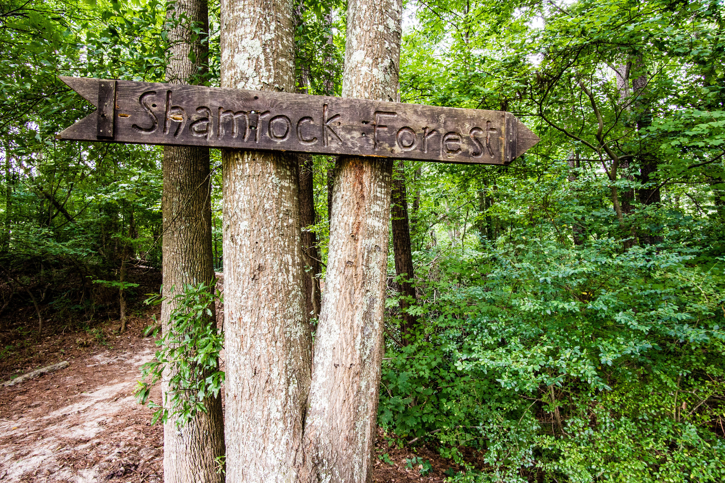
The 2.7 miles from Medlock Park to Shamrock Forest was the most consistently steep area I've biked in in Atlanta, which is really saying something. Long, steep uphills were followed by long, steep downhills, over and over again. It wasn't fun, but I eventually made it to Shamrock Forest. Hooray for having a wide range of gears!
Ride there:
Distance: 5.7 miles from Decatur station
Difficulty: Very strenuous
Traffic: Very little, other than moderate traffic on Medlock Rd.
The Hike
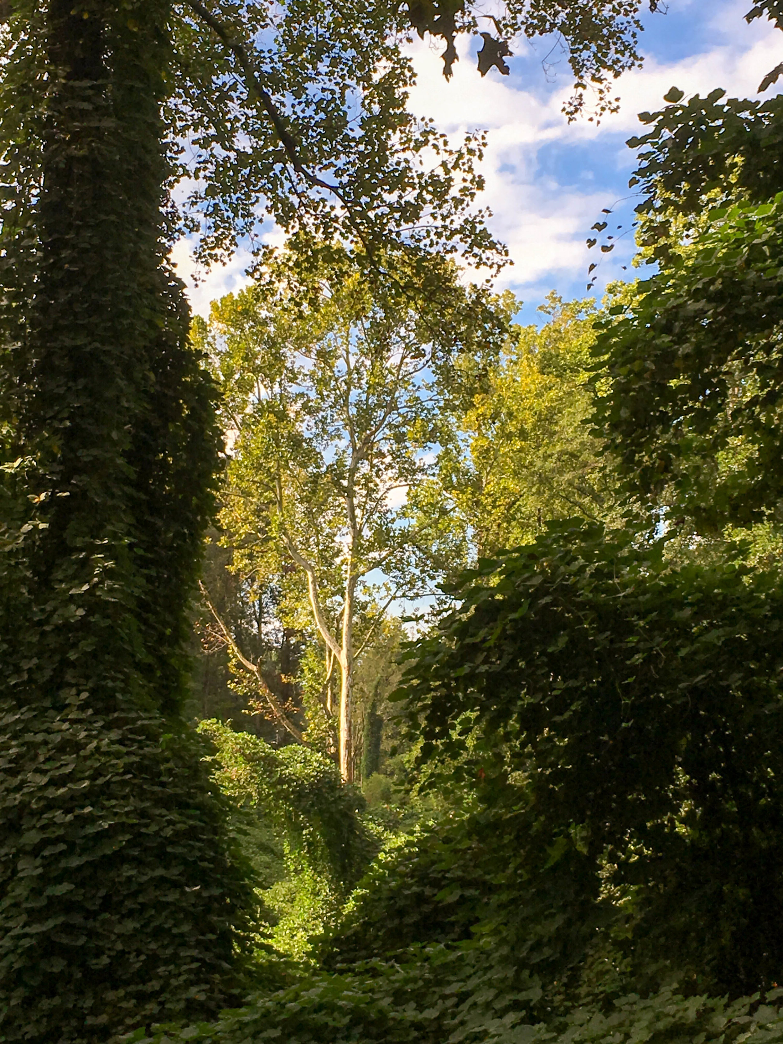
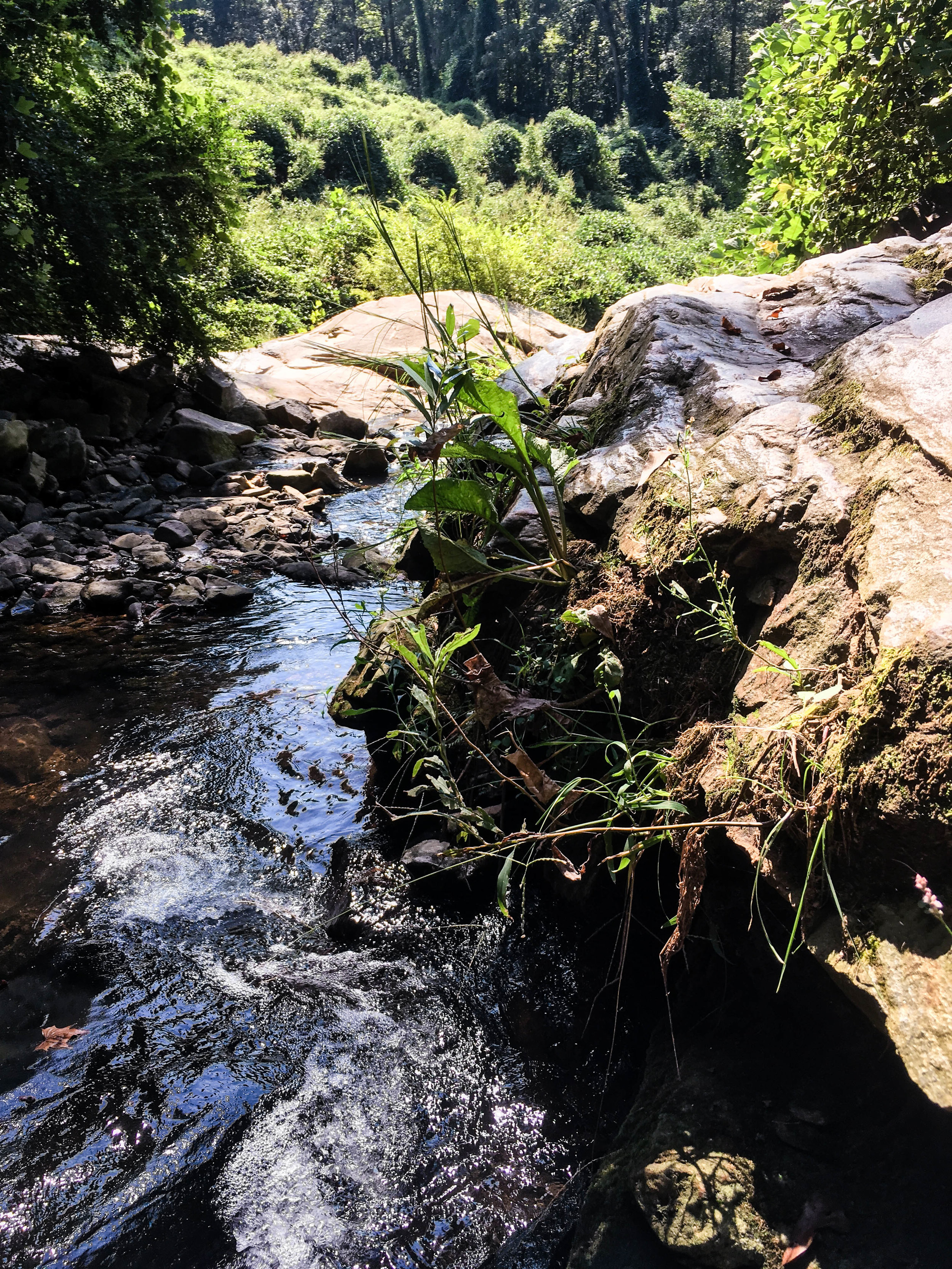
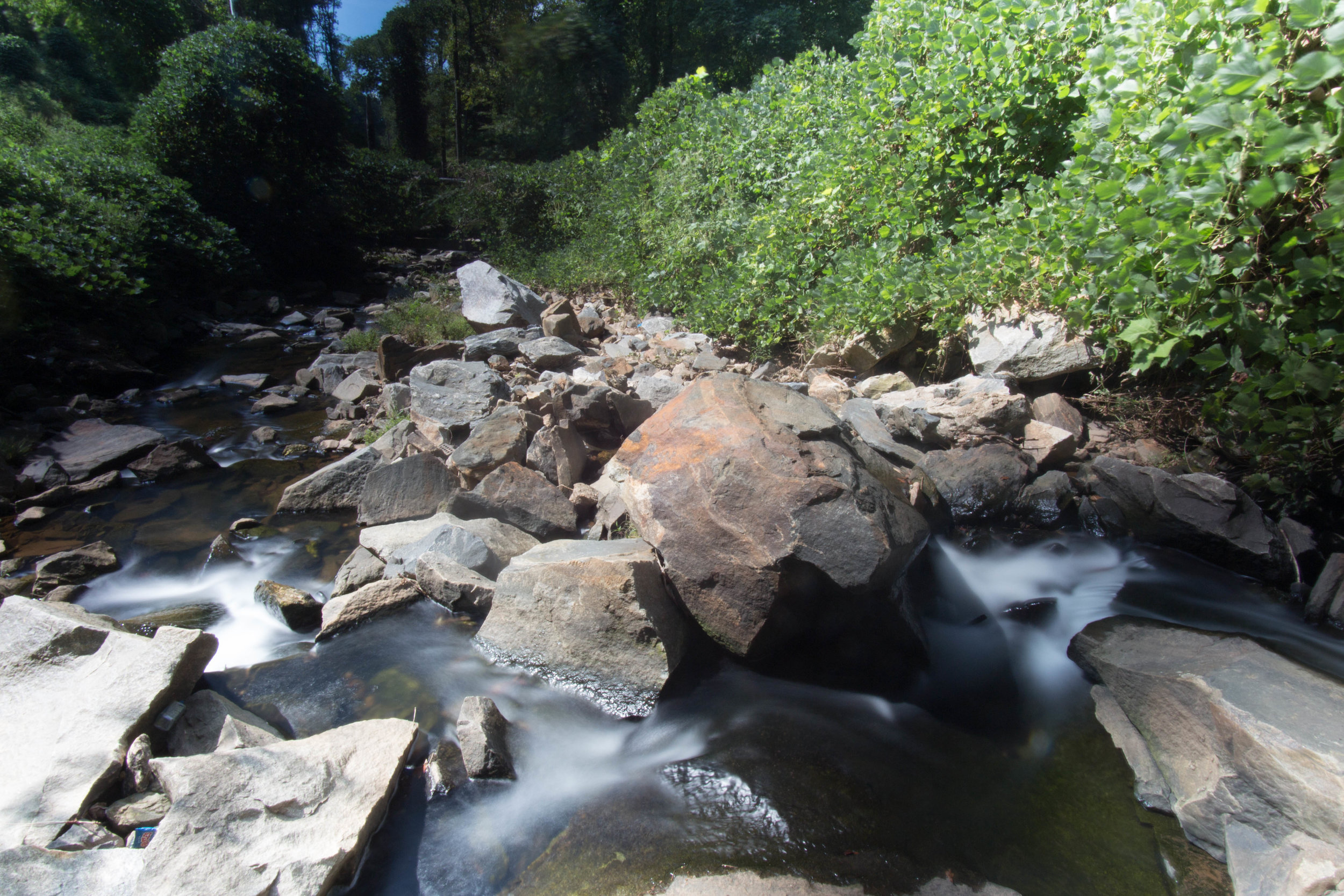
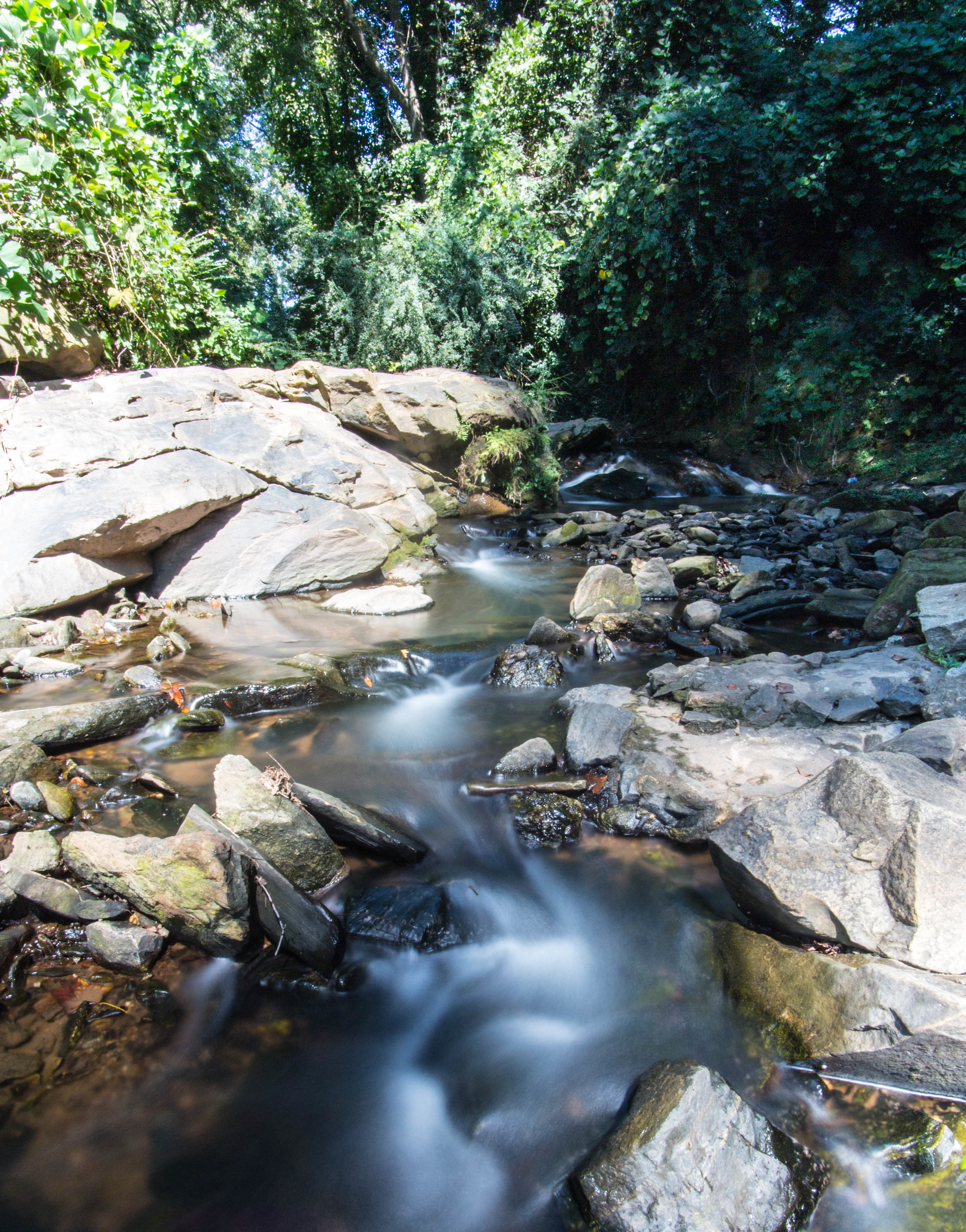
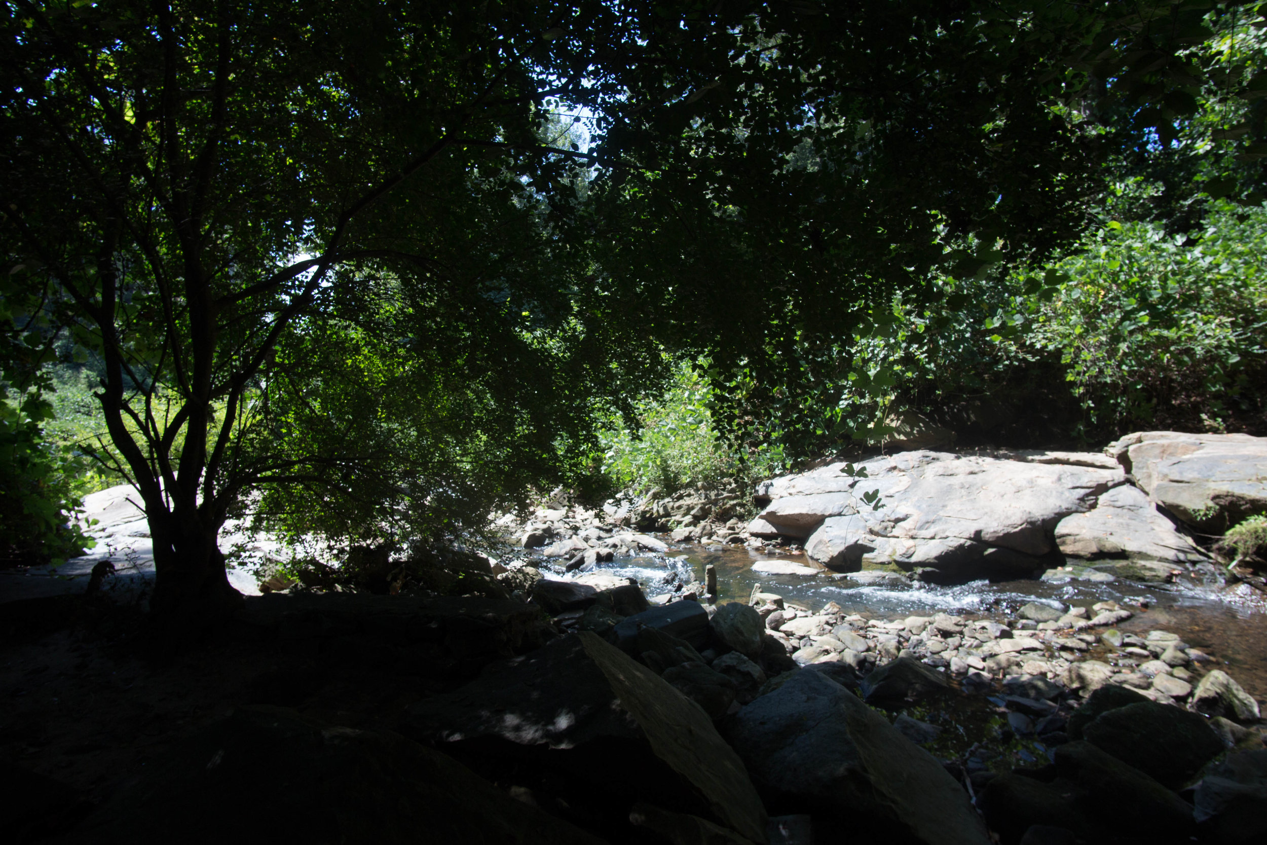
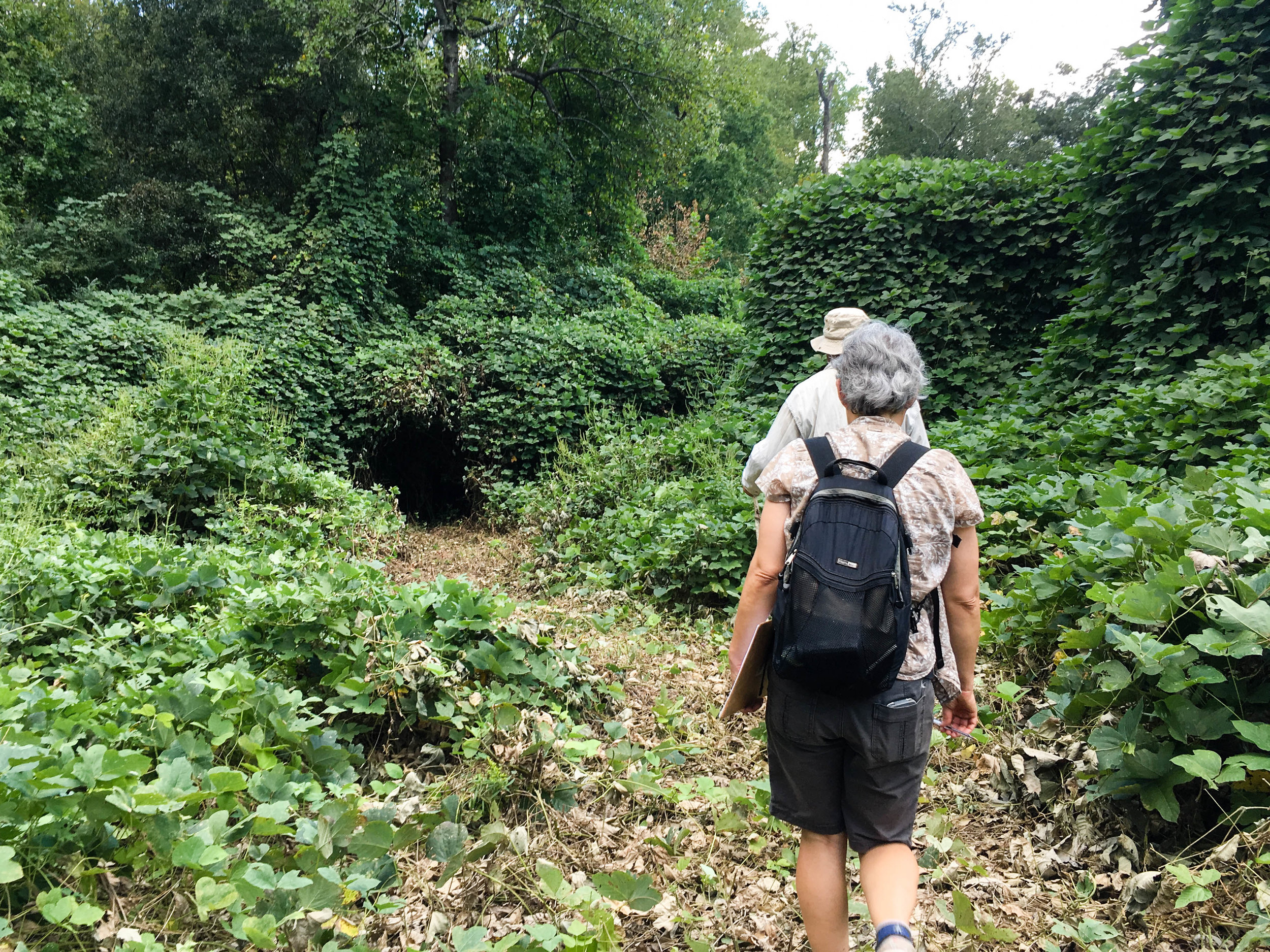
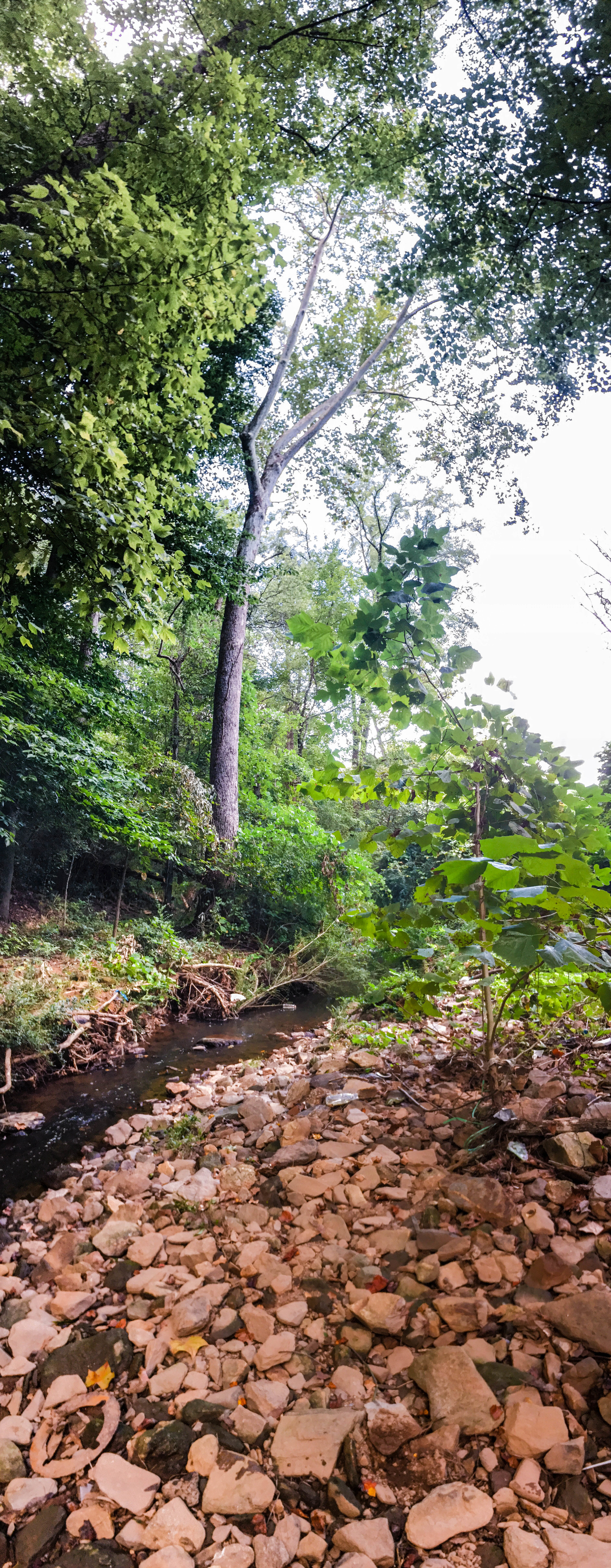
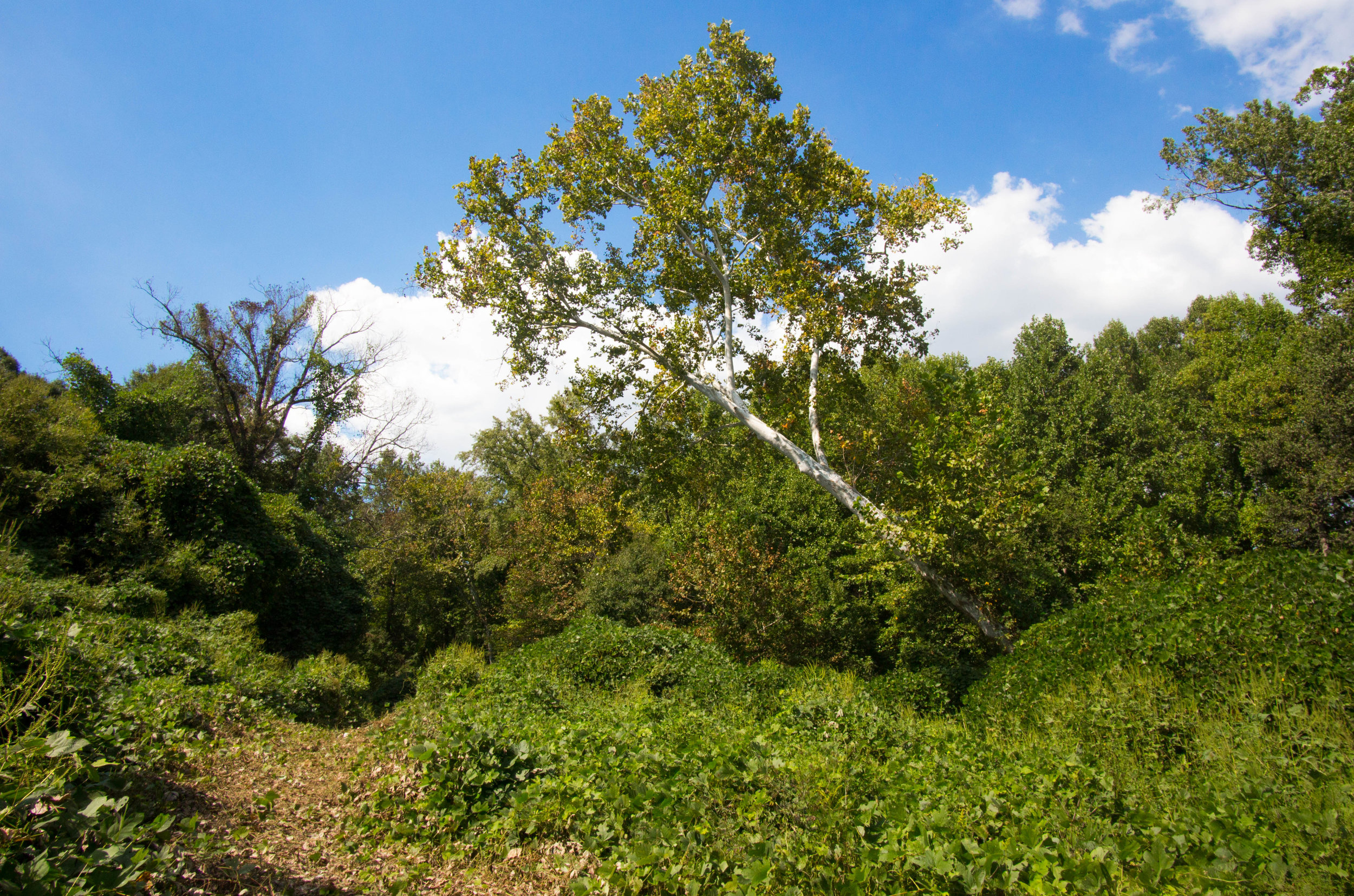
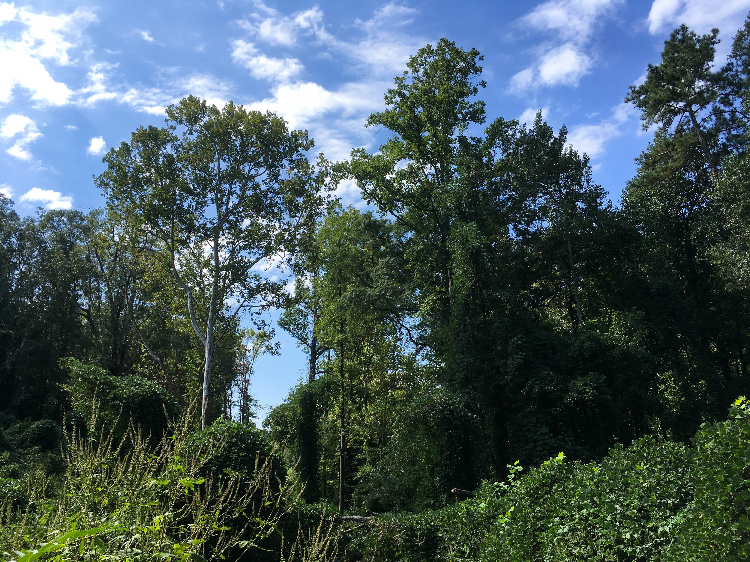
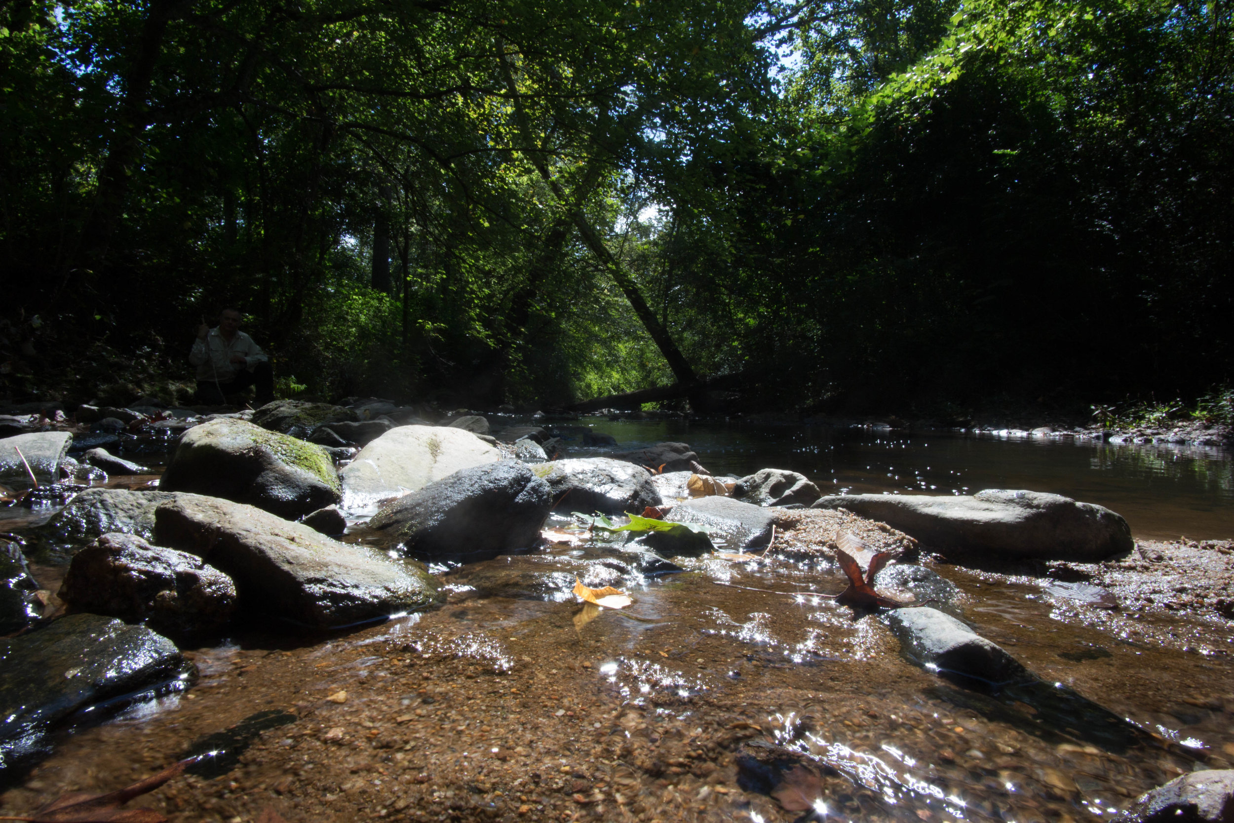
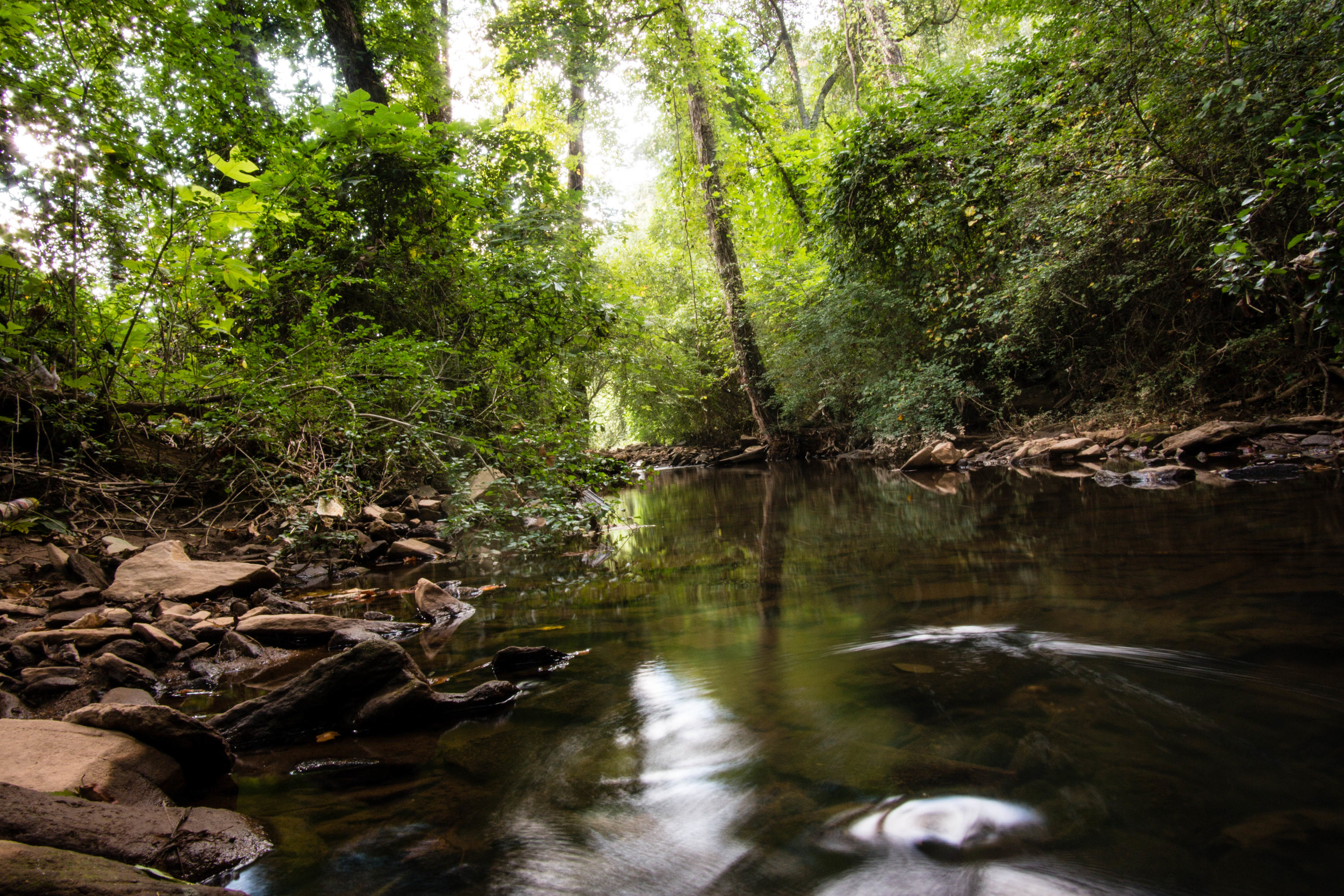
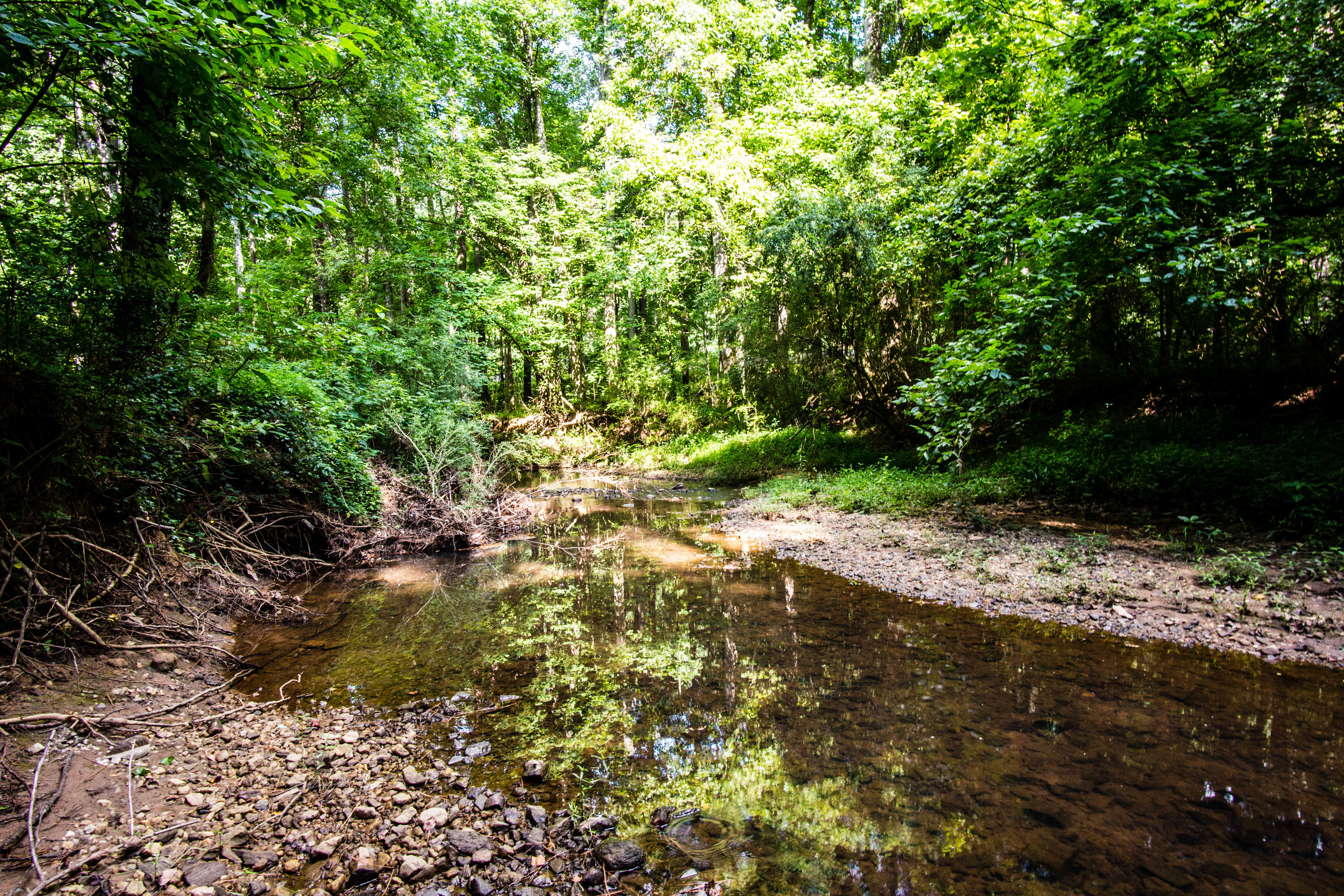
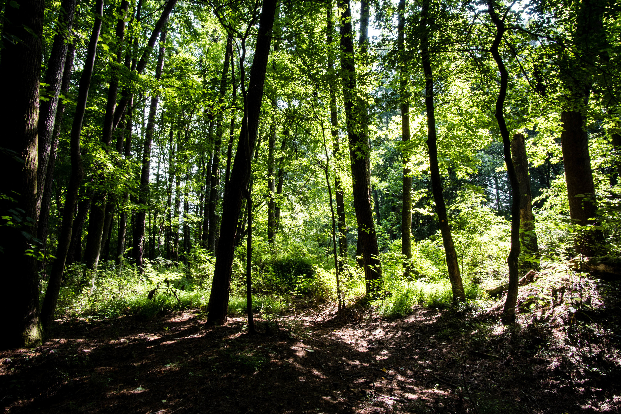
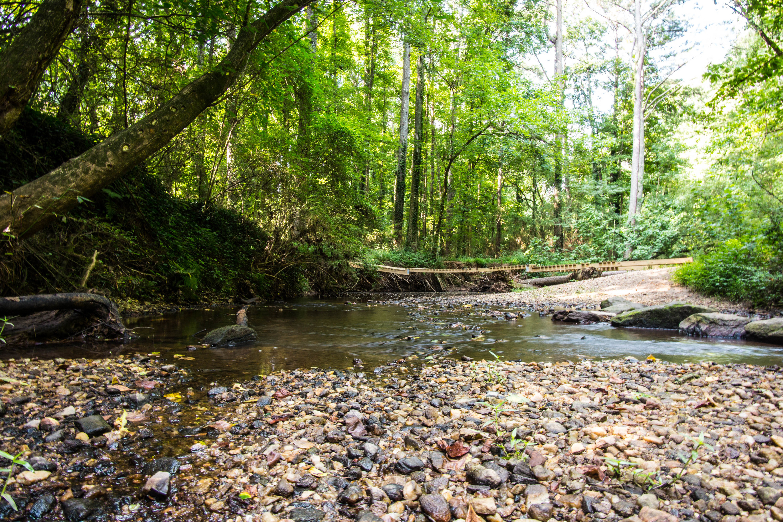
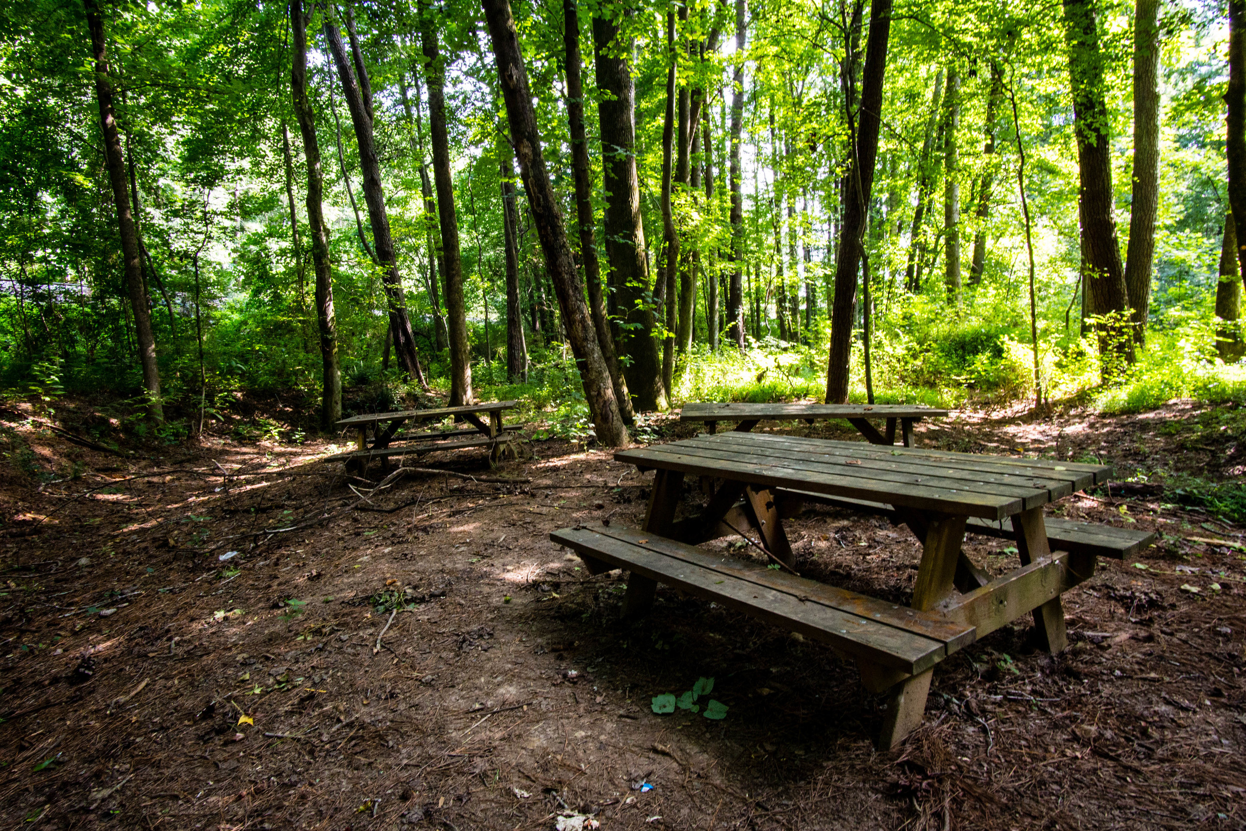
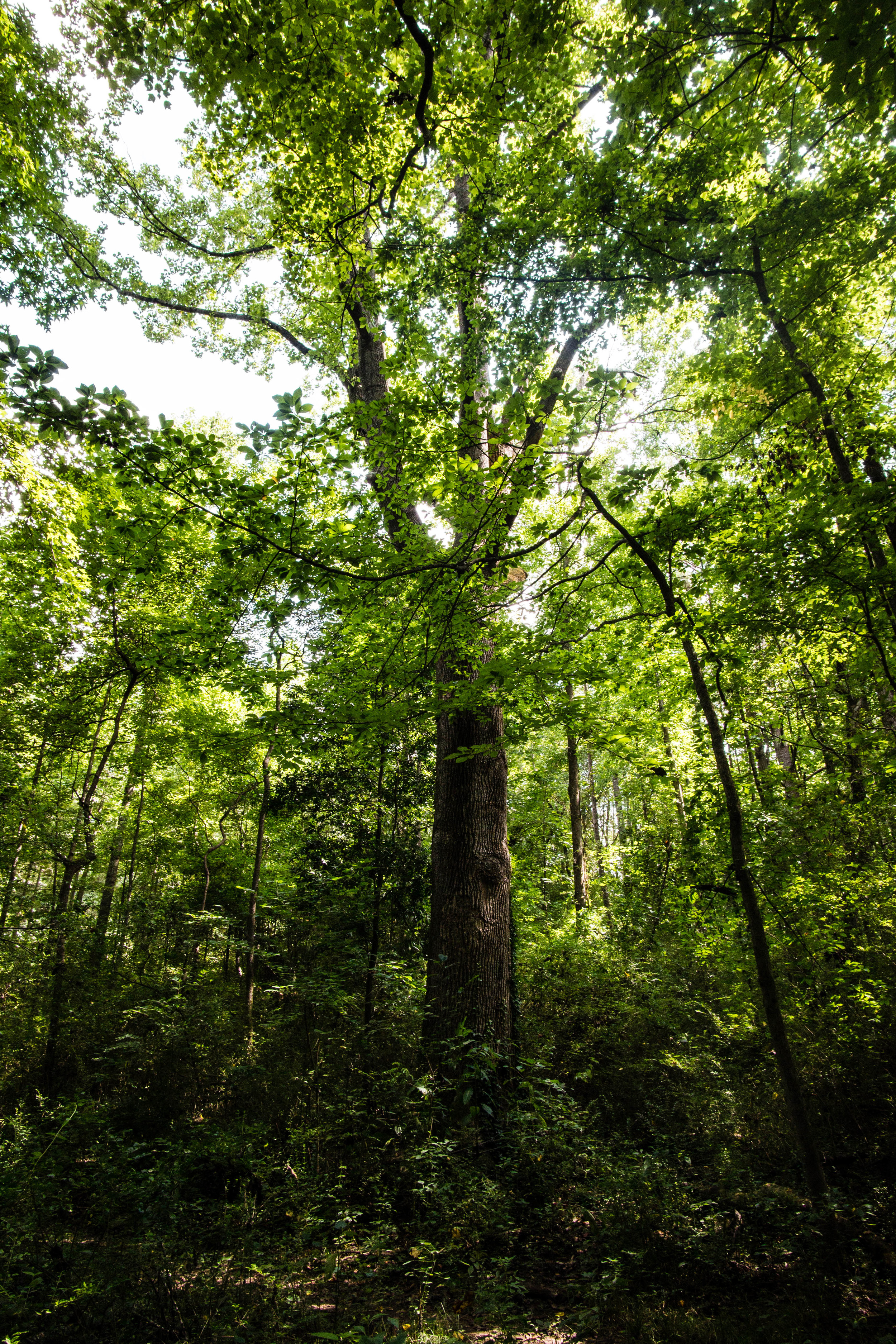
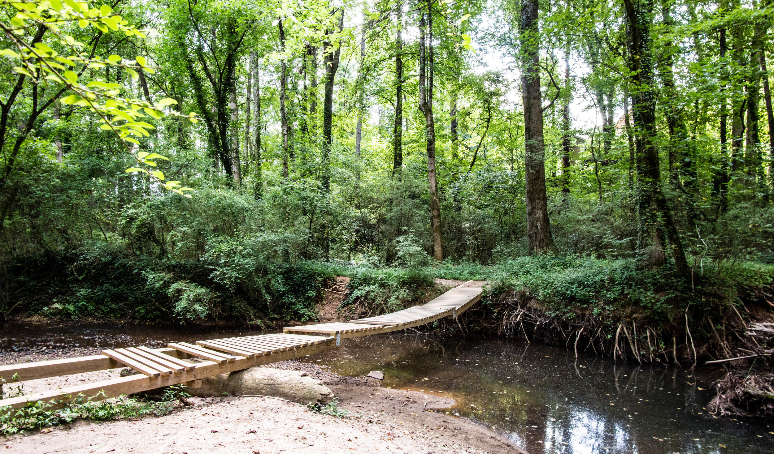
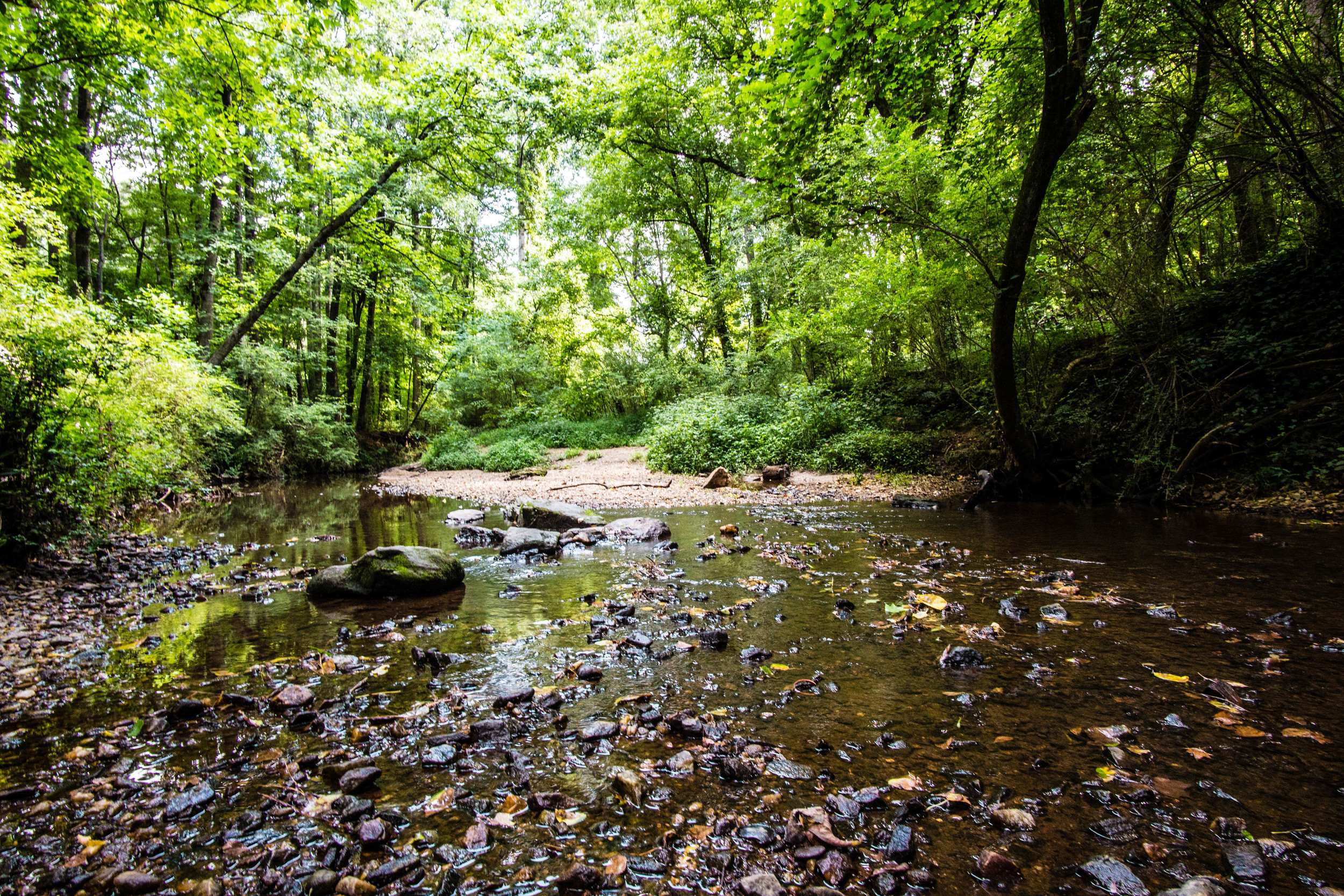
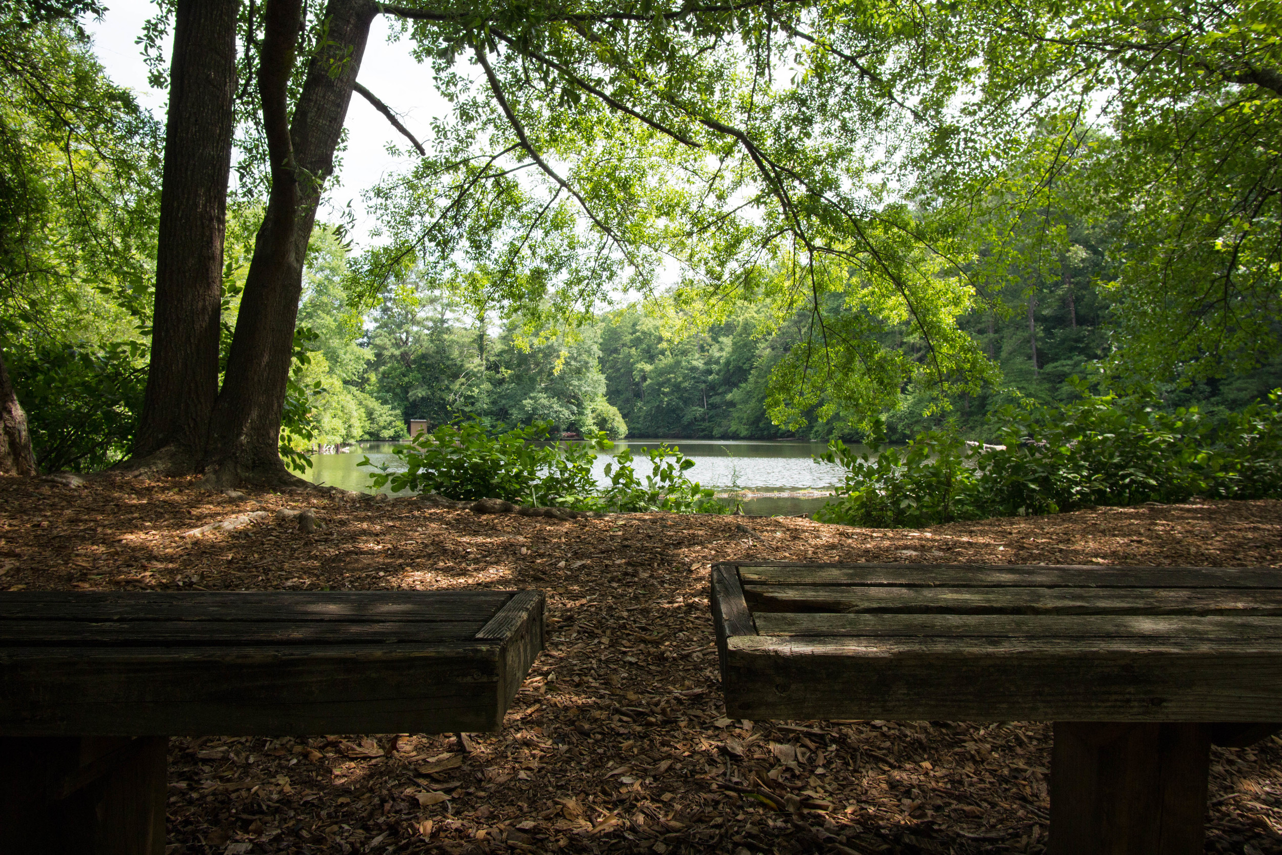
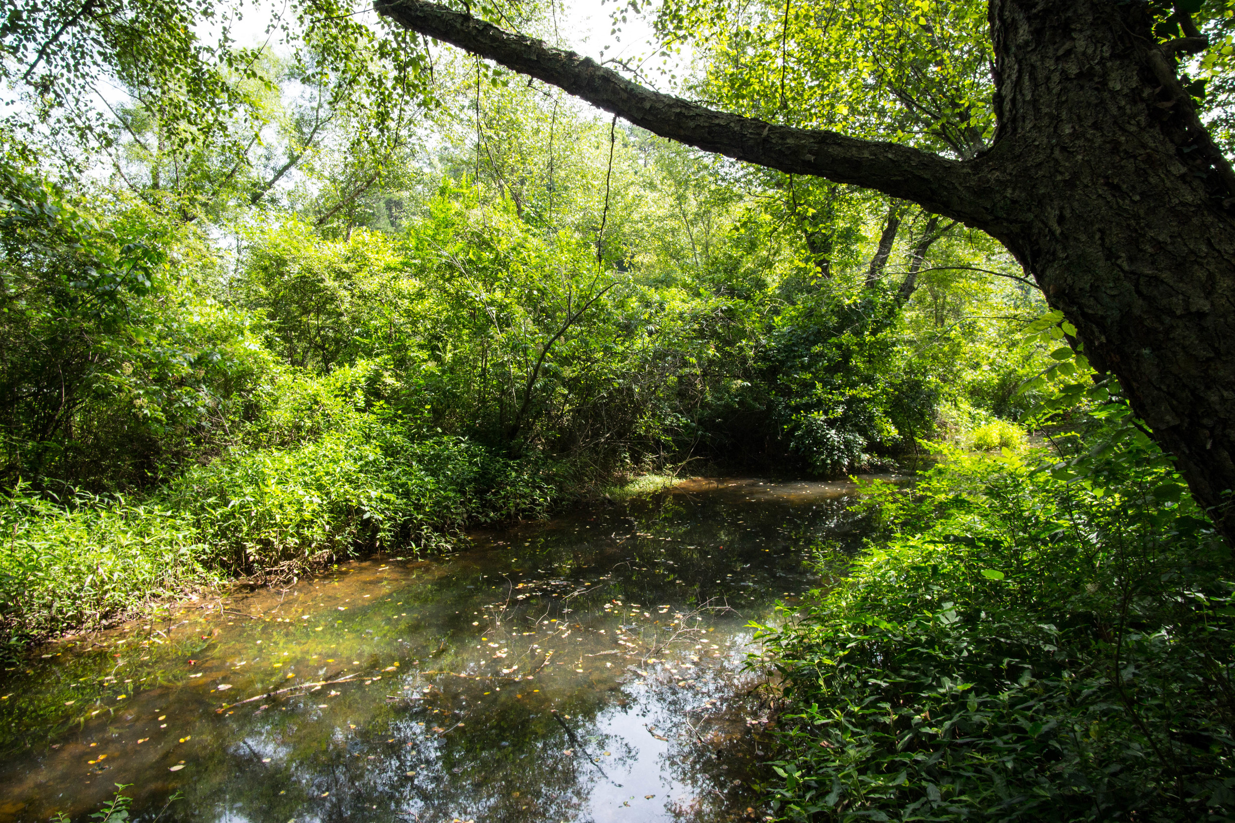
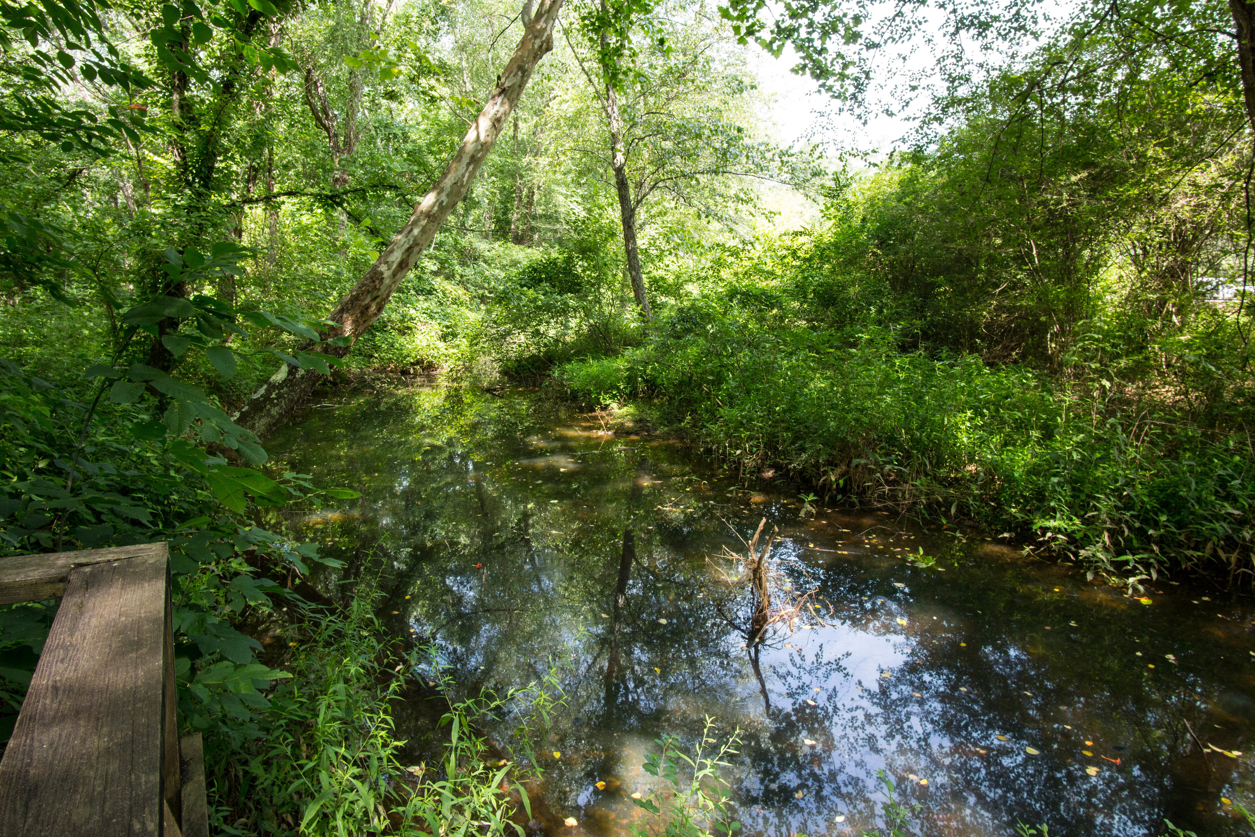
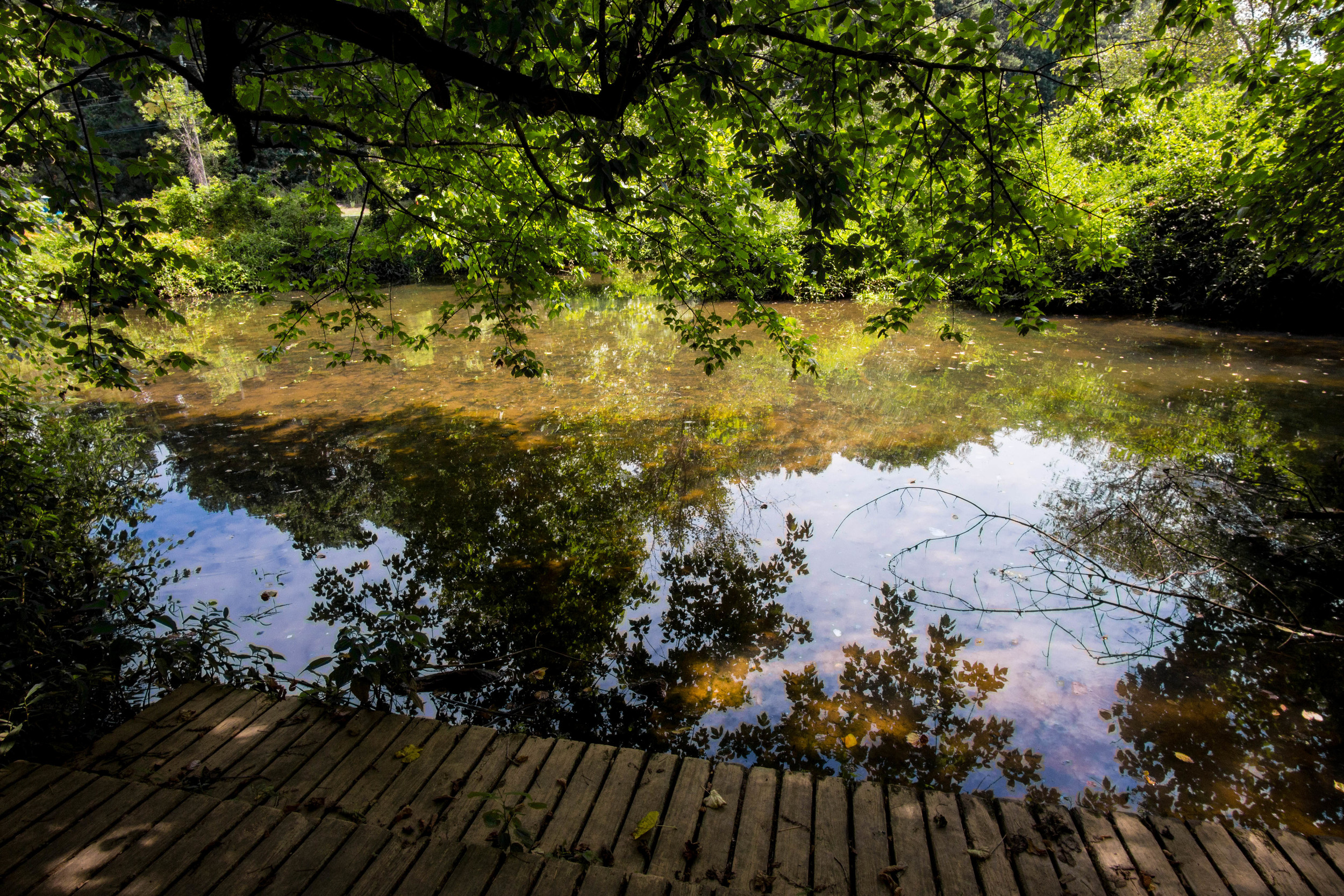
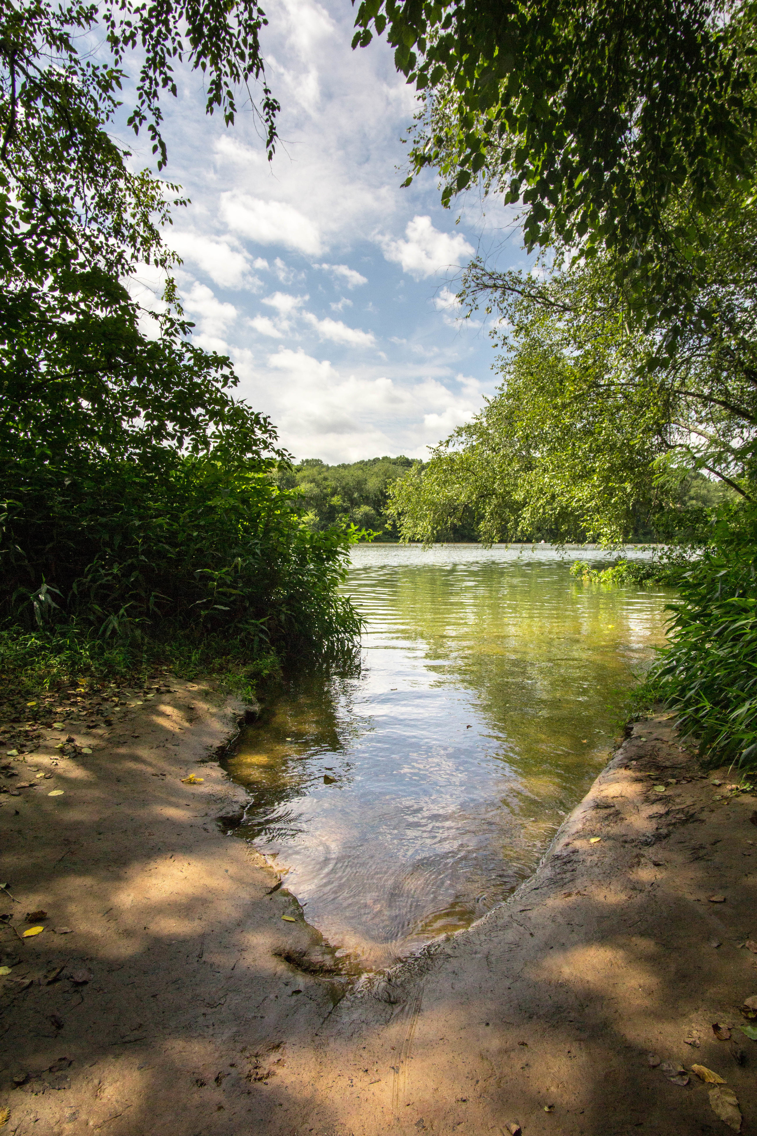
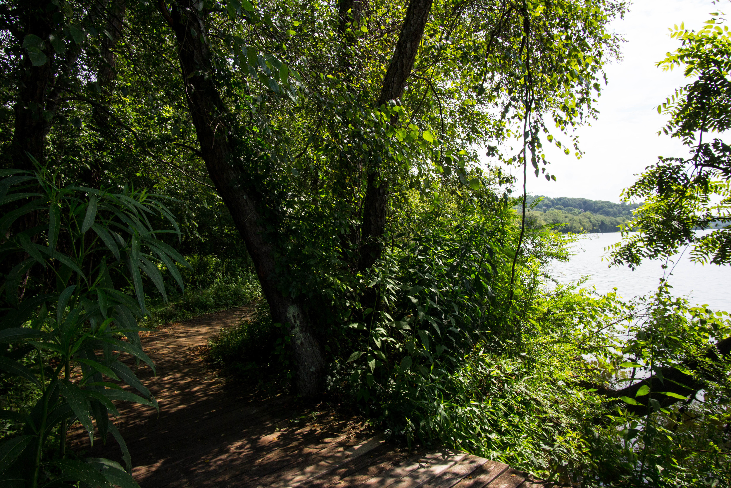
This was my first time at Shamrock Forest. Years ago, I met someone who was also really into urban hiking, and he told me about this trail, but I didn't get around to it for a while, and then I completely forgot about it. I was planning to go to the Tiny House Festival, so I figured I'd check out a trail or two near downtown Decatur. When I looked at the map to plan out my day, I saw Shamrock Forest and remembered how highly it was recommended. It was a bit of a ride to get there, but it was totally worth it. That said, if I go back I might take an Uber or convince a friend with a car to go with me.

