Mercer University Cecil B. Day Campus Nature Trail
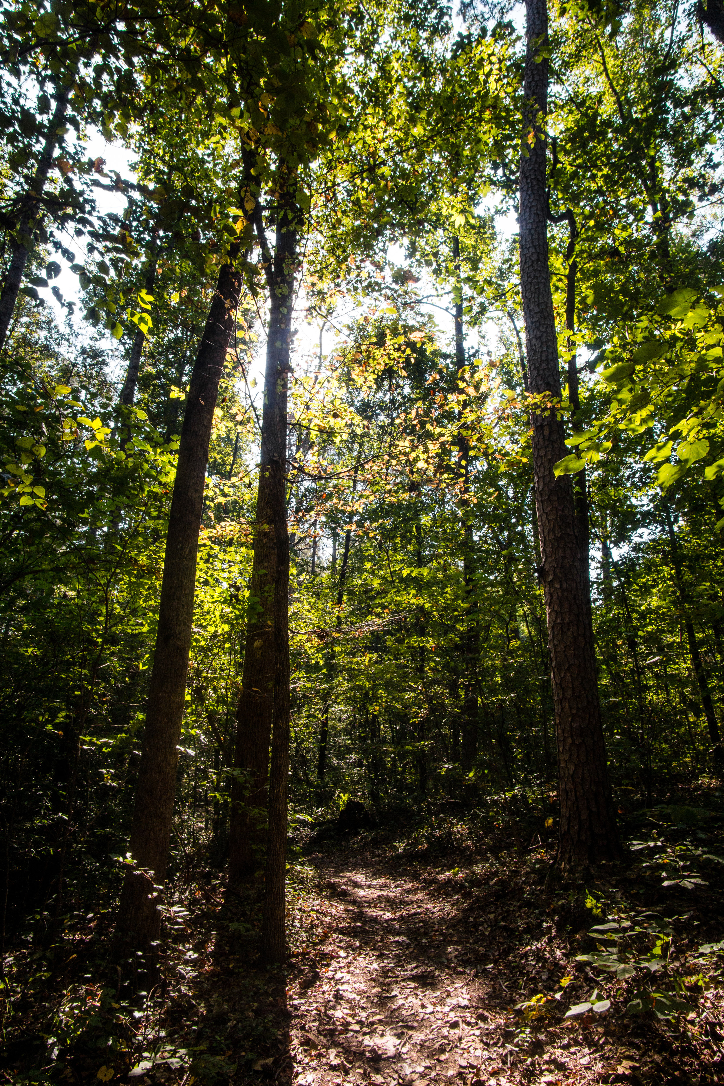
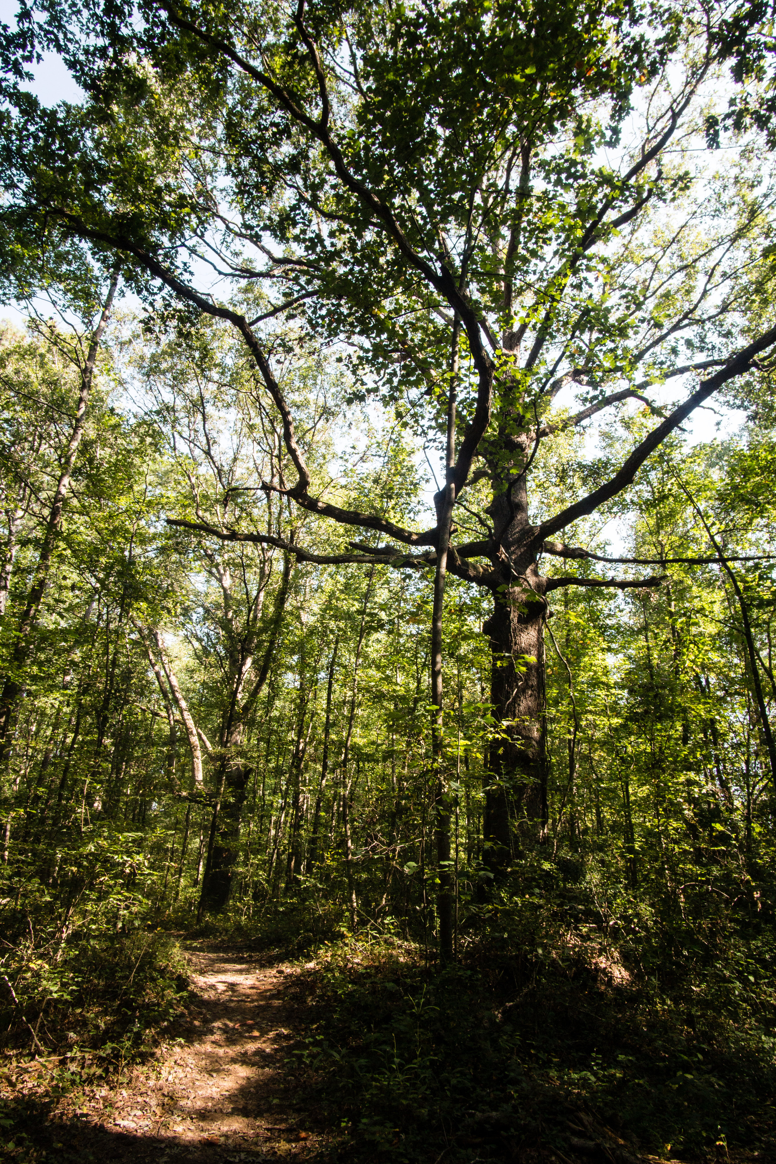
There are two unconnected trails at Mercer. The east trail has seen more use and better upkeep than the west trail. The east trail has two segments on opposite sides of the road just south of the east parking lot.
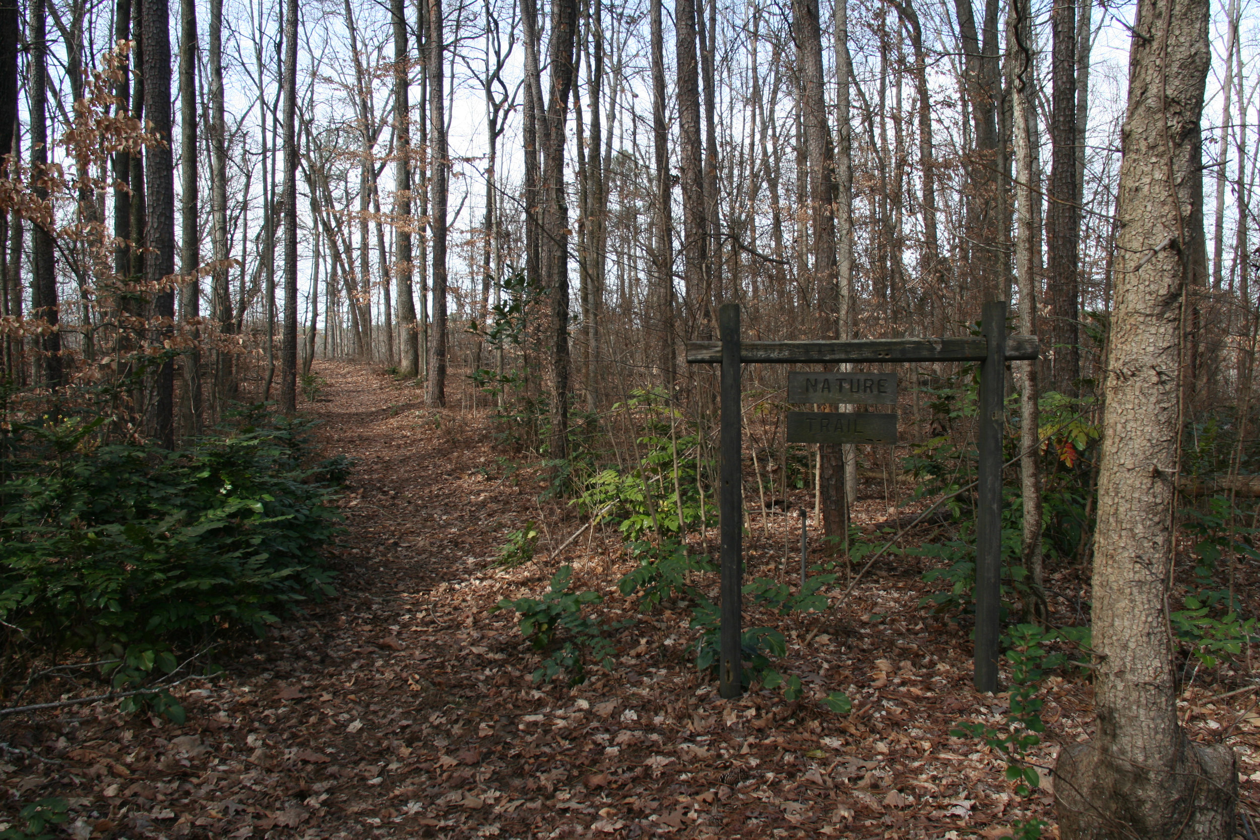
The east trail trailheads are marked with a sign saying “Mercer University Cecil B. Day Campus Nature Trail” and listing the rules of the trail. Some of these signs are obscured by trees and set far off the road where they may not be easily visible. The west trail trailheads are marked by wooden signs saying “Nature Trail”.
Address: University Cir, Atlanta, GA 30341
Admission: None
Acres: 97
Approximate miles of trails: 2
Hours: Dawn to dusk
Miles from downtown Atlanta: 13
Finding the primary trailhead: Take I-85 North to exit 94. Turn right onto Chamblee Tucker Rd. Follow the signs to Mercer University. Once you are on campus, the east trails are accessible from East Parking, and the west trails are accessible from West or East AACC Parking.
East trail trailhead coordinates: 33.871915, -84.260159
West trail trailhead coordinates: 33.874295, -84.265083 and 33.873723, -84.266796
Parking: Parking appears to be free; no permit needed. Parking may be limited during peak class times.
Good to combine with:
Updated August 3, 2016 & September 24, 2017
