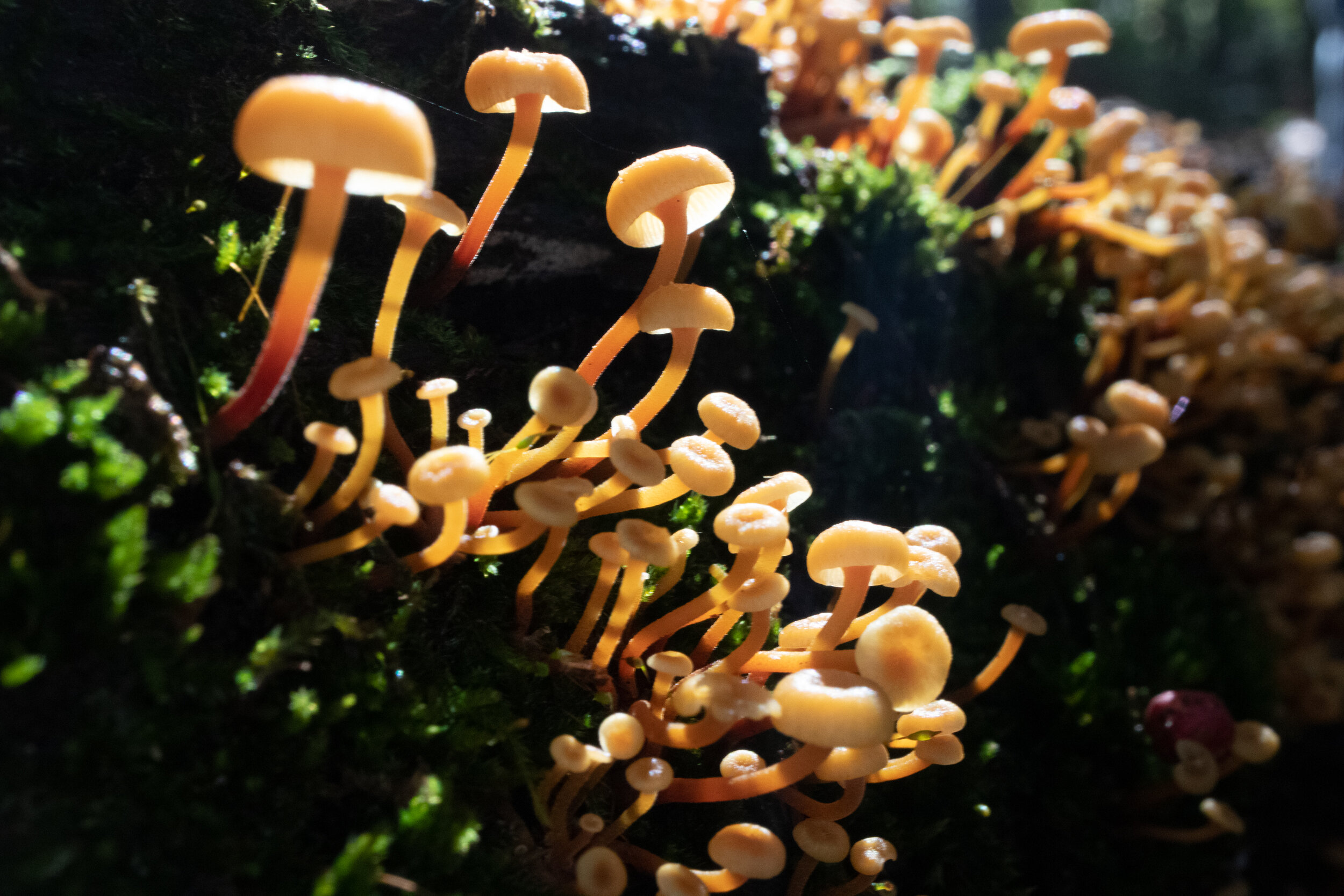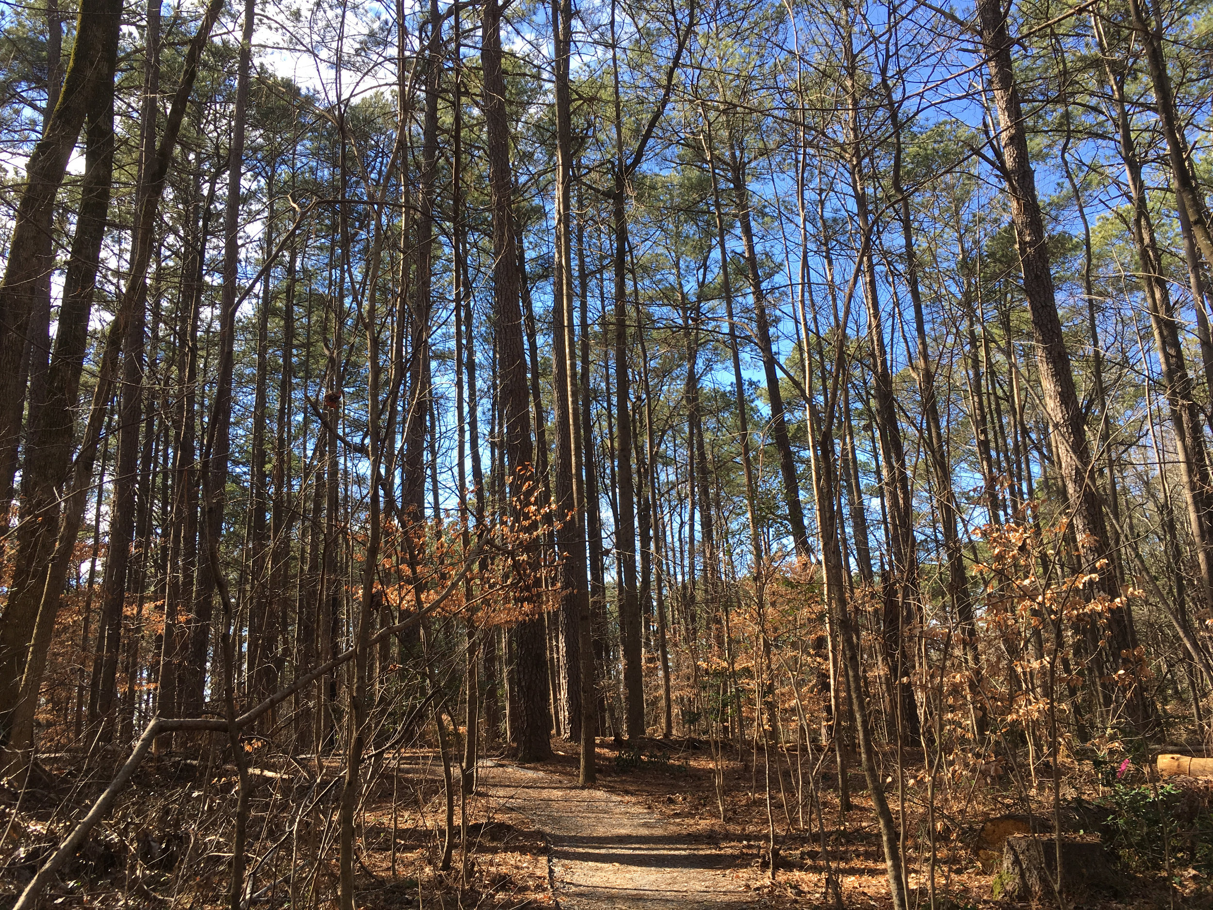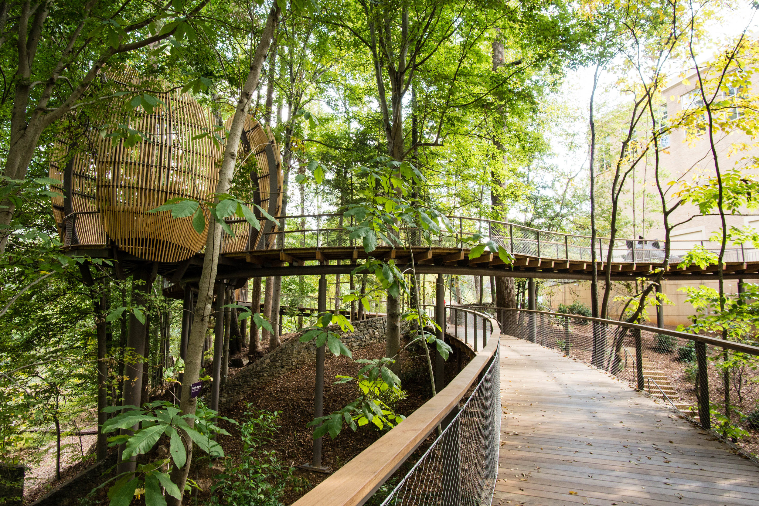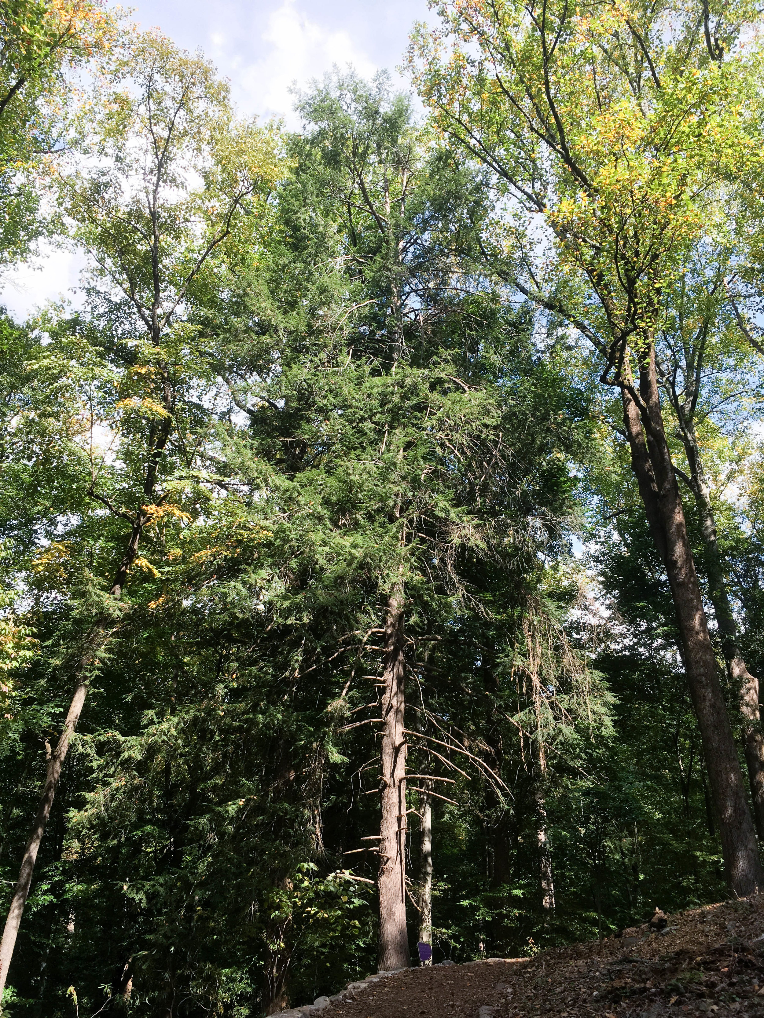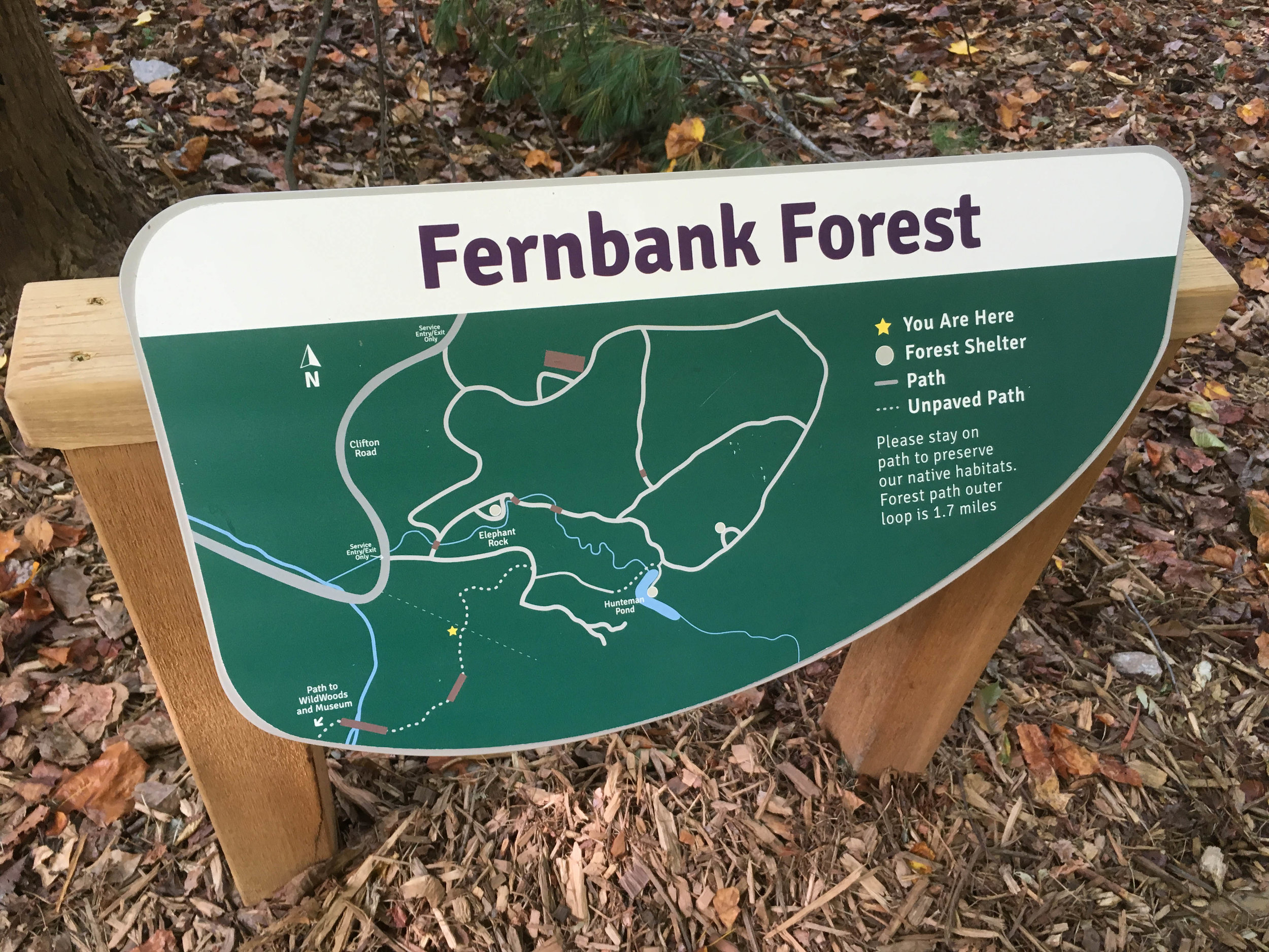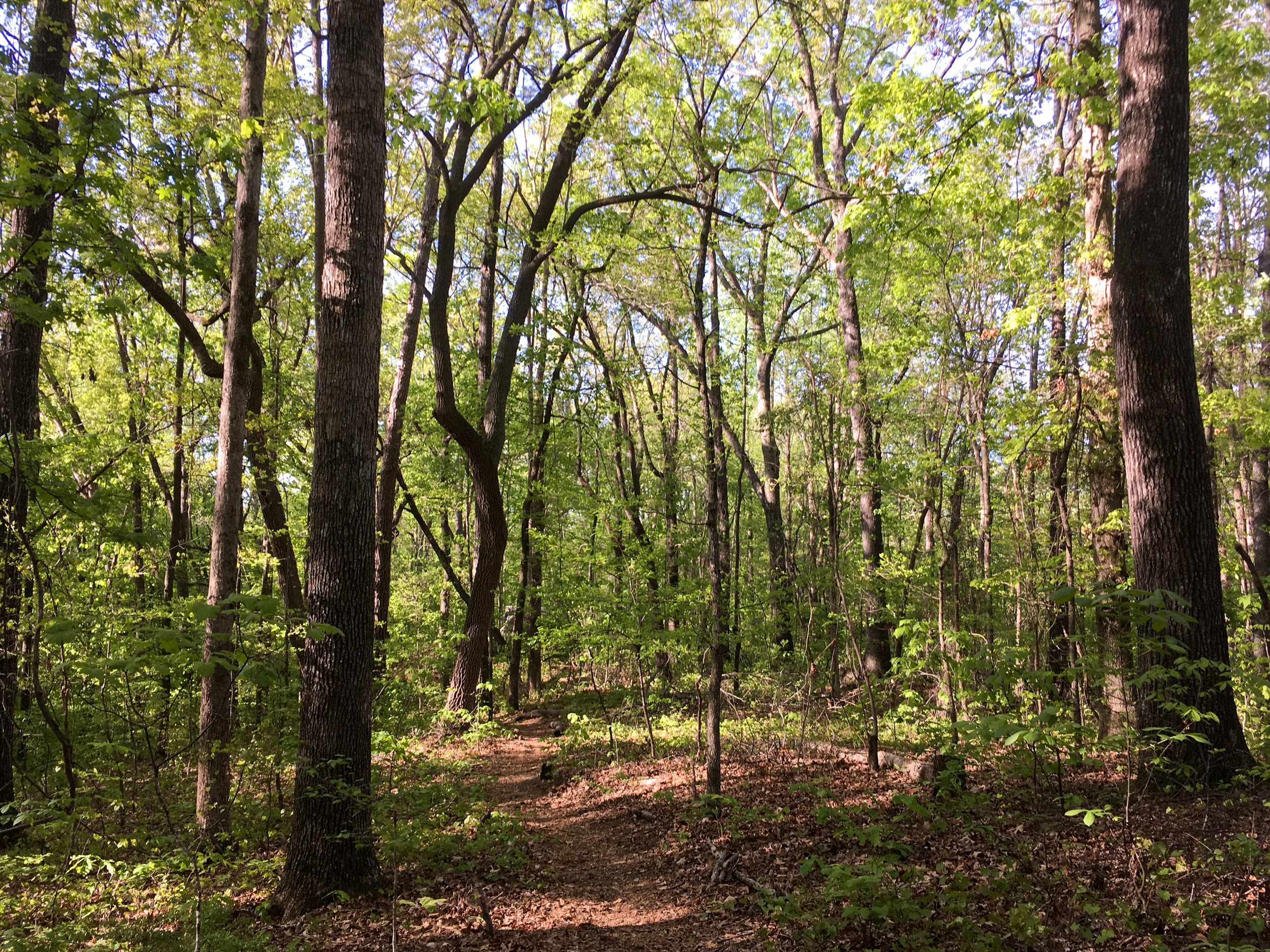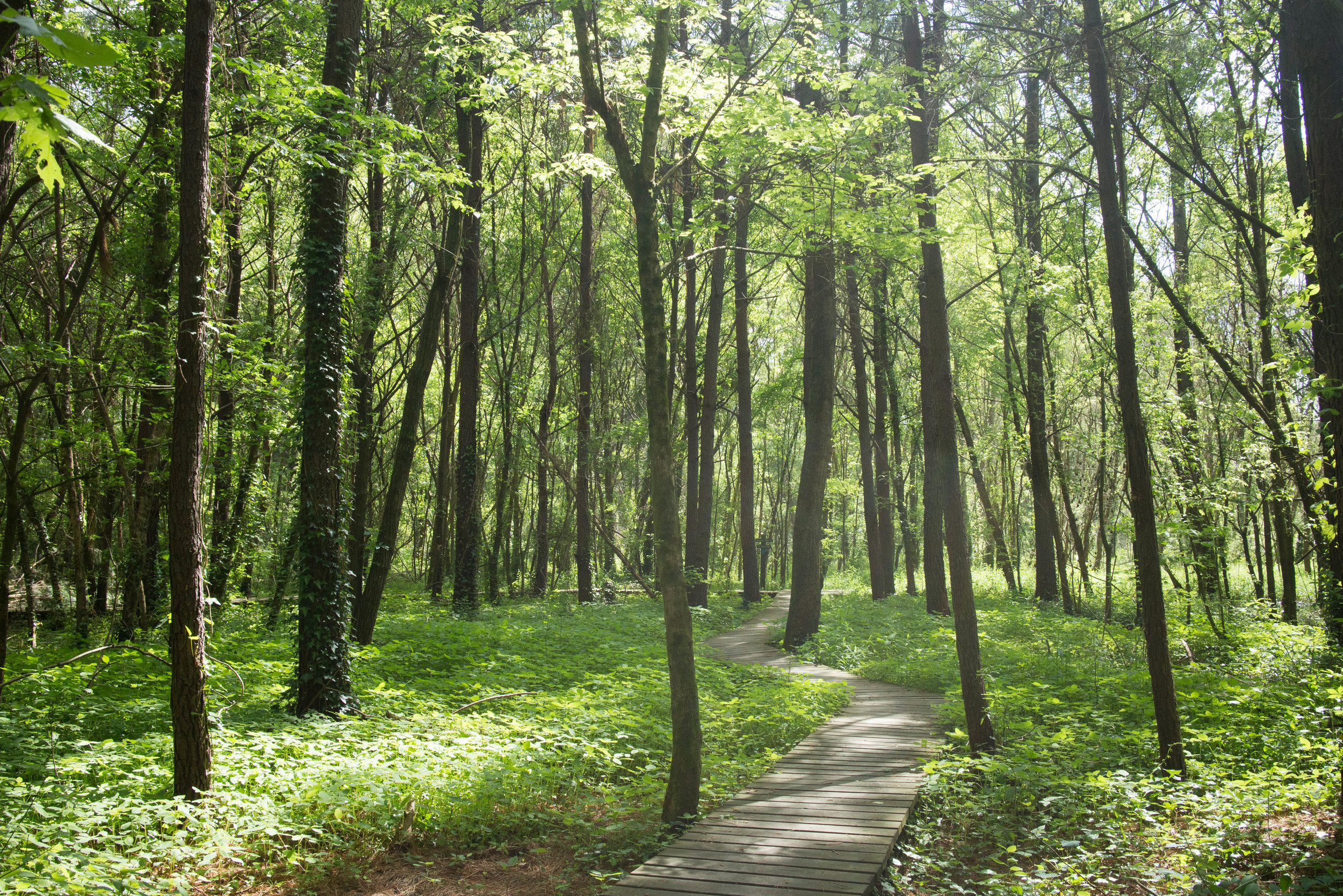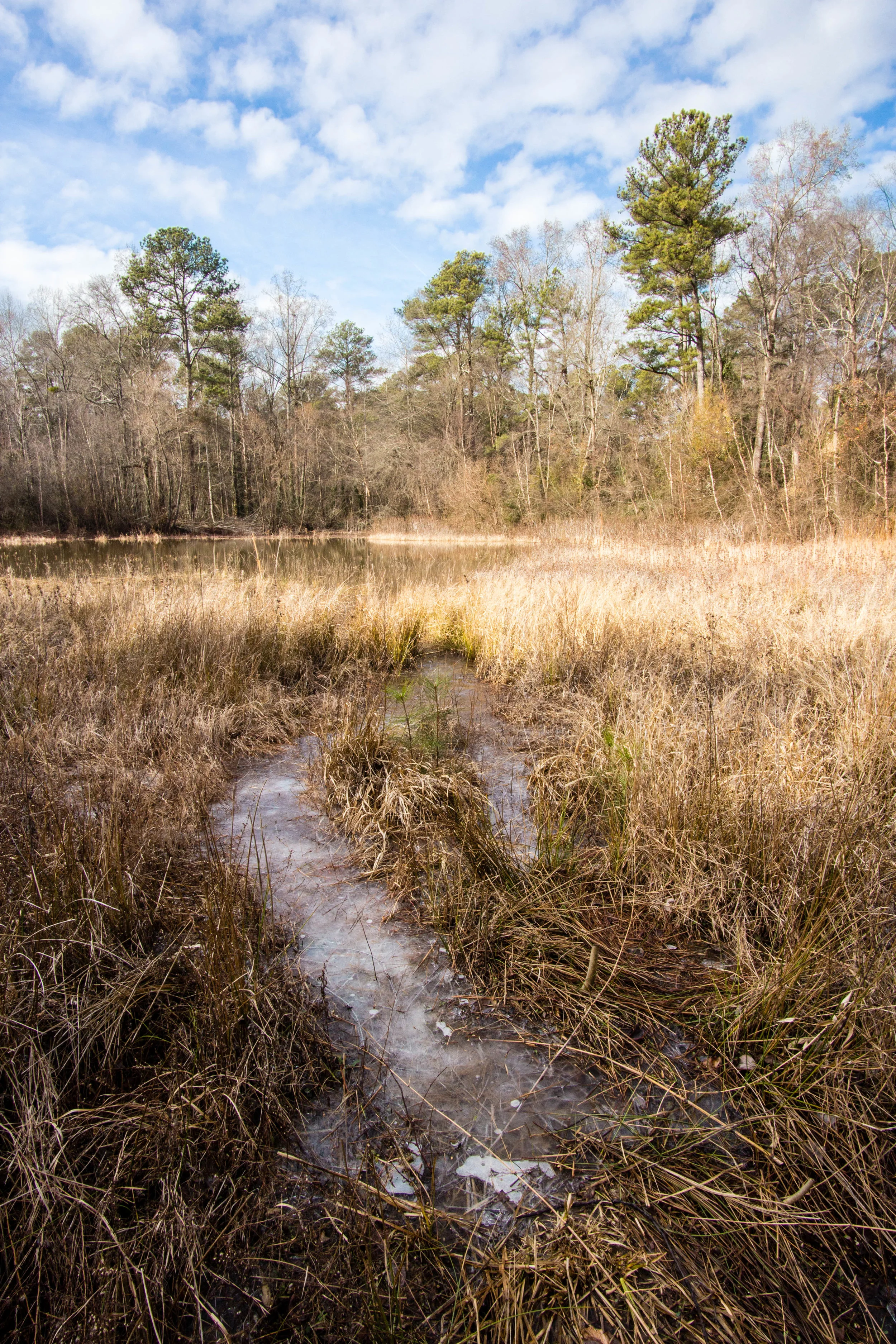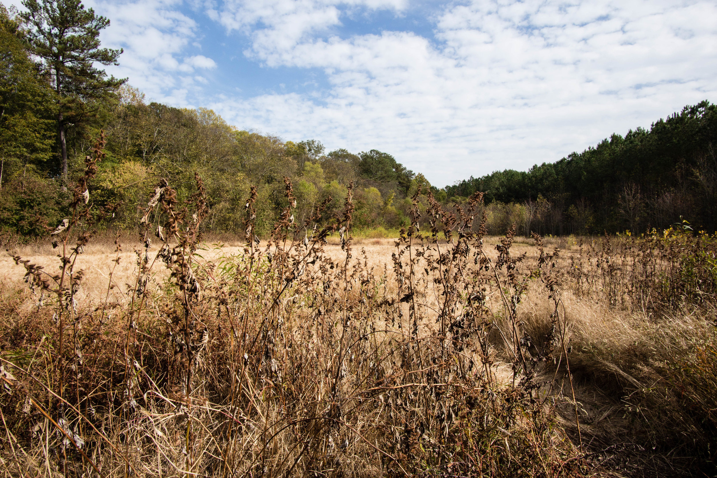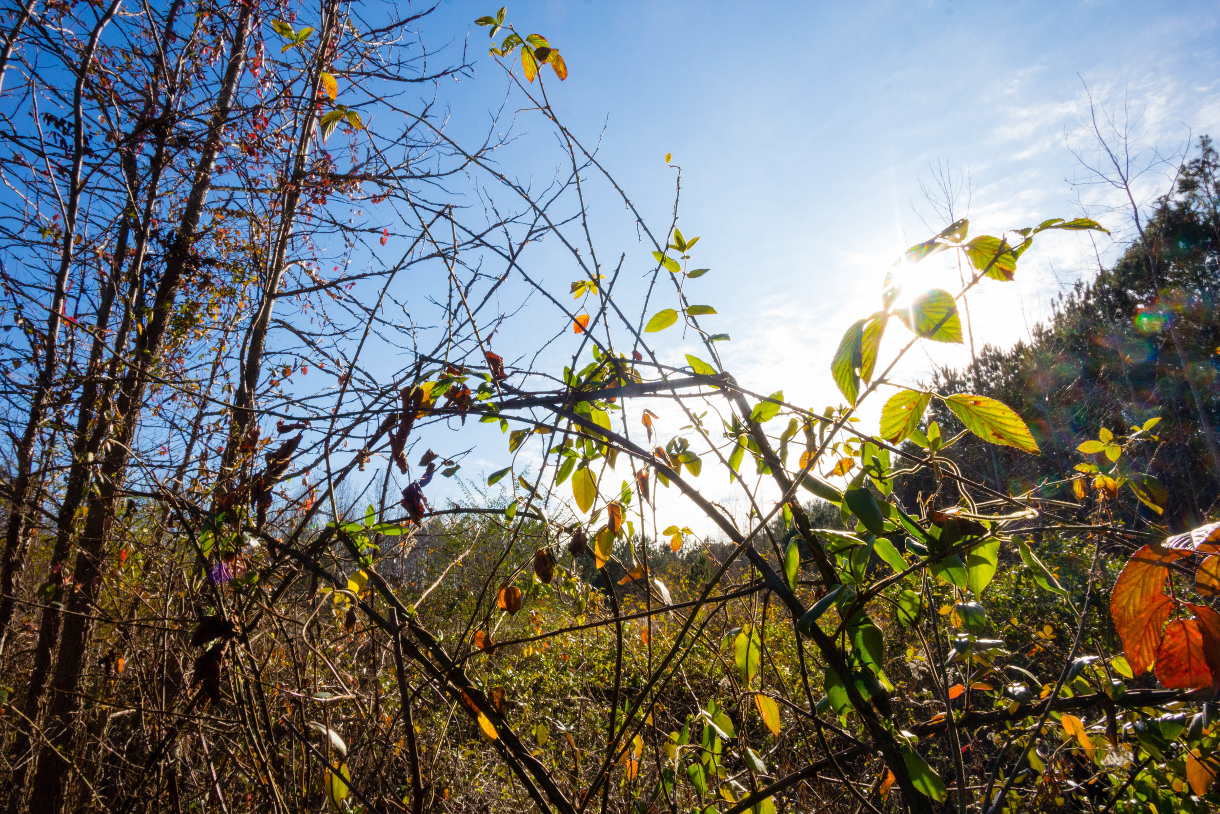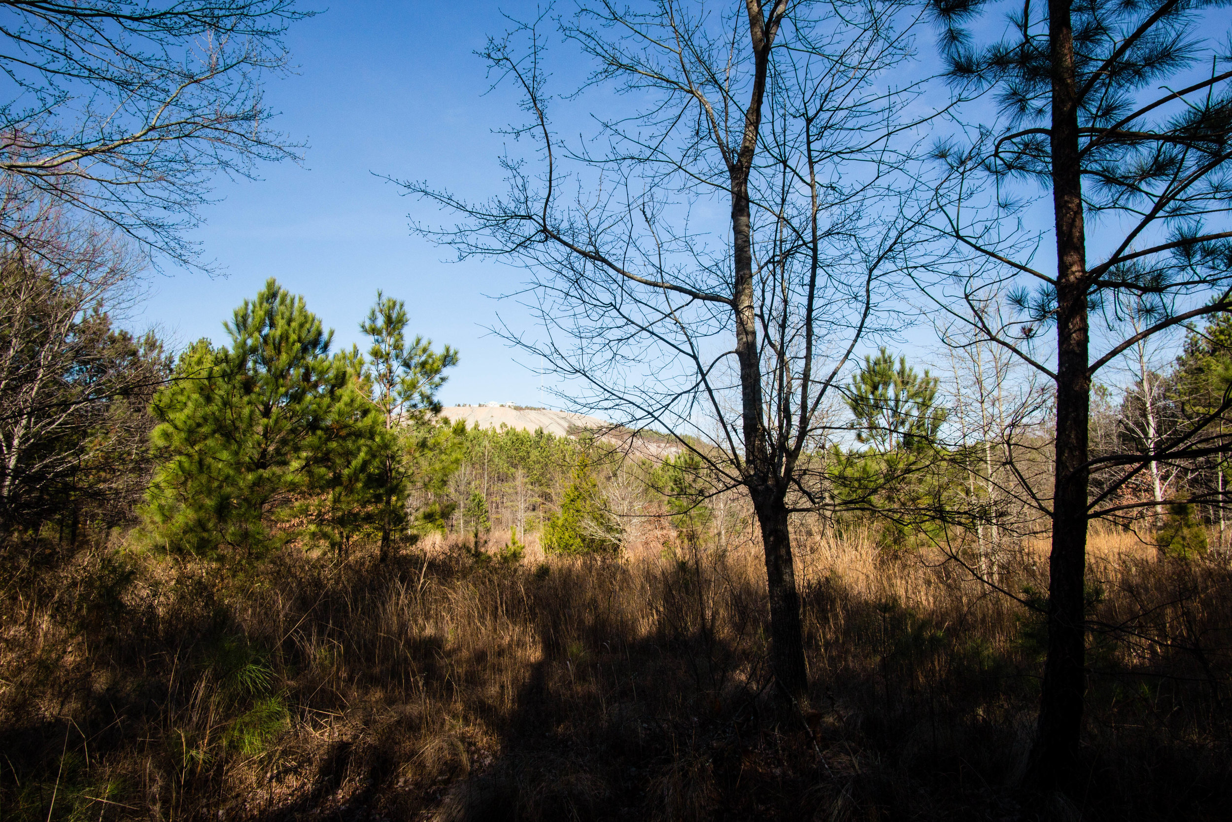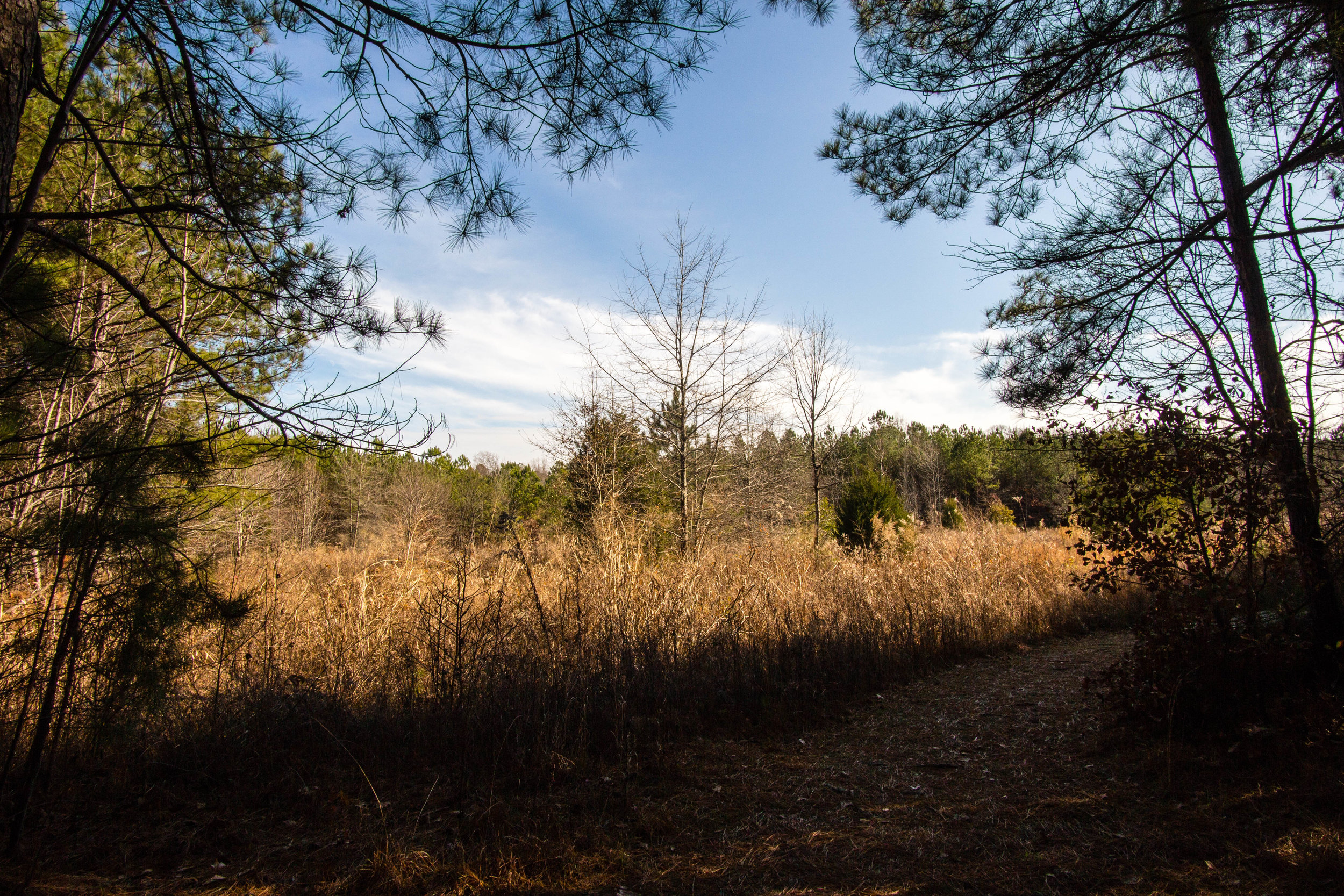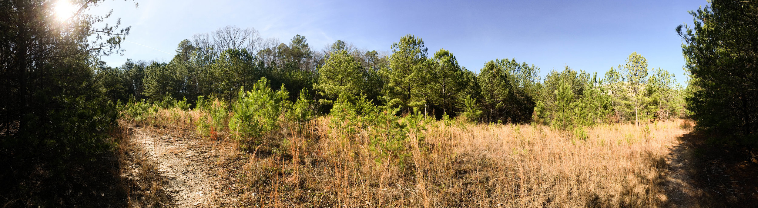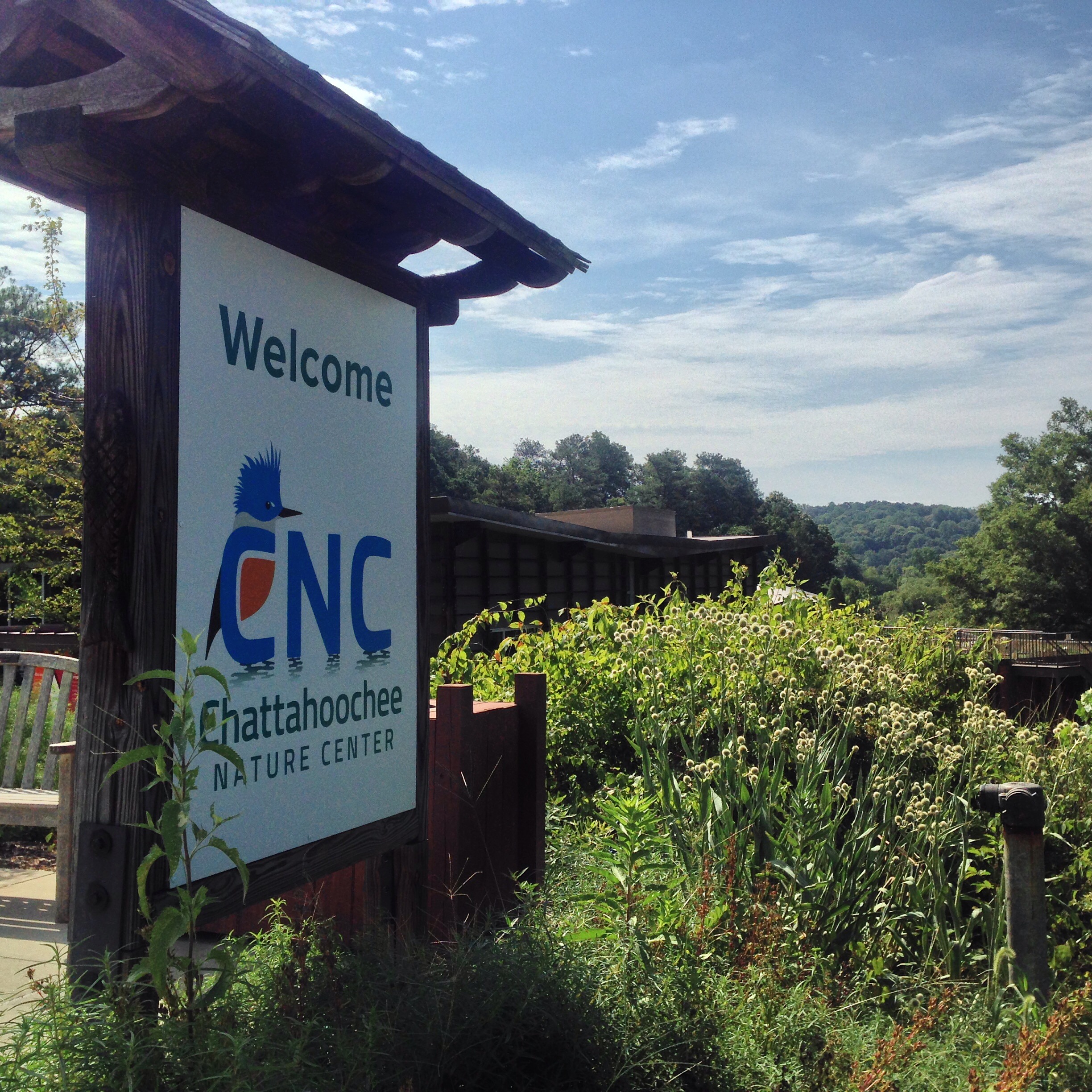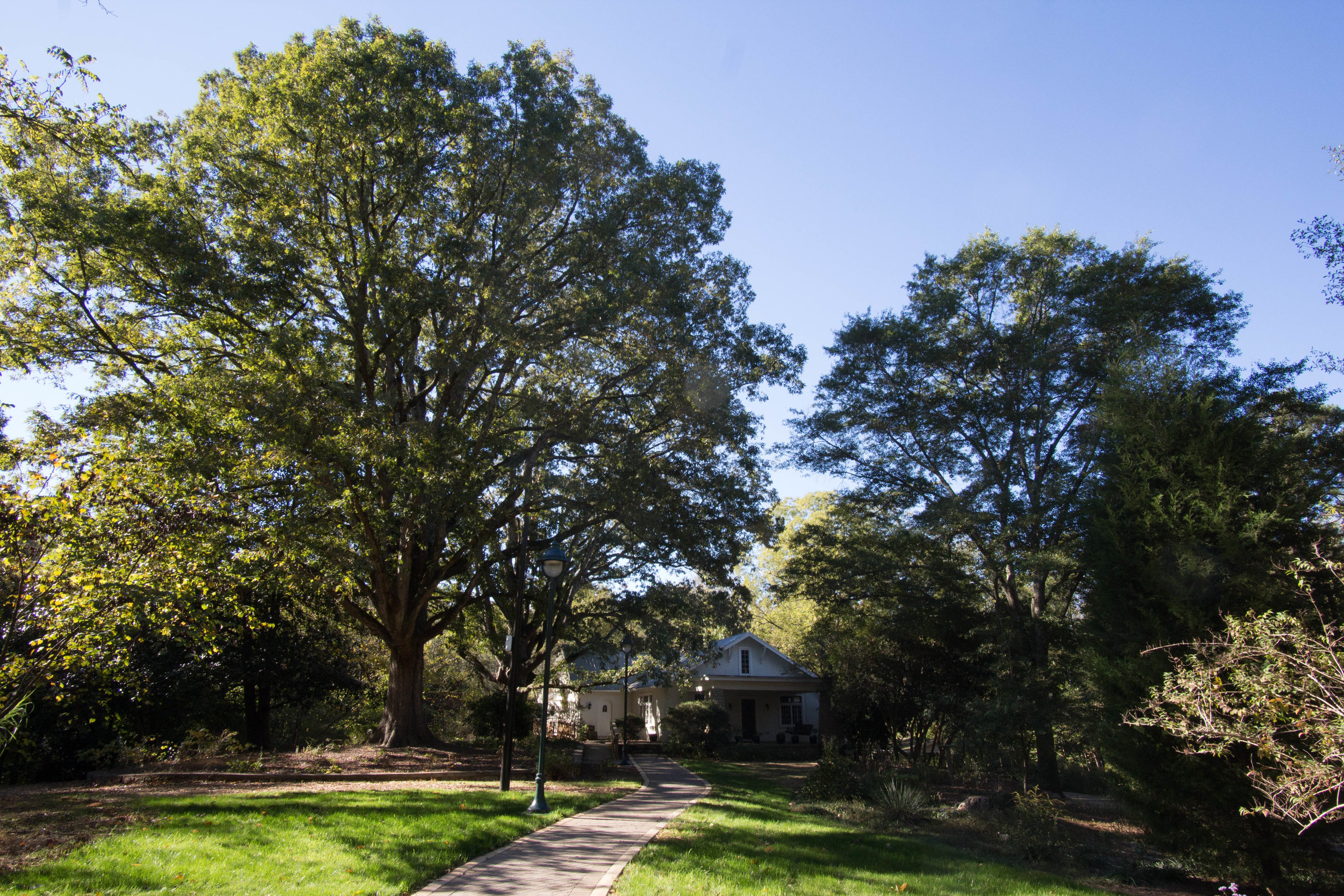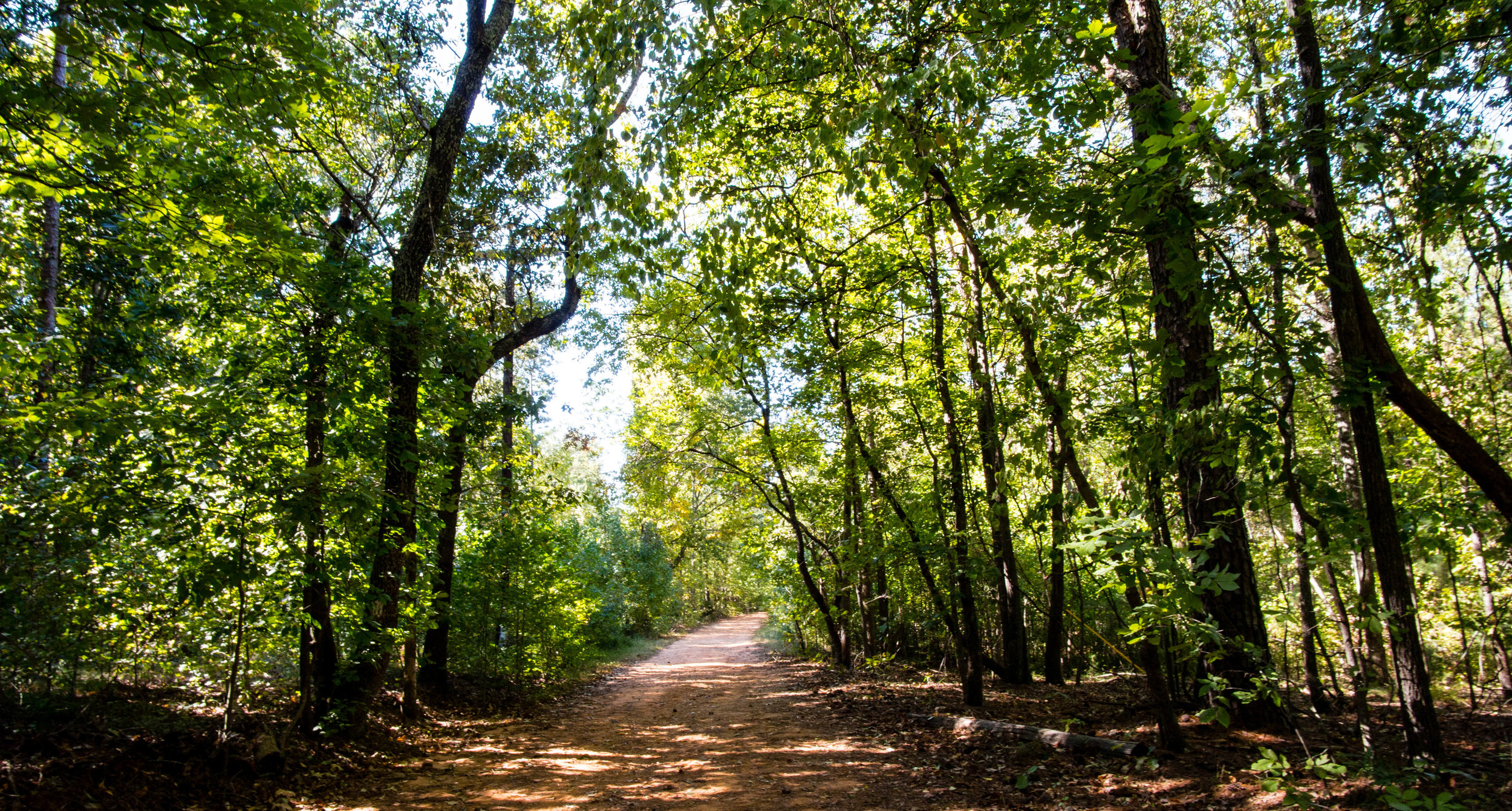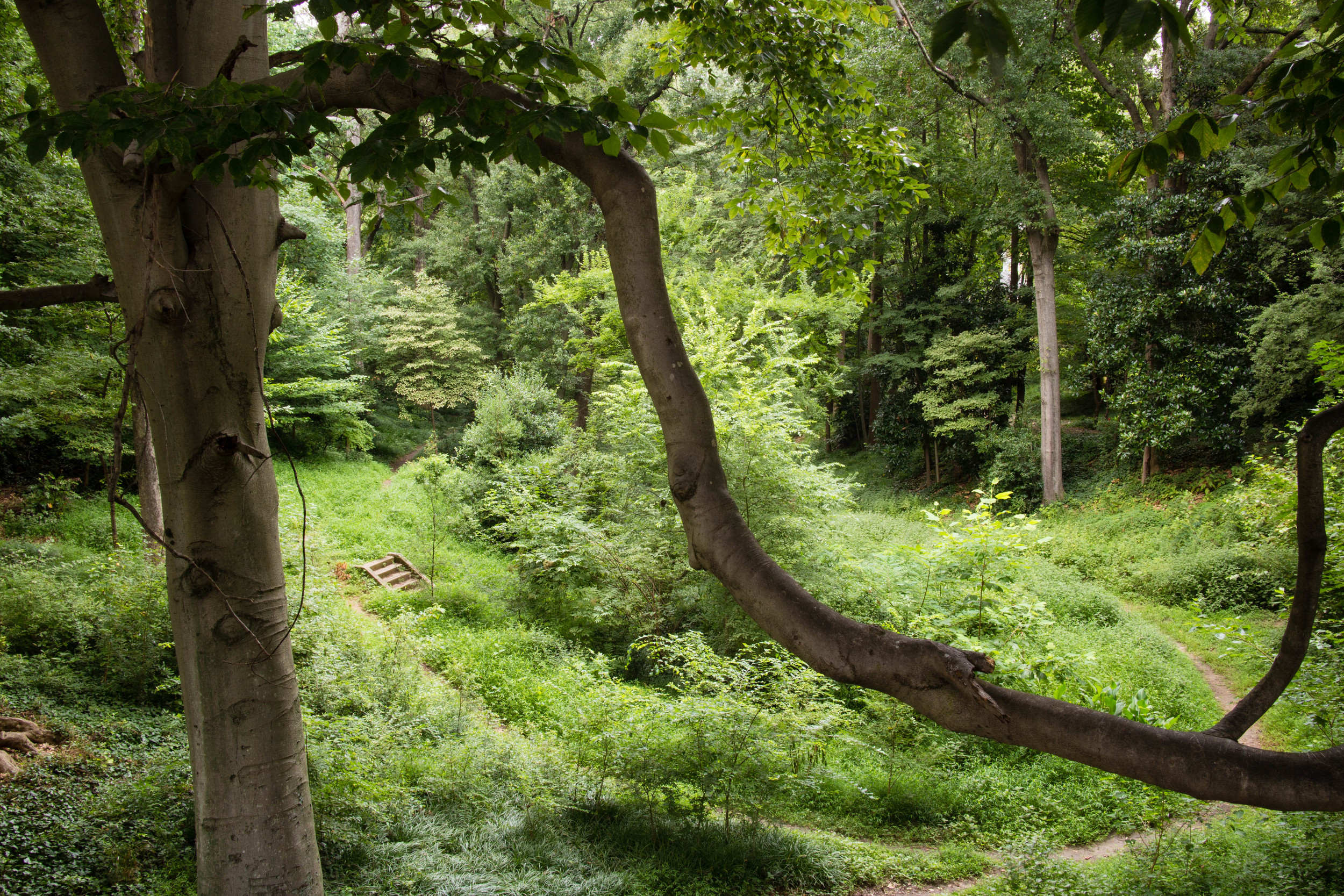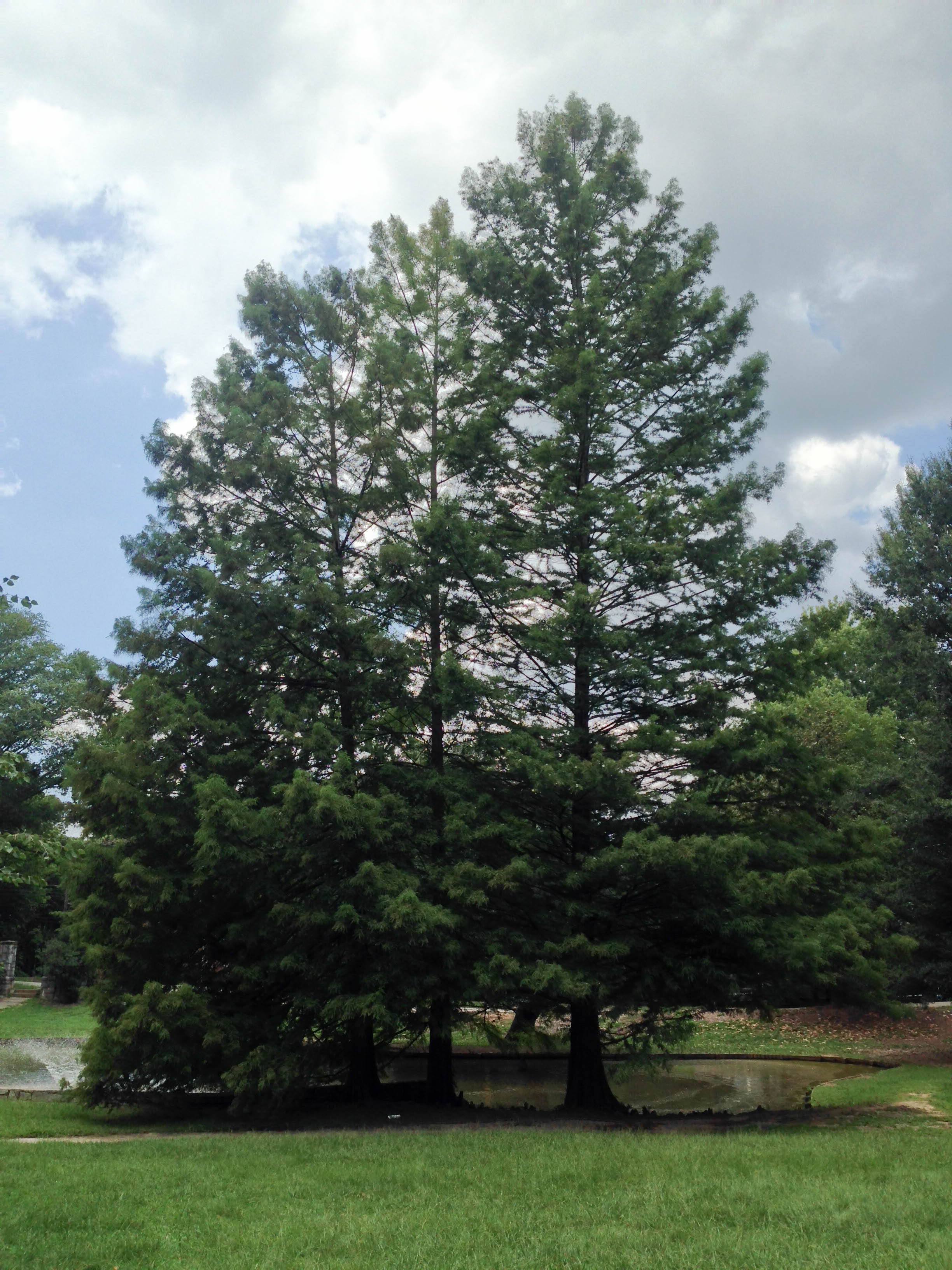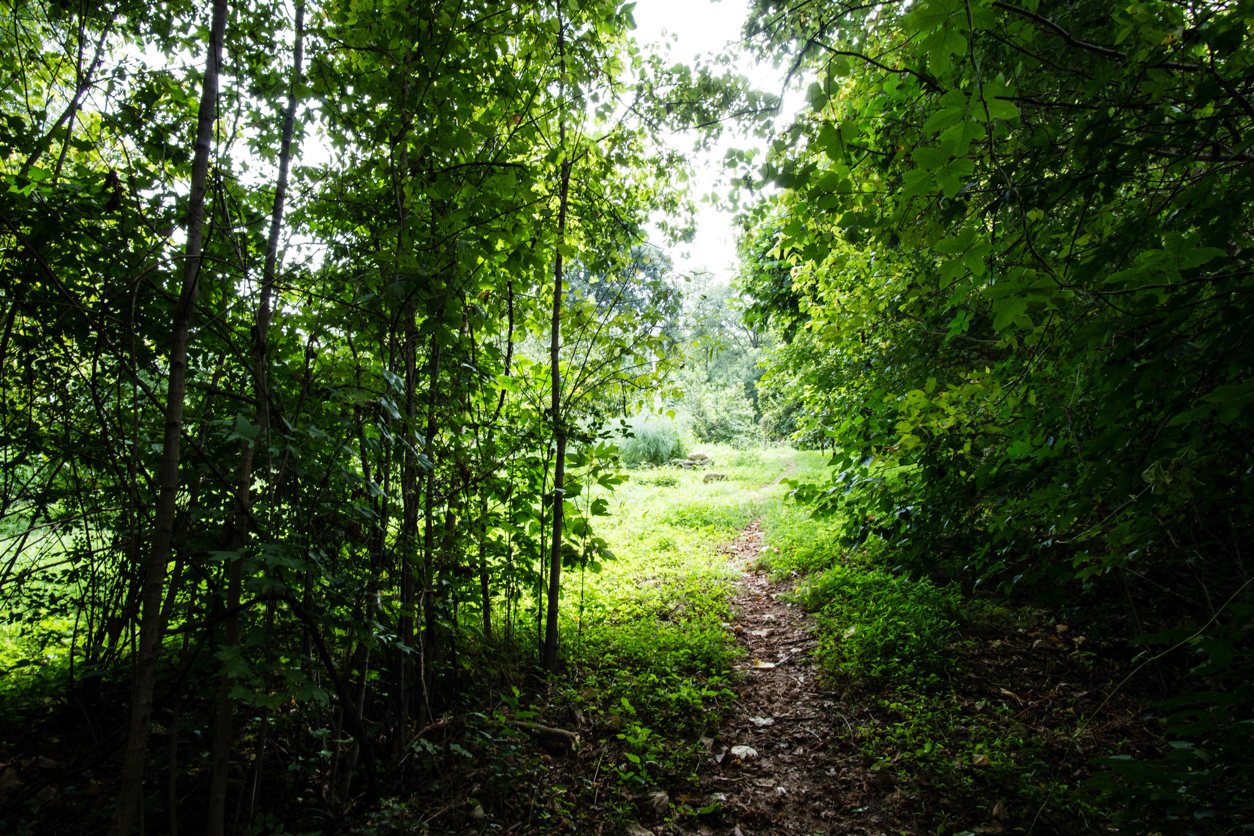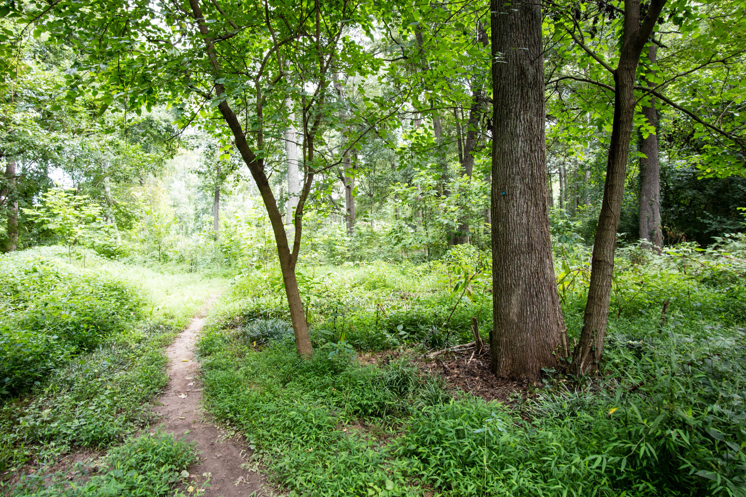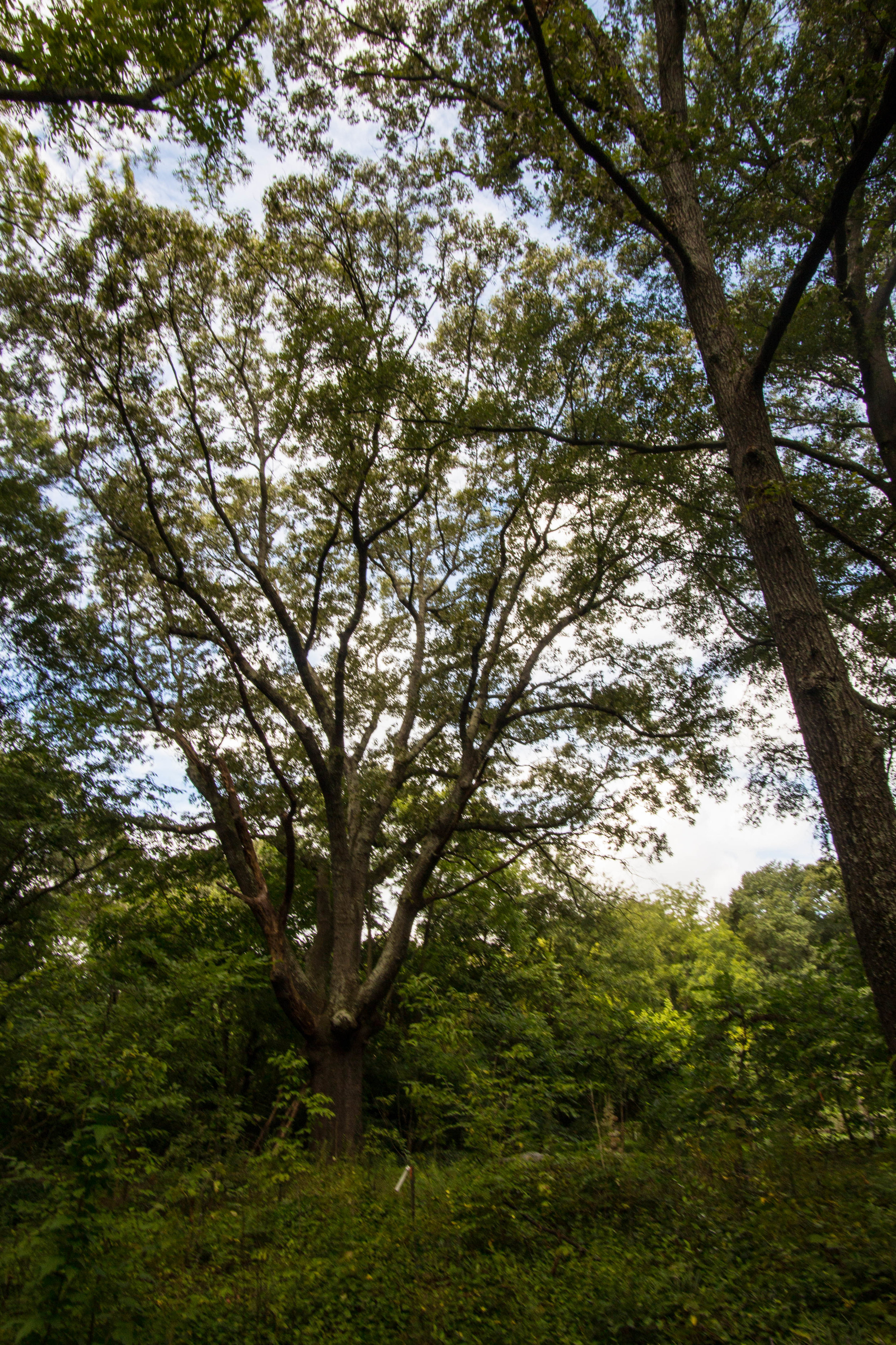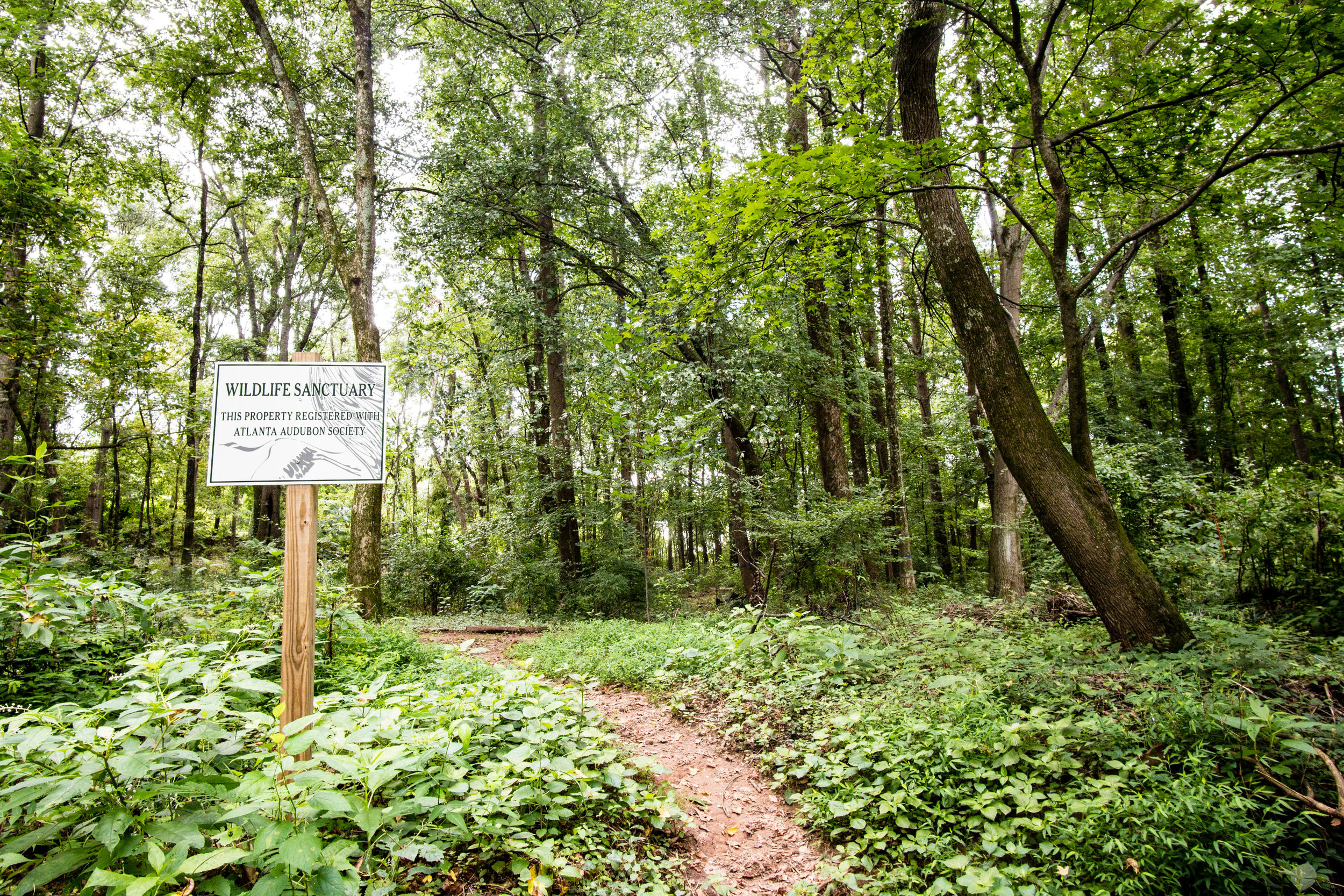
John Ripley Forbes Big Trees Forest Preserve
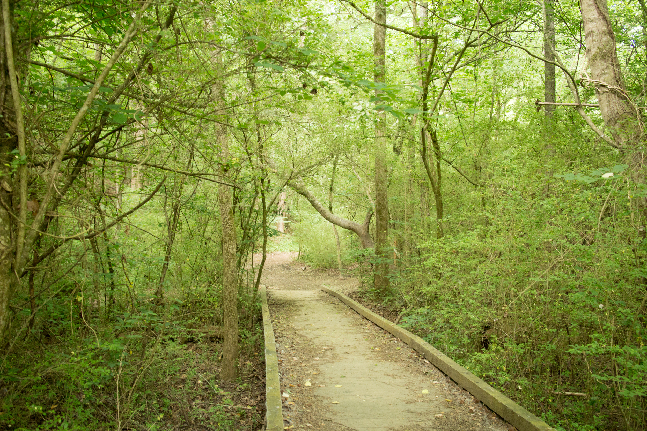
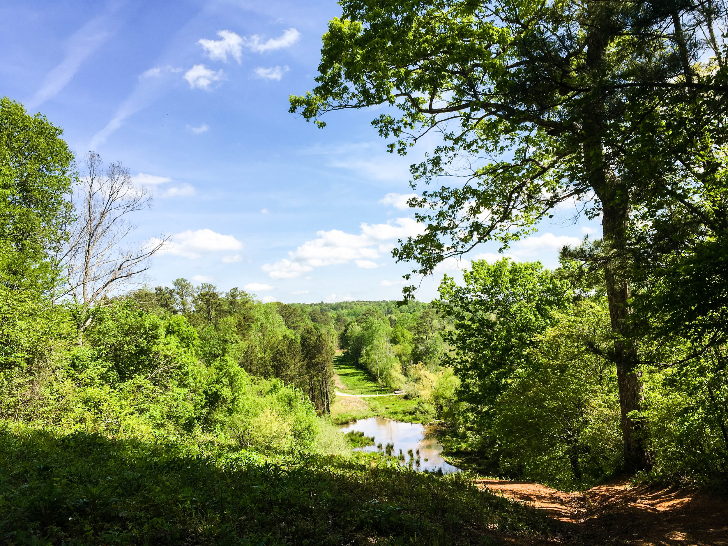
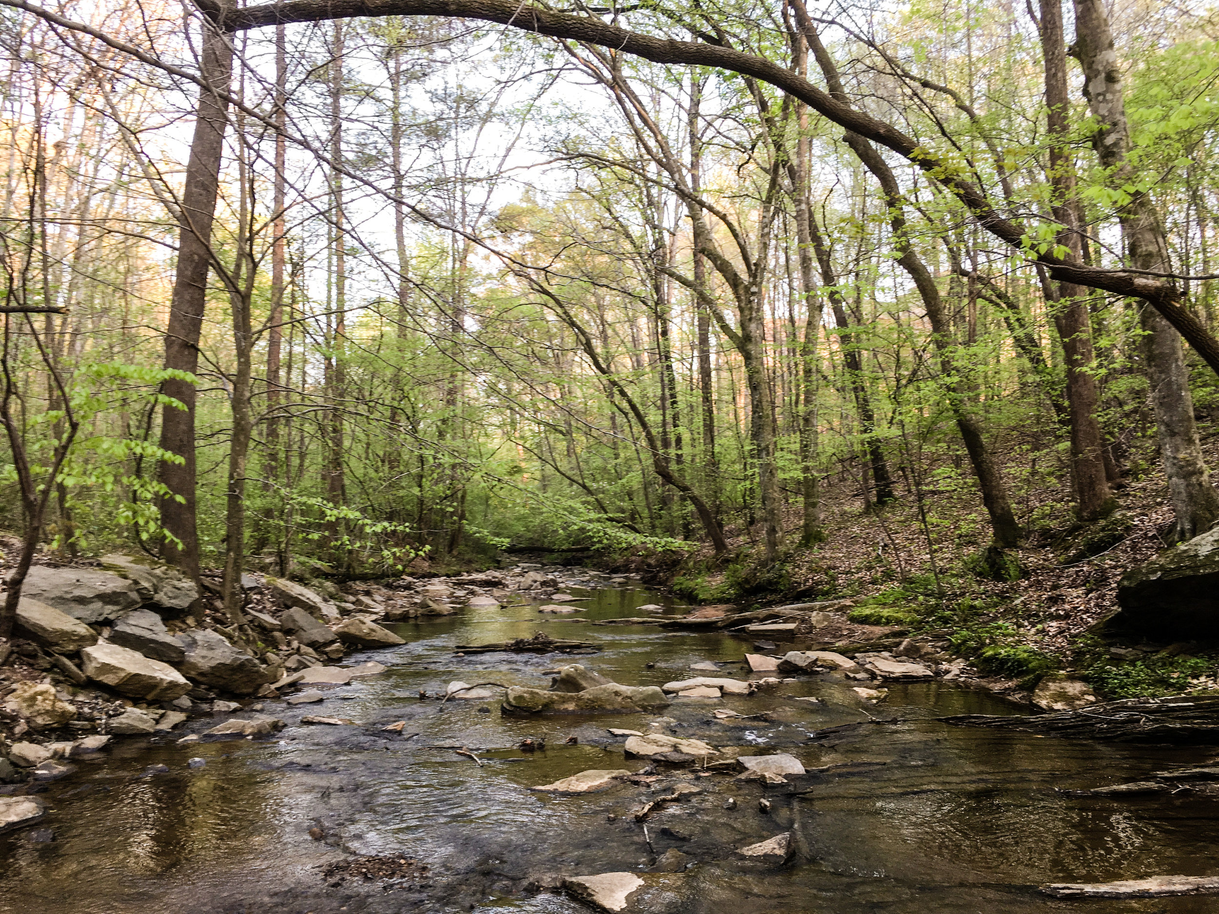
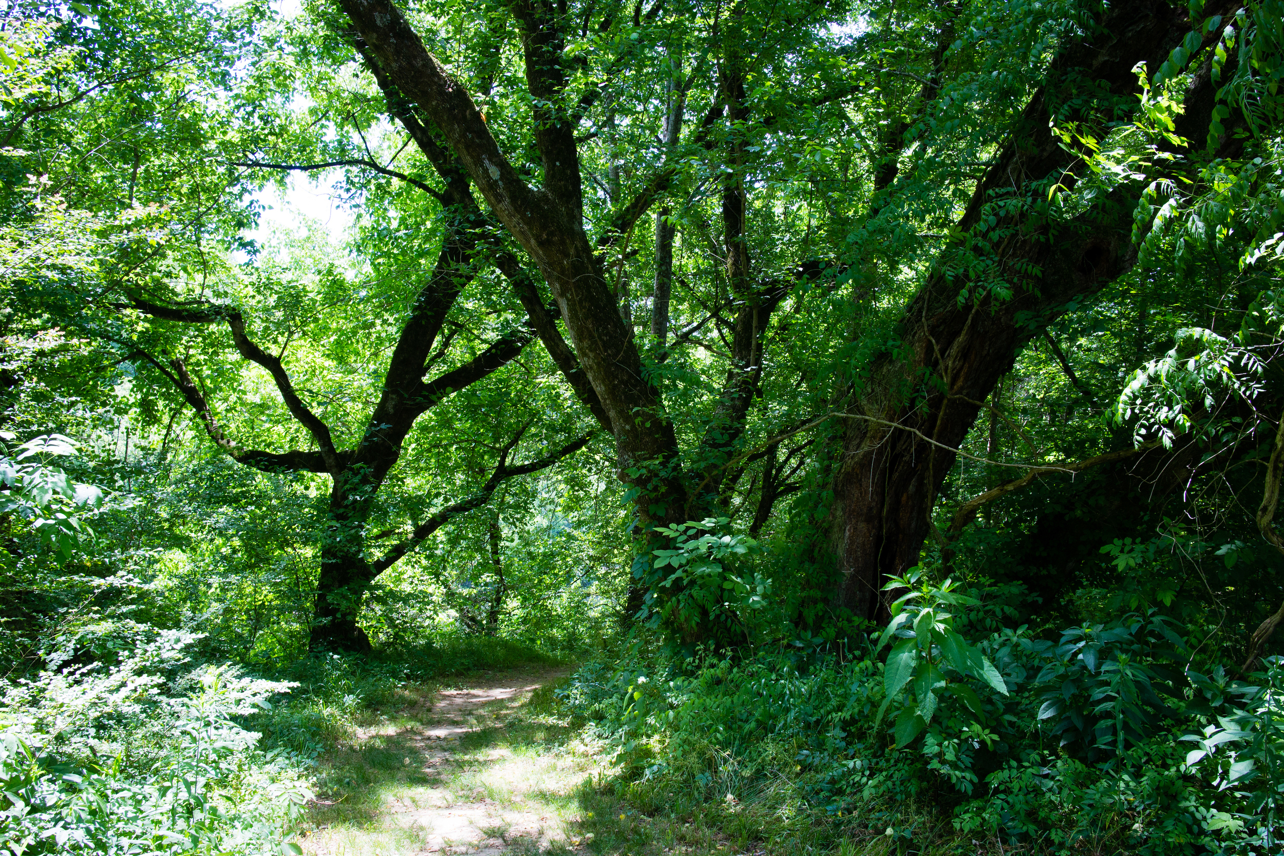
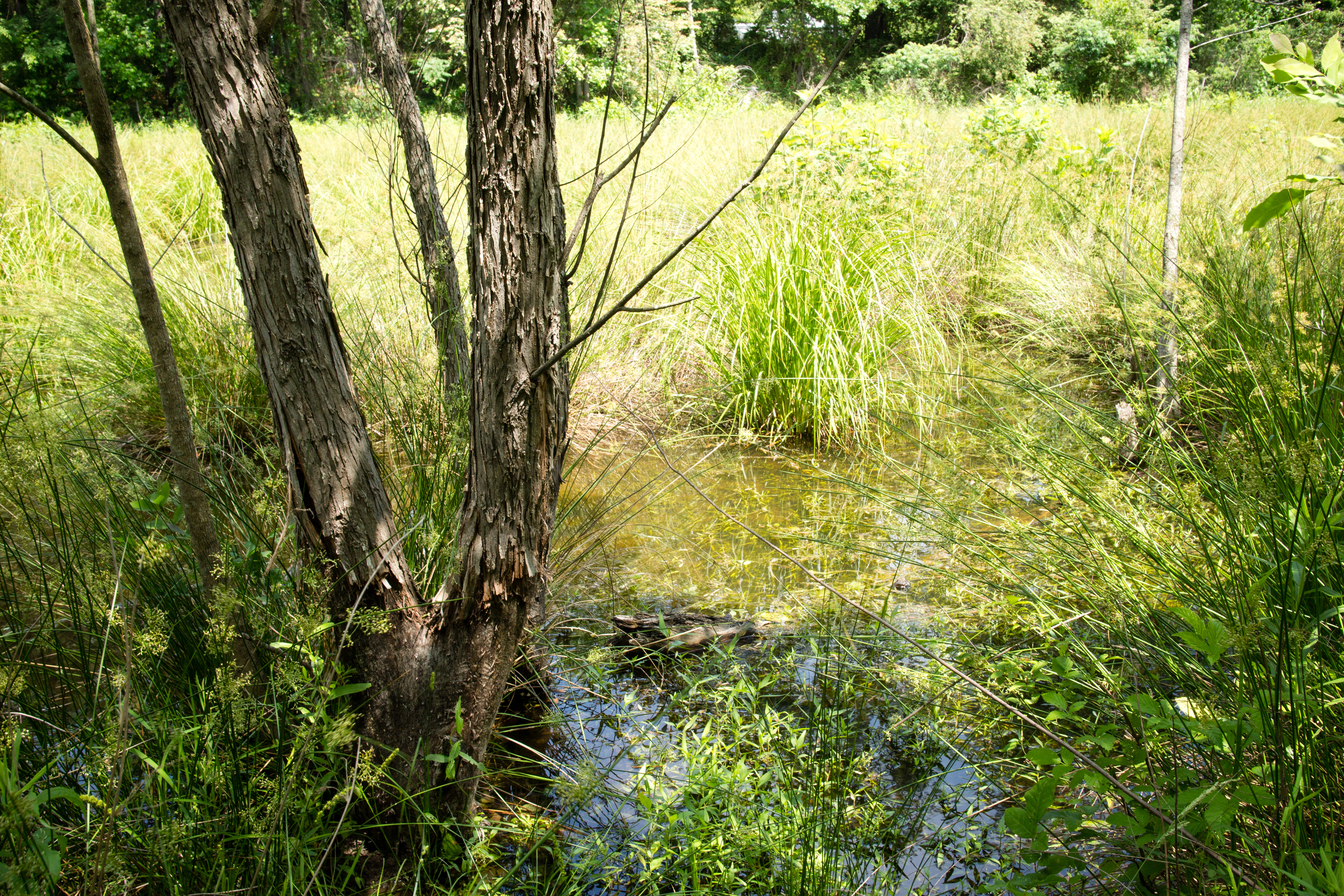
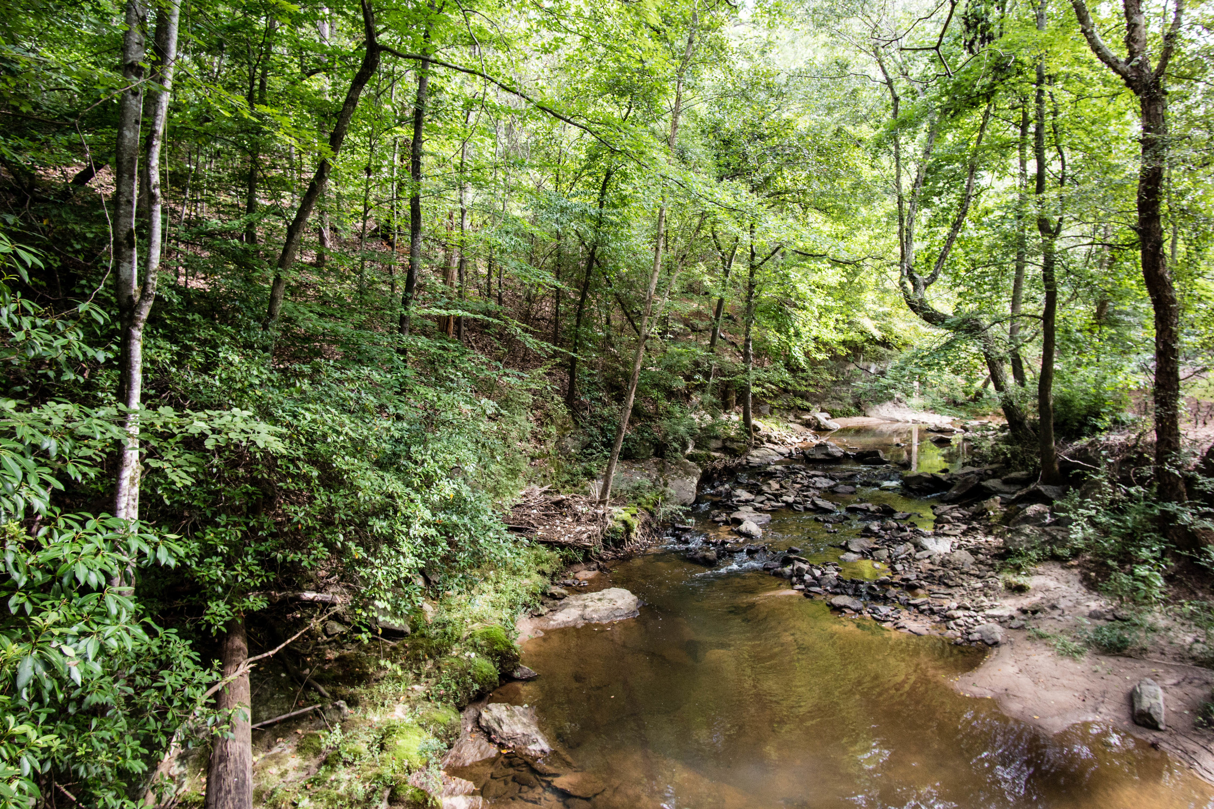
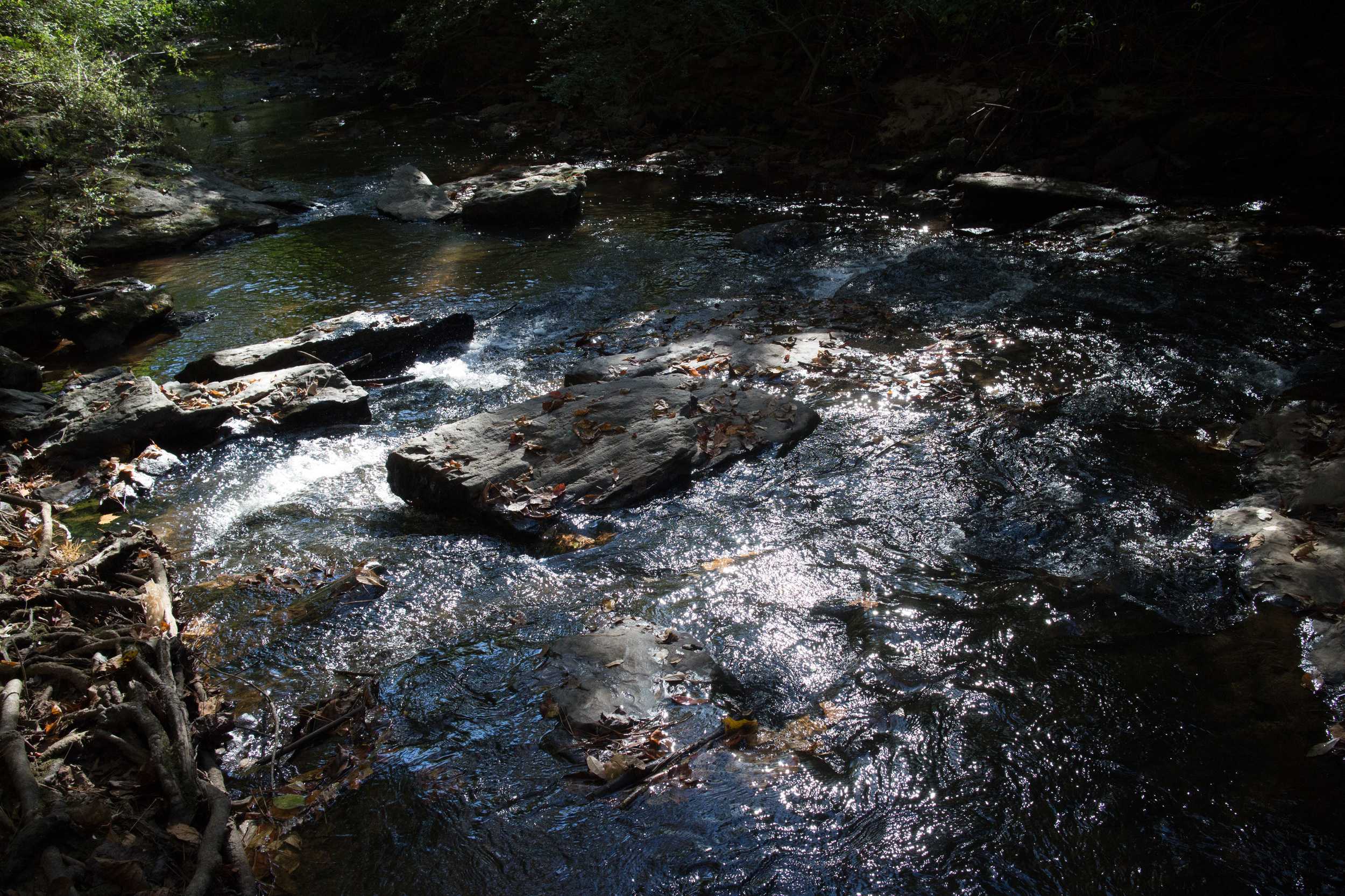
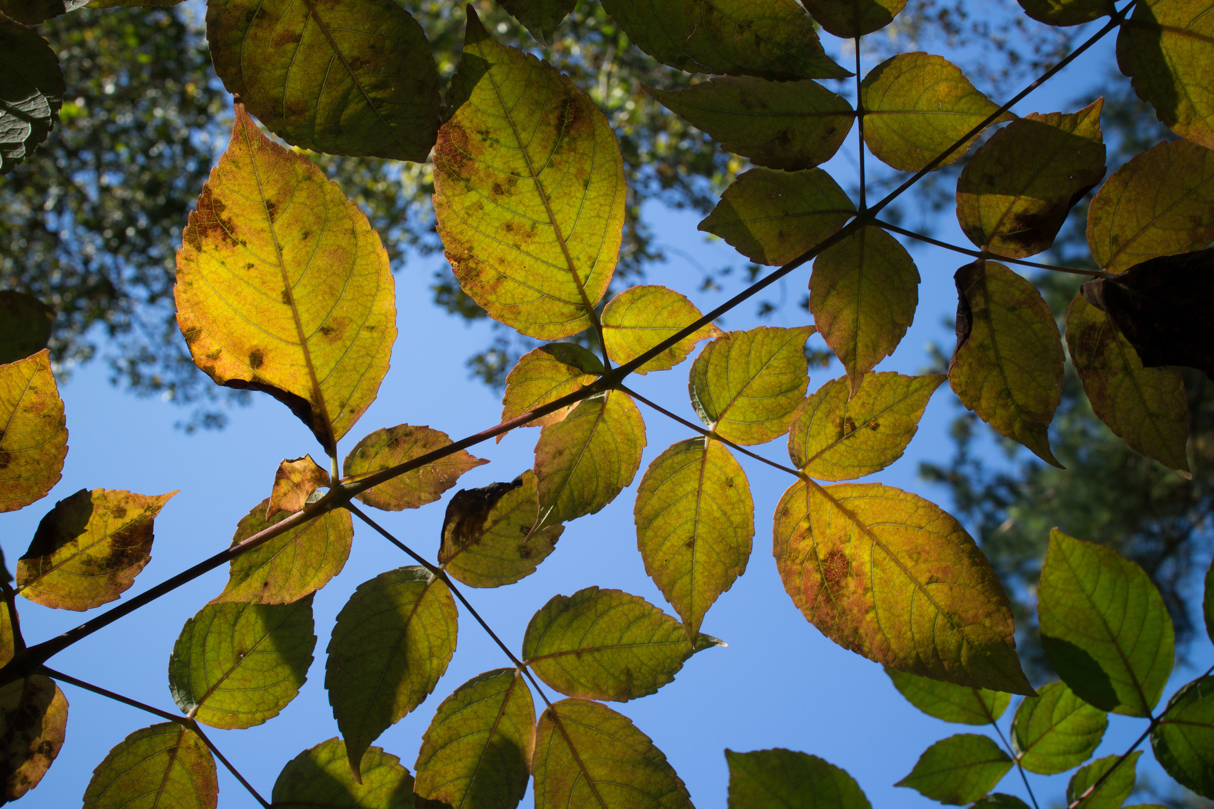
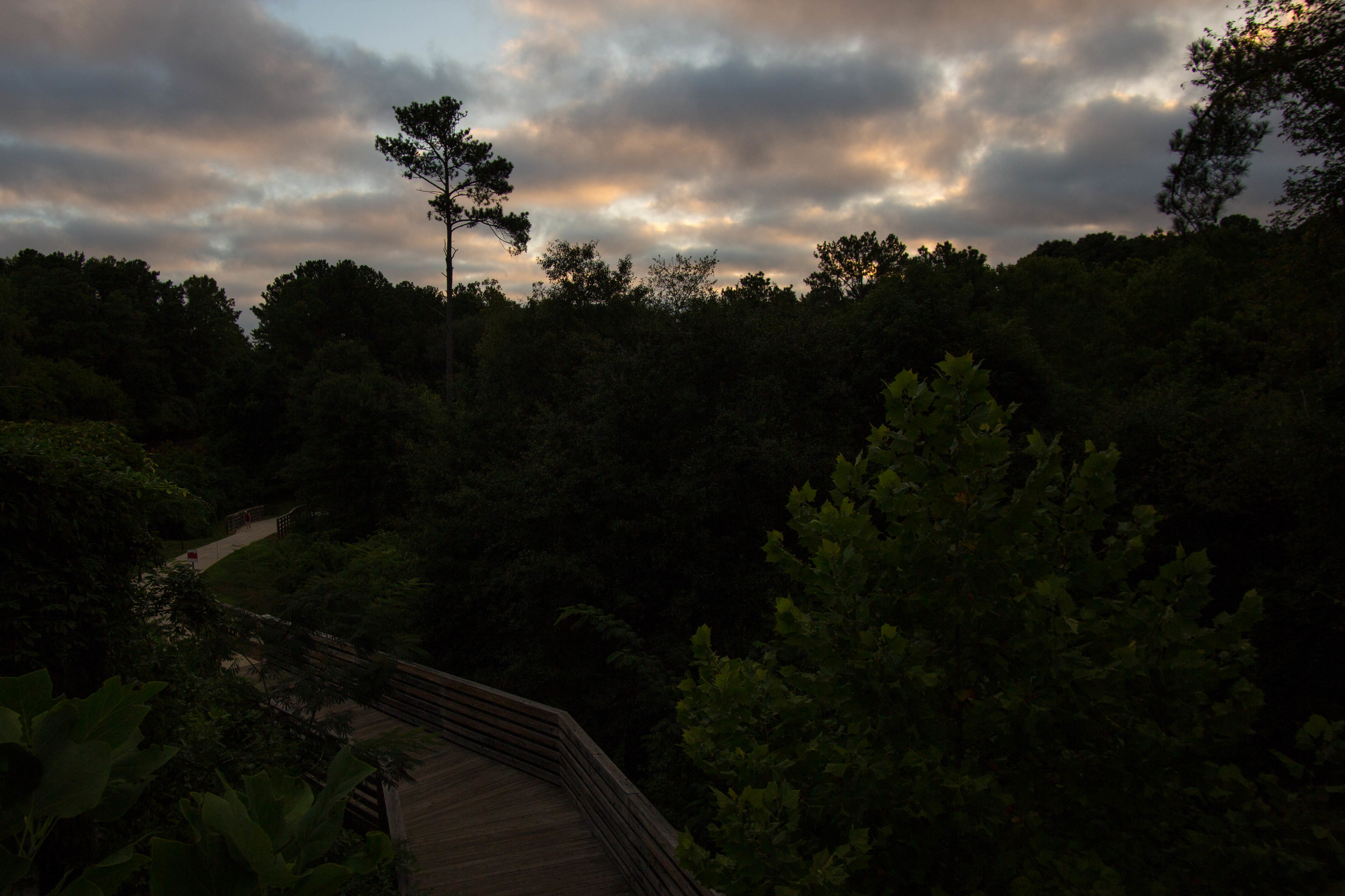
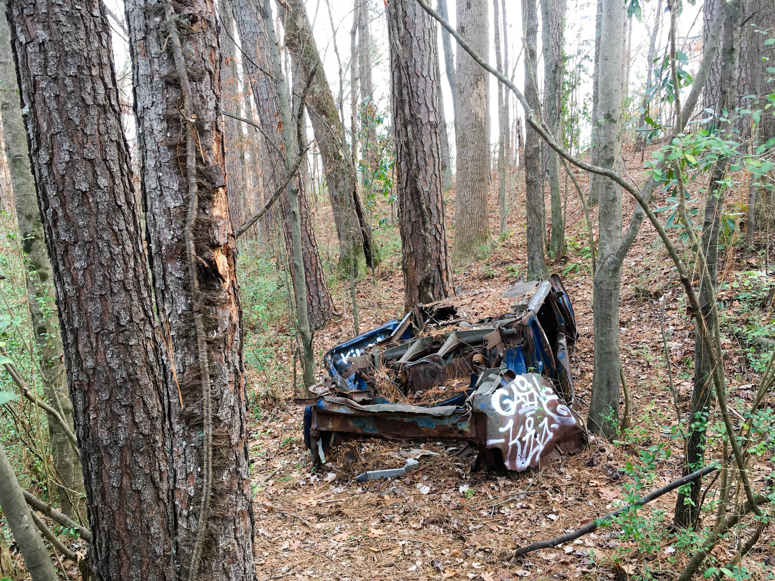
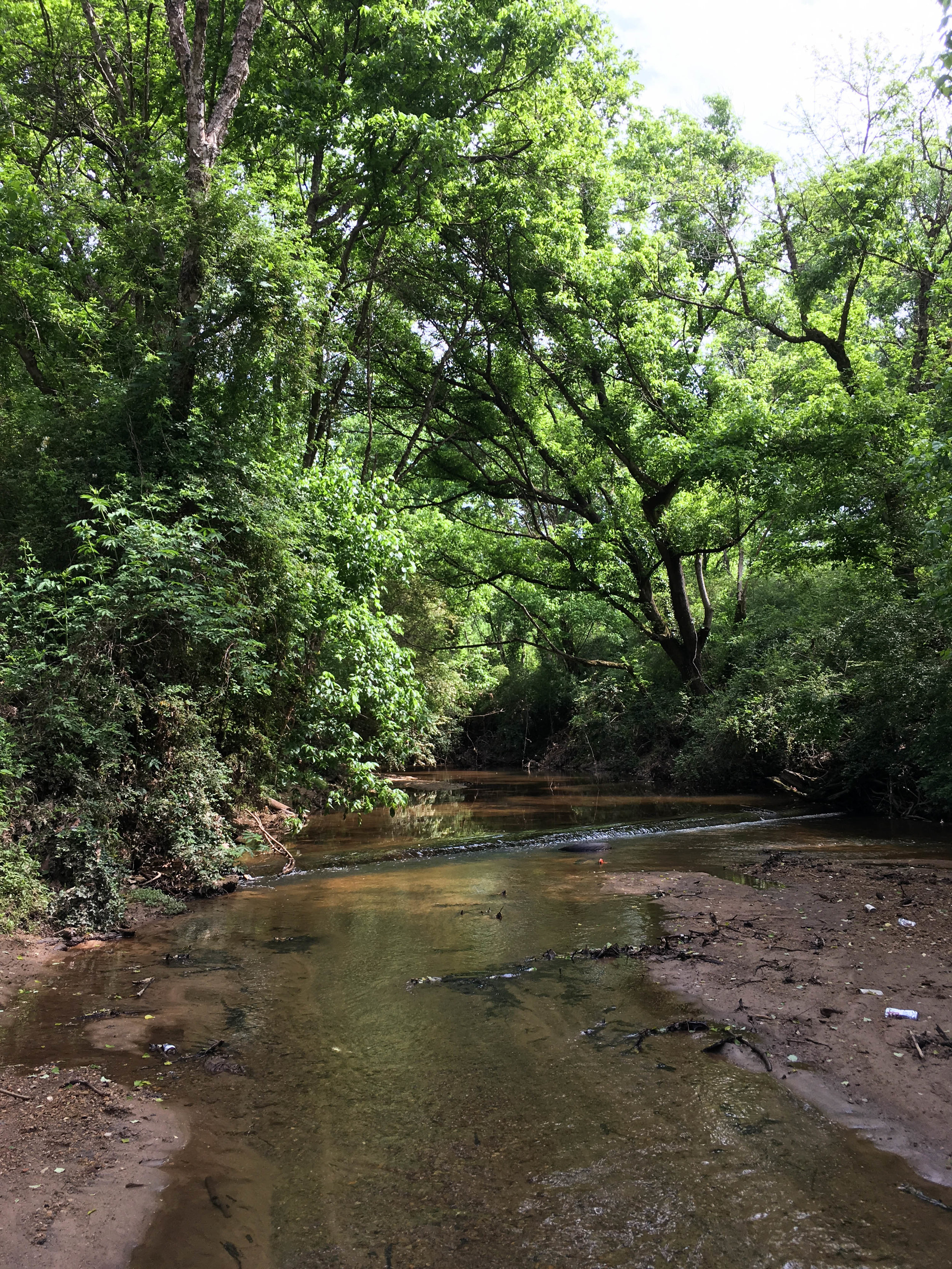
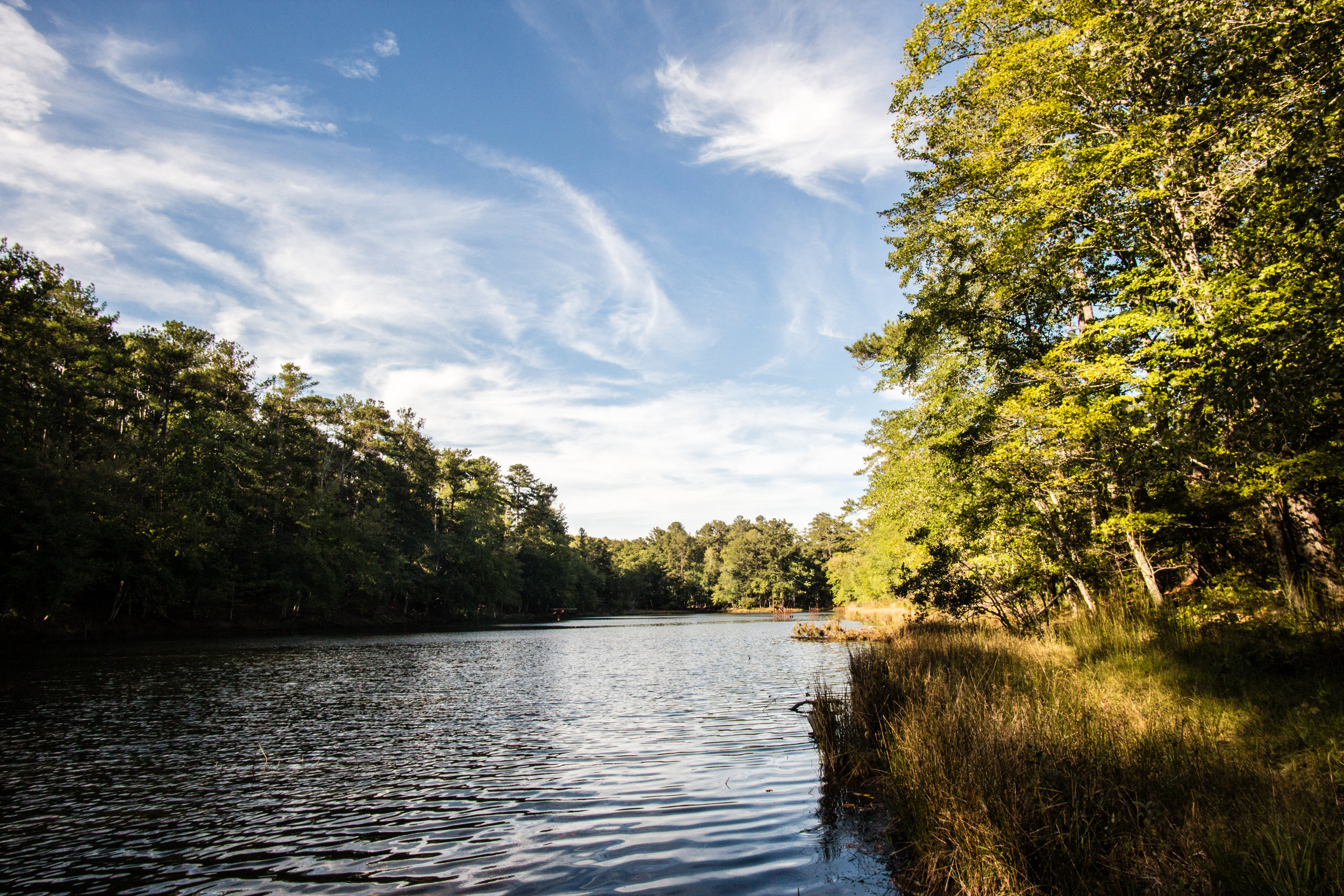
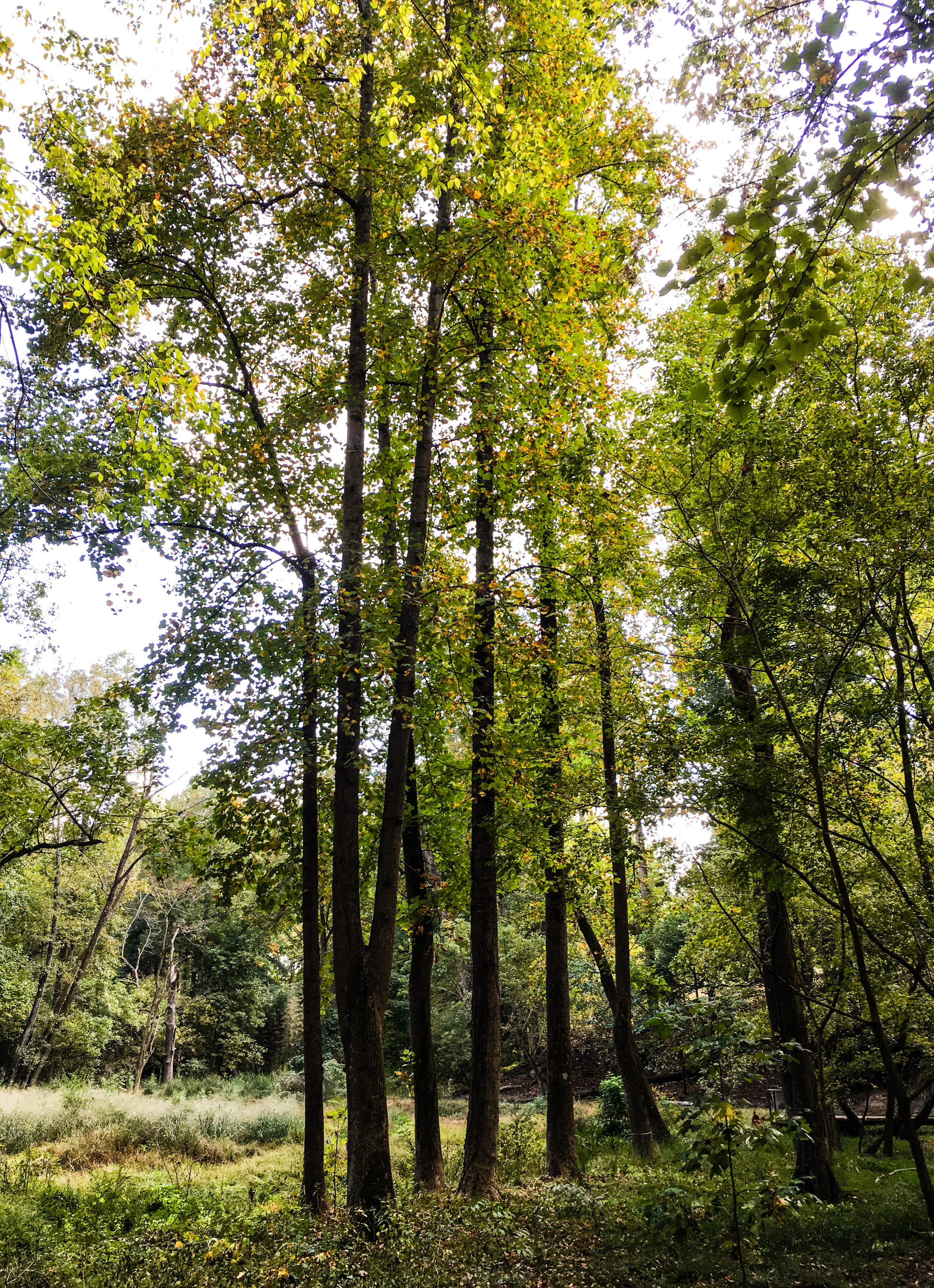
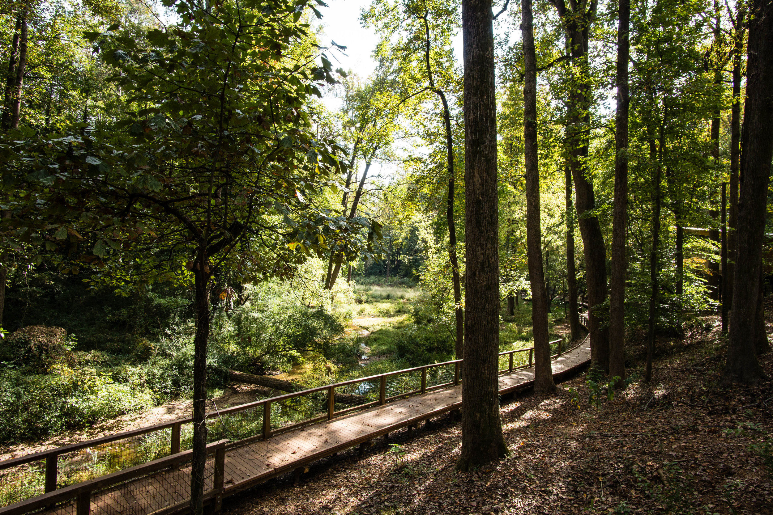
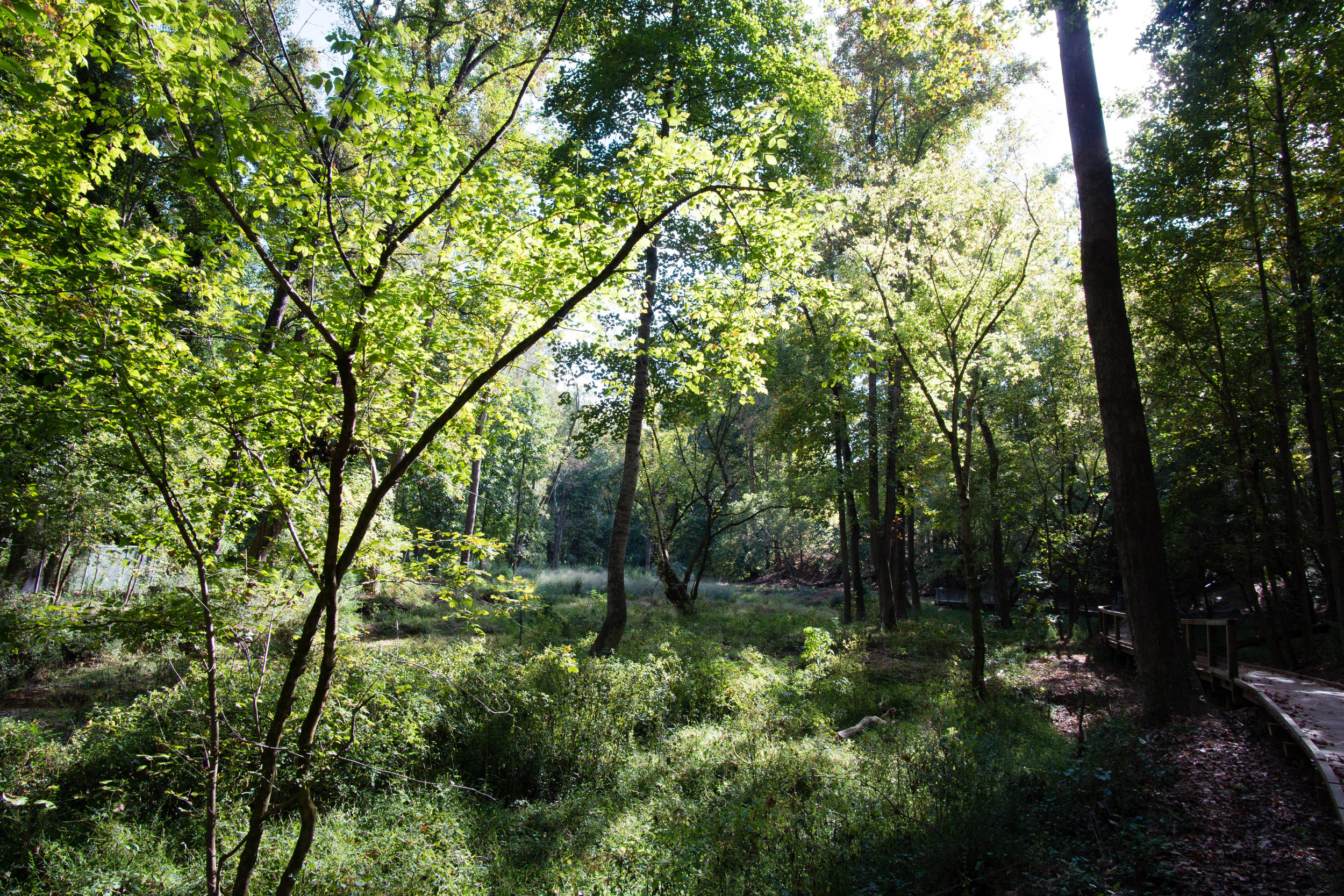
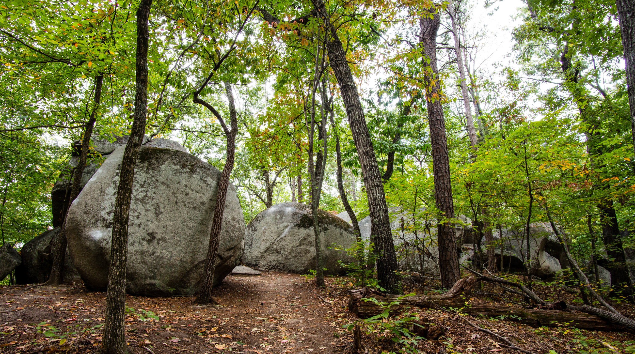
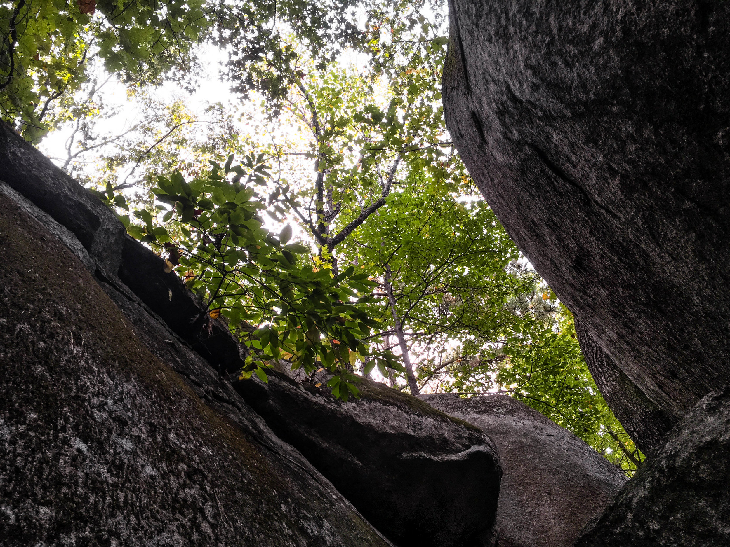
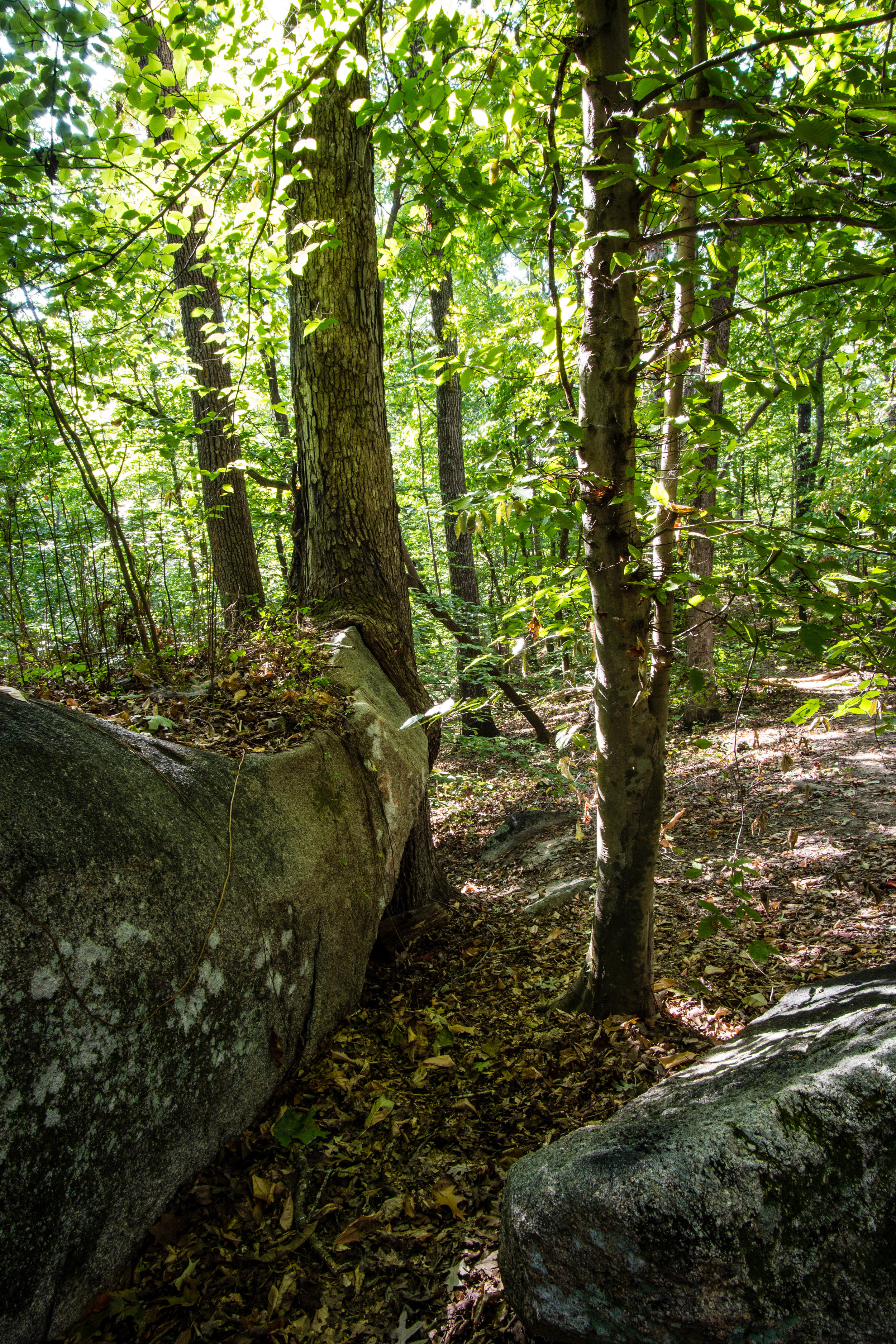
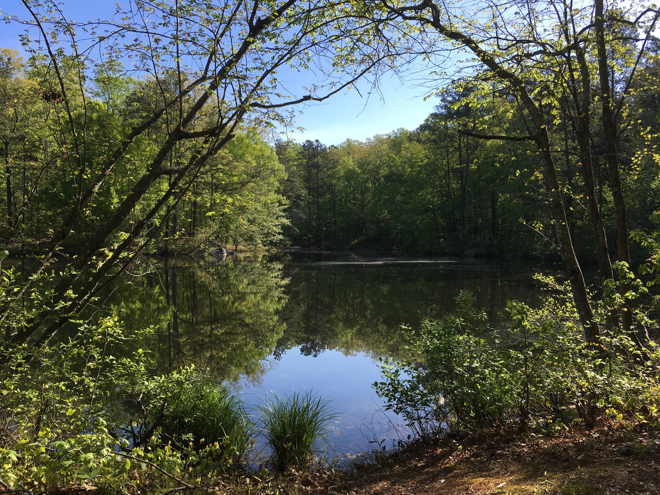
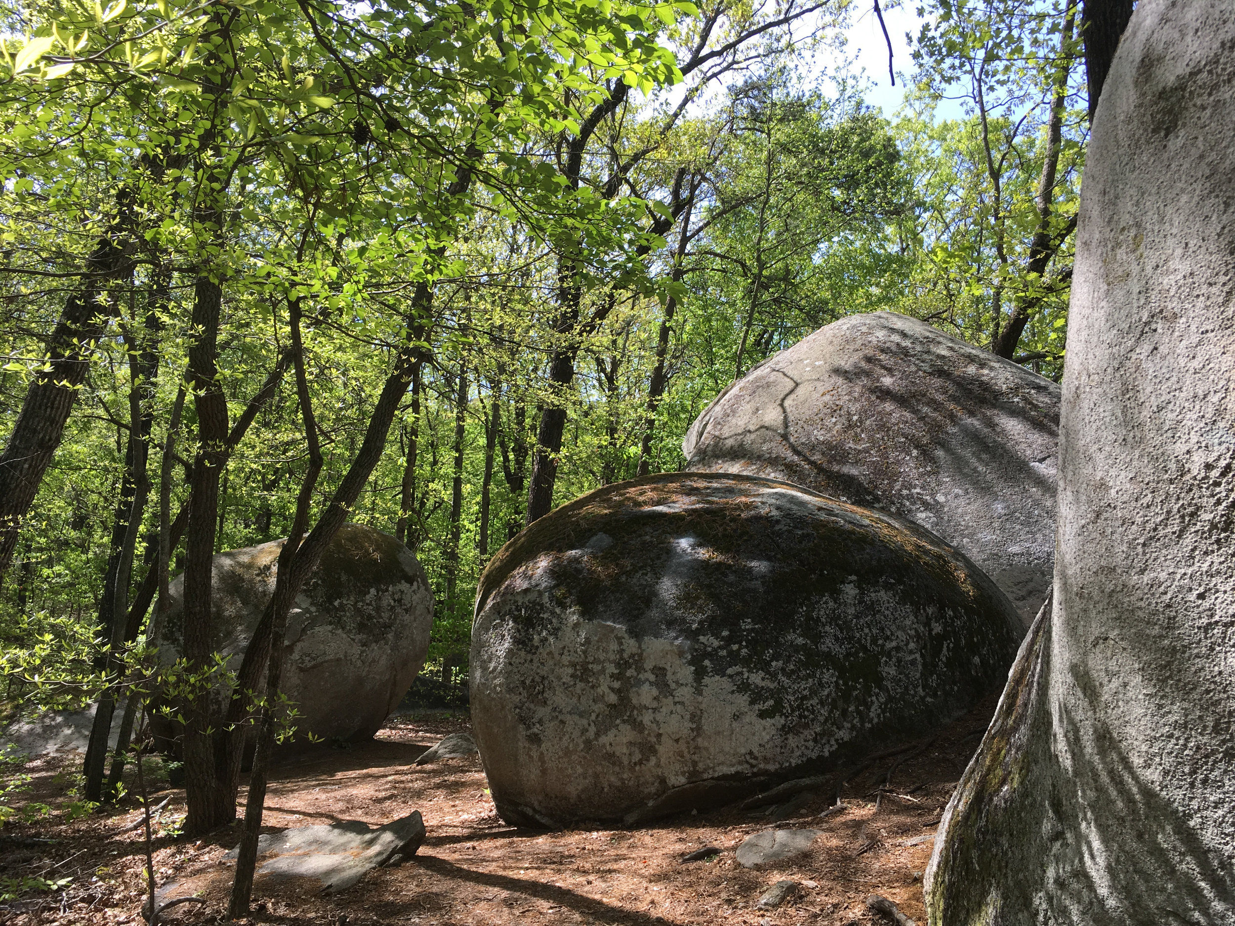
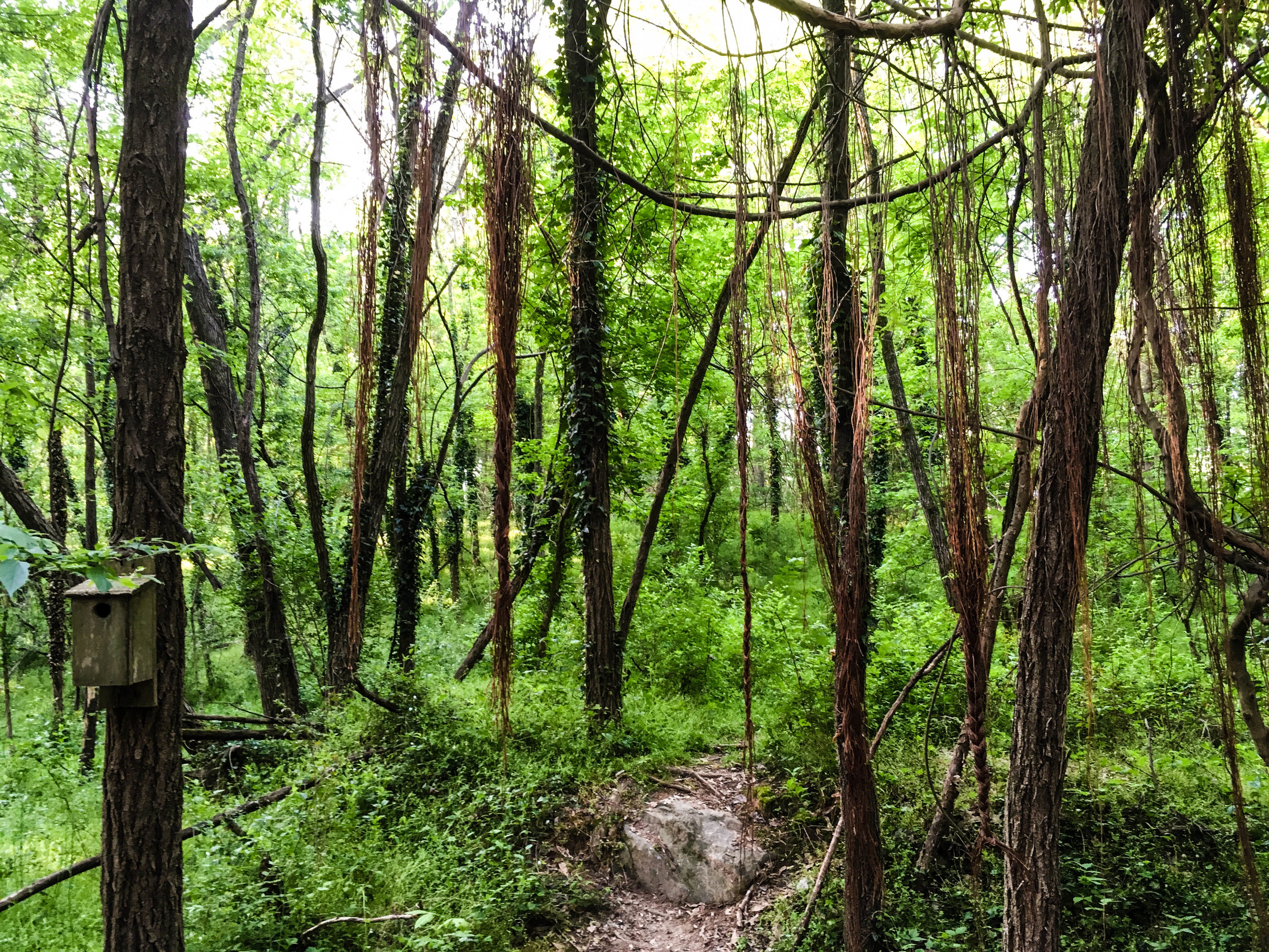
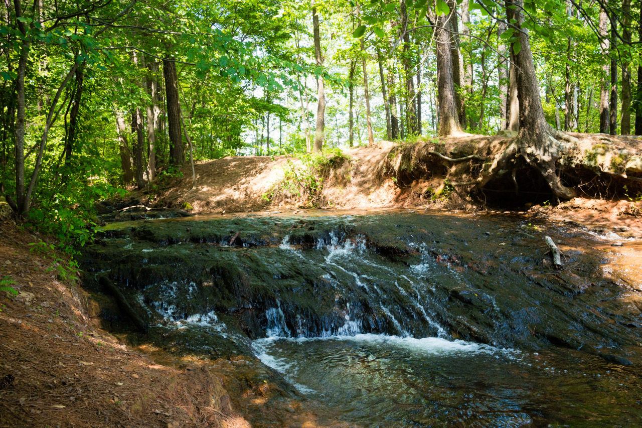
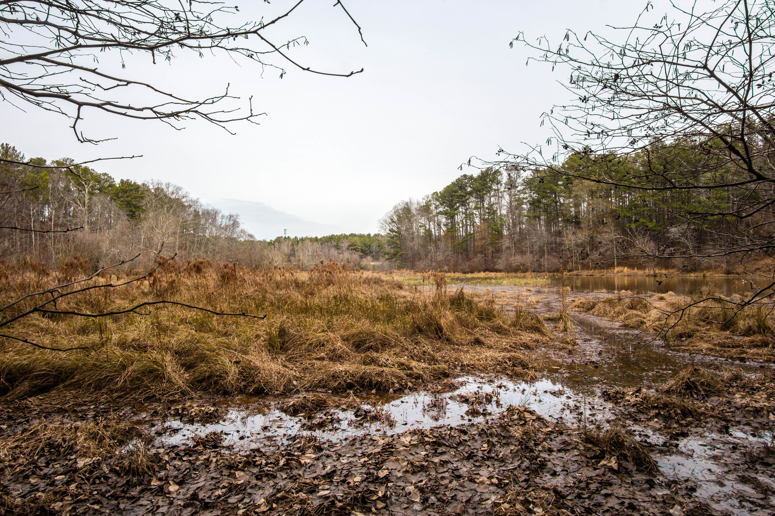
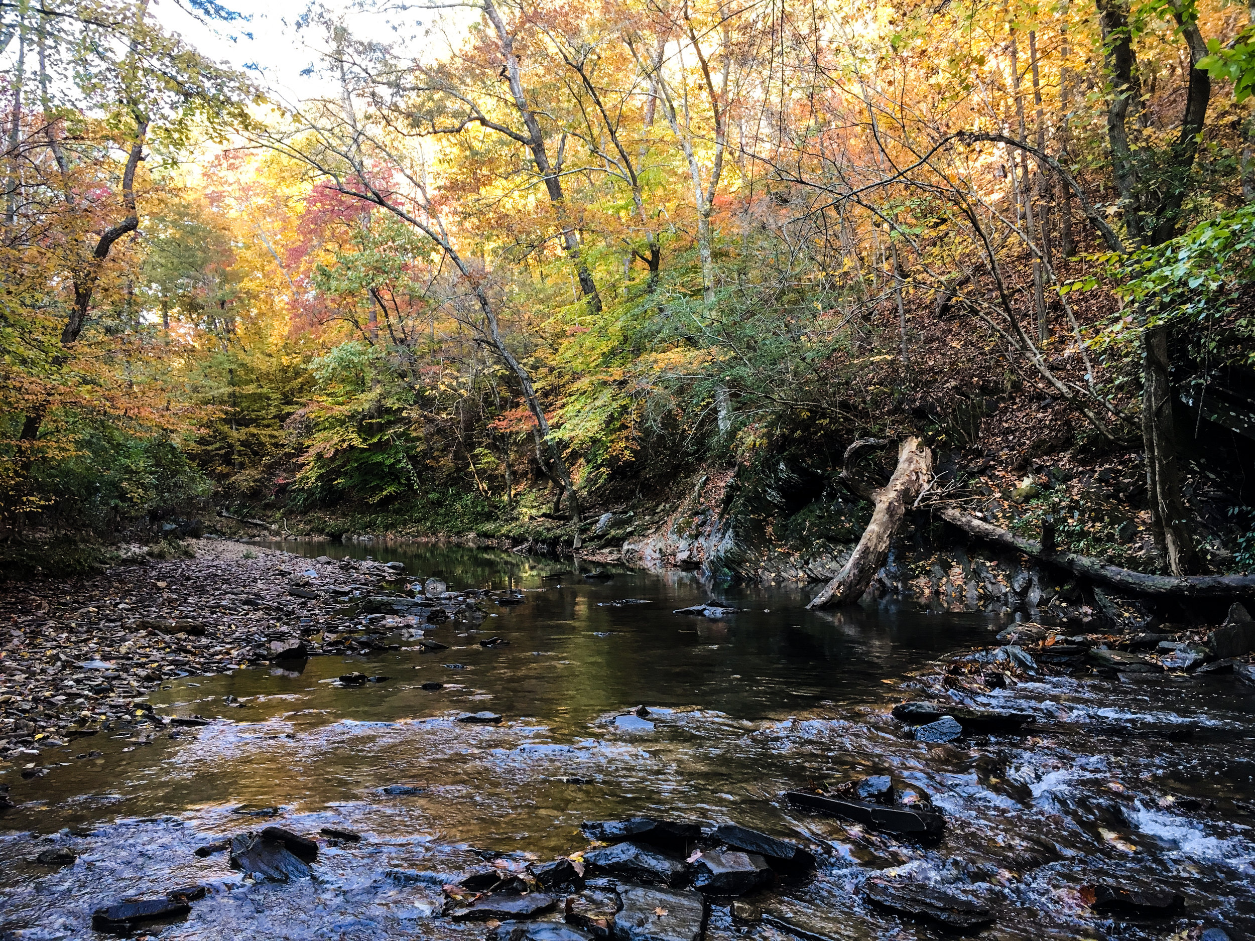
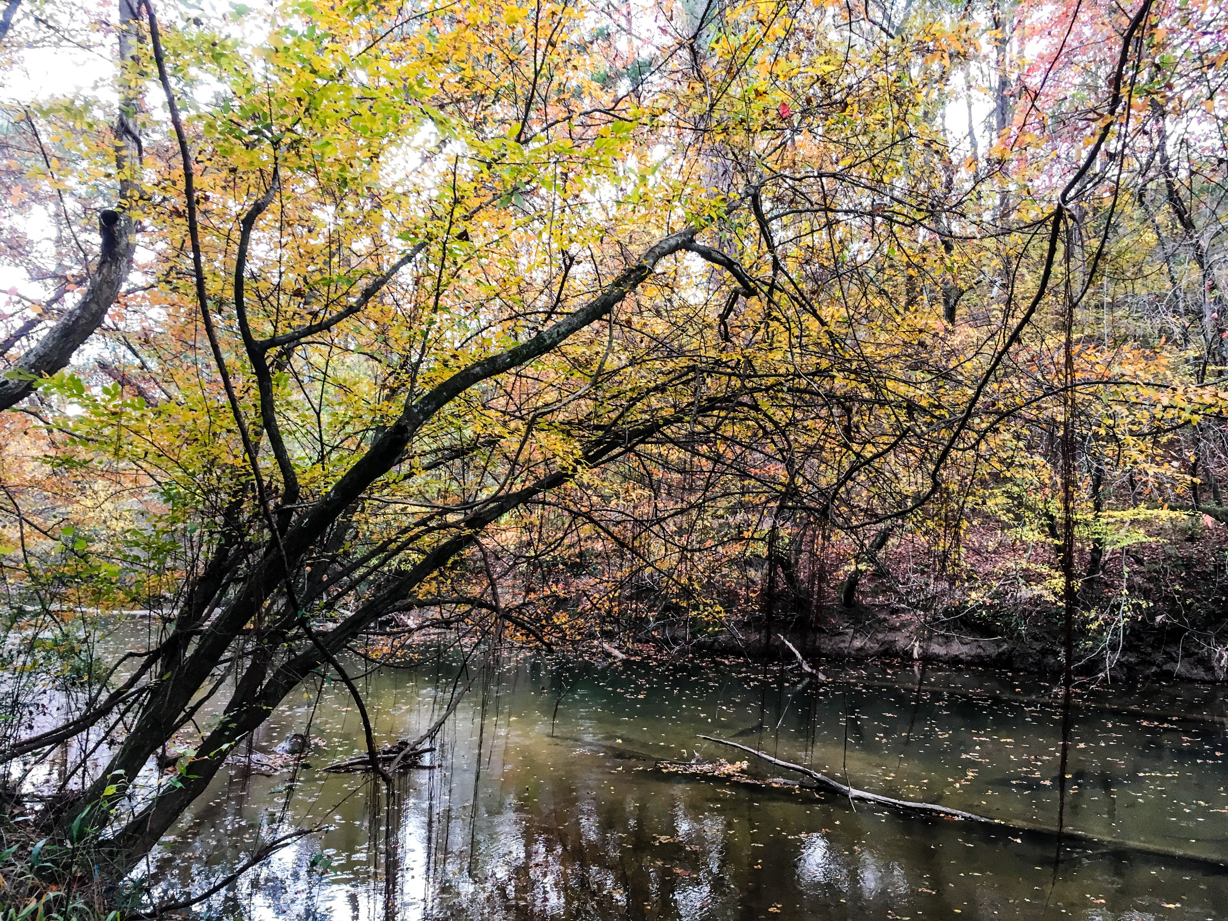
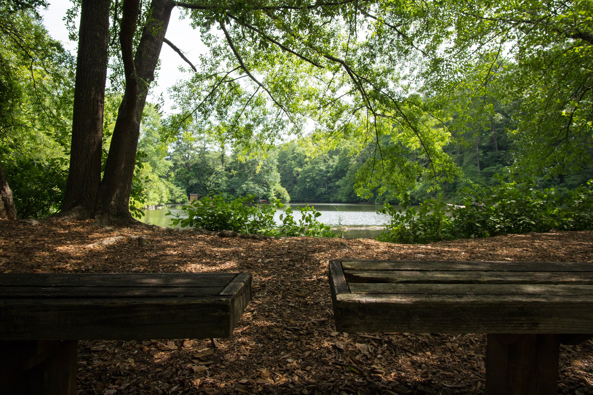
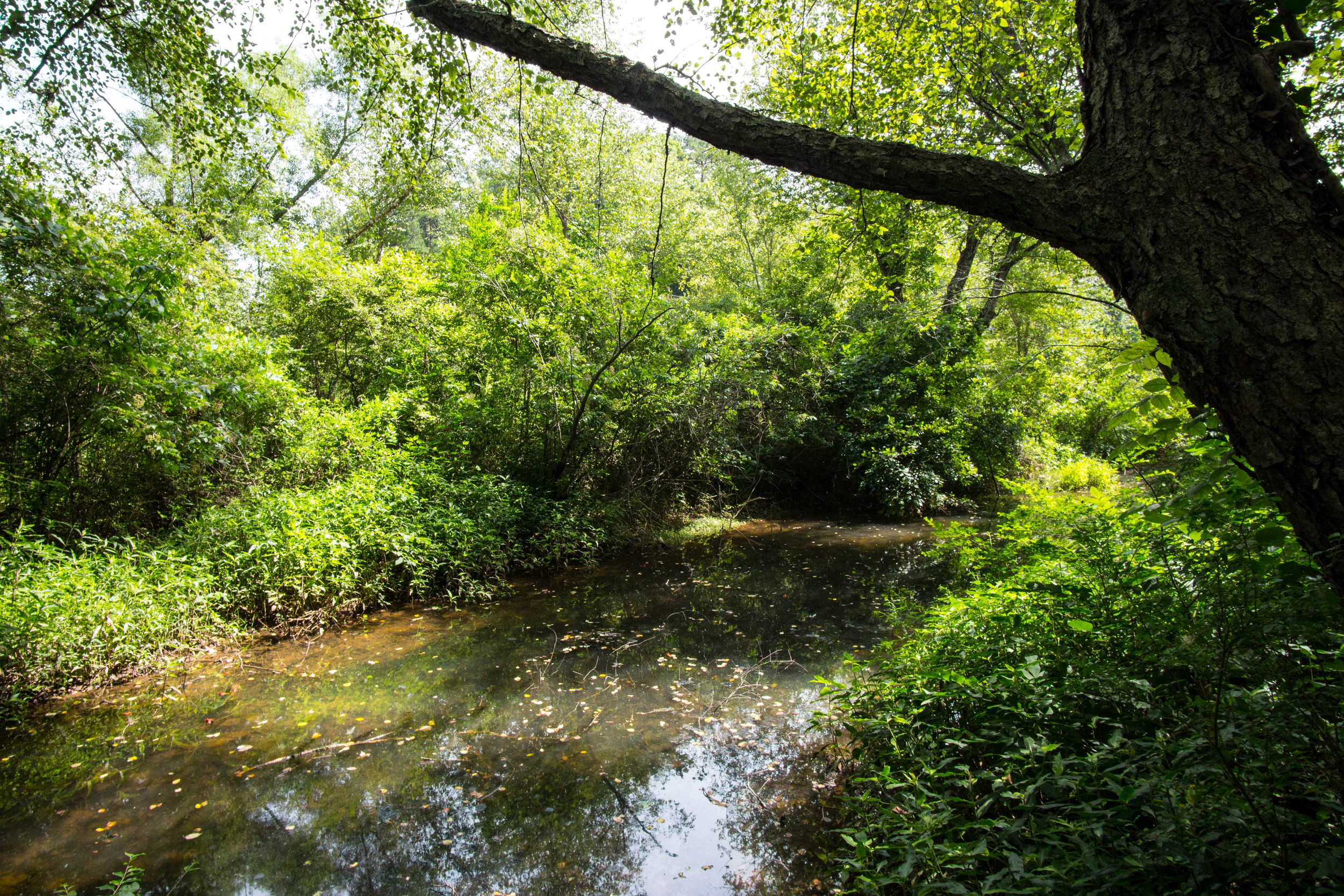
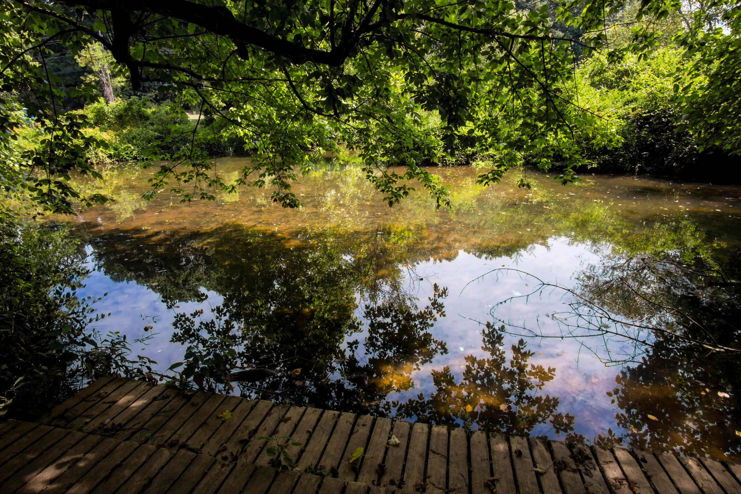
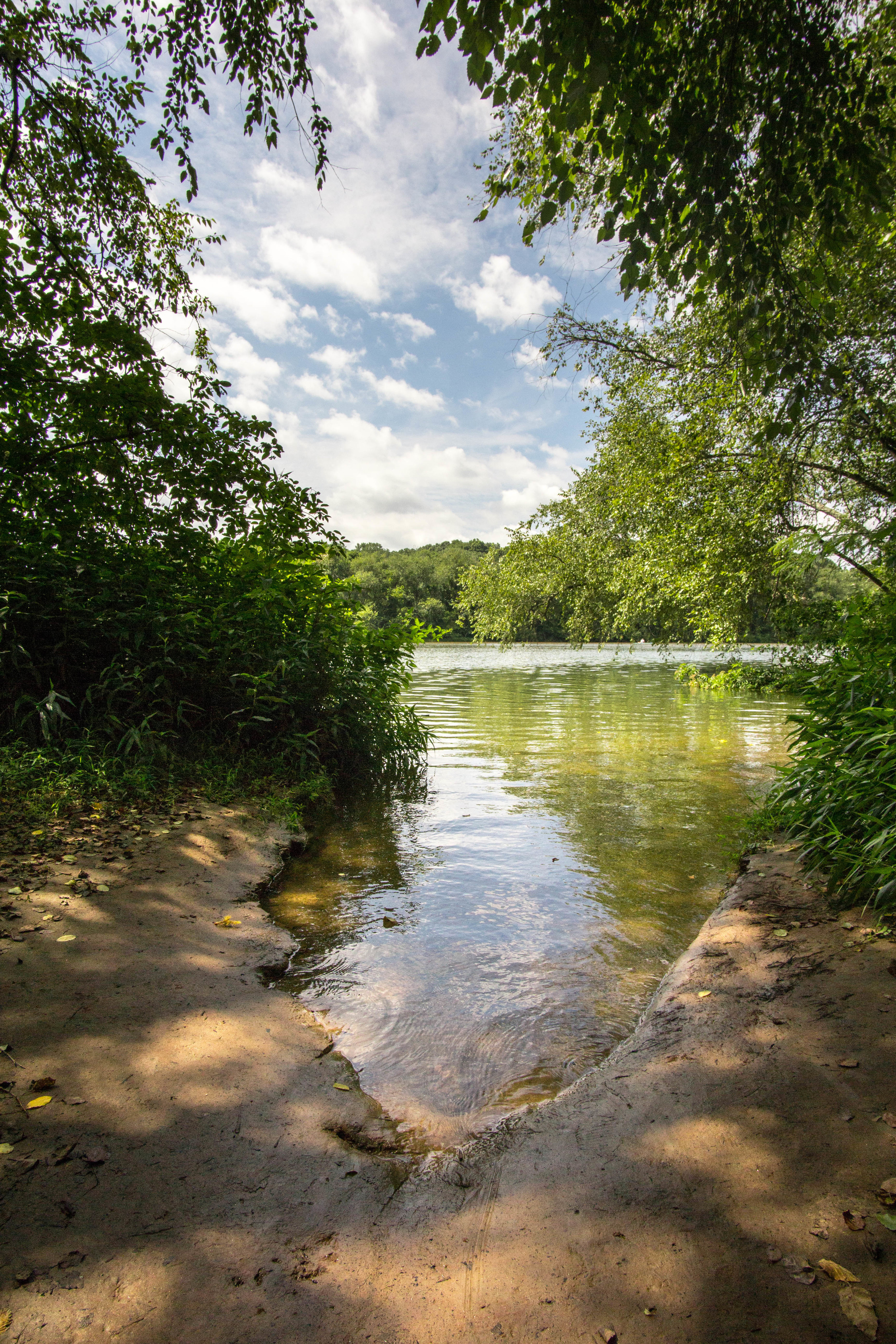
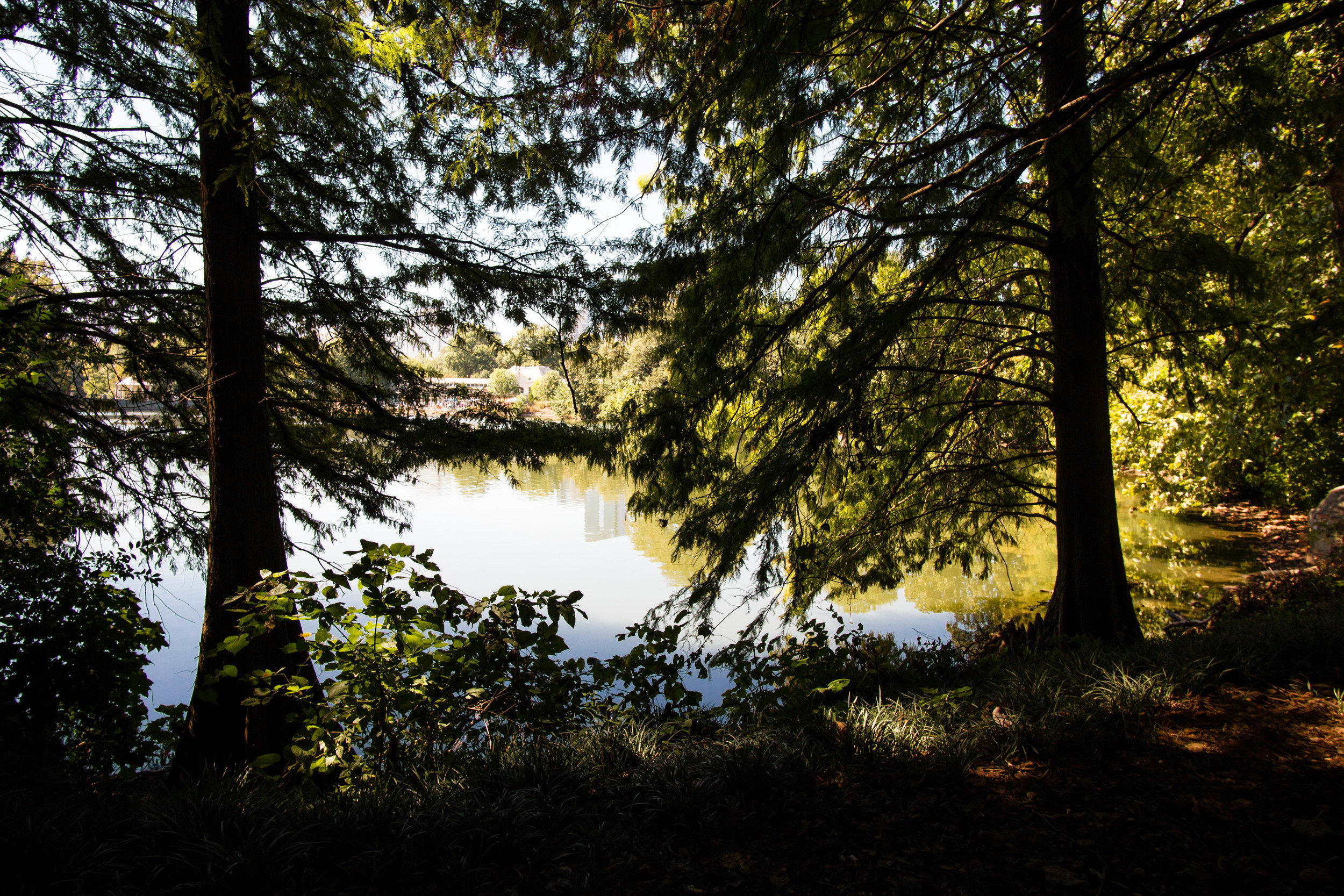
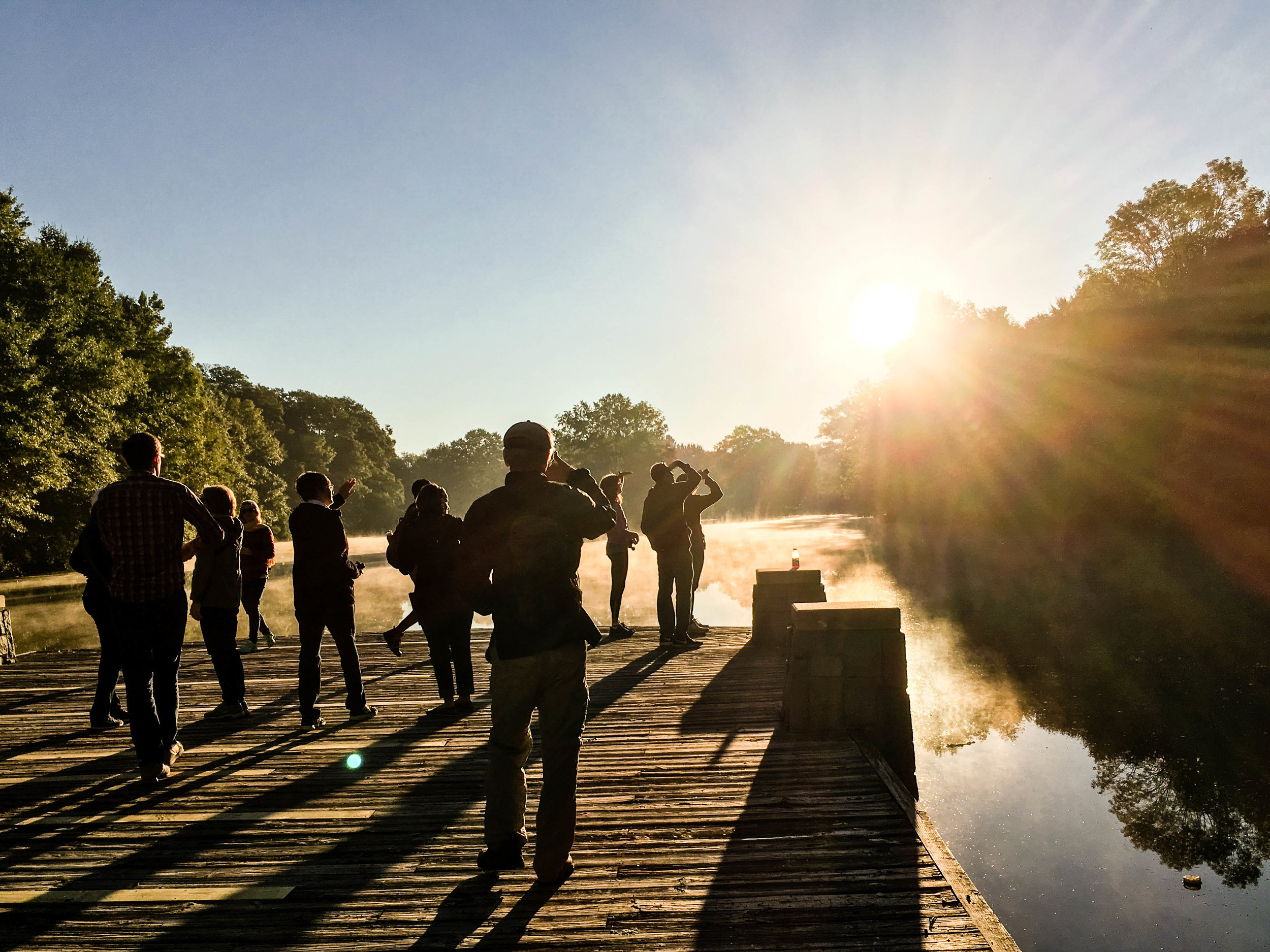
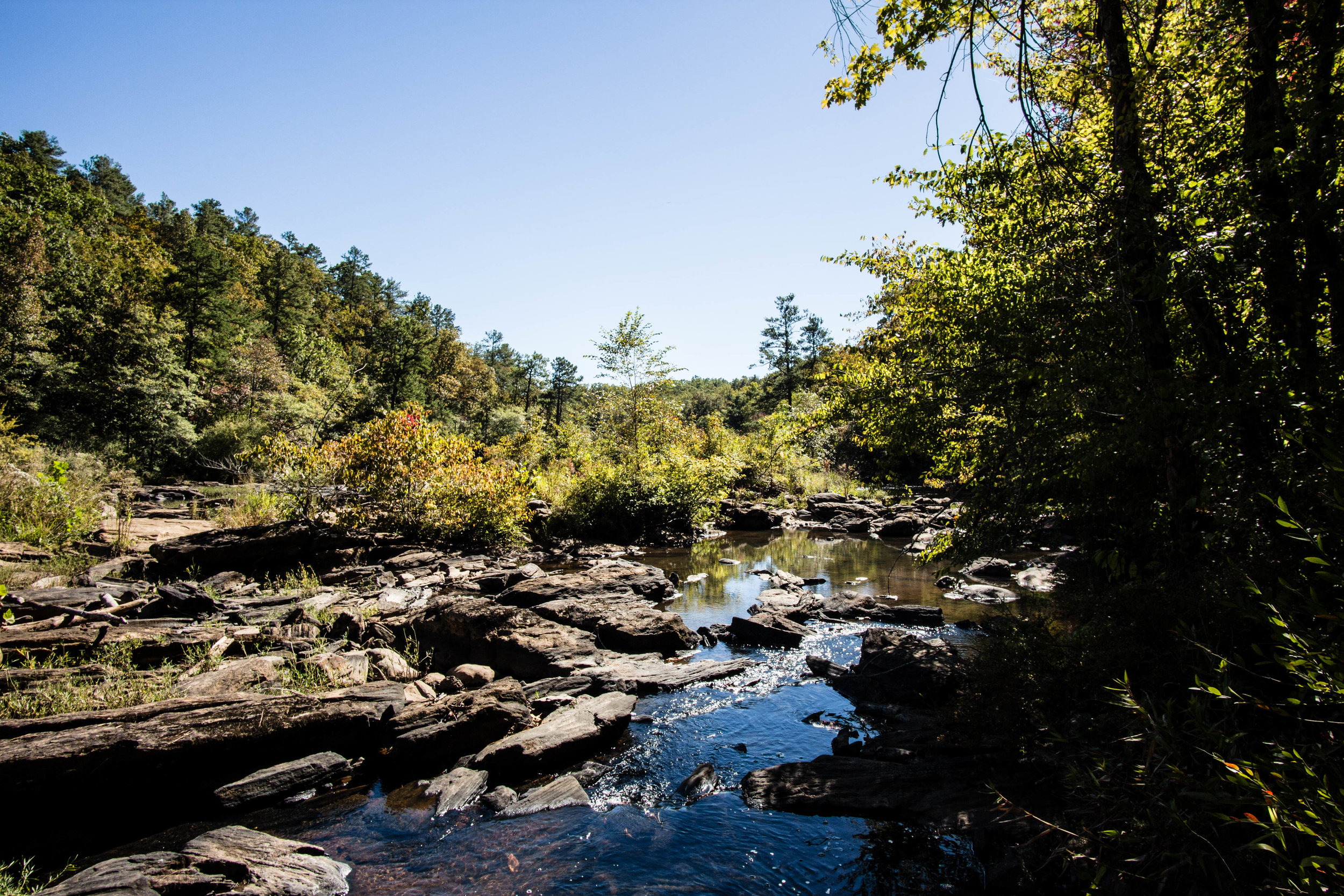
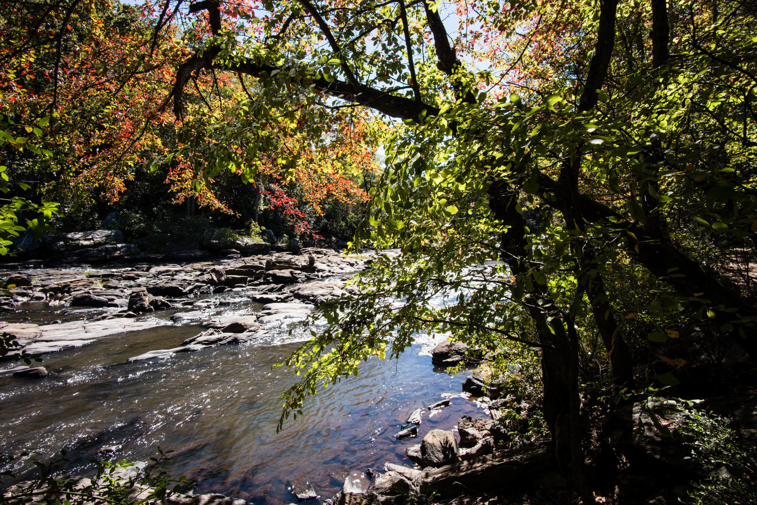
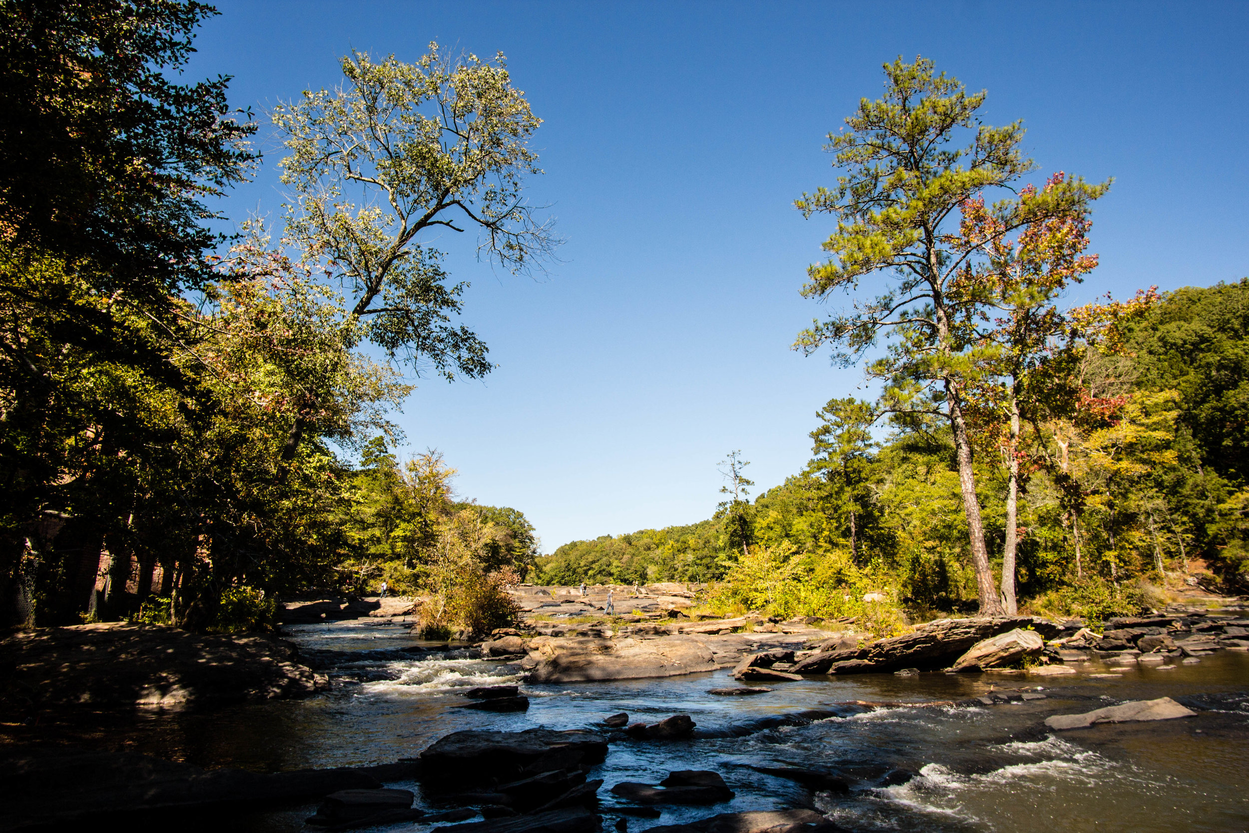
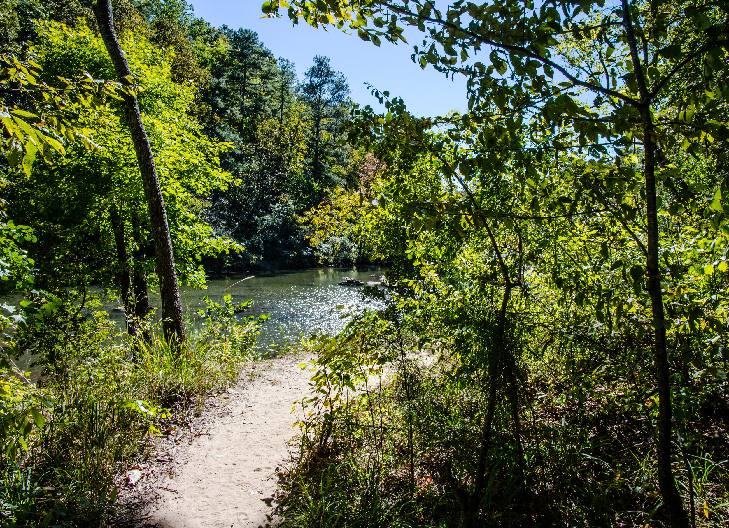
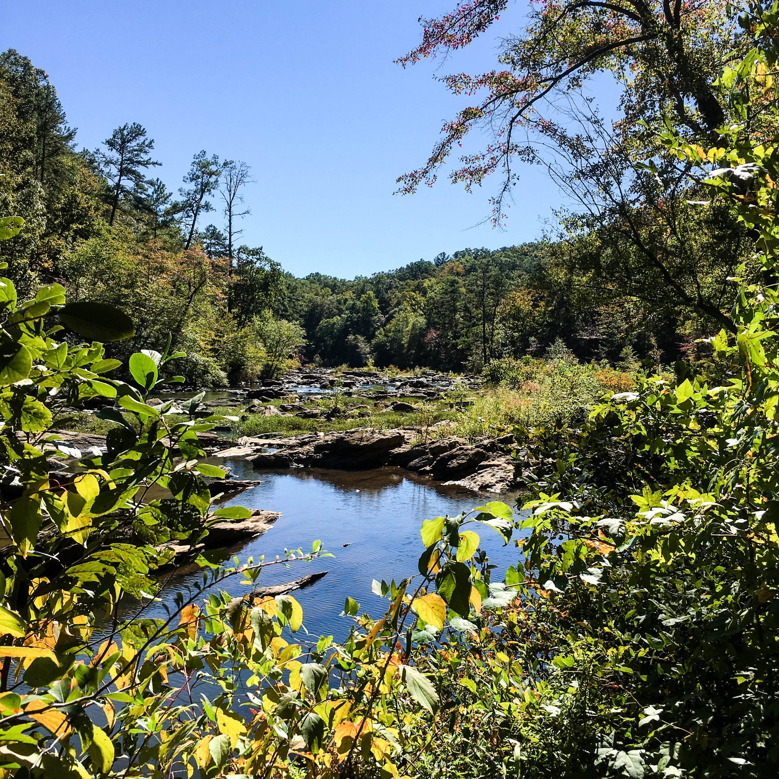
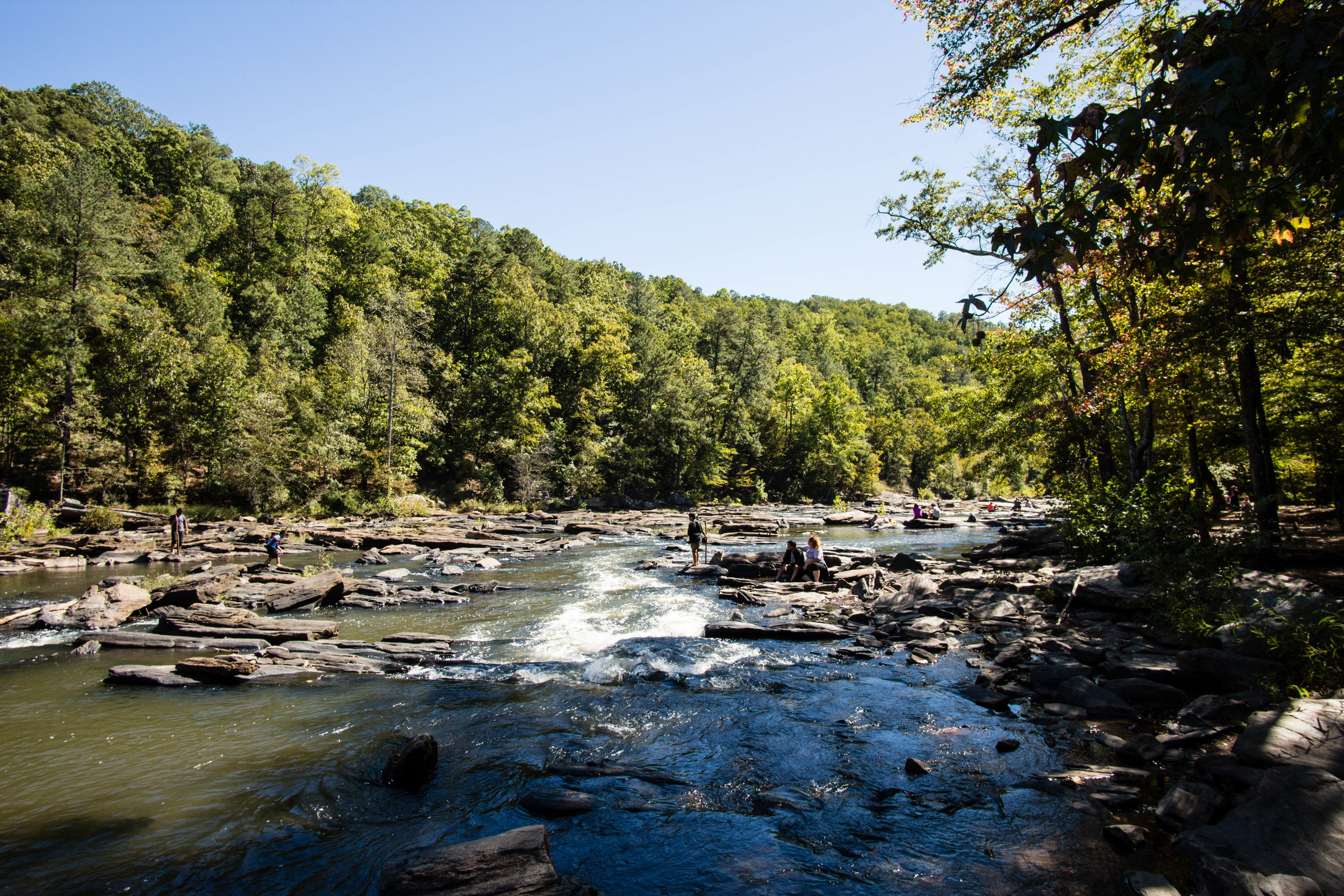
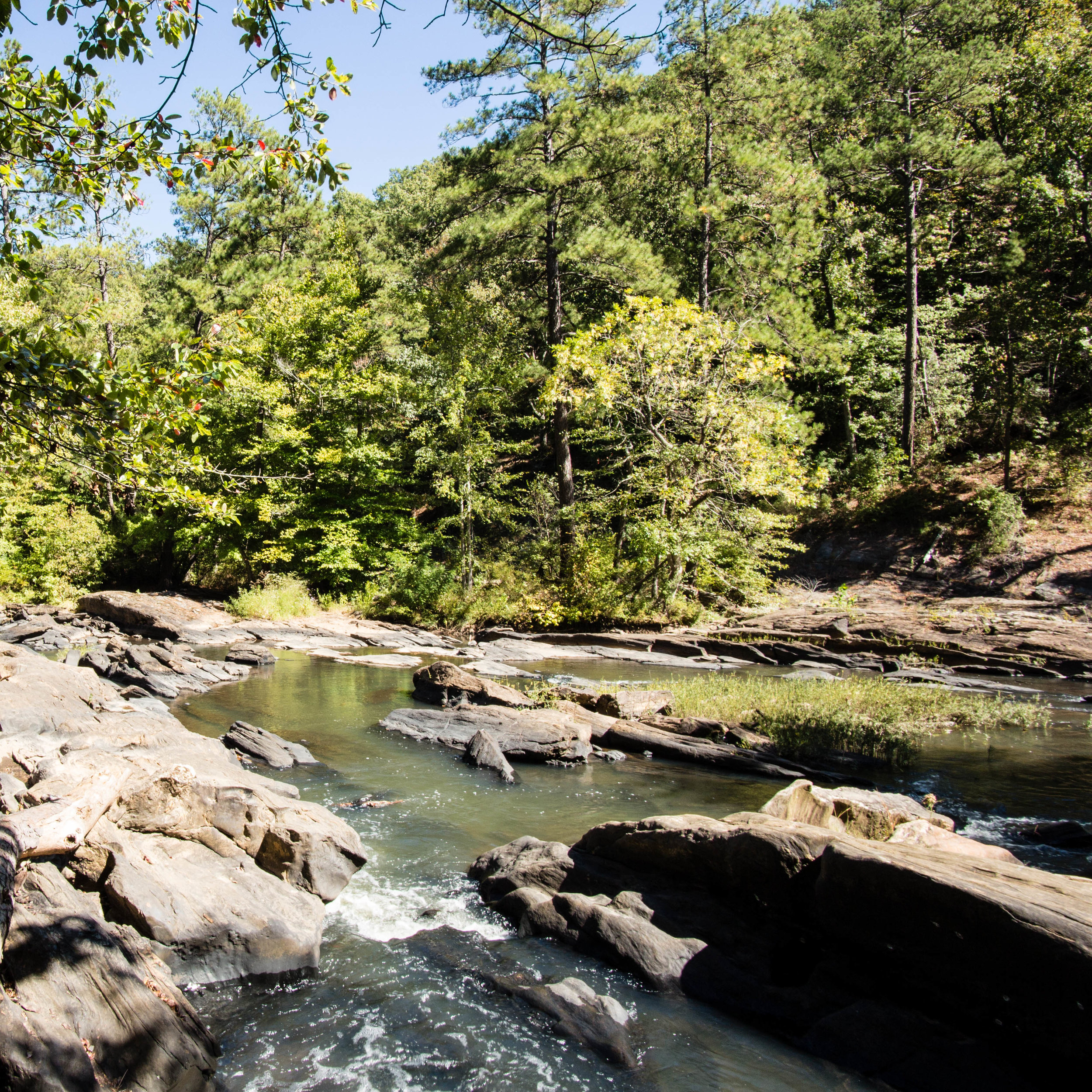
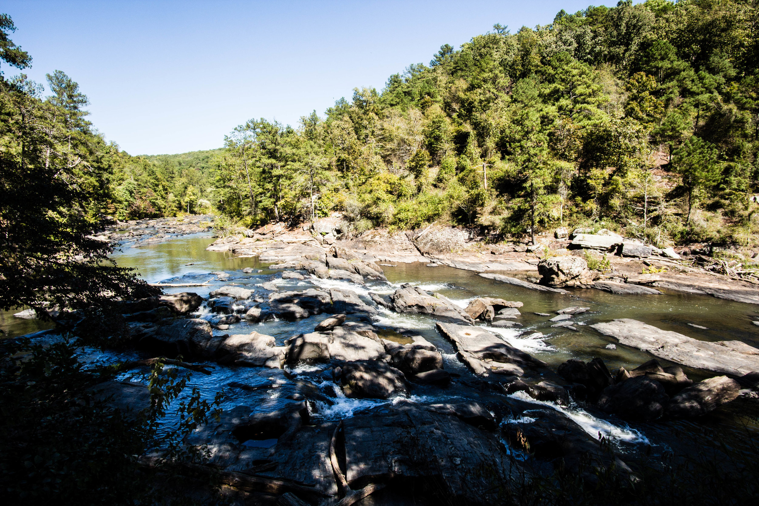
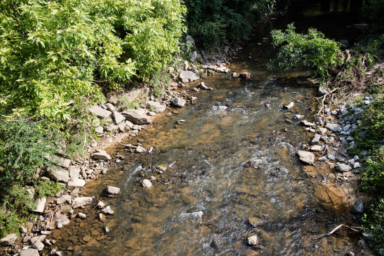
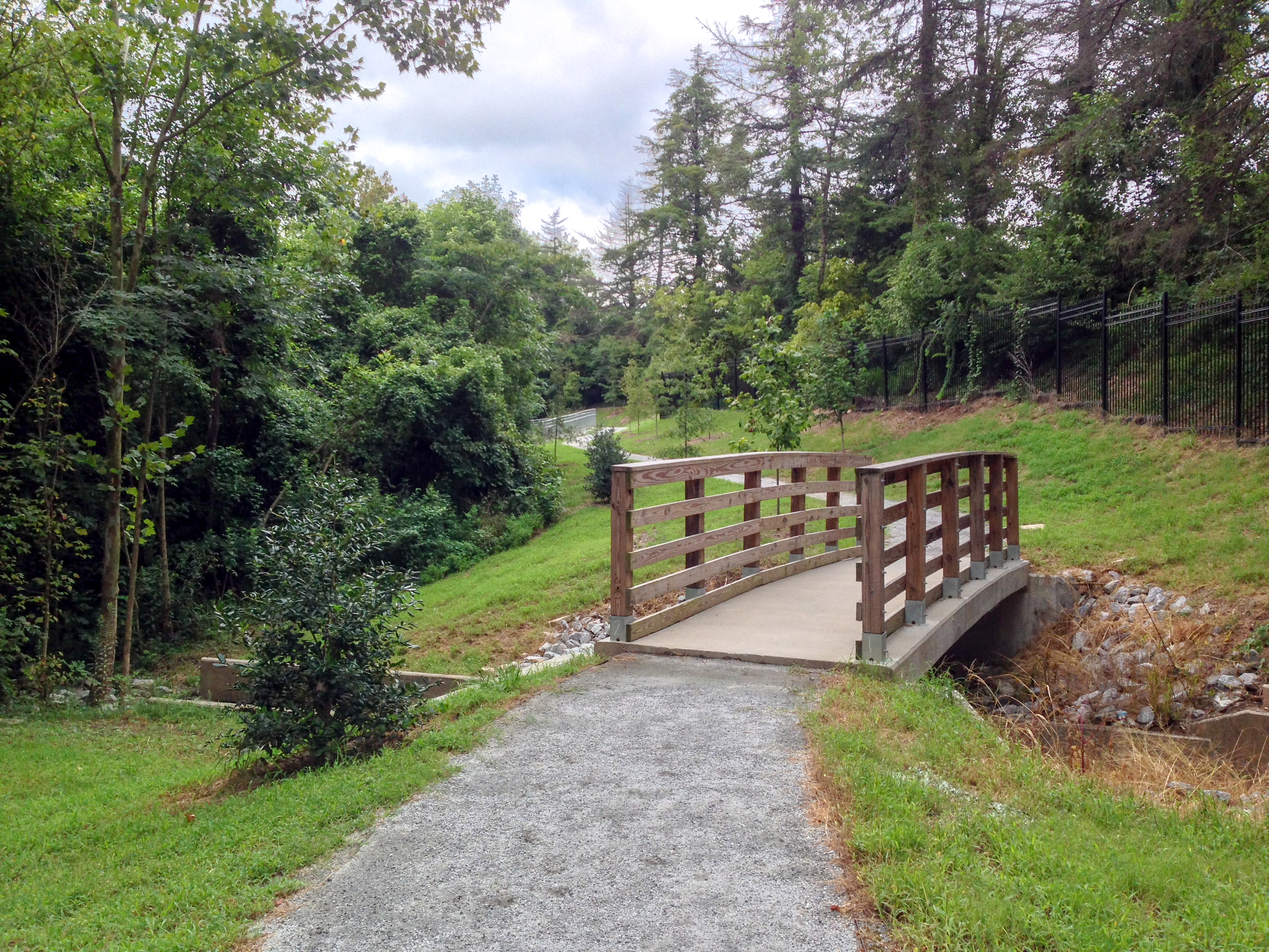
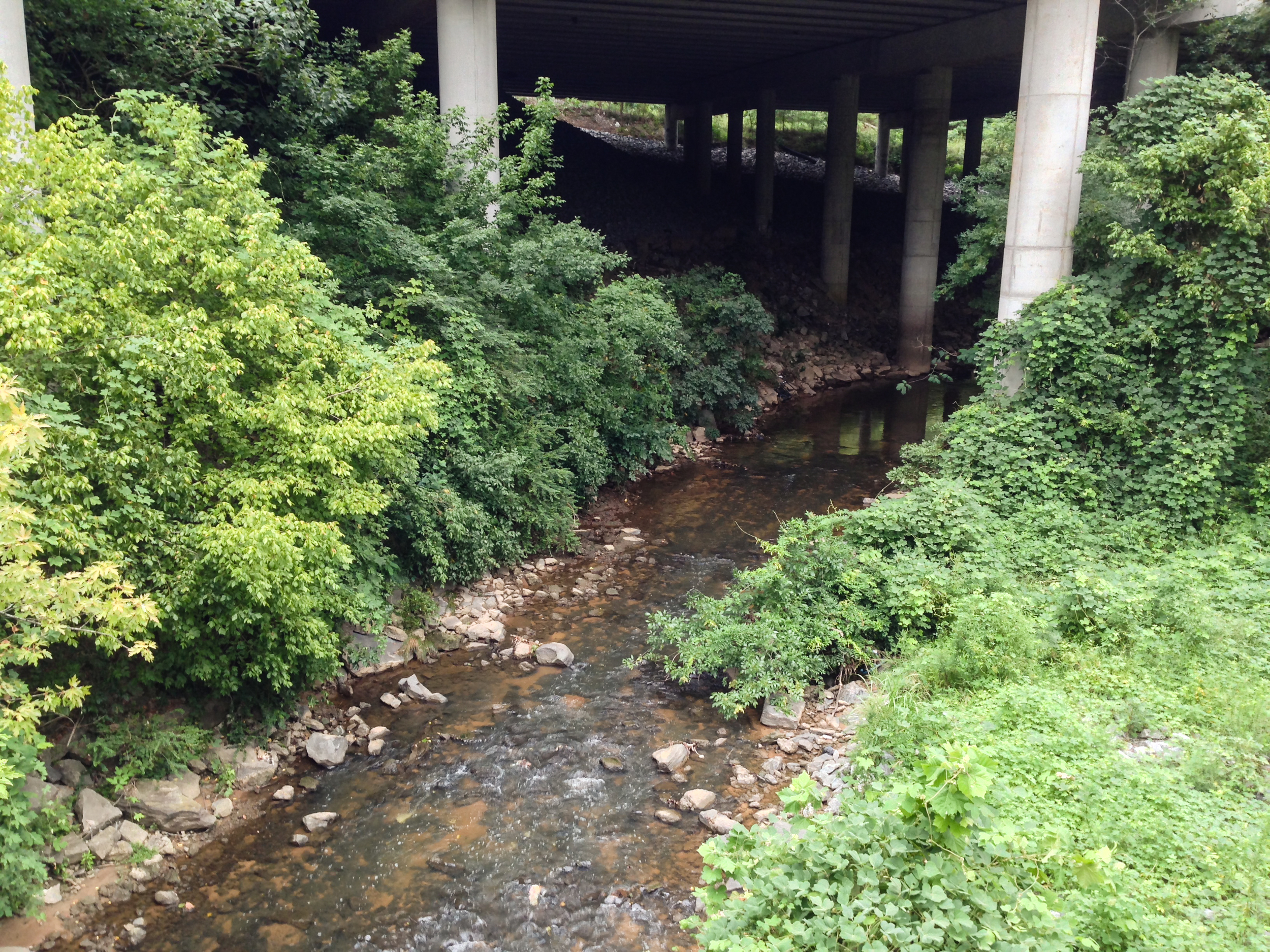
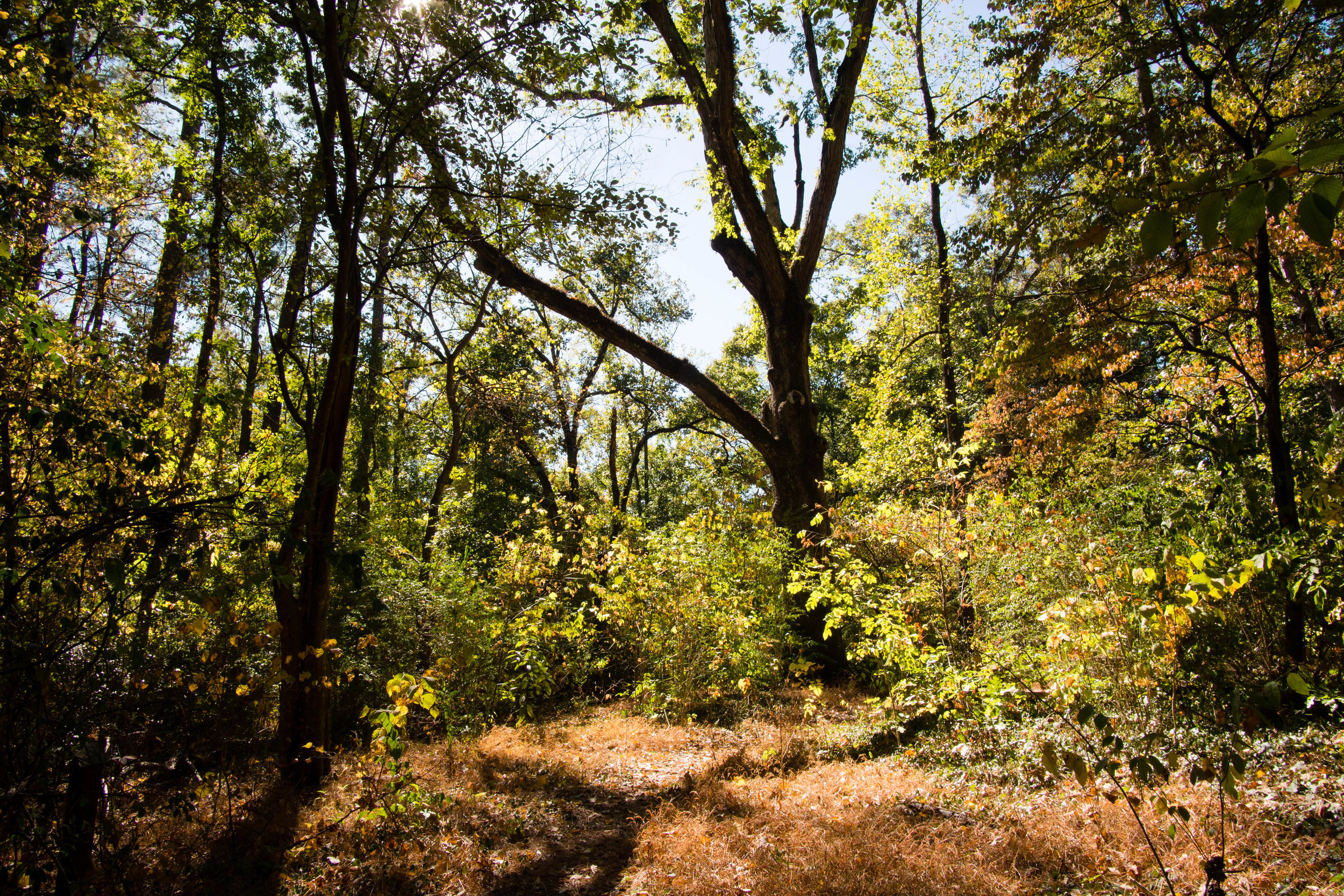
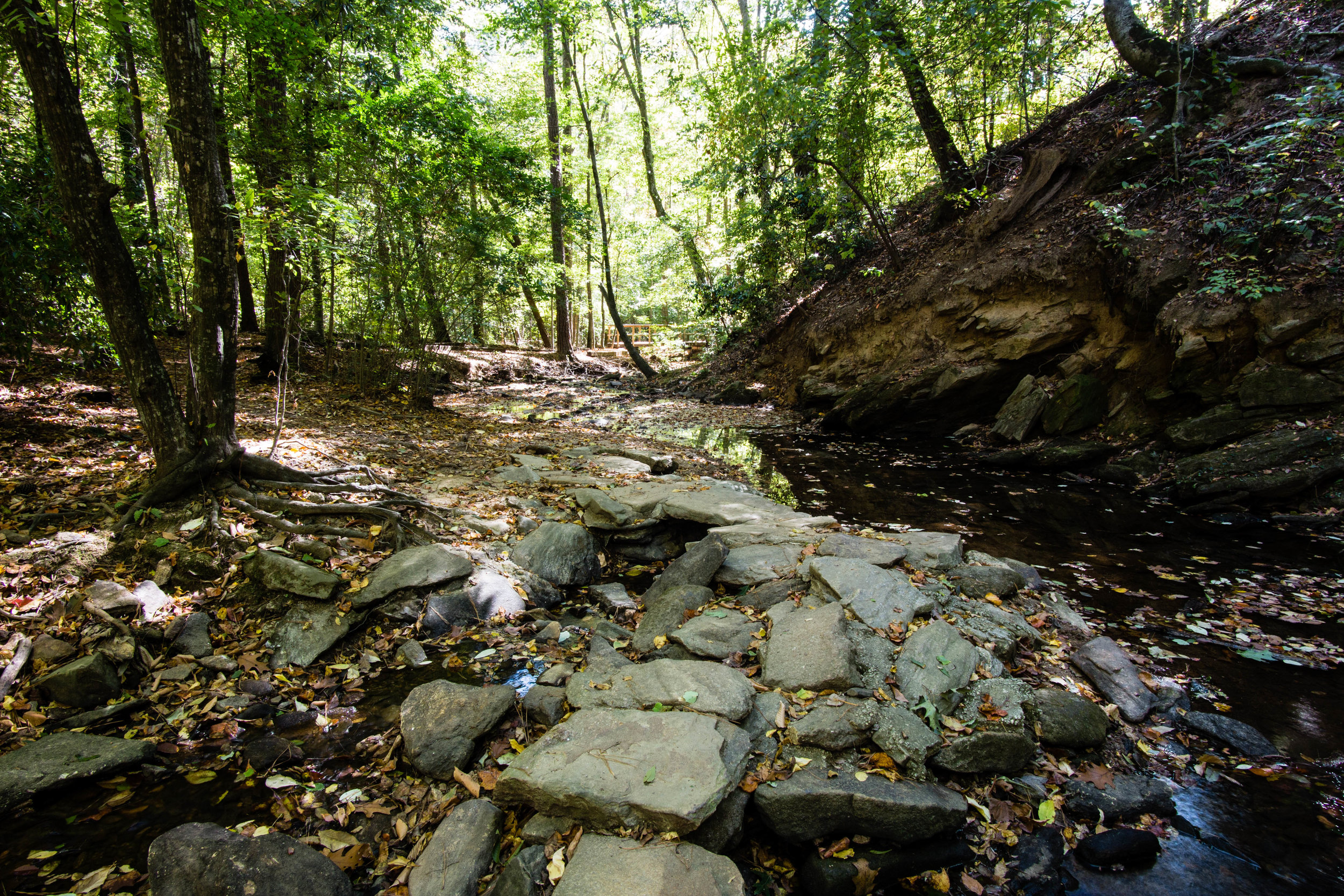
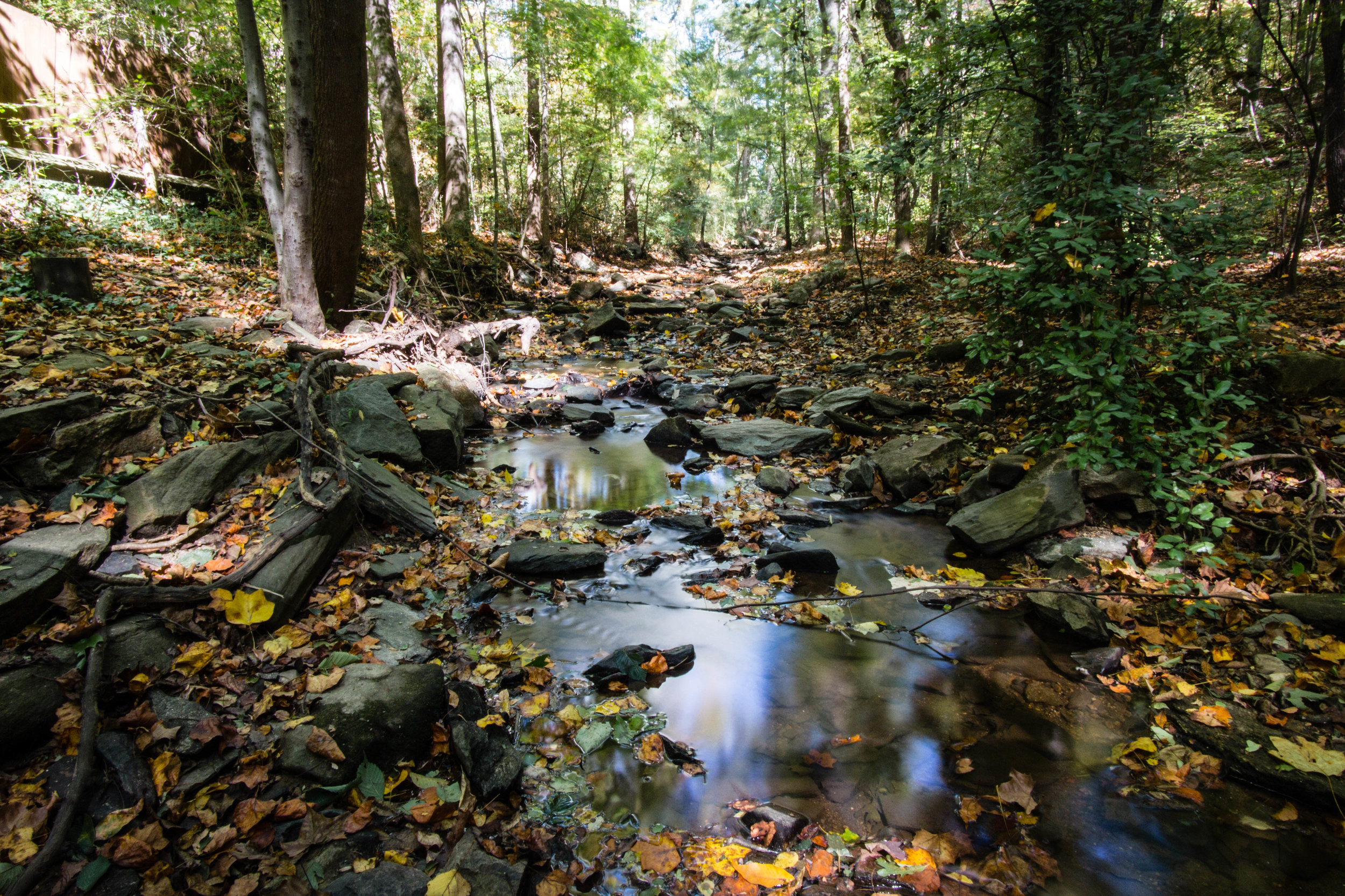
In 1989, there were plans for this land to become a car dealership, but it was saved by John Ripley Forbes and the Southeast Land Preservation Trust. Powers Branch creek runs through the preserve.
Also known as: Big Trees Nature Preserve
Address: 7645 Roswell Road, Sandy Springs, GA 30350
Cost of admission: None
Governance: City of Sandy Springs
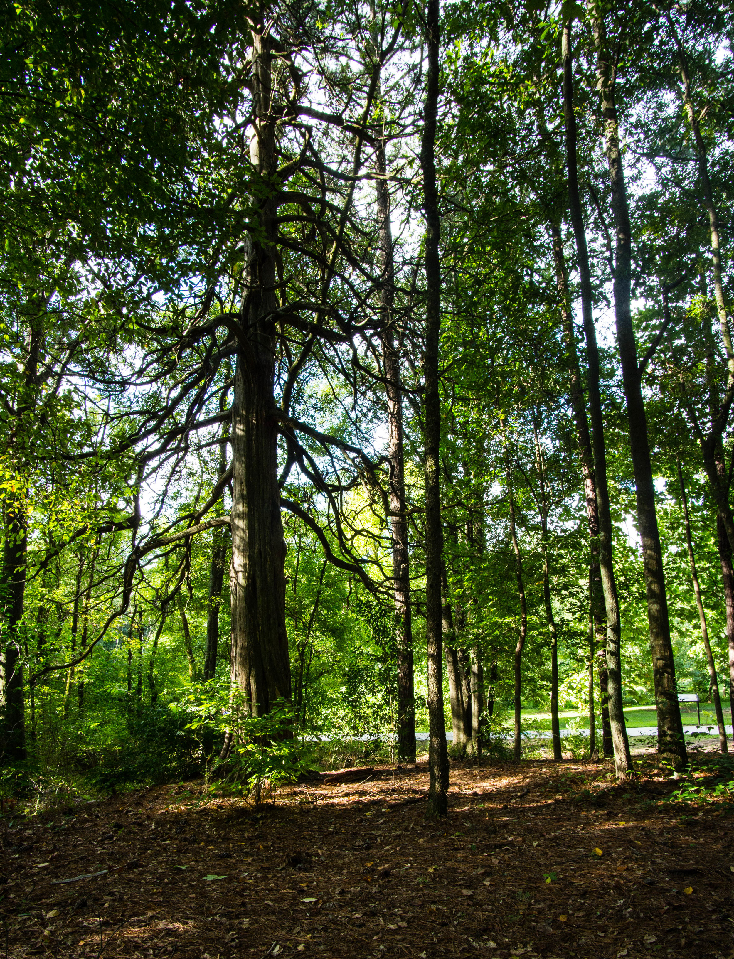
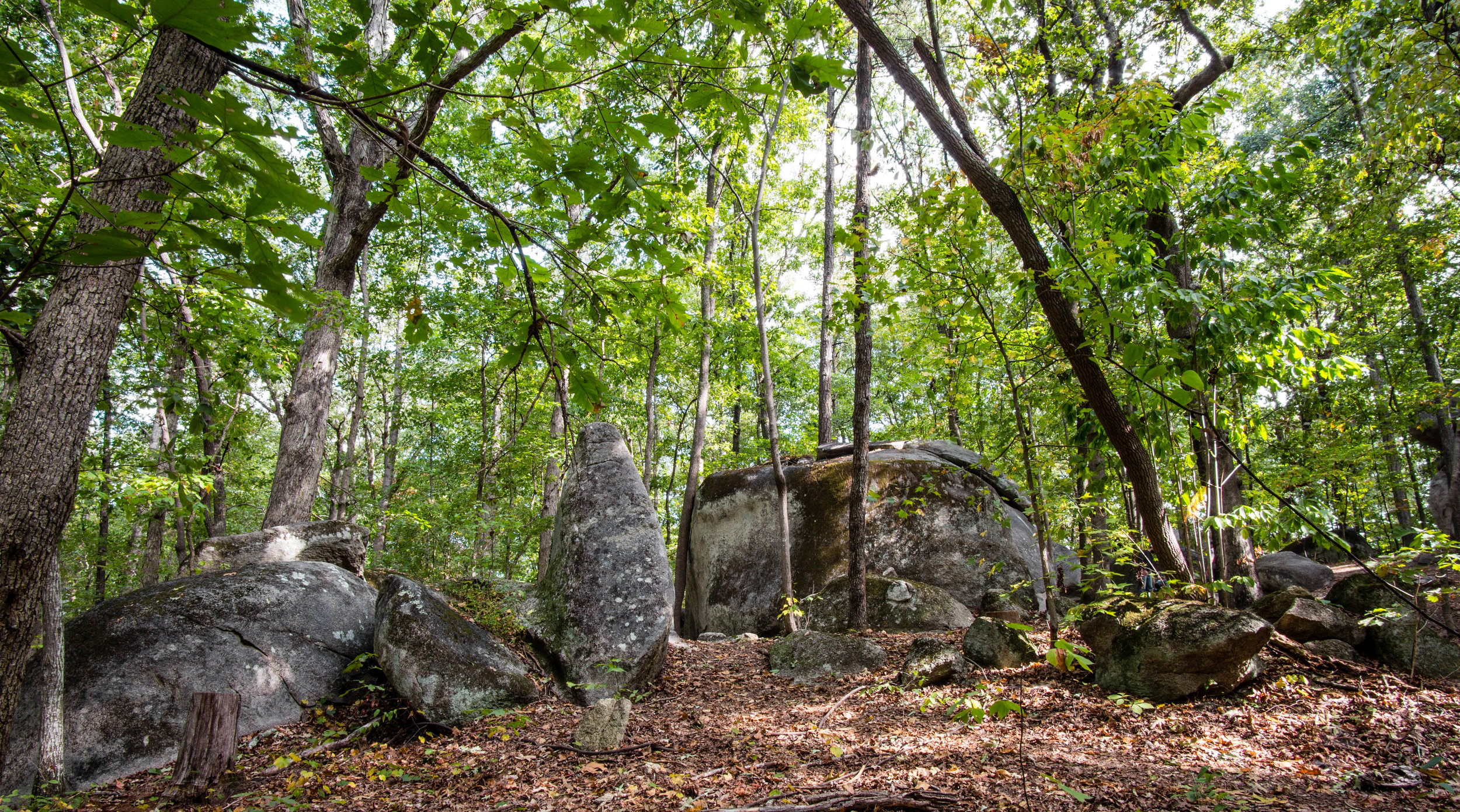
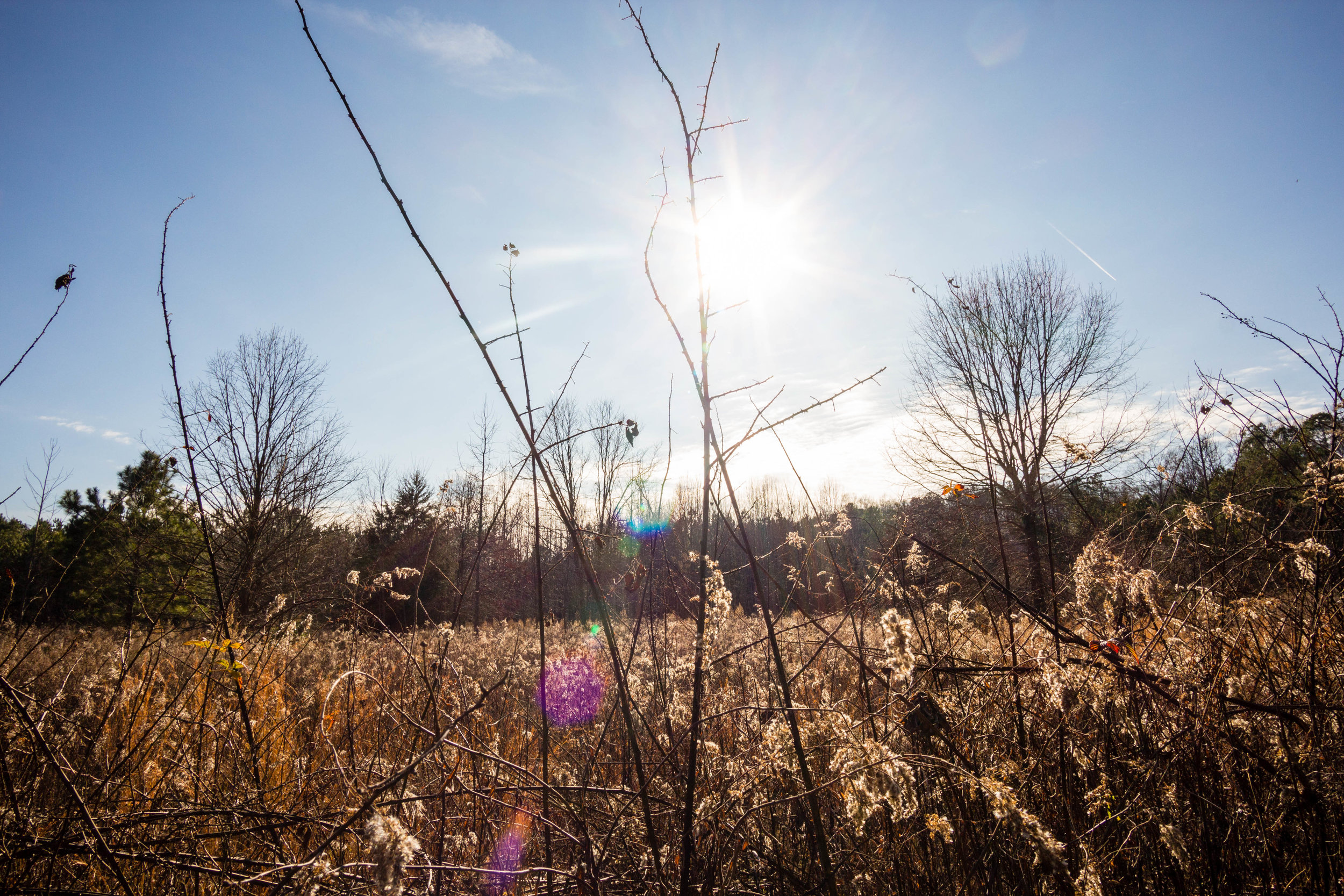
Acres: 30
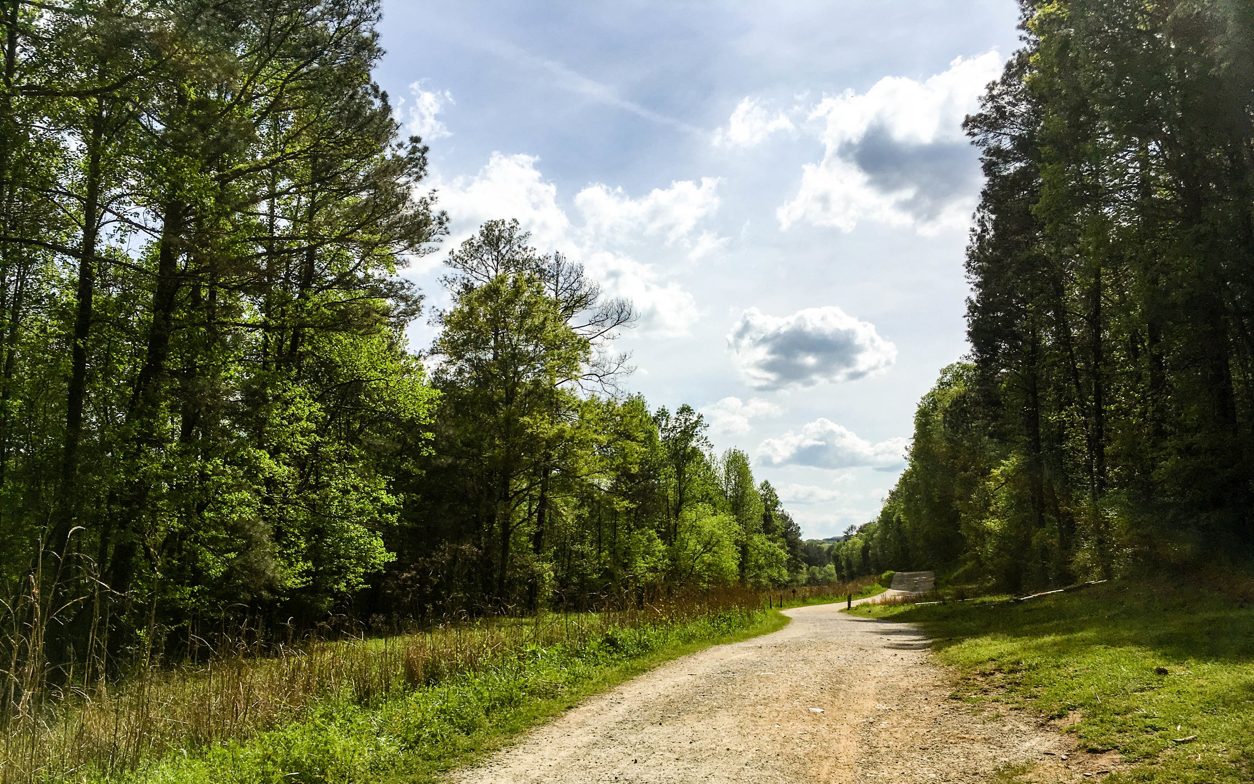
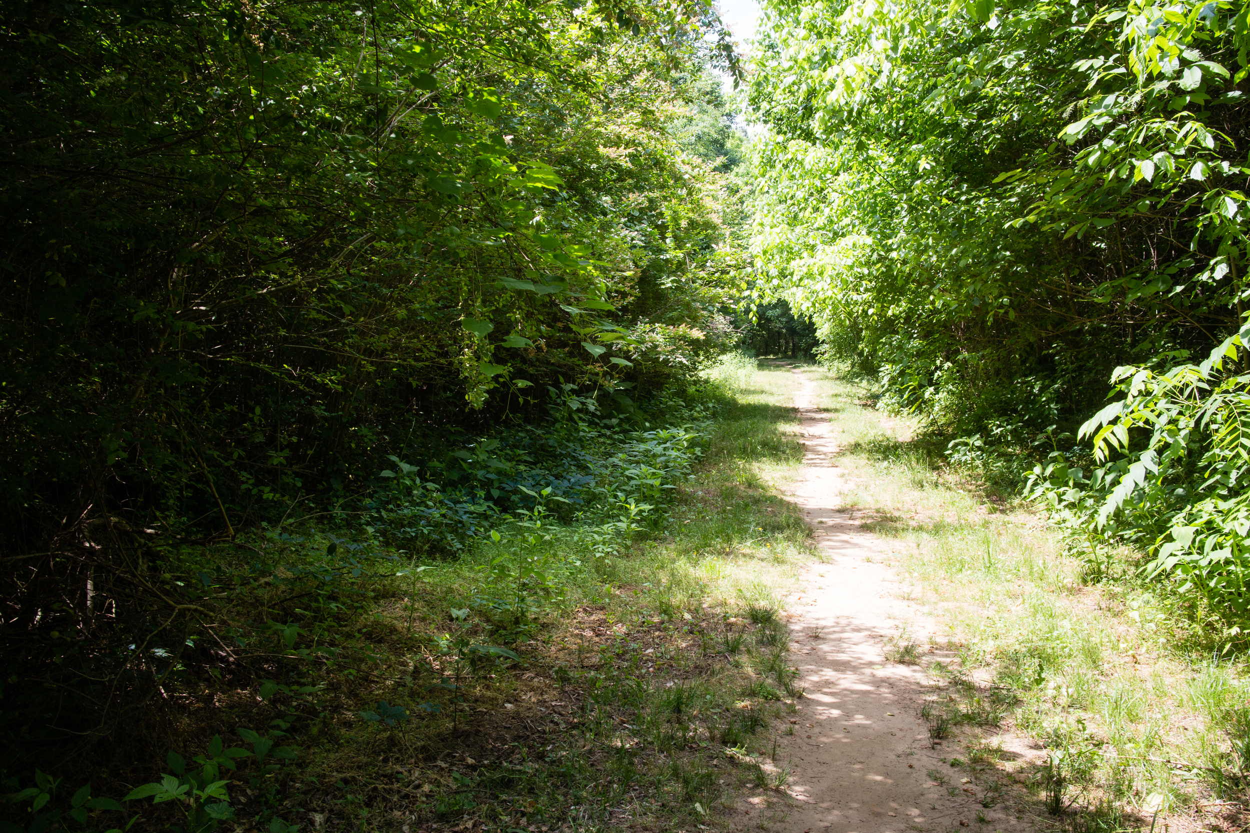
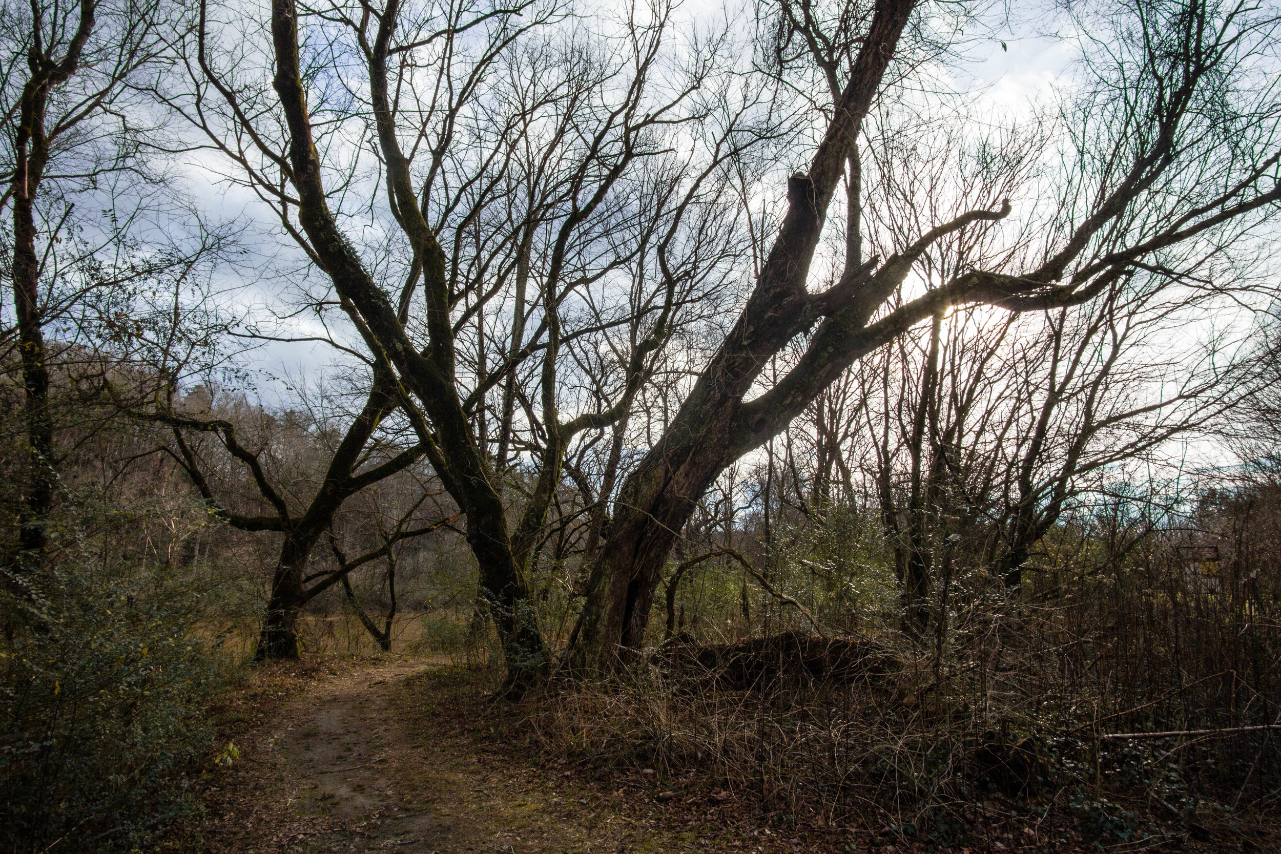
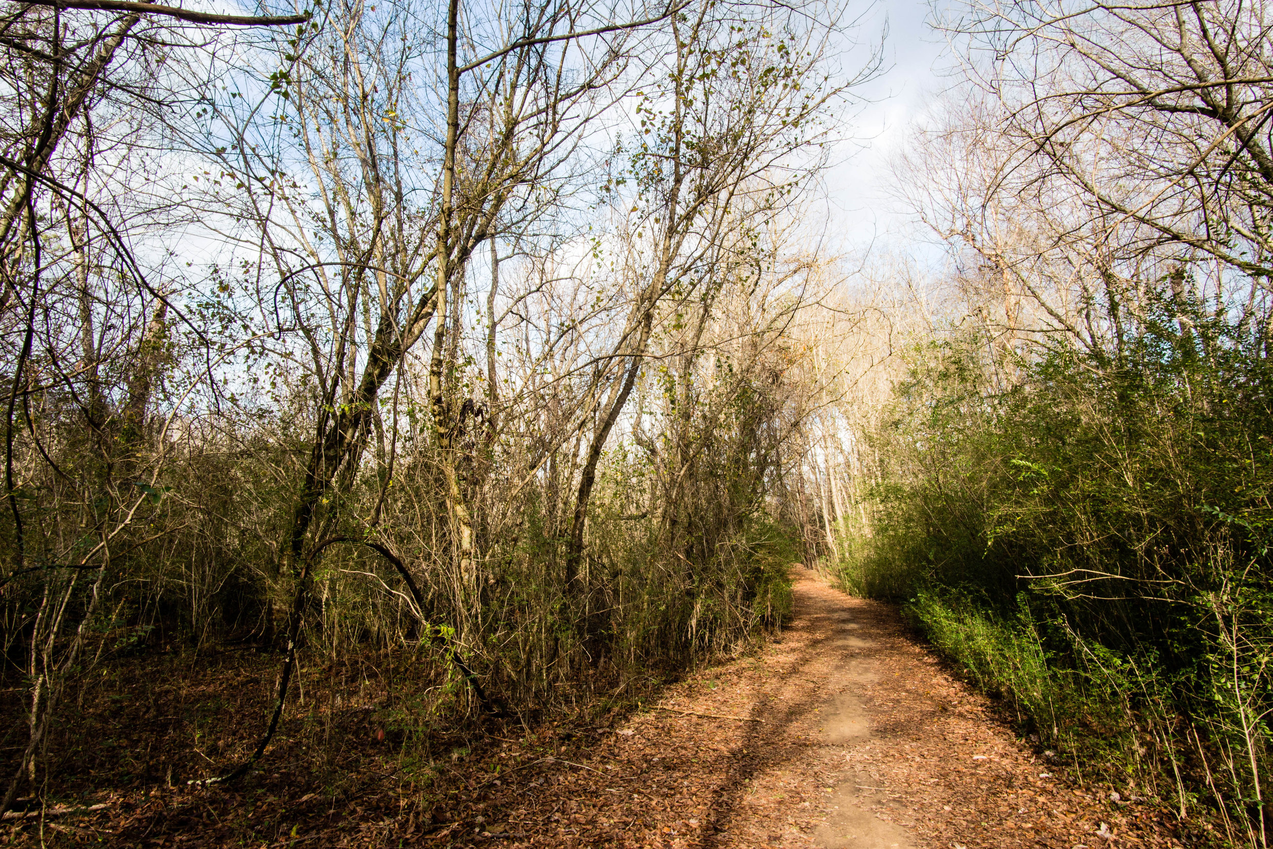
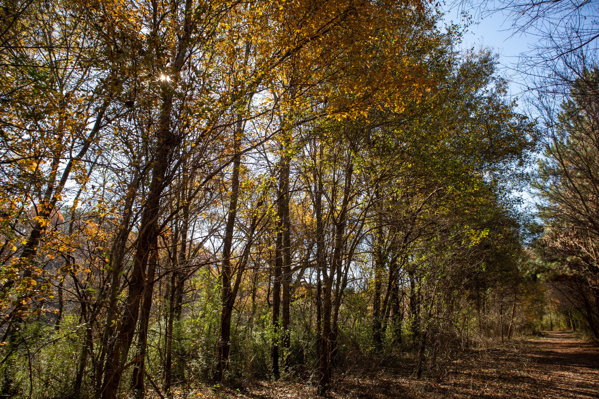
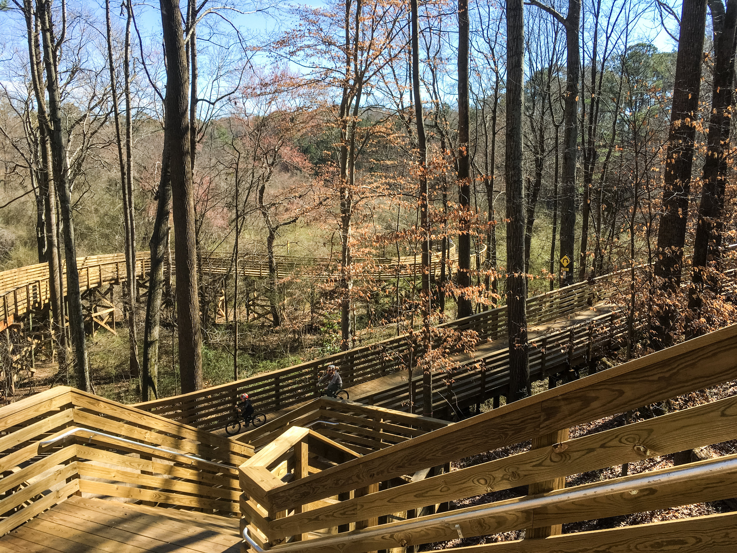
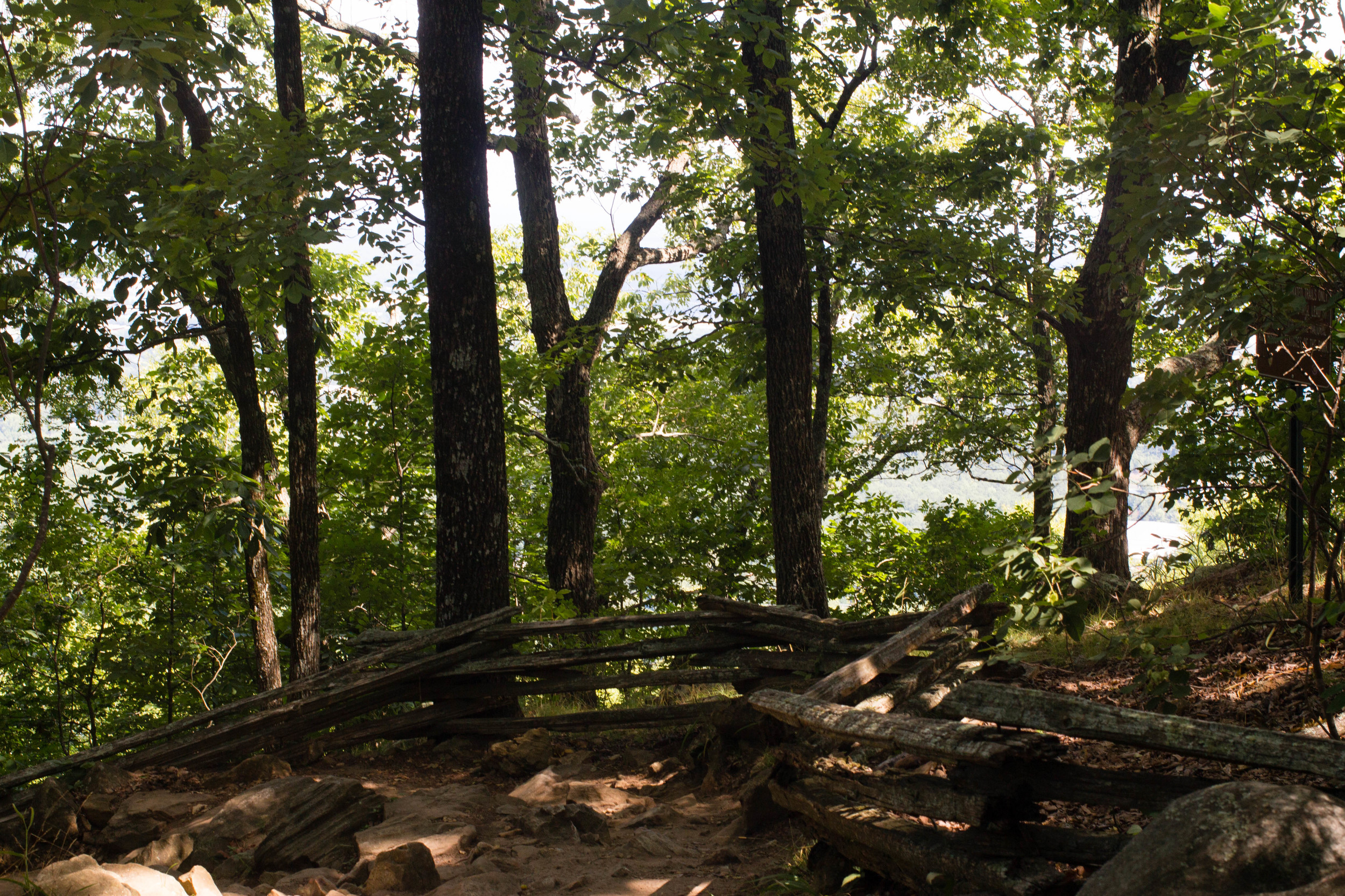
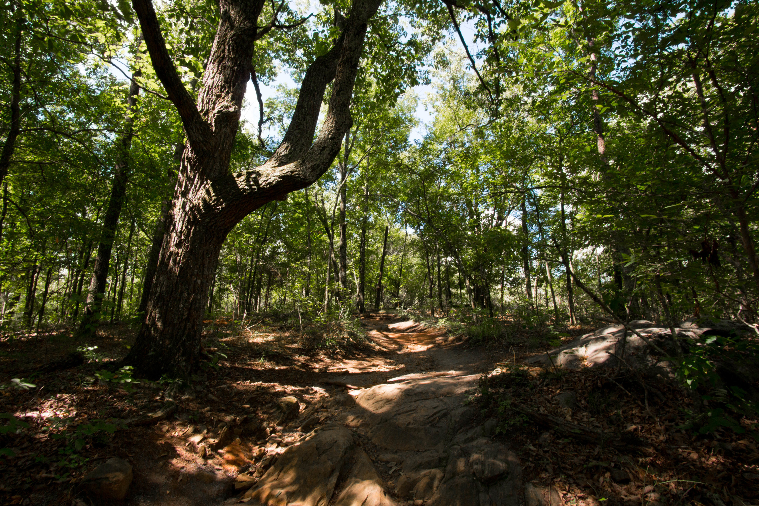
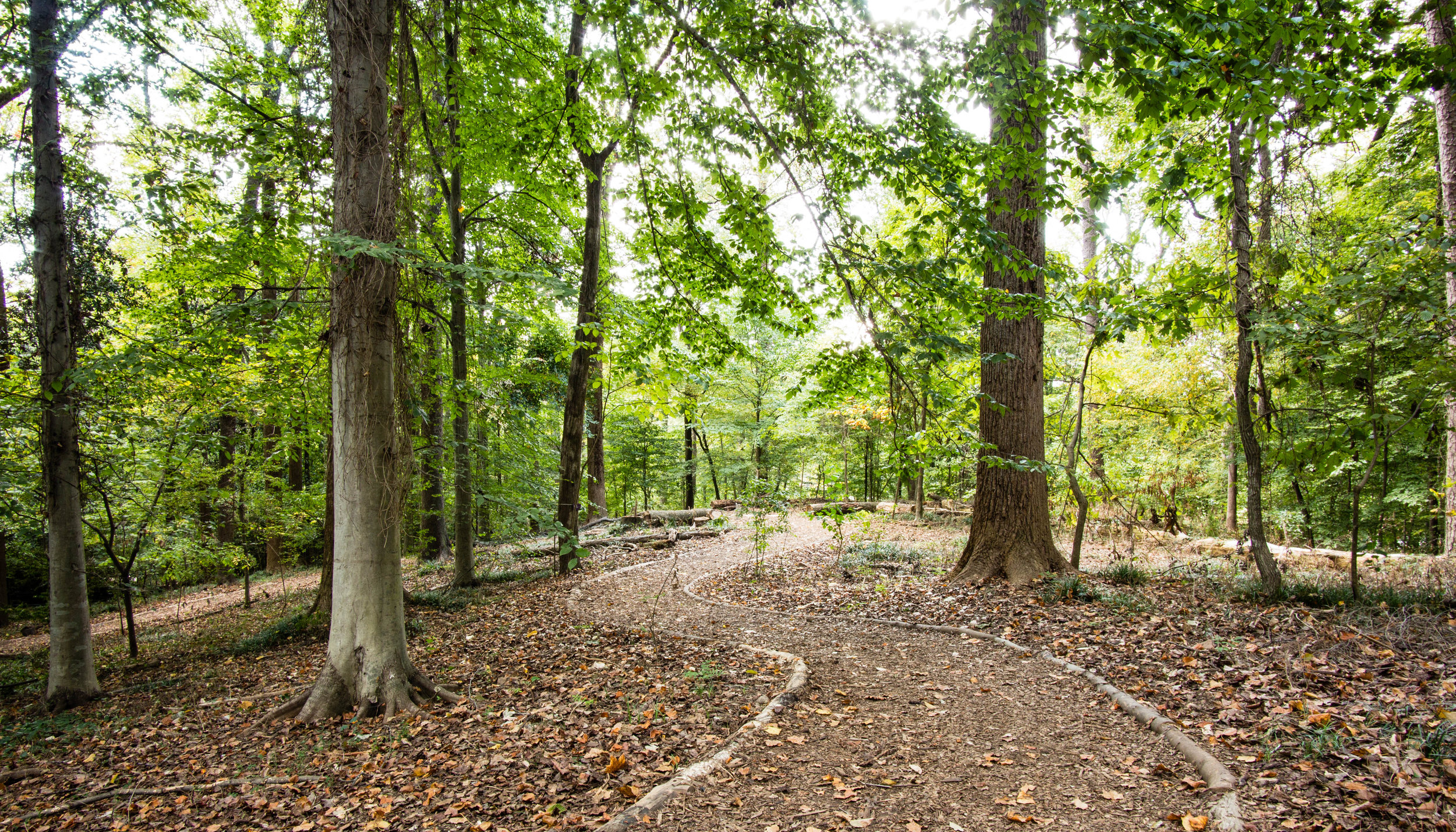
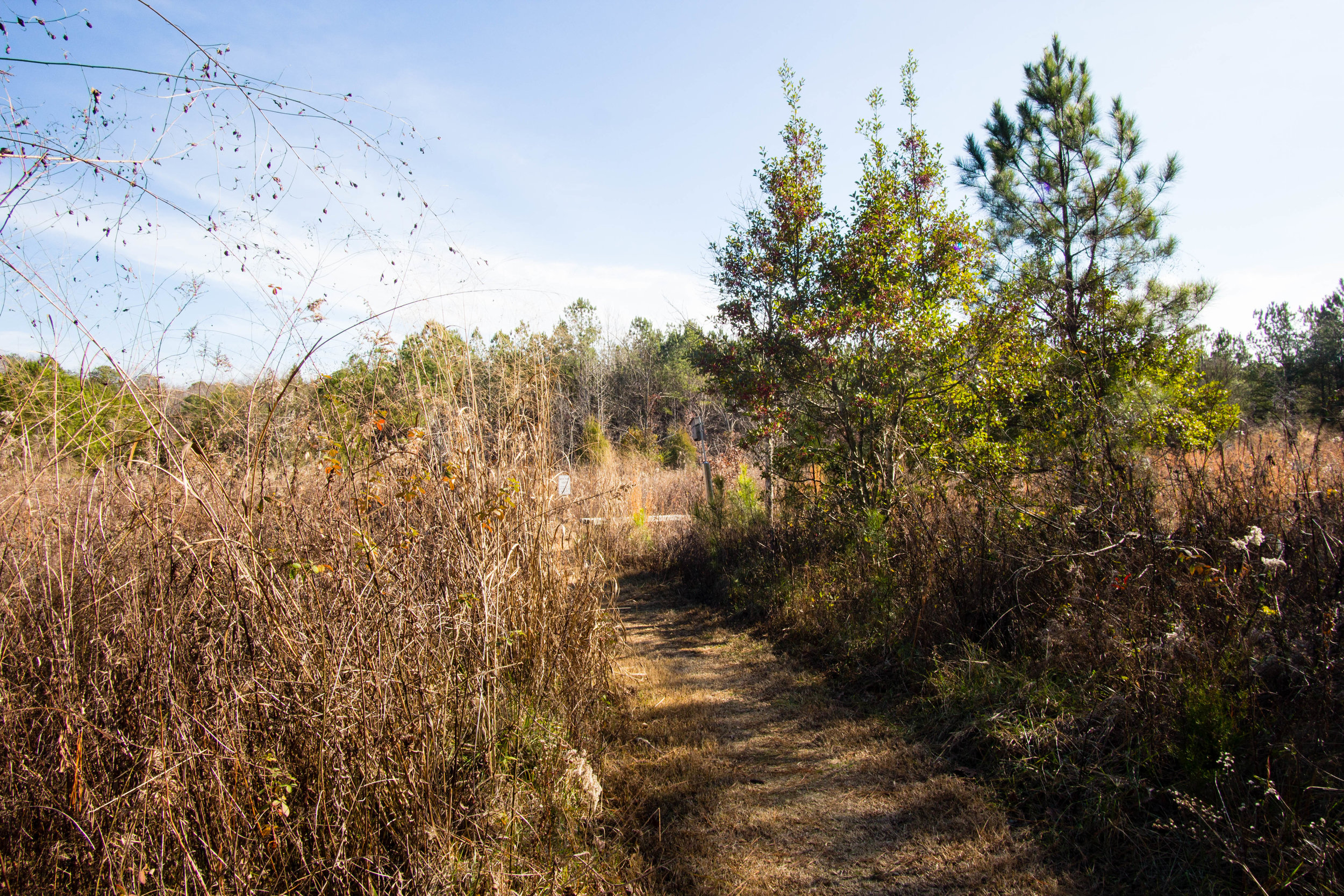
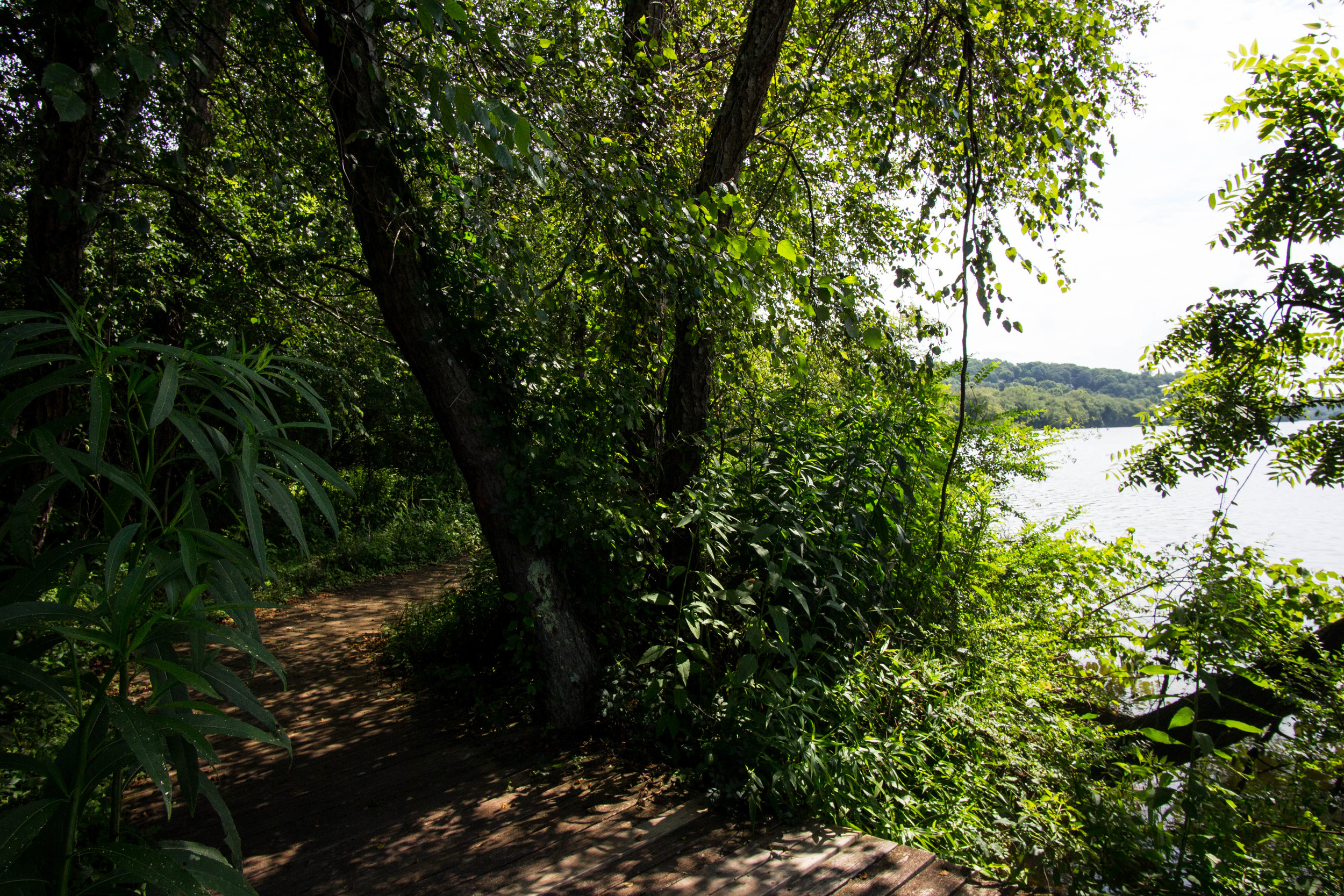
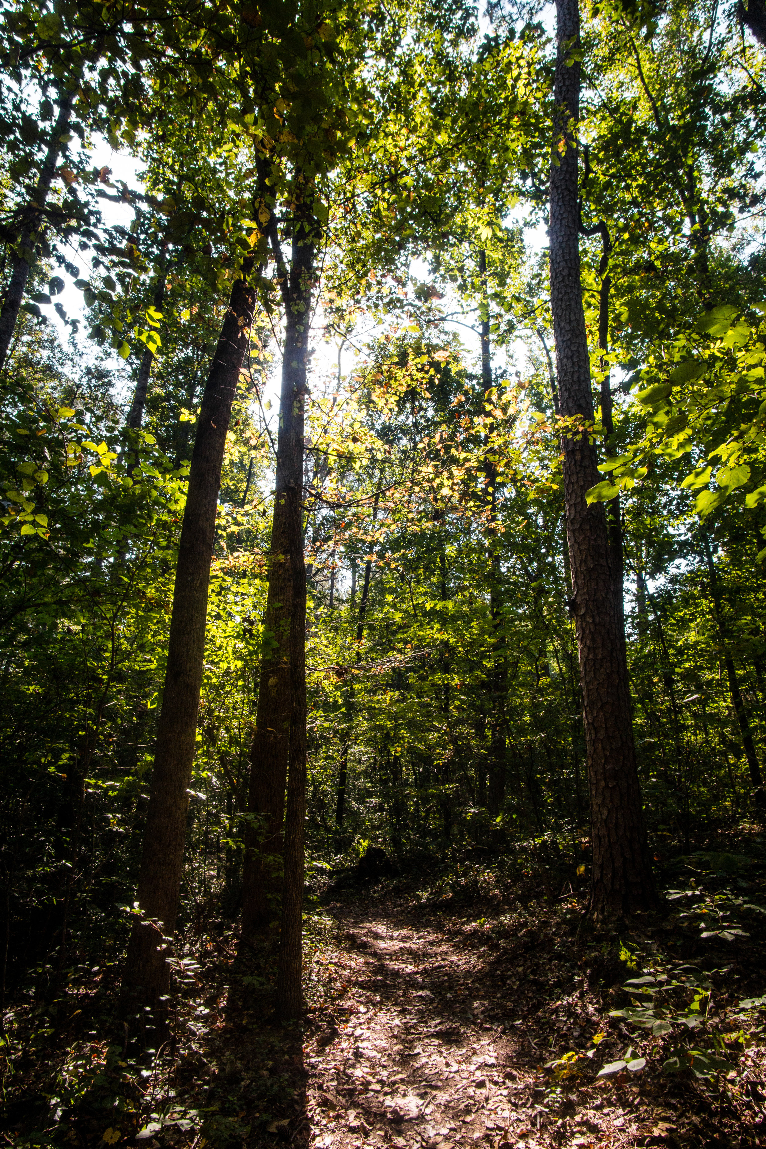
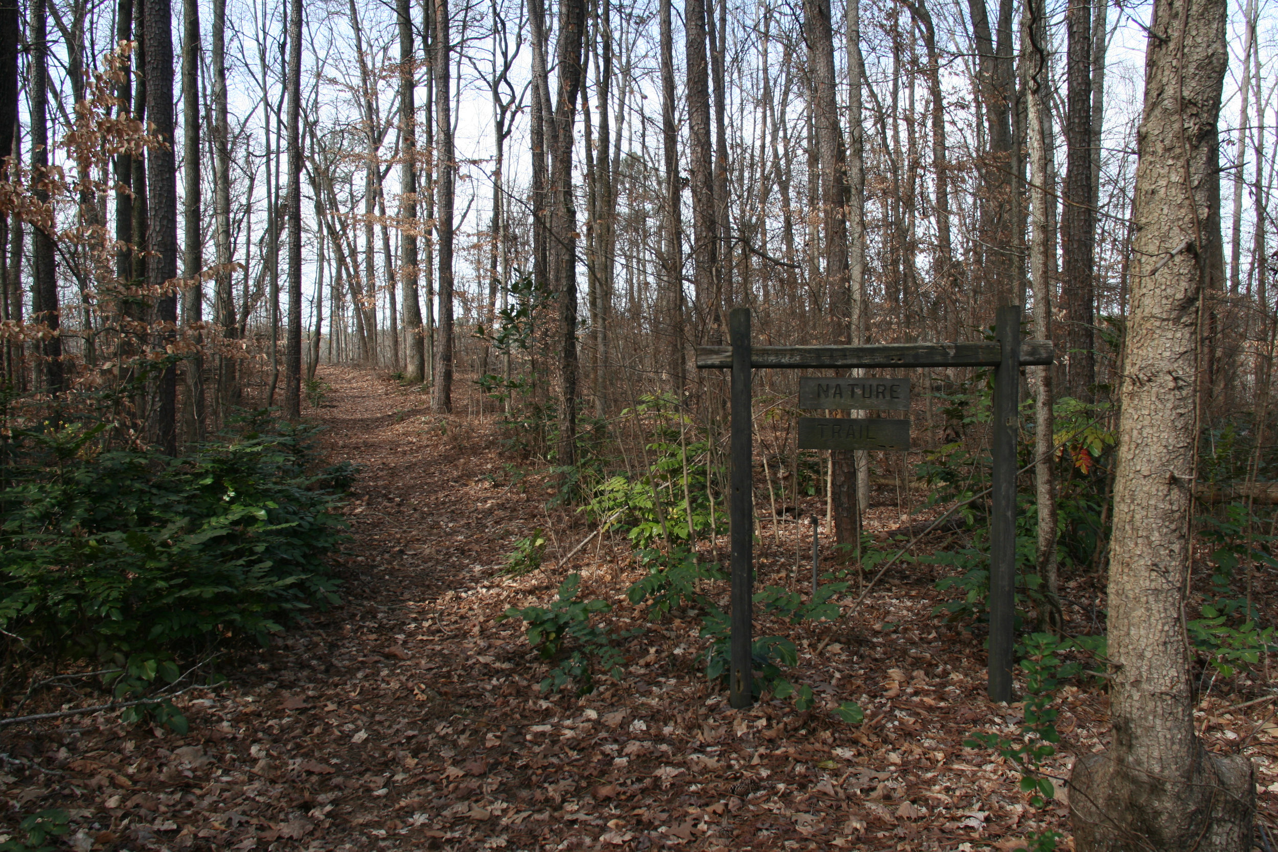
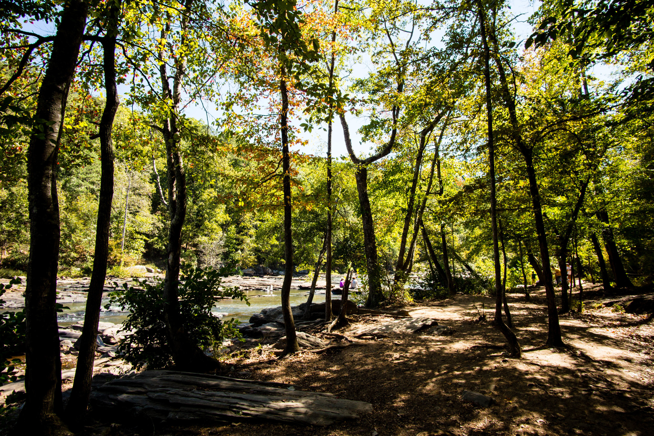
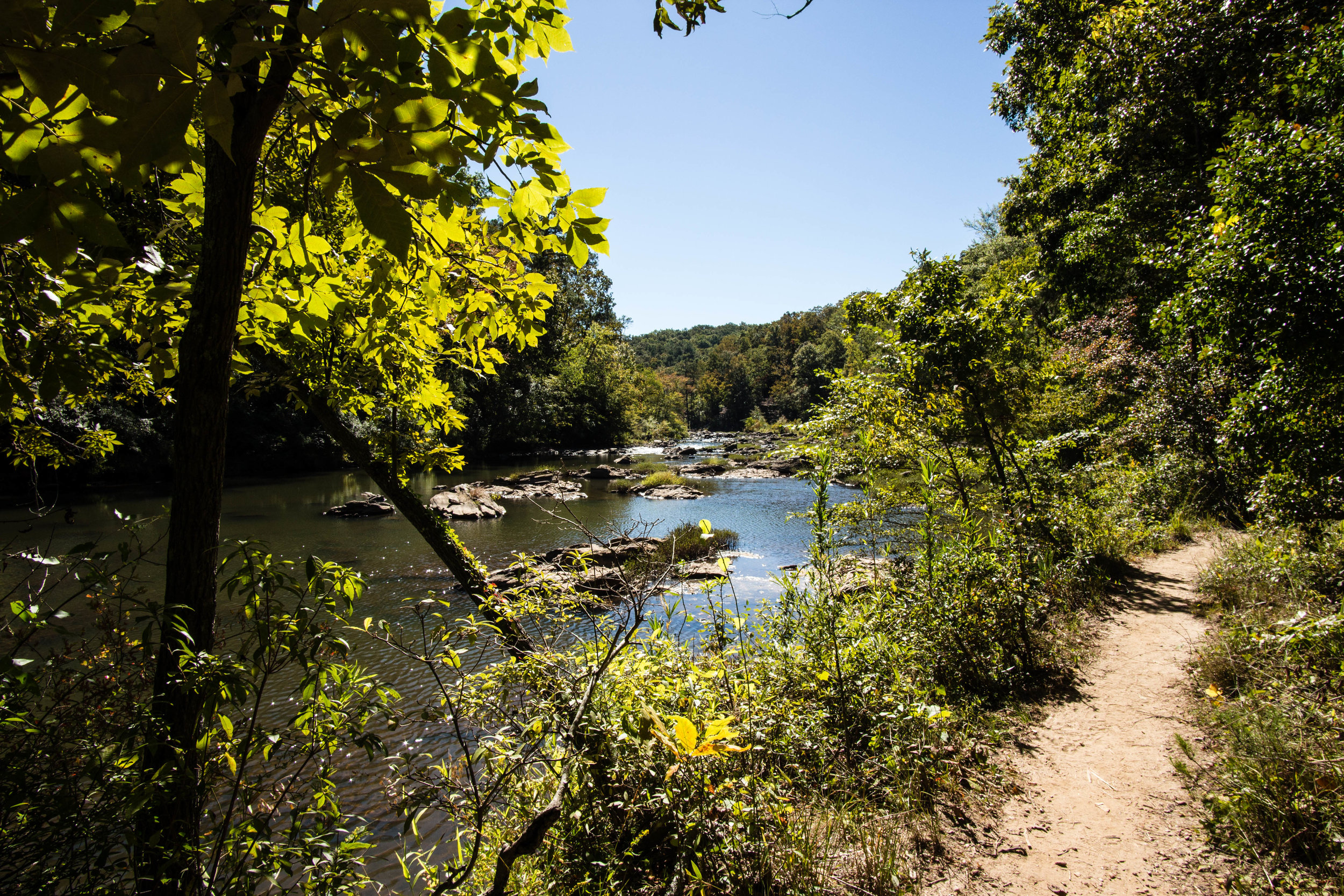
Approximate miles of trails: 2
Hours: Sunrise to sunset
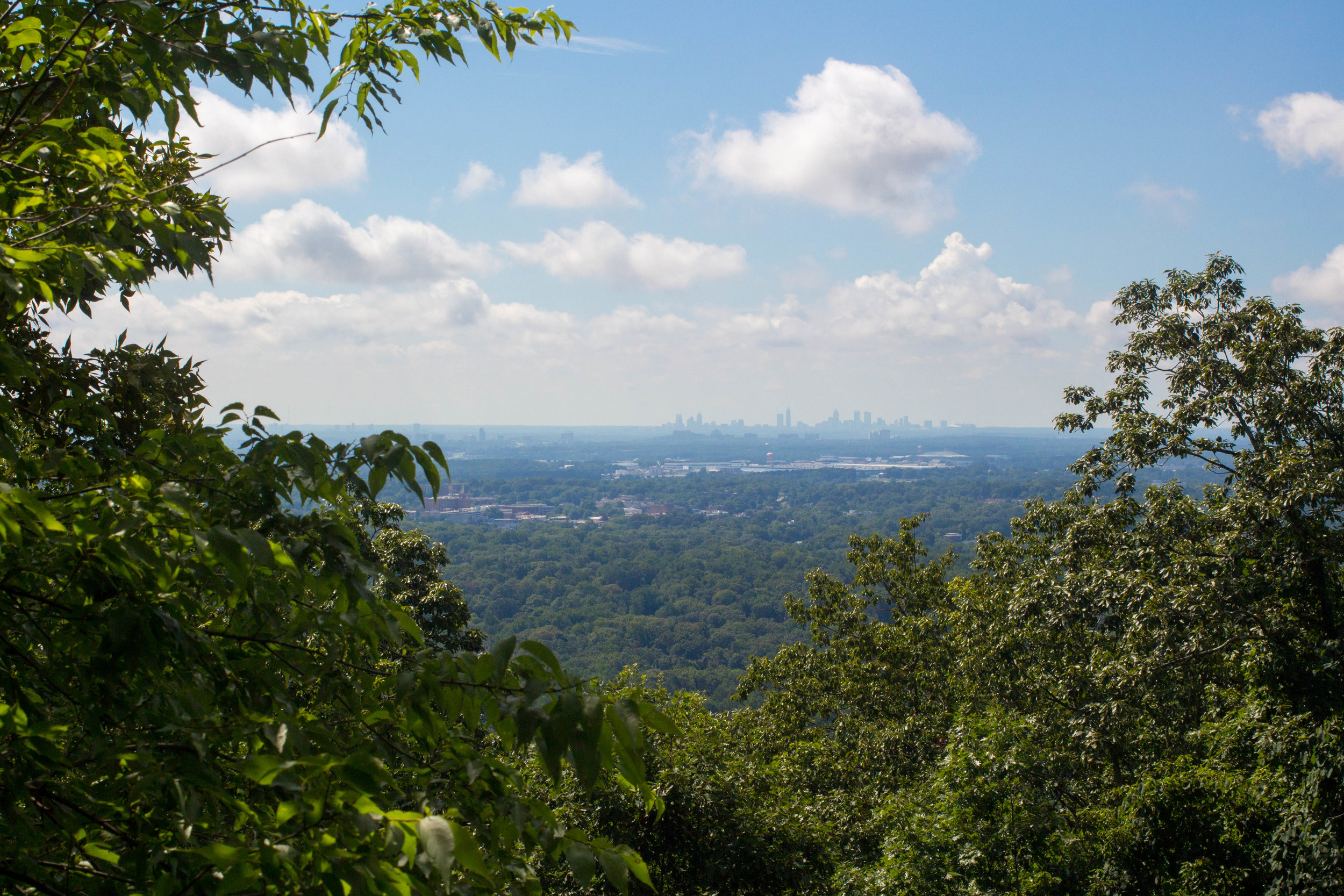
Miles from downtown Atlanta: 15
MARTA directions: Take the #87 bus from Dunwoody Station to the stop at 7741 Roswell Rd. (North Fulton County Government Center). There is no crosswalk near this stop, so it might be best to return by using the same bus stop (instead of crossing the street) and taking the #87 north to North Springs Station.
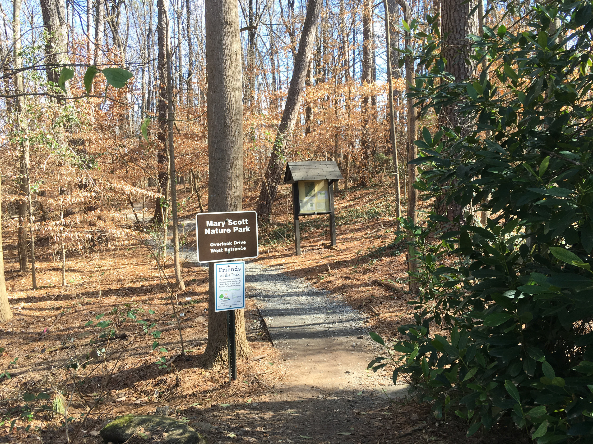
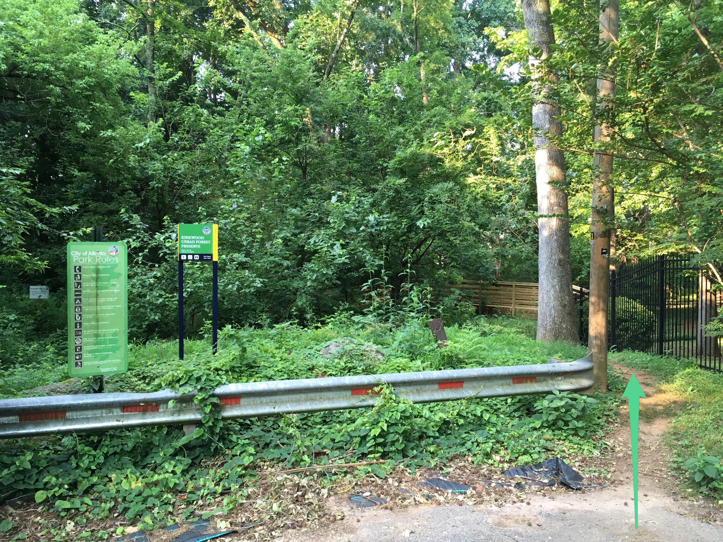
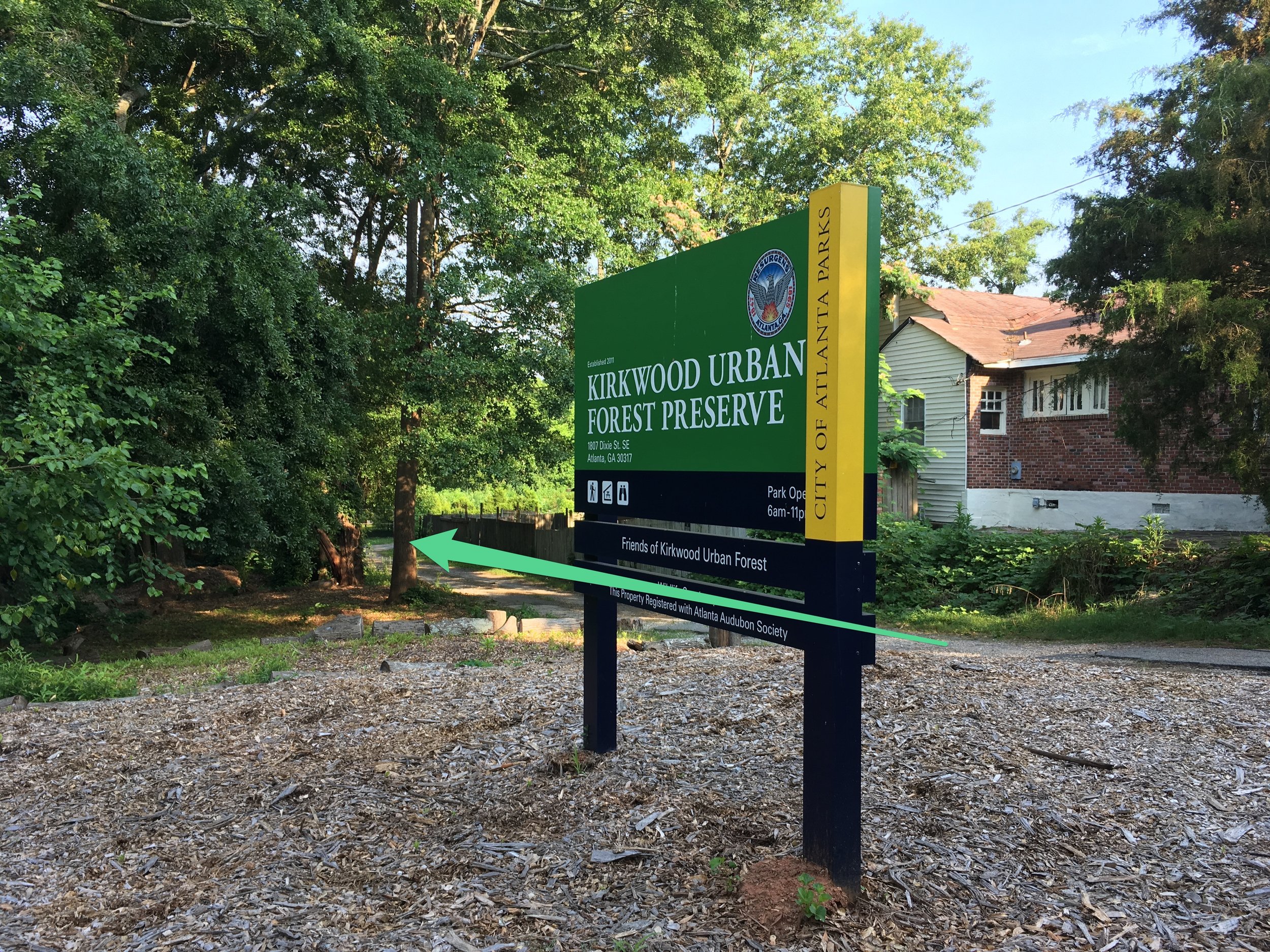
Trailheads: The trailhead is clearly marked in the parking lot just south of the government center. There are restrooms at the trailhead that are also visible.
Parking: There is free parking available at the main trailhead
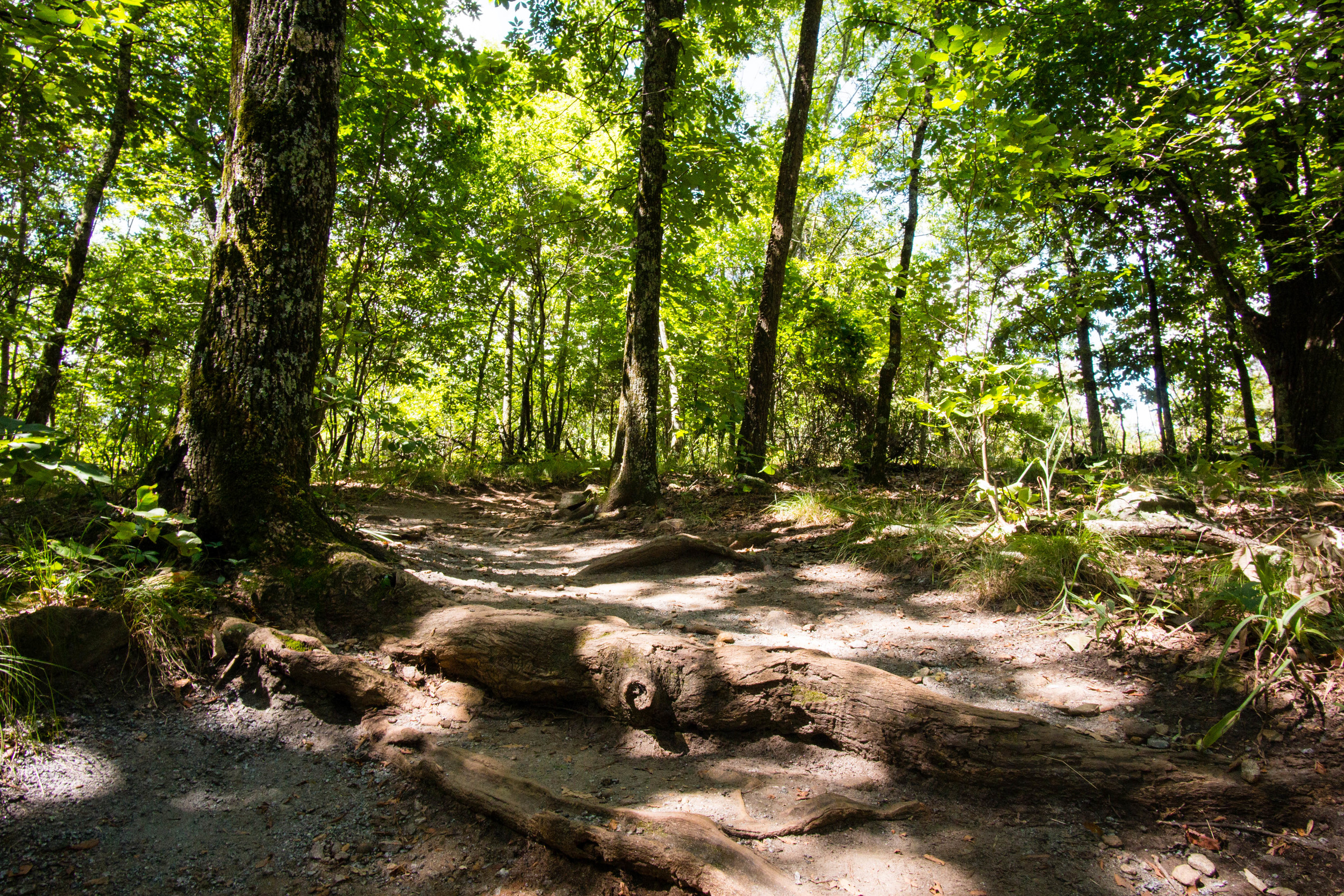
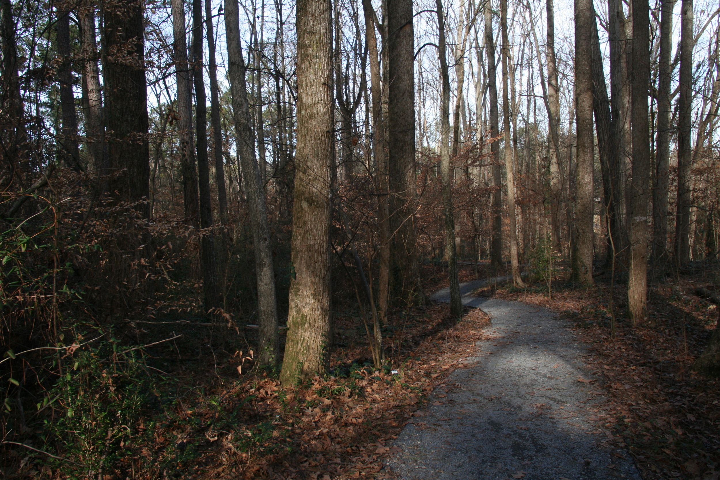
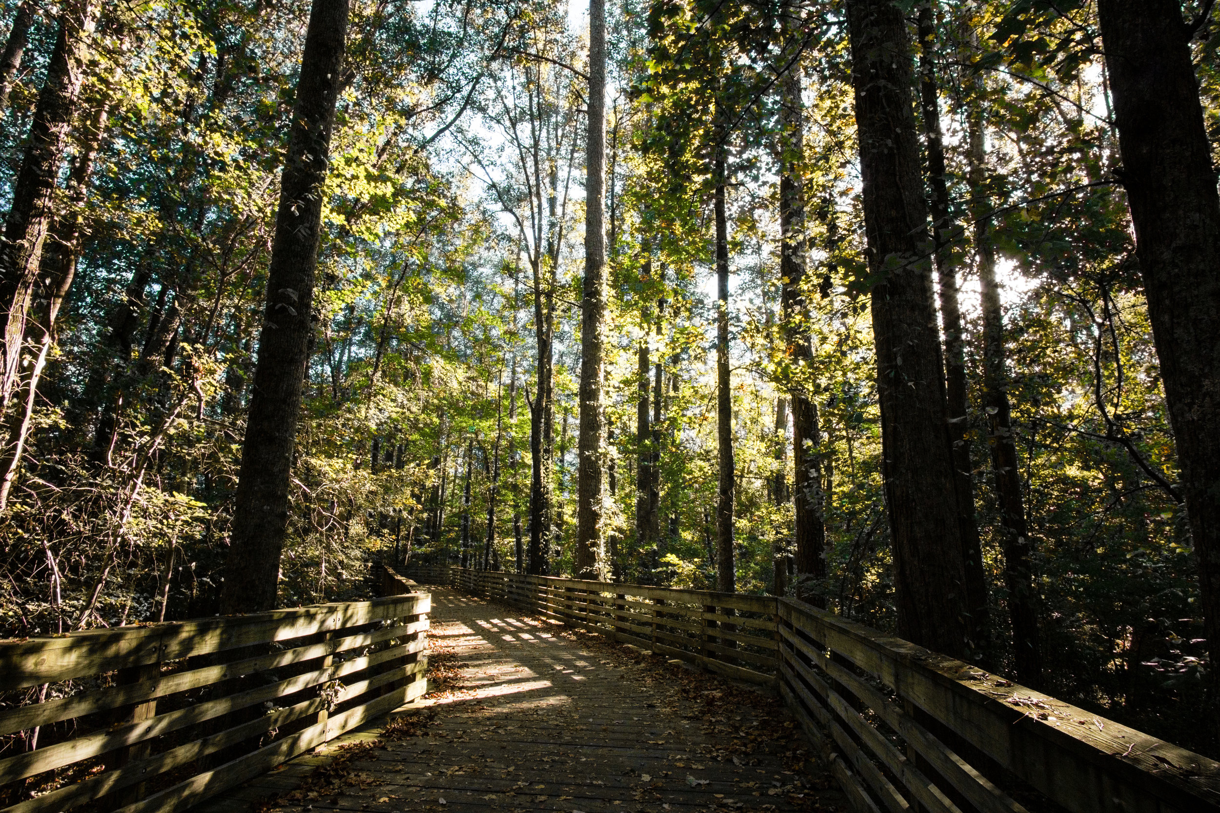
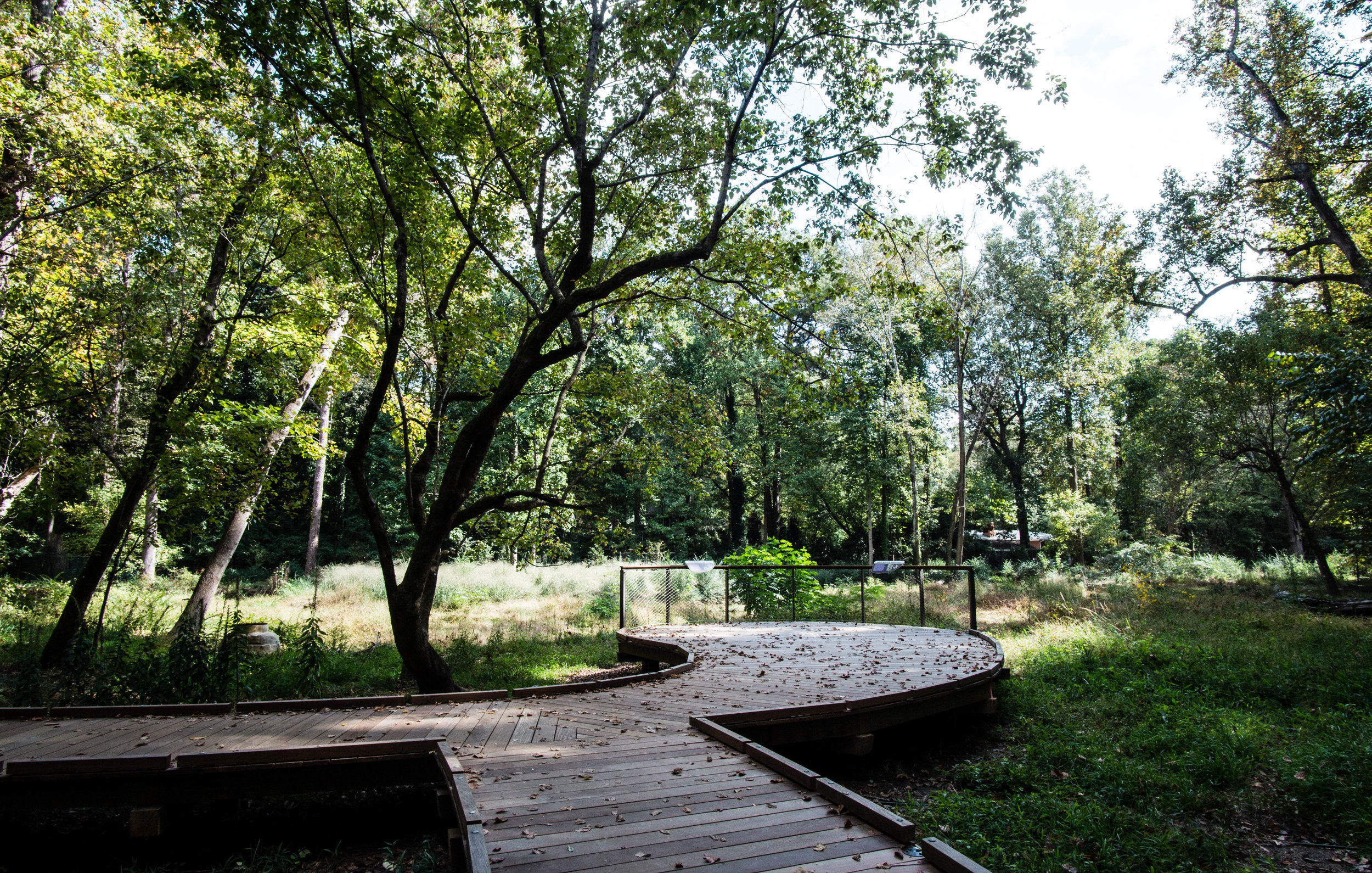
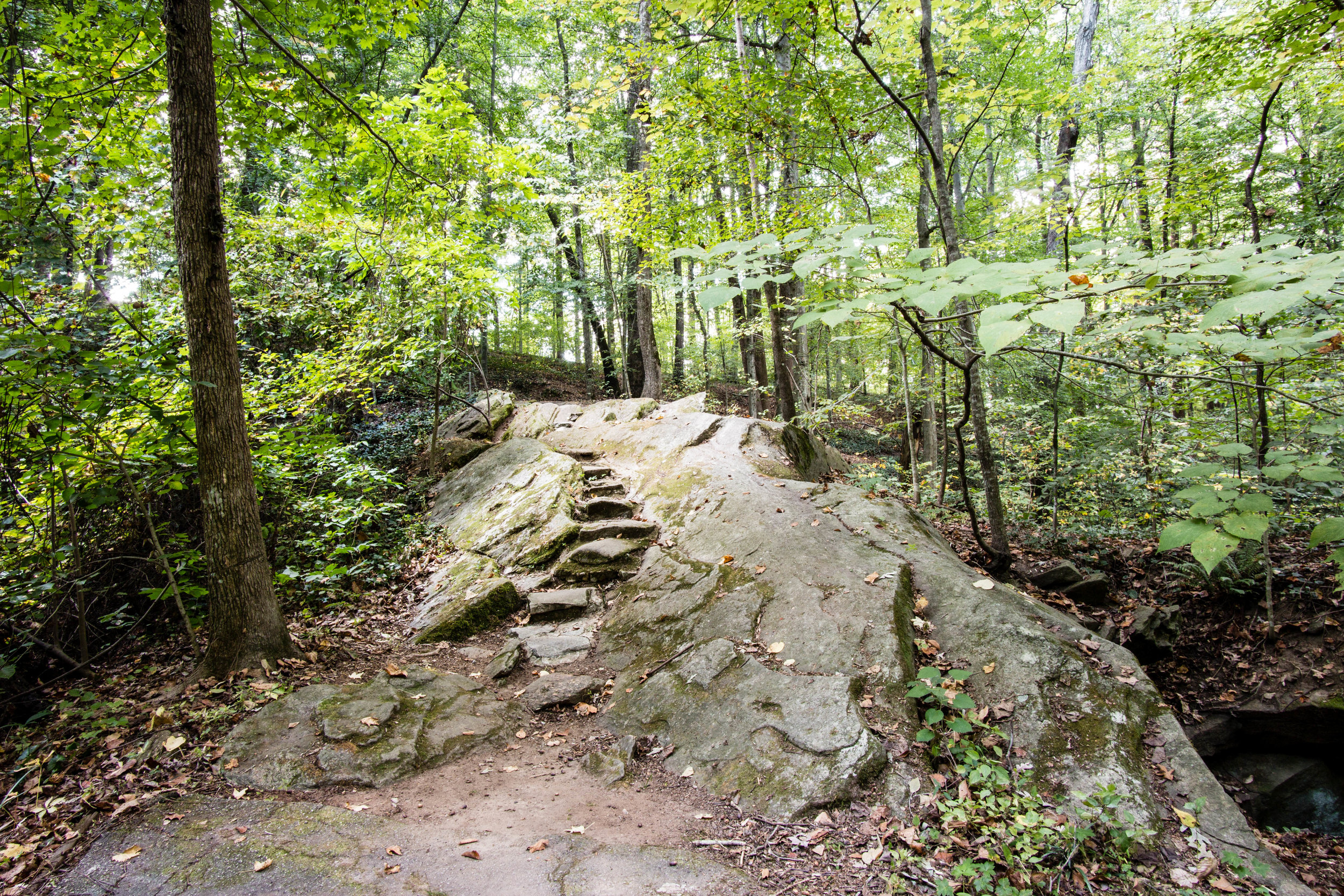
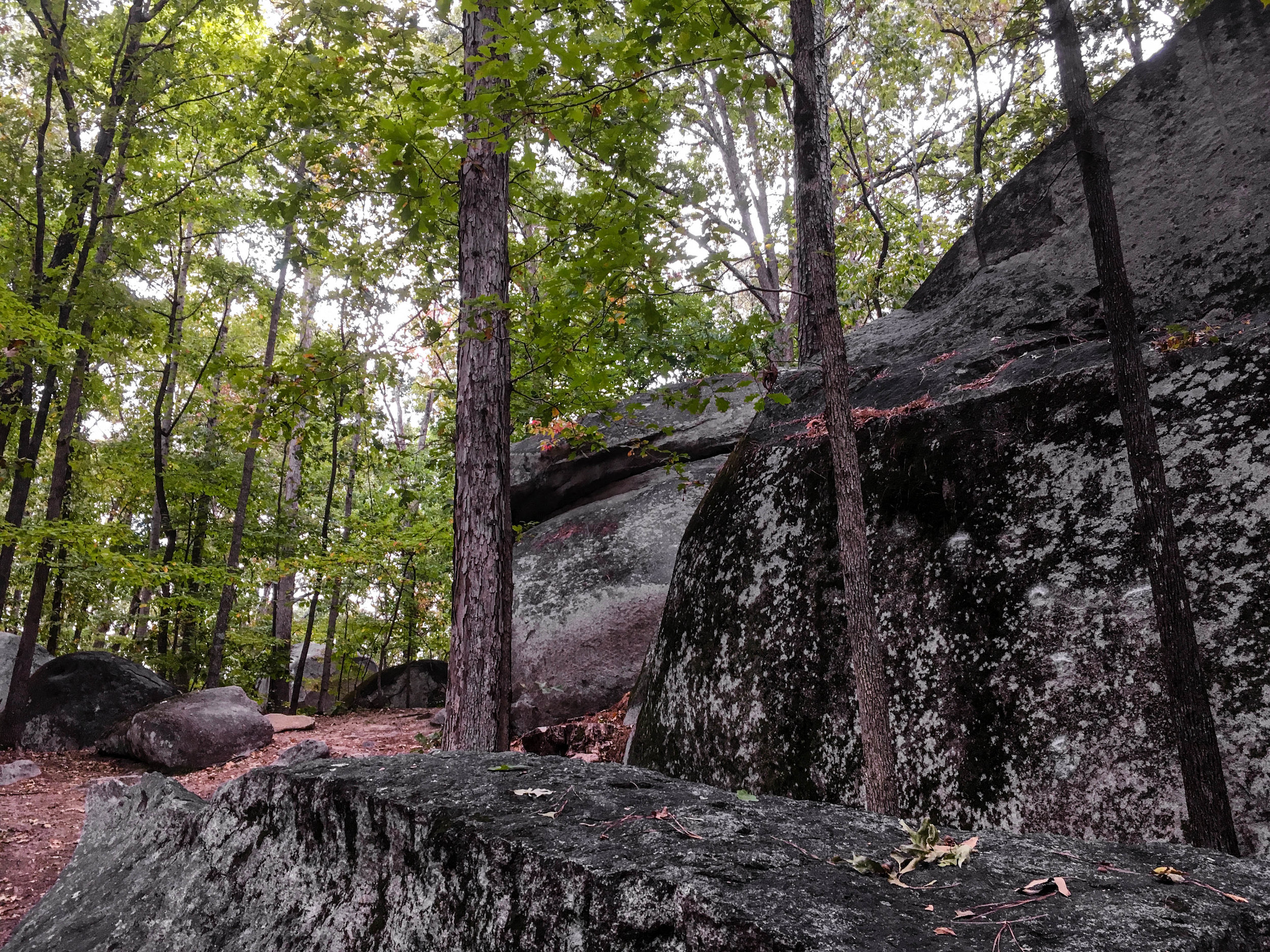
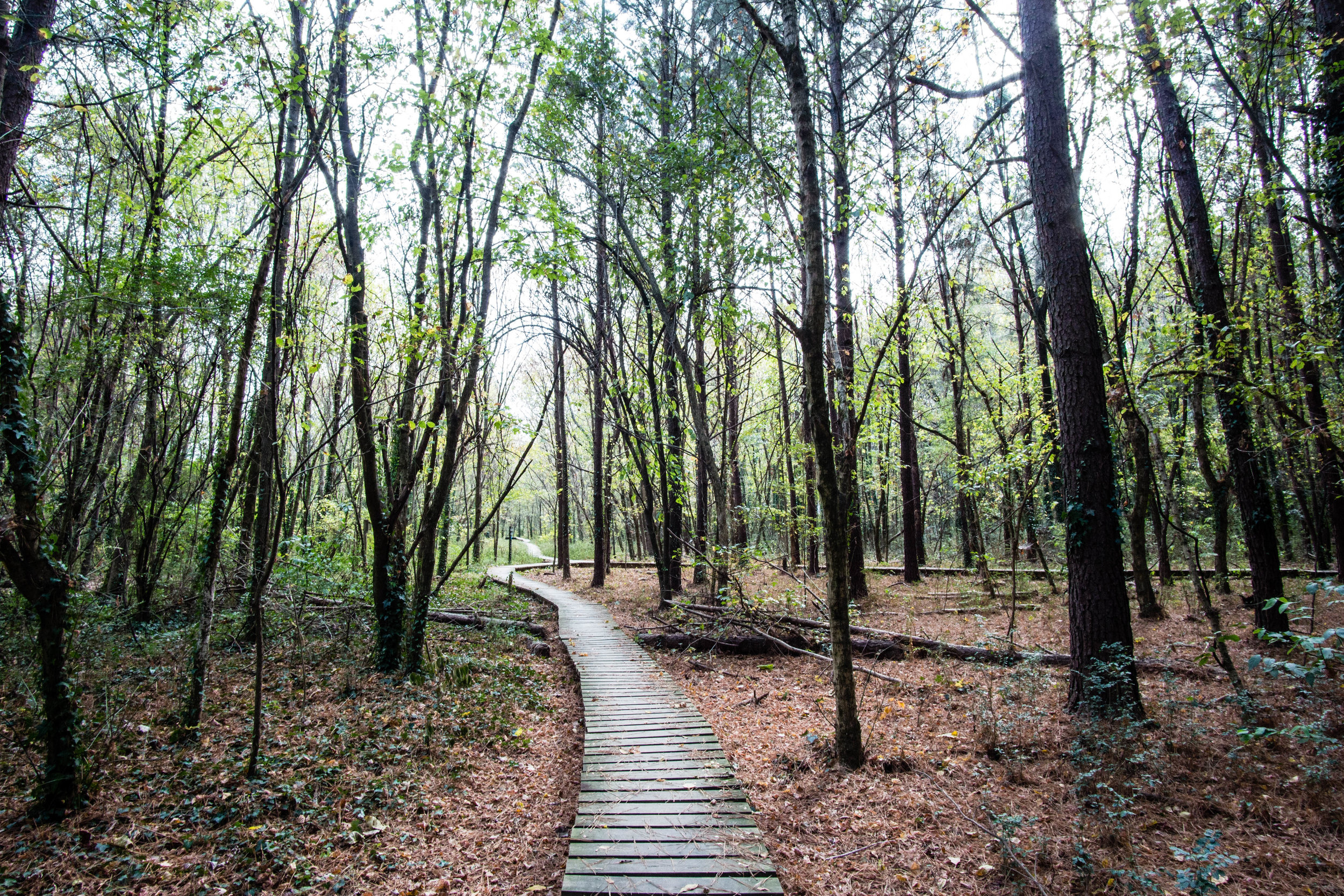
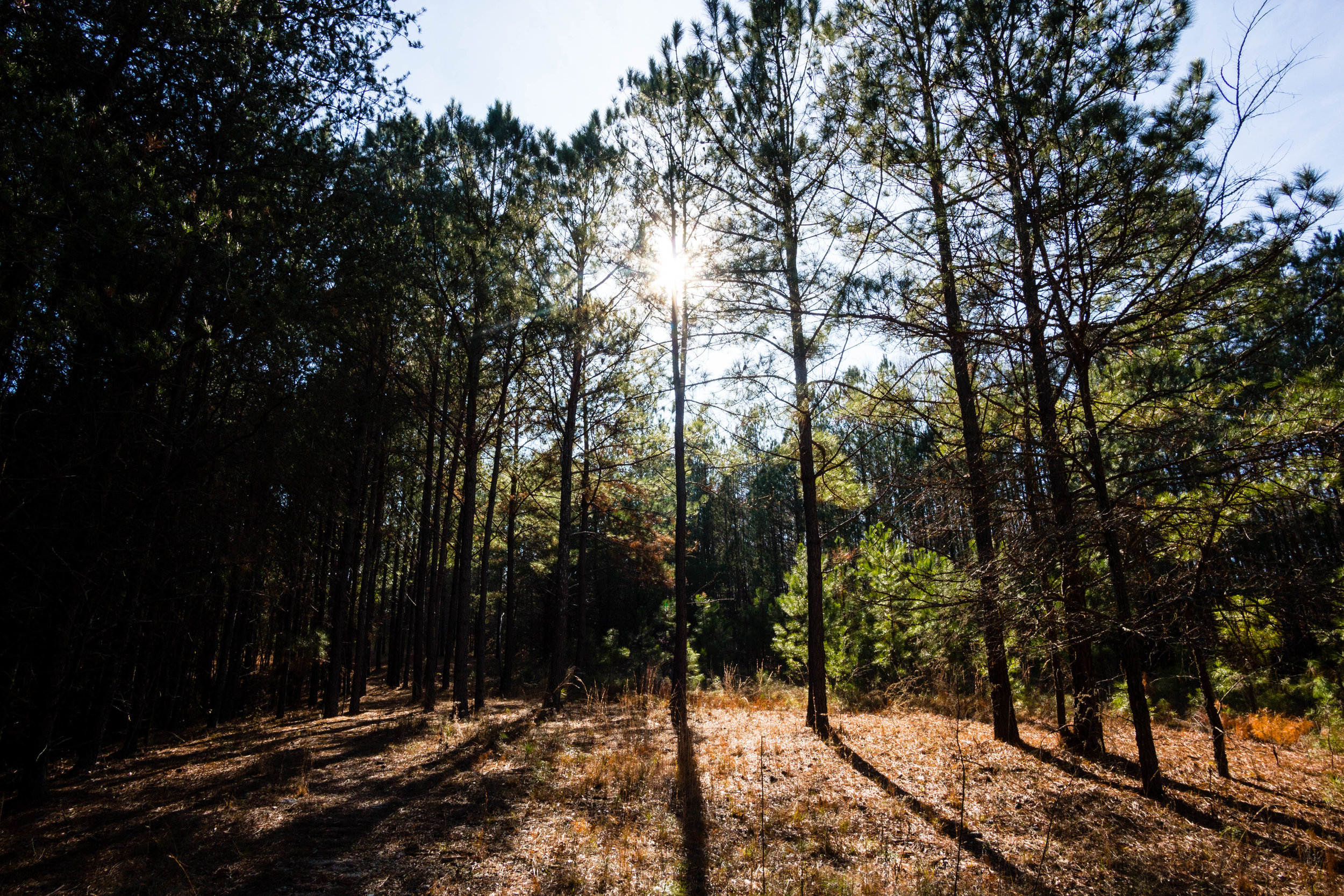
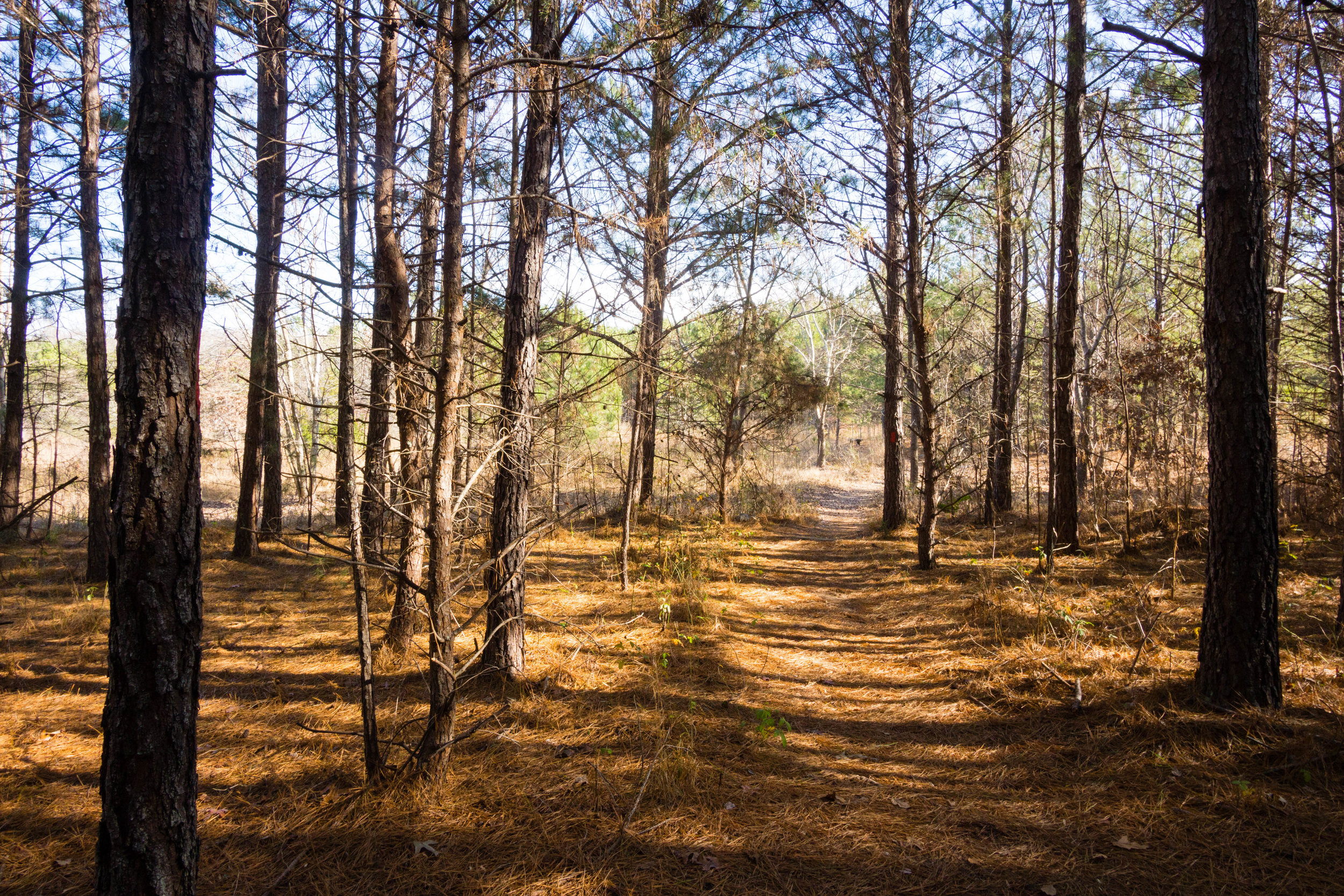
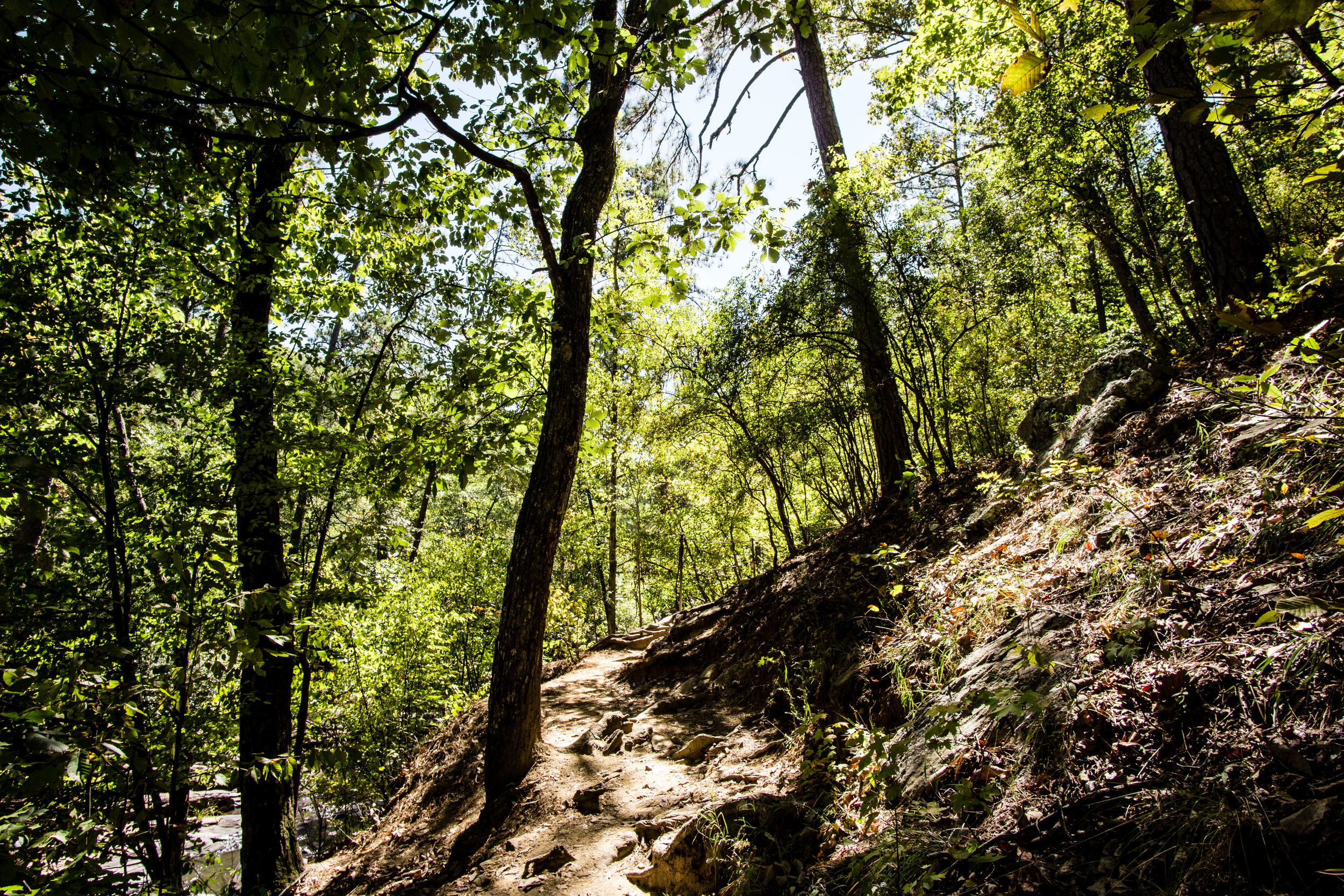
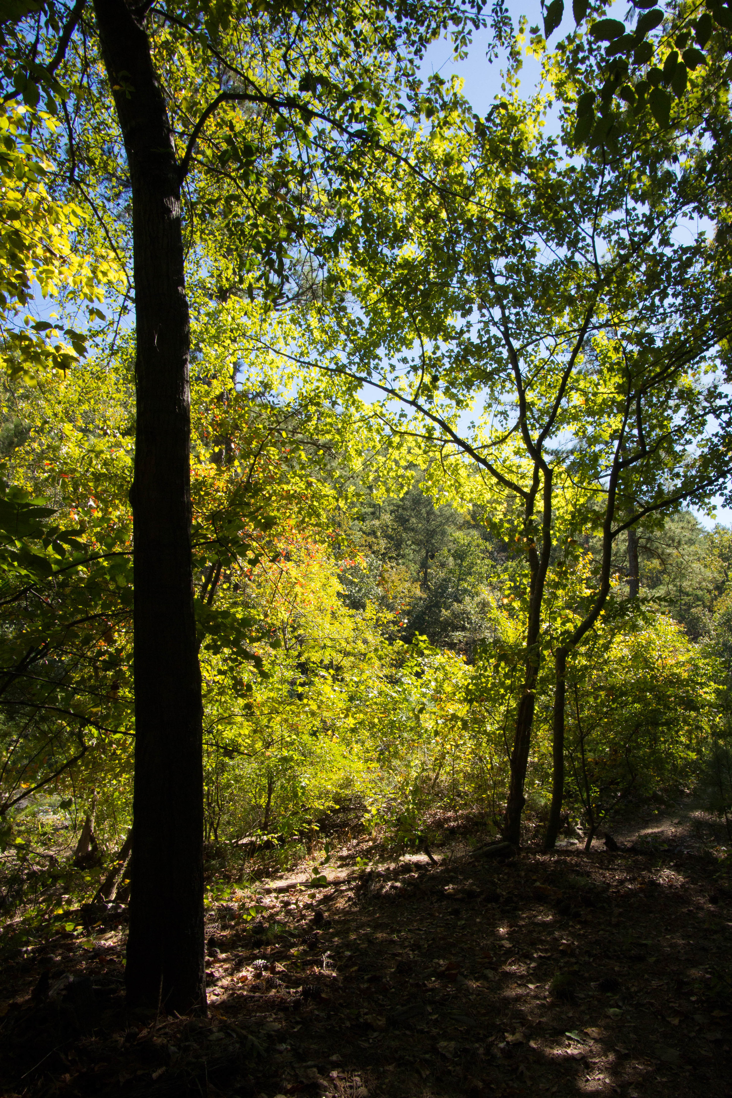
Trail surface: About the first 100 yards of the Big Trees Loop trail (starting at the main trailhead) is paved; the rest of the trails are natural surface
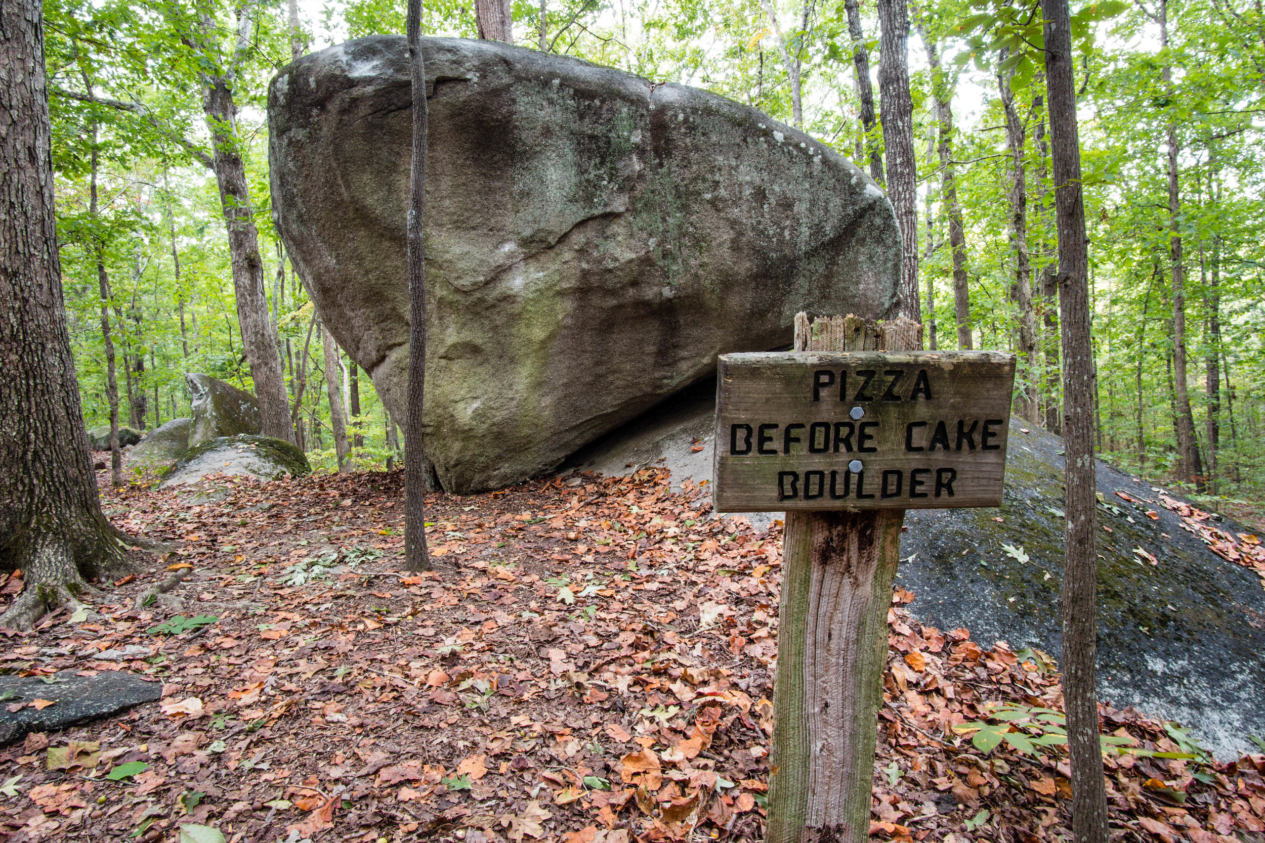
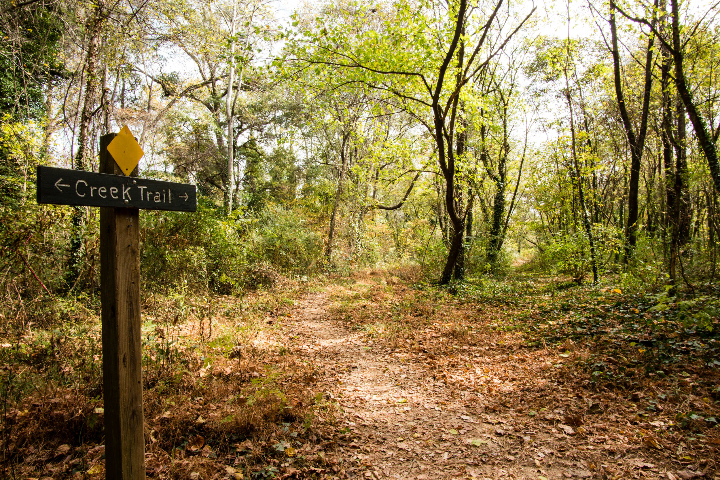
Blazes/markings: Most of the intersections are marked with trail names
Geocaching: Yes
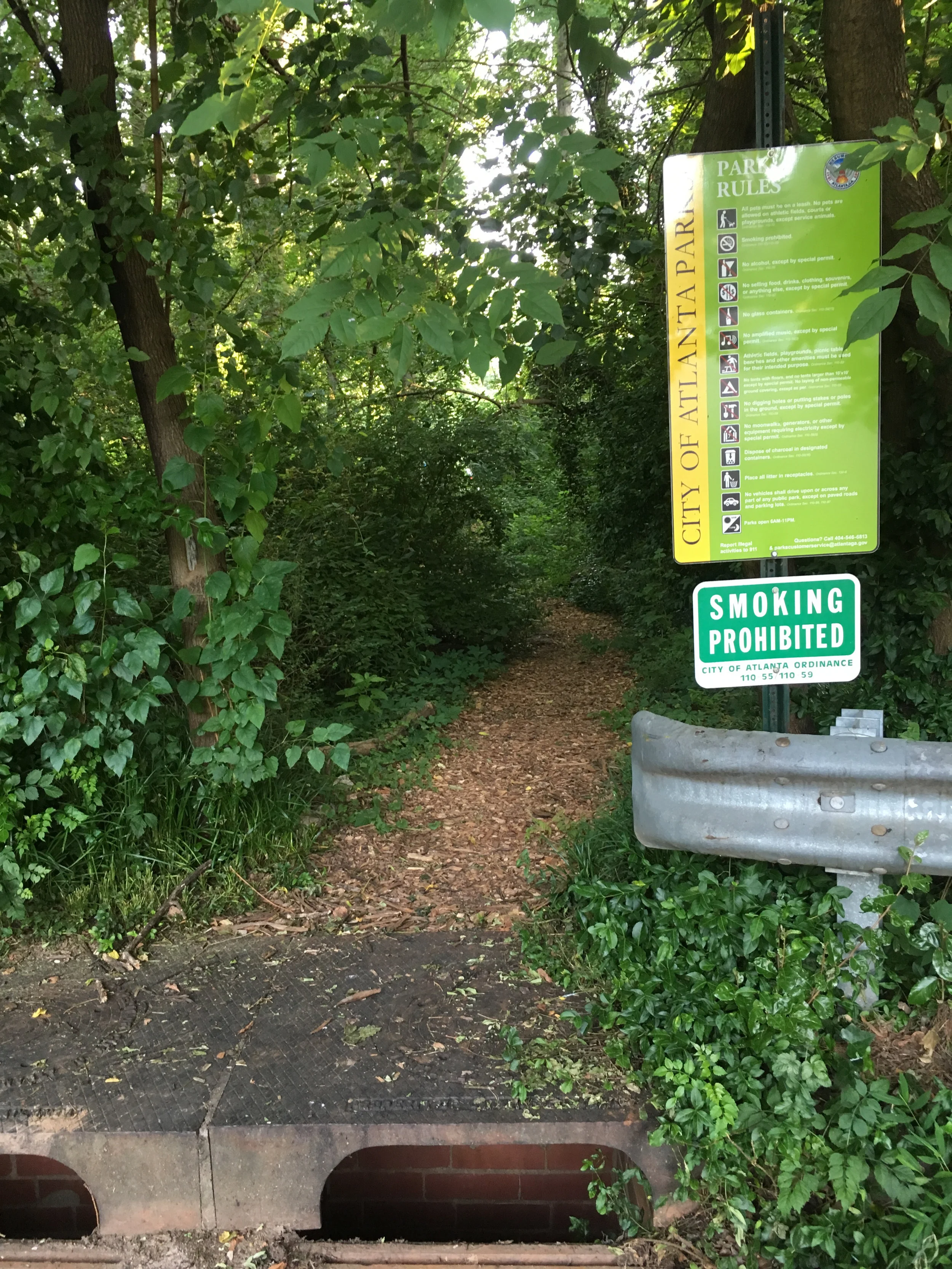
Dogs allowed: Yes, on leash
Guidebook mentions: Chapter 51 in Hiking Atlanta's Hidden Forests (1st edition)
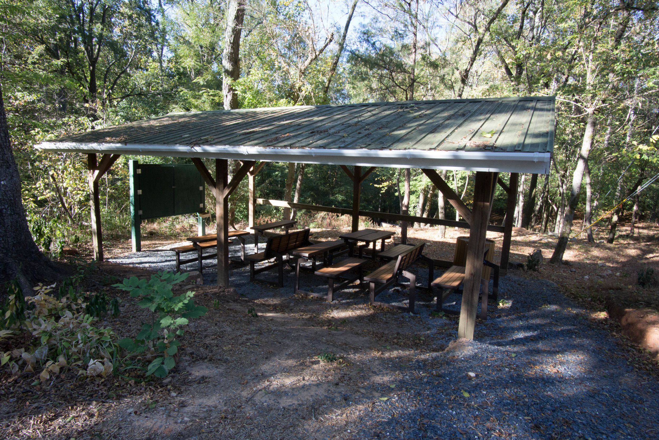
Amenities:
Dog poop station
Restrooms
Water fountains
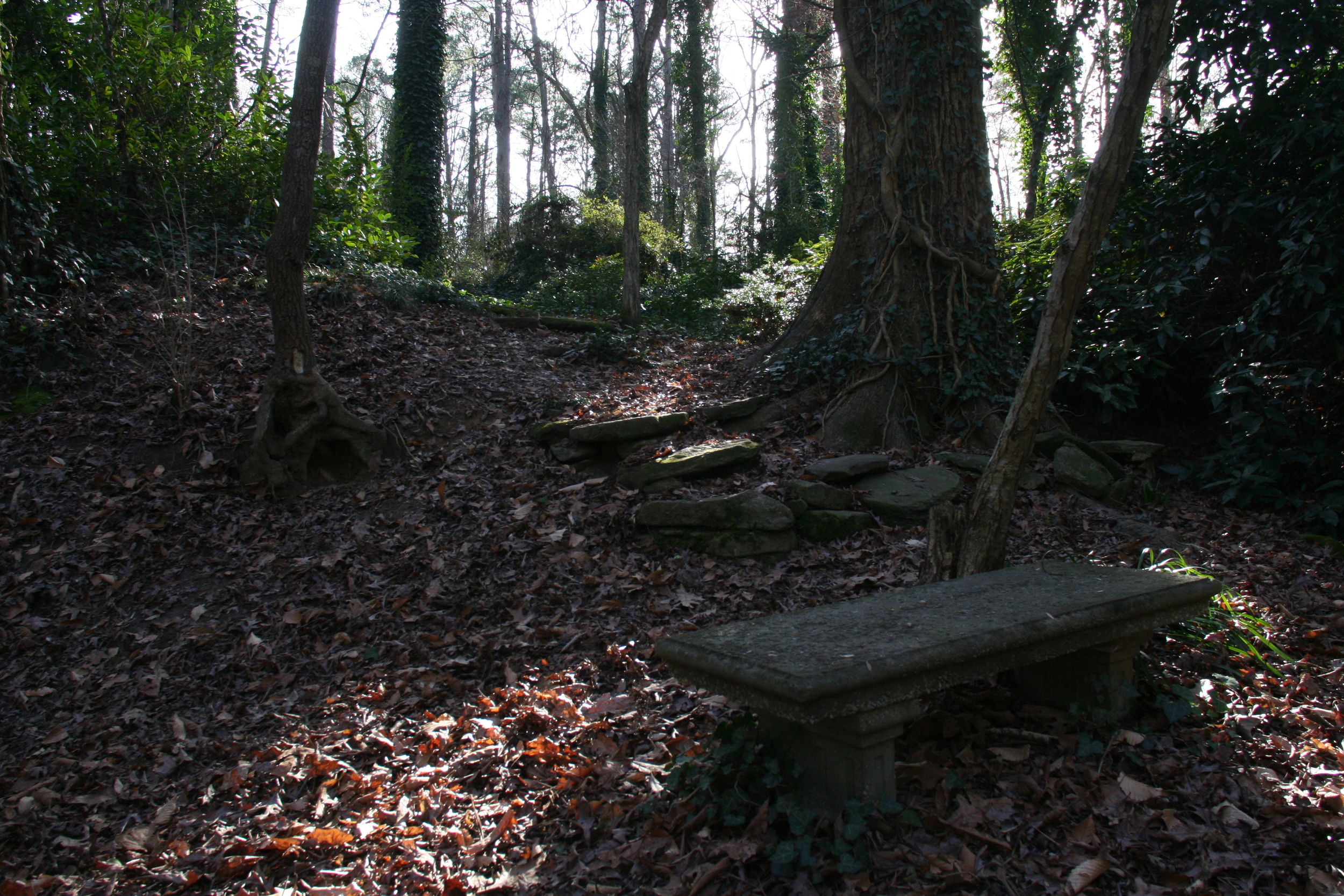
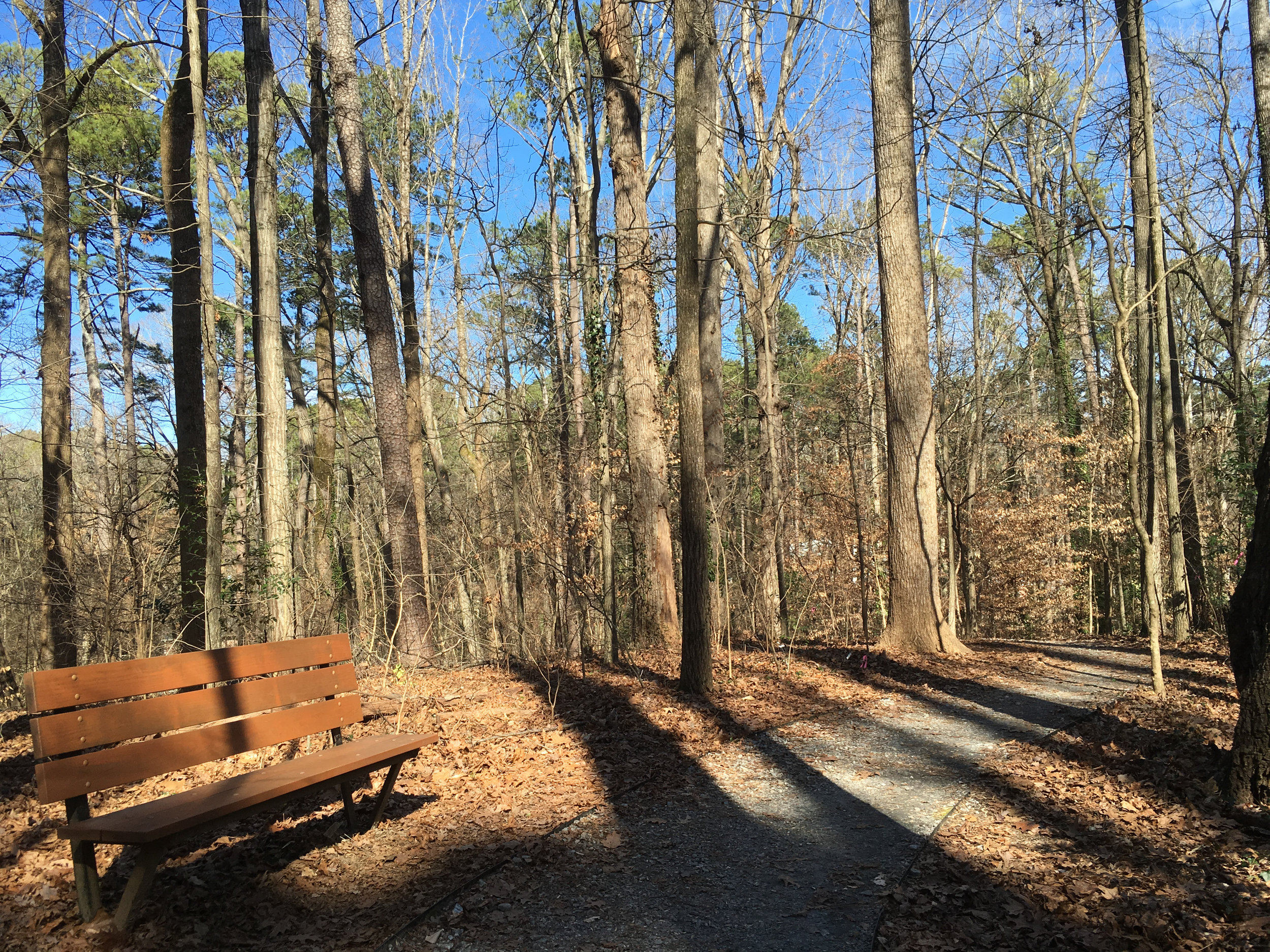
Numerous benches
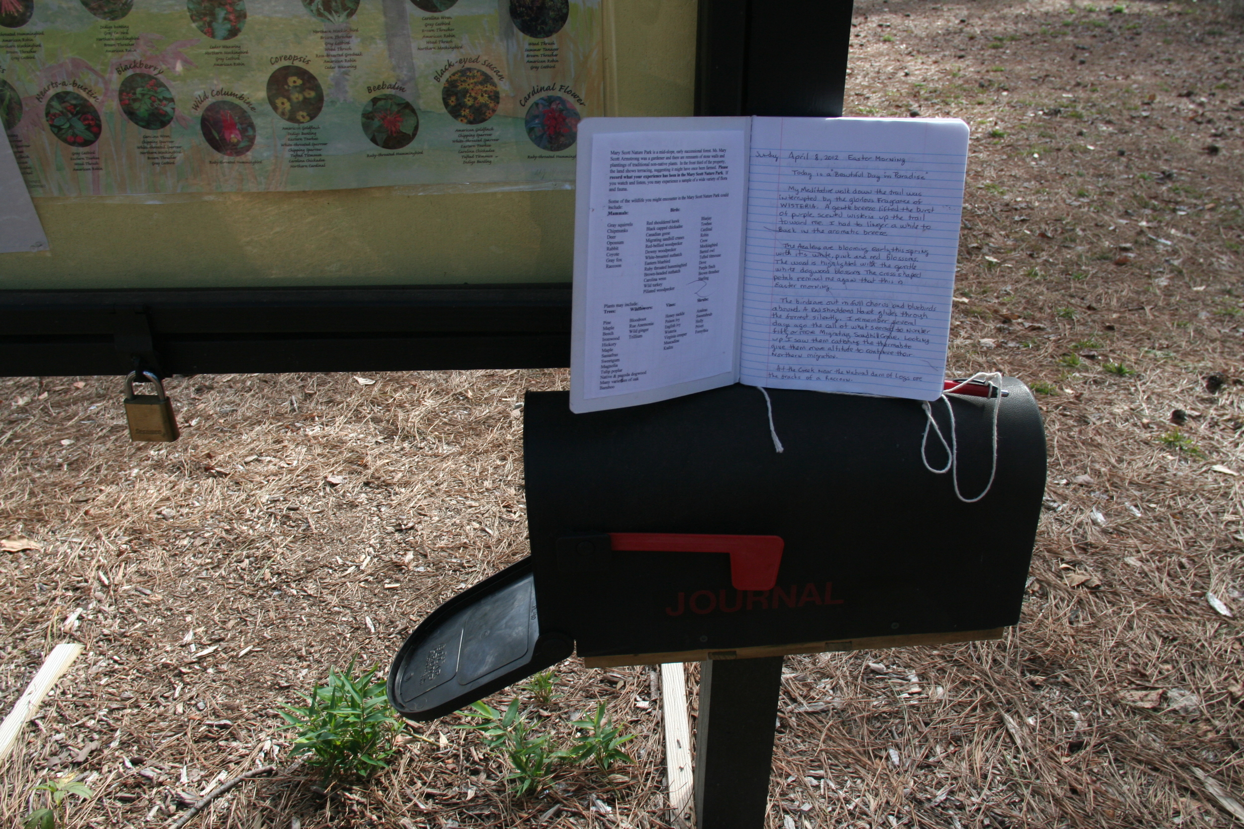
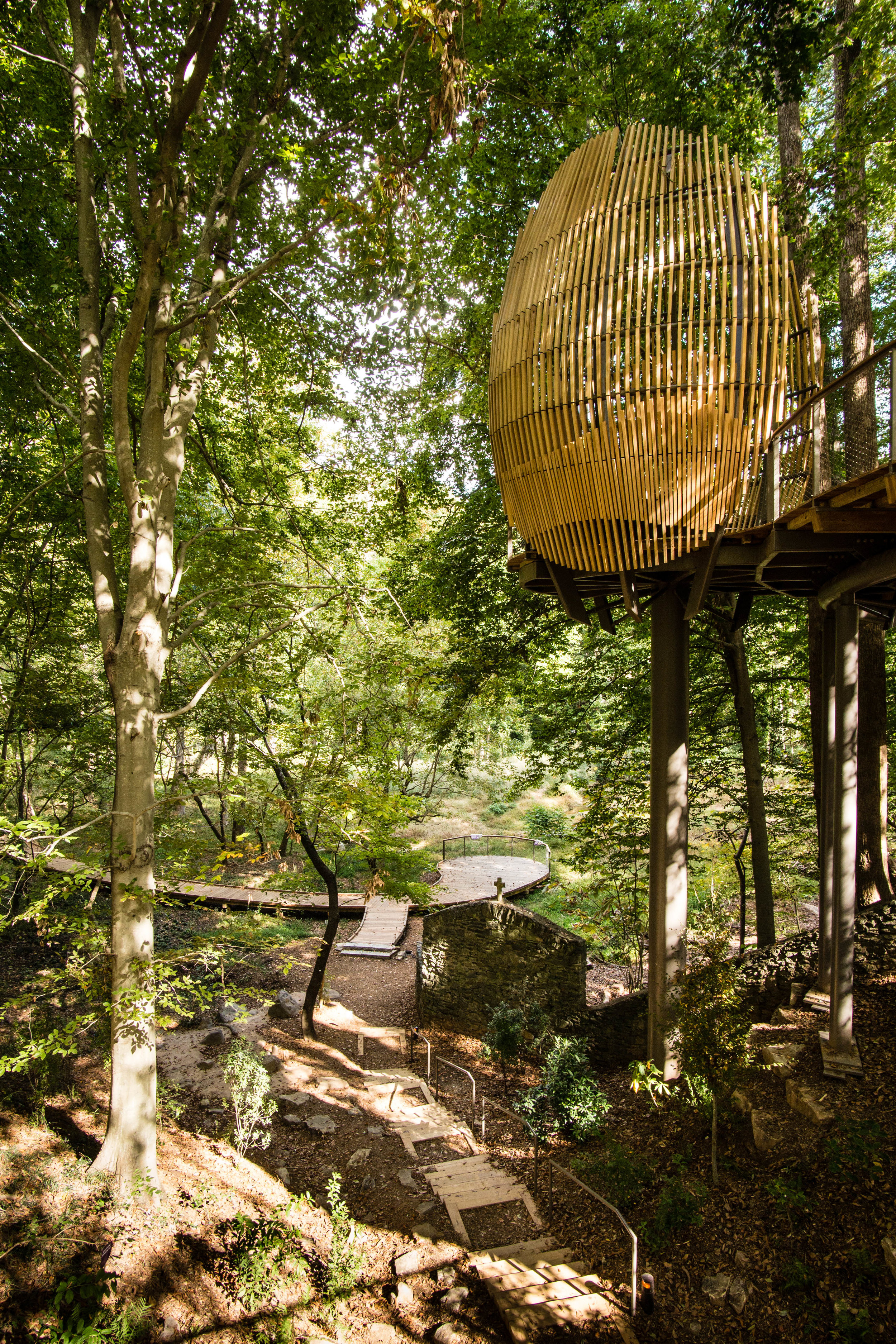
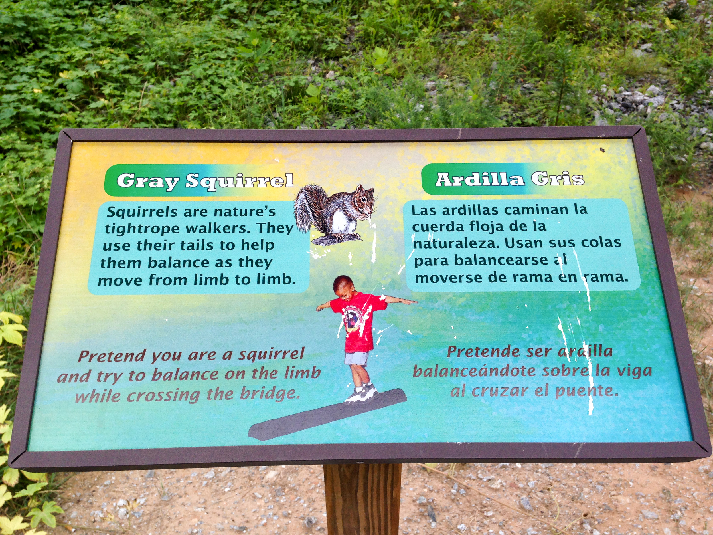
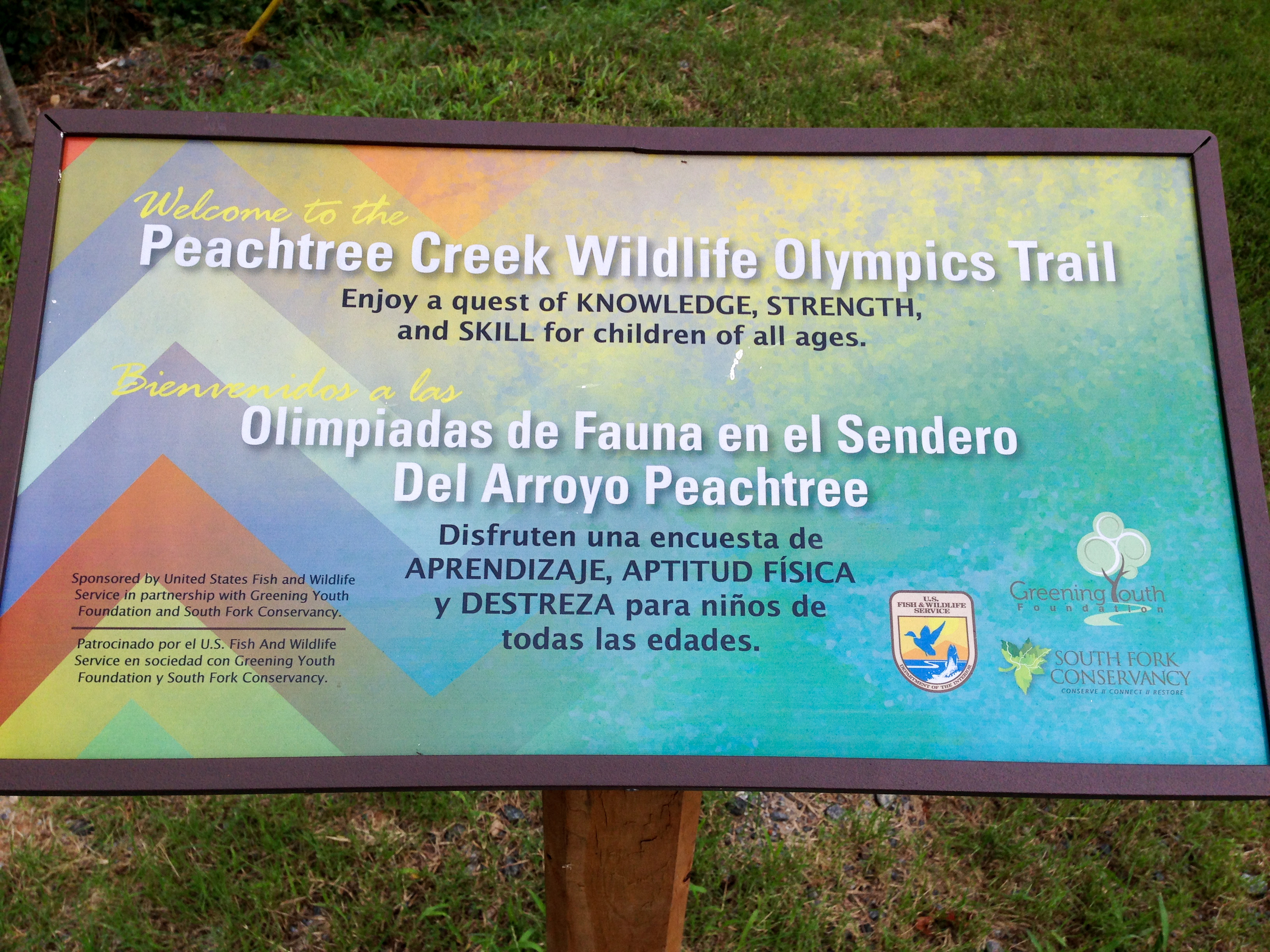
Interpretive trail numbers (info here)
Nearby amenities/conveniences:
There is a grocery store, drug store, and a couple restaurants half a mile south of the park, at Roswell Rd & Trowbridge Rd.
Links:


More photos on Flickr:

From around the web
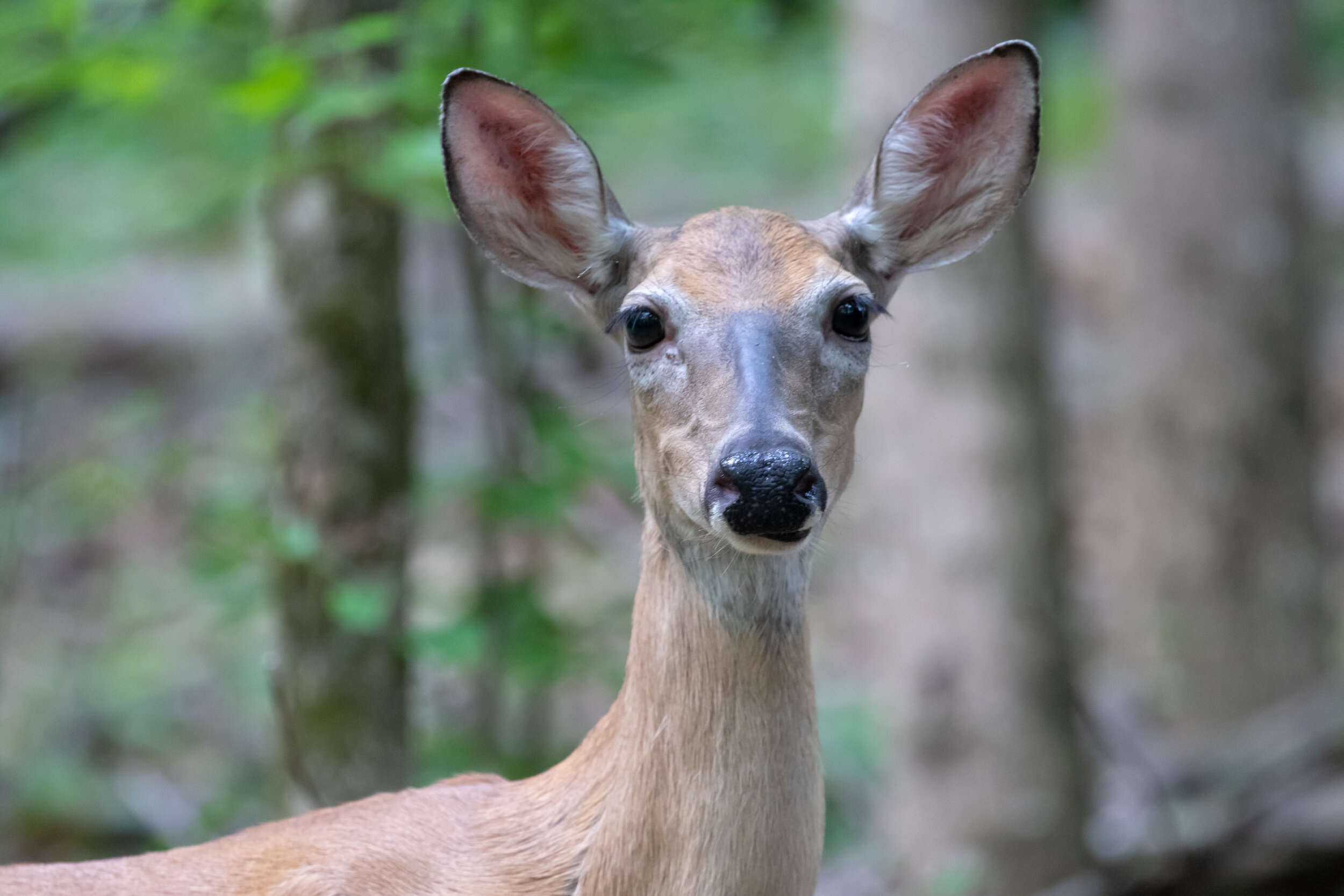
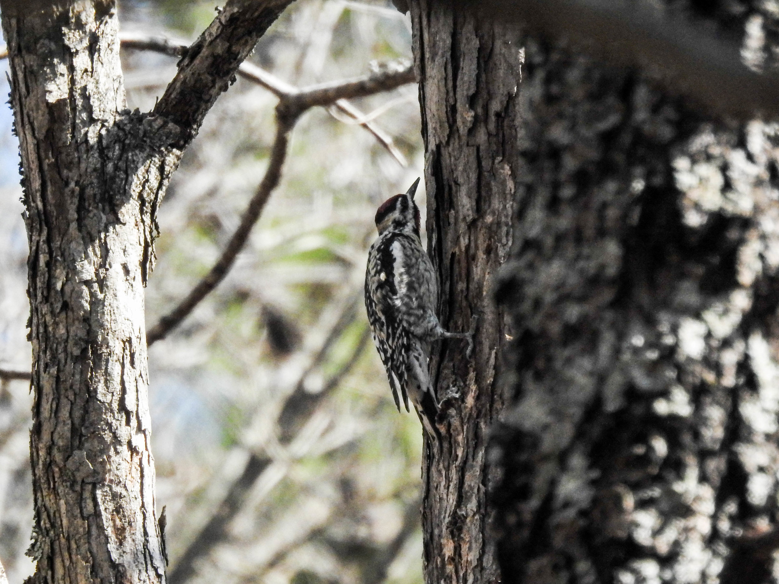
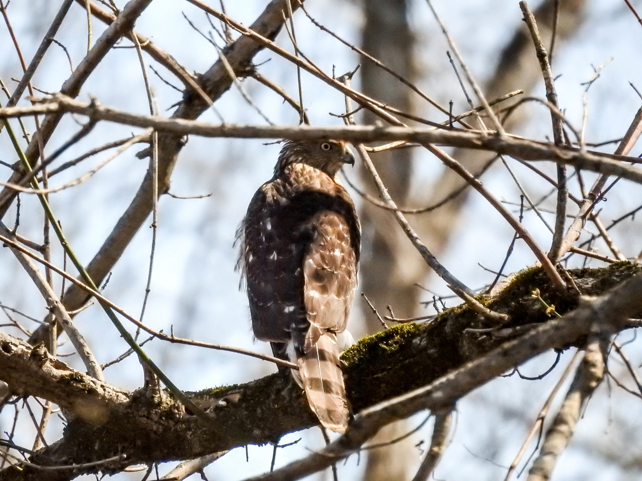
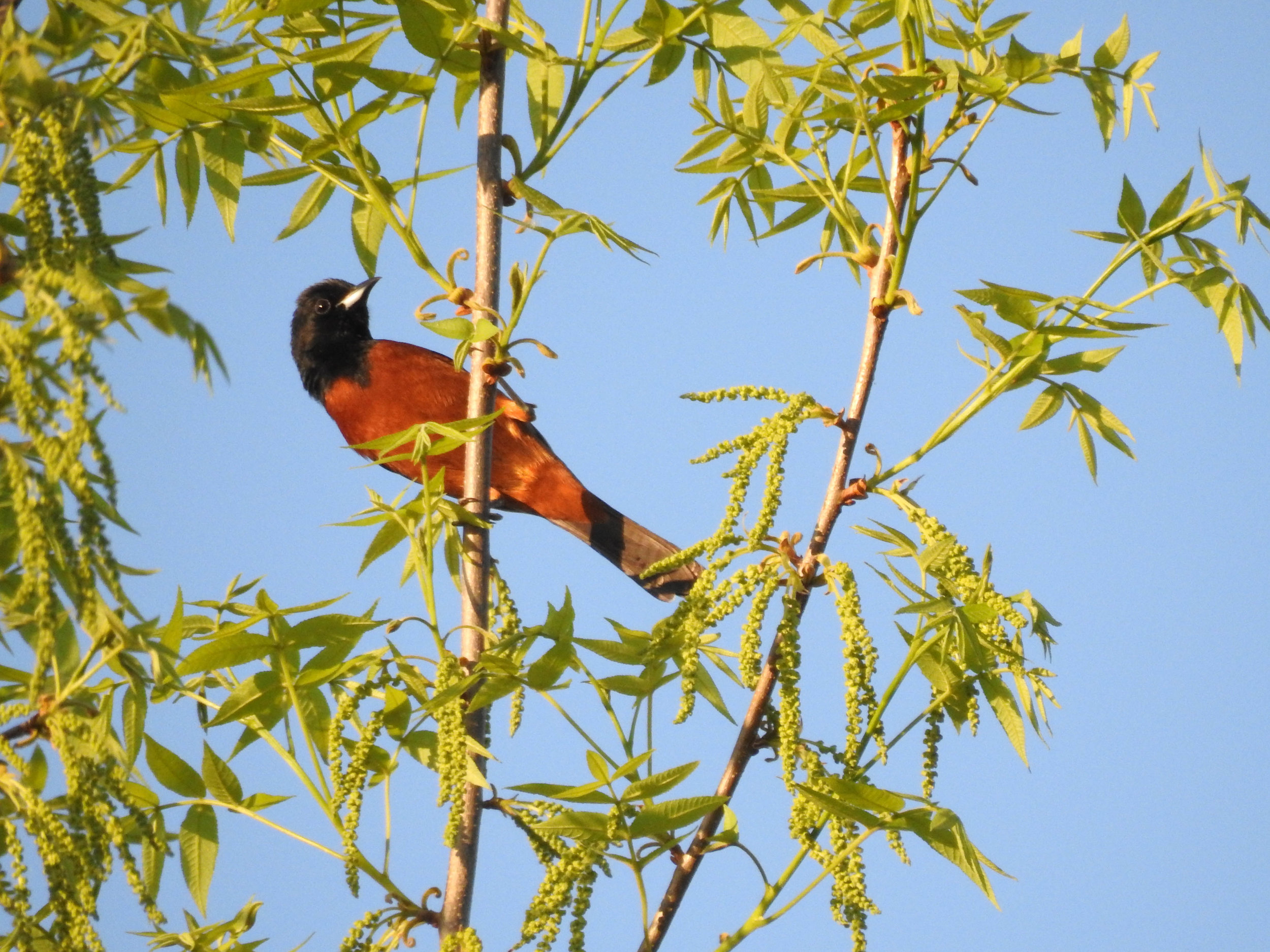
Recent iNaturalist observations
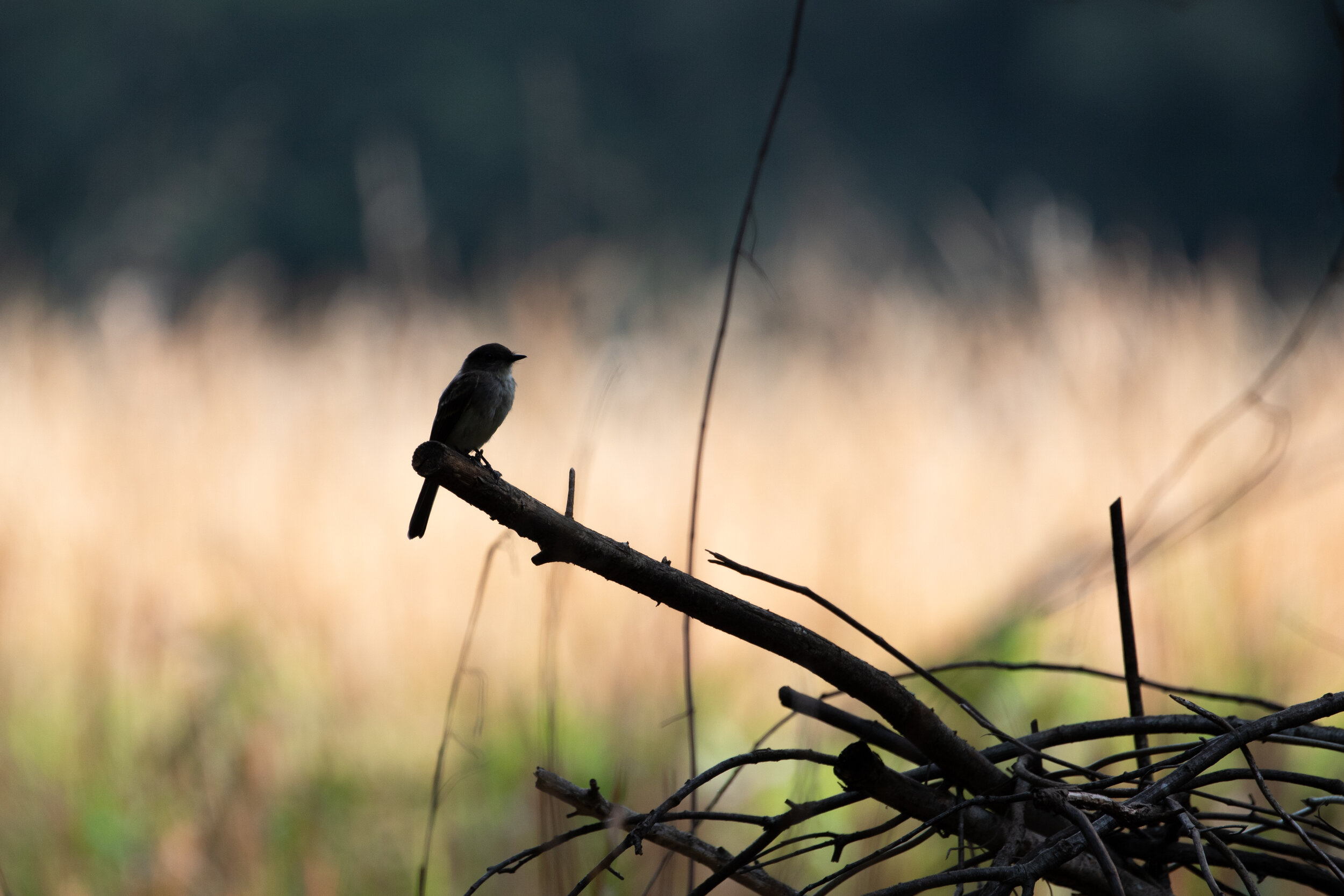
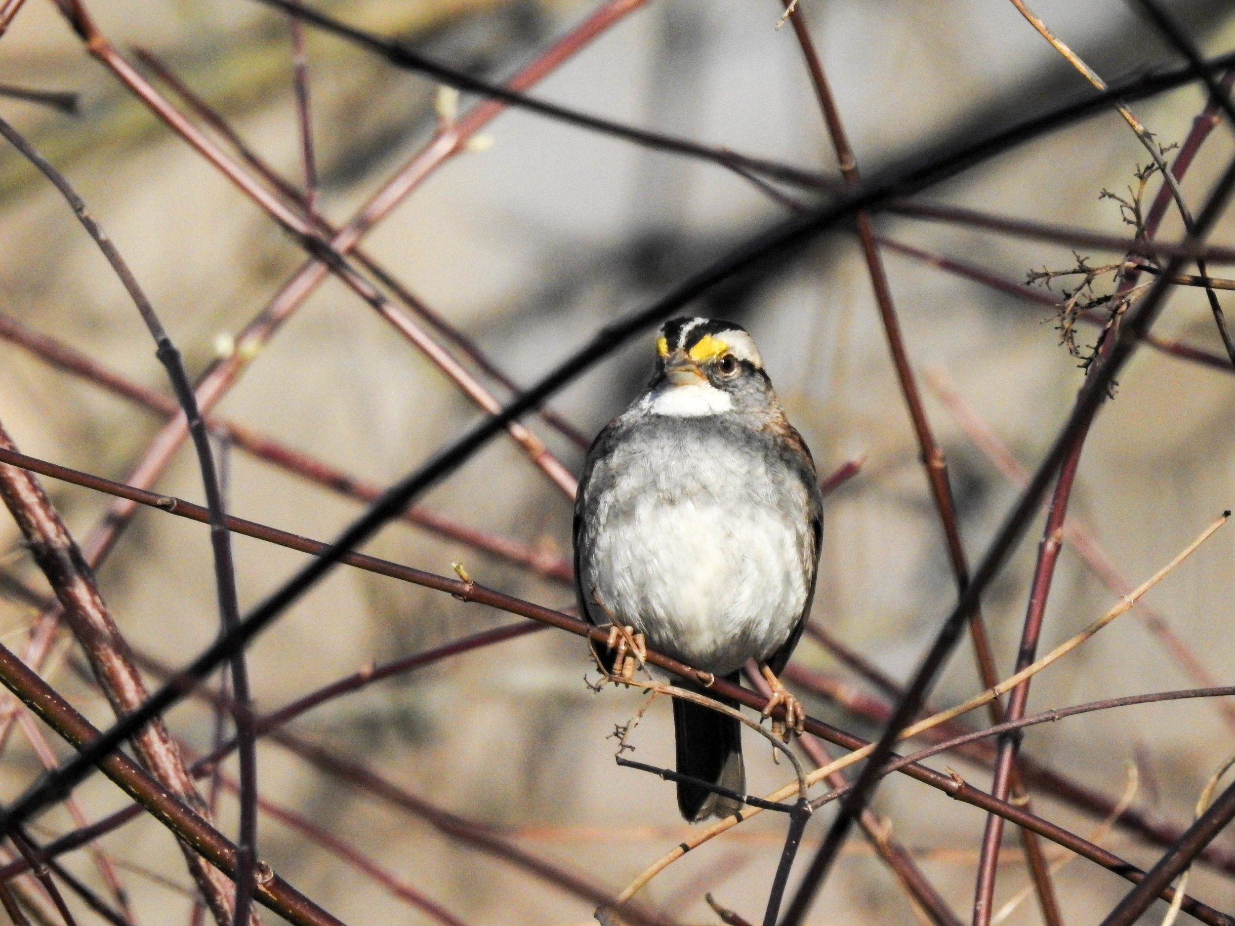
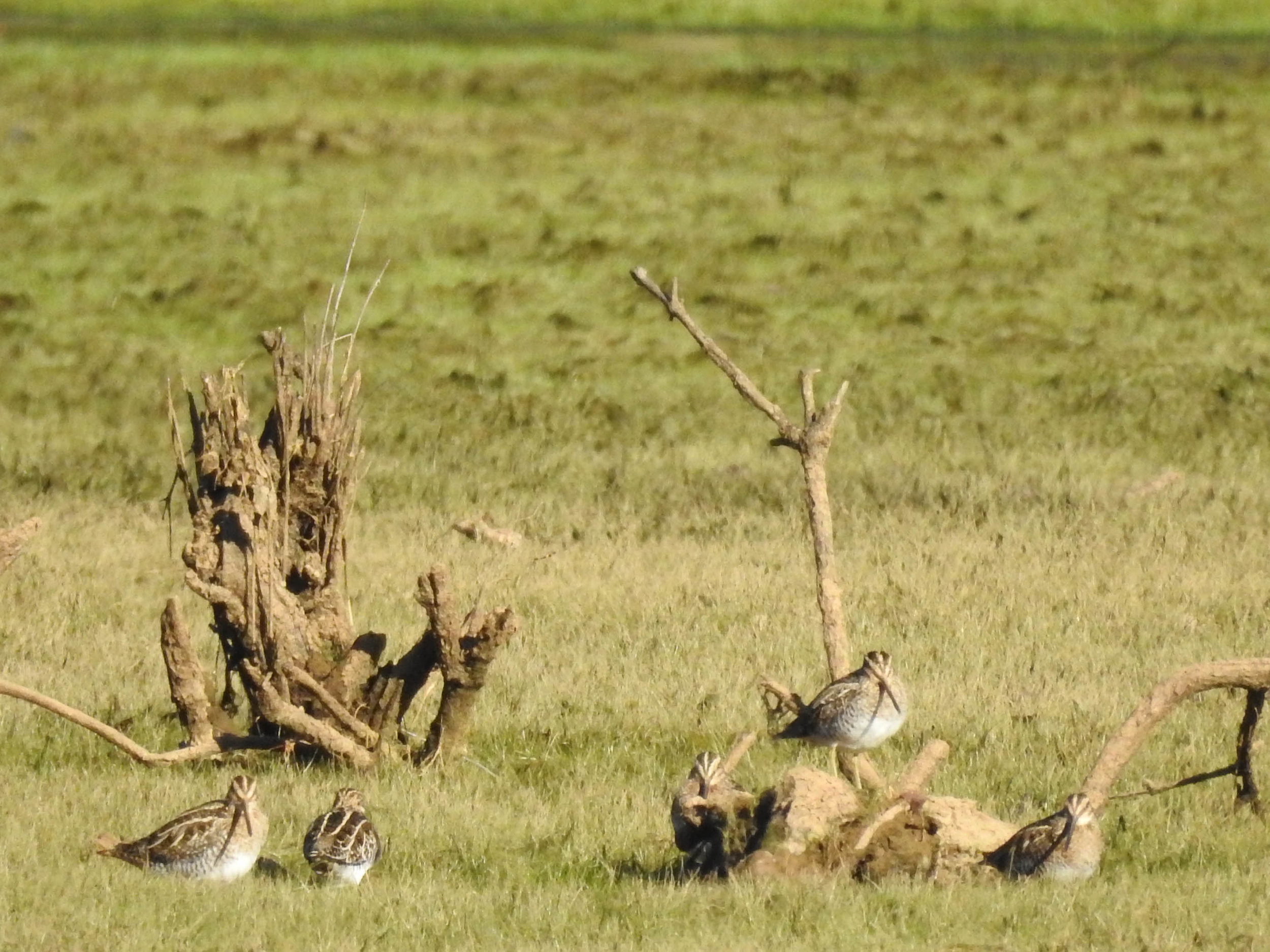
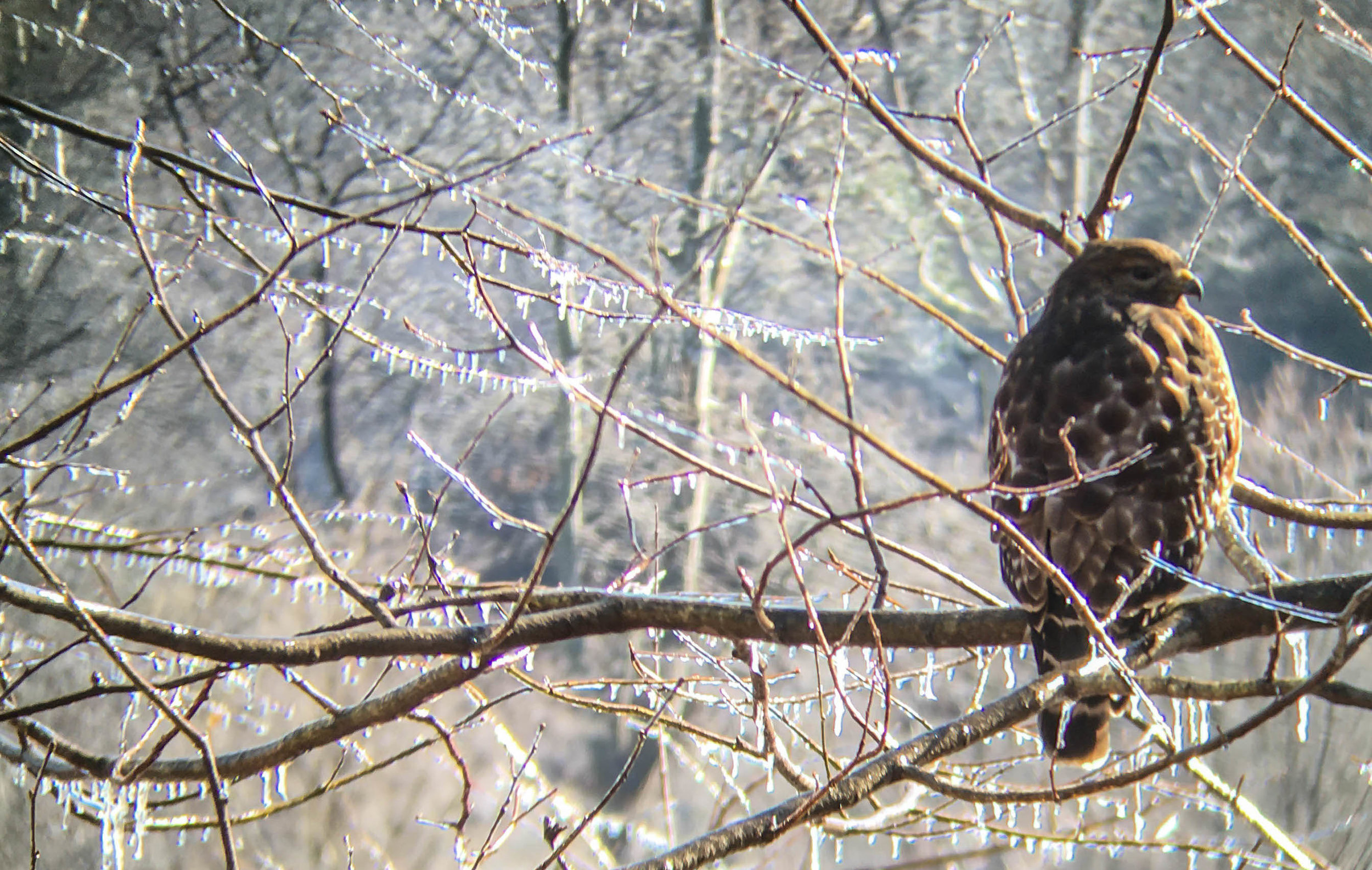
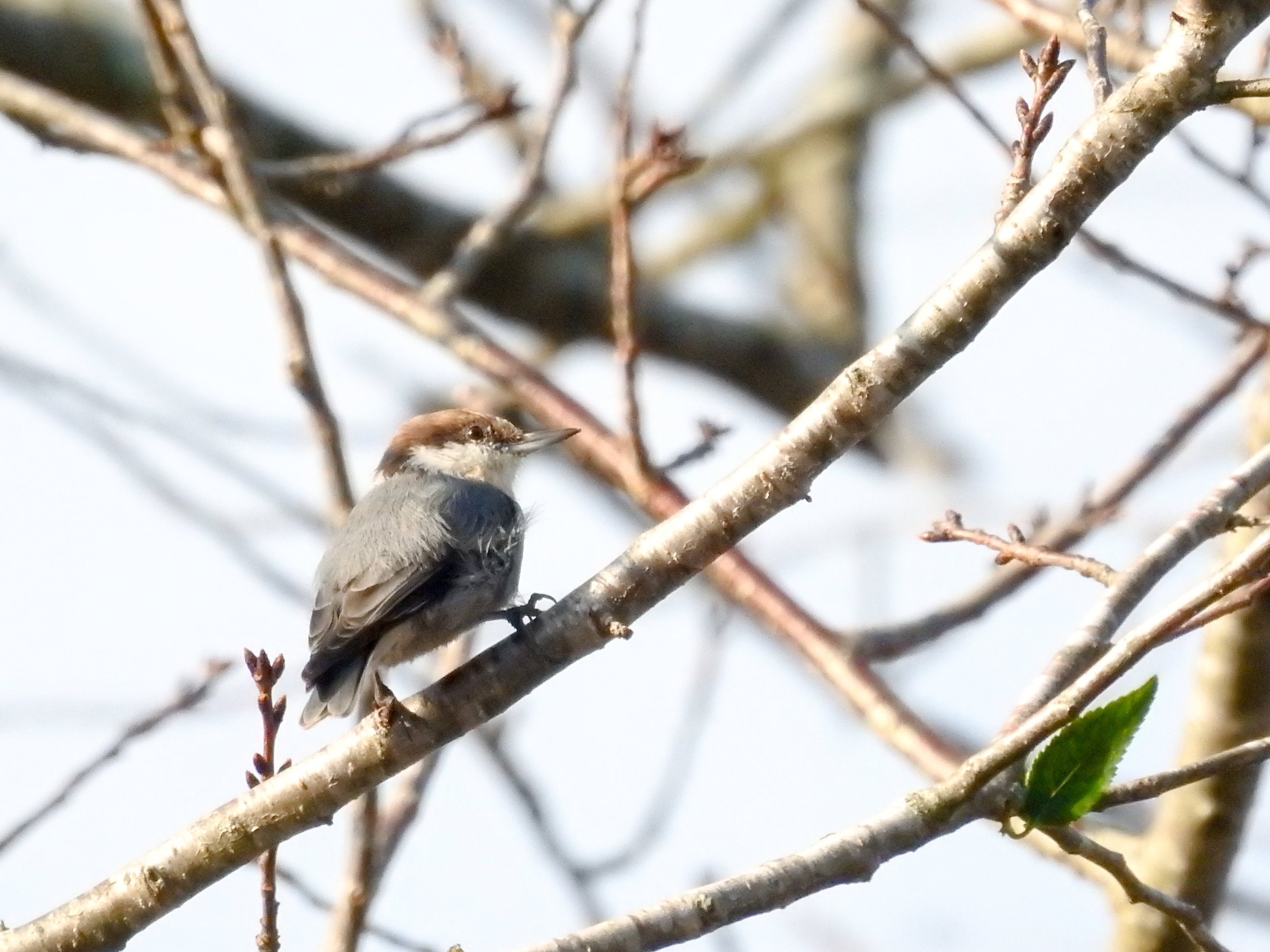
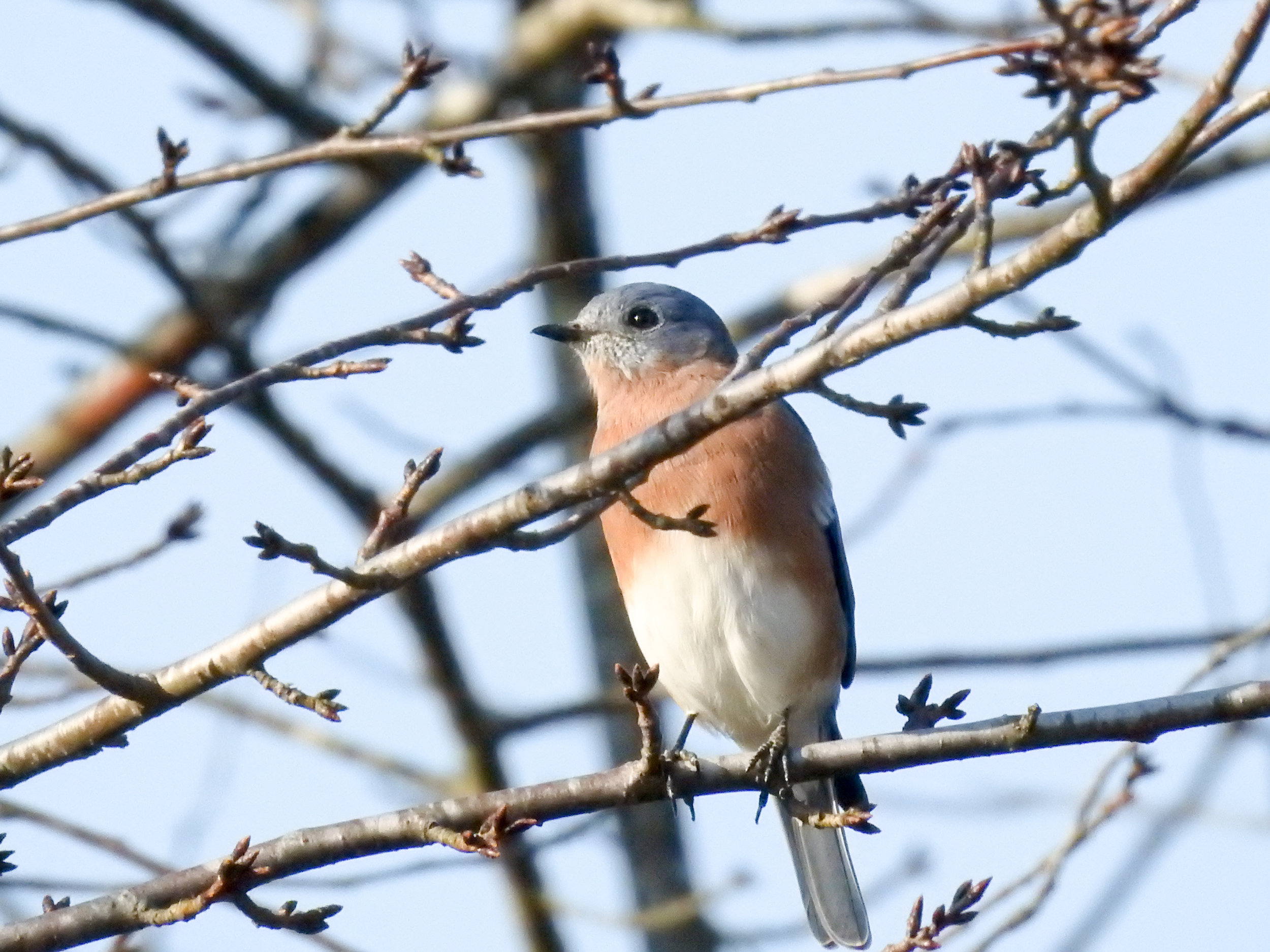
Random eBird sightings from the last 30 days
Good to combine with:


Updated October 25, 2016, October 28, 2018, & August 14, 2021