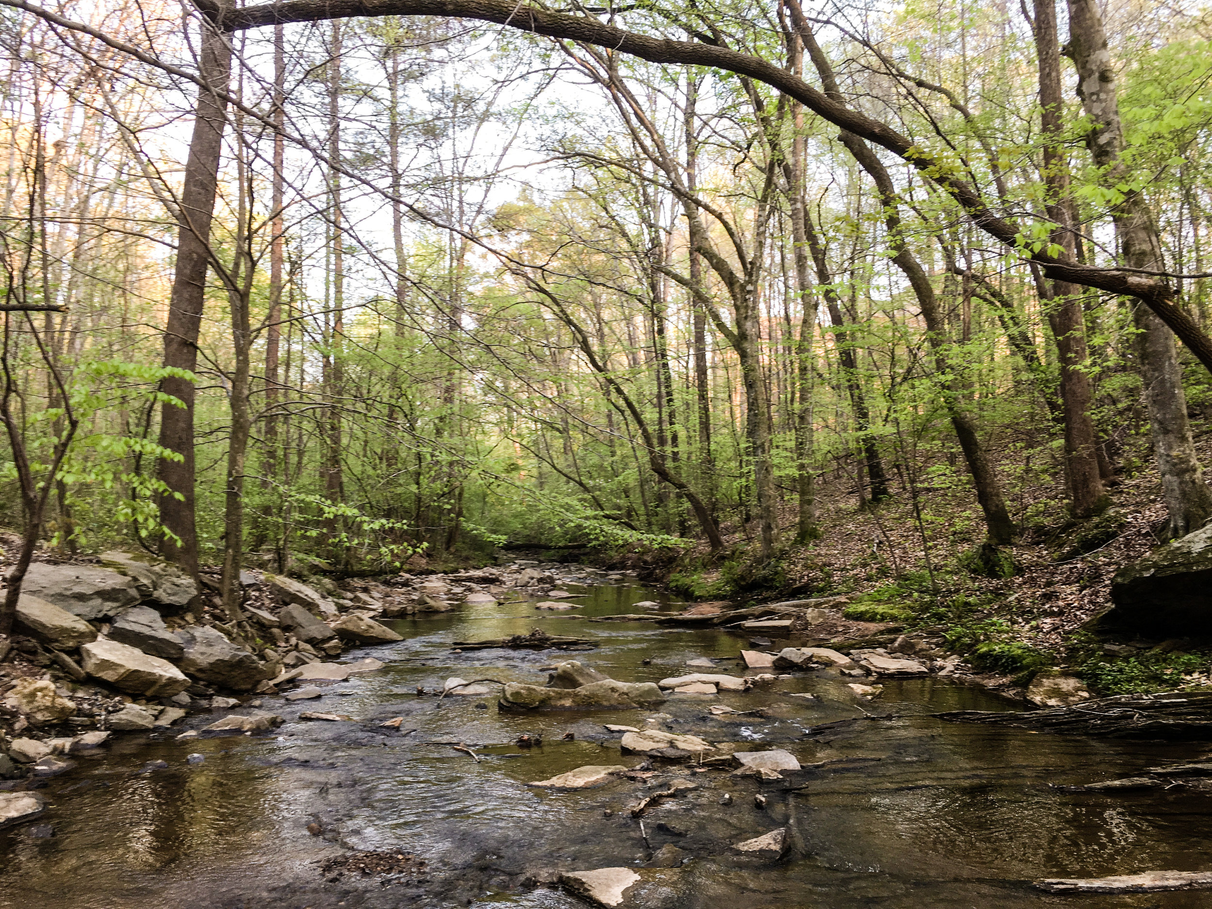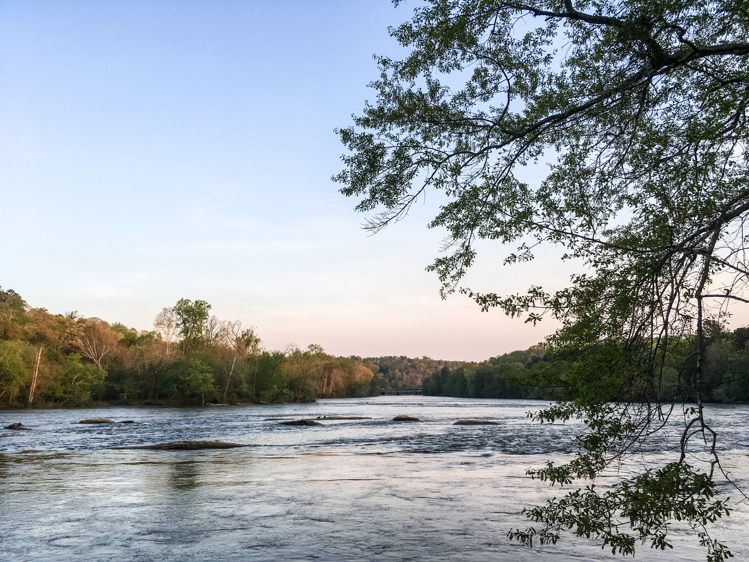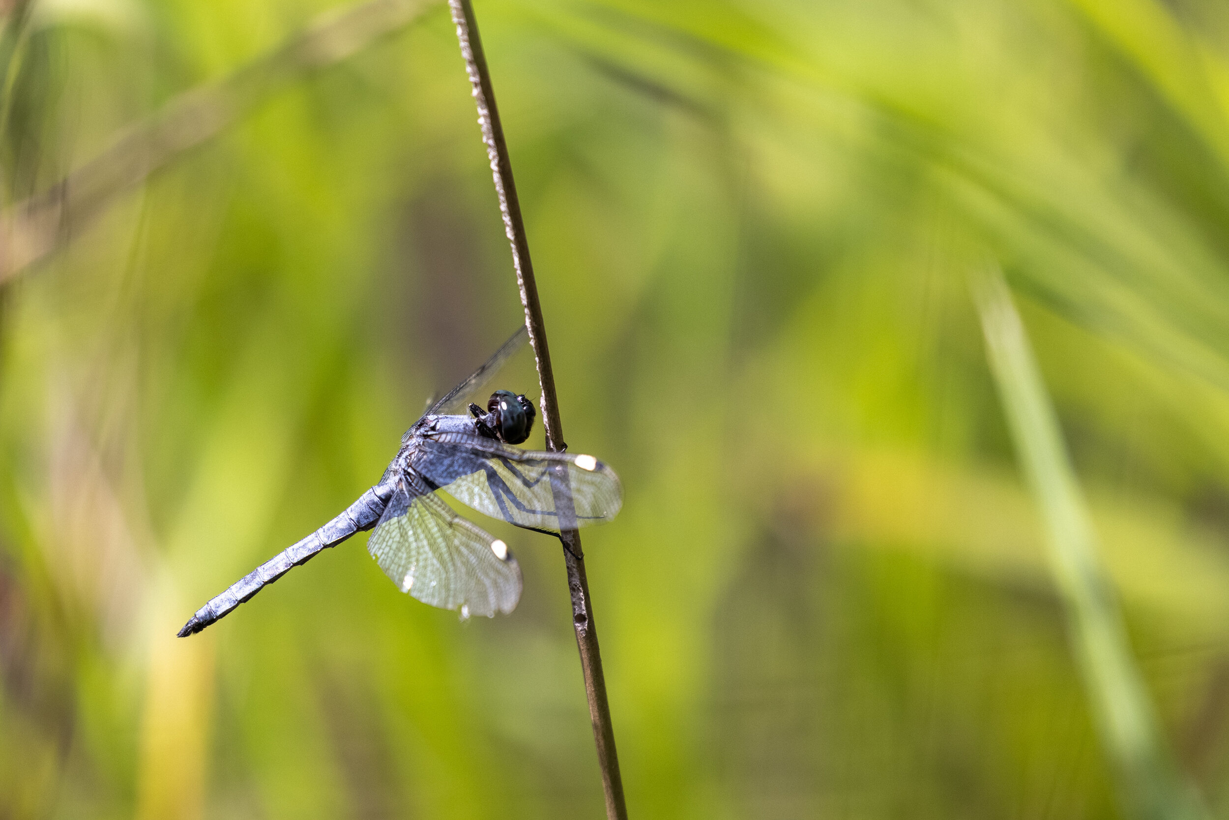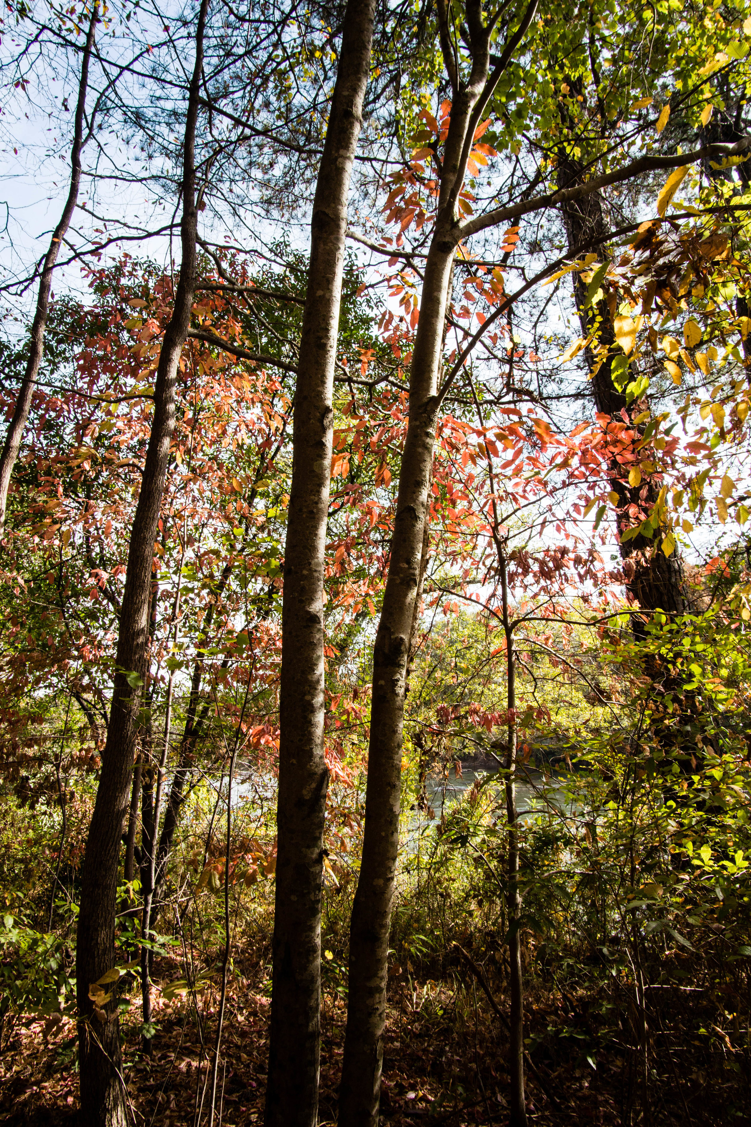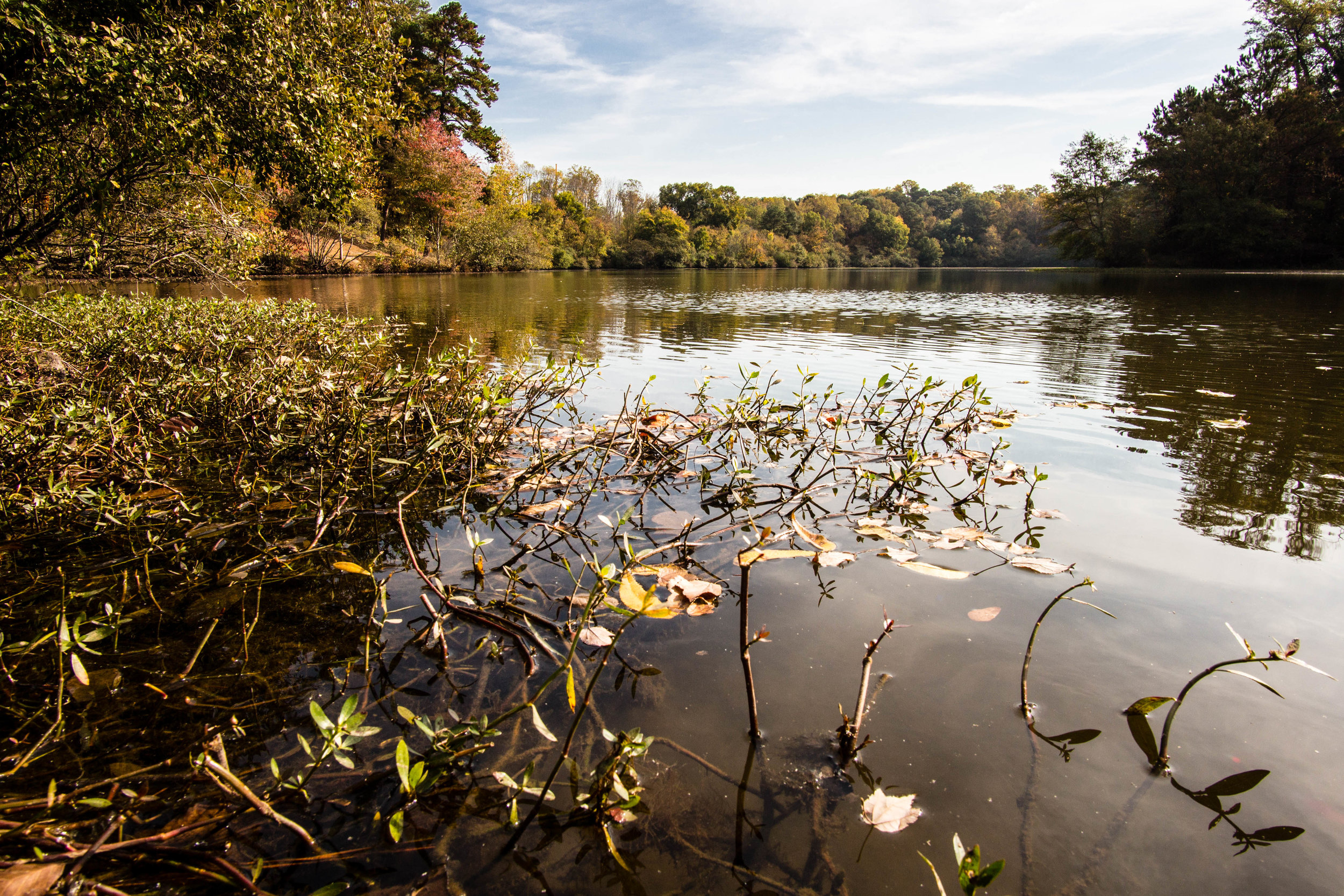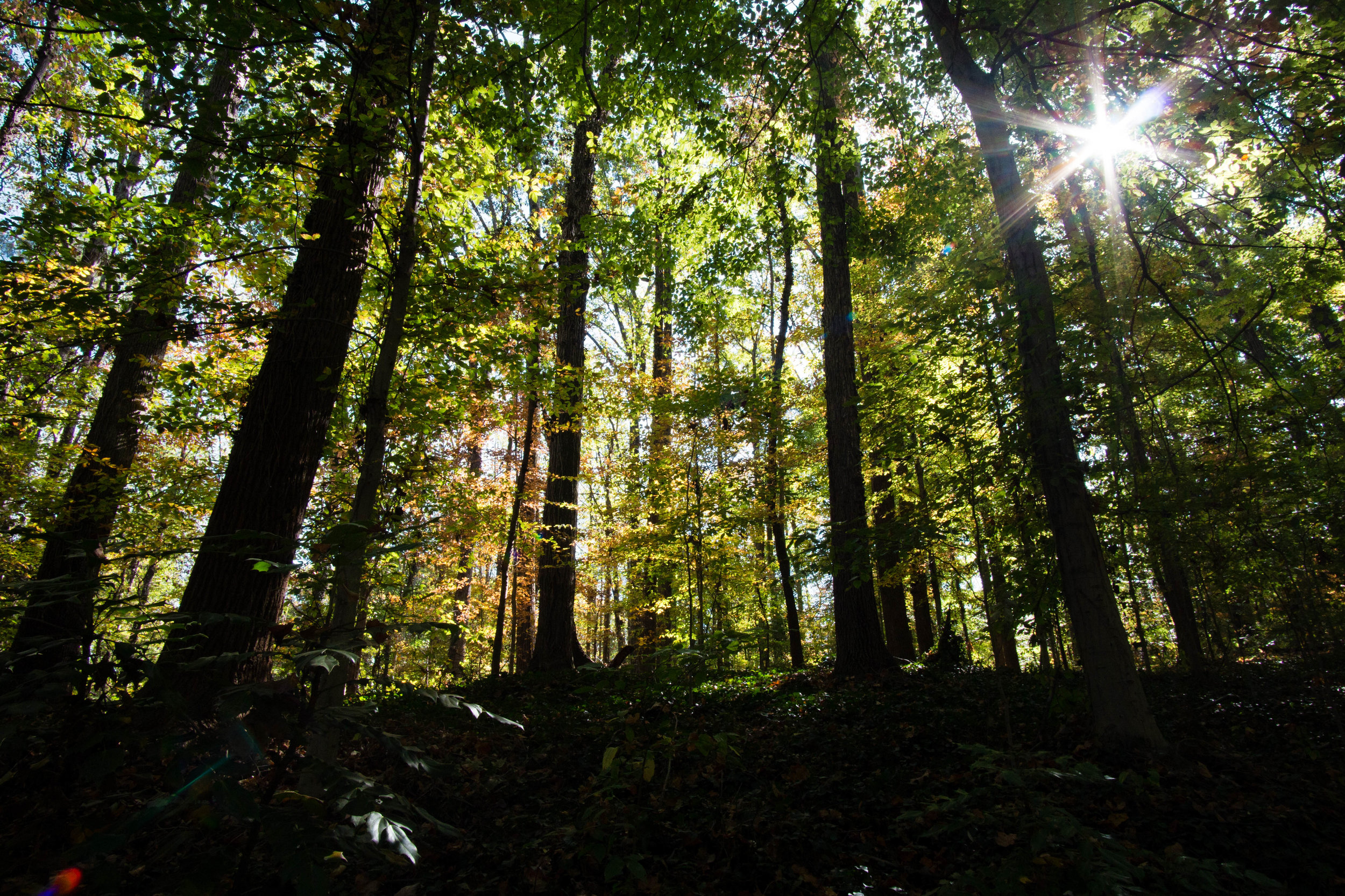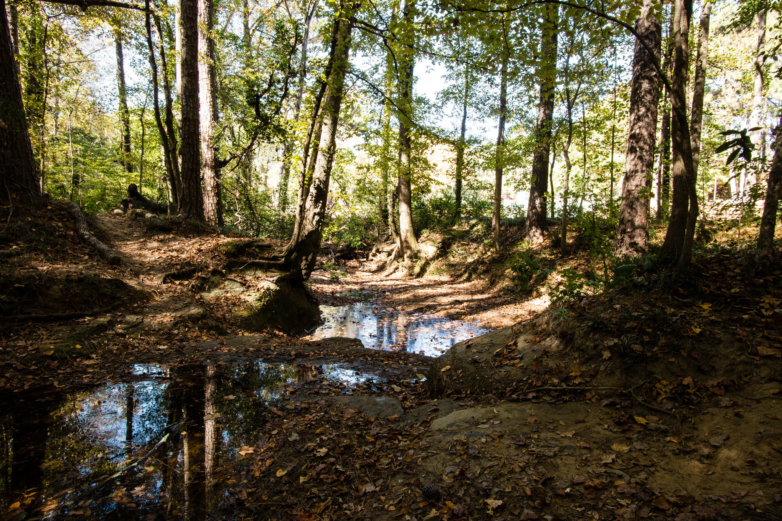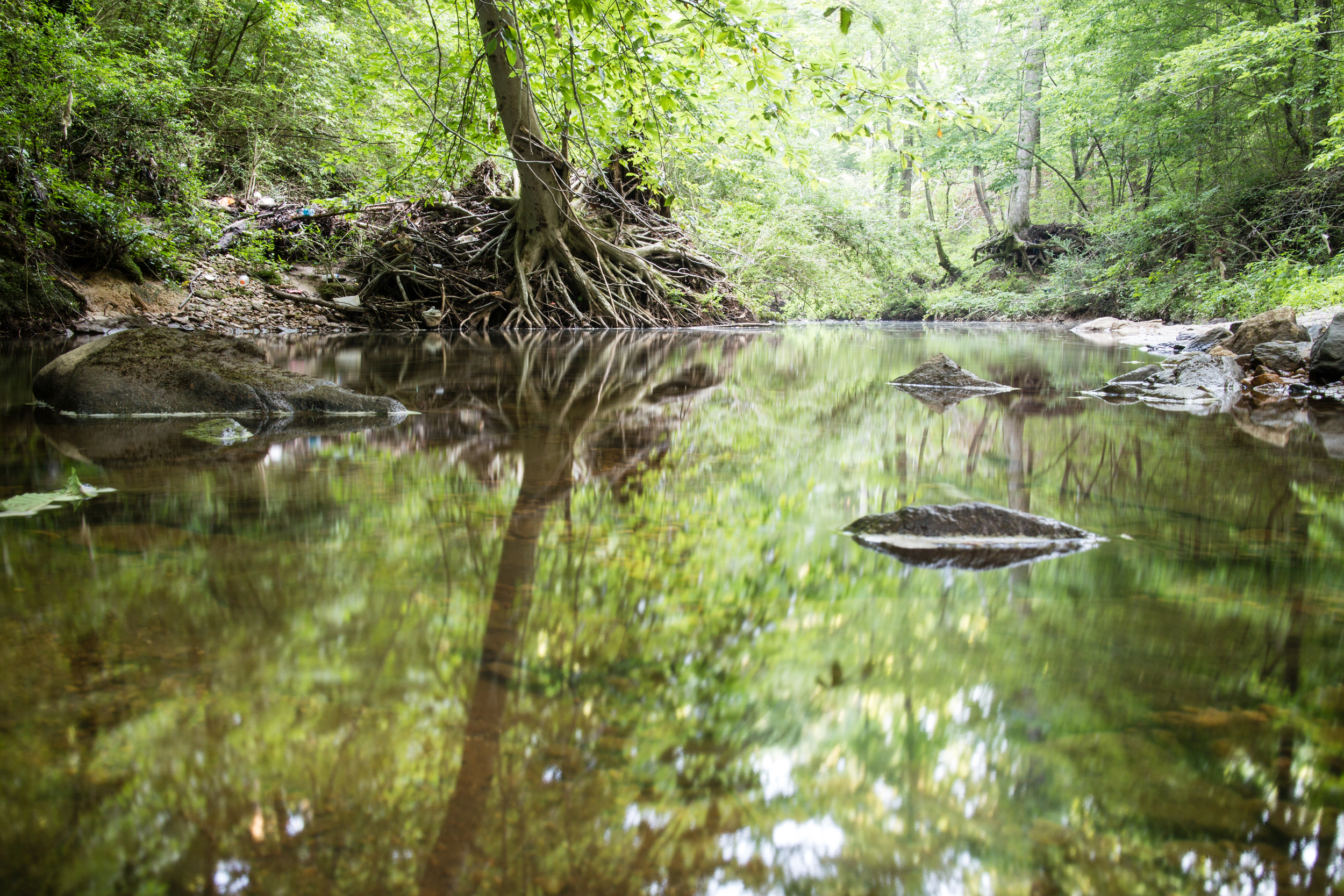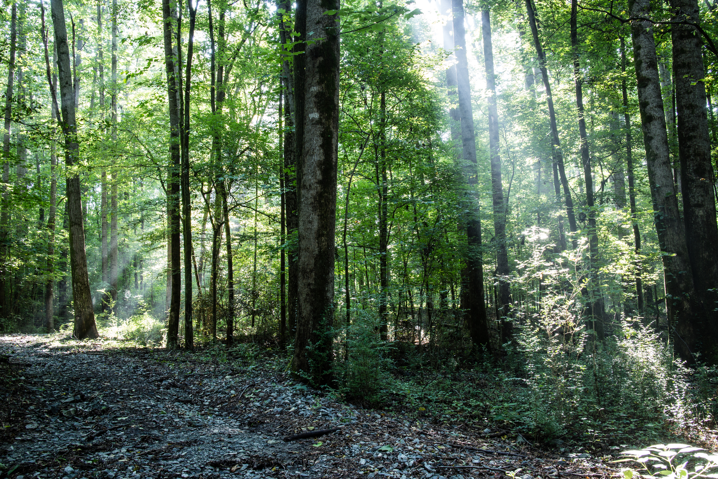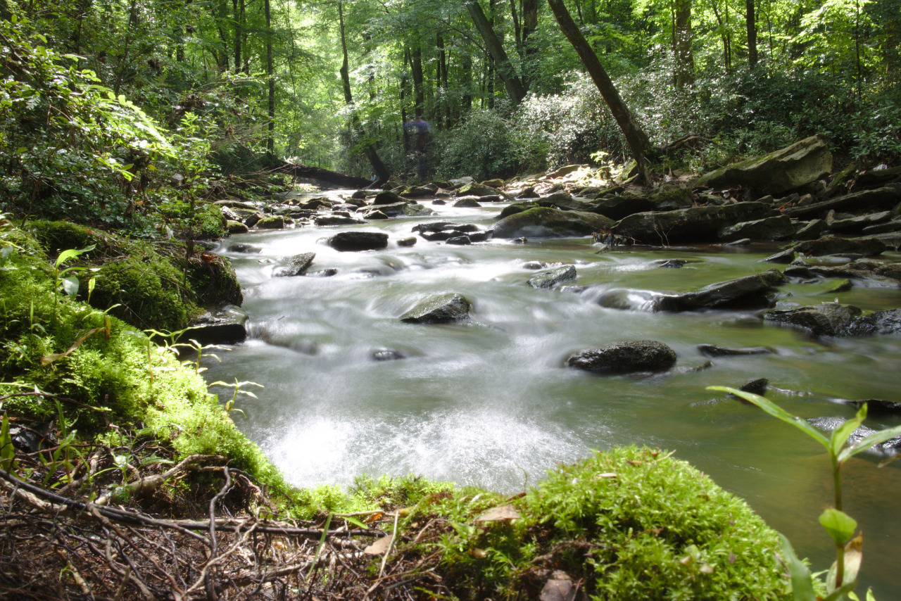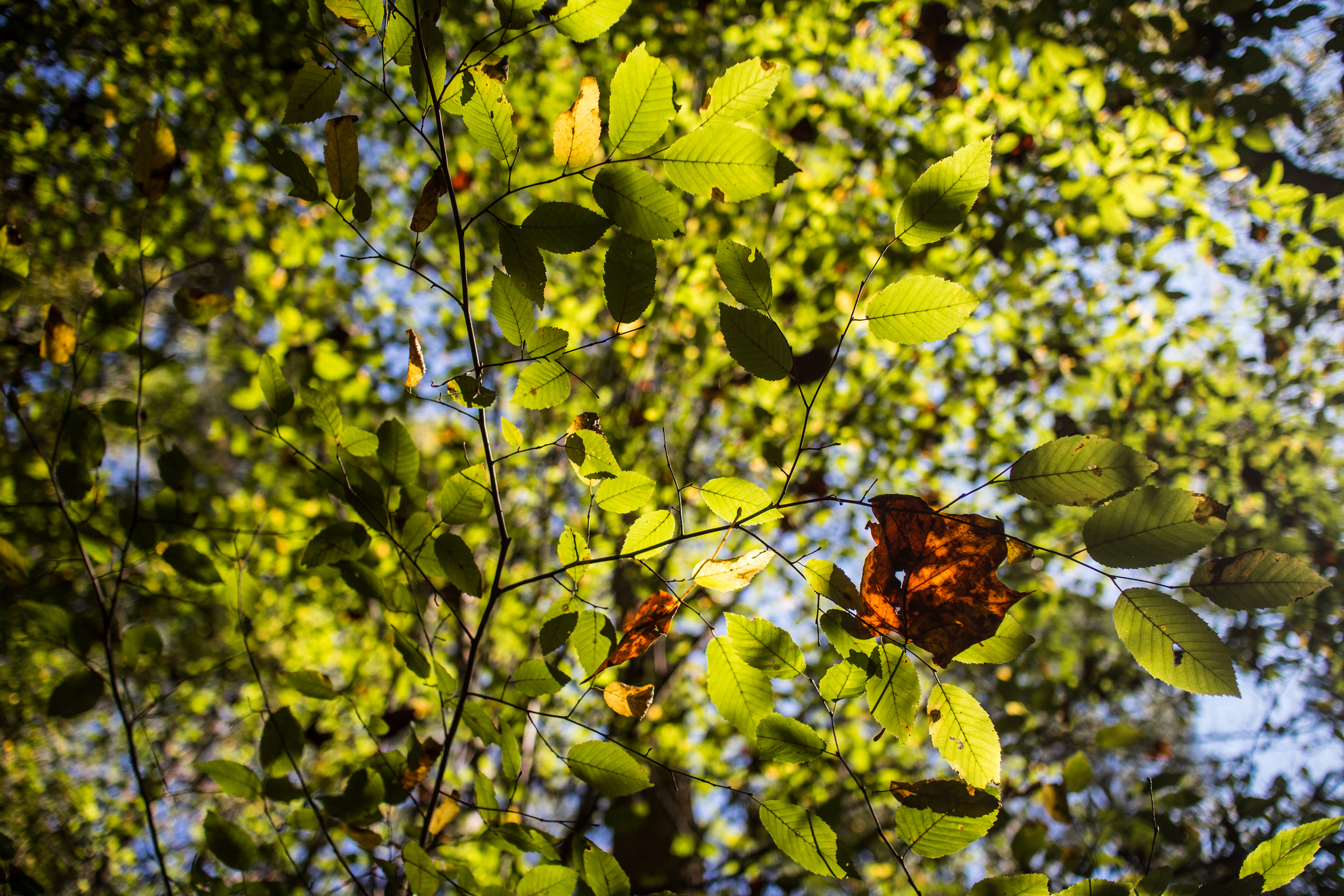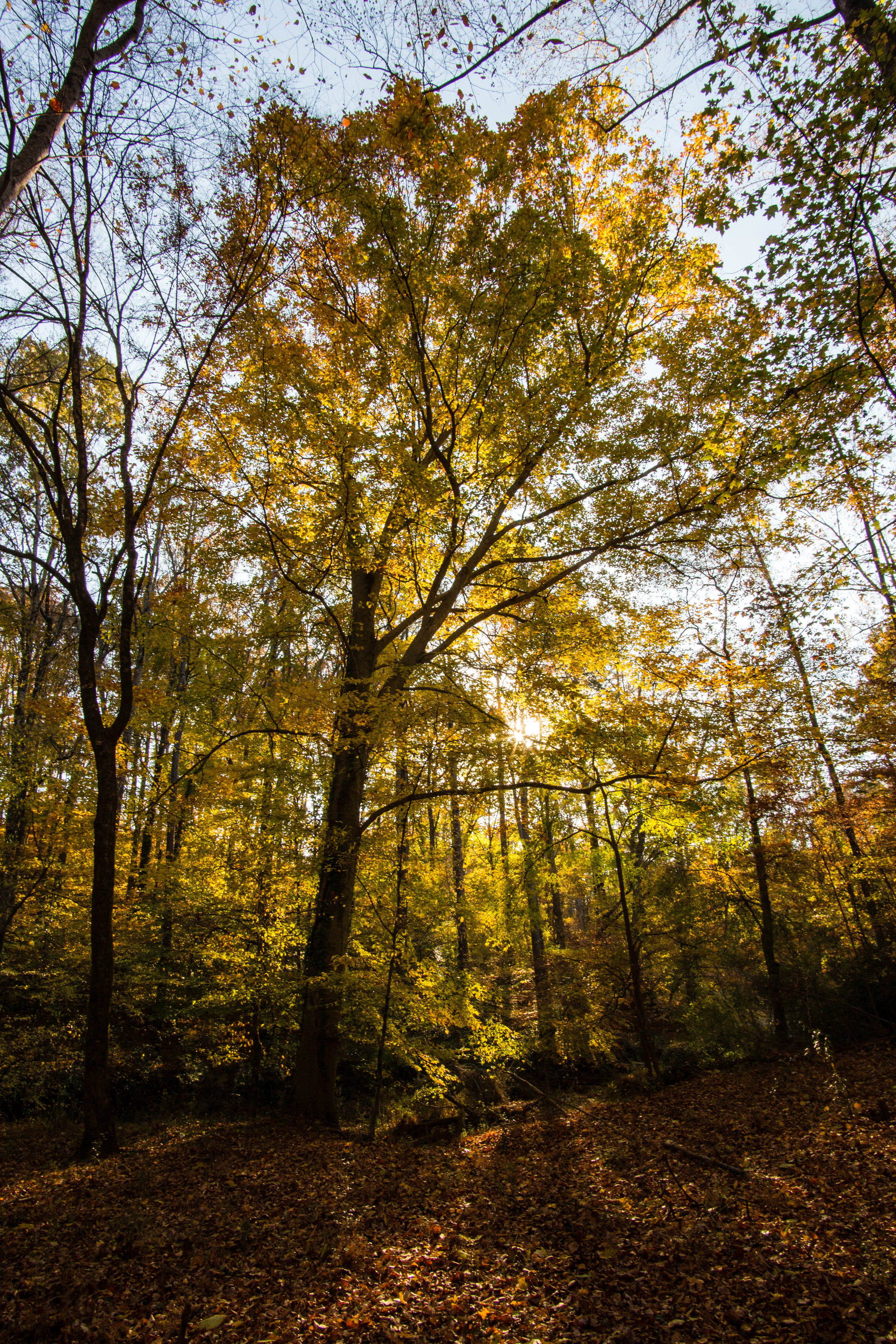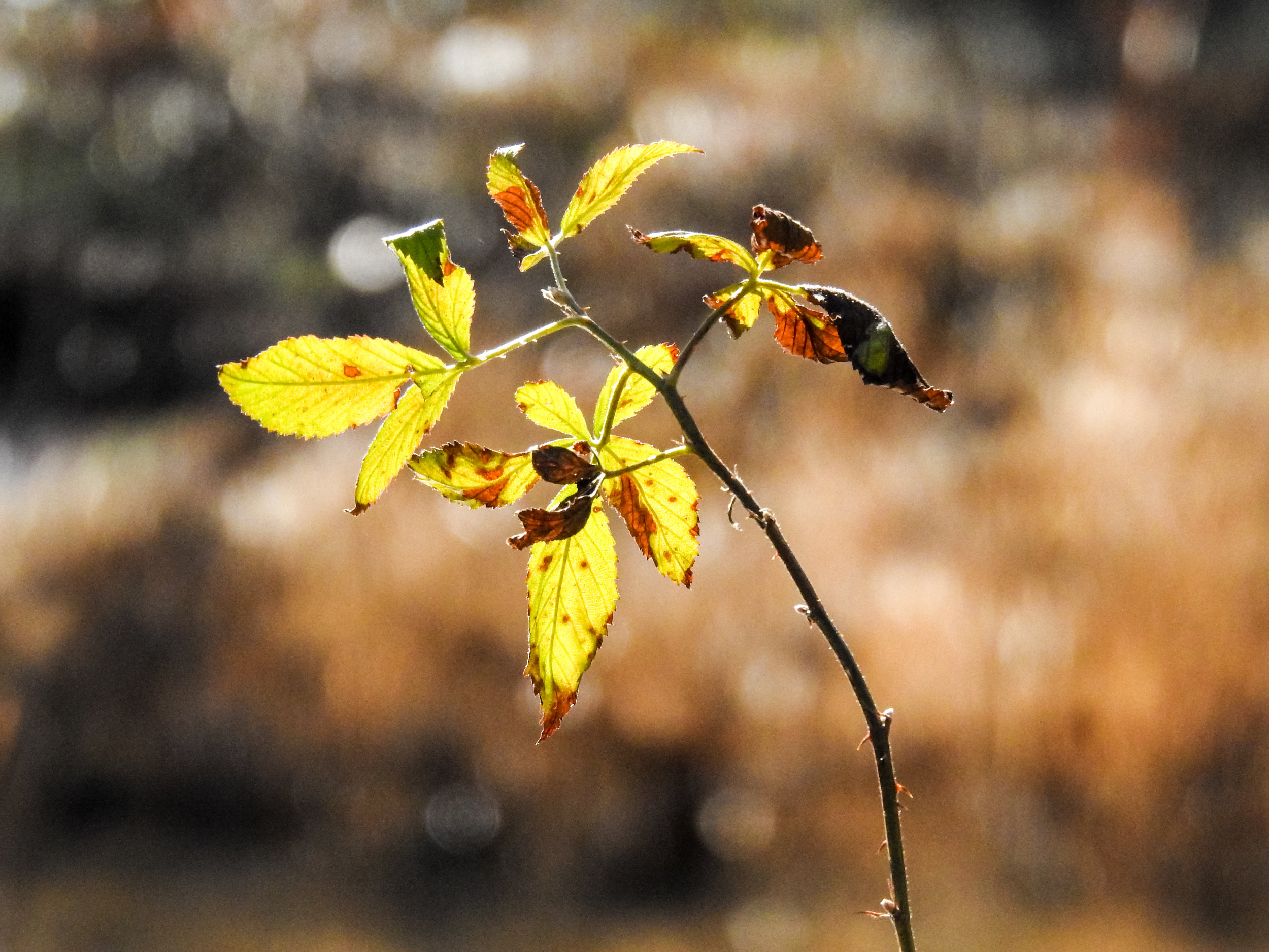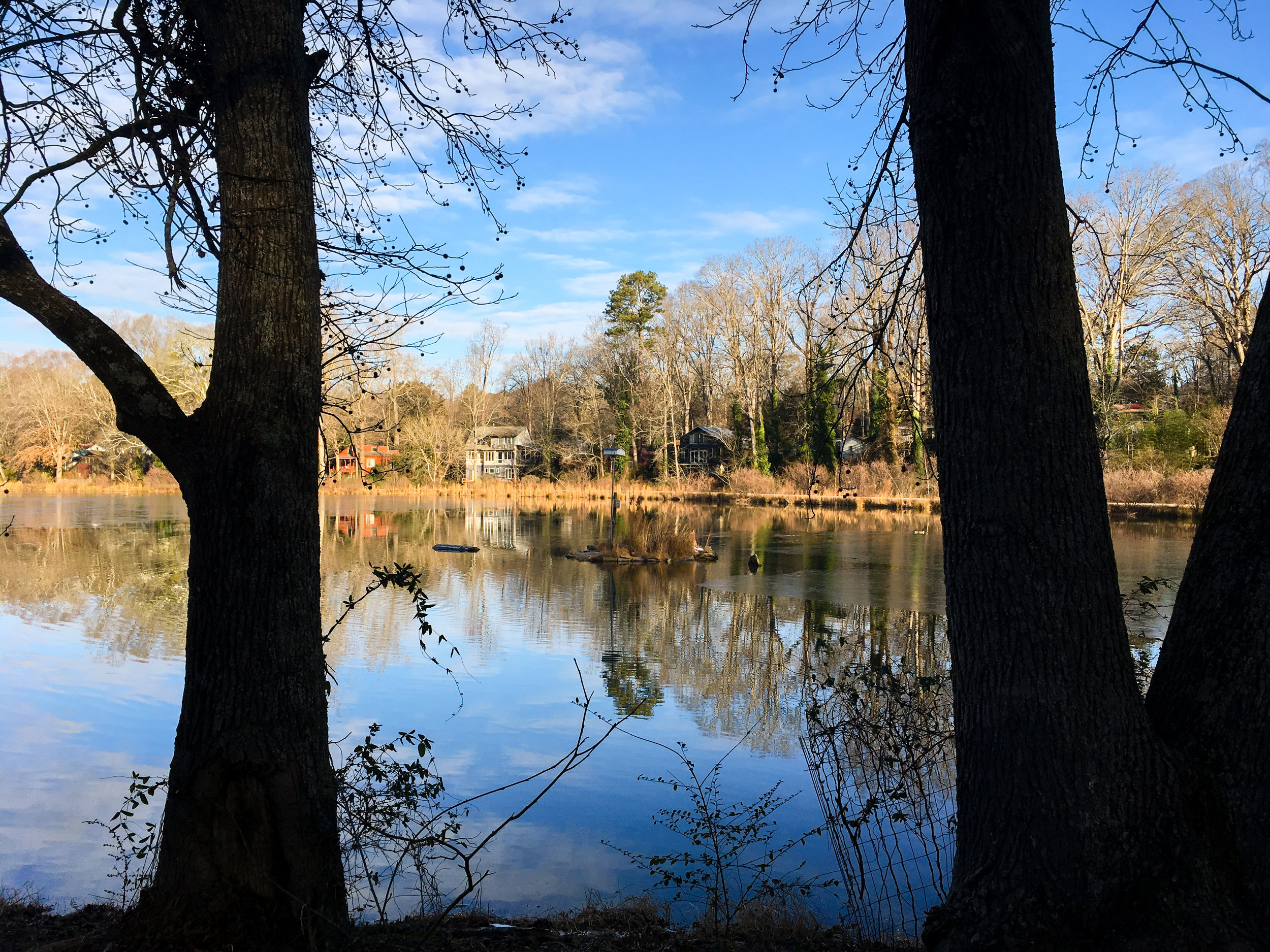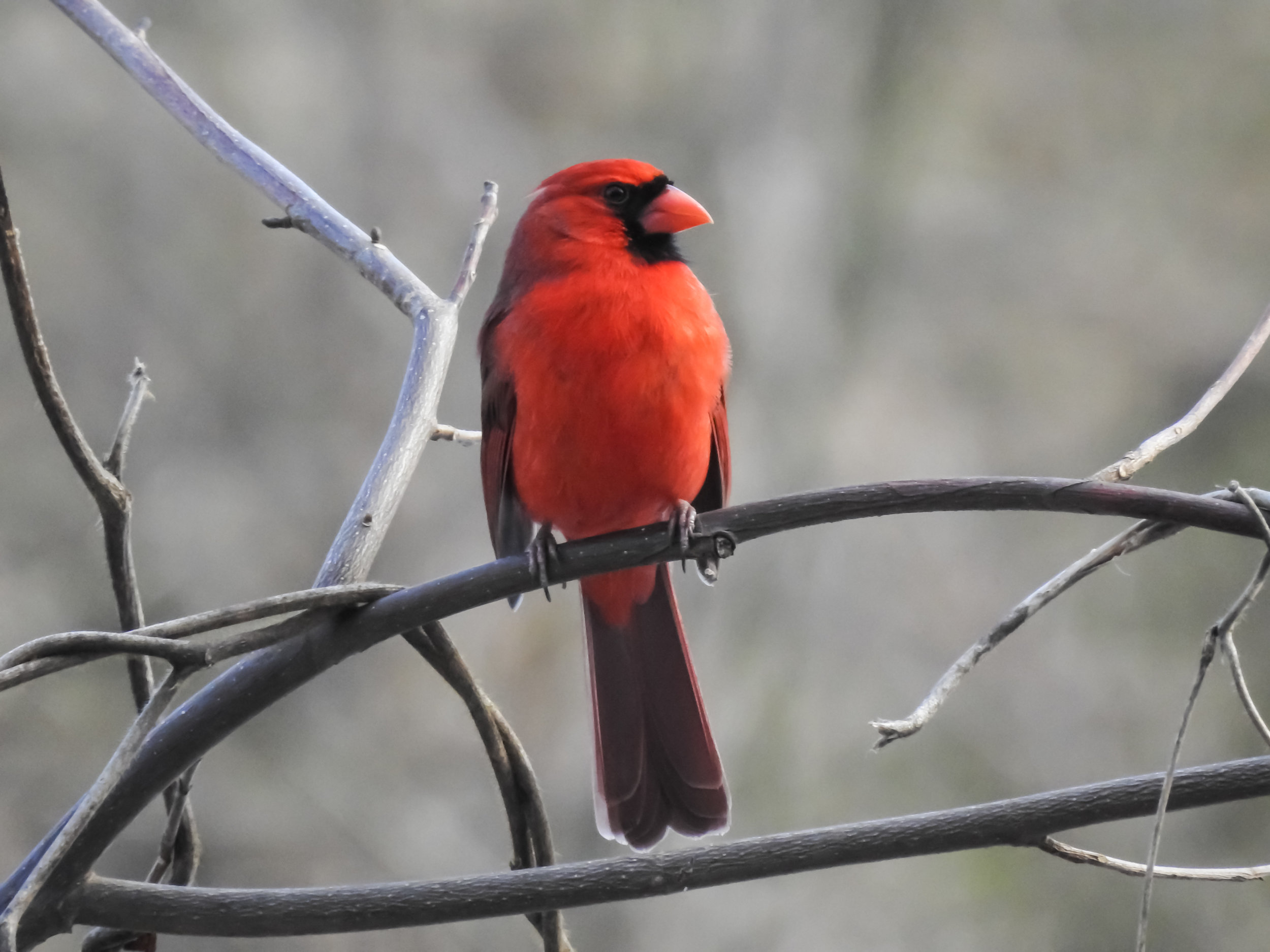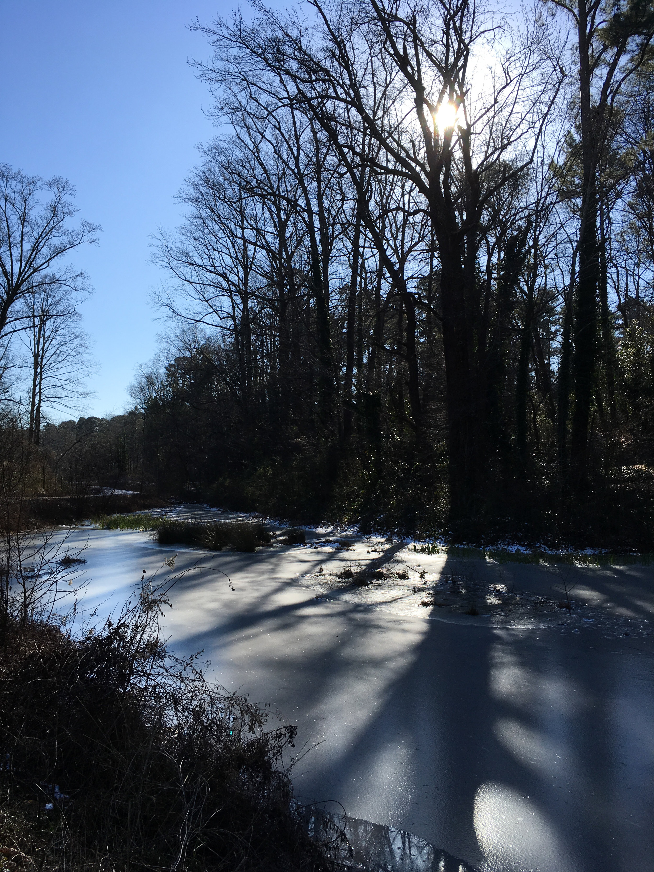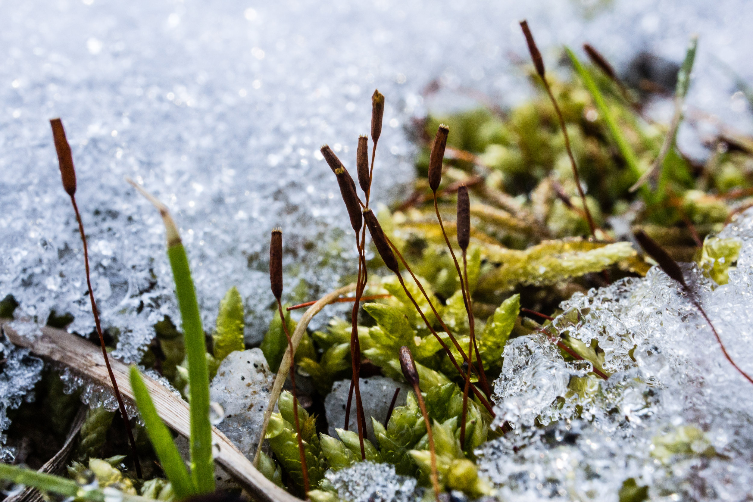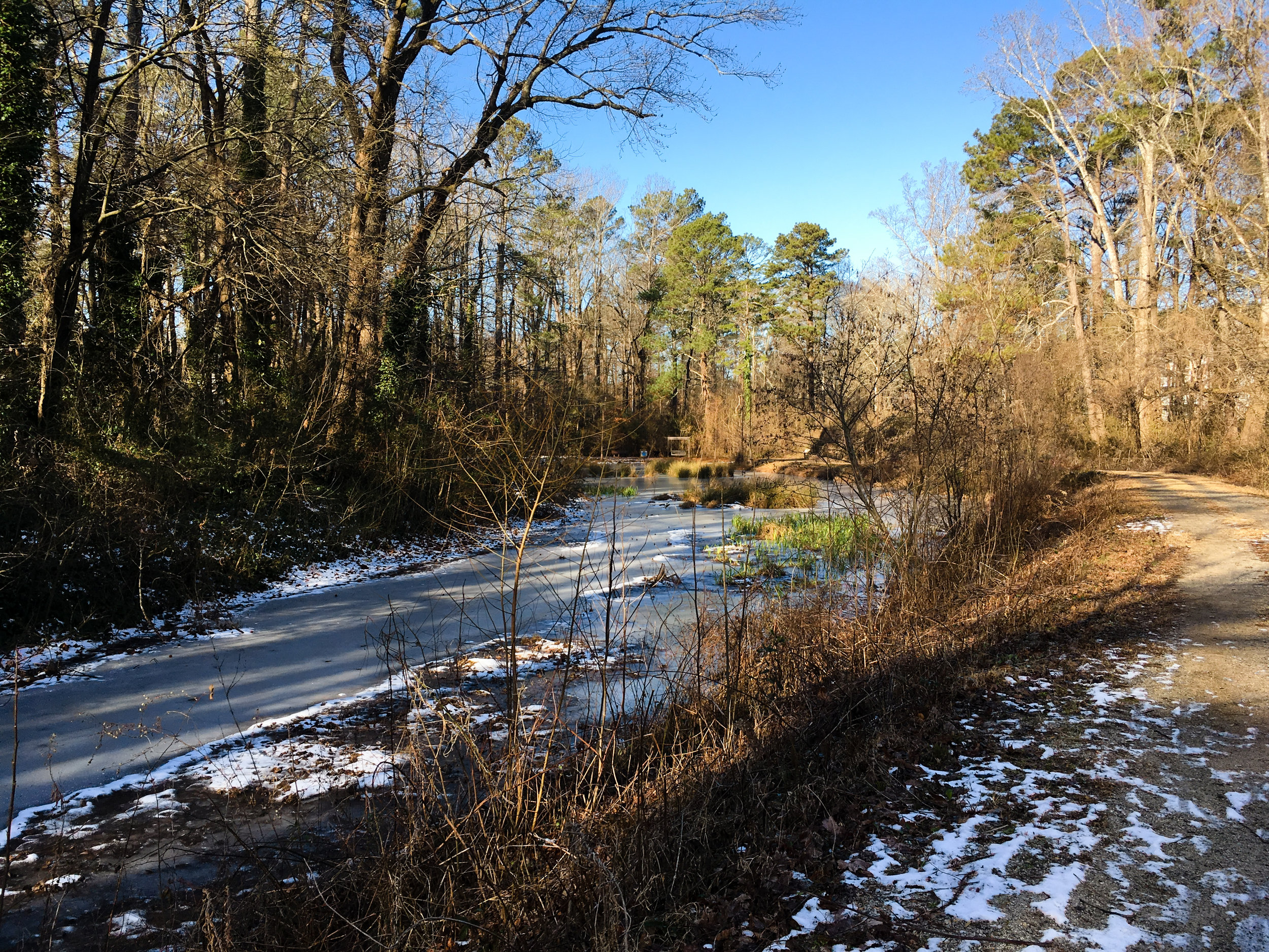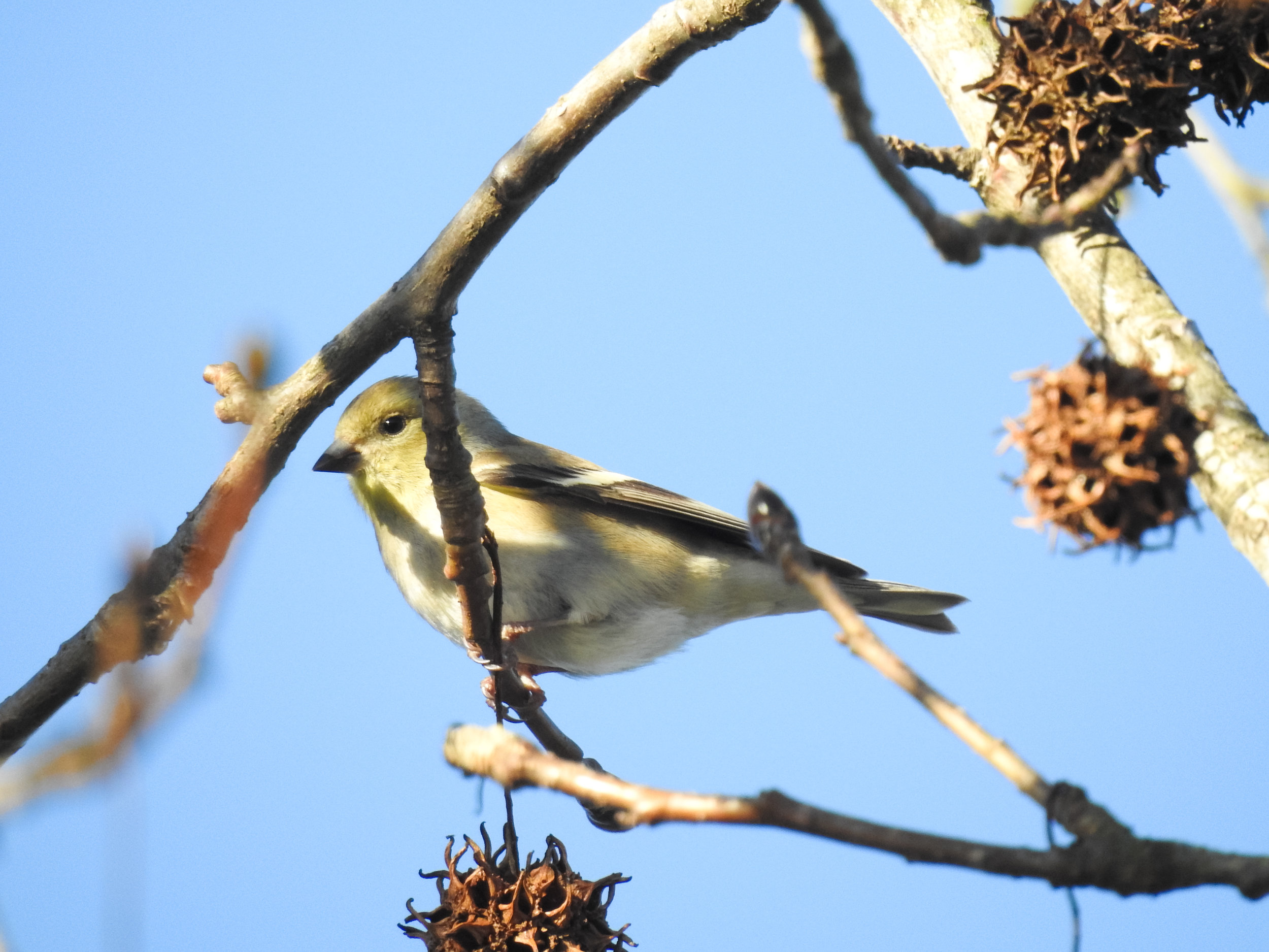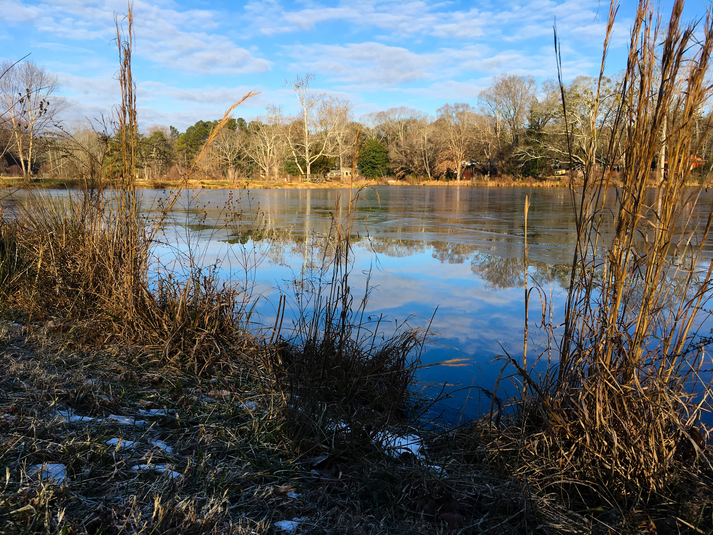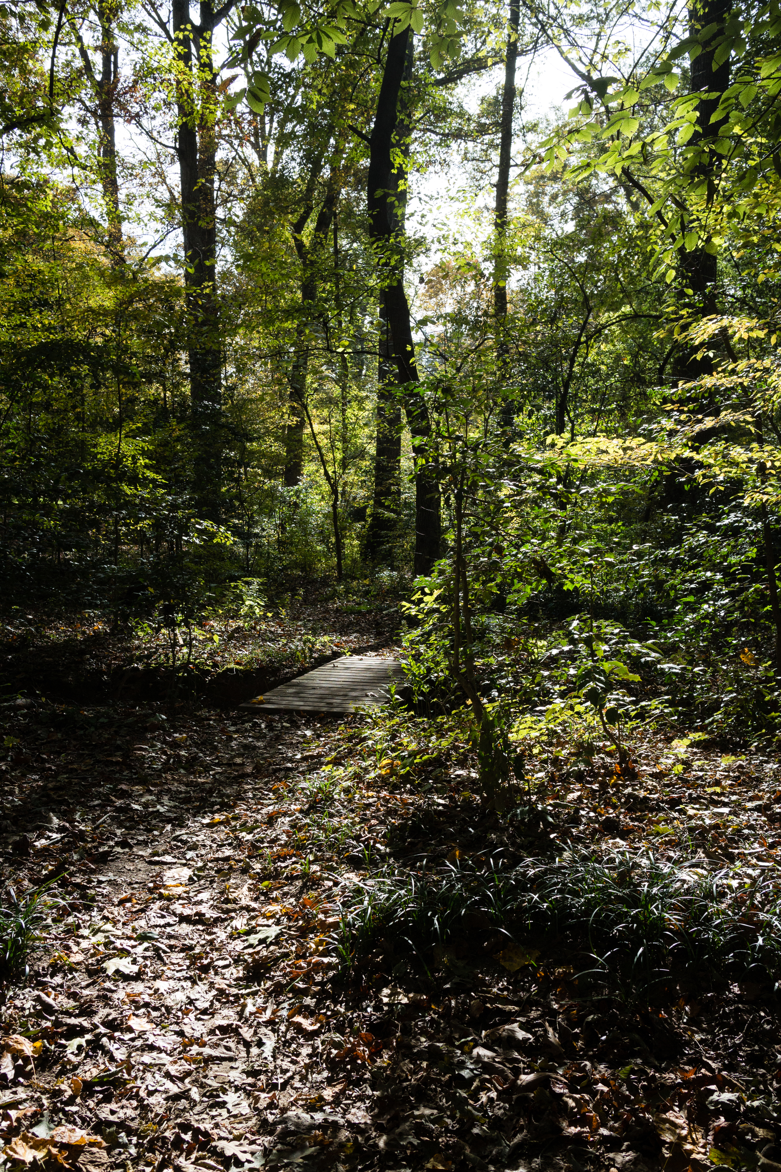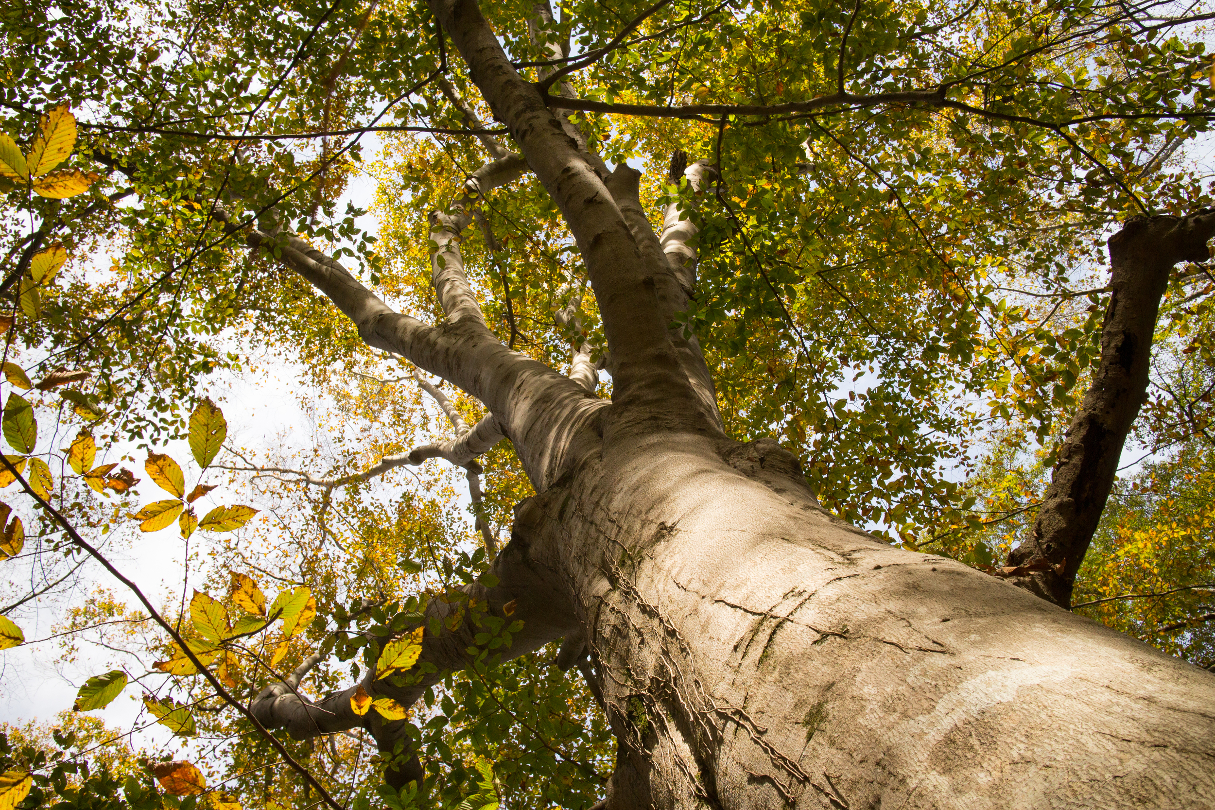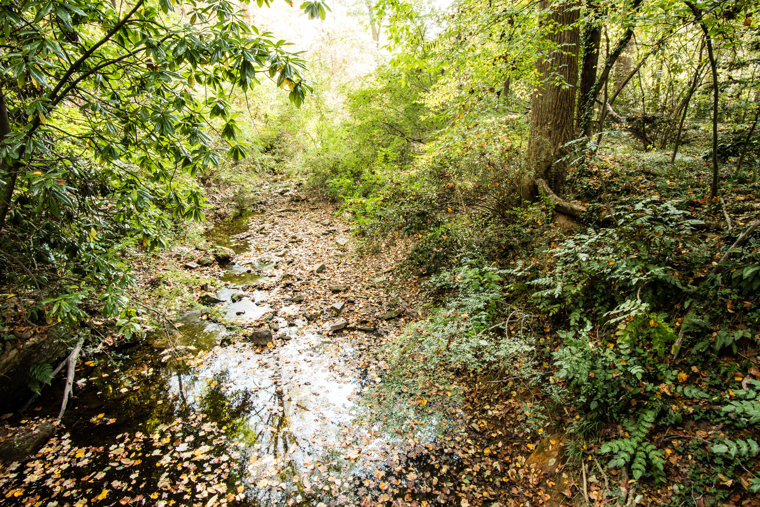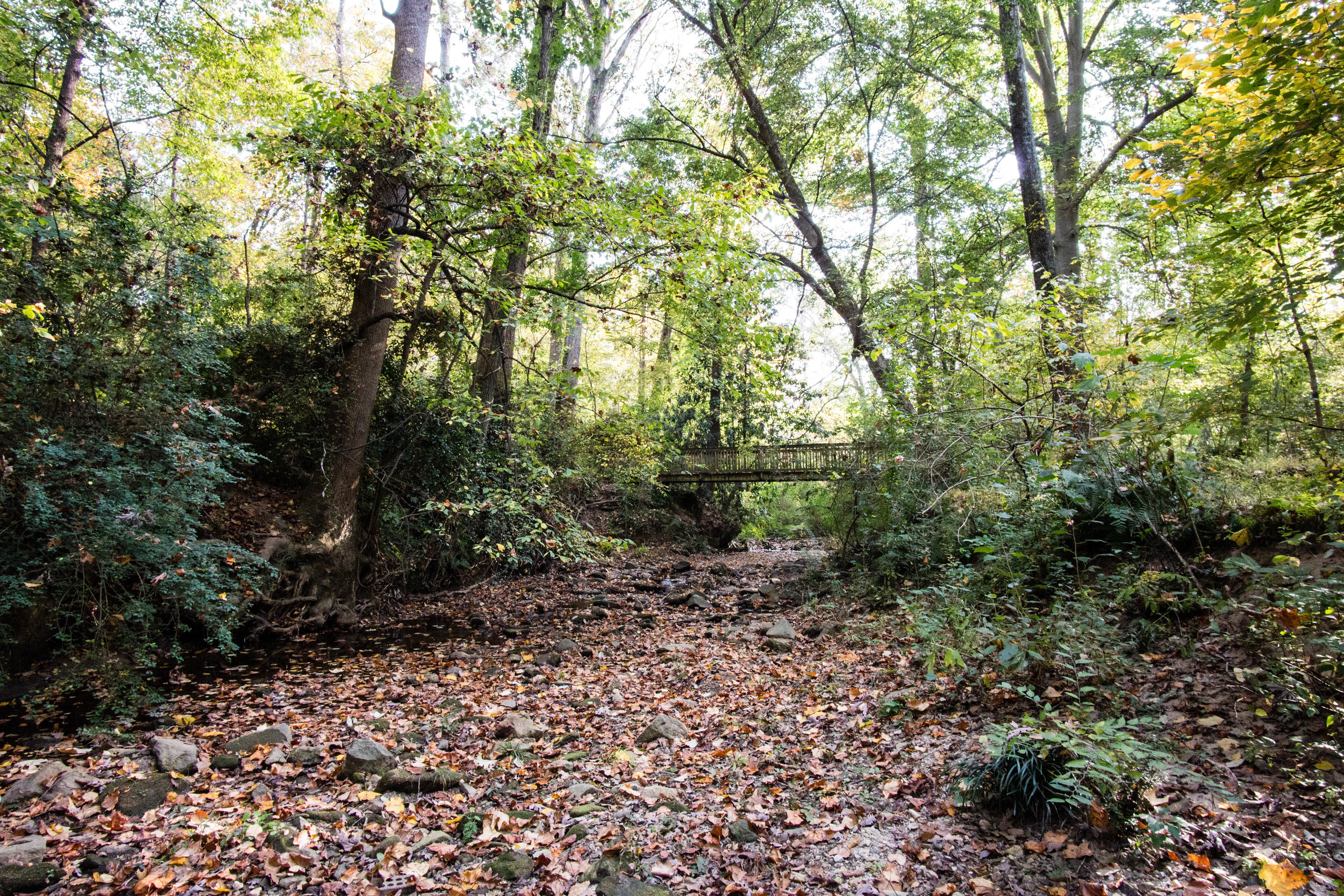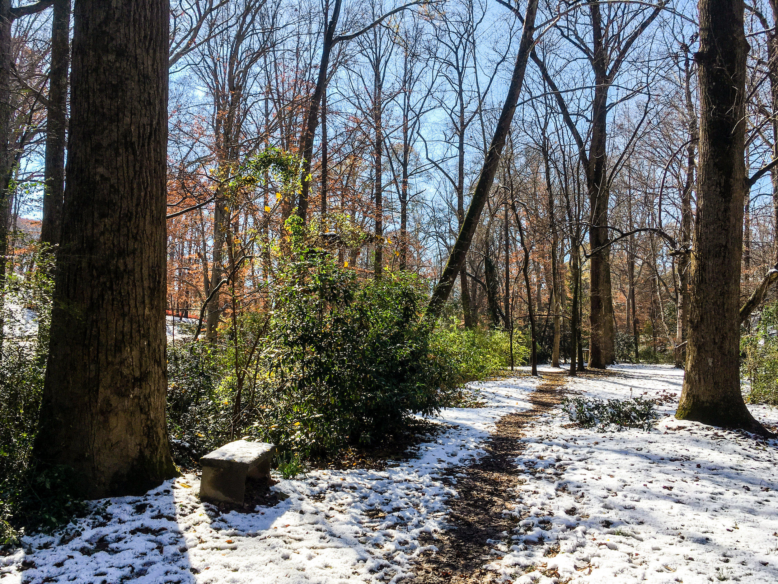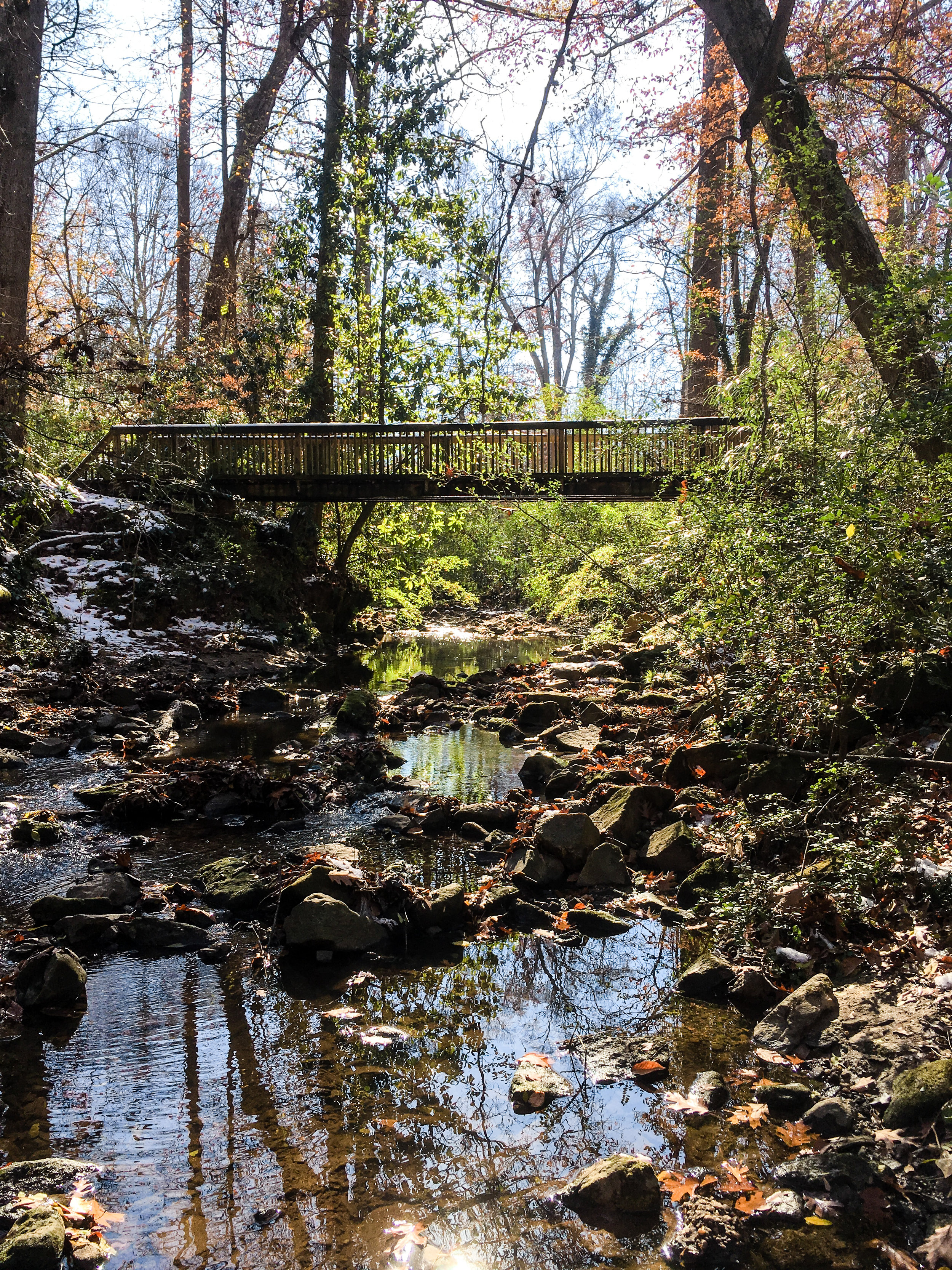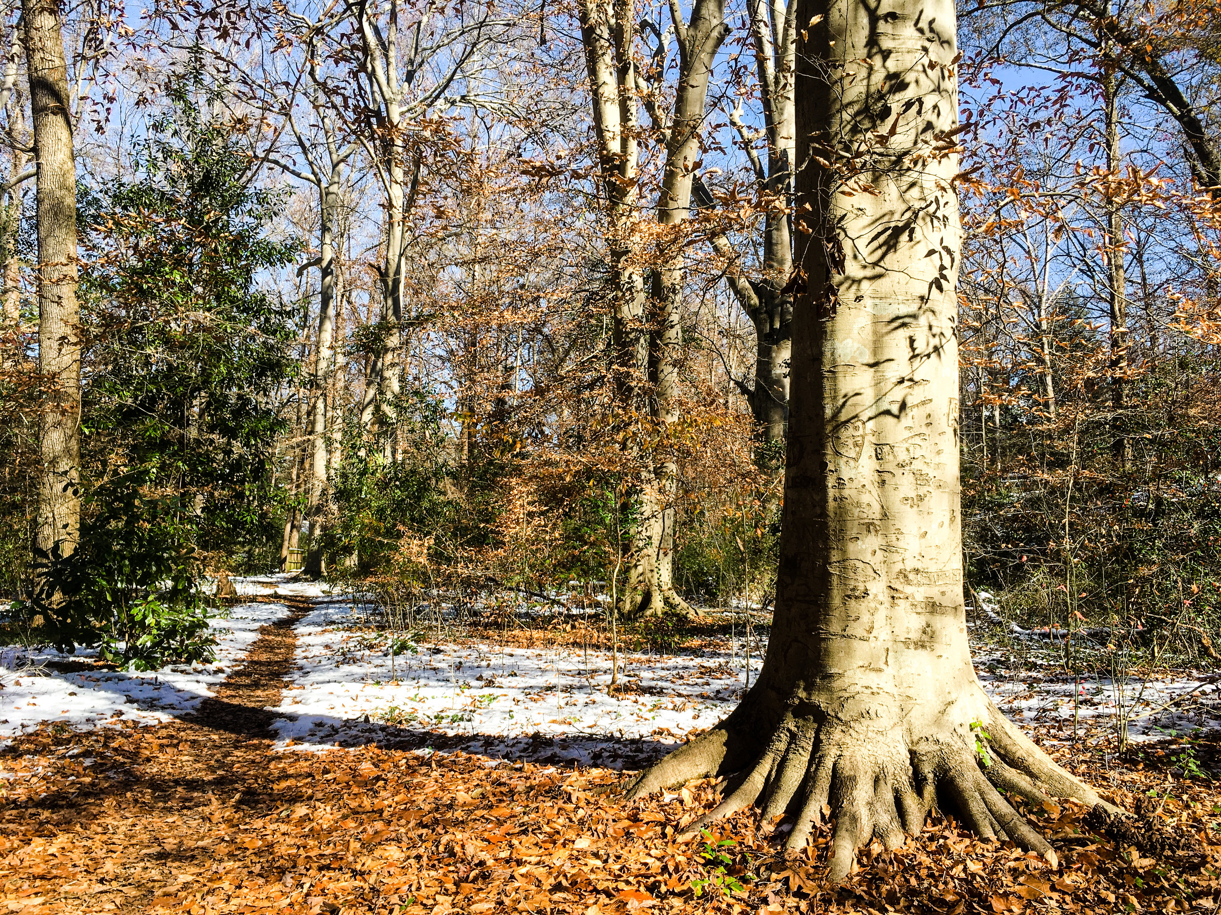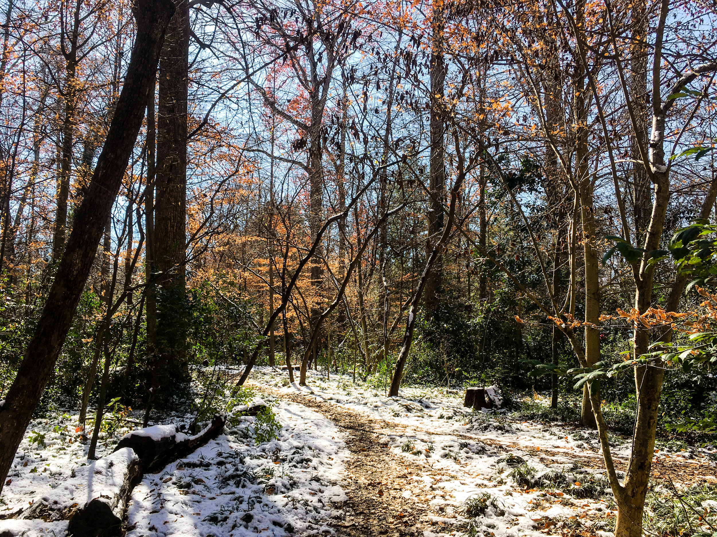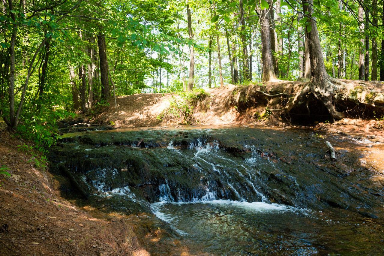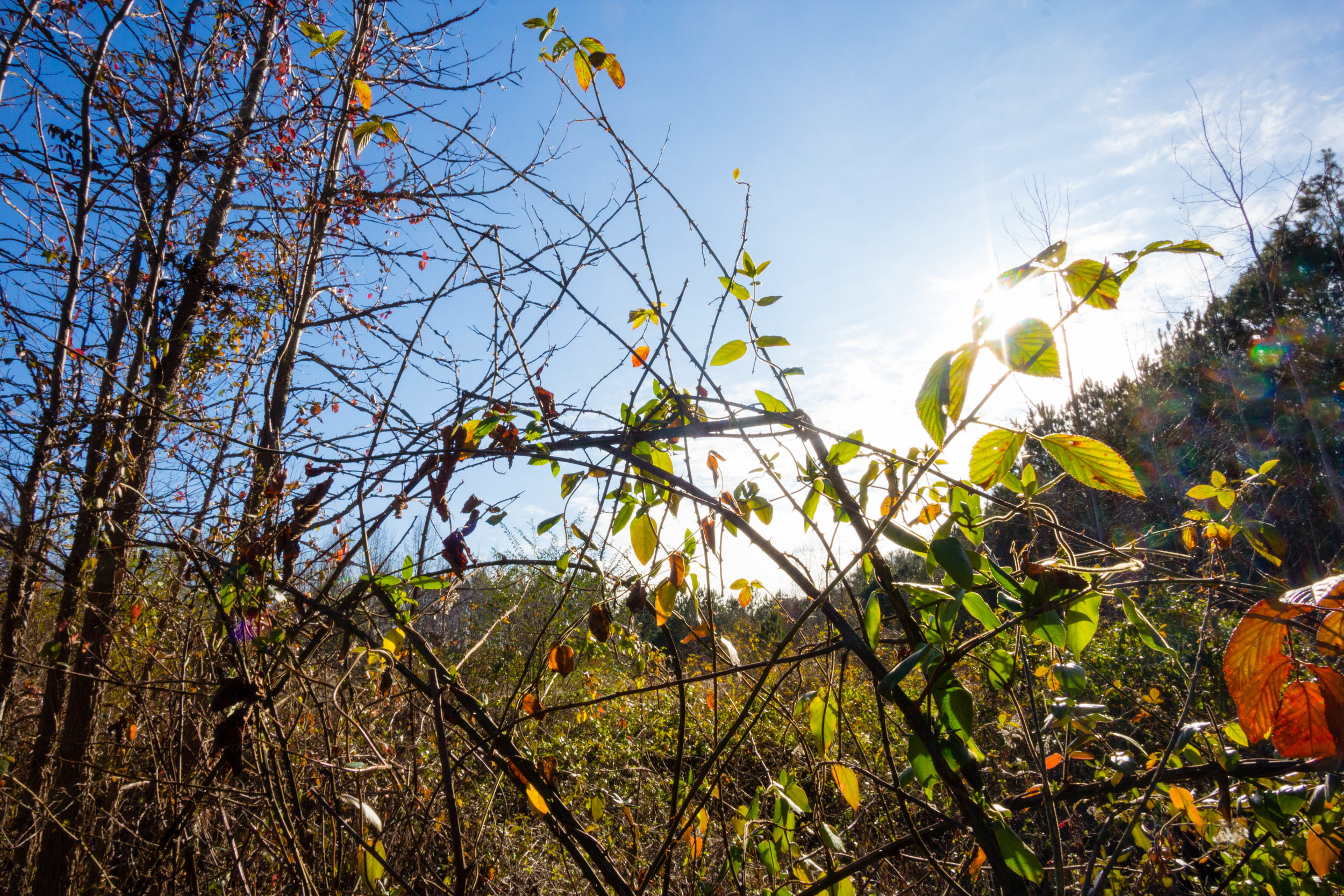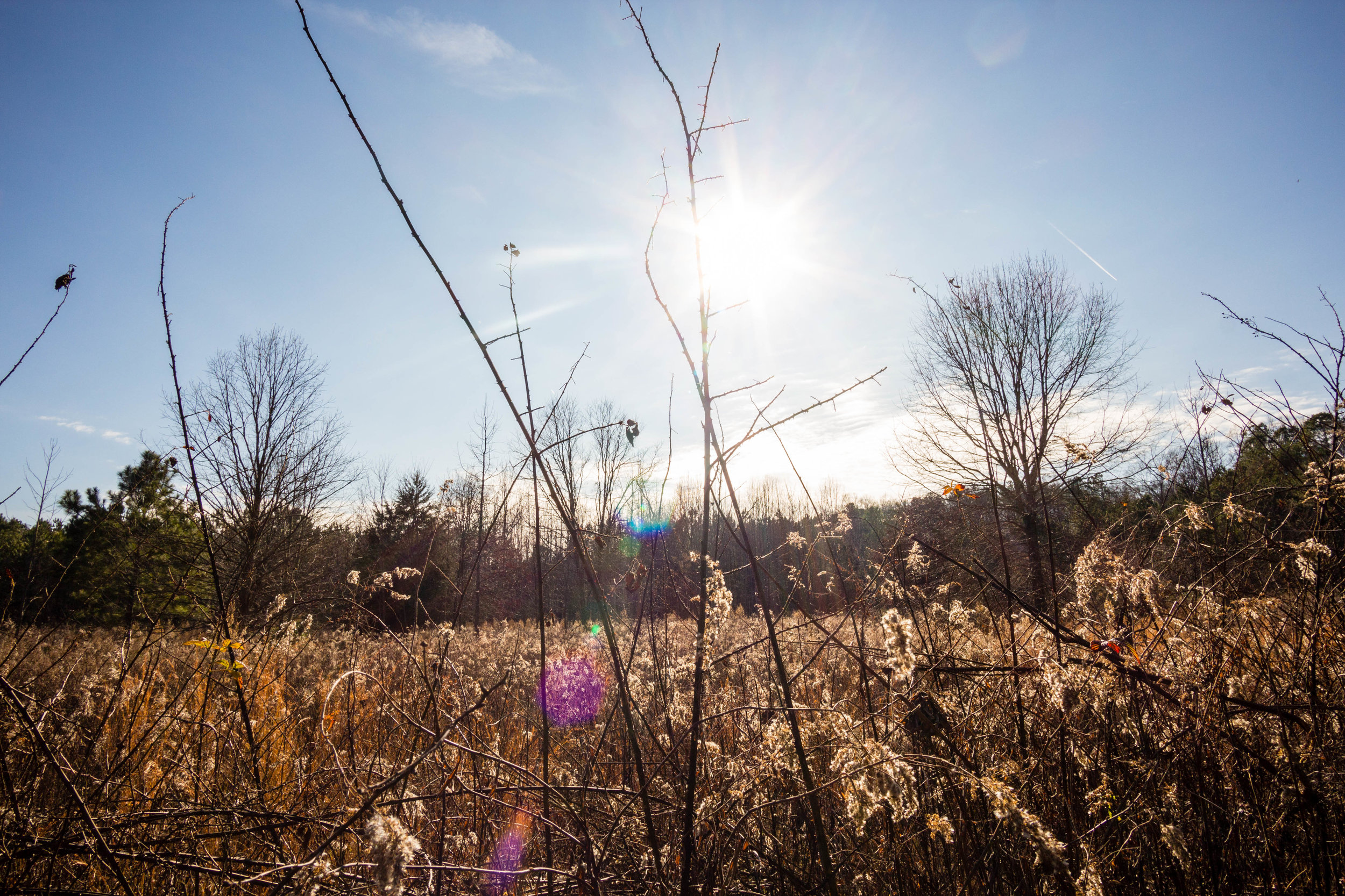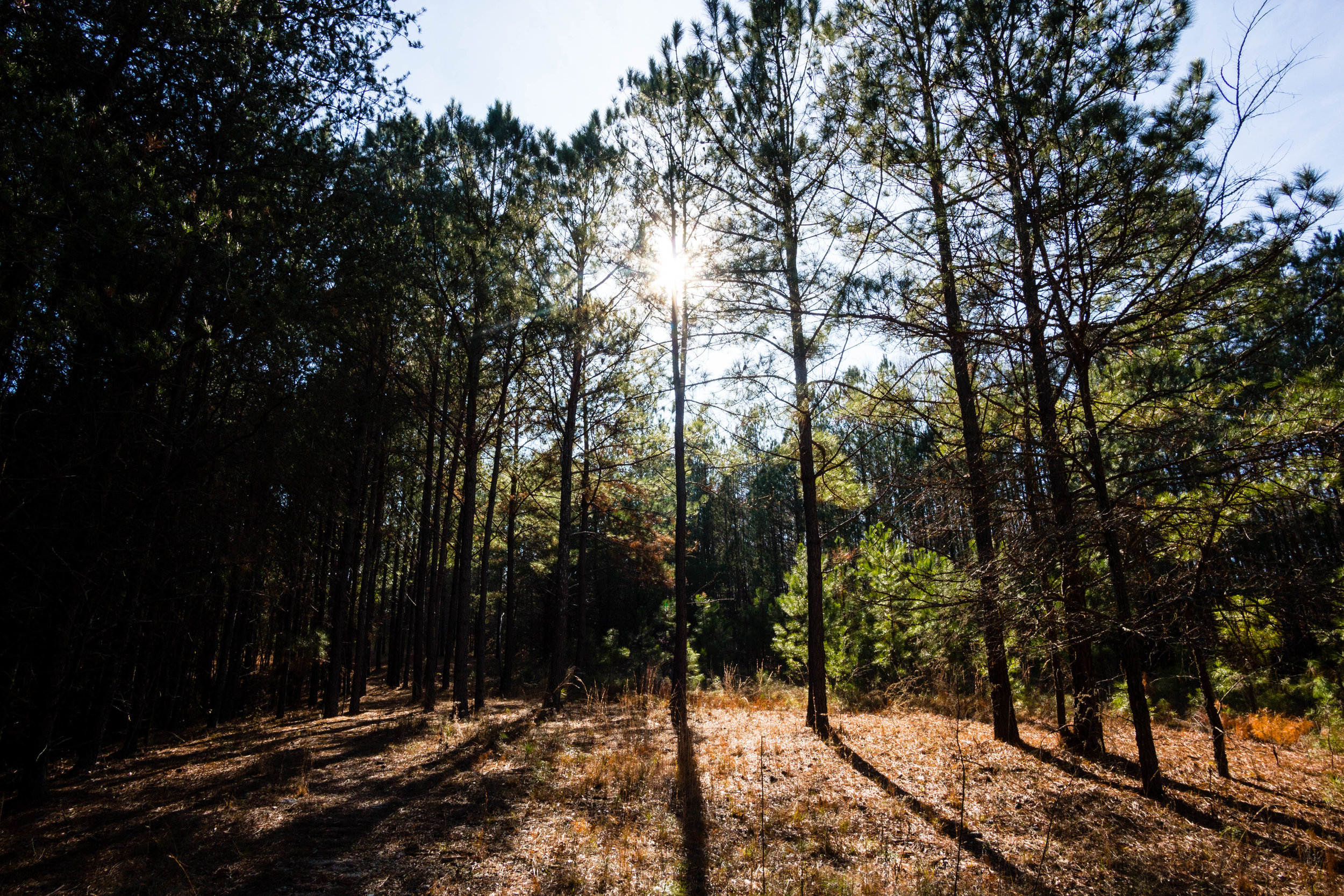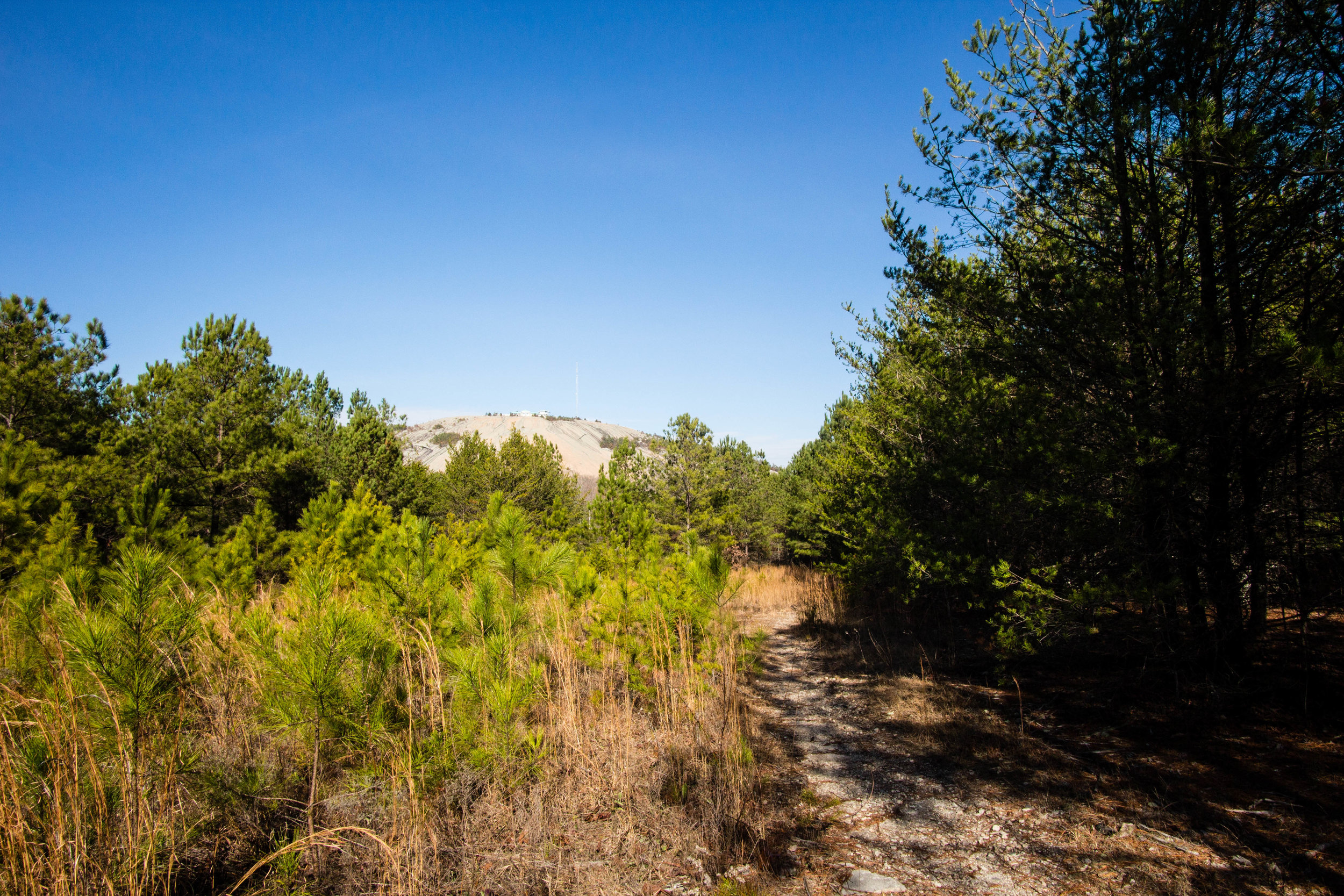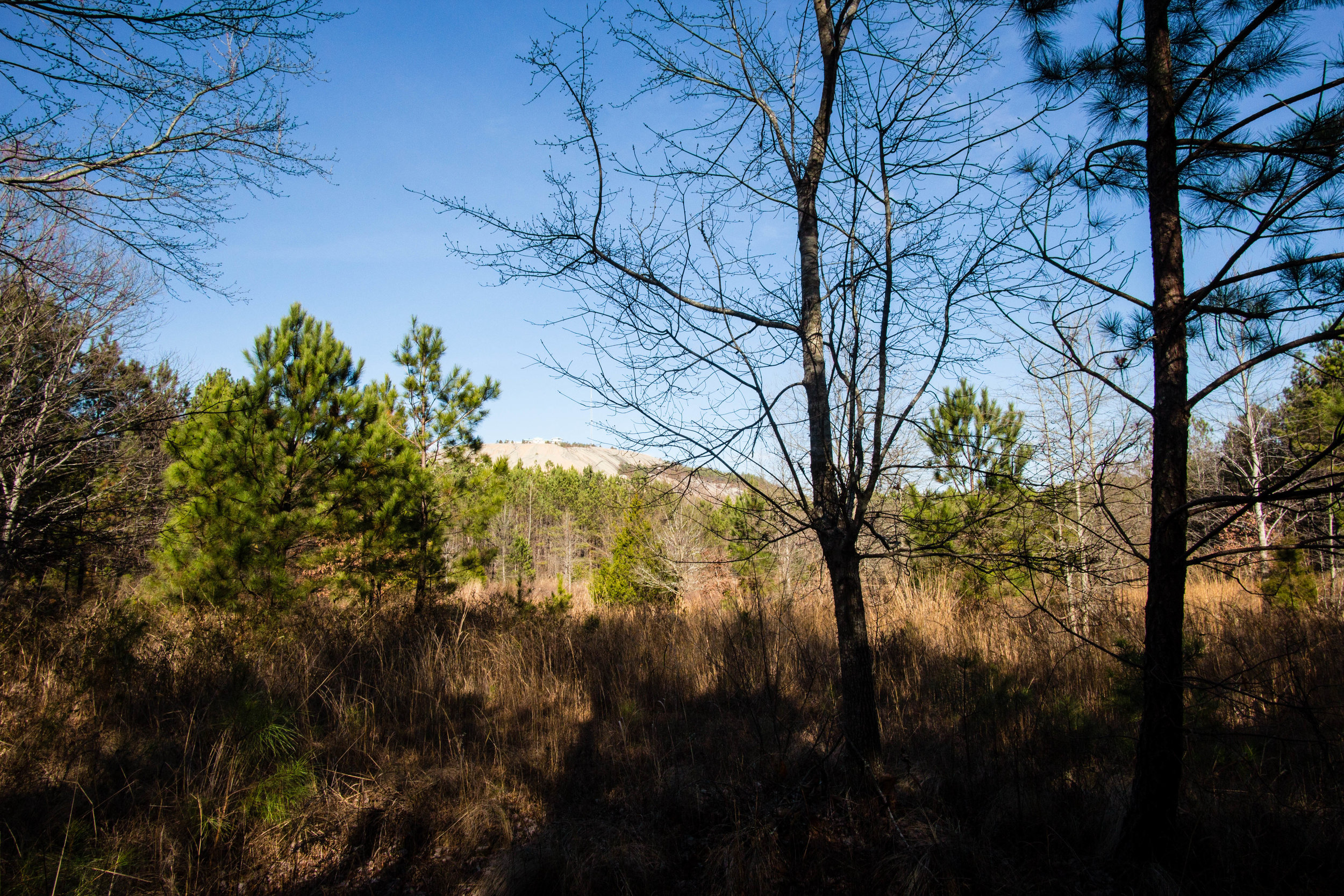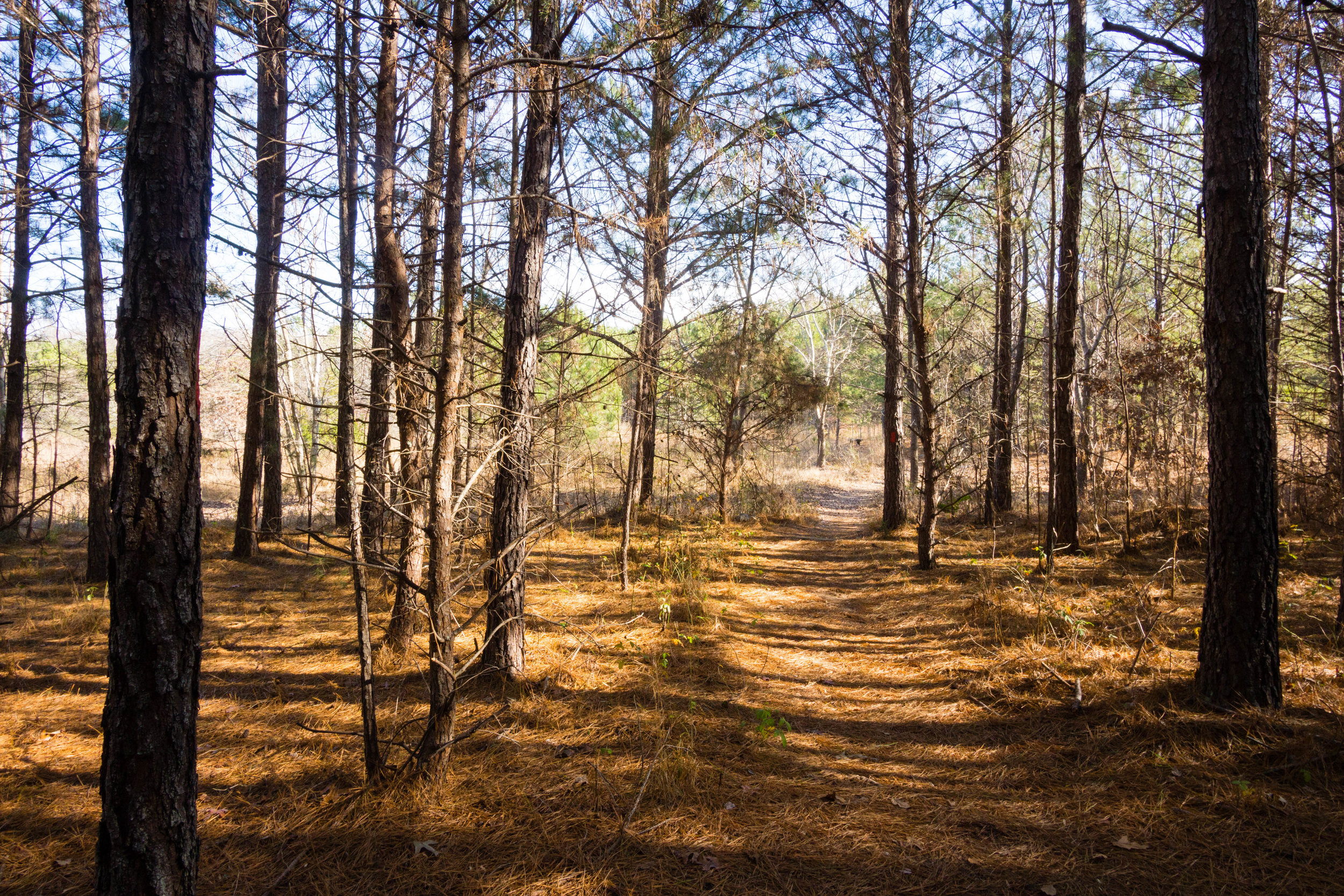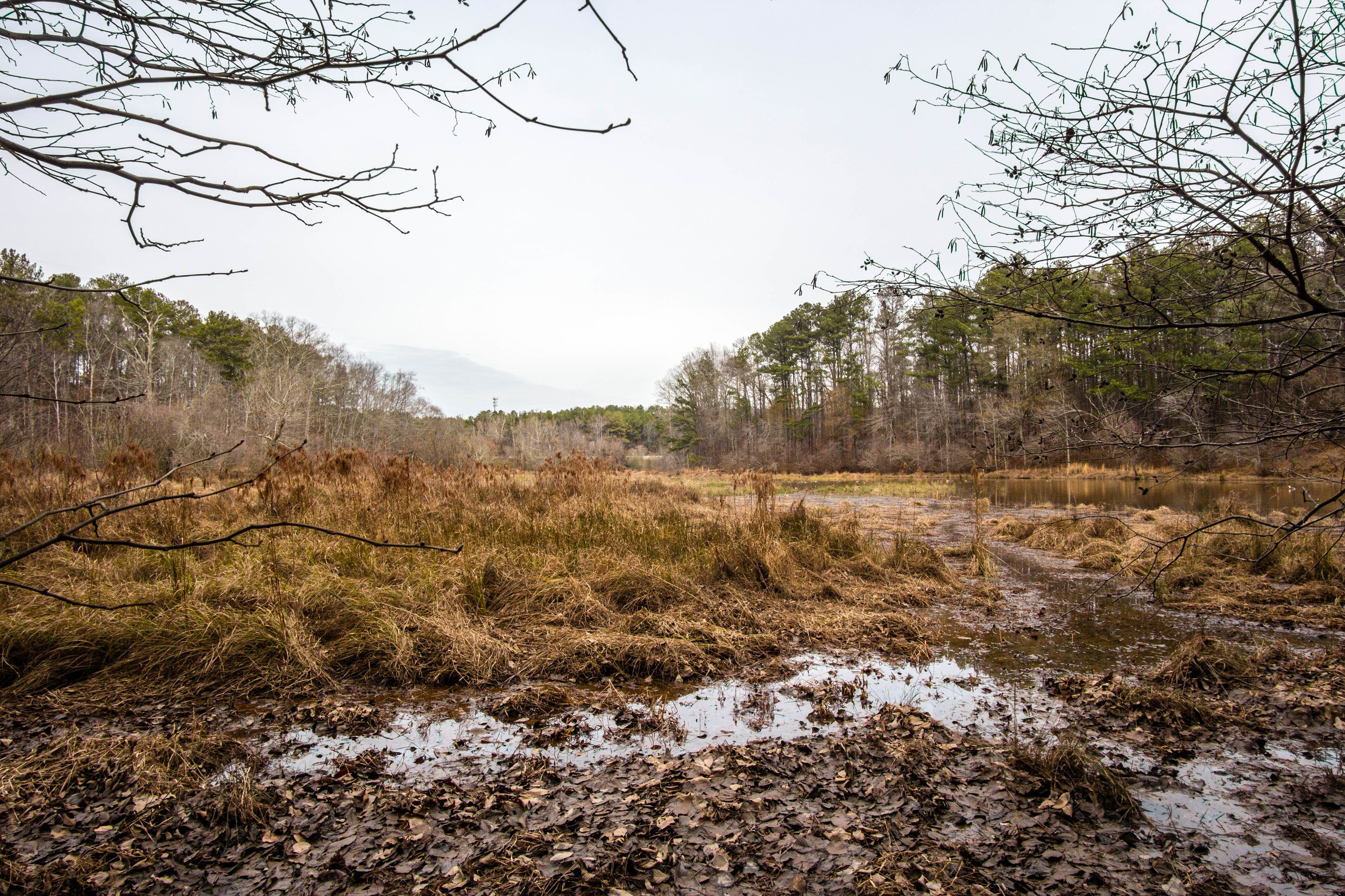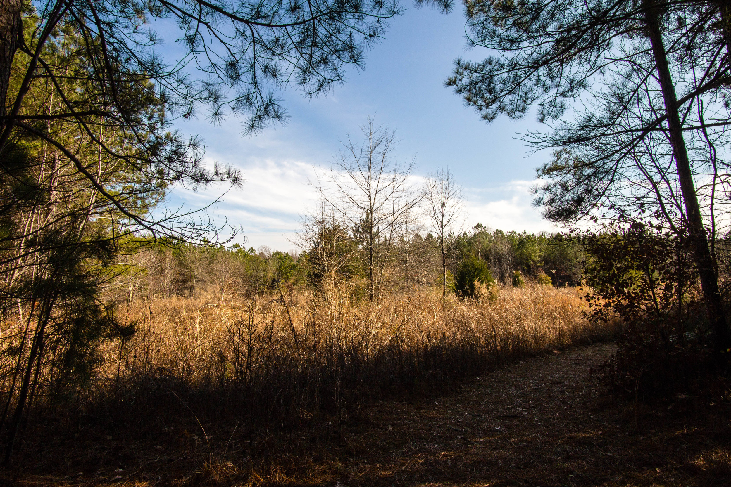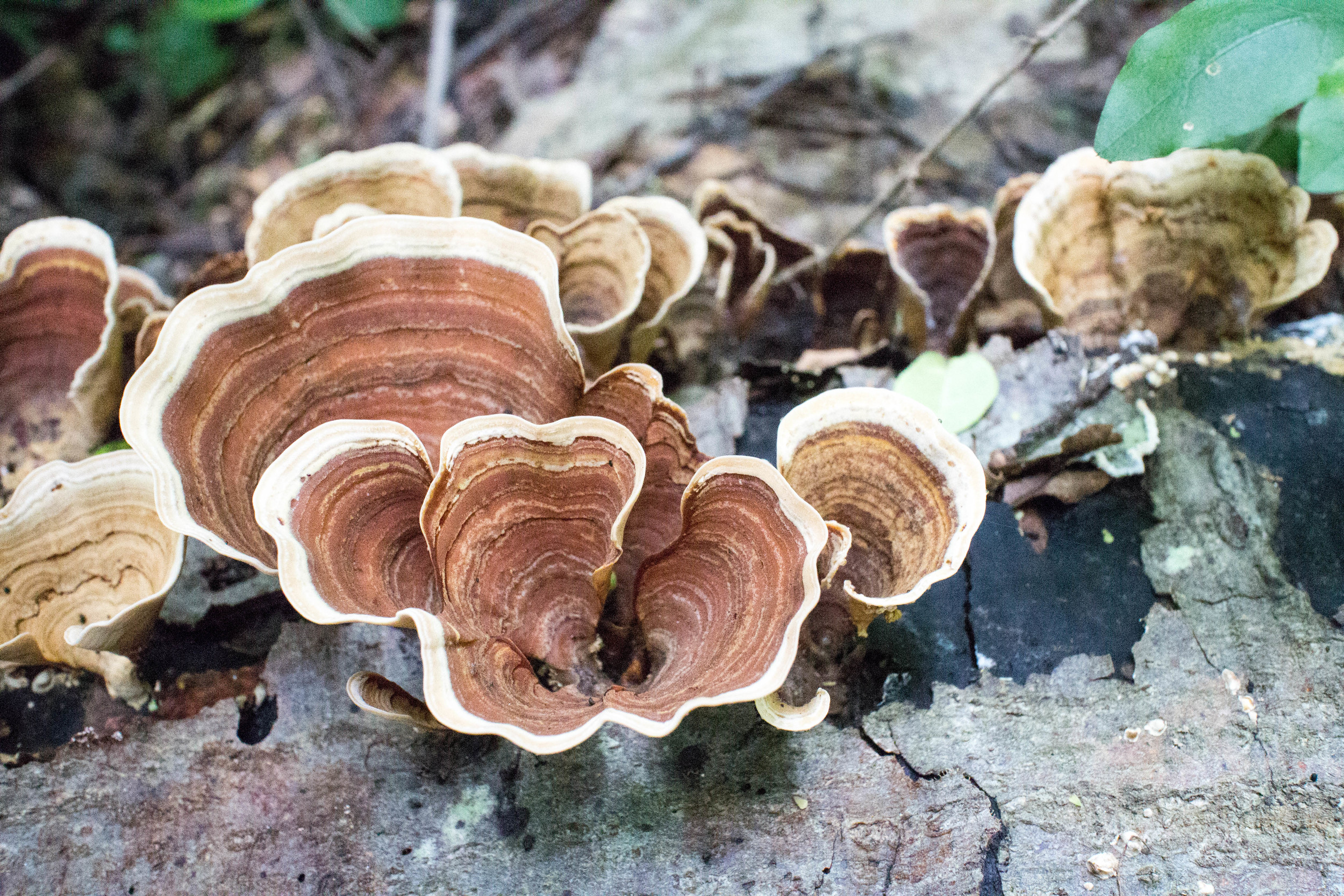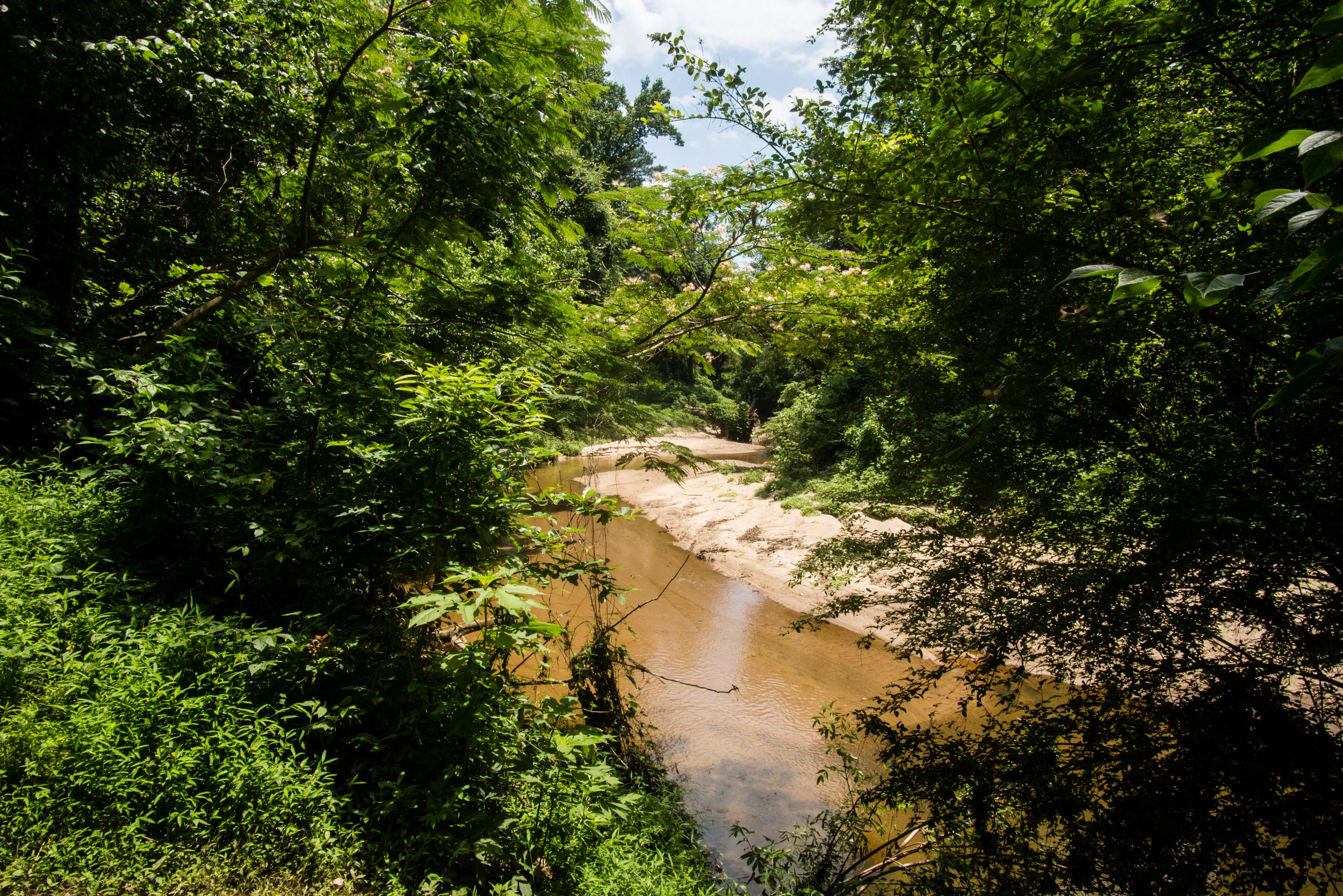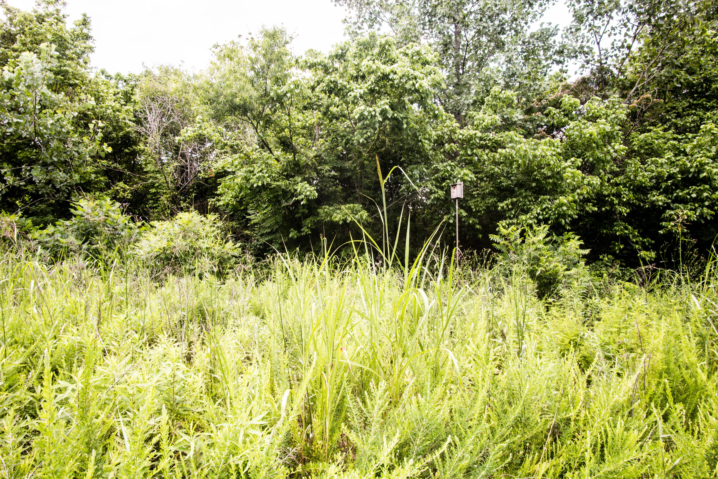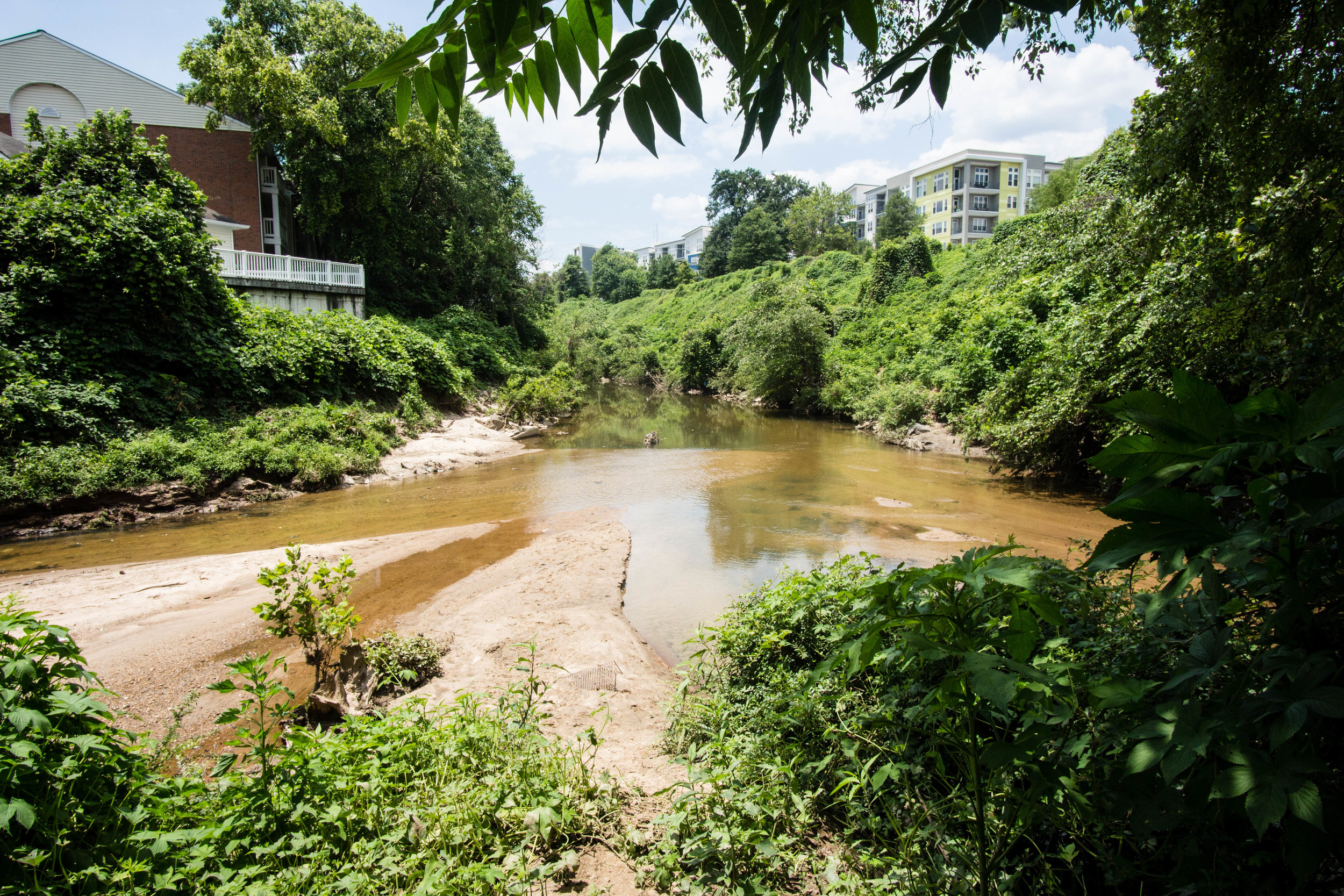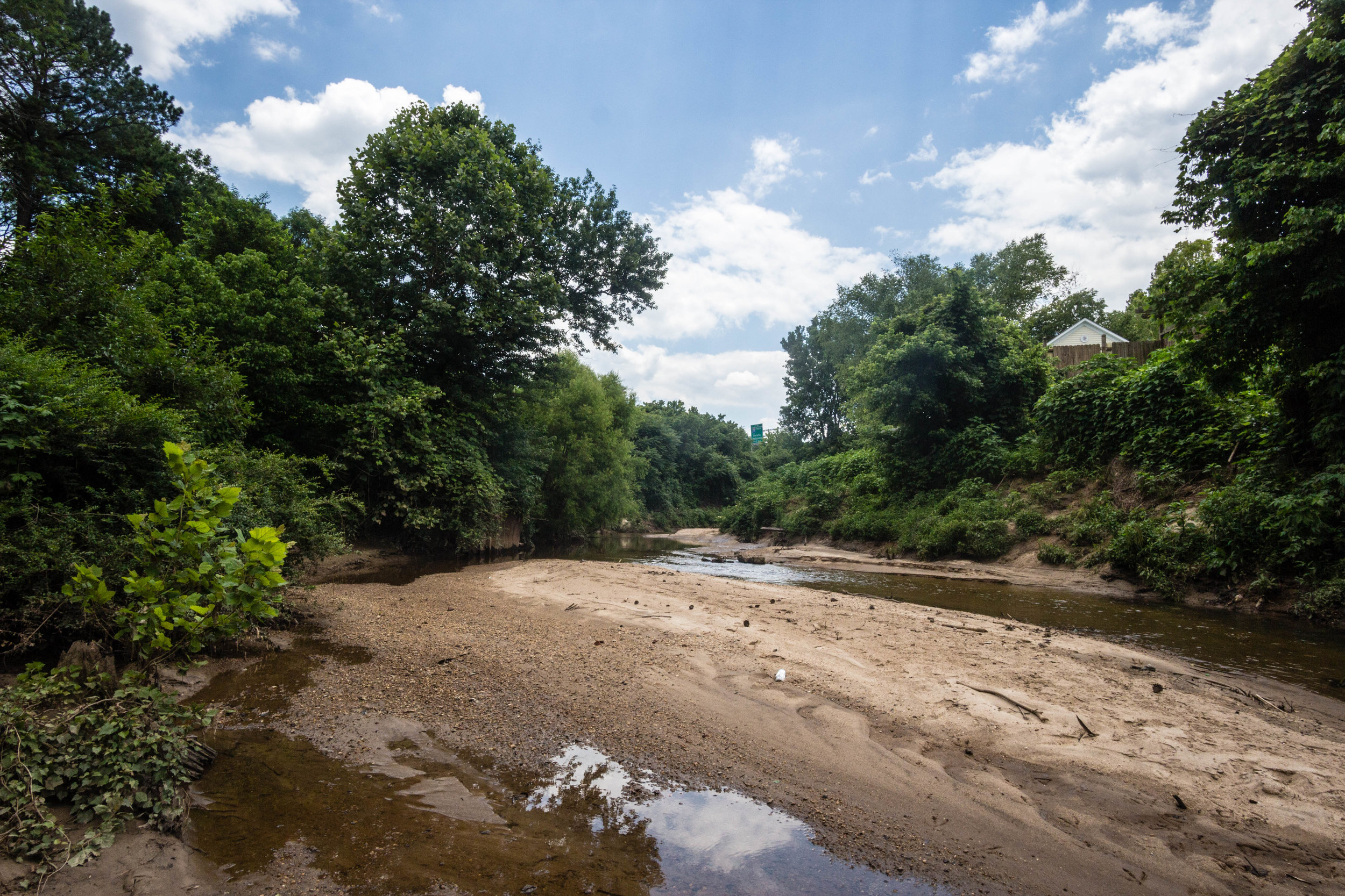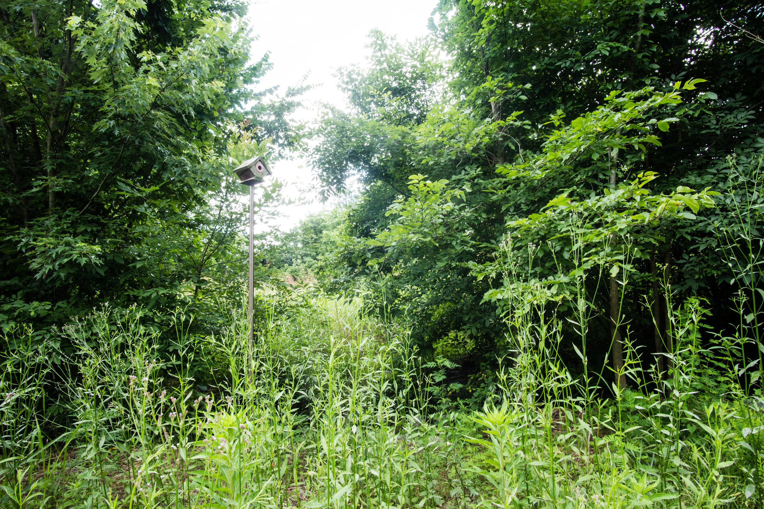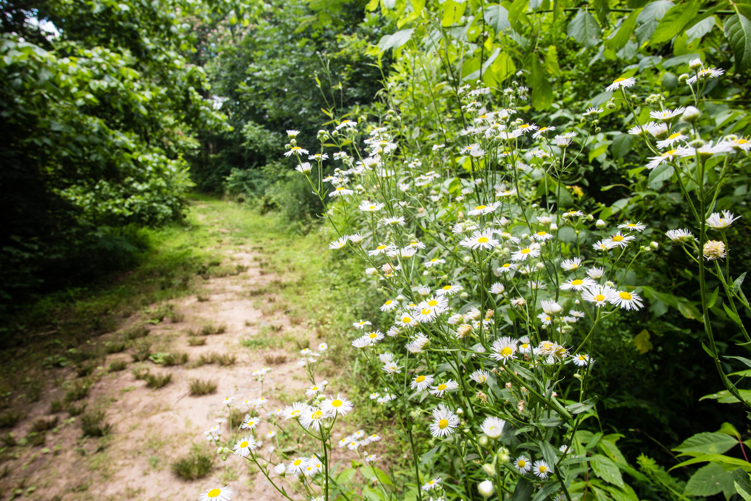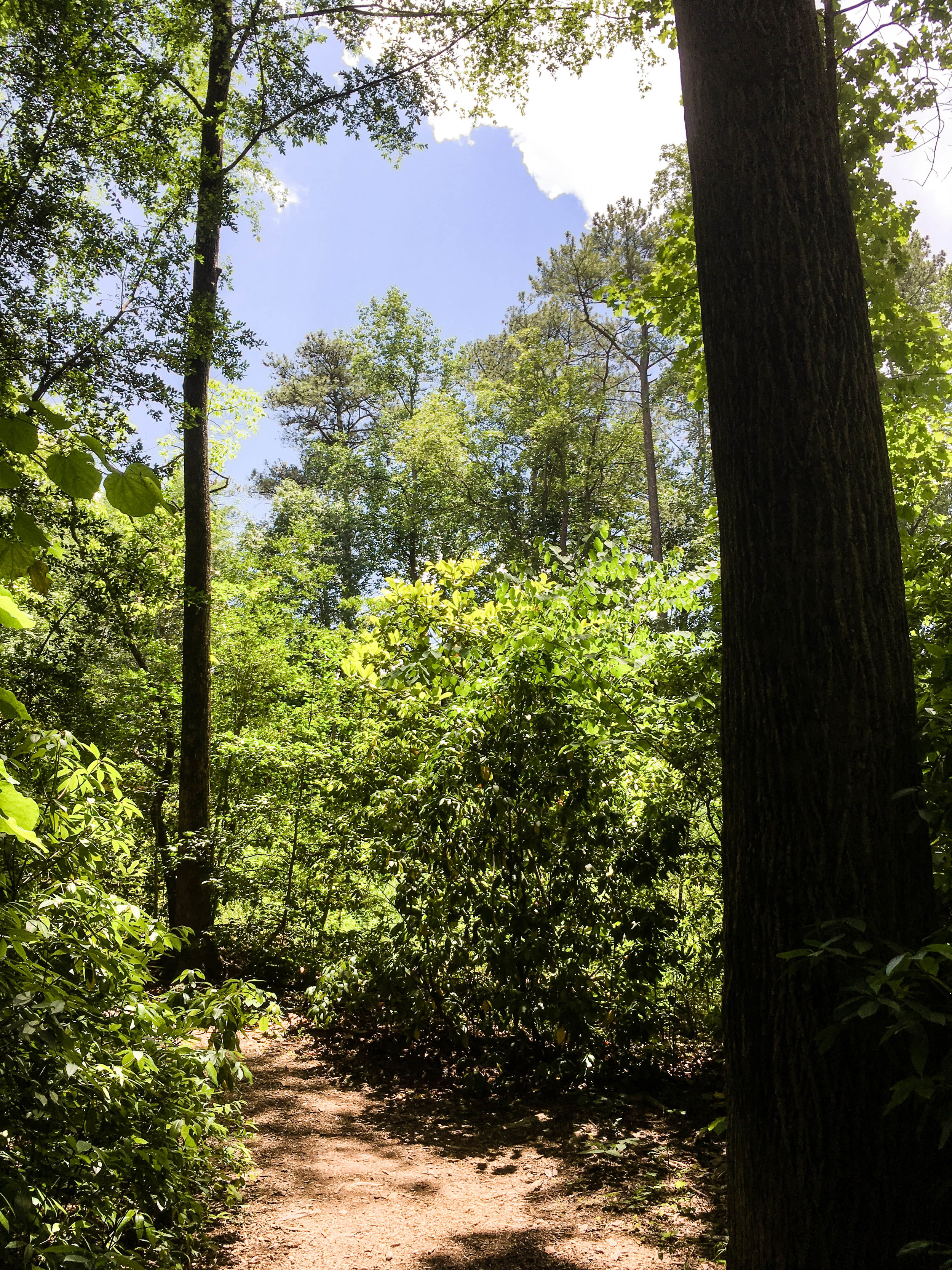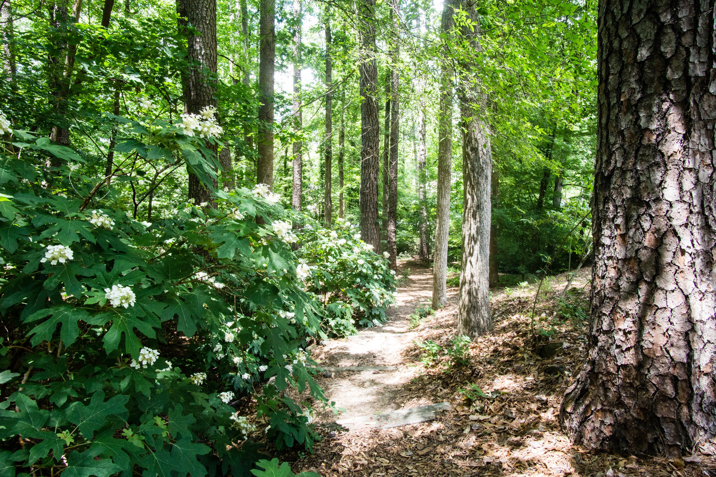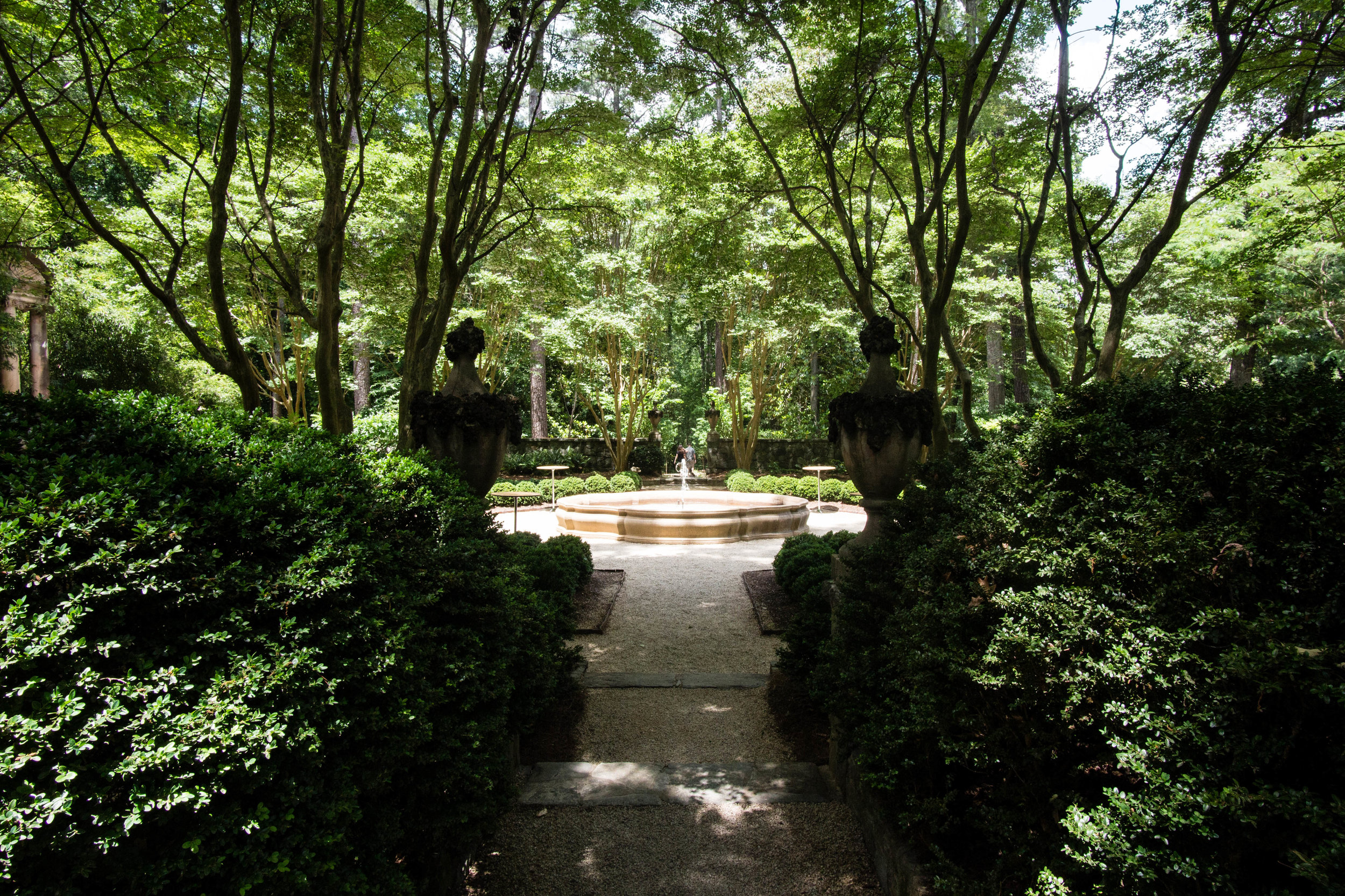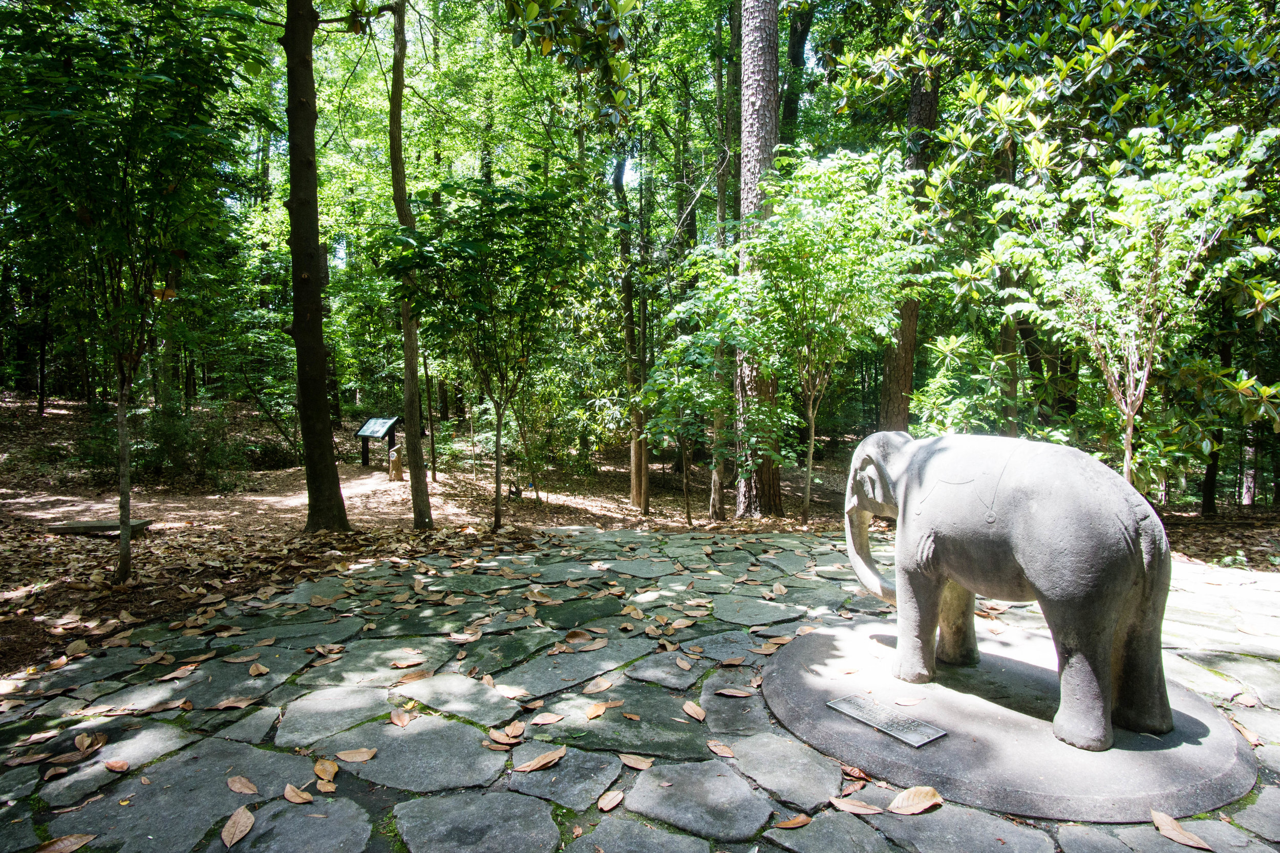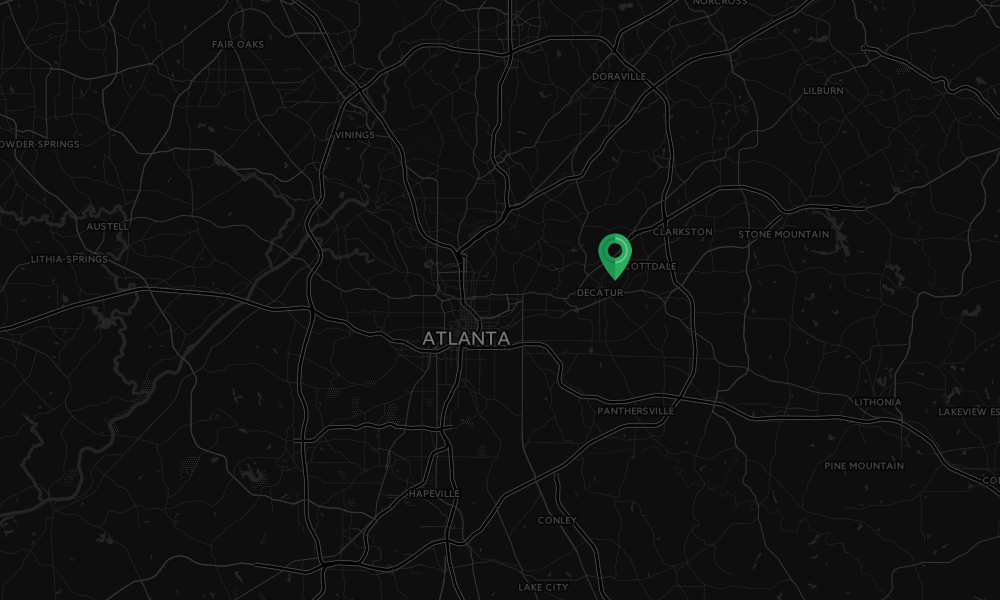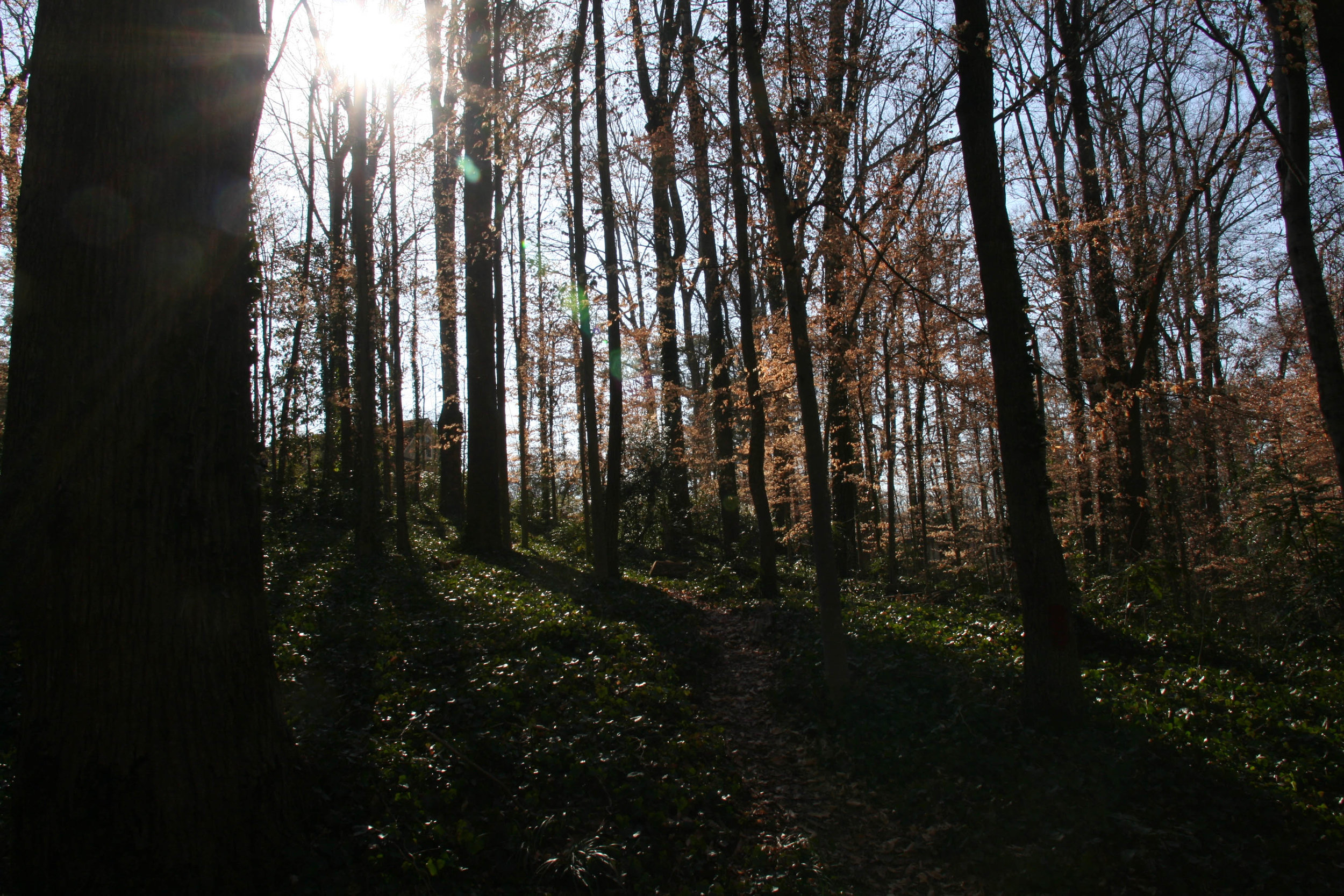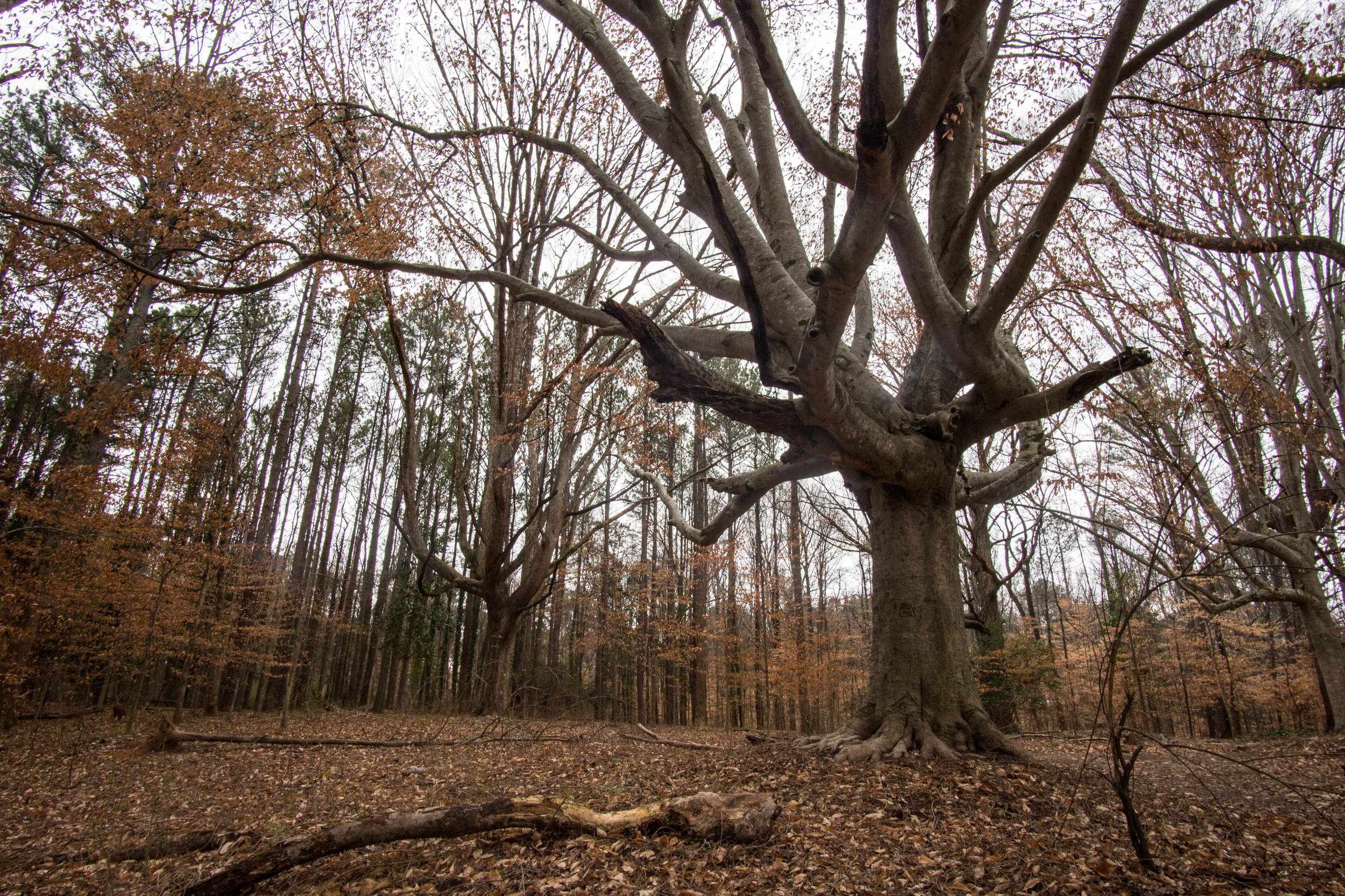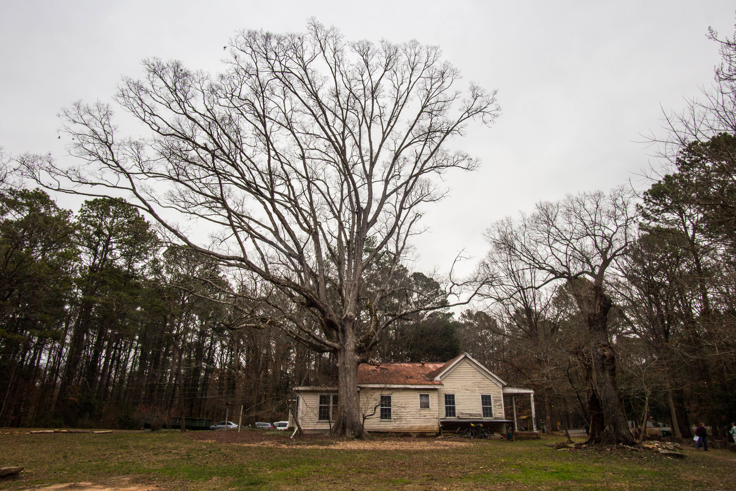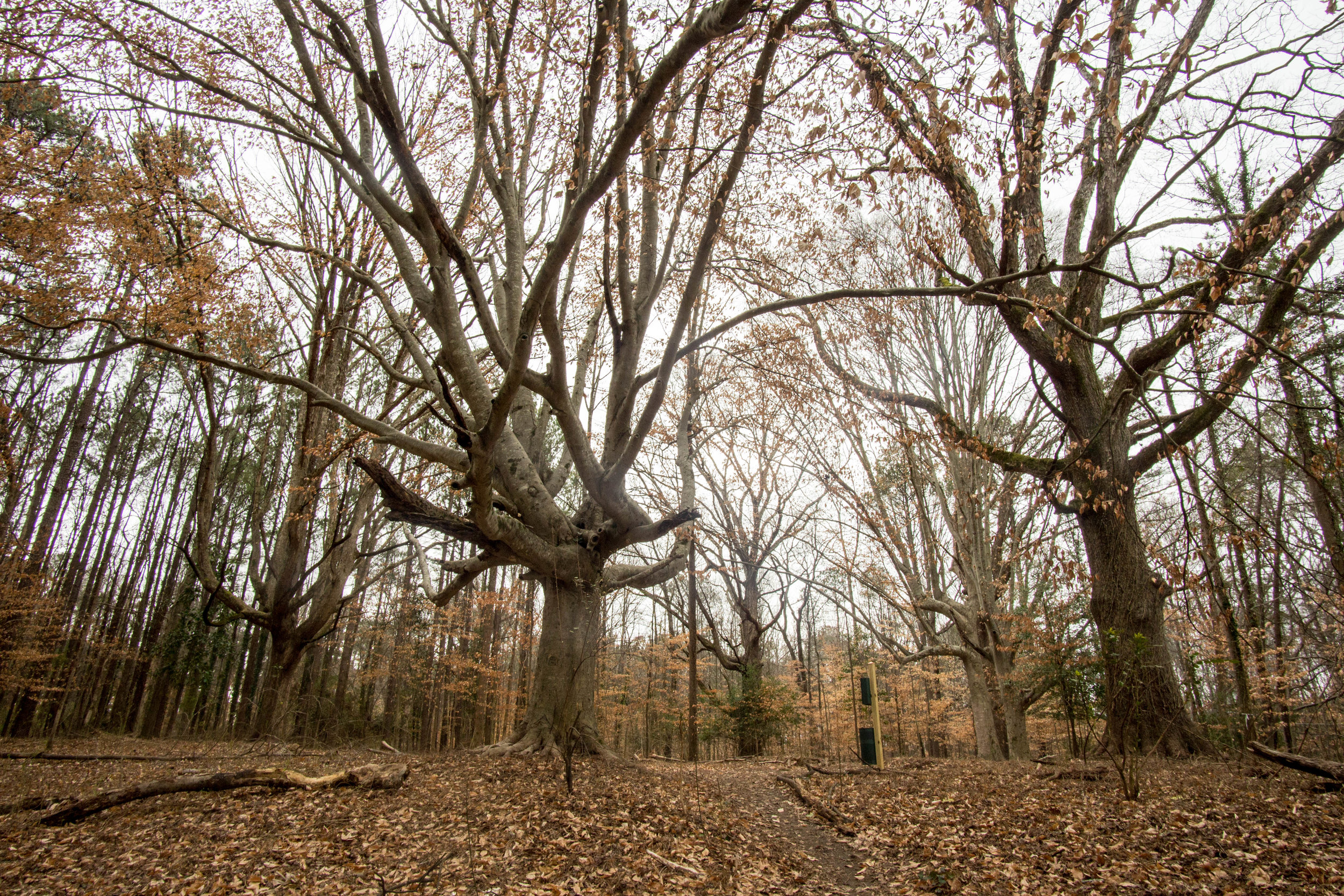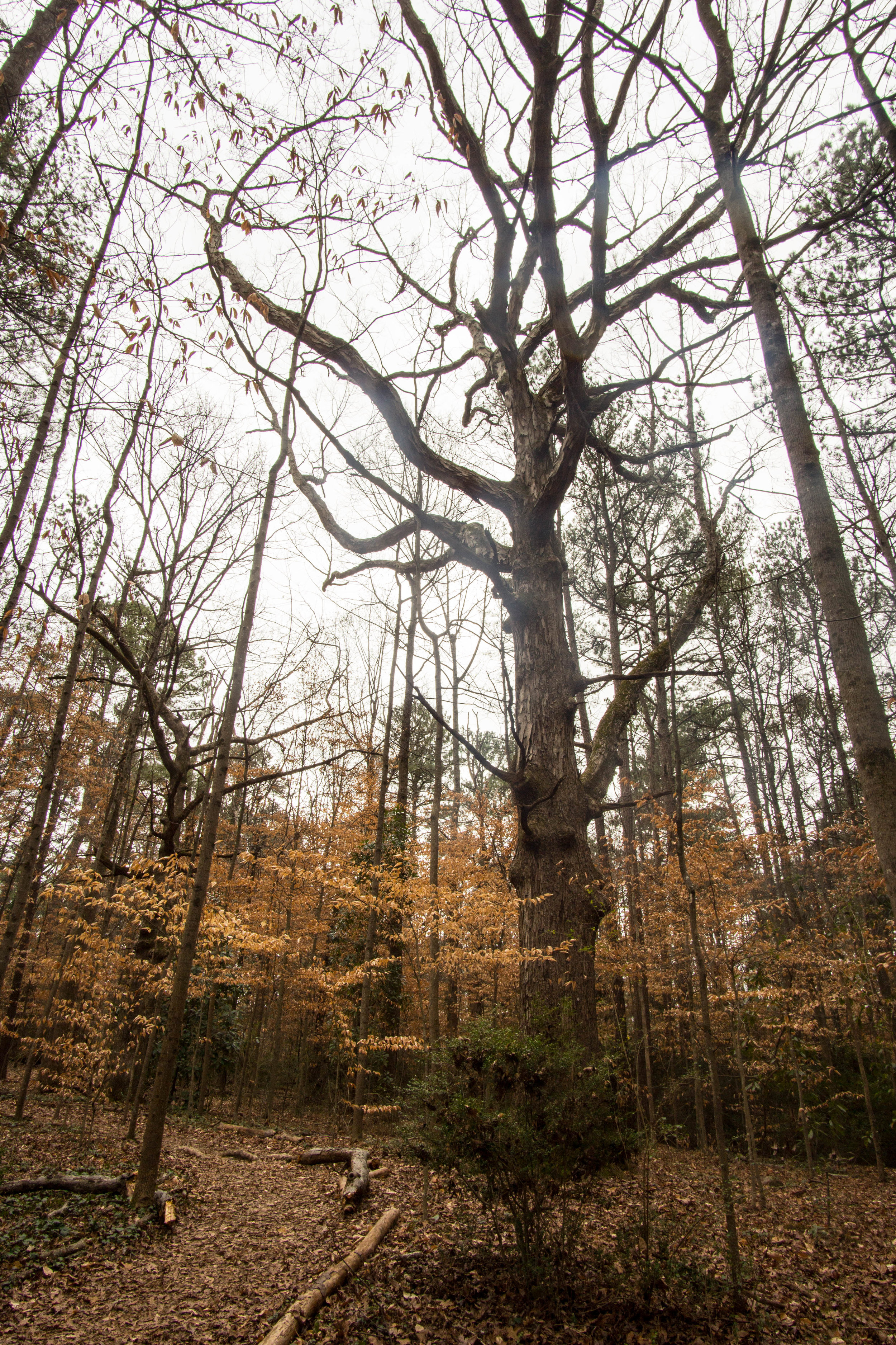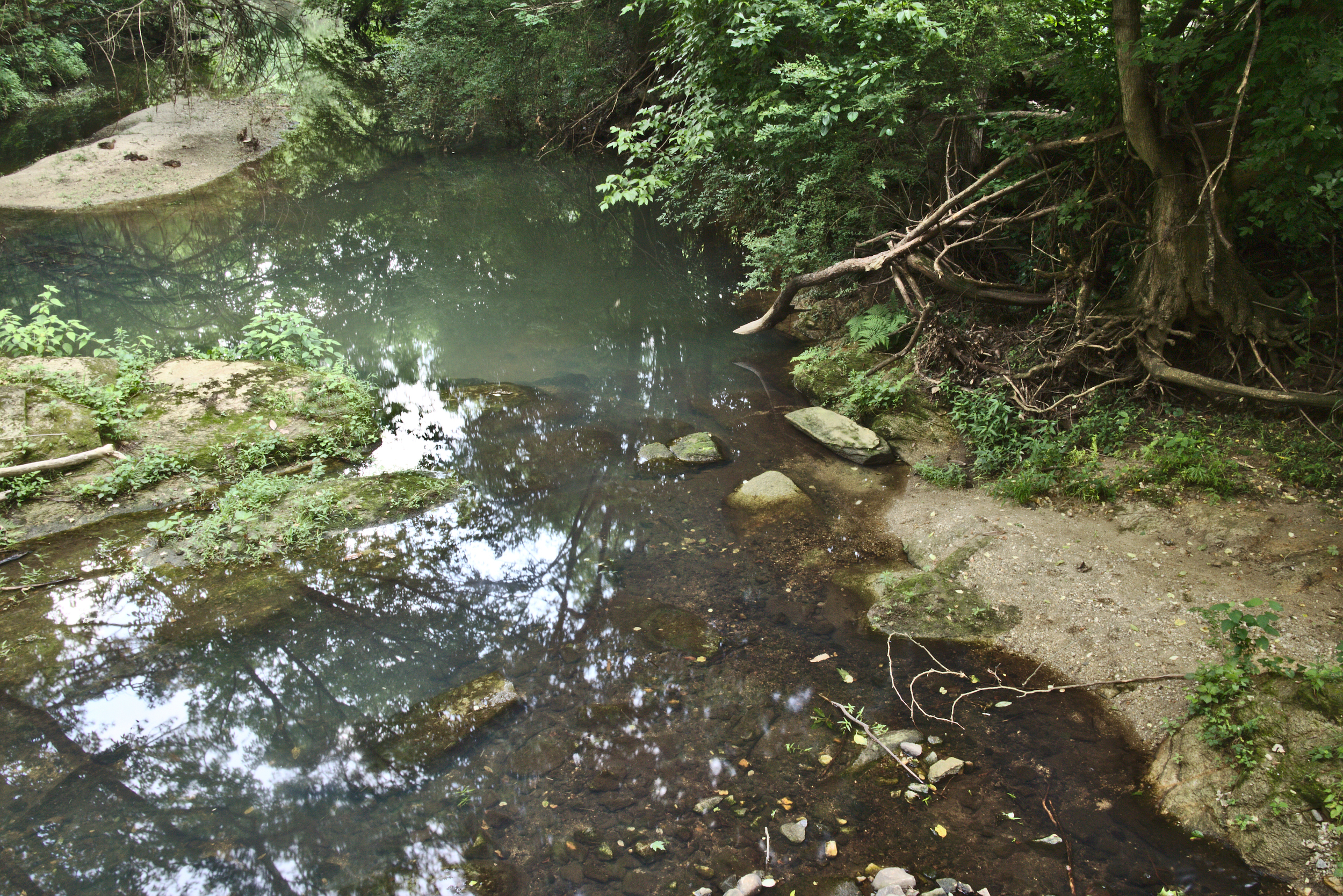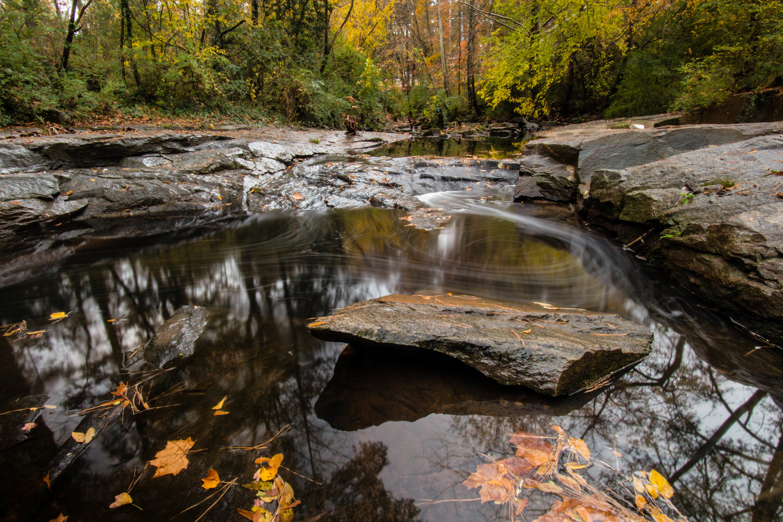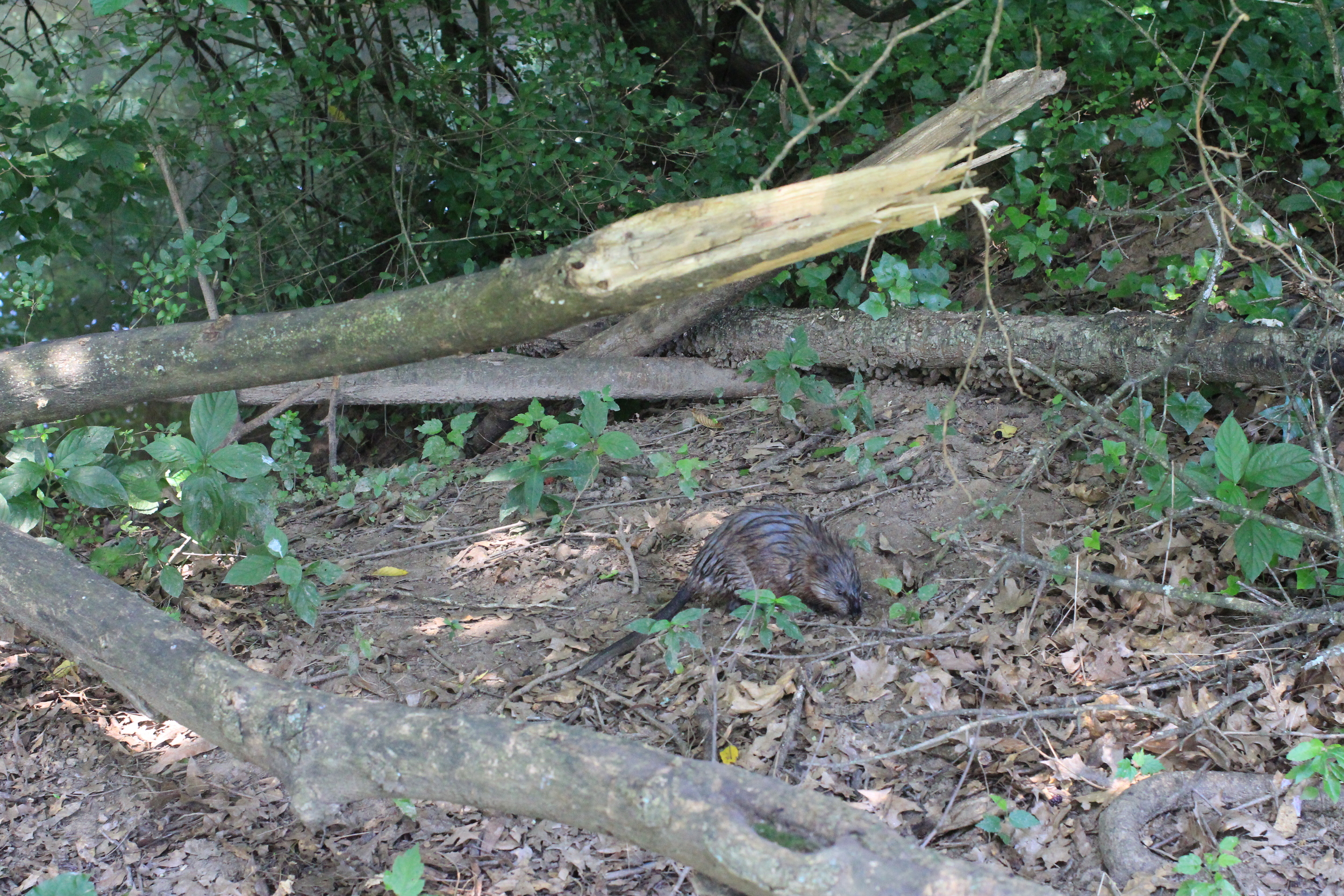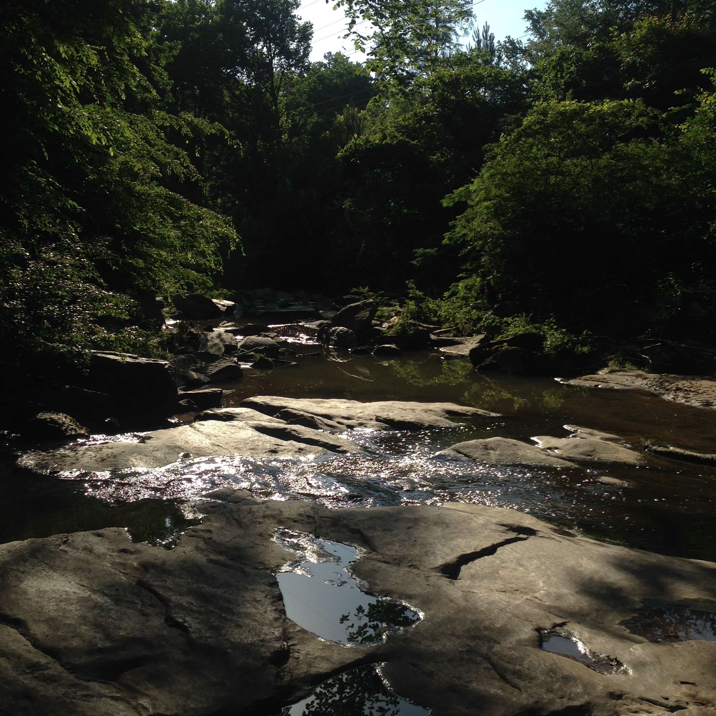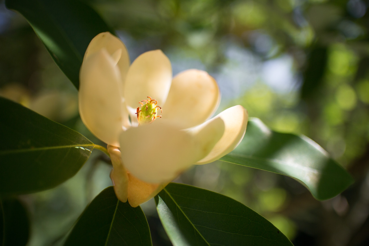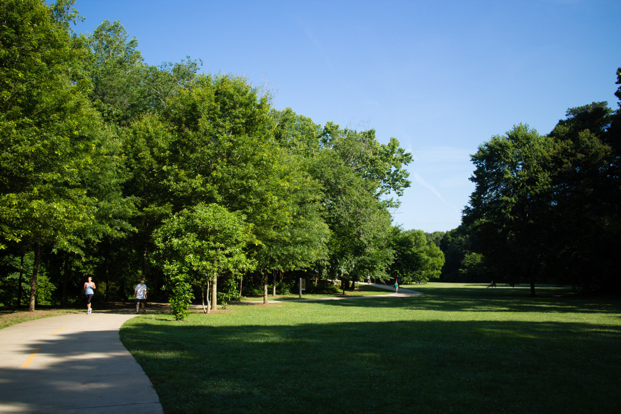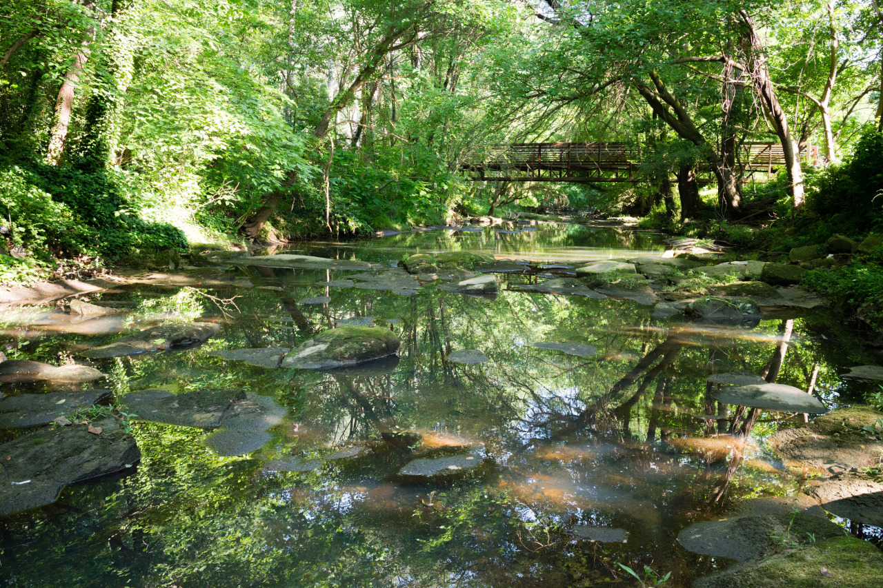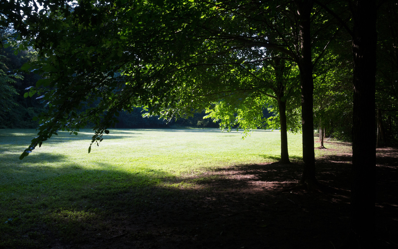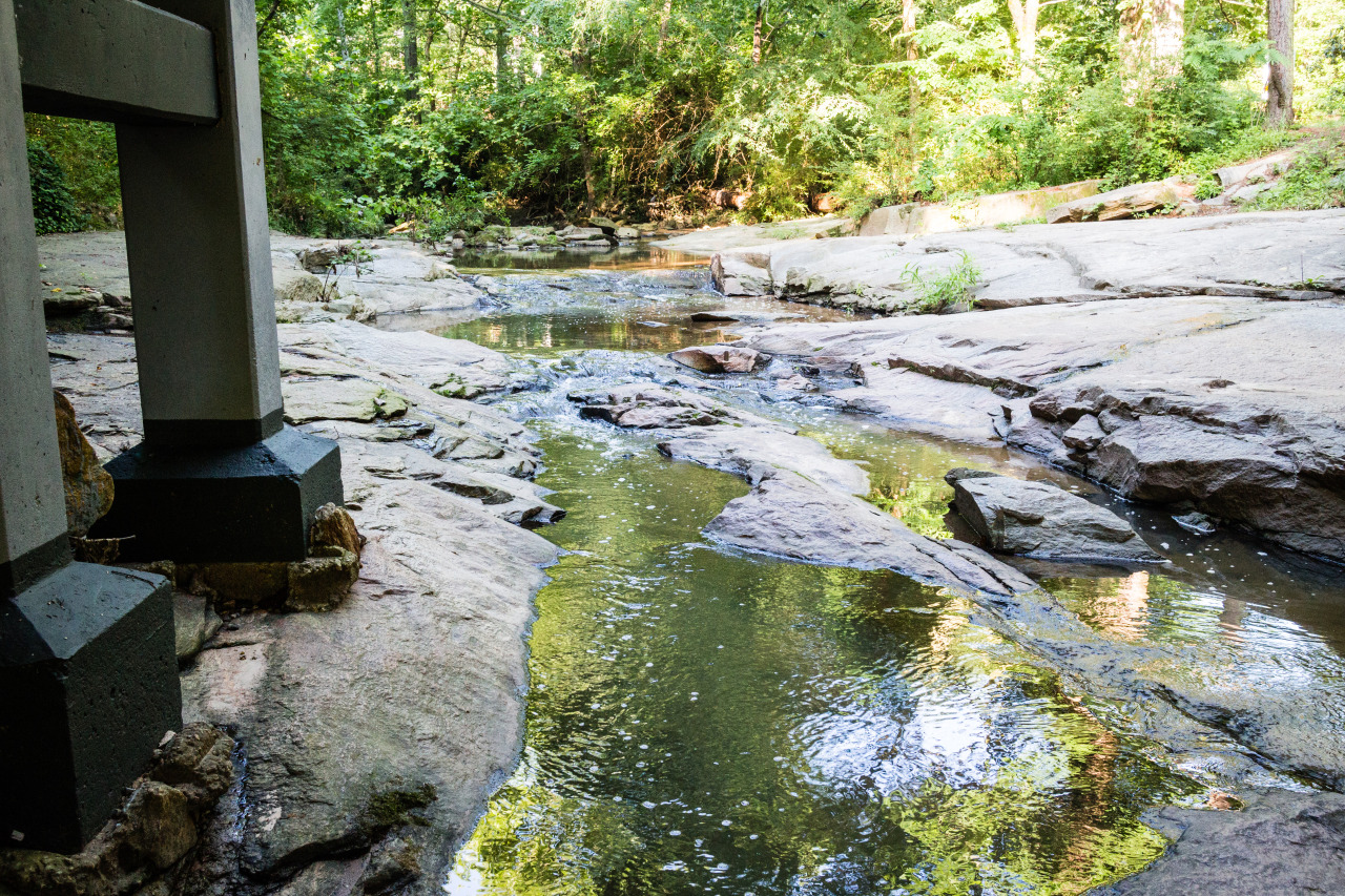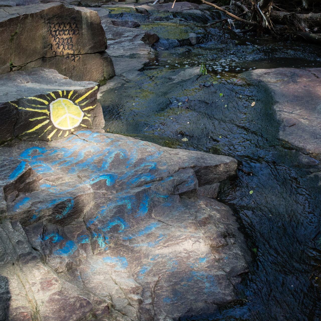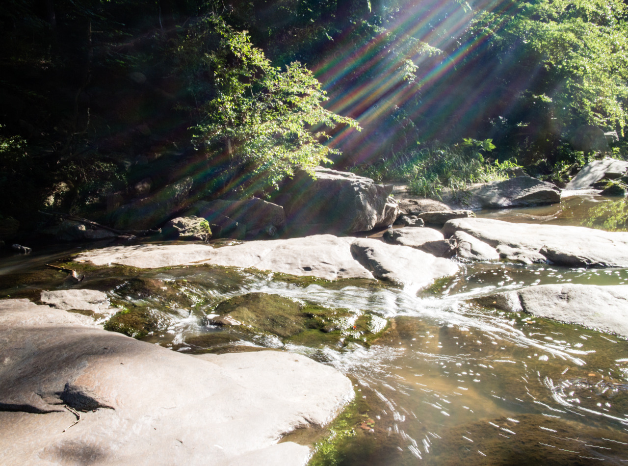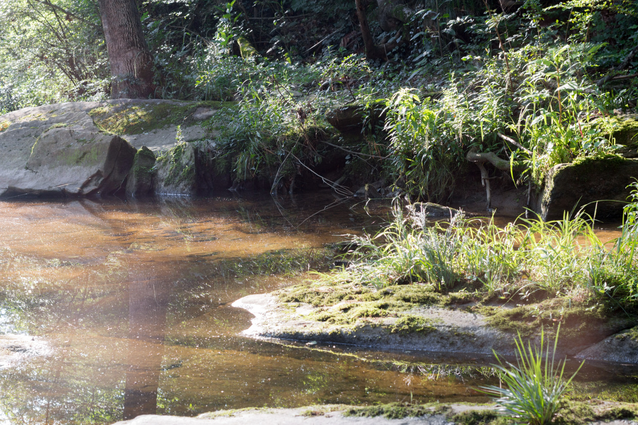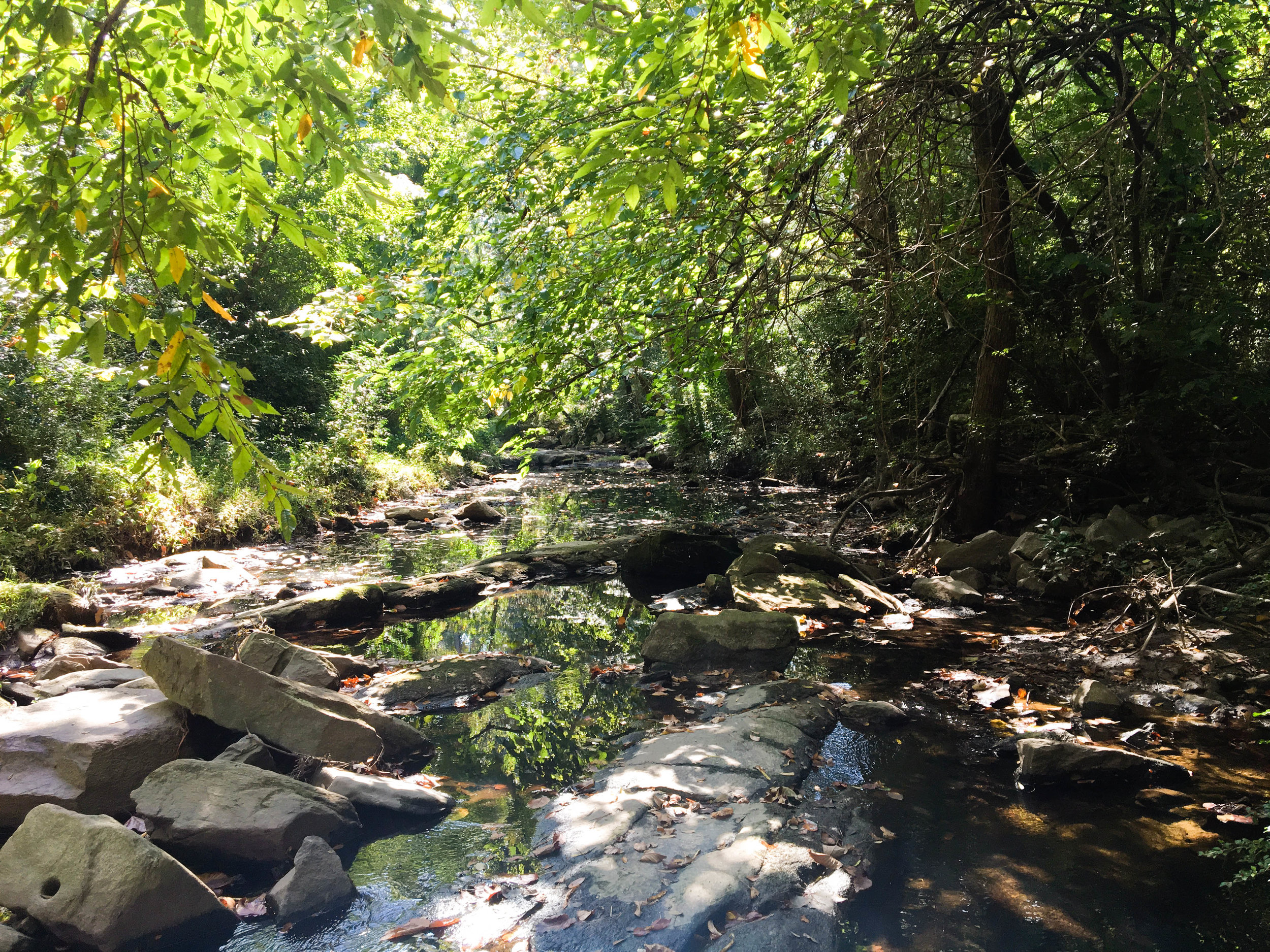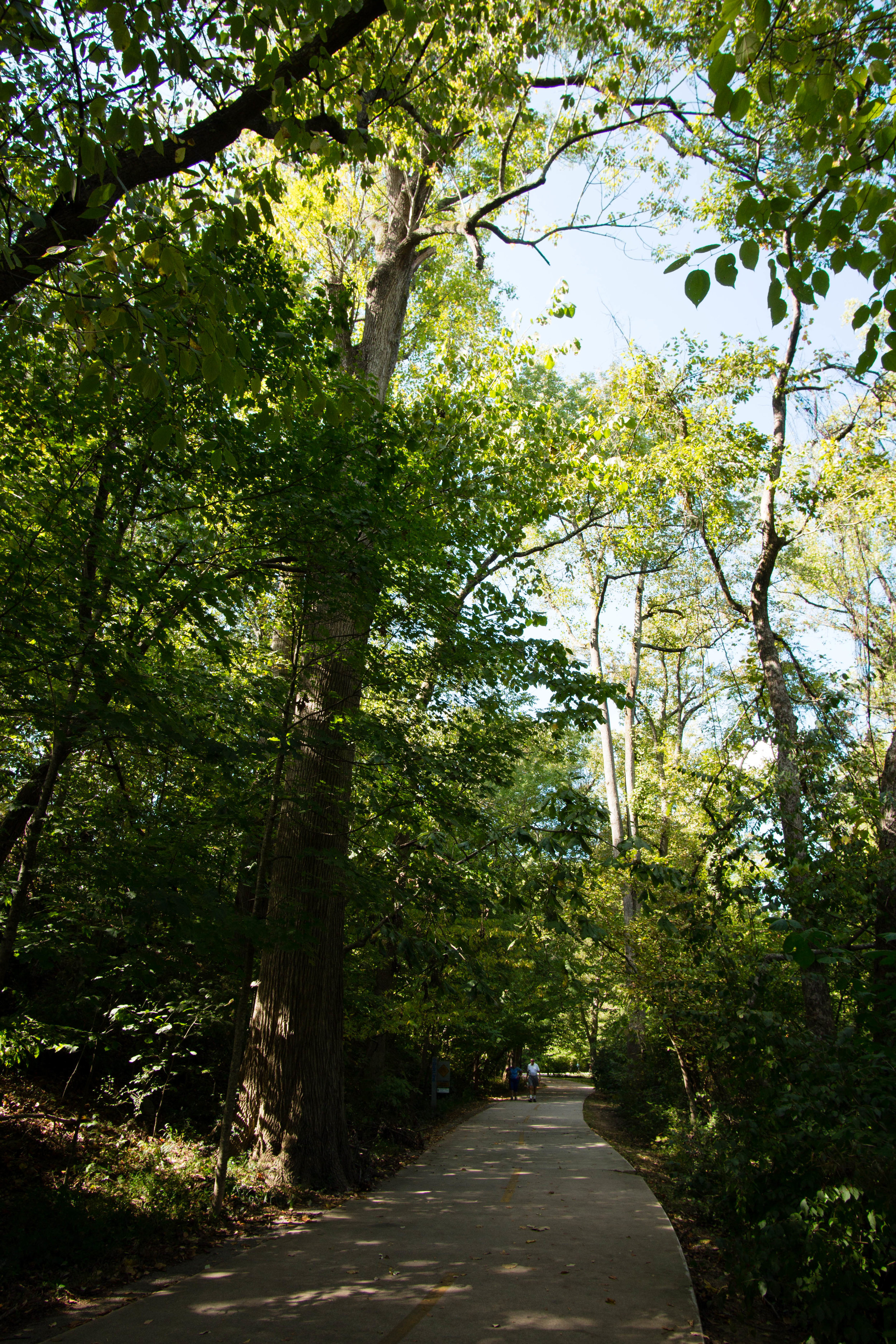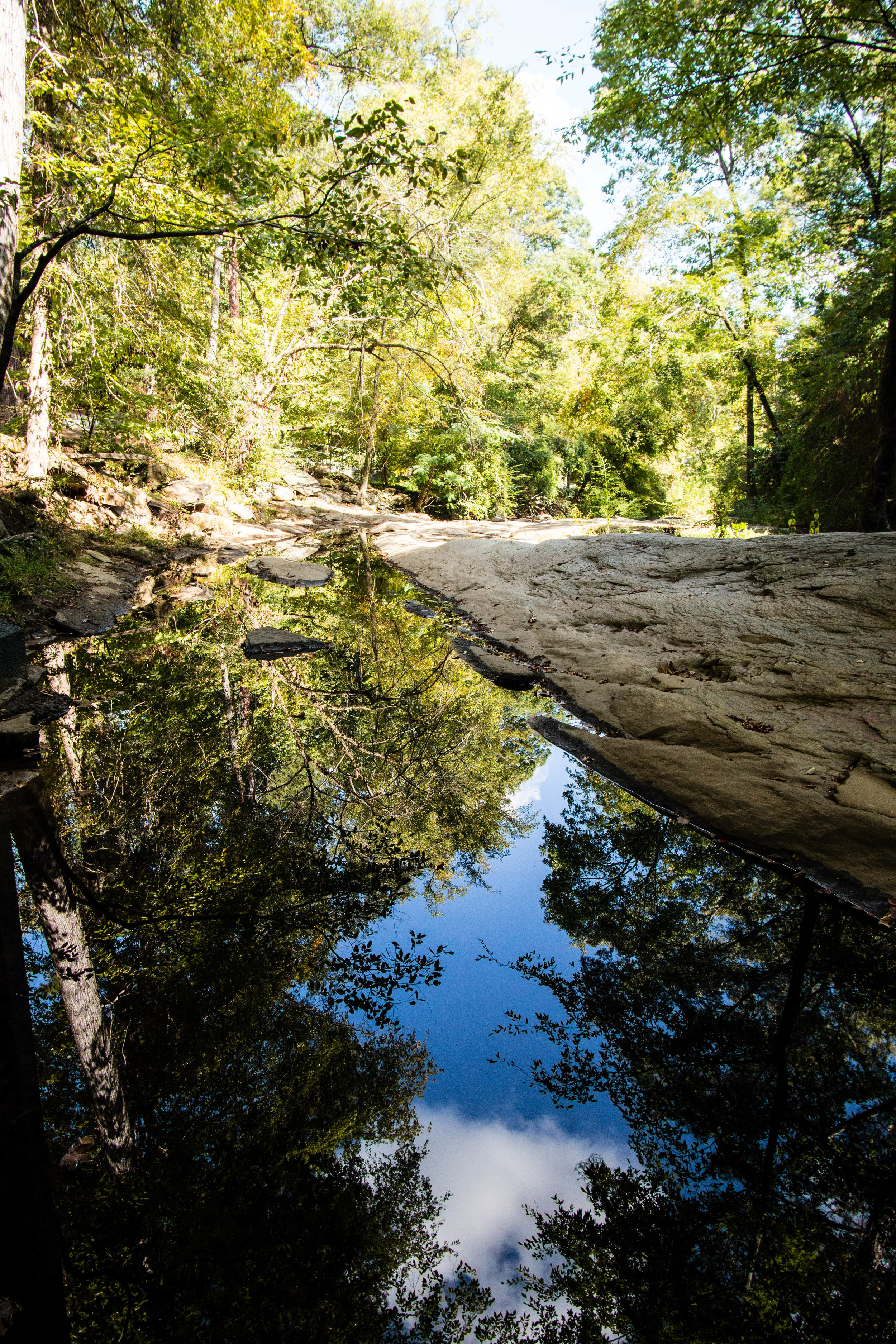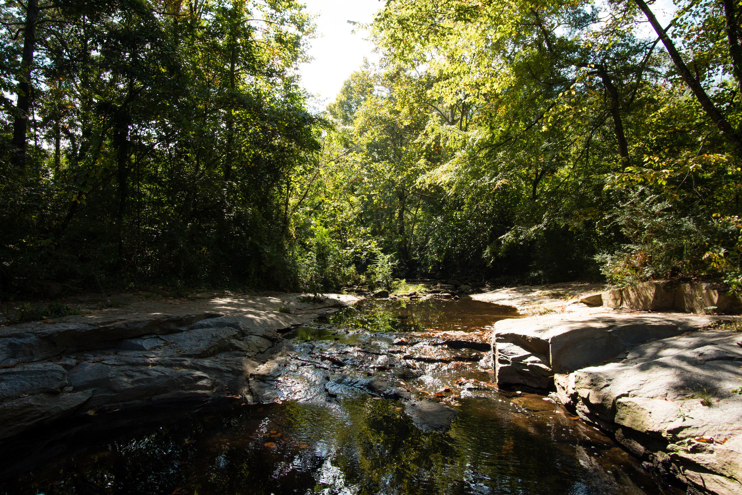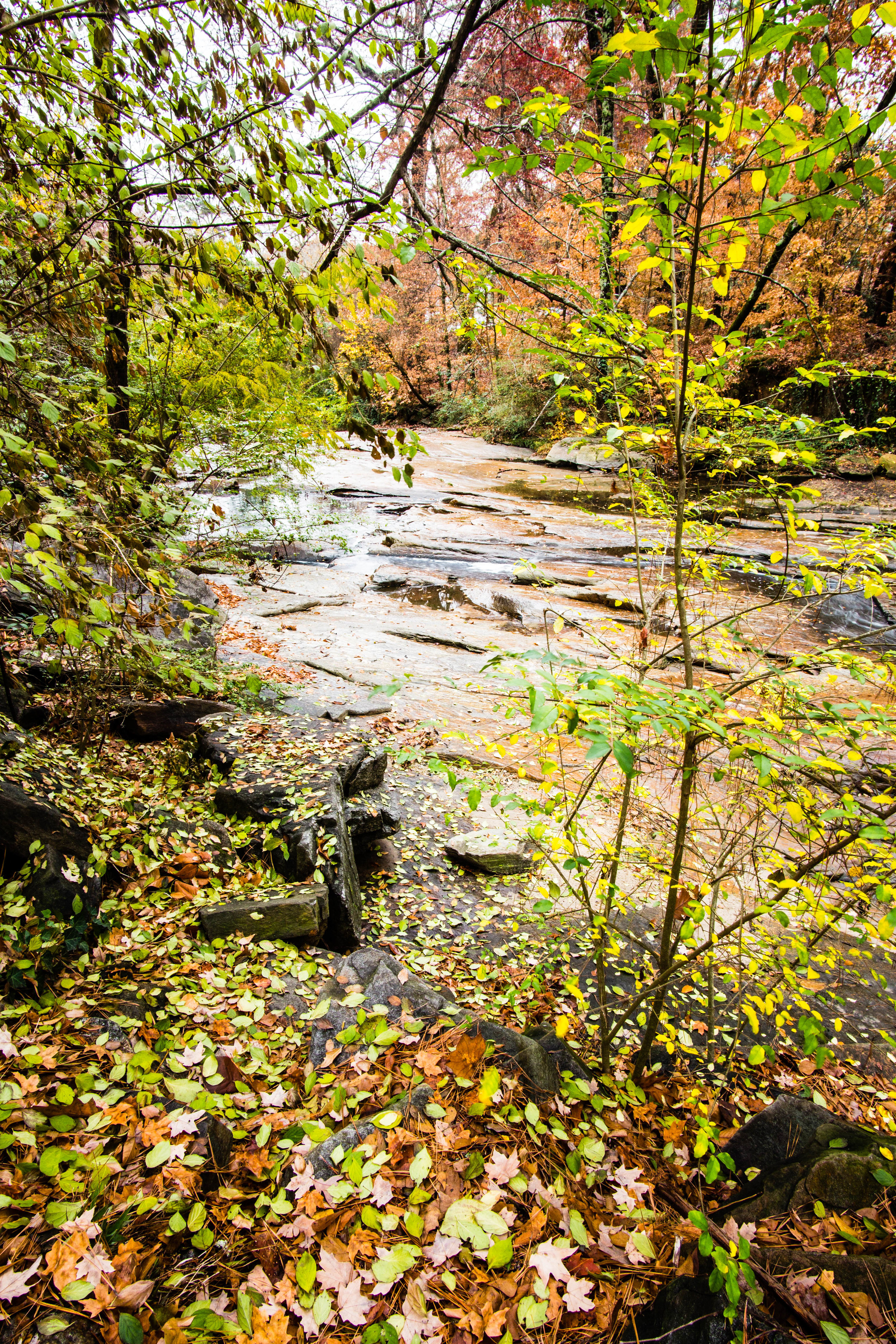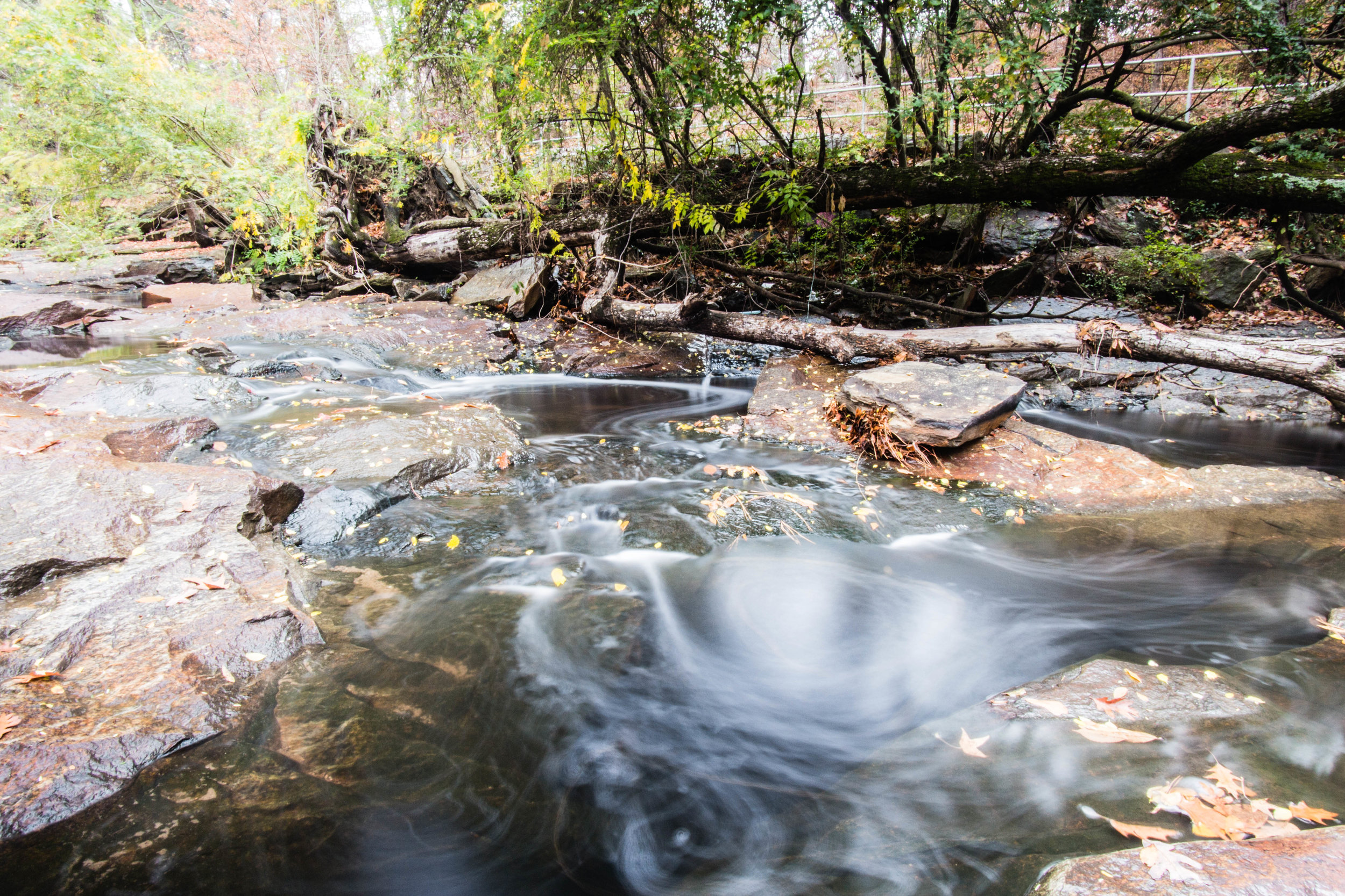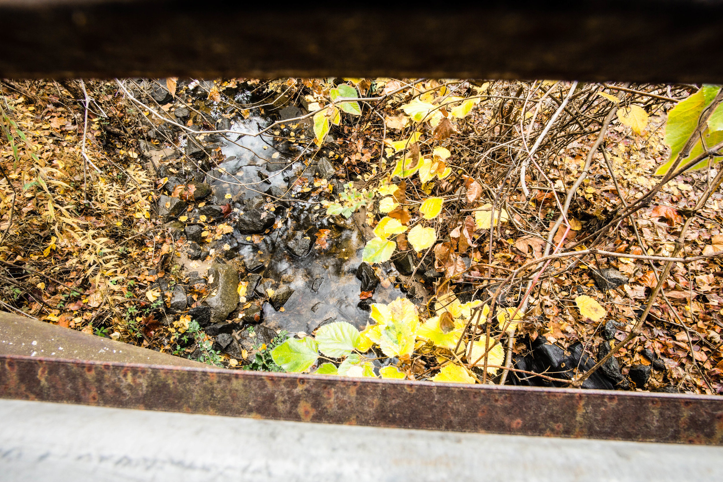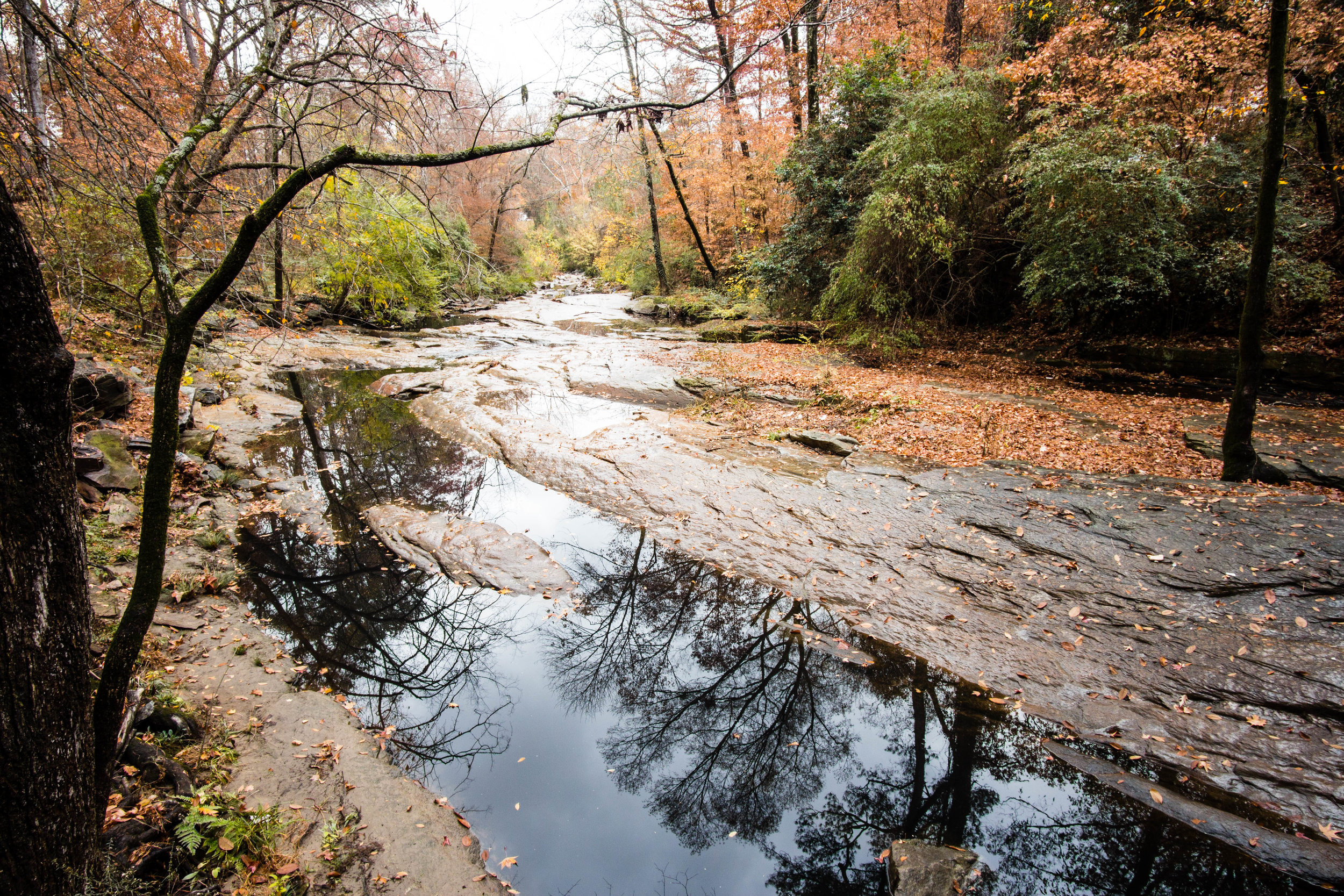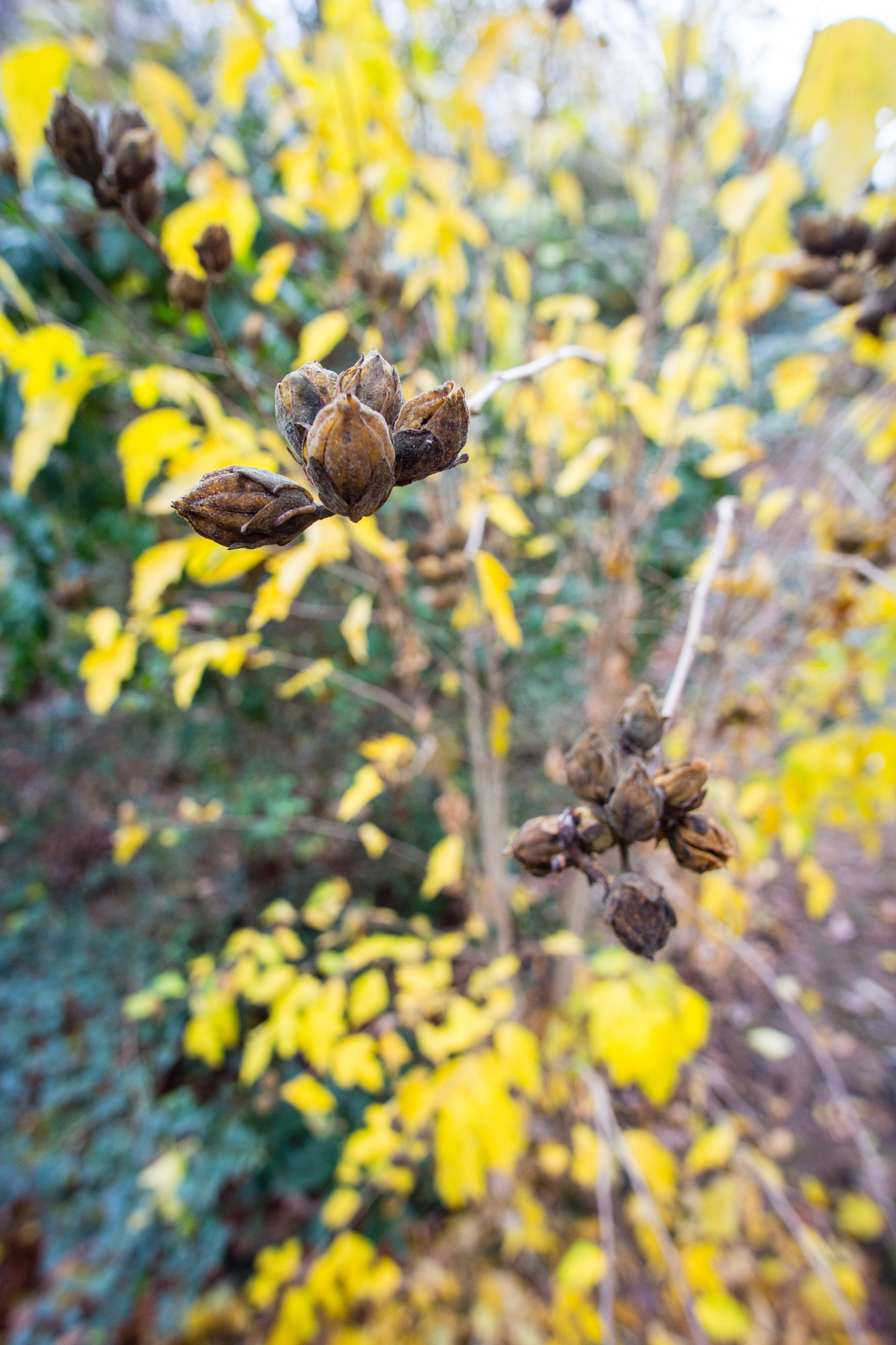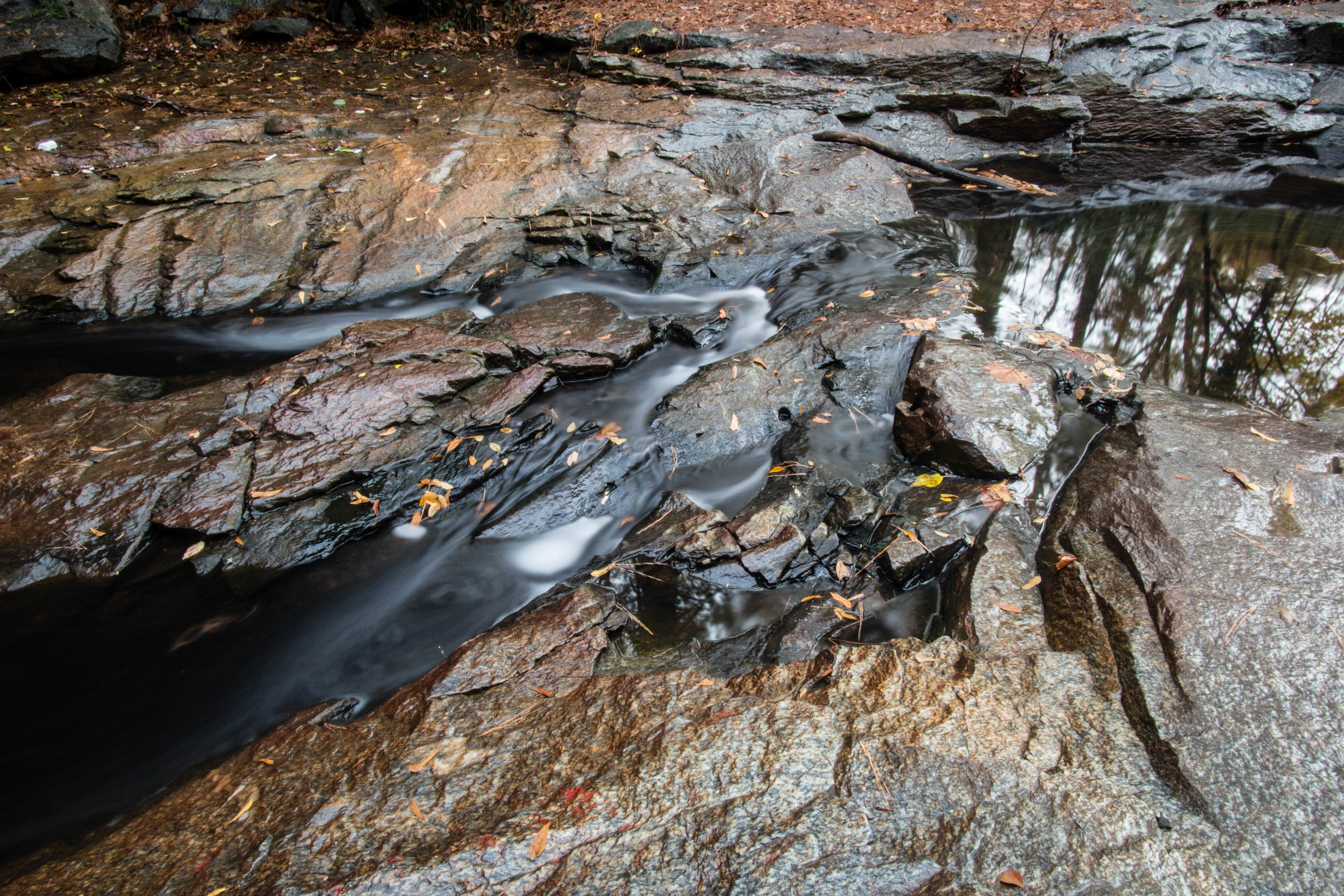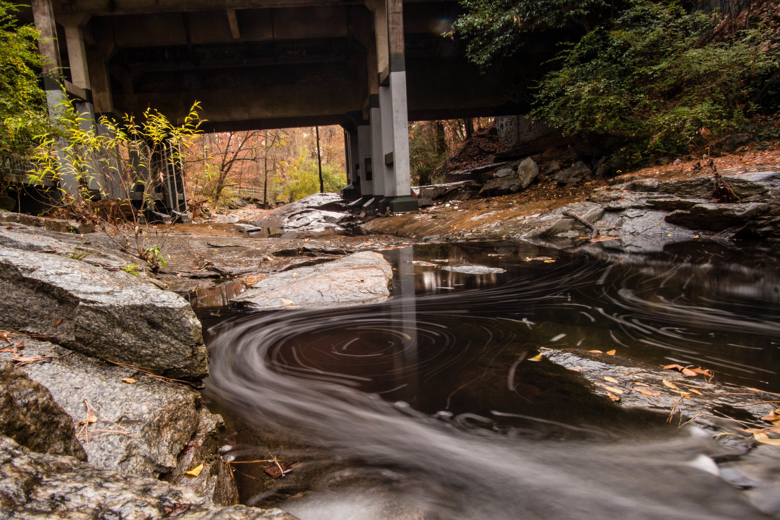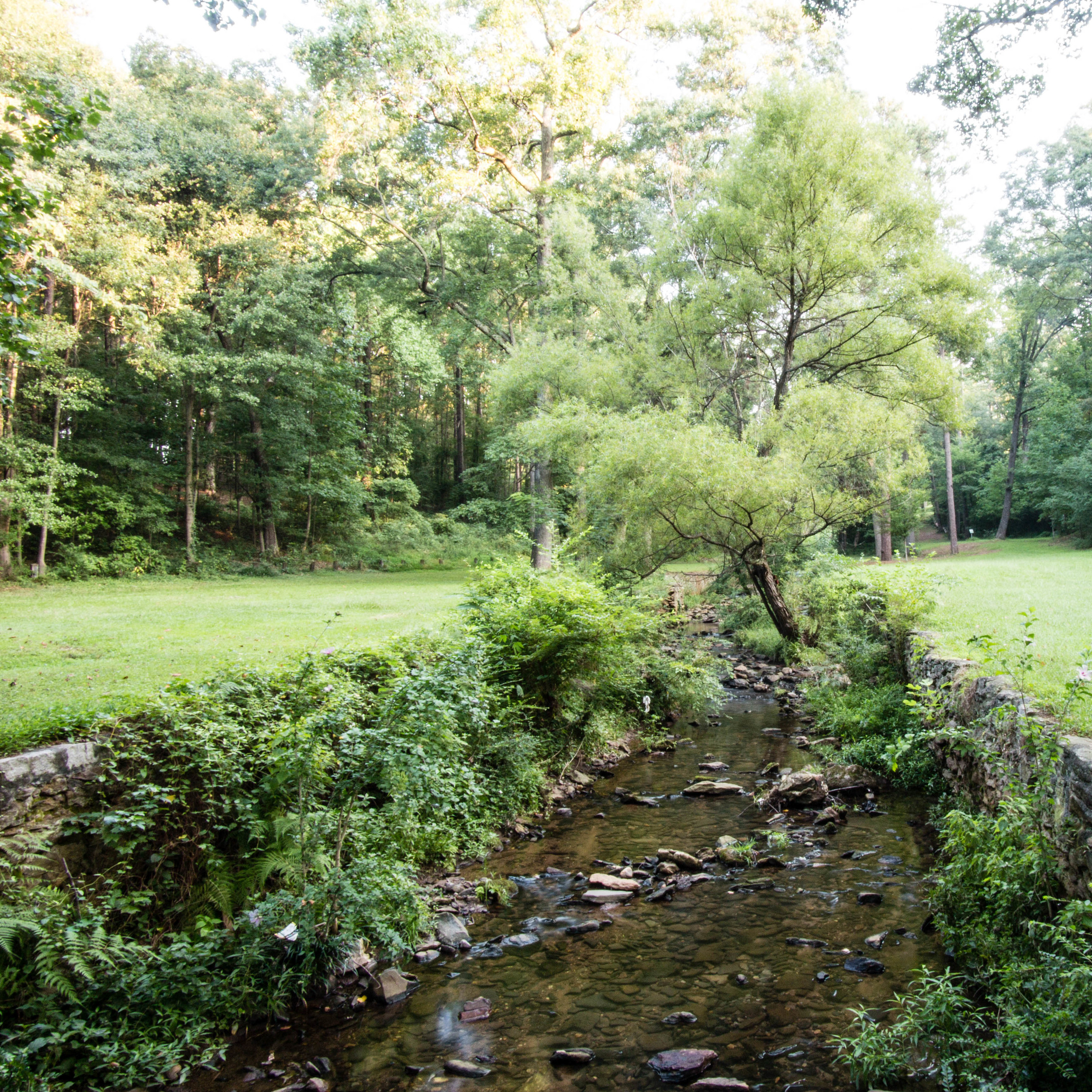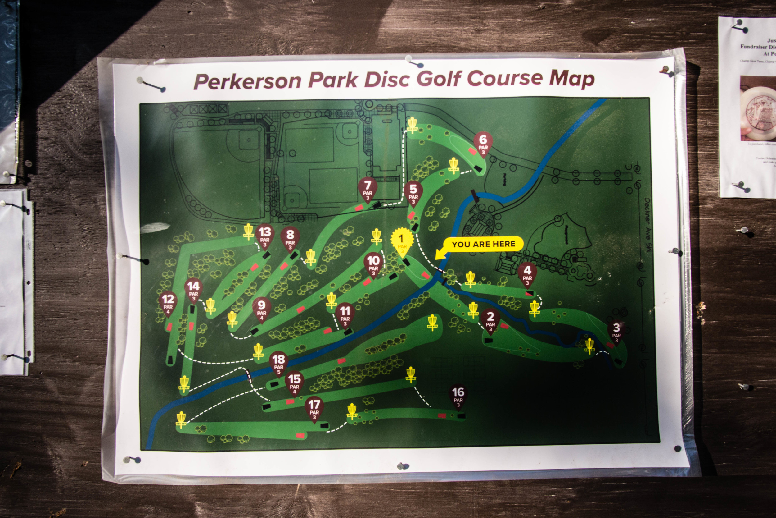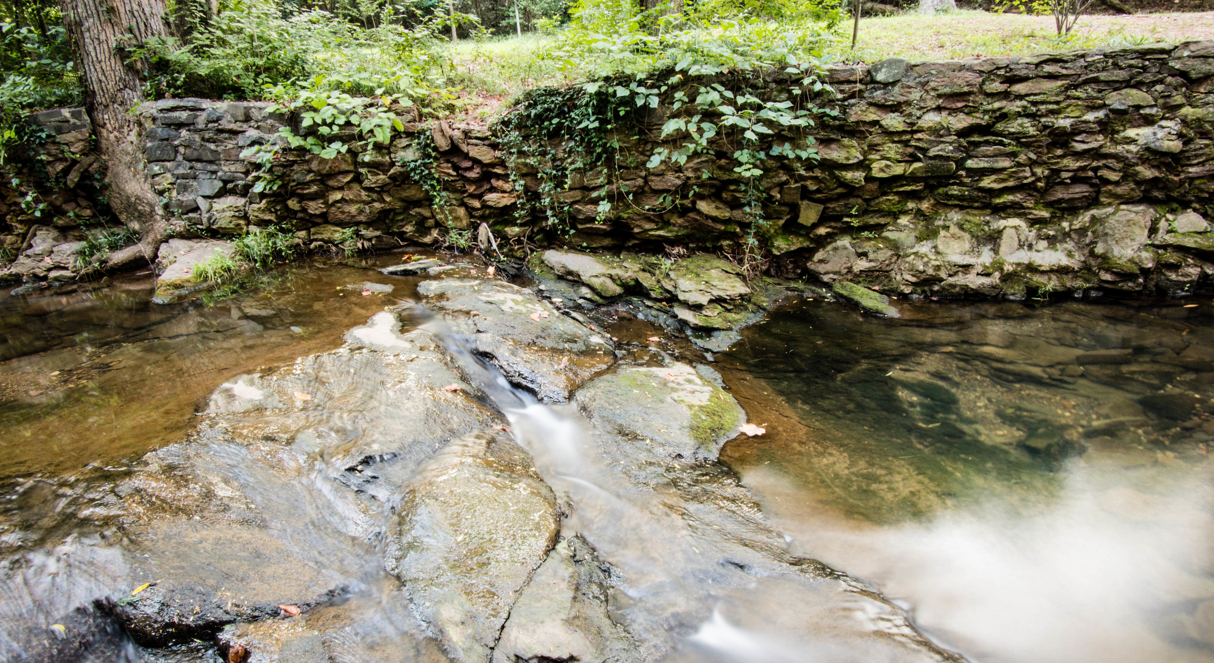
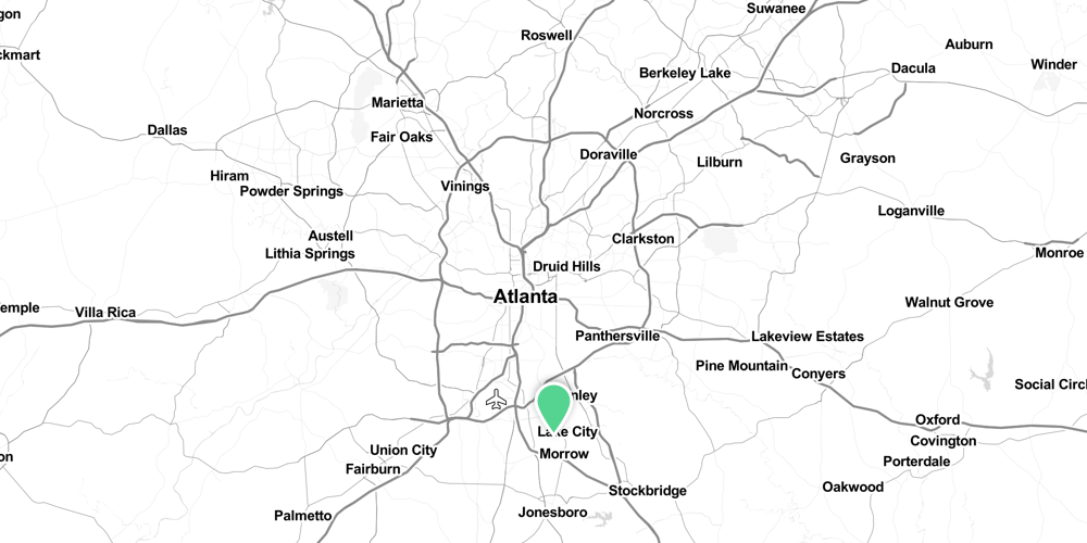
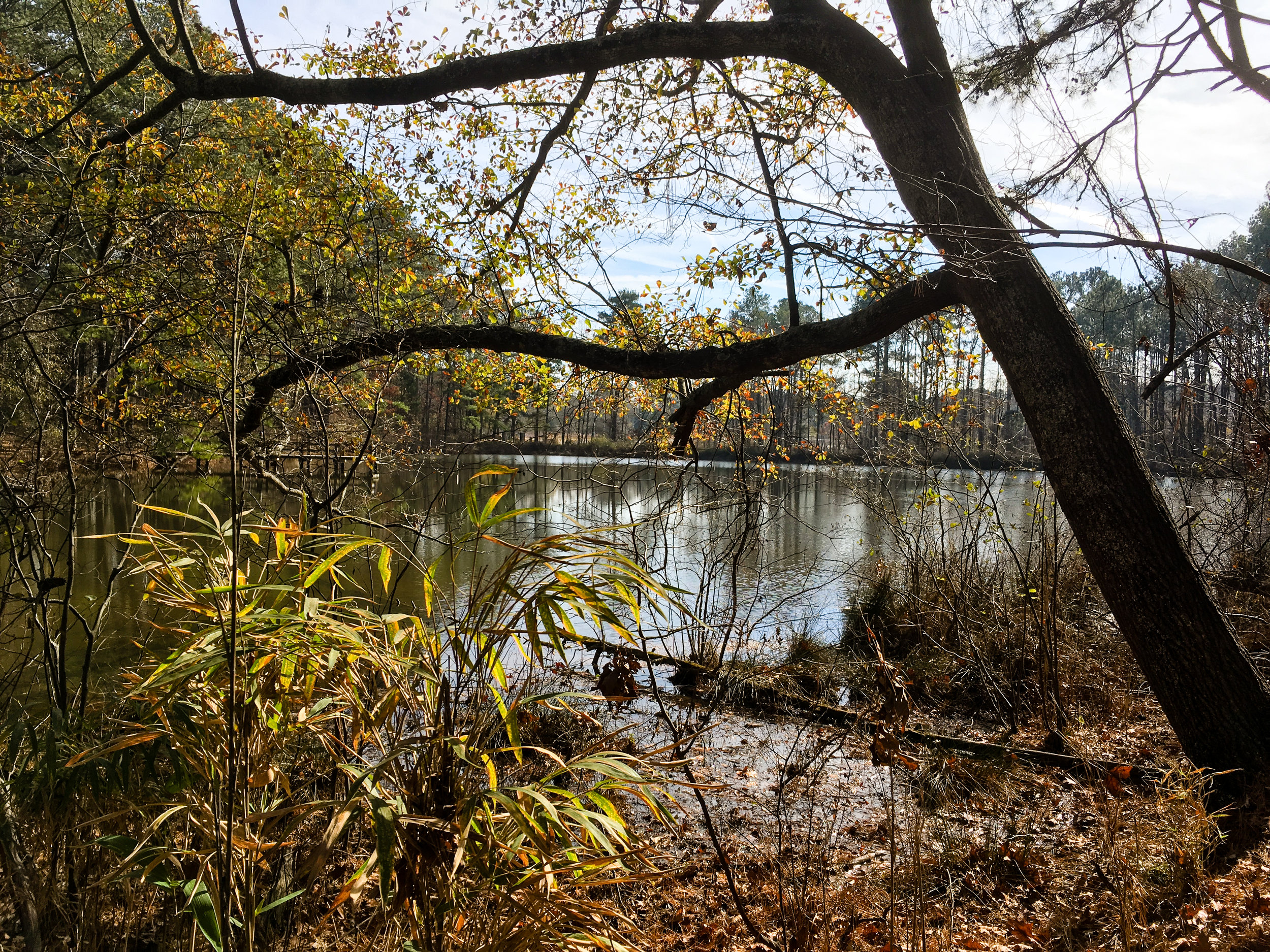
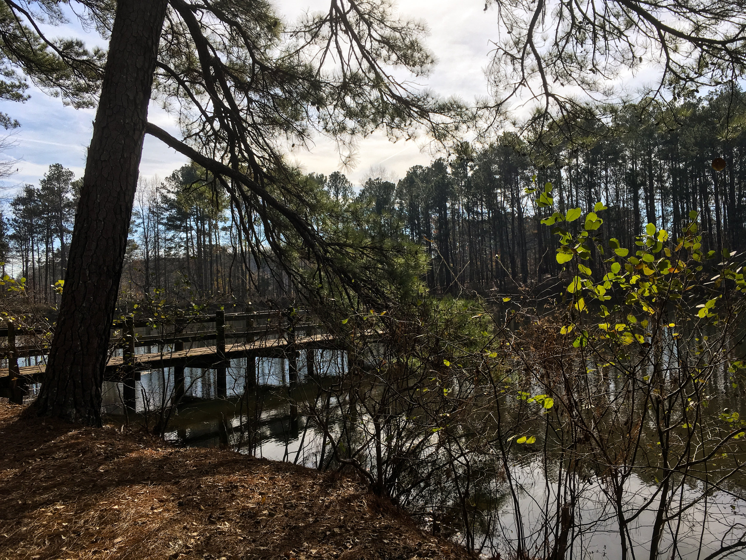
Reynolds Nature Preserve
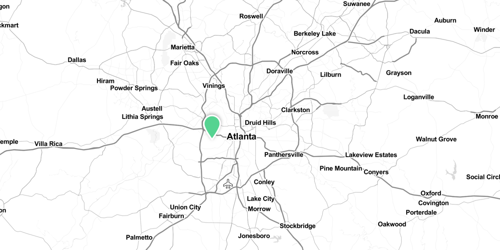
Address: 5665 Reynolds Road, Morrow, Ga 30260
Cost of admission: None
Governance: Clayton County Parks and Recreation
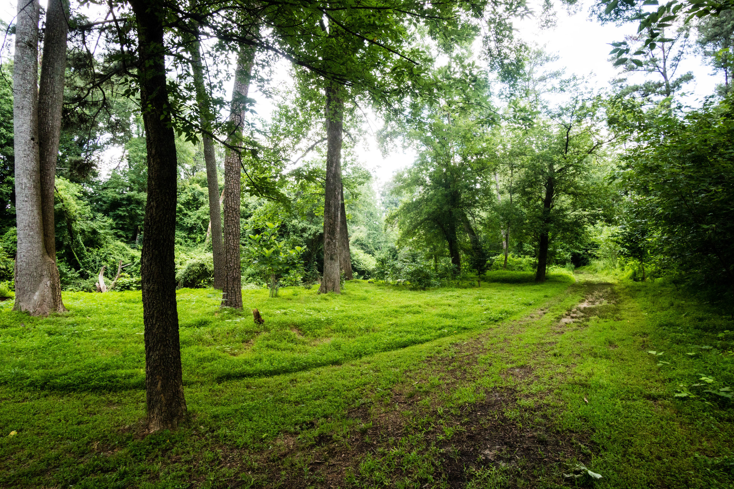
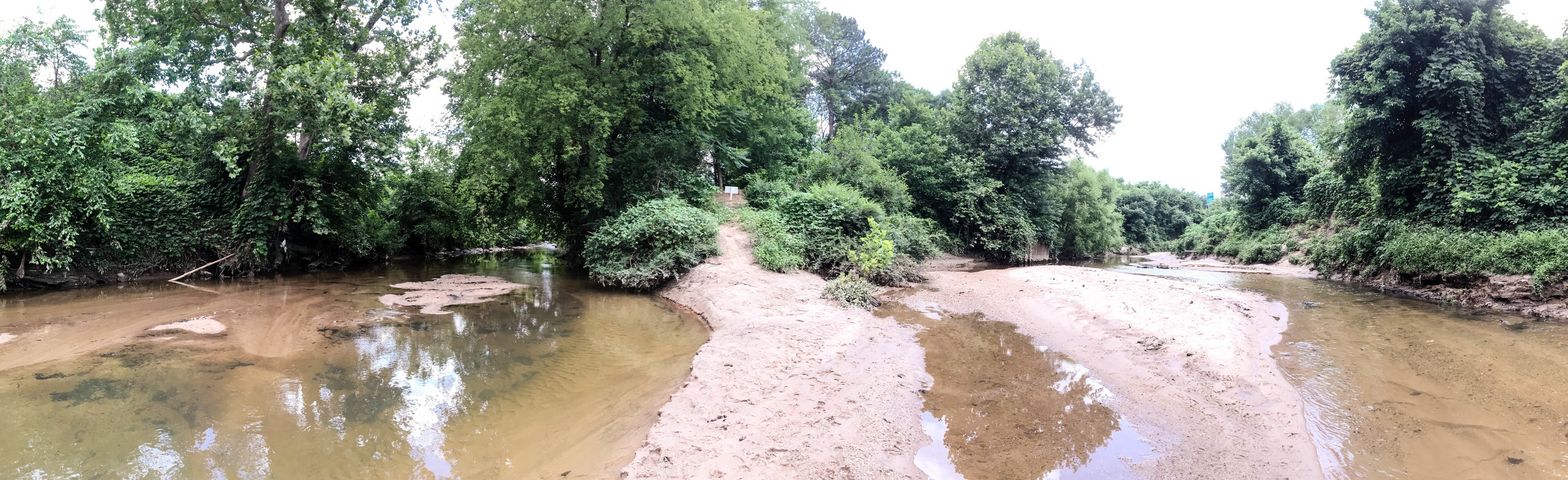
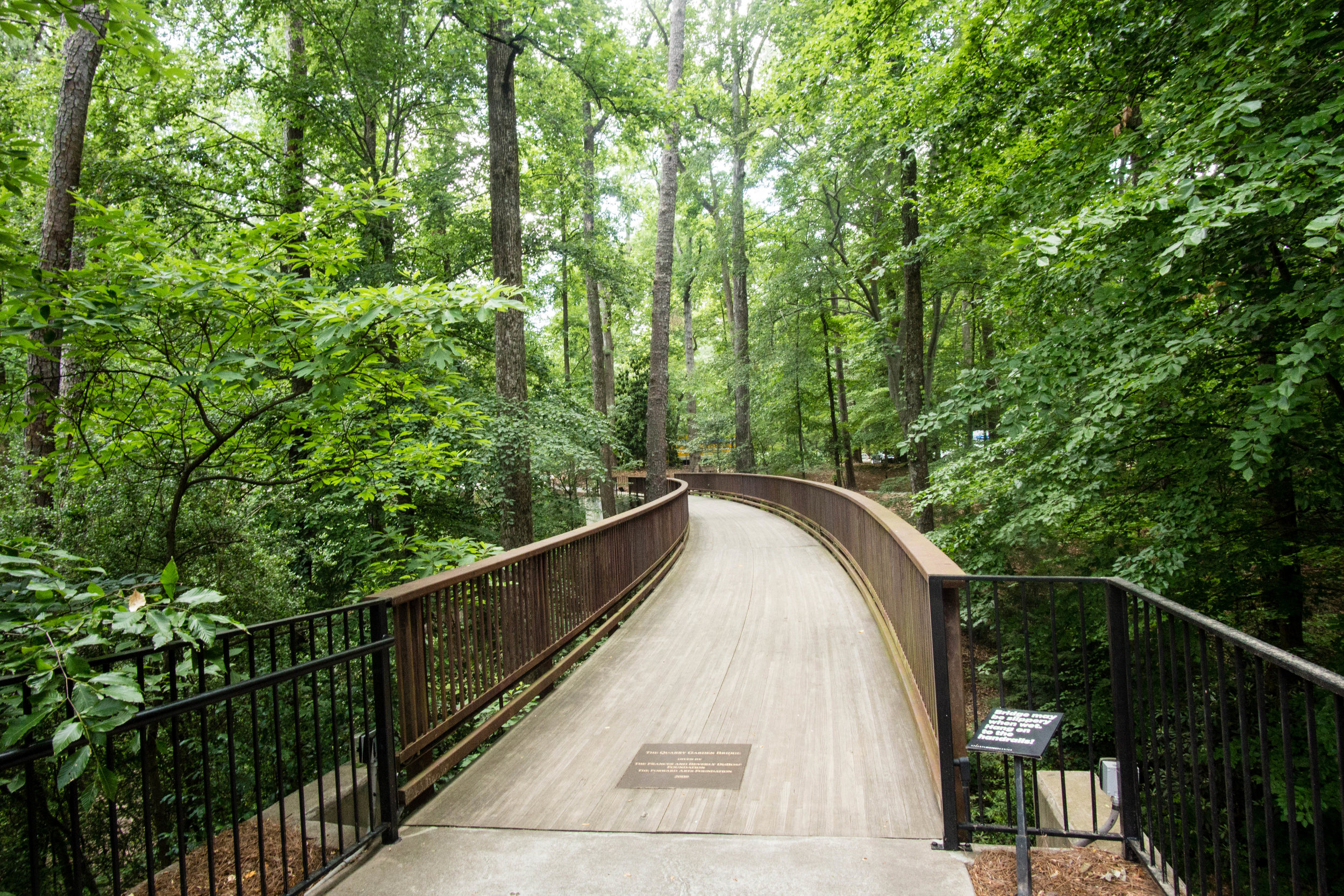
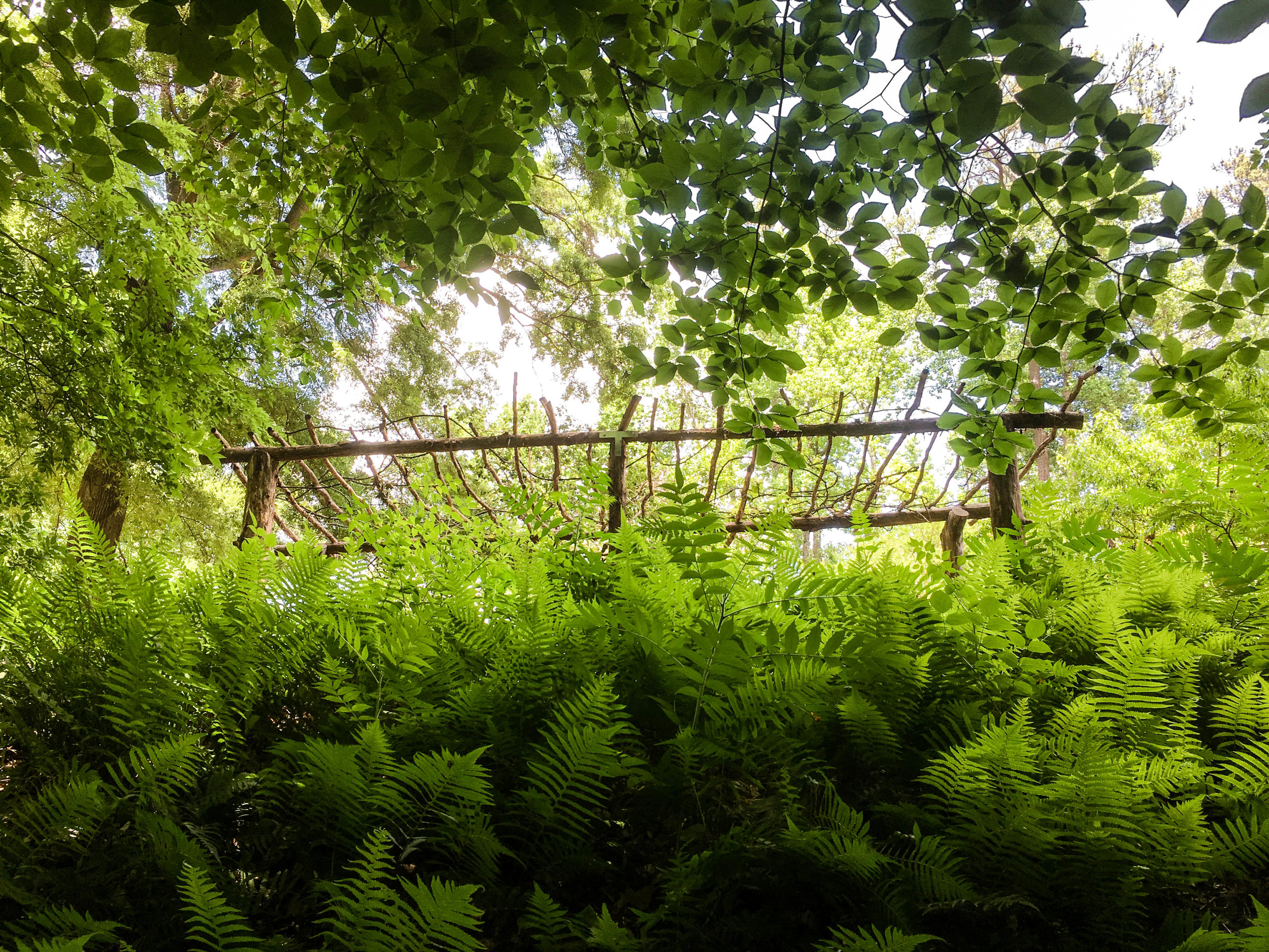
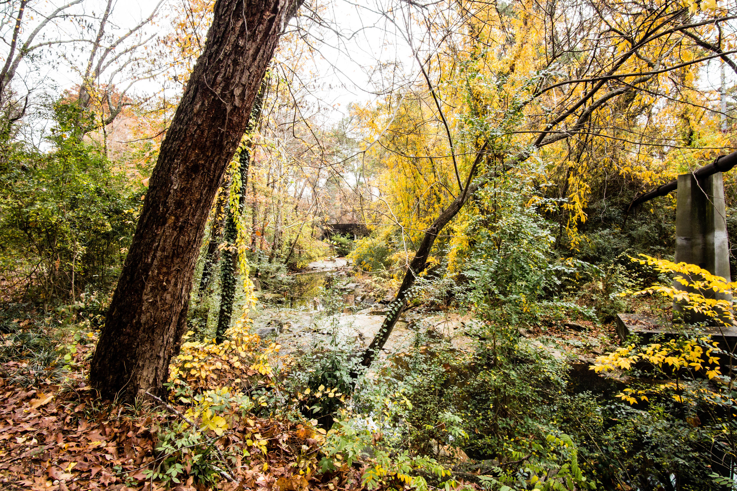
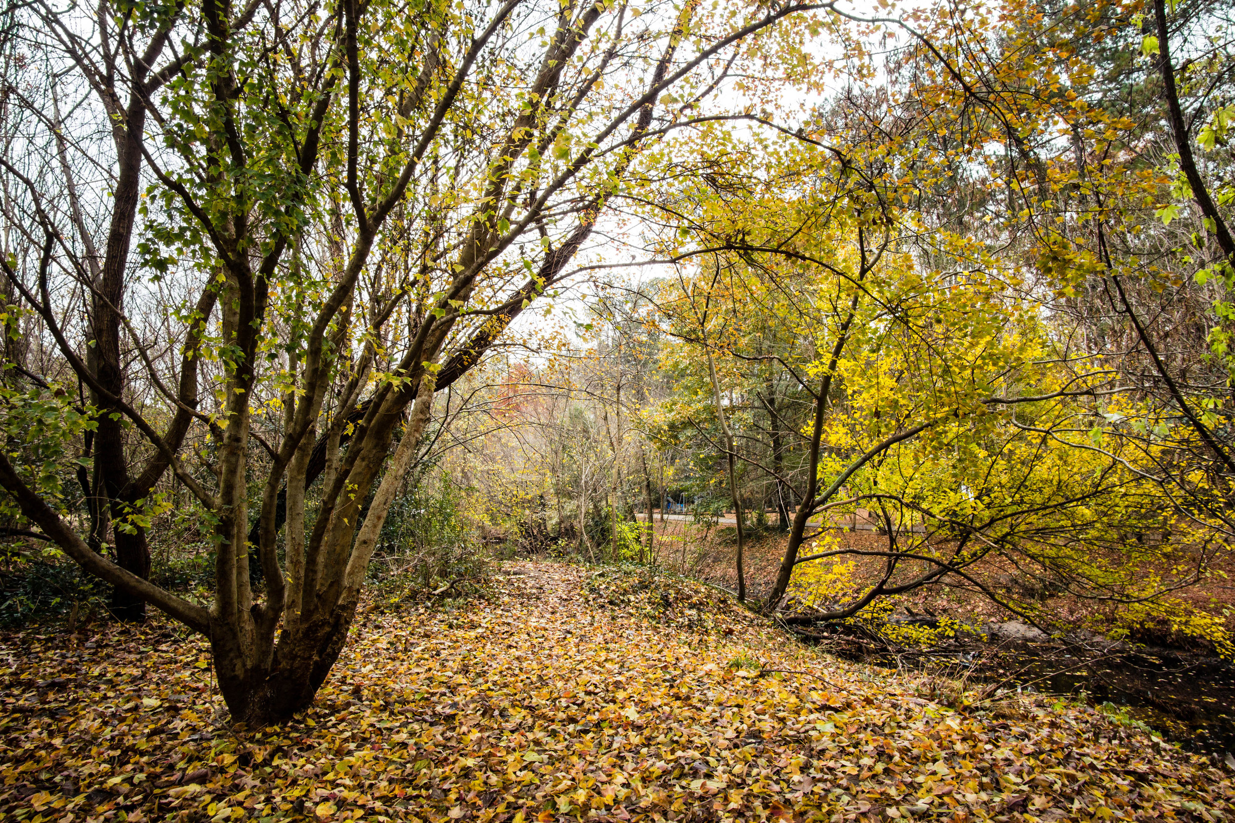
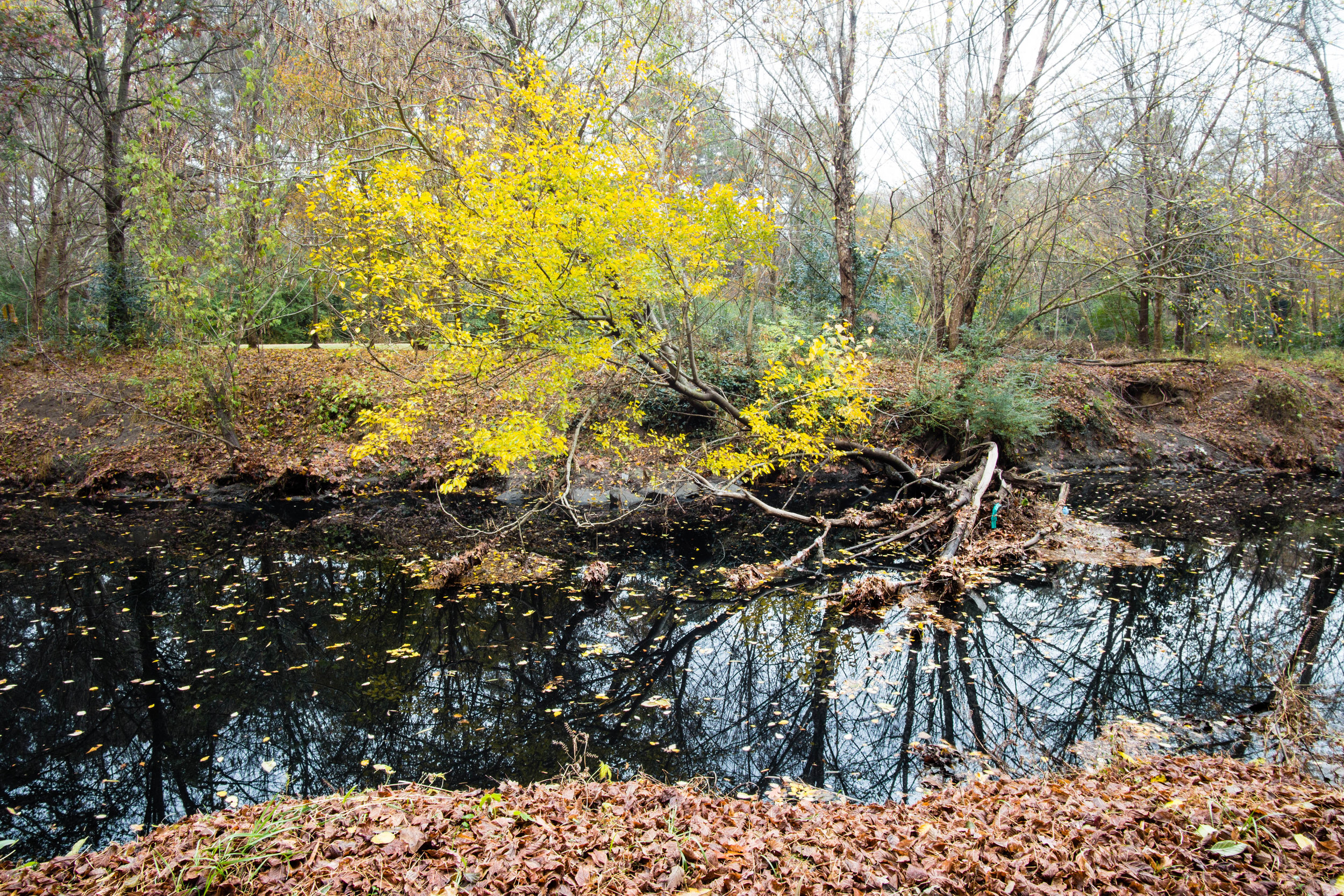
Acres: 146
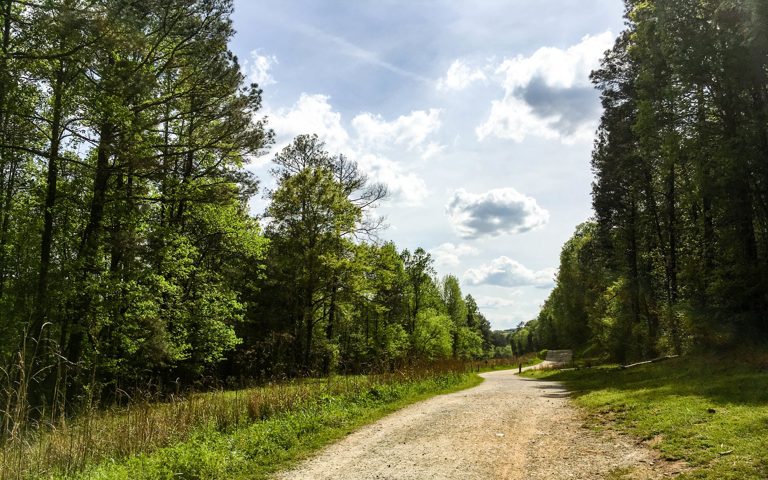
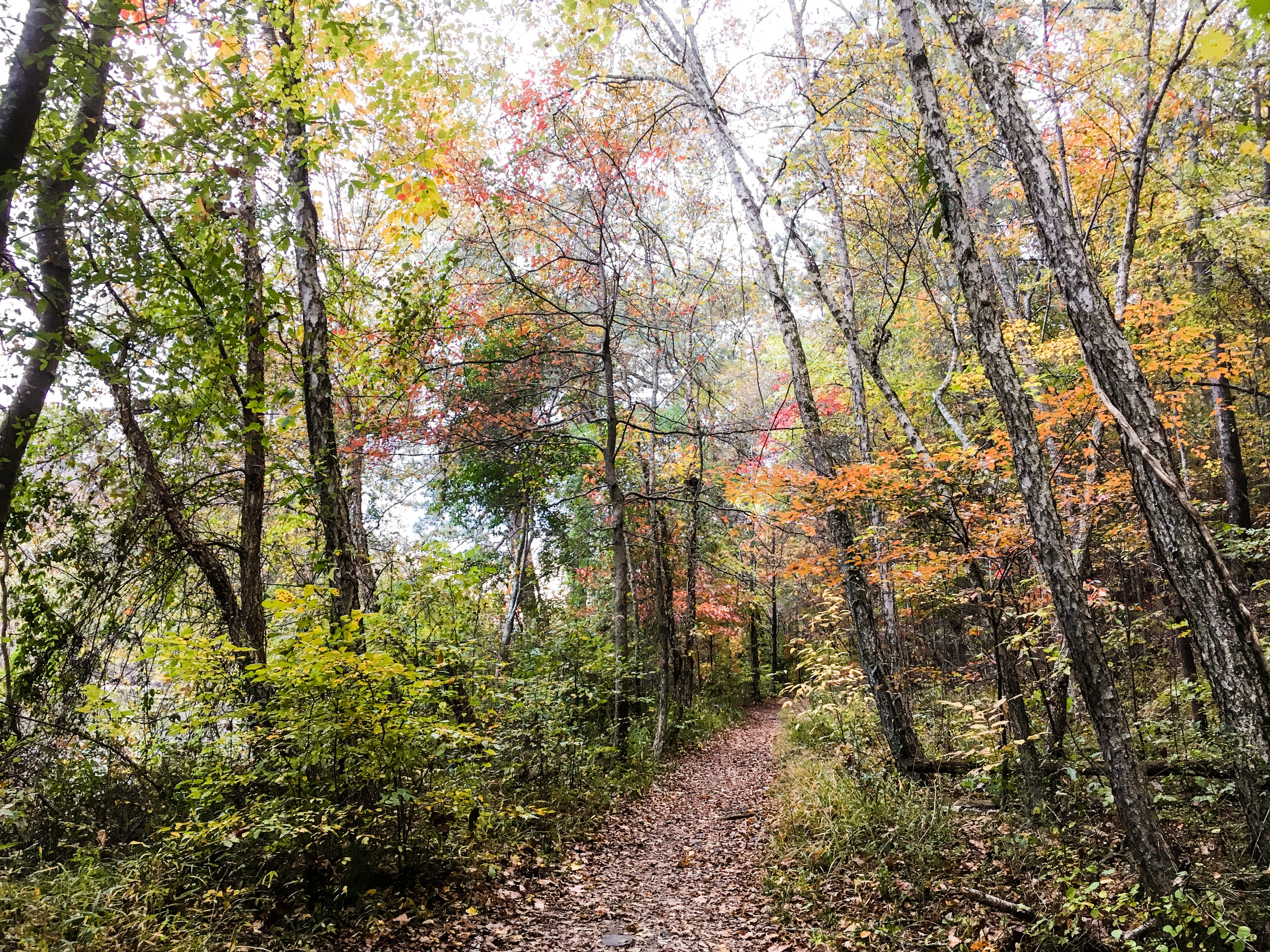
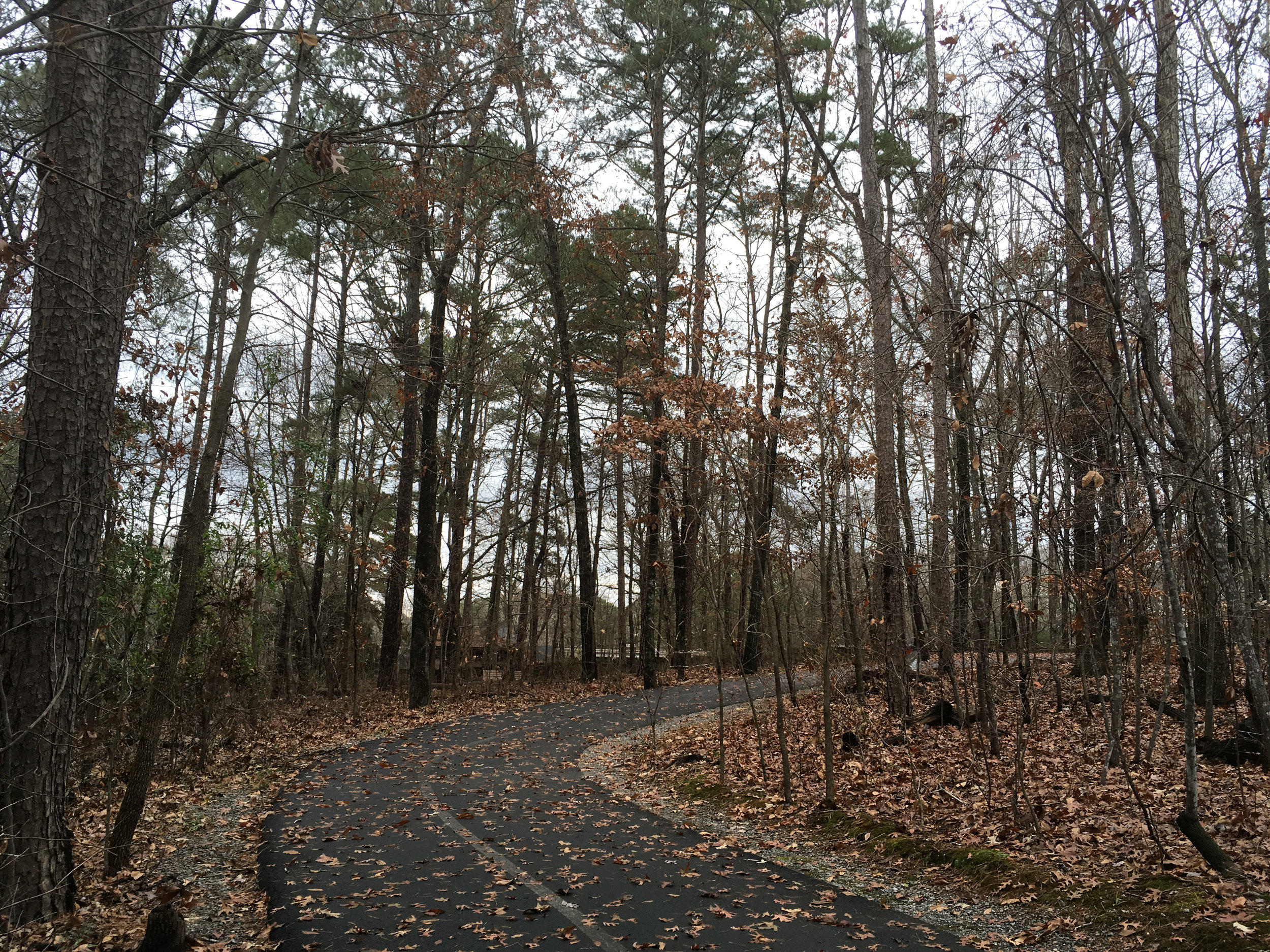
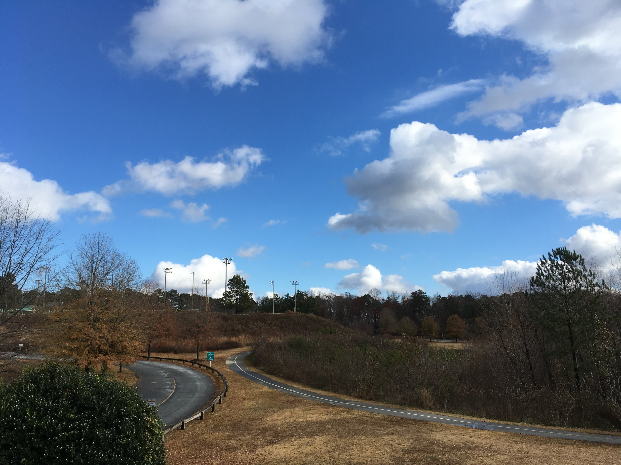
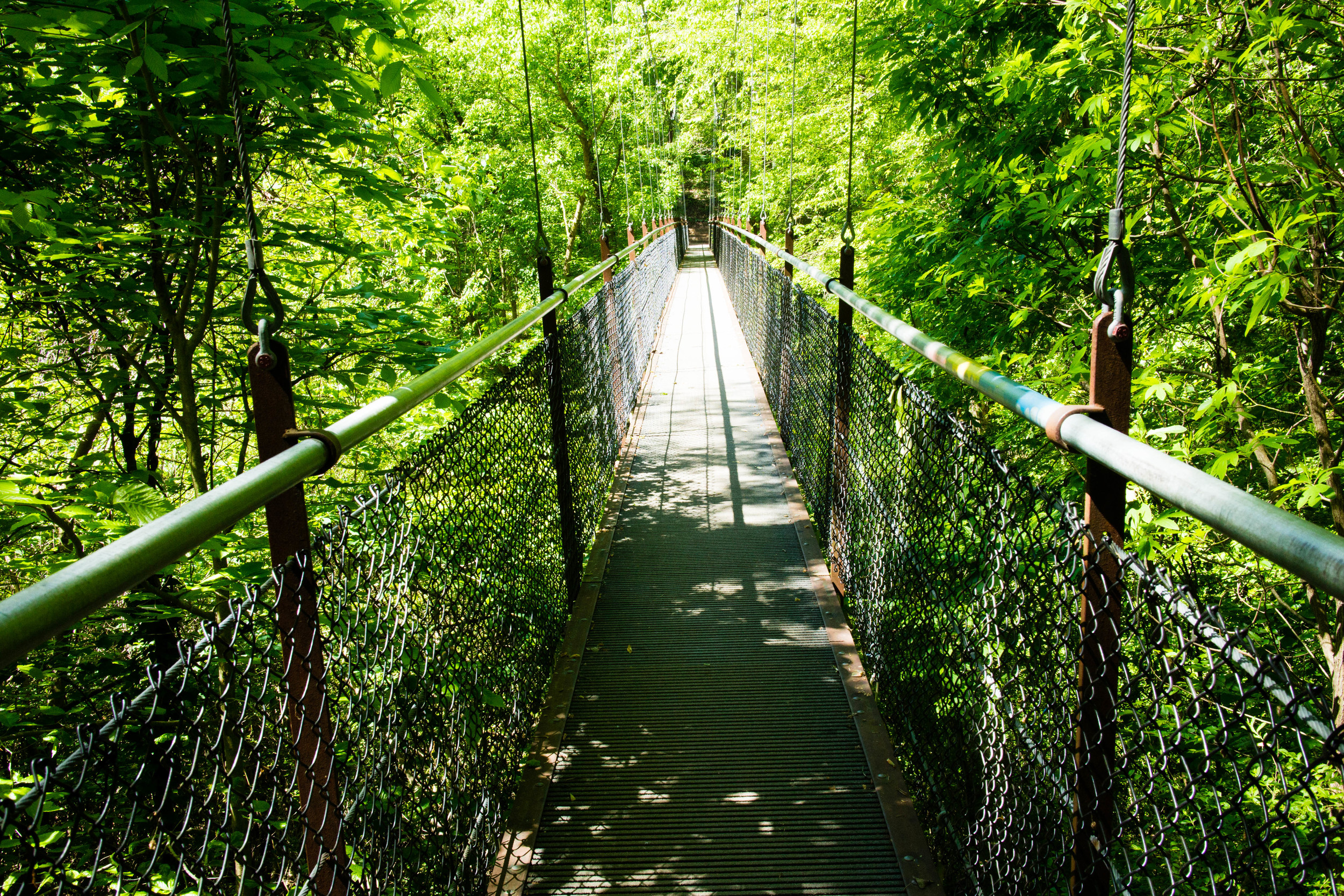
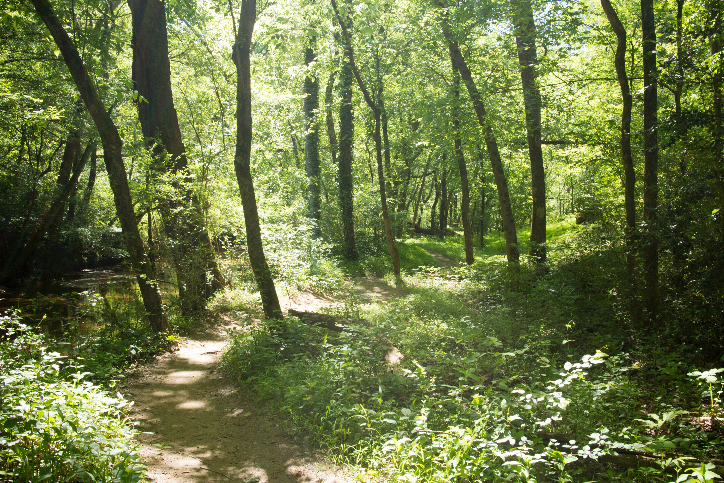
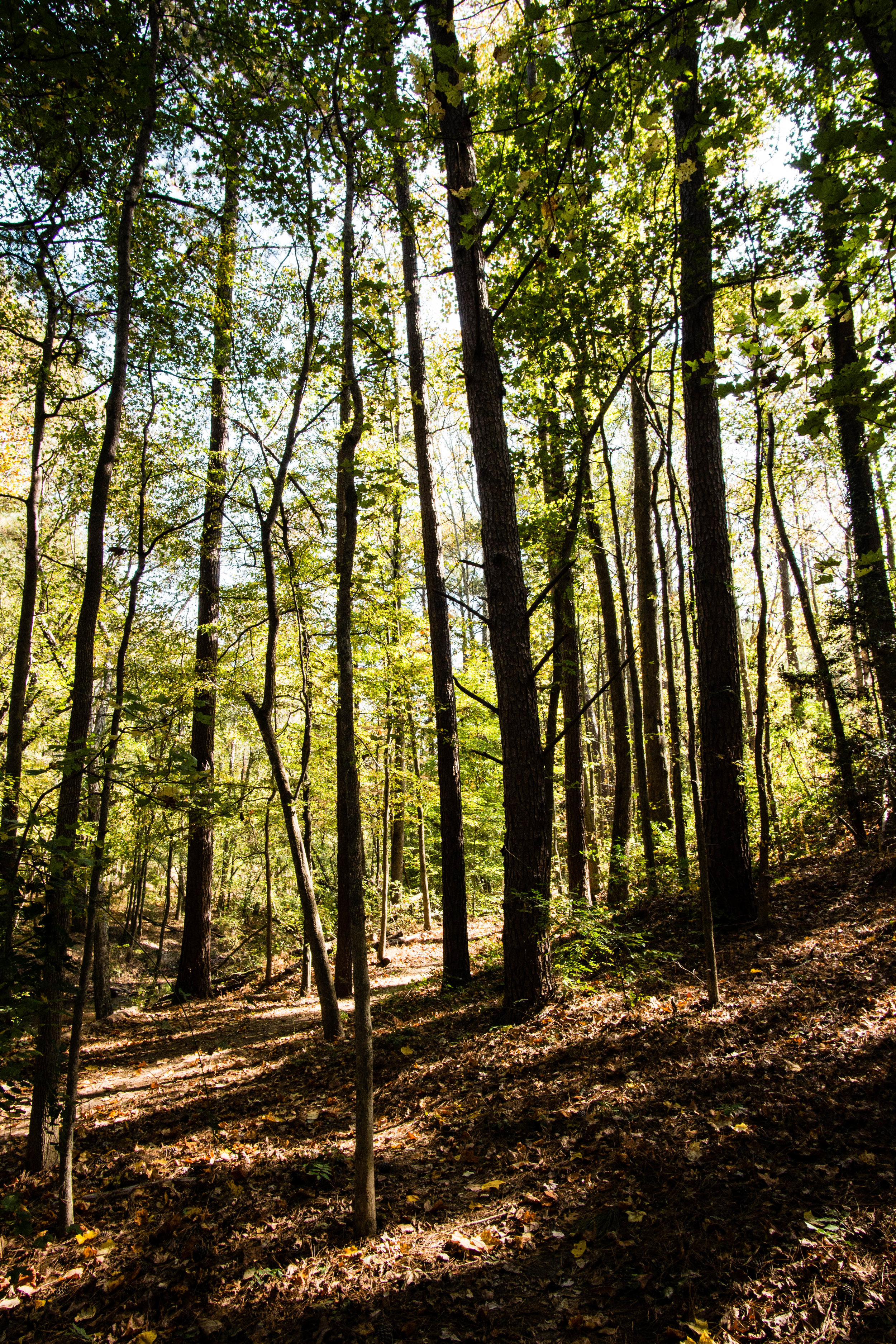
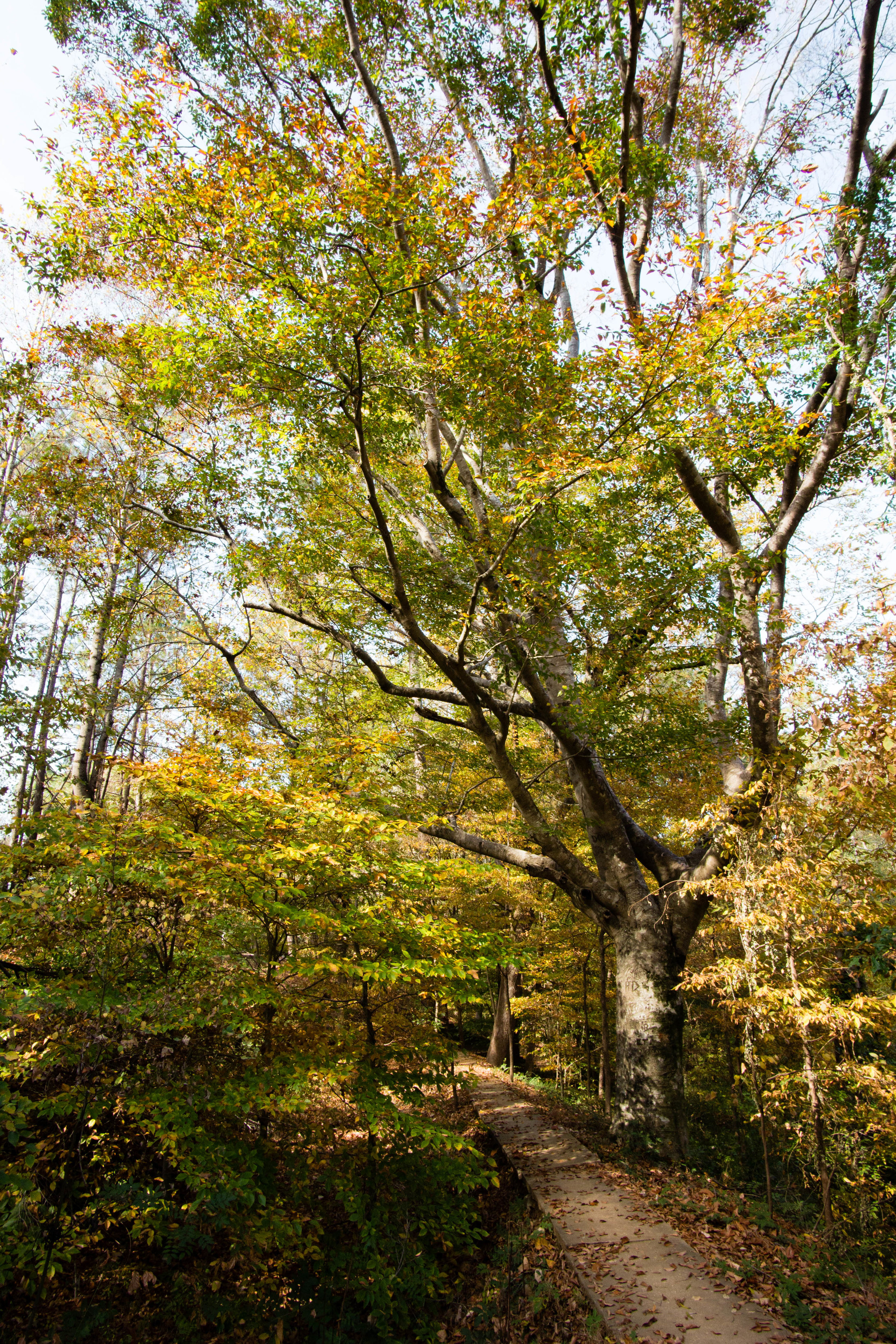
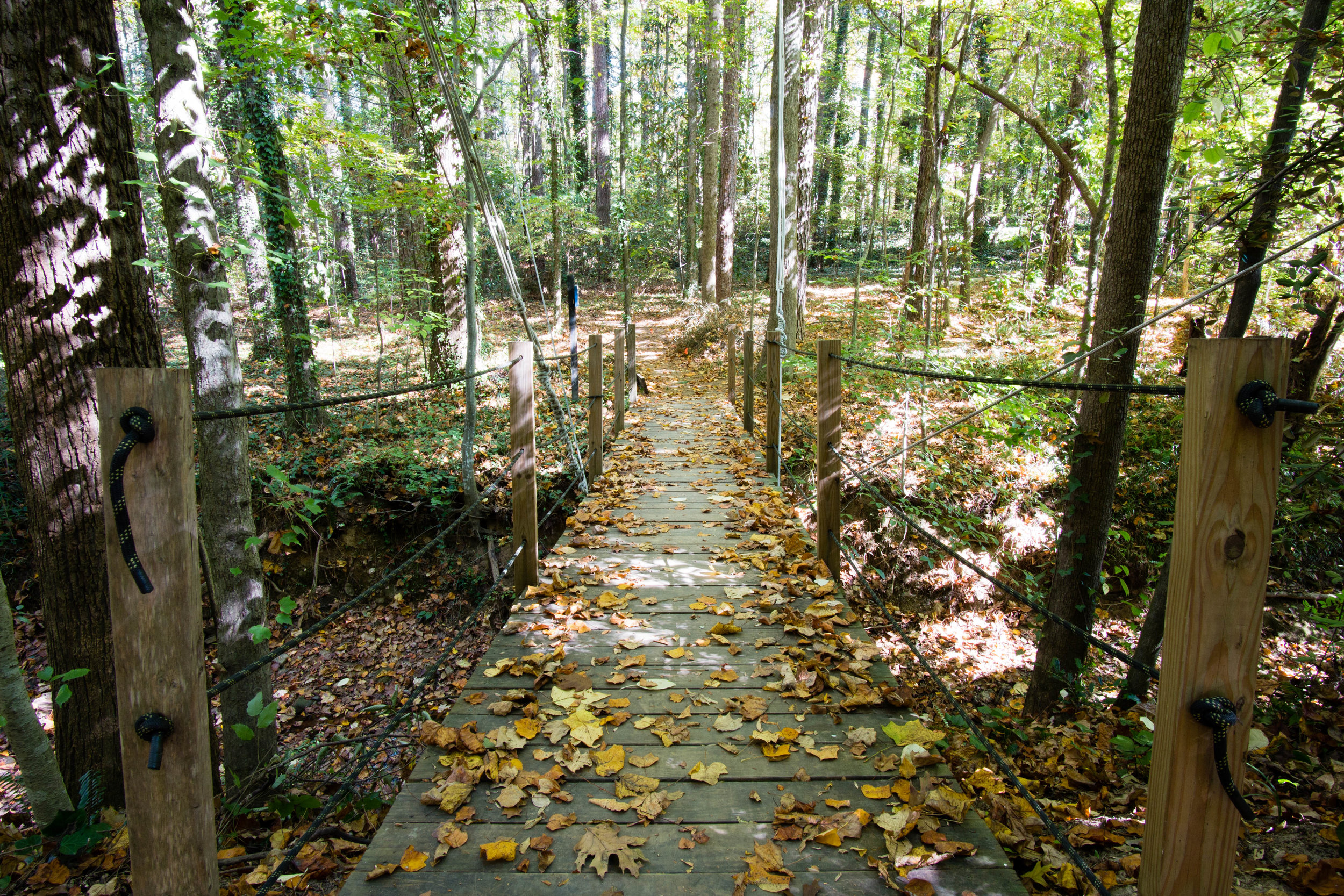
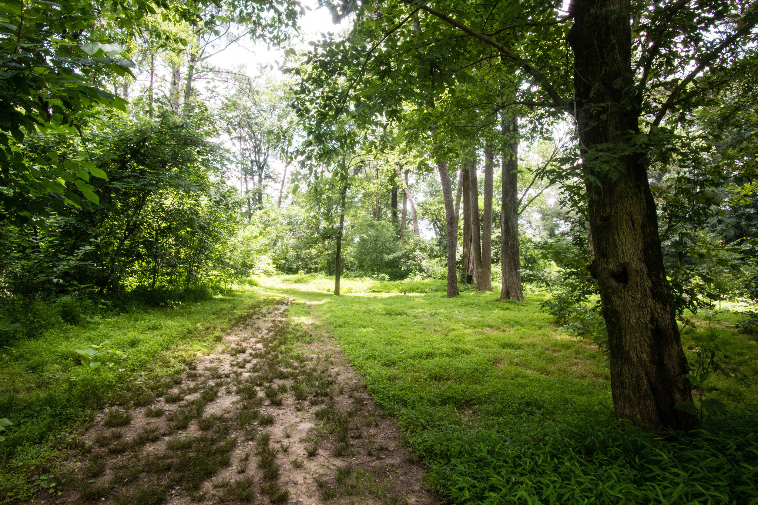
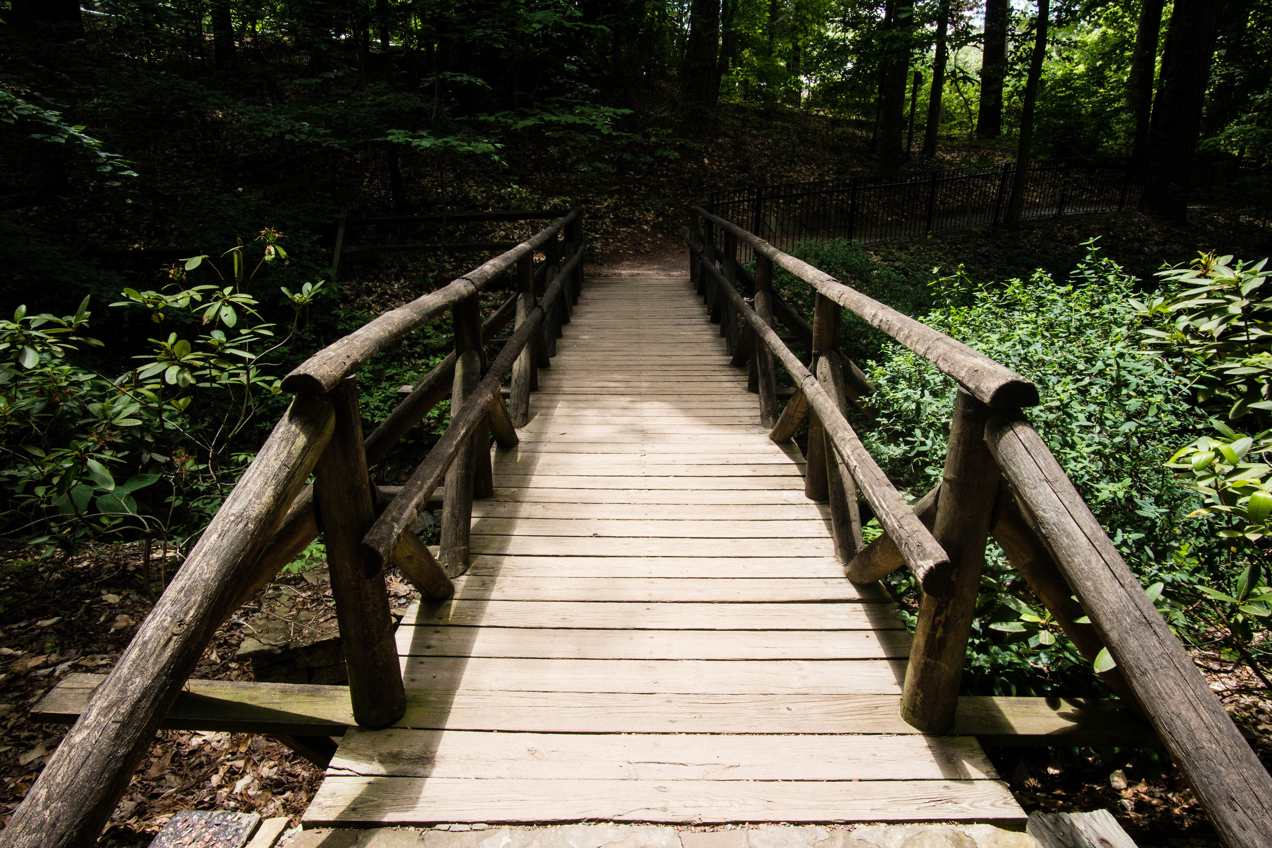
Approximate miles of trails: 3
Hours: 8:00am to dusk daily (Interpretive Center is open 8:00am to 5:00pm, Monday to Friday)
Miles from downtown Atlanta: 12
MARTA directions: Take the 193 from East Point station to Jonesboro Rd @ Westwood Way. From there, walk west on Westwood Way. The road deadends into the Morrow Pathway. Take the path to its end at Reynolds Road. One entrance to the preserve is directly across Reynolds Road from where the path intersects it.
Parking: There are multiple preserve parking areas along Reynolds Road. There are bike racks located at the interpretive center and at the third trailhead listed below.
Trailhead(s): There are multiple trailheads:
The main entrance is at the interpretive center, at 33.6011169,-84.3470463.
A second parking lot is at 33.5974665,-84.3436243, and you can access the trail here.
A third trailhead is located at the south end of the park along Reynolds Road, at 33.5955272,-84.343485.
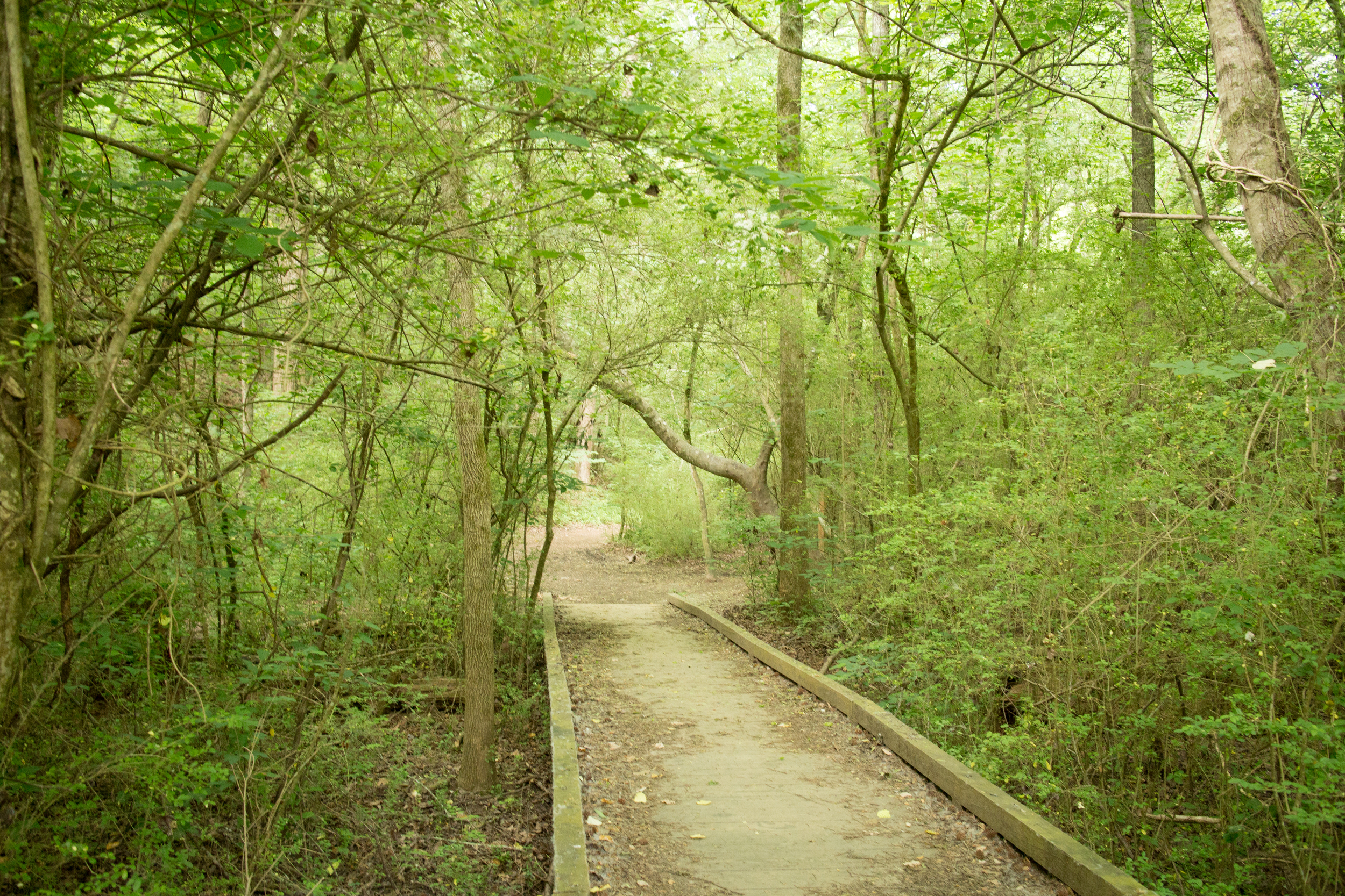
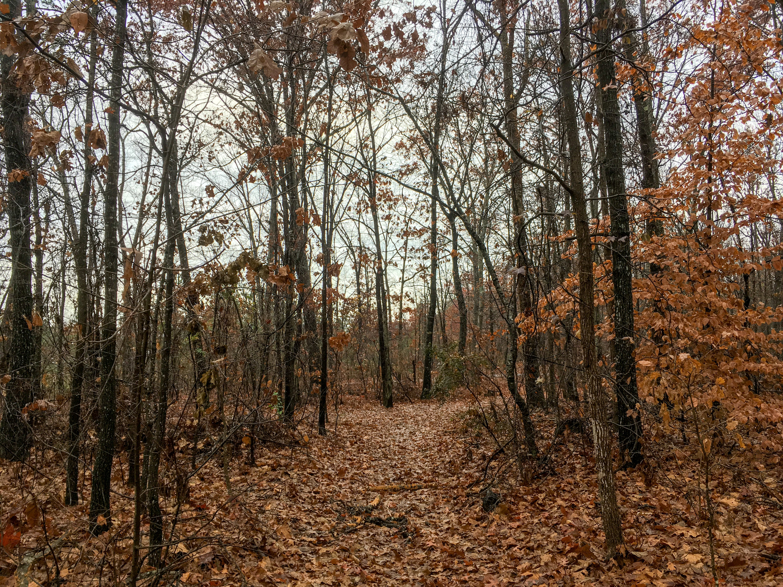
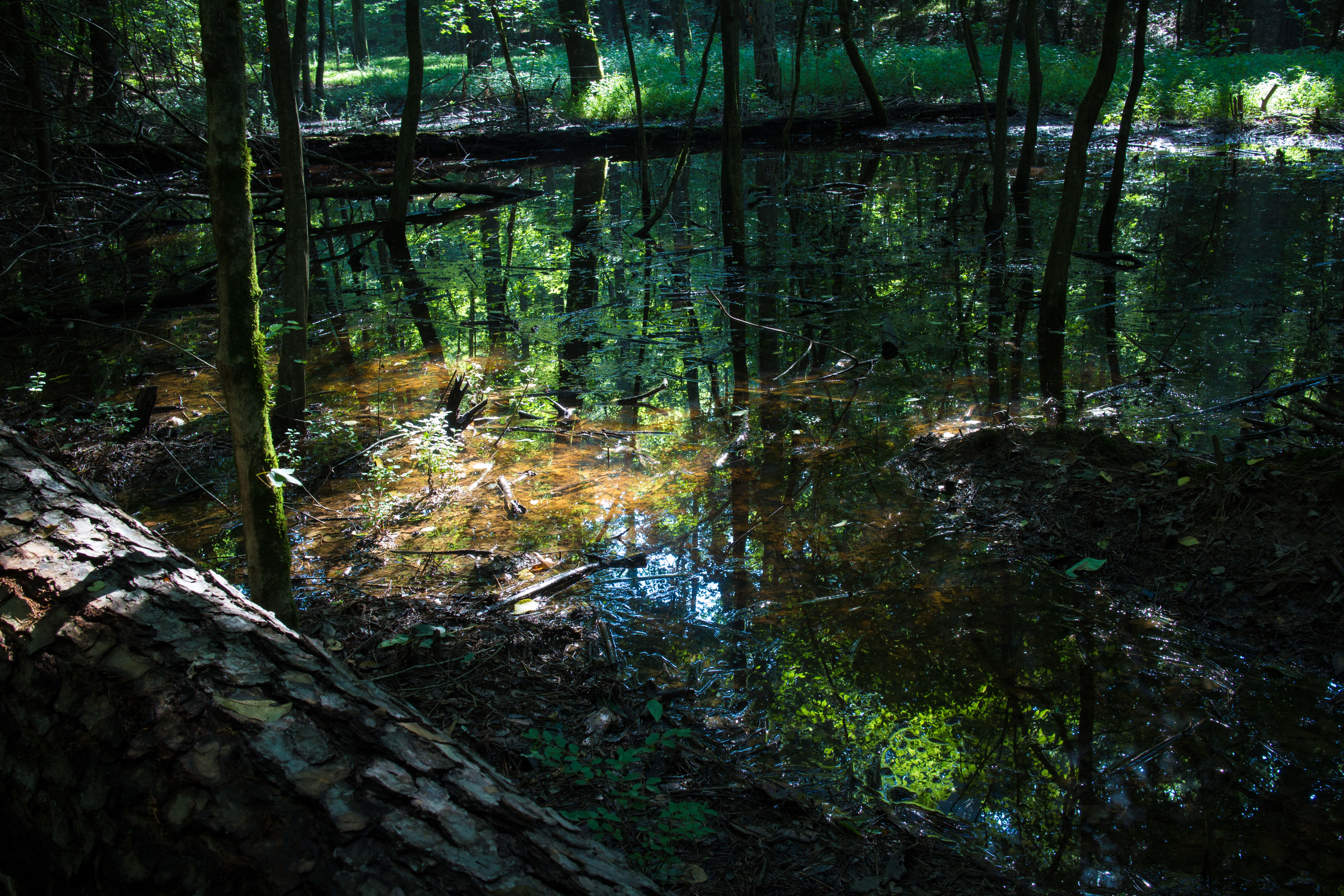
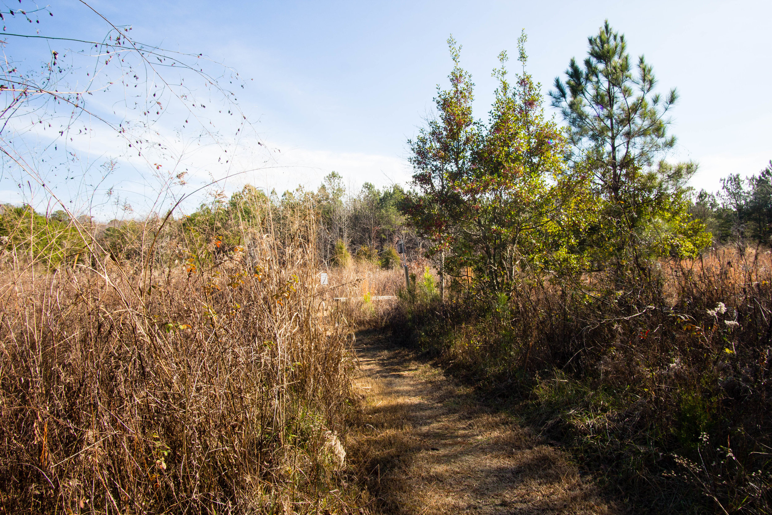
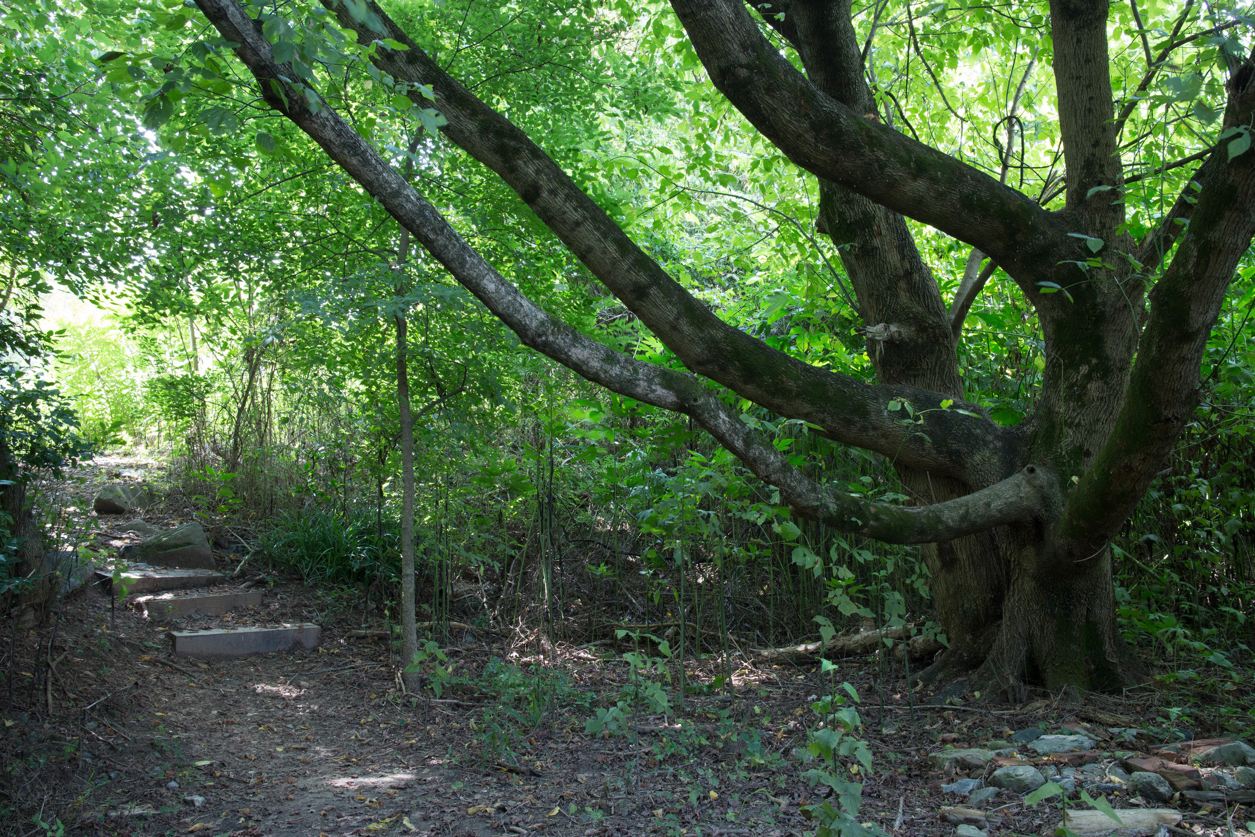
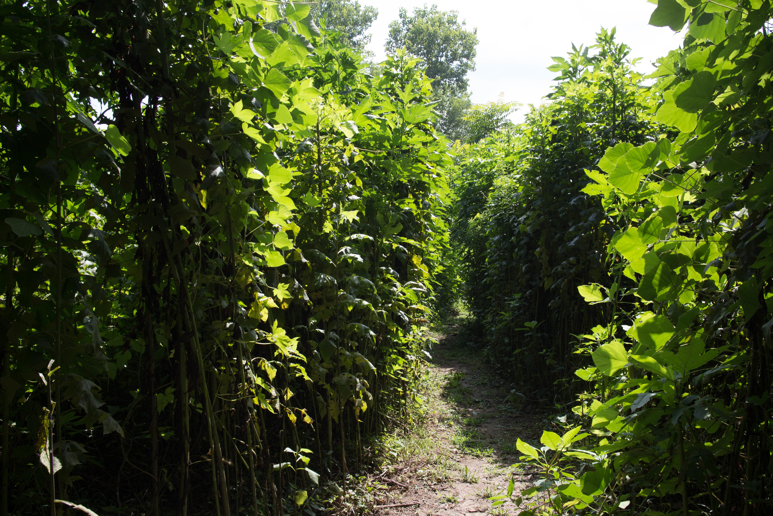
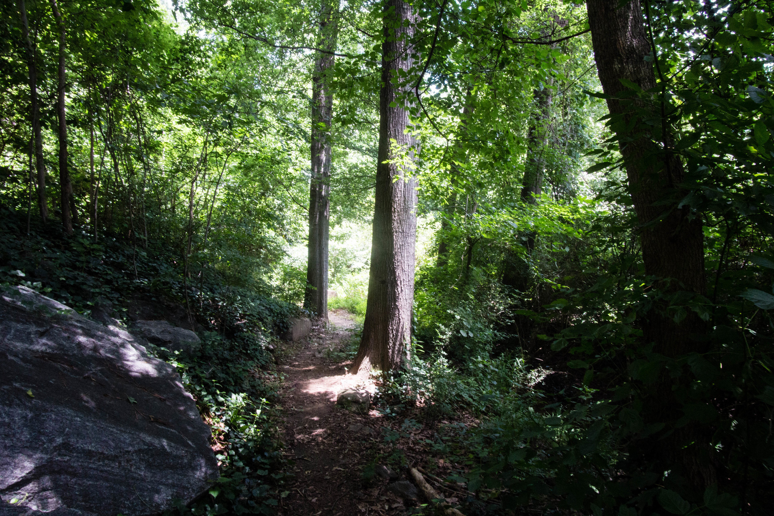
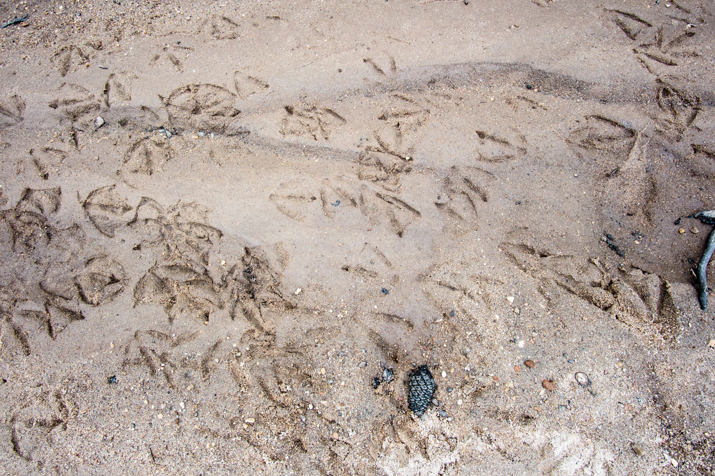
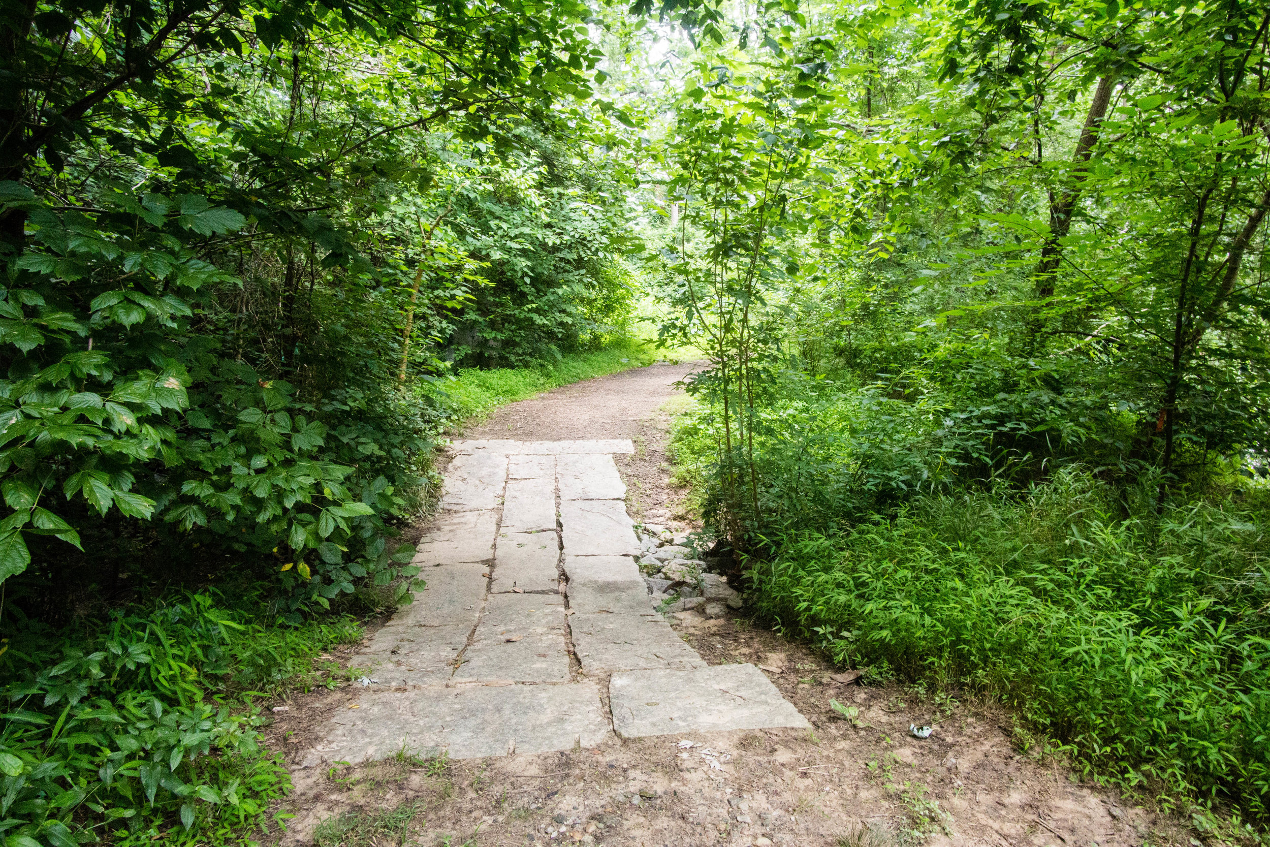
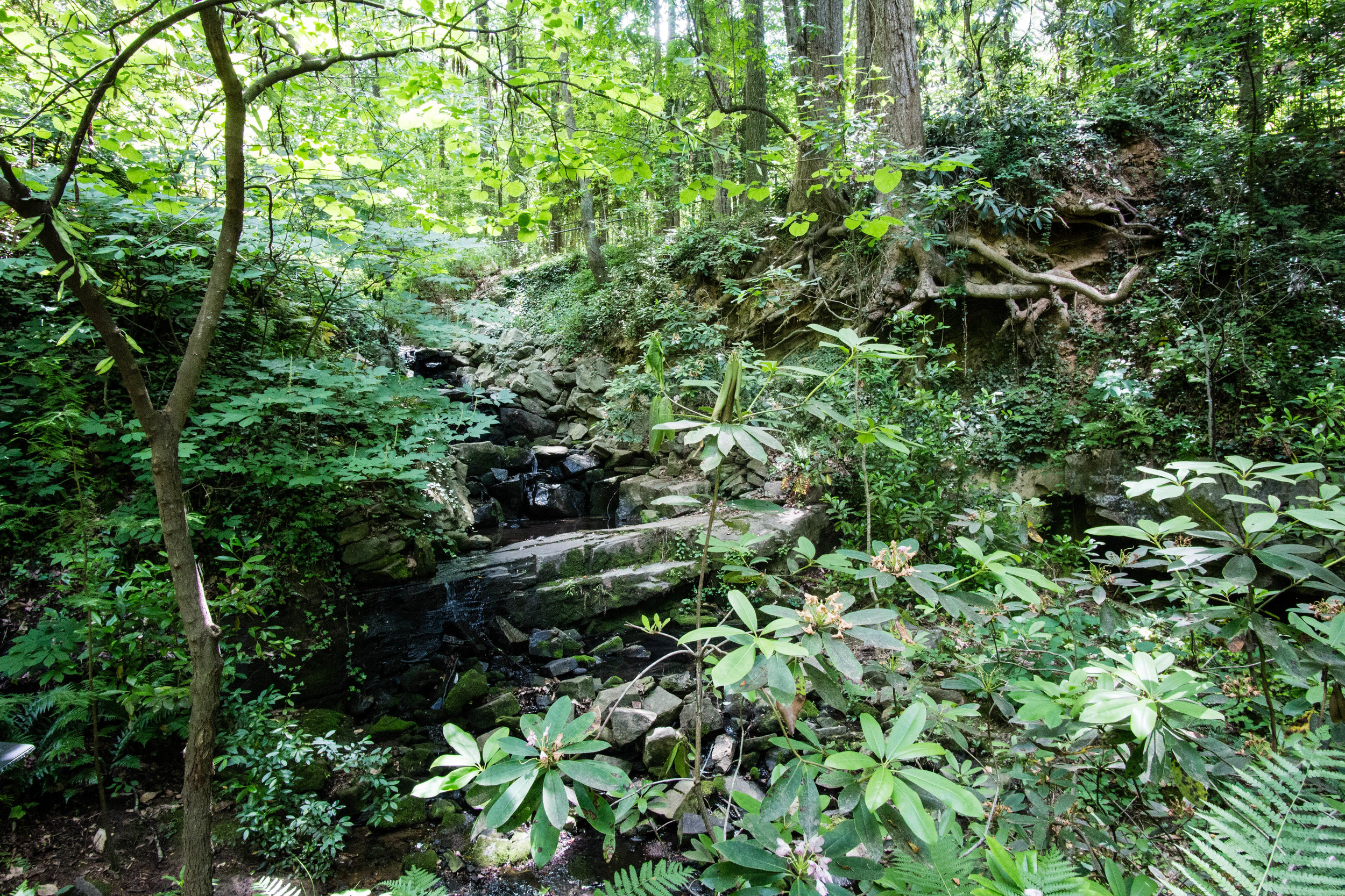
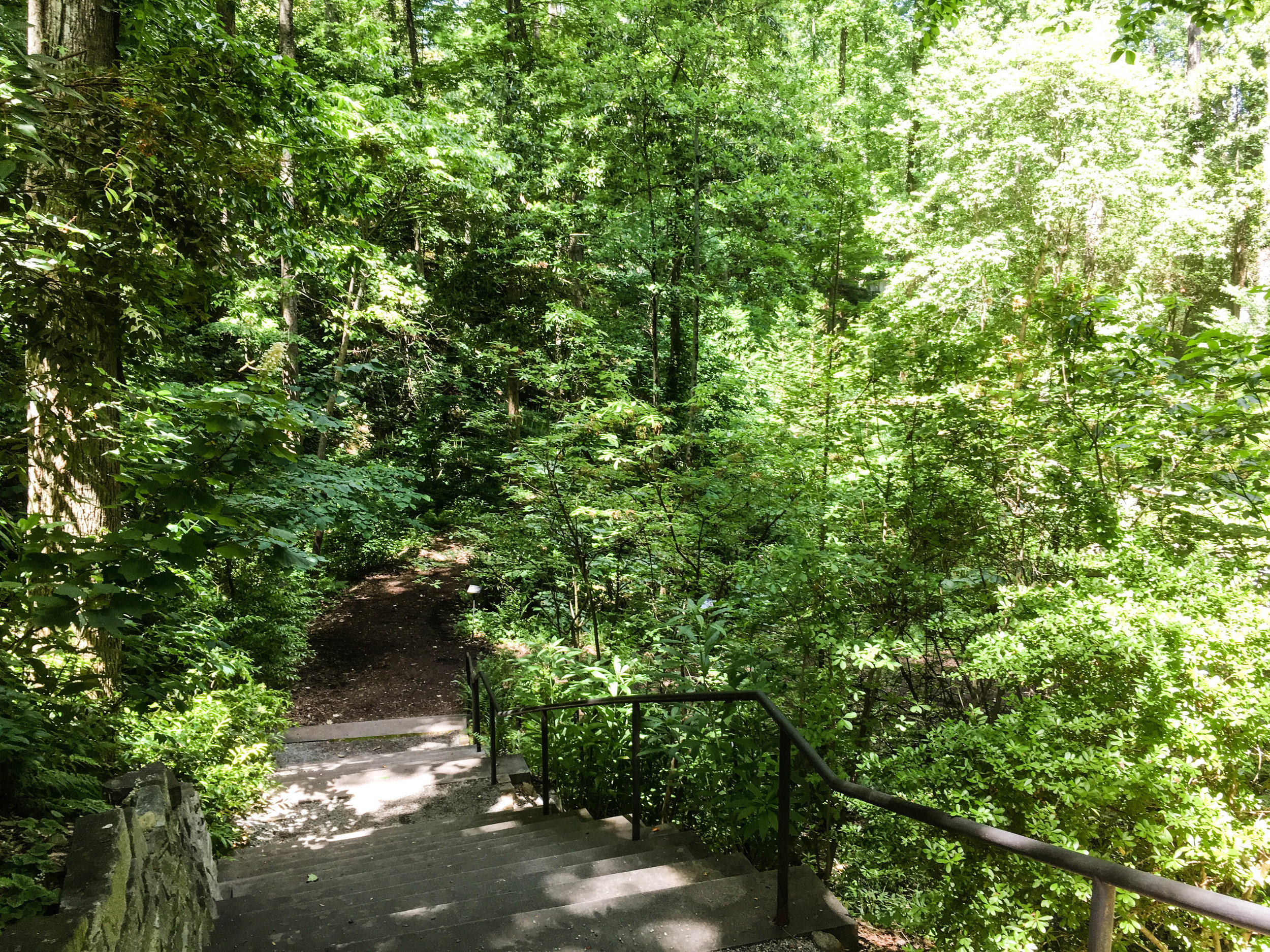
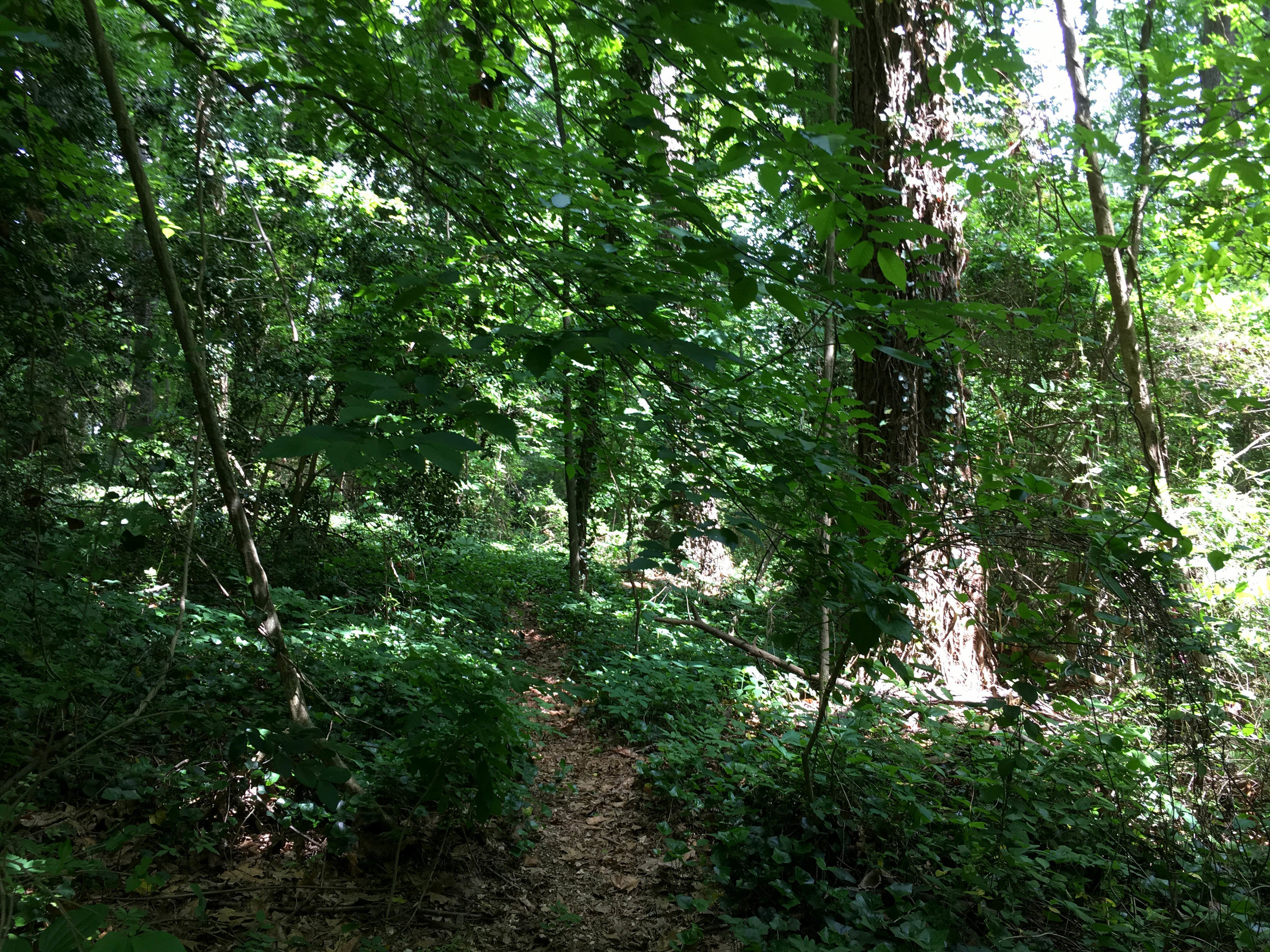
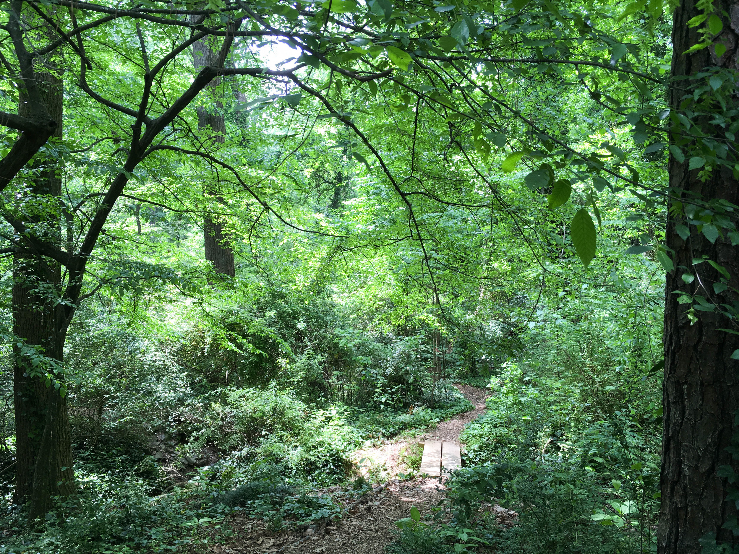
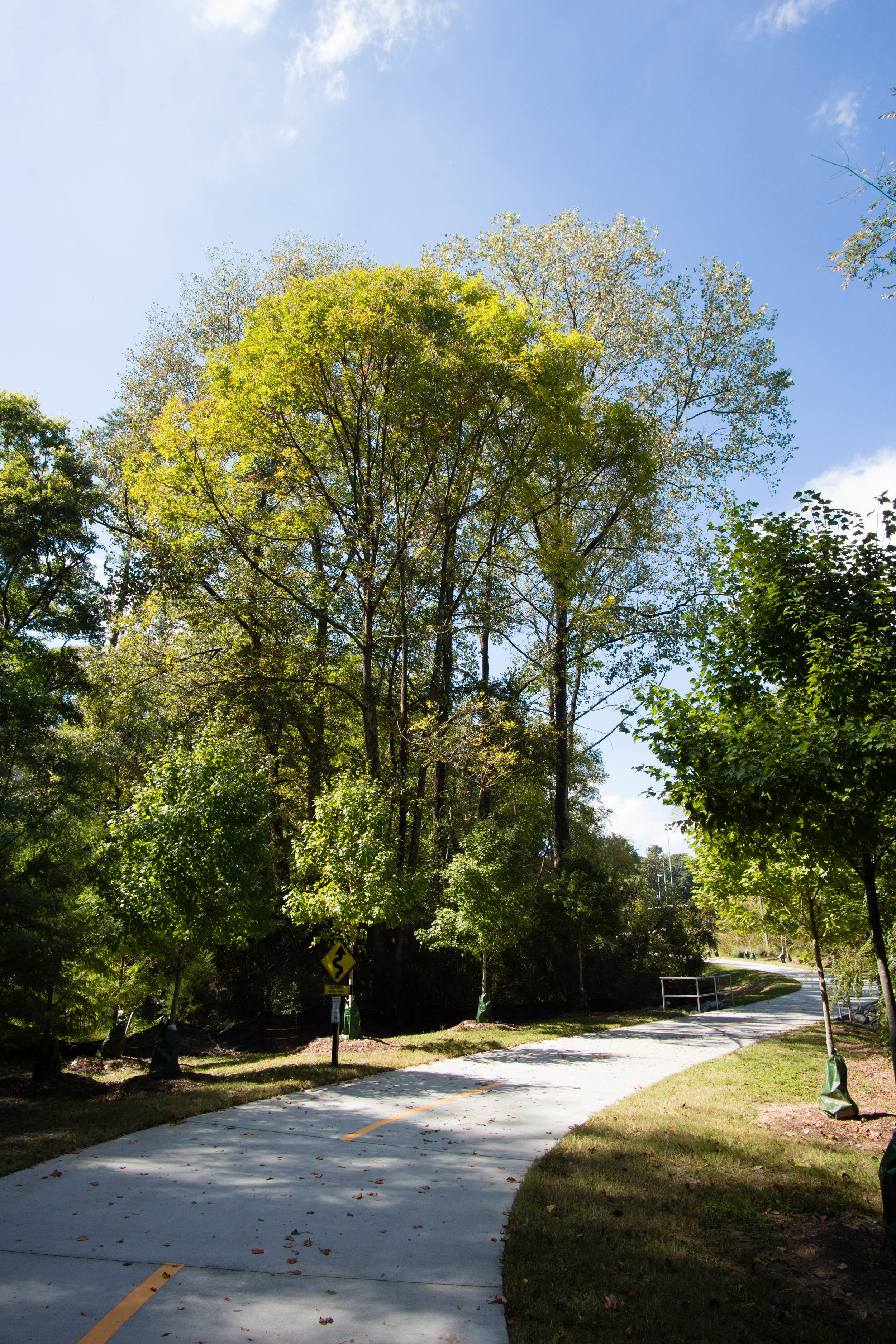
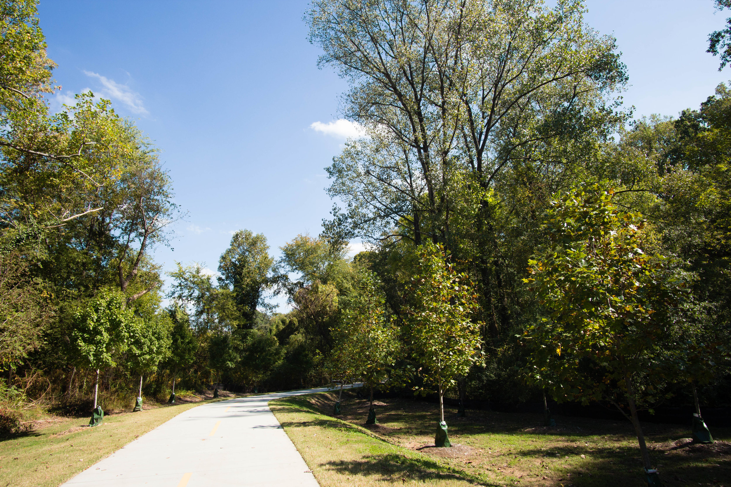
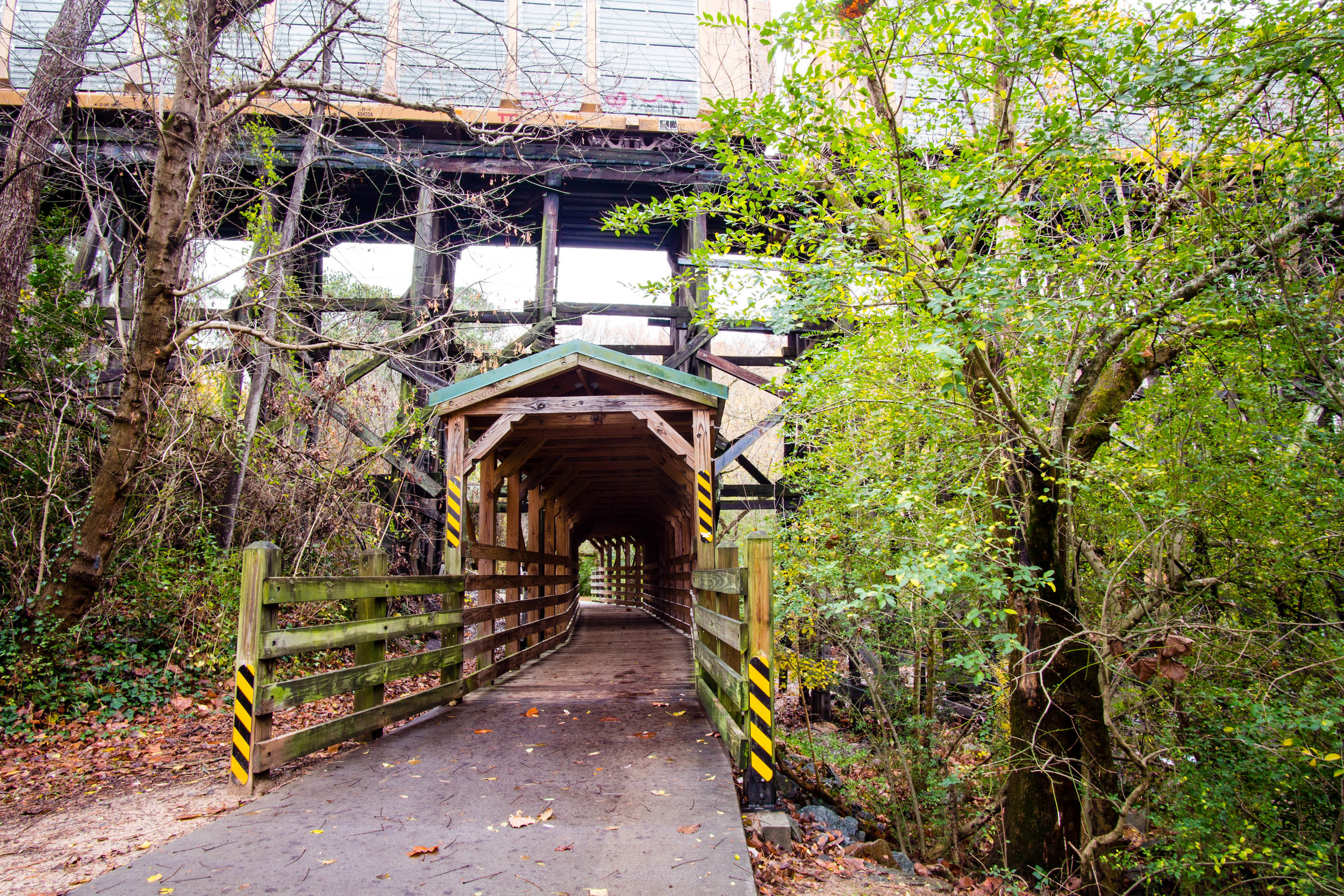
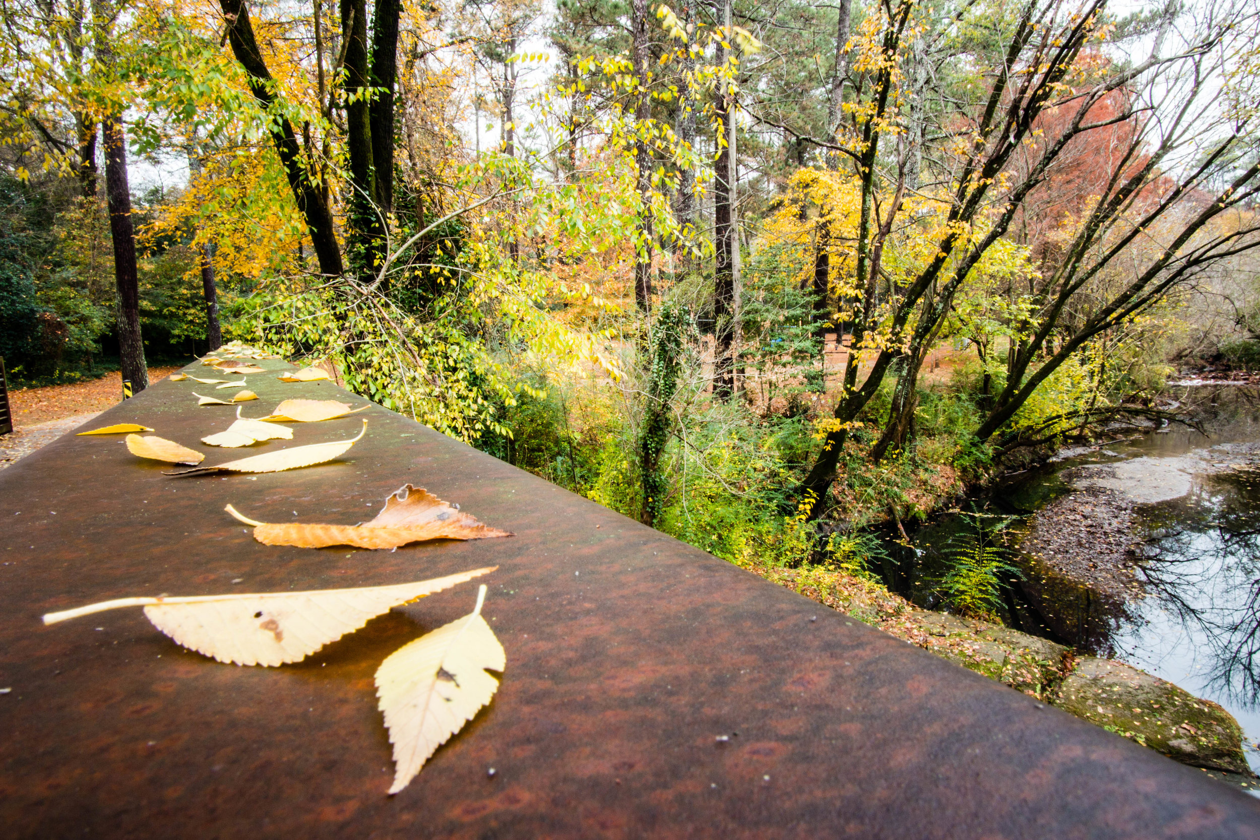
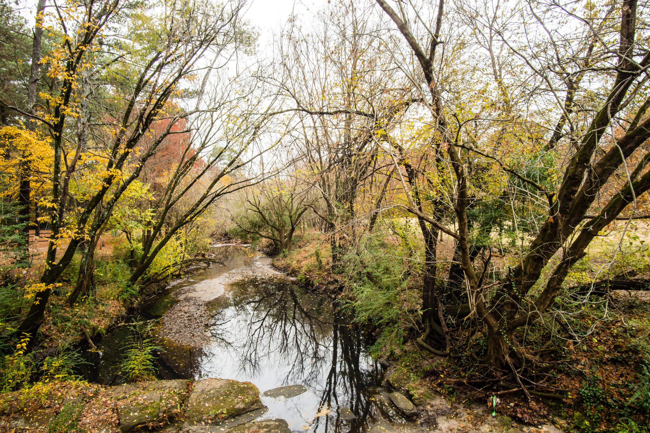
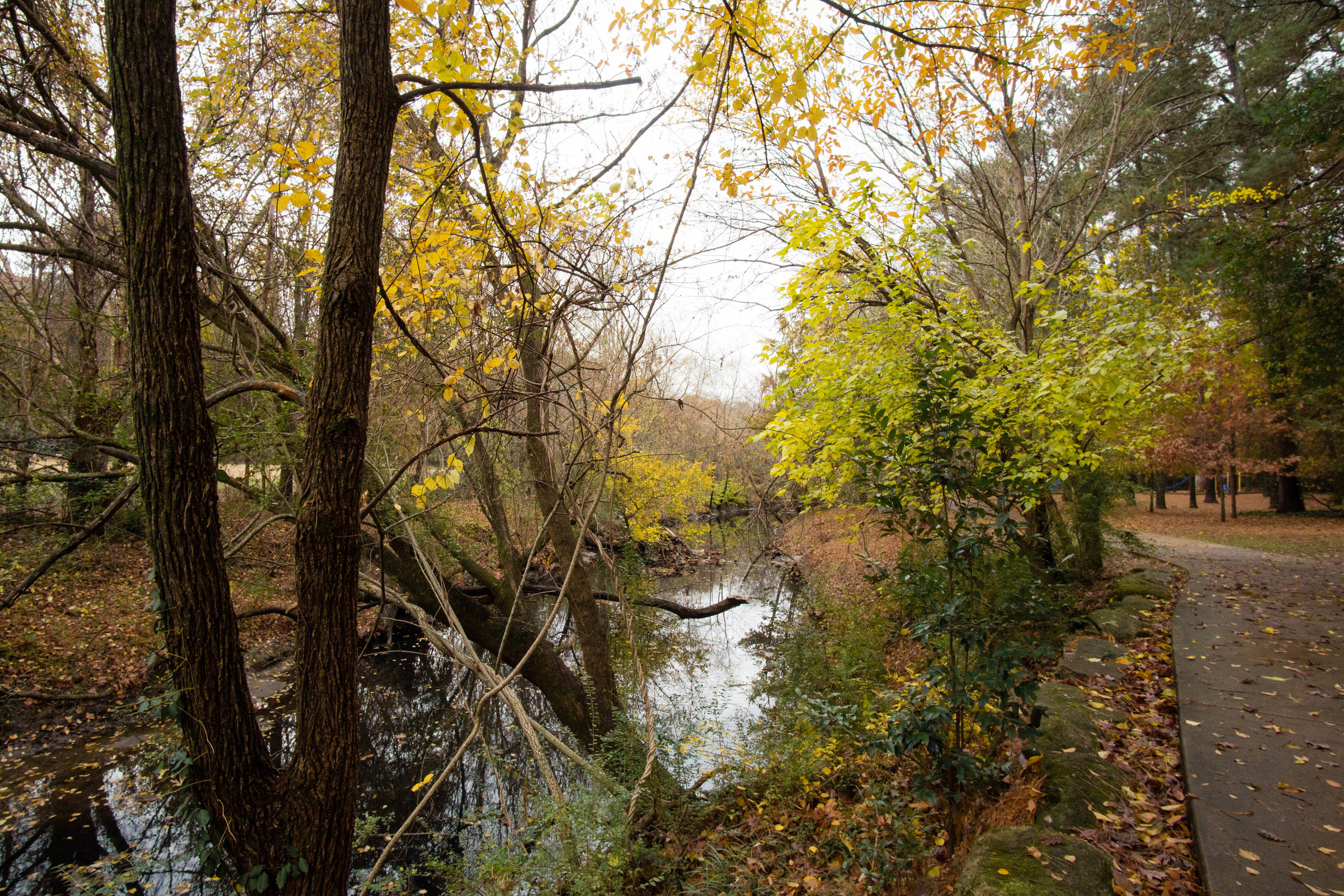
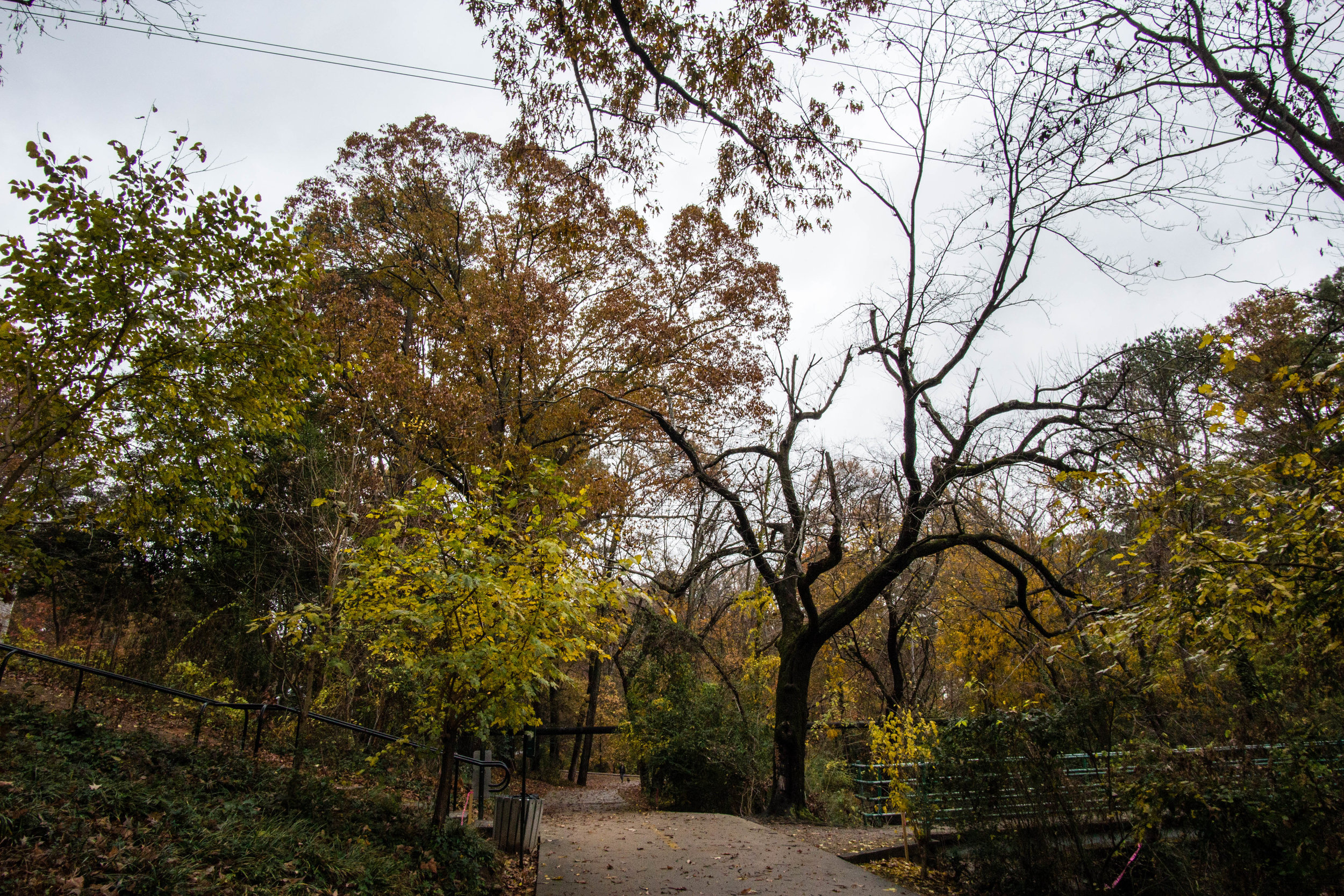
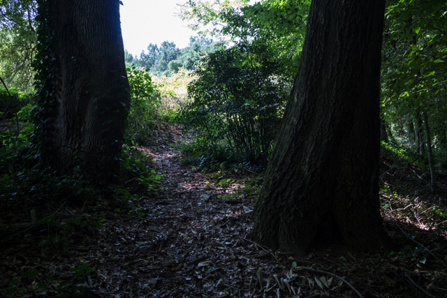
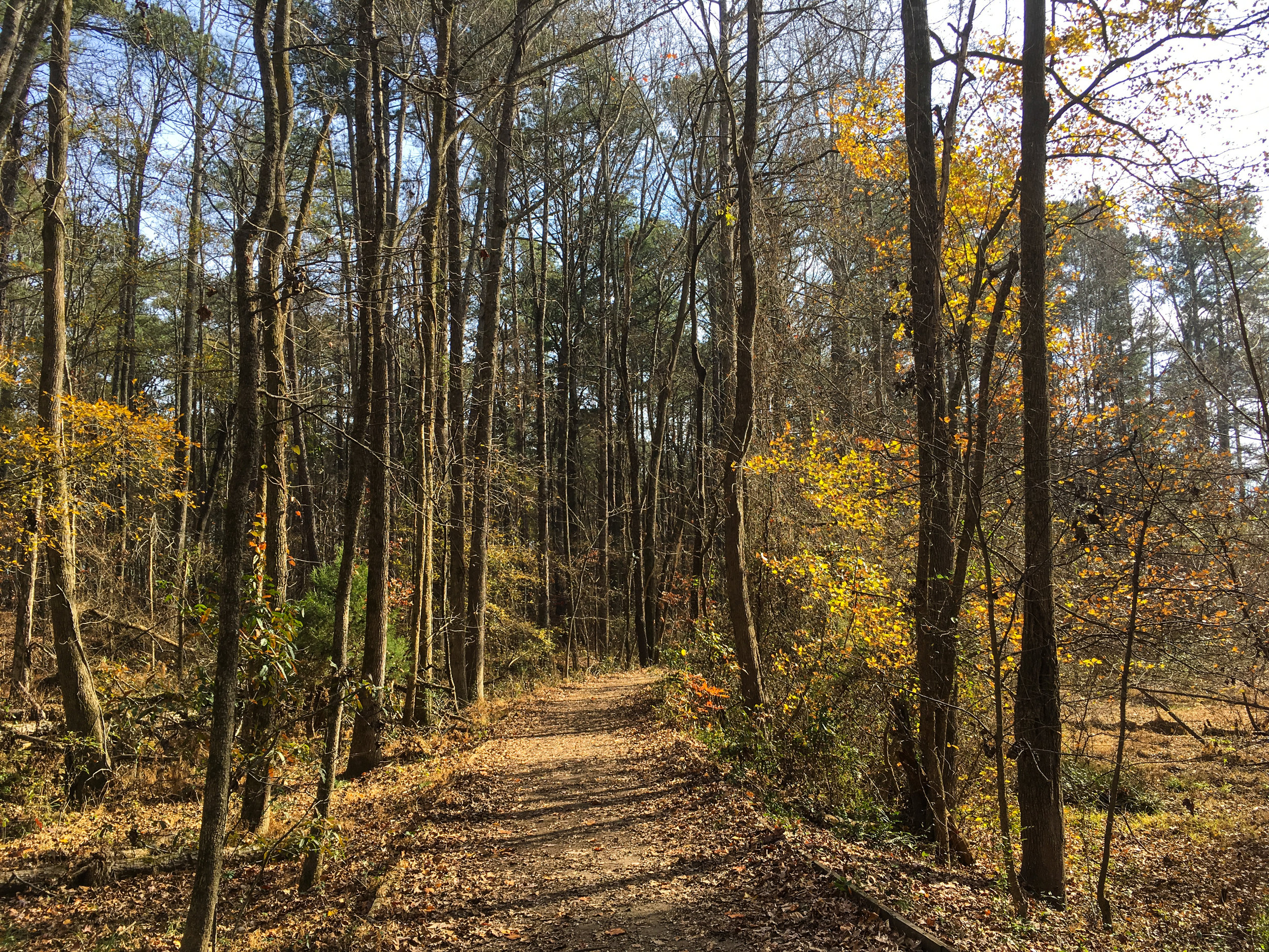
Trail surface: Natural
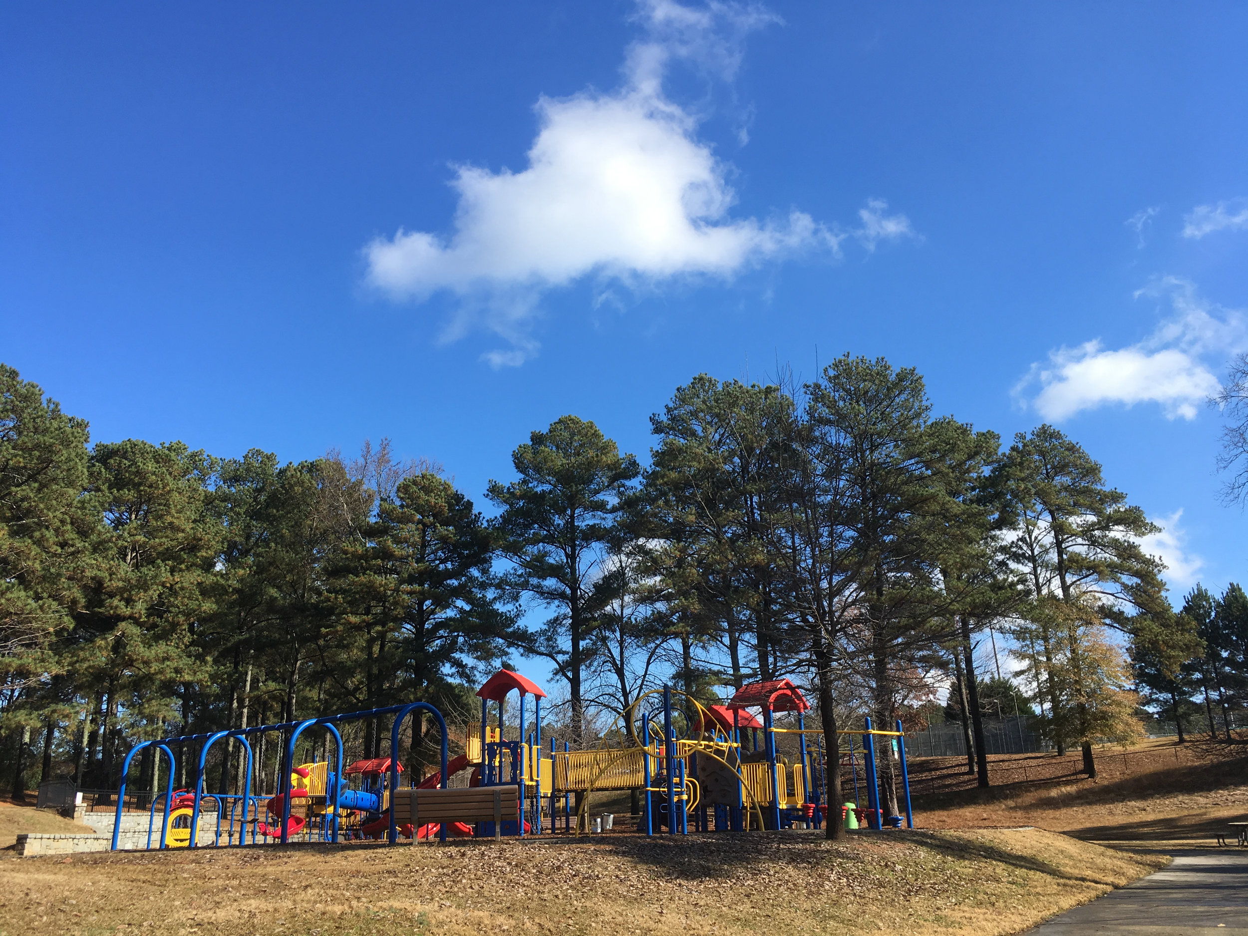
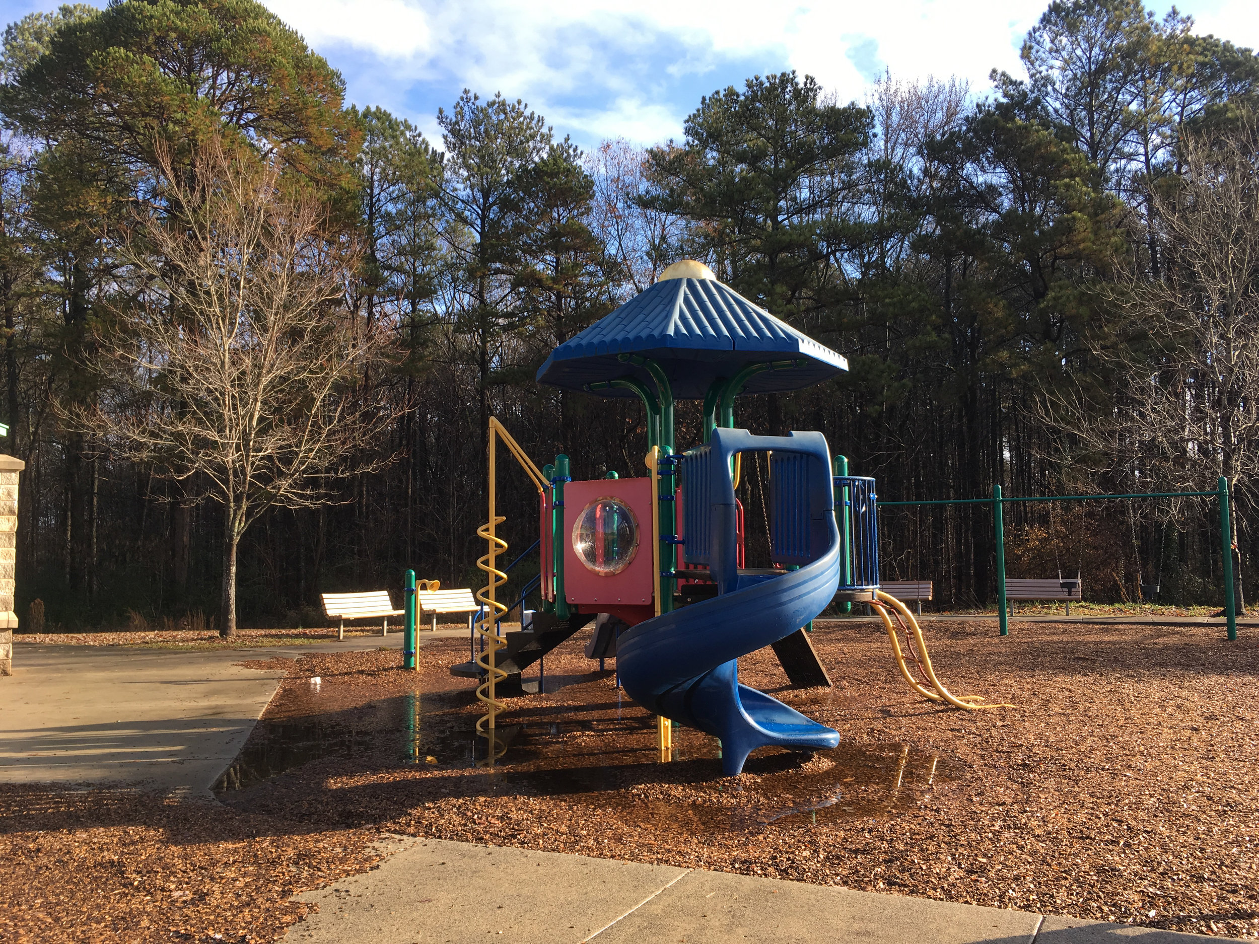
Amenities:
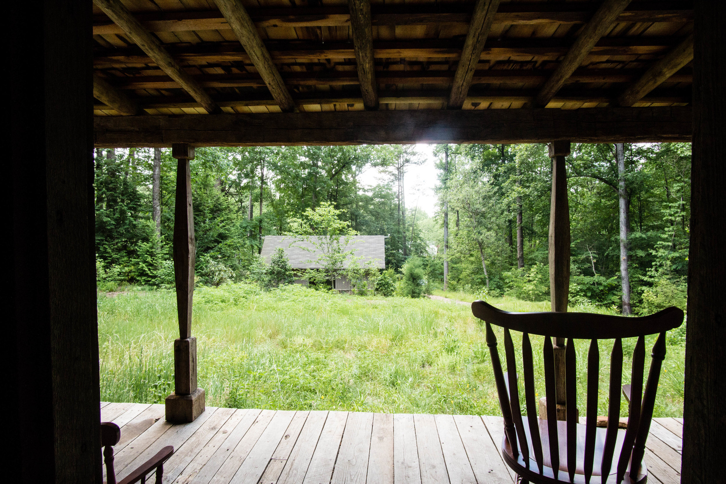
Interpretive Center (8-5 Monday-Friday)
Bike racks (at first and third trailheads mentioned above)
Restrooms (in the interpretive center; were open on a weekend when I visited, even though the center was not)
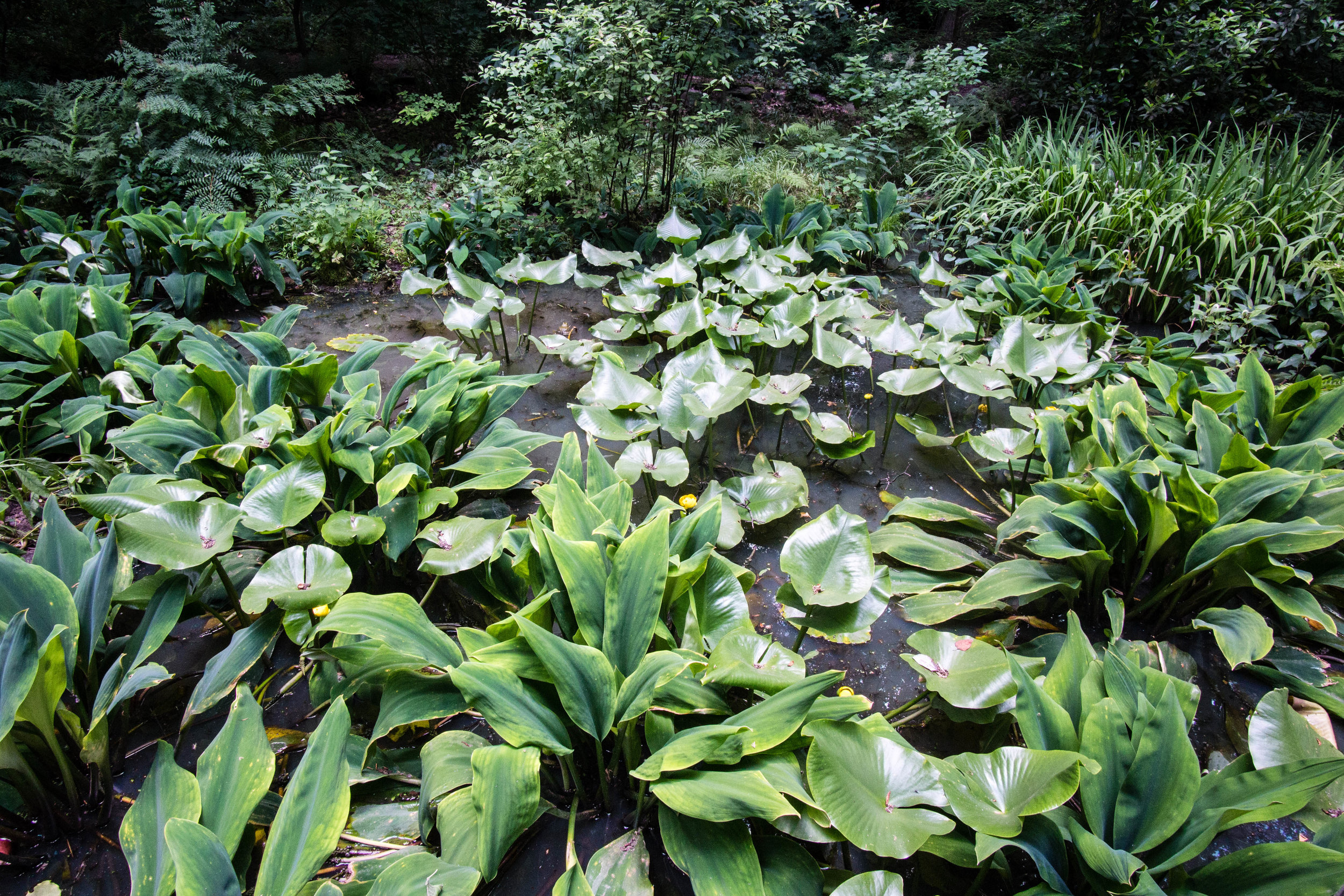
Demonstration garden
One of a series of Clayton County geocaches
Links:


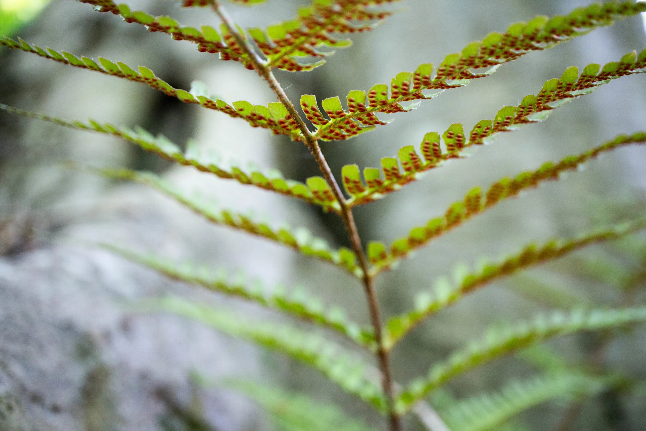
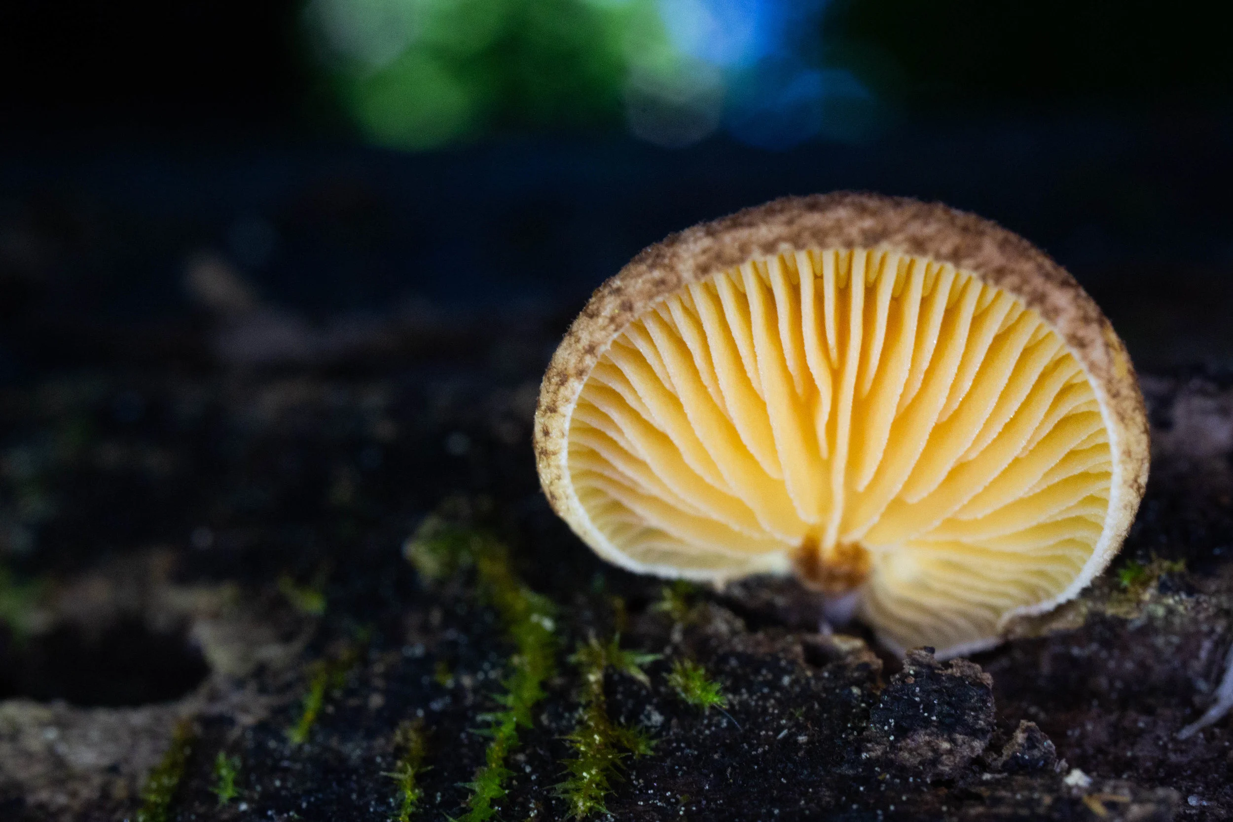
More photos on Flickr:

From around the web
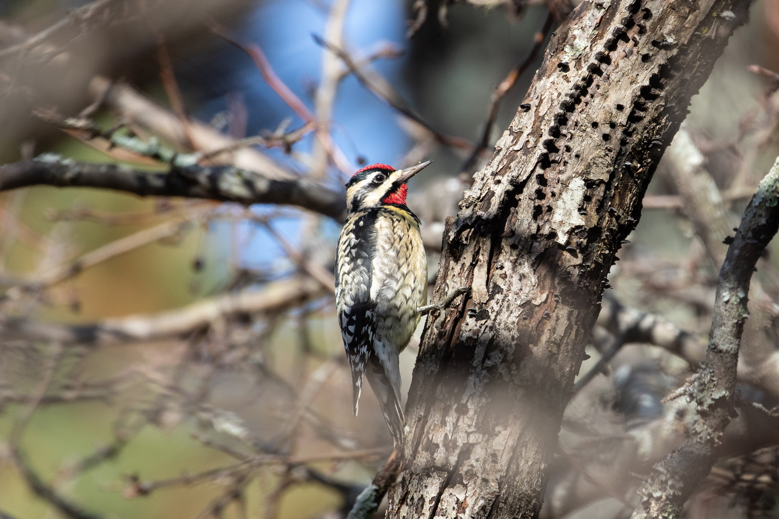
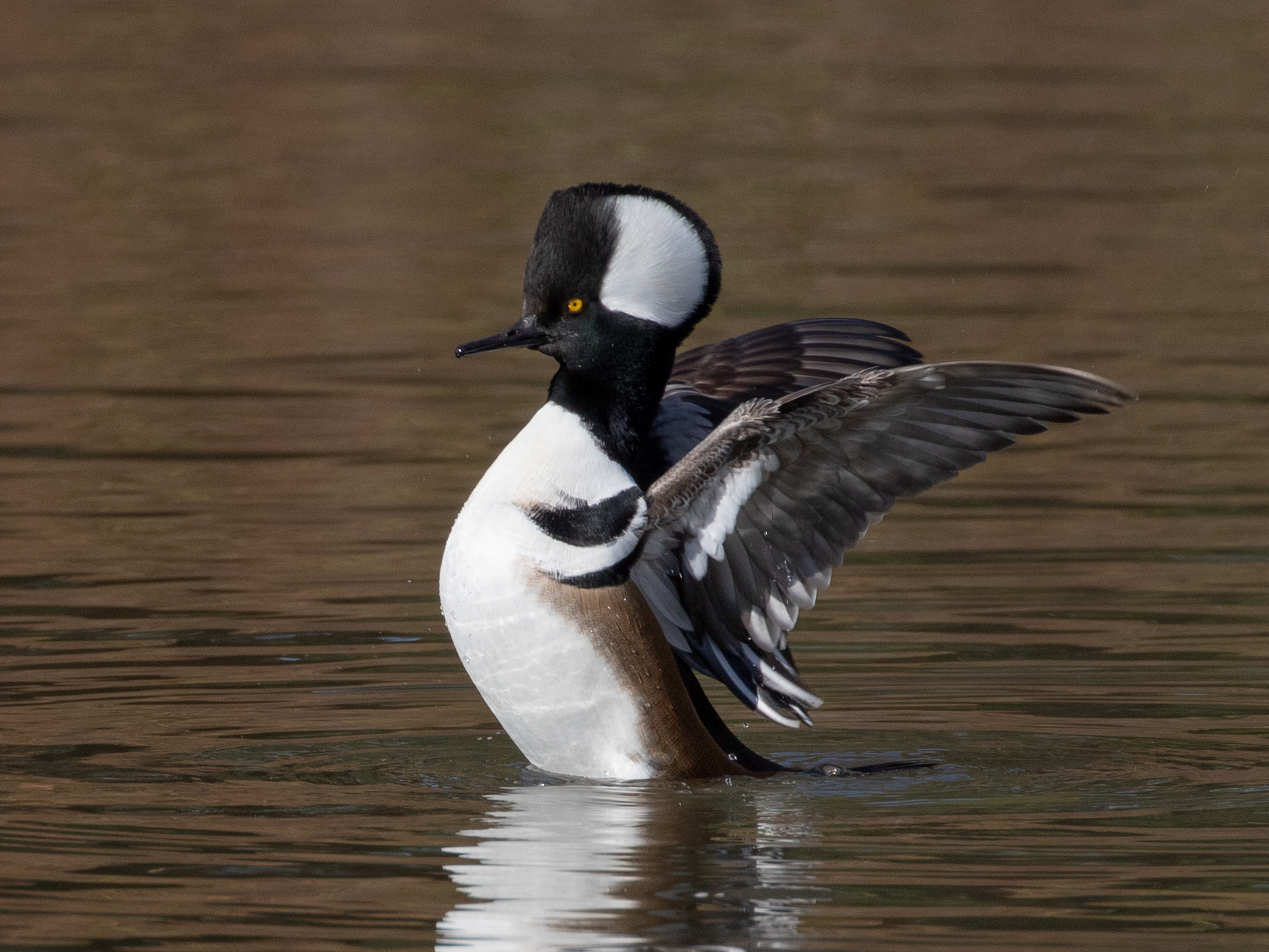
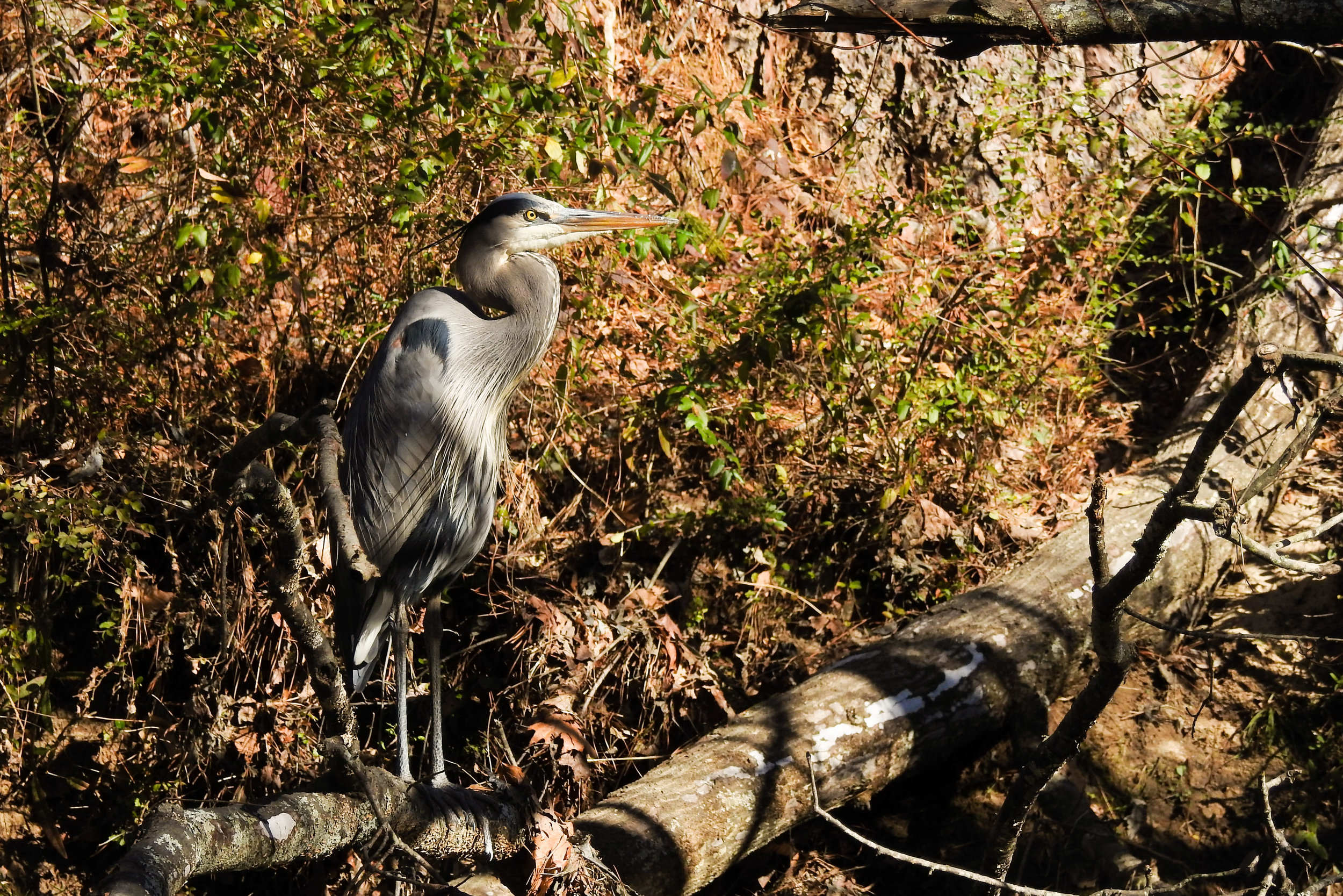
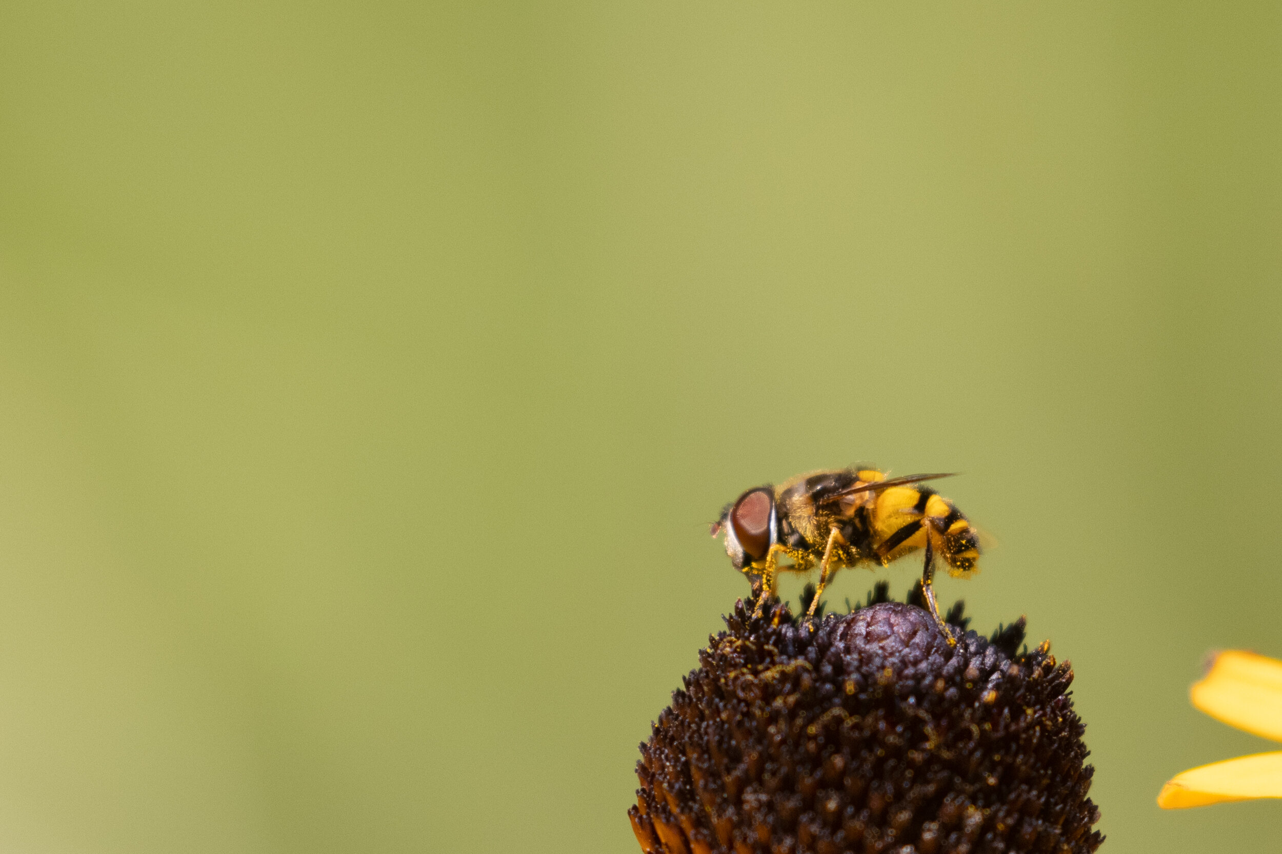
Recent iNaturalist observations
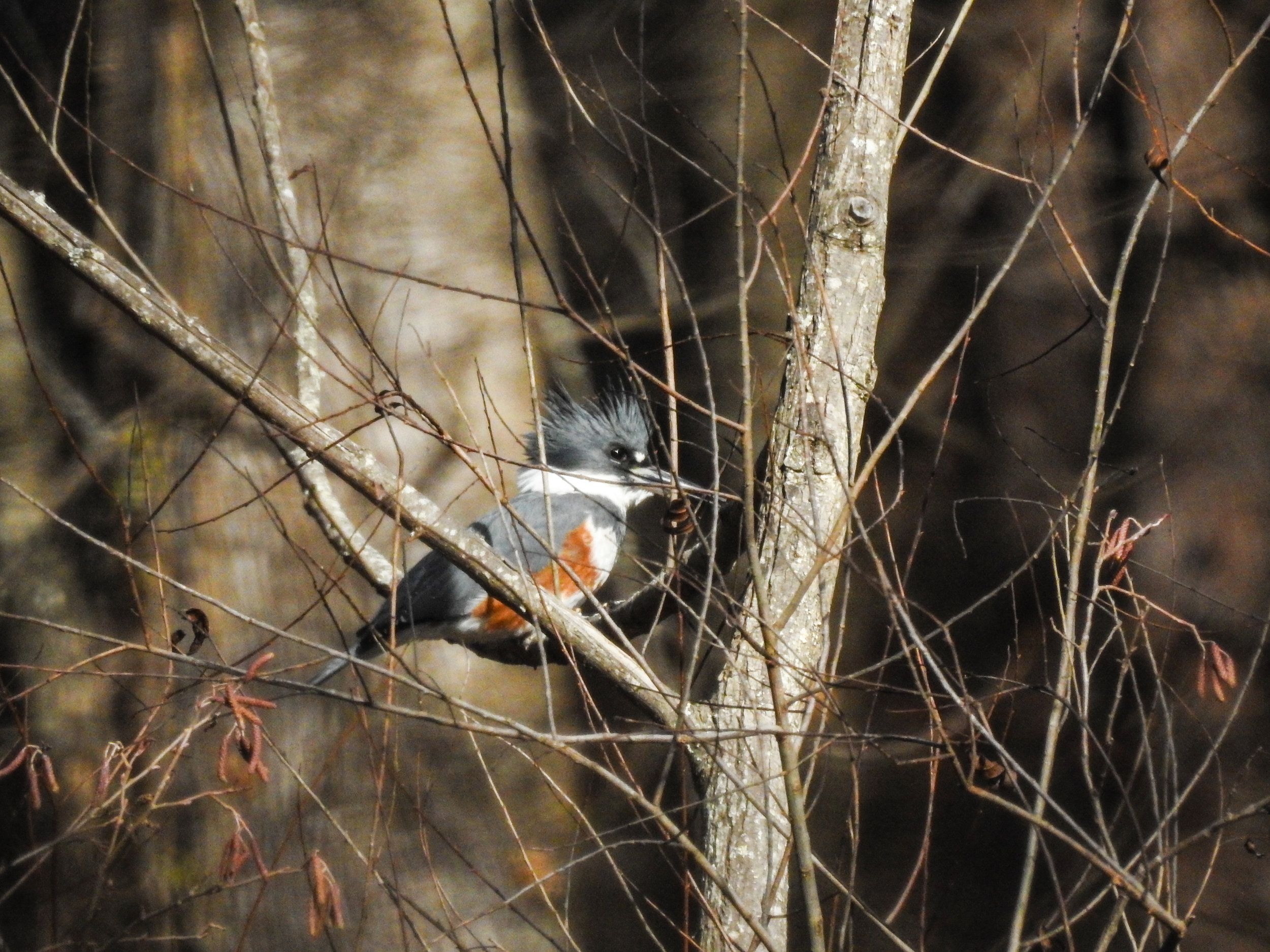
Random eBird sightings from the last 30 days
Good to combine with:


Updated December 16, 2017 and July 31, 2021