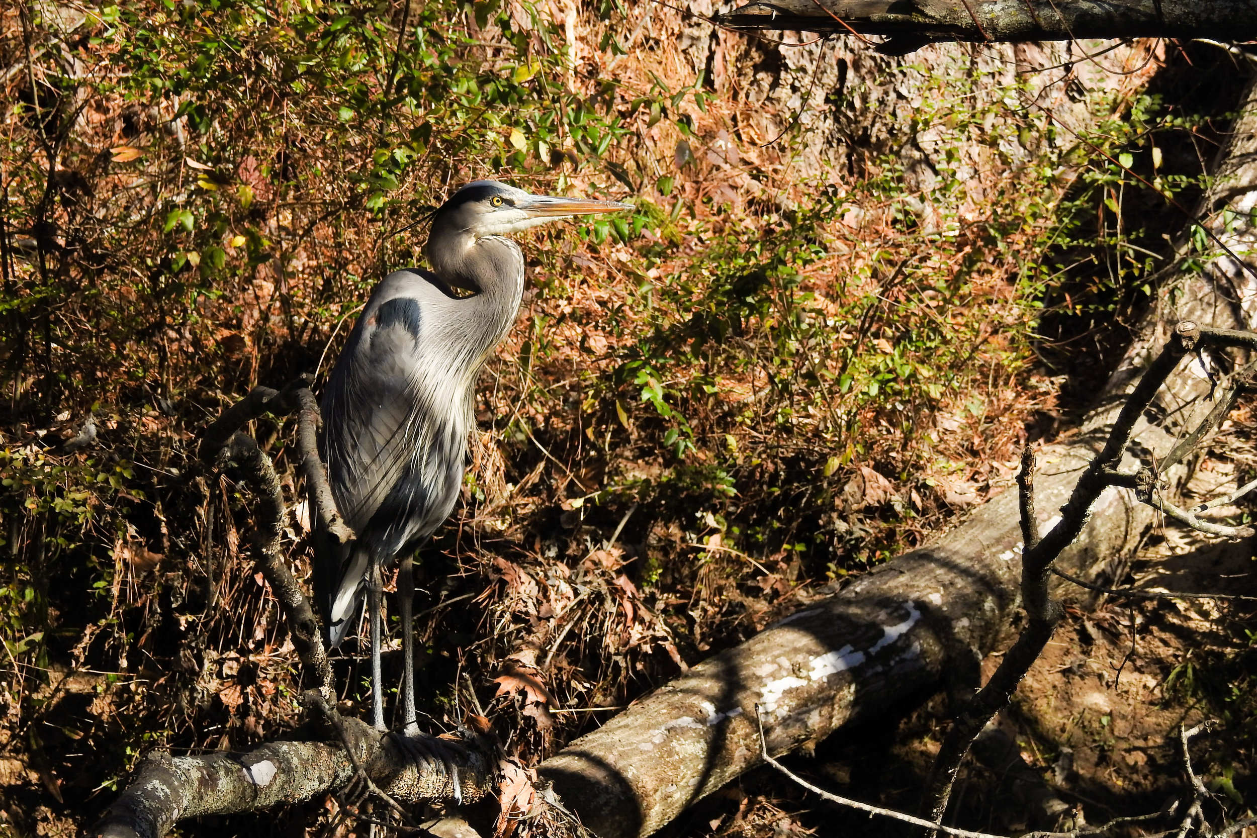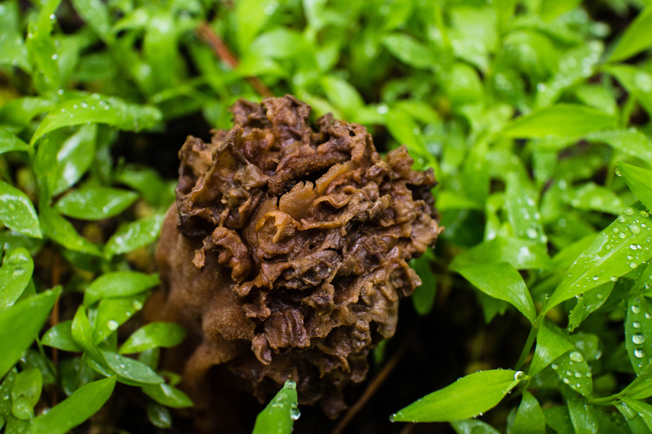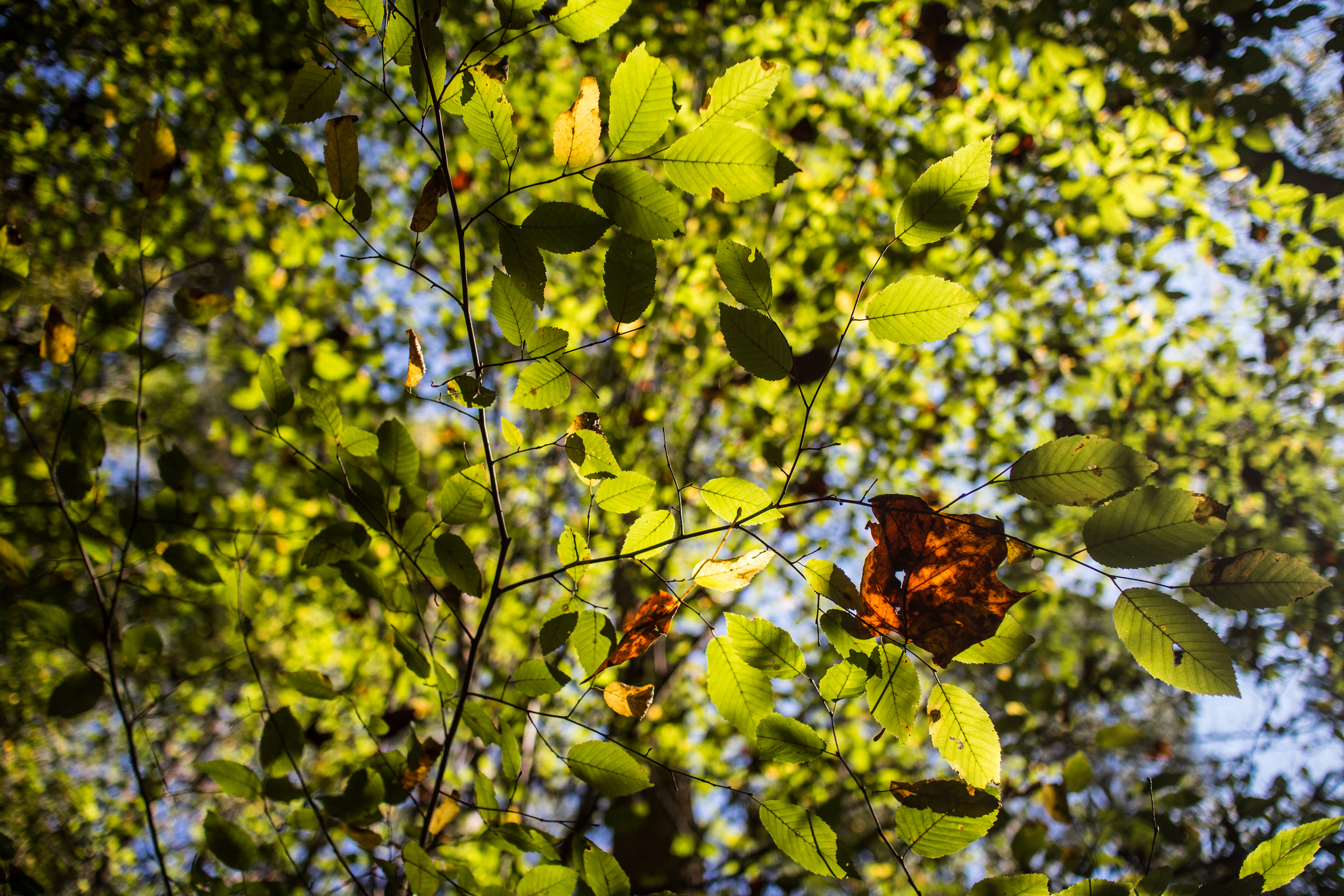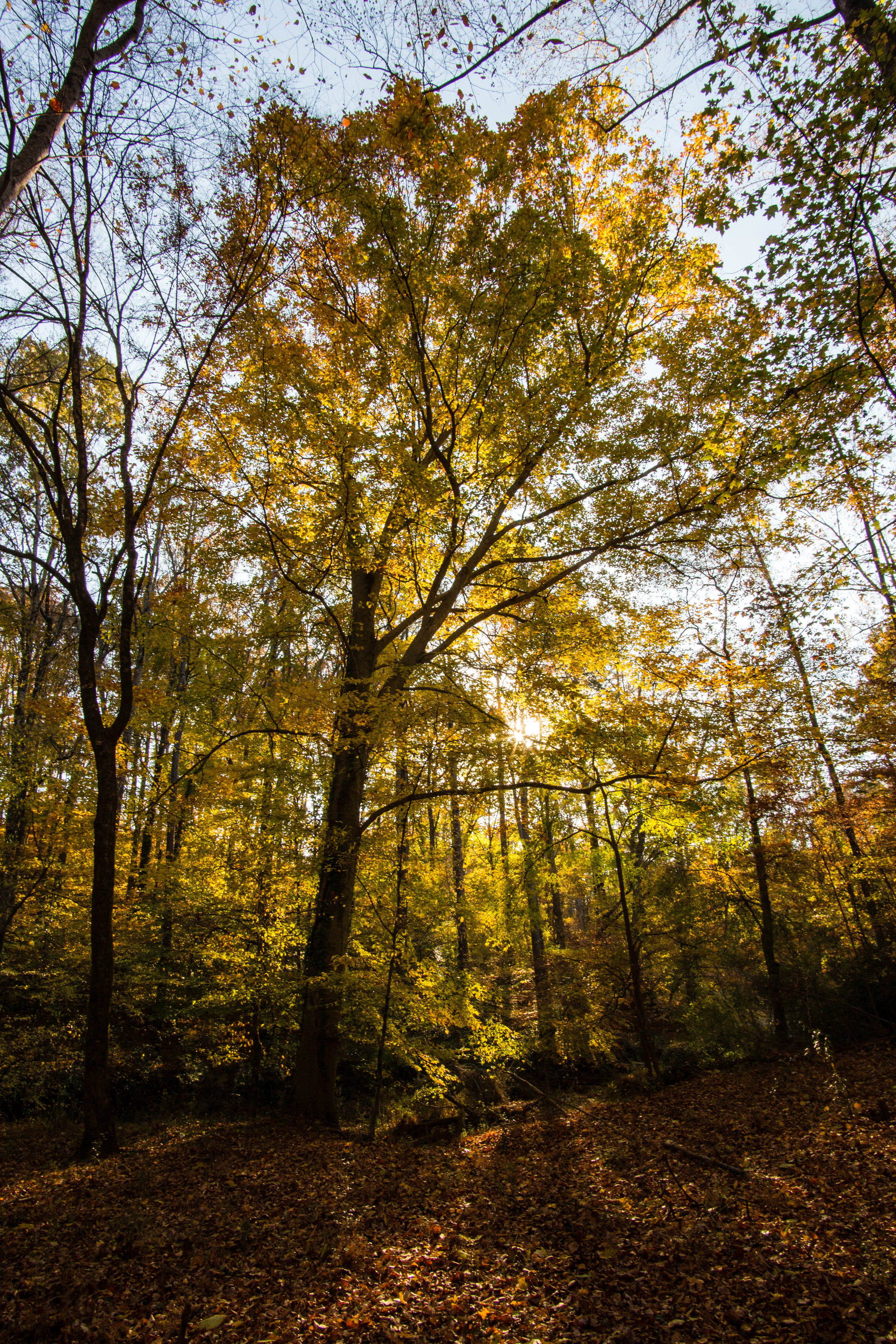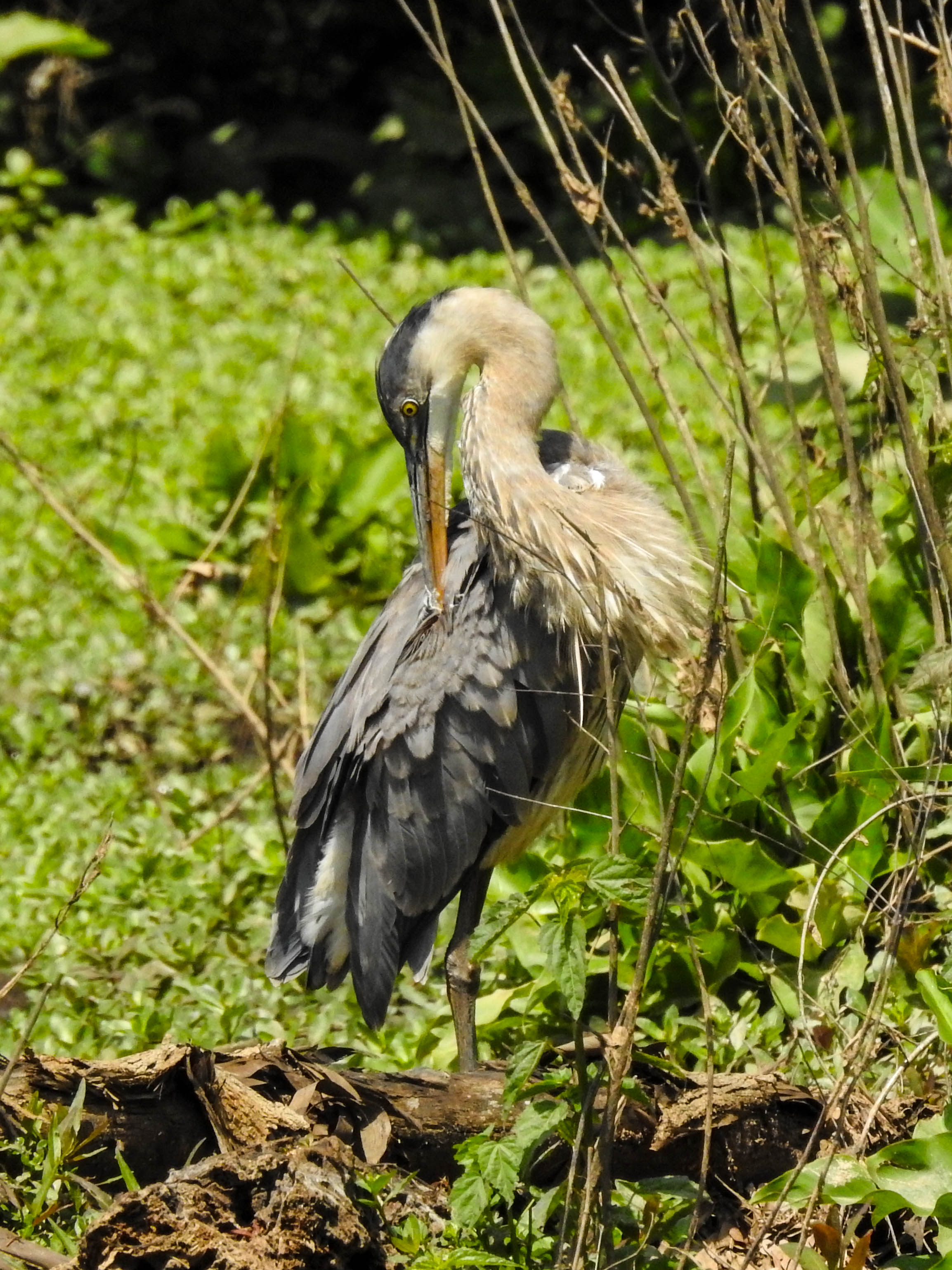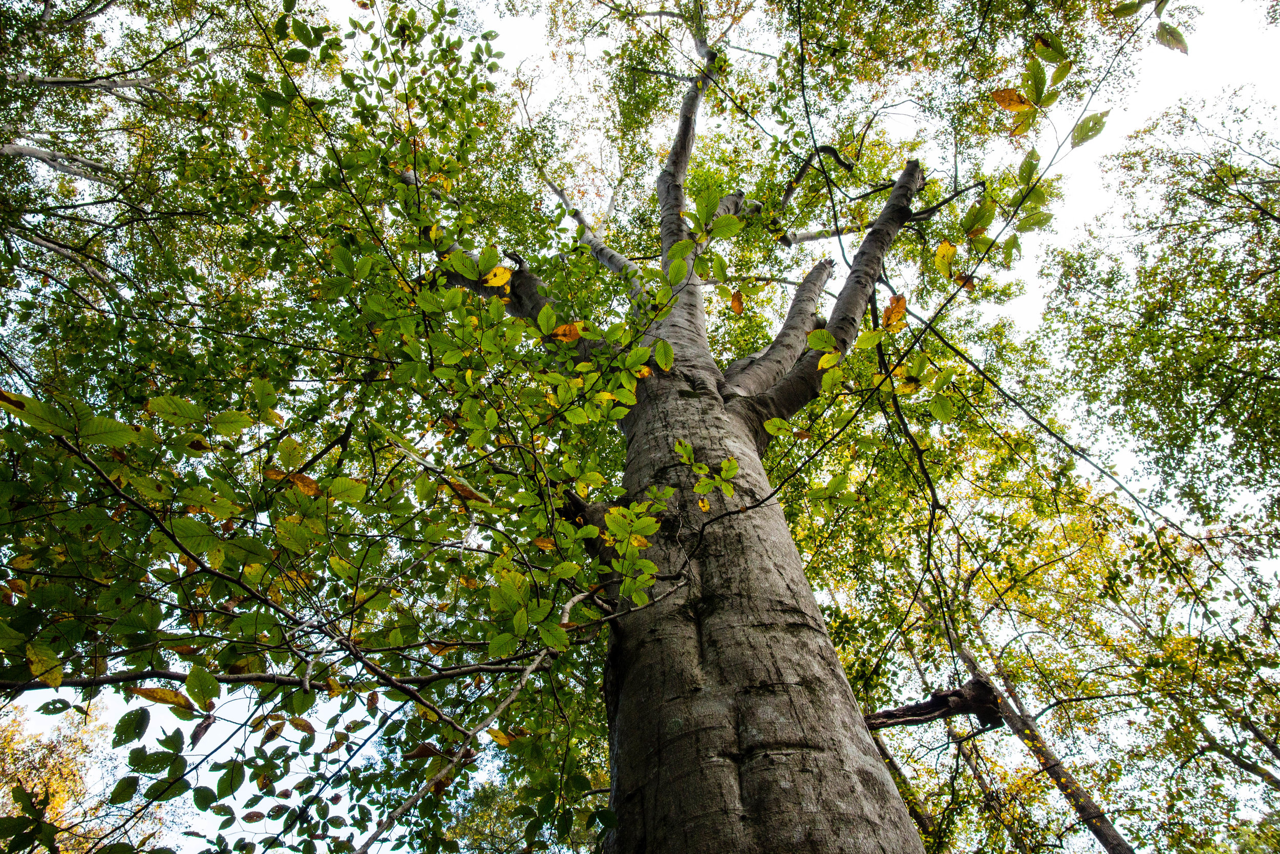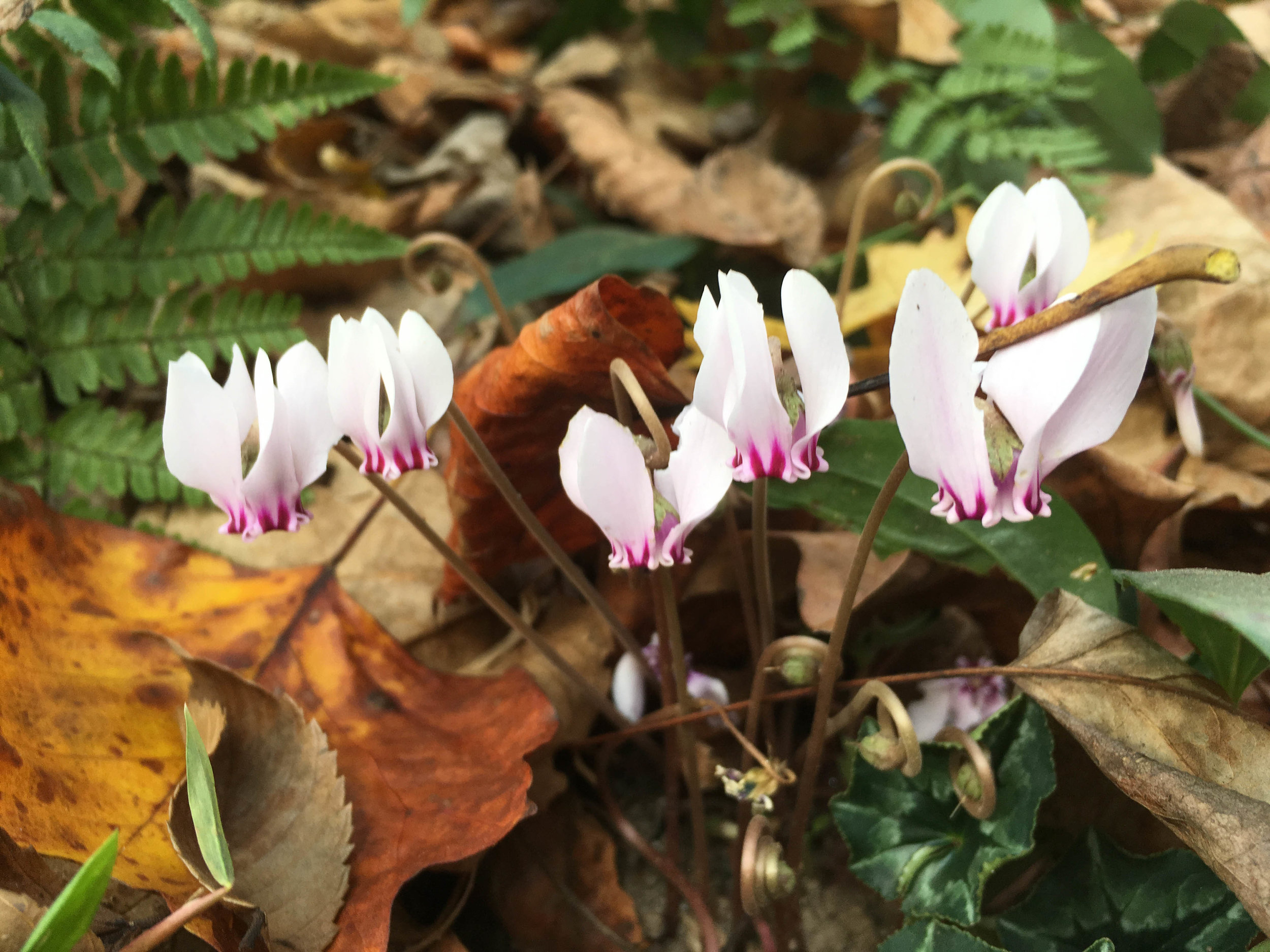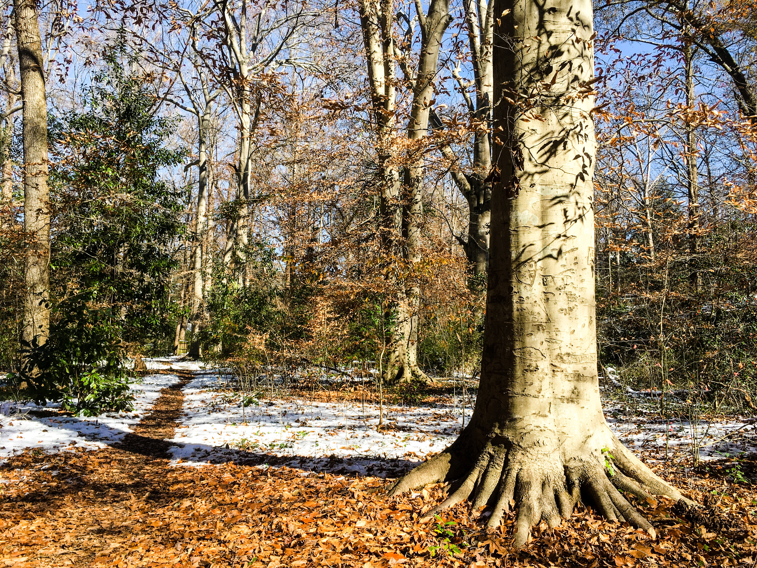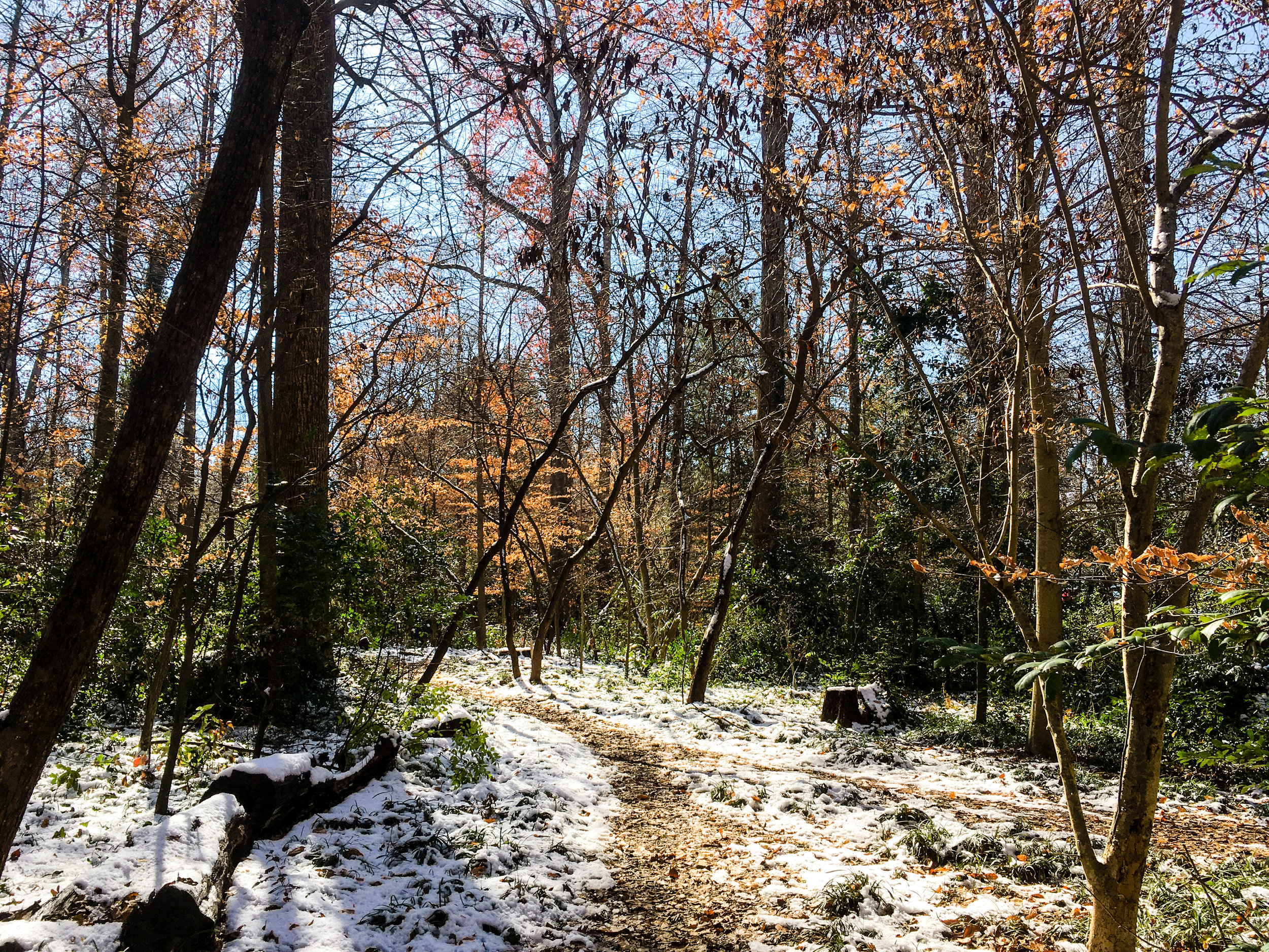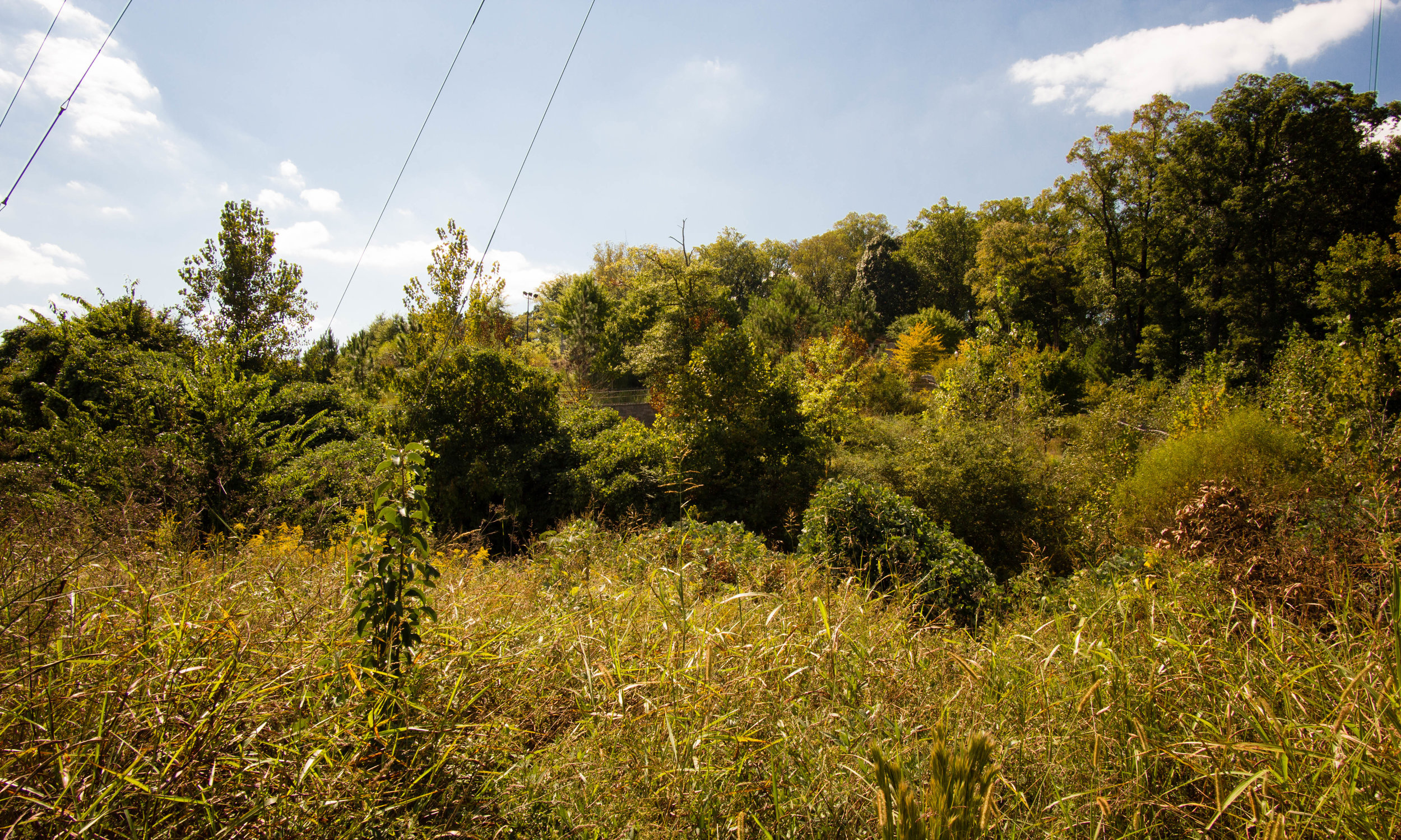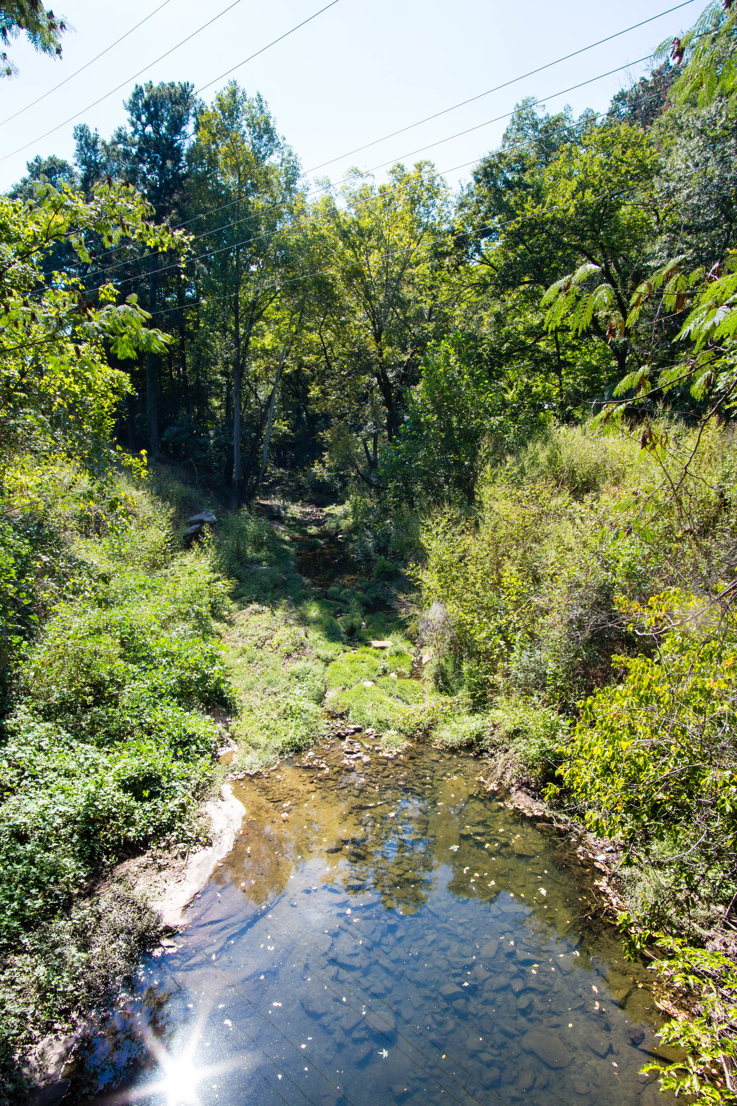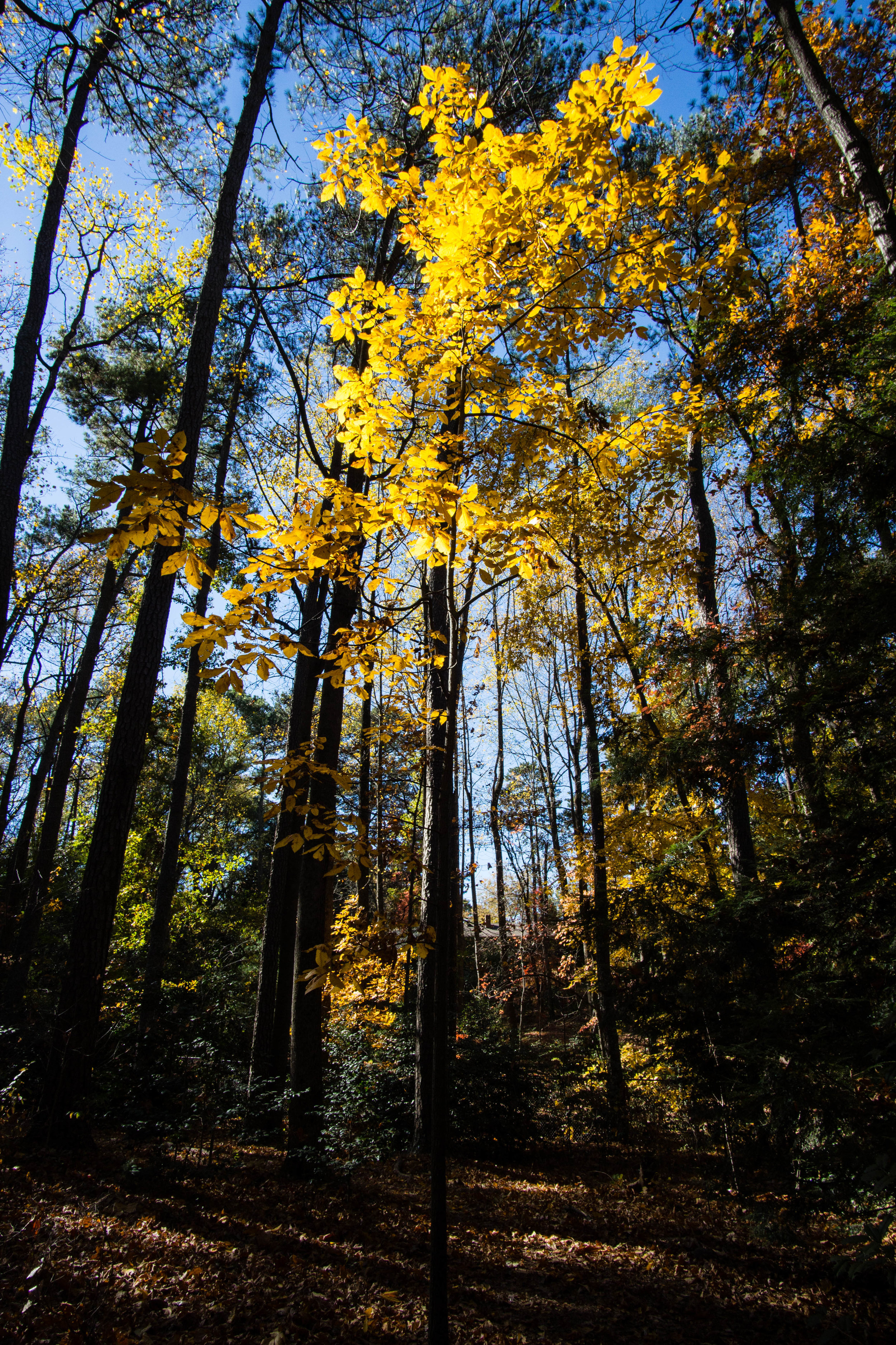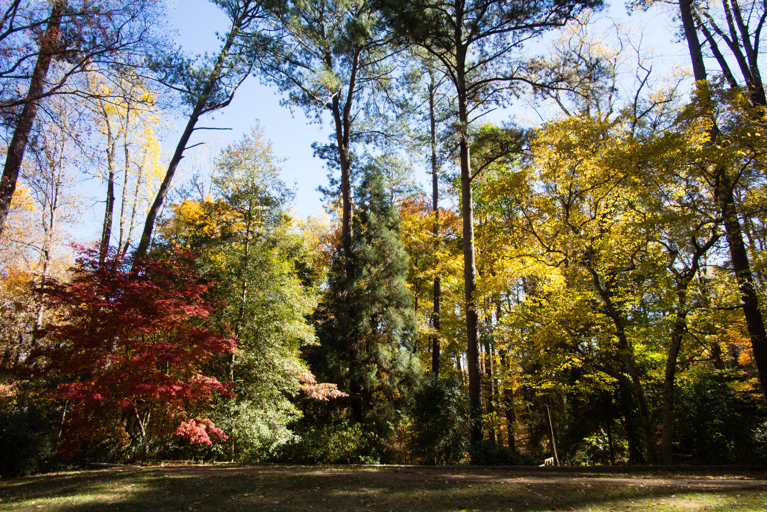
Blue Heron Nature Preserve
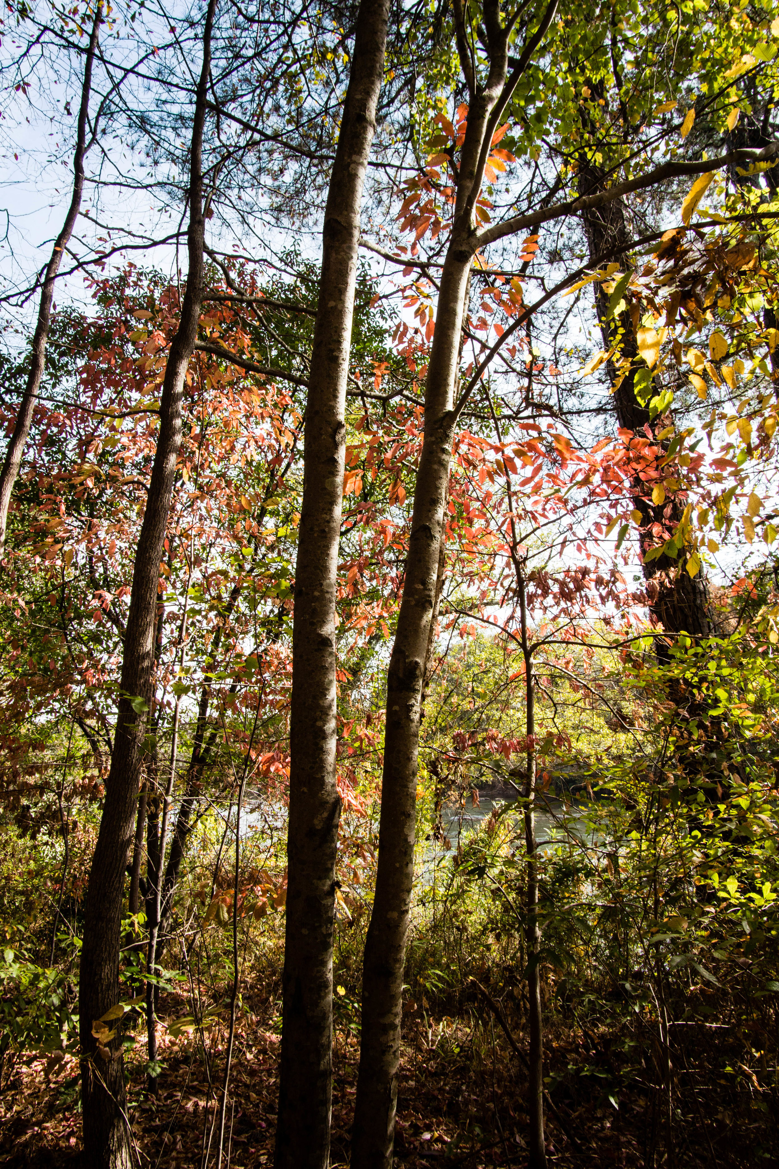
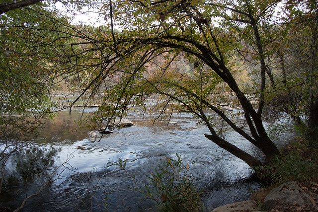
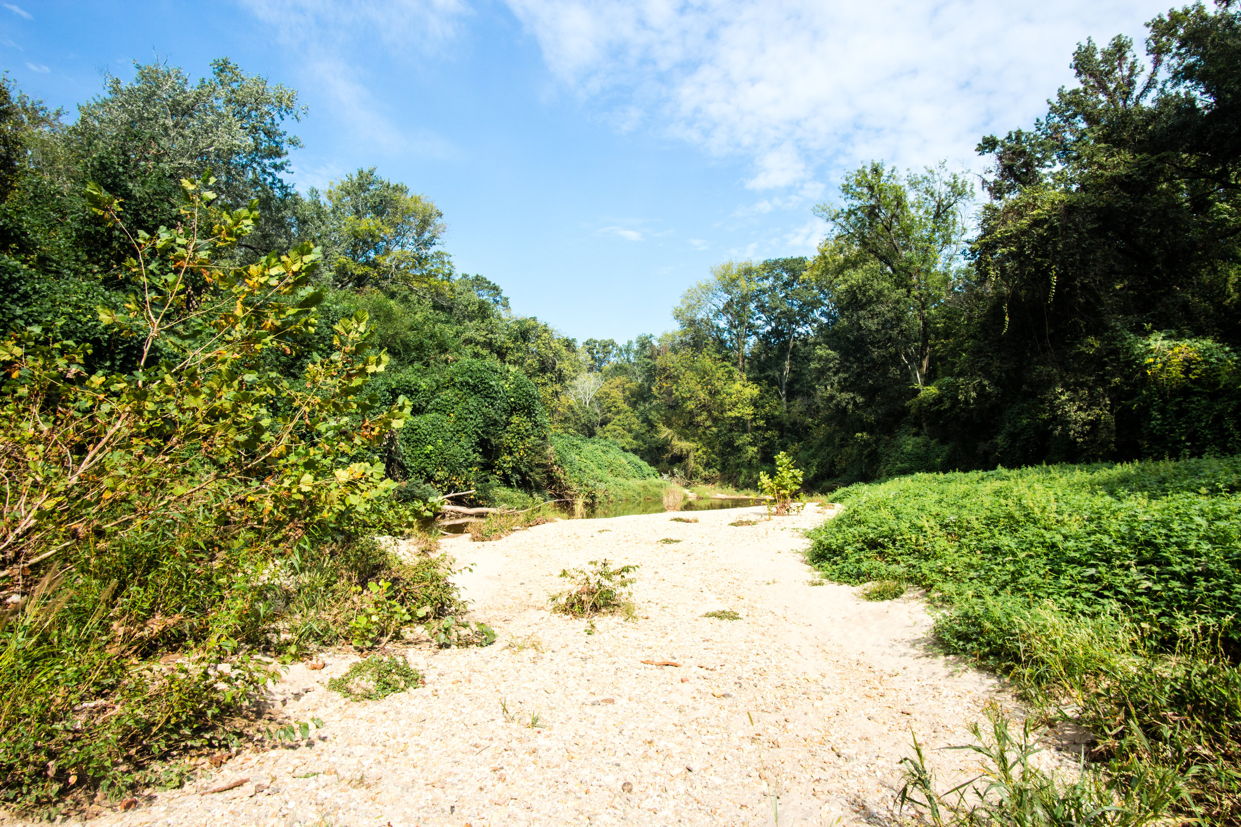
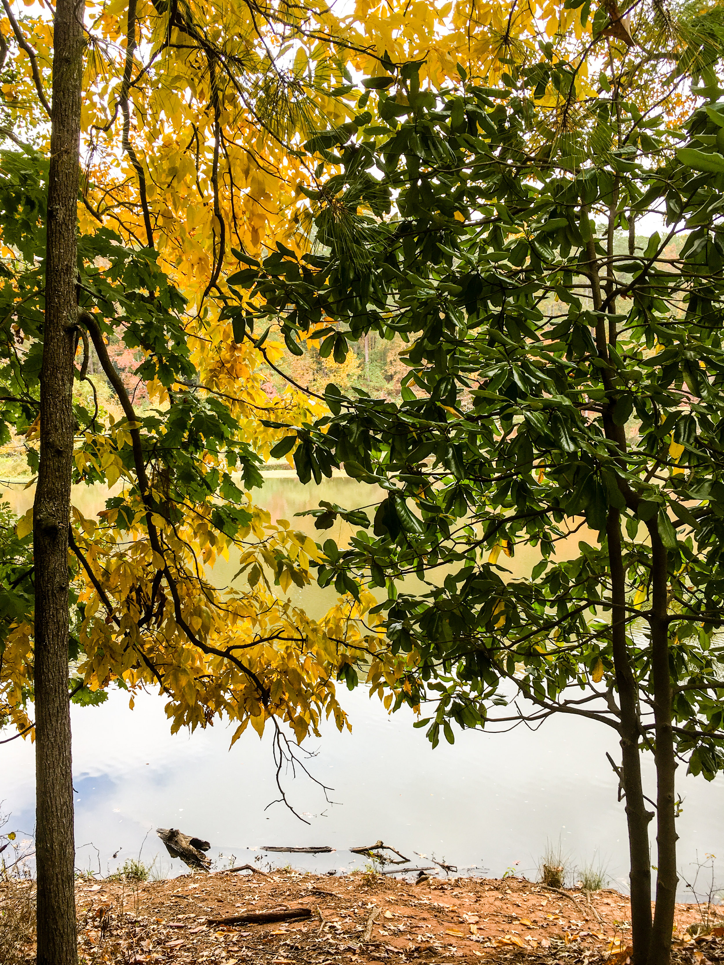
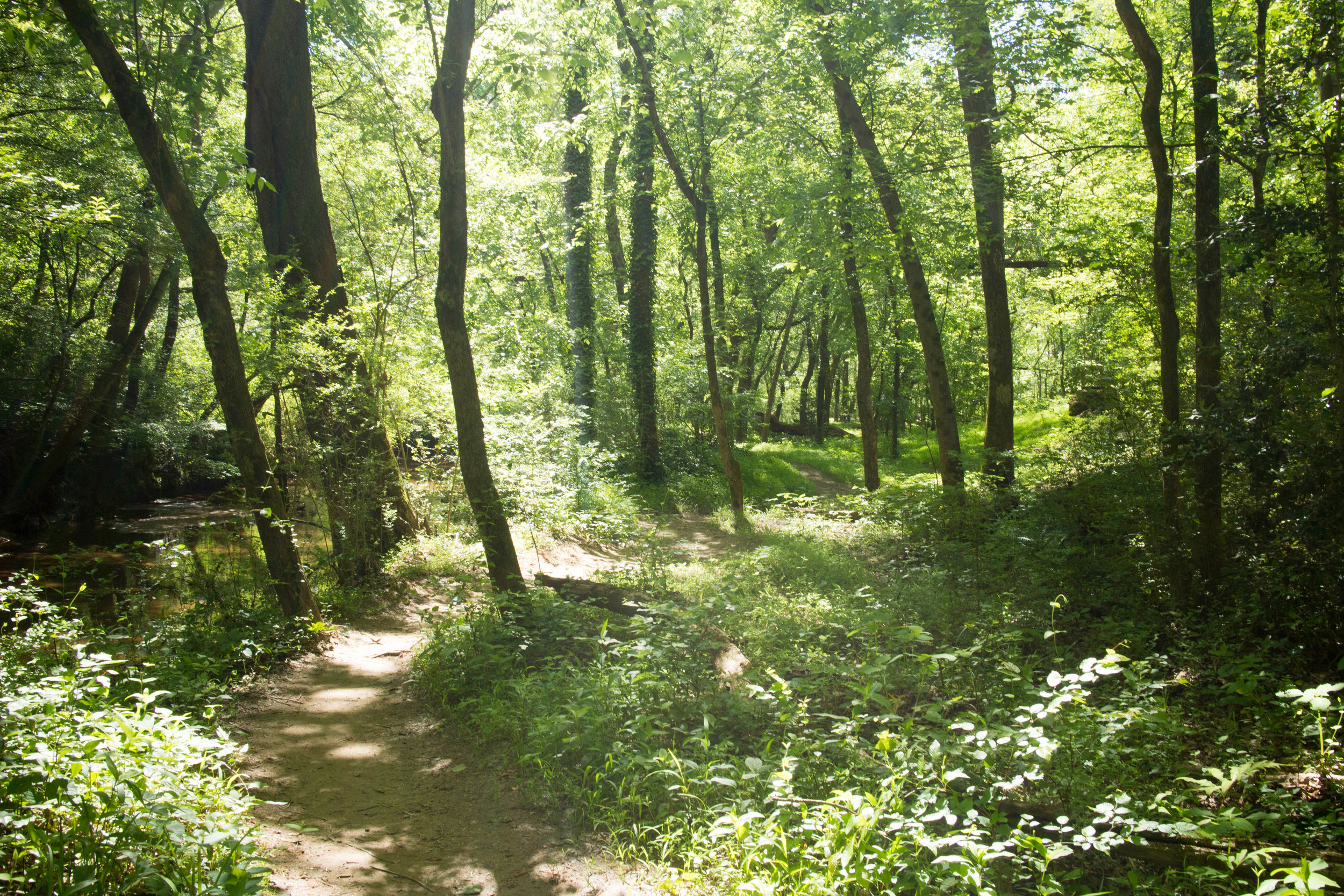
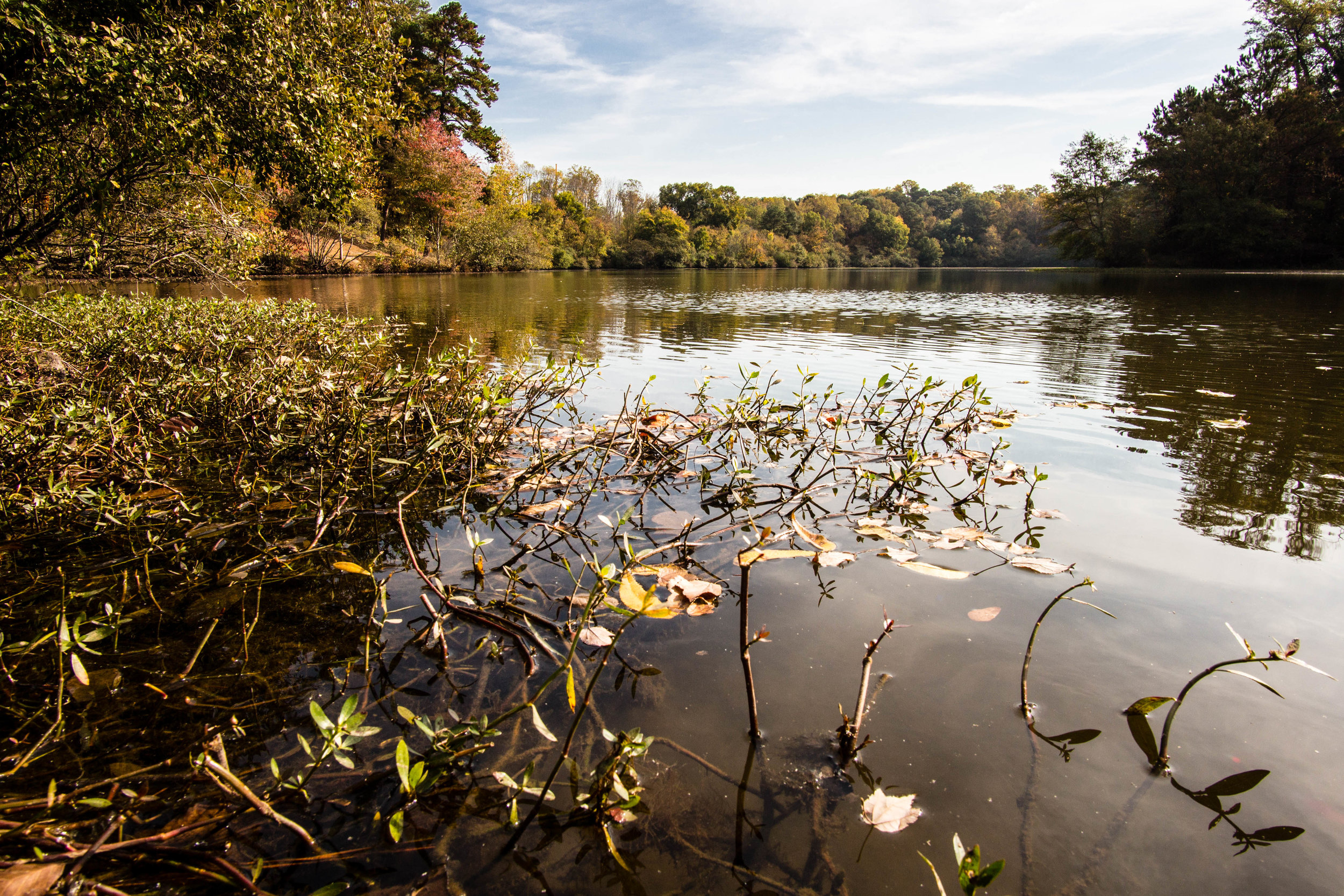
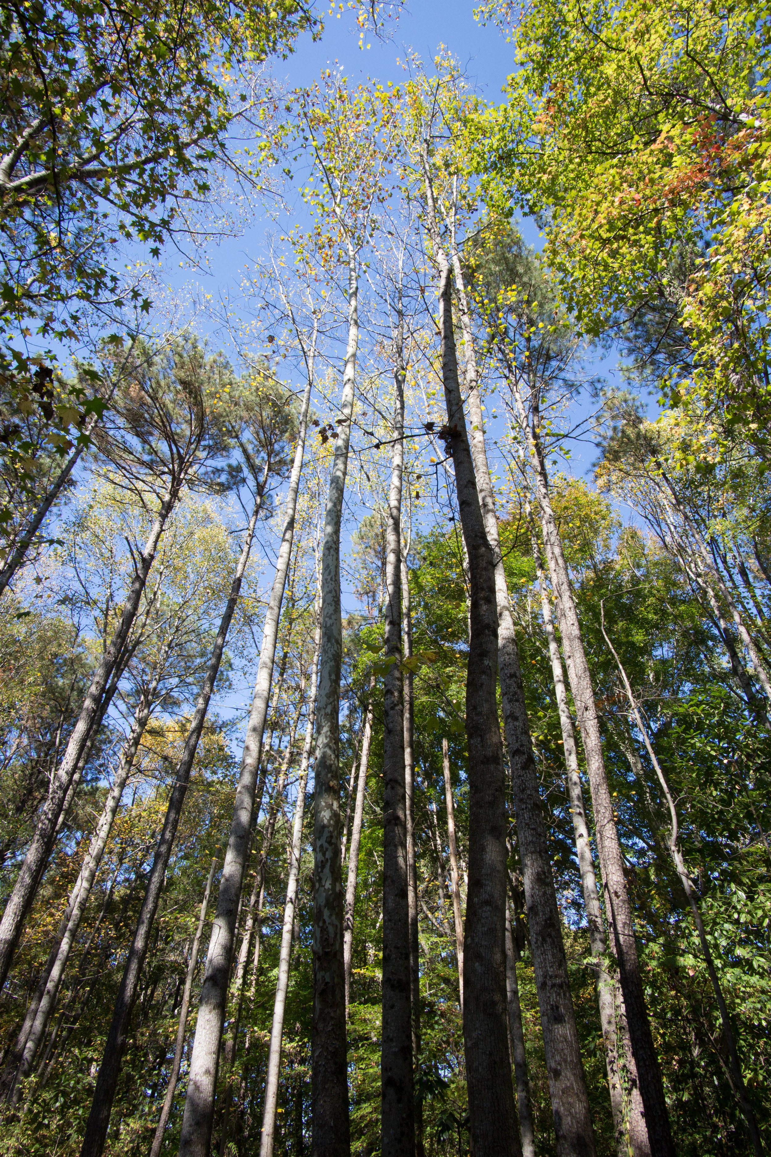
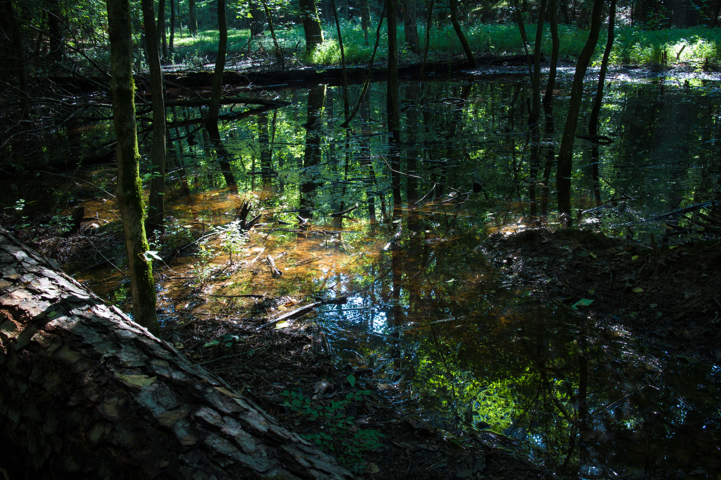
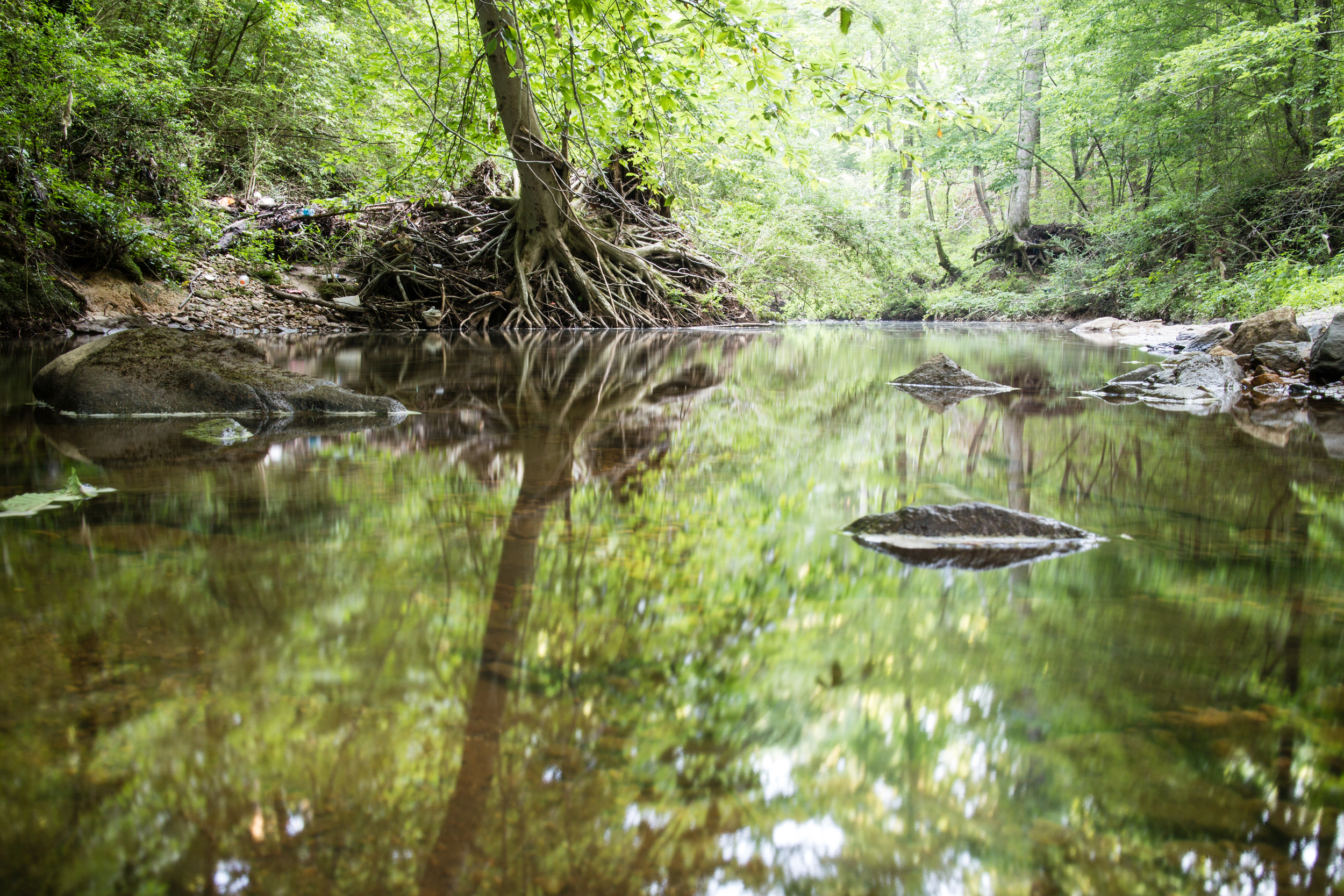
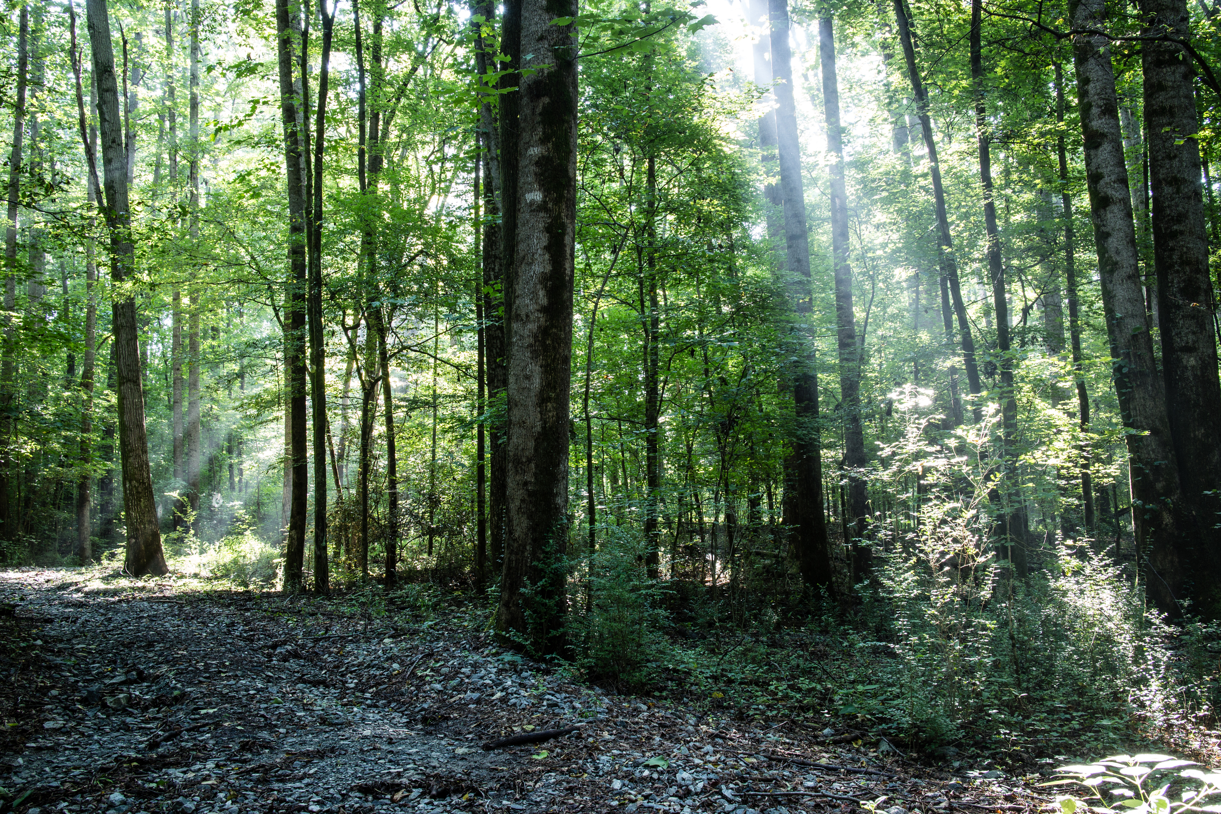
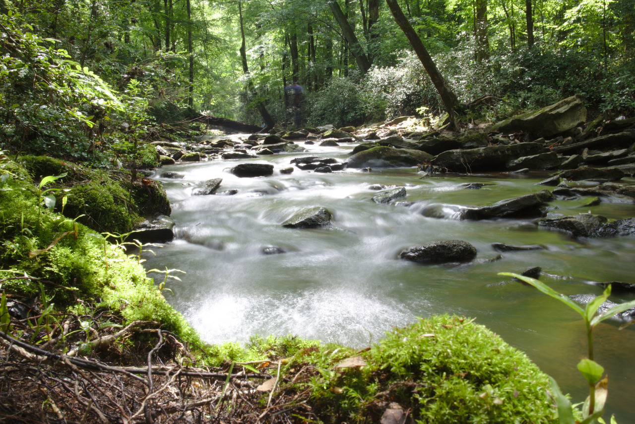
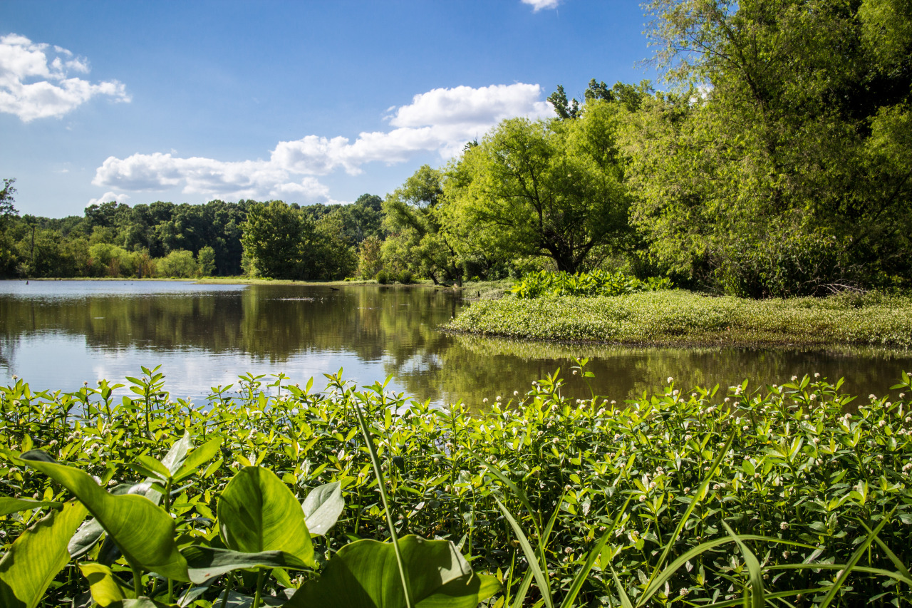
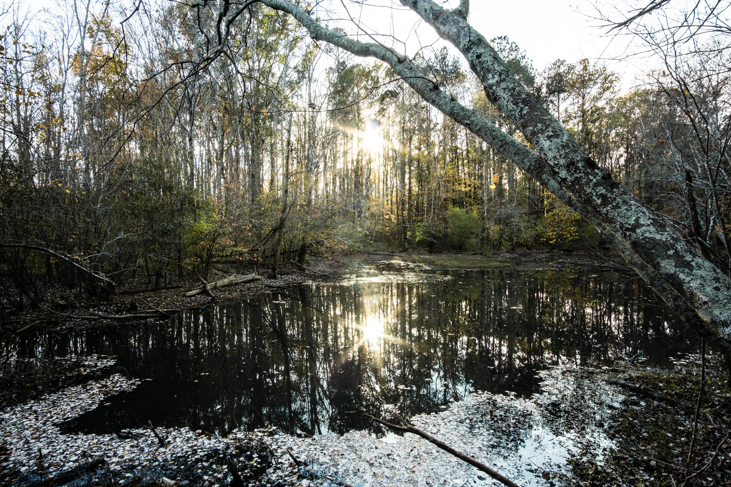
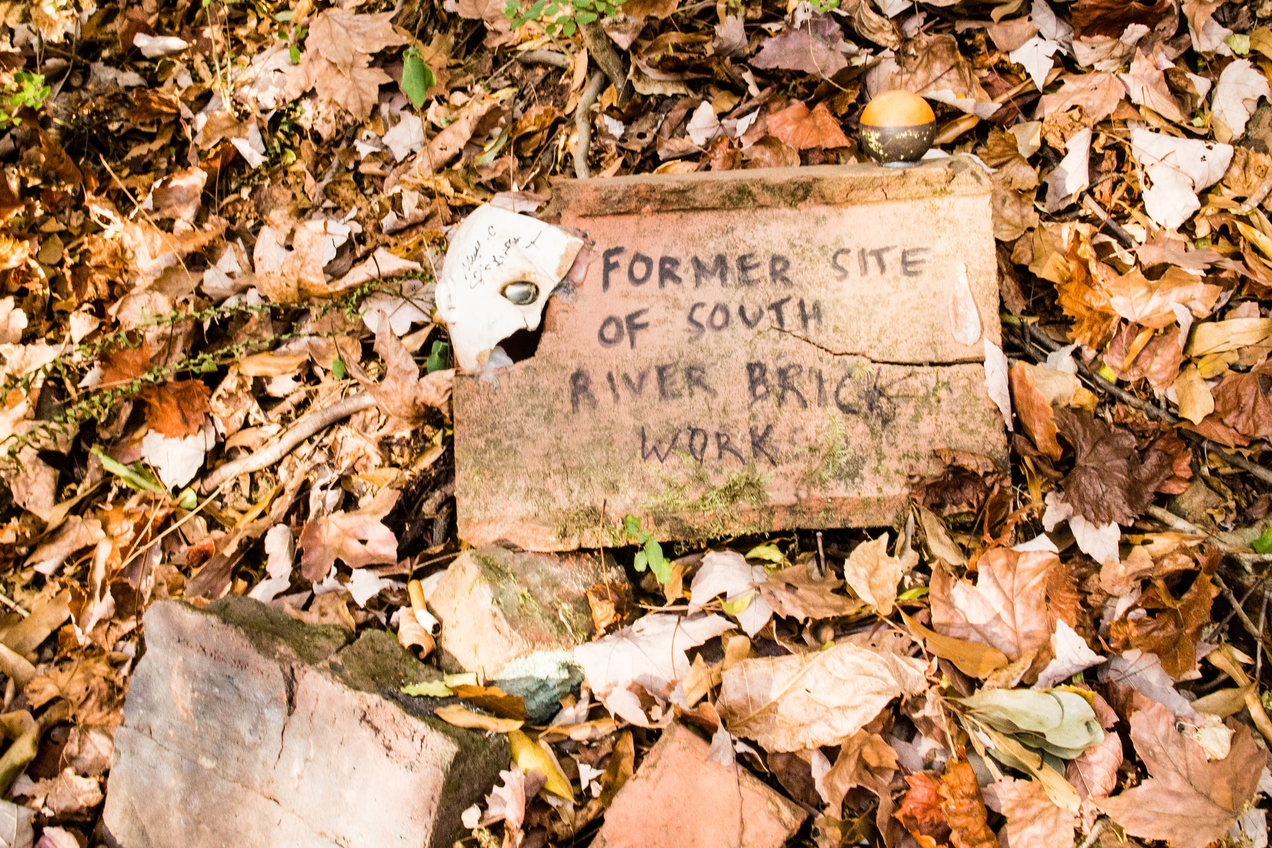
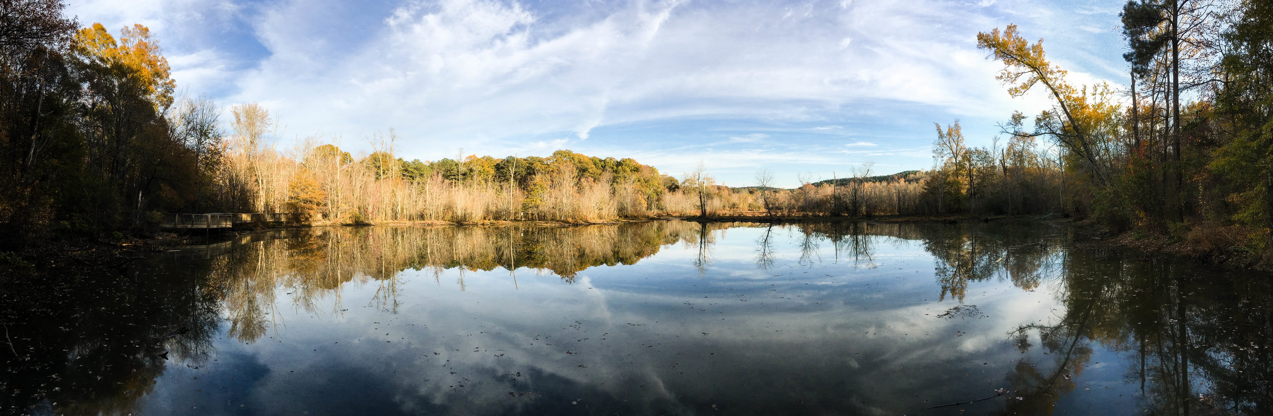
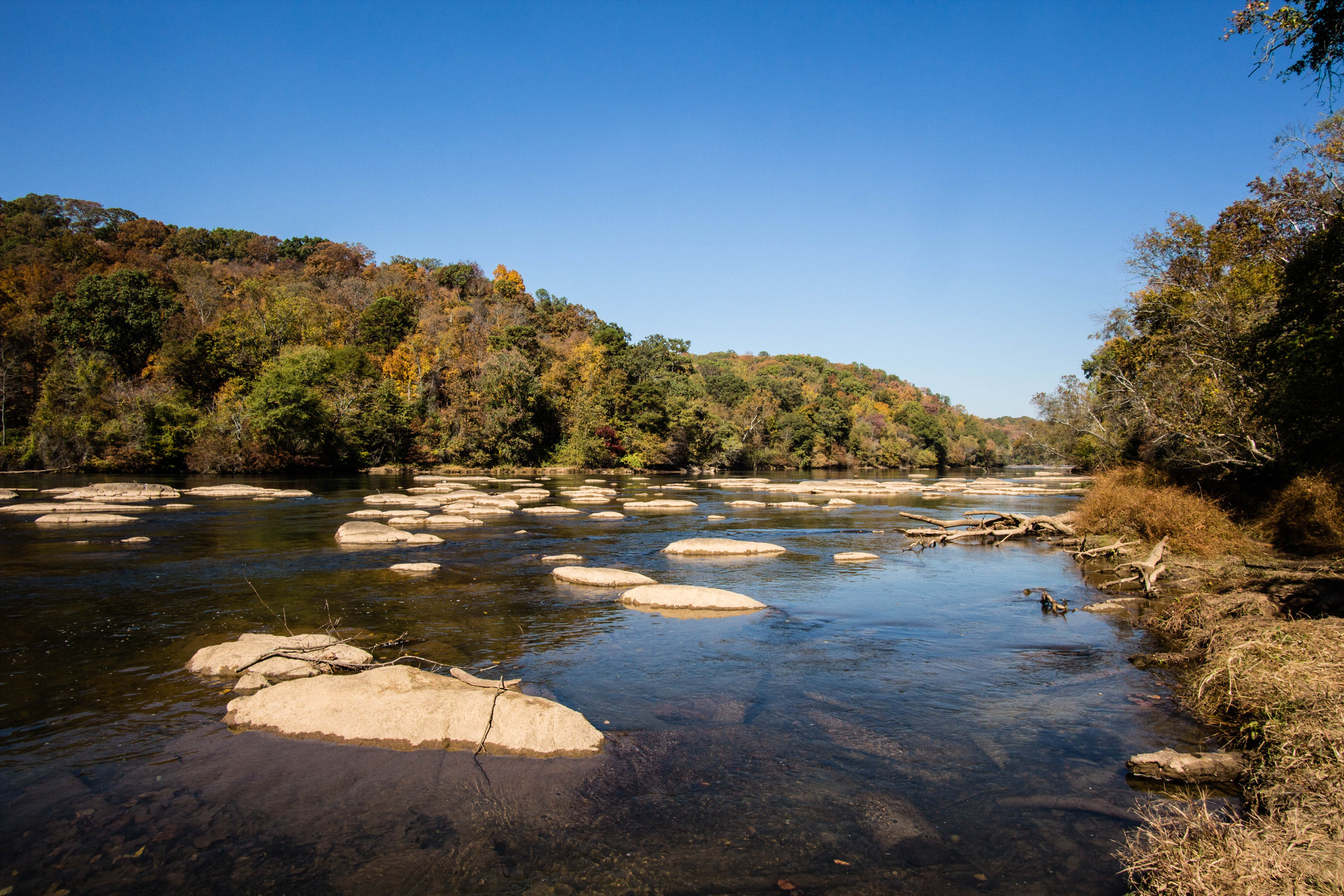
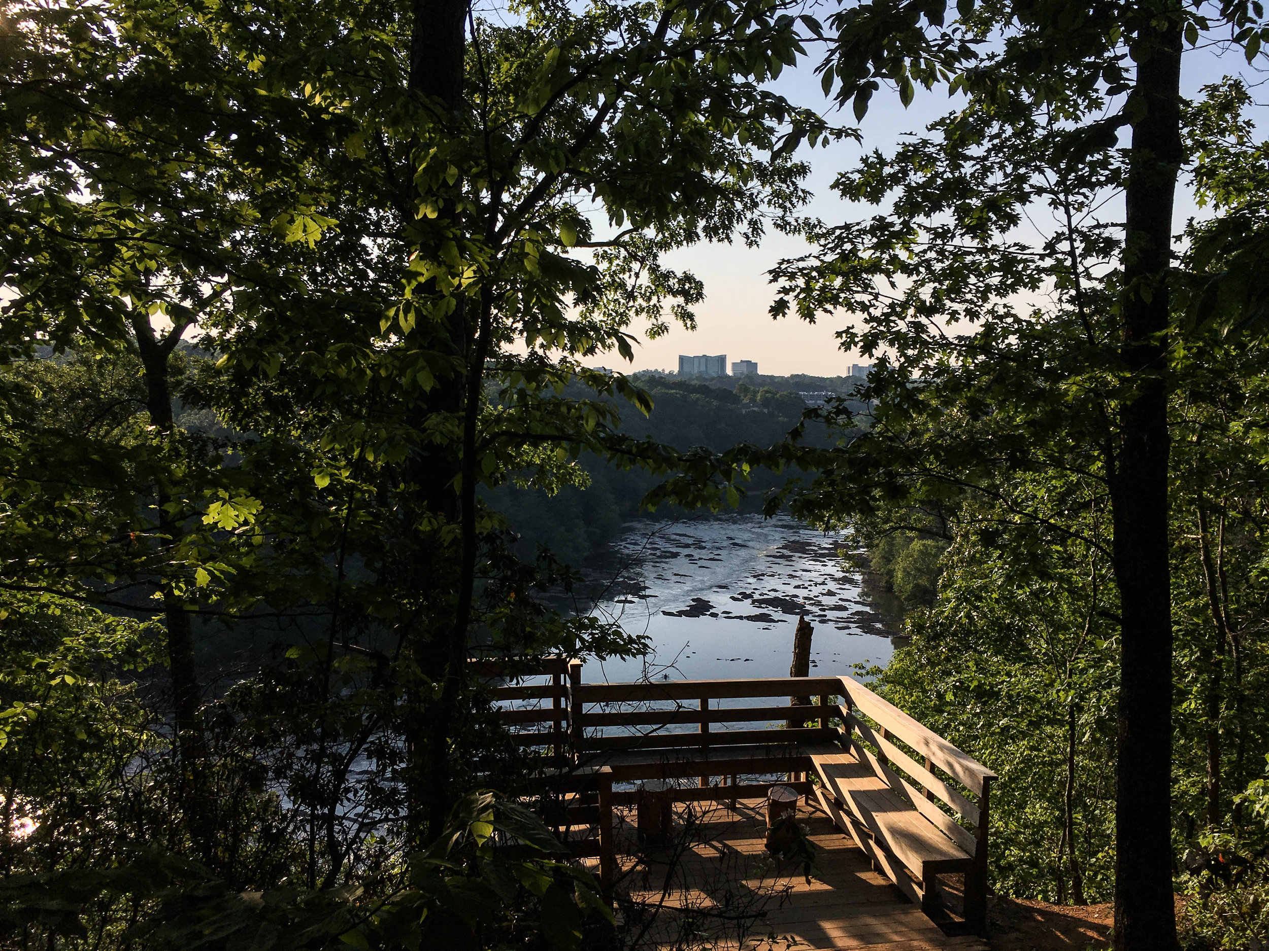
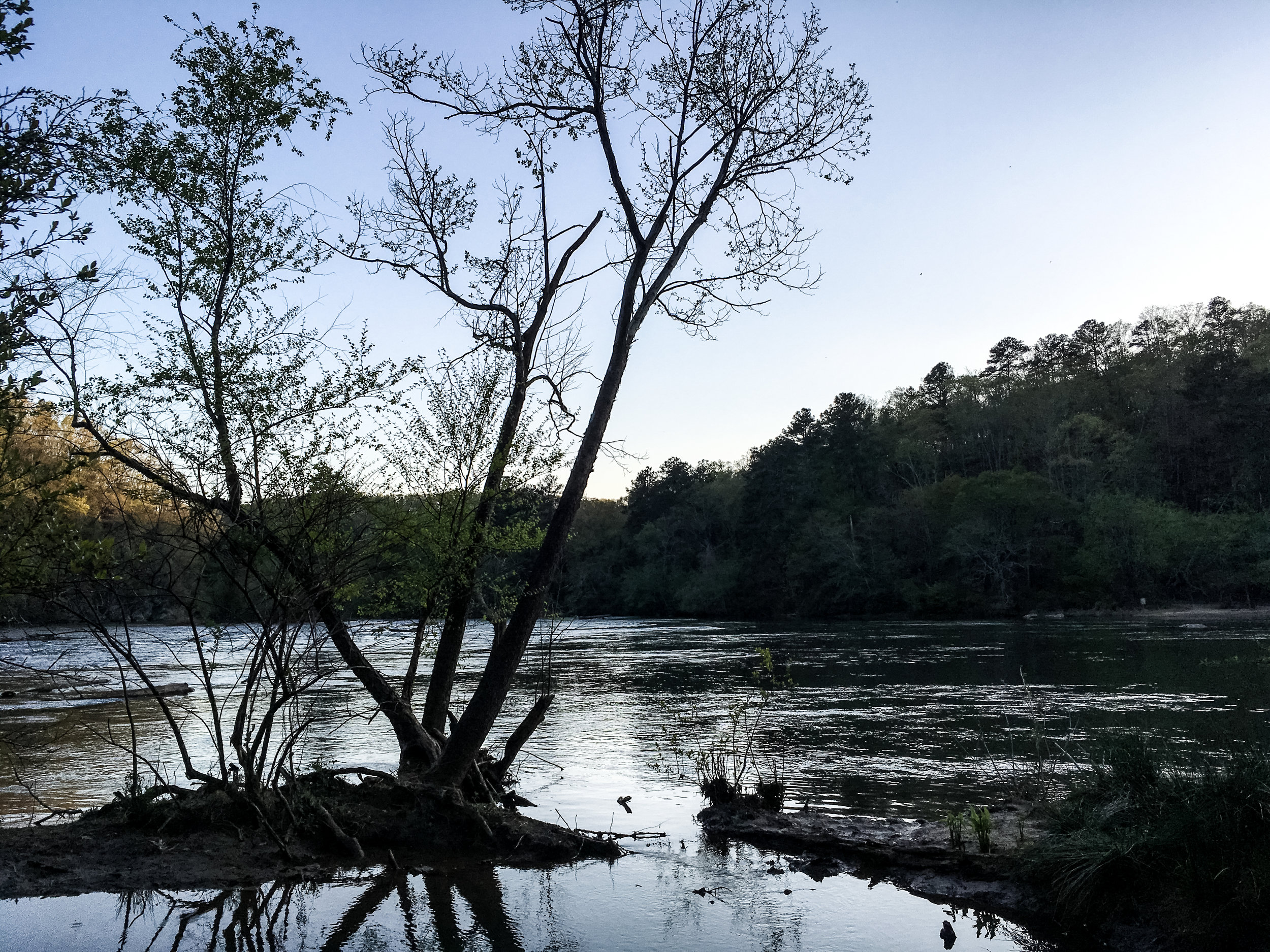
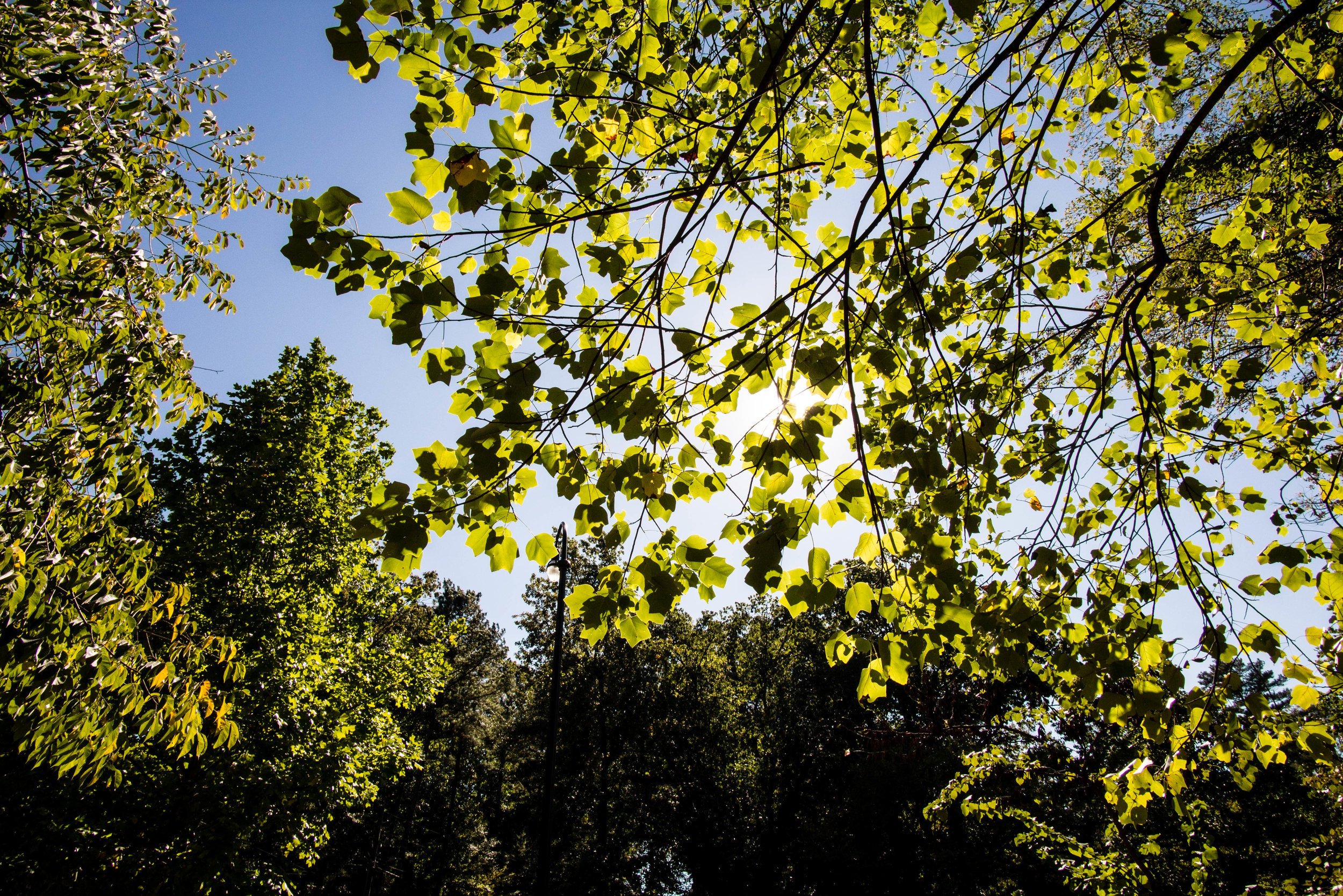
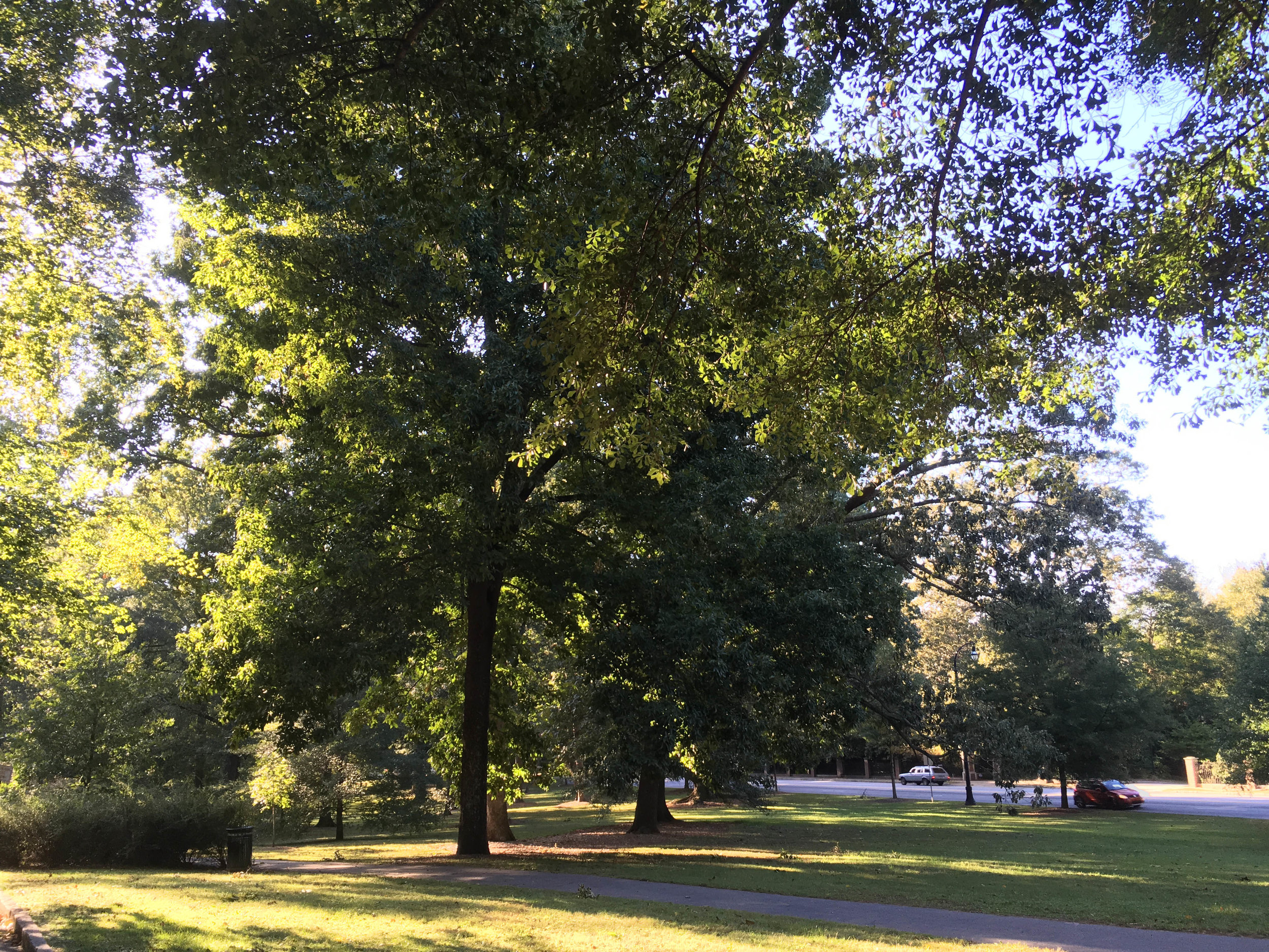
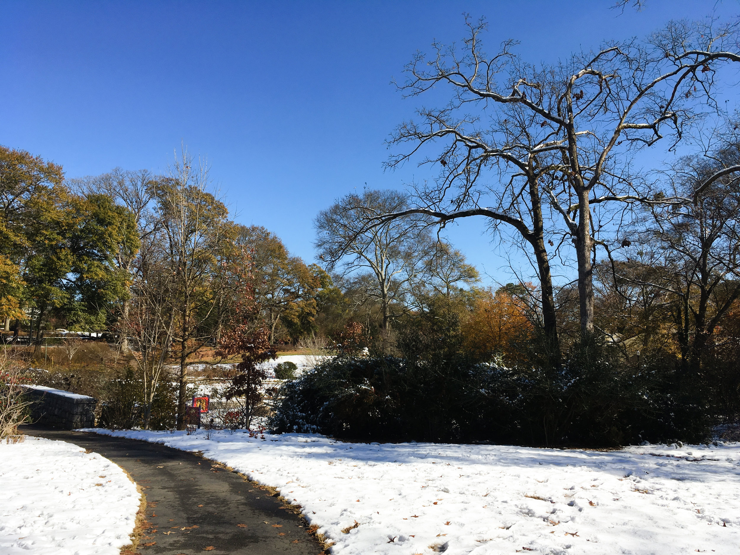
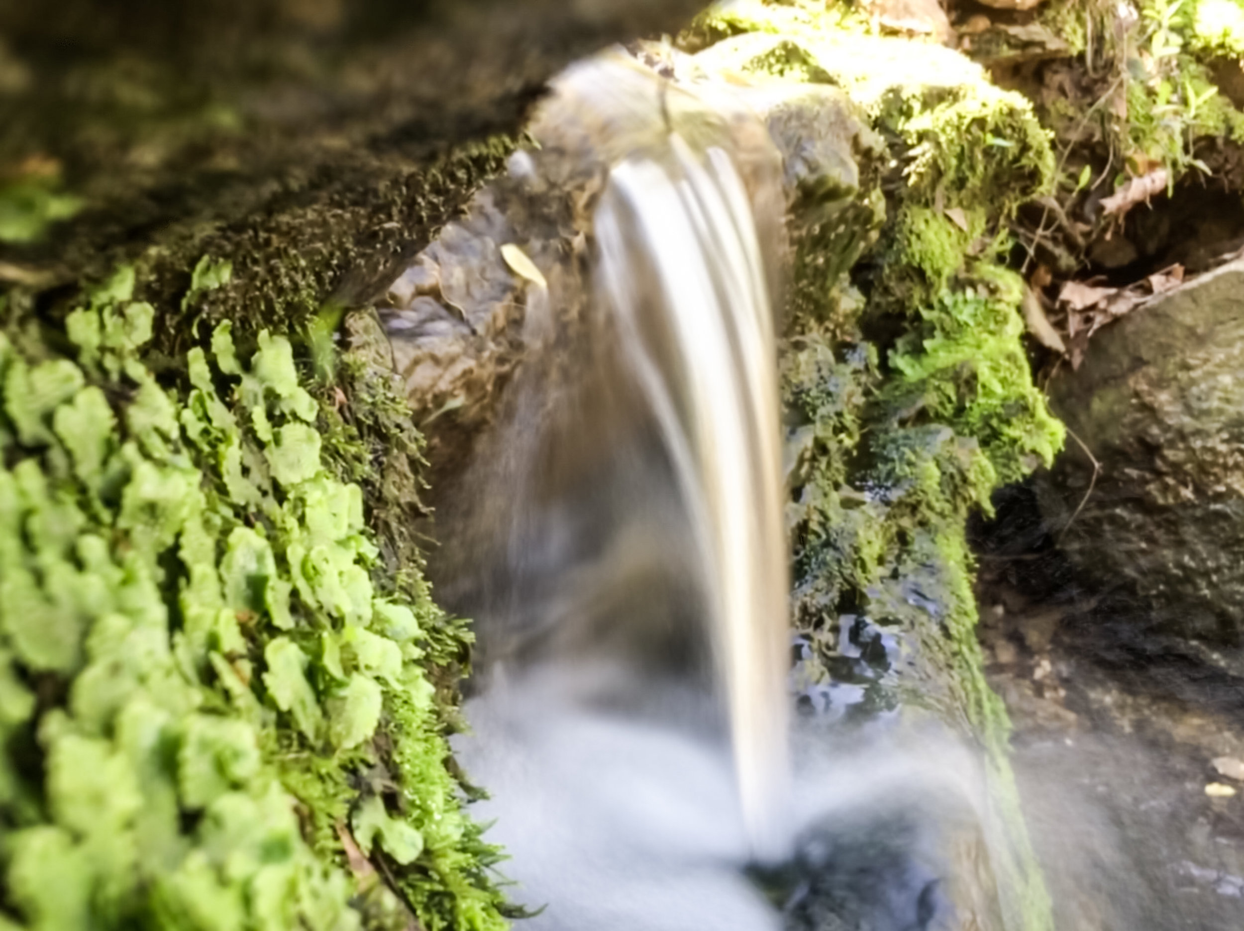
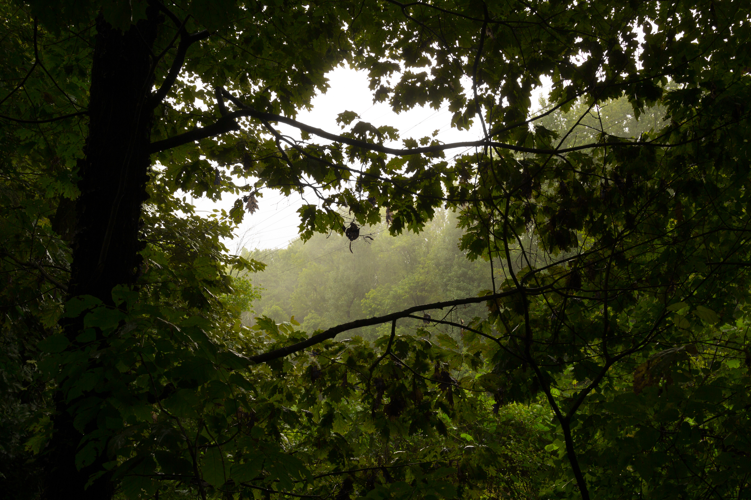
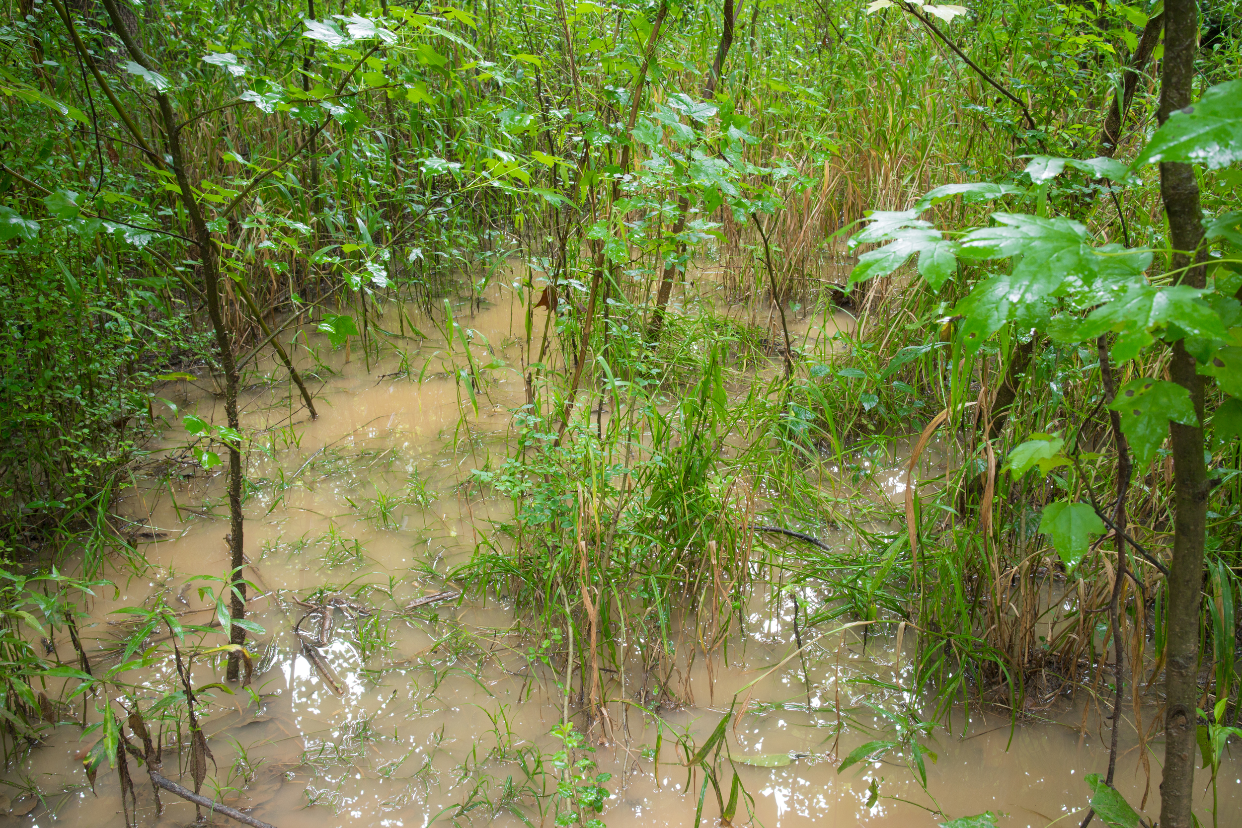
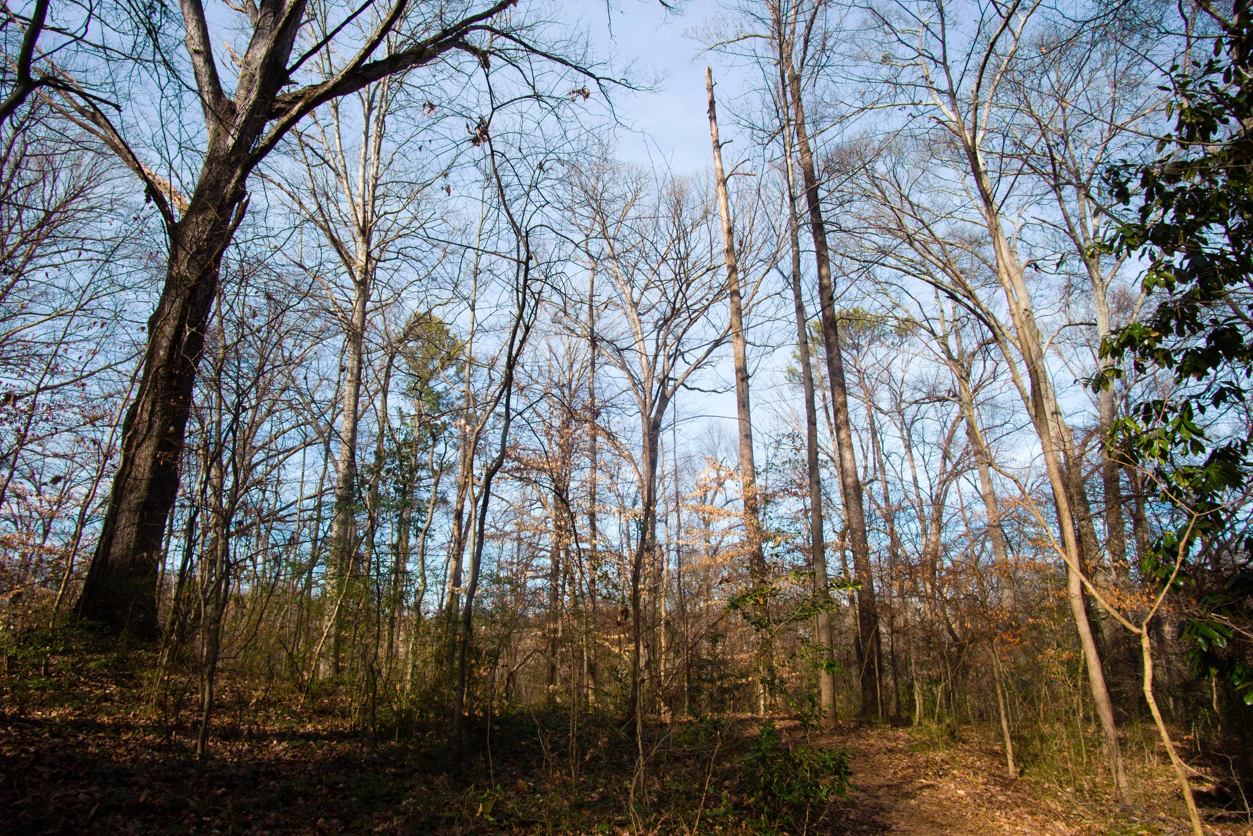
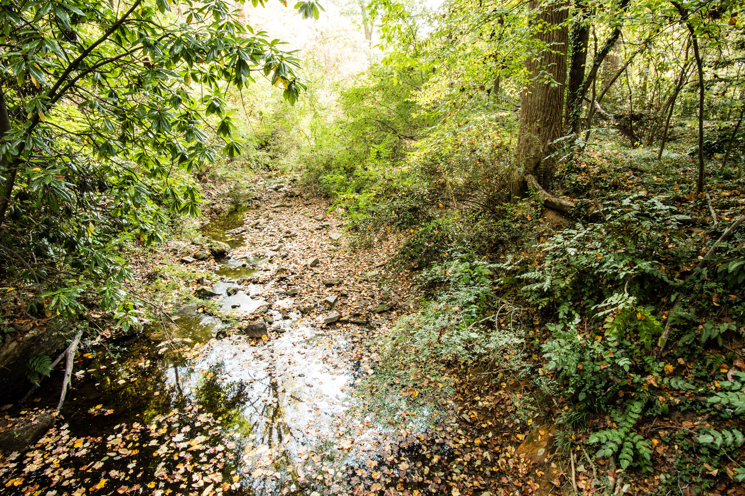
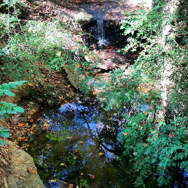
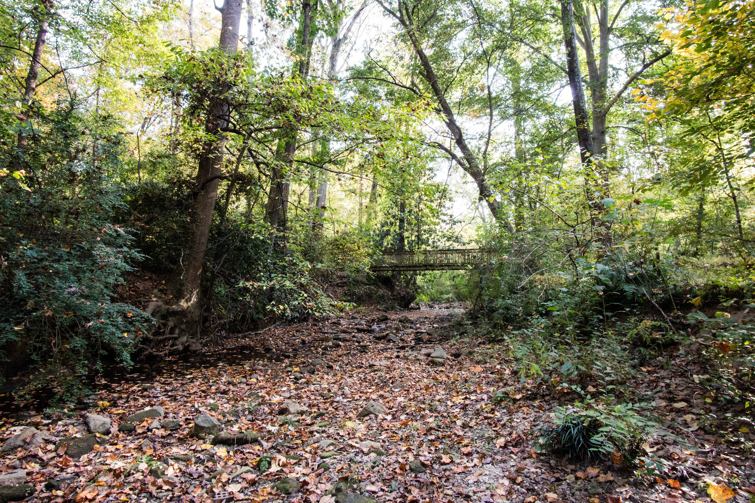
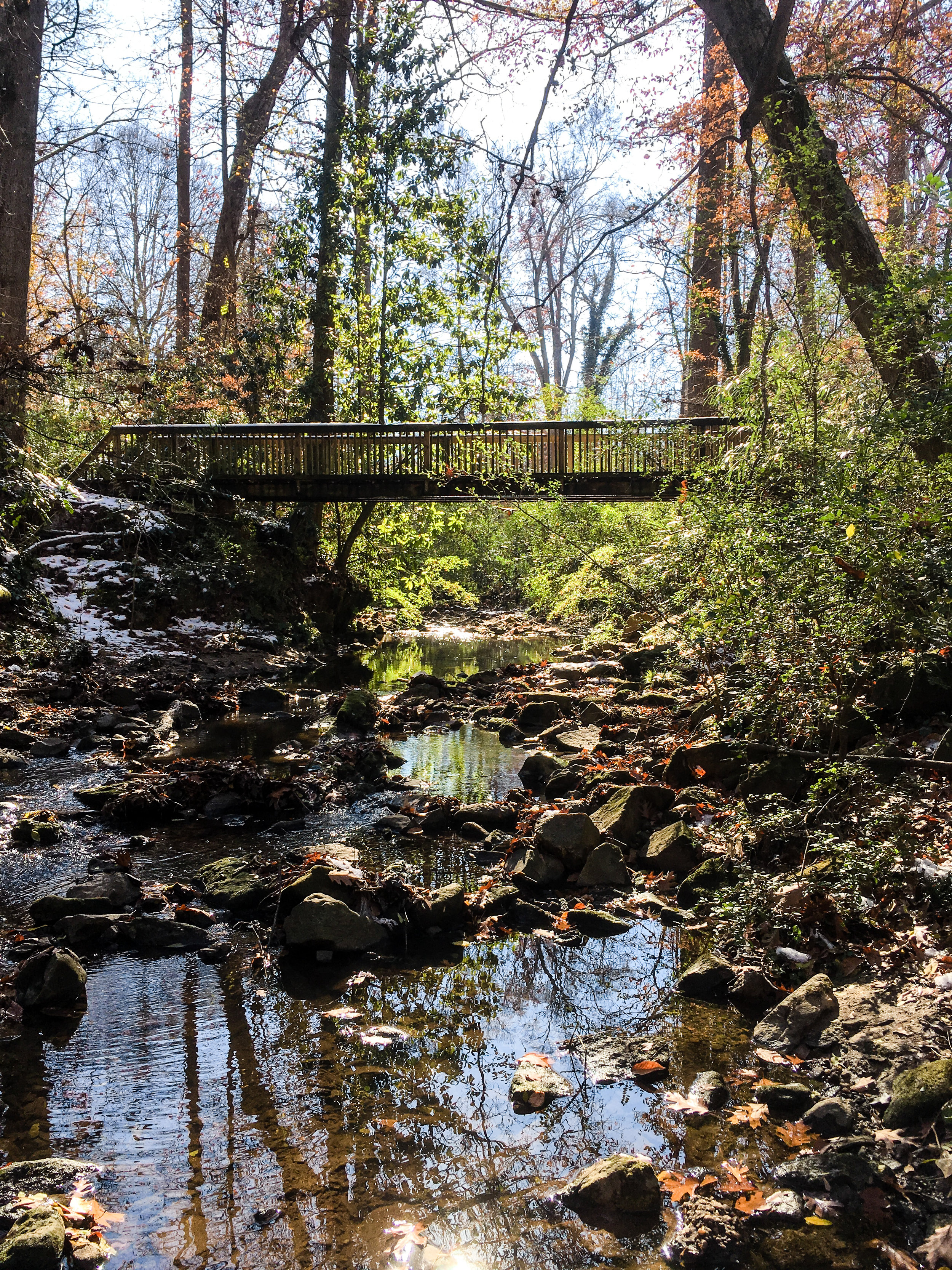
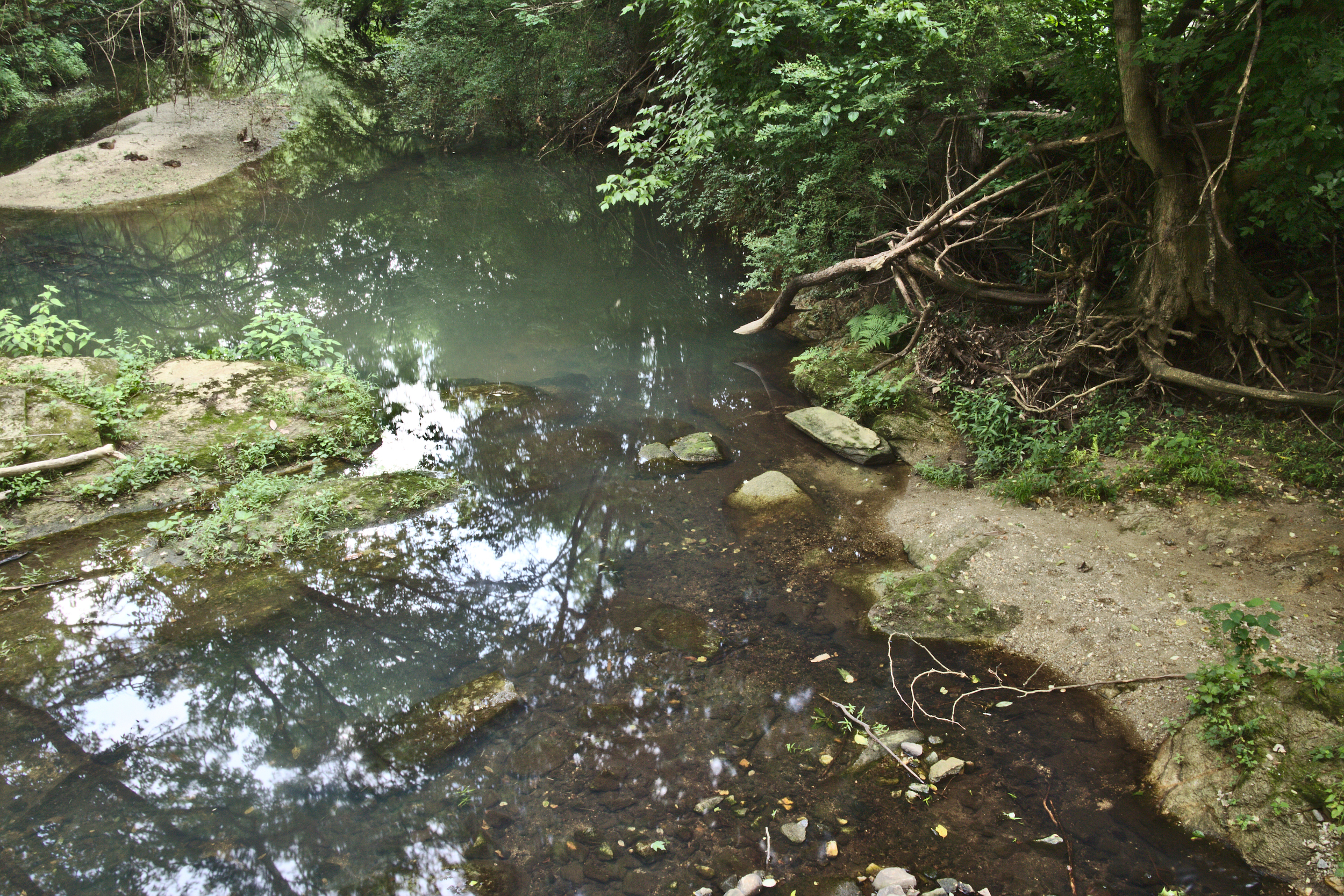
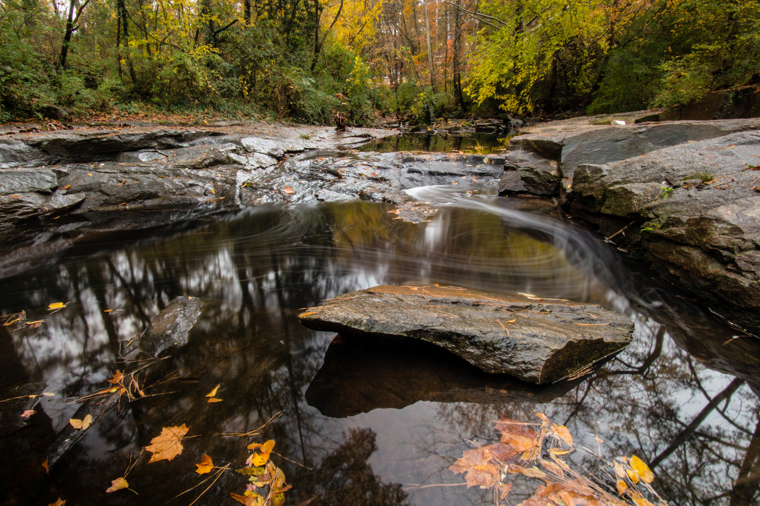
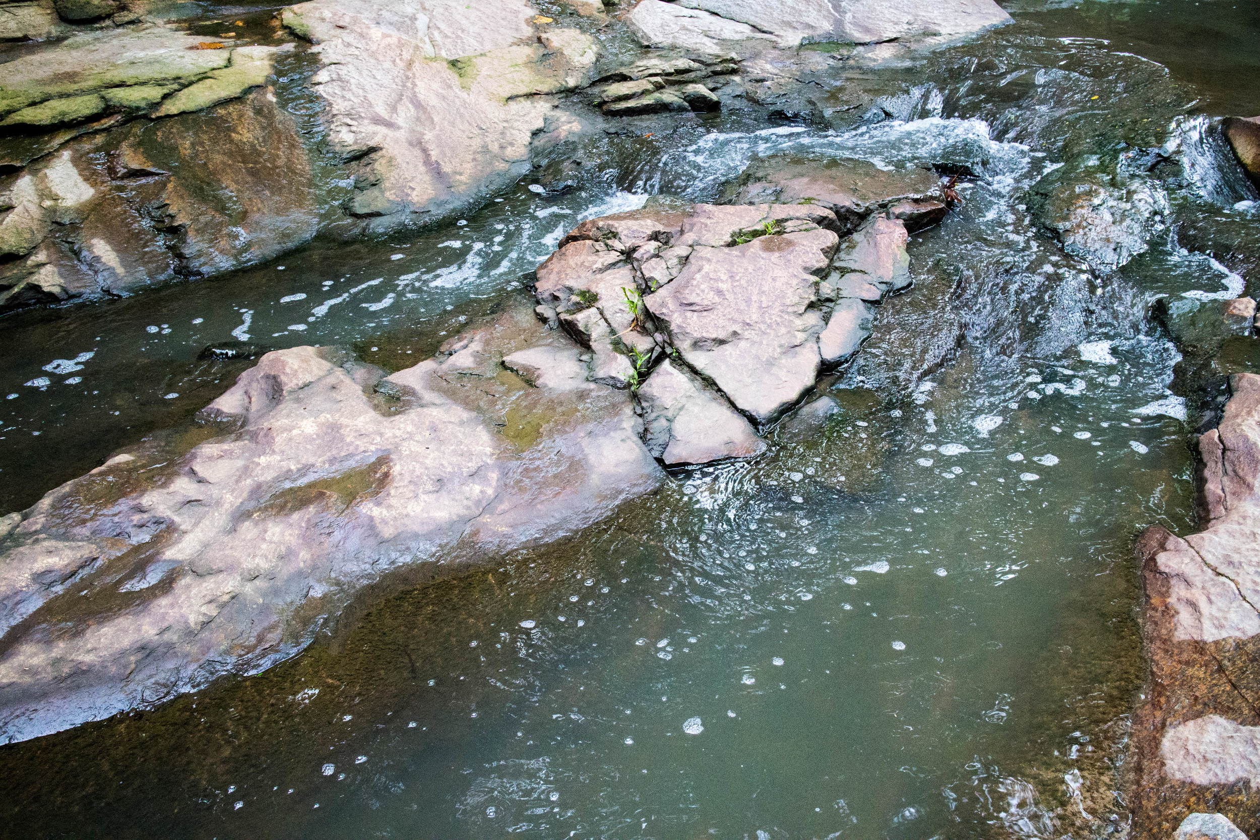
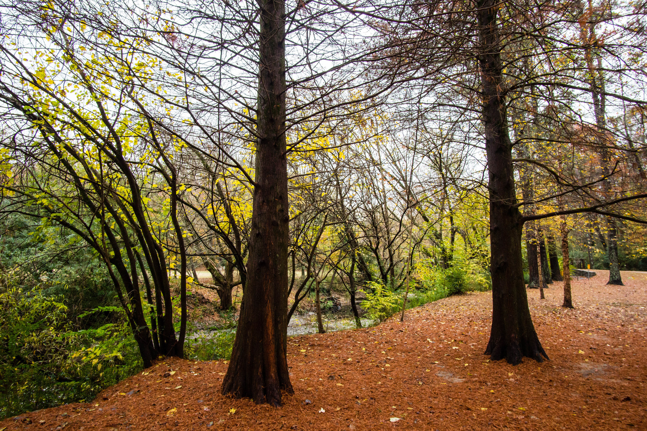
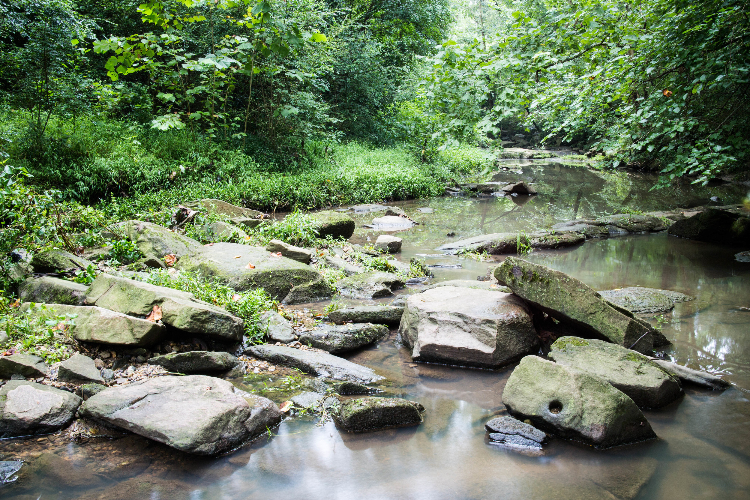
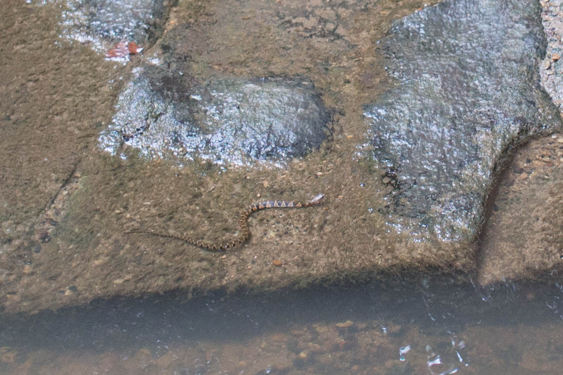
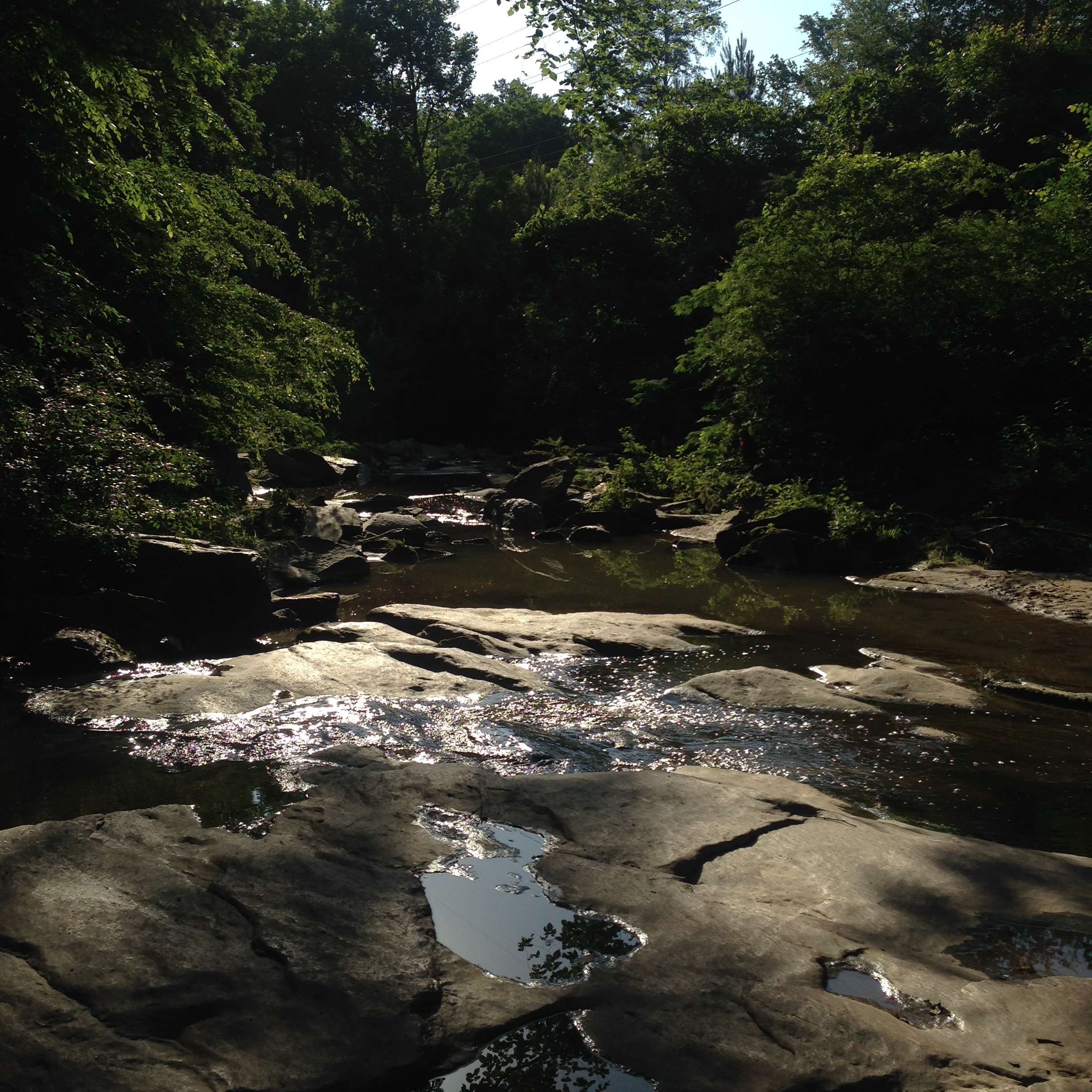
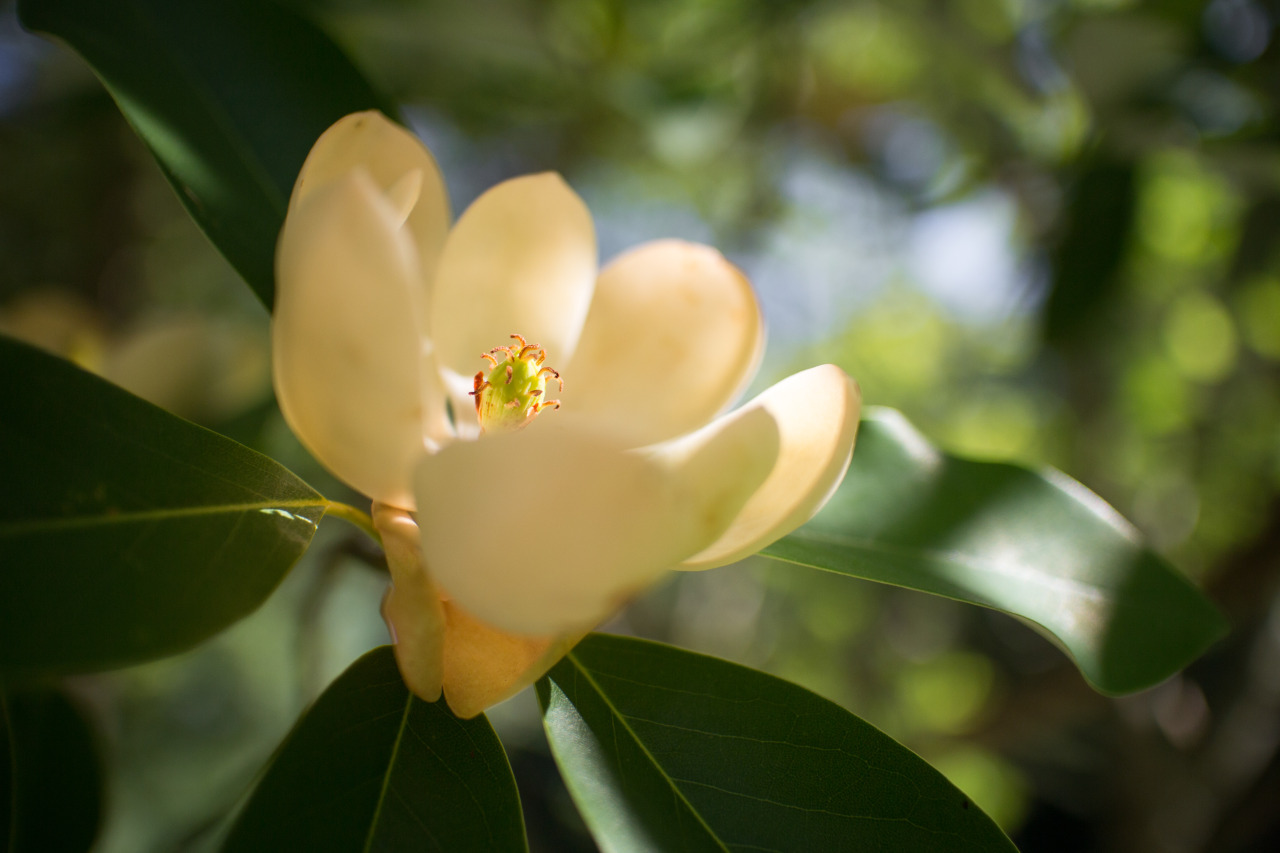
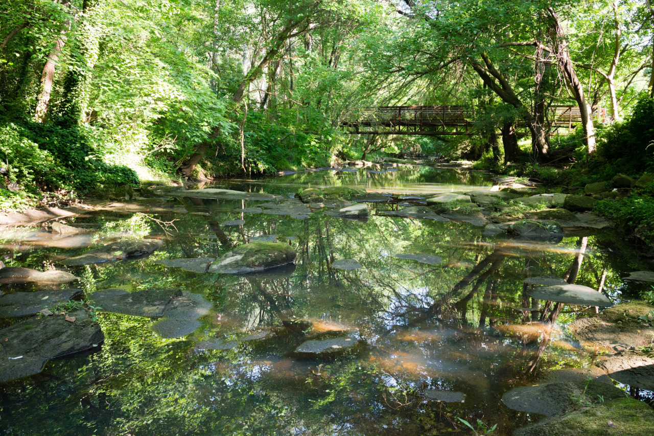
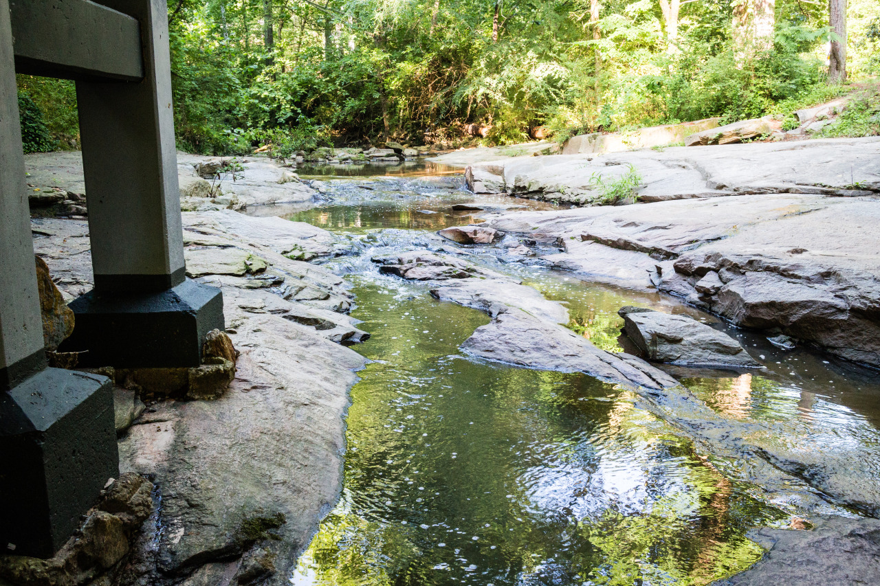
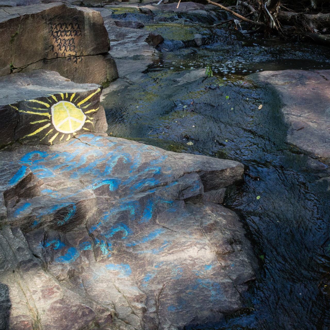
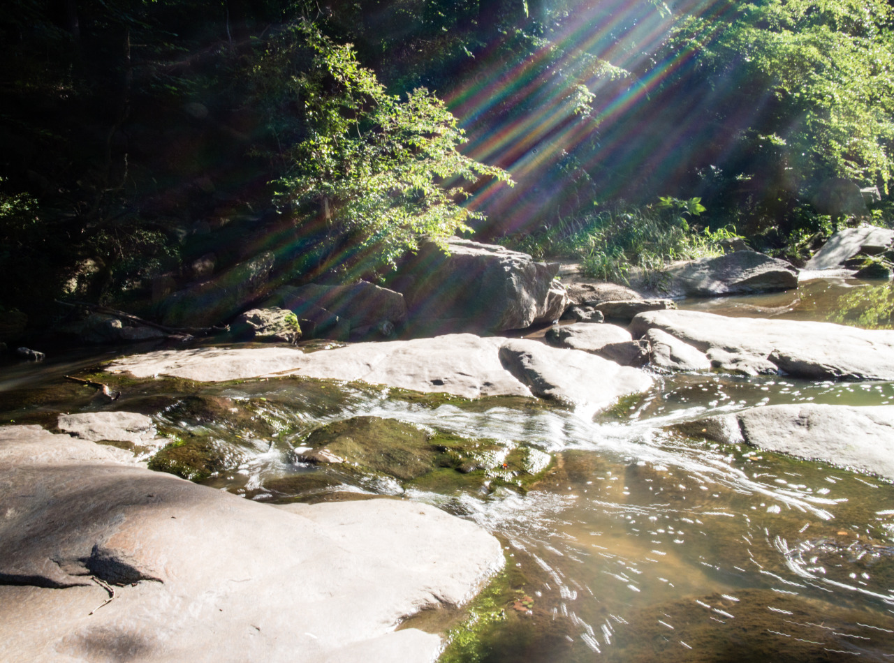
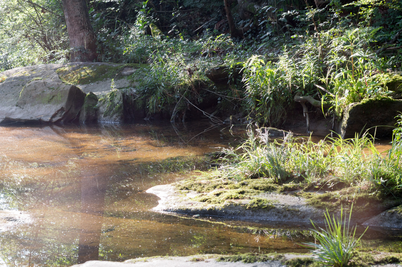
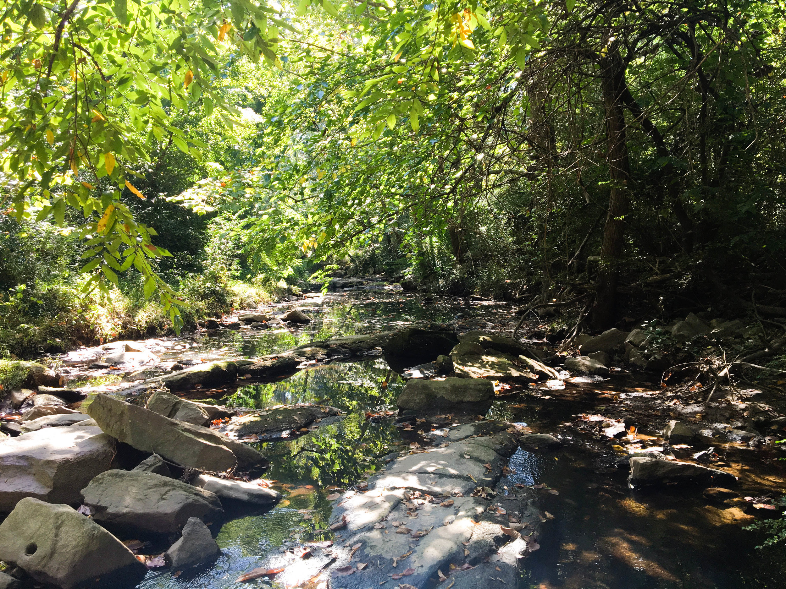
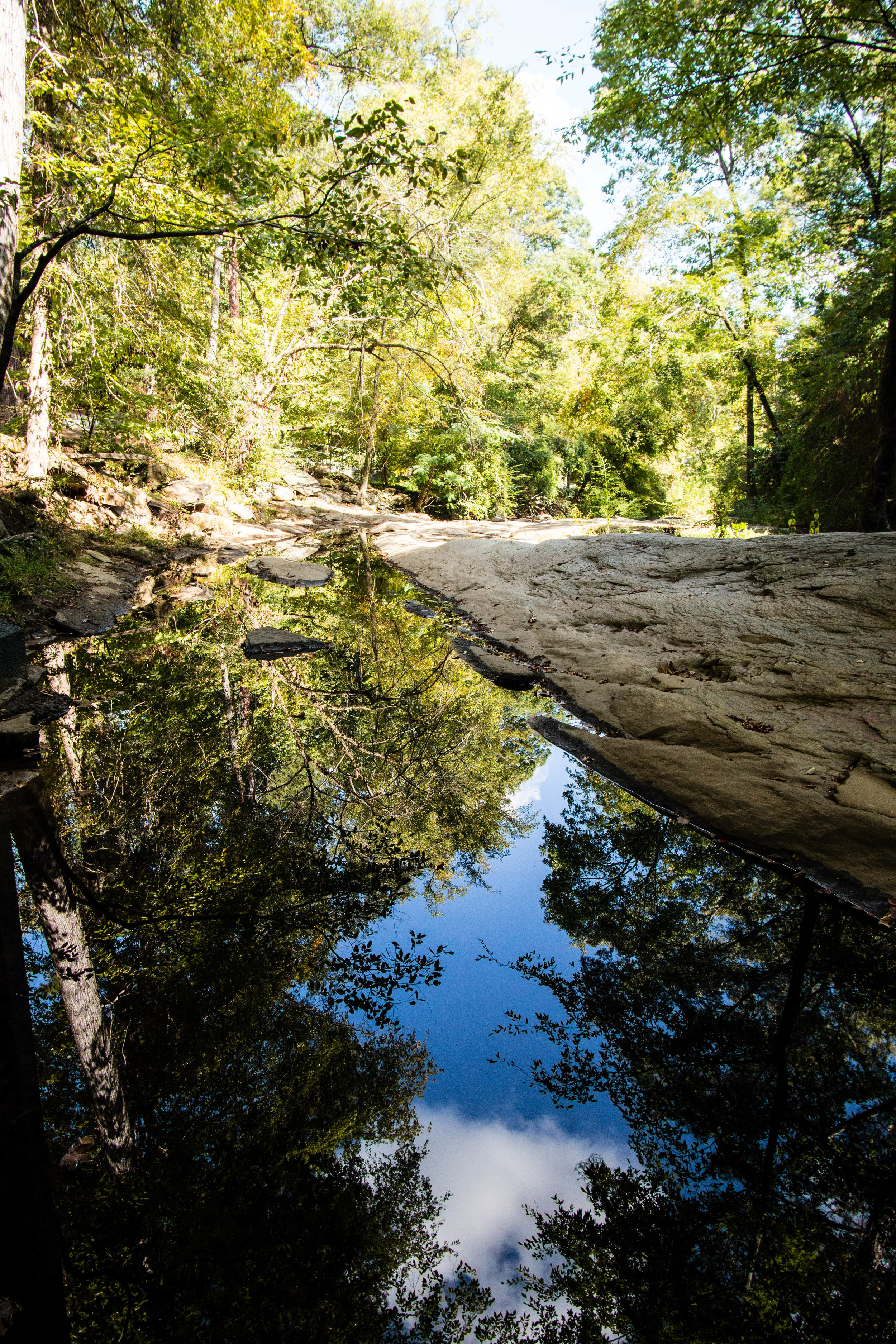
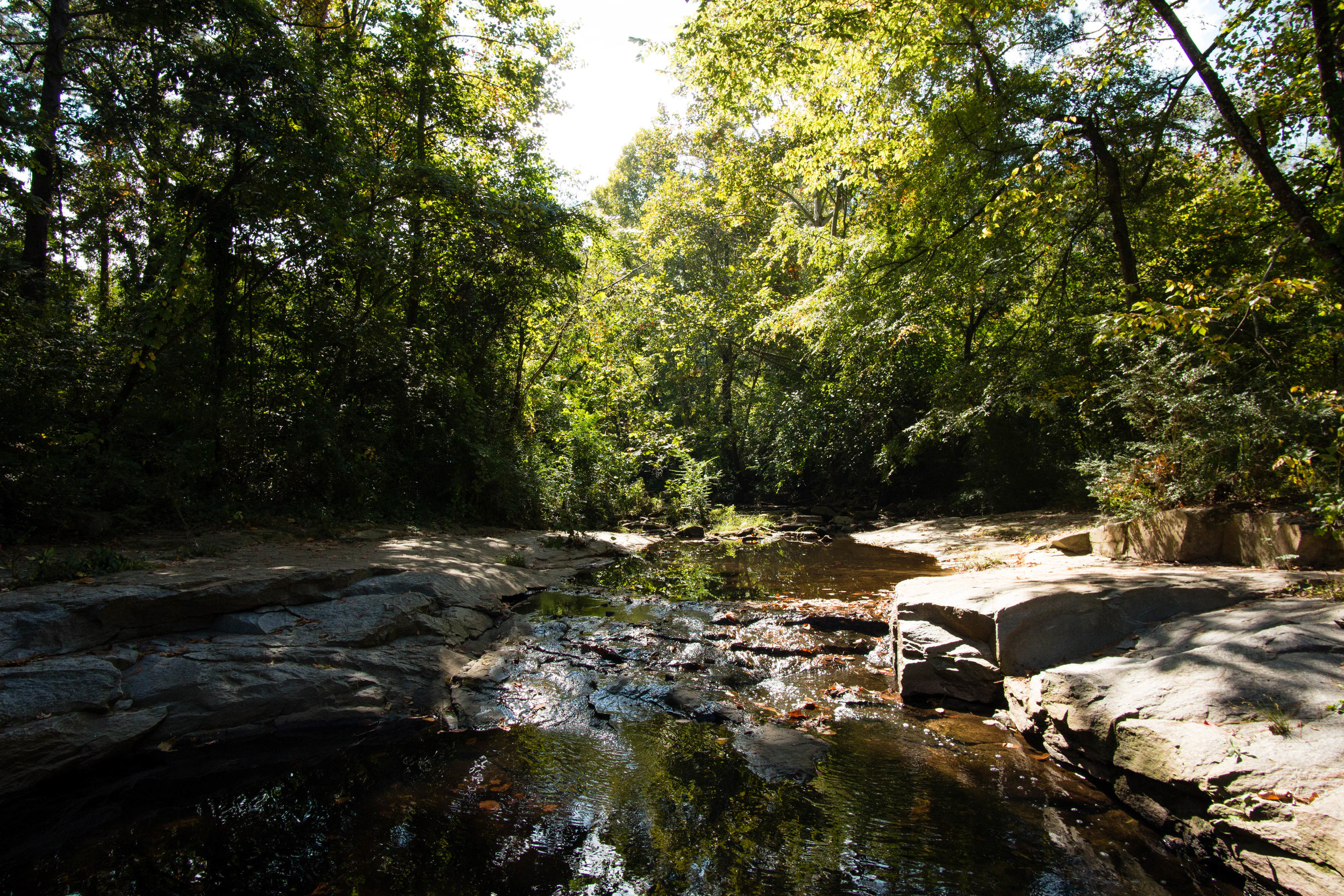
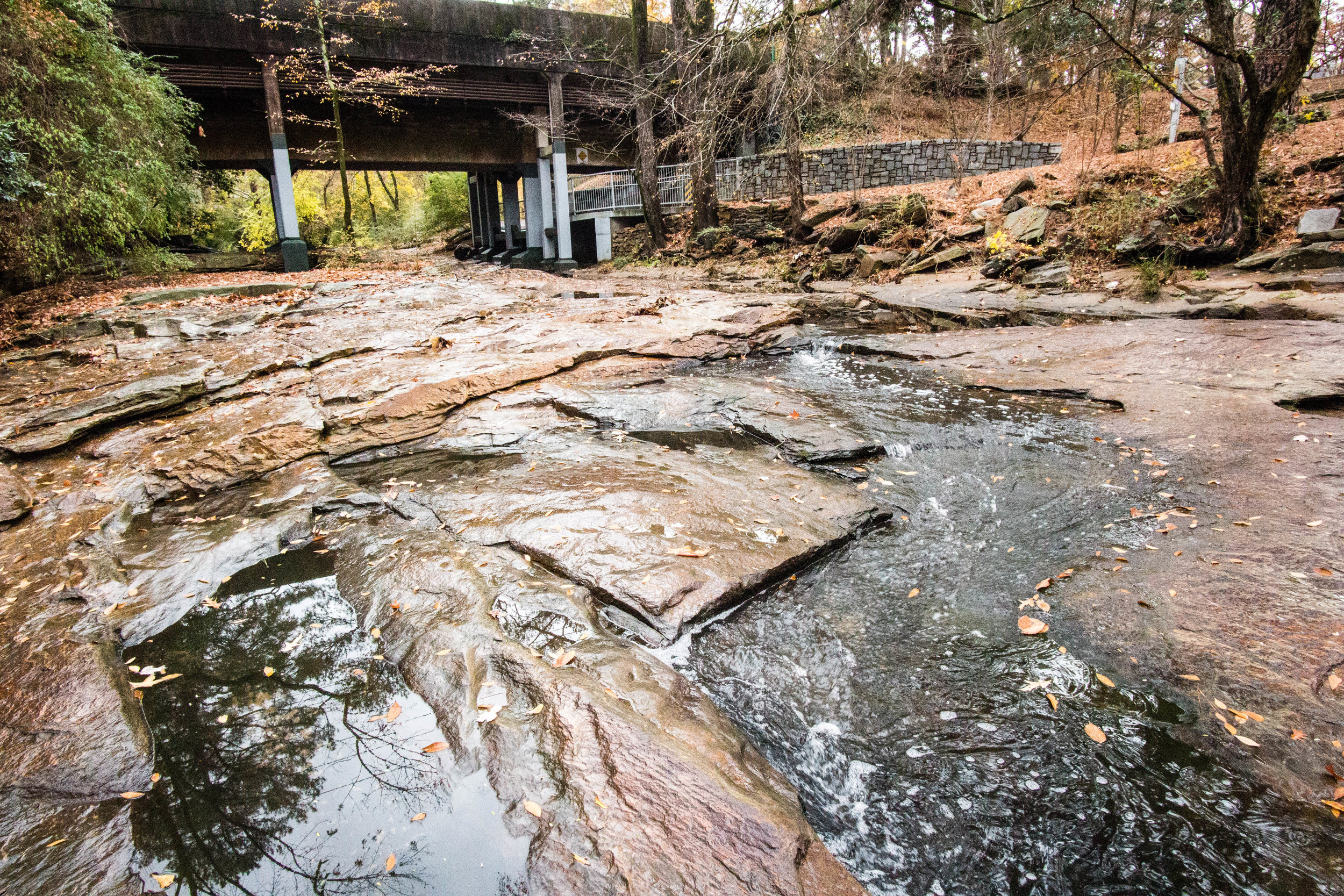
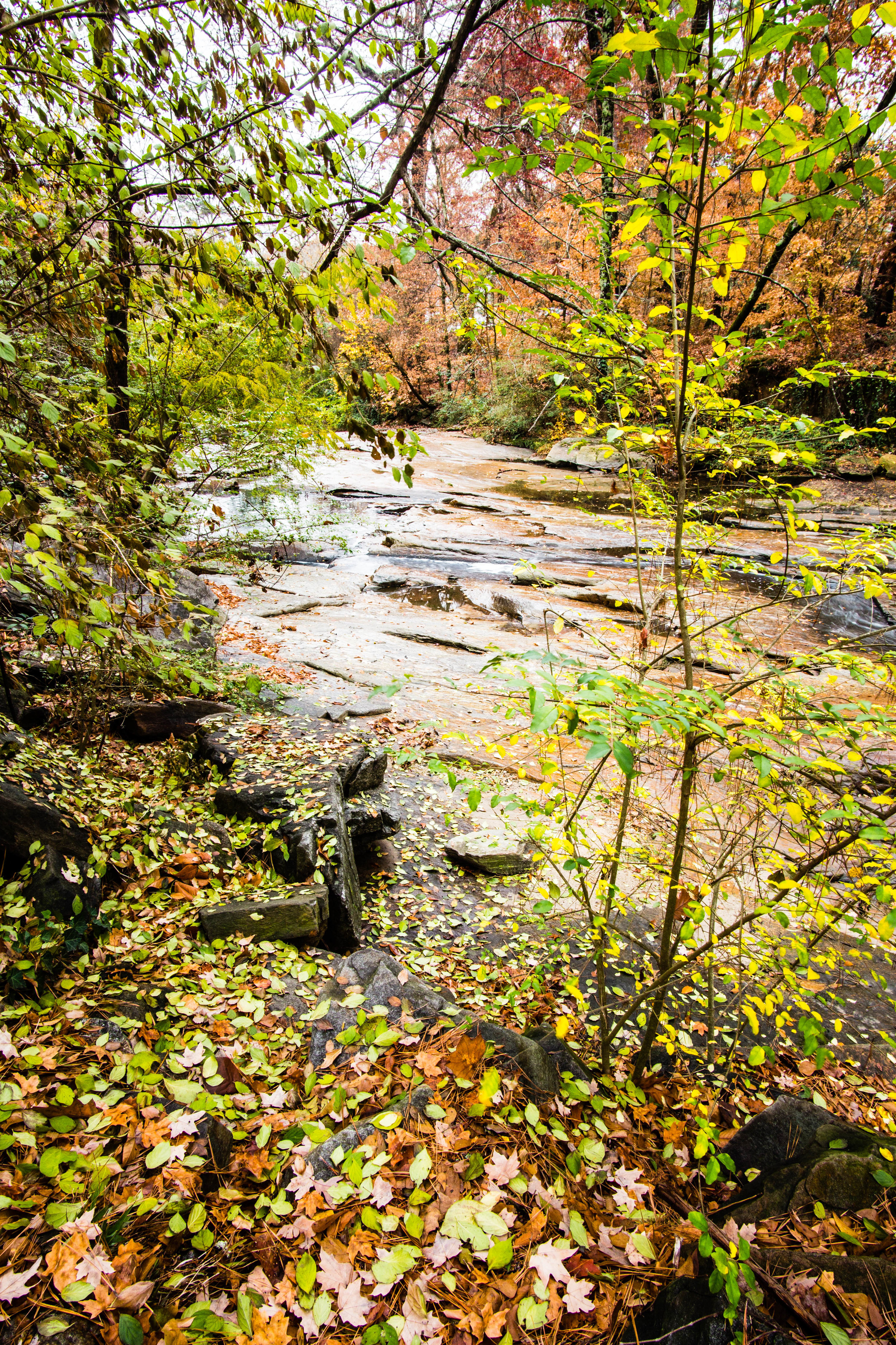
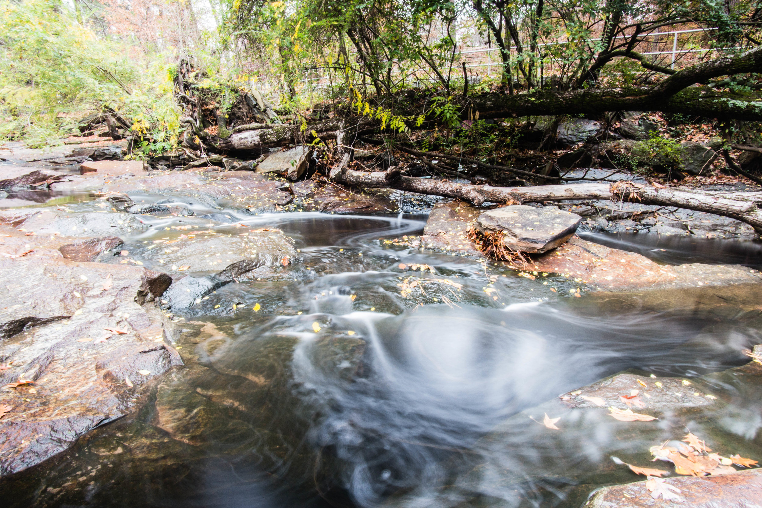
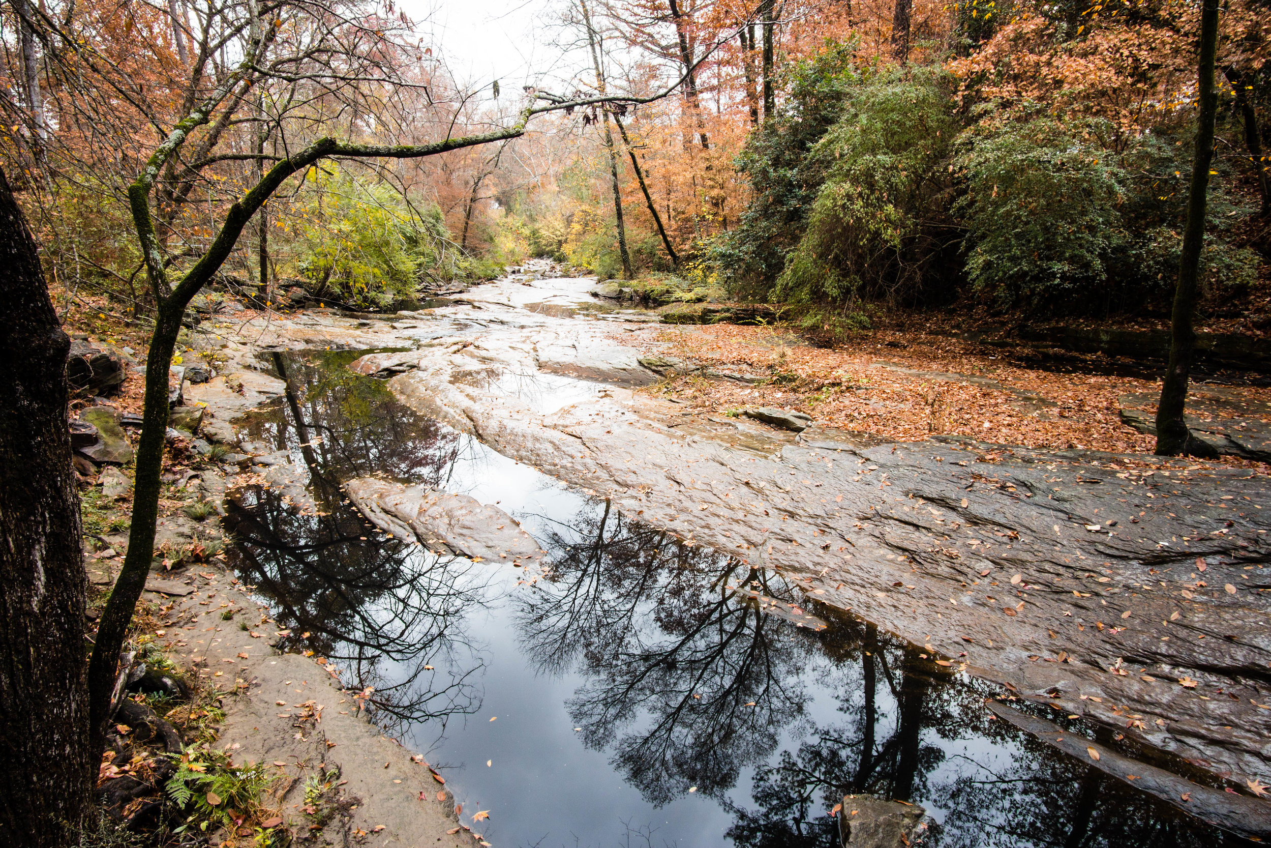
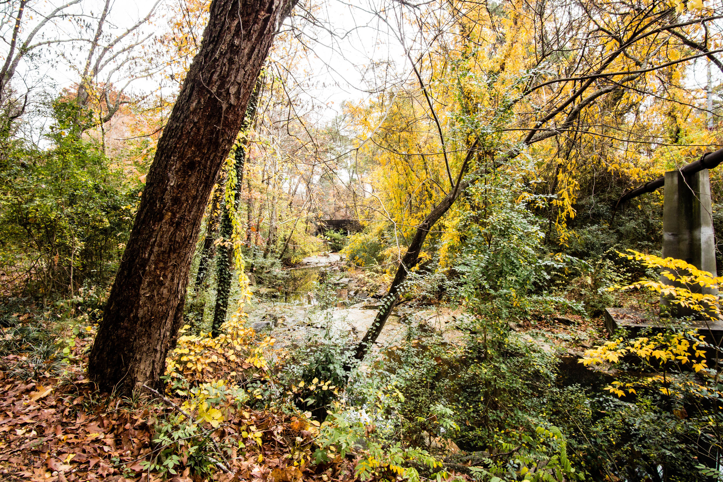
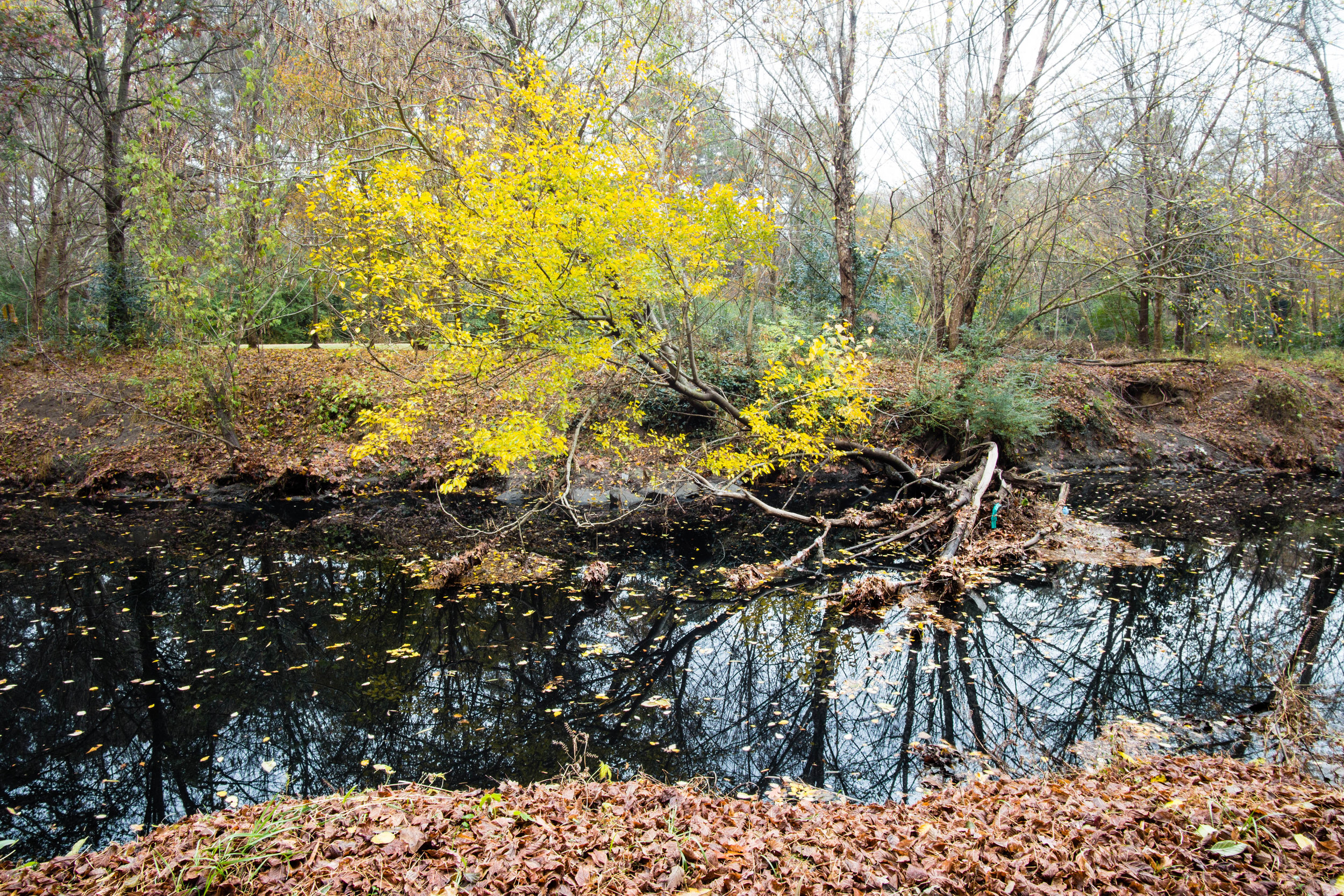
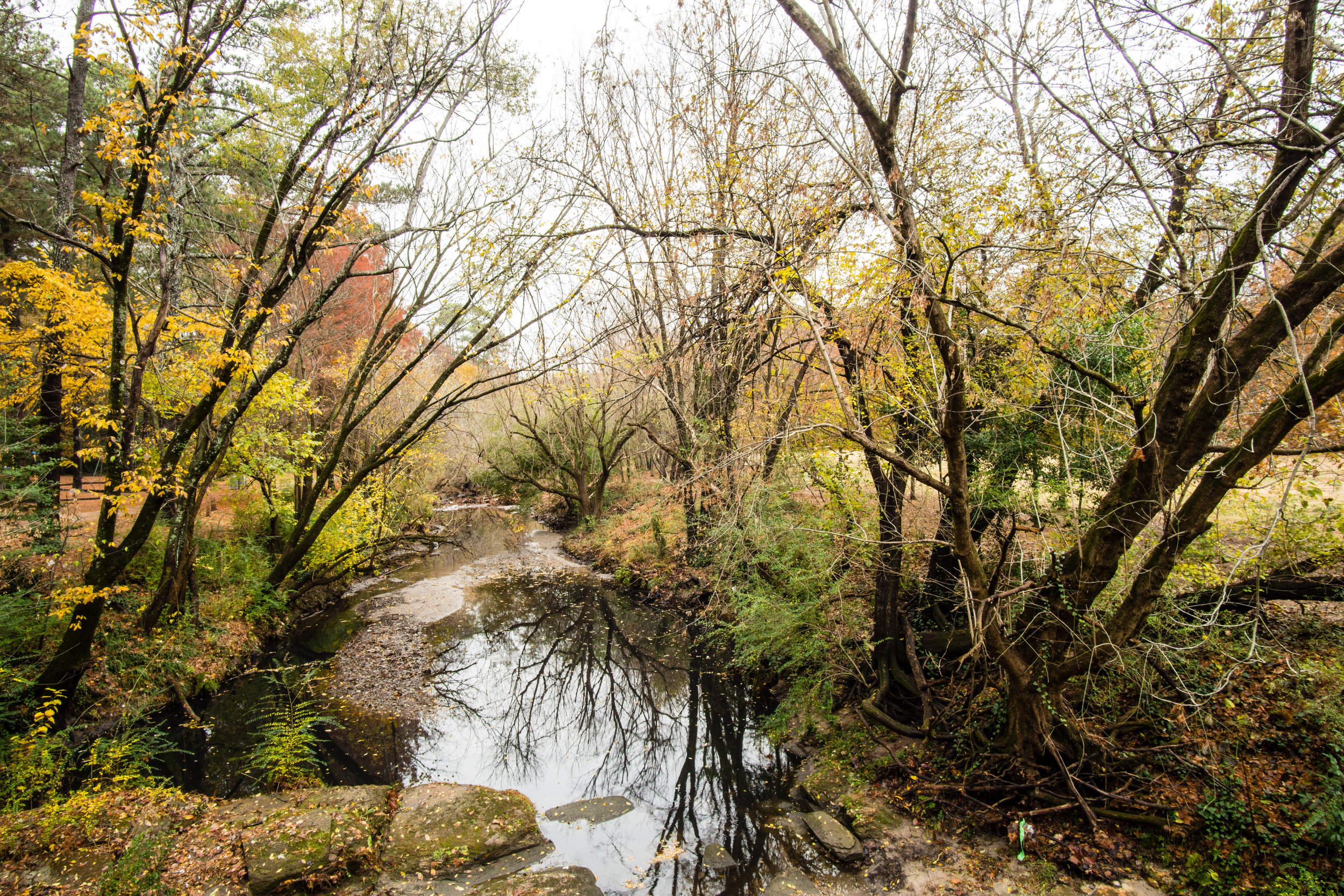
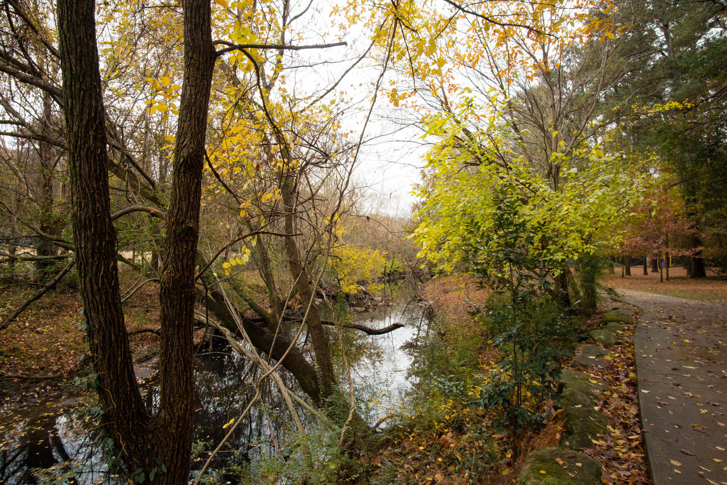
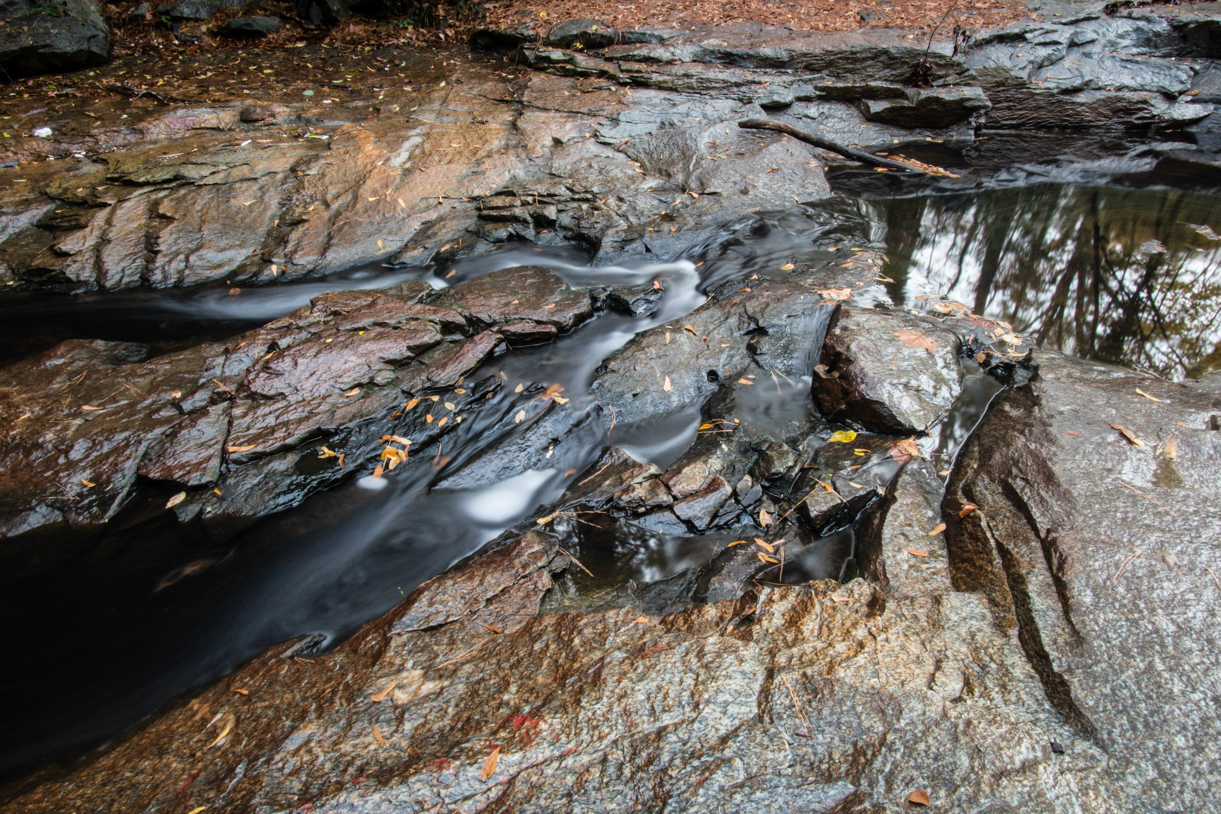
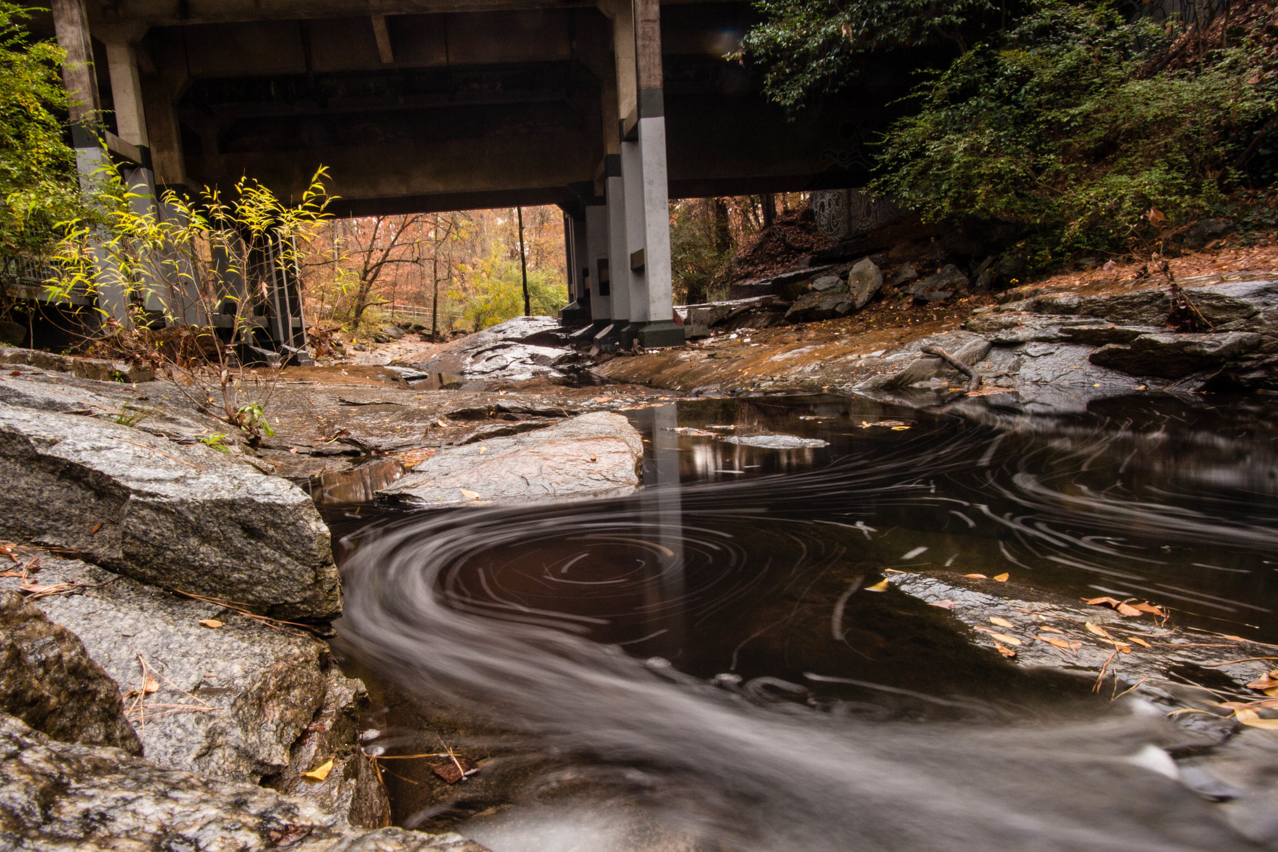
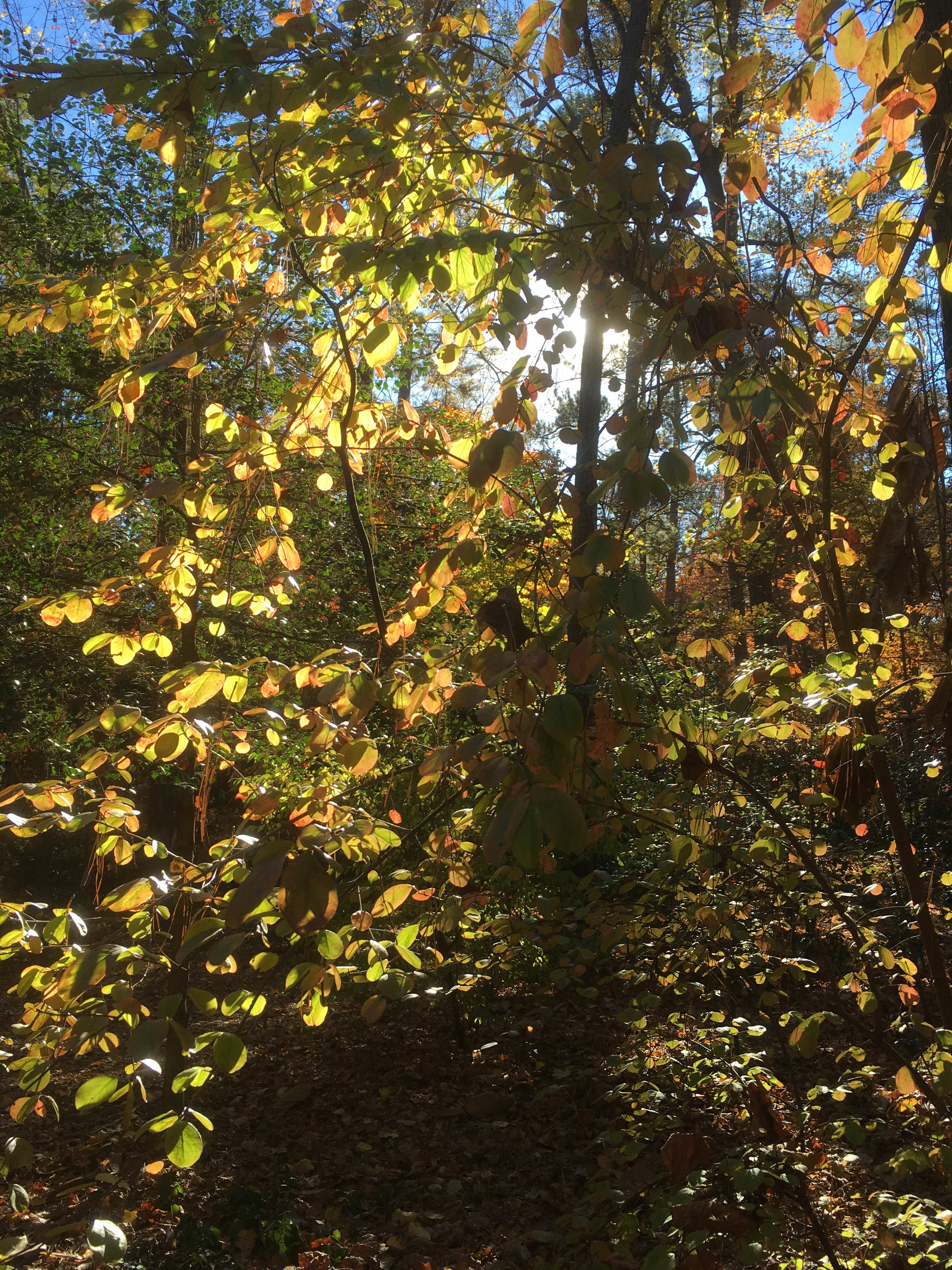
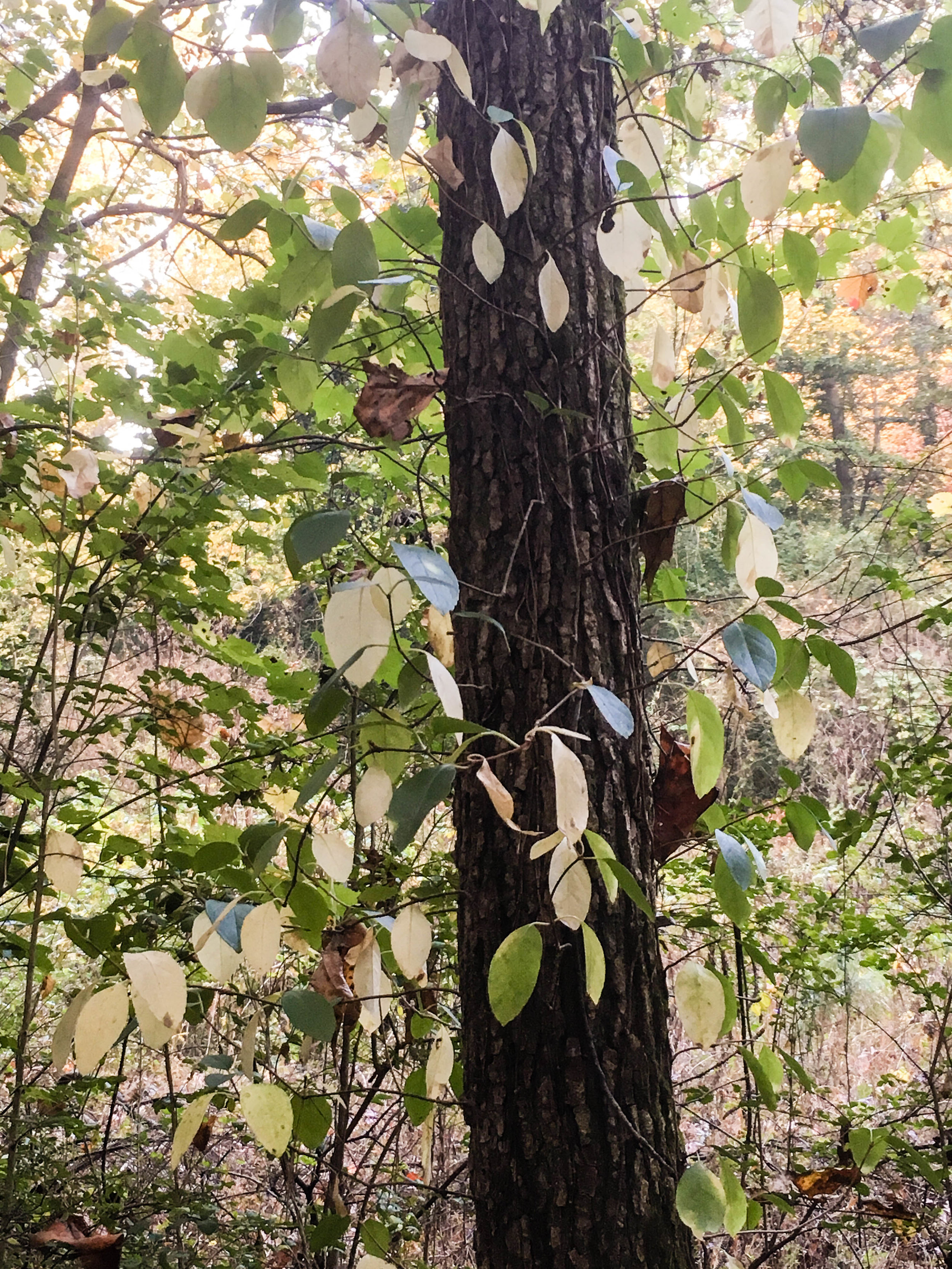
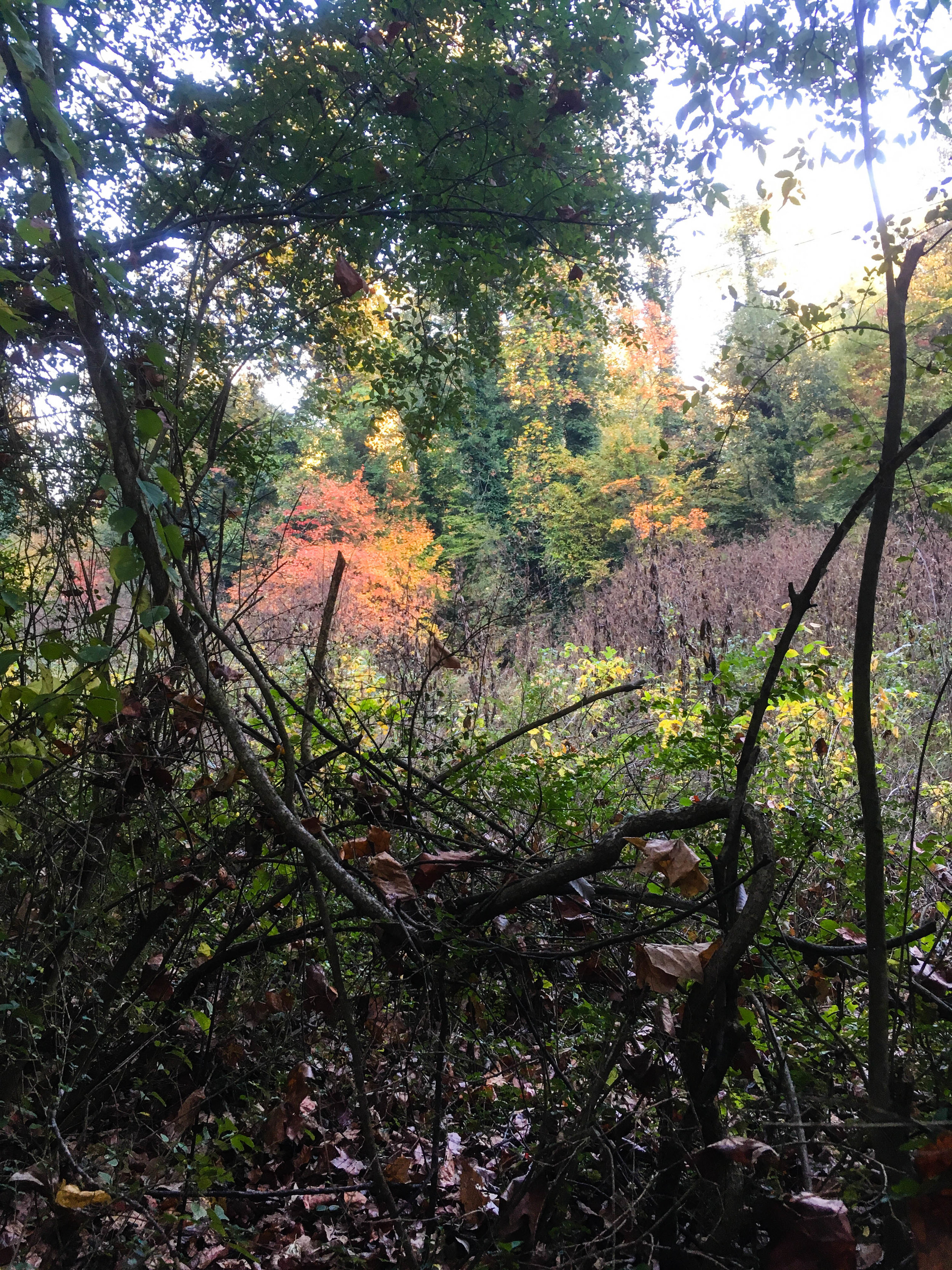
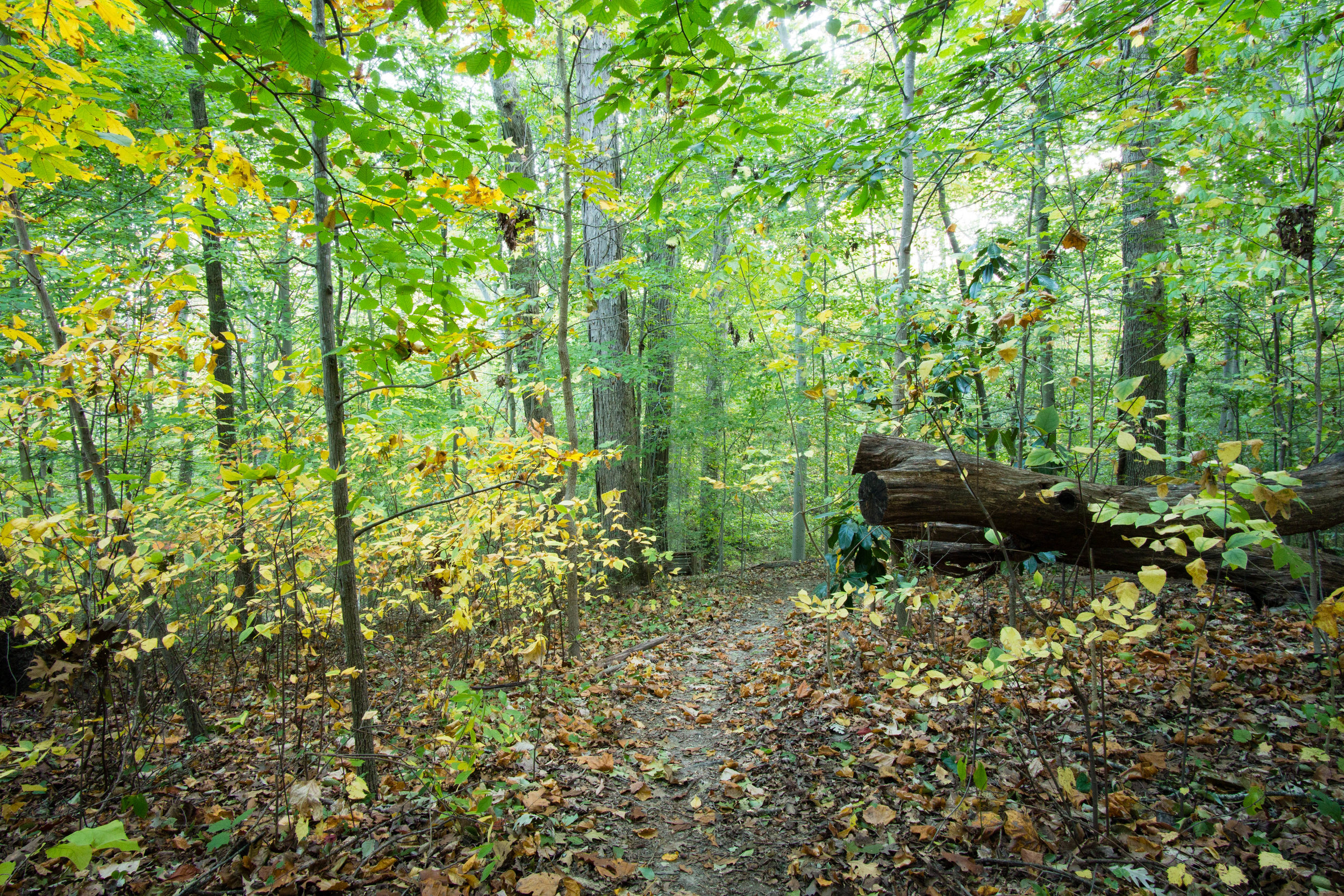
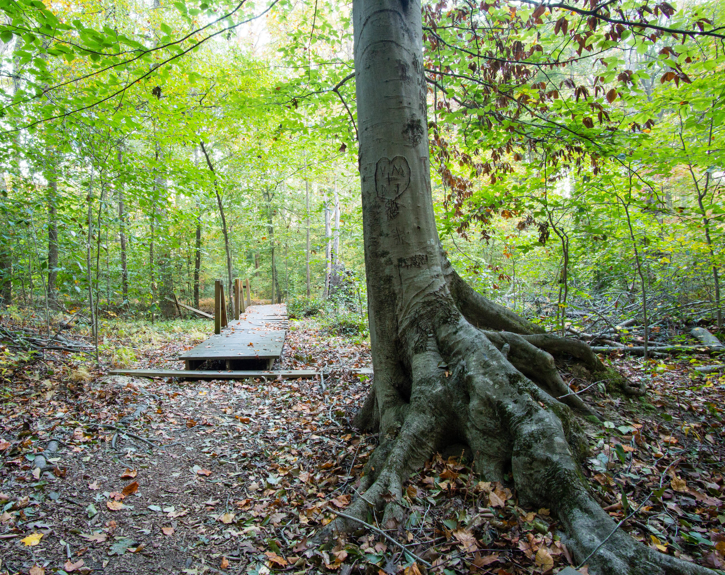
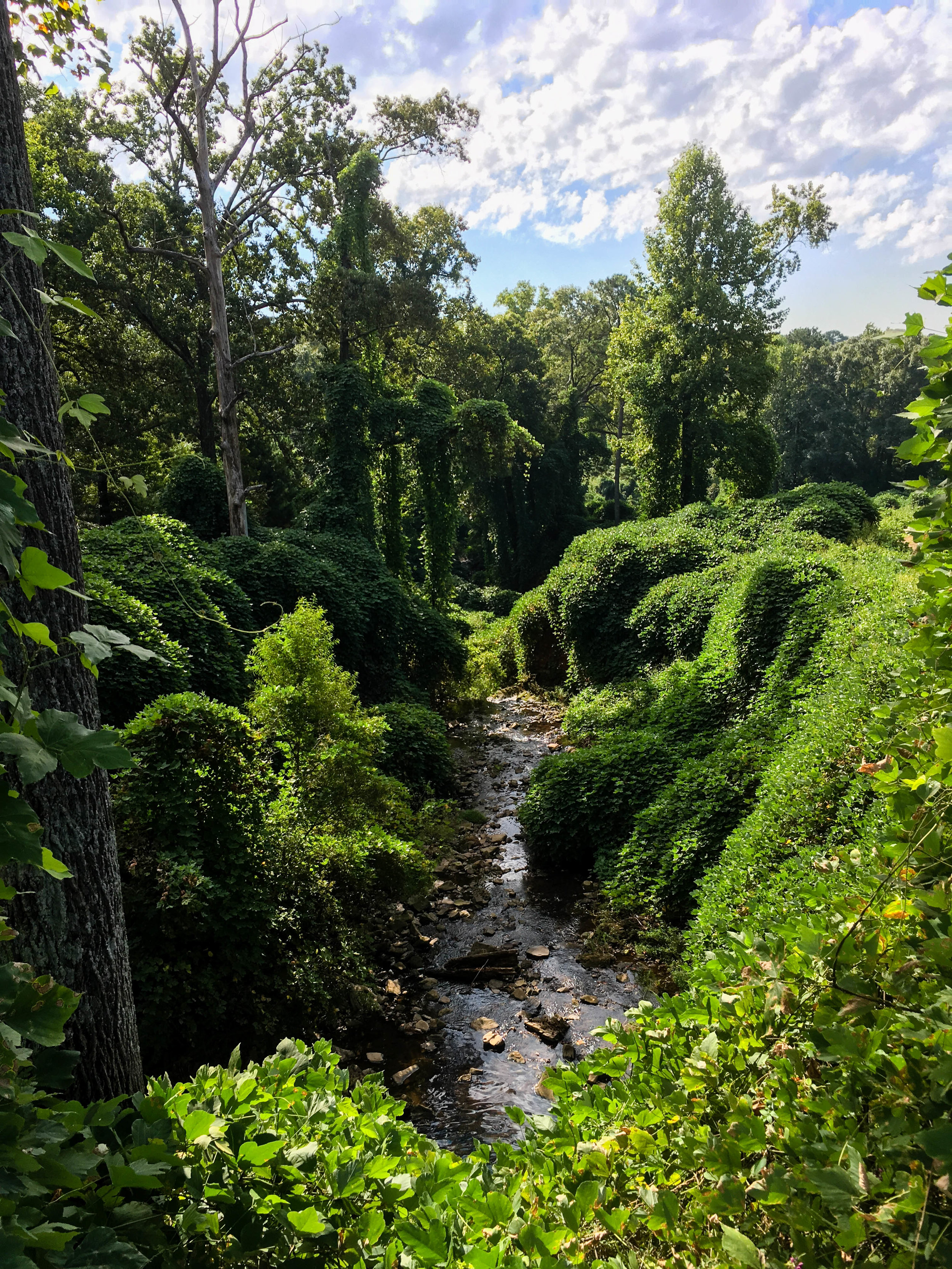
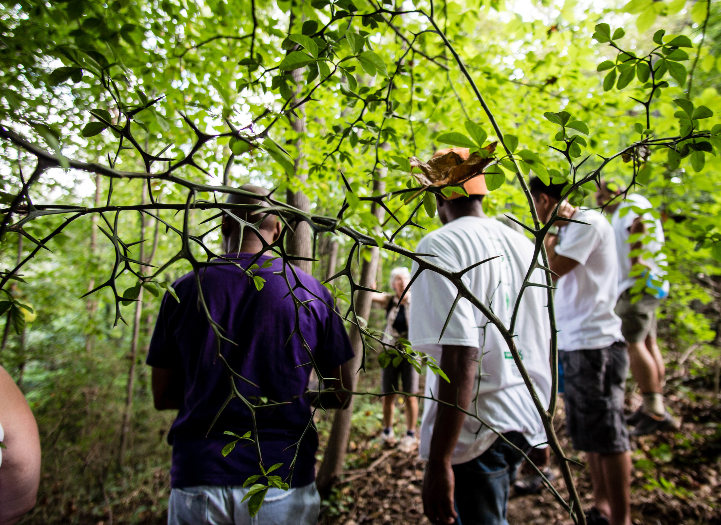
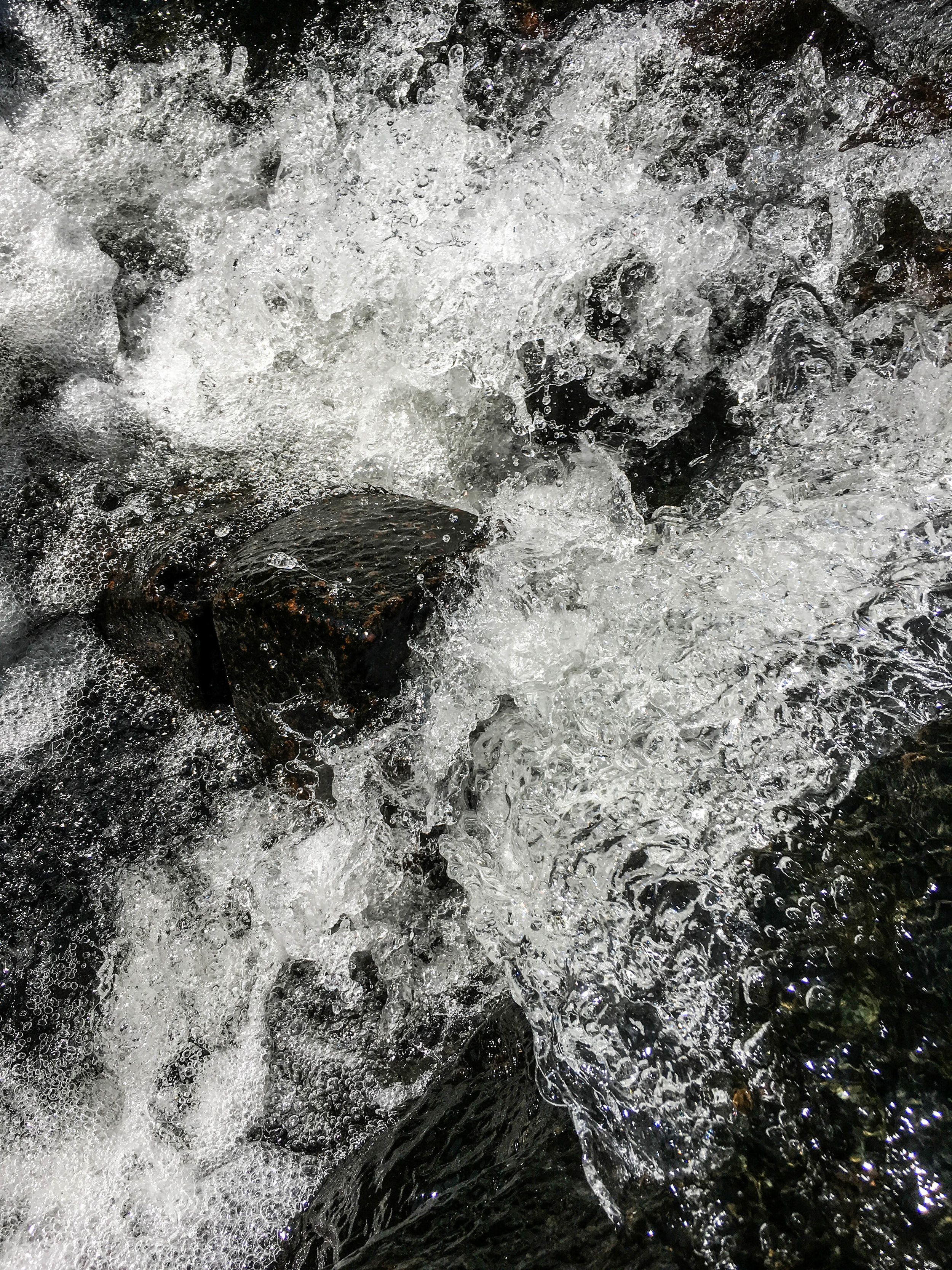
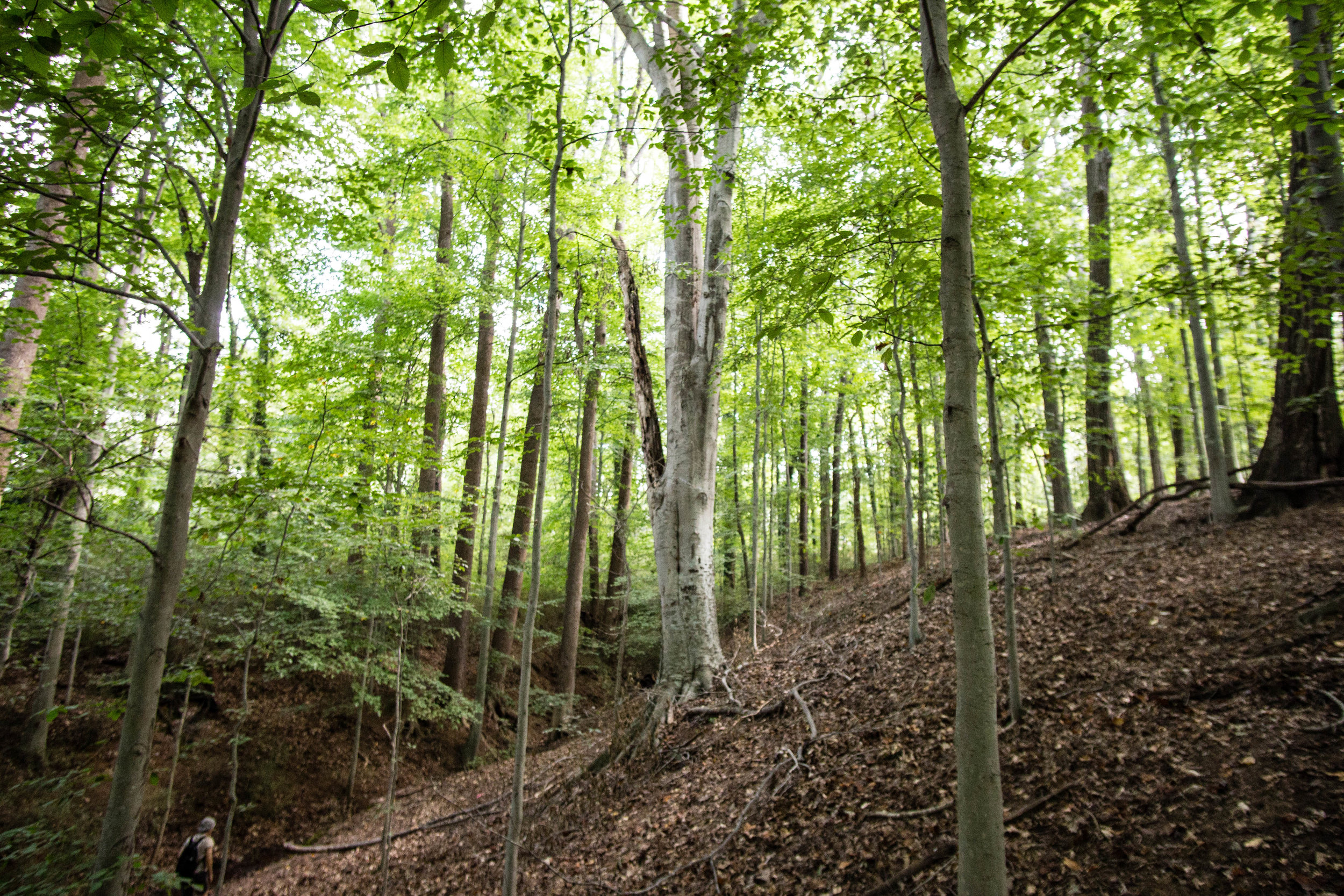
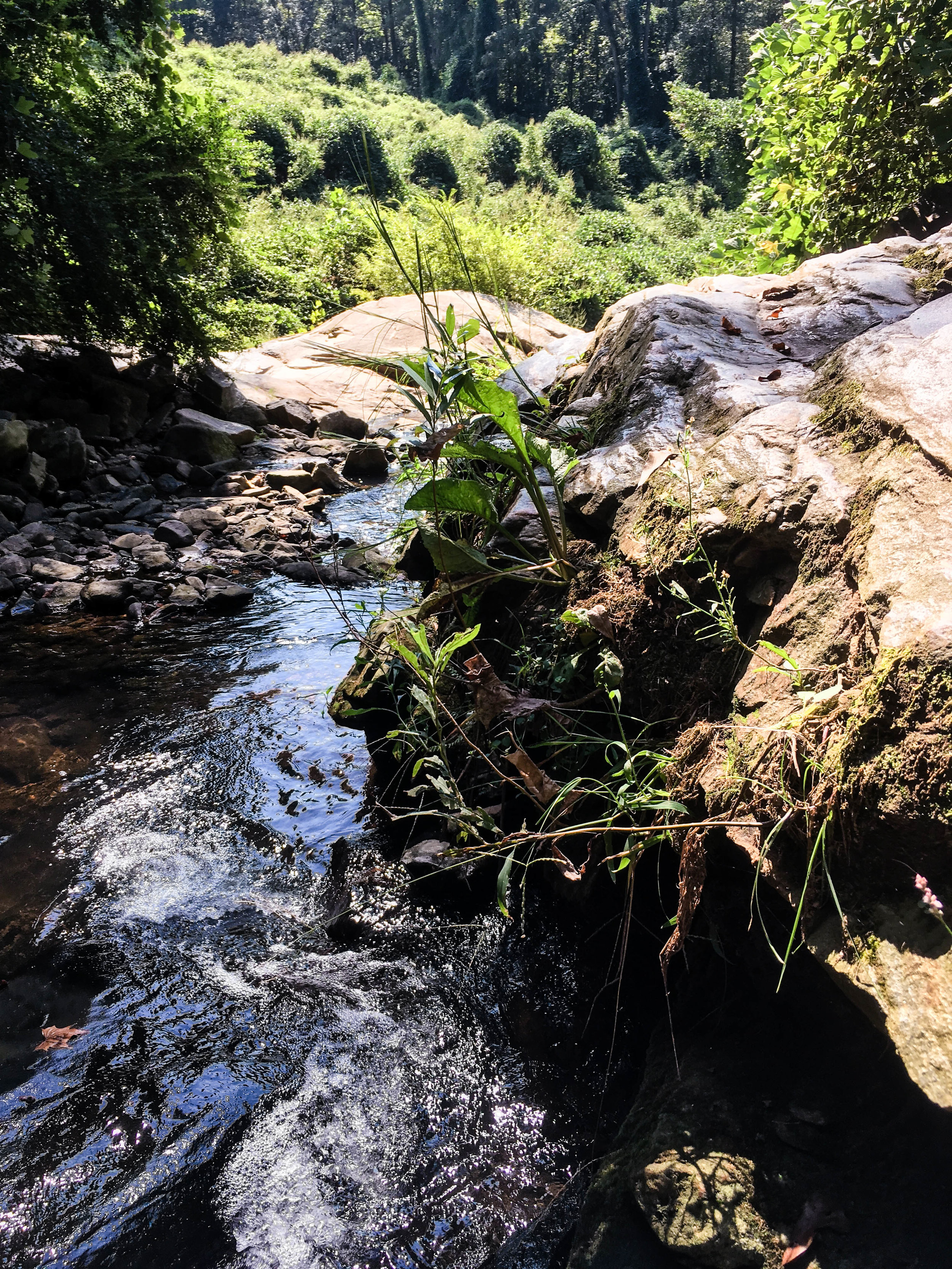
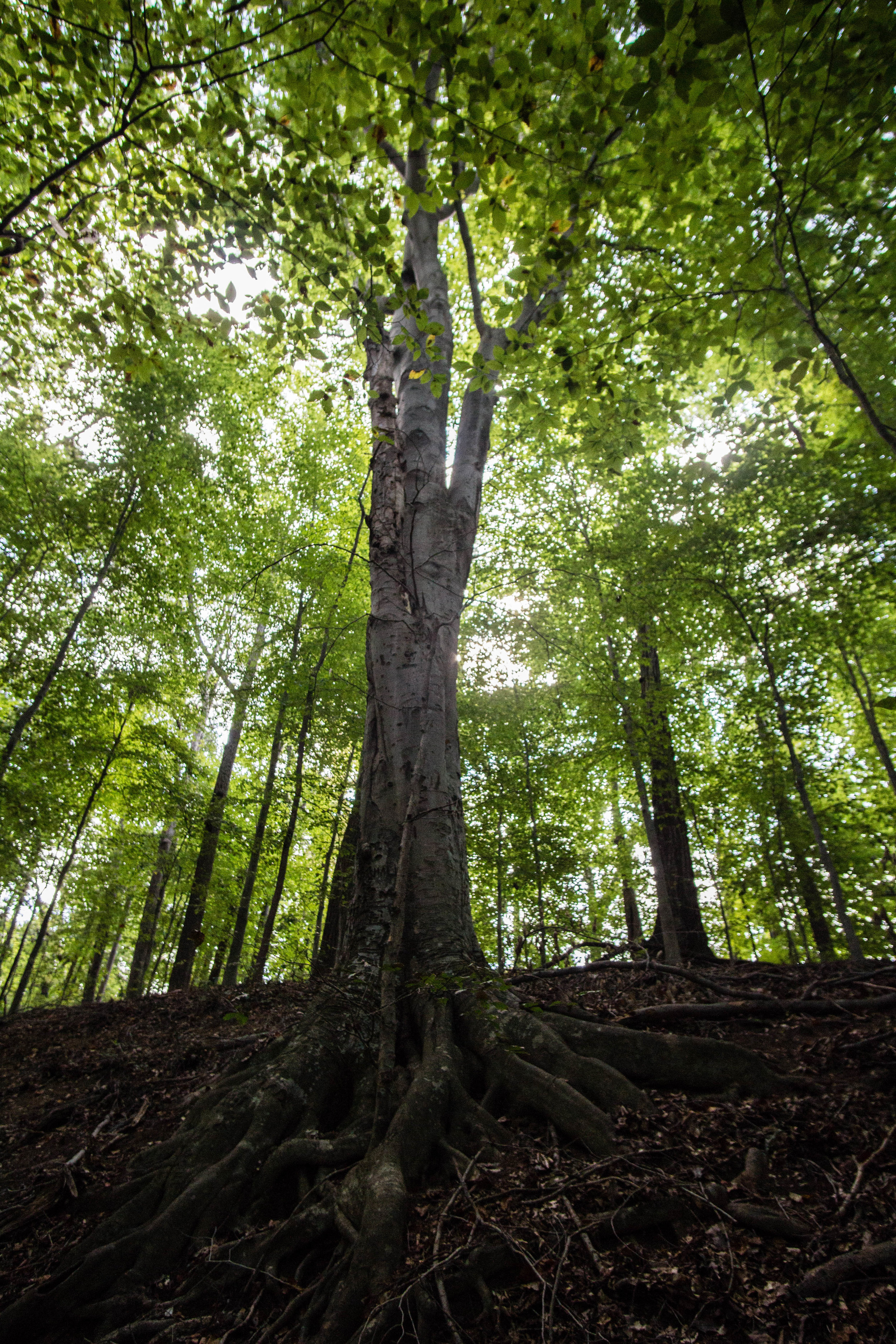
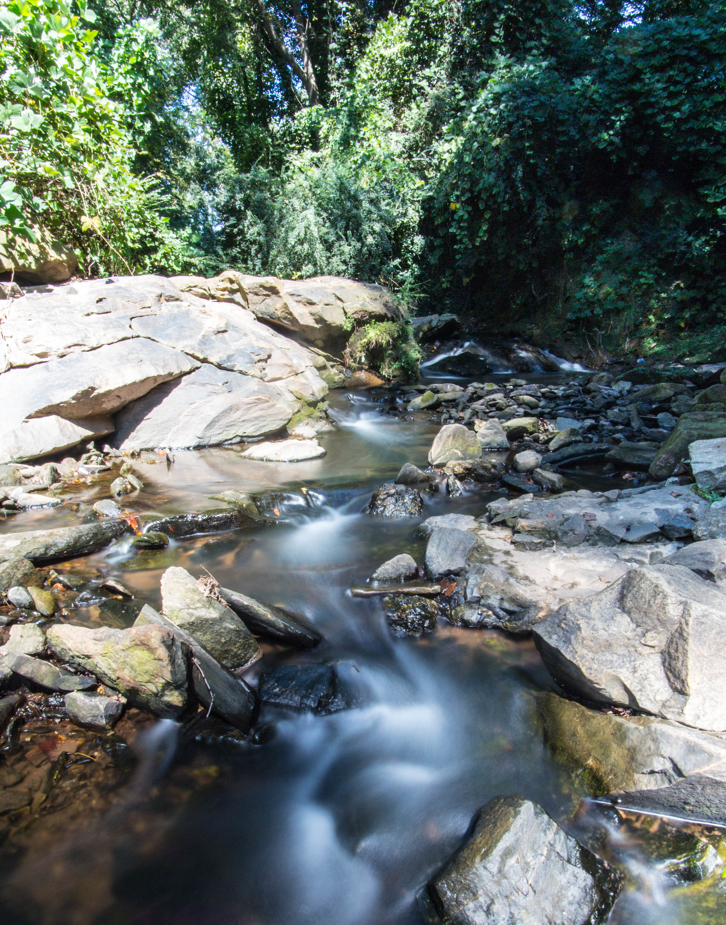
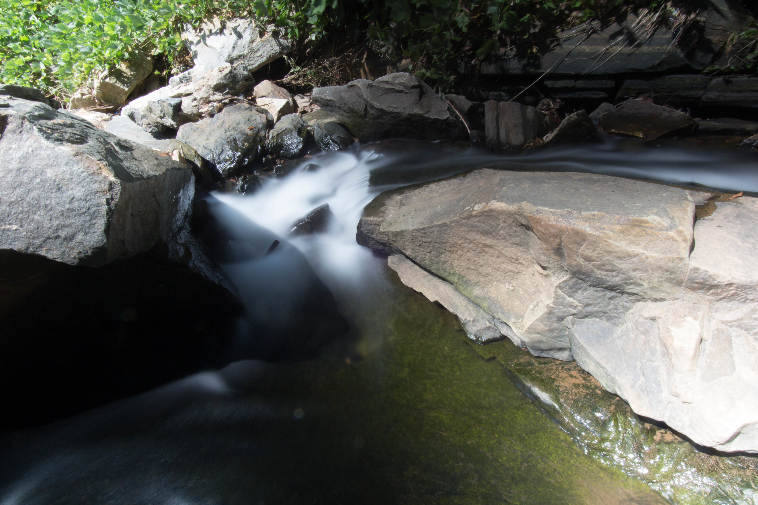
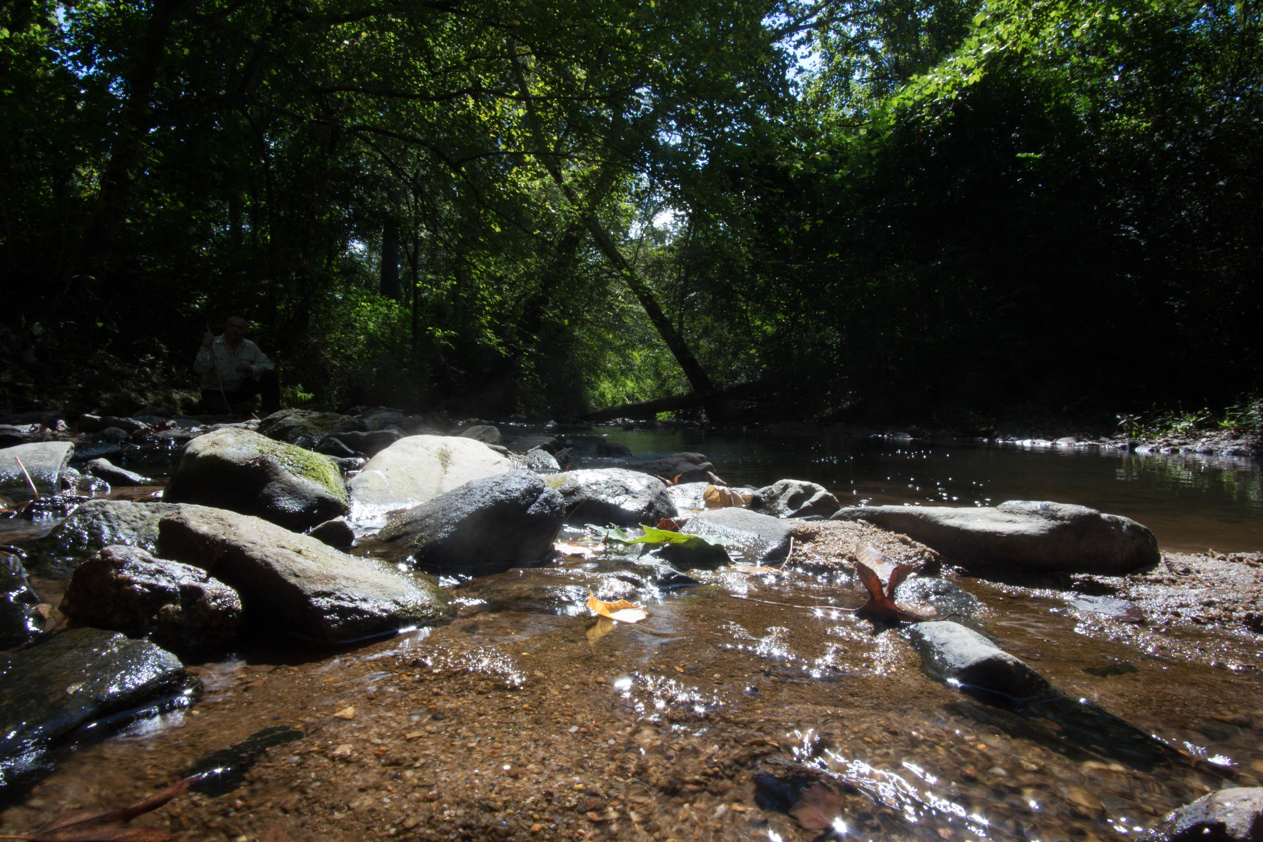
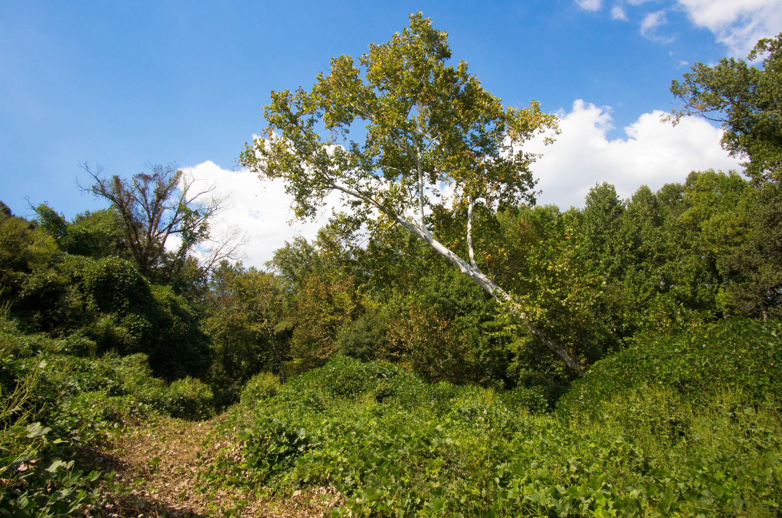
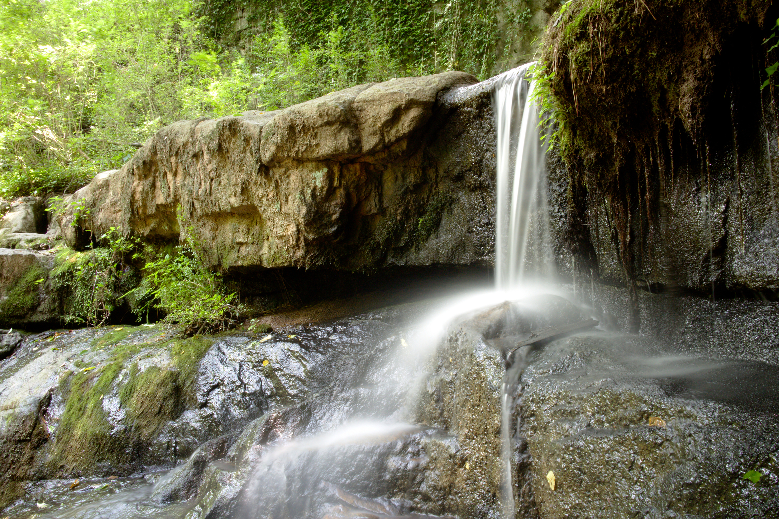
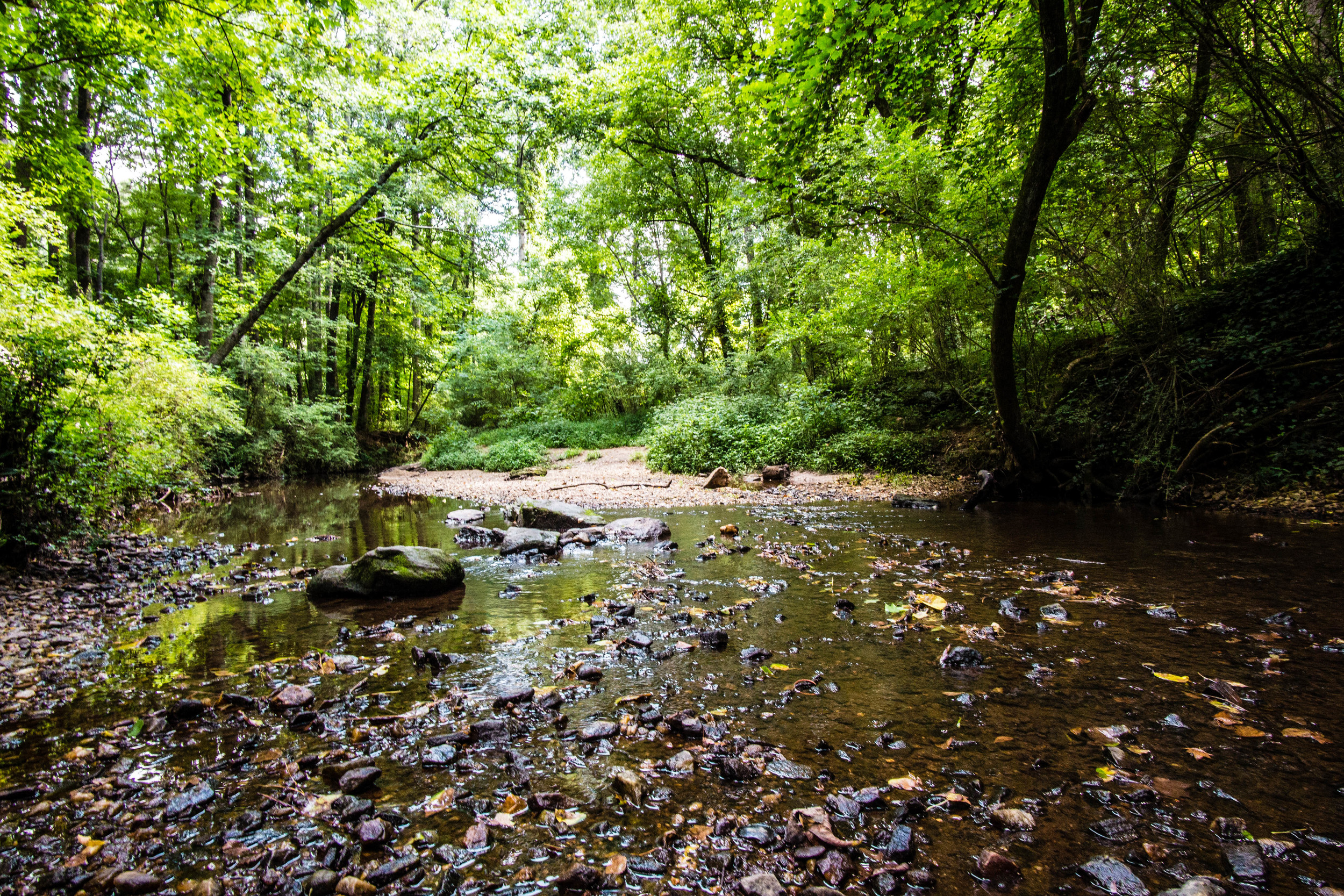
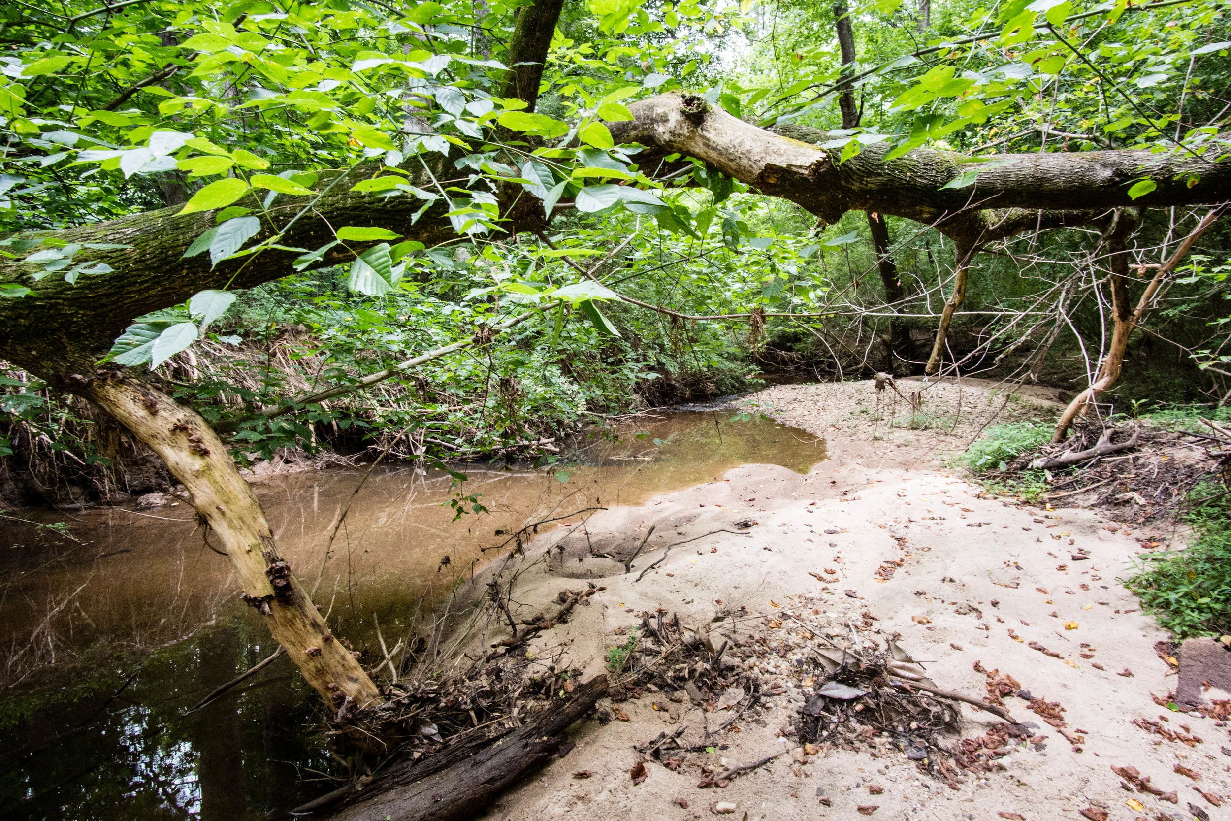
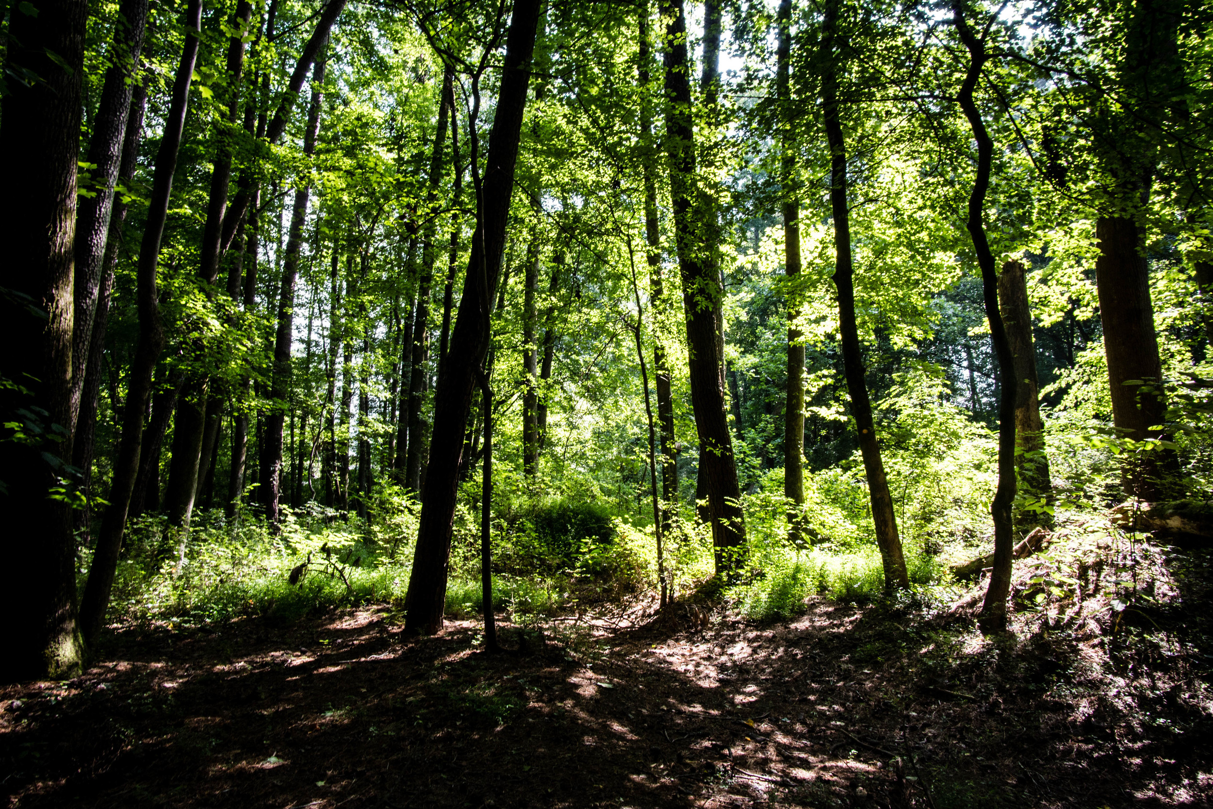
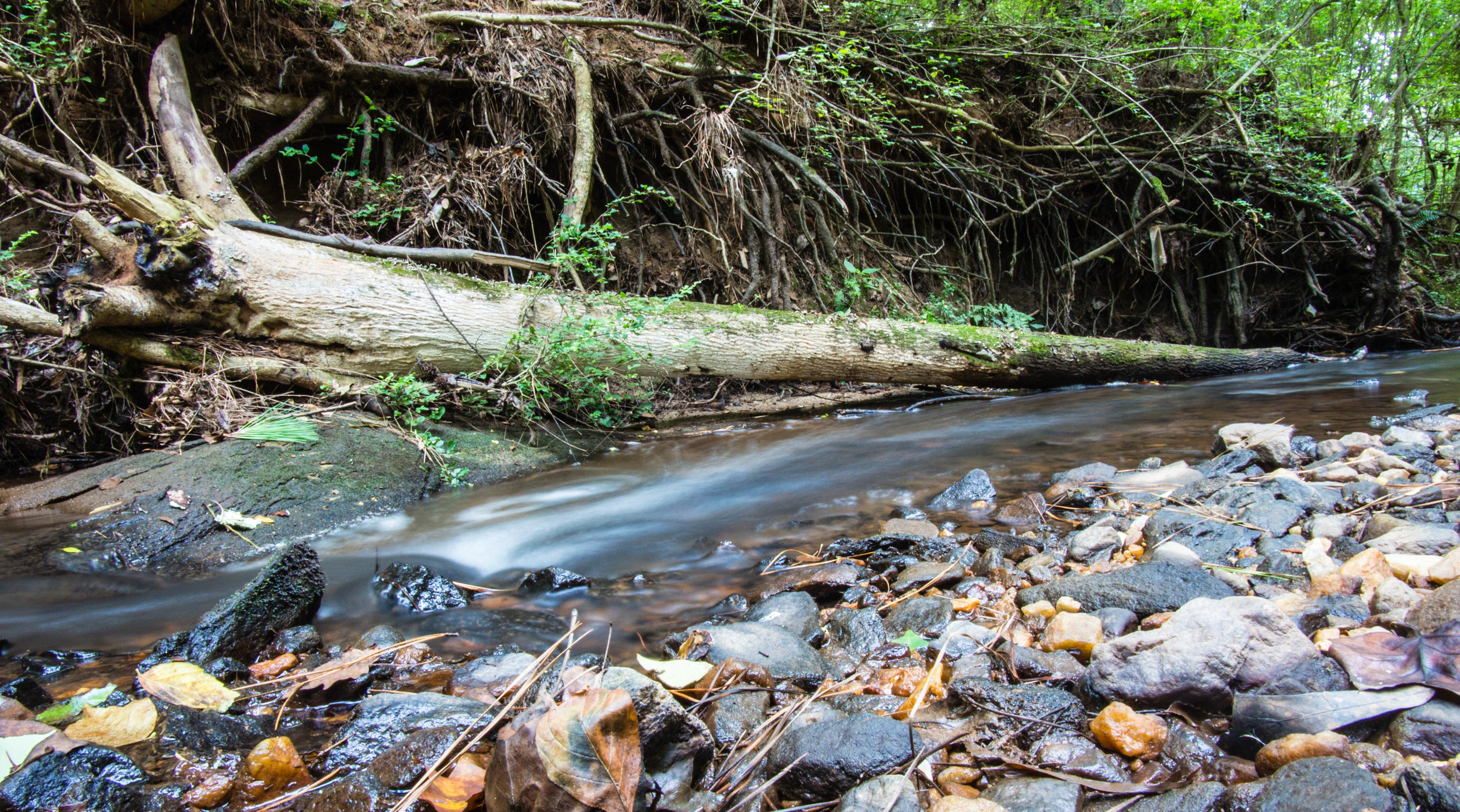
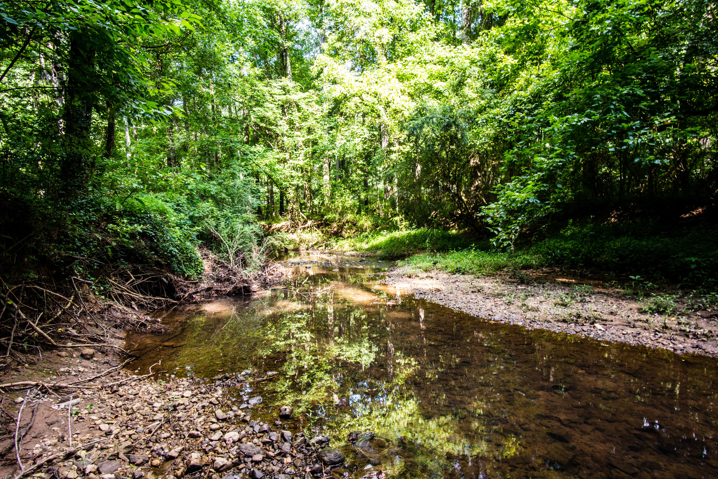
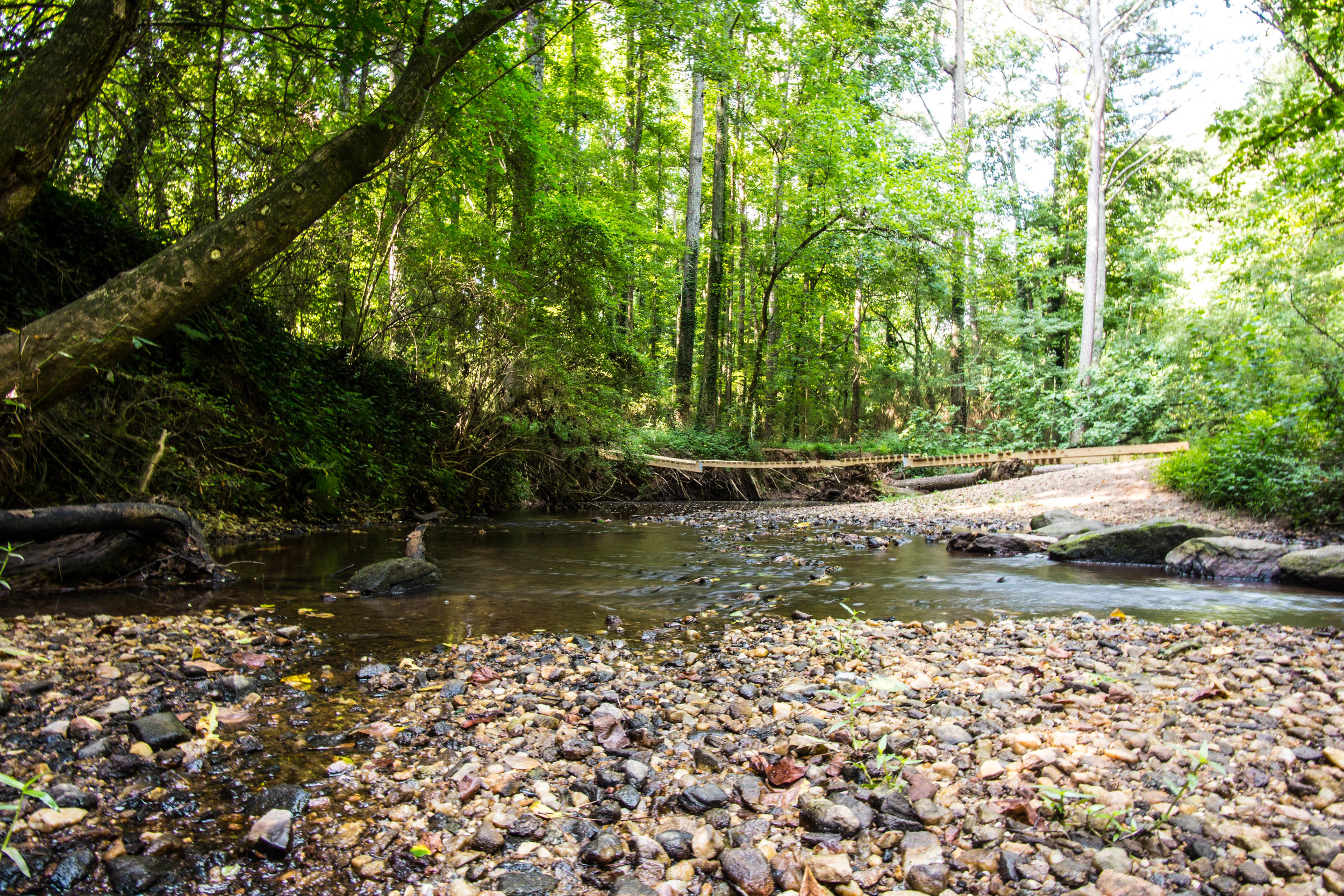
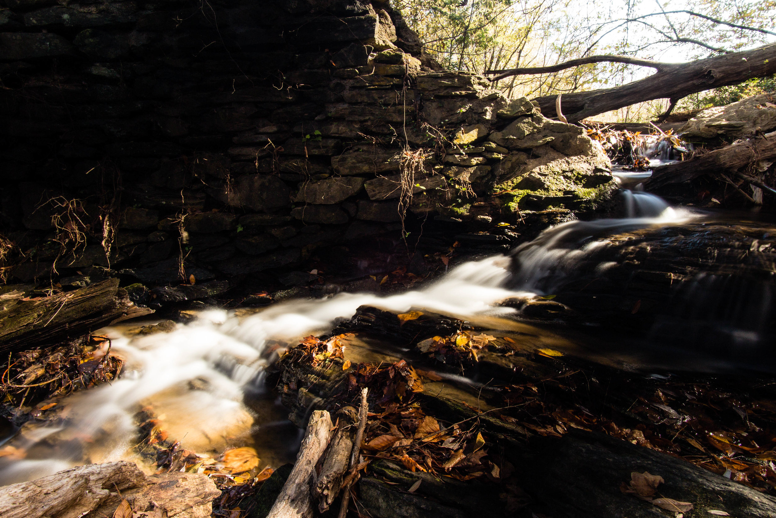
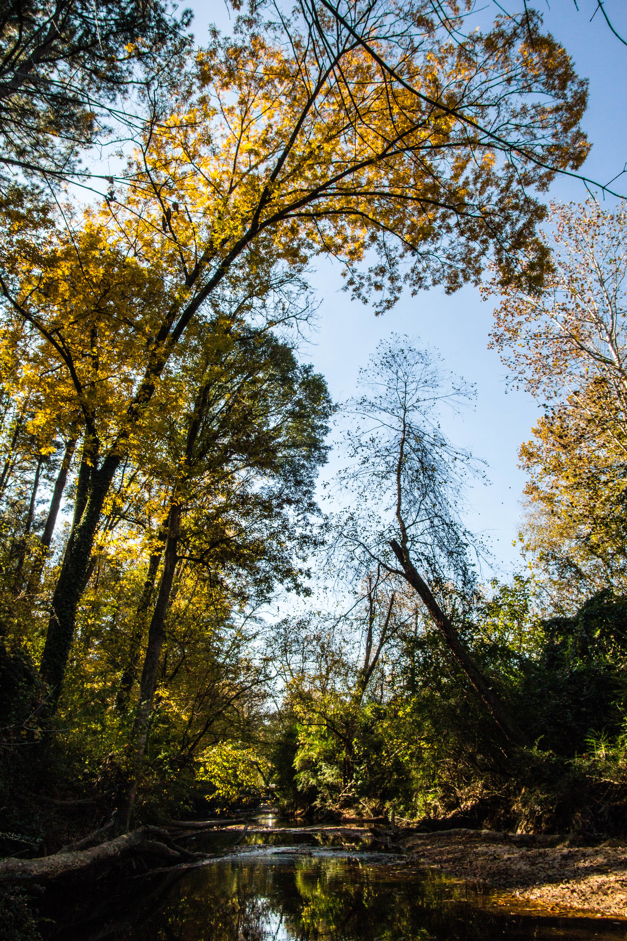
Blue Heron Nature Preserve is along Nancy Creek in North Buckhead.
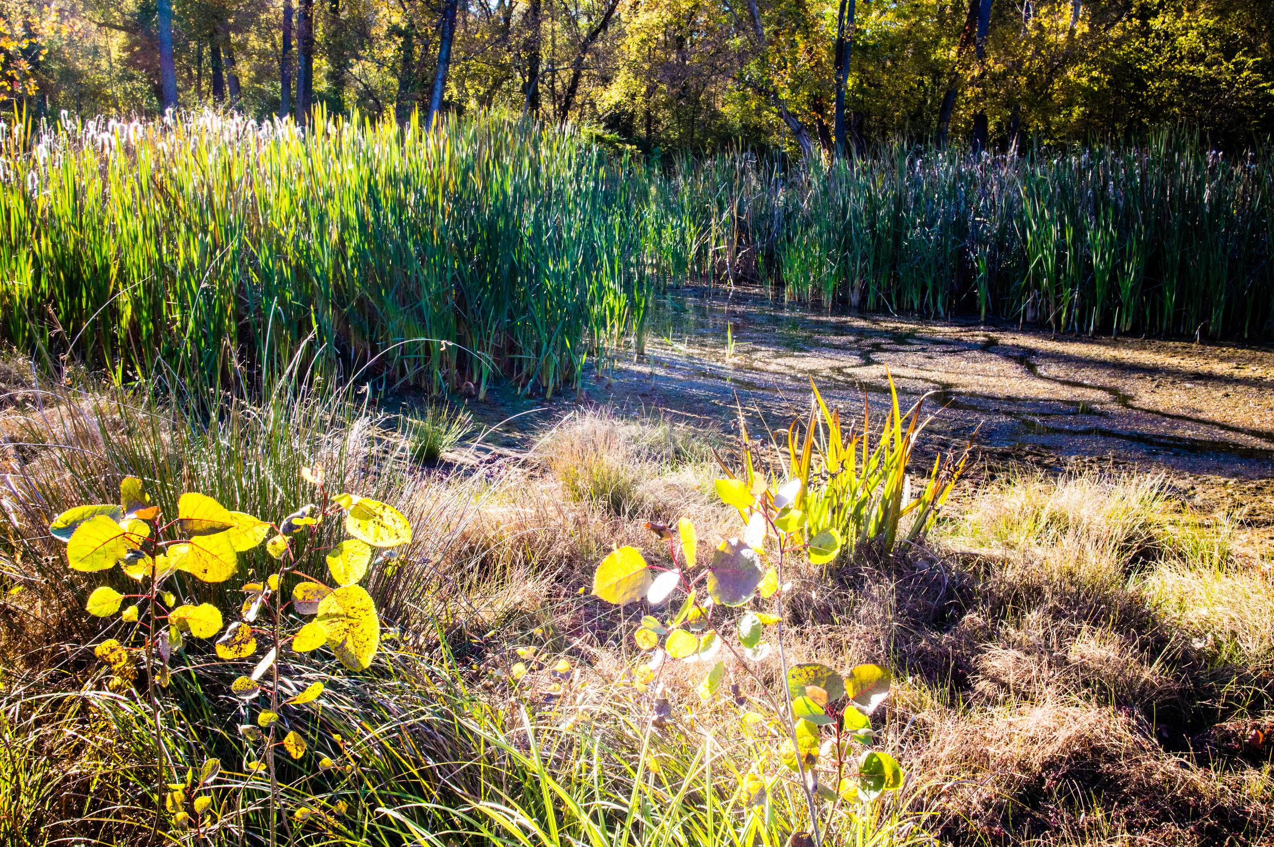
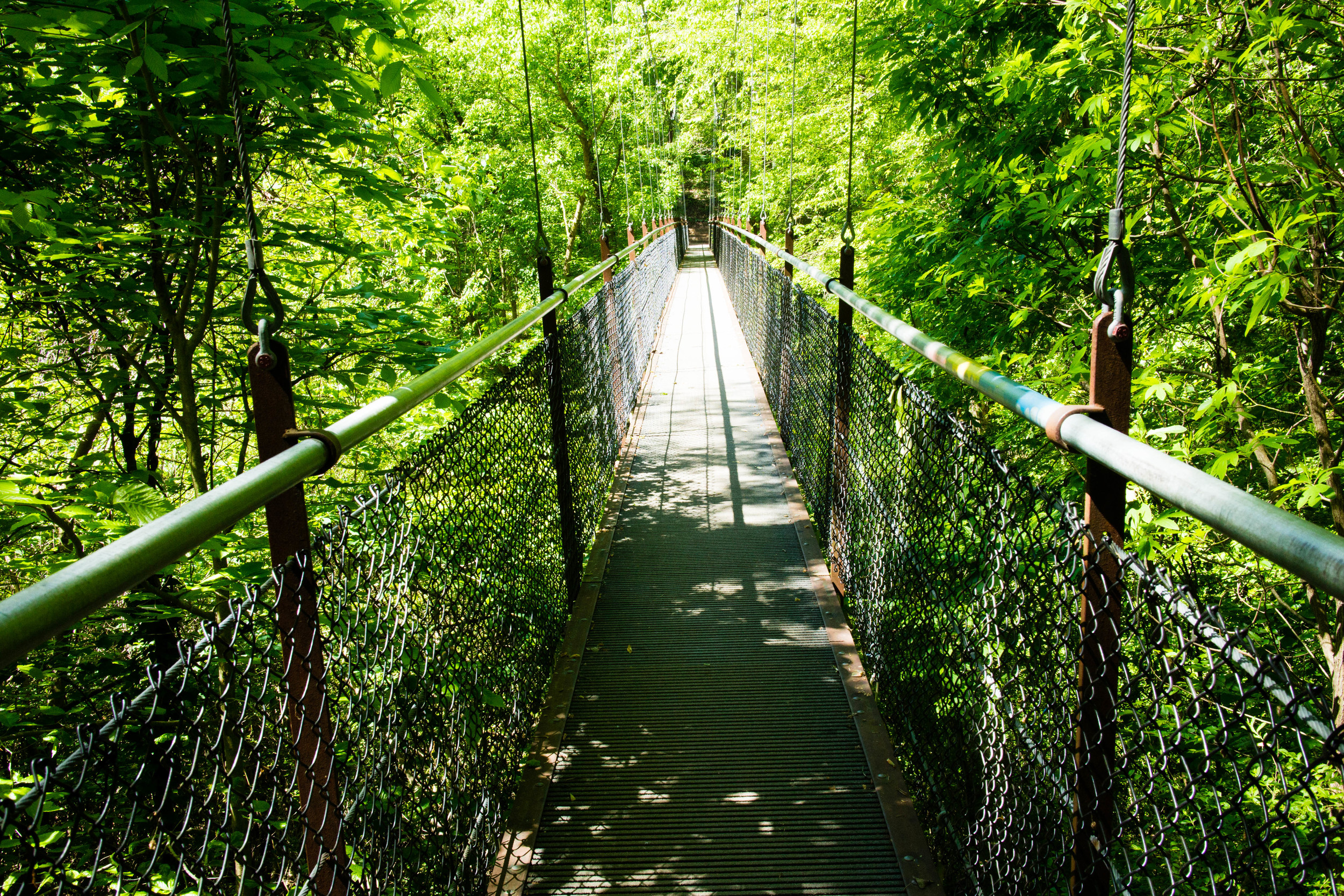
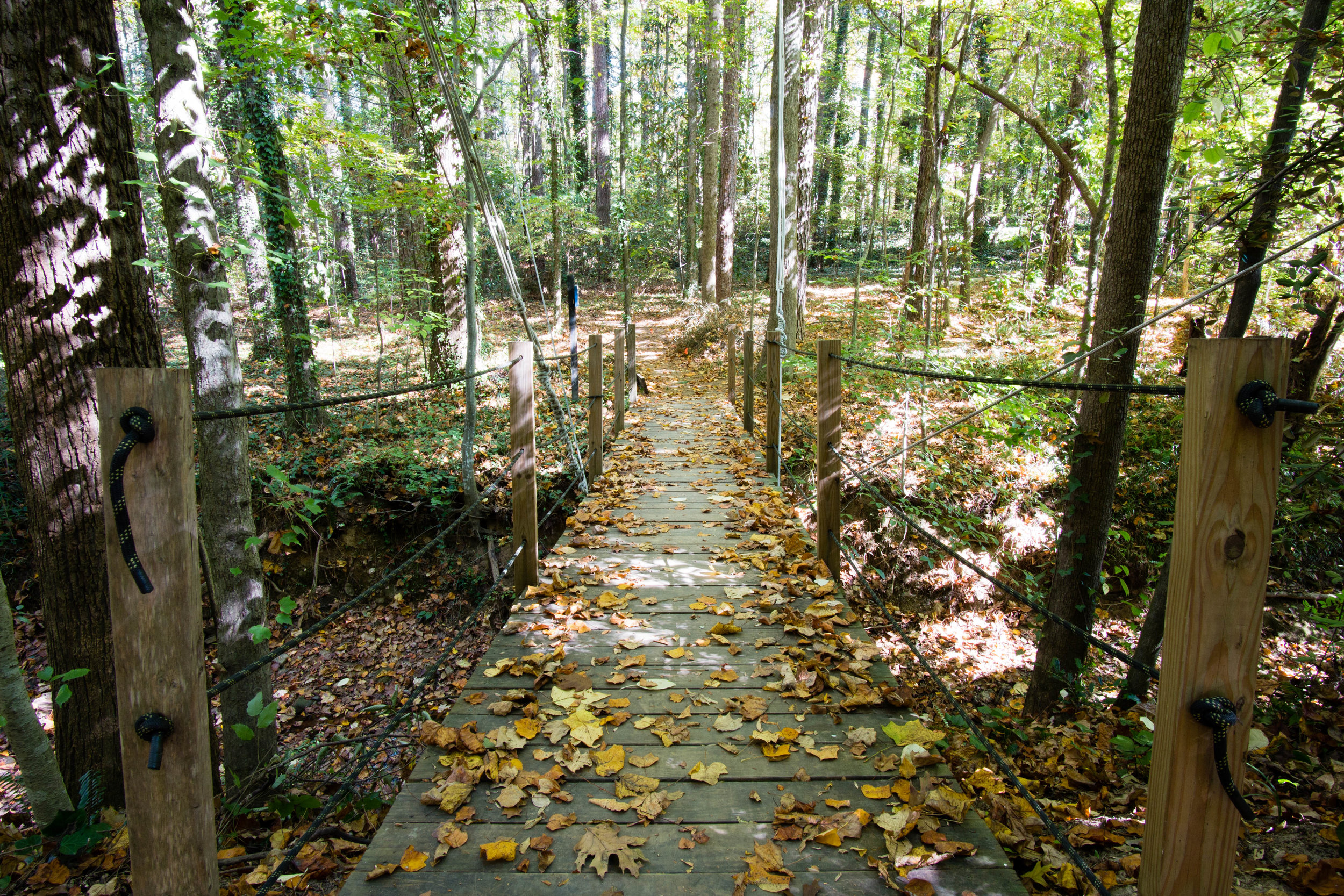
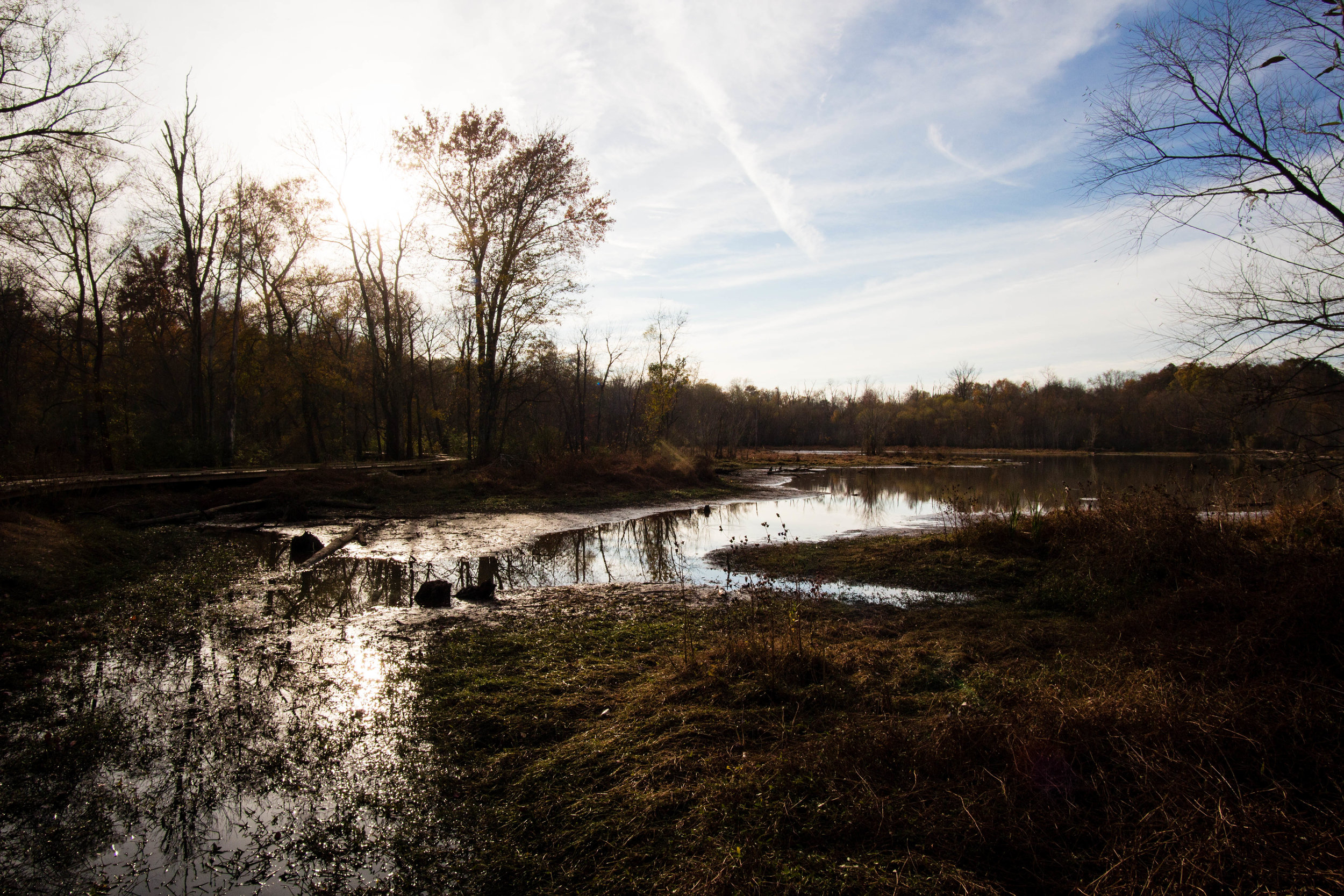
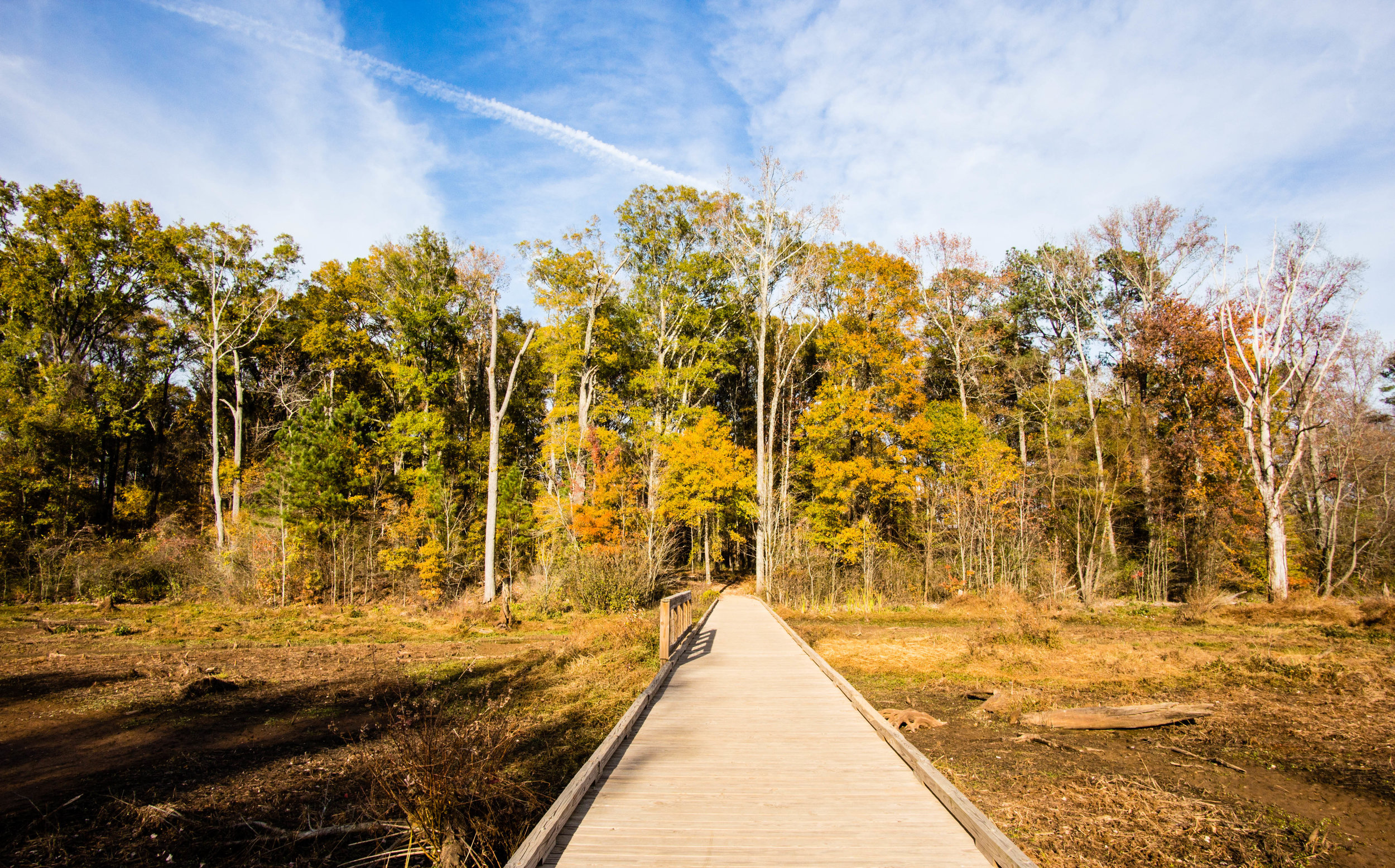
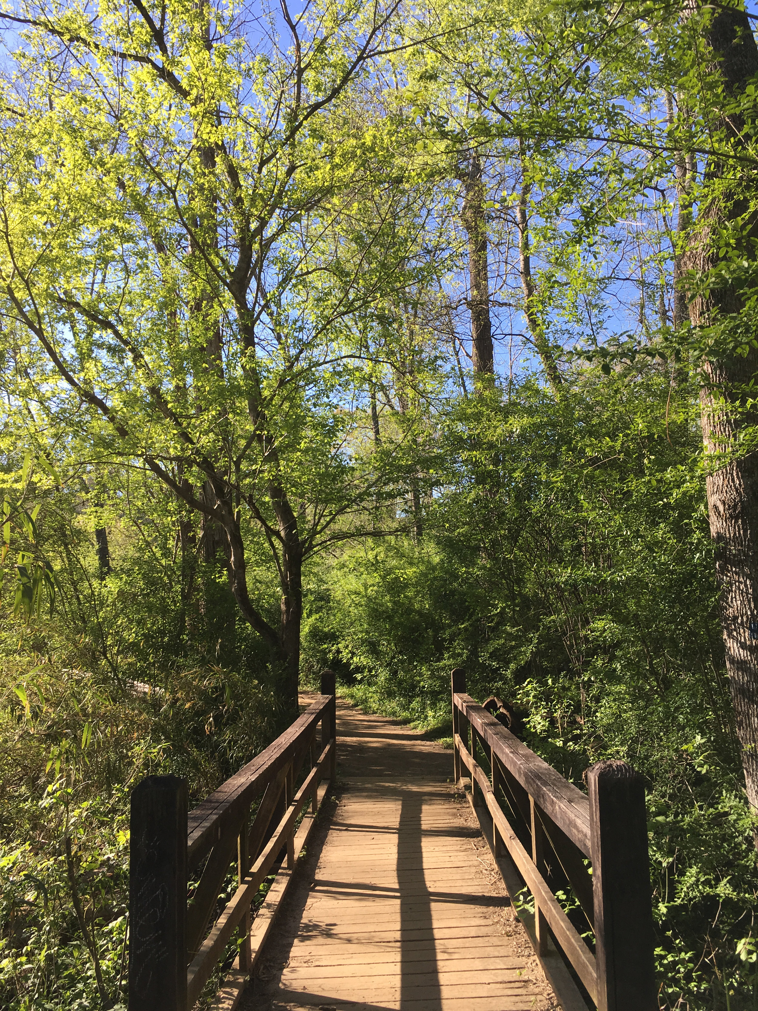
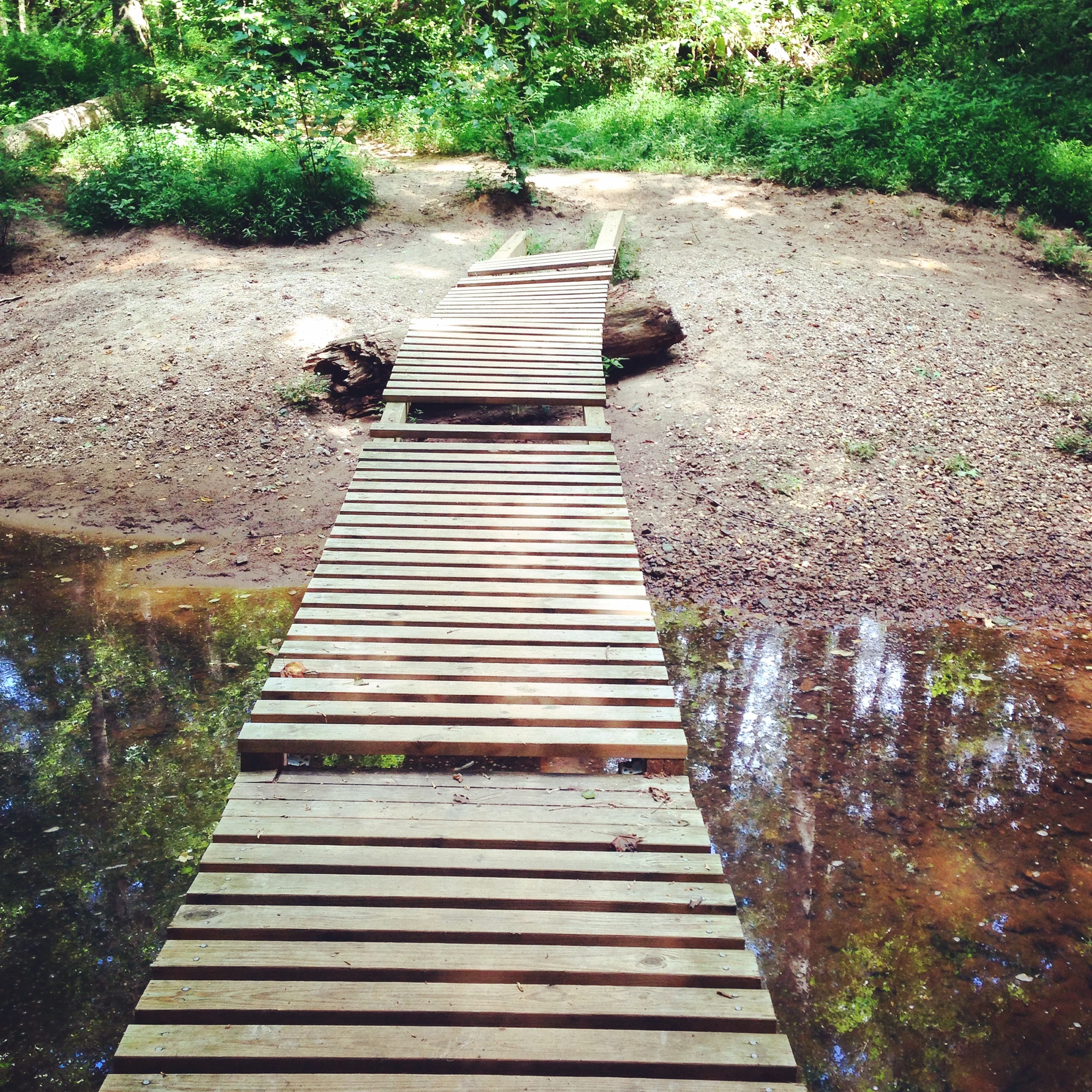
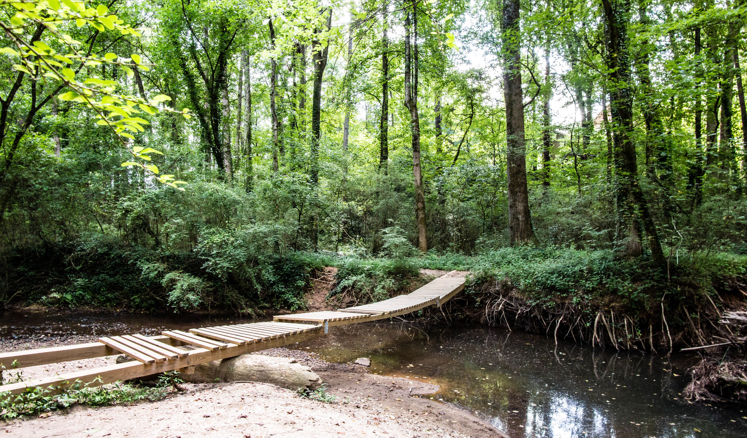
The Blueway Trail of Eidson Mill, Emma Lane Wetlands, and Land O’ Lakes was completed in 2020, and now all the trails at the preserve are combined (other than some brief sidewalk connections)
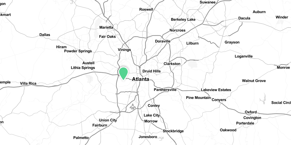
Address: 4055 Roswell Rd NE, Atlanta, GA 30342
Admission: Free
Governance: City of Atlanta, Blue Heron Nature Preserve
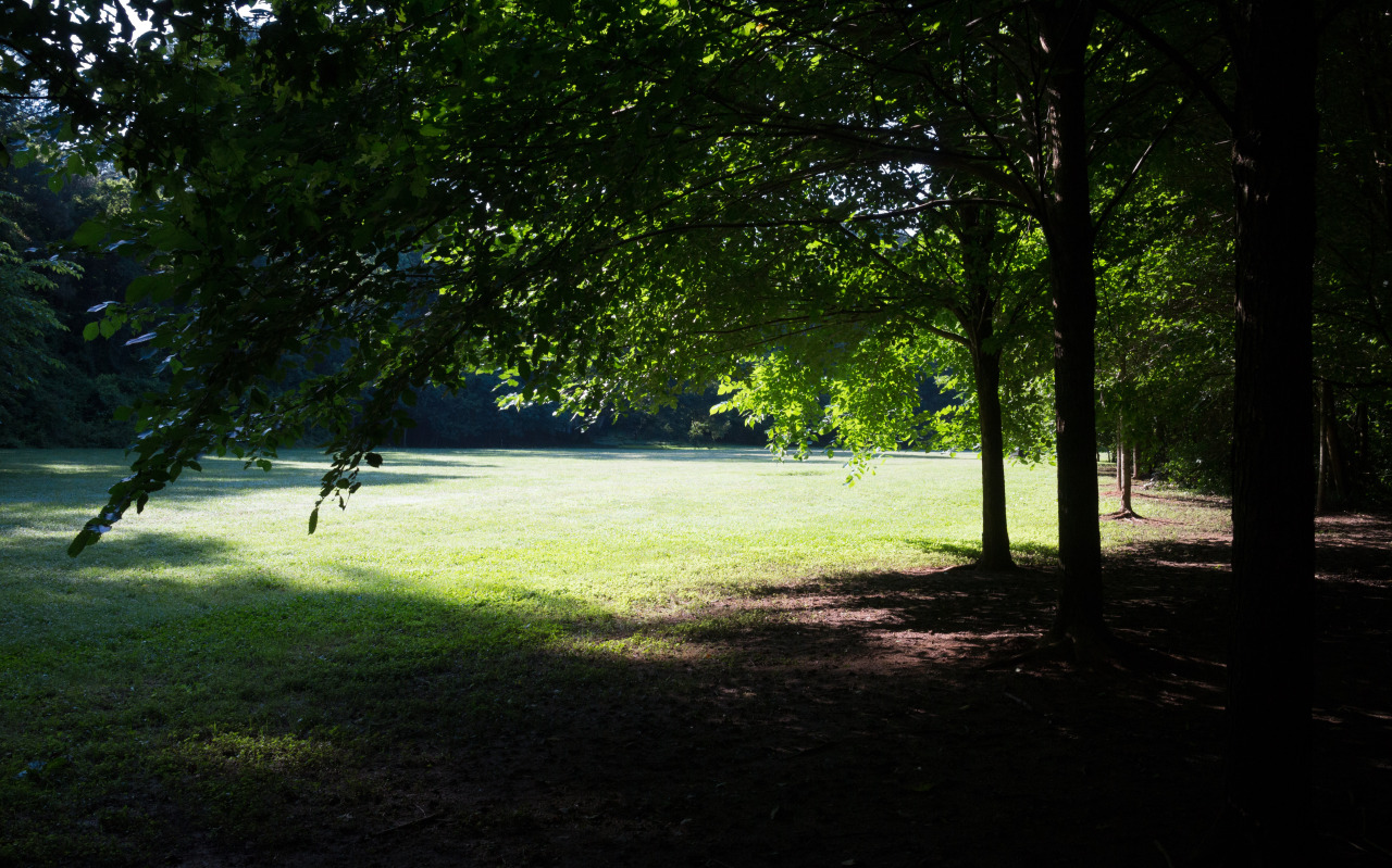
Acres: 30
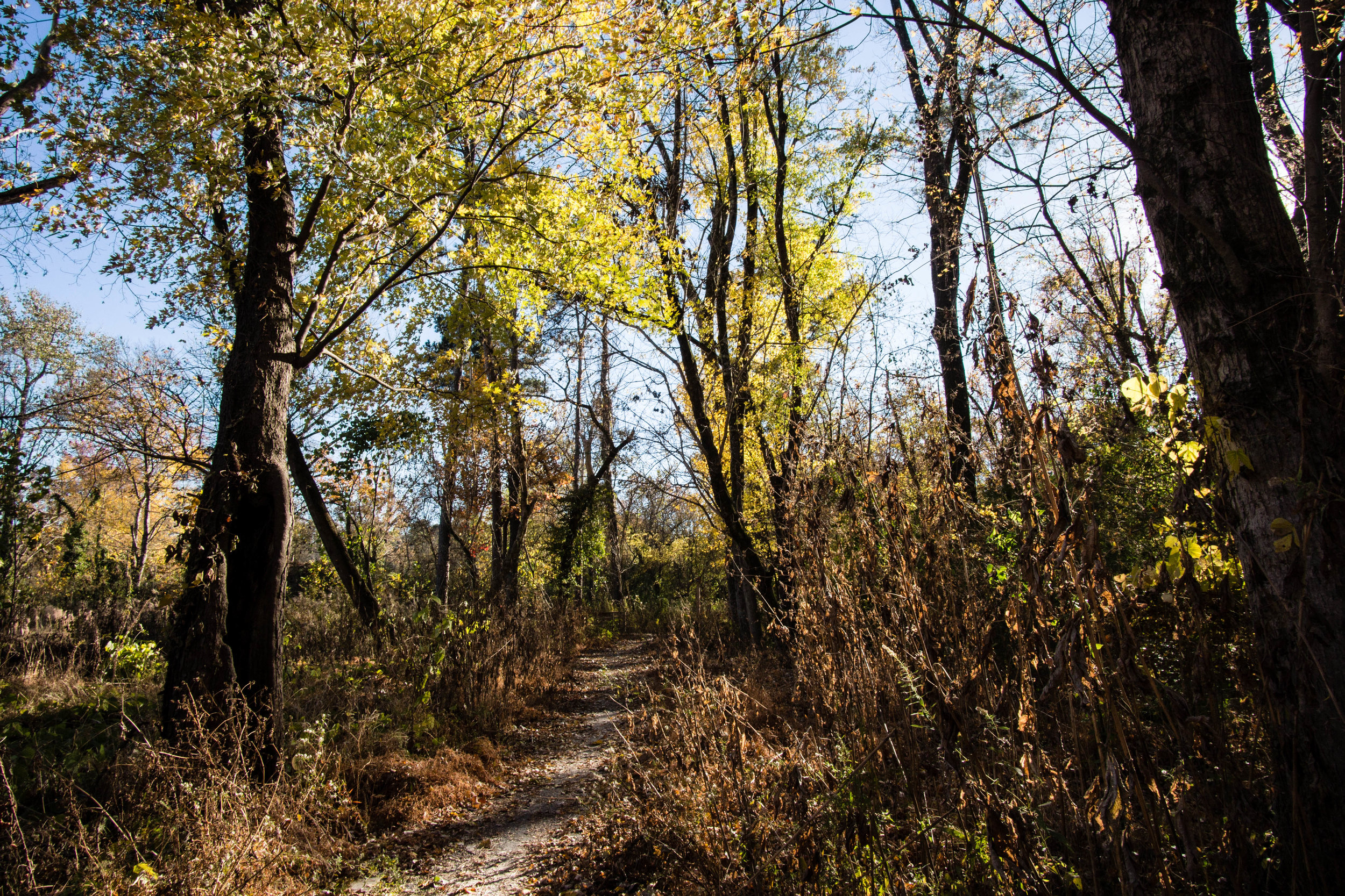
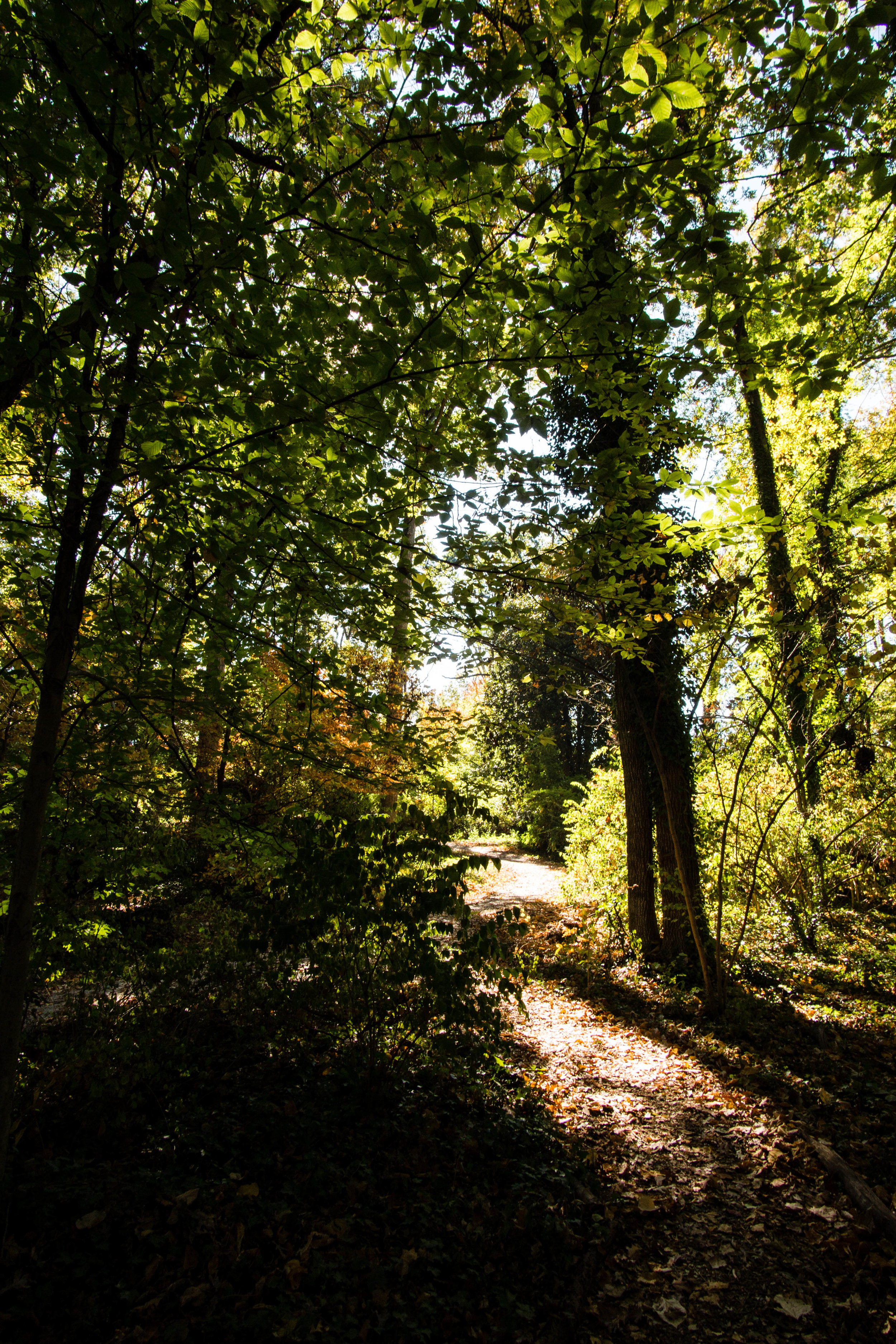
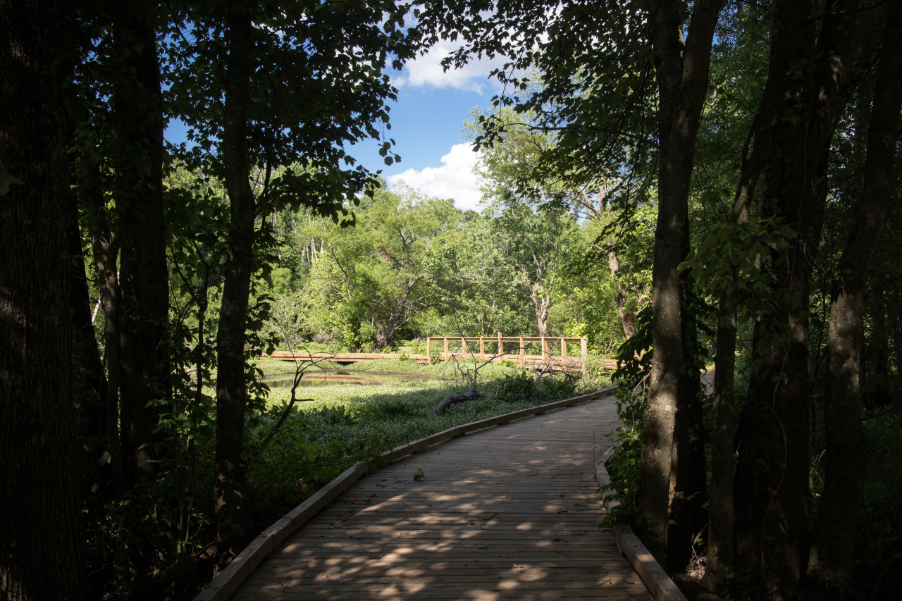
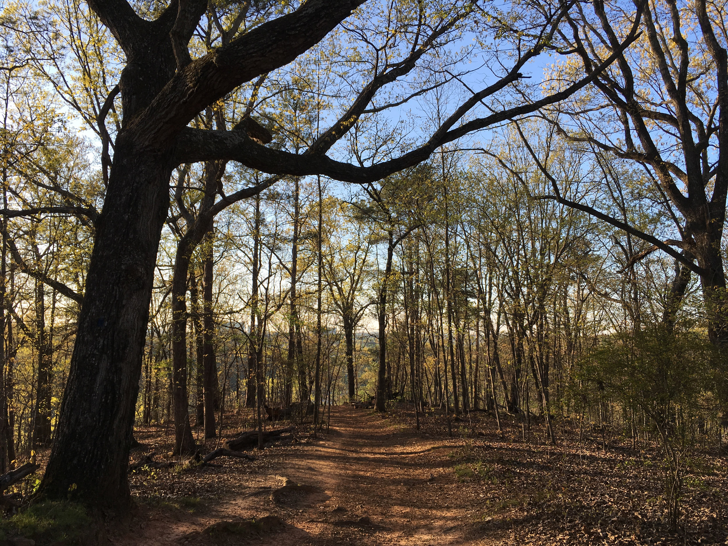
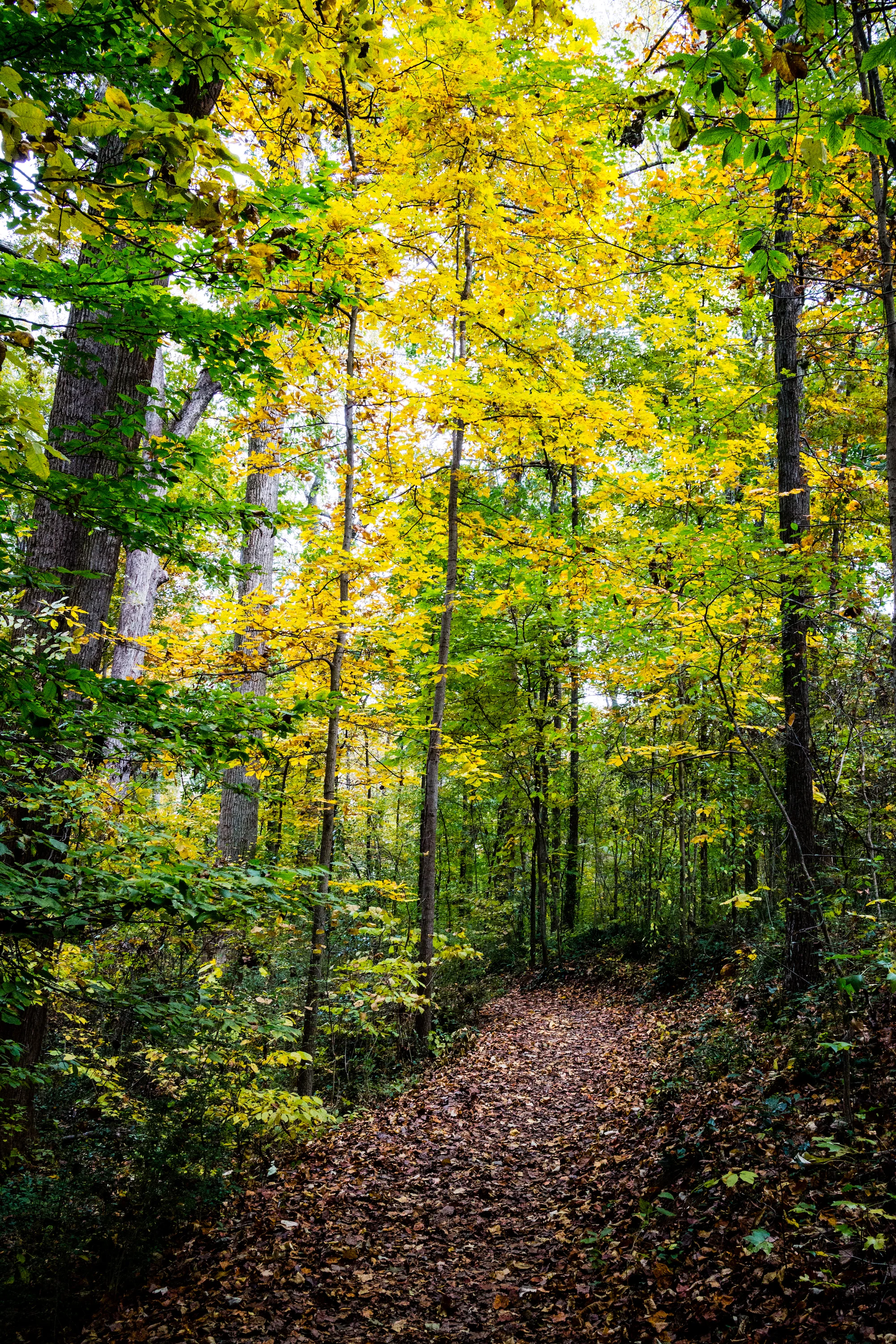
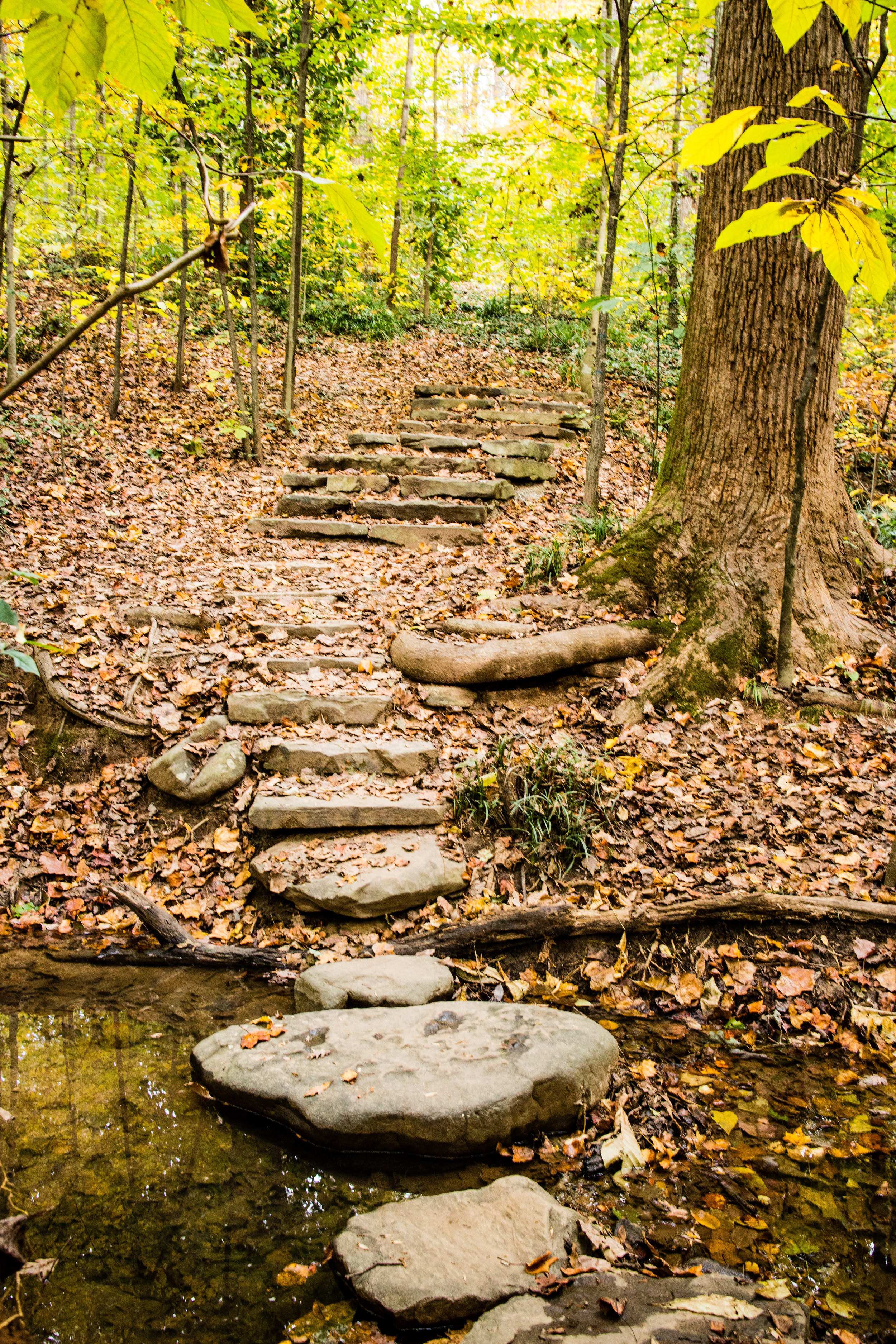
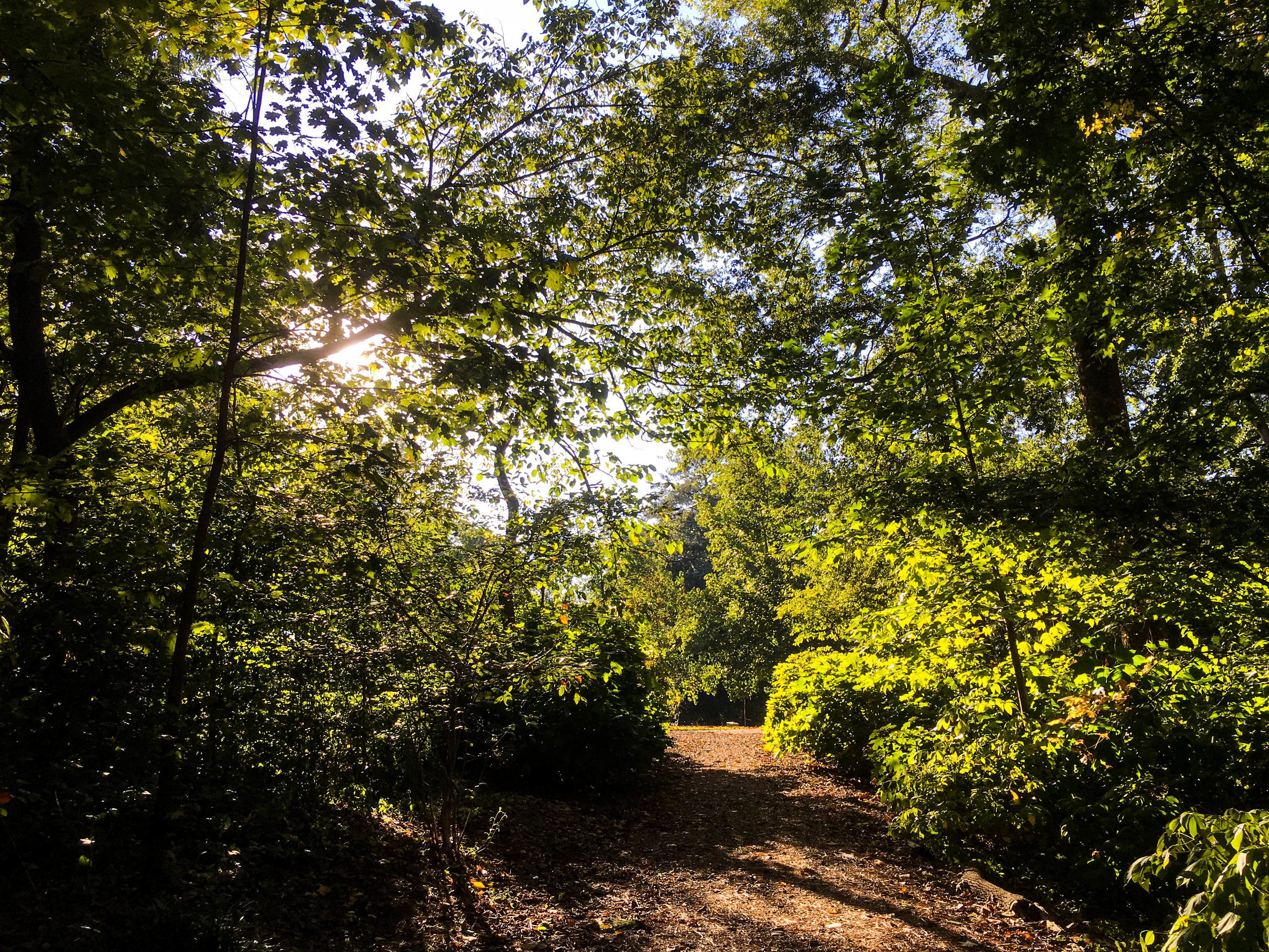
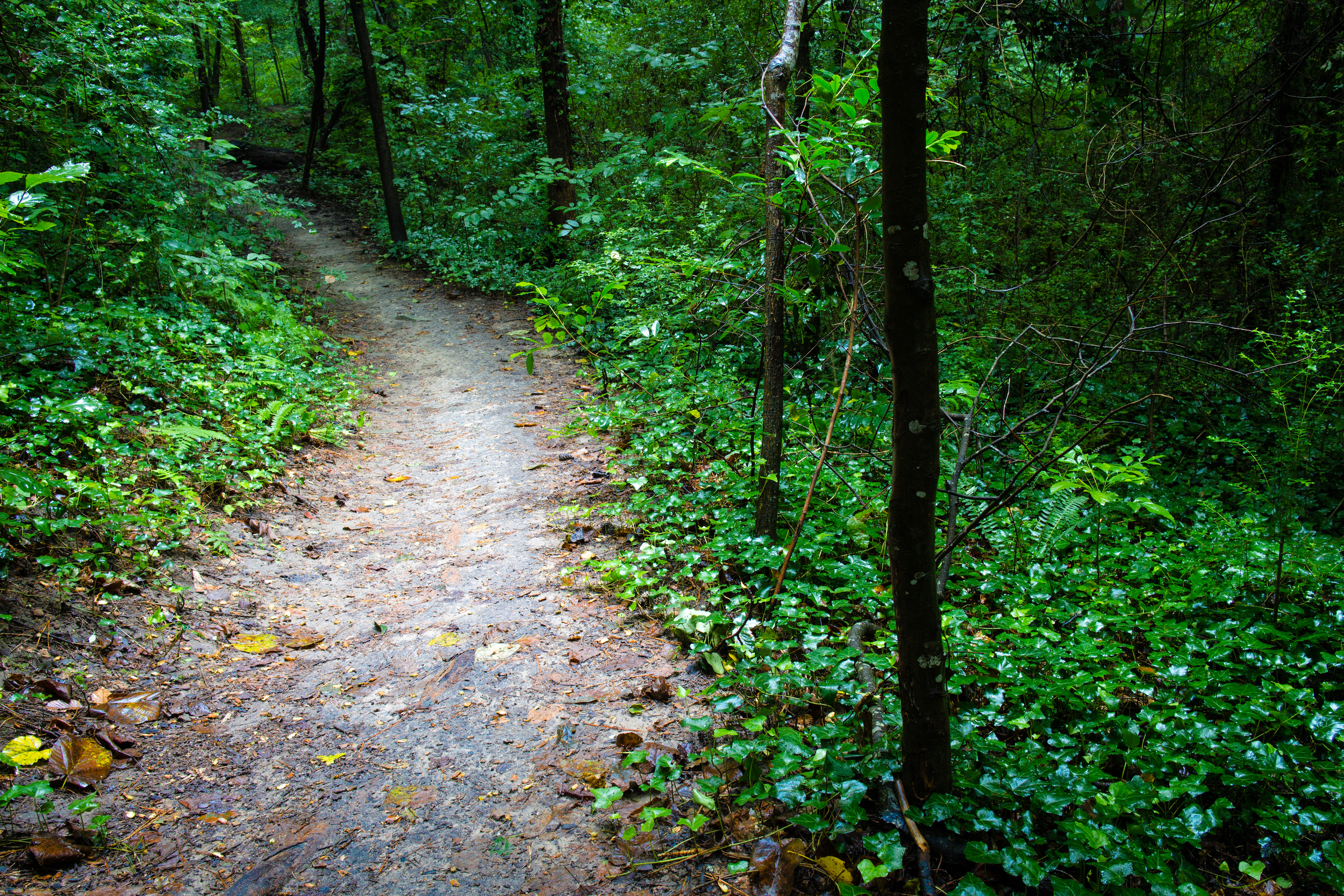
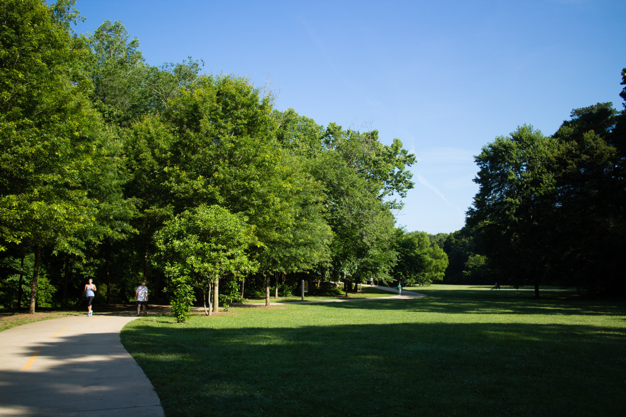
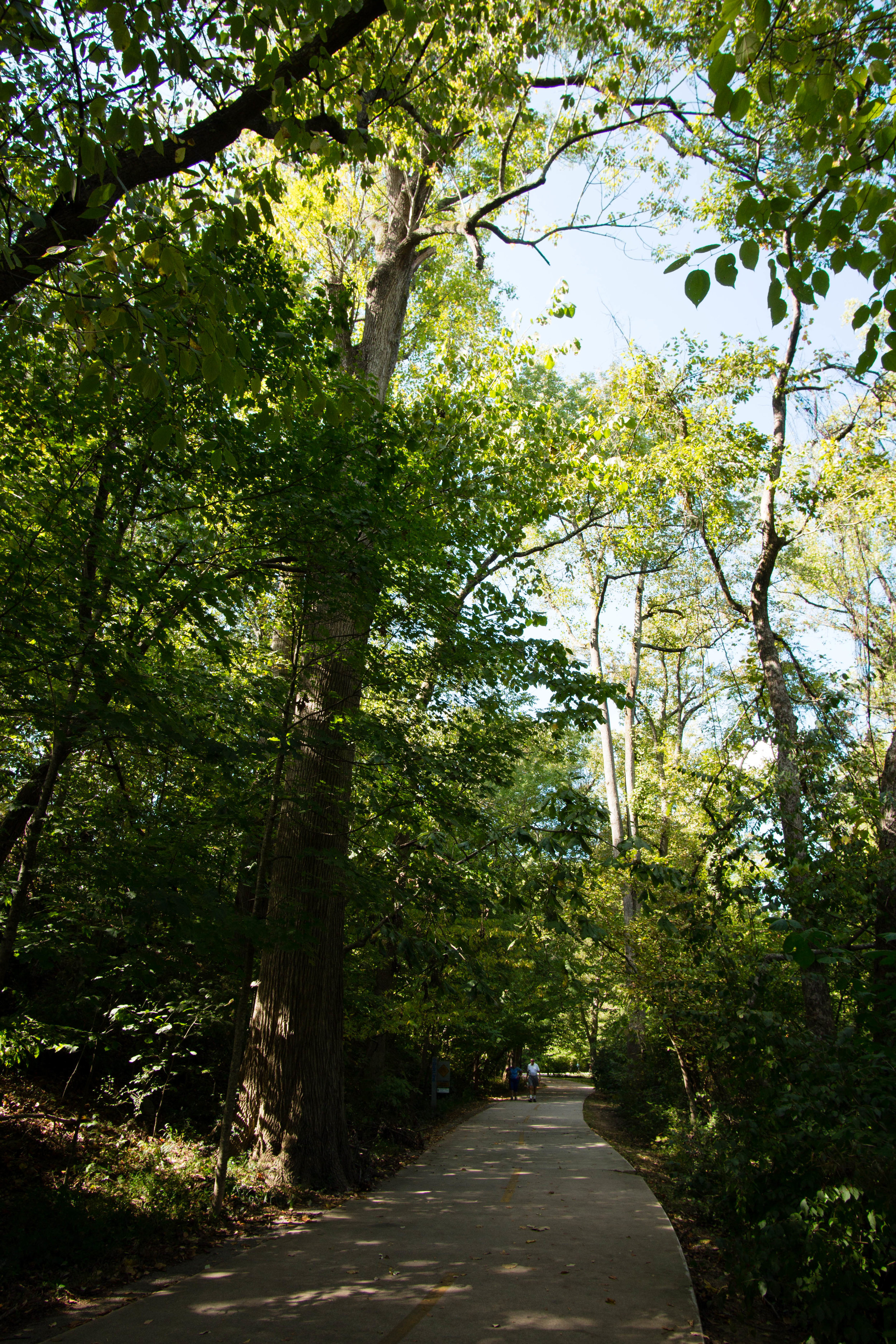
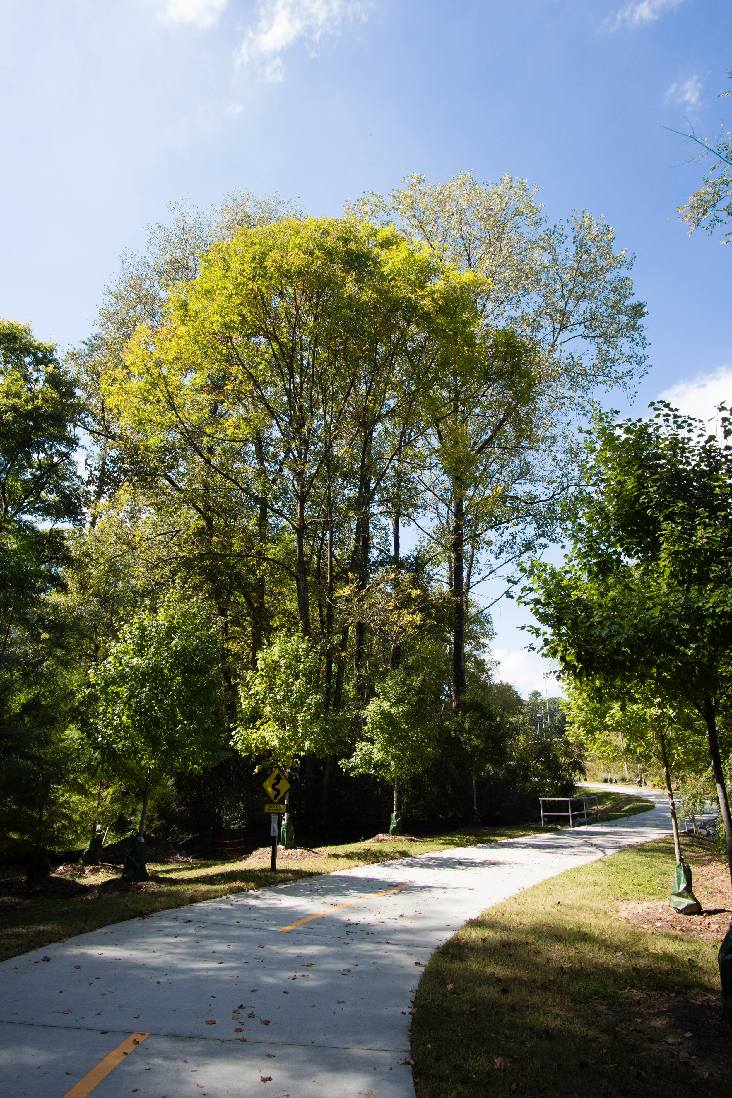
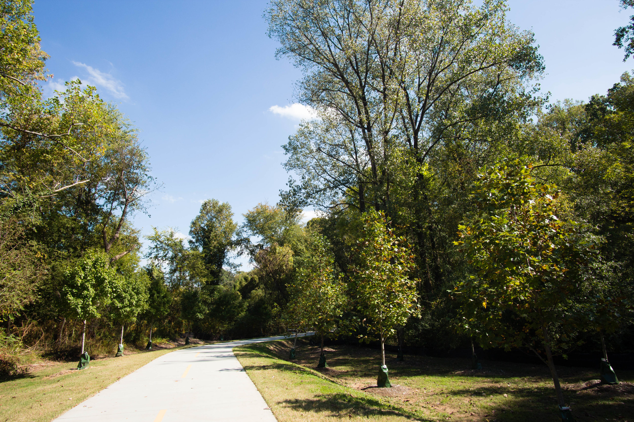
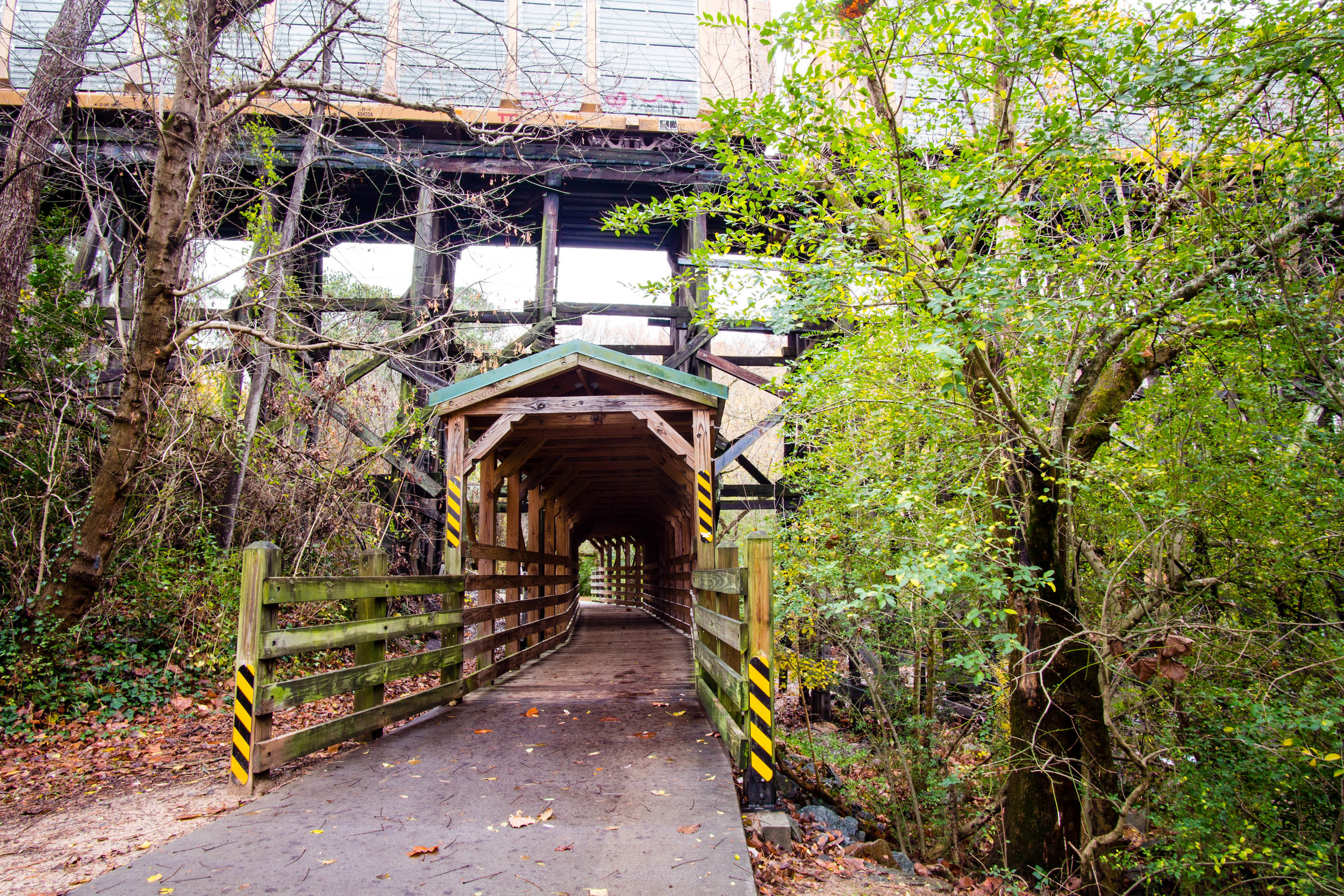
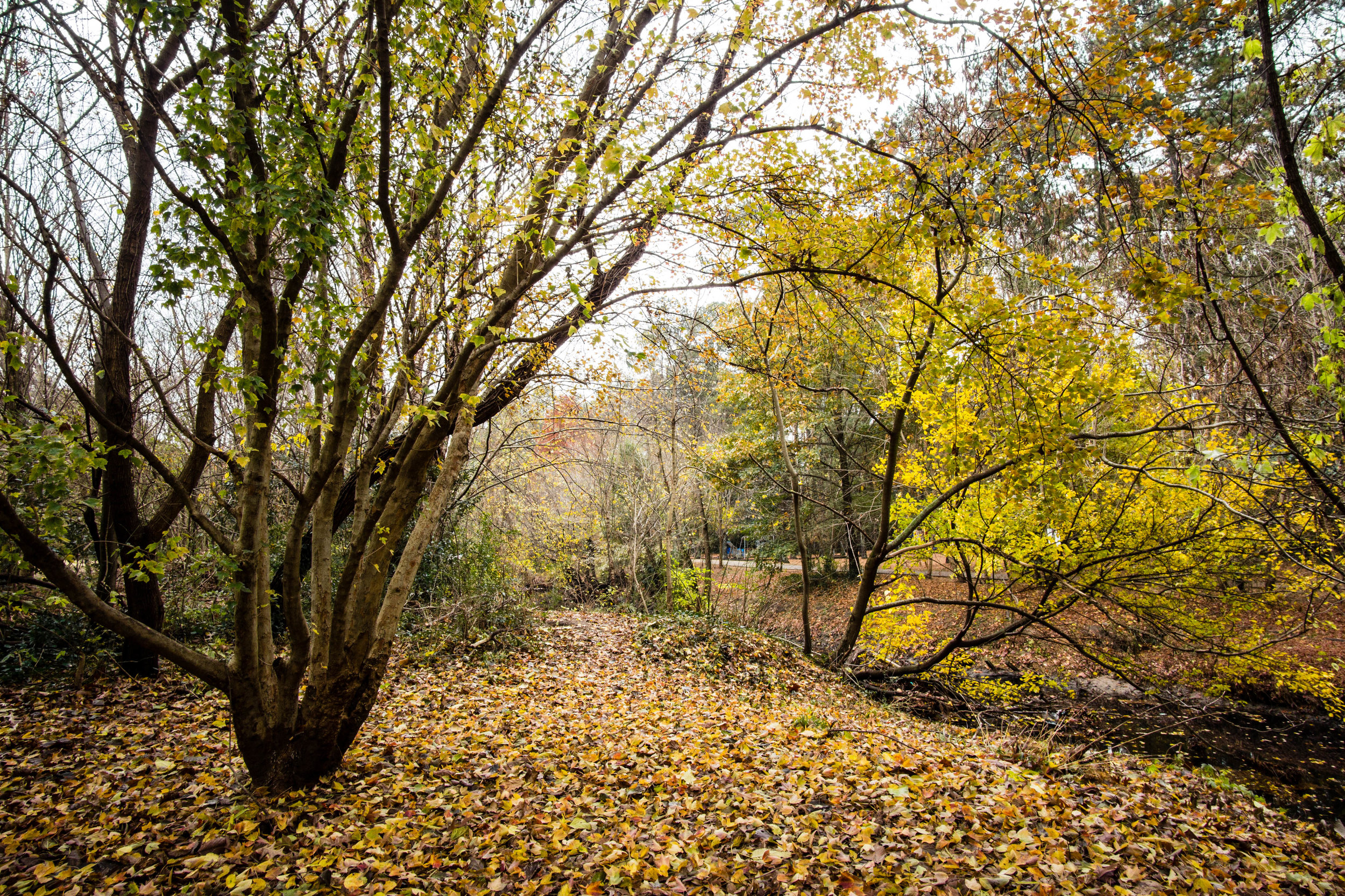
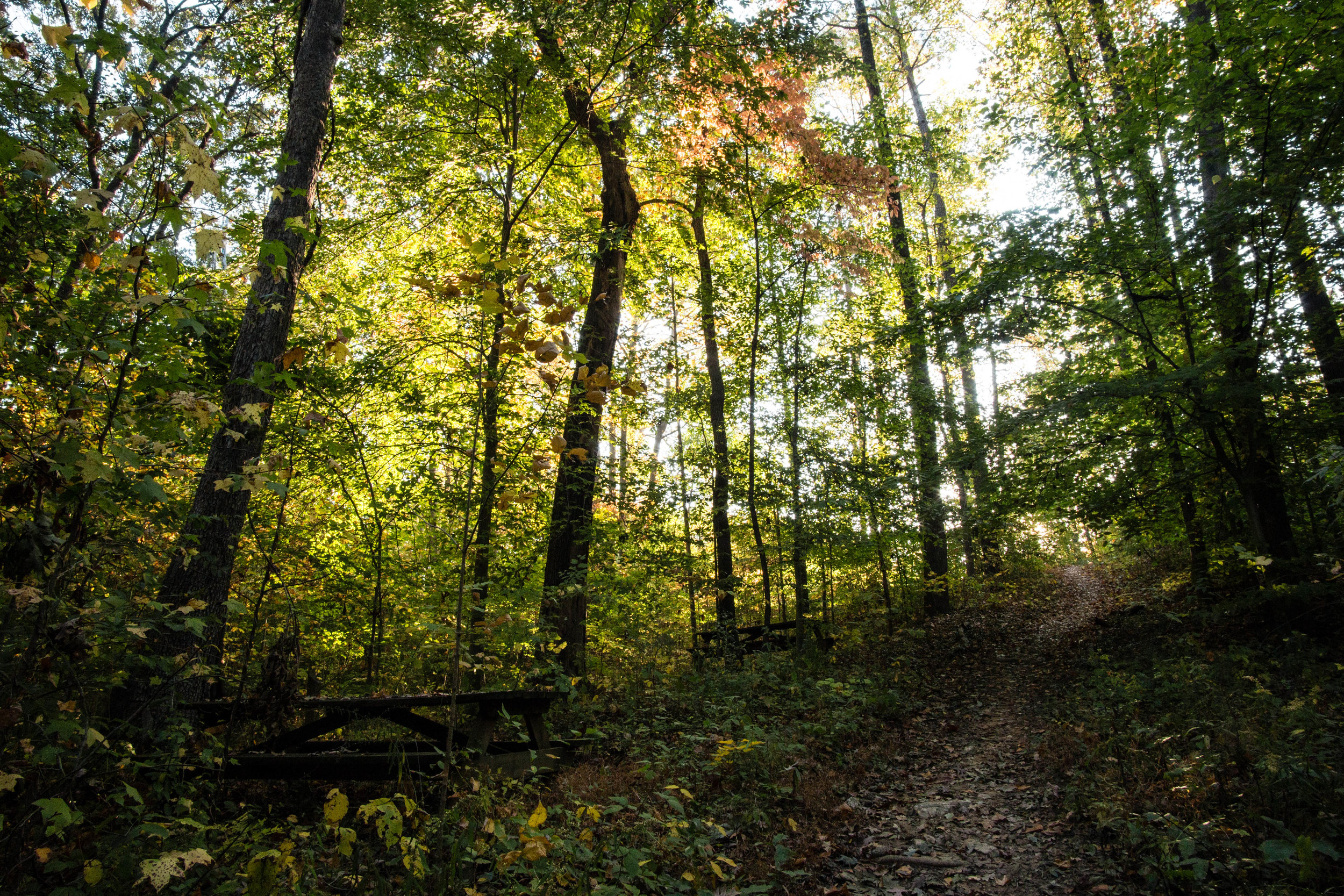
Approximate miles of trails: 3
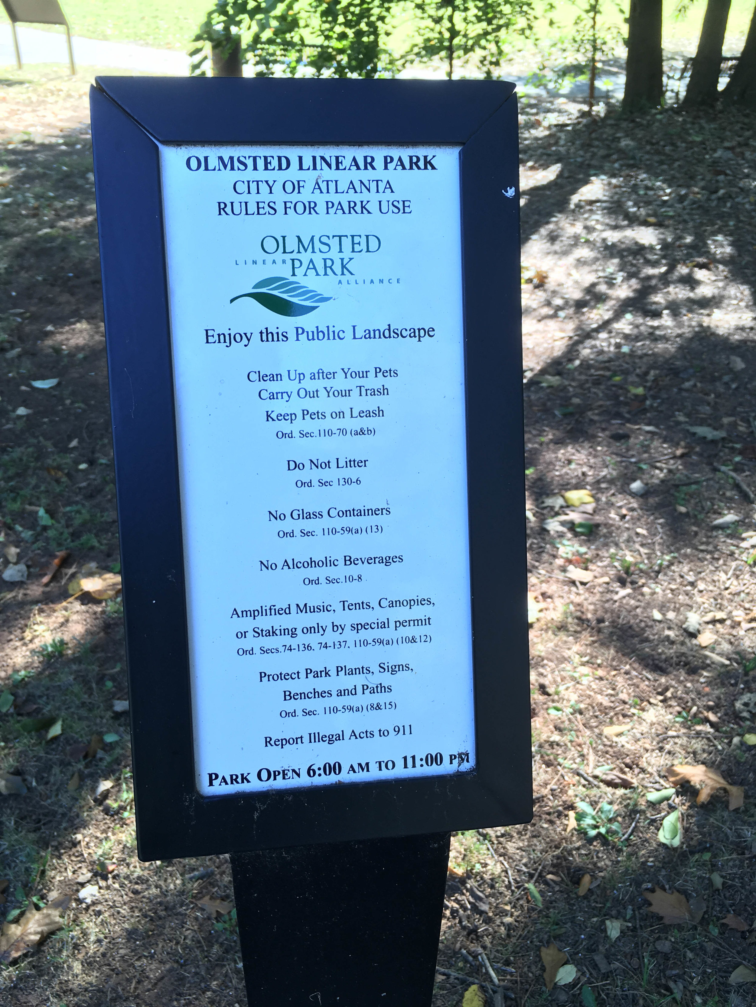
Hours: 6am to 11pm
Miles from downtown Atlanta: 8
MARTA directions: The number 5 bus runs between Dunwoody and Lindbergh stations and stops right outside Blue Heron (Lakemoore Drive or 4090 Roswell Road stop)
Parking: There is parking available at 4055 Roswell Rd (the office/school) and just north of there at the community garden. There is also street parking available in the neighborhood.
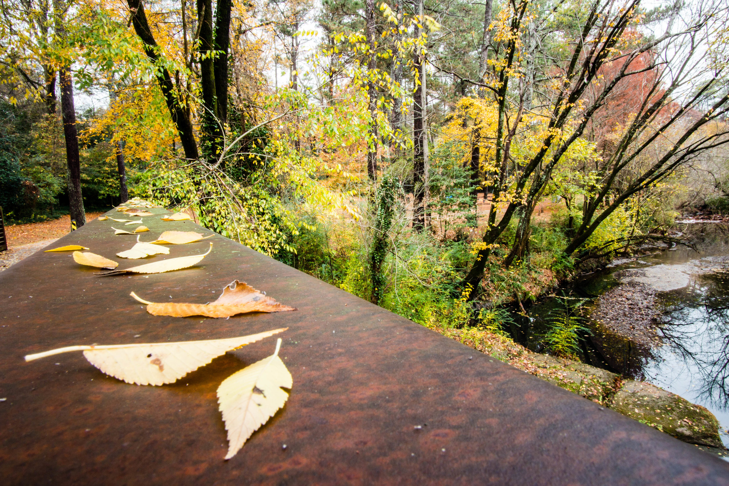
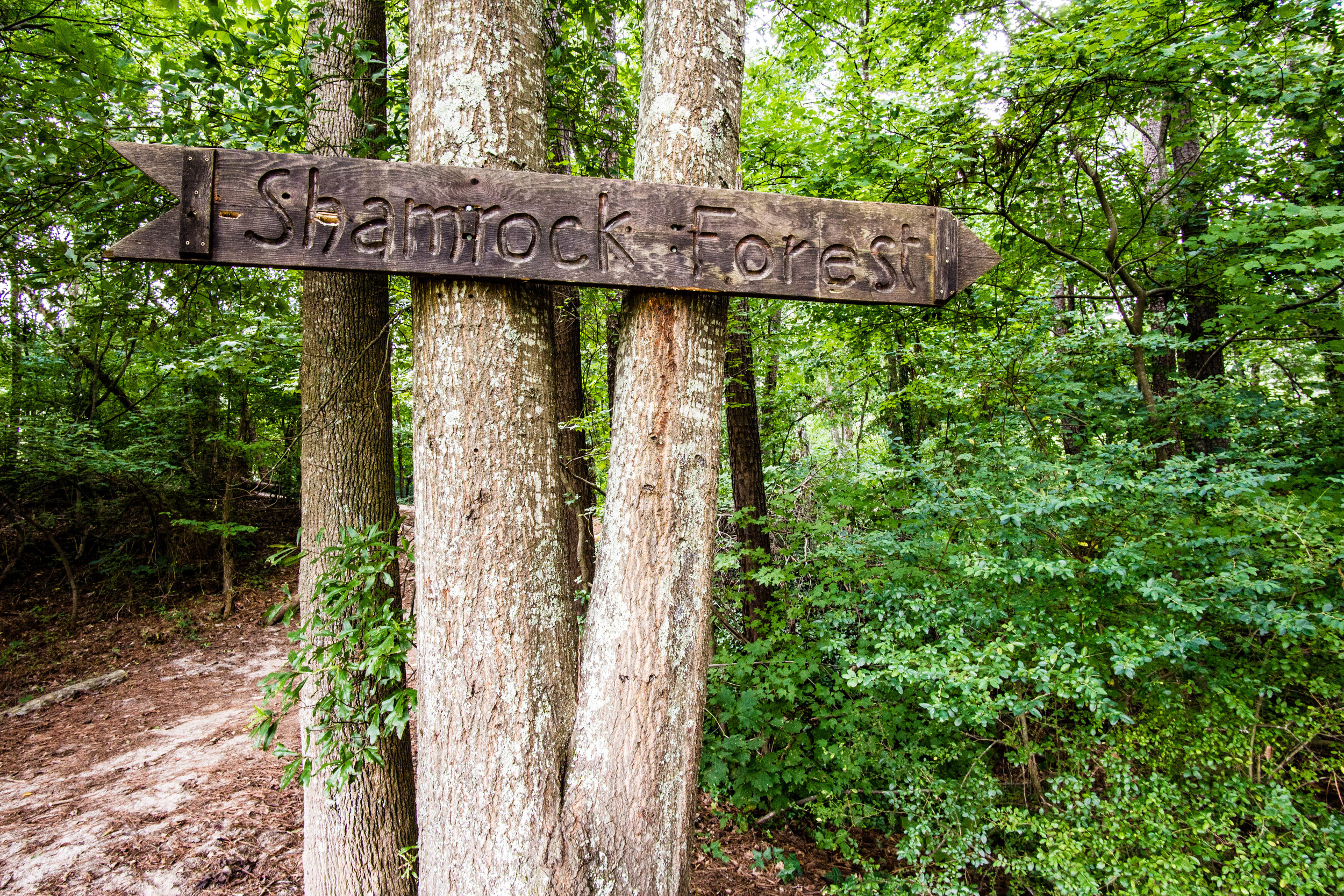
Trailhead(s): There are many trailheads. There is a trailhead from the parking area off Roswell Rd. as well as other trailheads on Roswell Road, Lakemoore Drive, Rickenbacker Drive, Emma Lane, and Land O Lakes Drive.
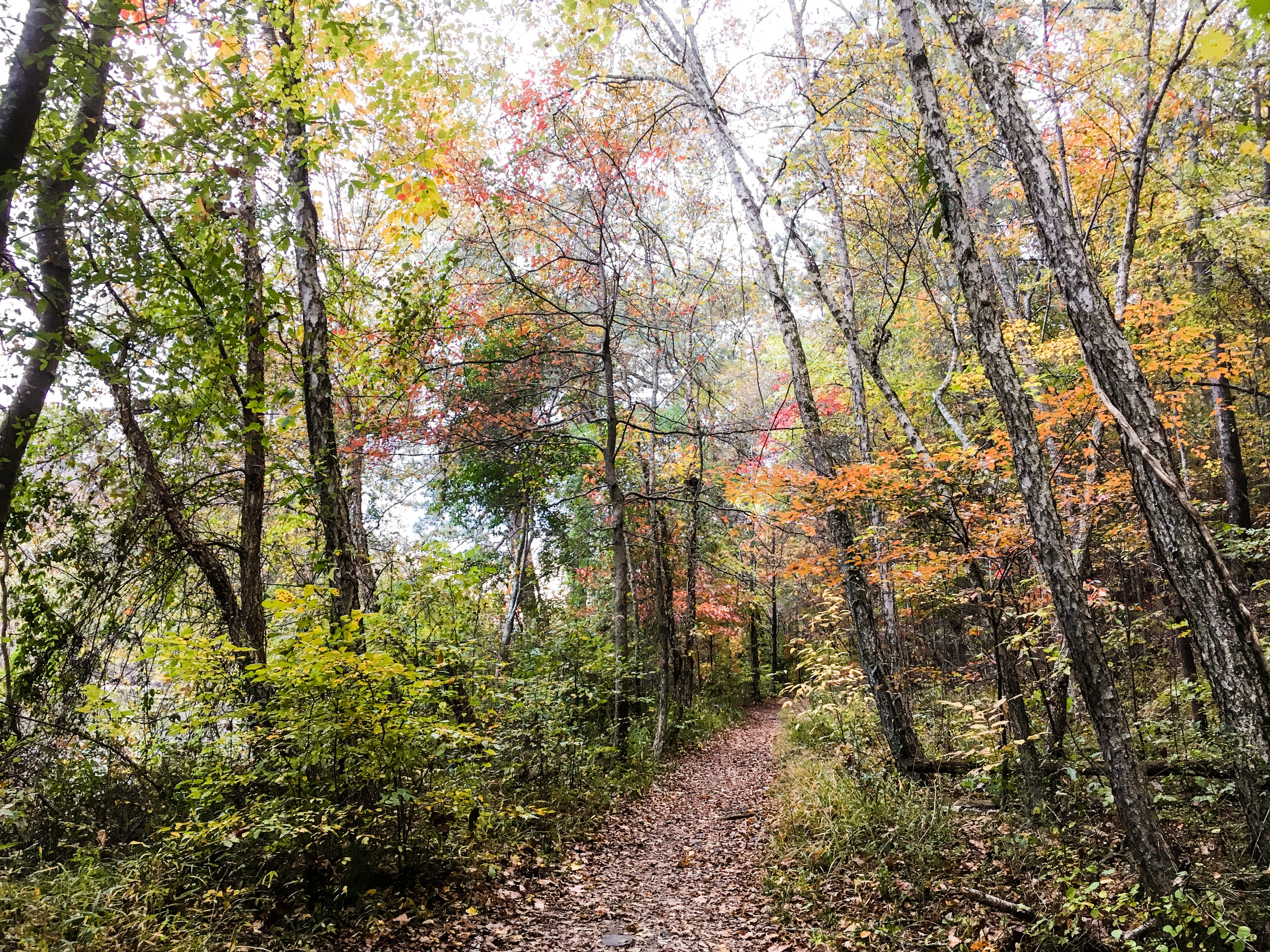
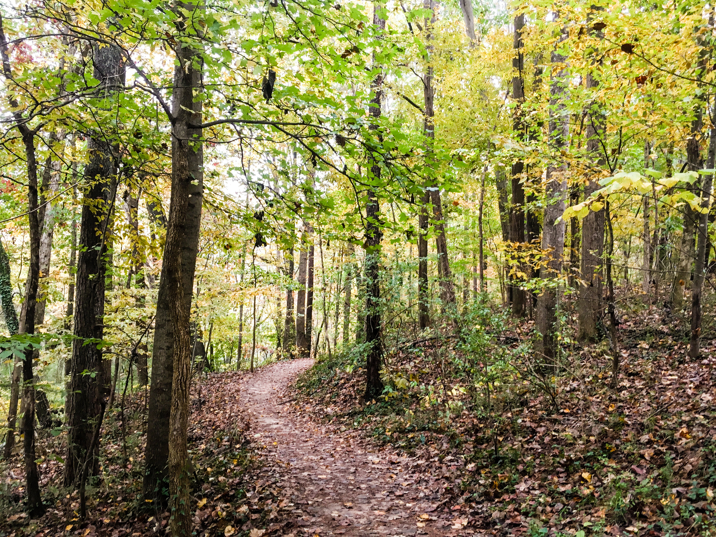
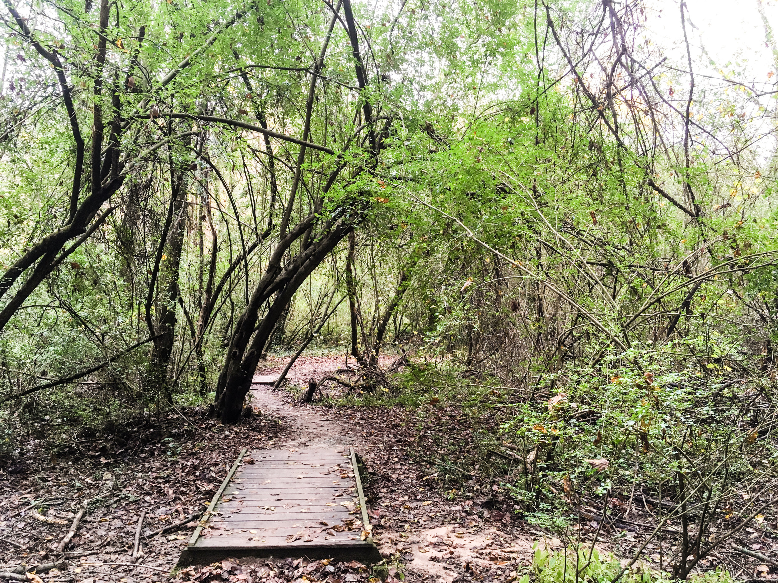
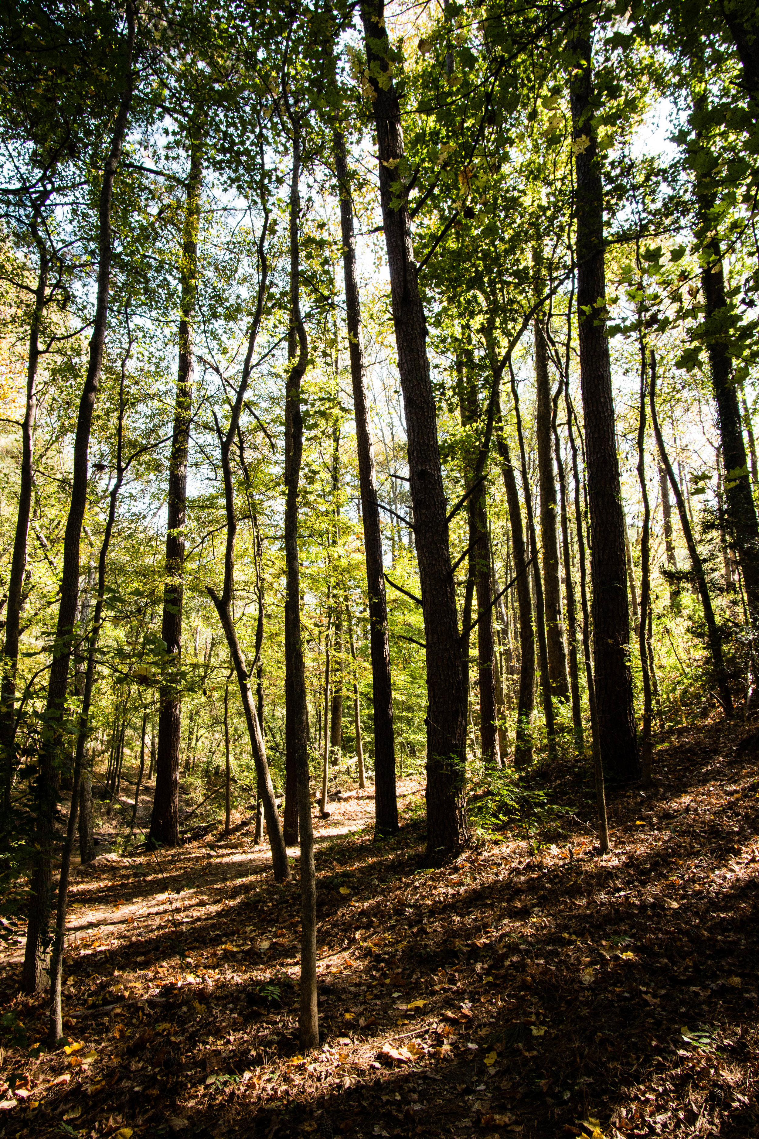
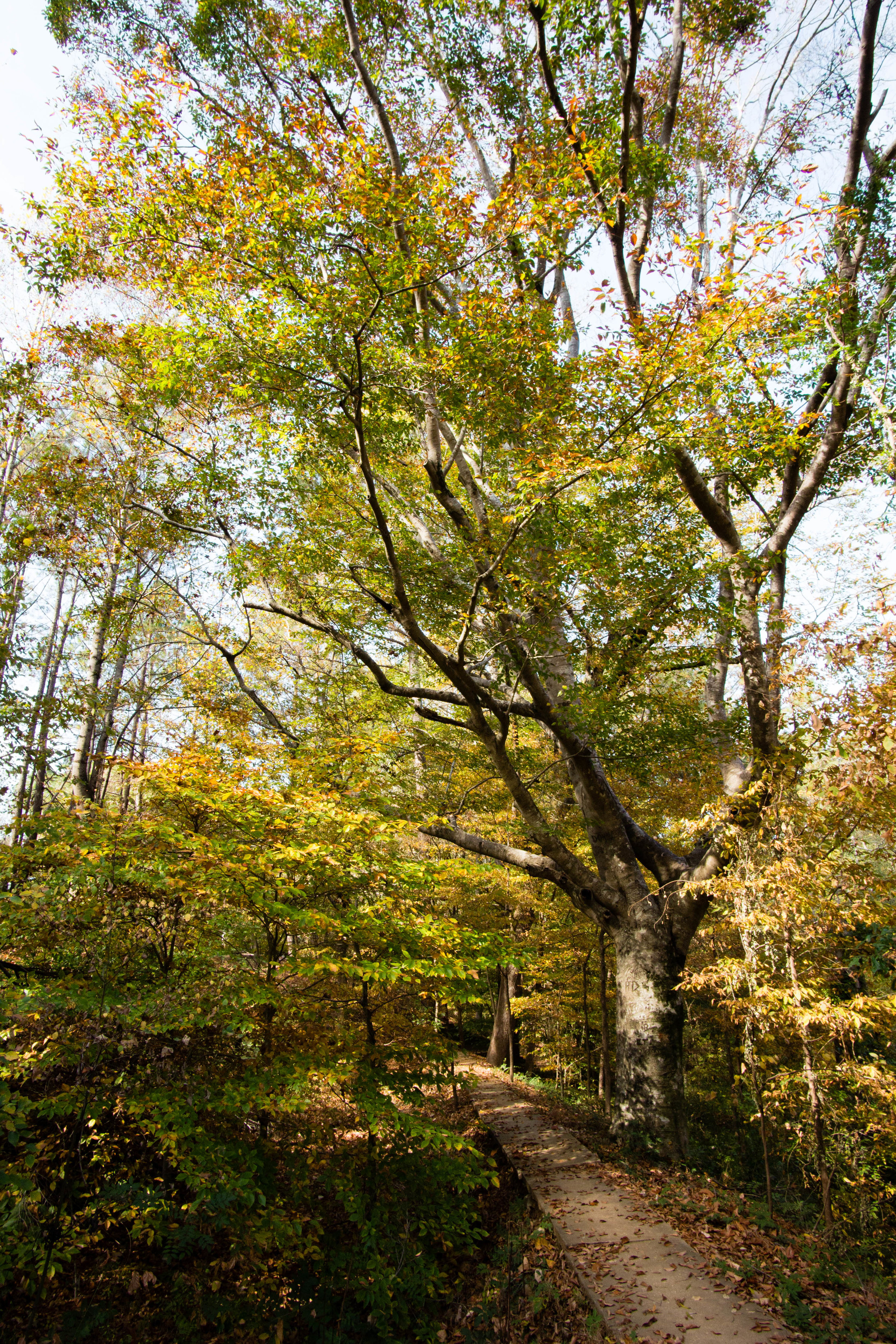
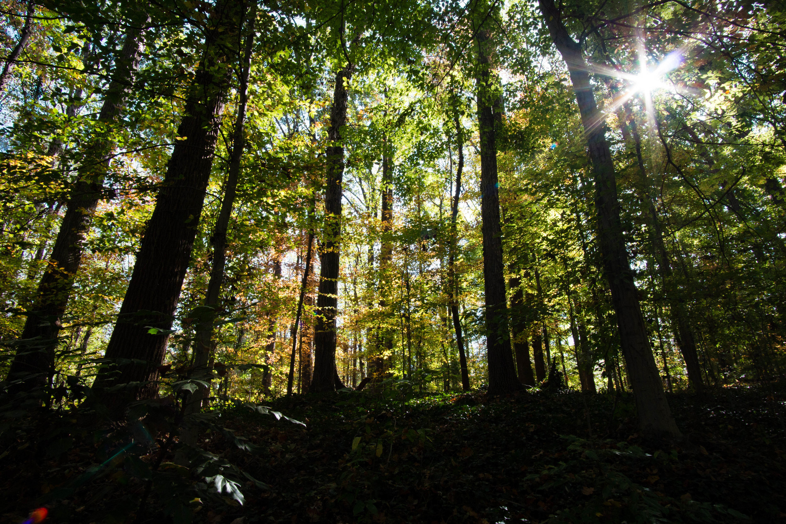
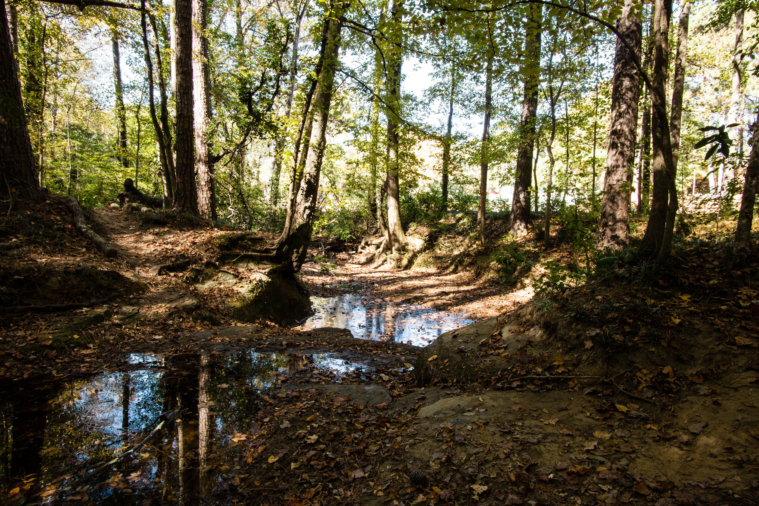
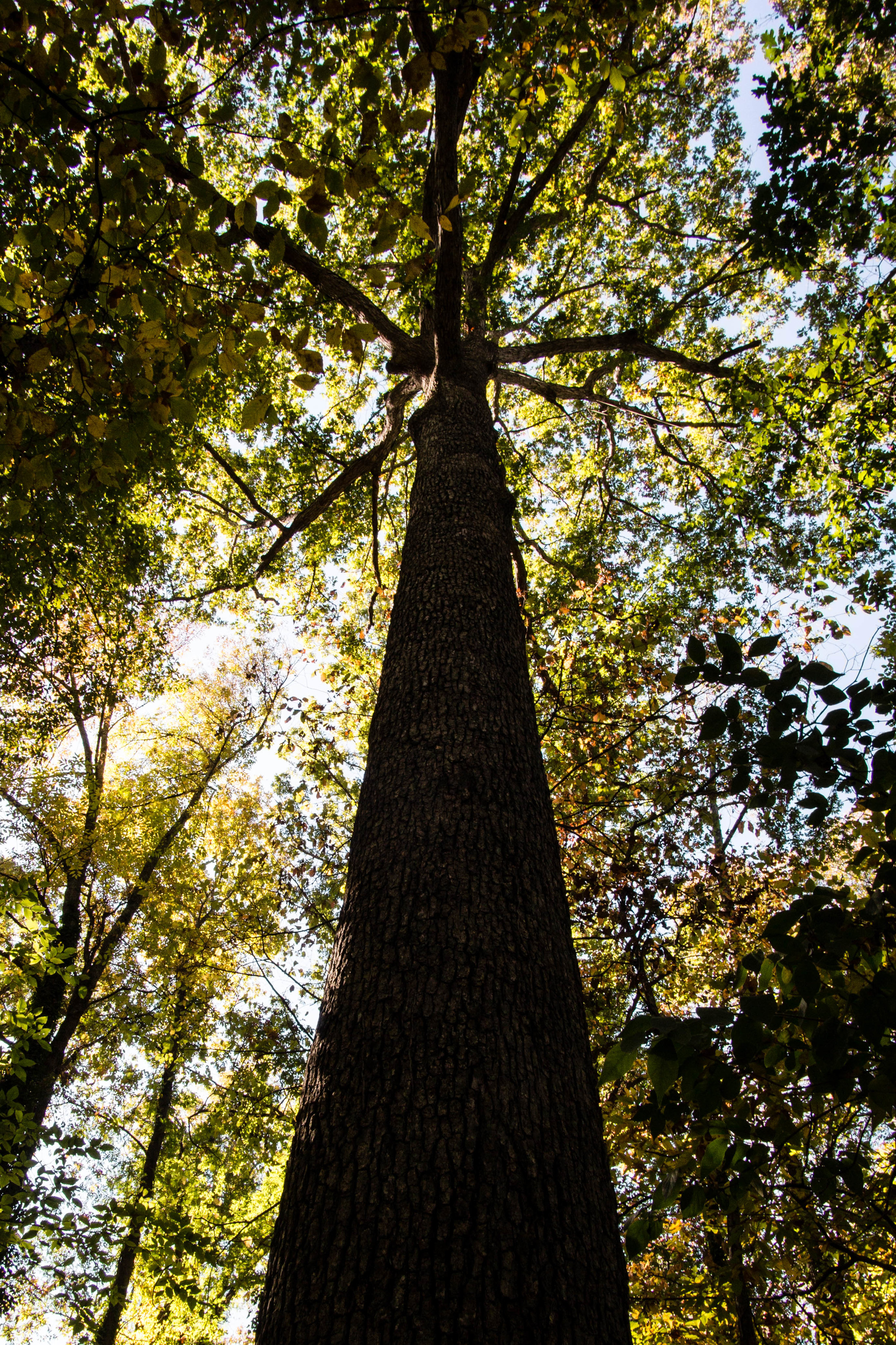
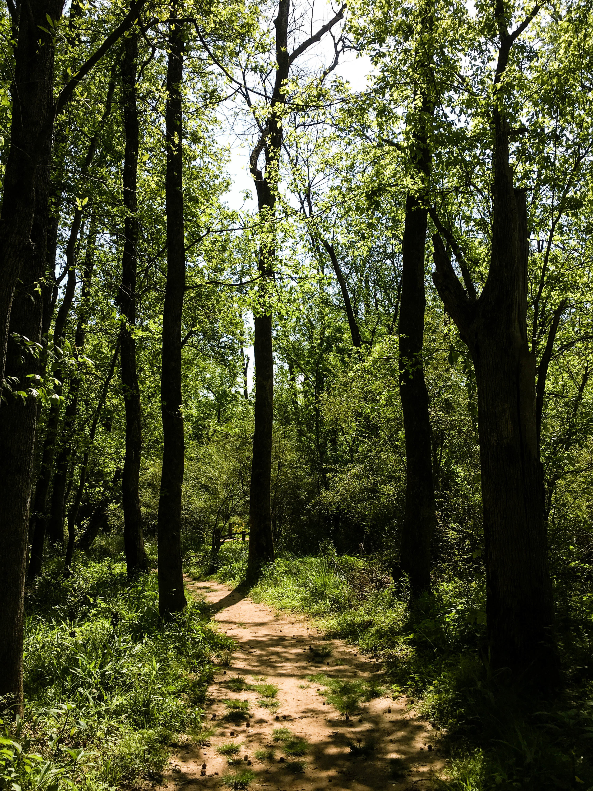
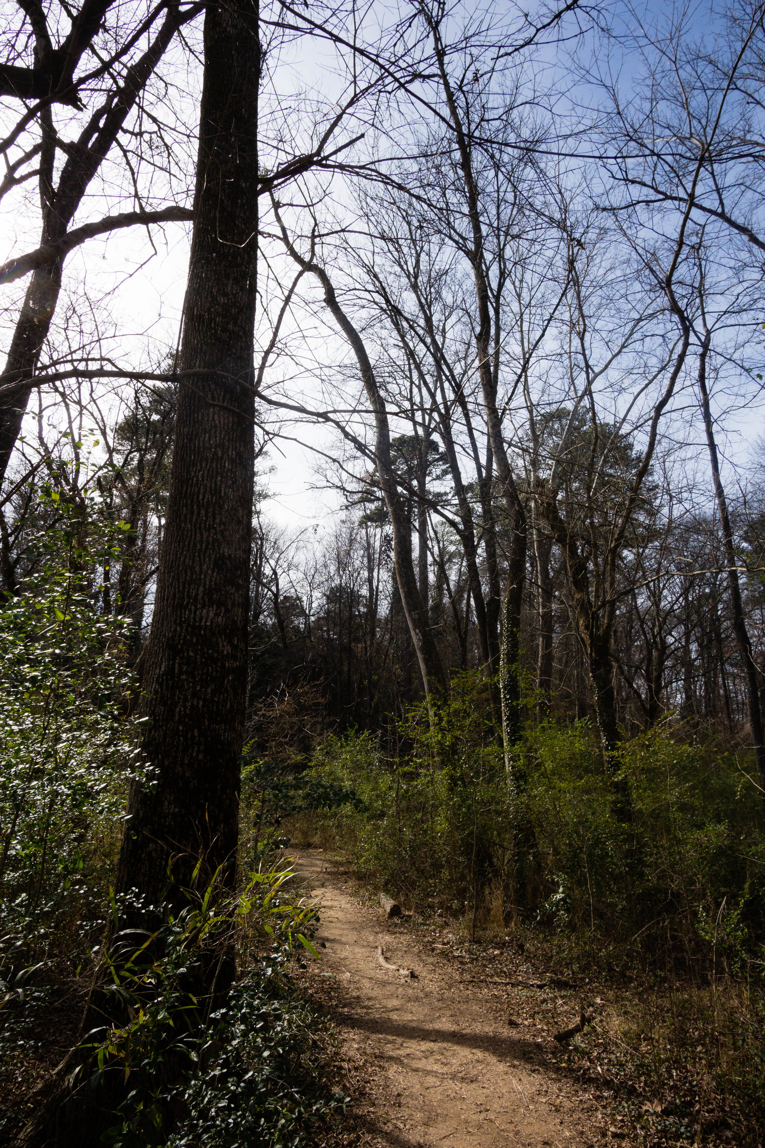
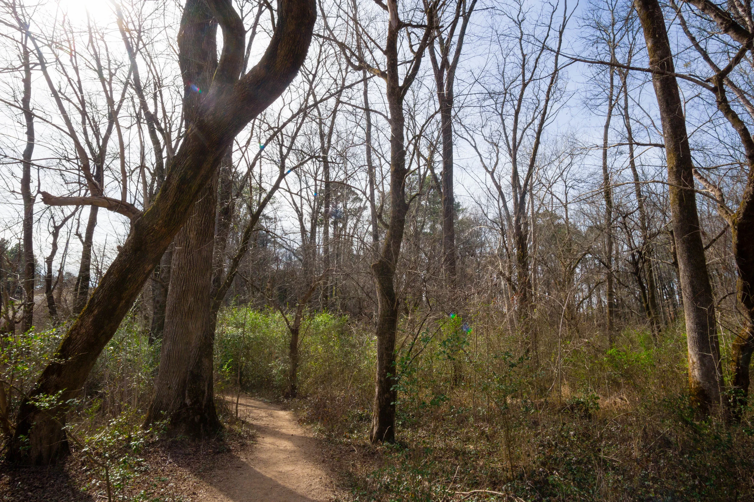
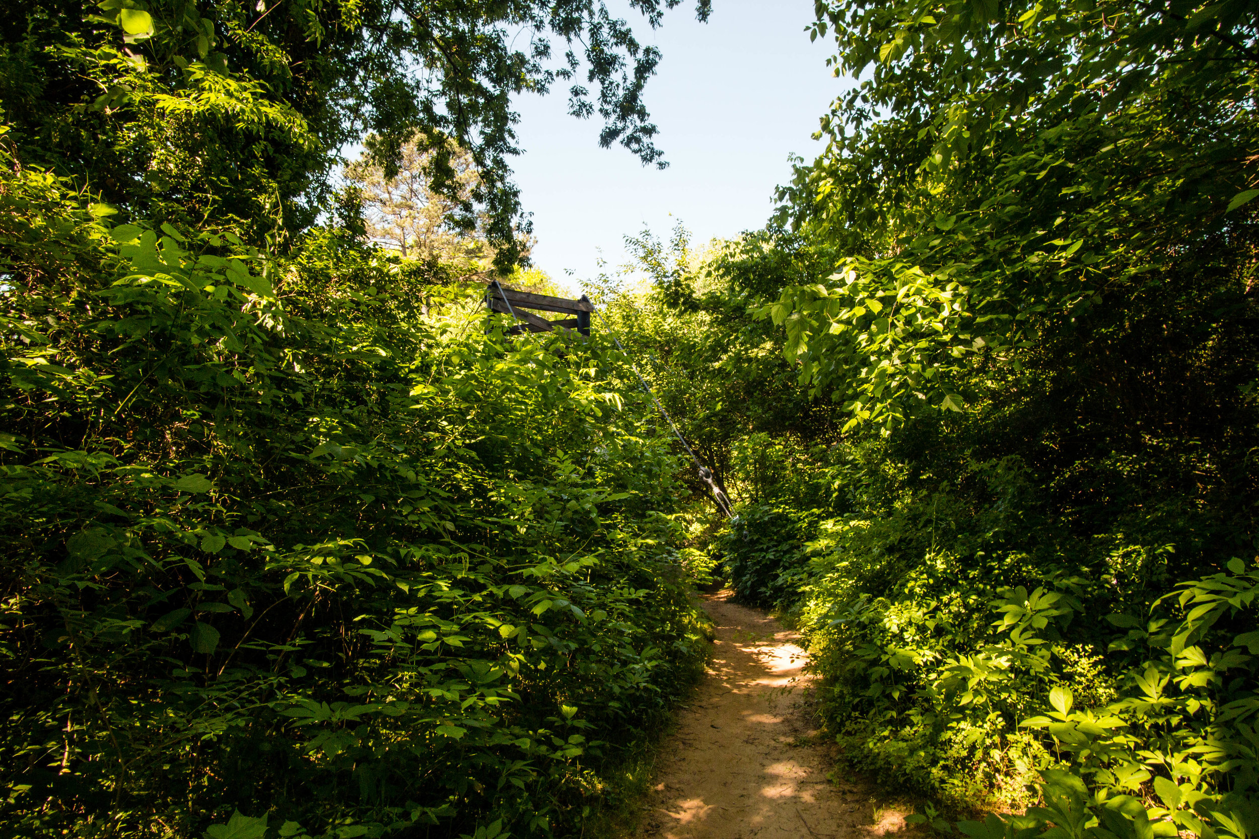
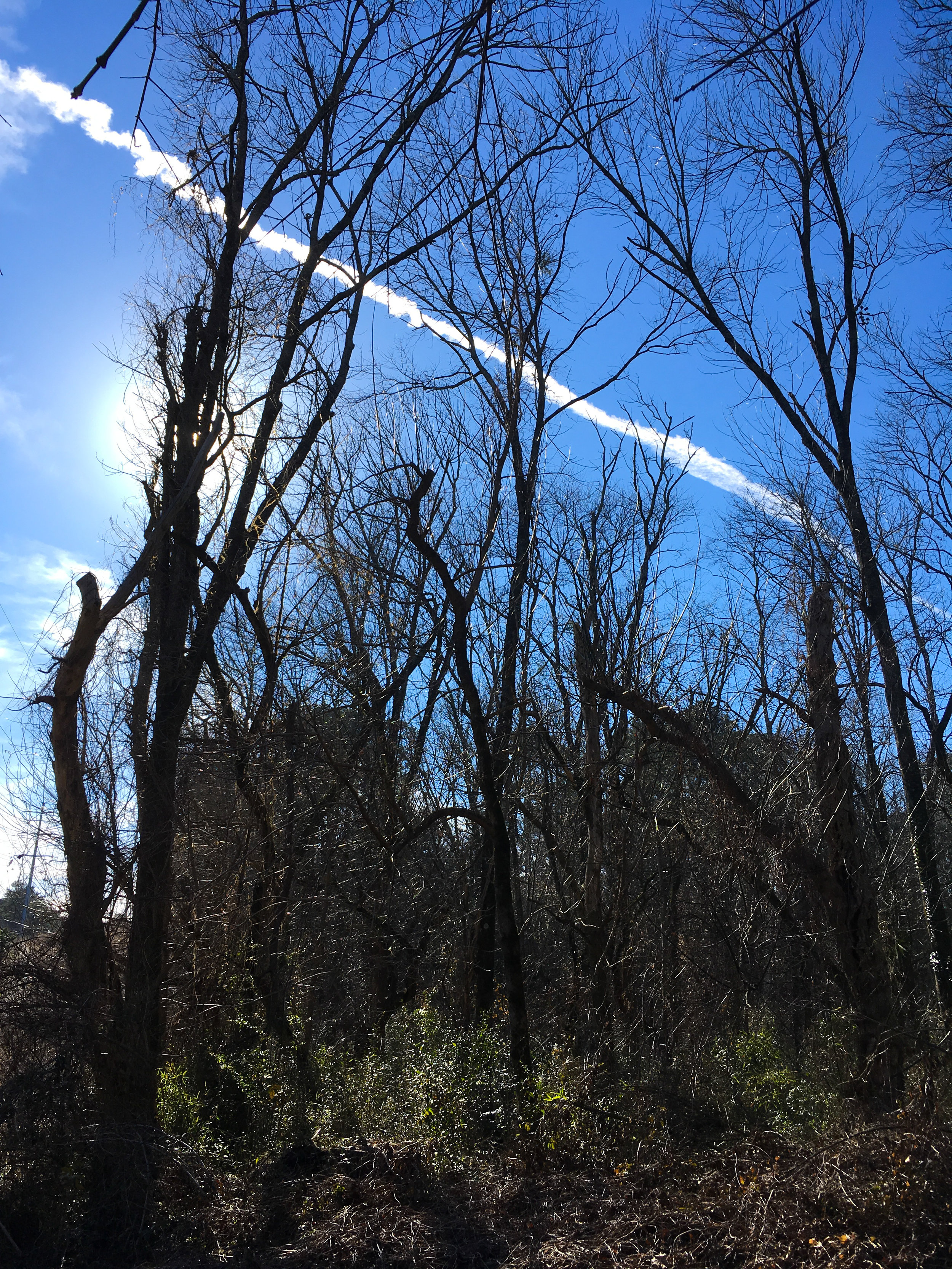
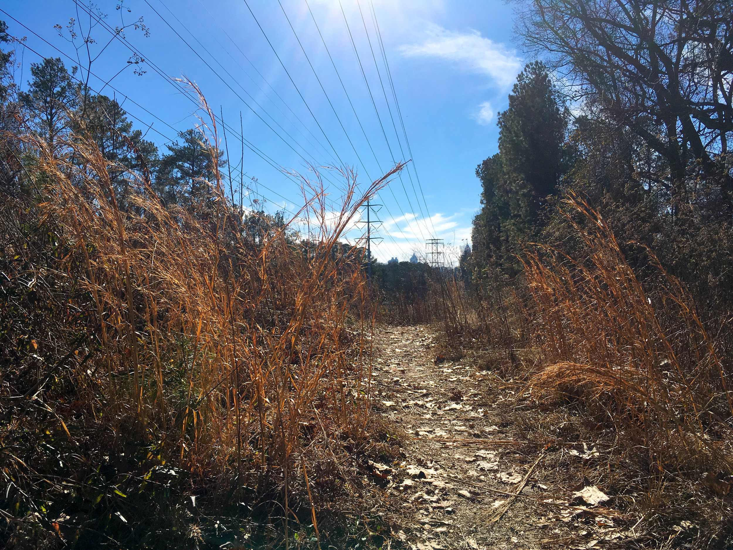
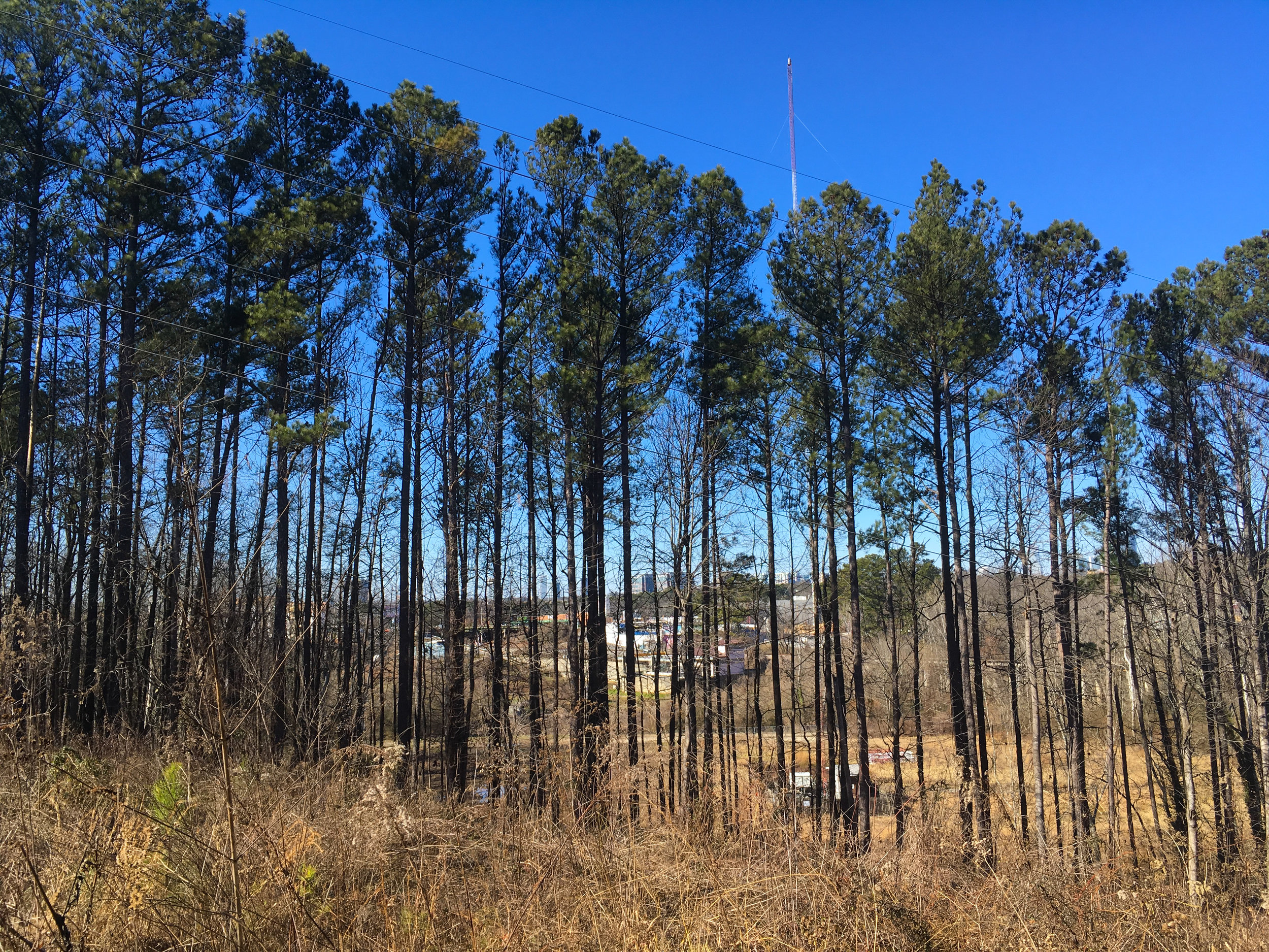
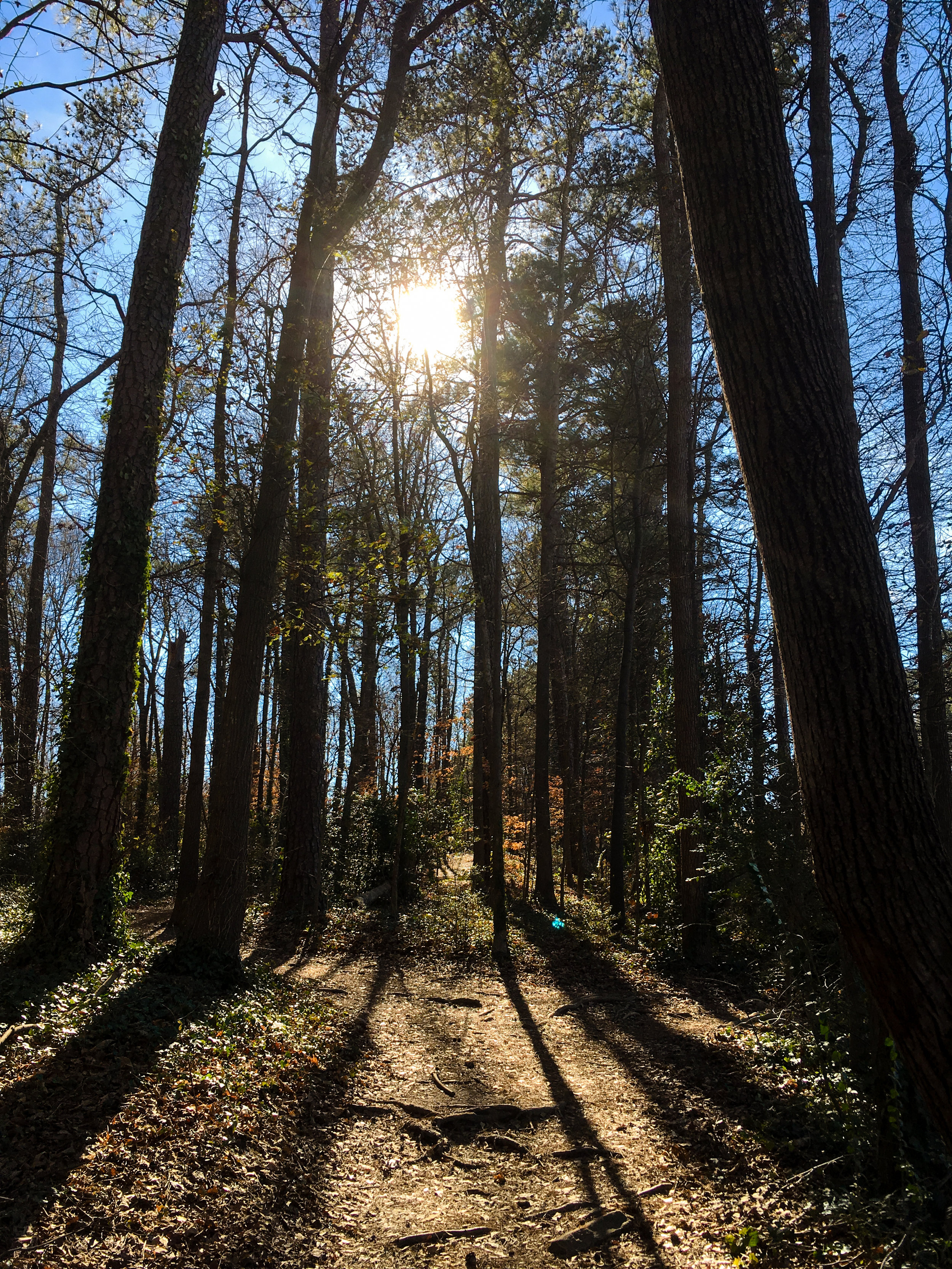
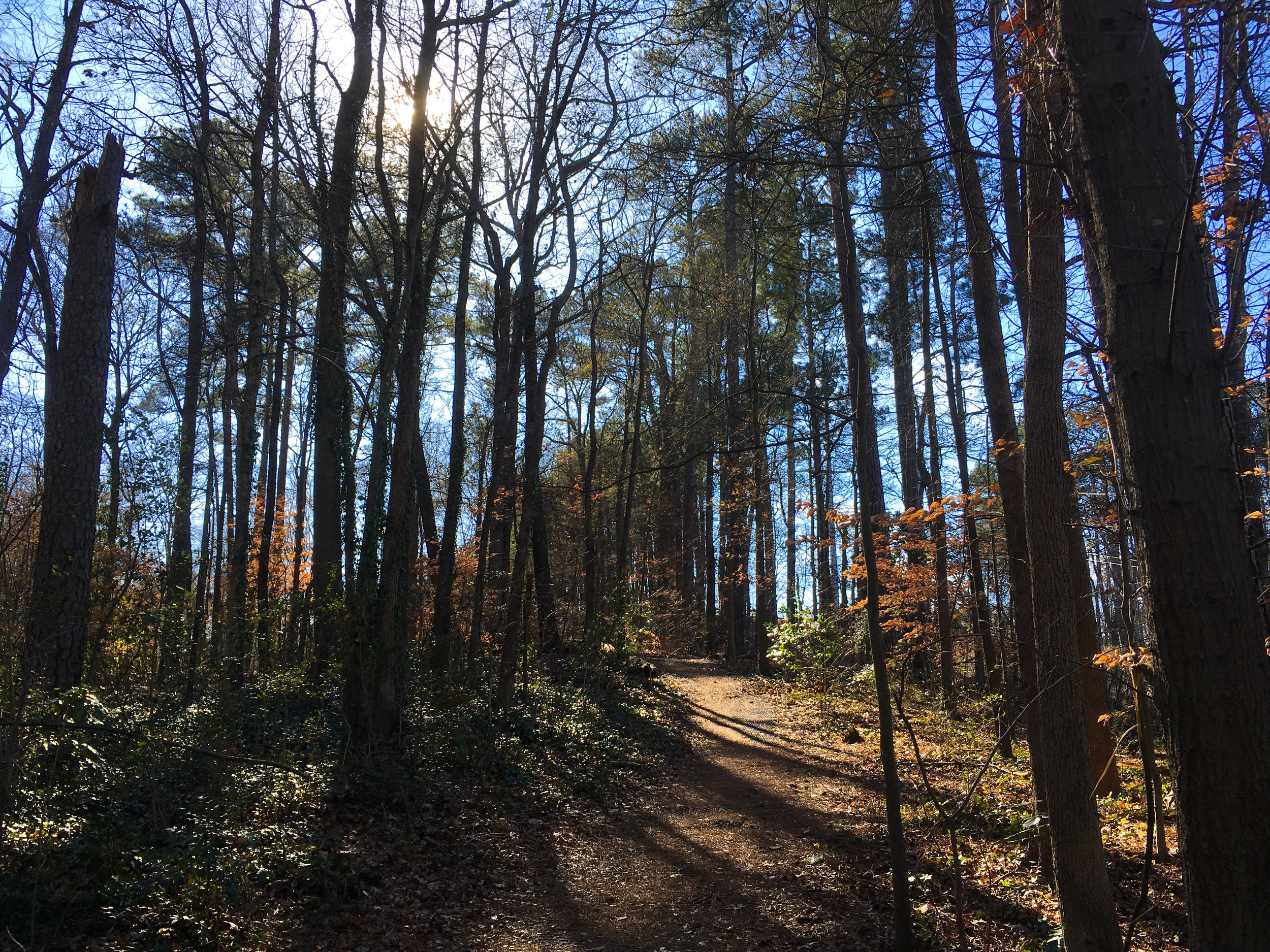
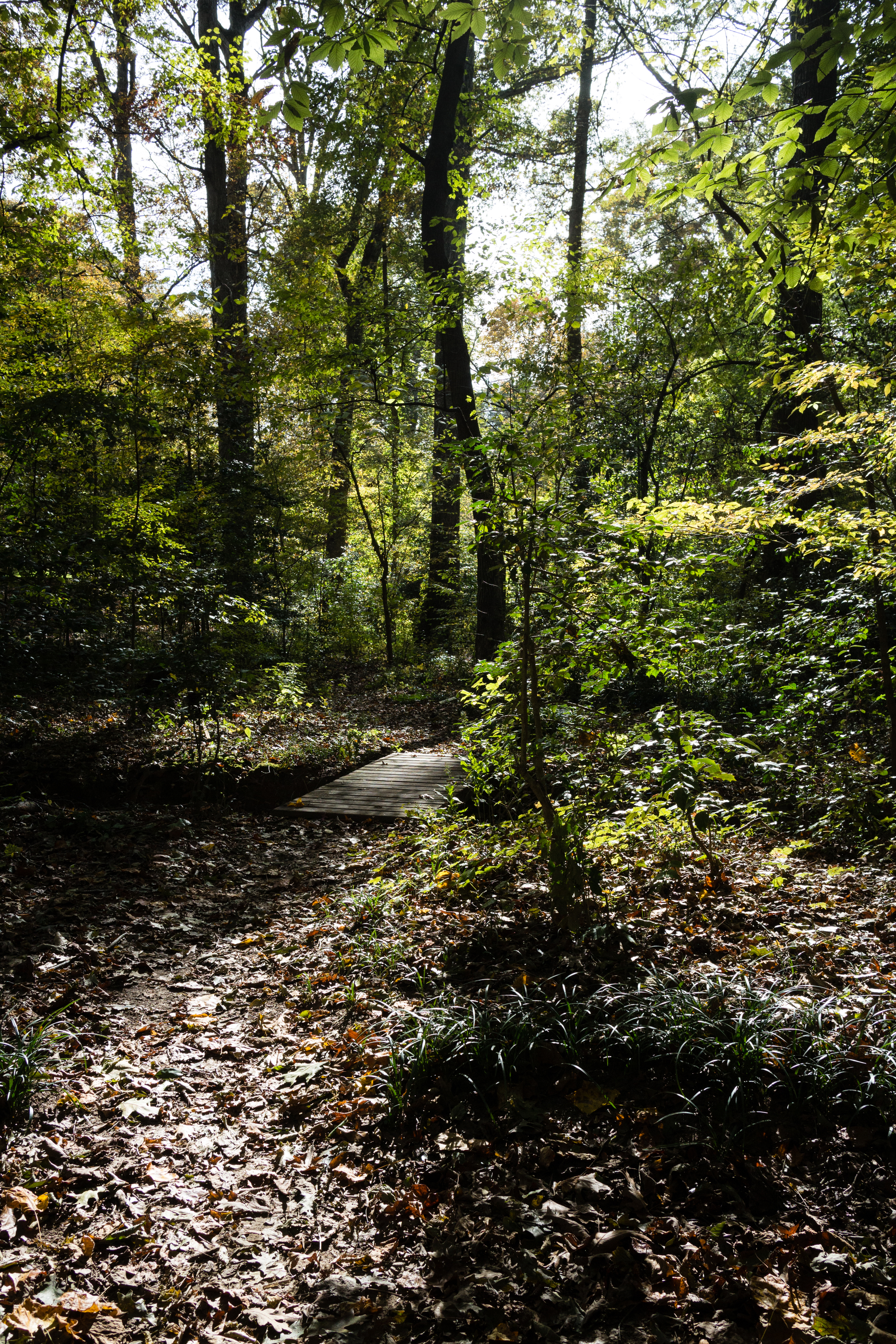
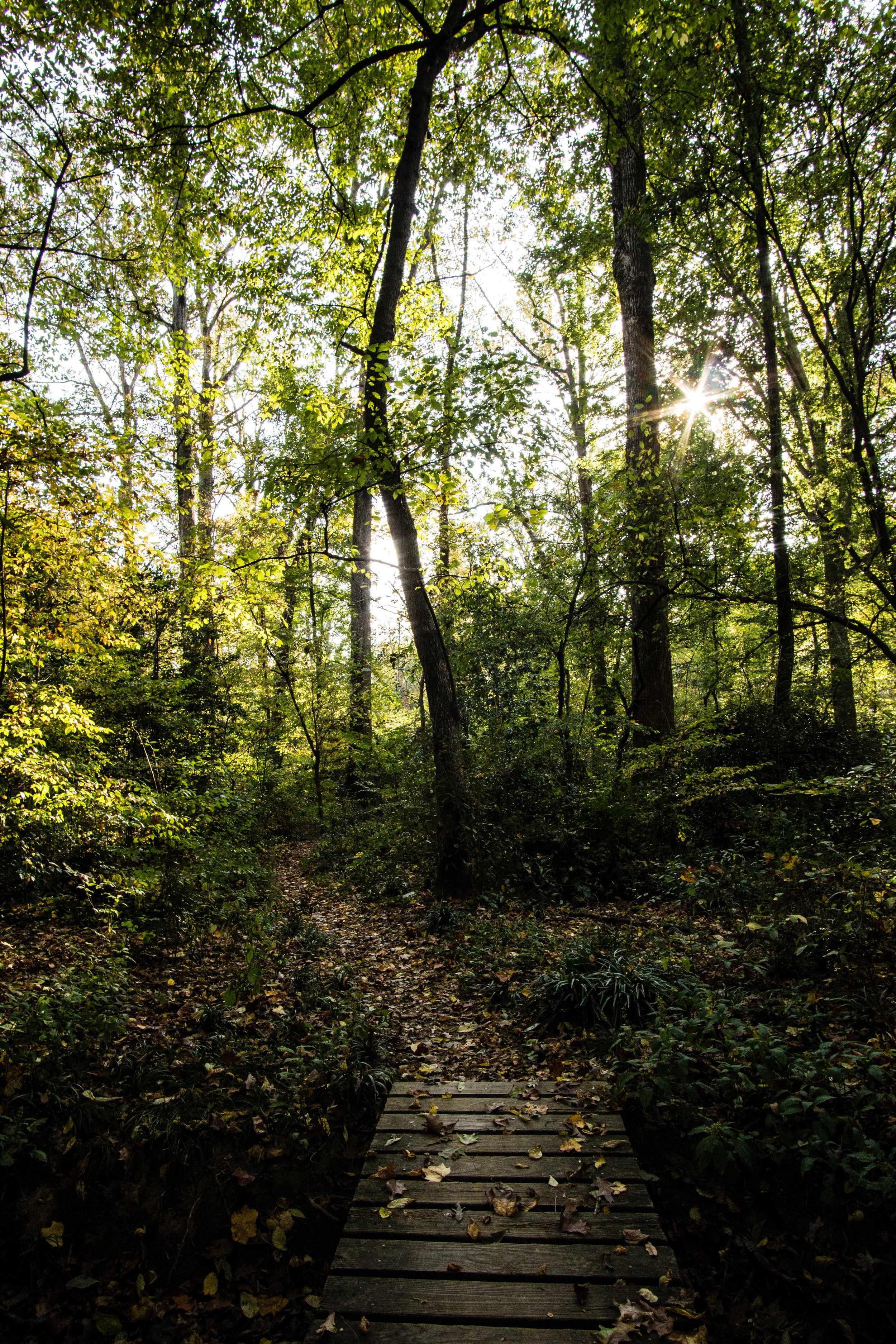
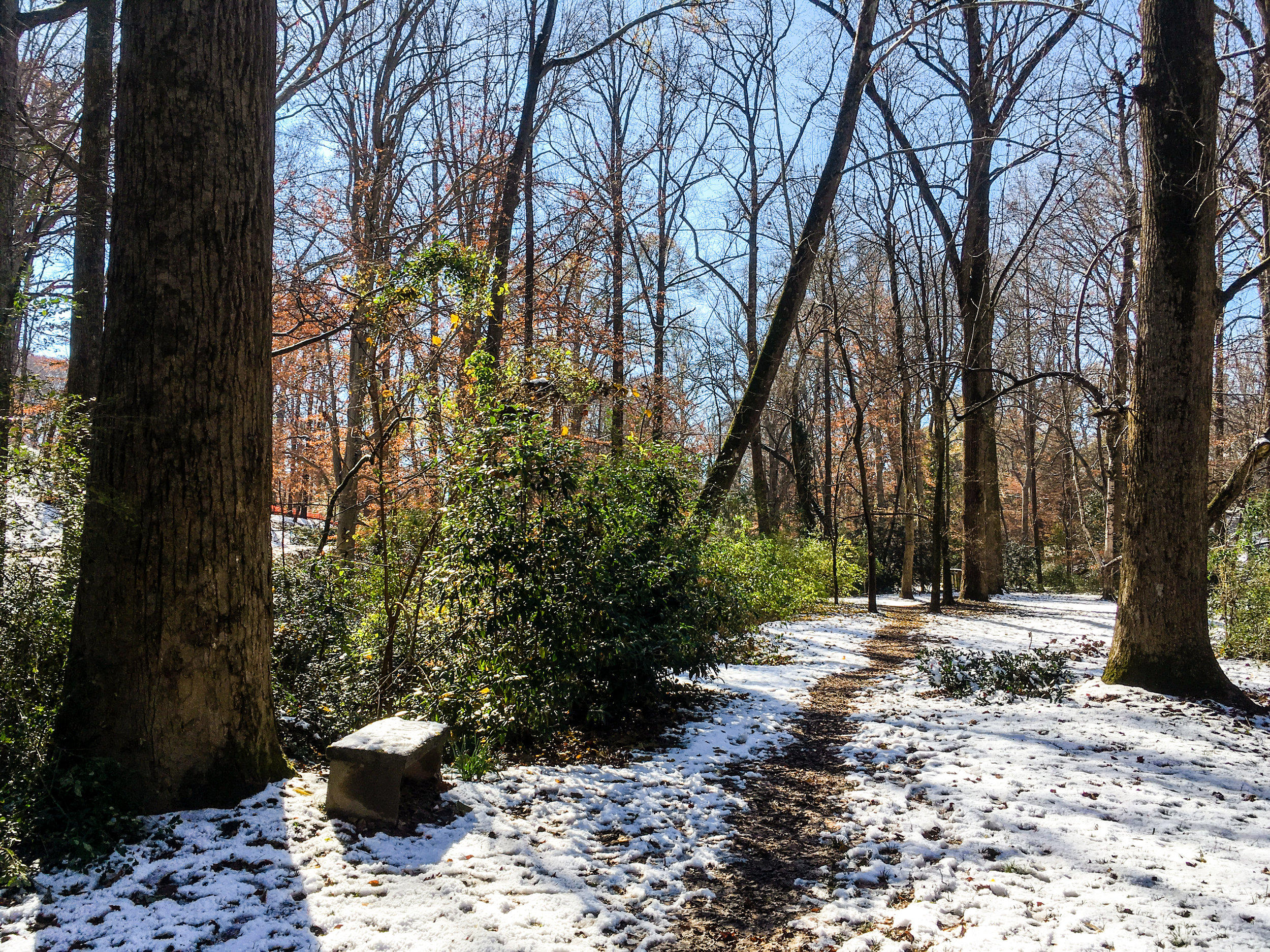
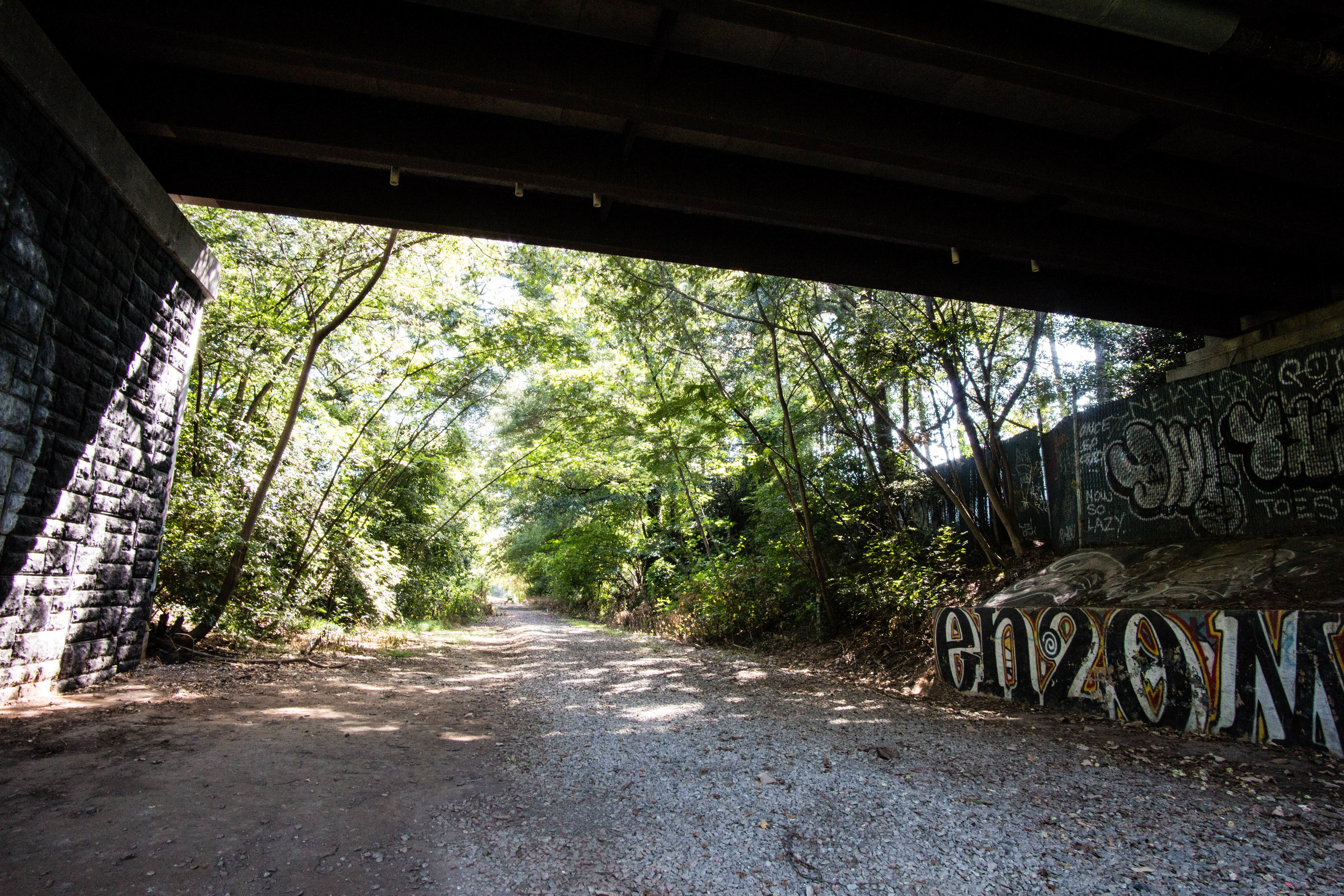
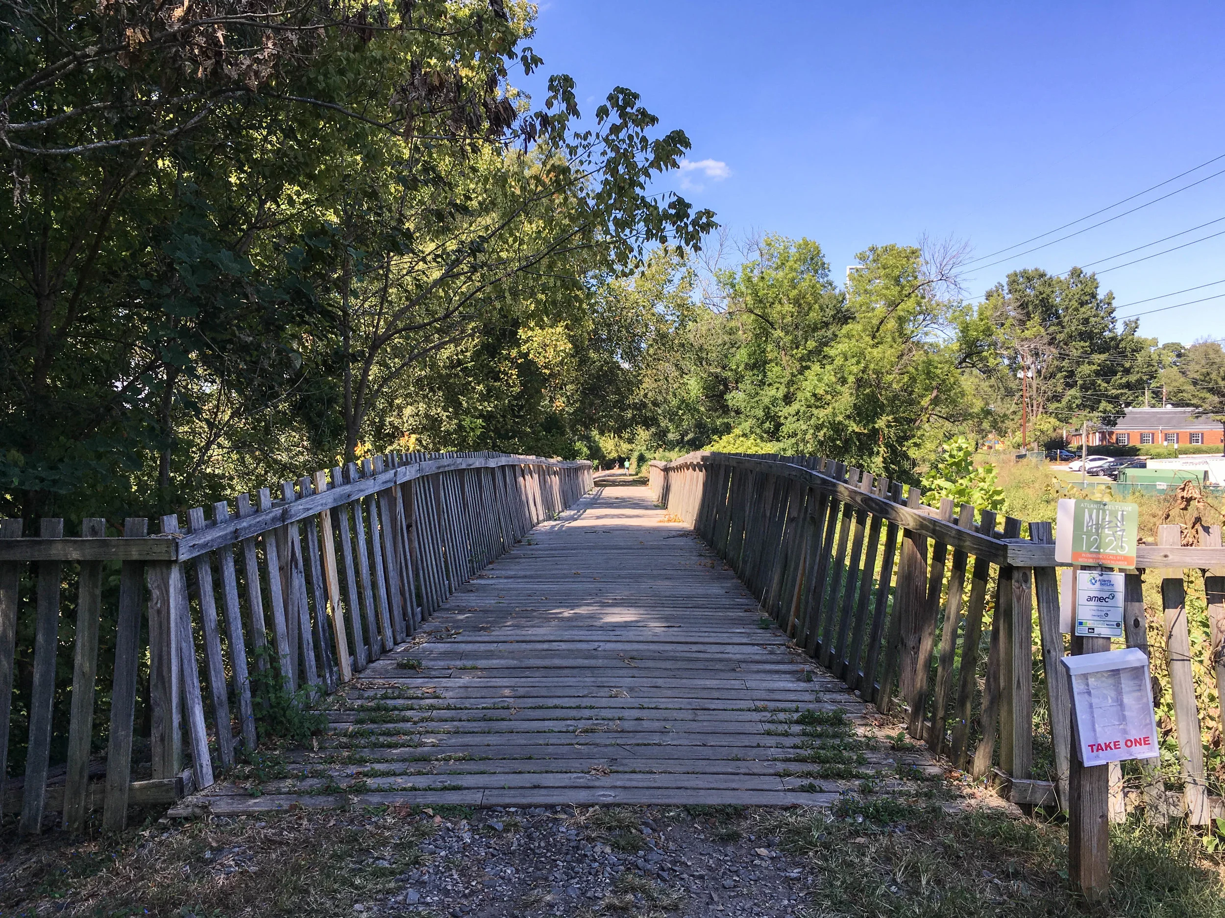
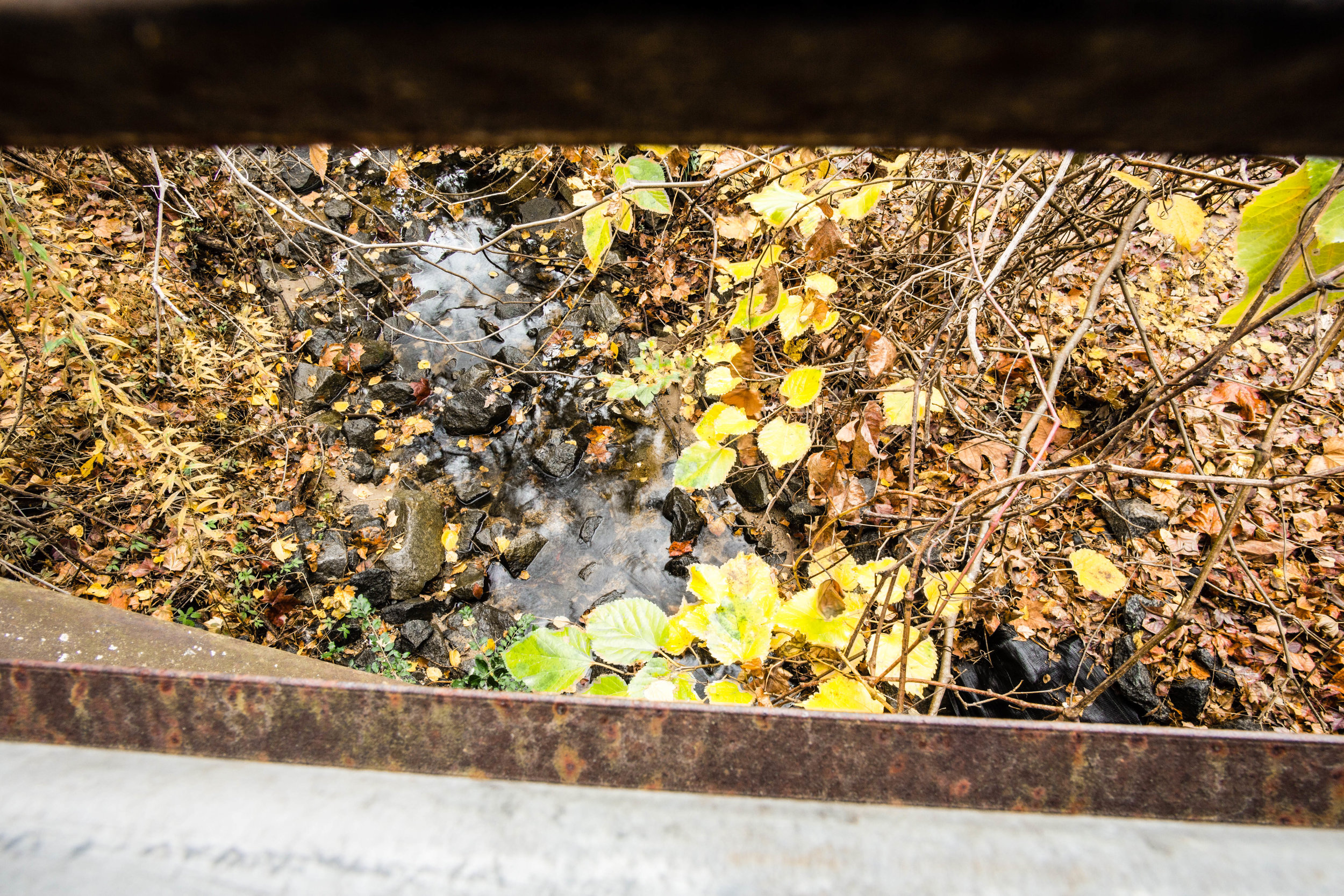
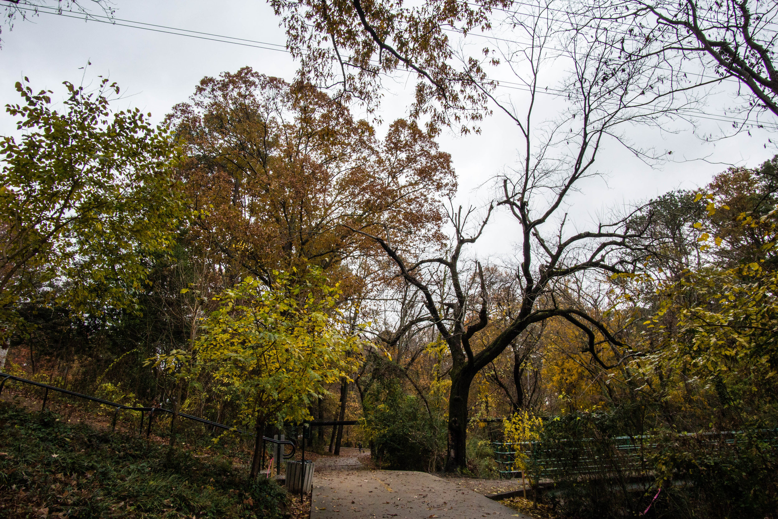
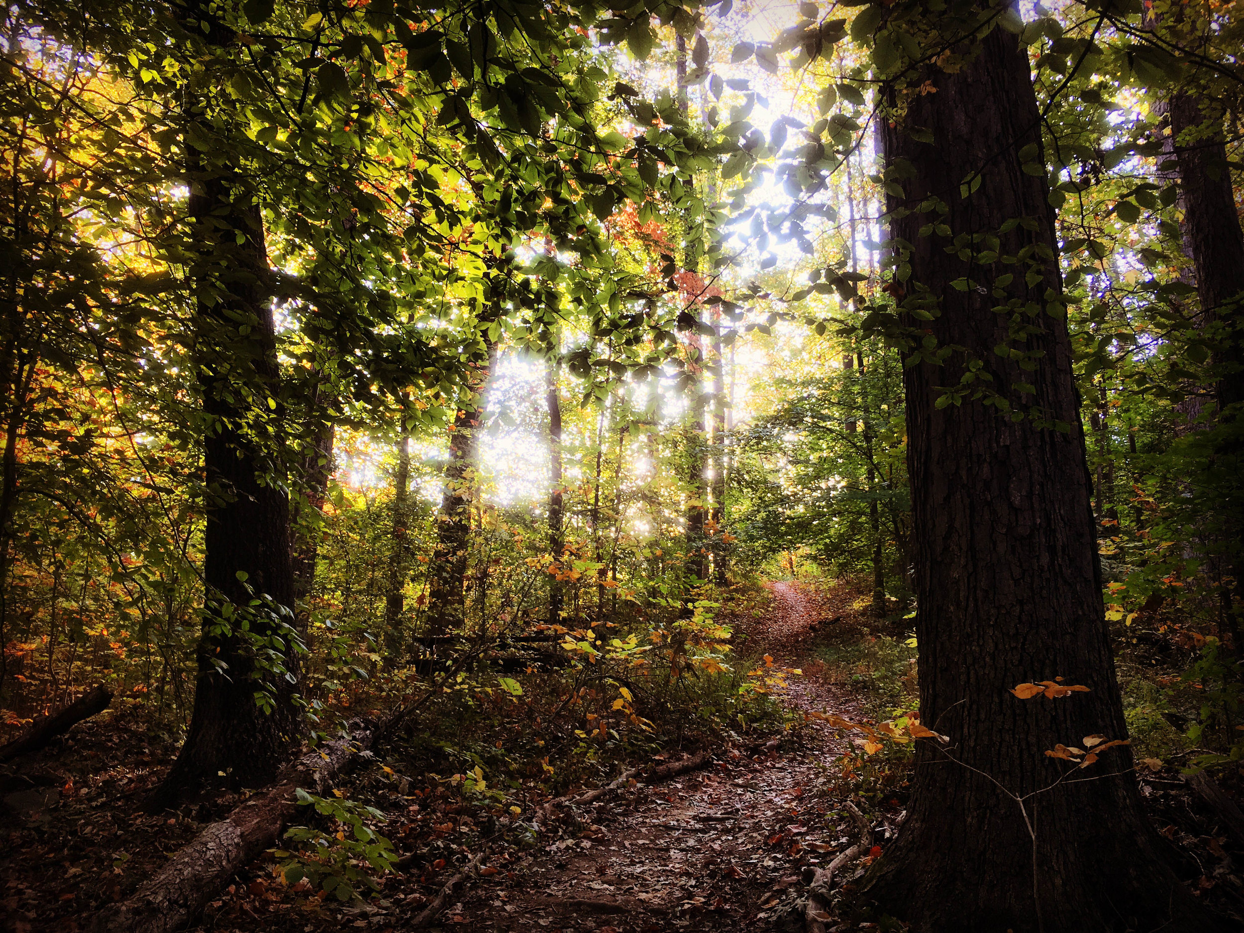
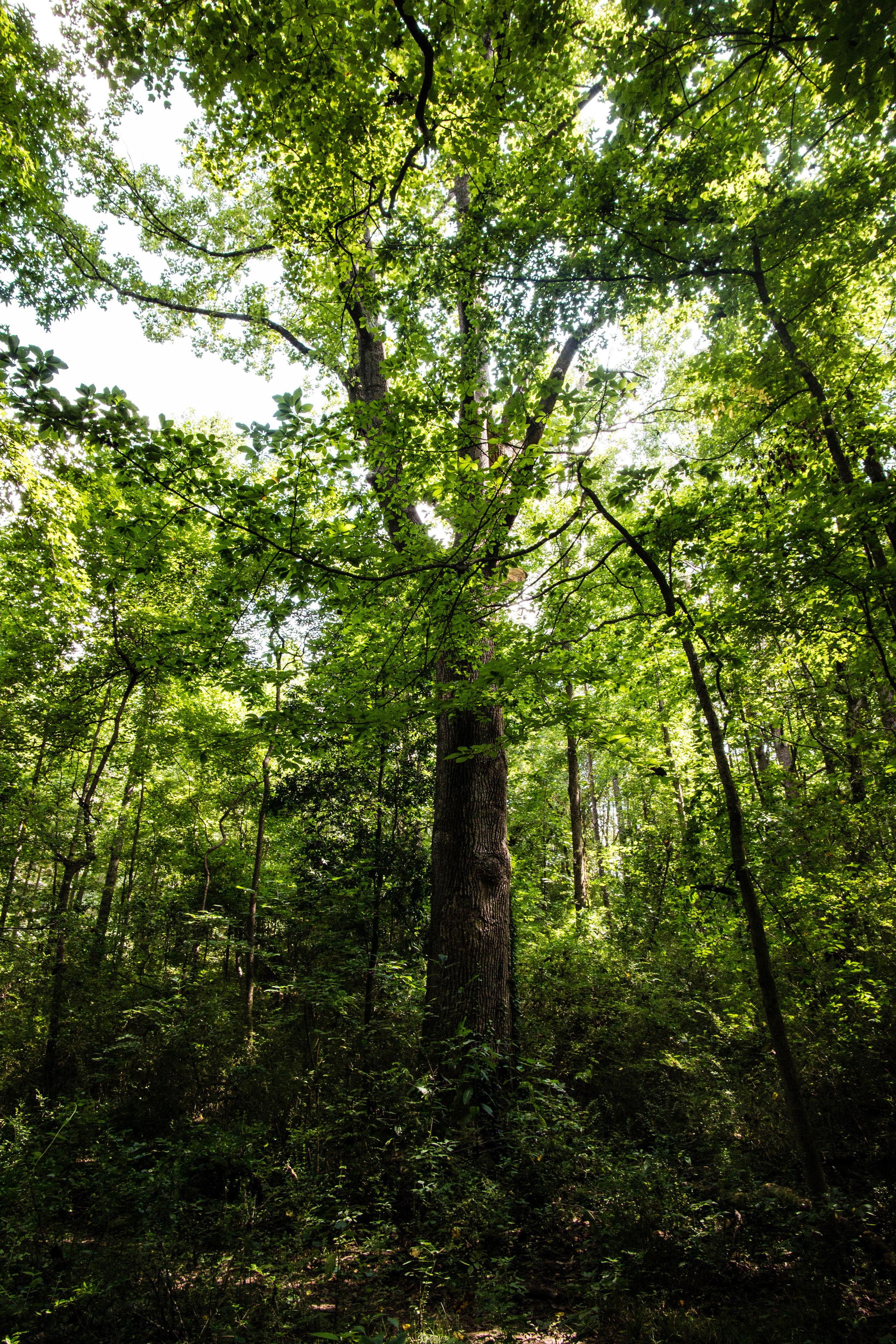
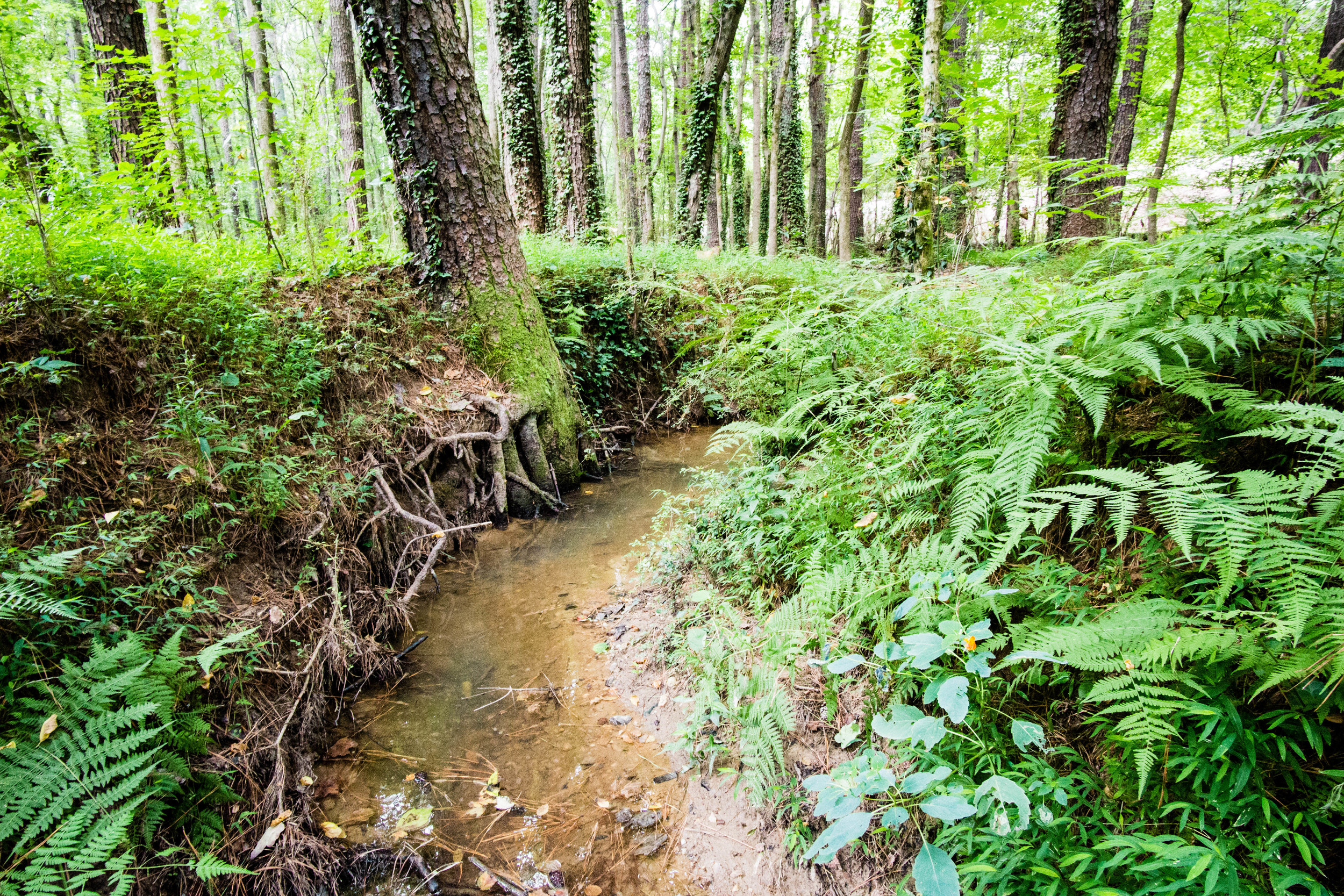
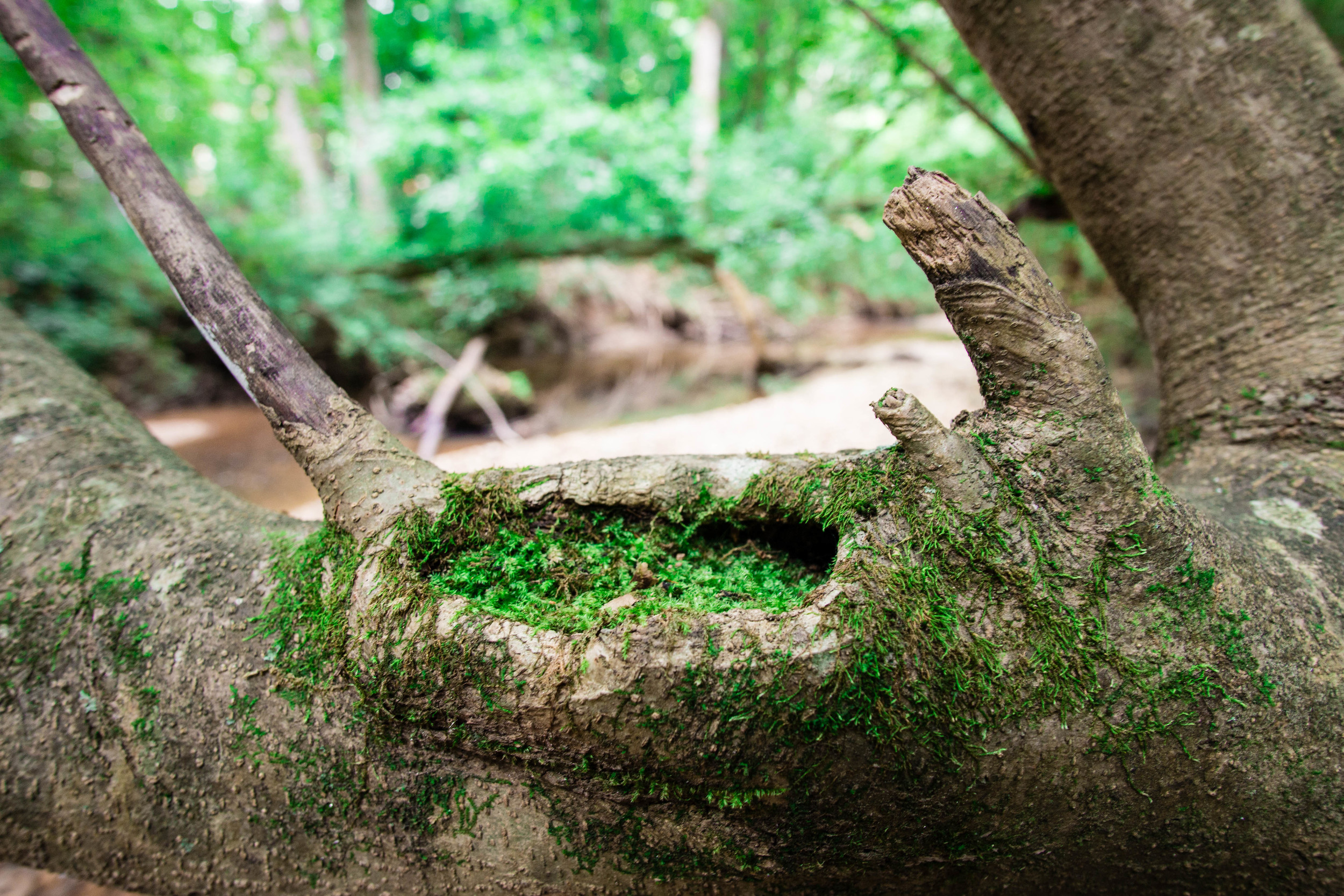
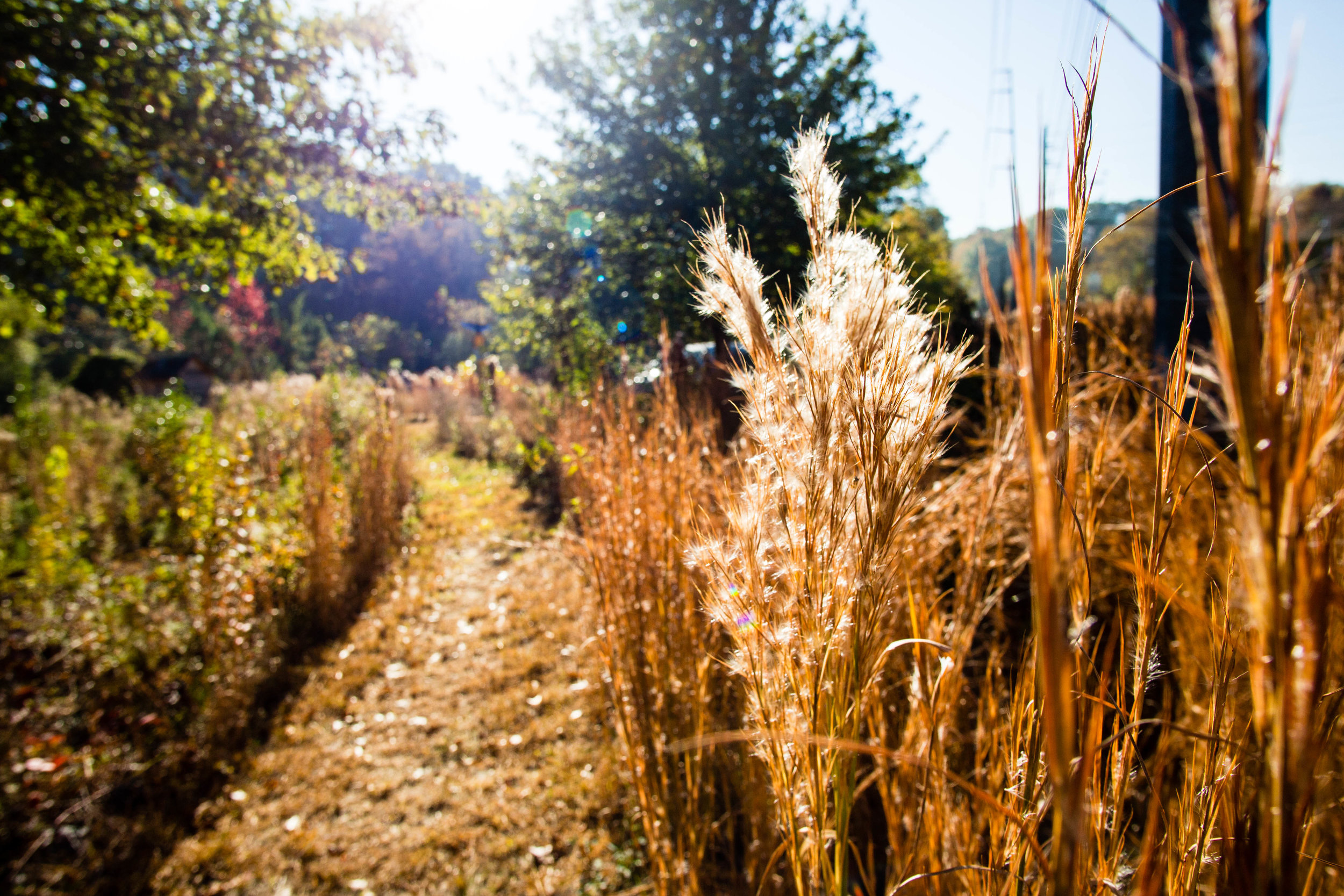
Trail surface: Natural
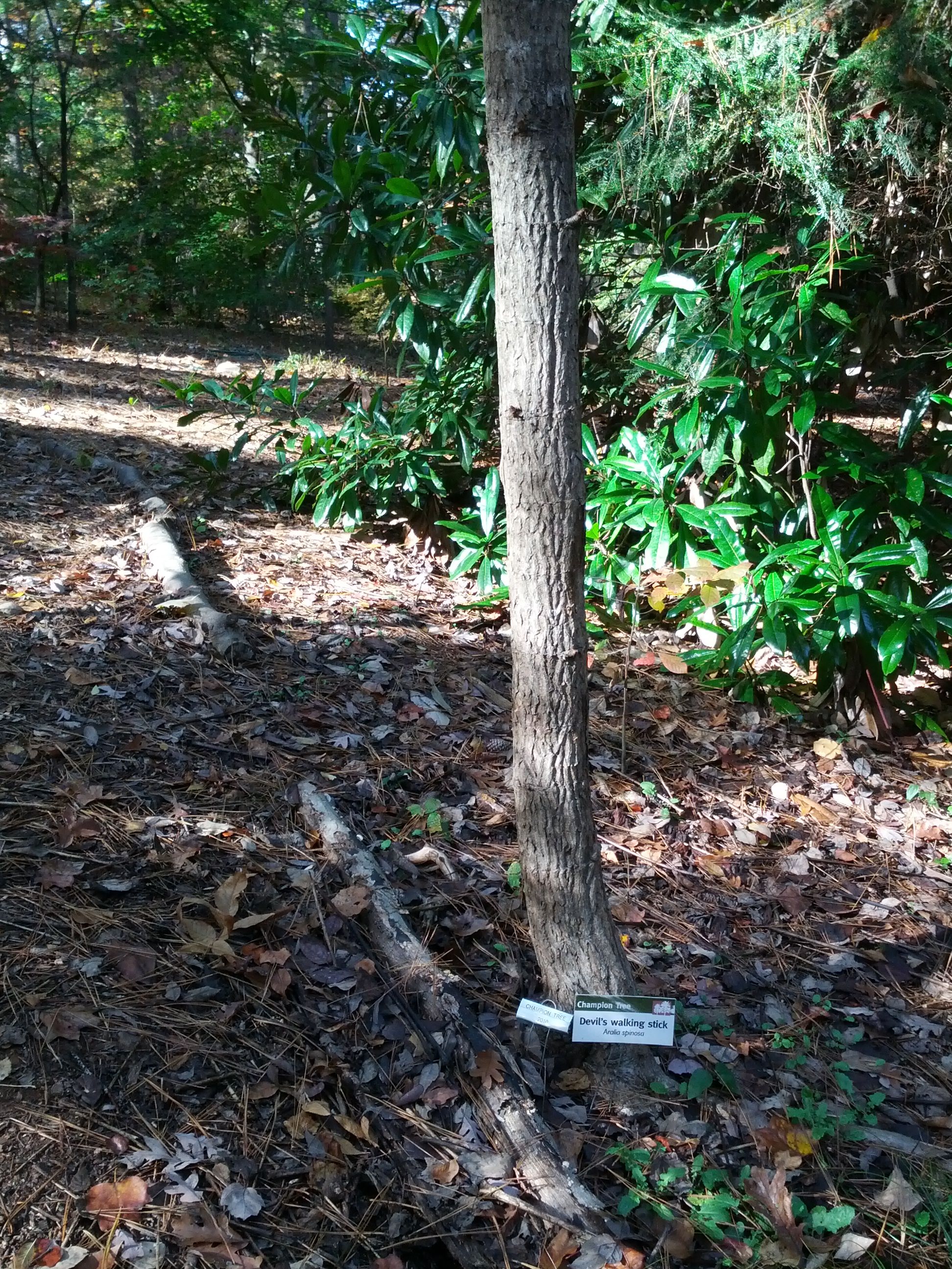
Guidebook mentions: Chapter 1 in Hiking Atlanta's Hidden Forests (1st edition)
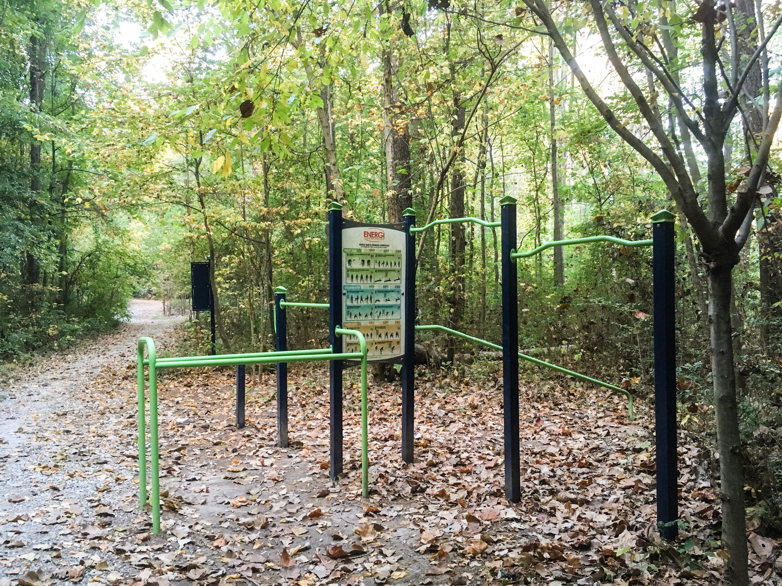
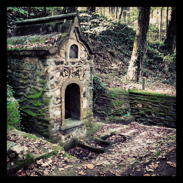
Features:
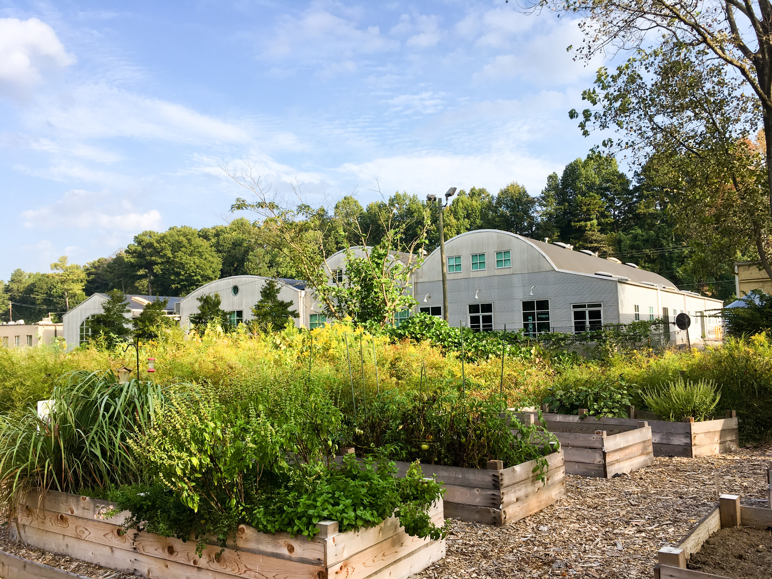
Community garden
USGS creek monitoring station
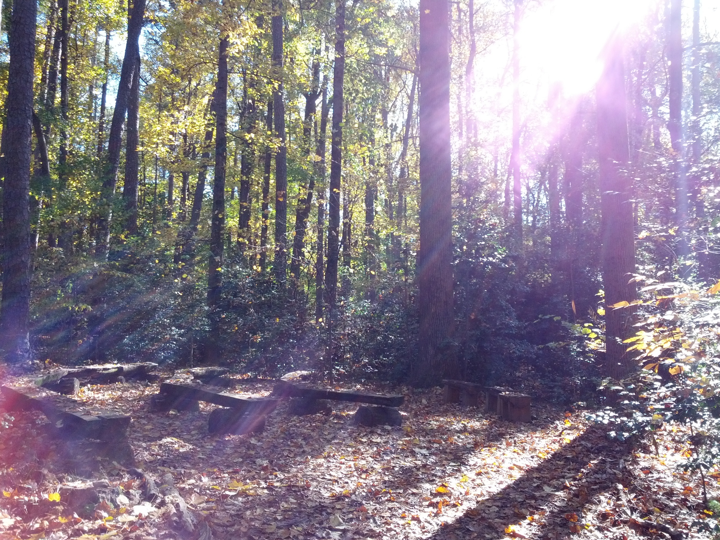
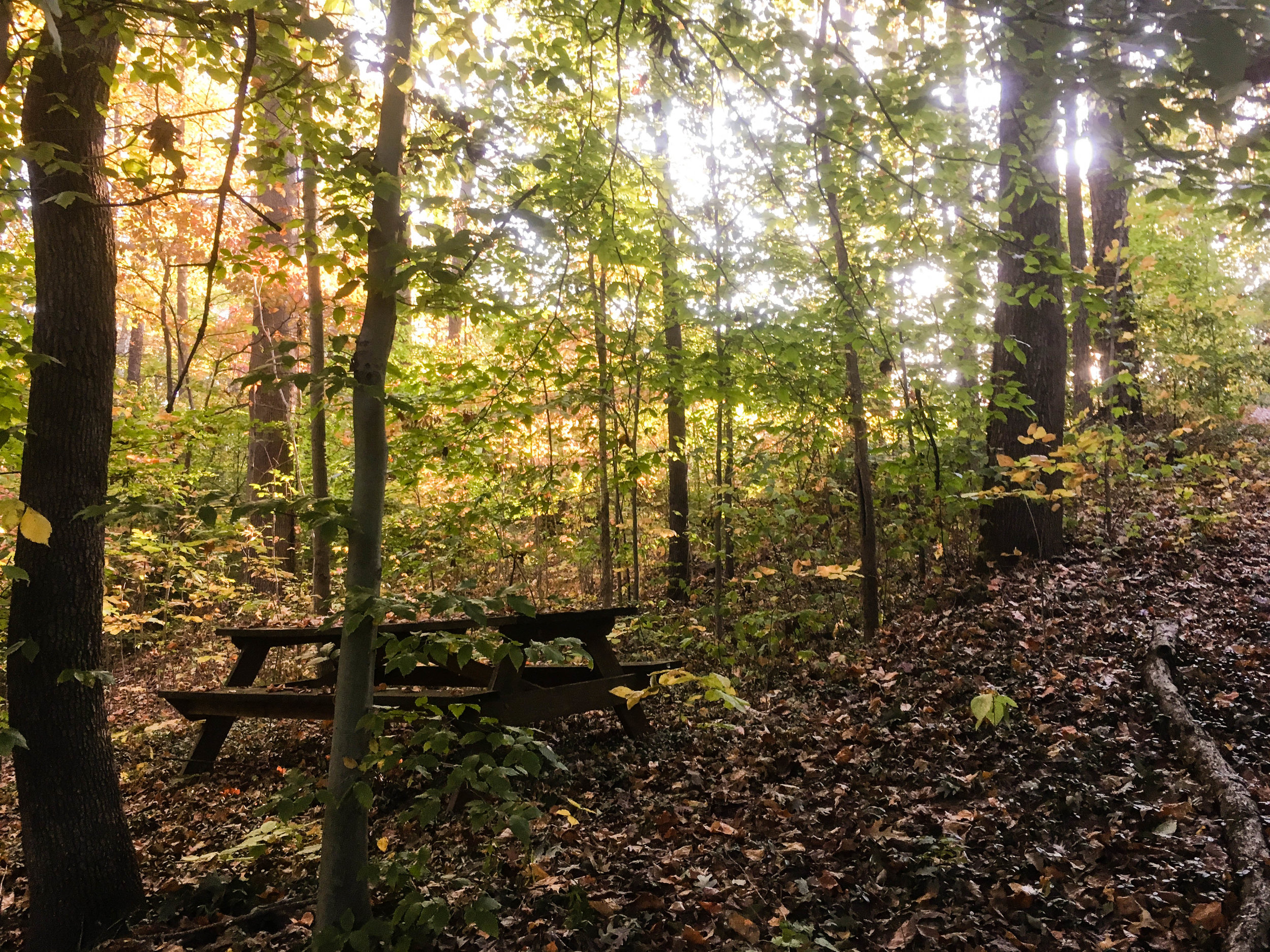
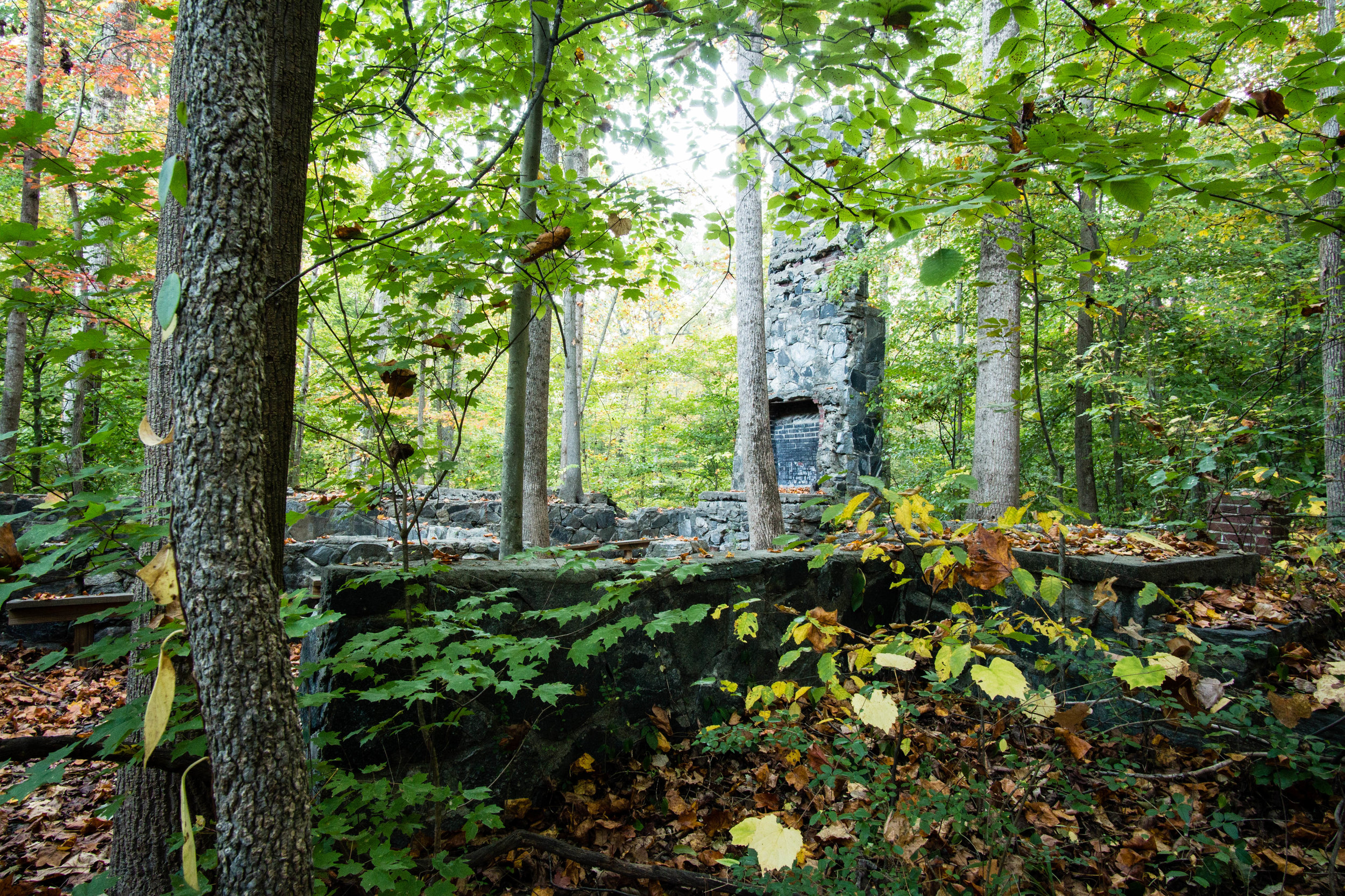
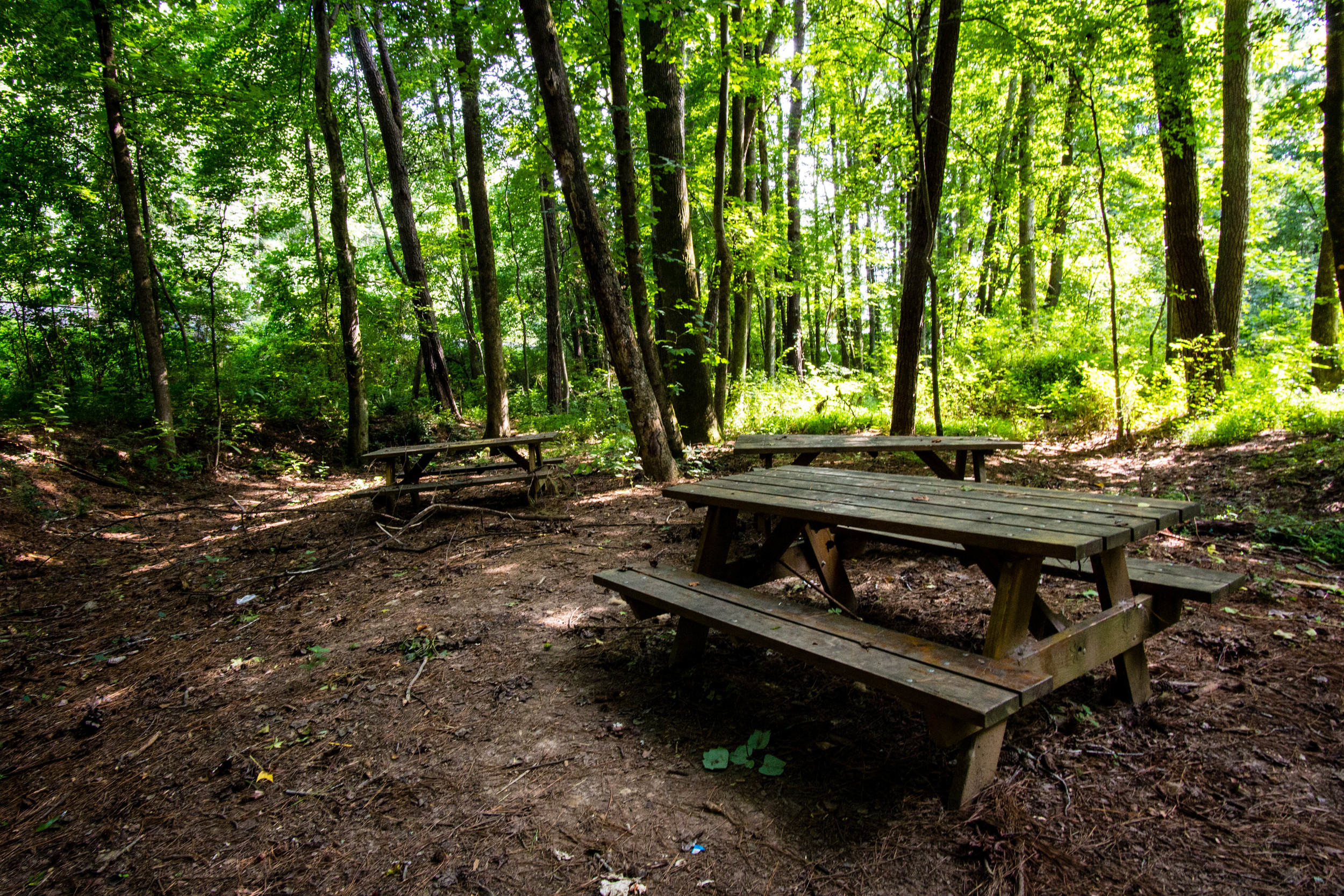
Picnic areas
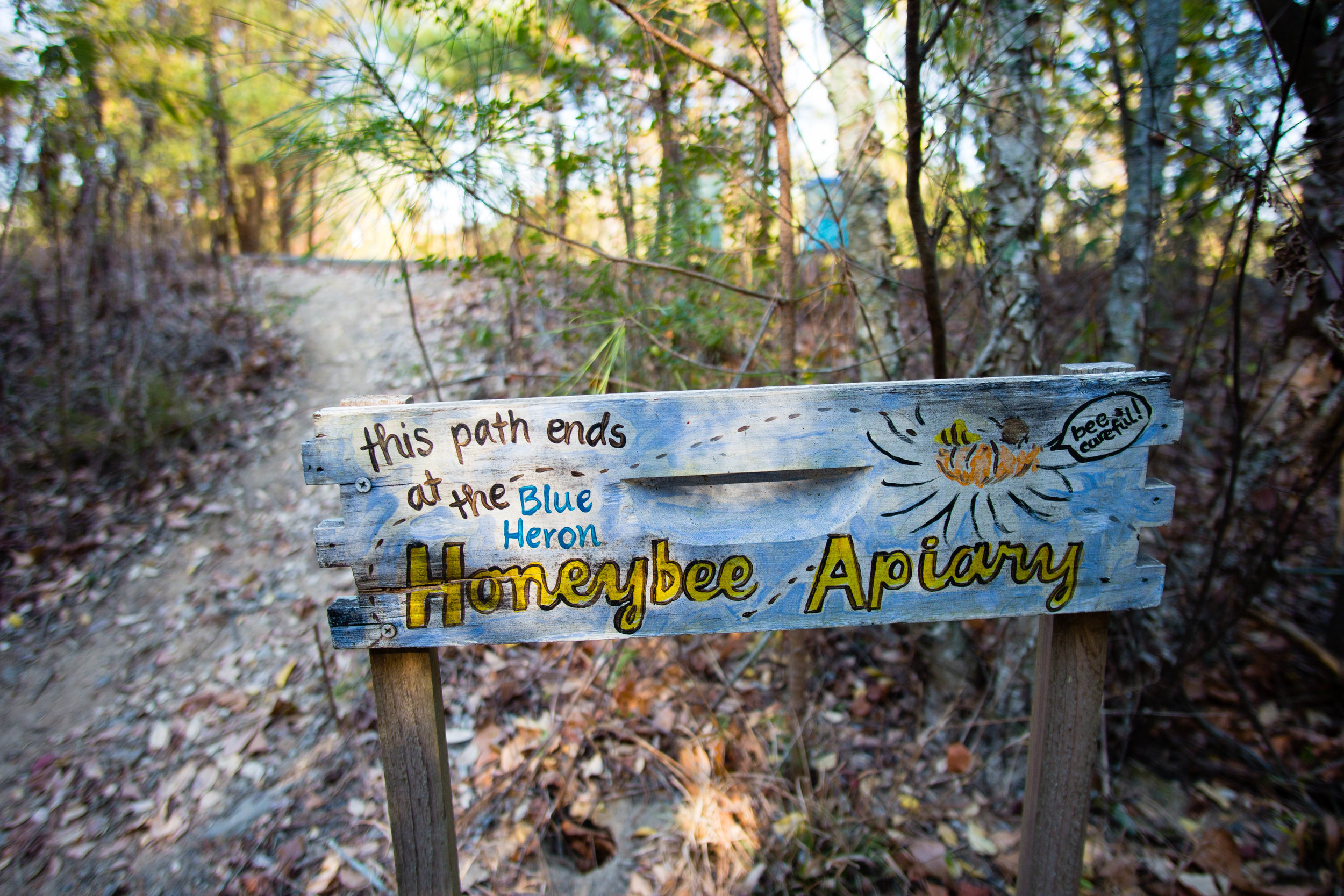
Apiaries
Photo blind
Bike racks (at the office)


More photos on Flickr

From around the web
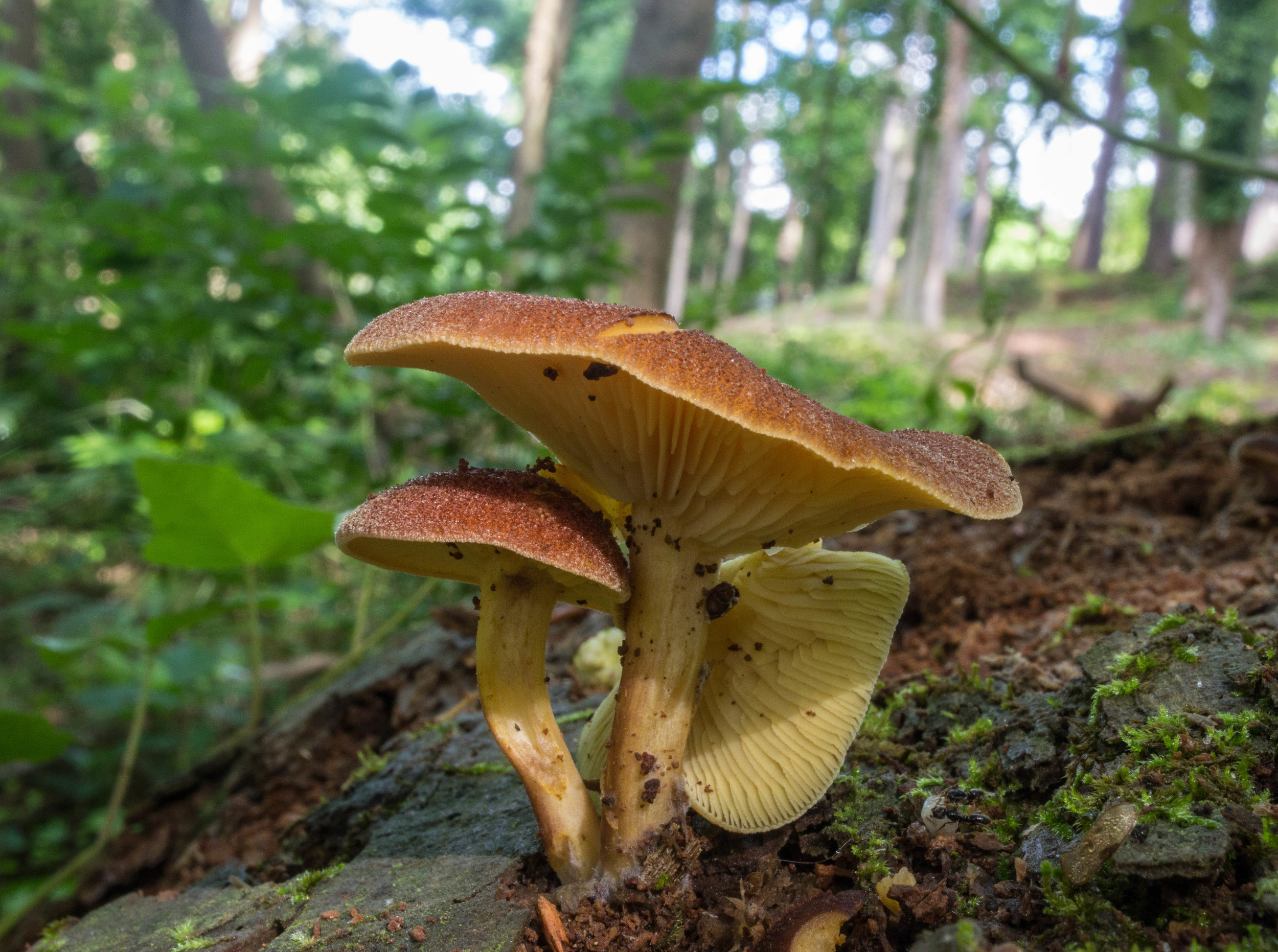
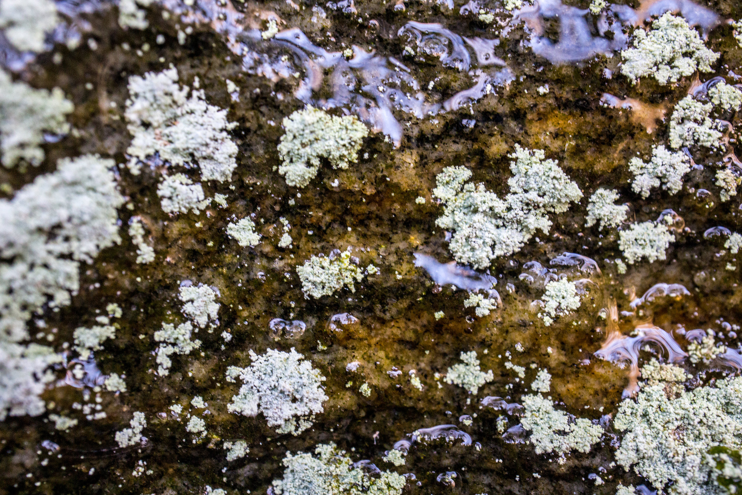
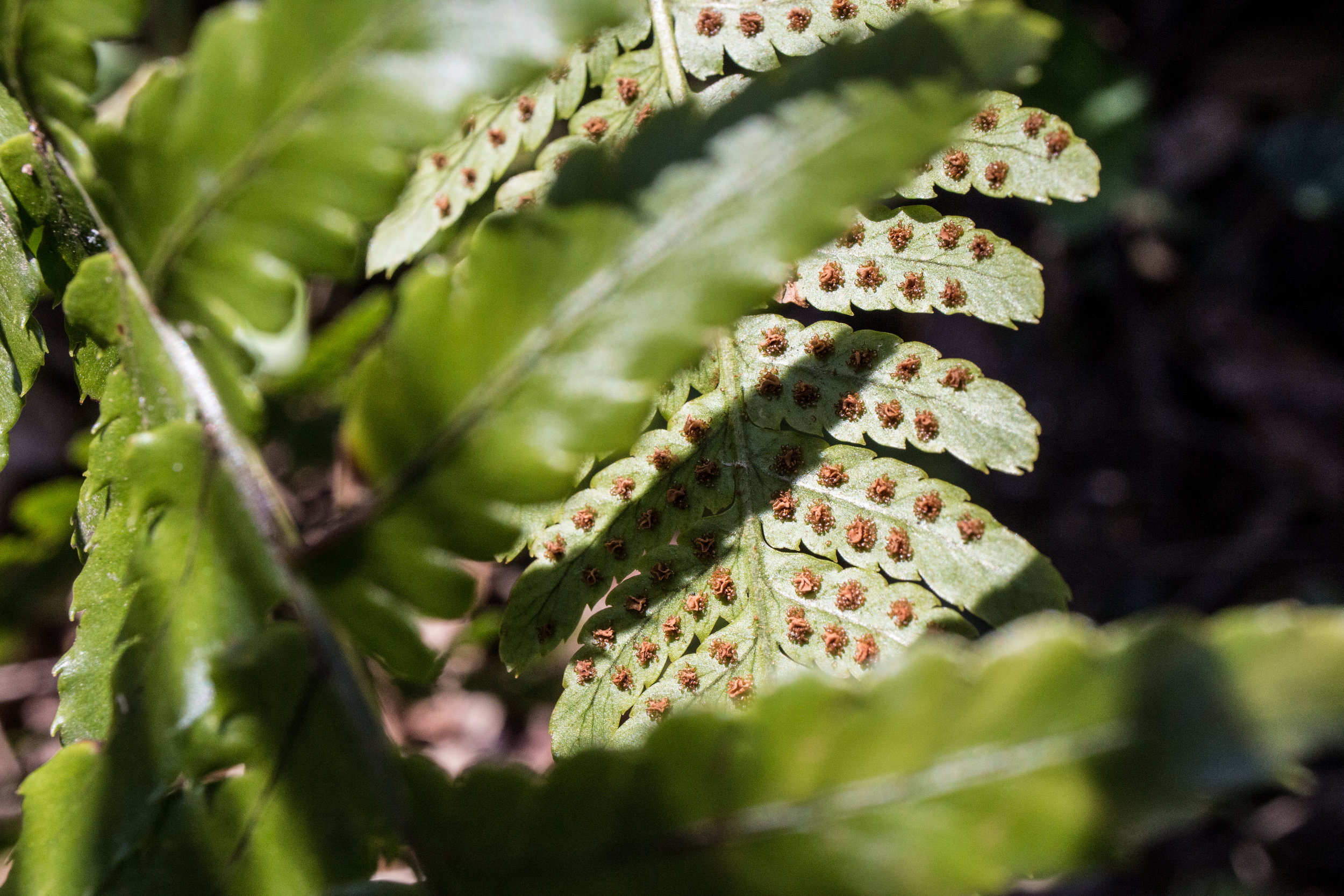
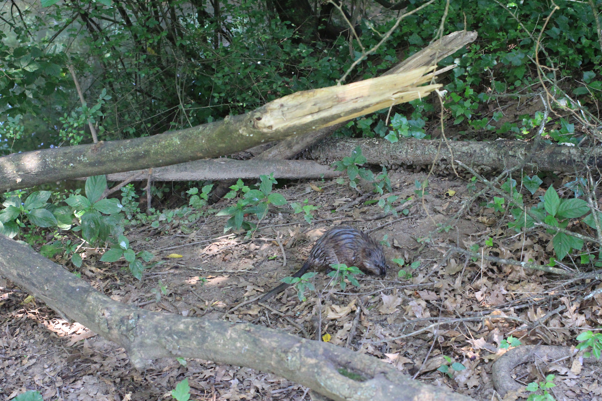
Recent iNaturalist observations
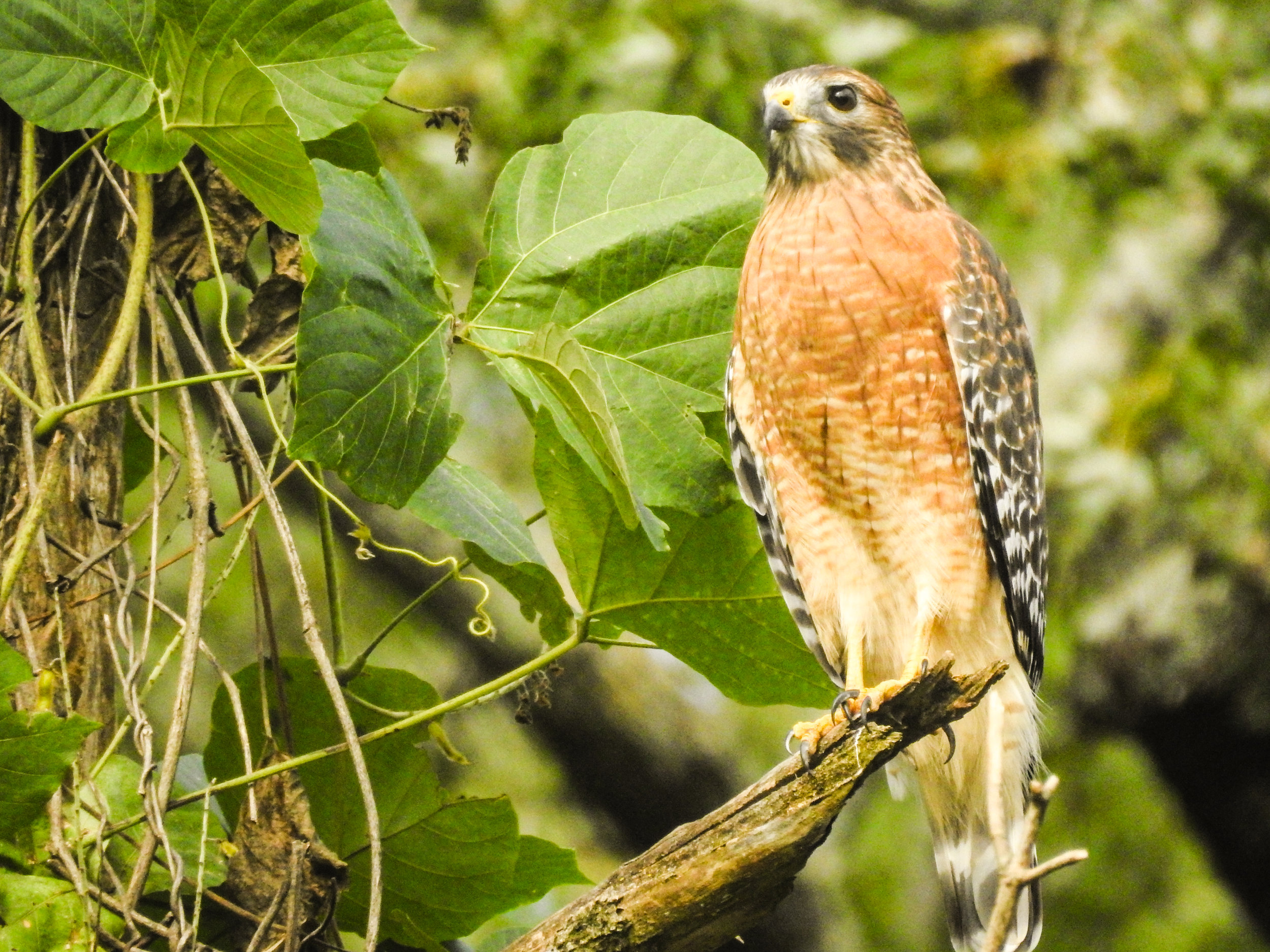
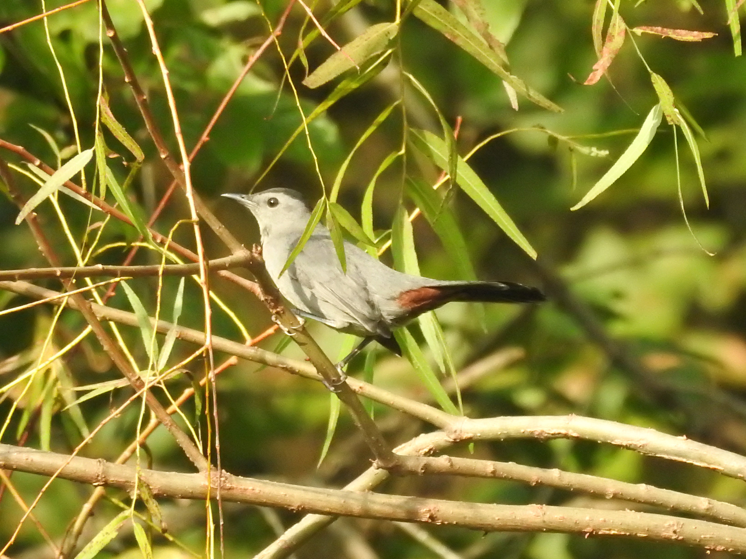
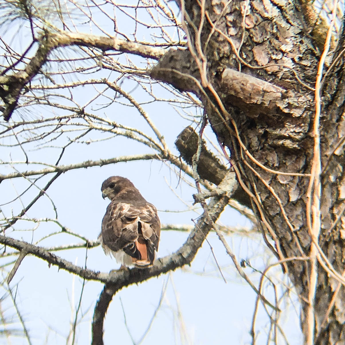
Random eBird sightings from the last 30 days
Good to combine with:


Updated August 2, 2016, November 16, 2016, January 13, 2017, March 11, 2018, & May 31, 2021