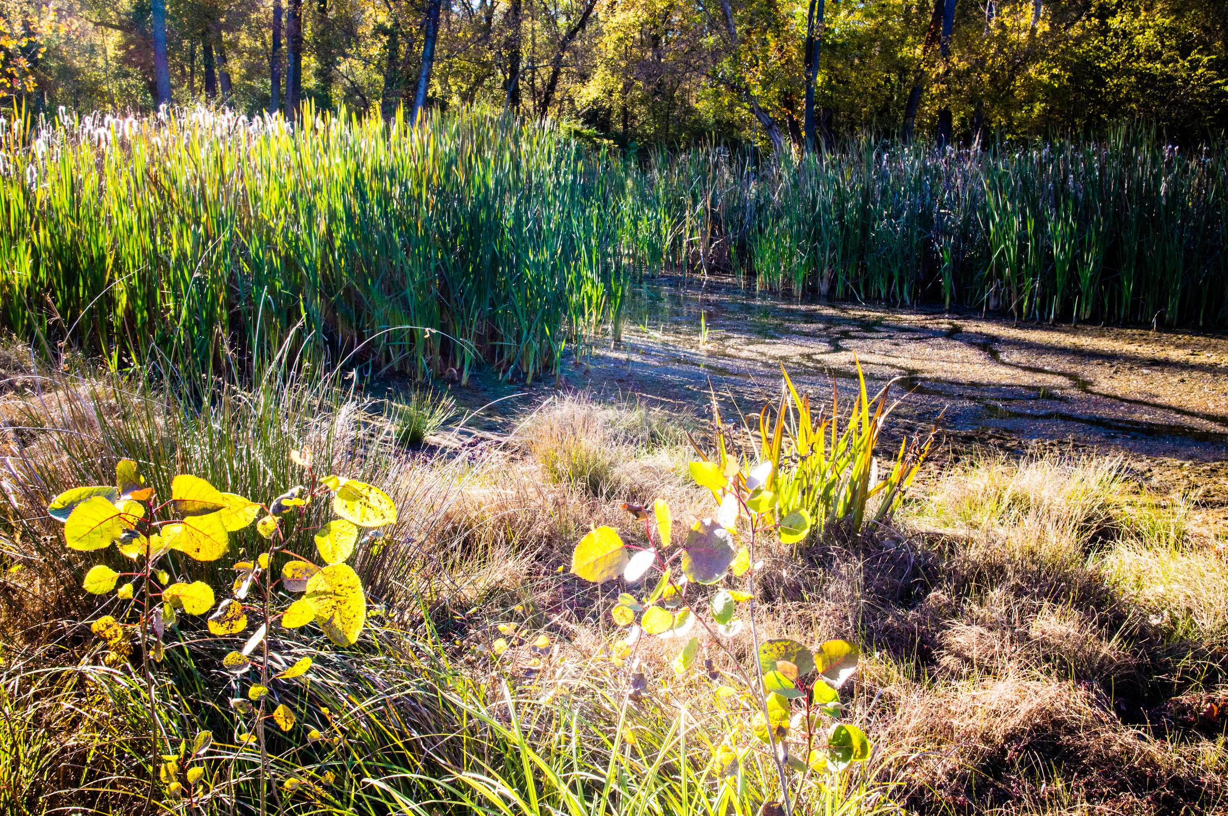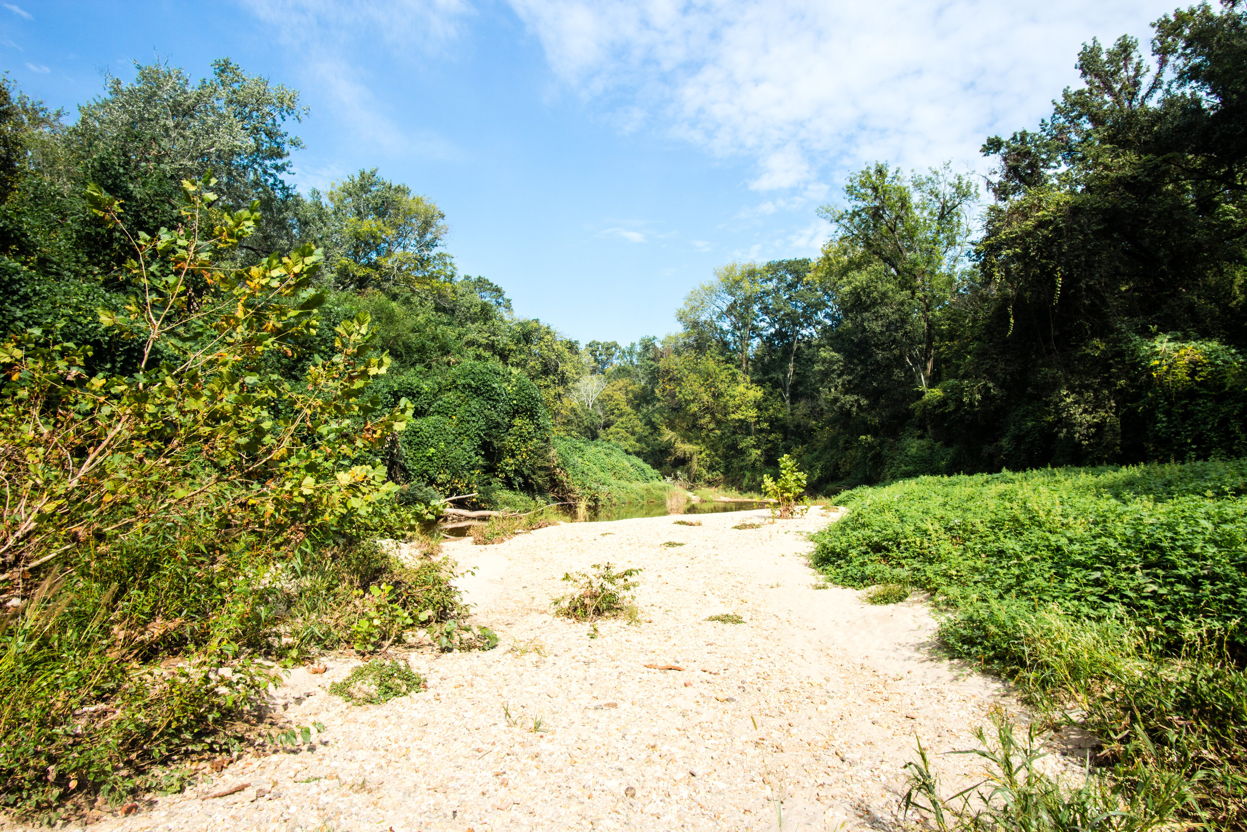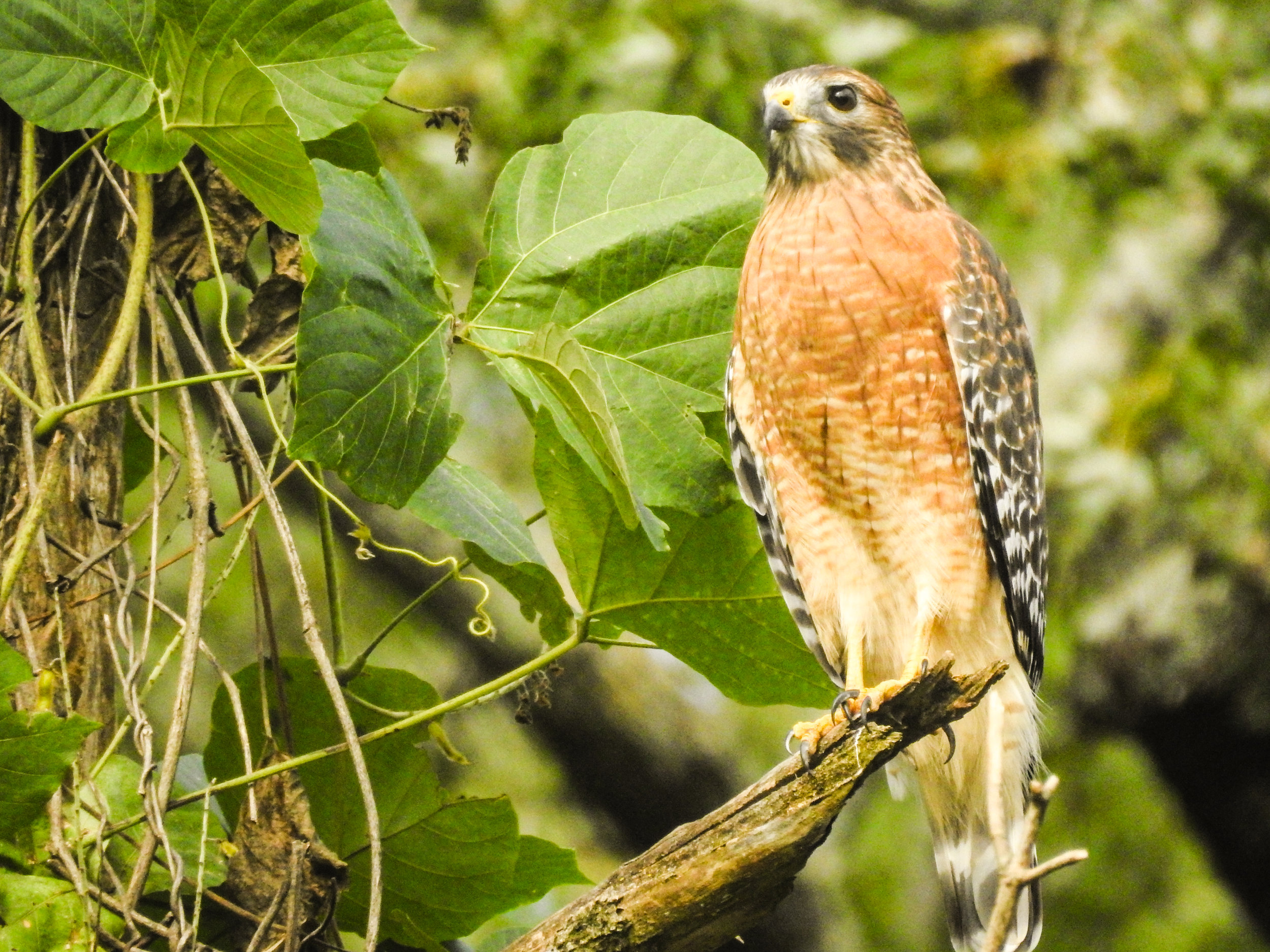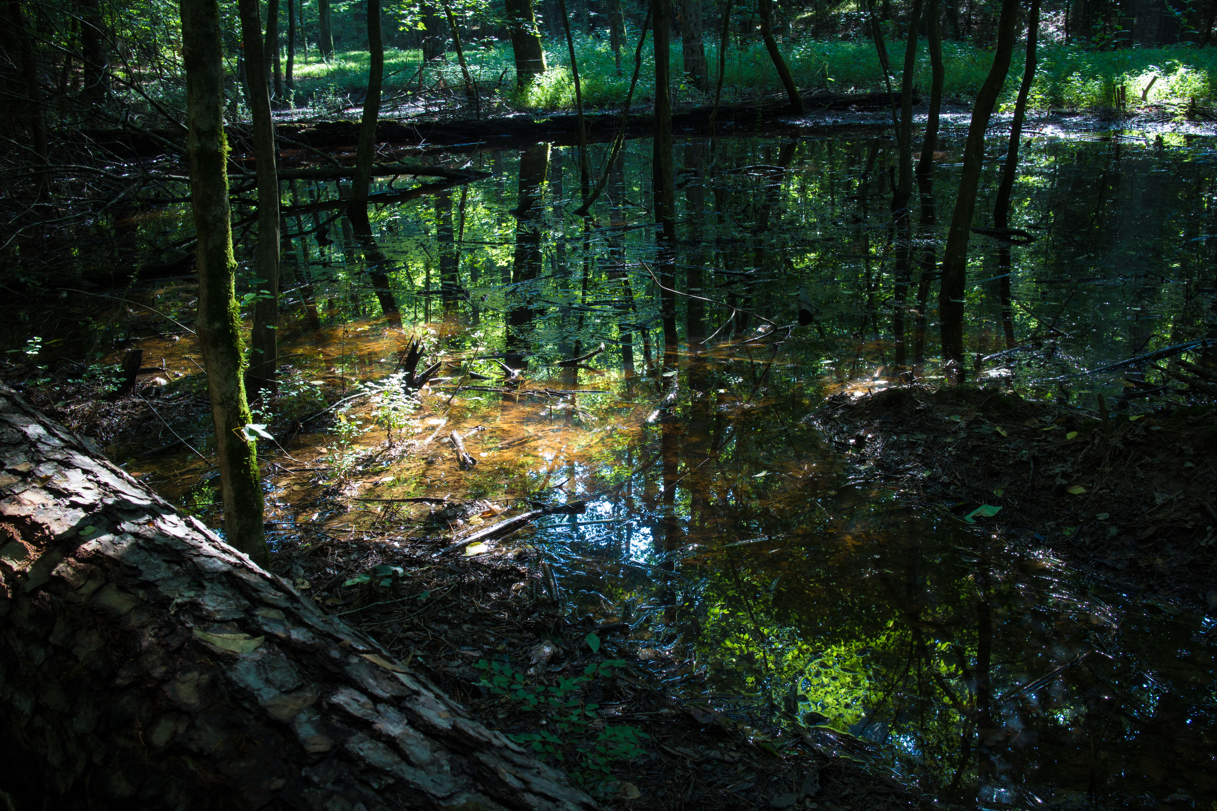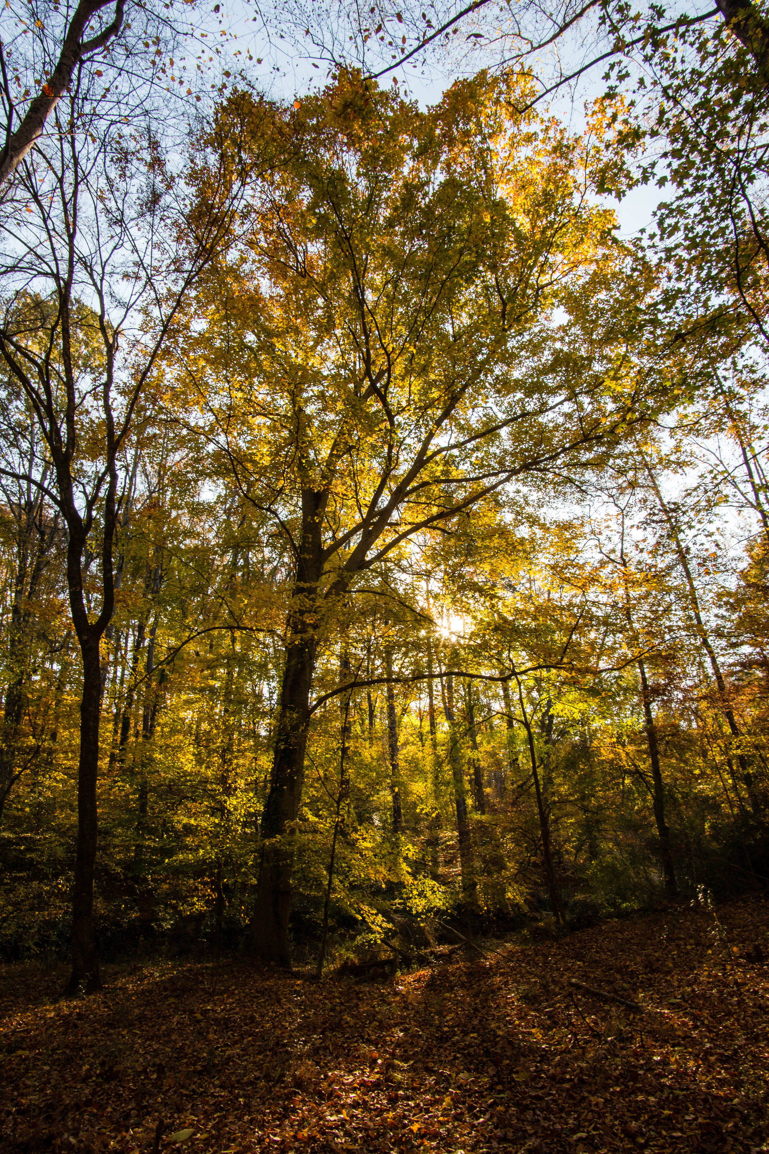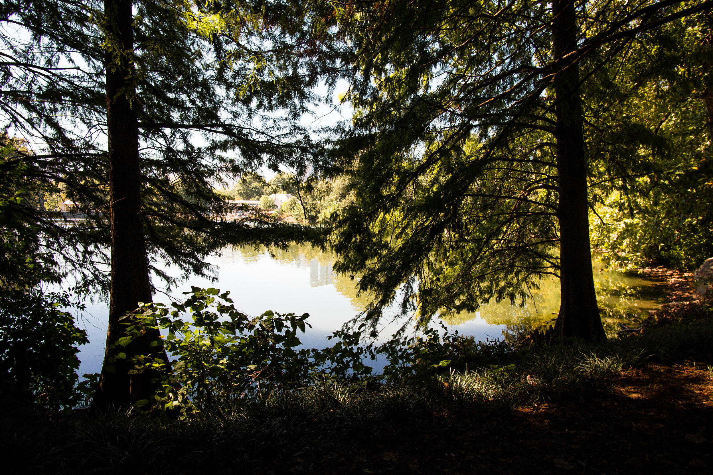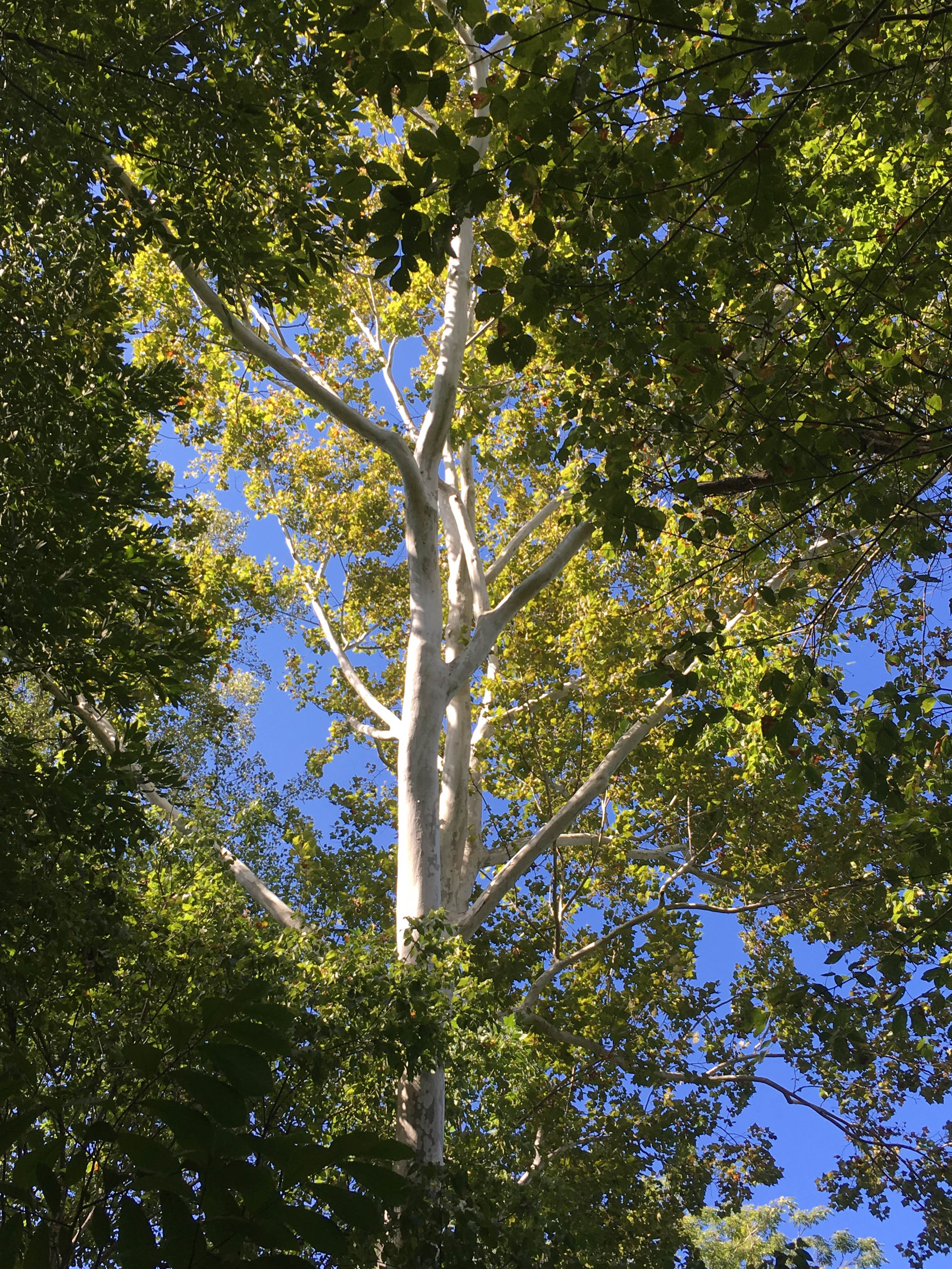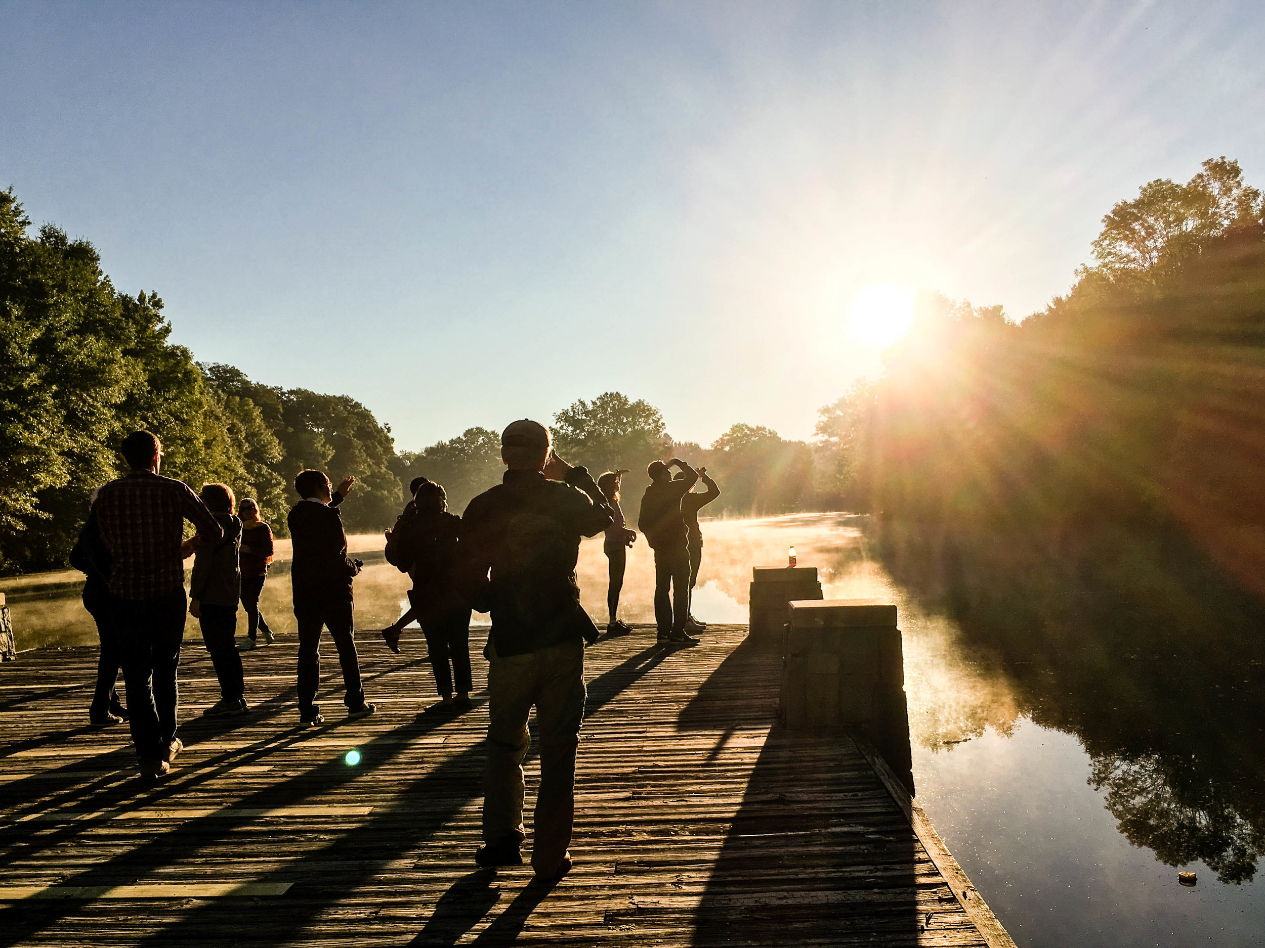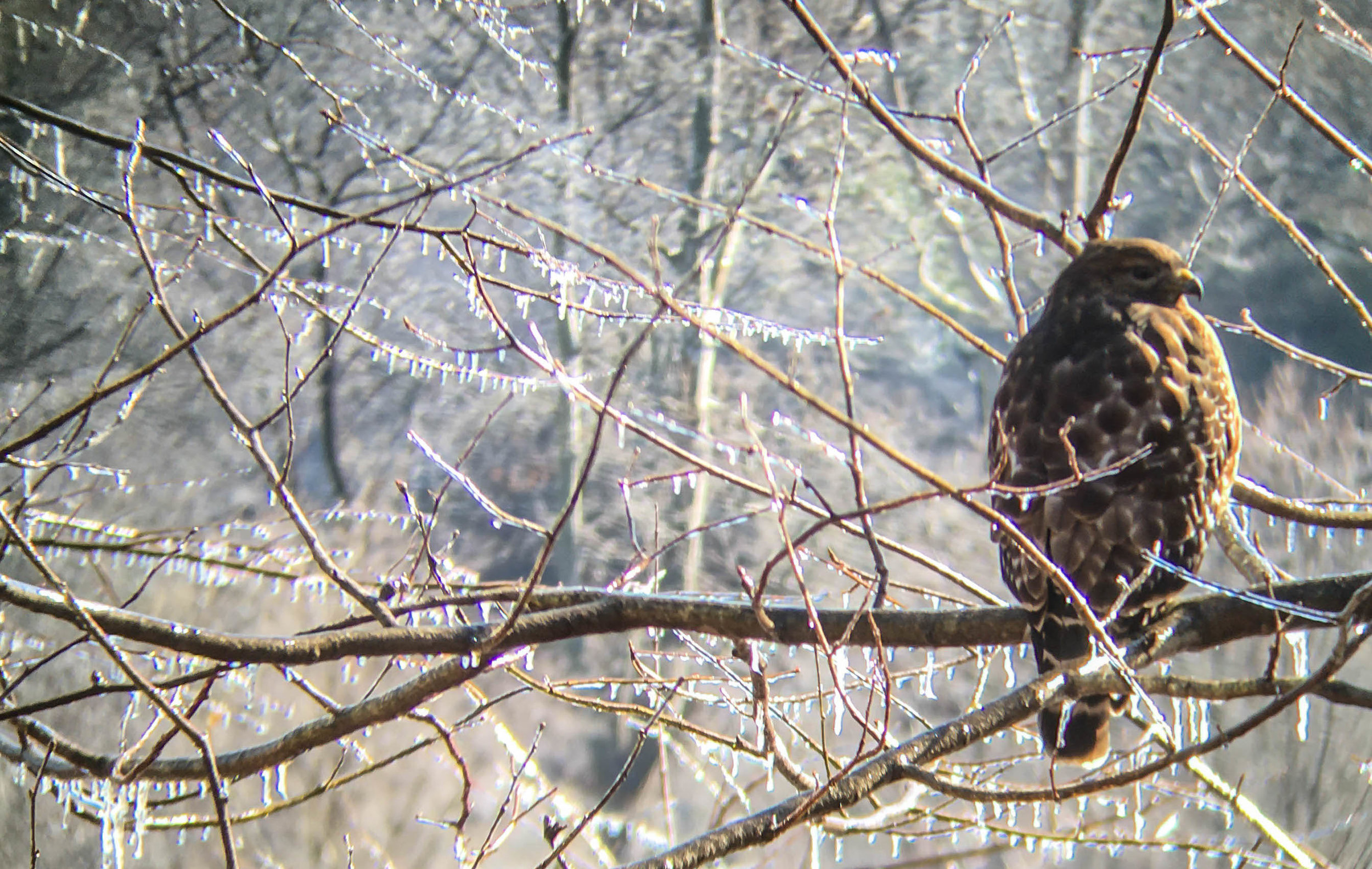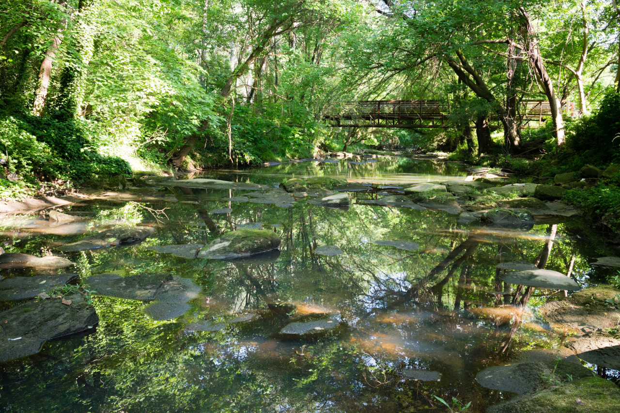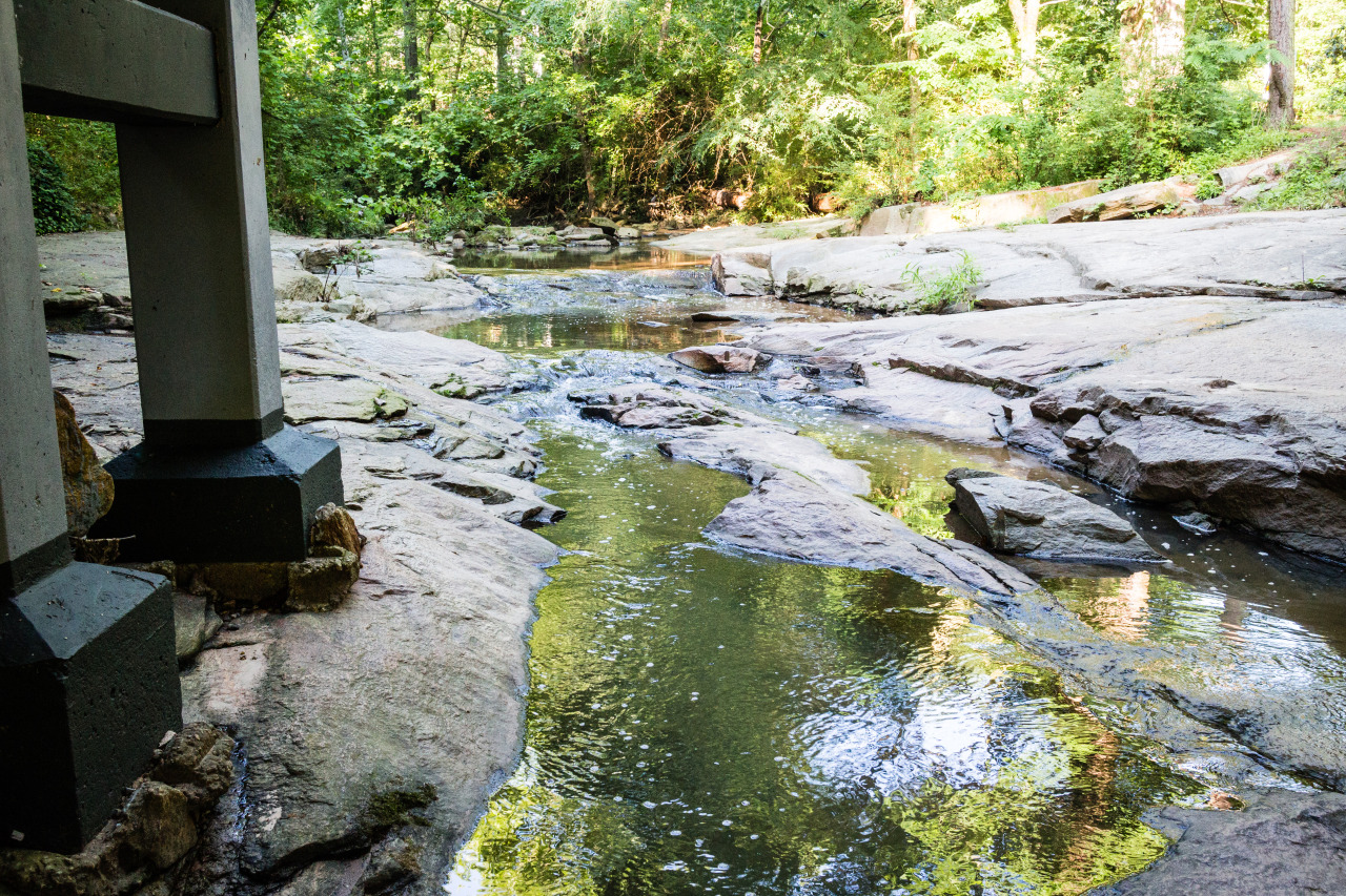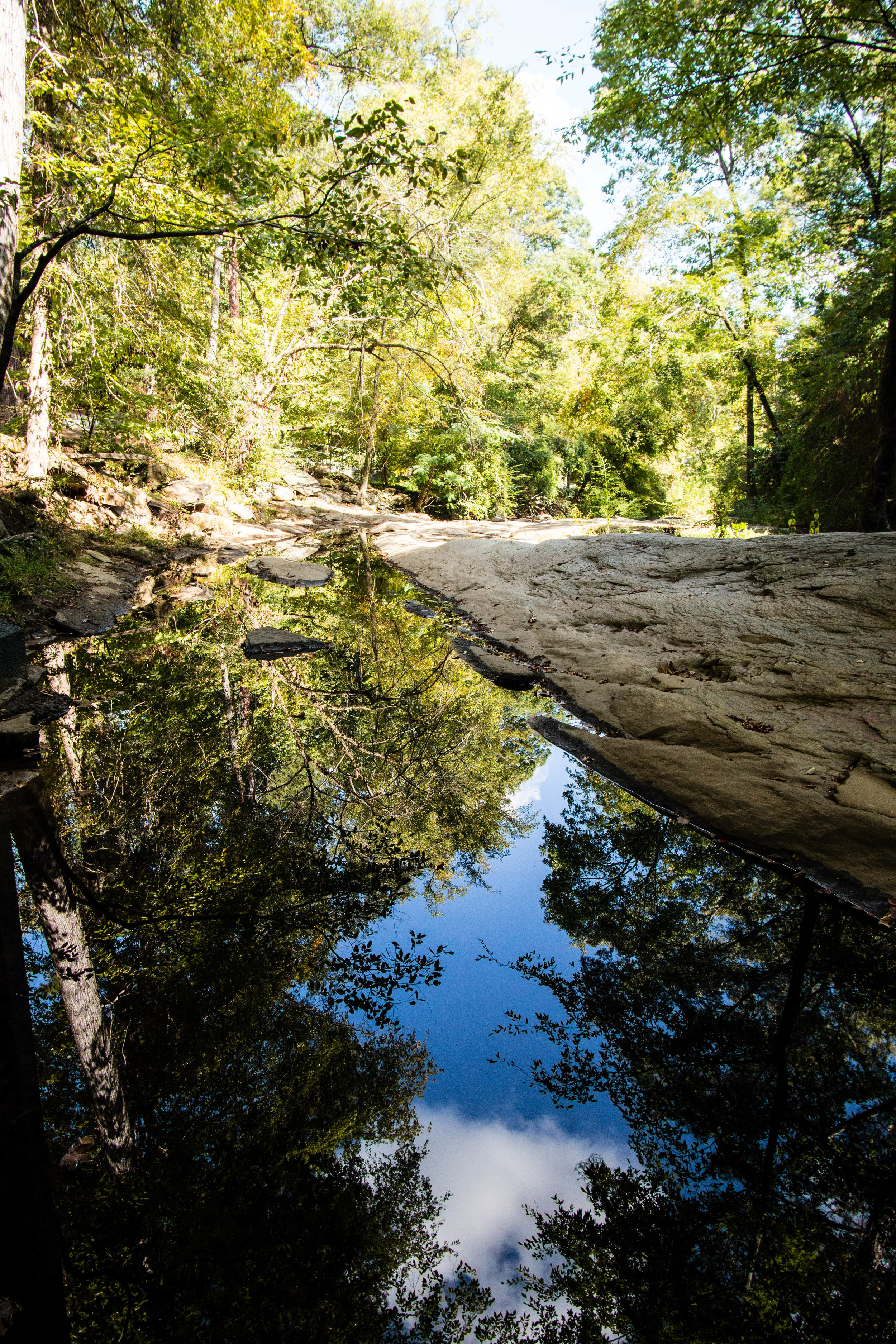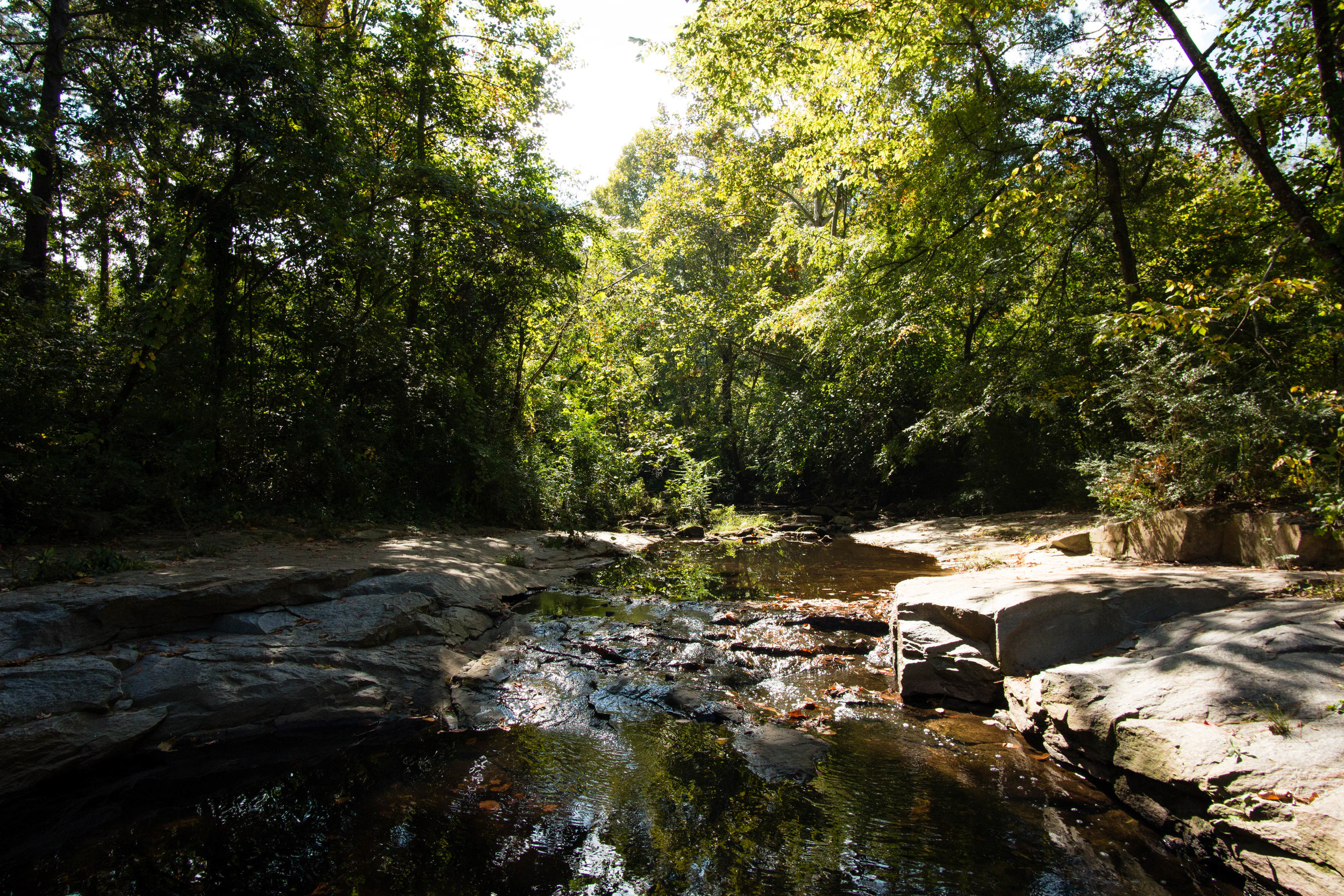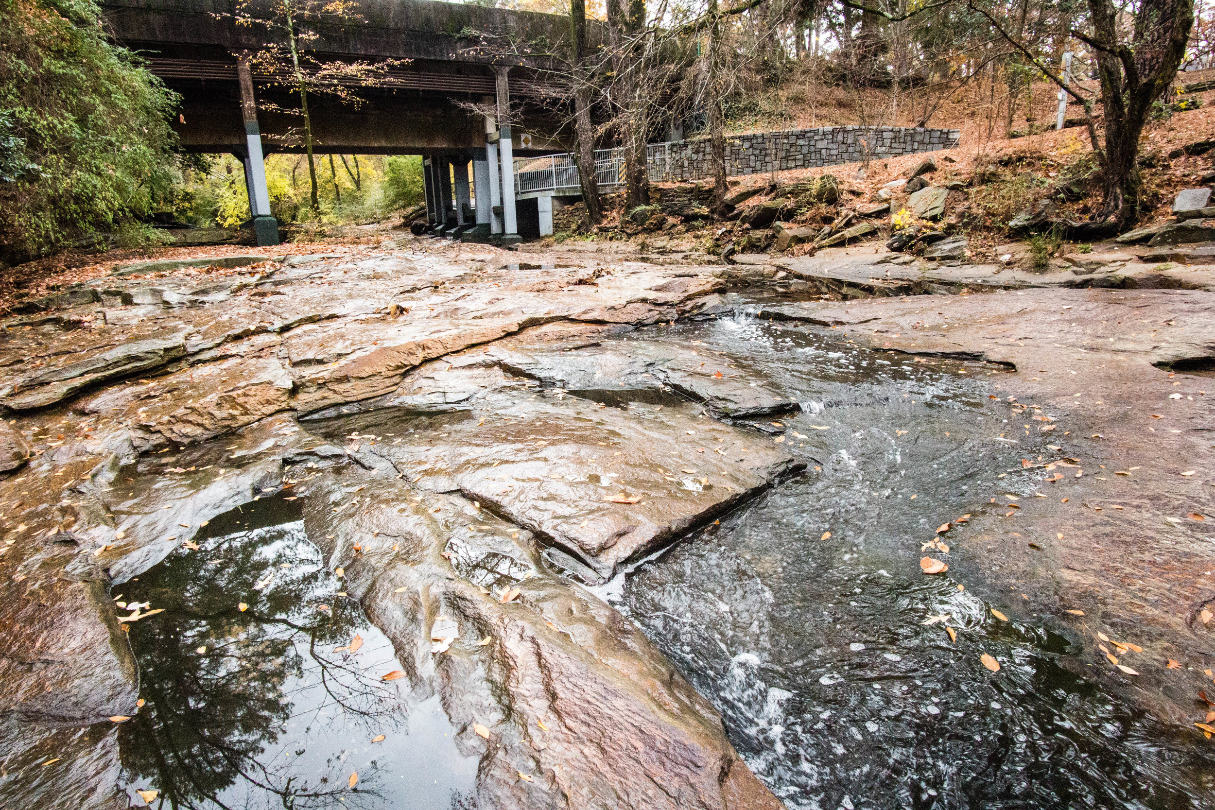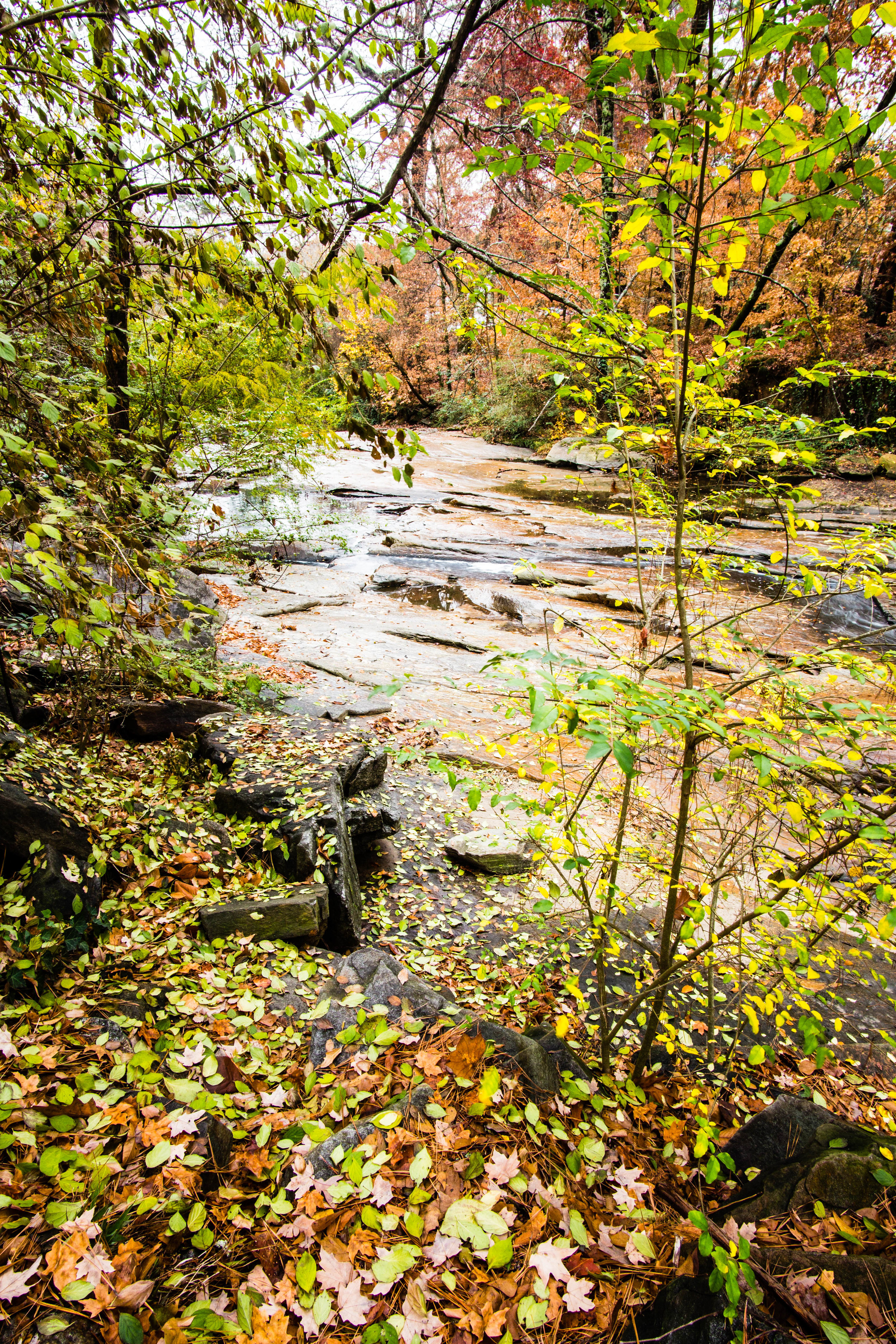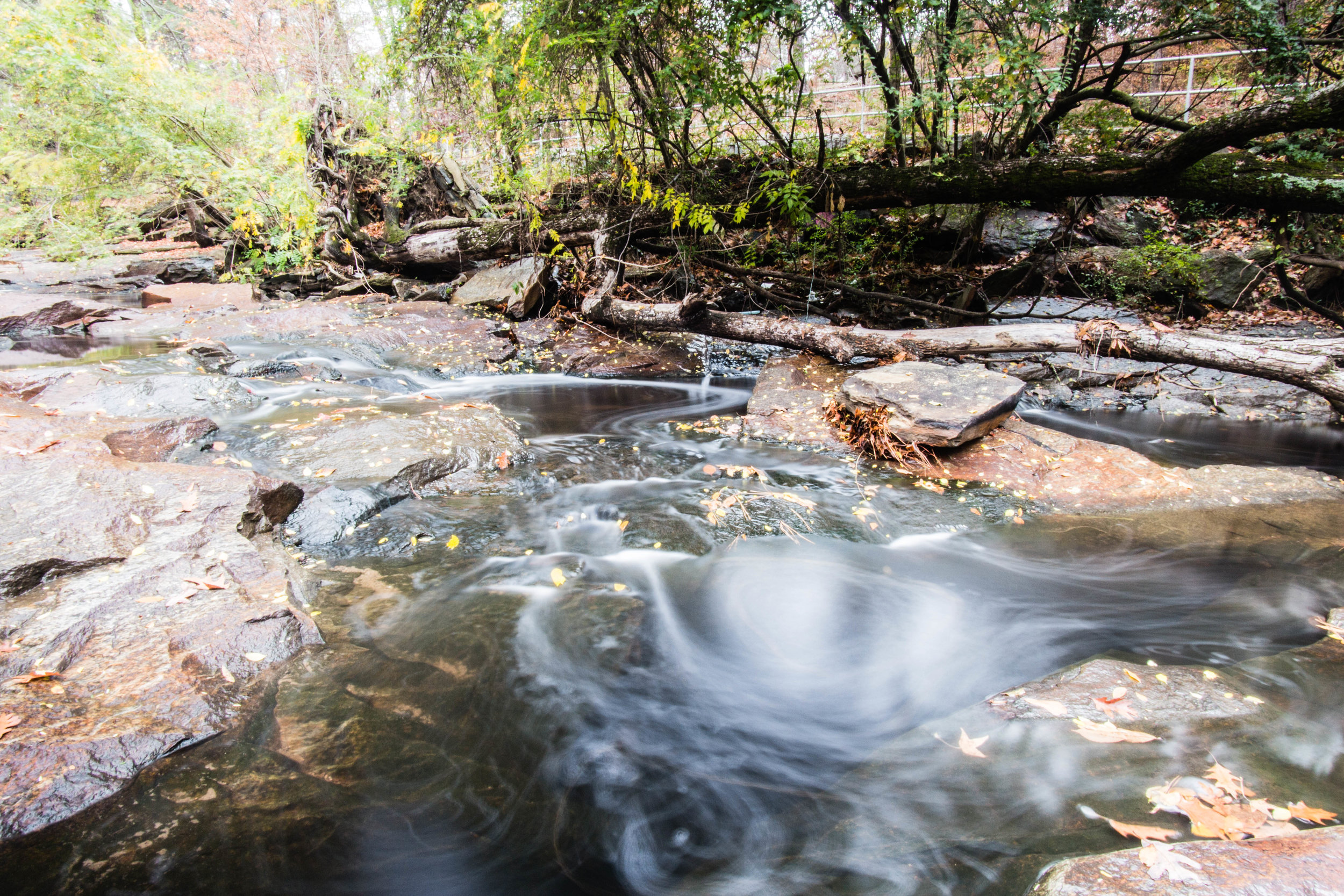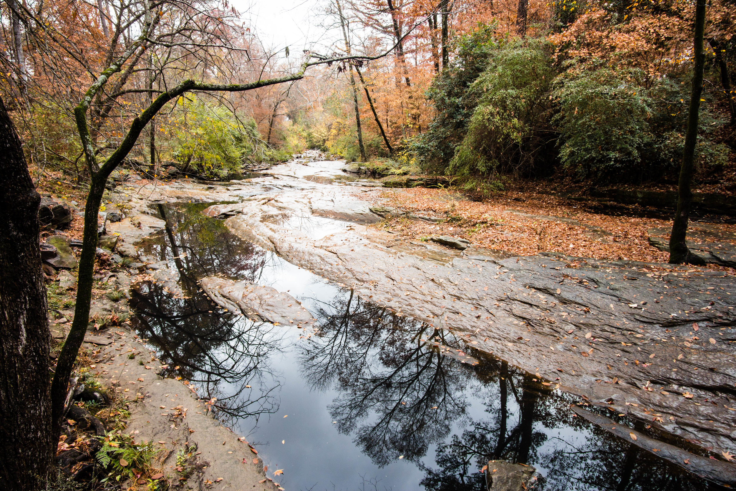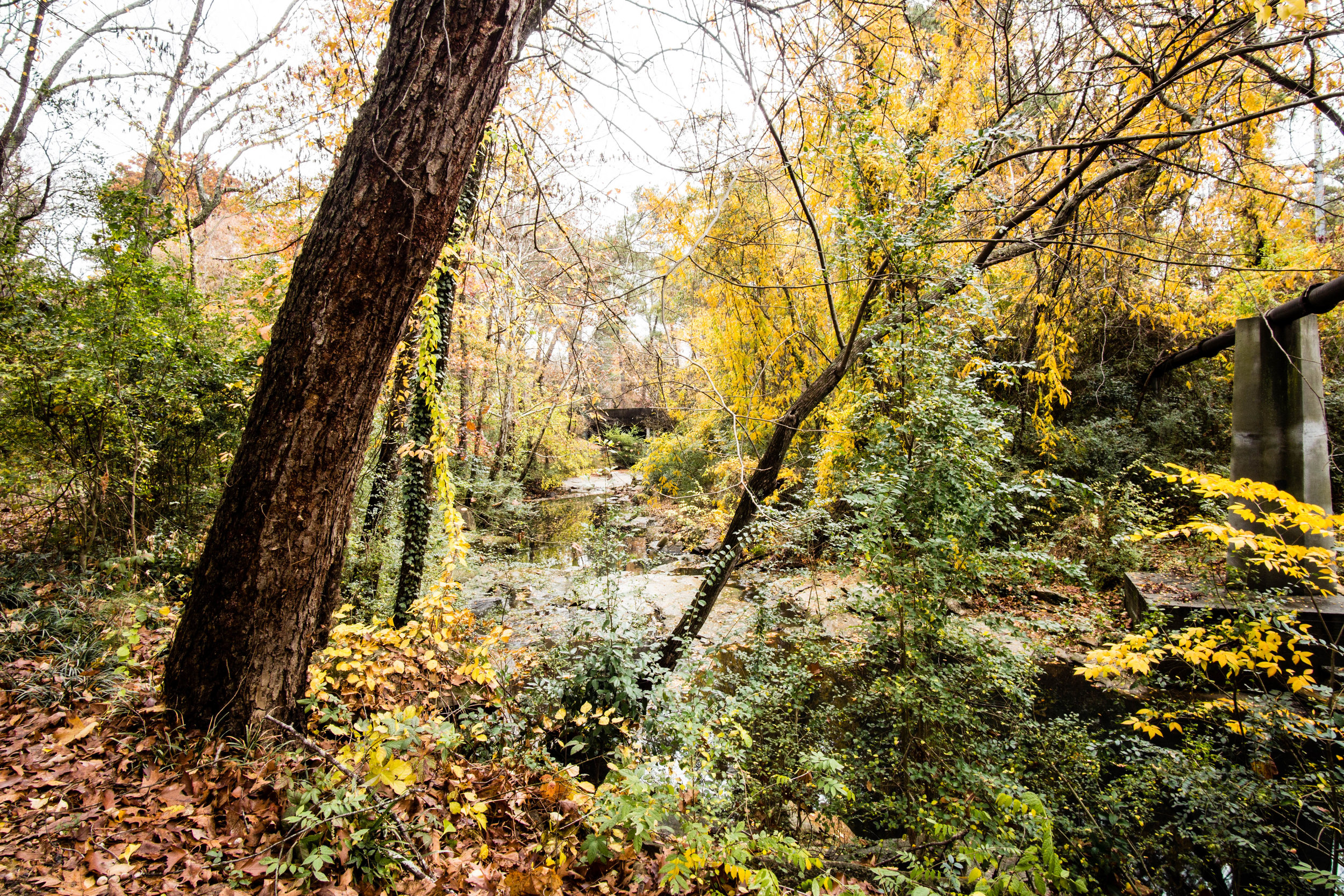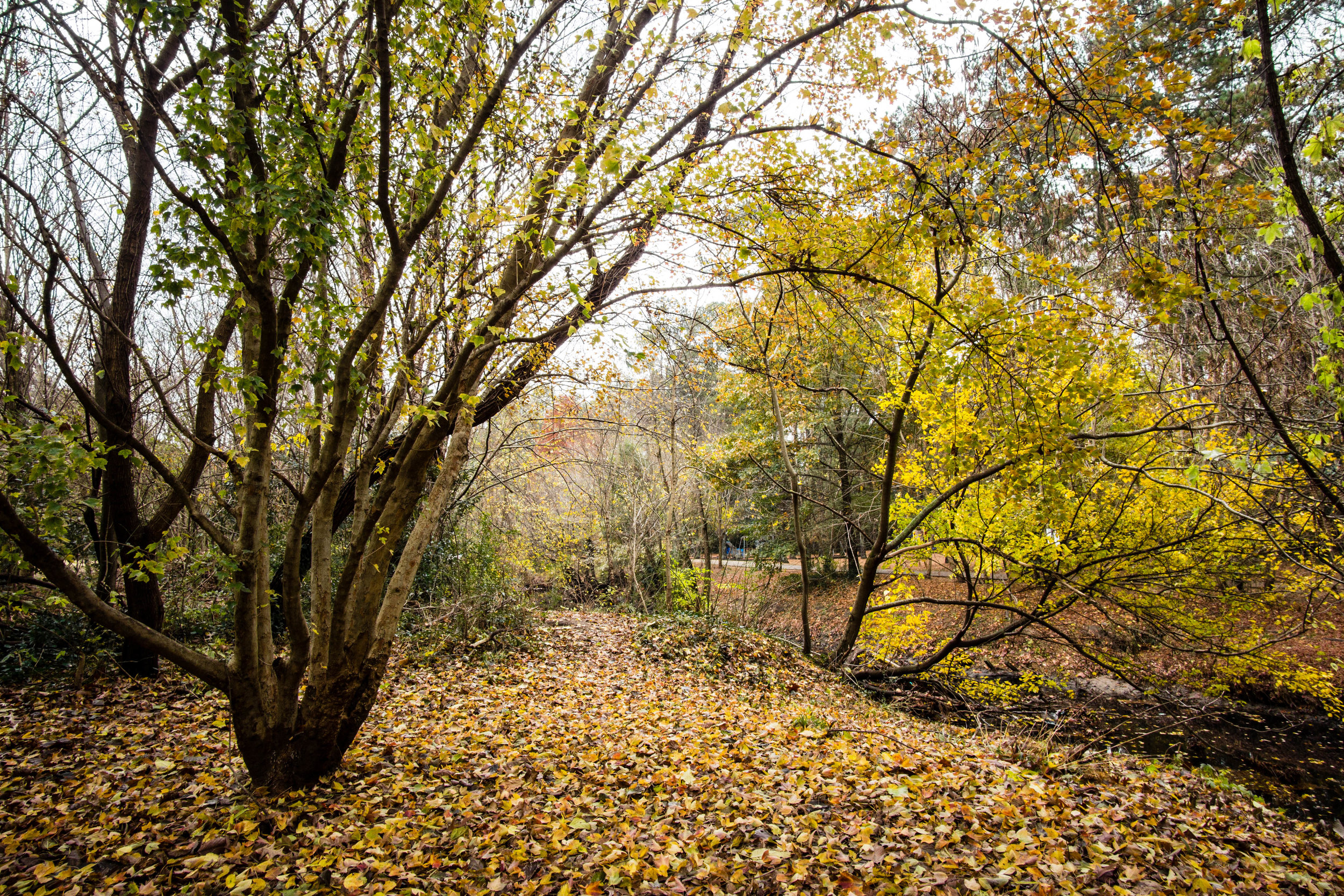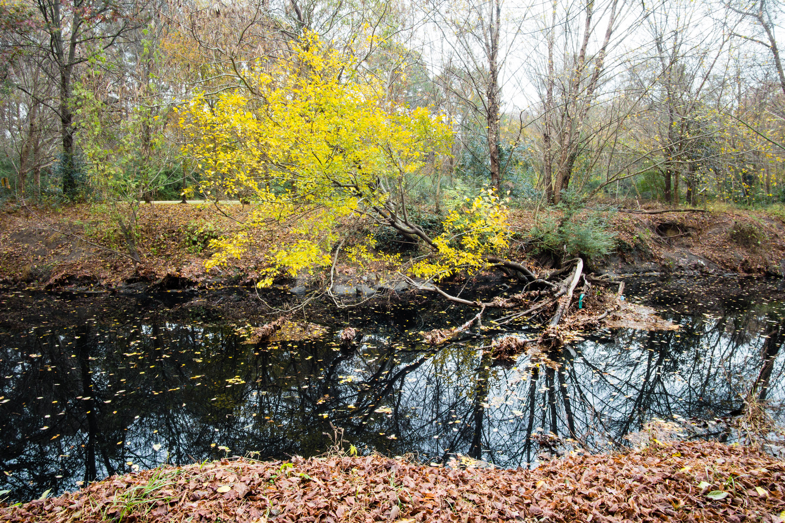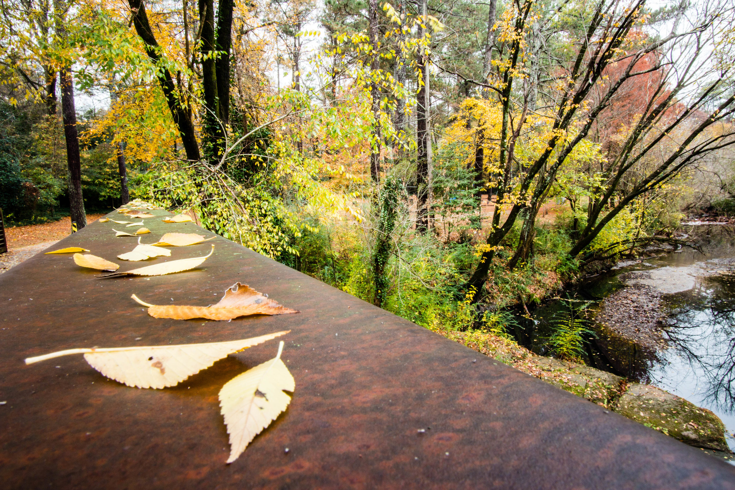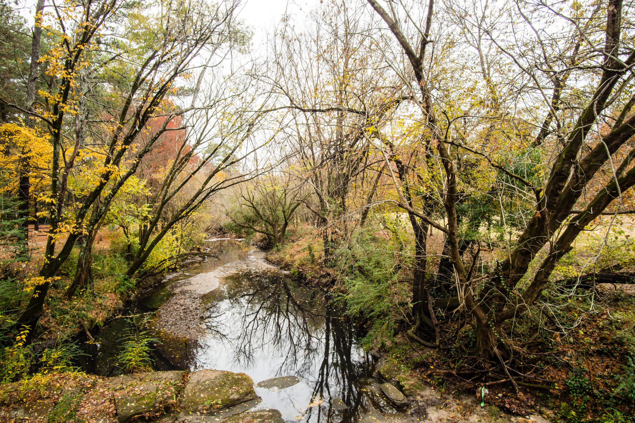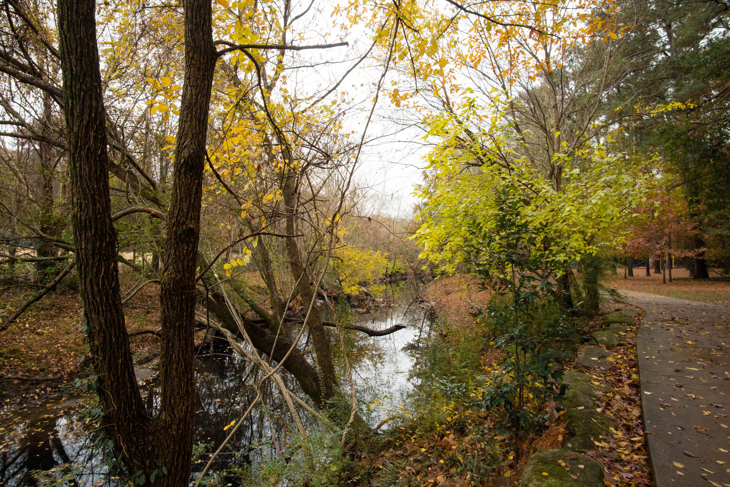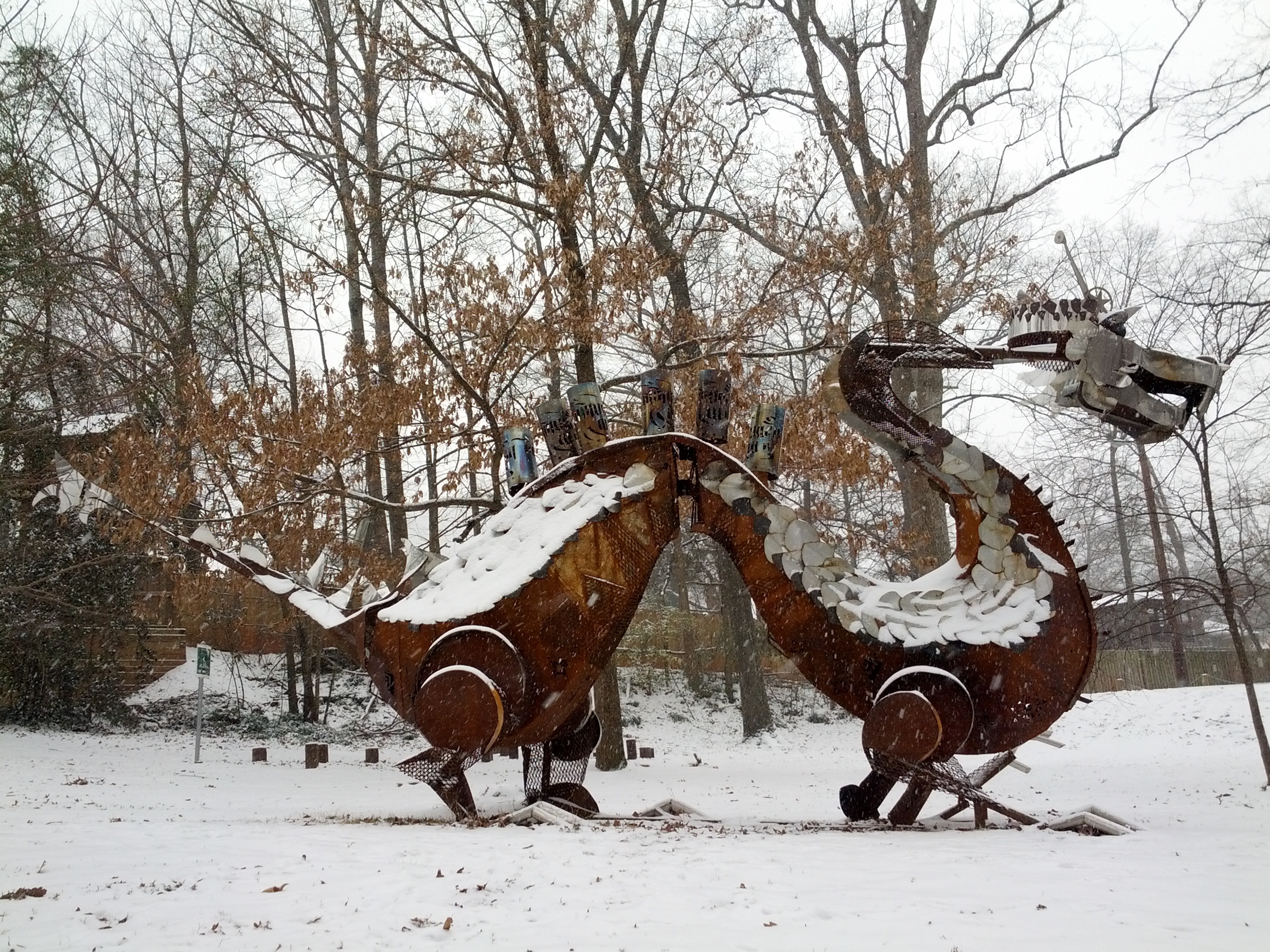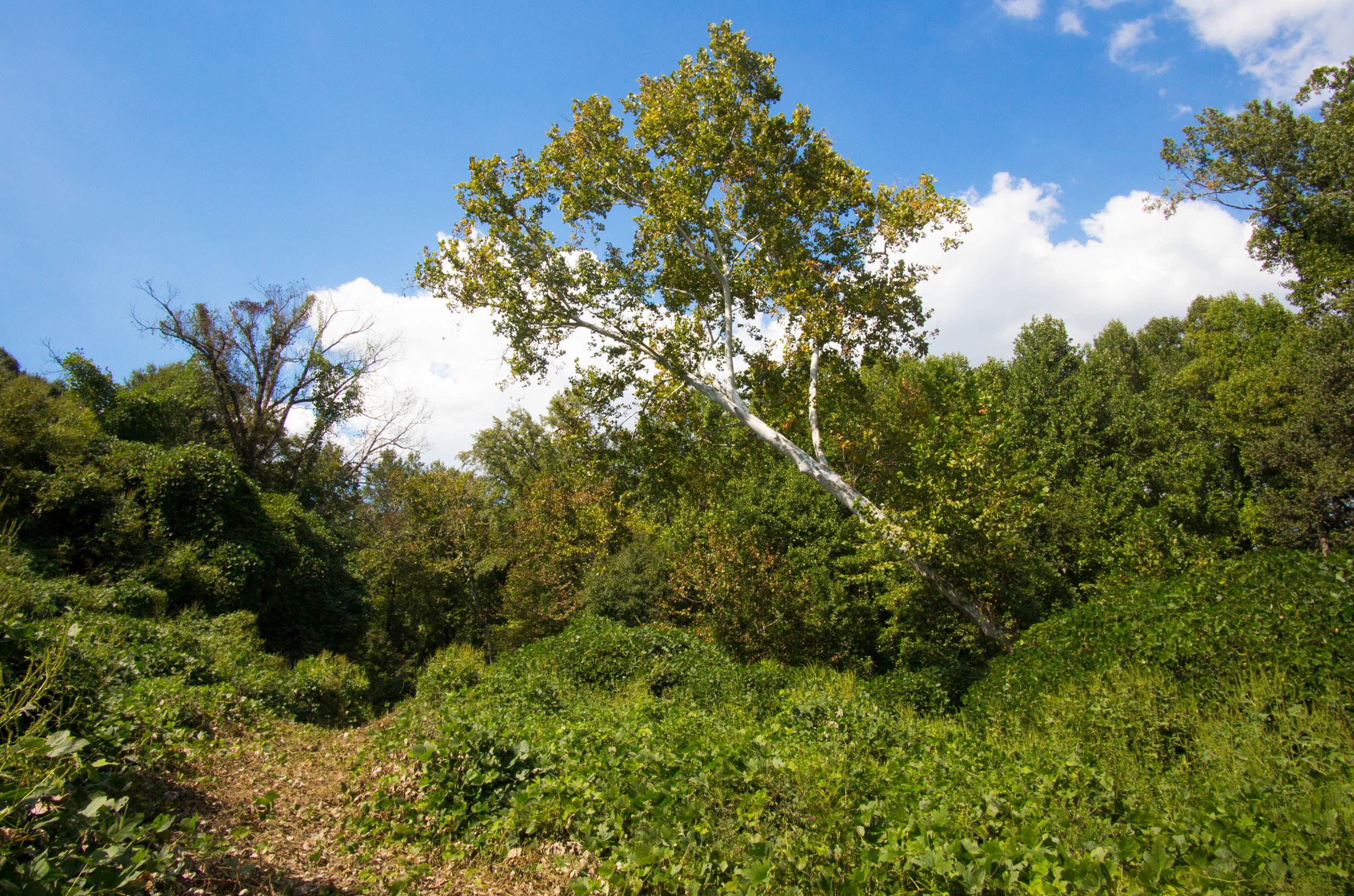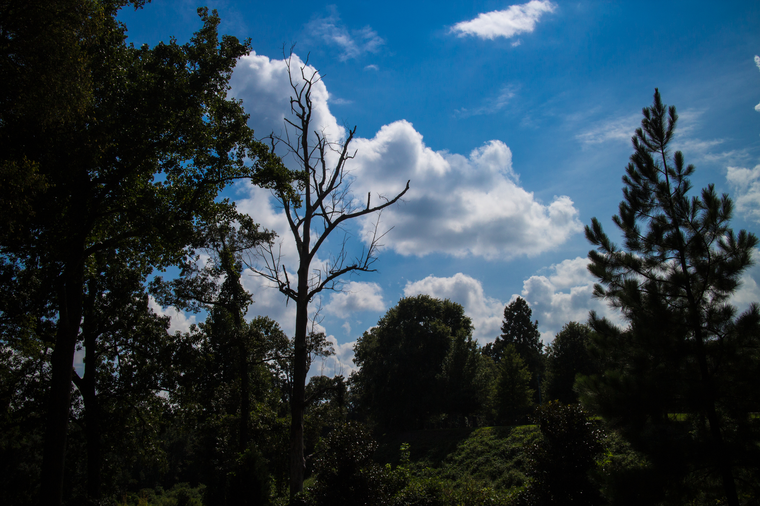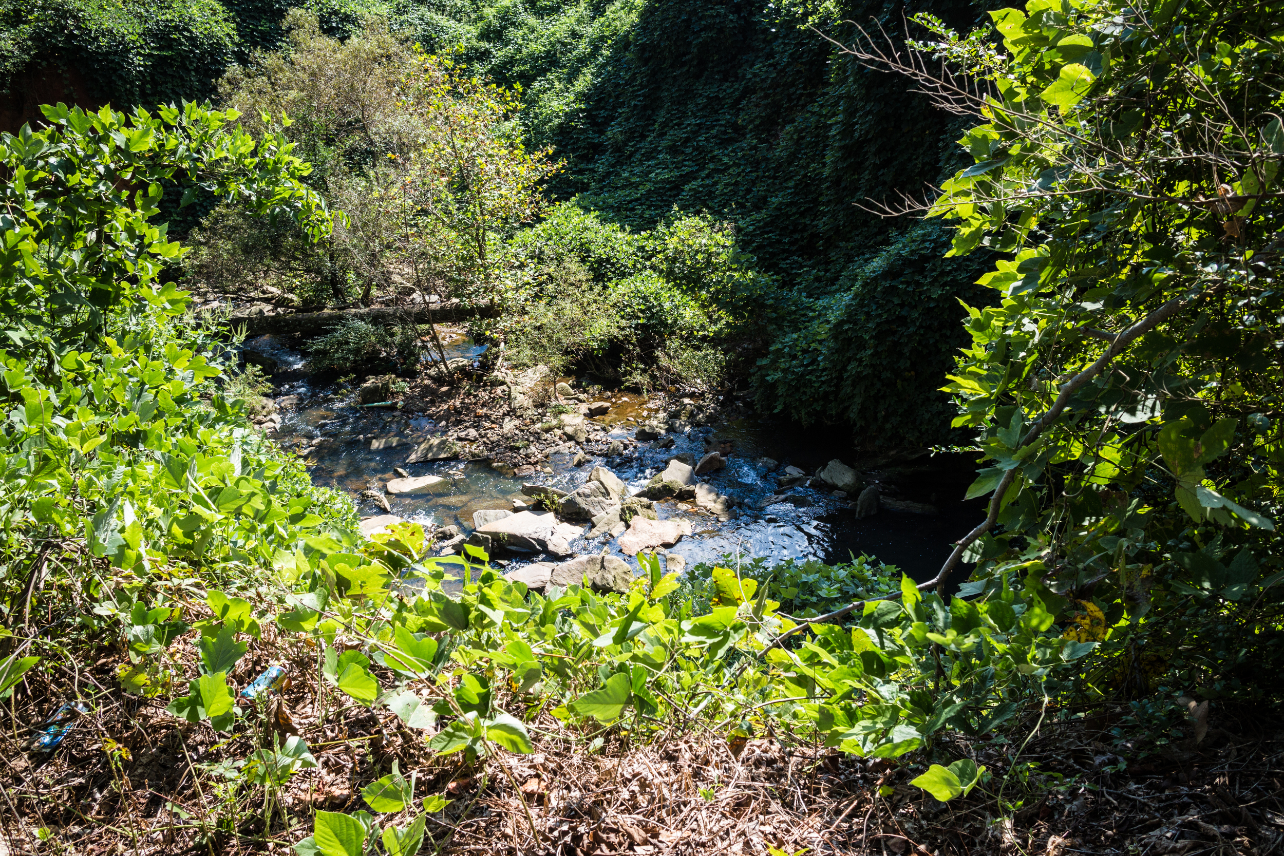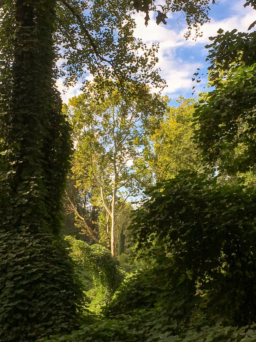

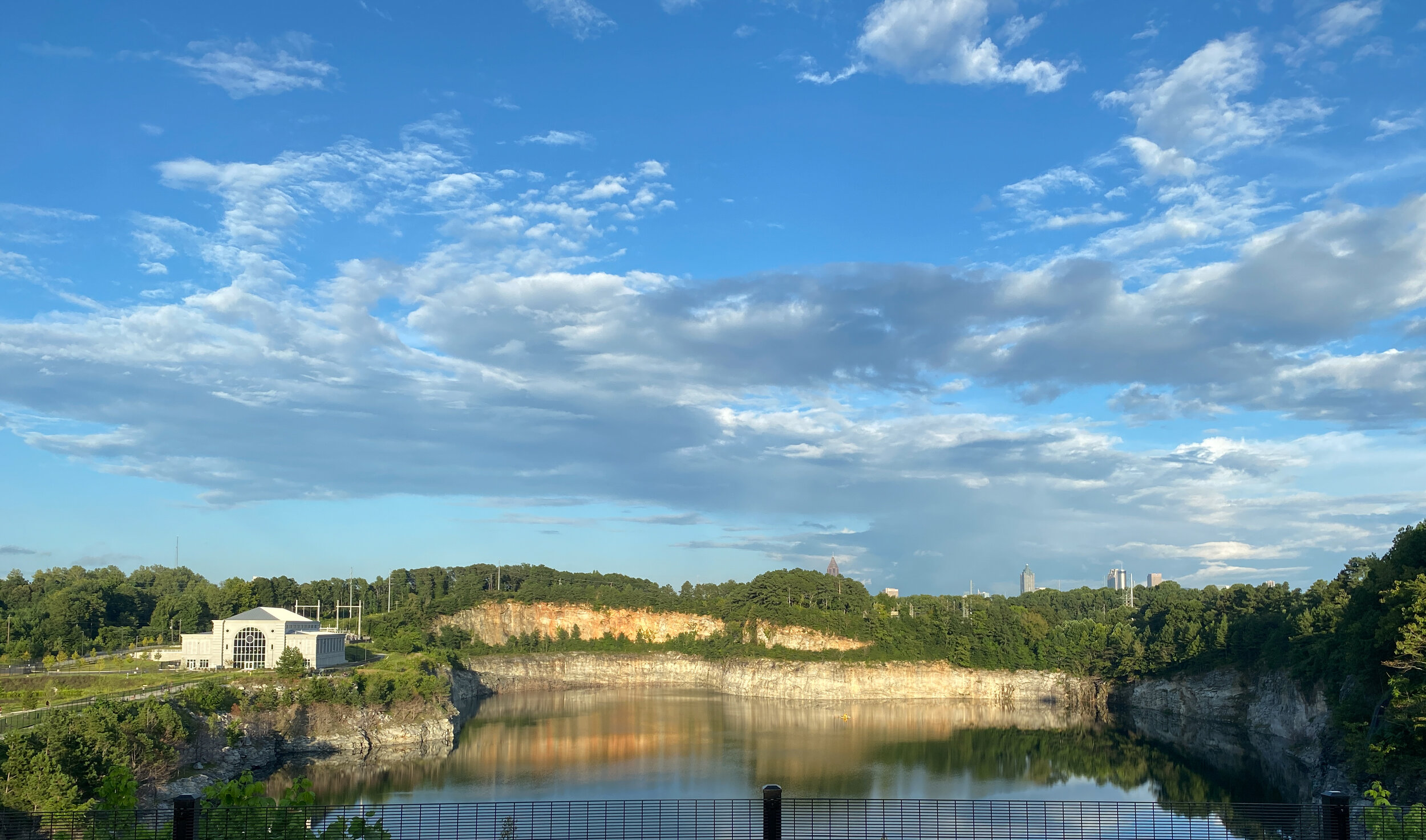
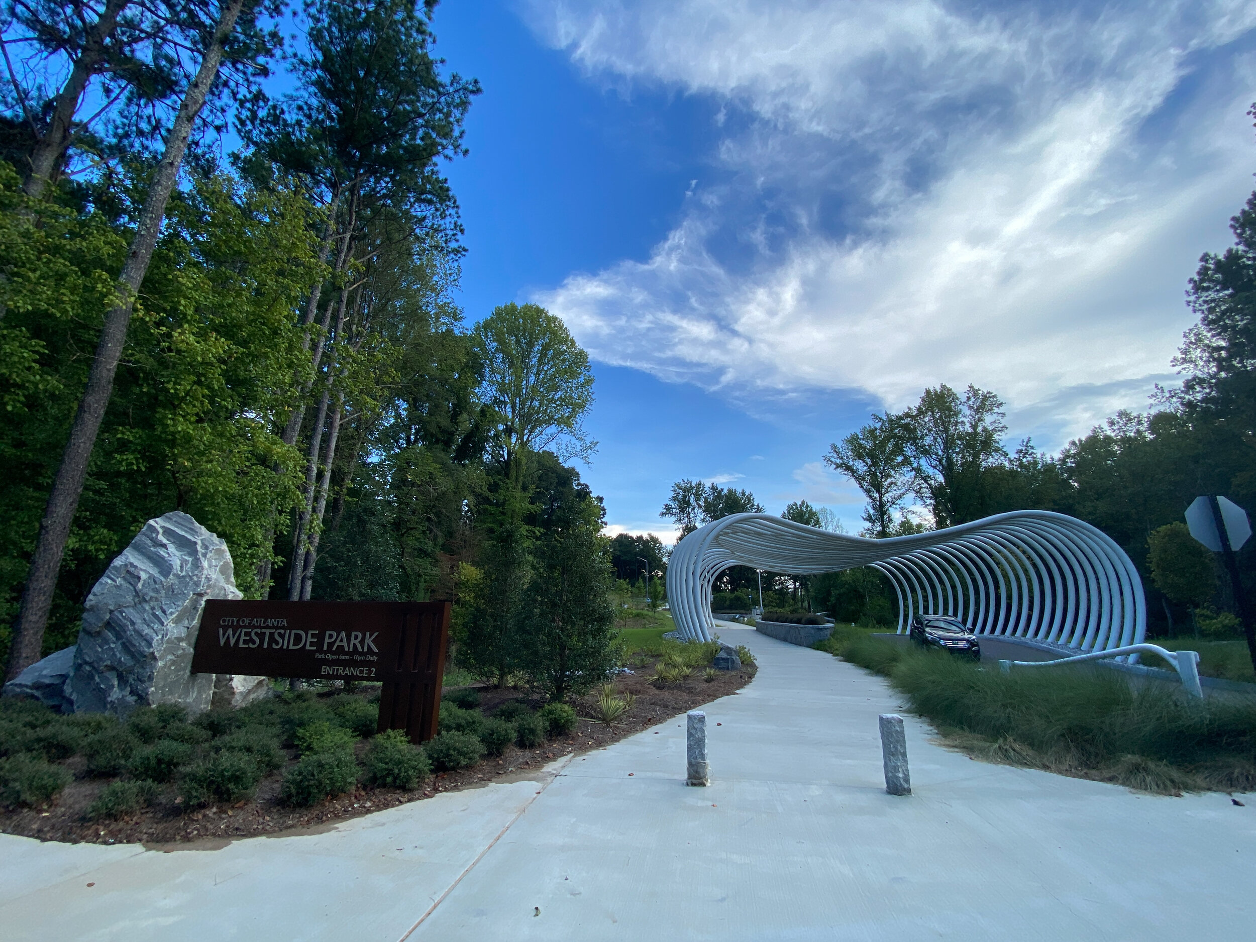
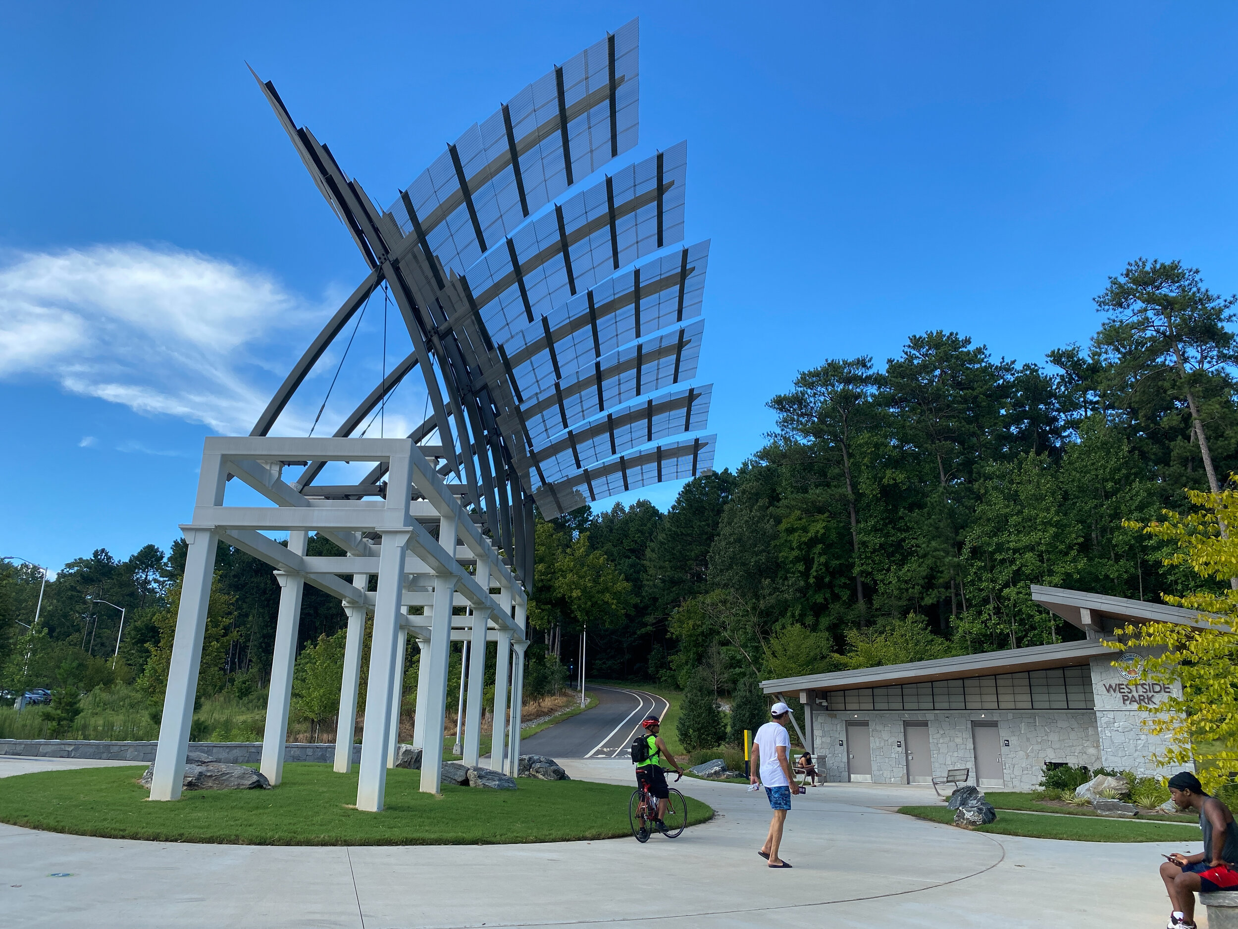
Westside Park
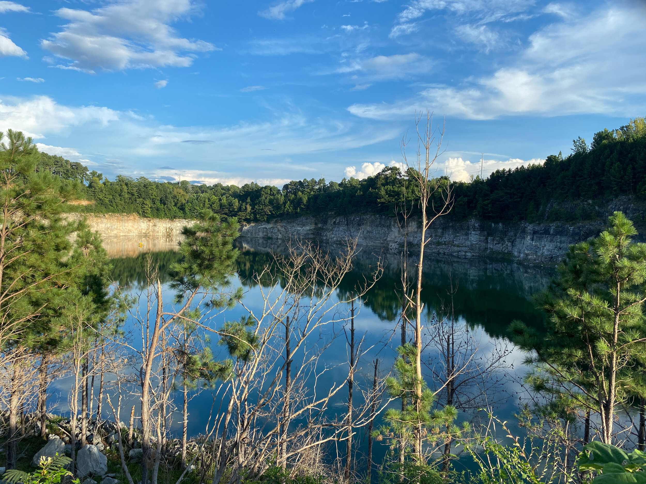
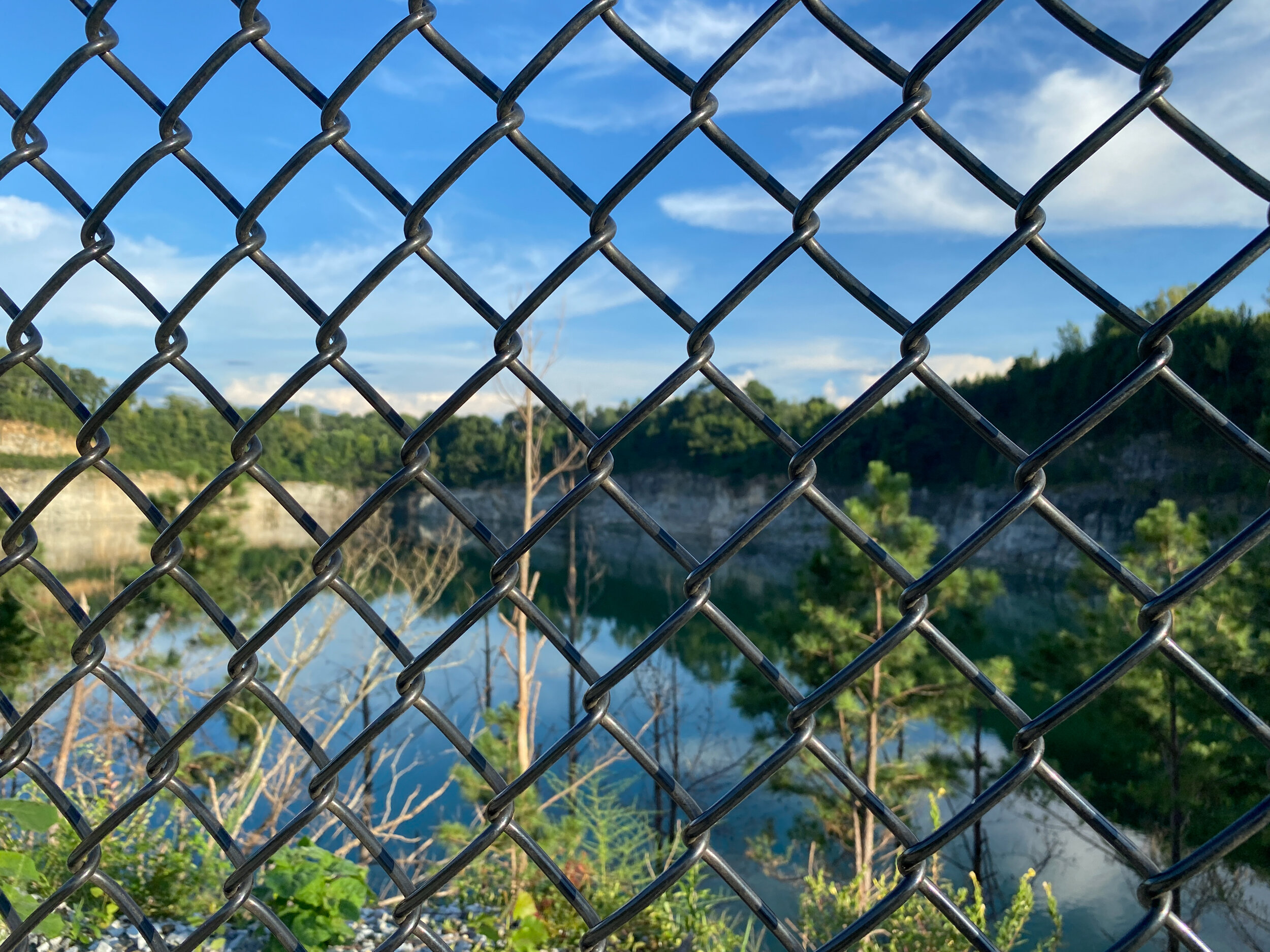
The Westside Park grand opening was held in August 2021. The former Bellwood Quarry has been converted into a reservoir for City of Atlanta water.
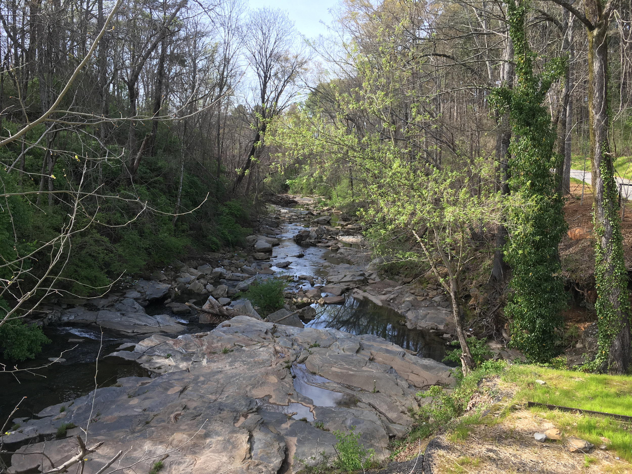
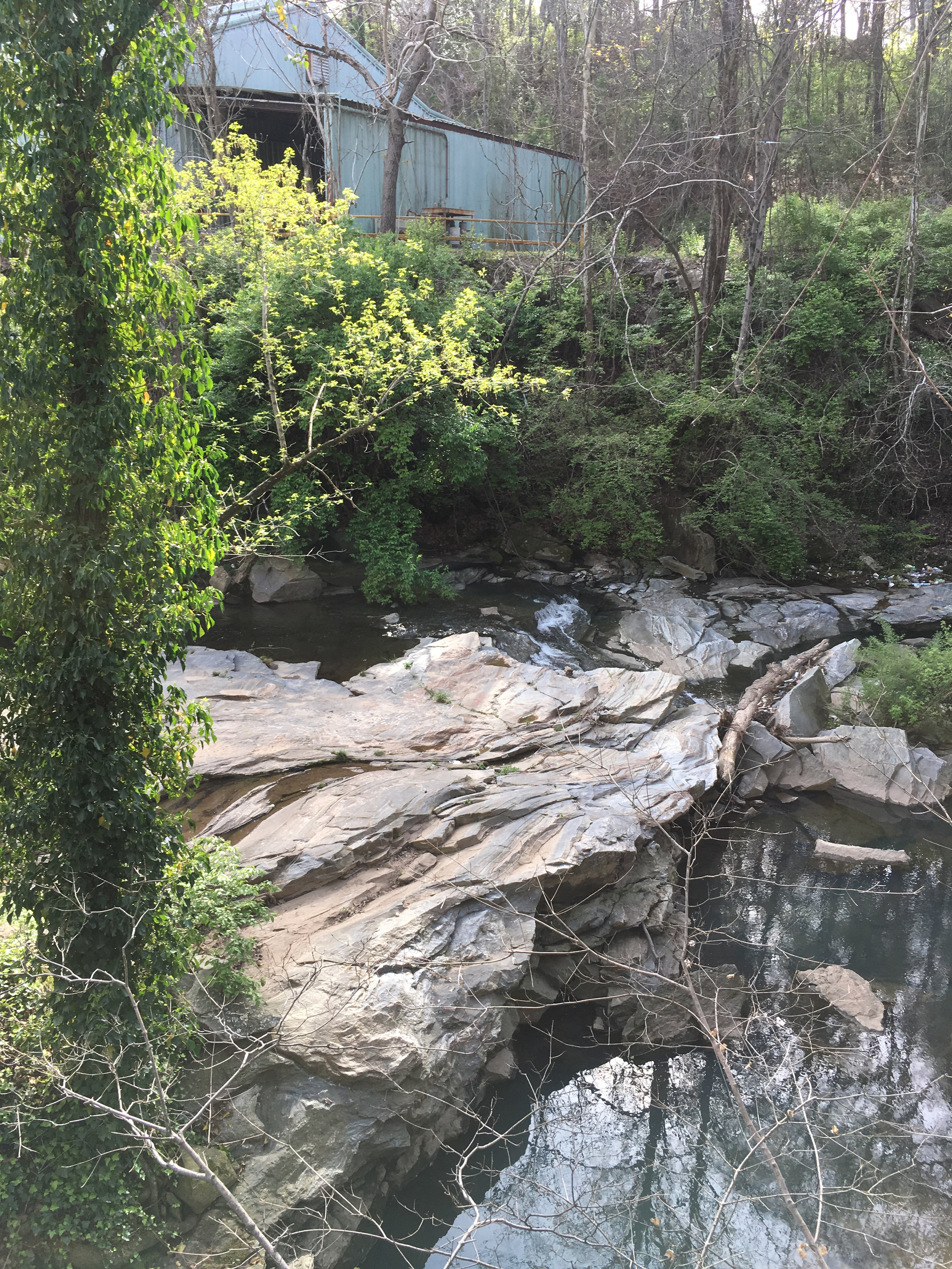
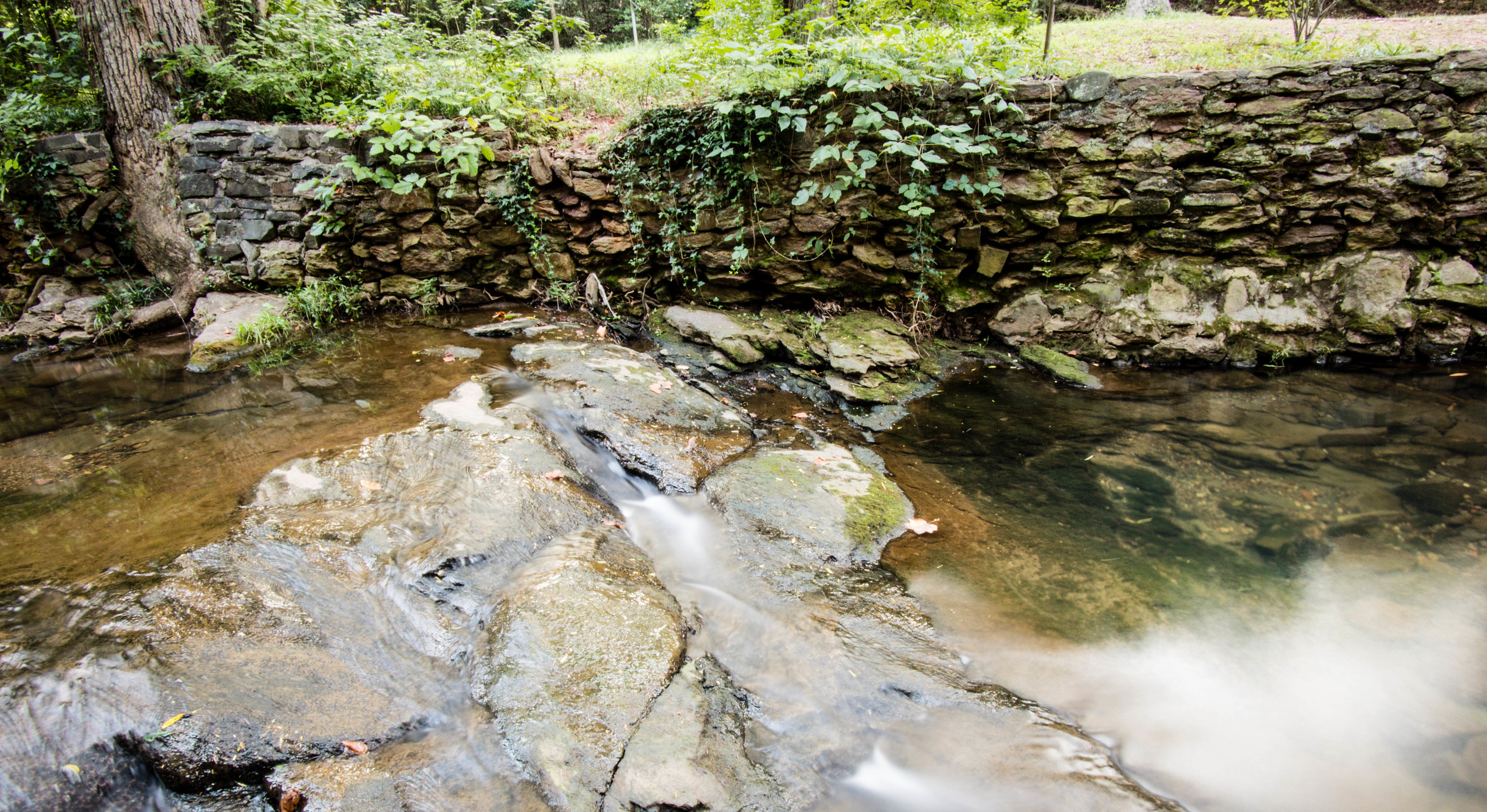
Bellwood Quarry was established in the 1890s to provide granite to the city and surrounding areas. The site was originally a Fulton County convict labor camp. More recently, the quarry was run by corporations. The city purchased the land from the quarry operator, Vulcan Materials, in 2006. This column by Sundiata Rush for the Saporta Report includes some more information about the history of the site.
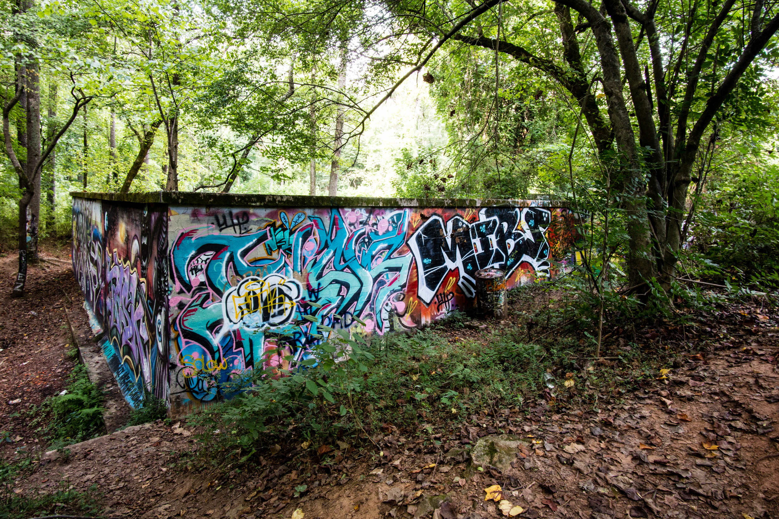
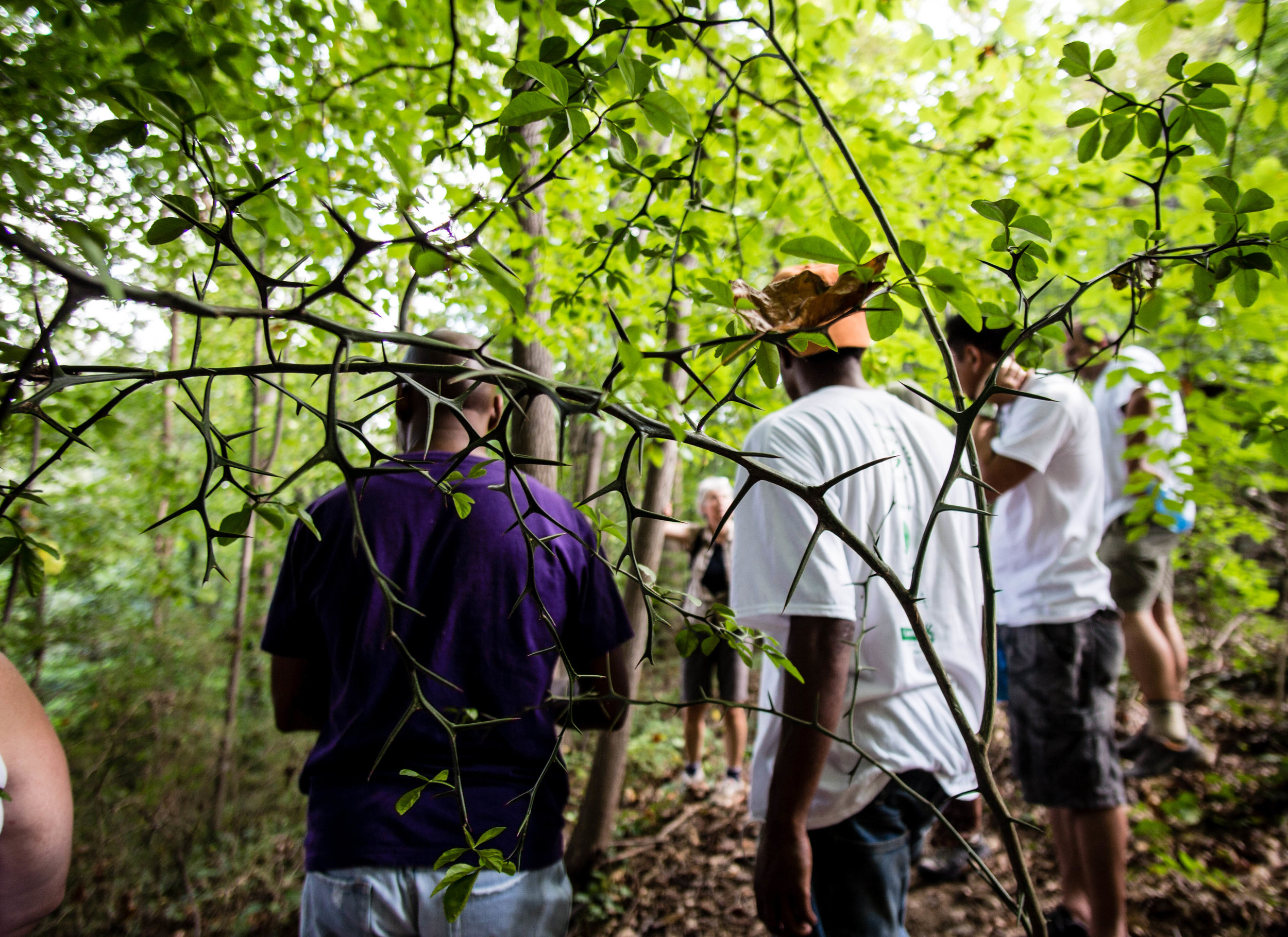
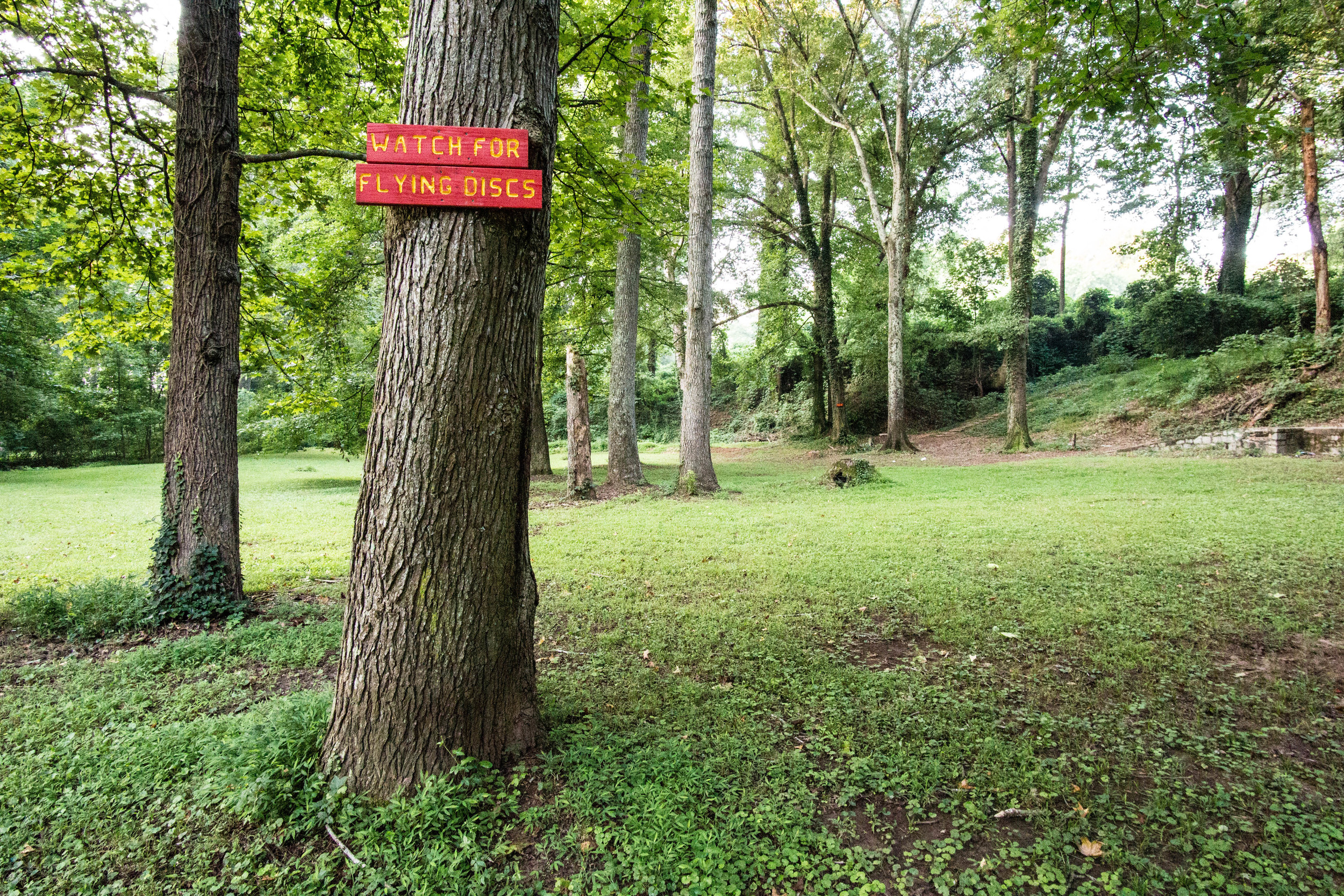
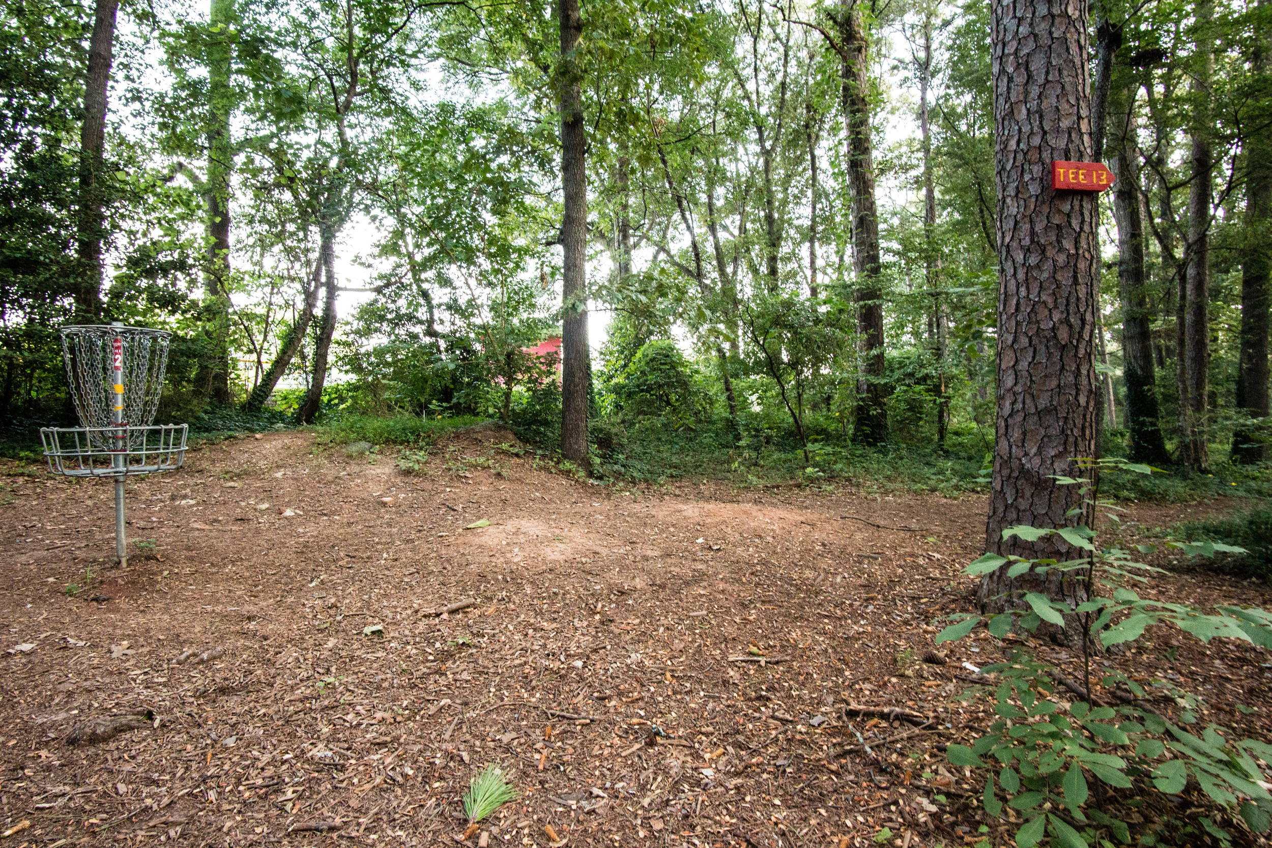
A number of movies & TV shows have been filmed at the quarry, including The Hunger Games and Stranger Things.
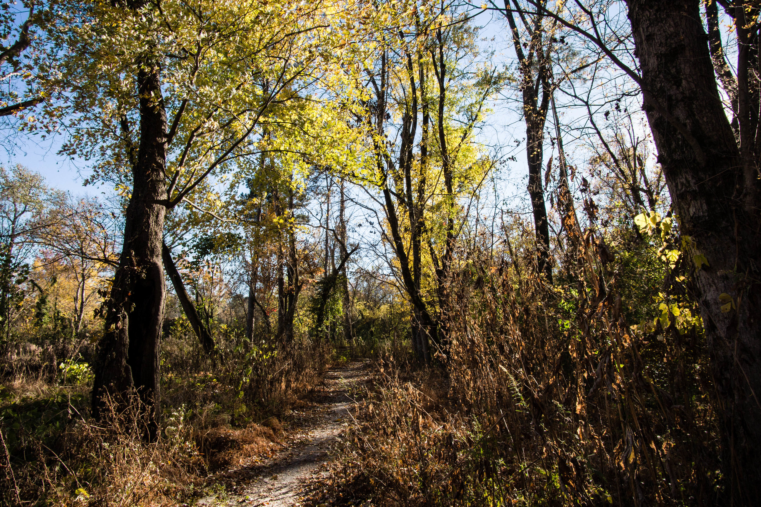
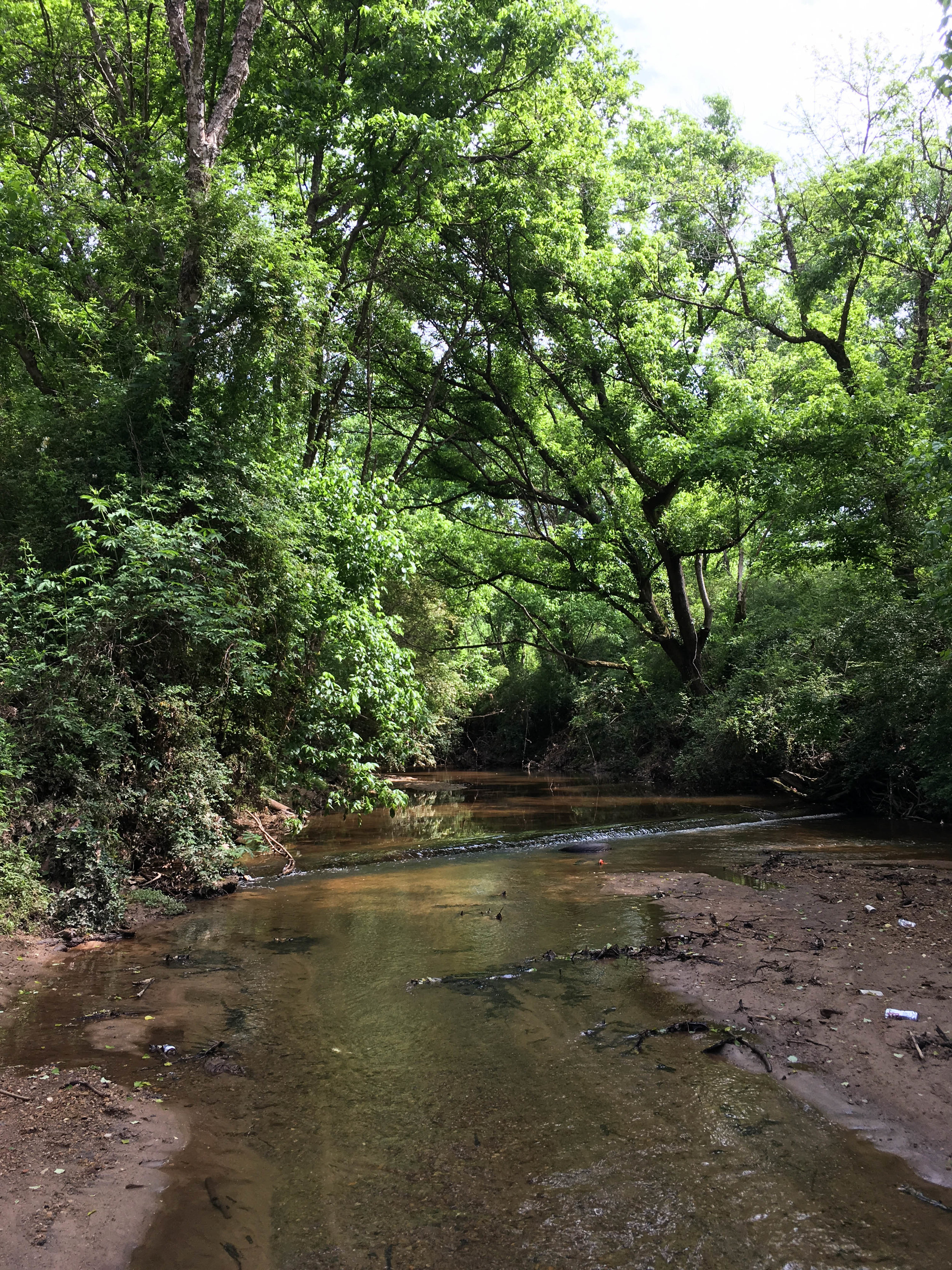
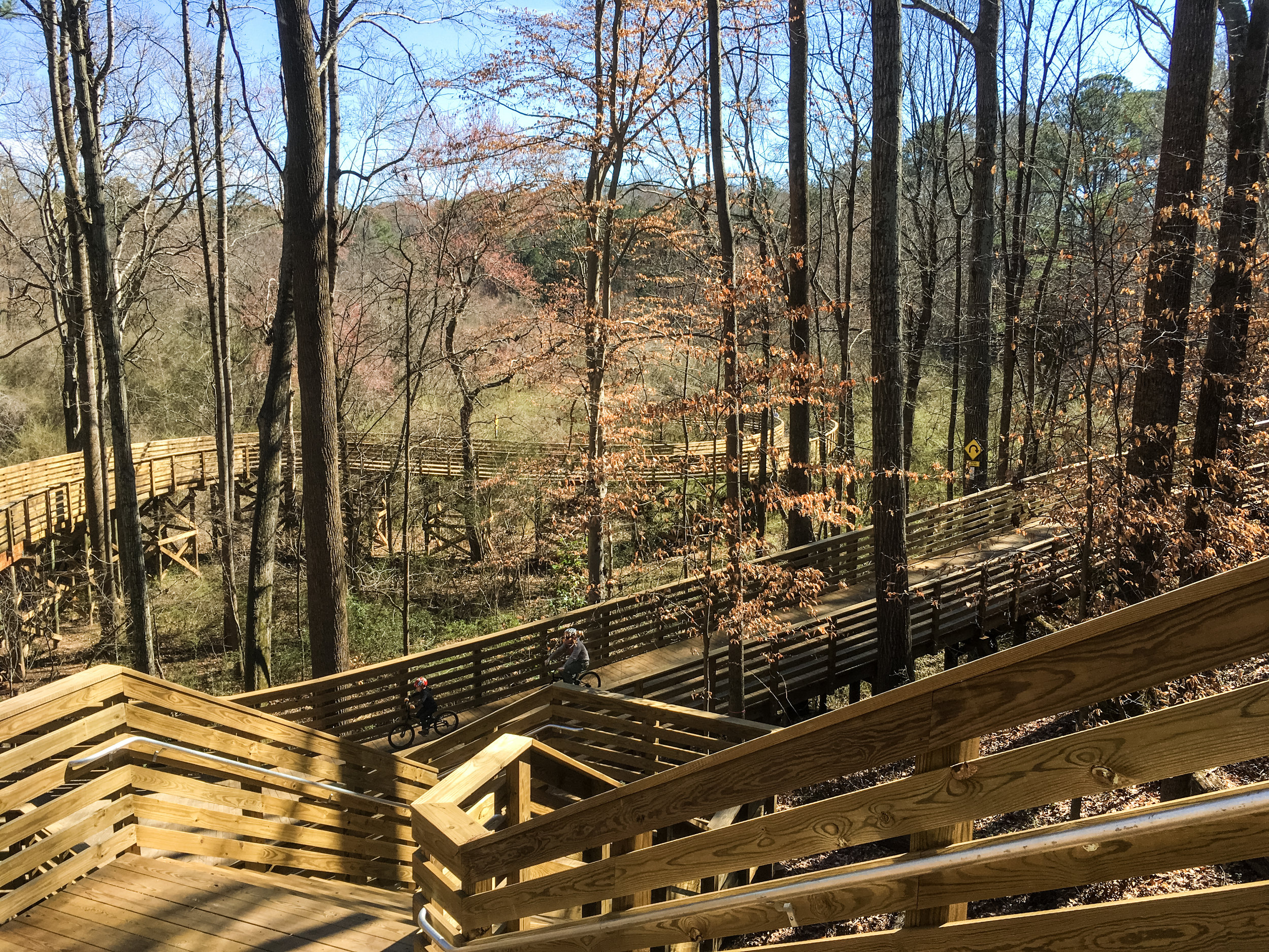
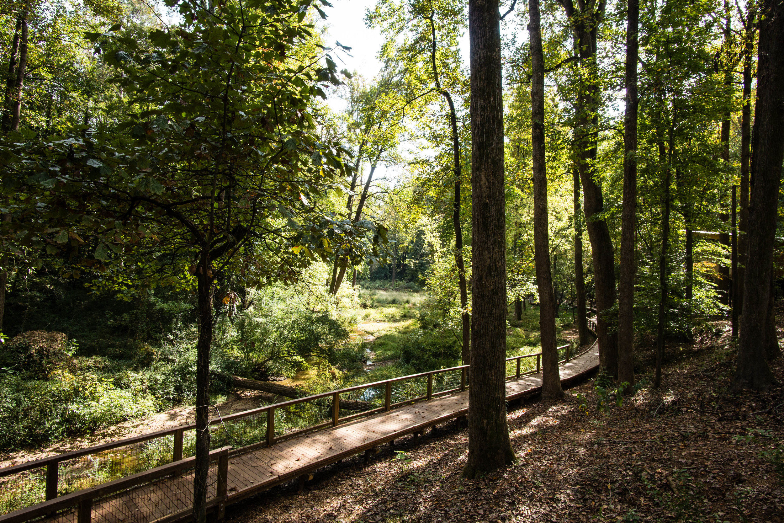
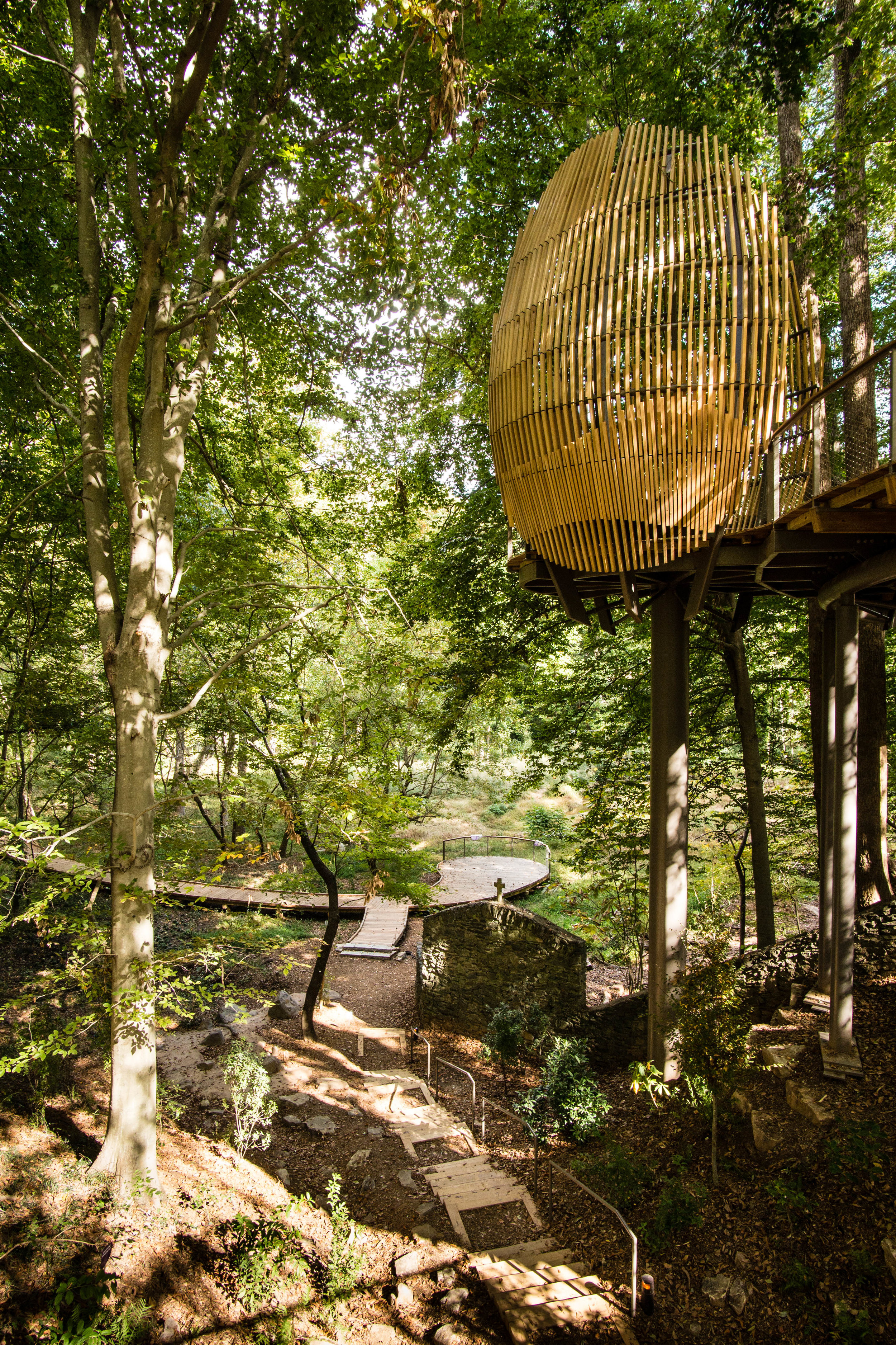
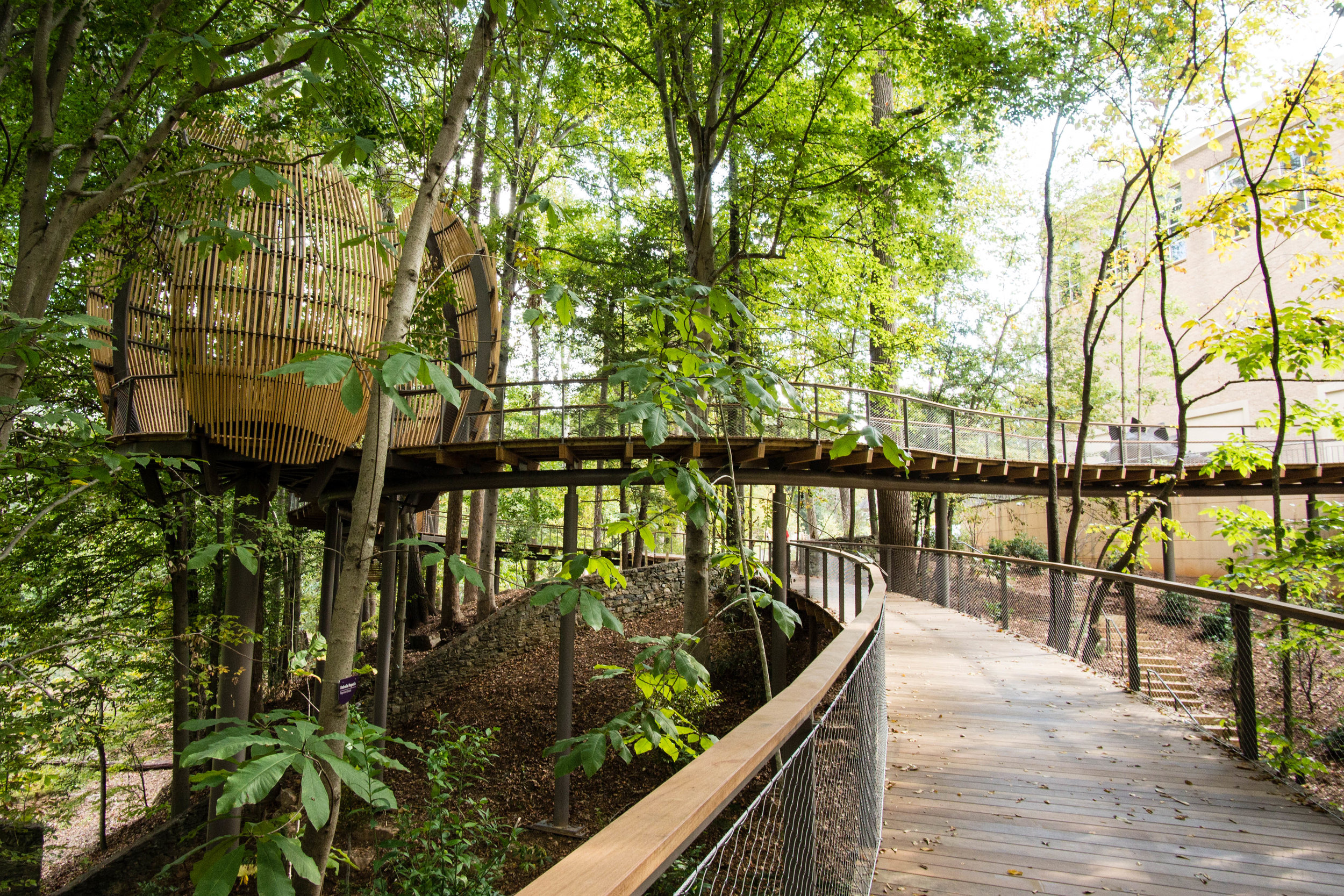
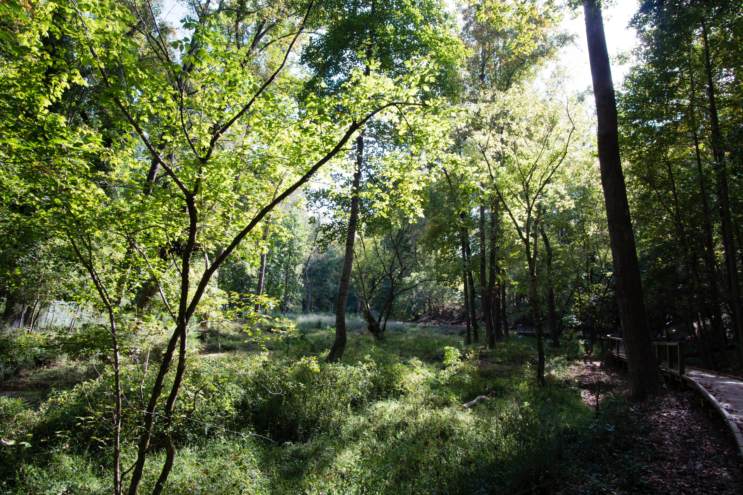
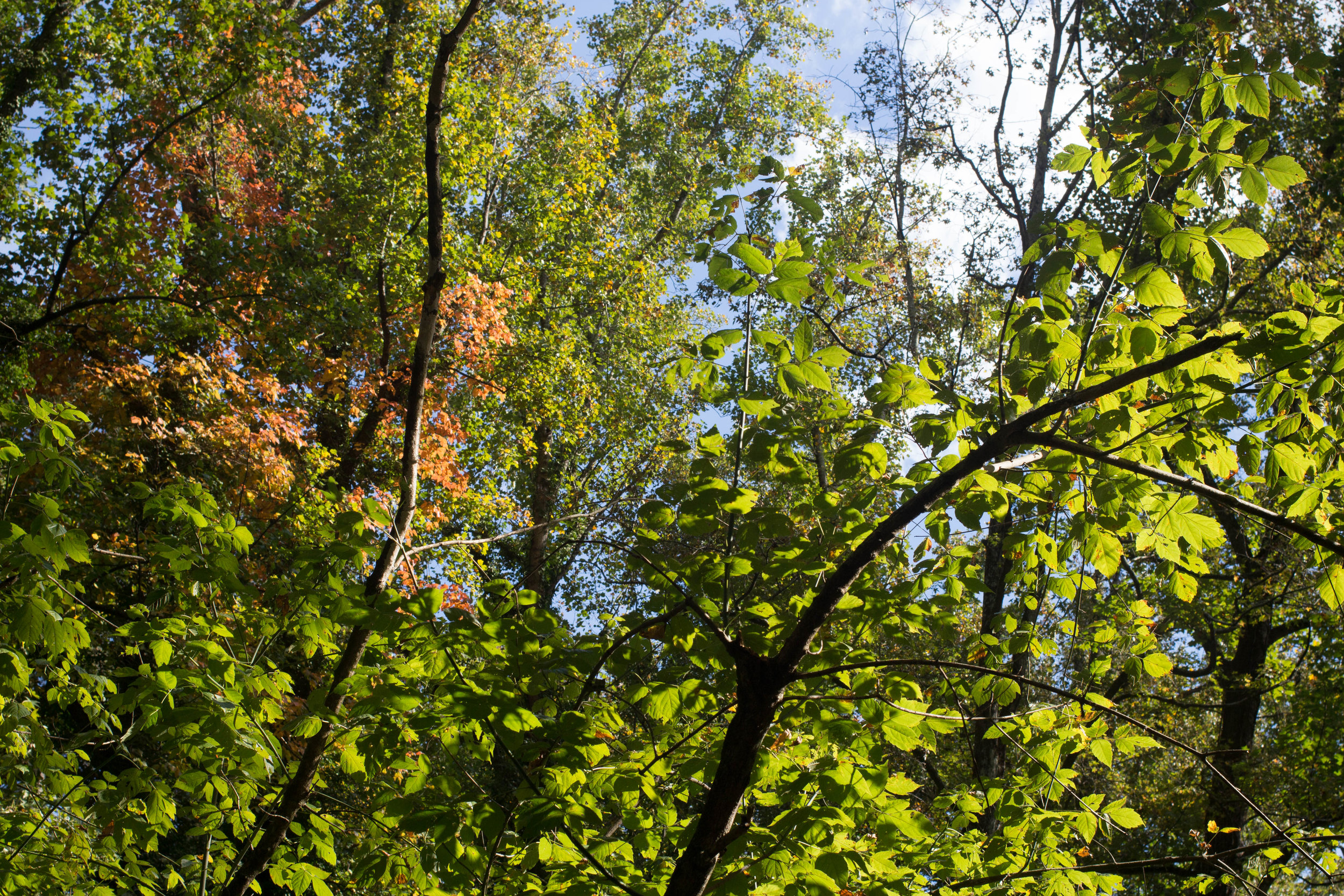
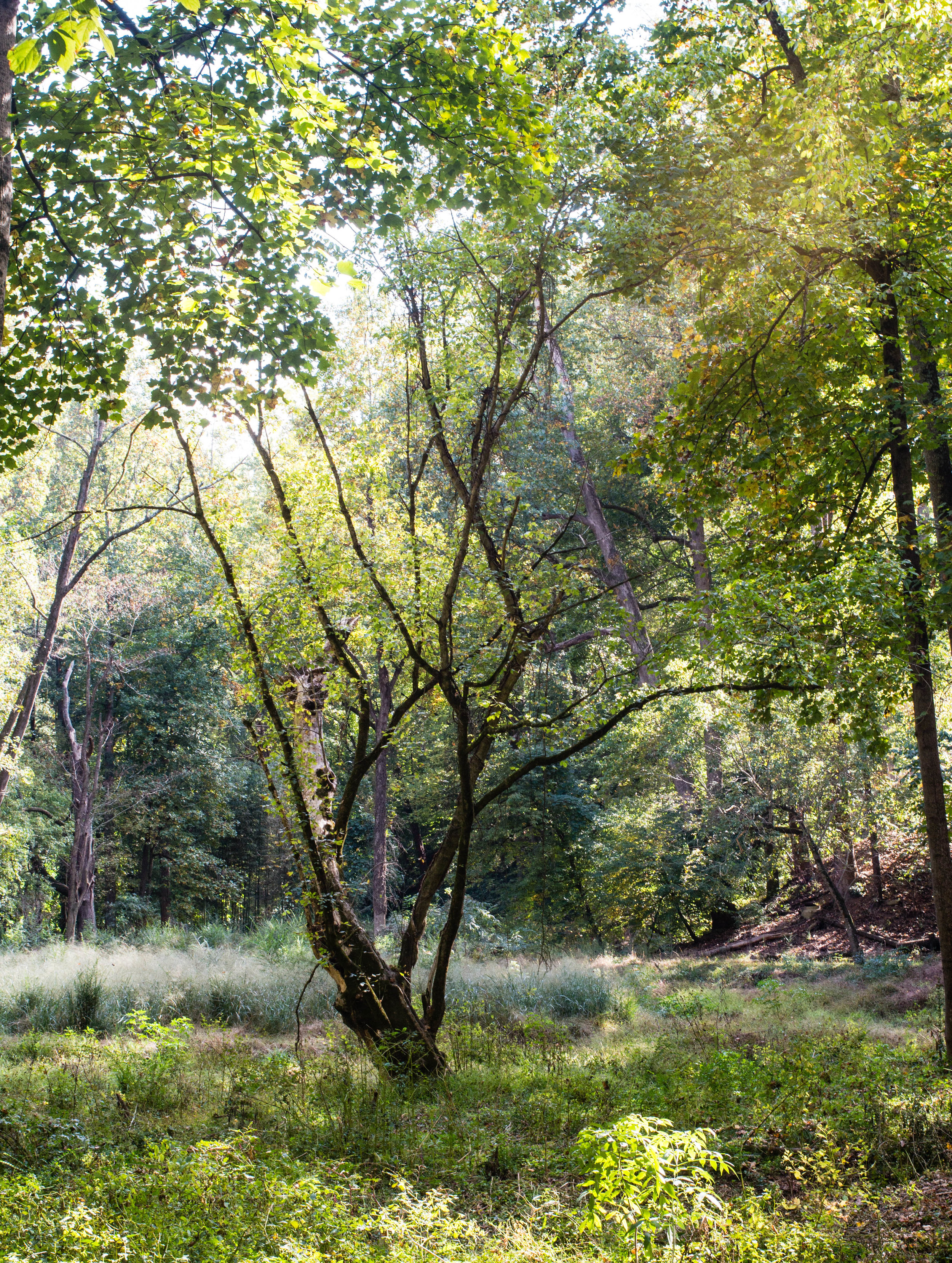
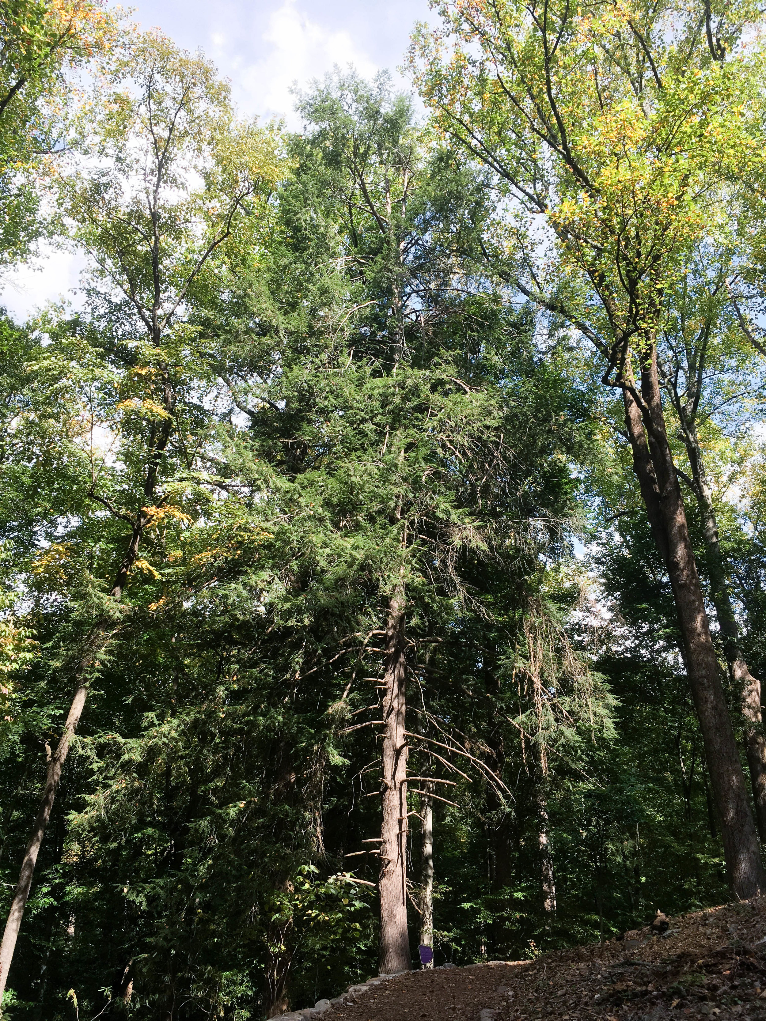
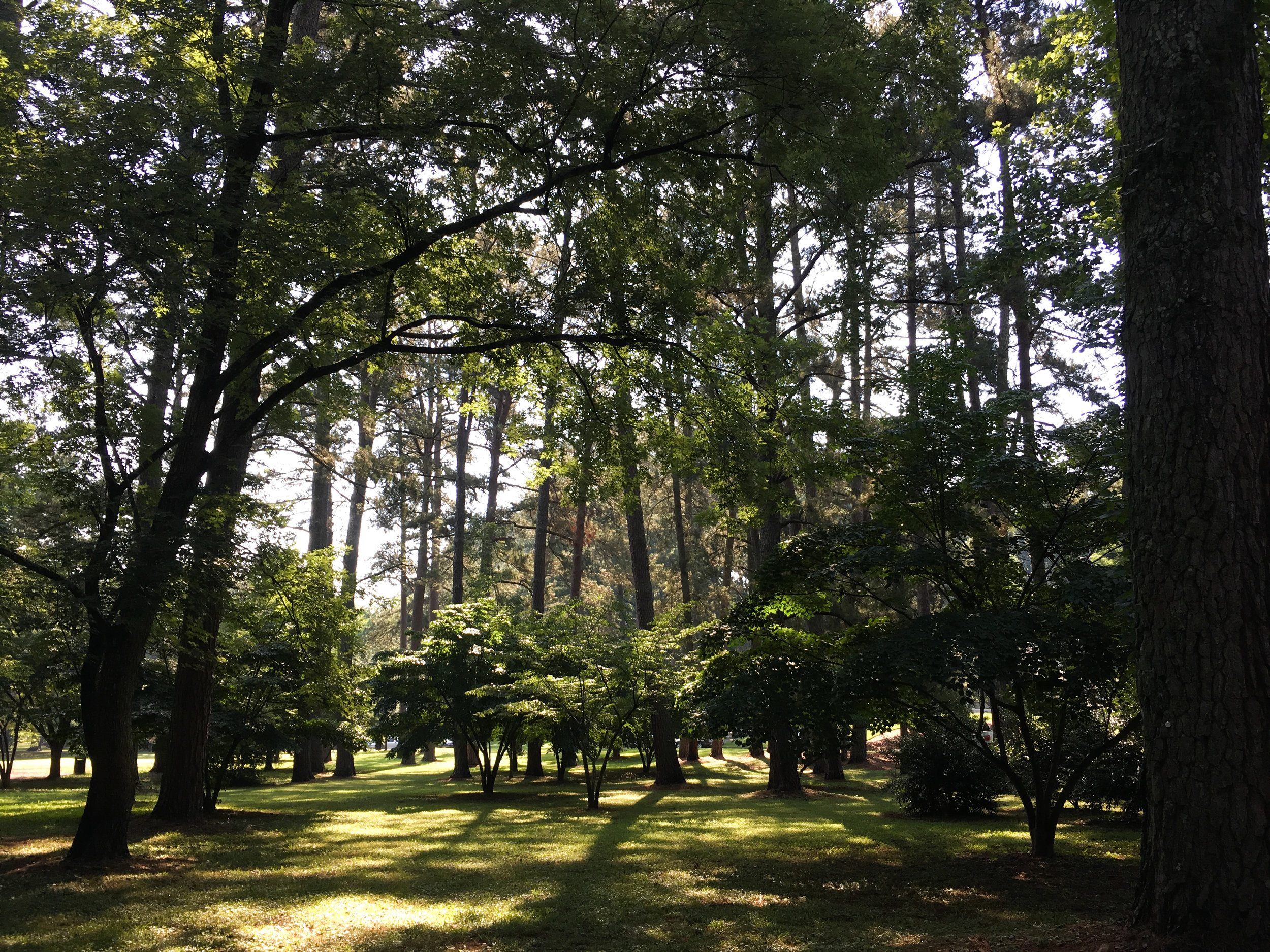
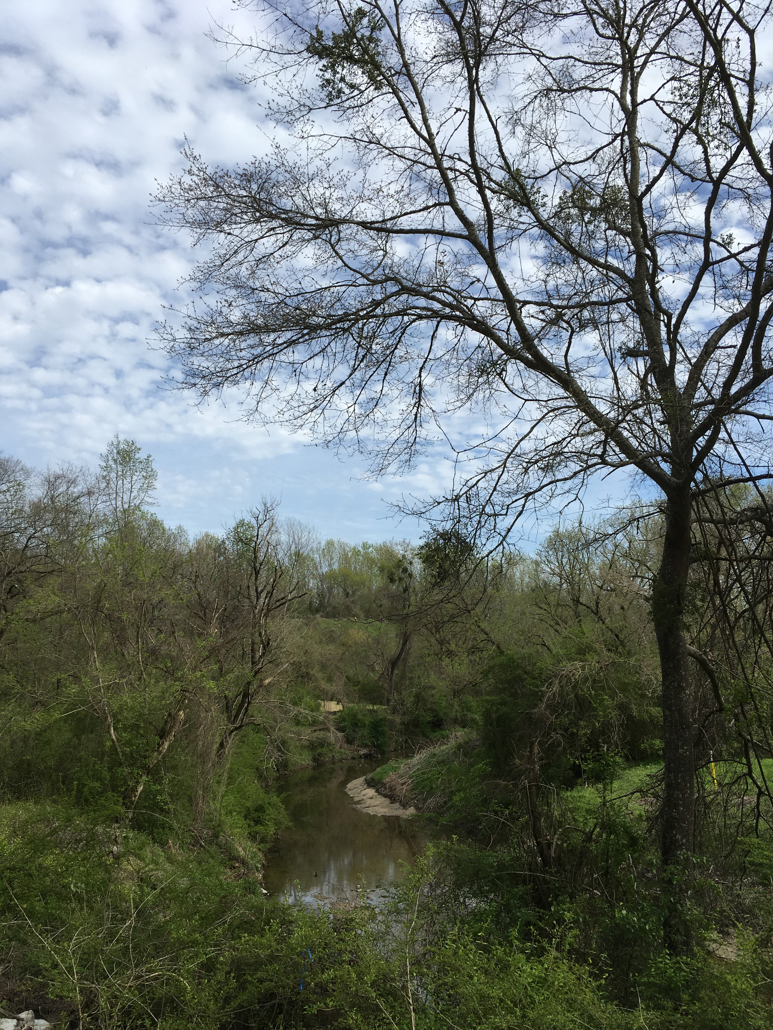
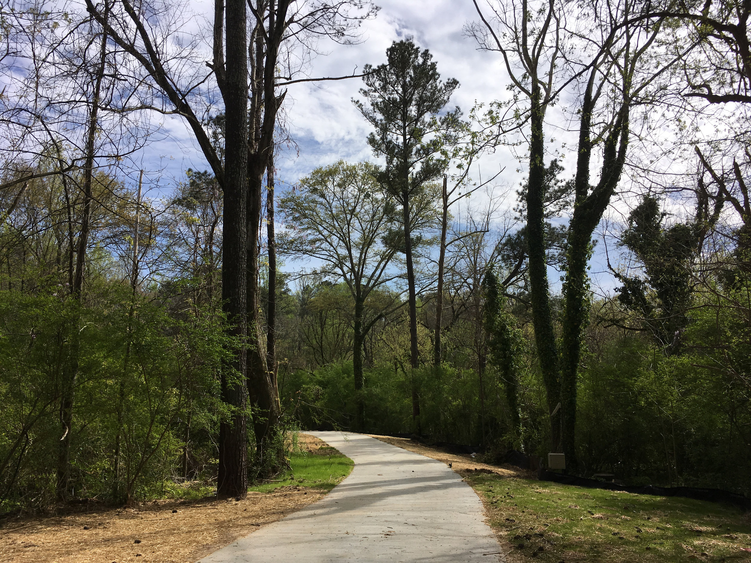
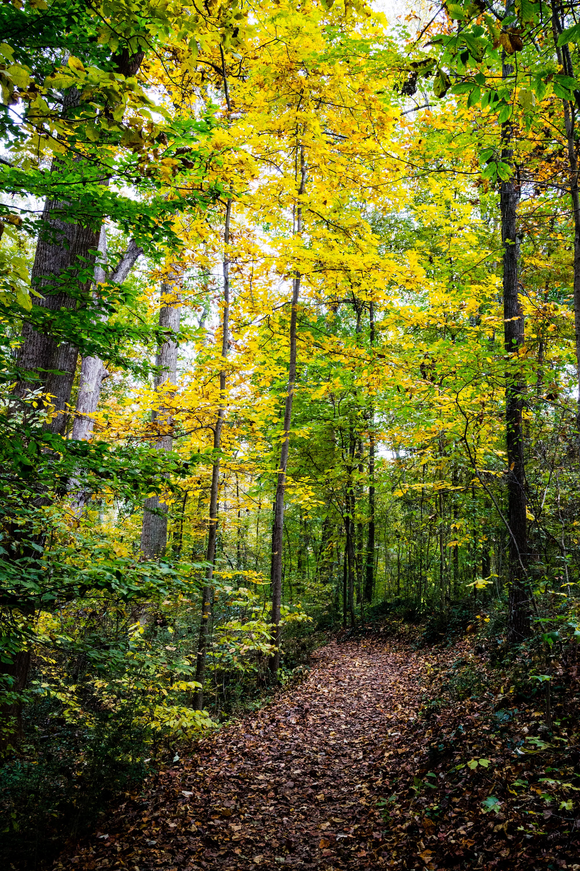
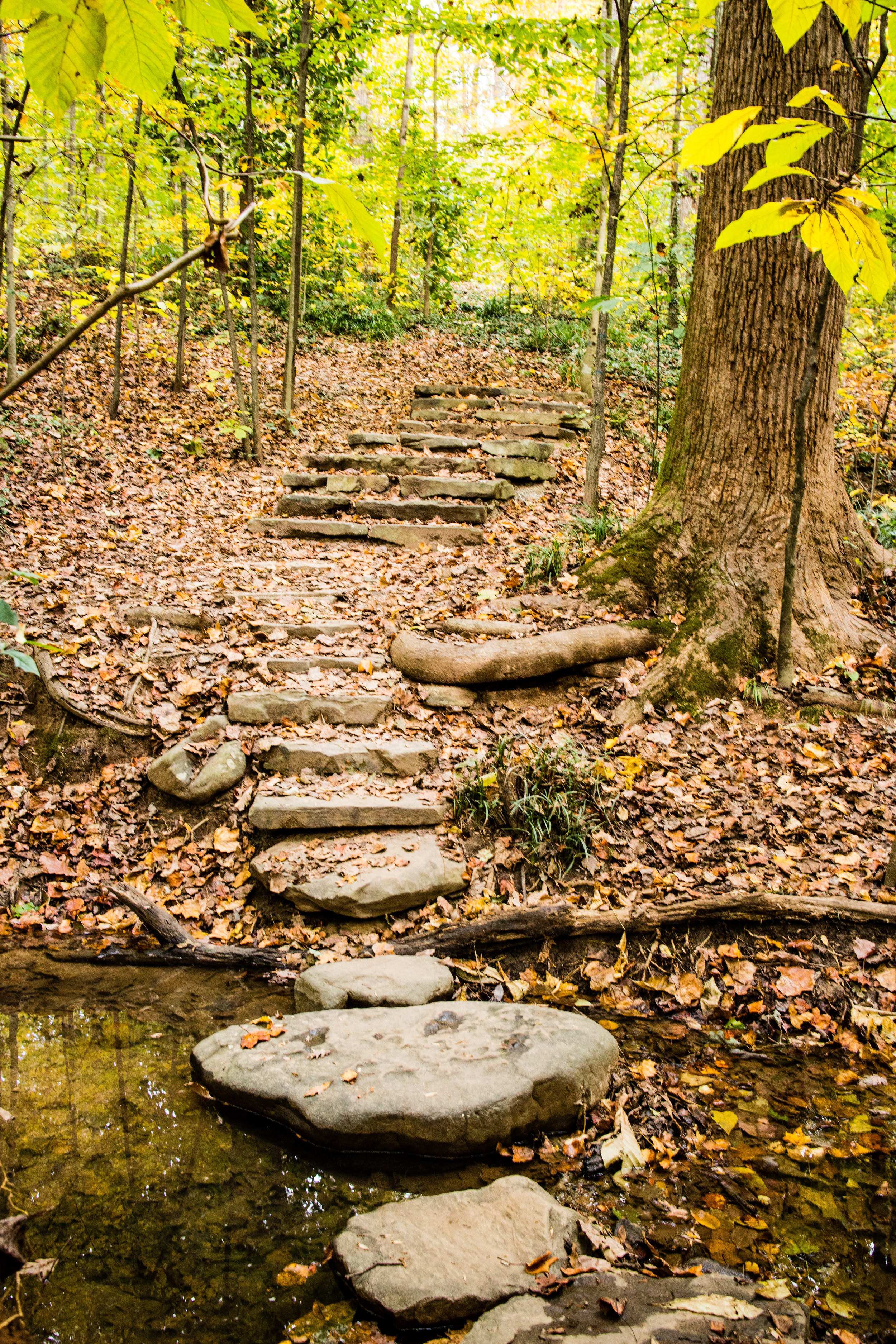
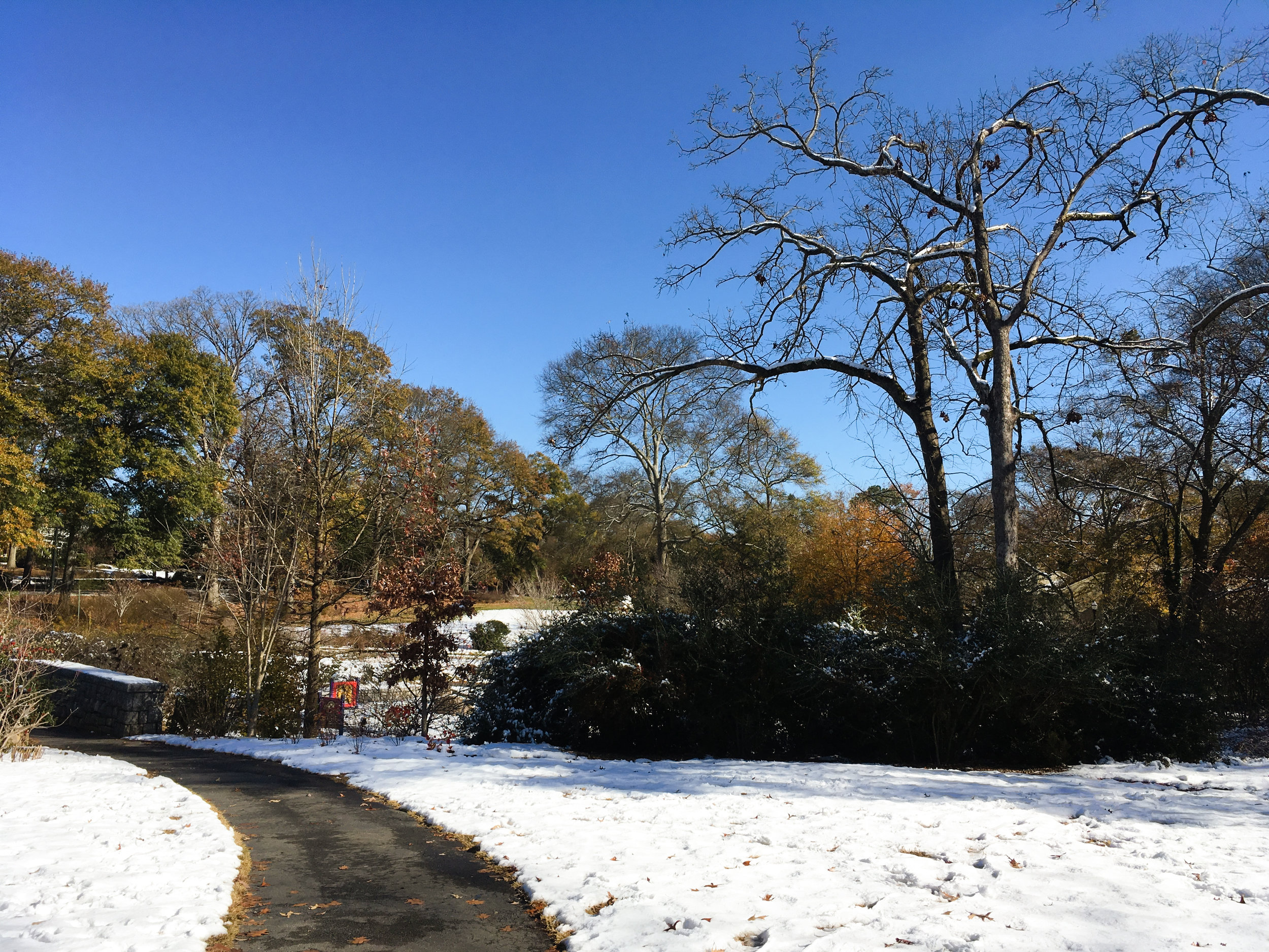
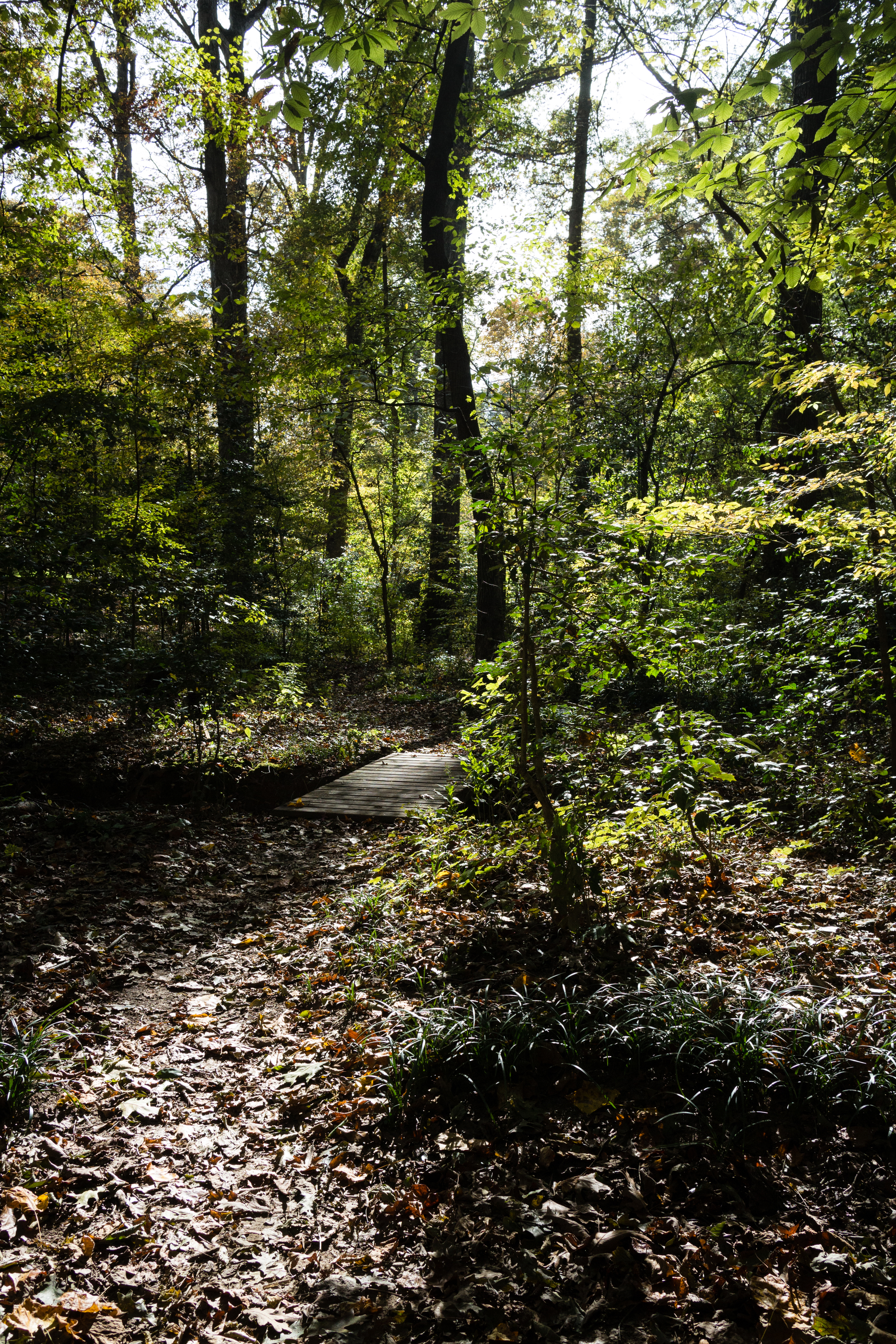
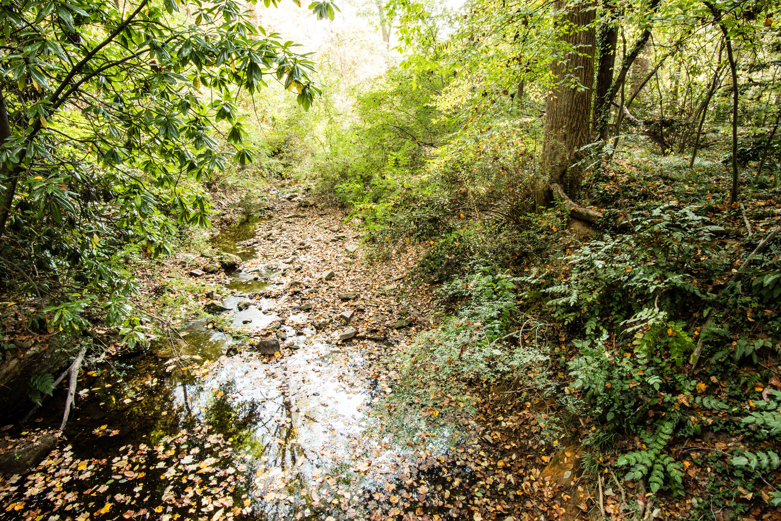
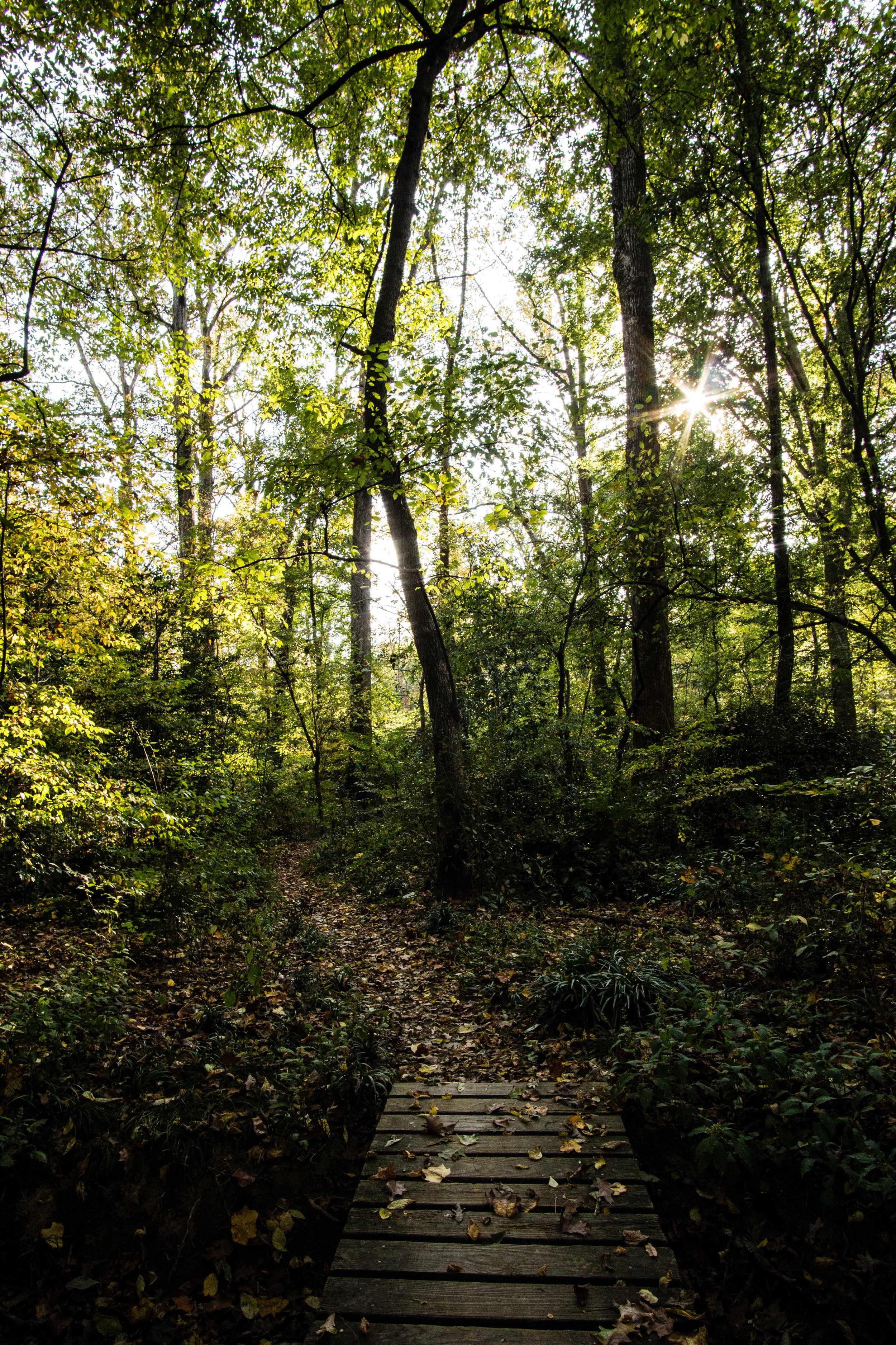
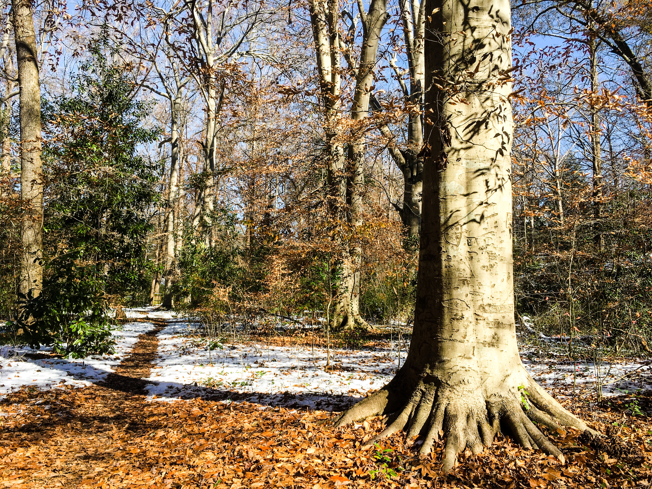
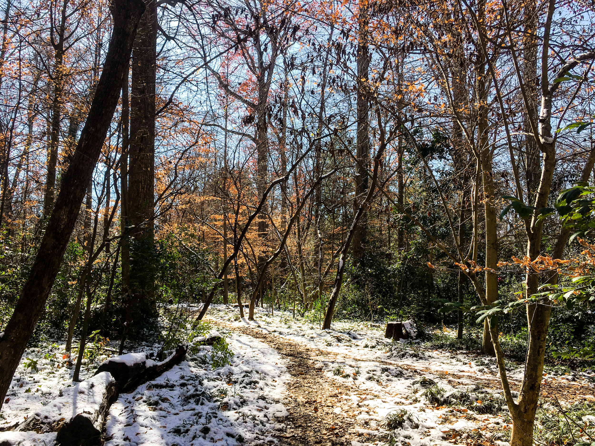
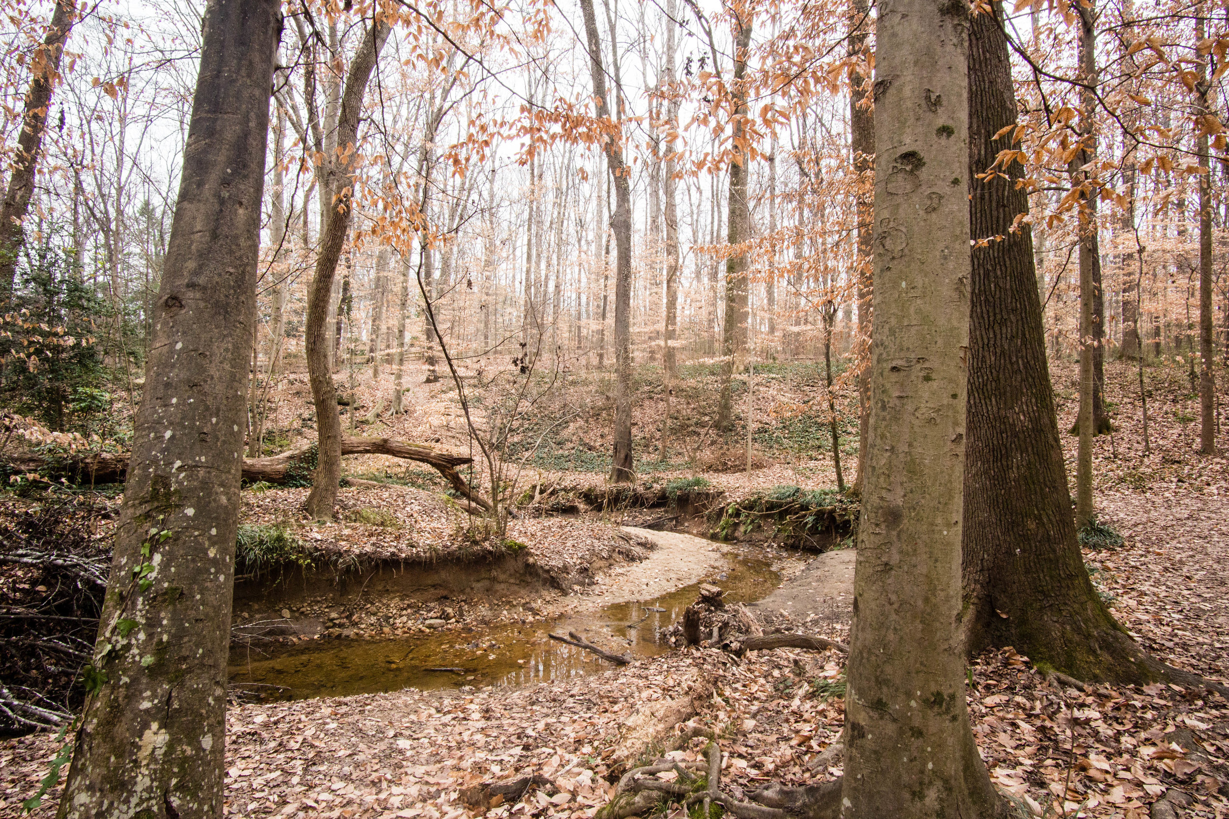
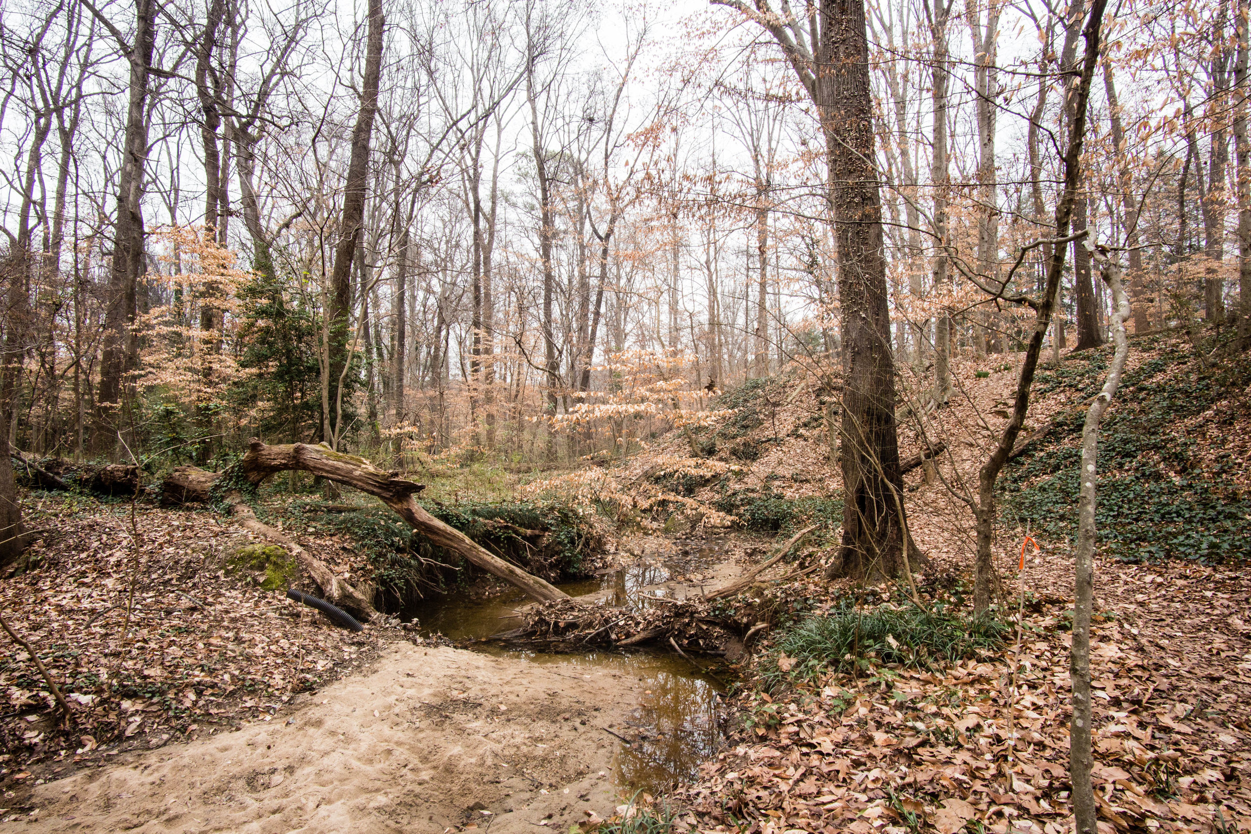
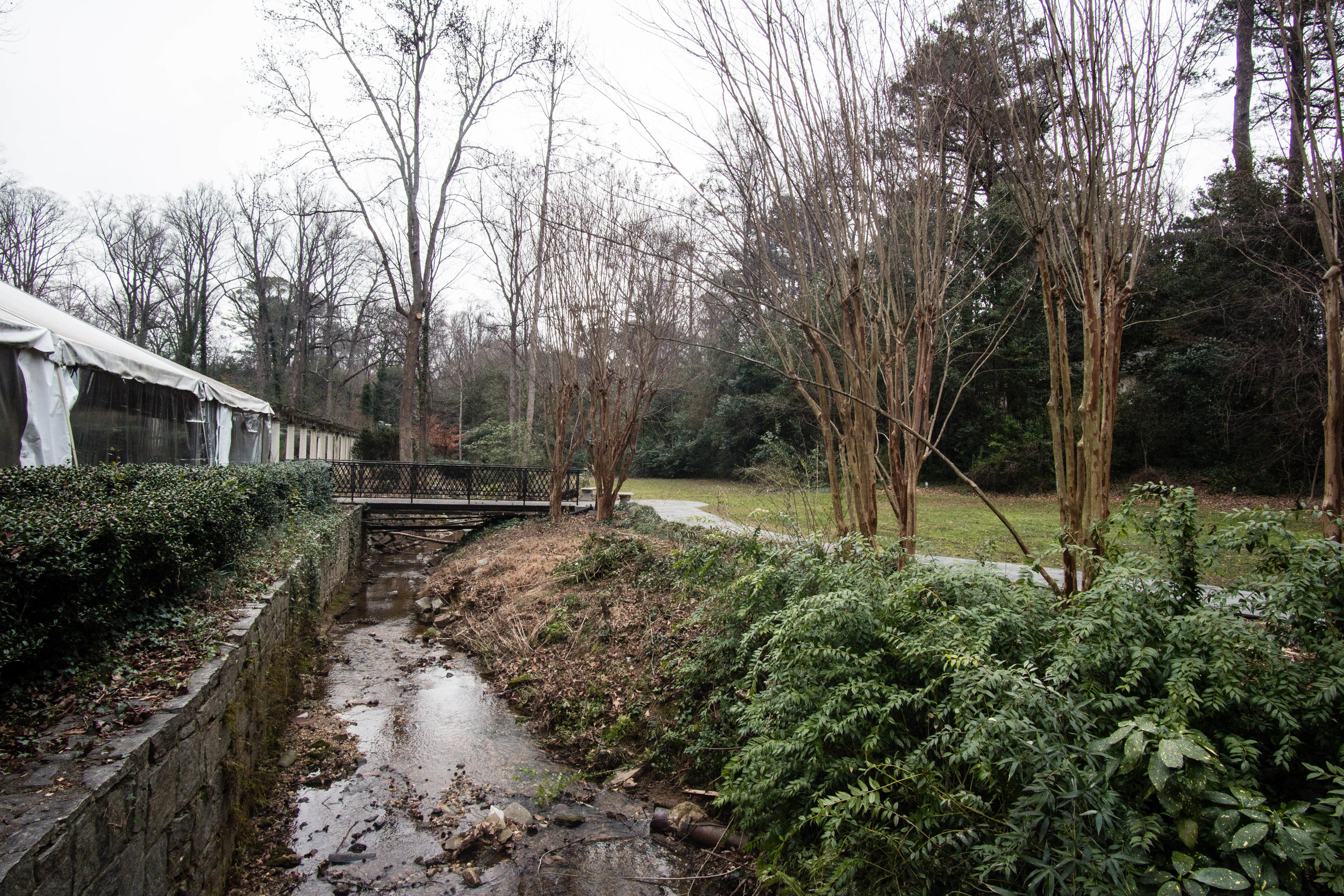
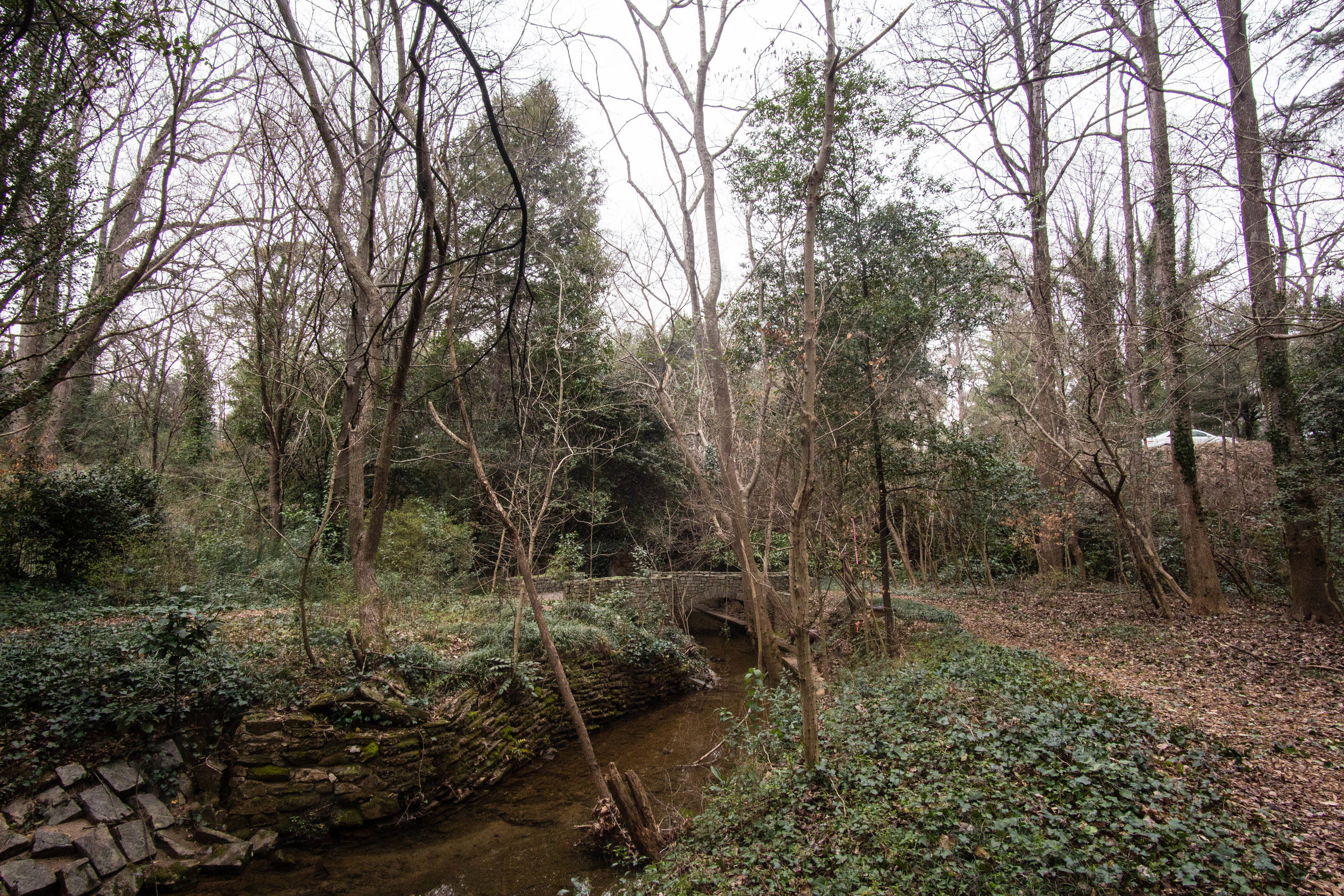
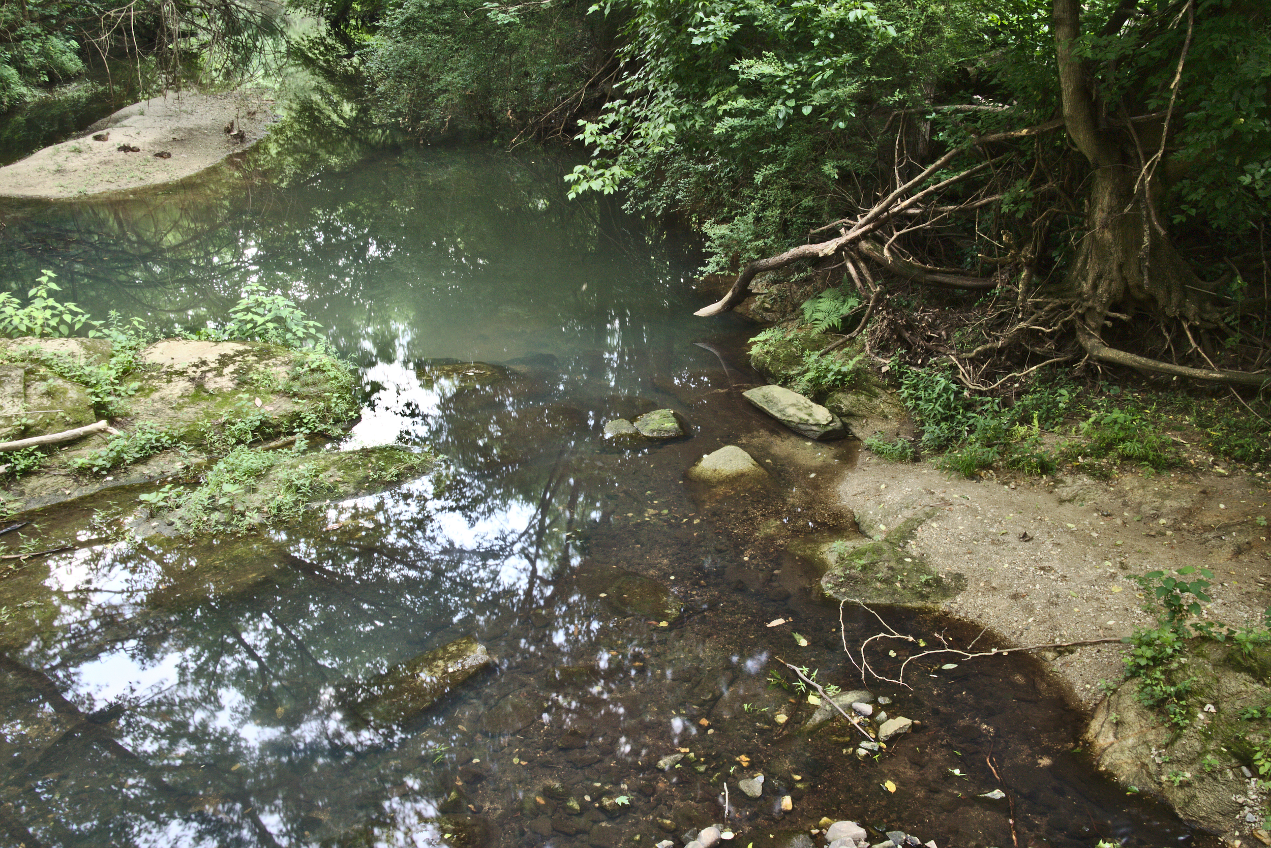
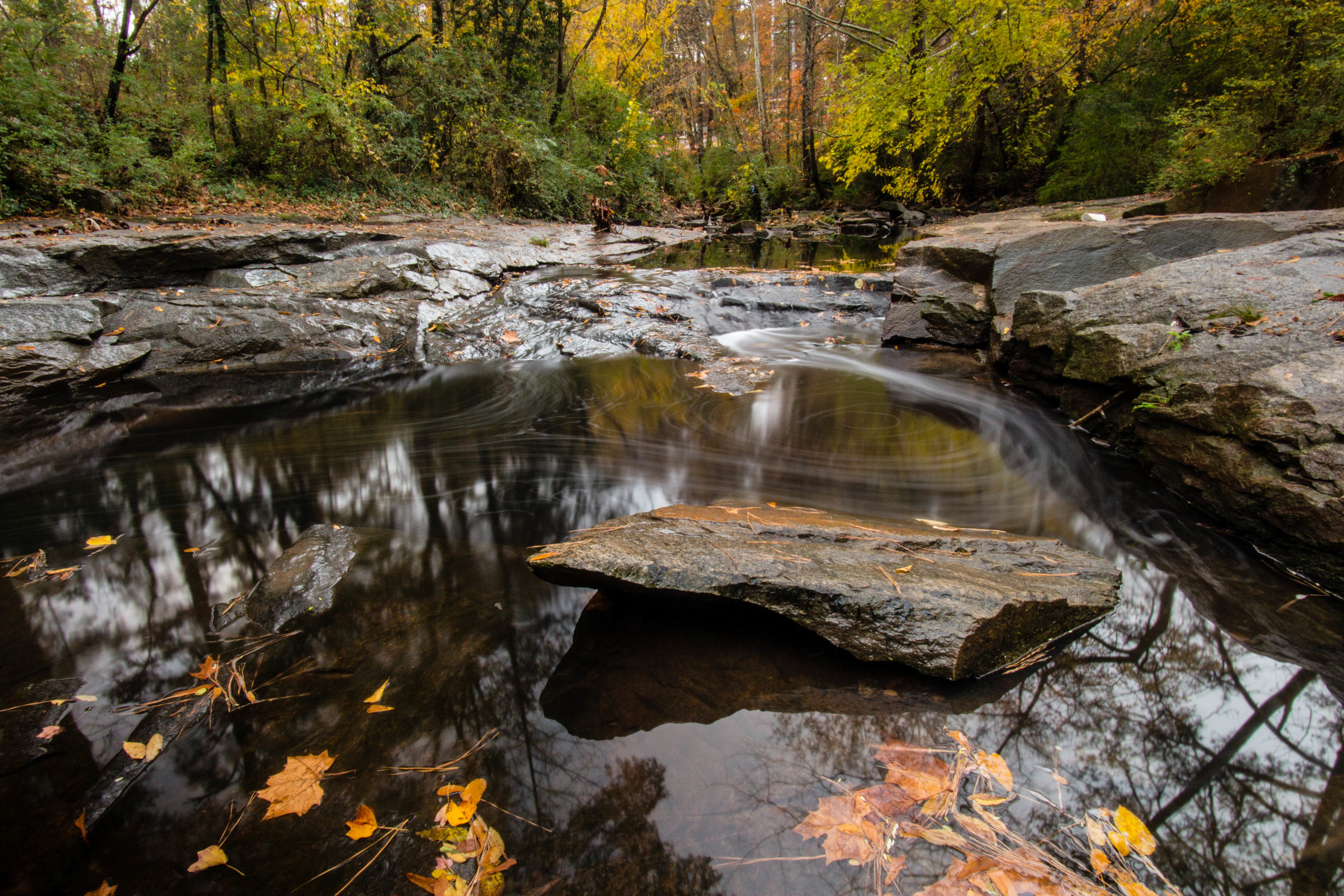
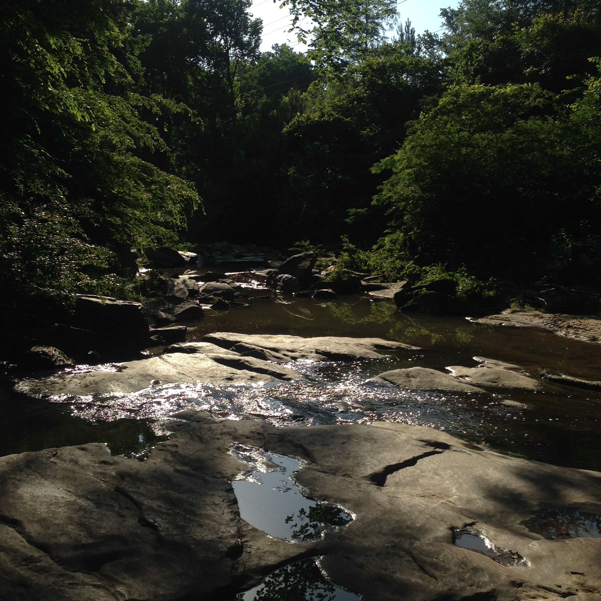
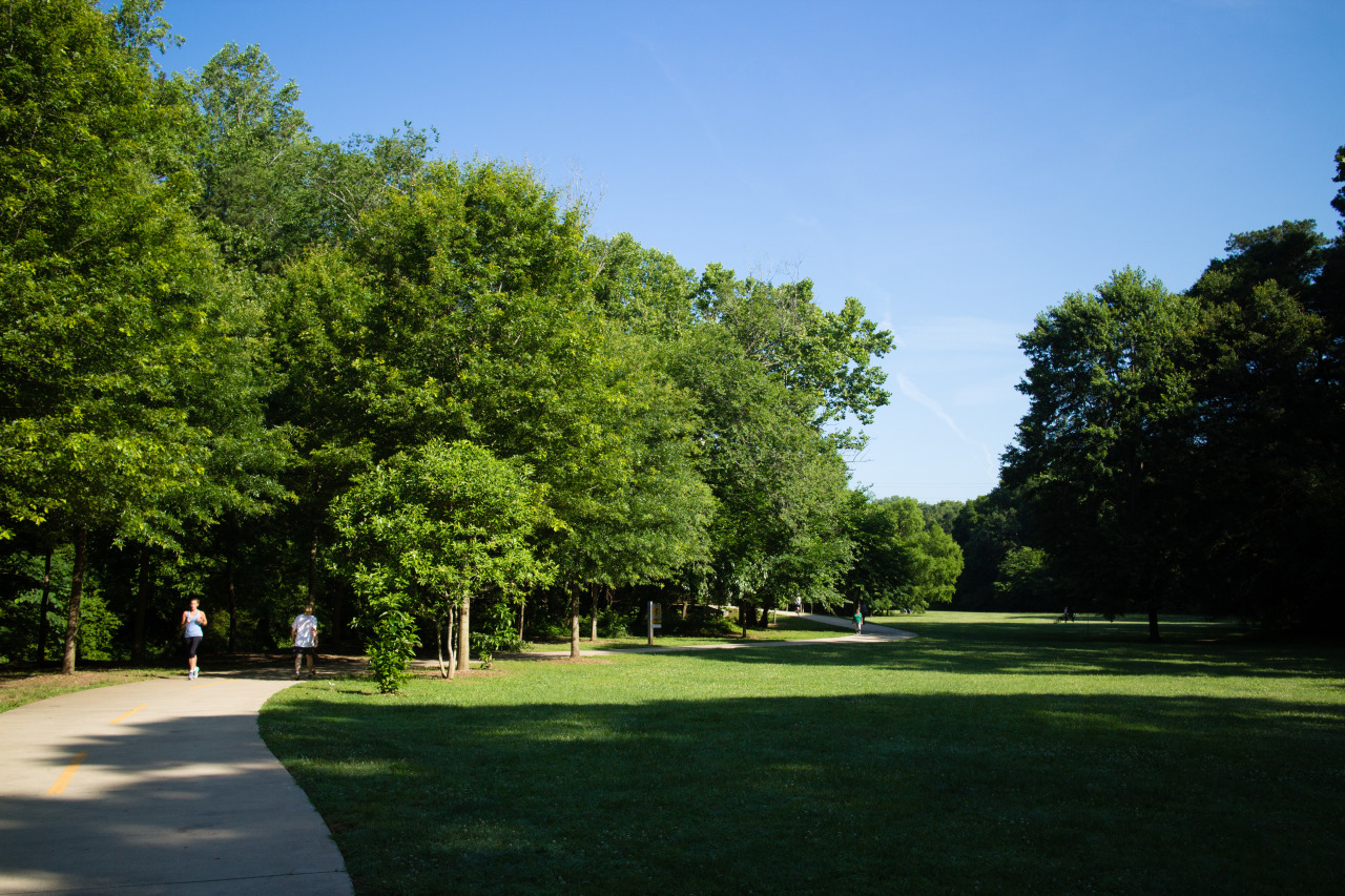
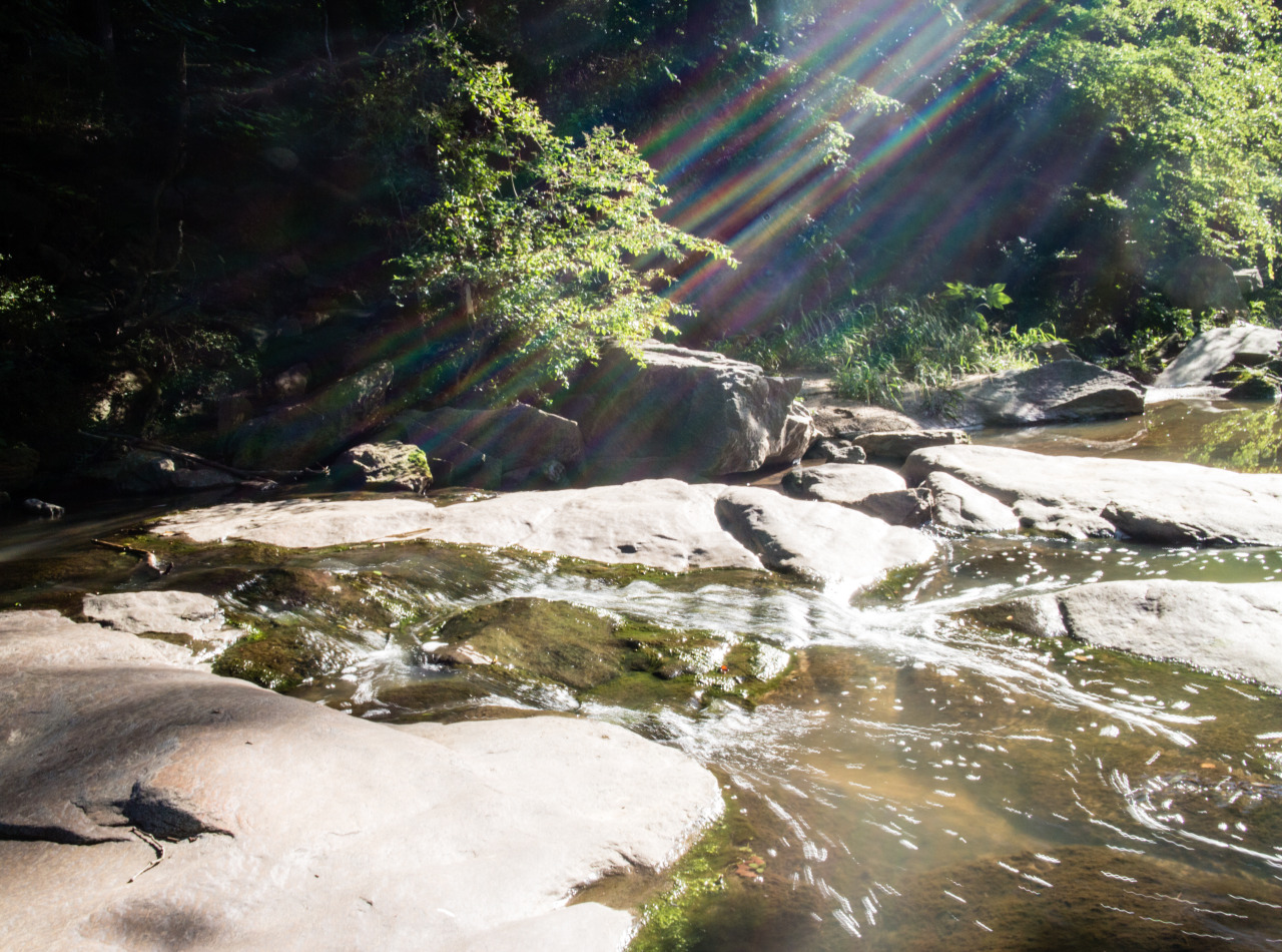
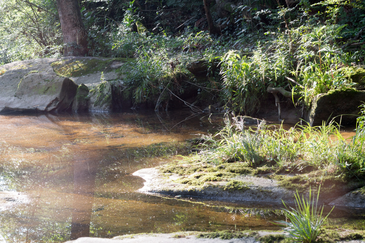
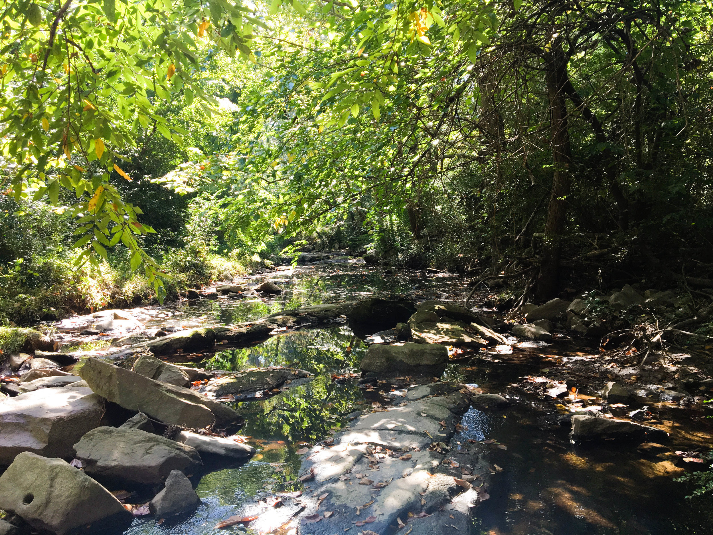
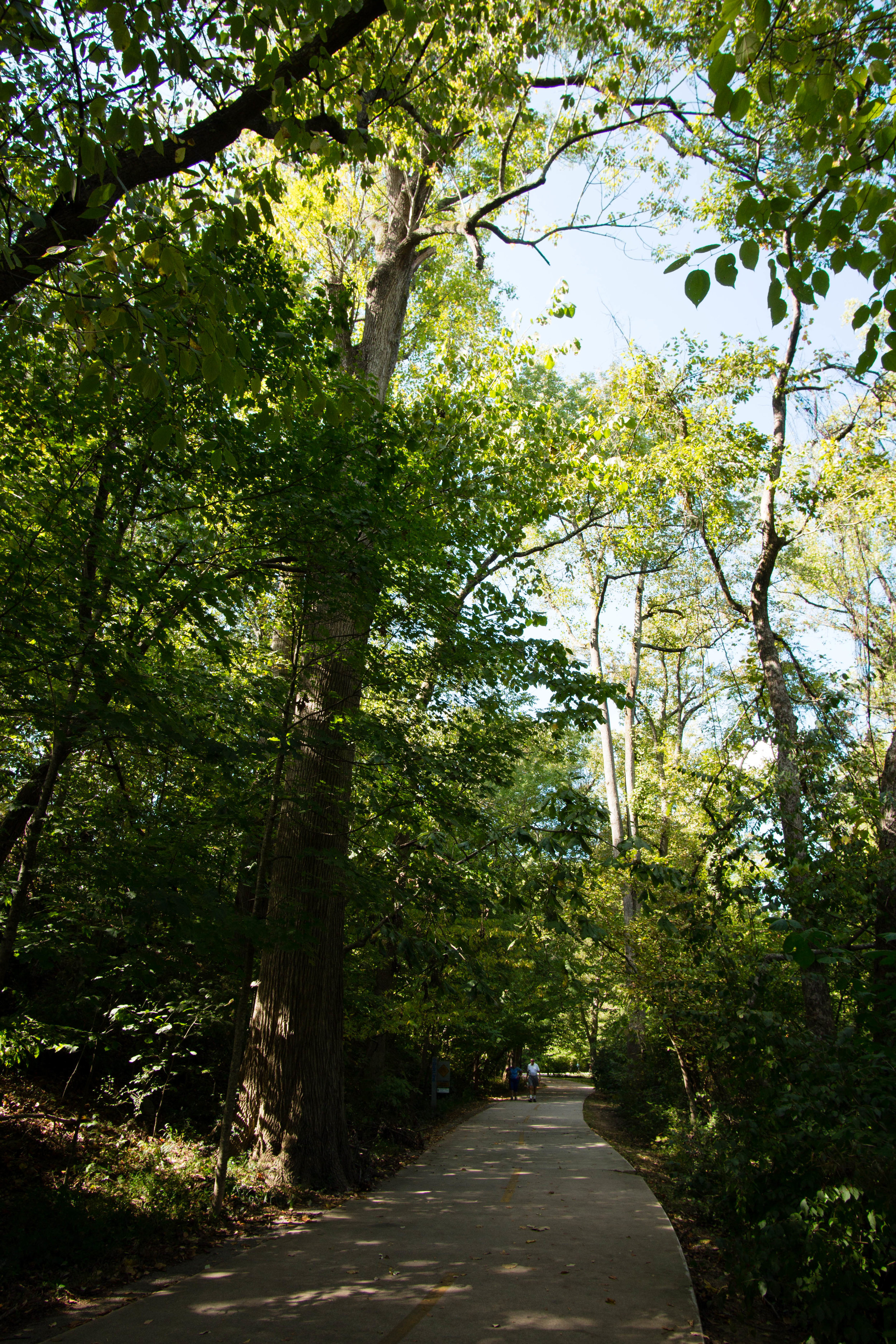
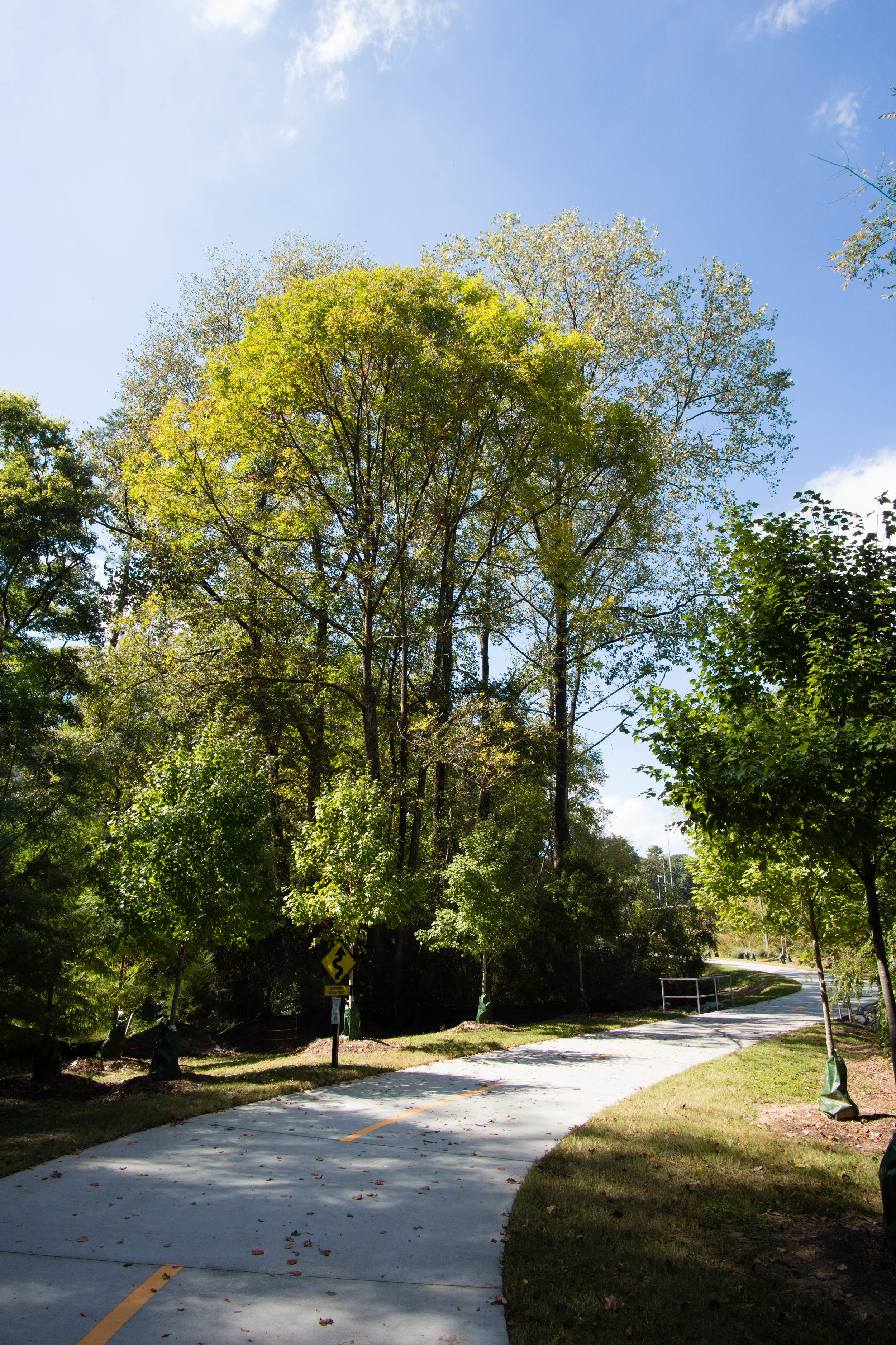
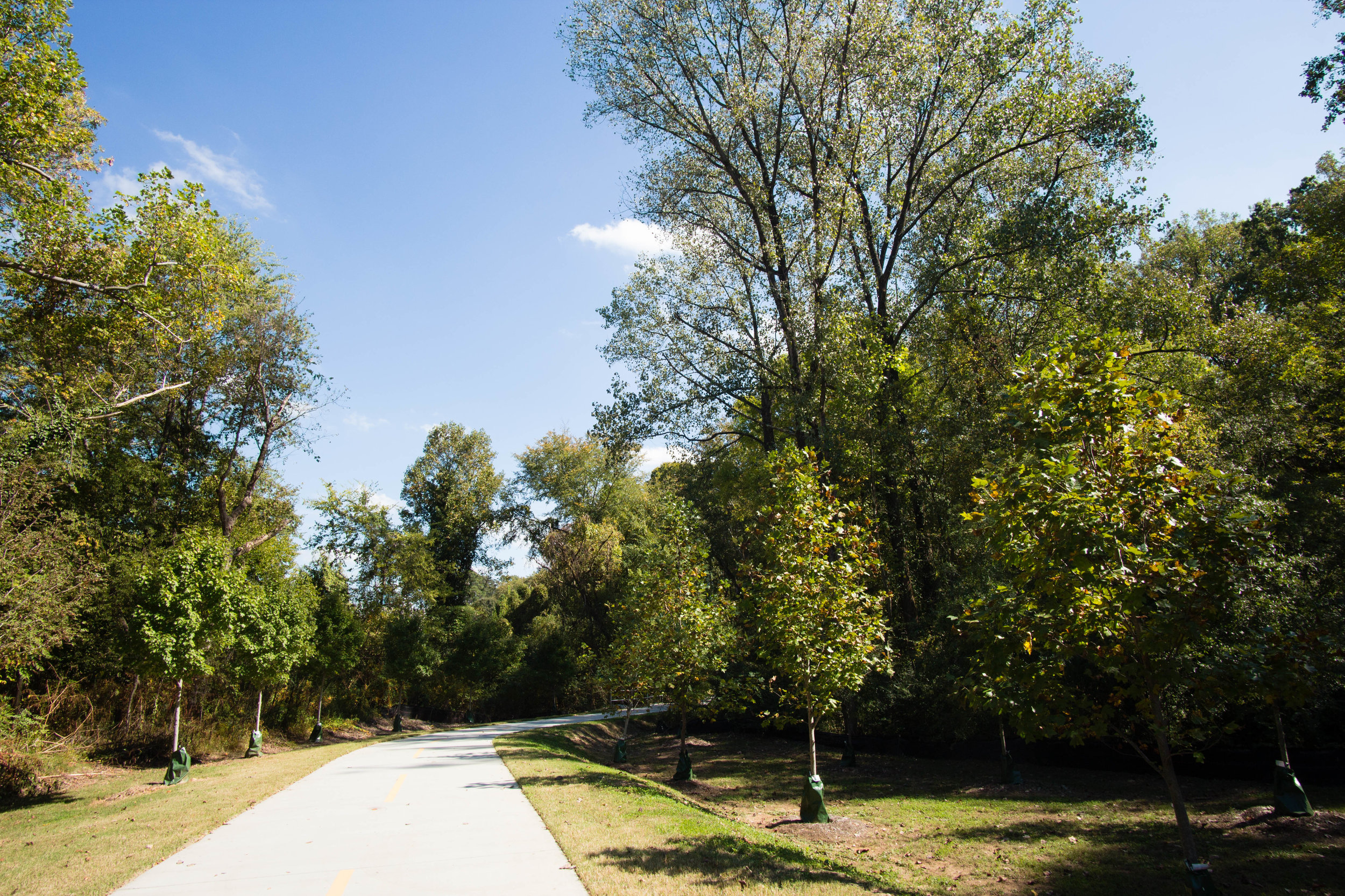
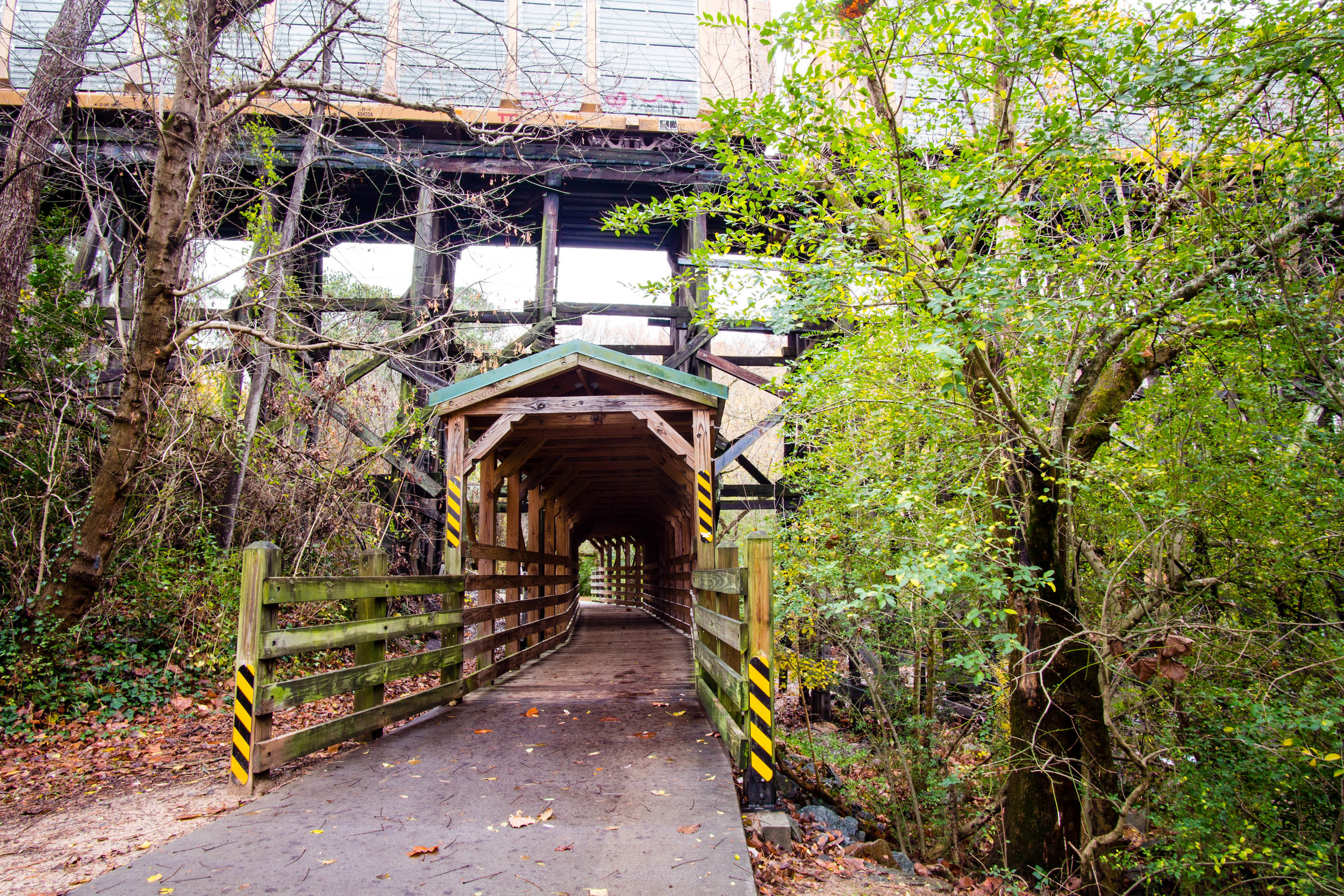
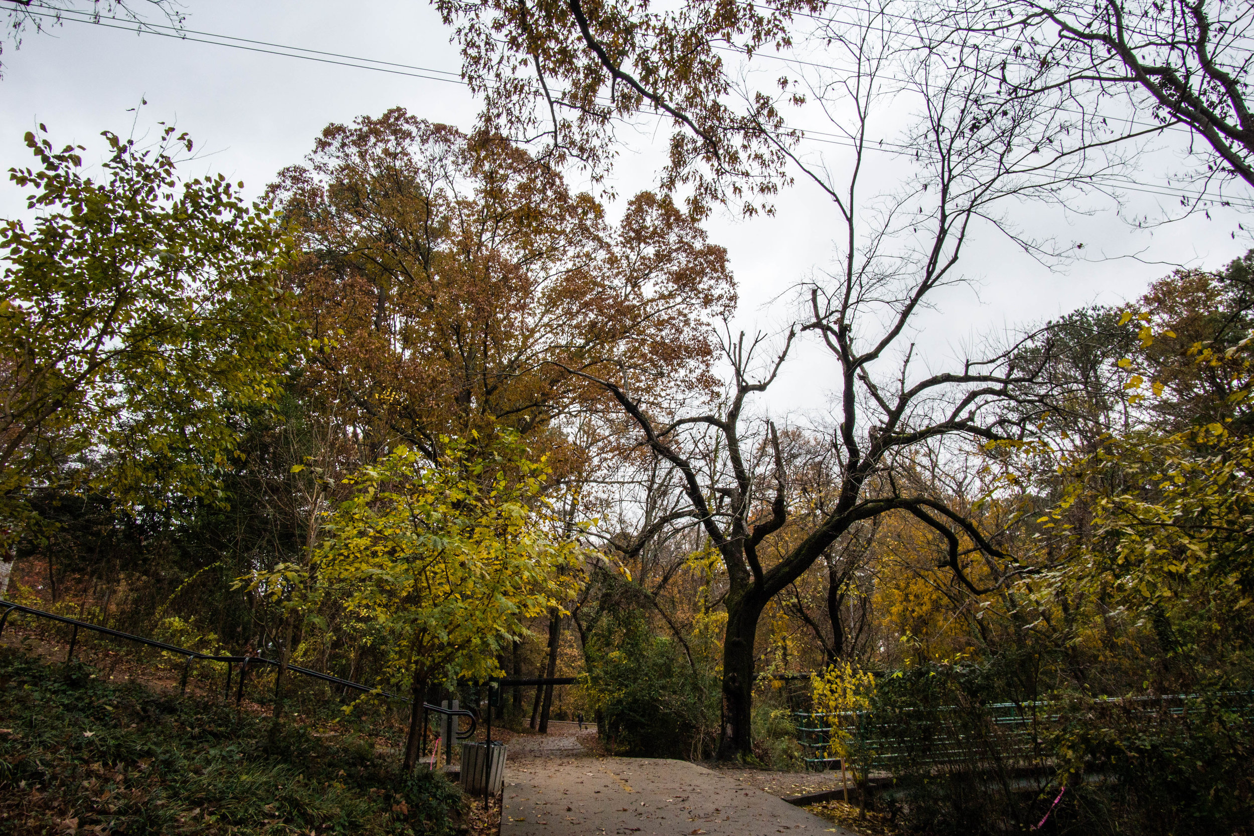
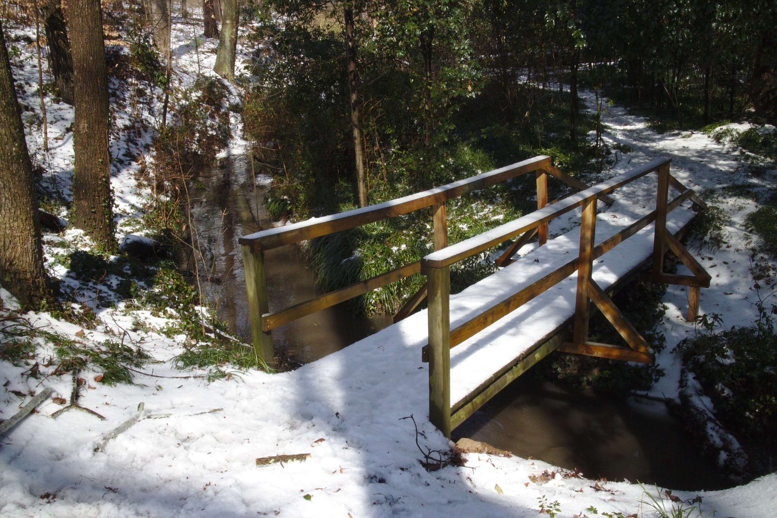
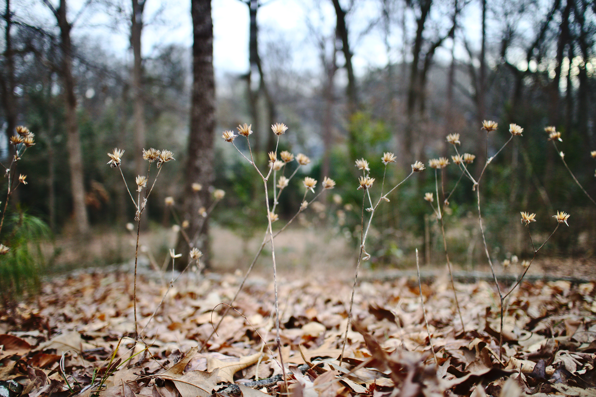
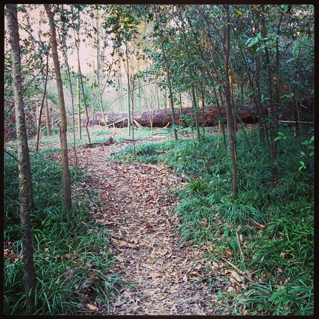
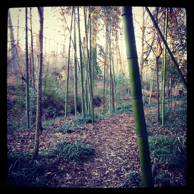
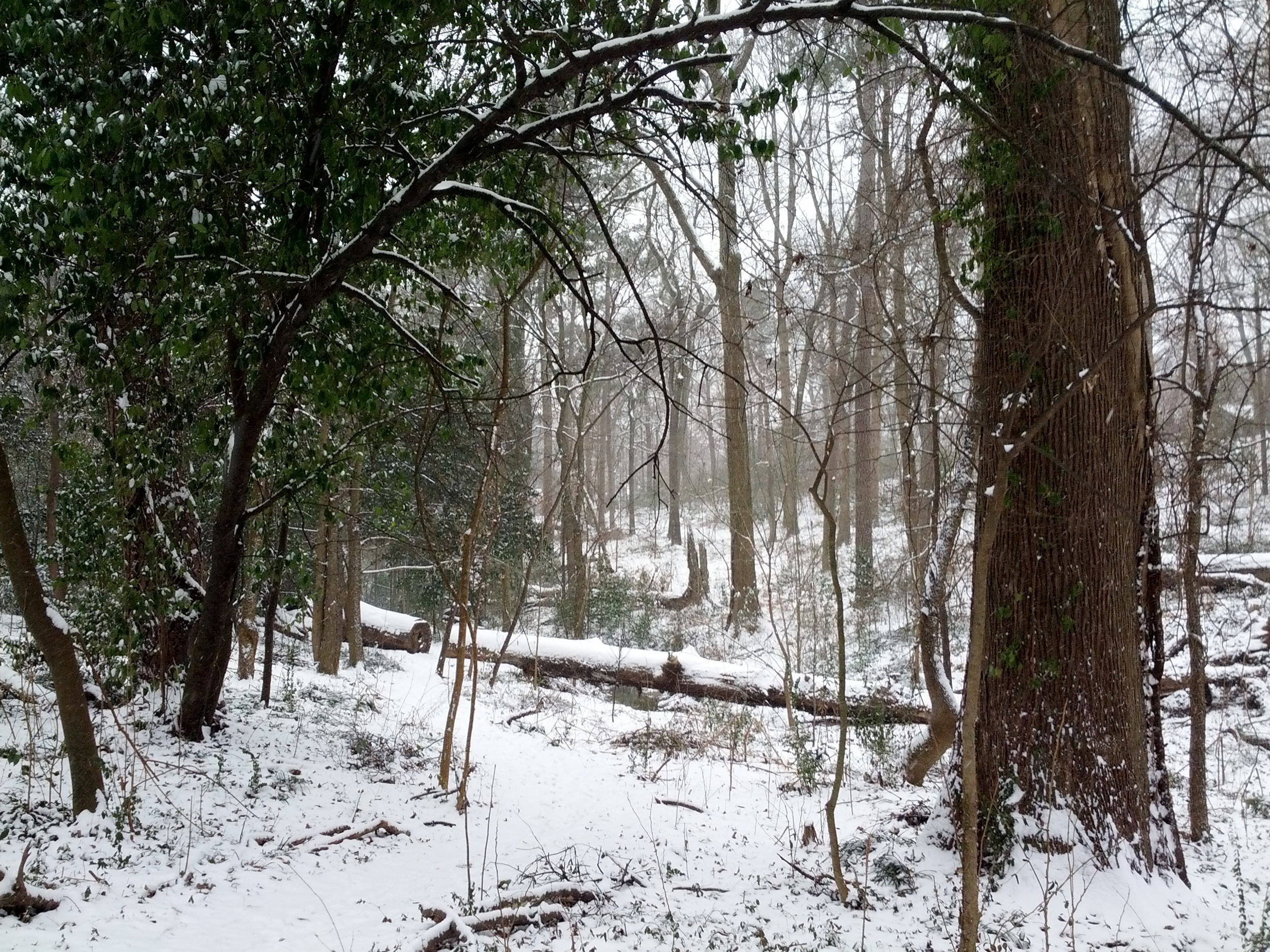
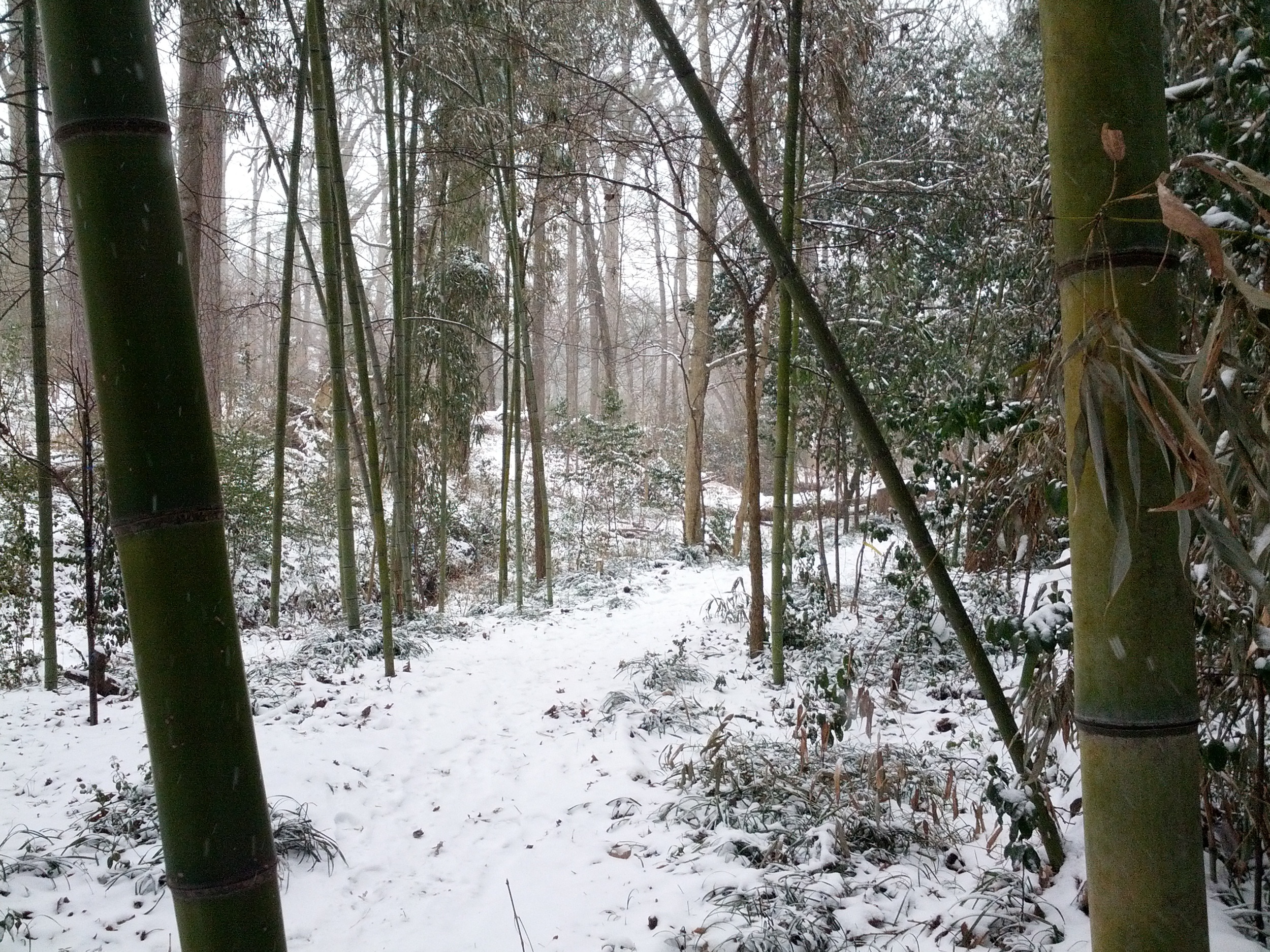
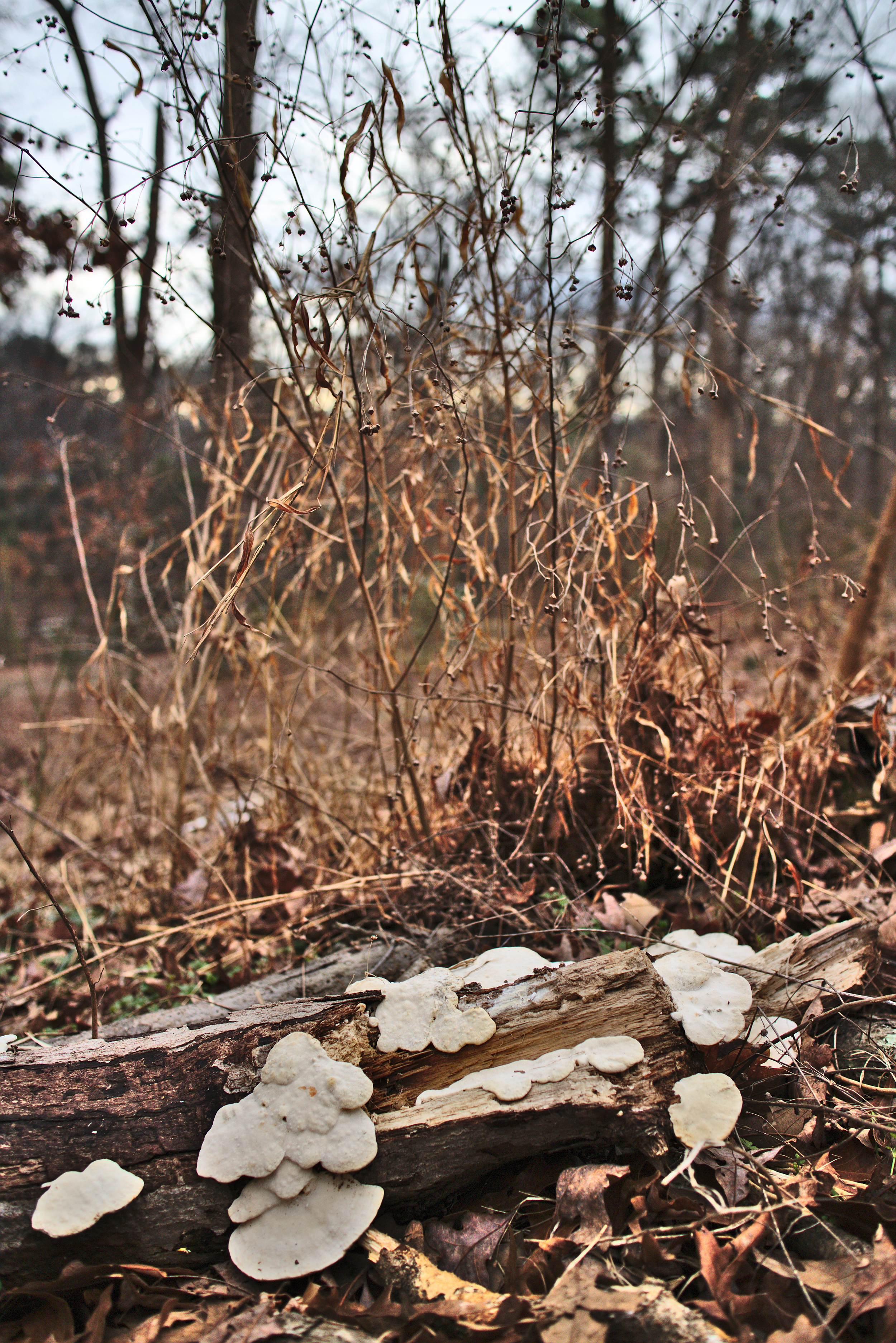
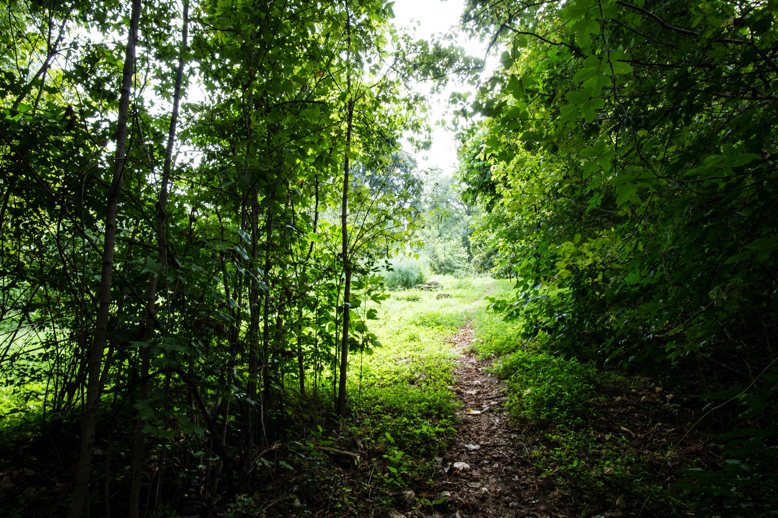
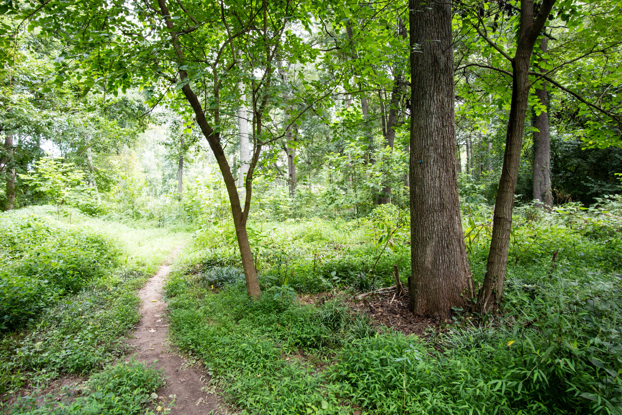
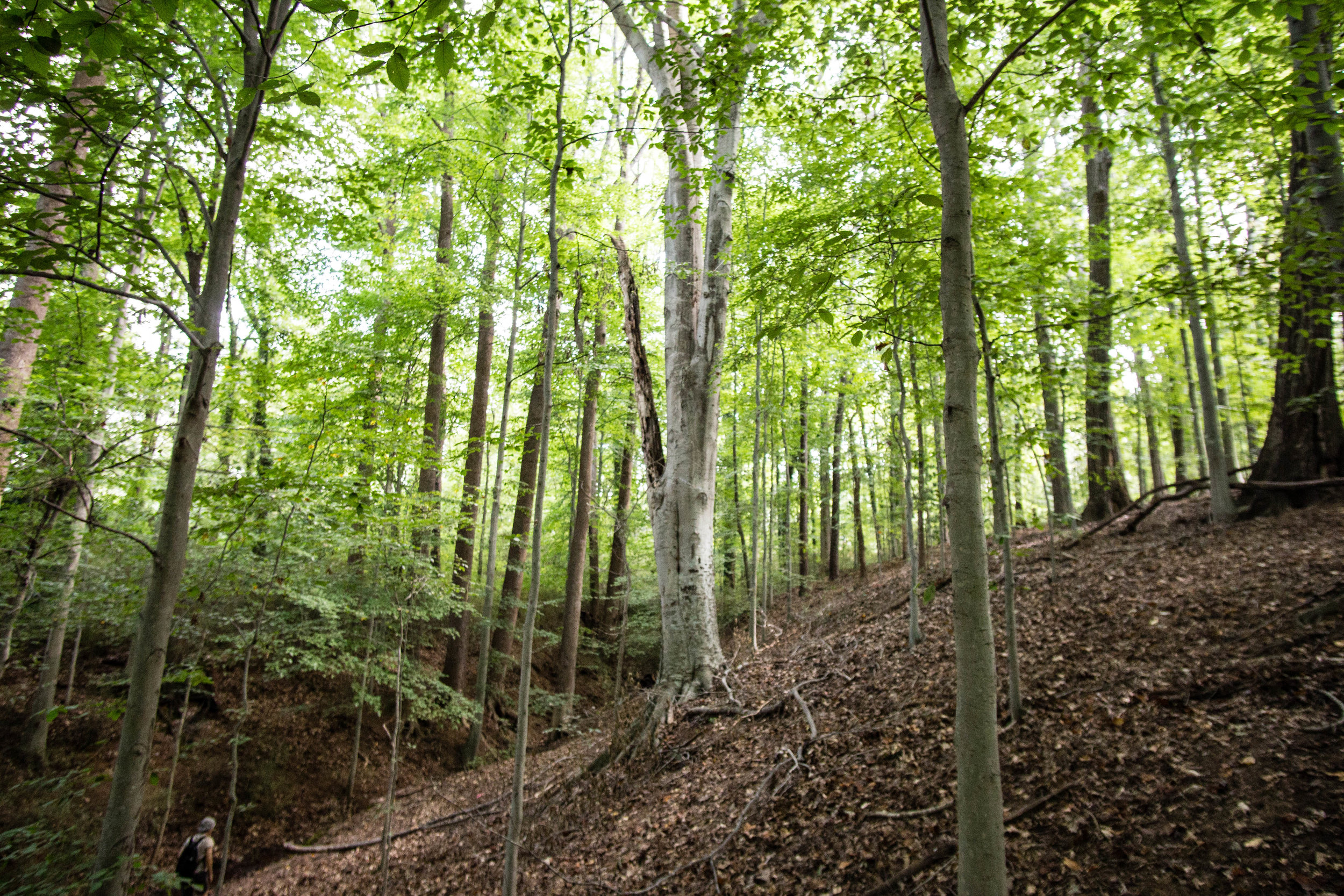
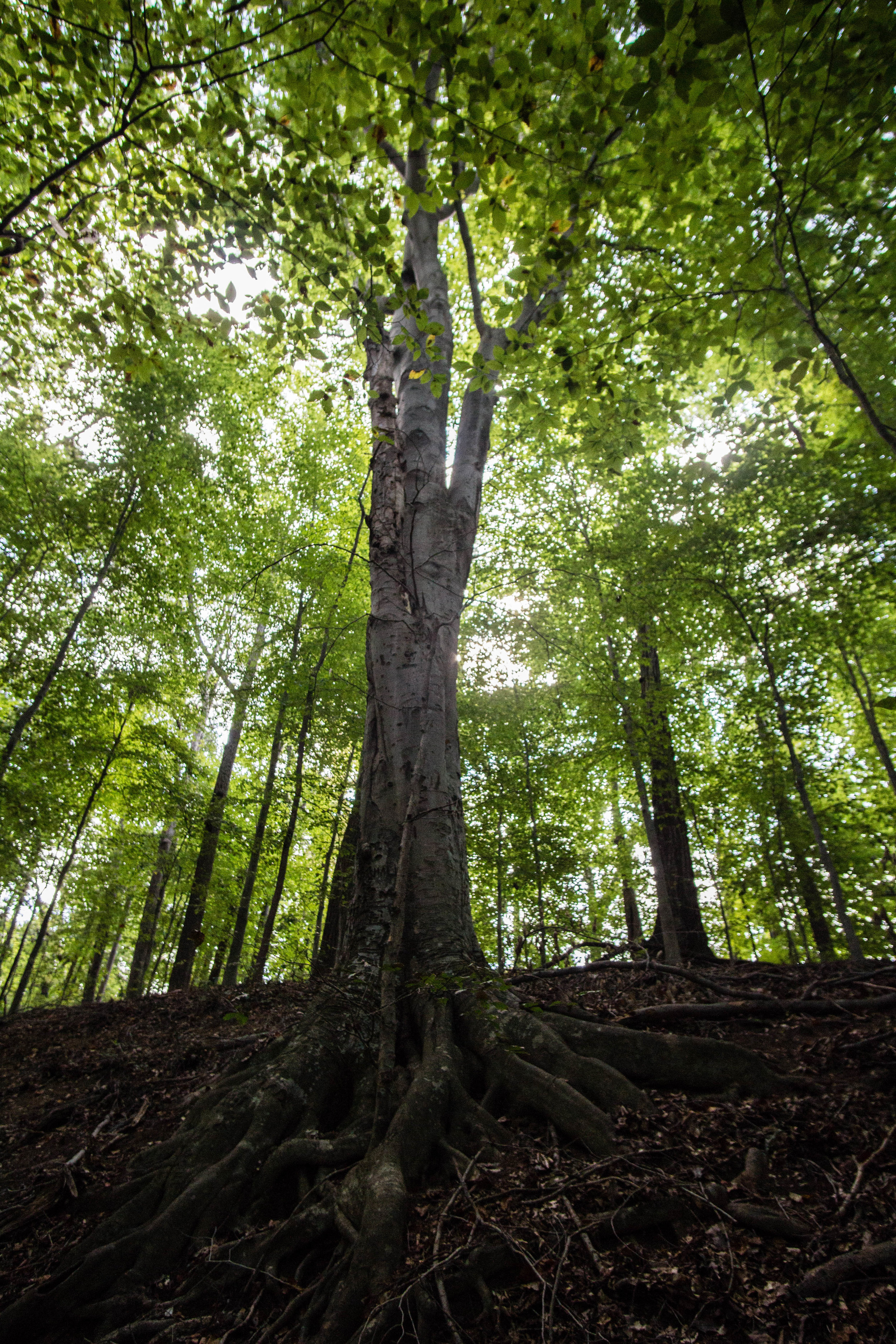
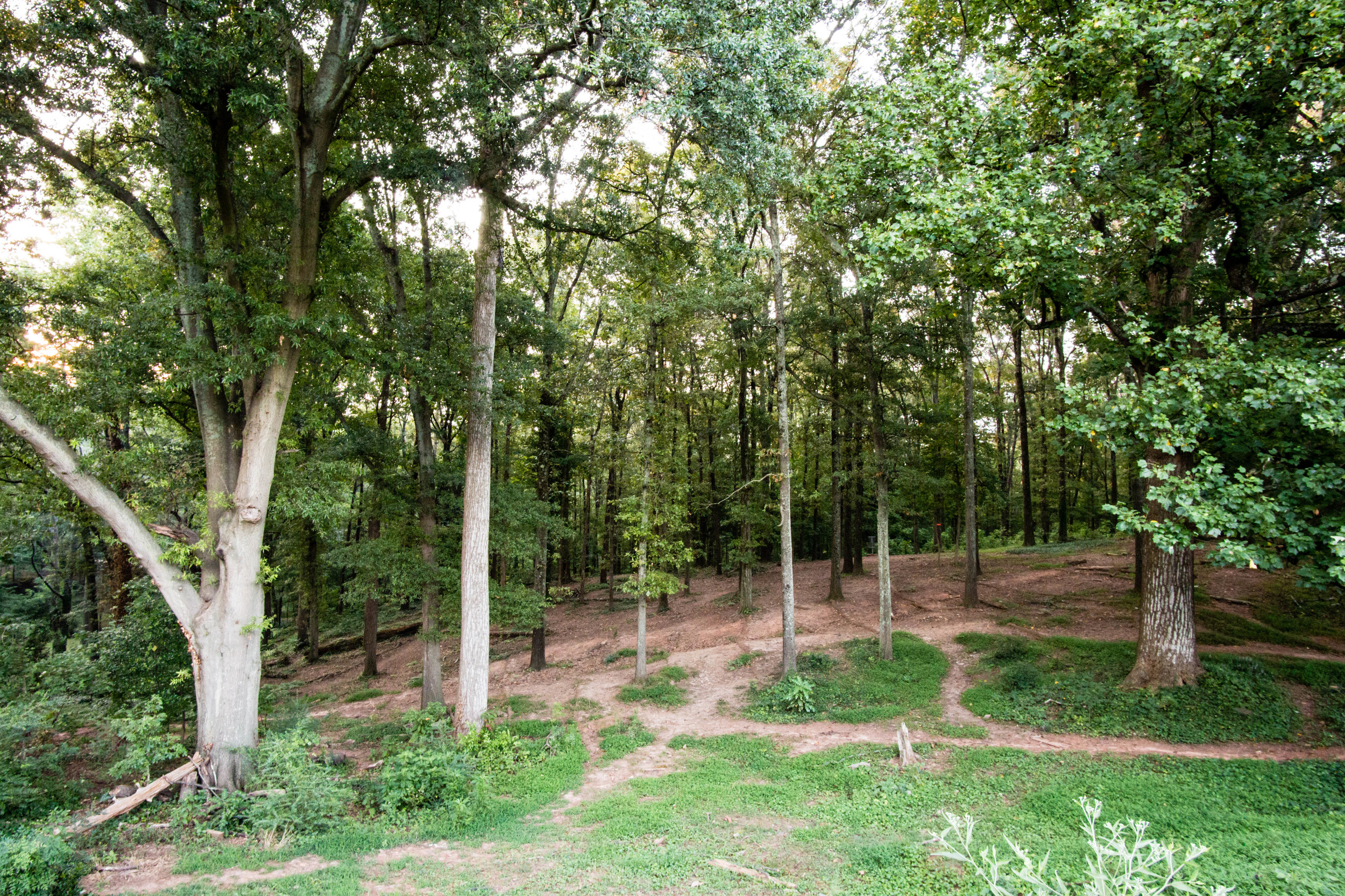
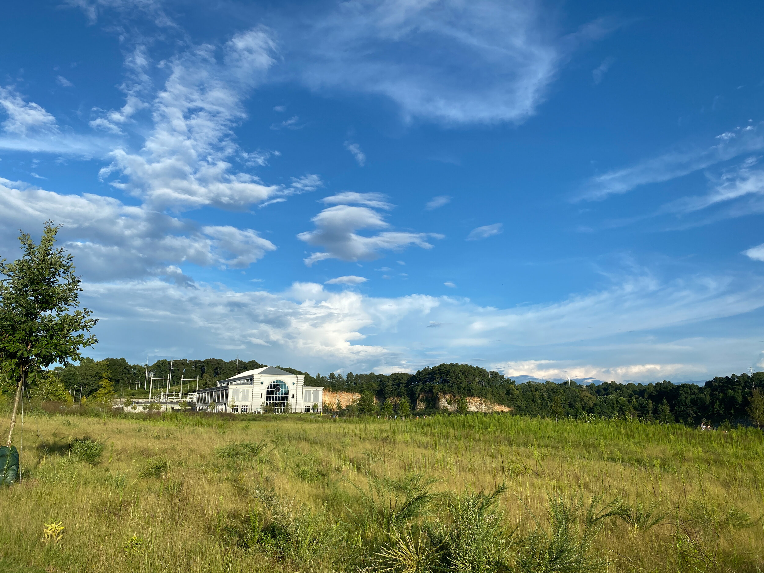
As of August 2021, with only Phase 1 complete, almost all of the trails are paved and wide. The master plan calls for 4.1 miles of natural-surface walking trails and 3.2 miles of natural-surface mountain biking trails in a future phase.
Also known as: Bellwood Quarry Park
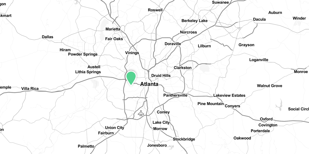
Address: 1660 Johnson Road Northwest, Atlanta, GA
Cost of admission: Free
Governance: City of Atlanta
Acres: 280
Approximate miles of trails: 2.5
Hours: 6am to 11pm
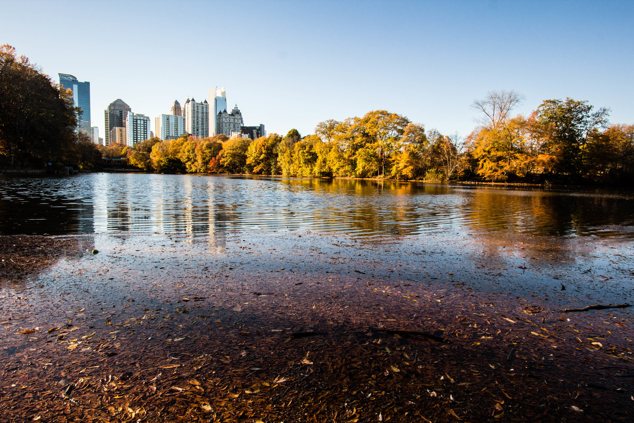
Miles from downtown Atlanta: 3.4
Transit directions: Take MARTA to Bankhead Station and use the Proctor Creek Greenway to connect to the park. Or take MARTA bus #26 from Bankhead Station to Perry Blvd NW & Johnson Rd NW. Walk about 0.2 miles southwest on Johnson Road to the park entrance.
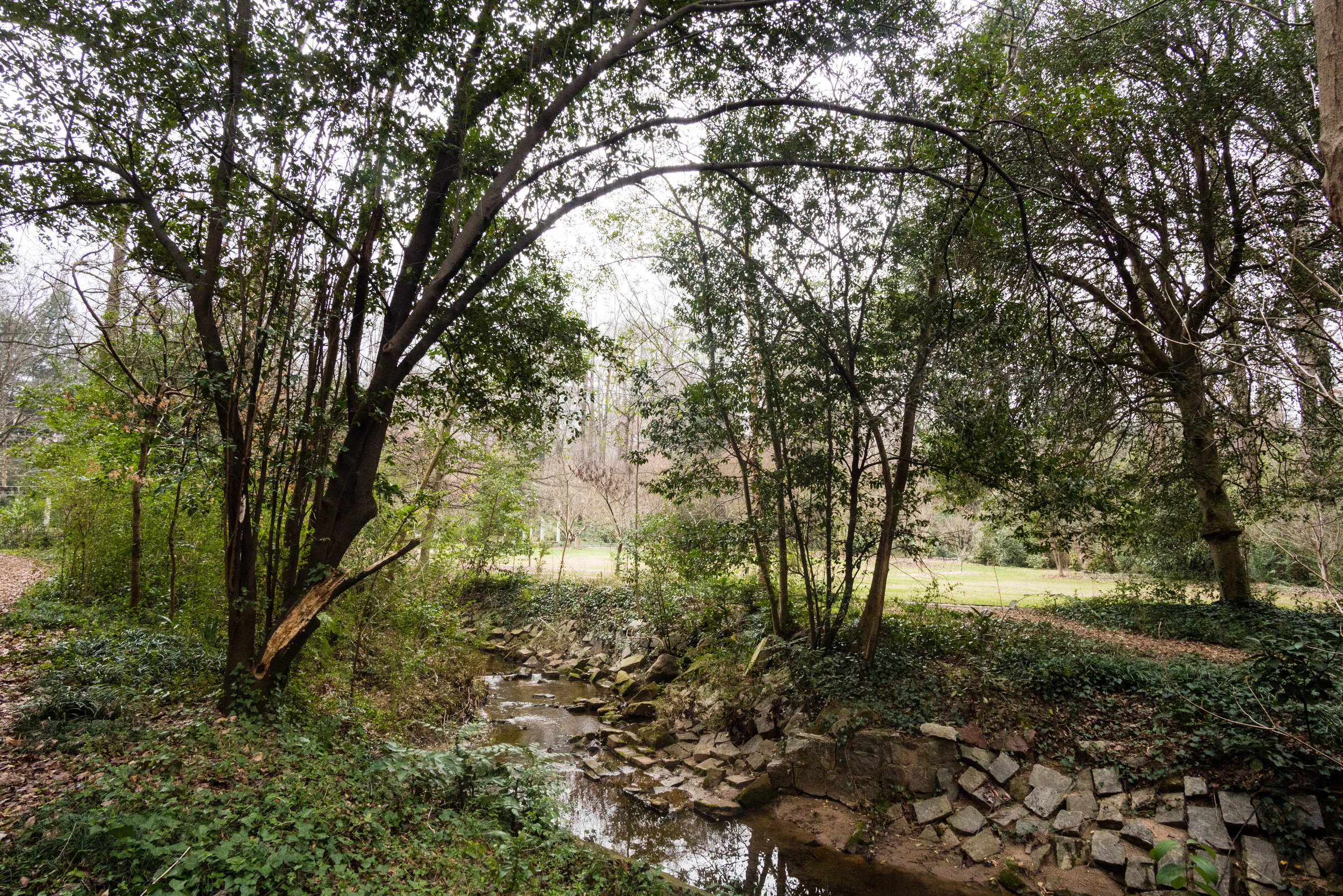
Cycling directions: The park trails connect to the Proctor Creek Greenway
Parking: There are two large parking lots available, off of Johnson Road
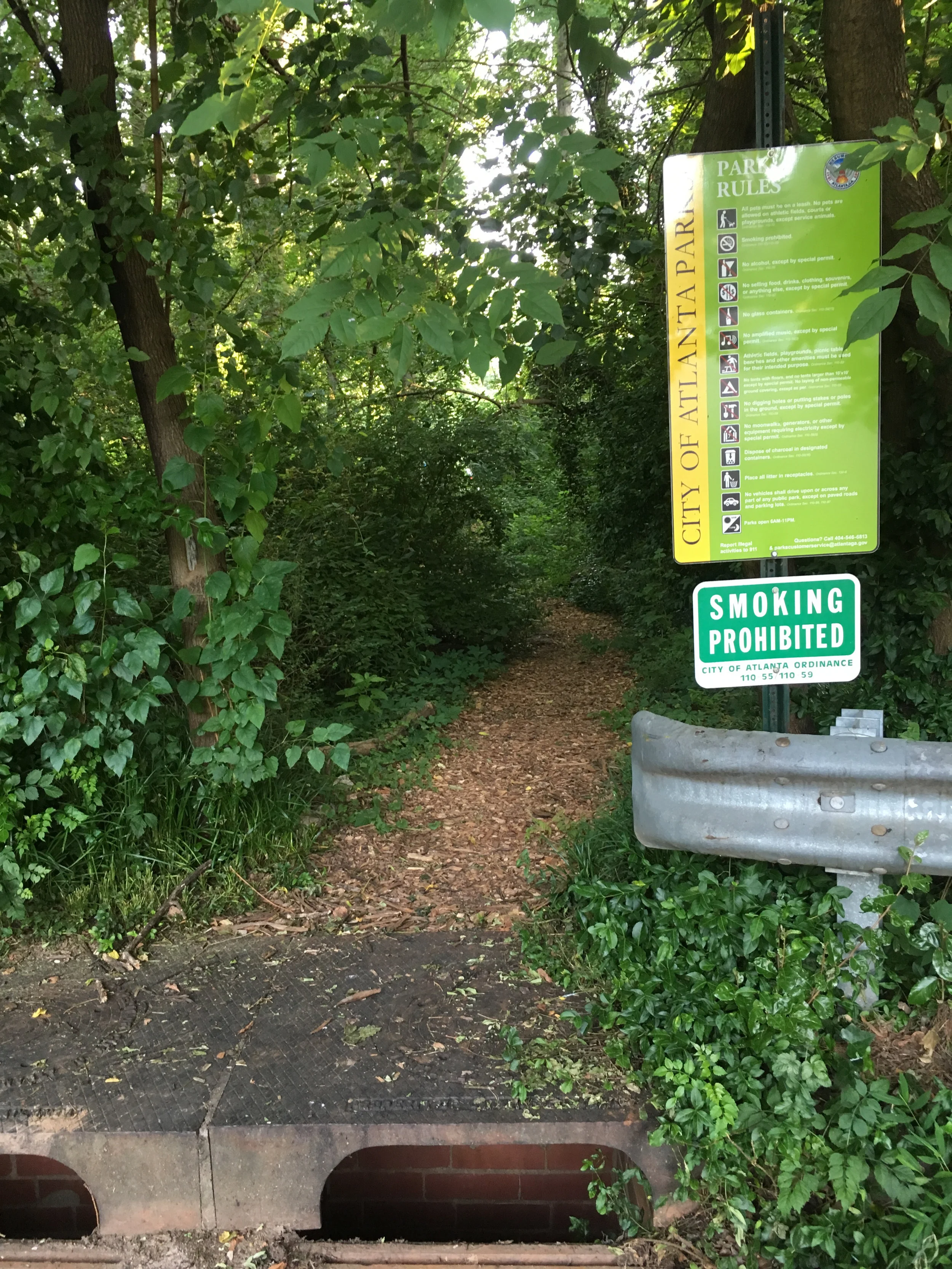
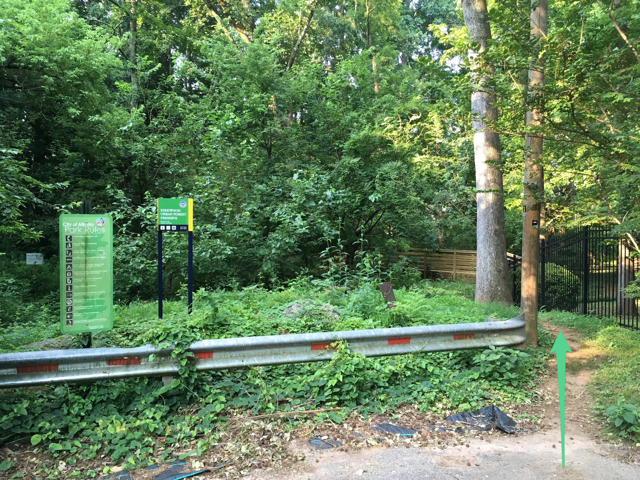
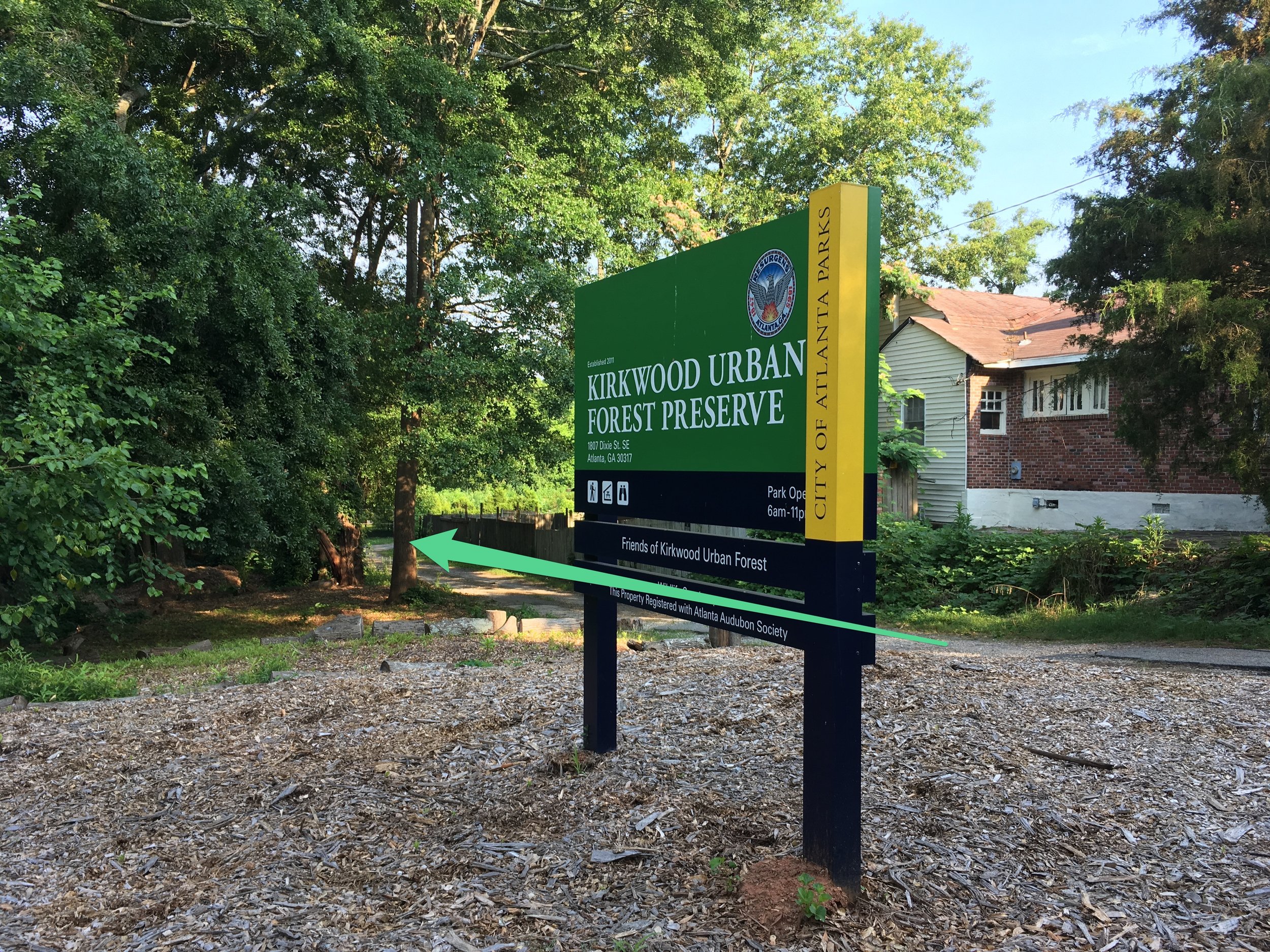
Trailhead(s): The two main entrances on Johnson Road are clearly marked and visible from the road. Trailheads are clearly marked from these parking lots. There’s also neighborhood connectivity via Grove Park Place.
Trail surface: Many of the trails are paved and ADA accessible
Blazes/markings: Trails are paved and most intersections have maps
Restrooms: Yes
Dogs allowed: Yes, on leash
Amenities:
Restrooms
Pavilions
Water fountains
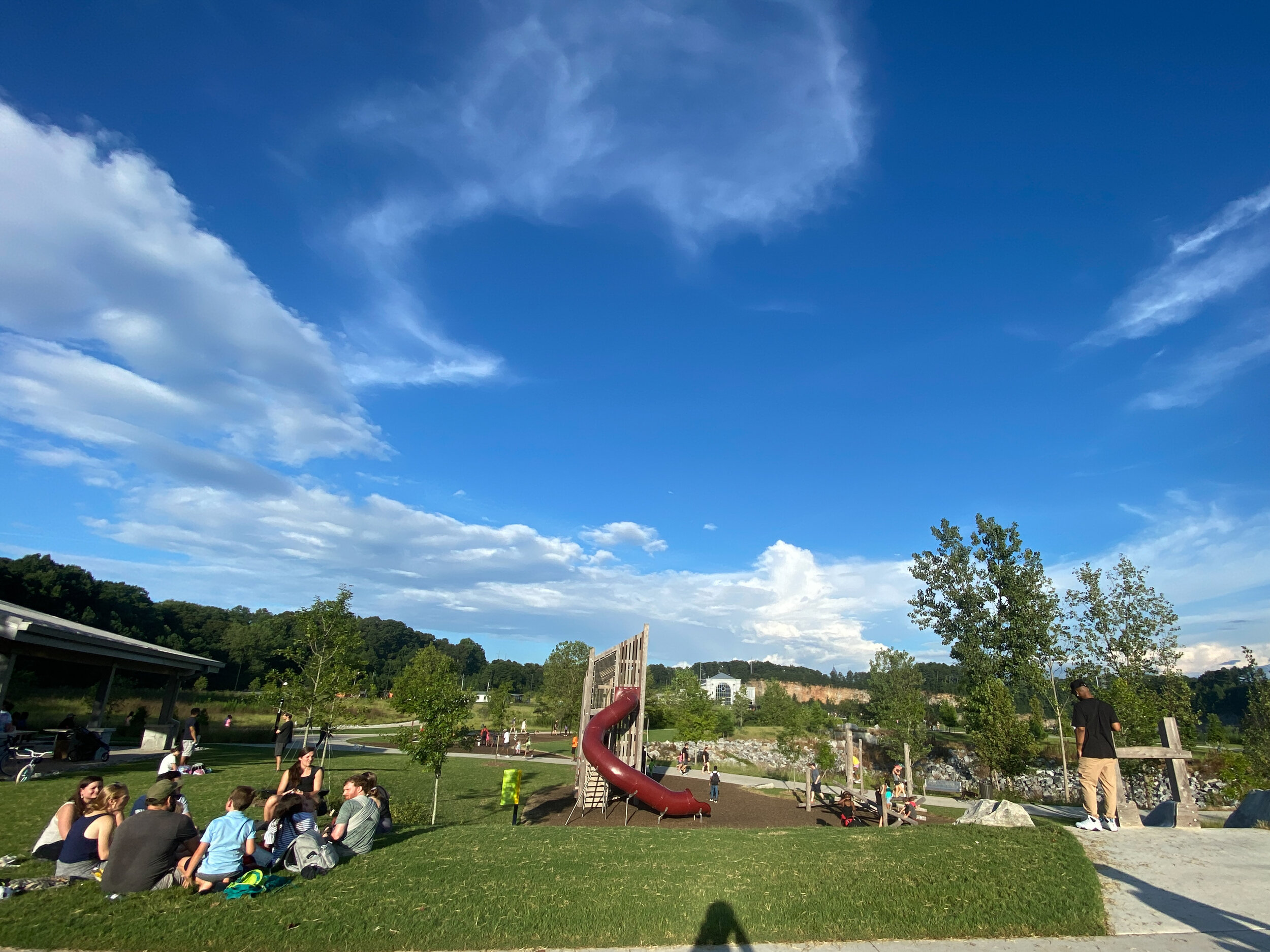
Playground
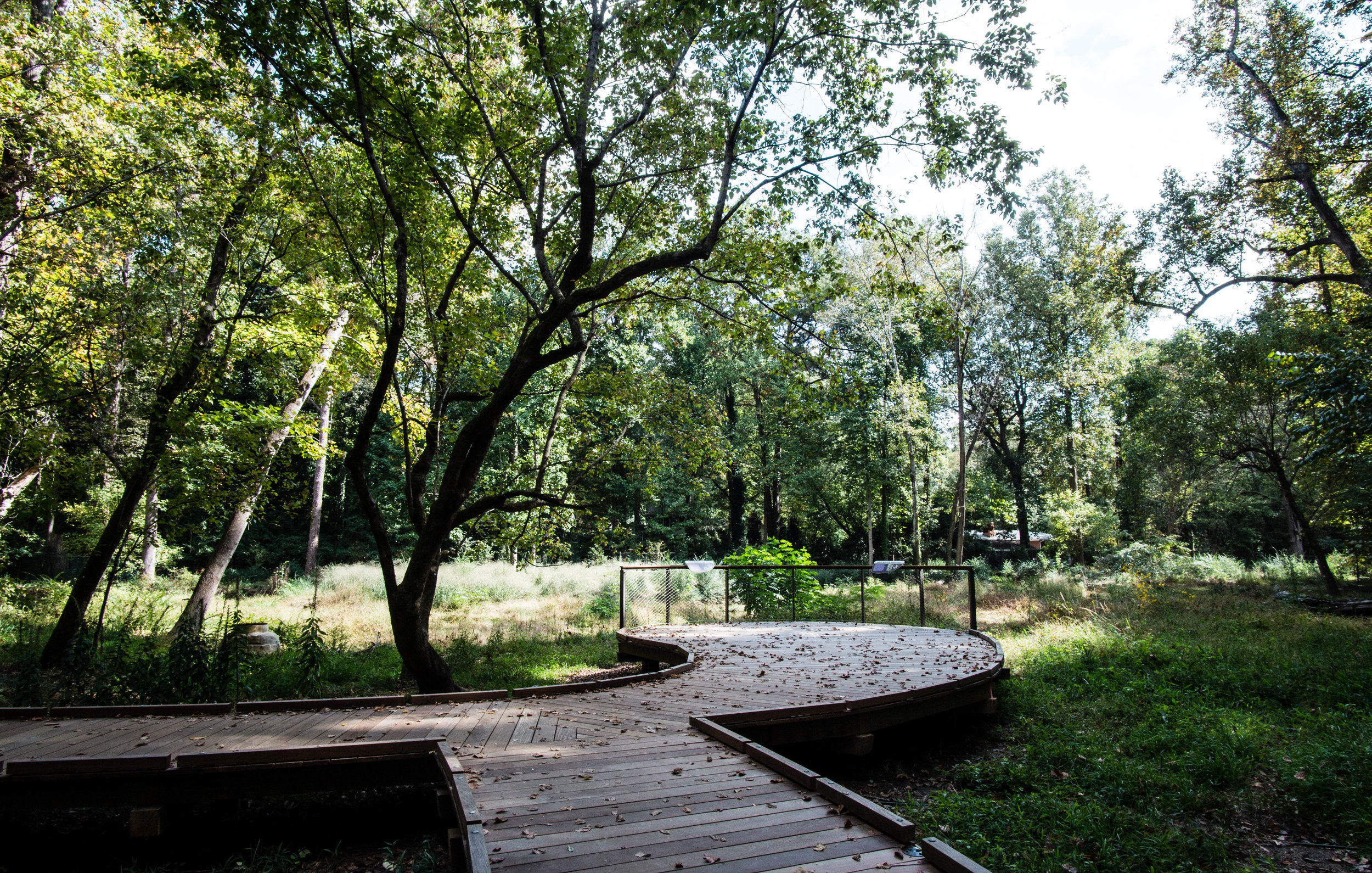
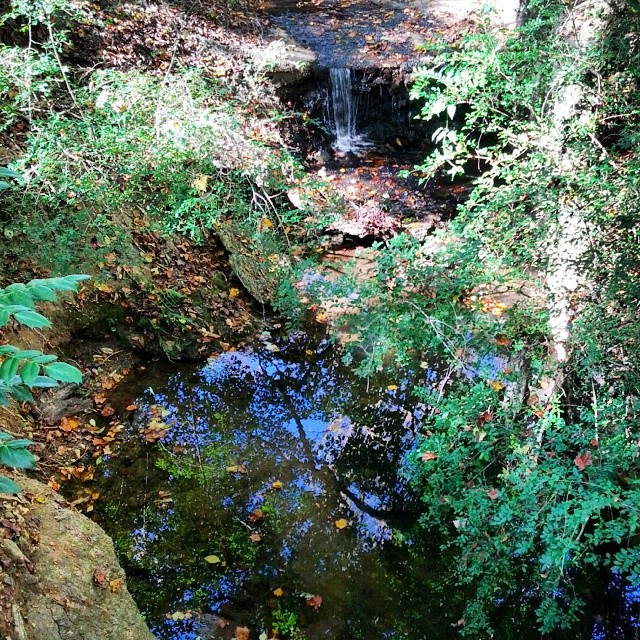
Scenic overlooks
Nearby amenities/conveniences:
MARTA rail station
Links:

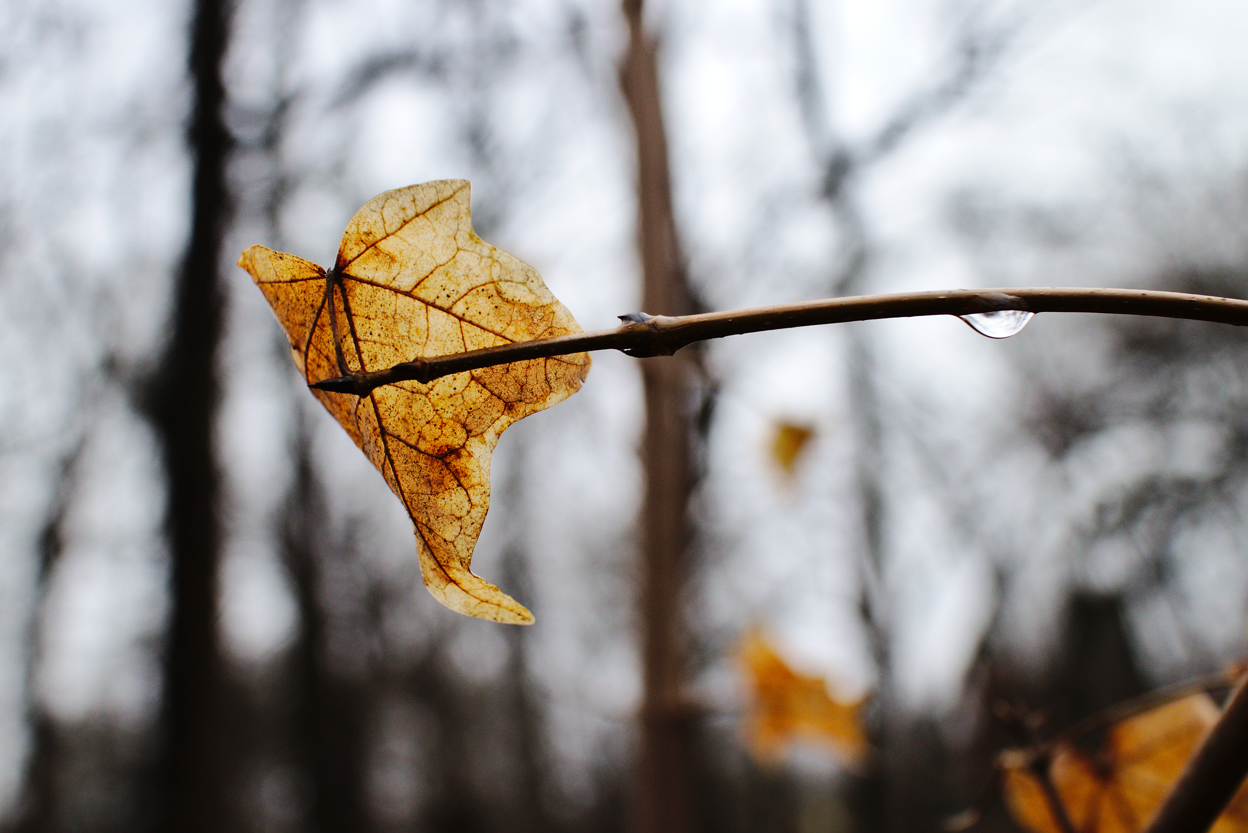
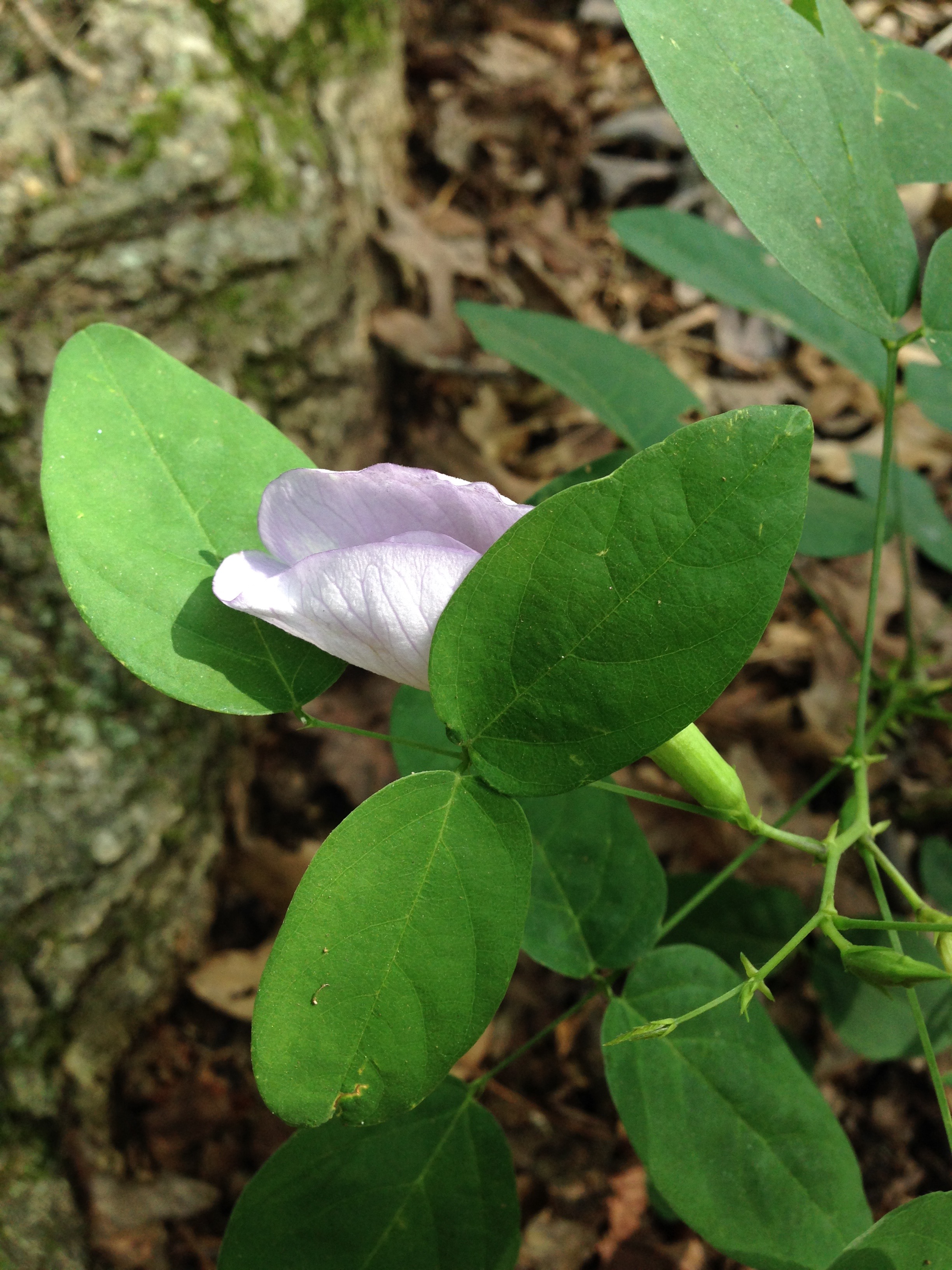
More photos on Flickr:

From around the web:
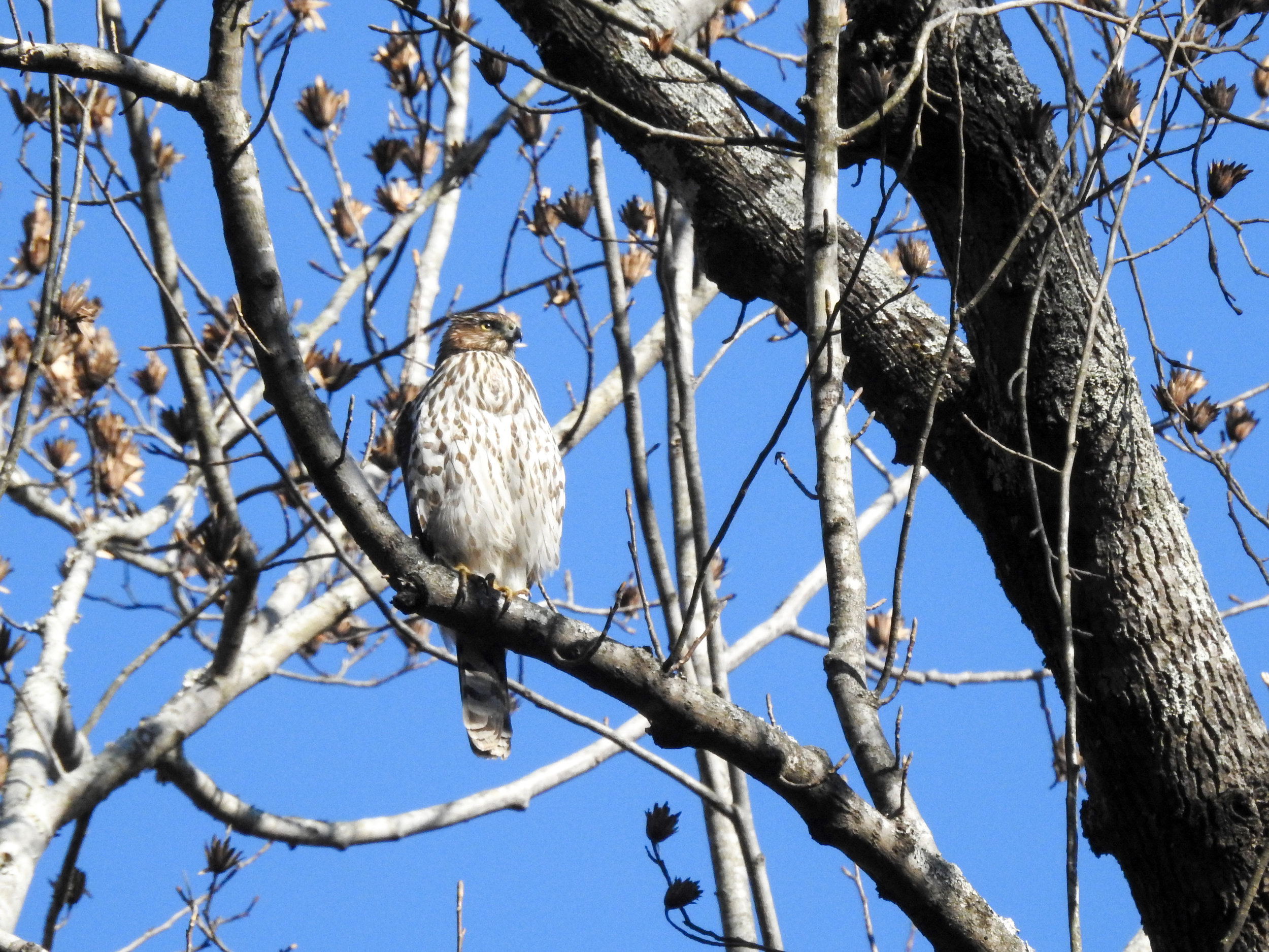
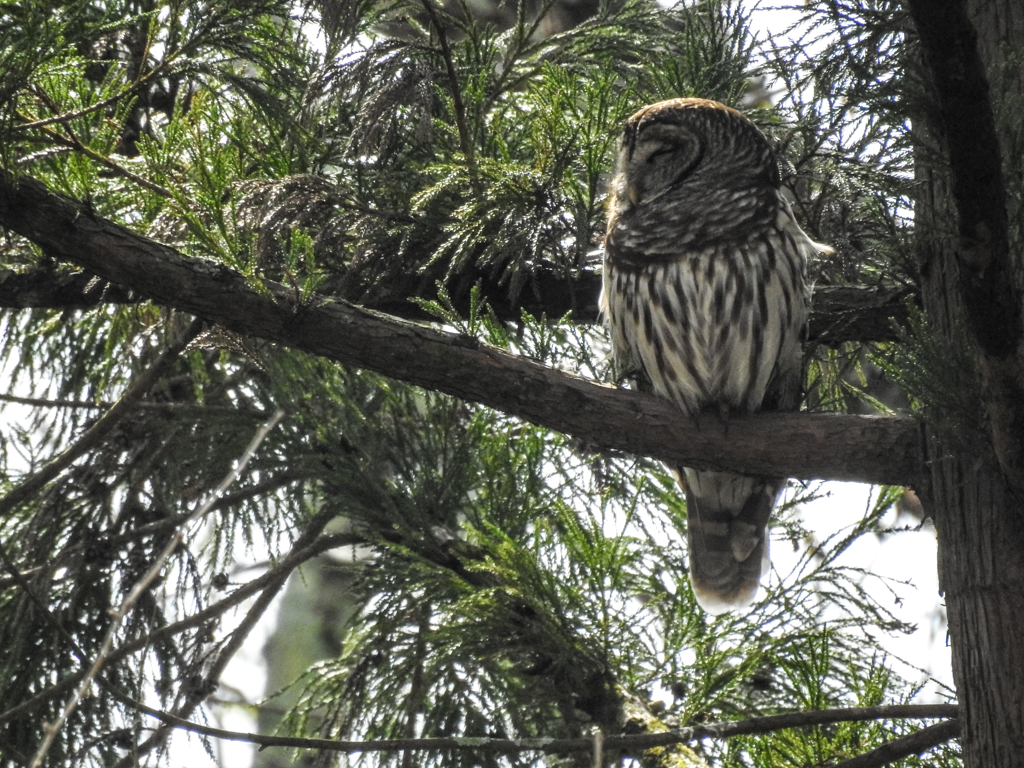
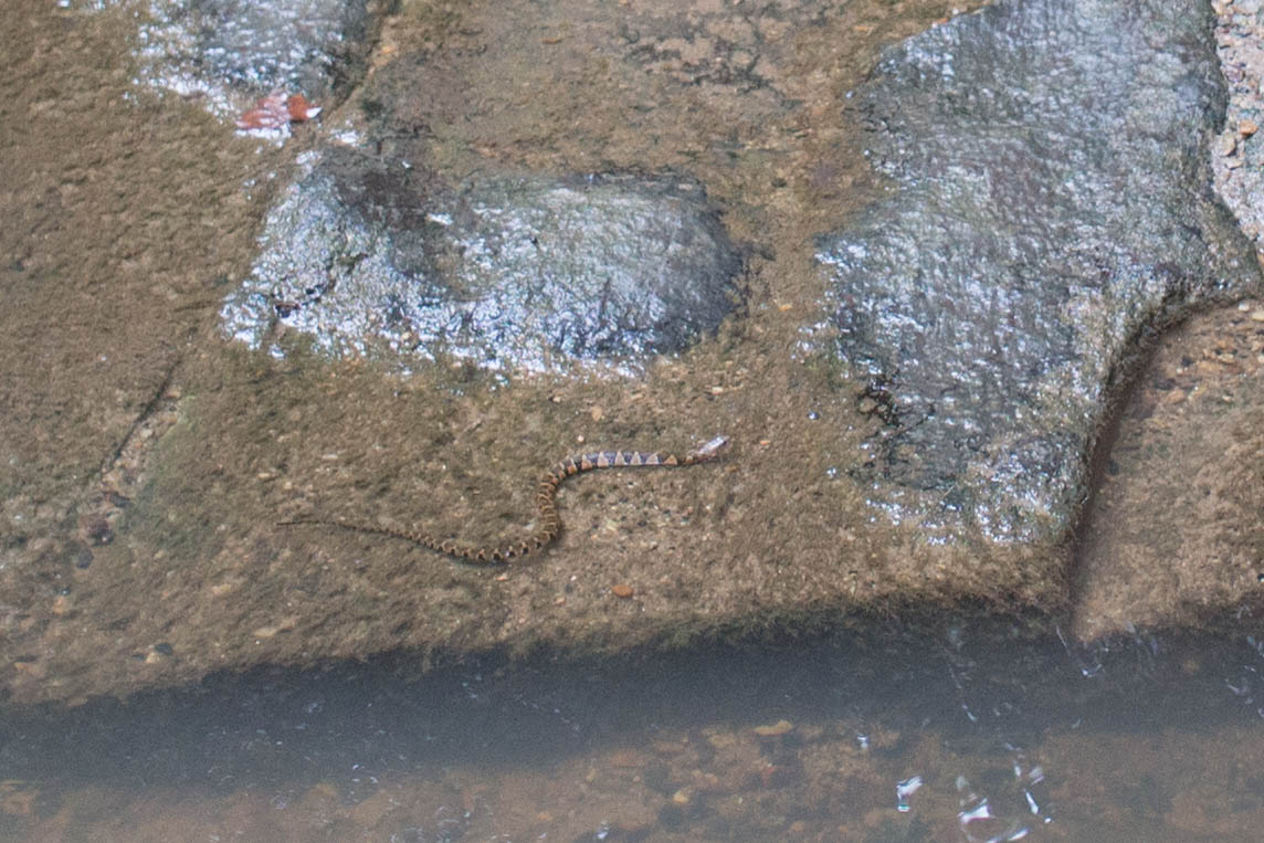
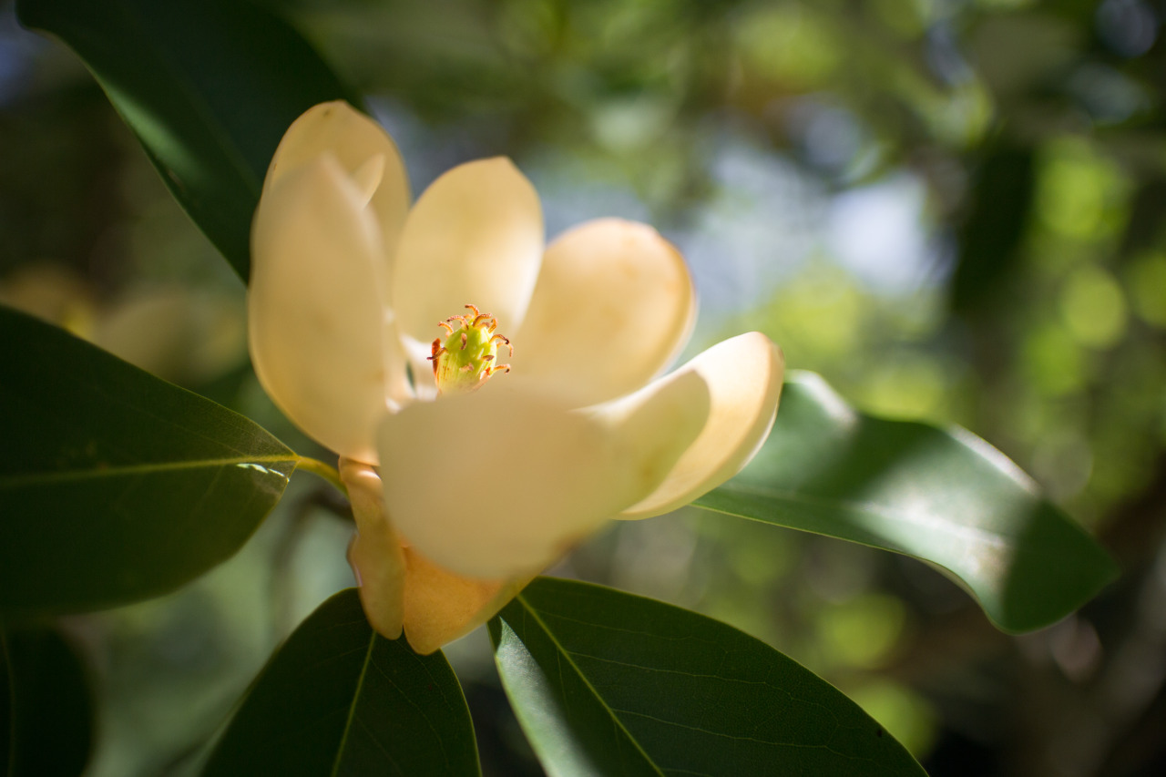
Recent iNaturalist observations
Good to combine with: