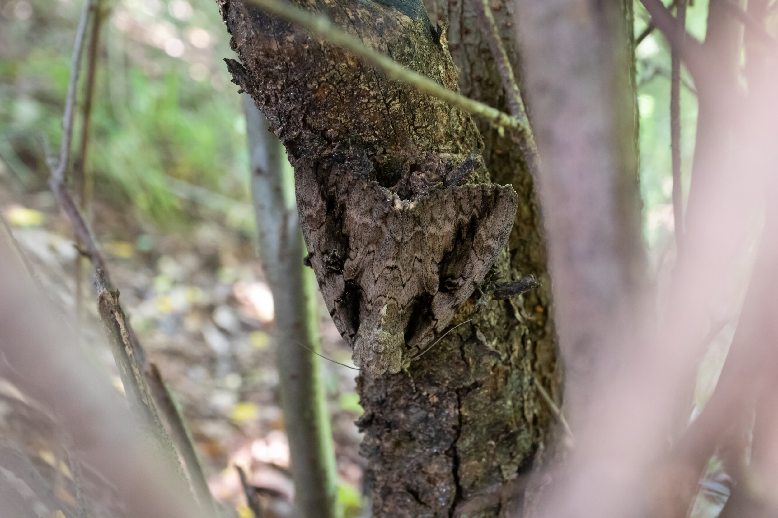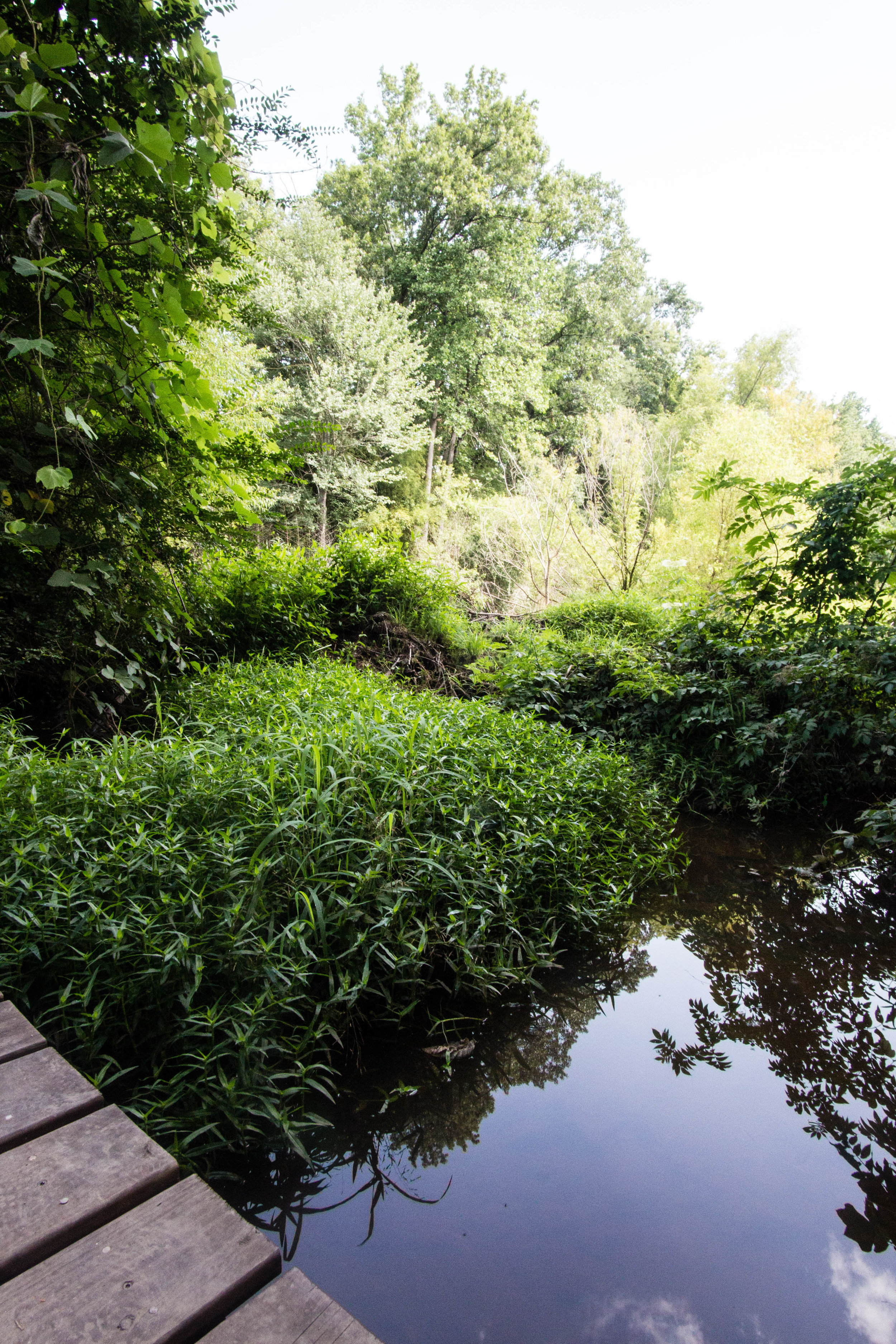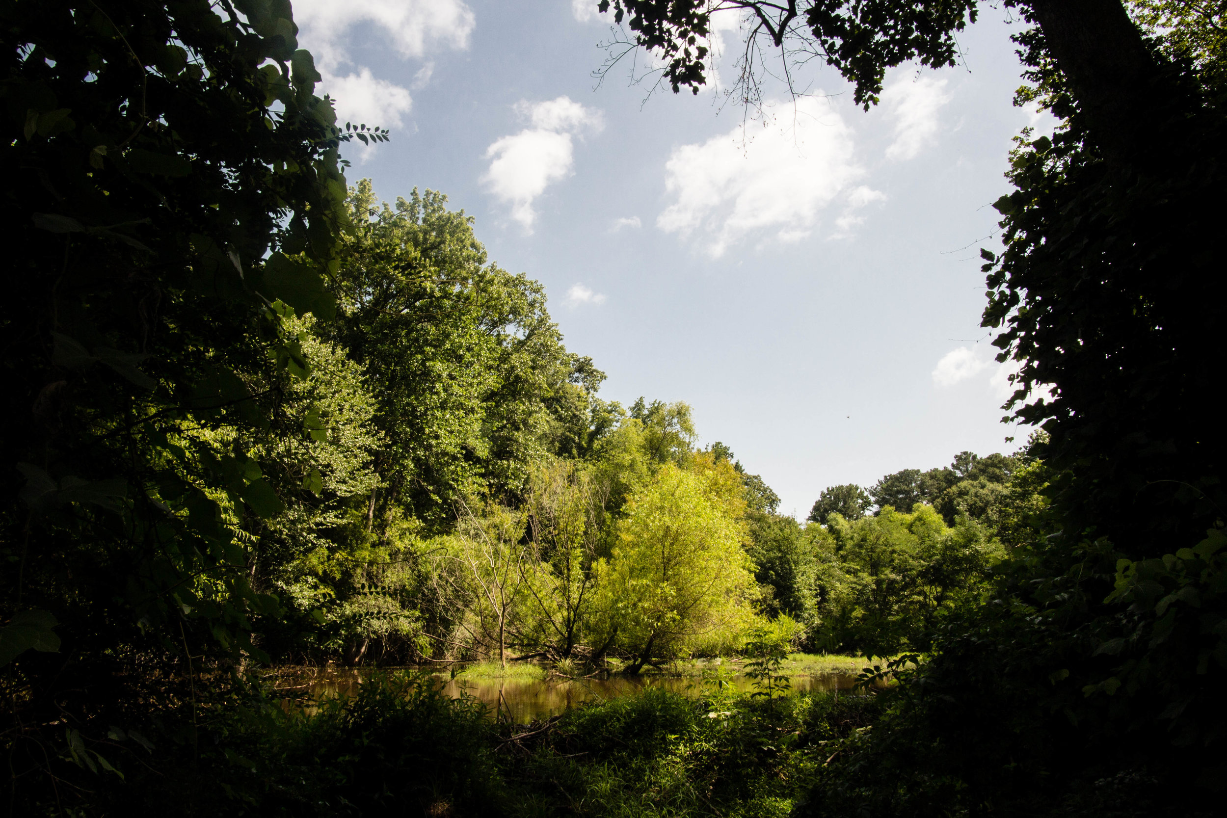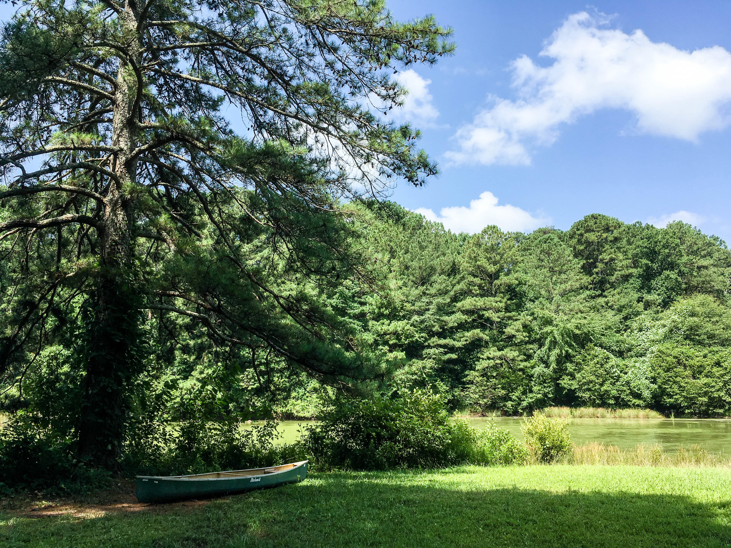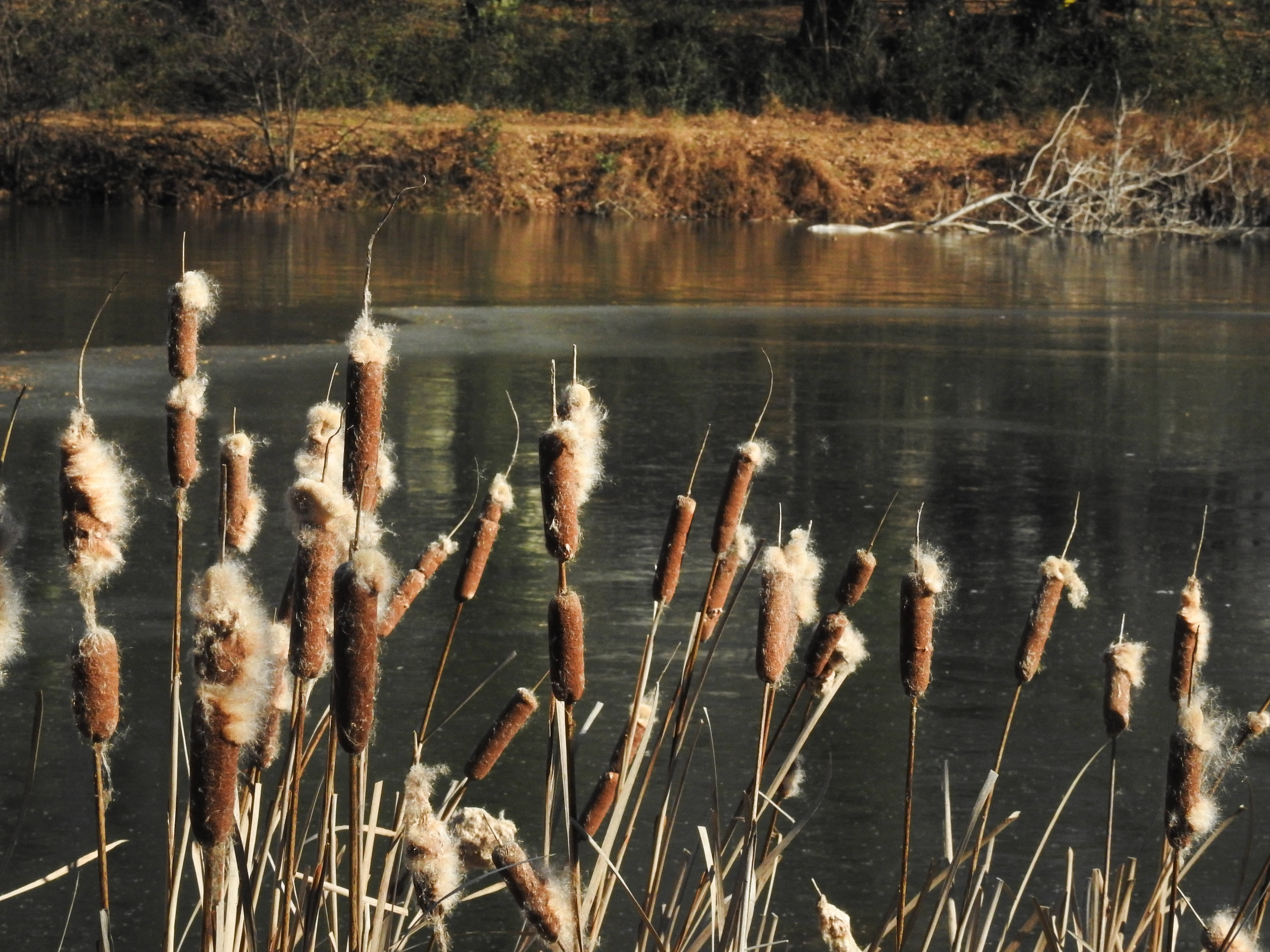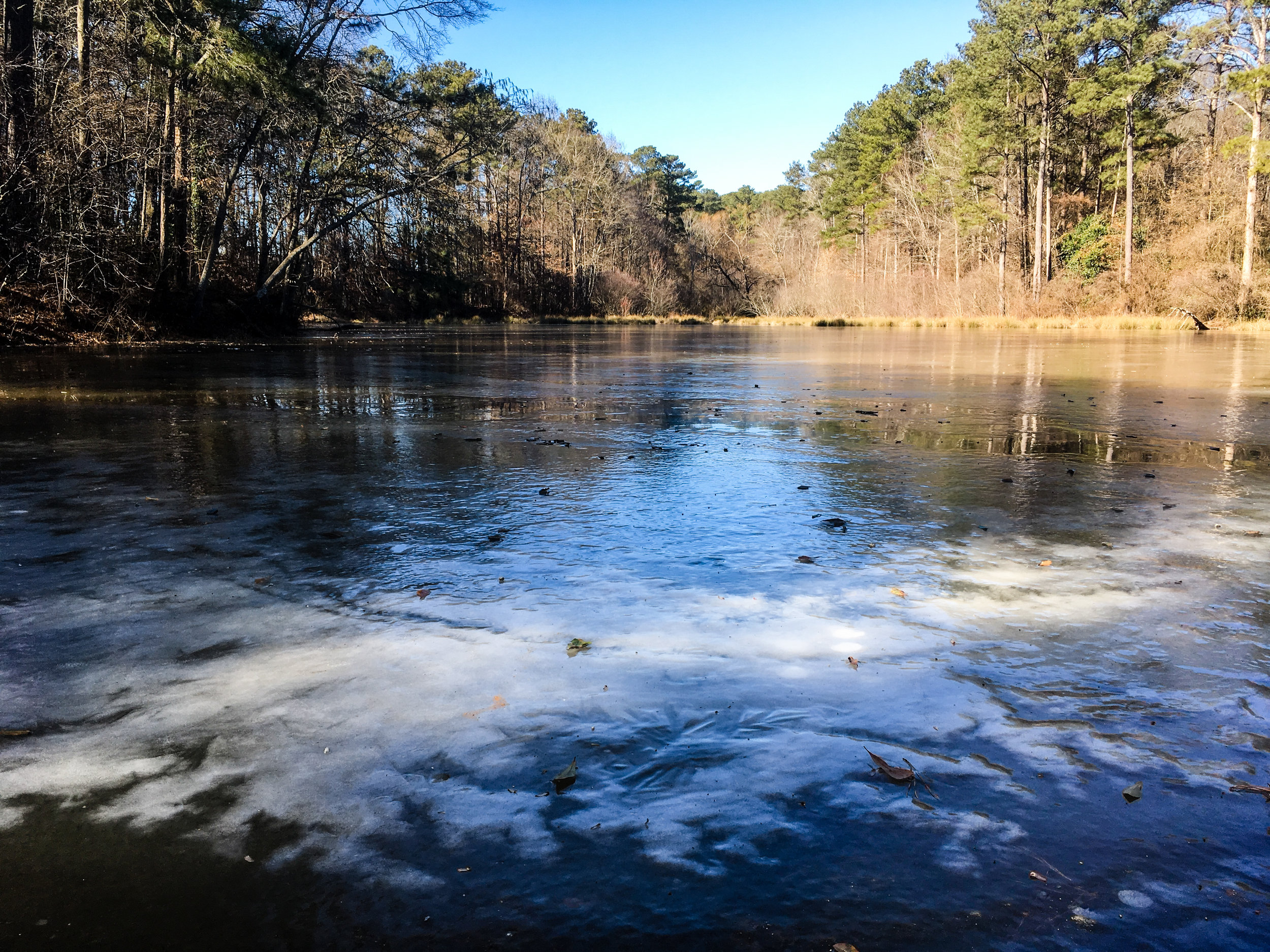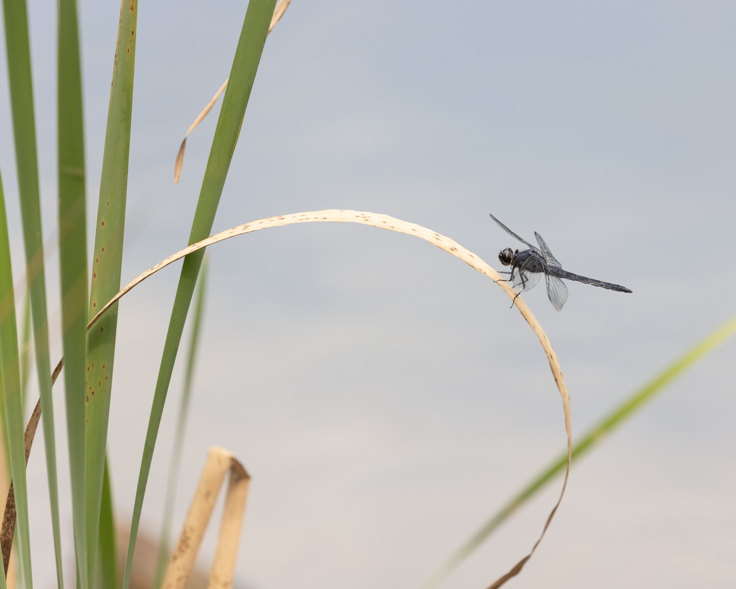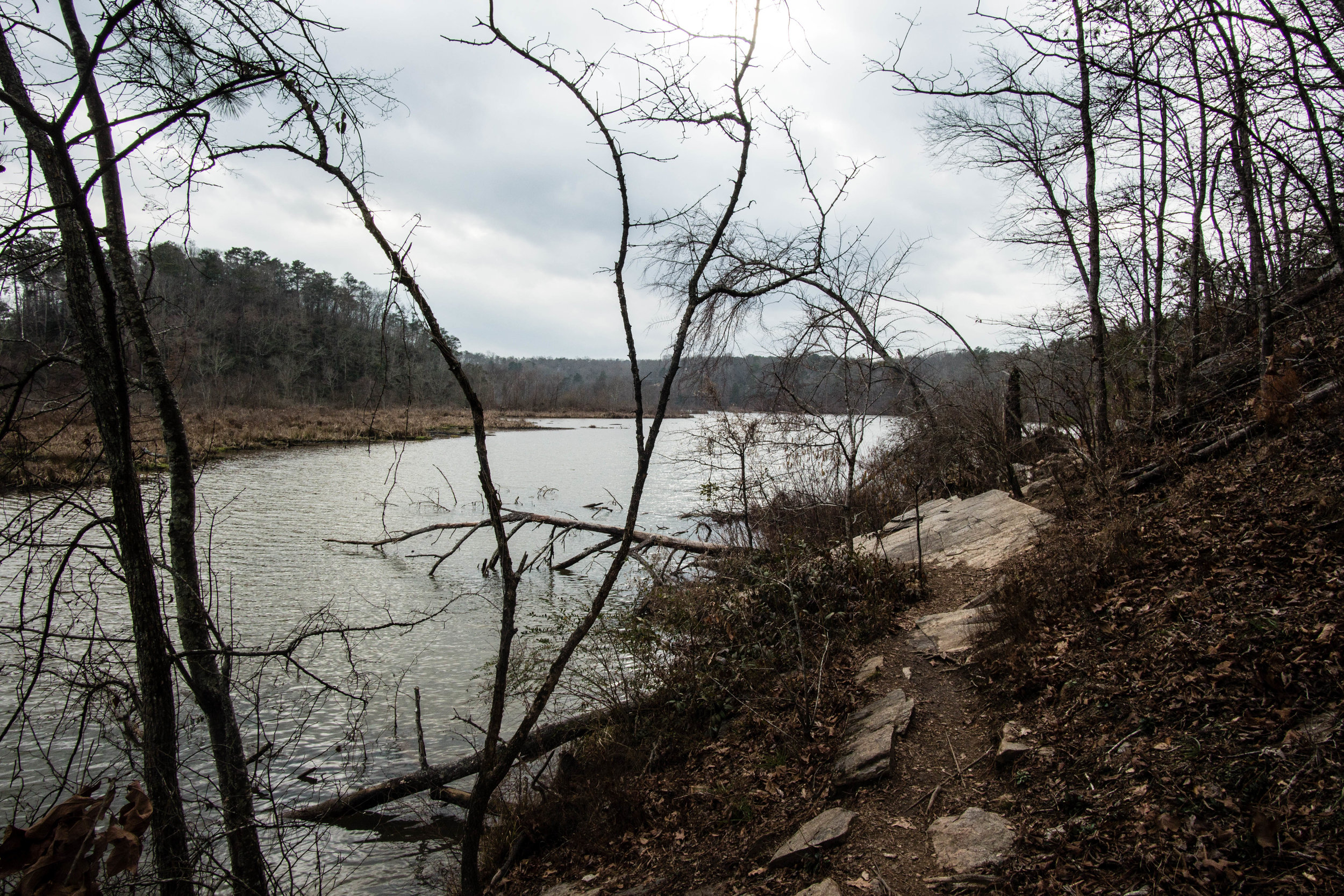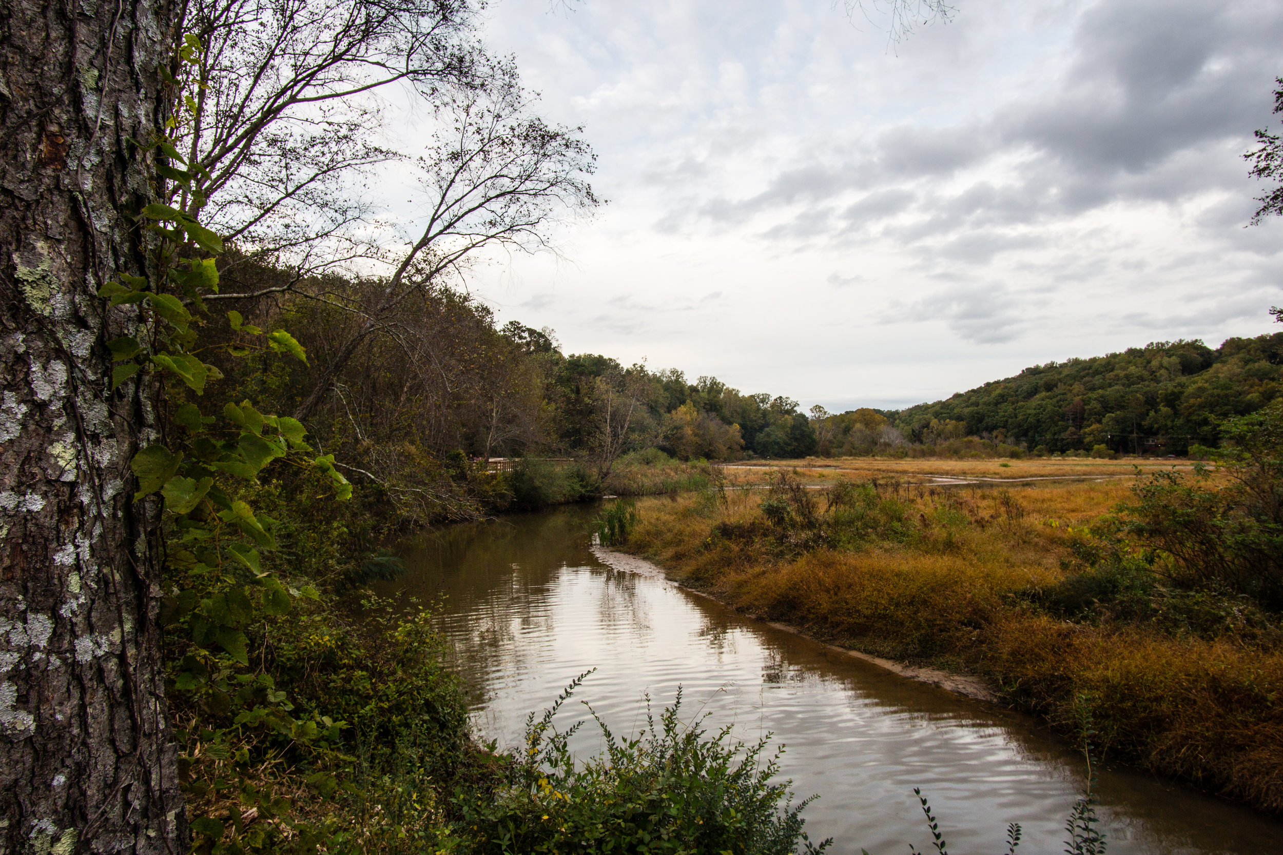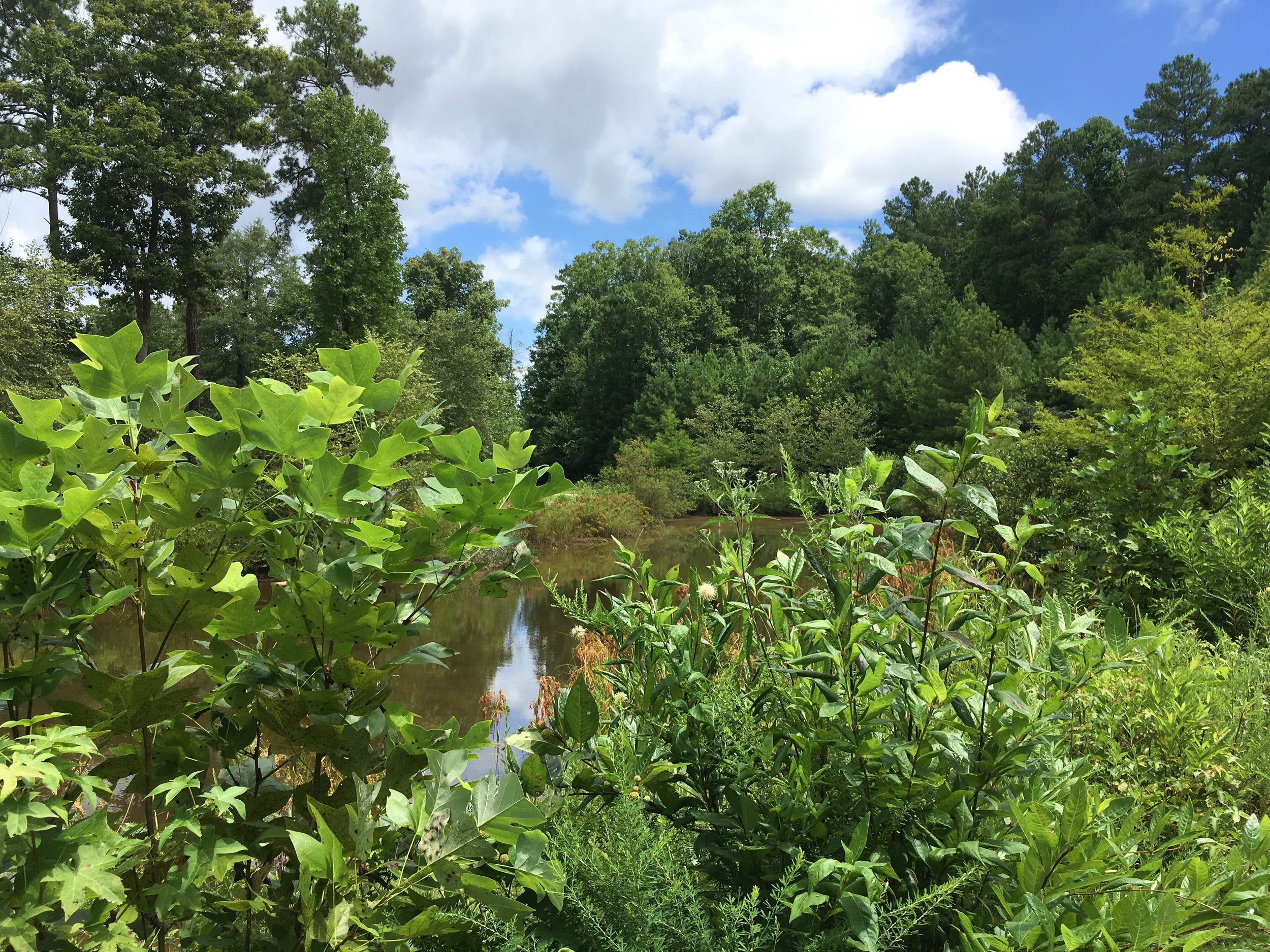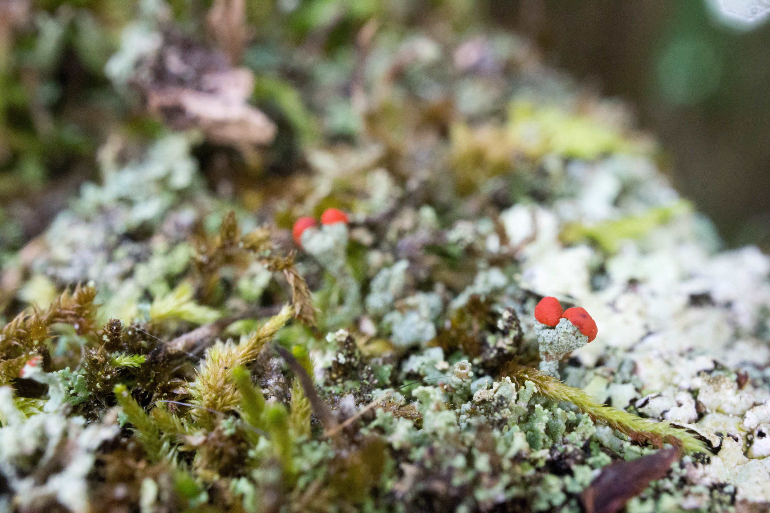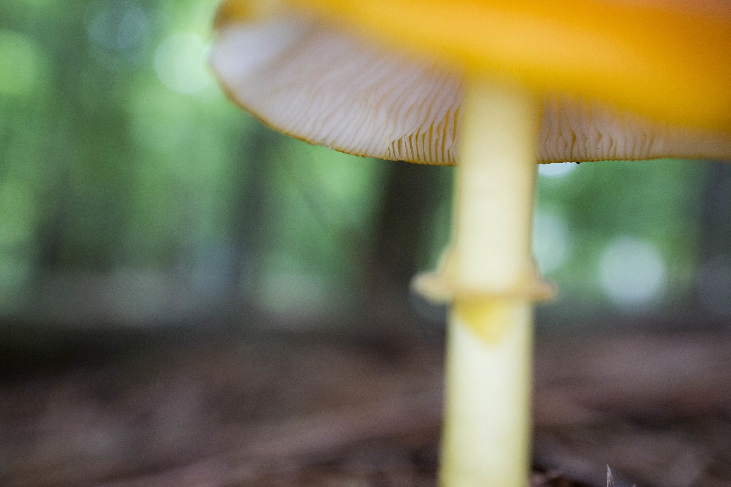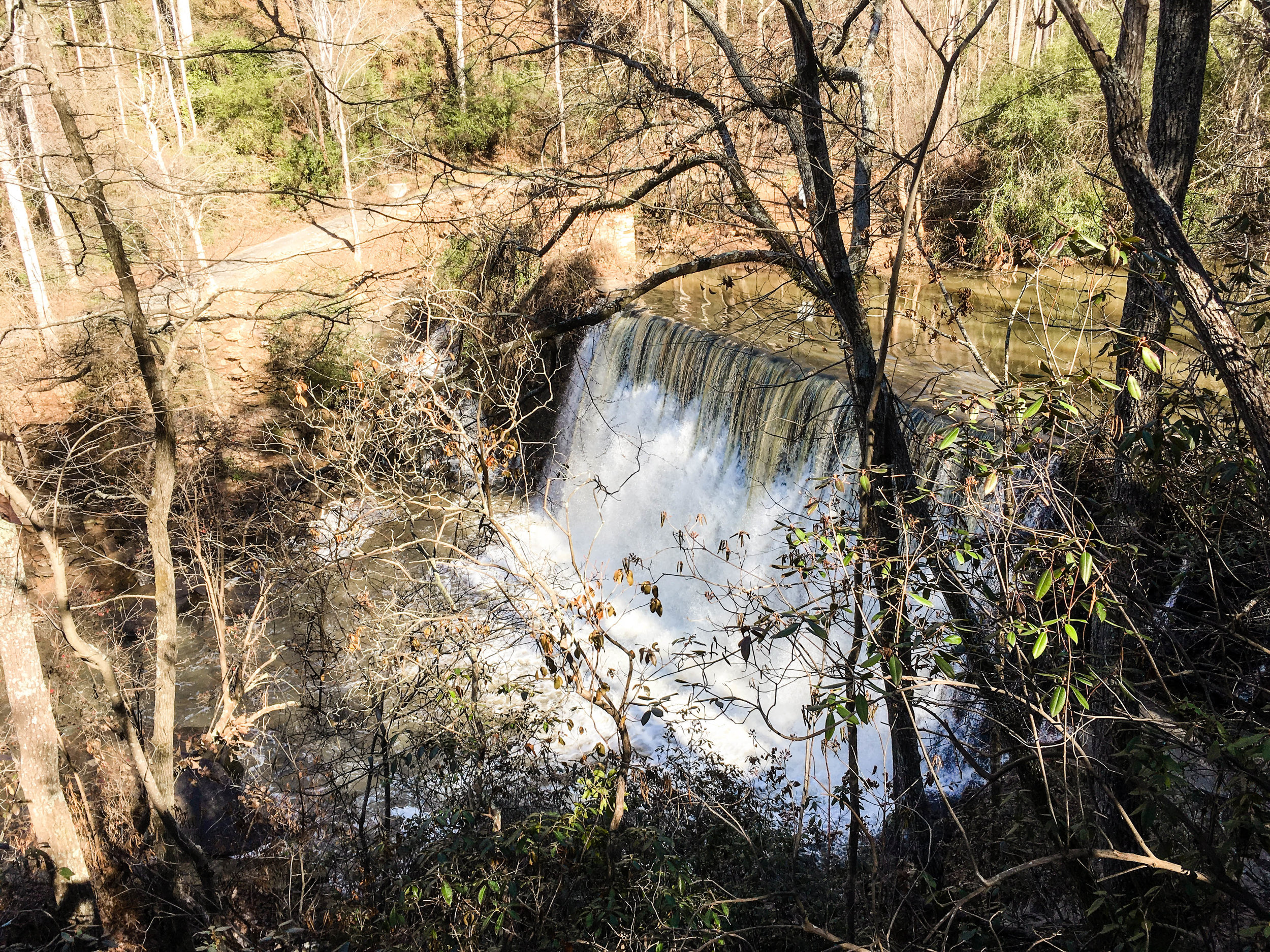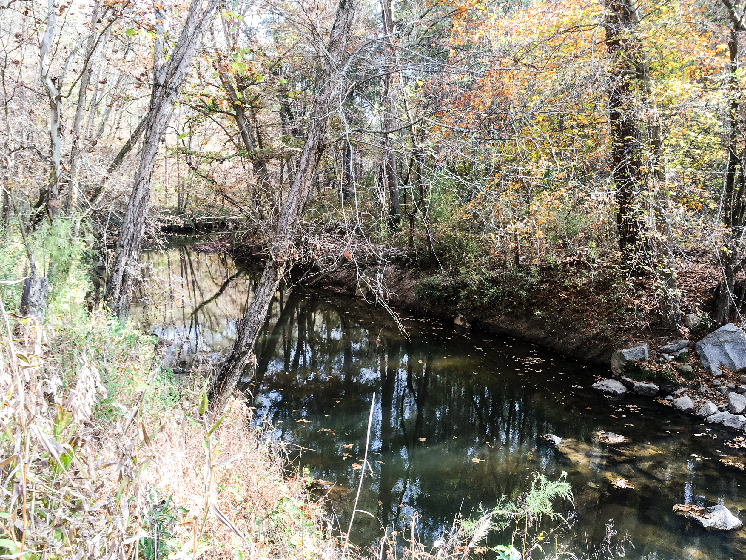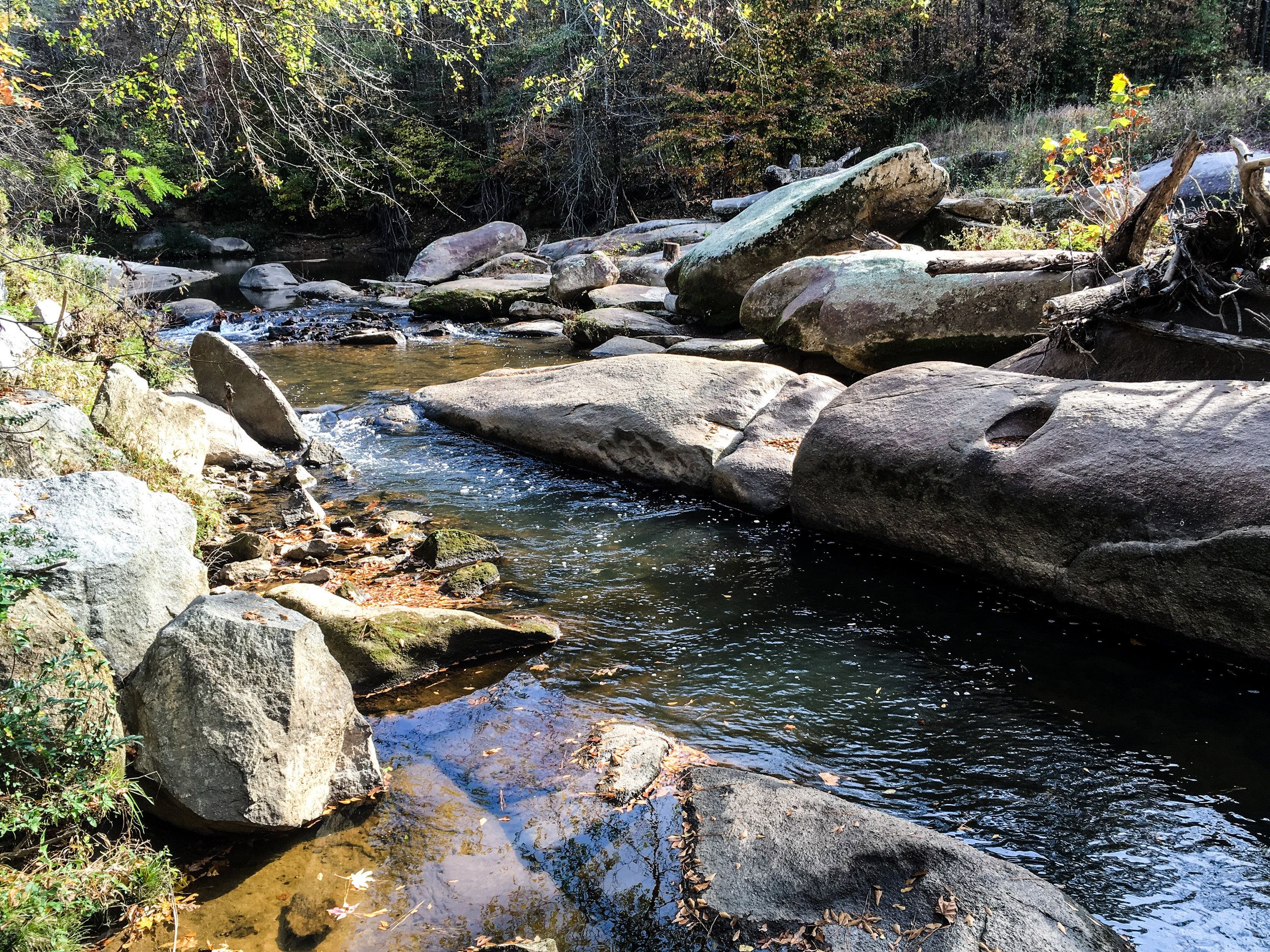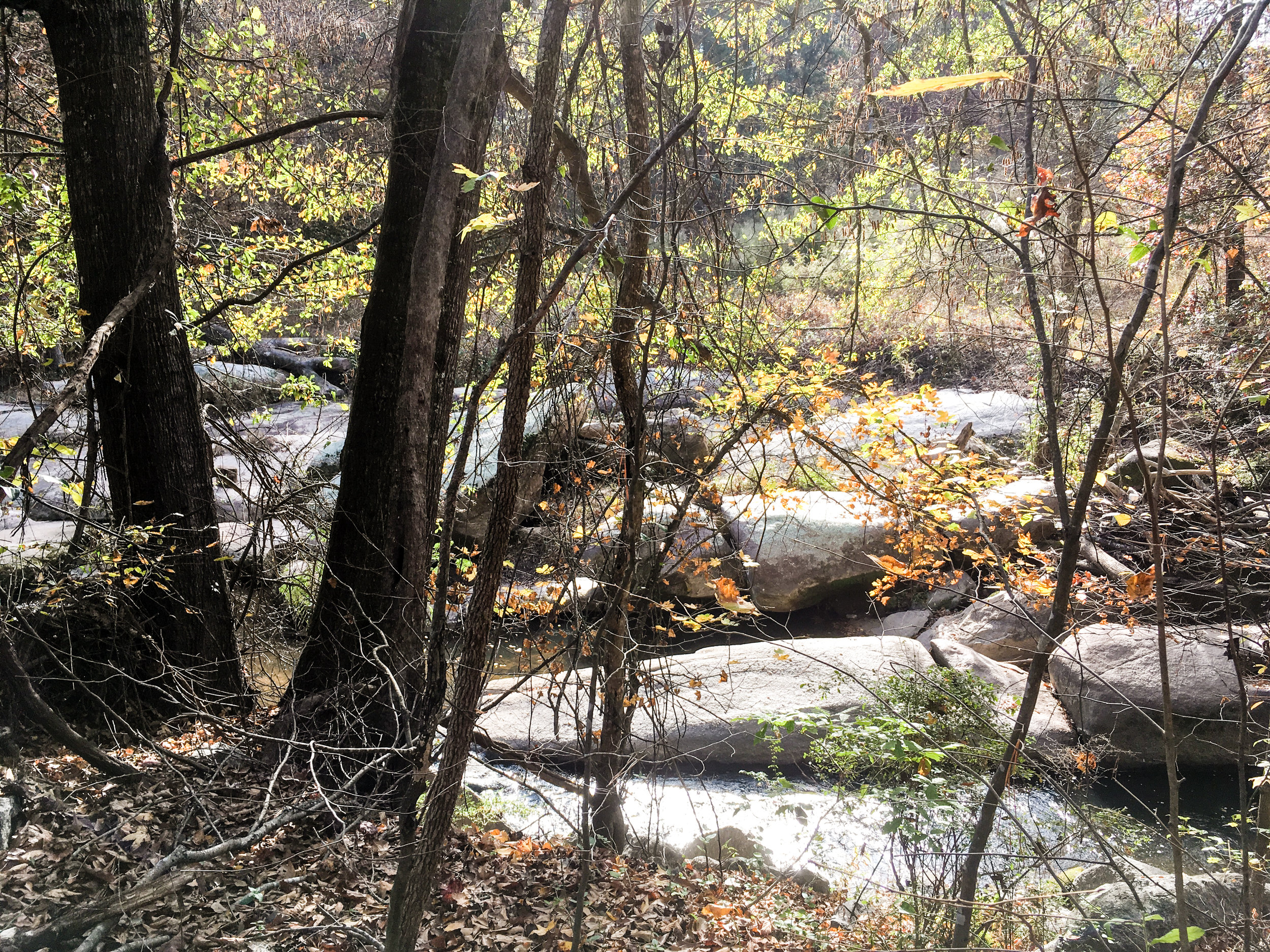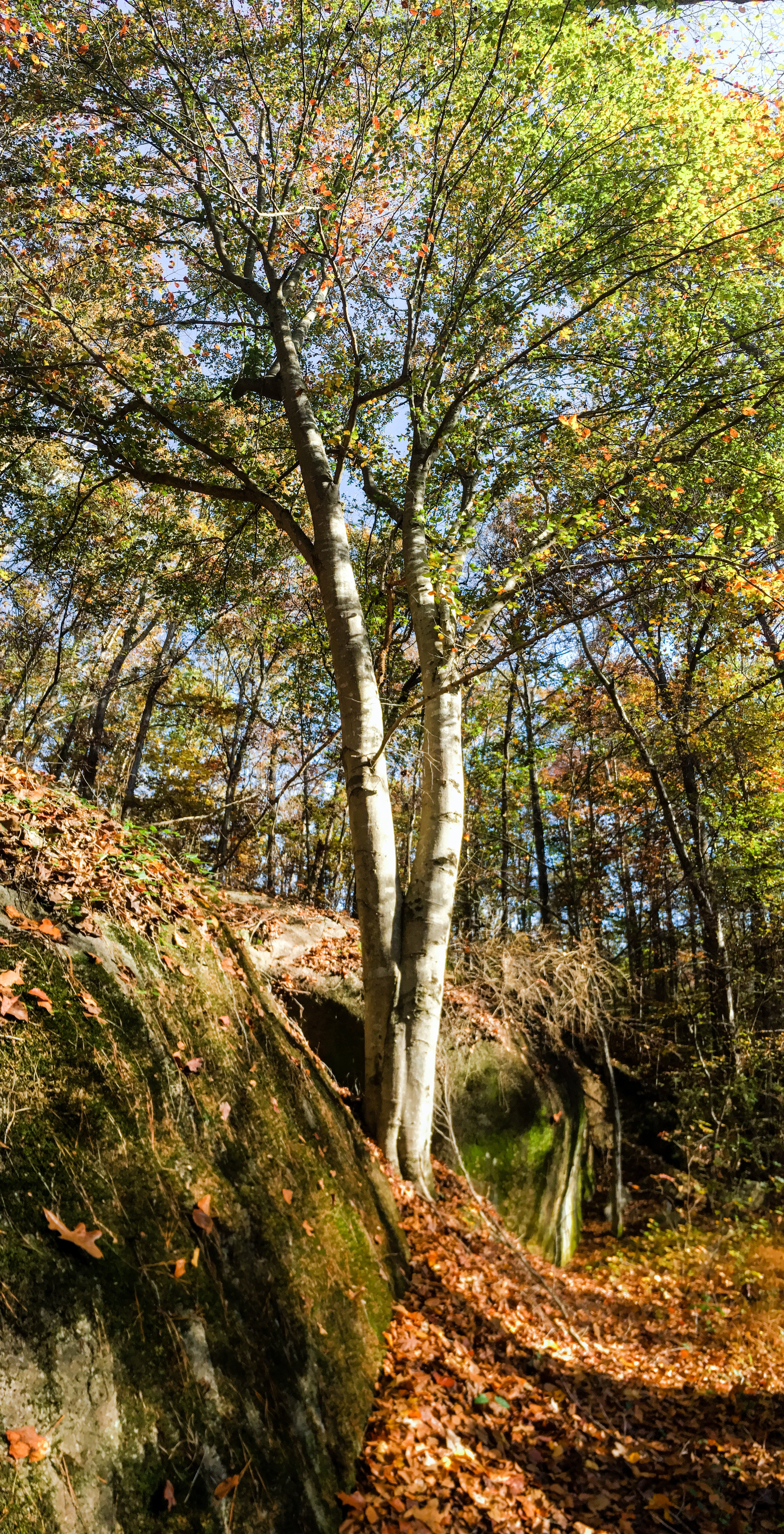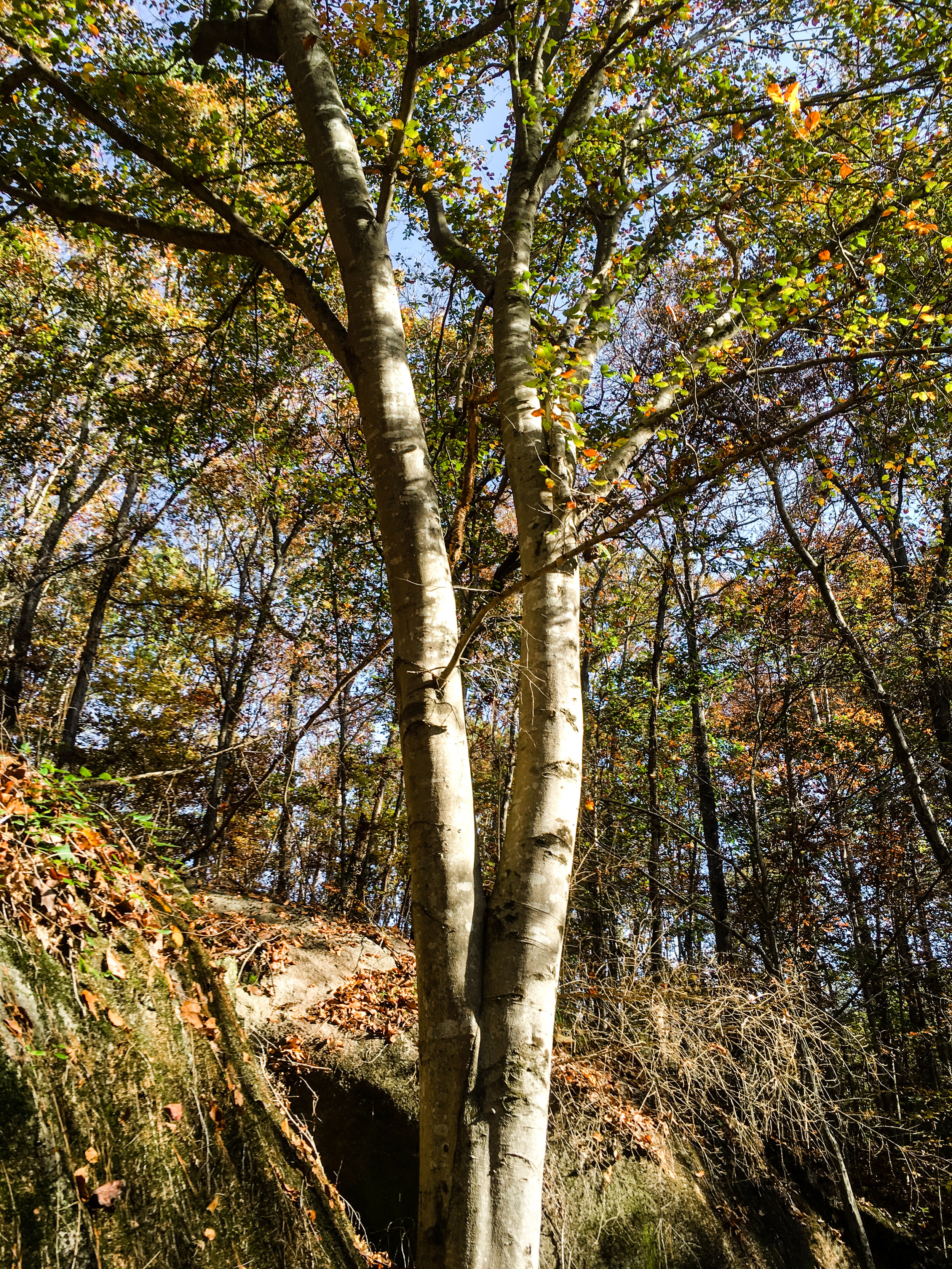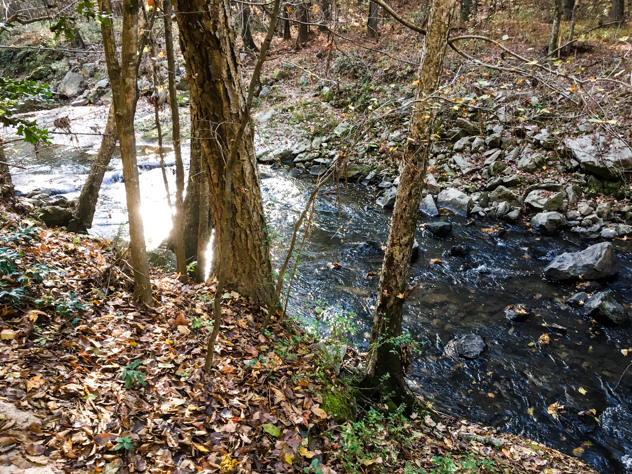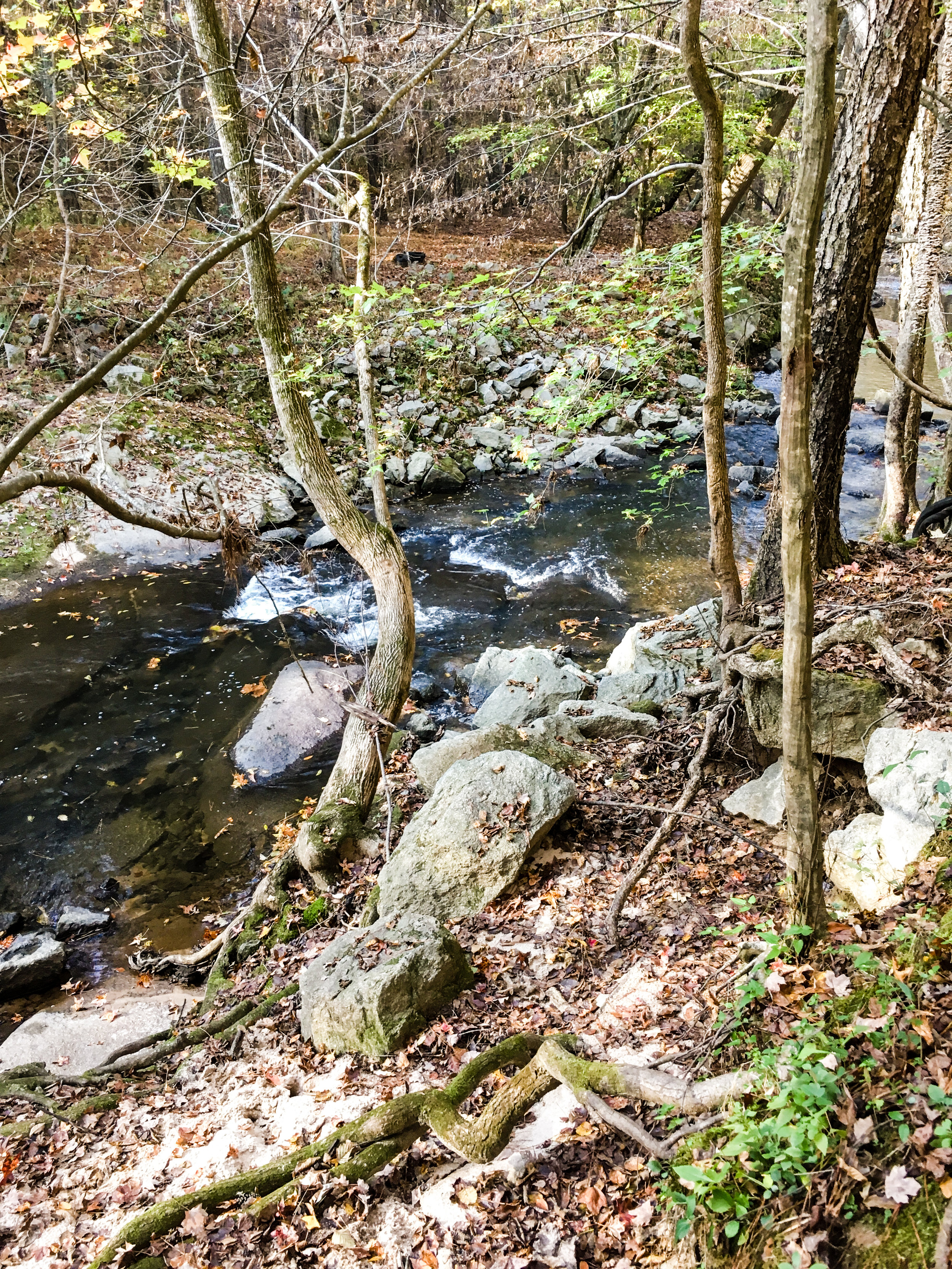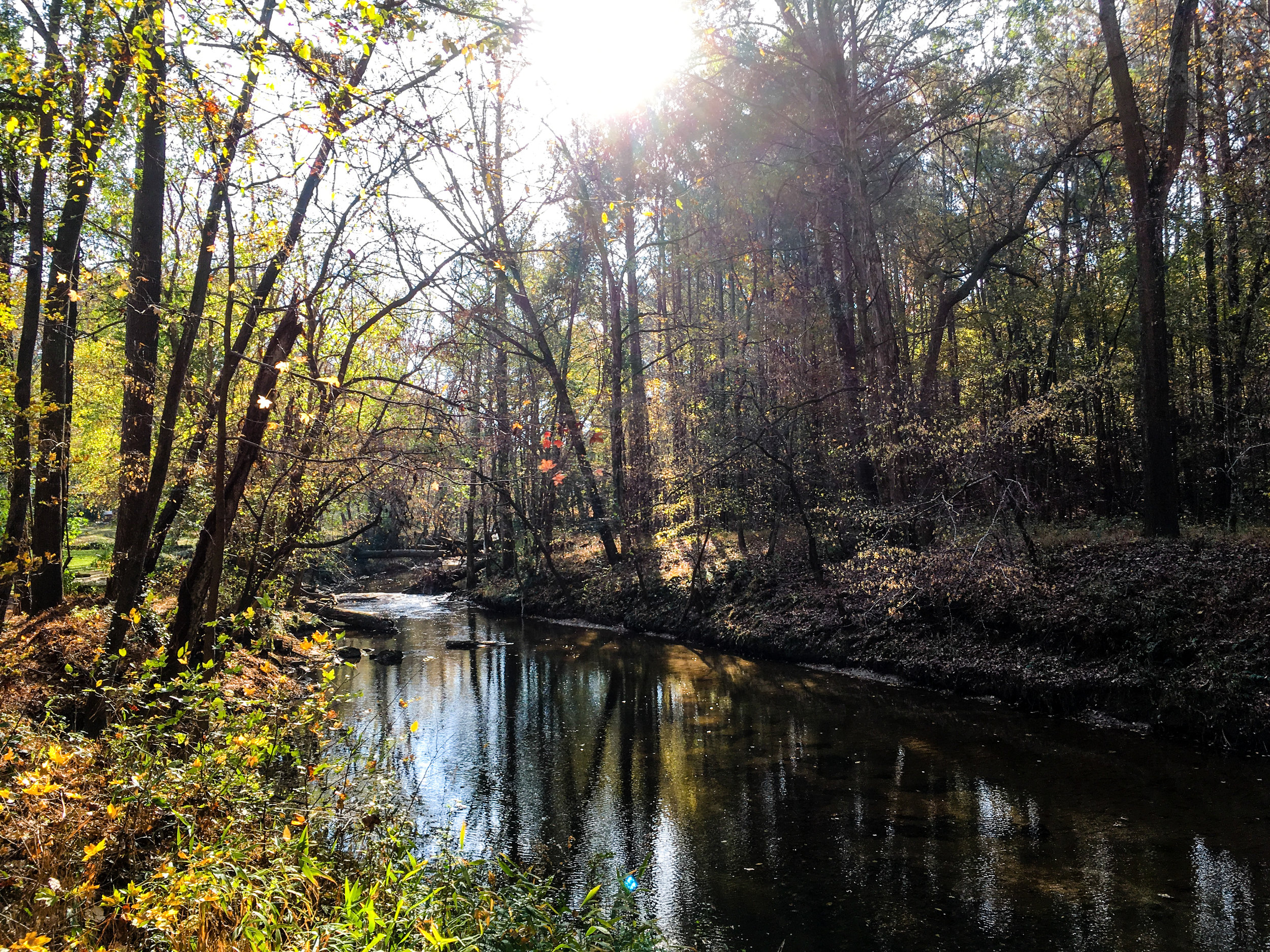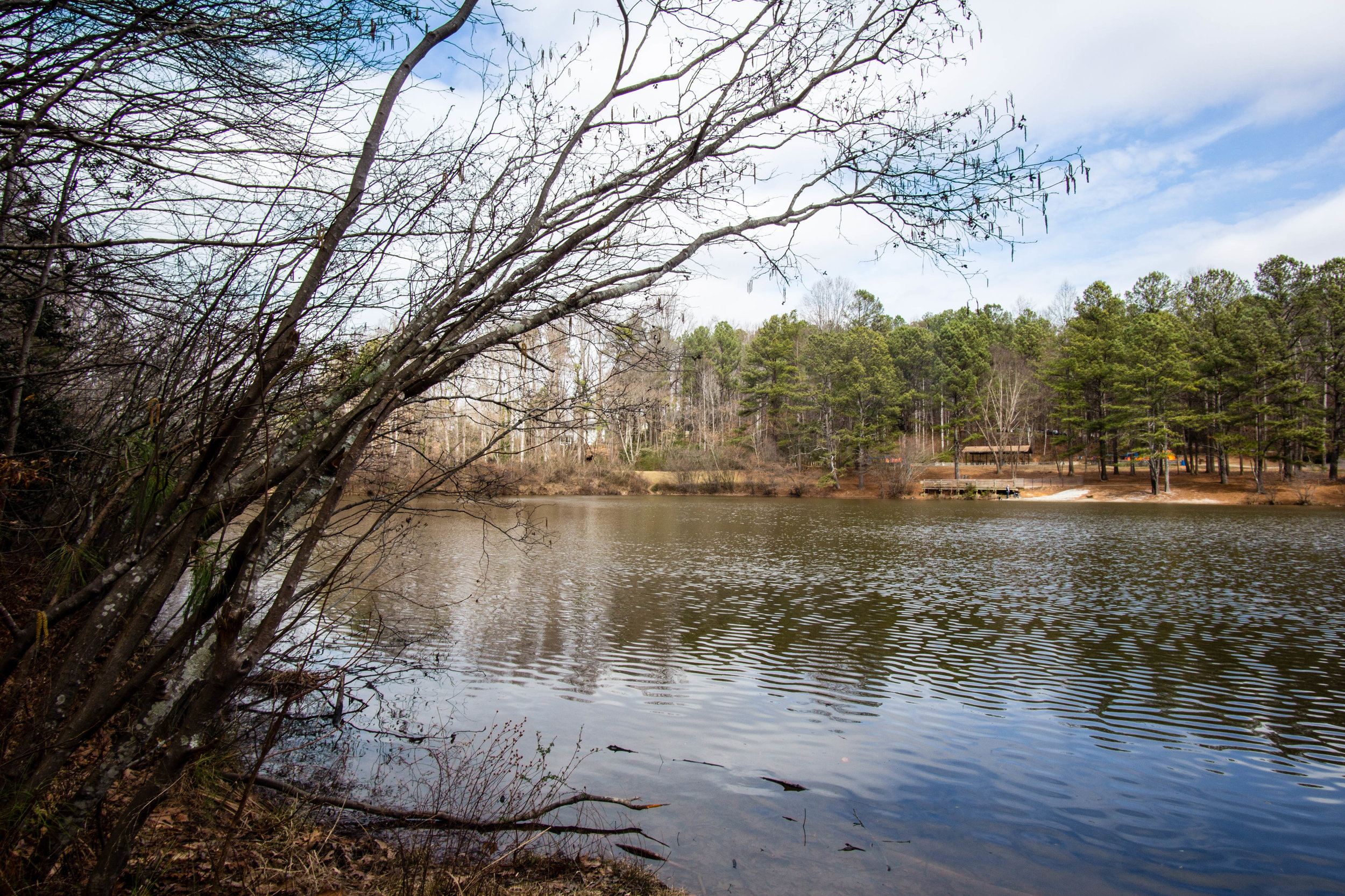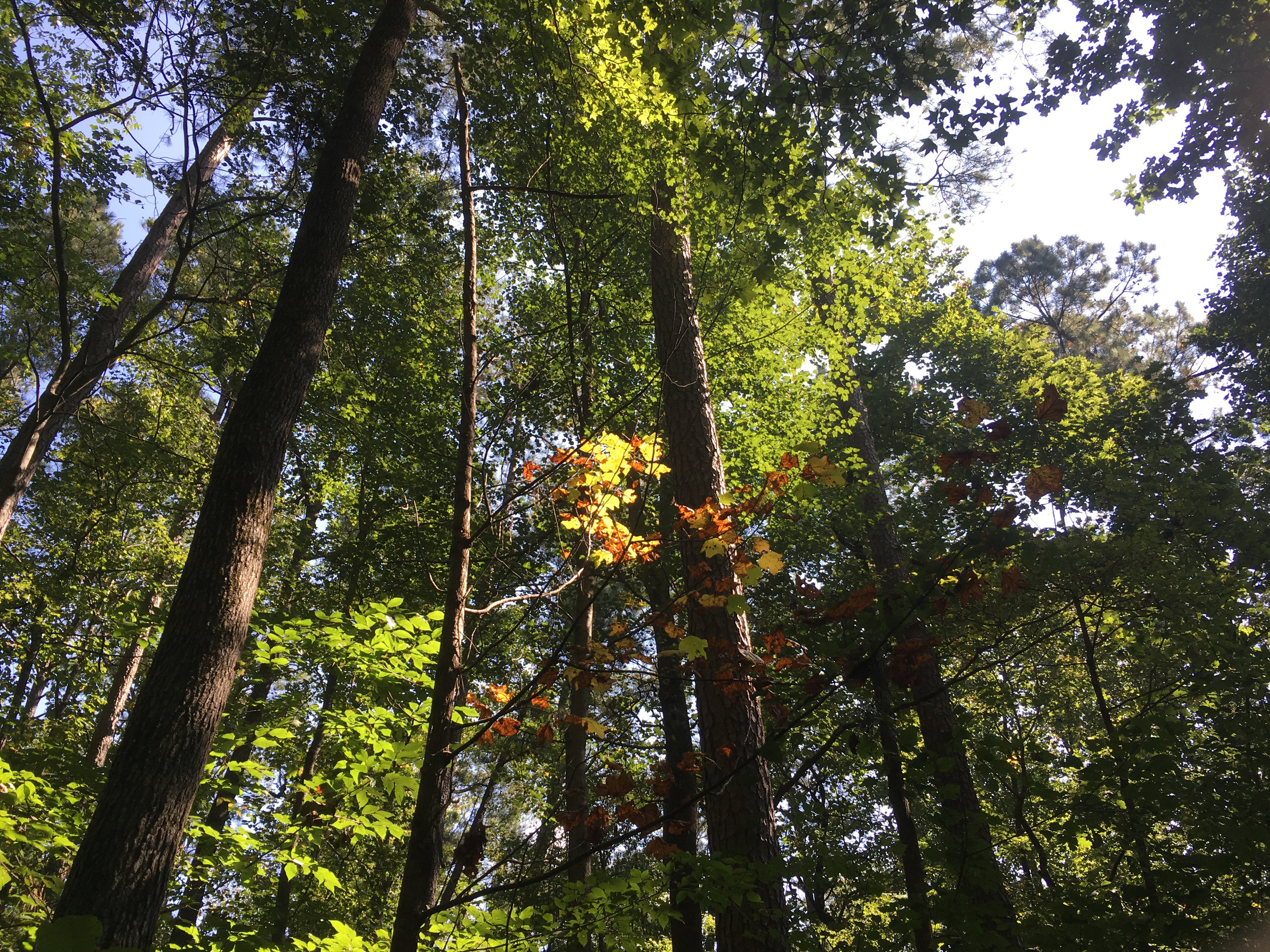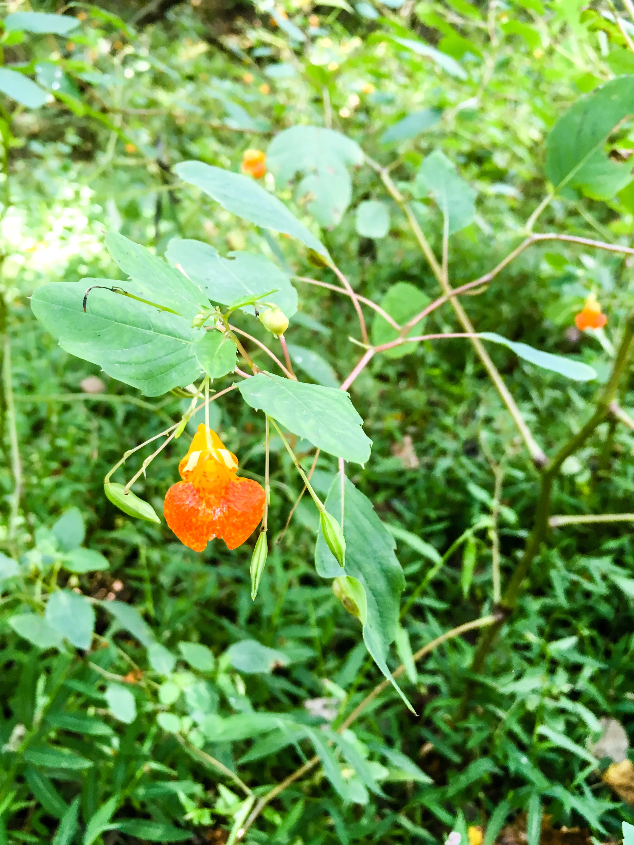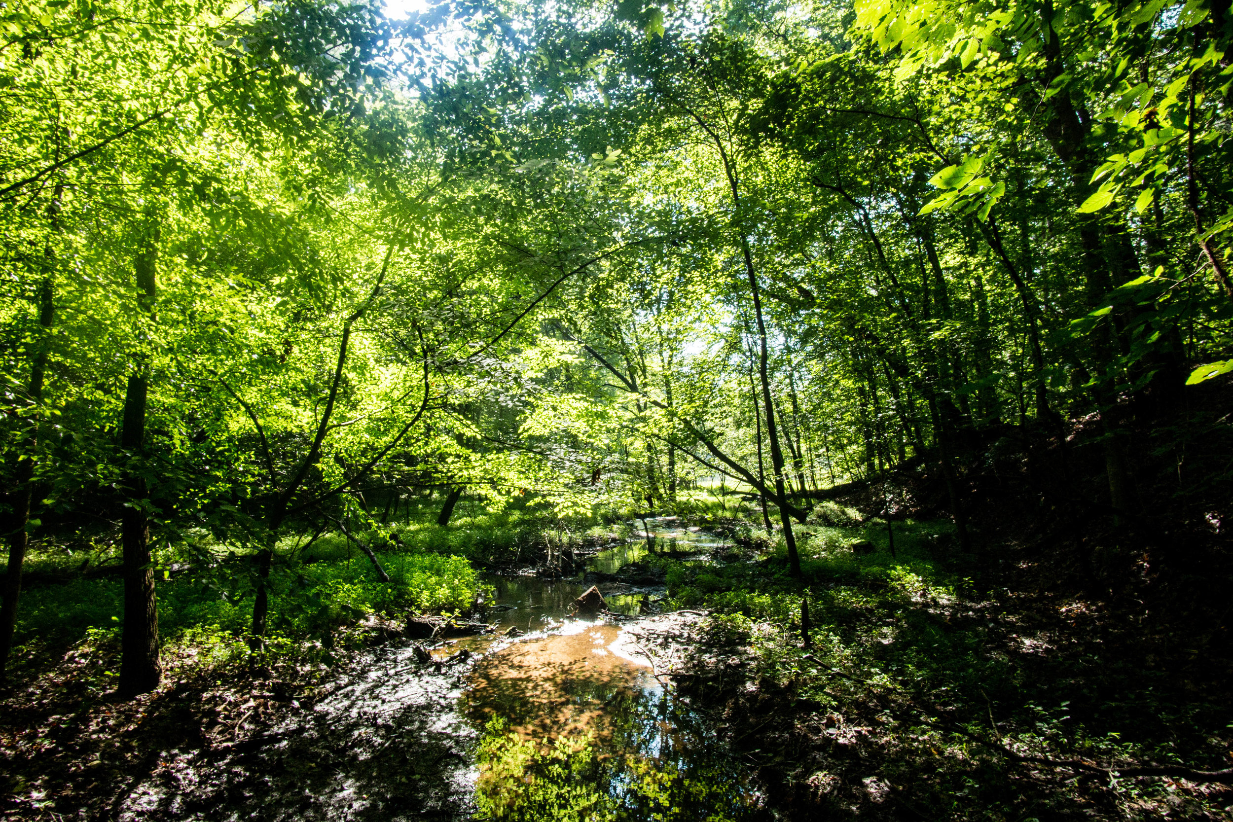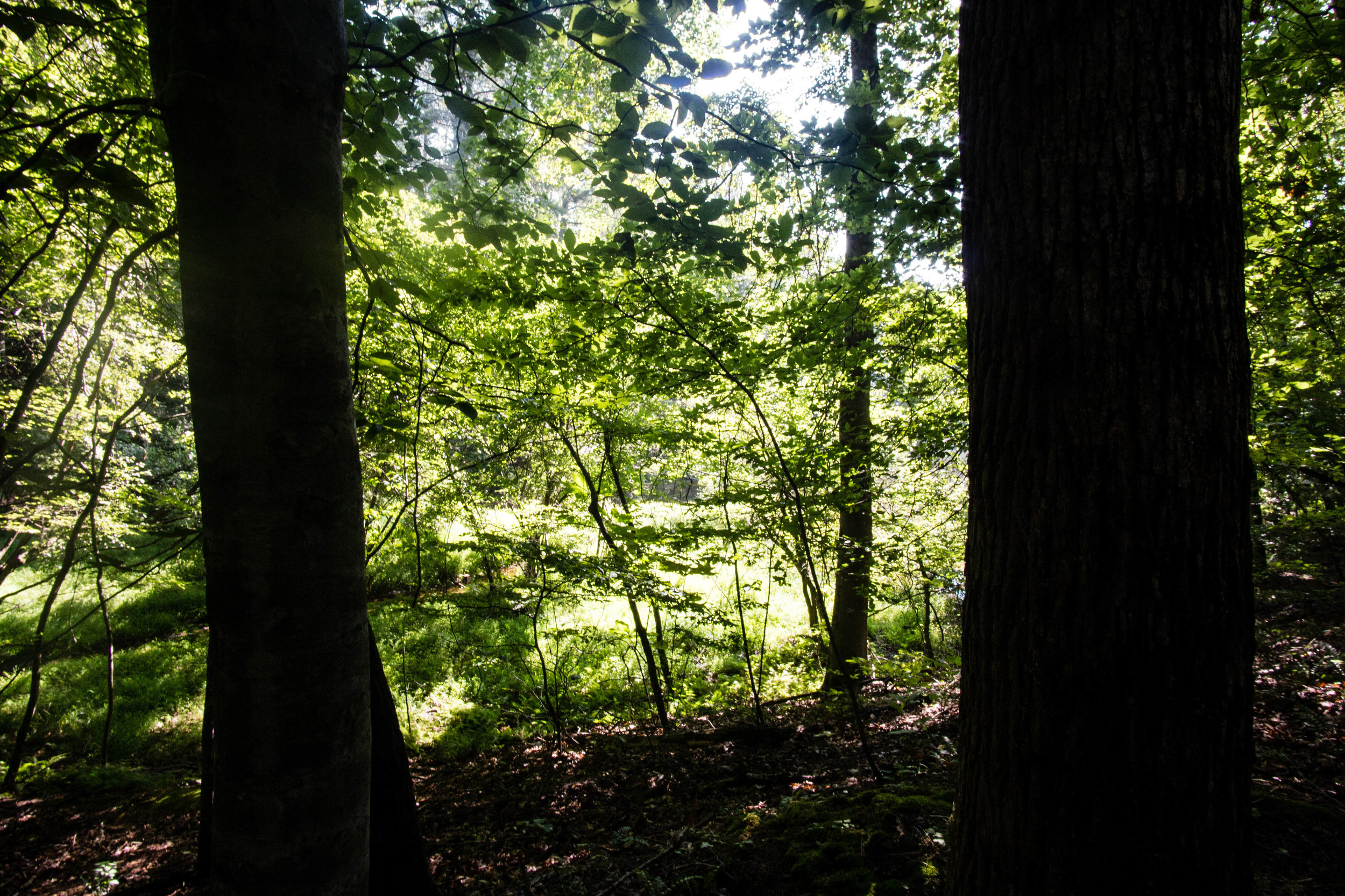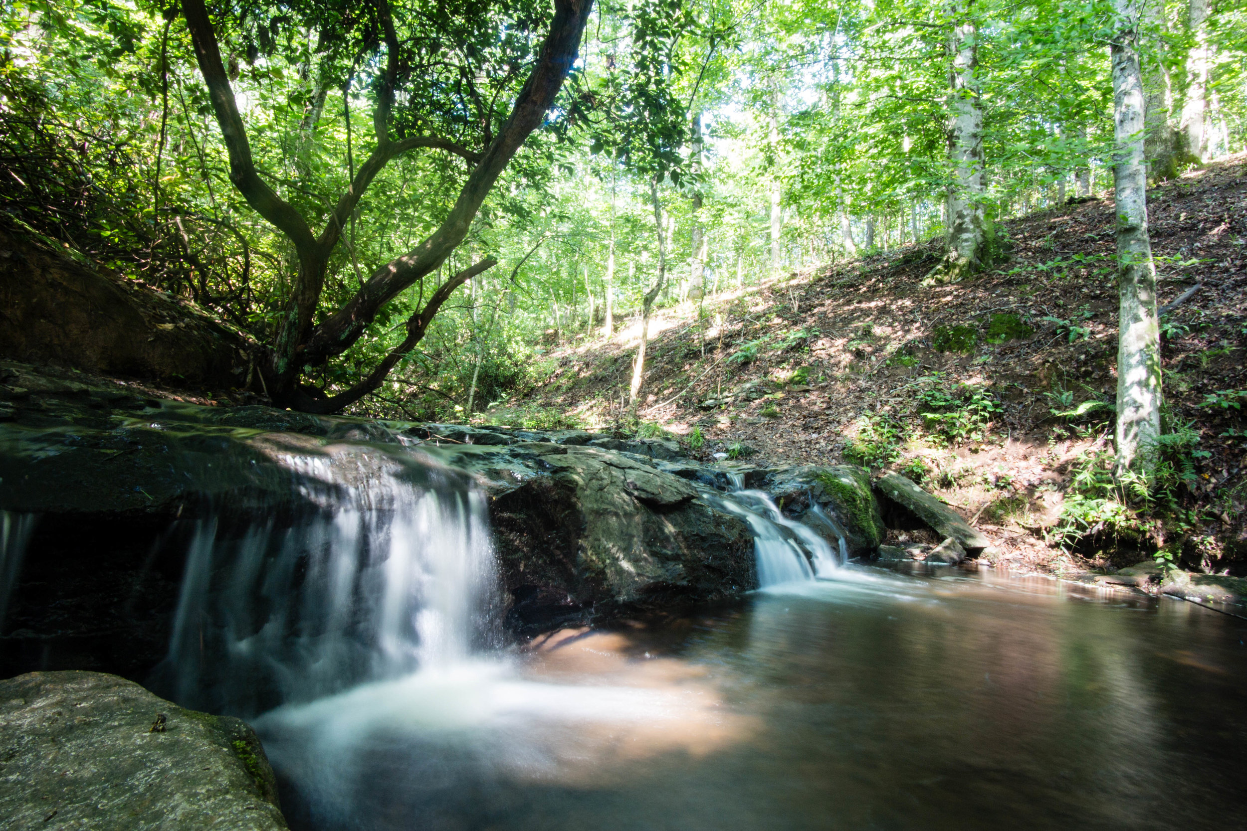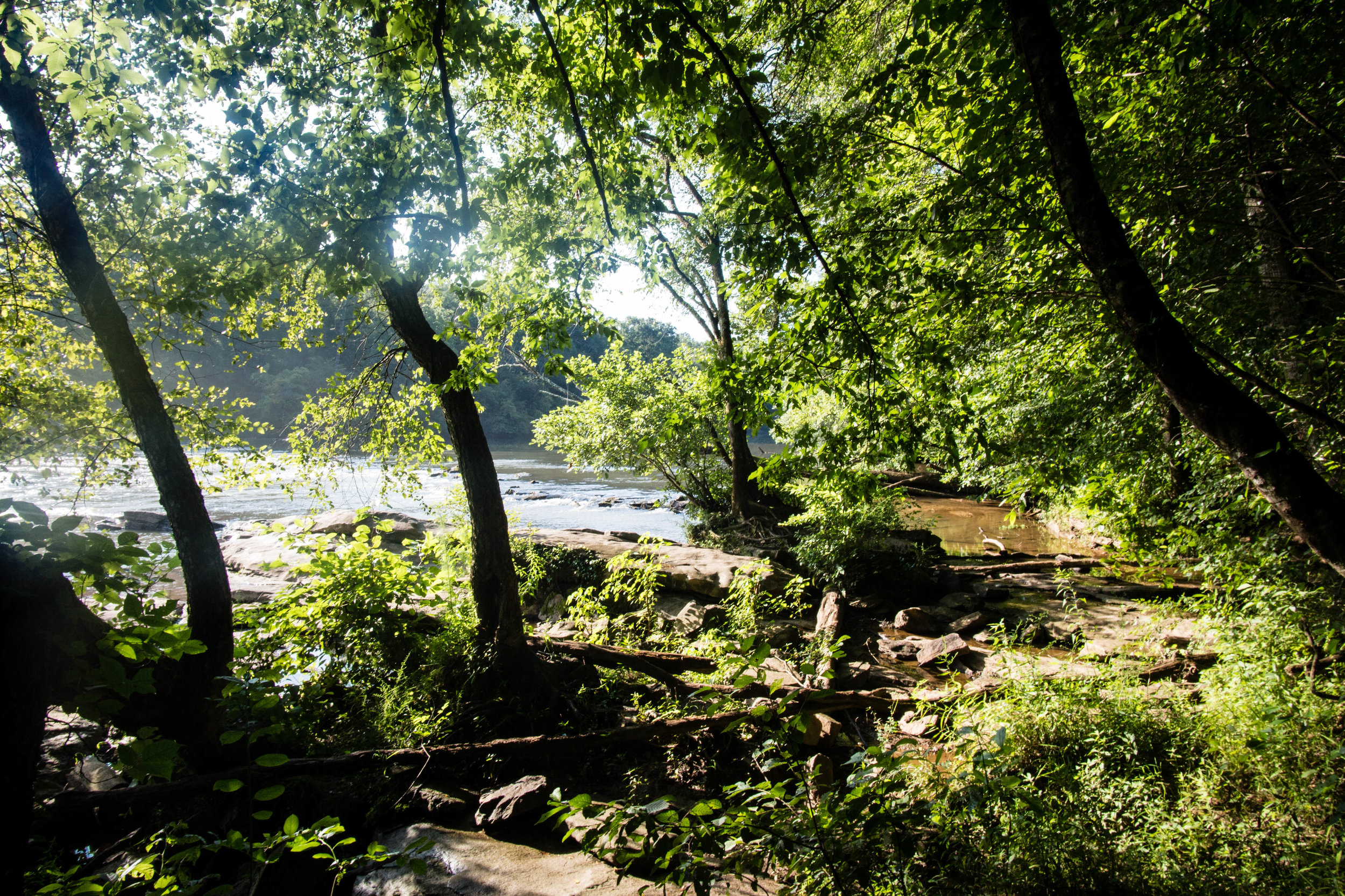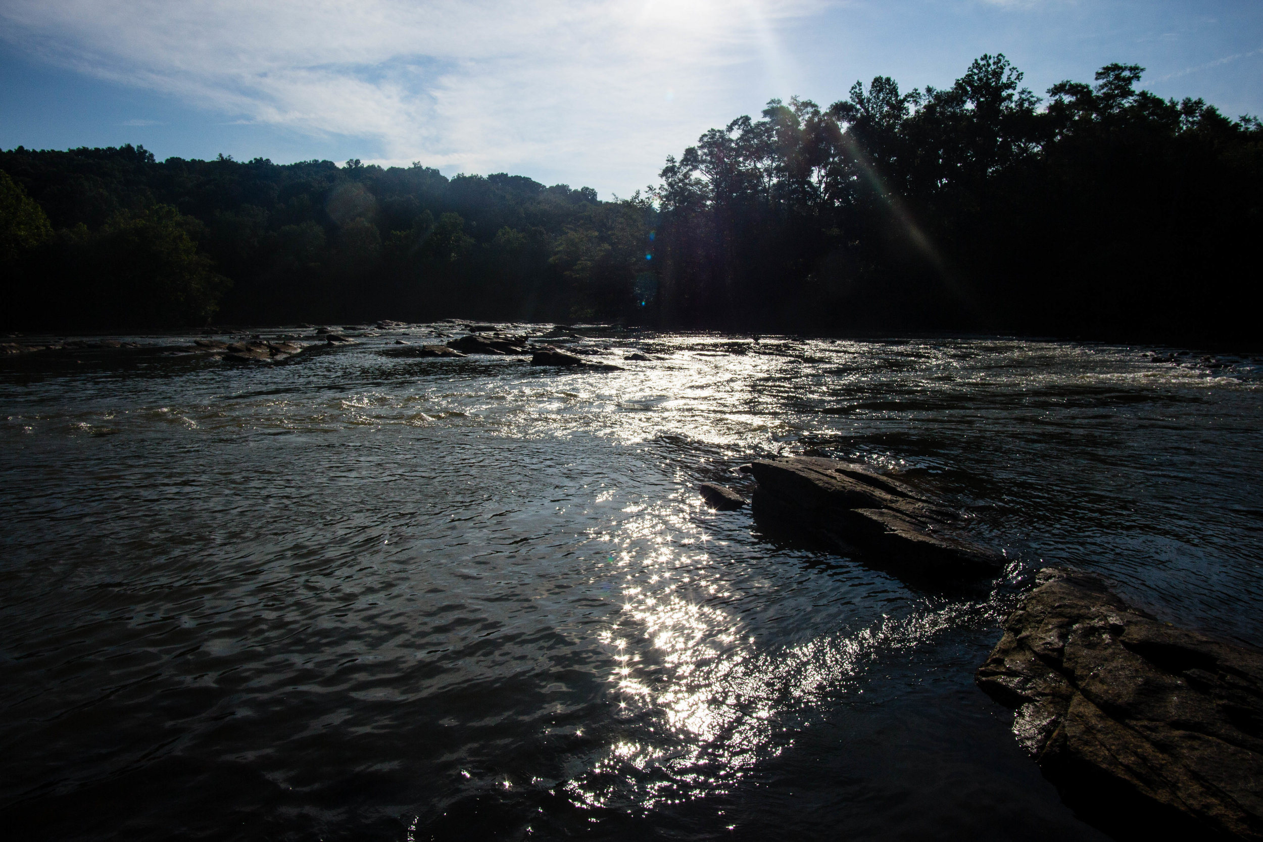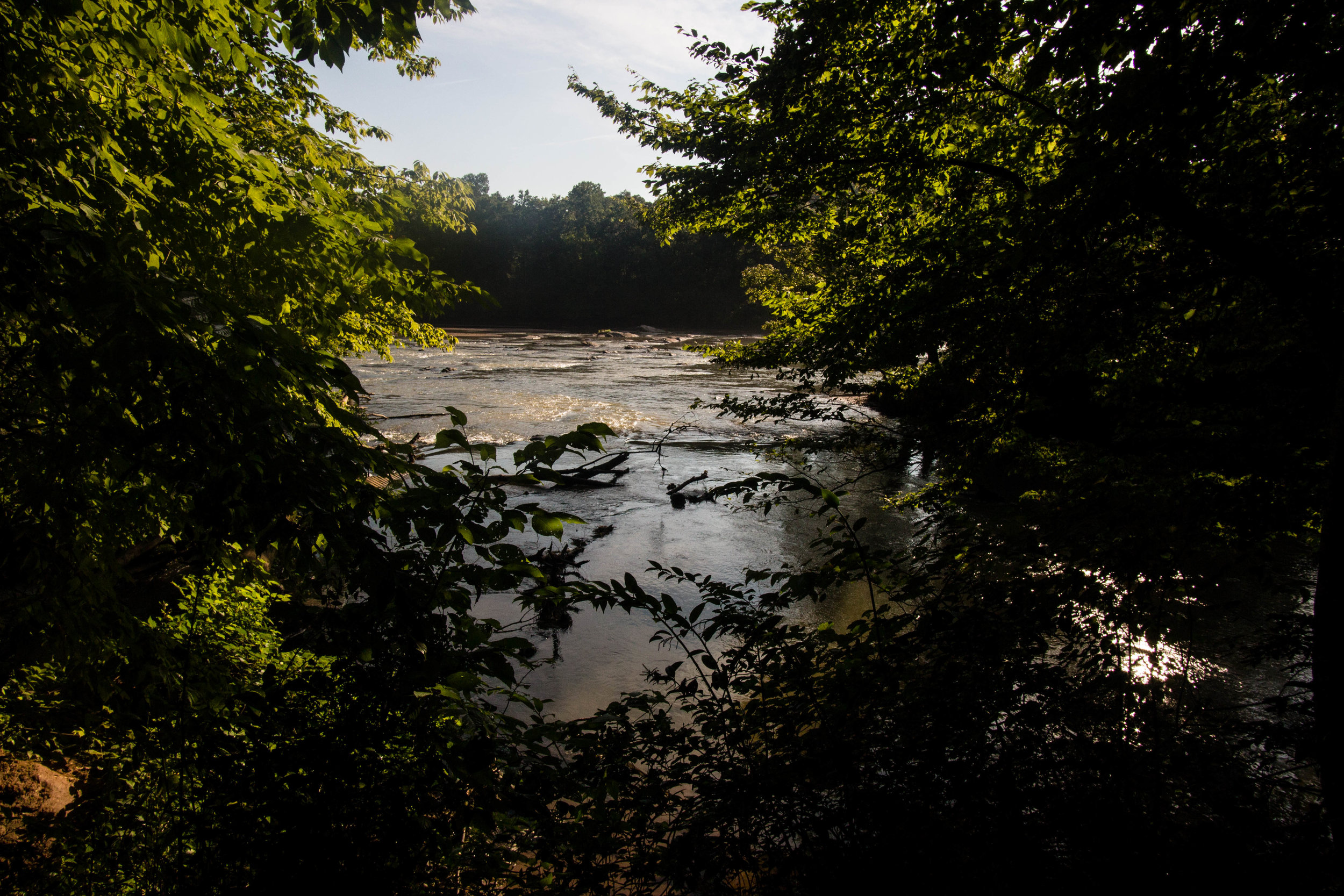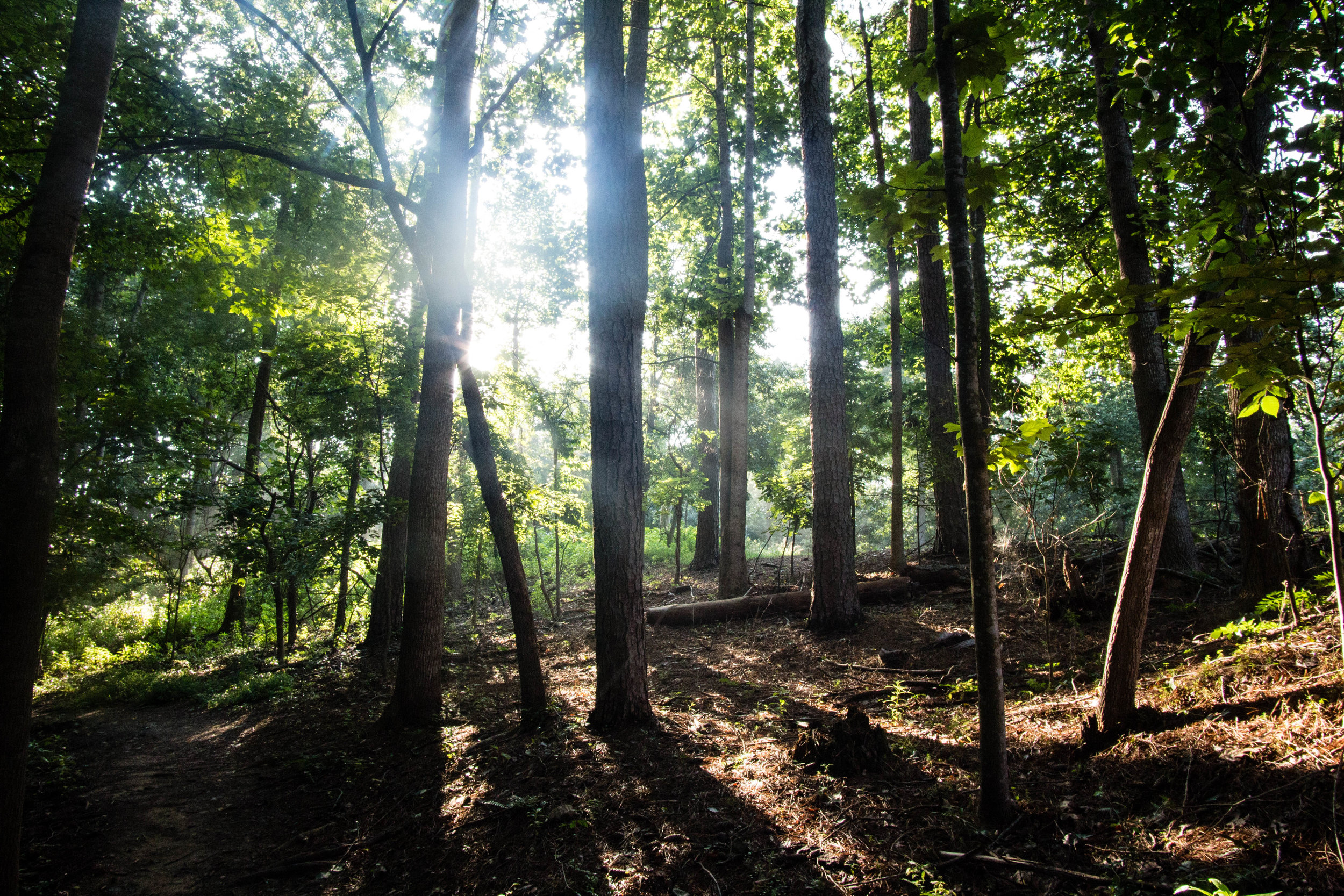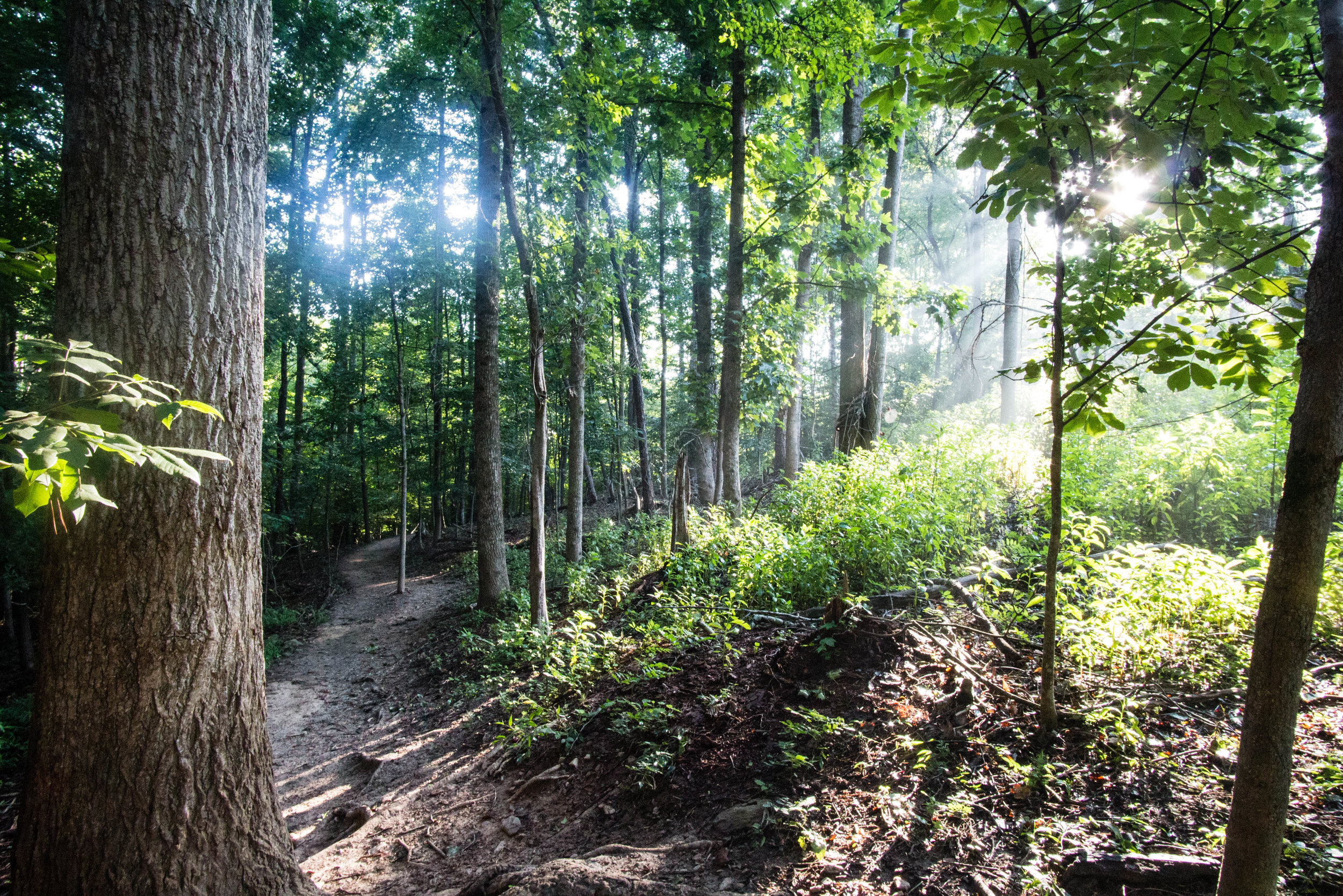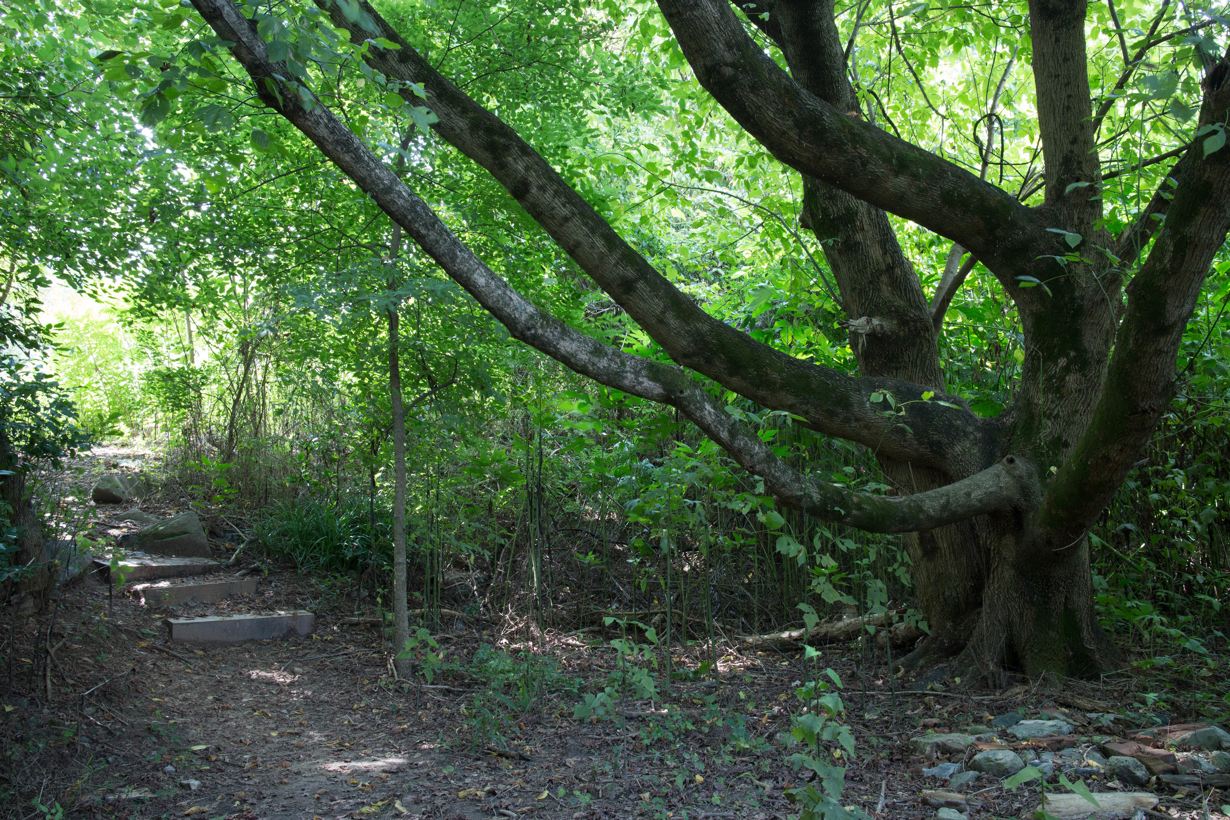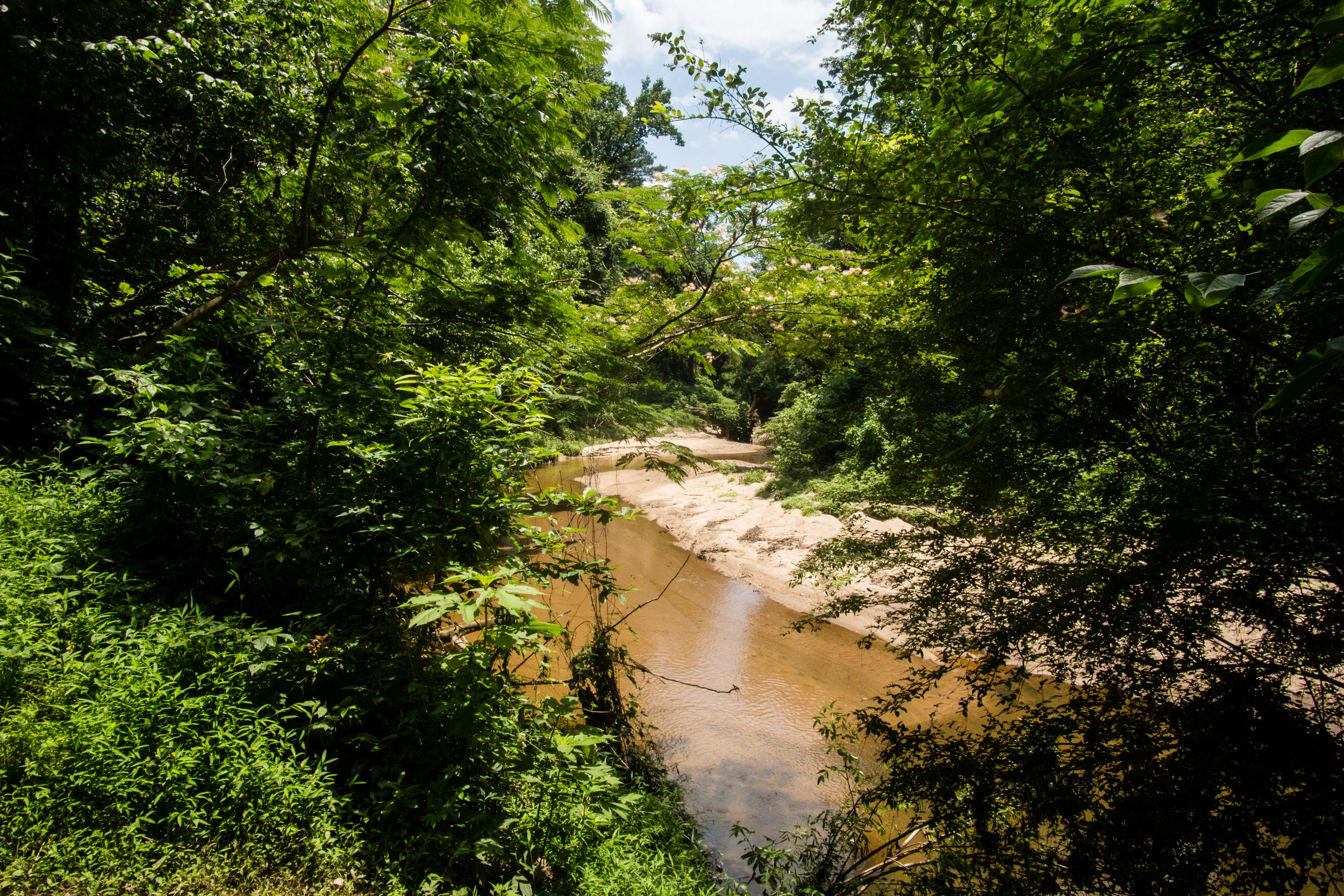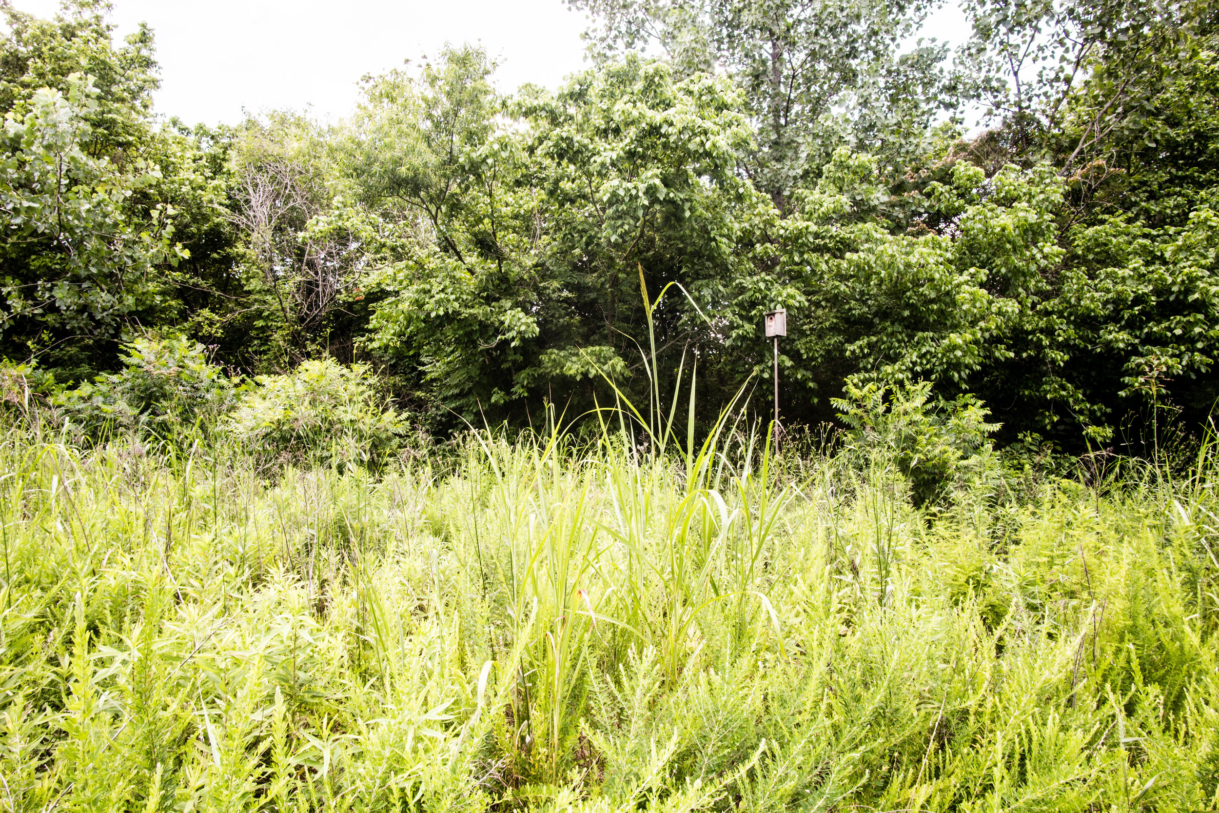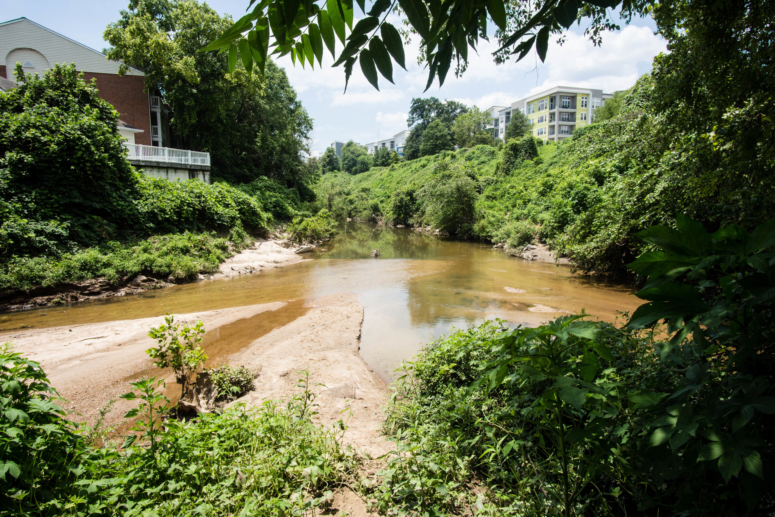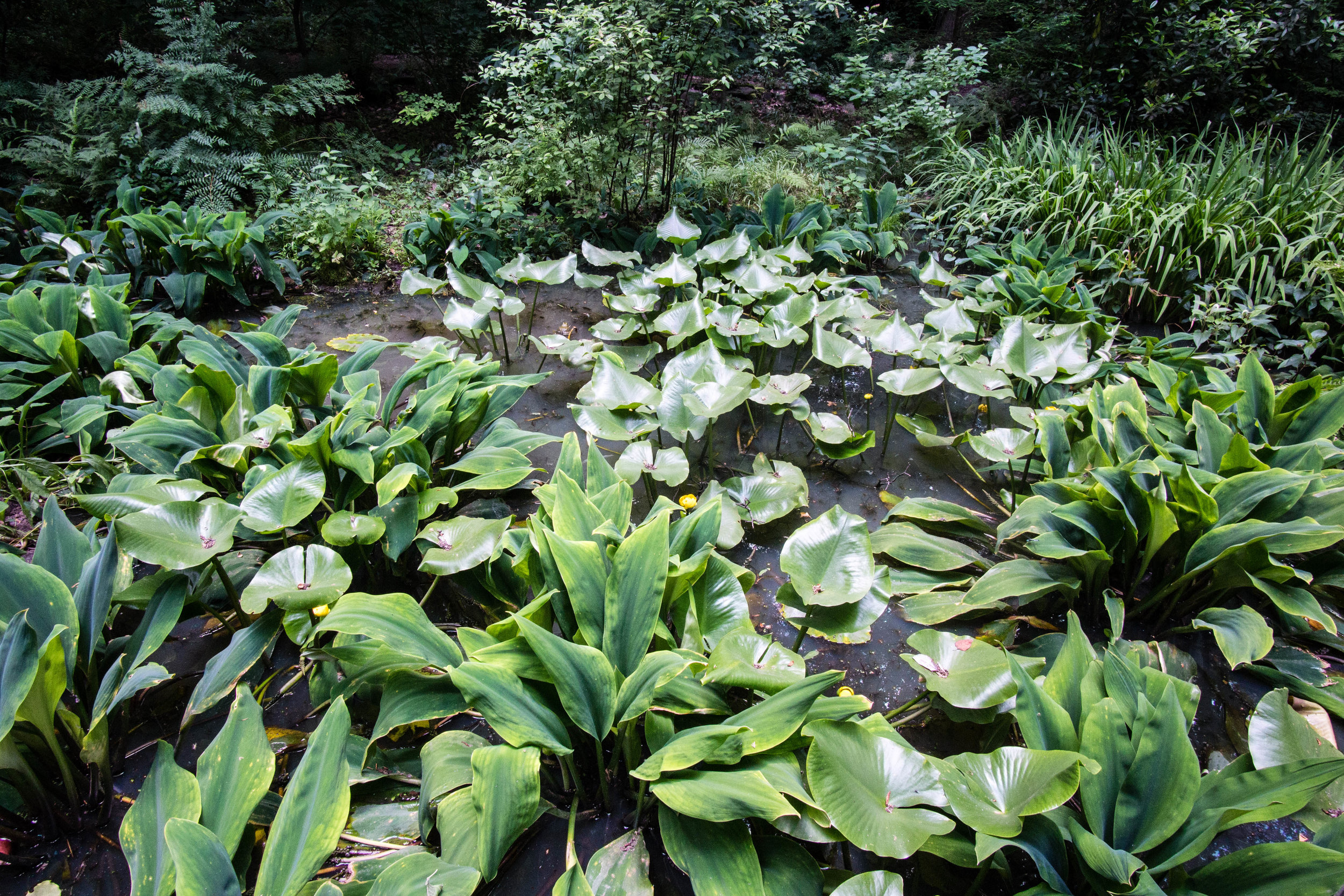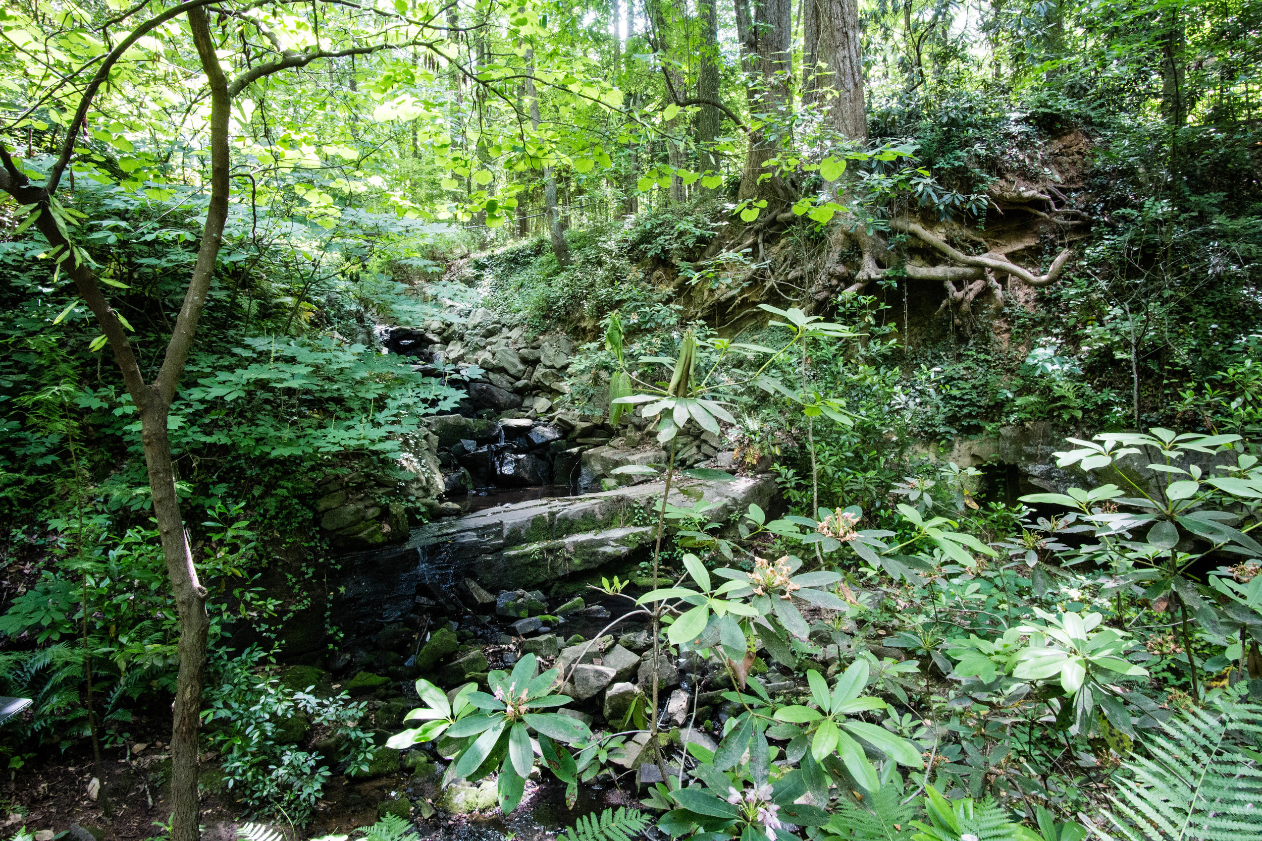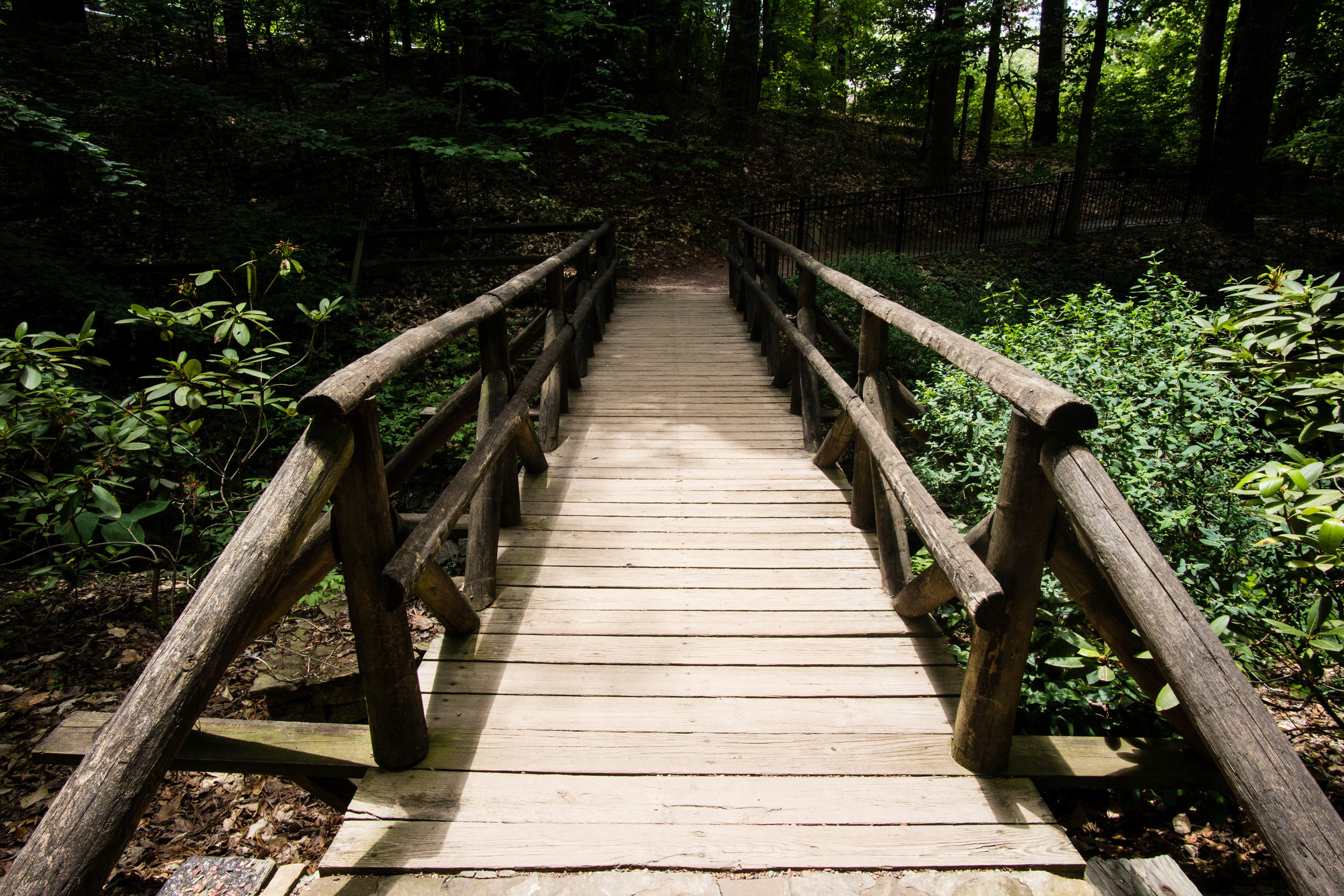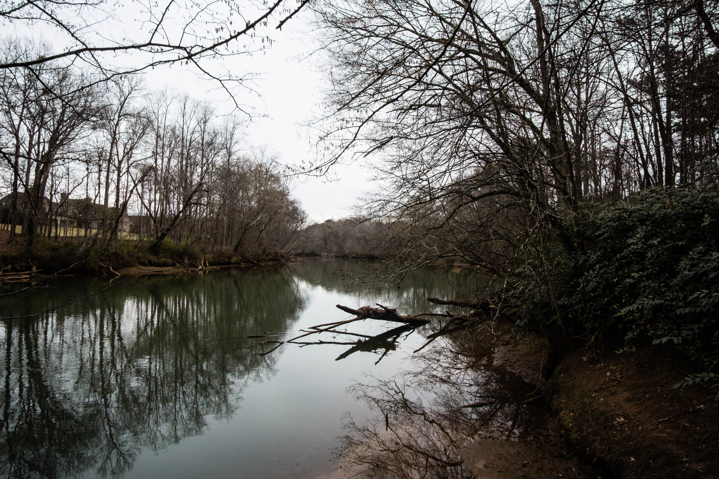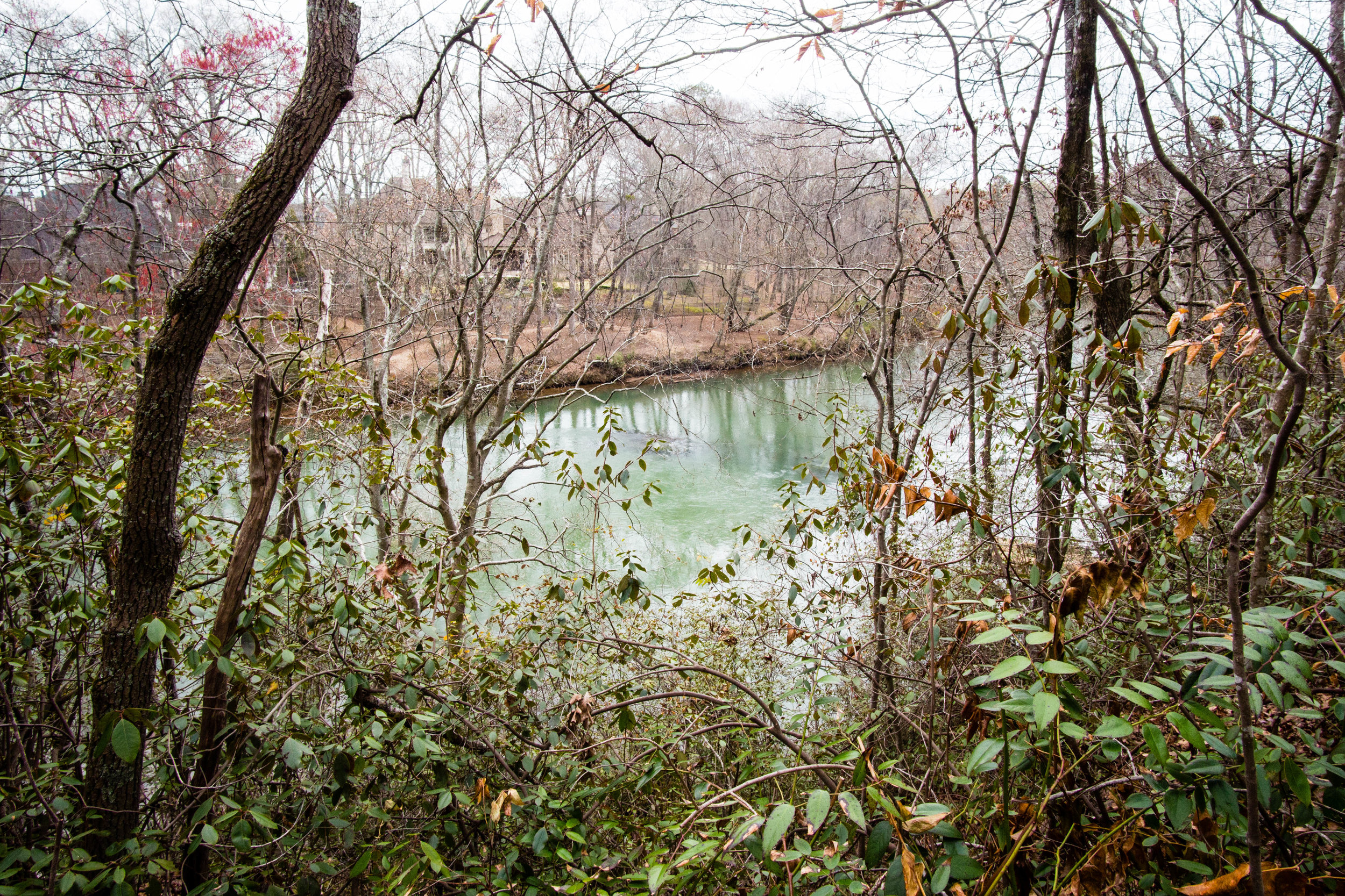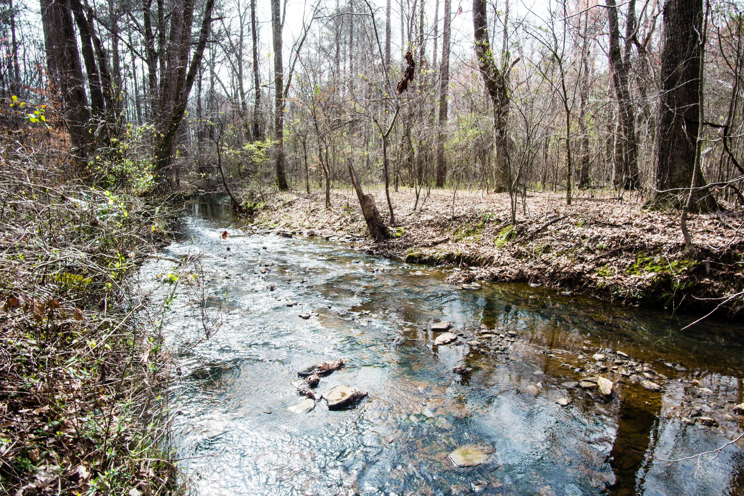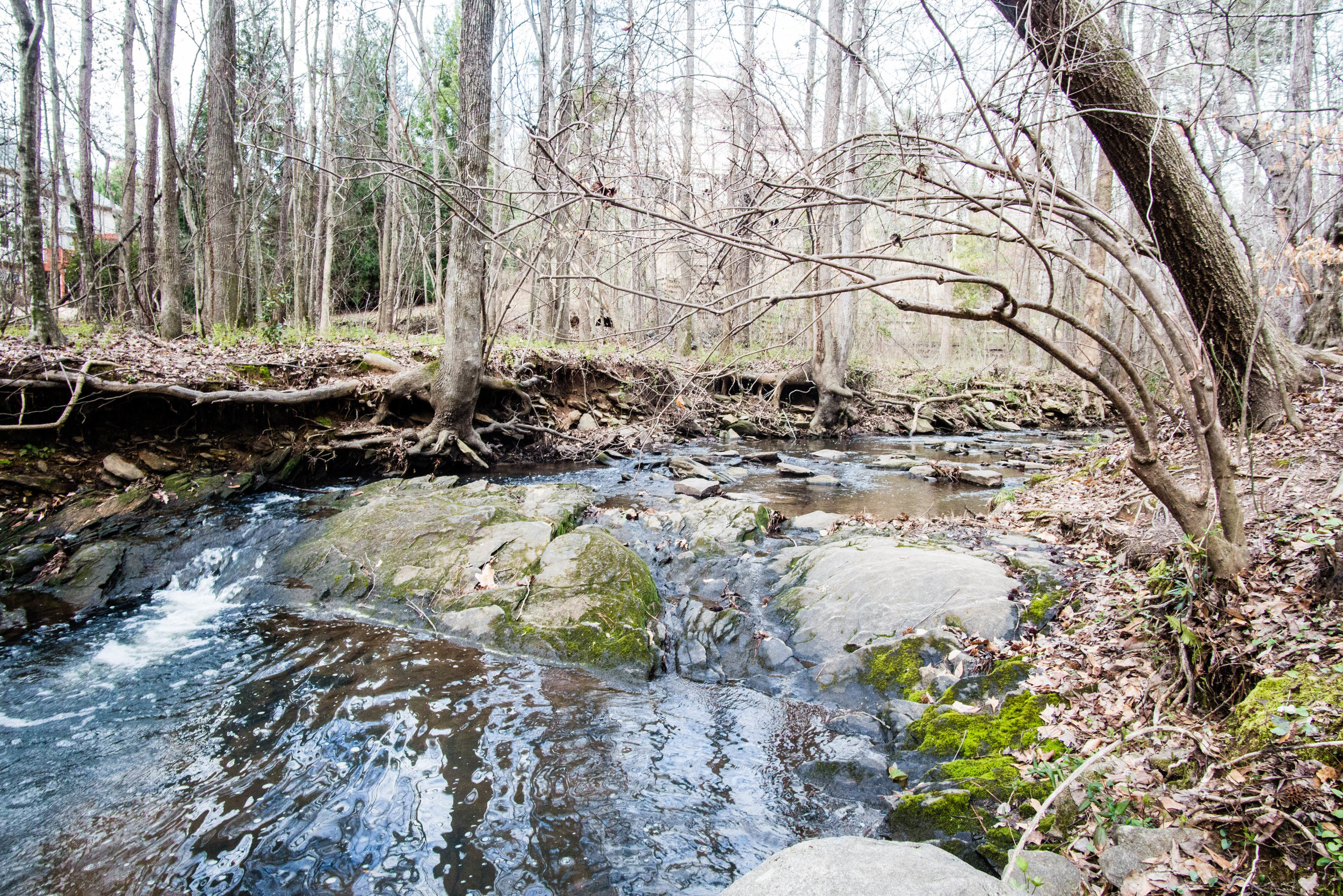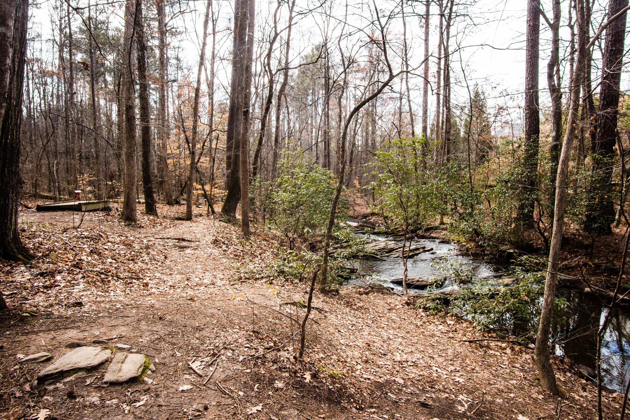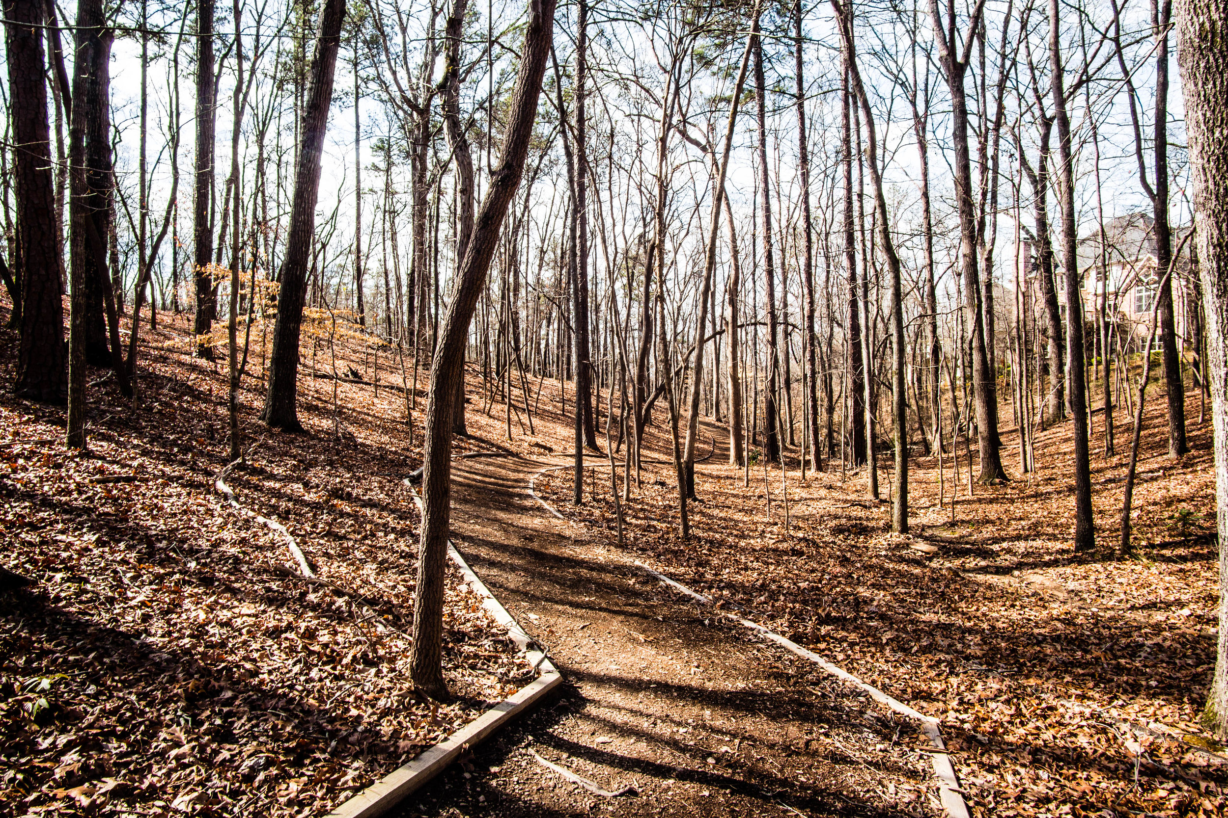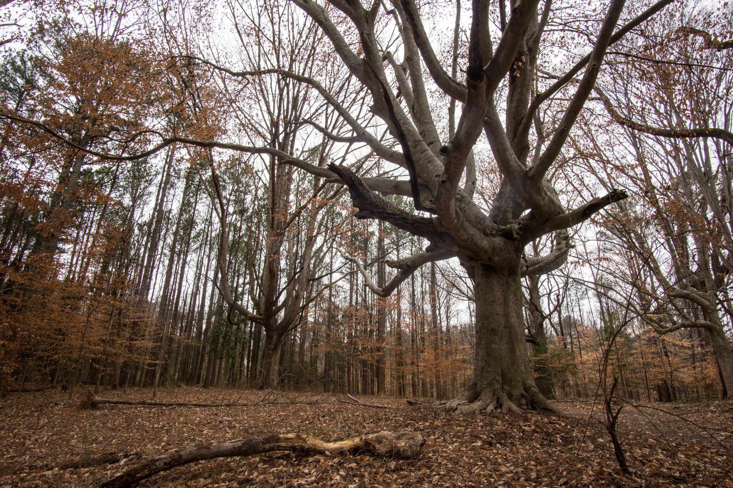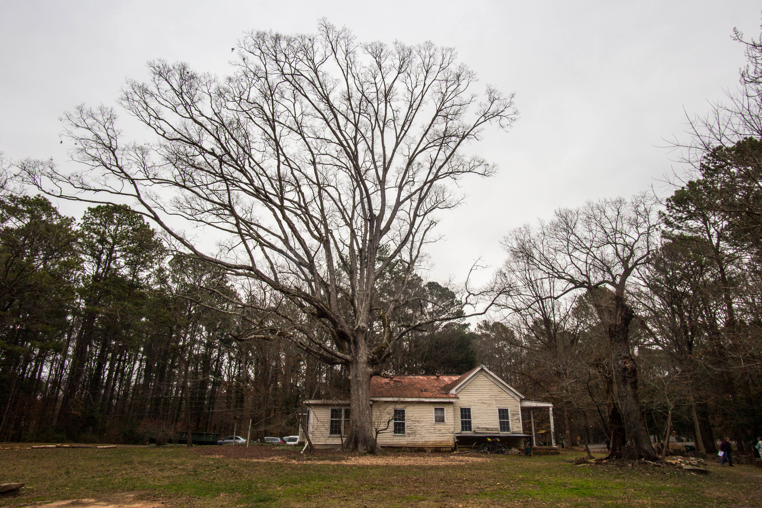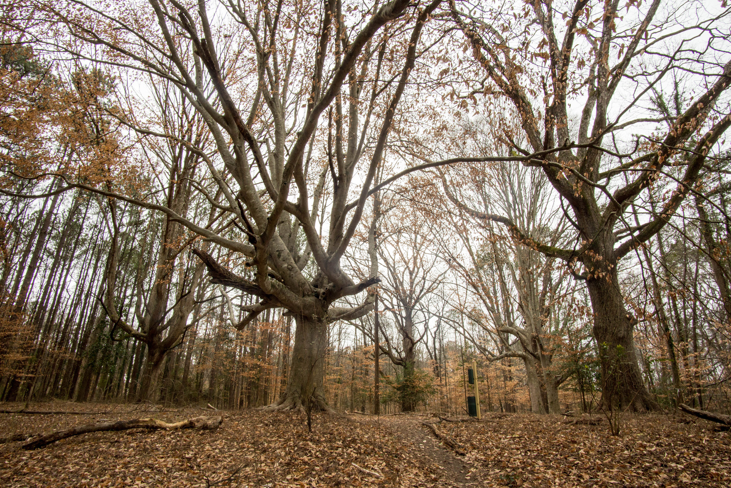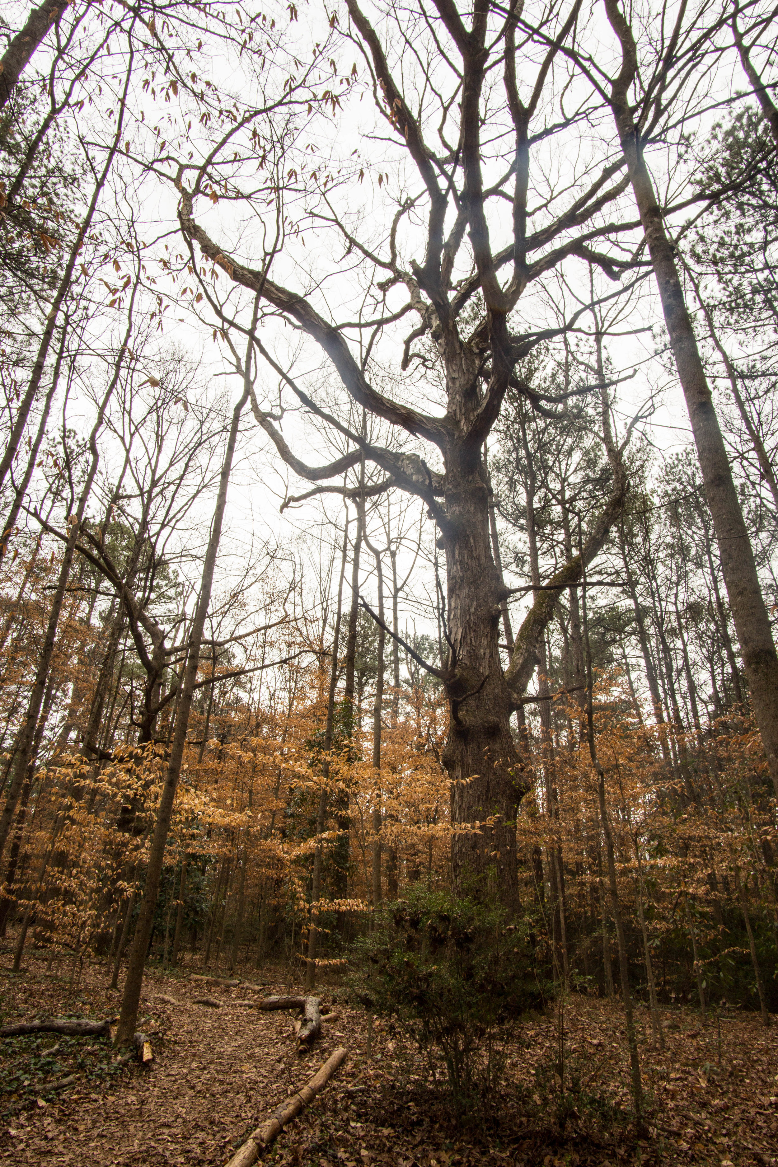
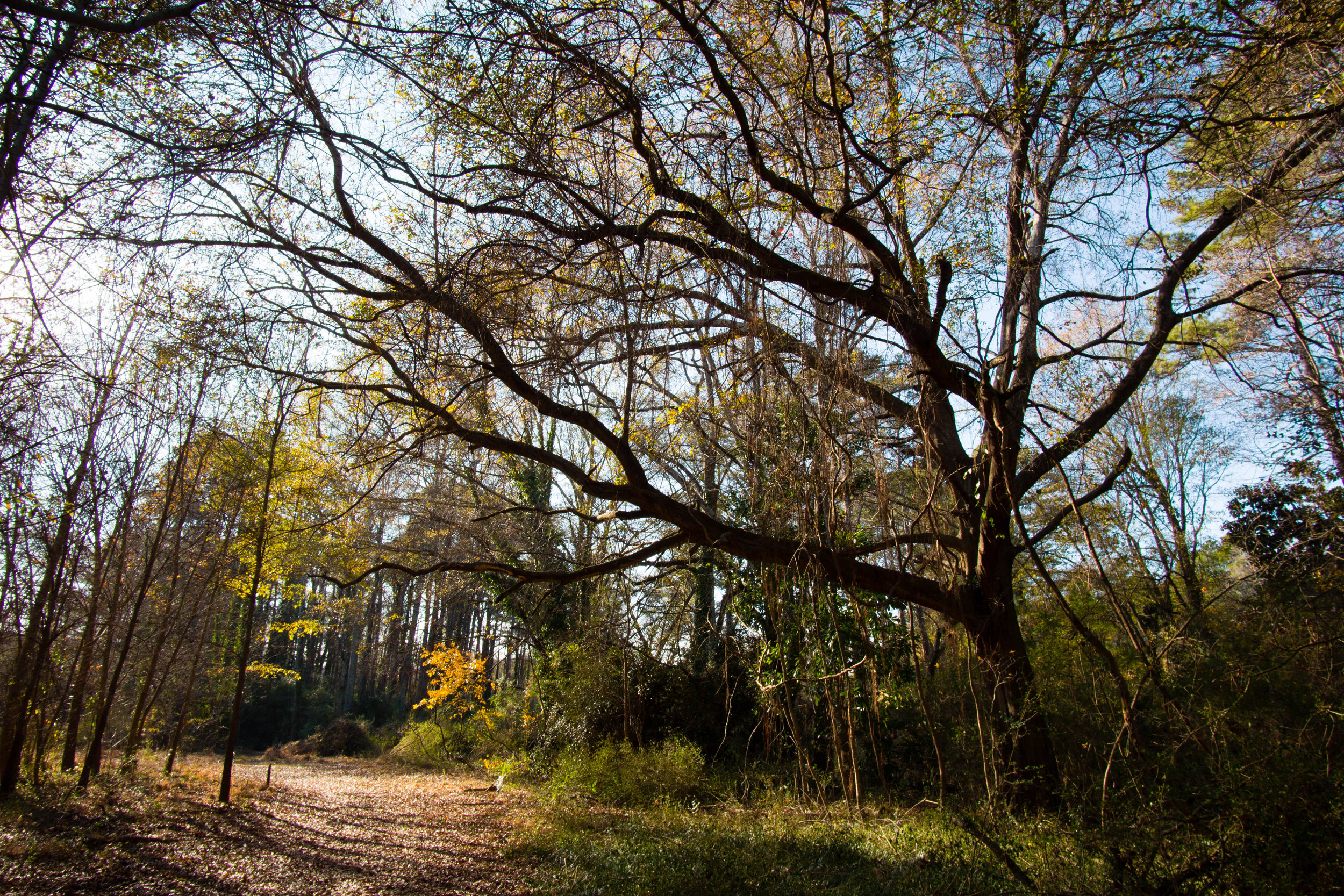
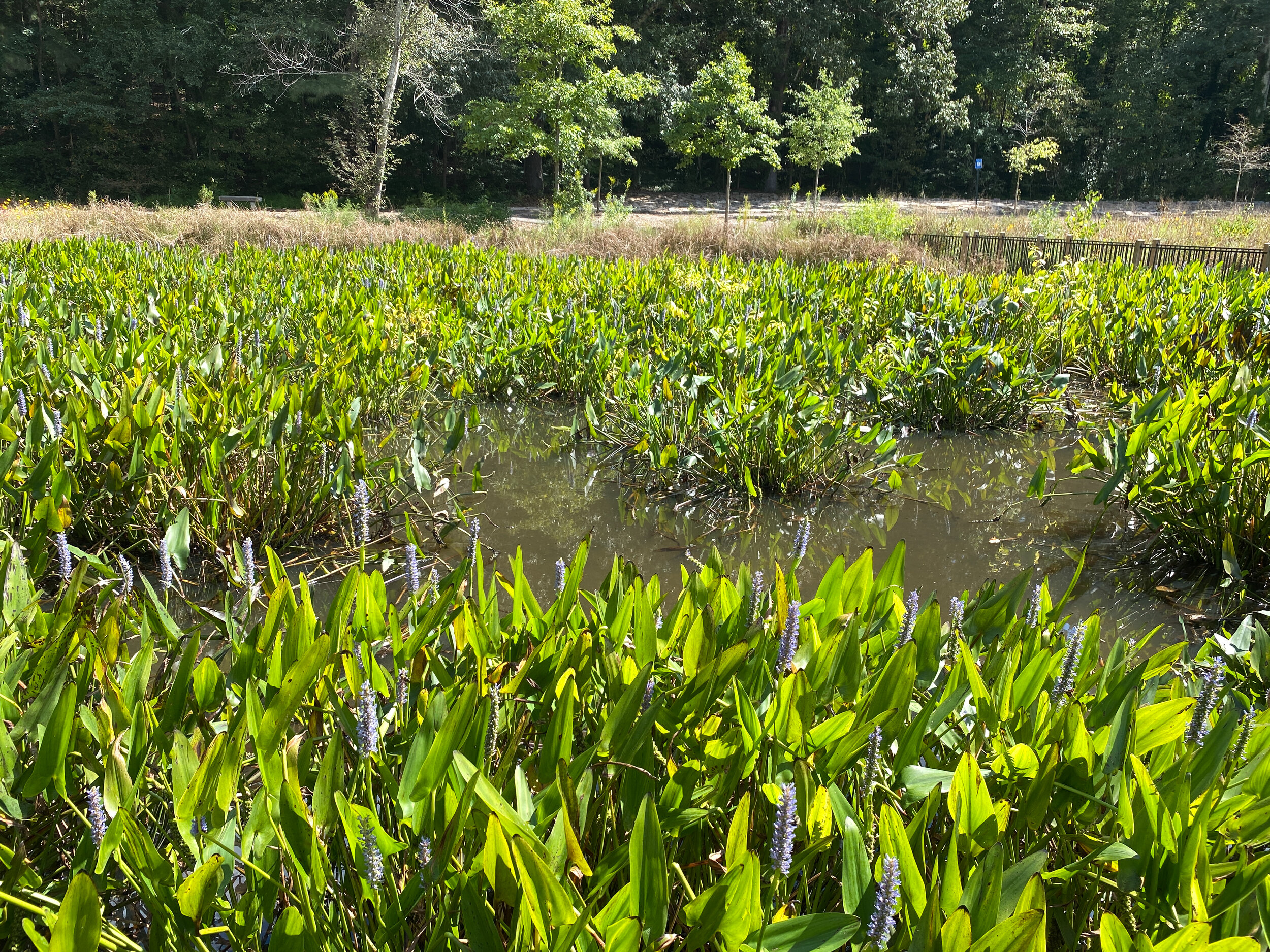
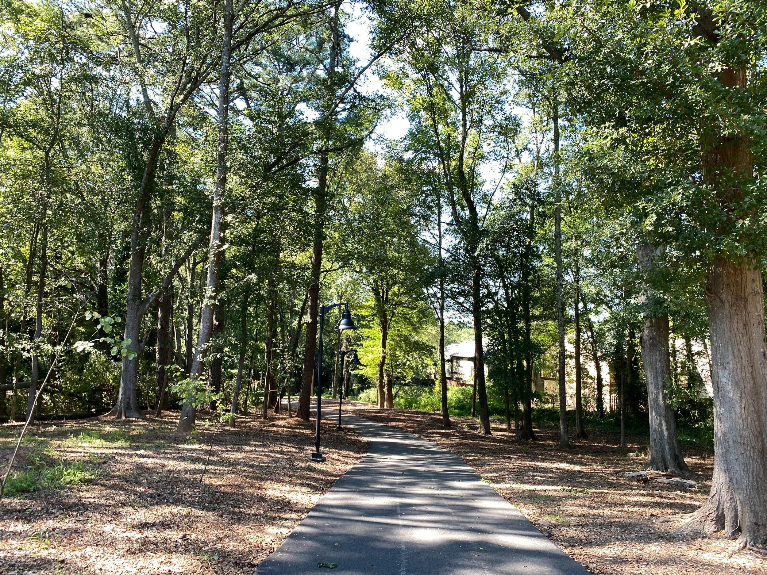
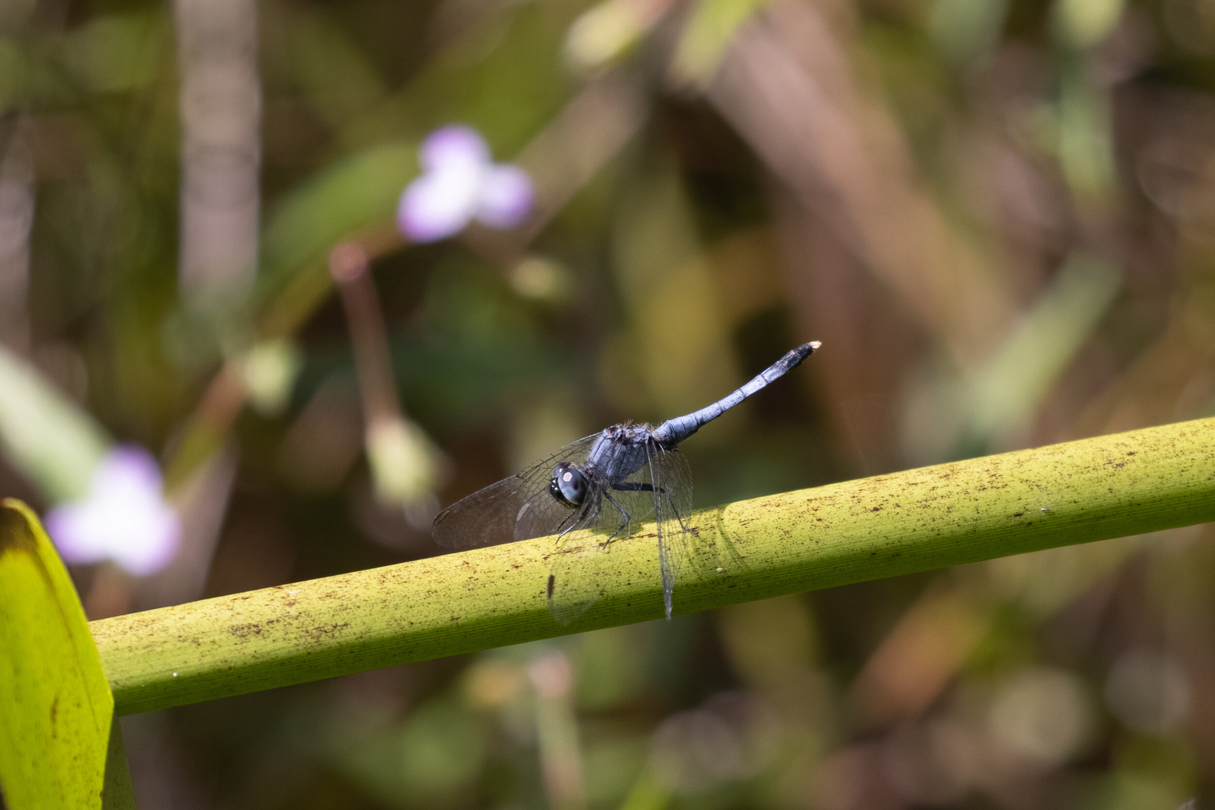
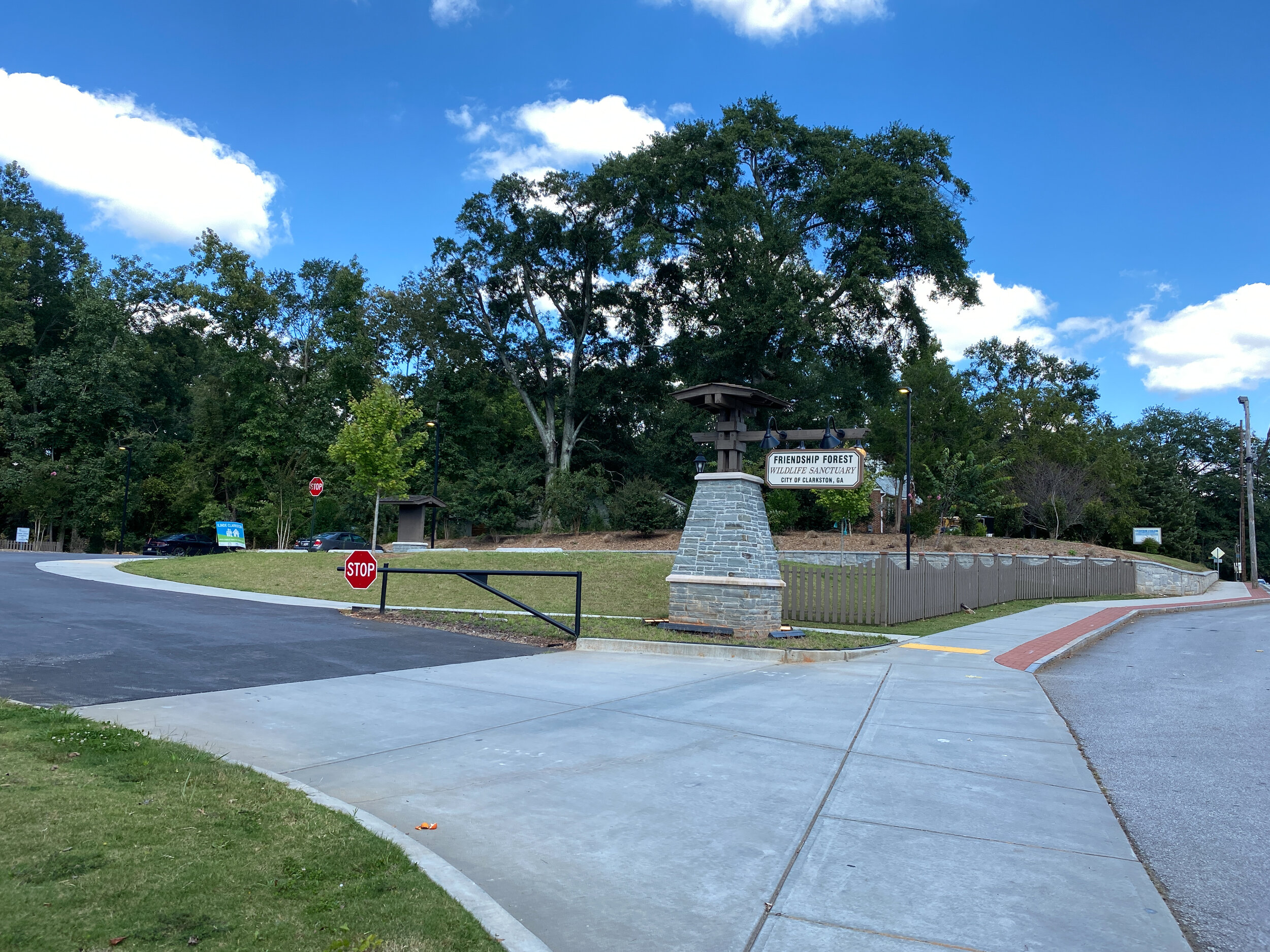
Friendship Forest Wildlife Sanctuary
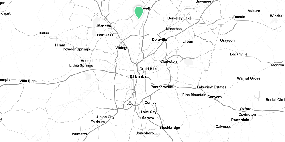
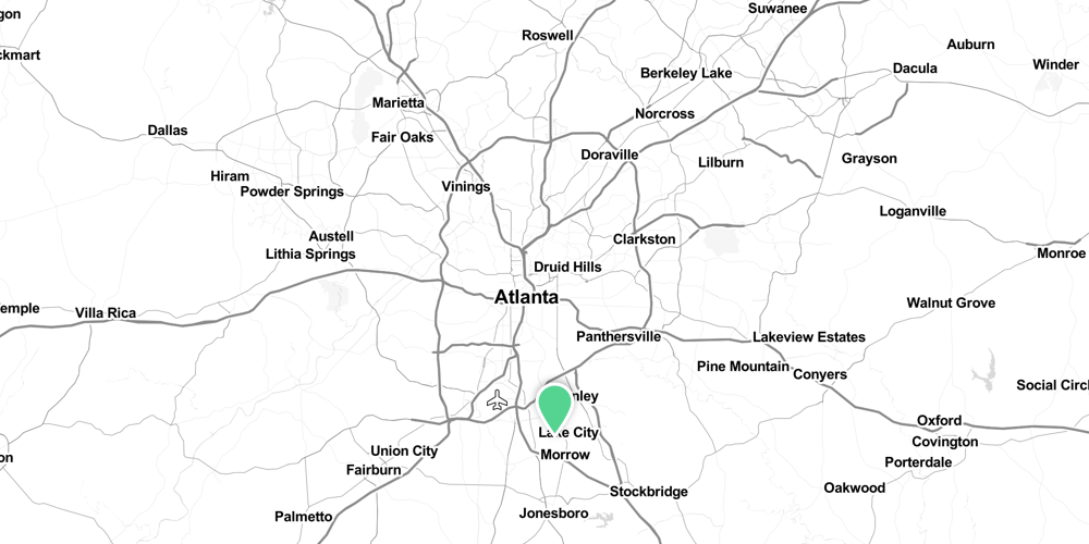
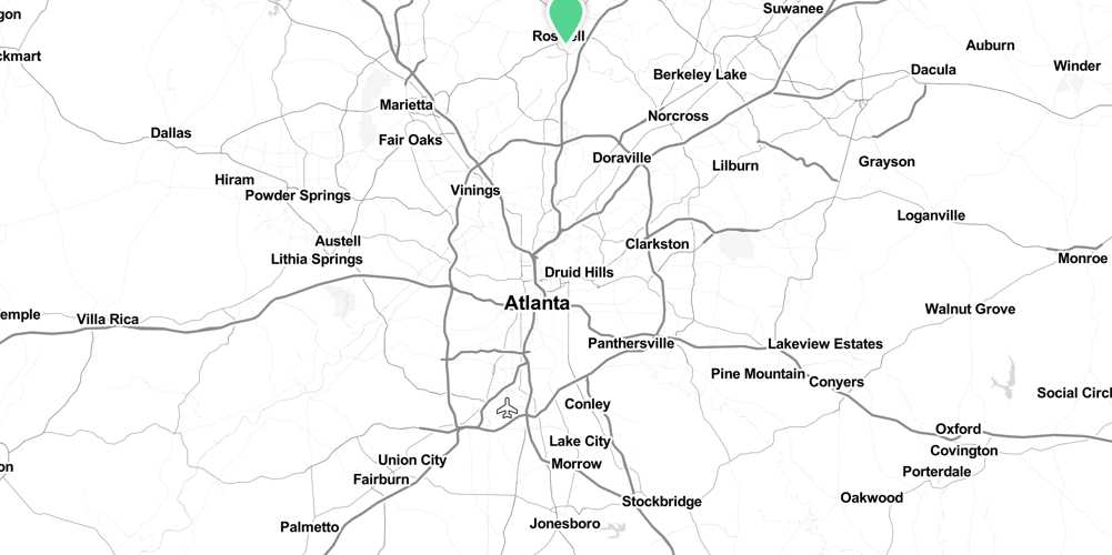
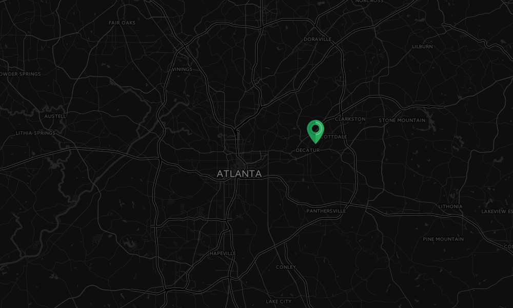
Address: 4380 E Ponce de Leon Ave, Clarkston, GA 30021
Cost of admission: Free
Governance: City of Clarkston
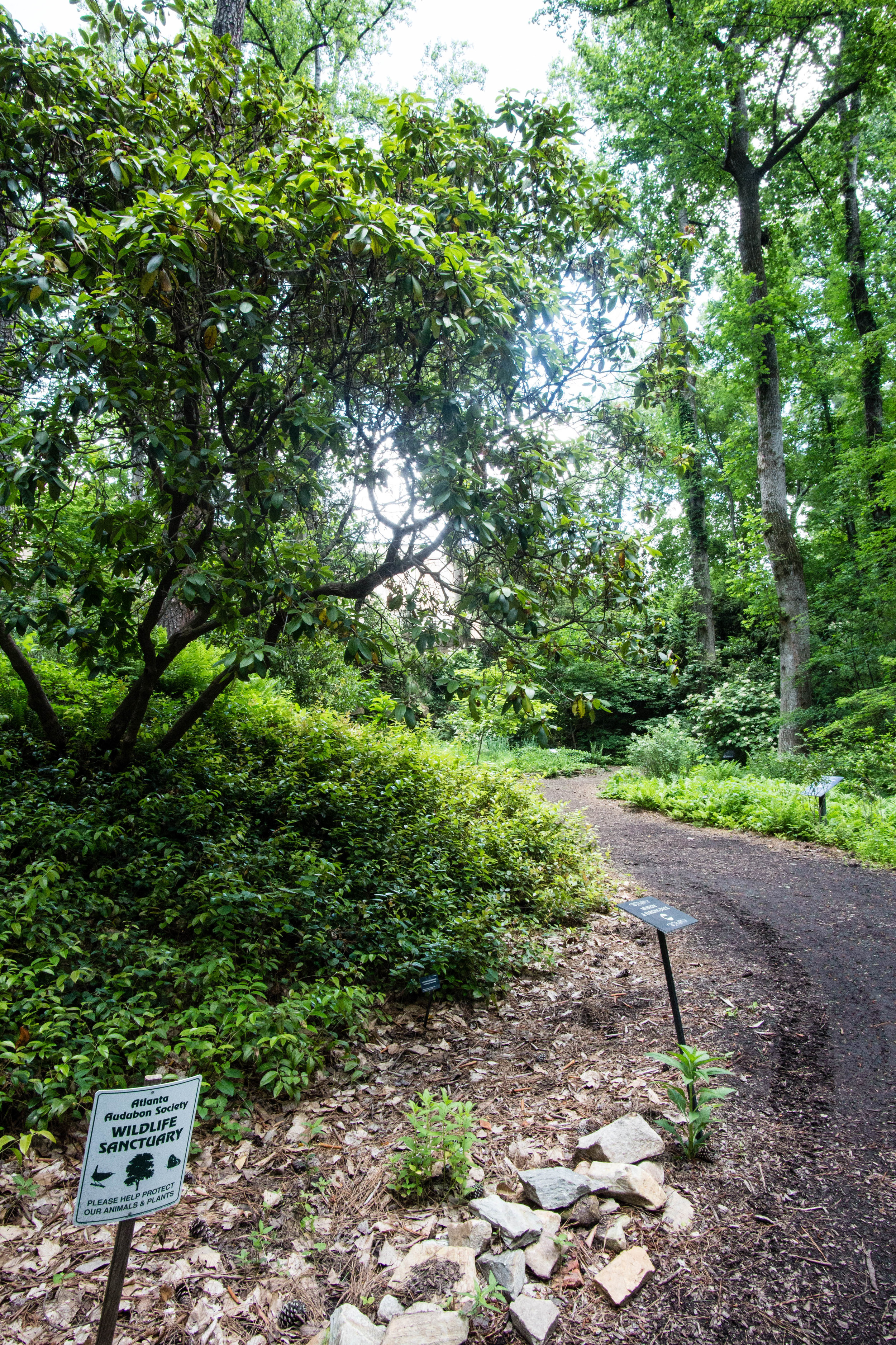
Friends of the Park Group: Friends of Friendship Forest
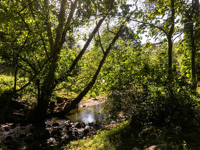
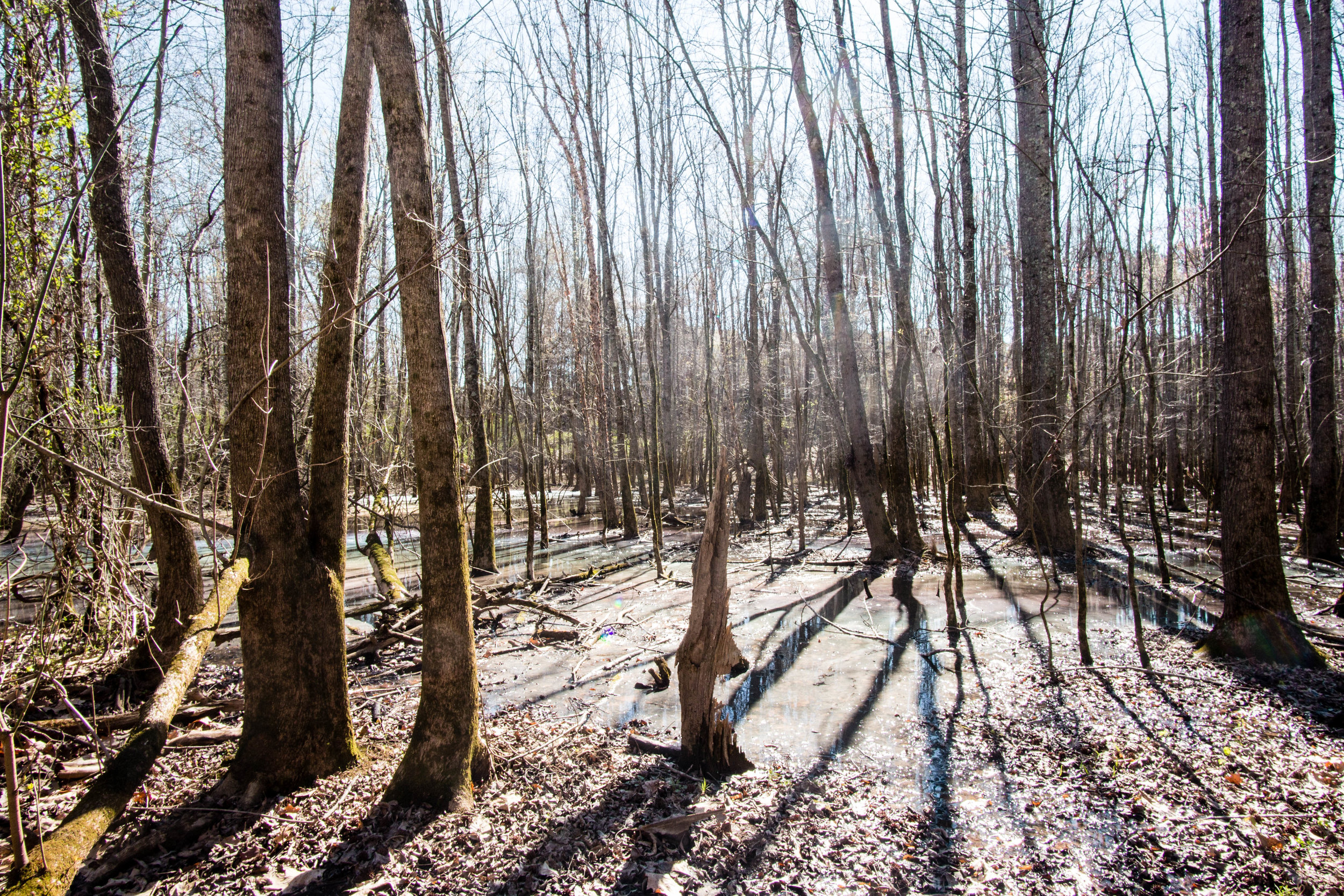
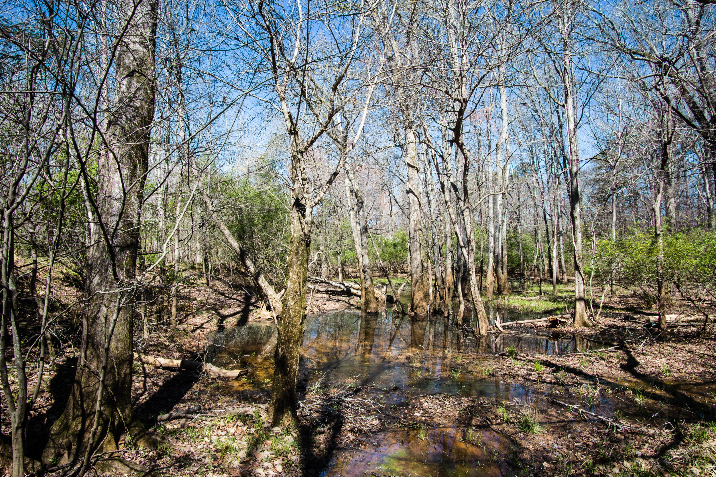
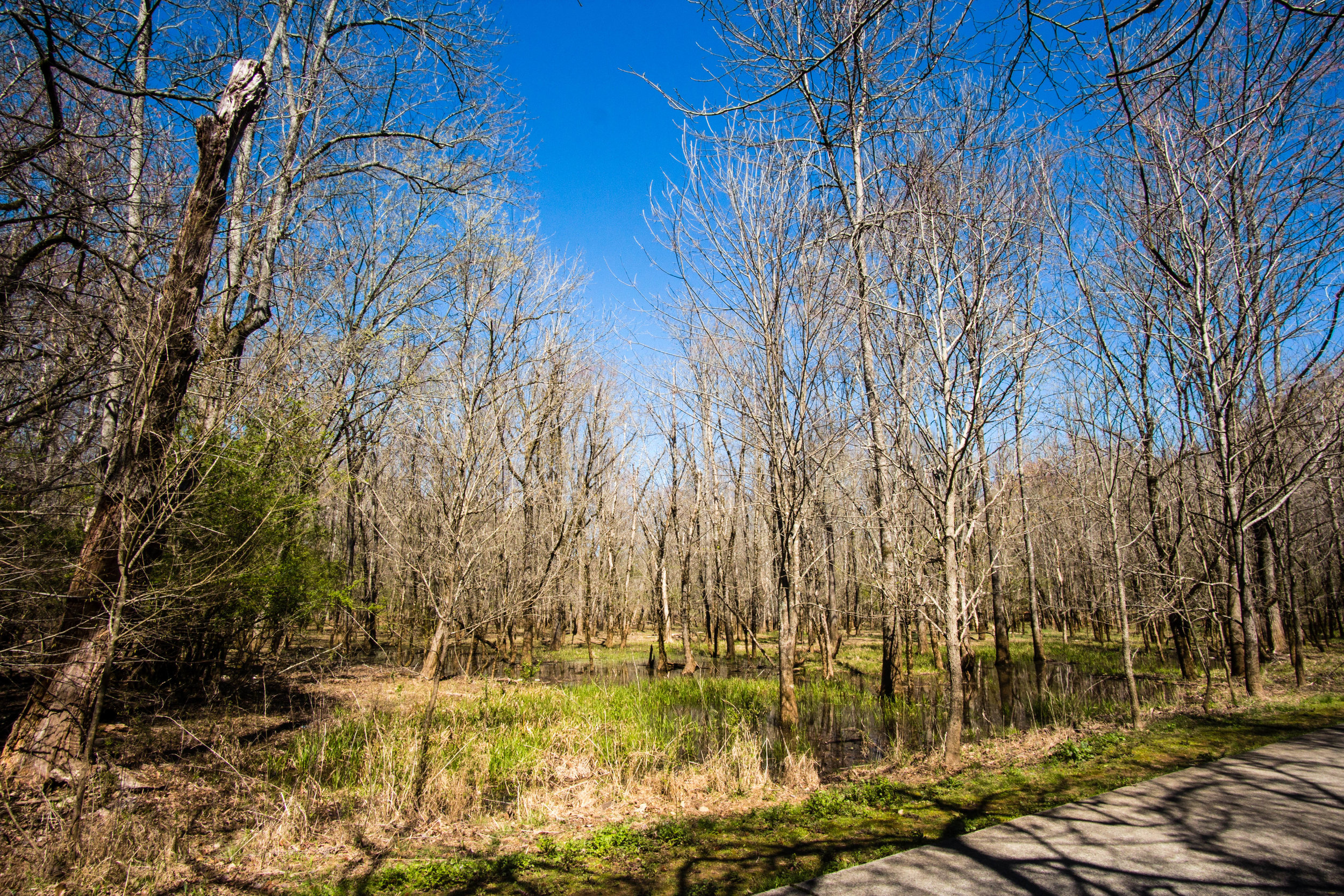
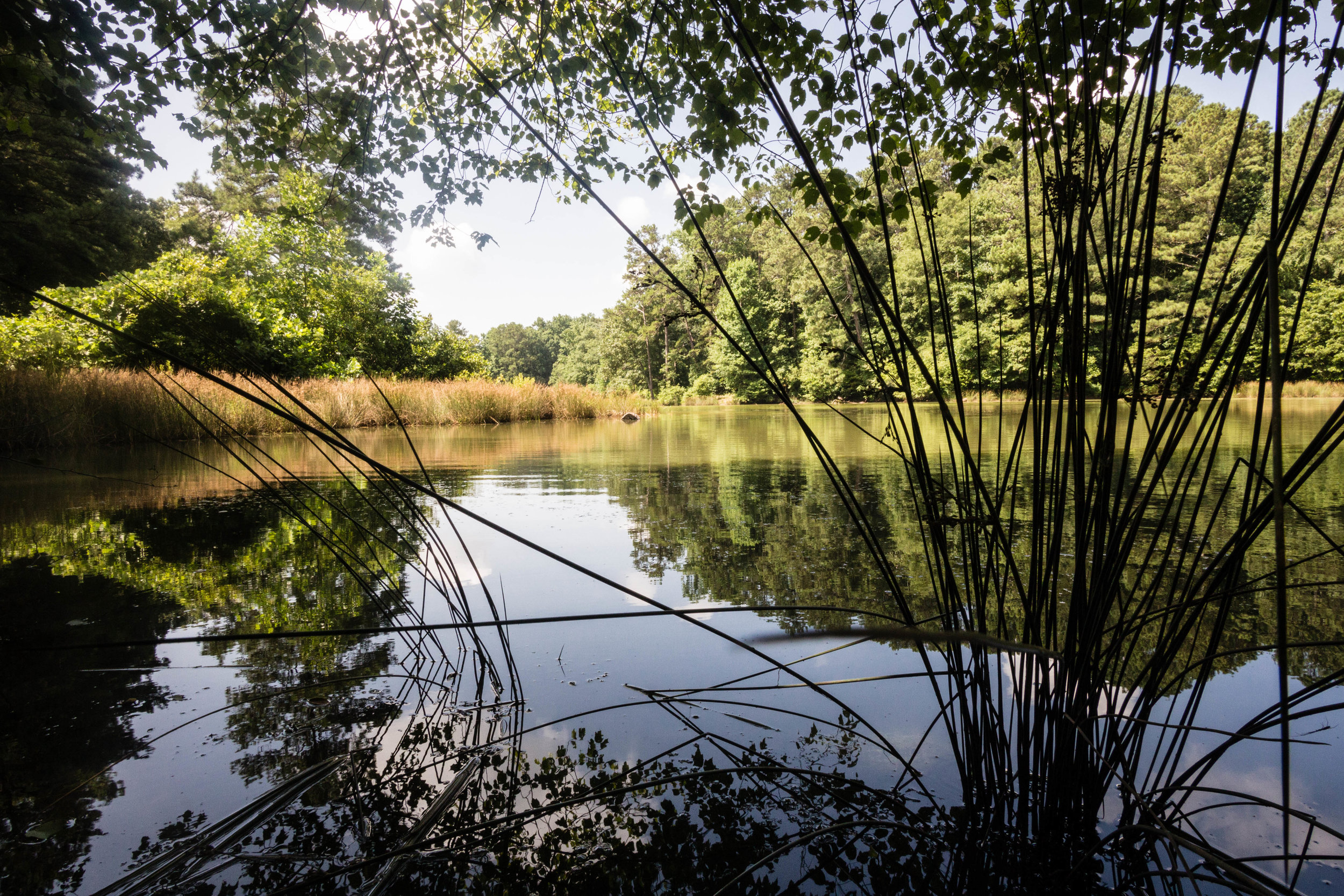
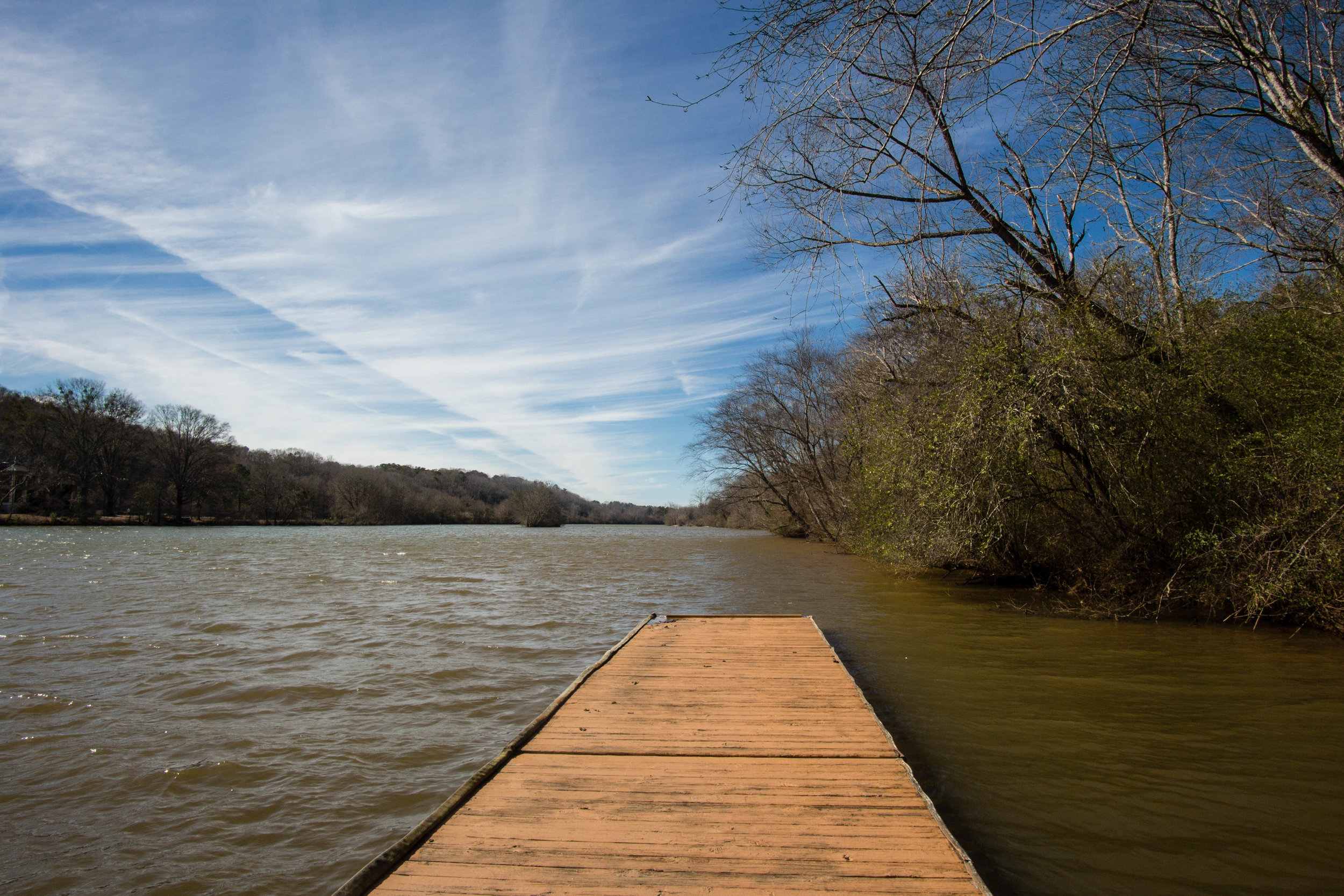
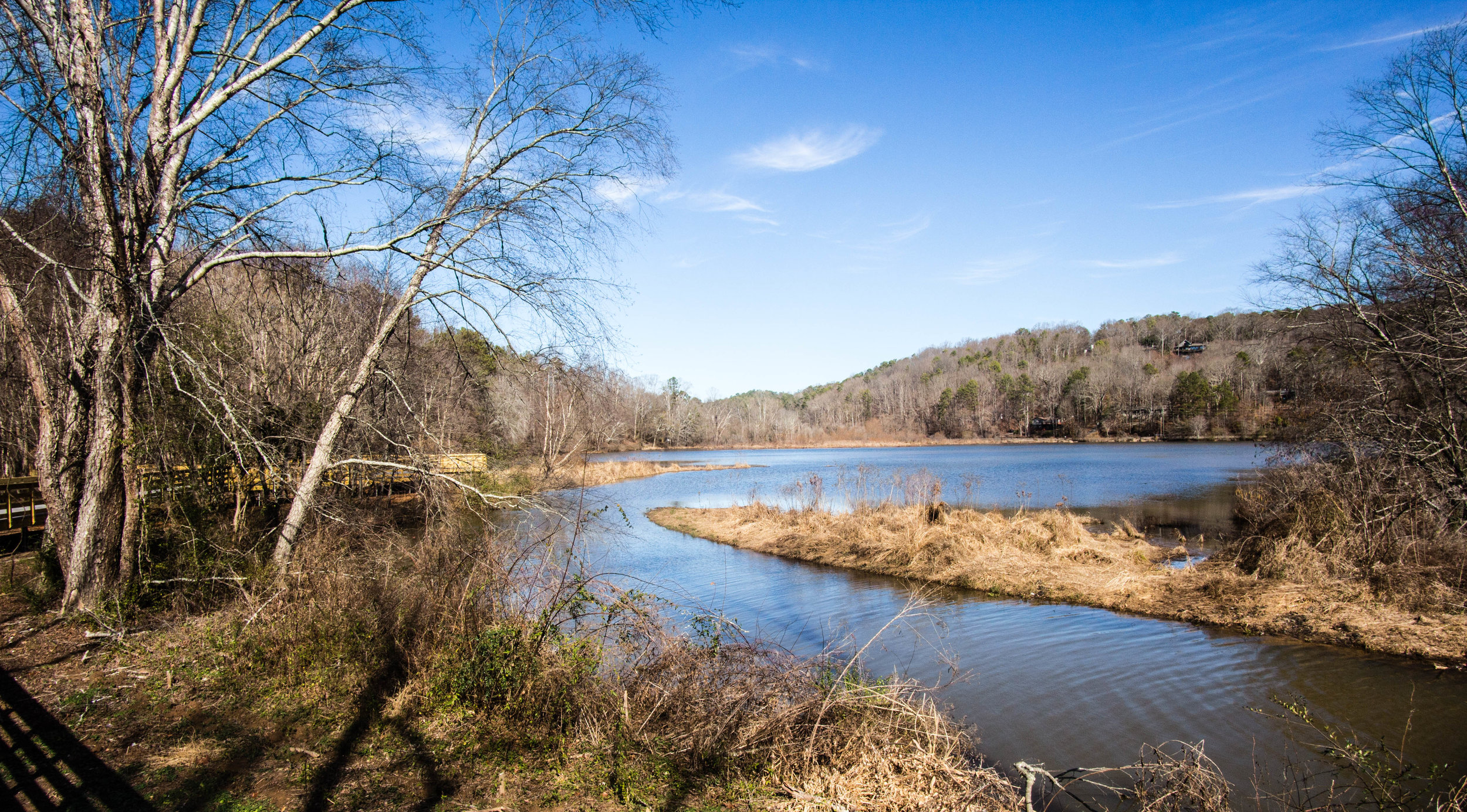
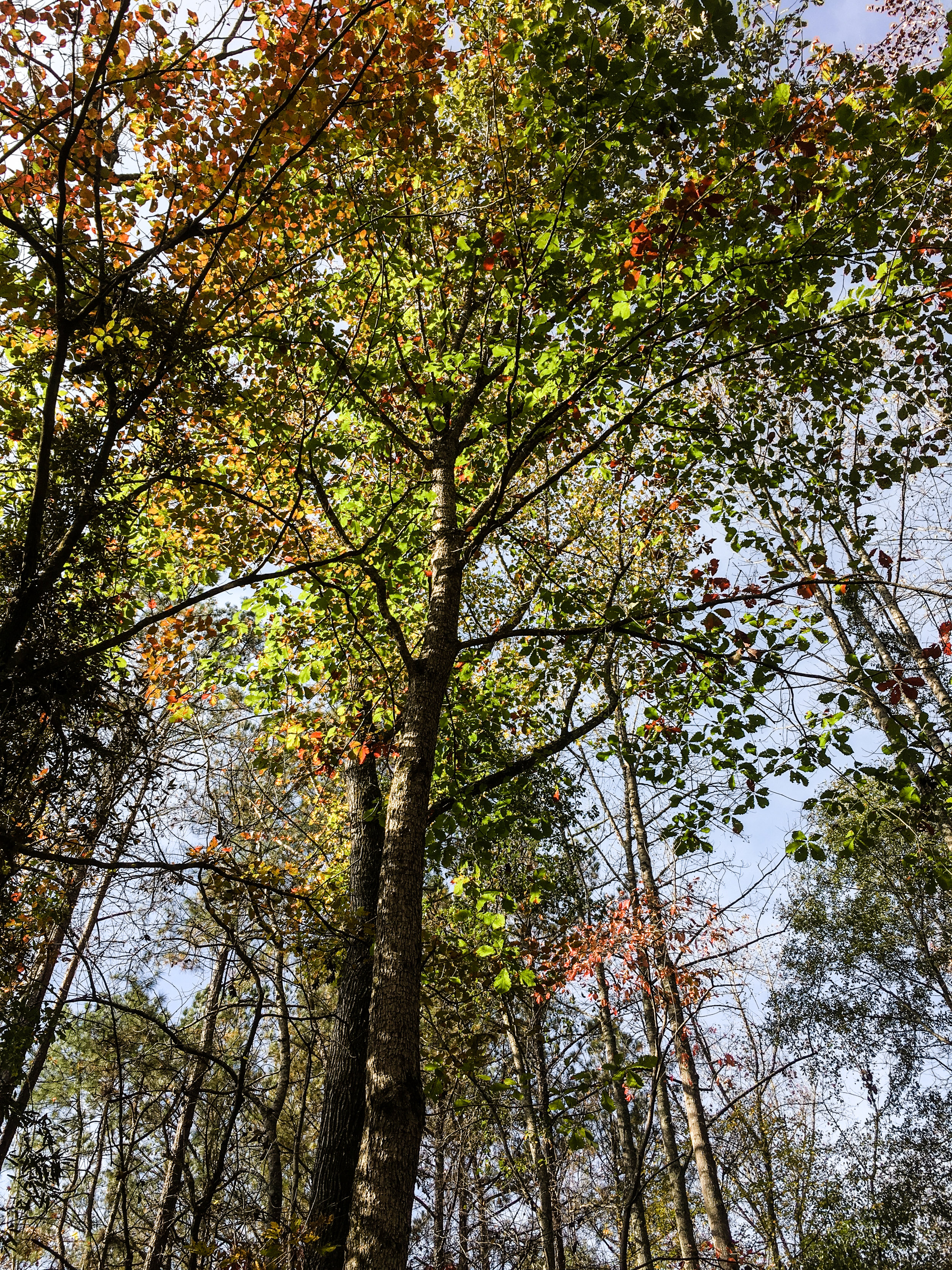
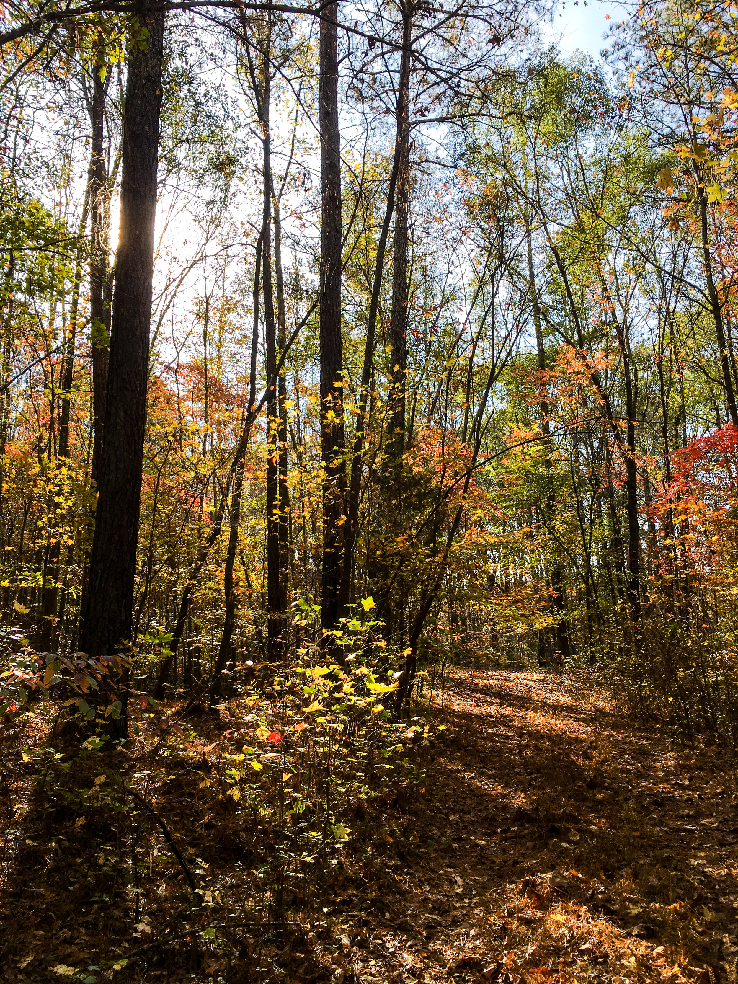
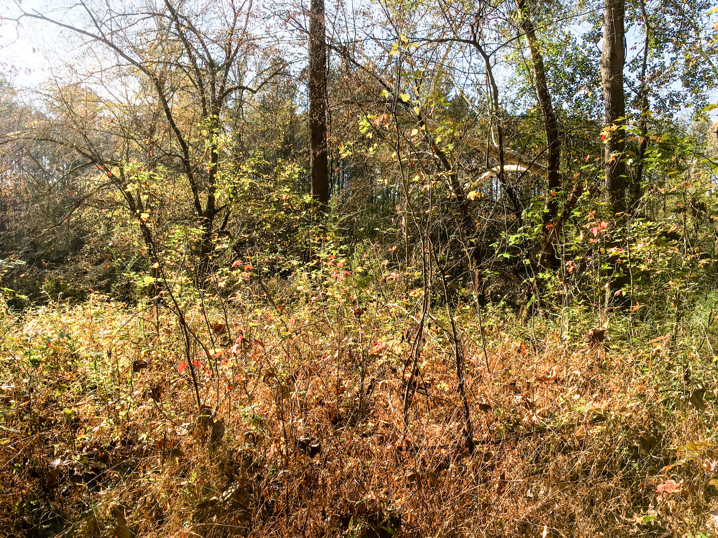
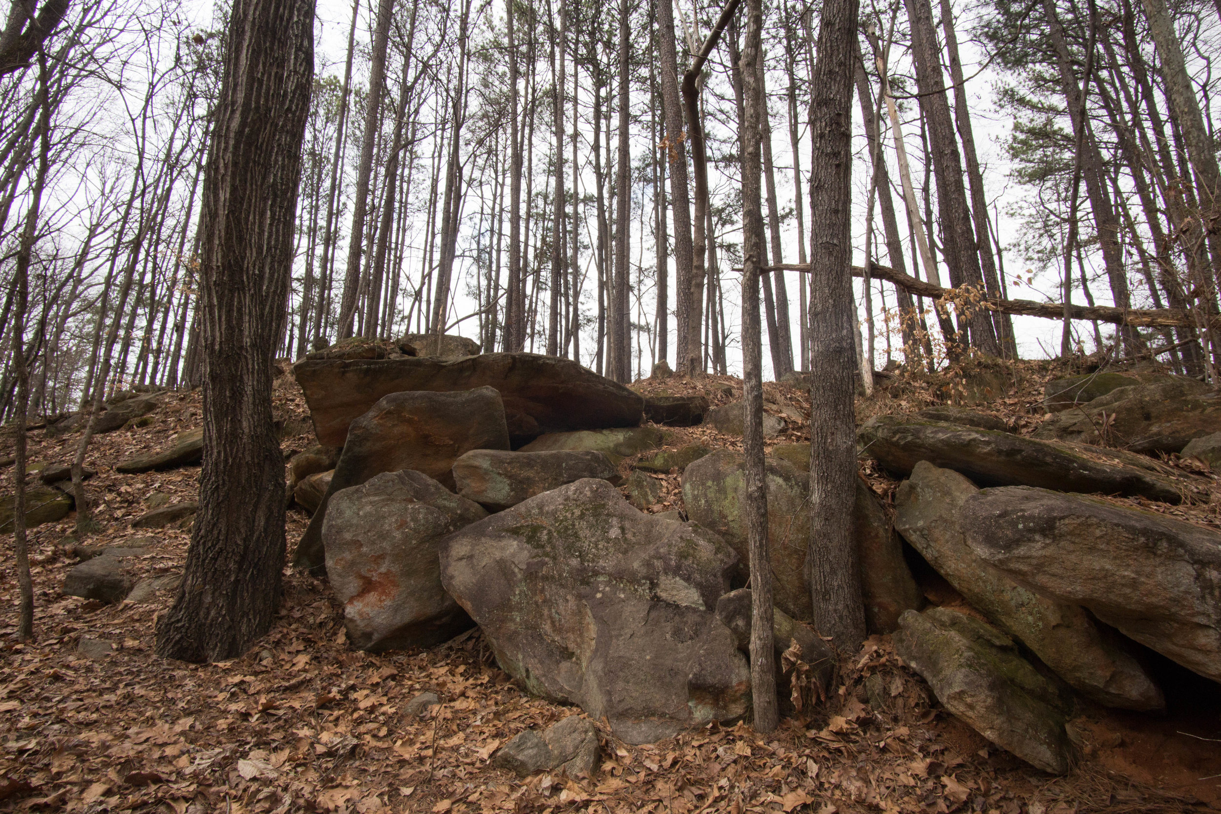
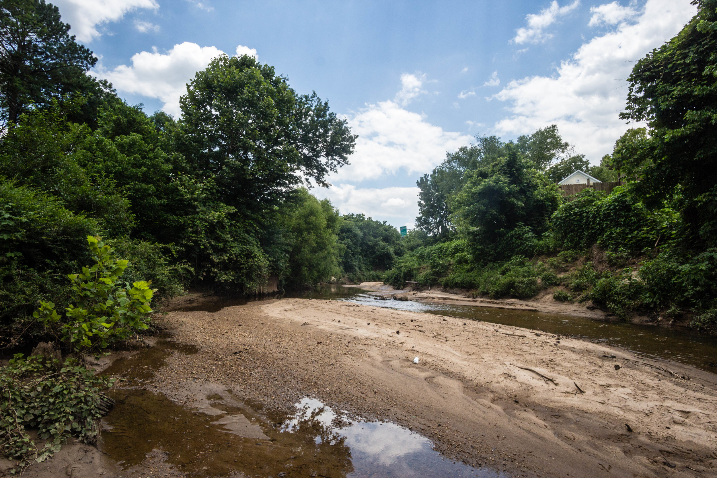
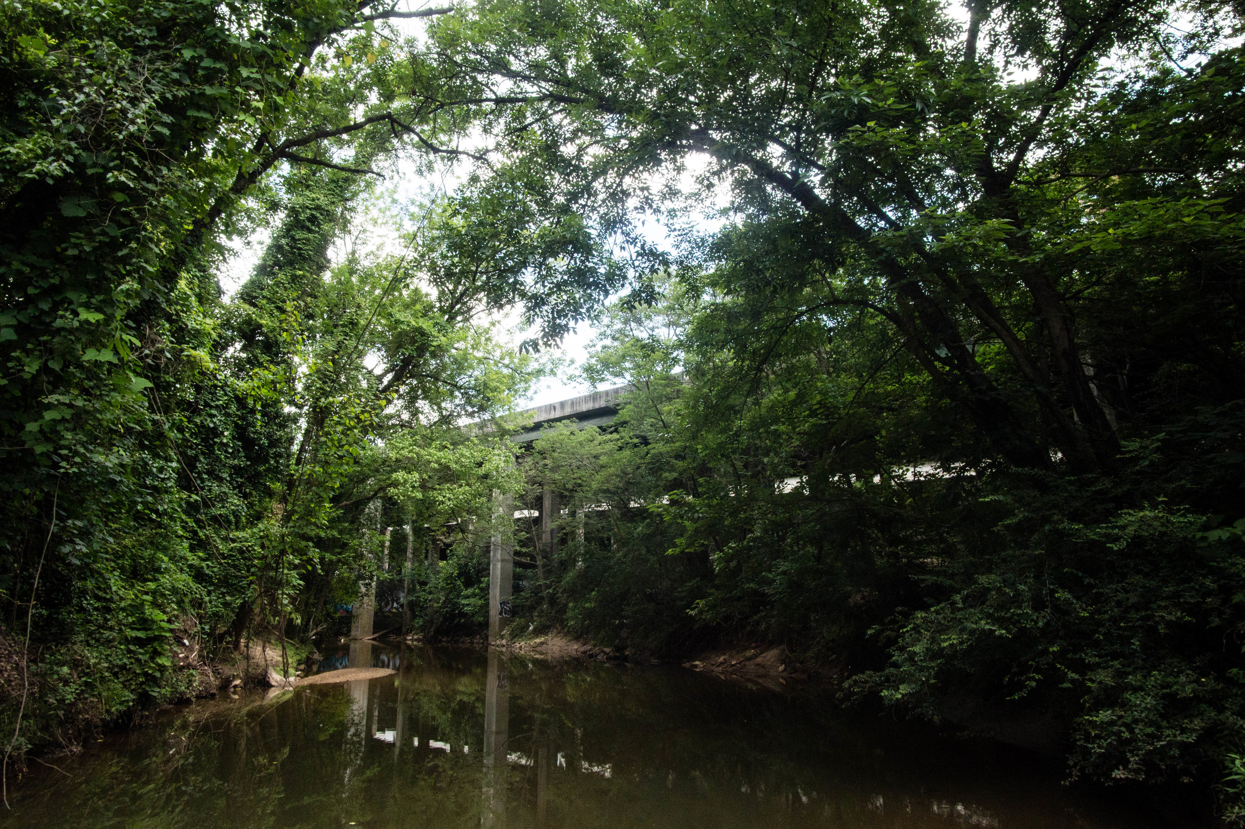
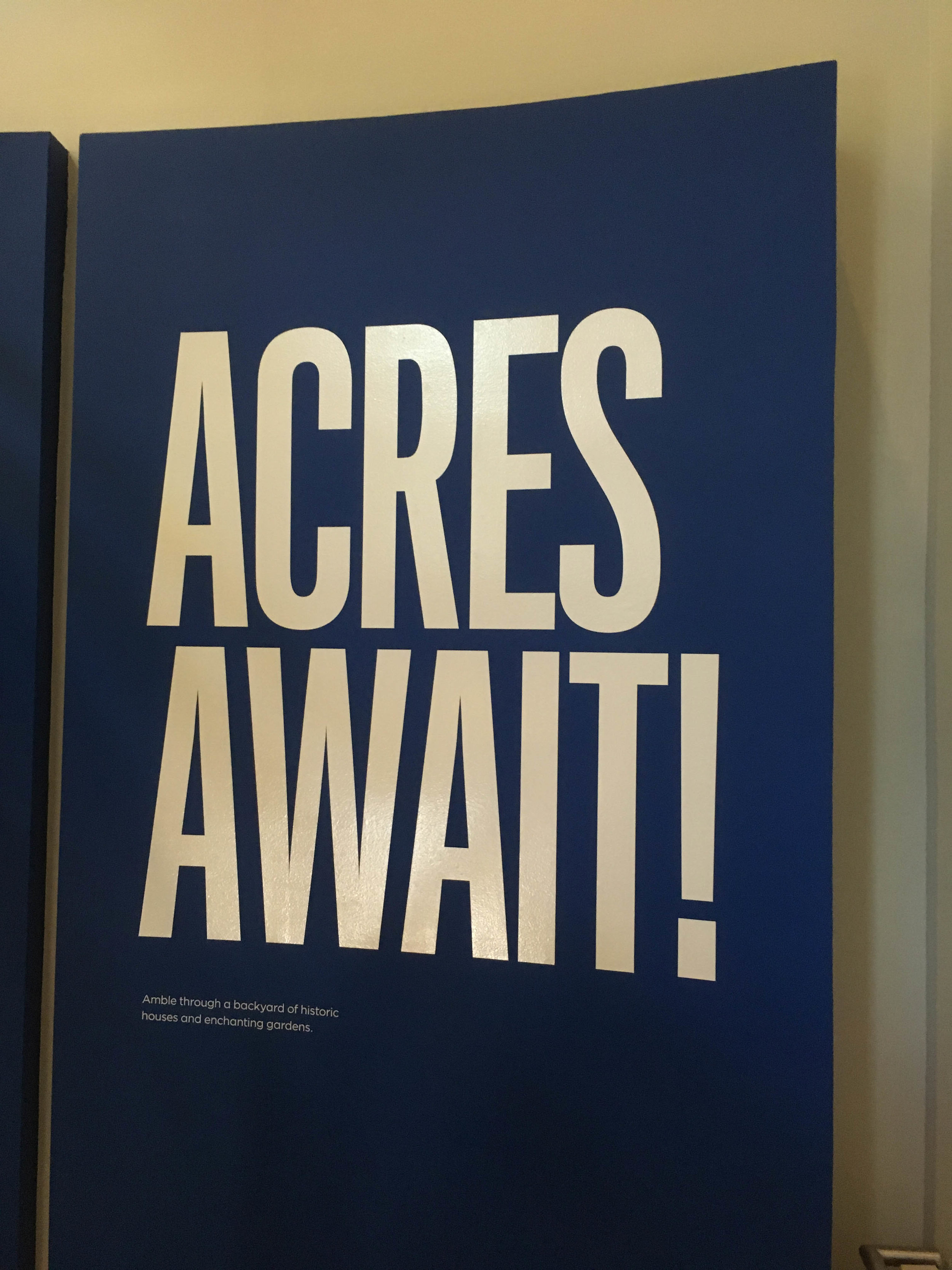
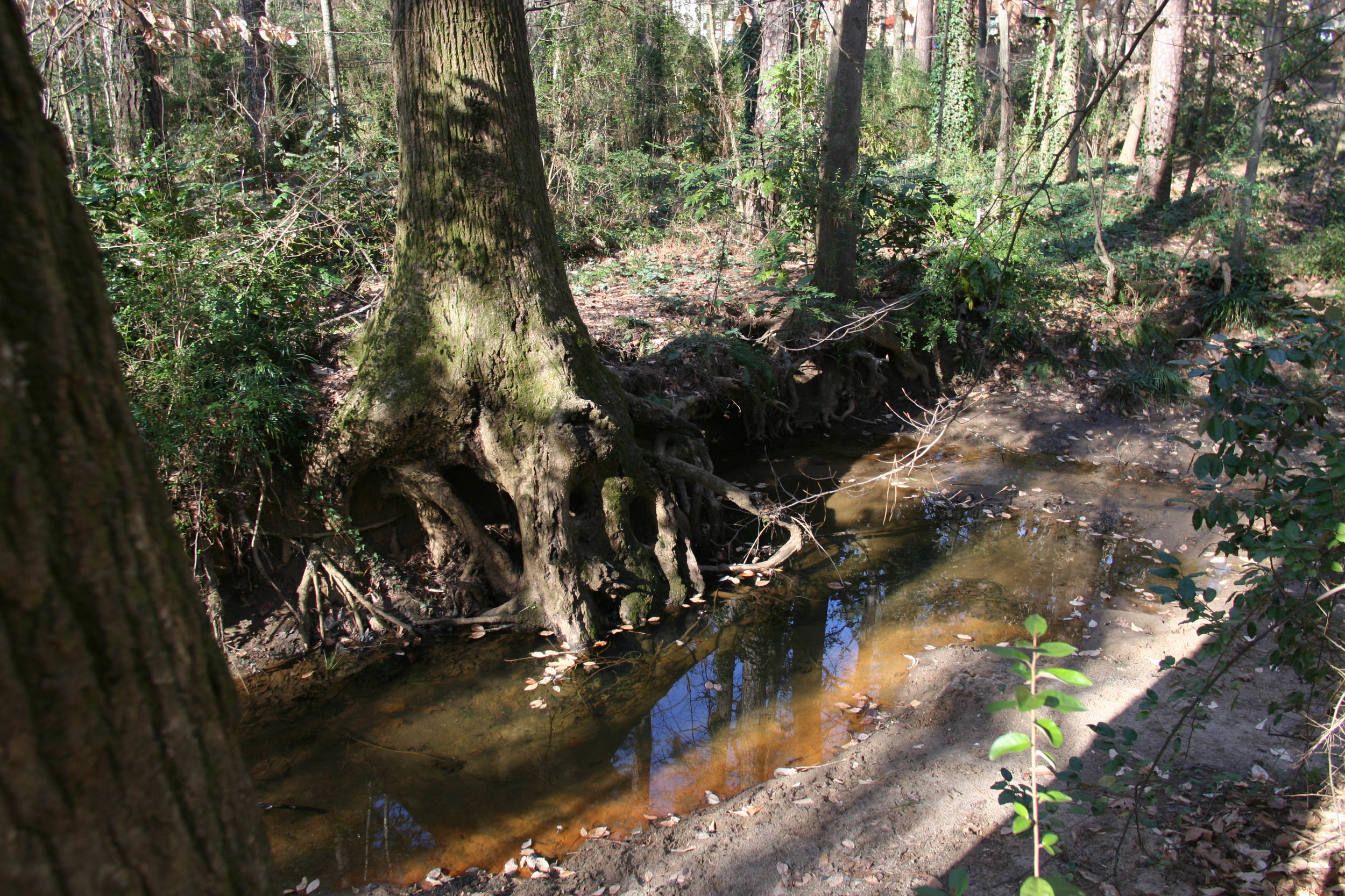
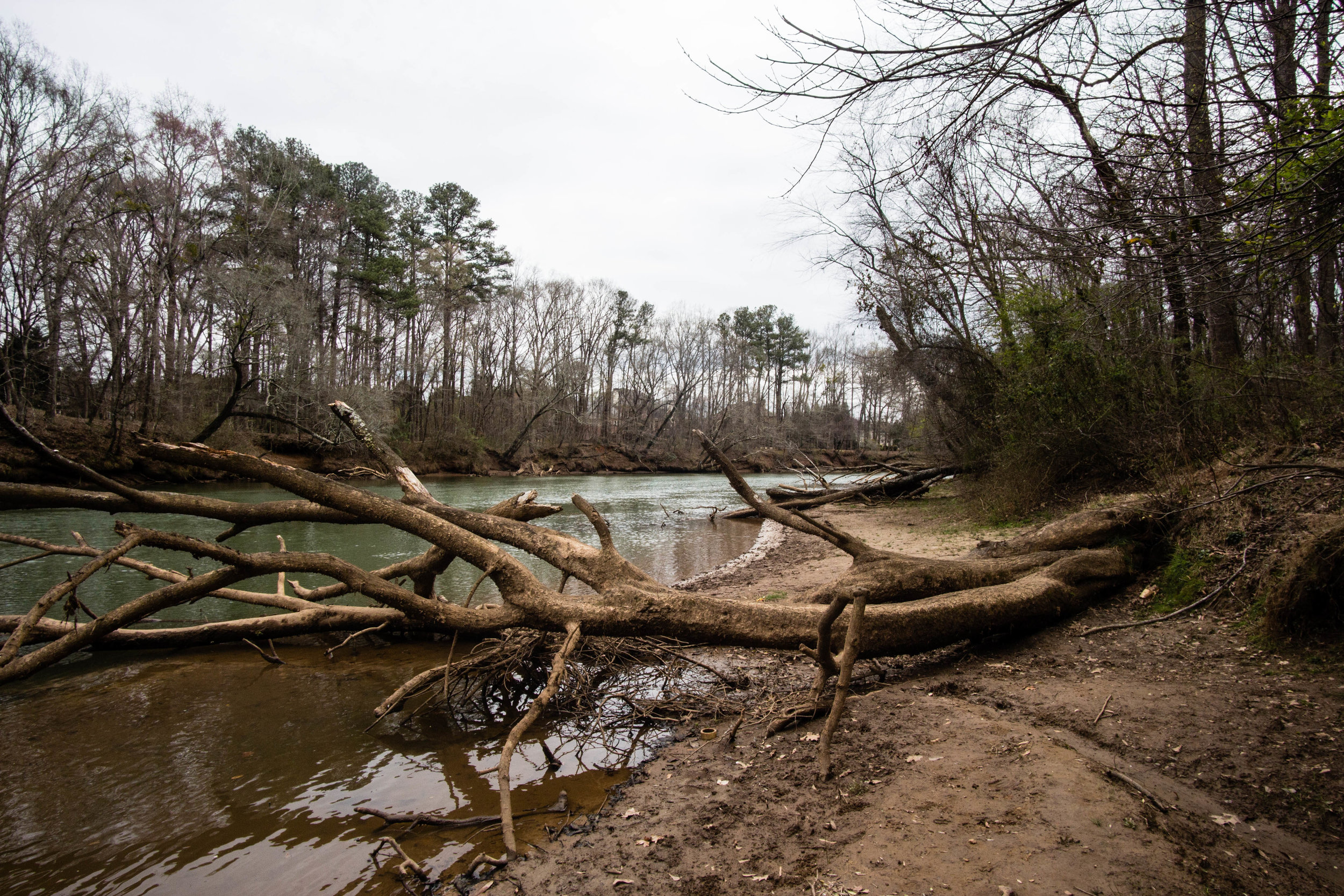
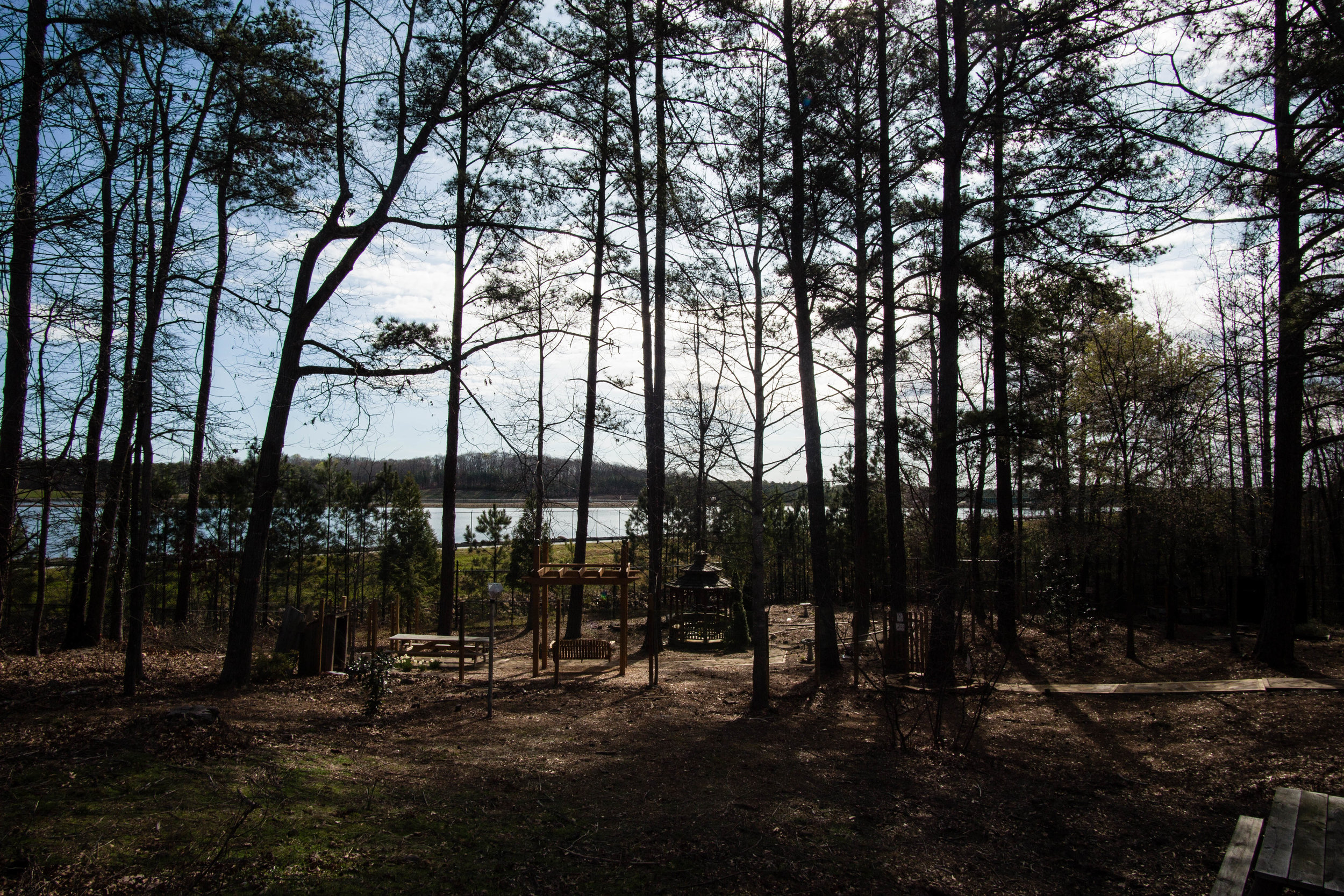
Acres: 18.5
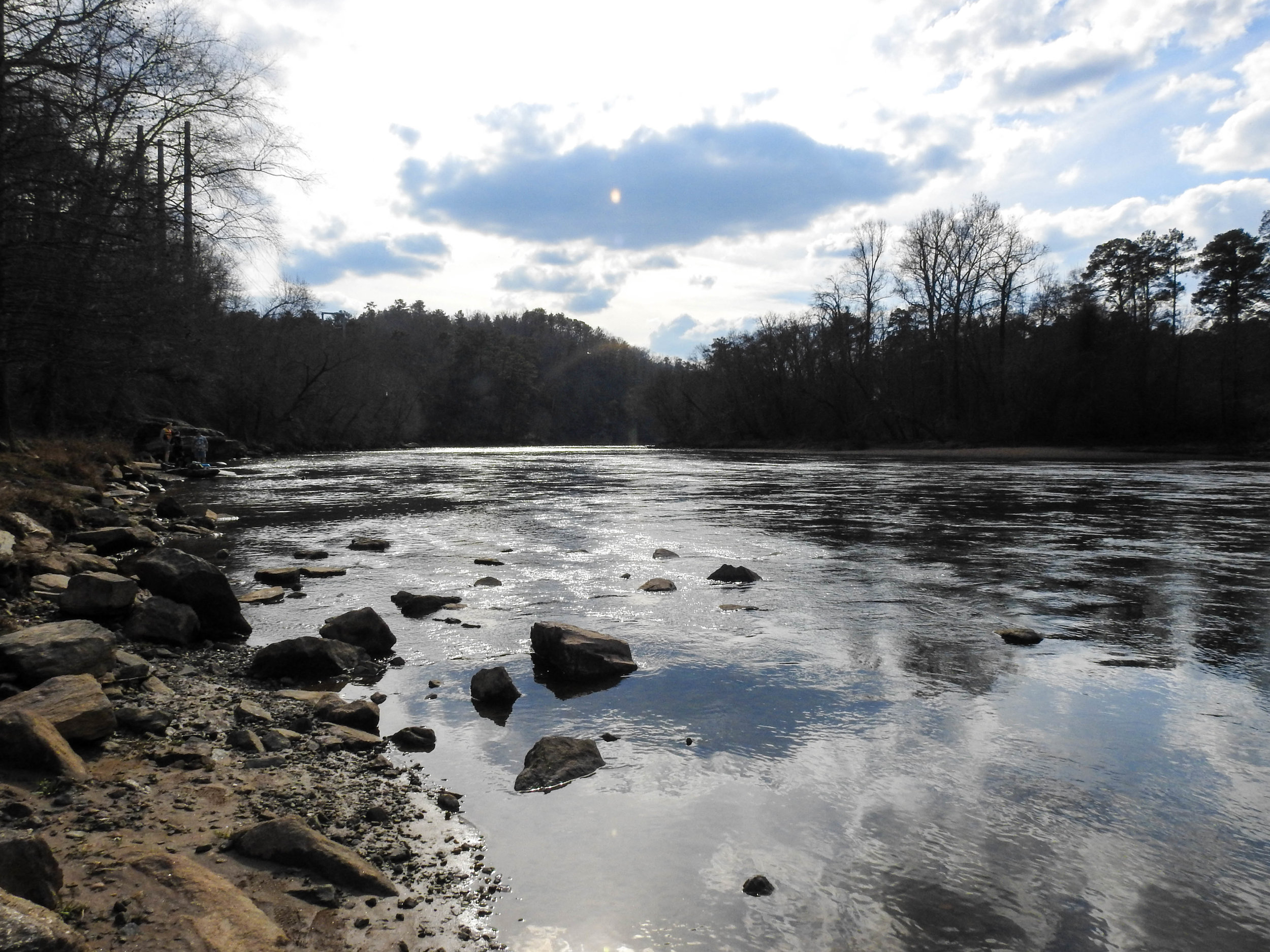
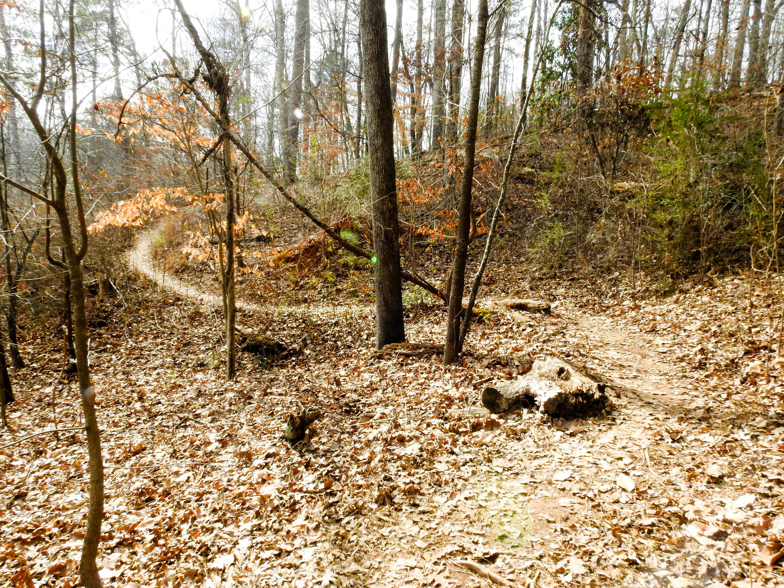
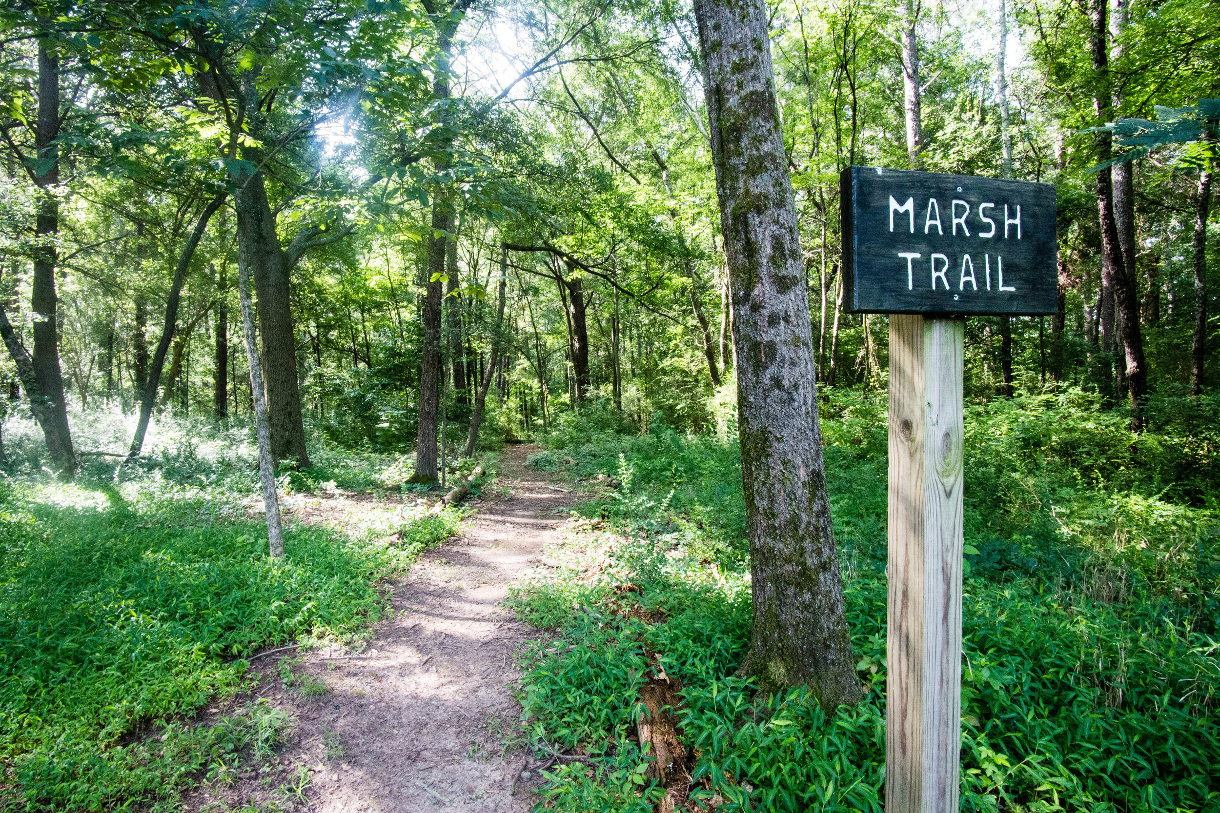
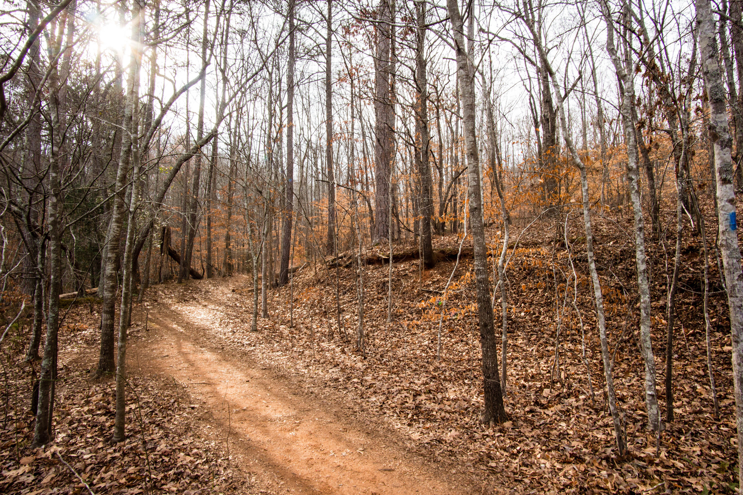
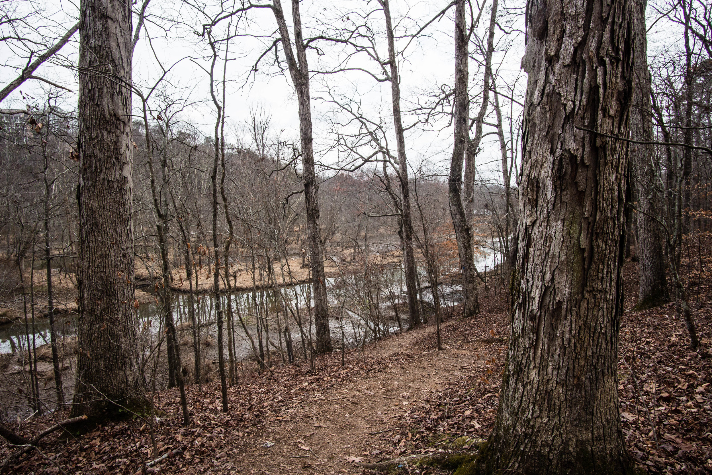
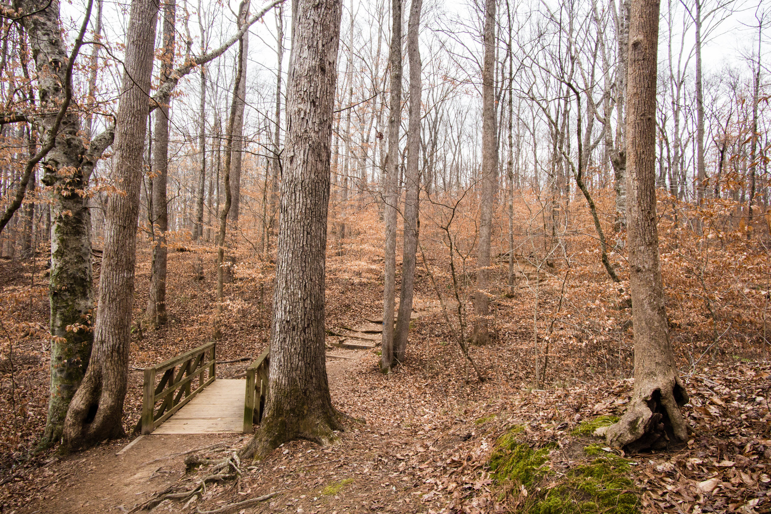
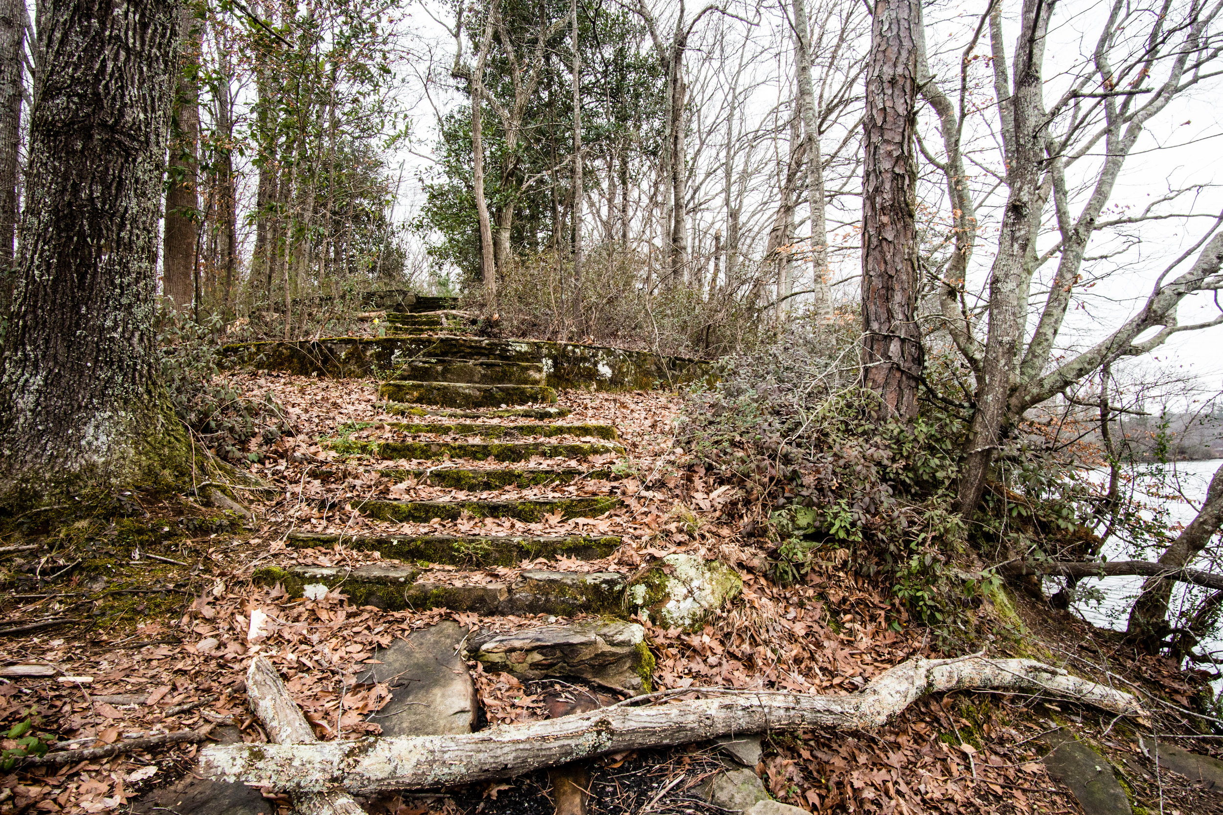
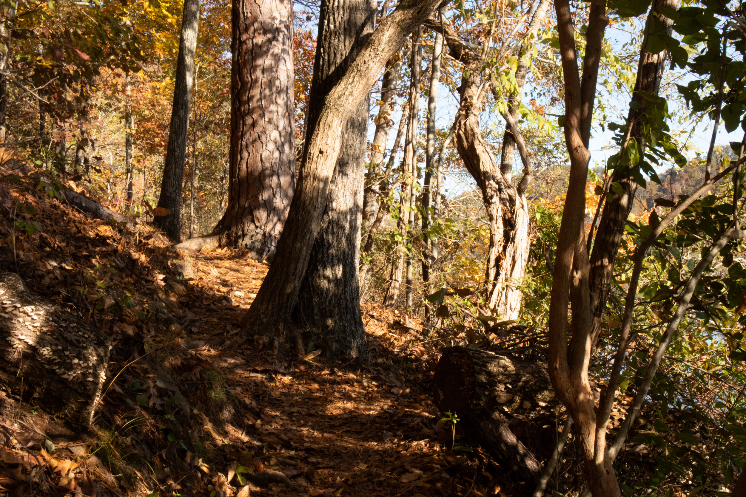
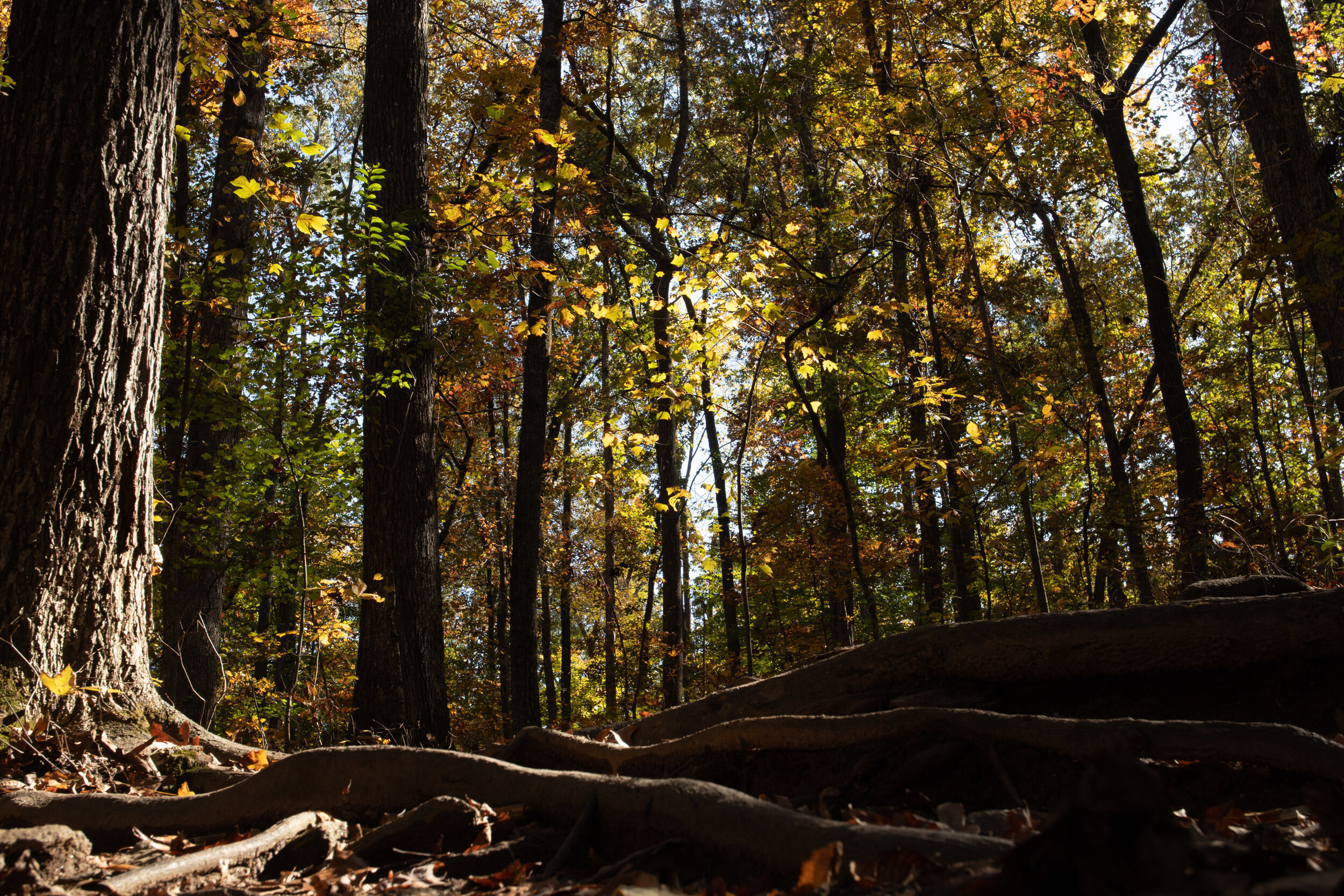
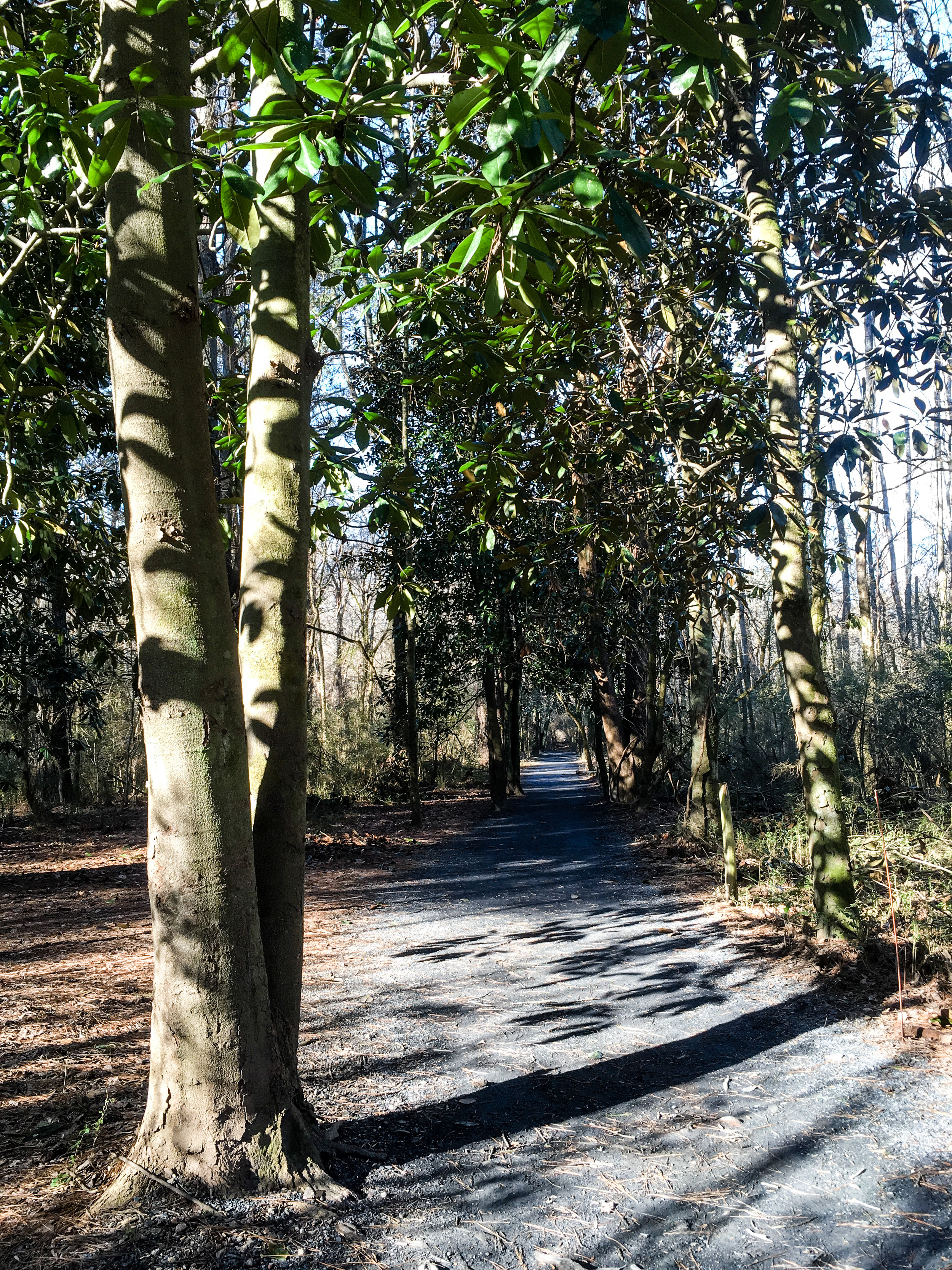
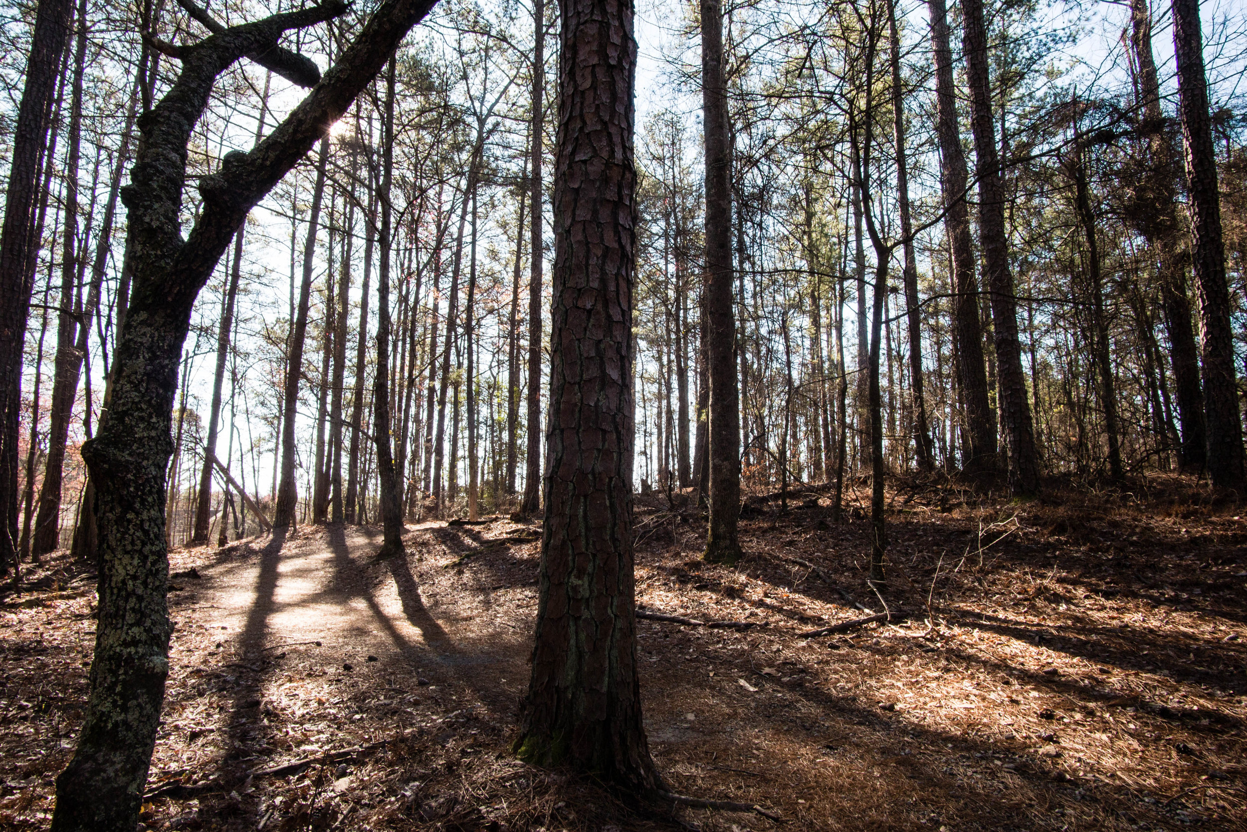
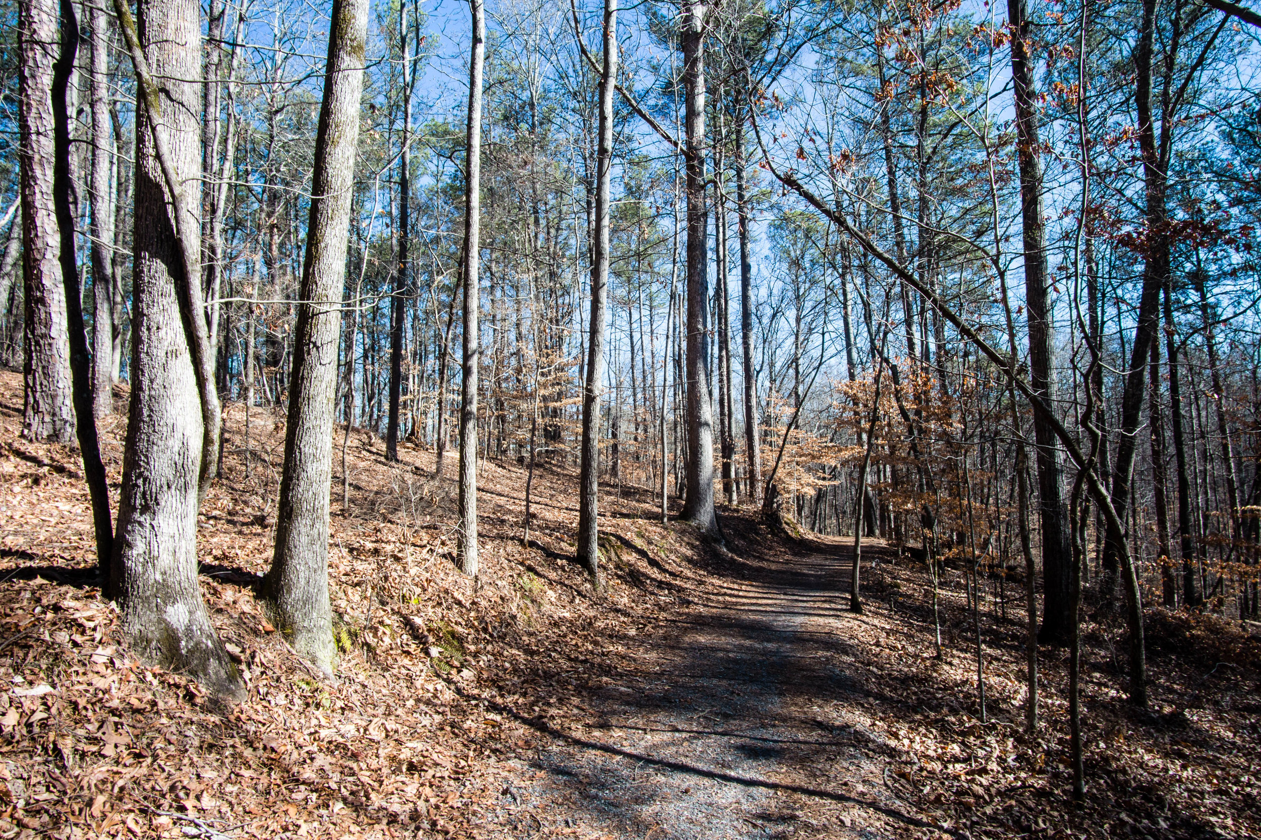
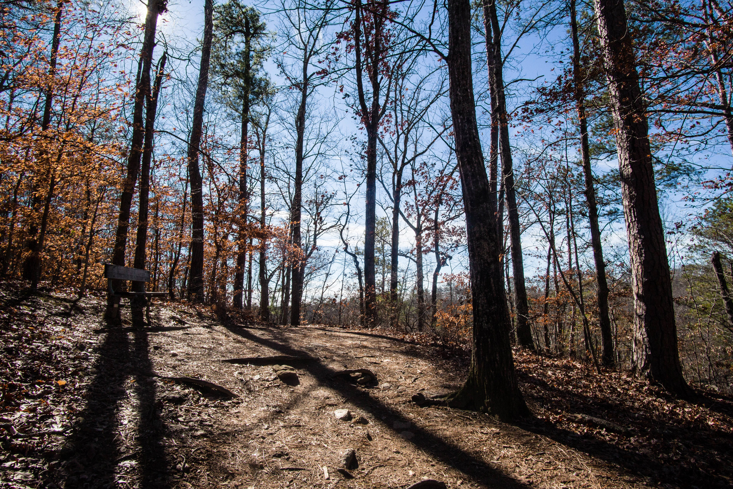
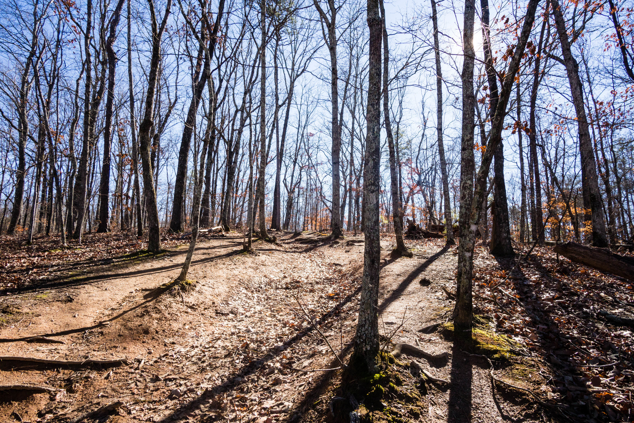
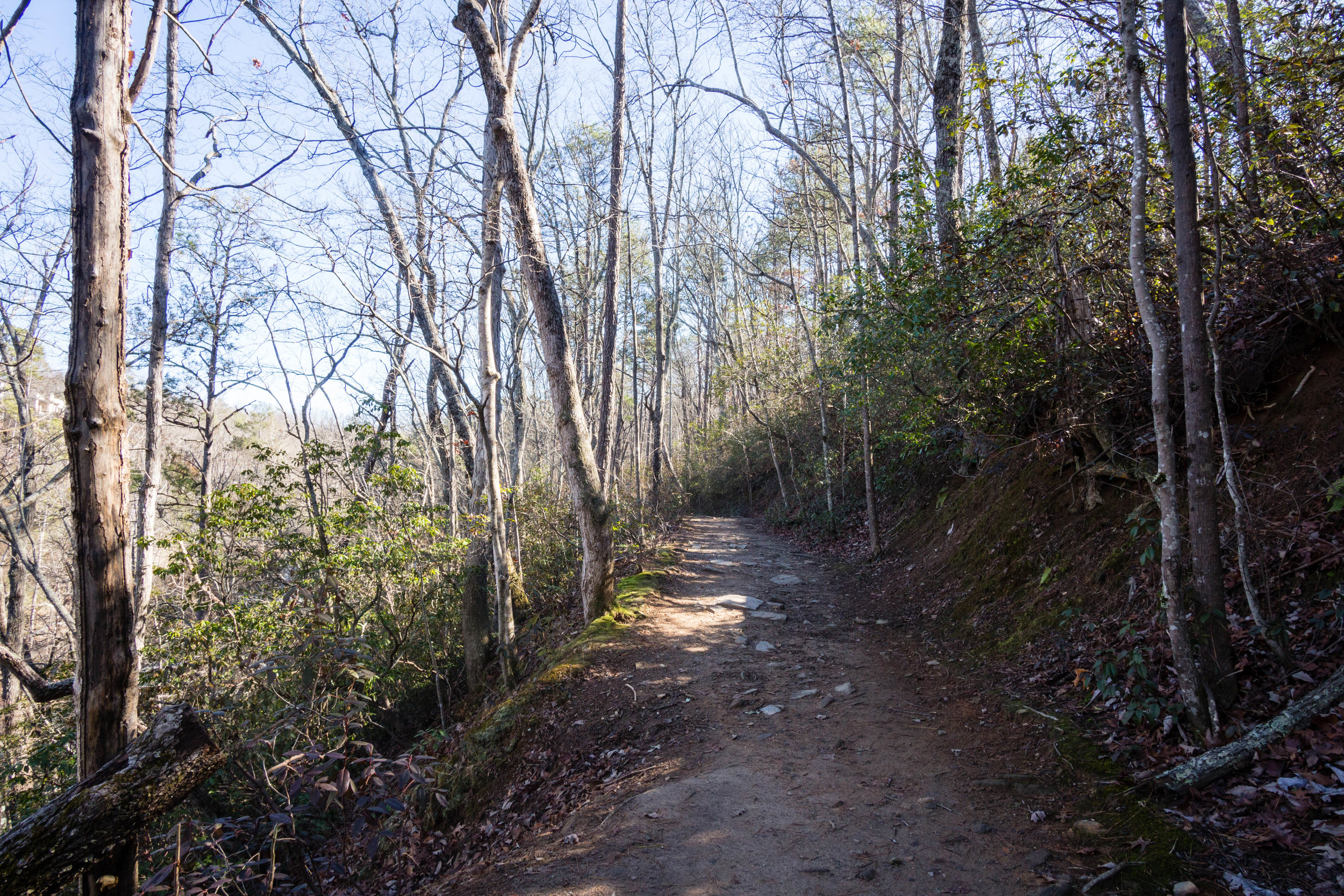
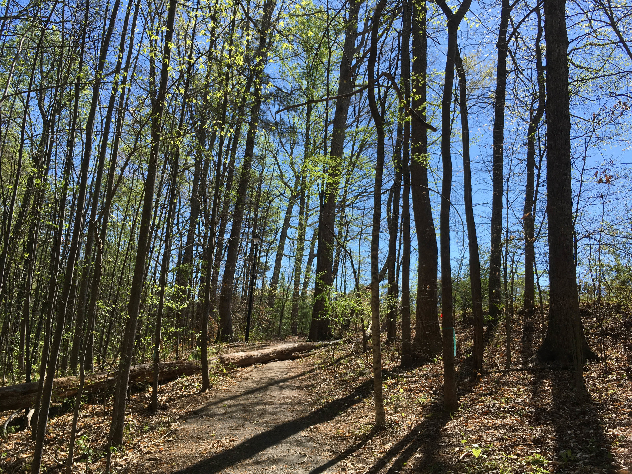
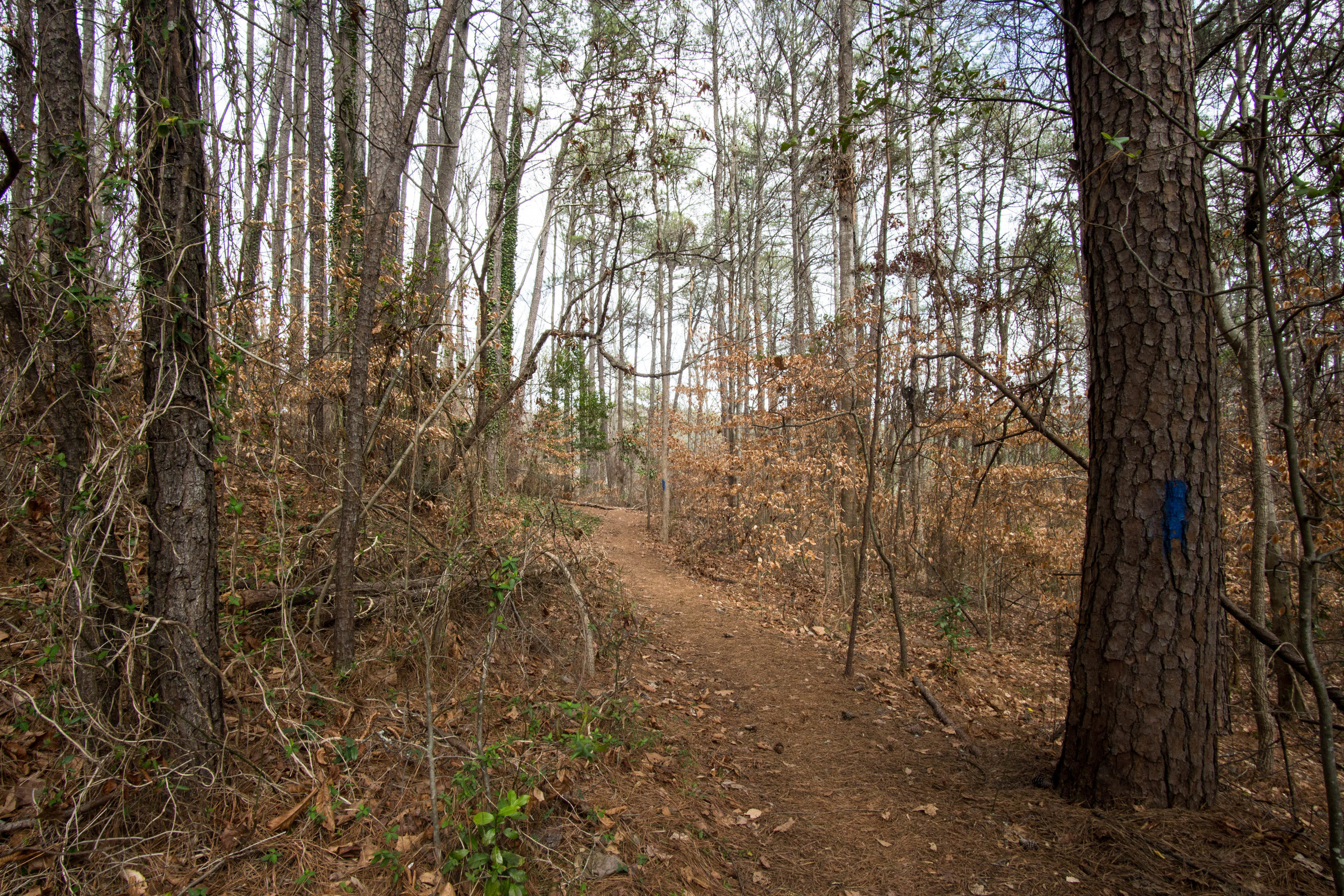
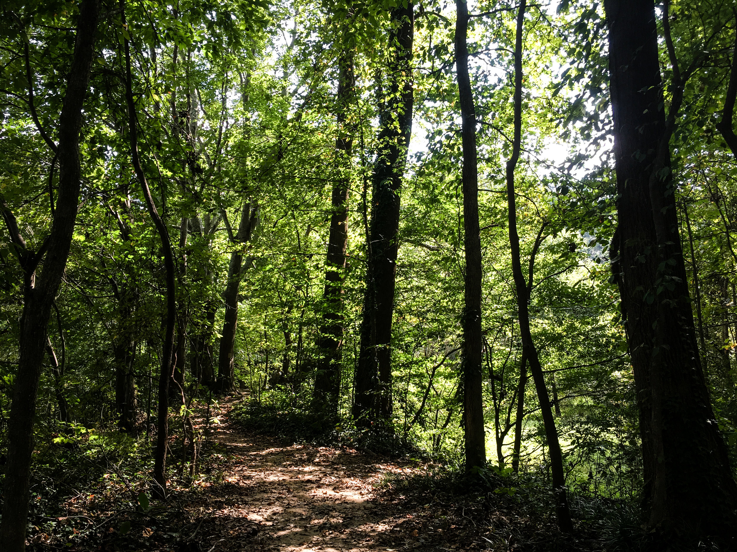
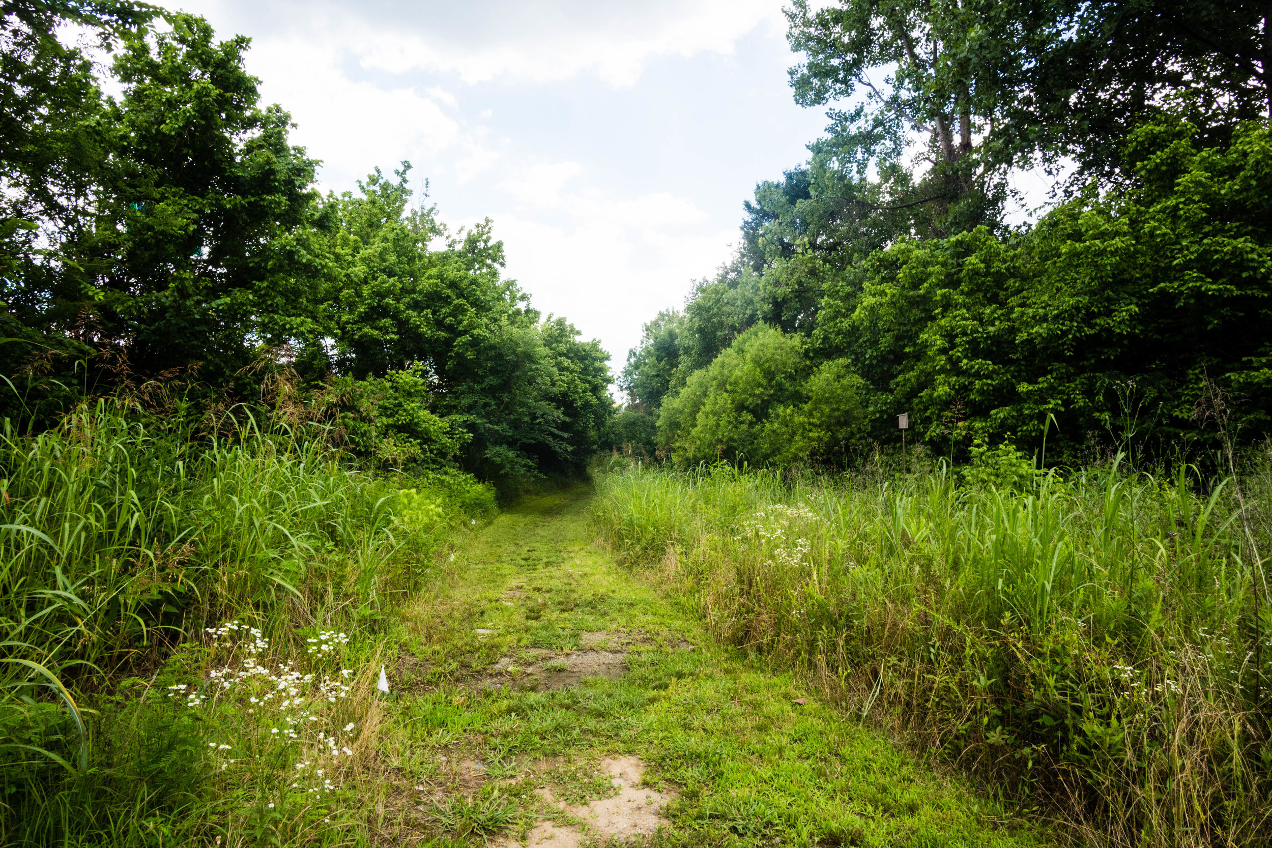
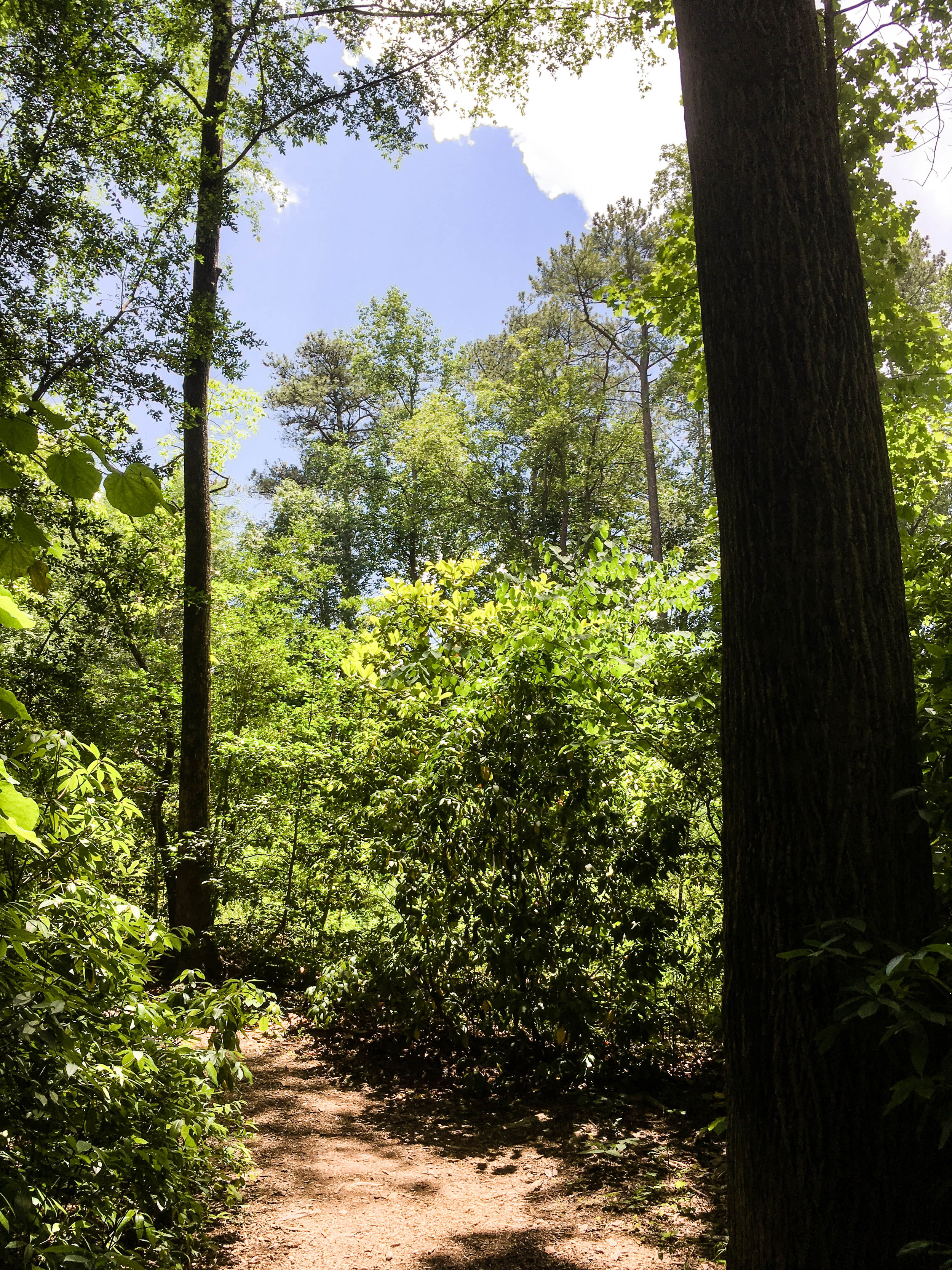
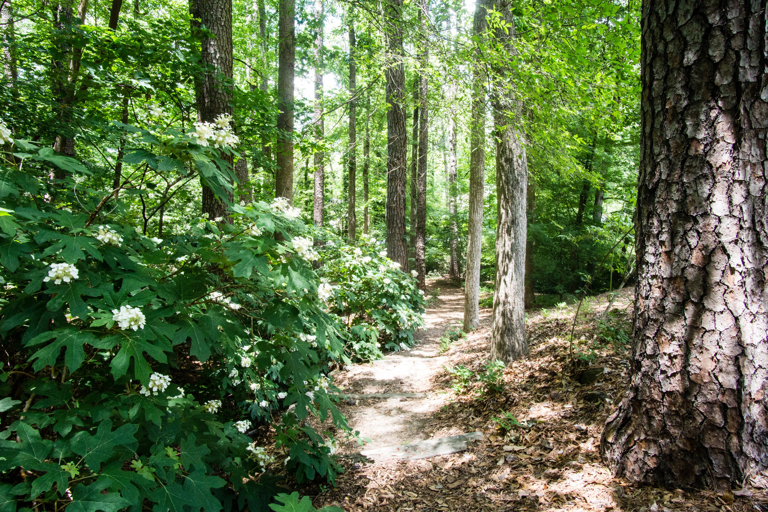
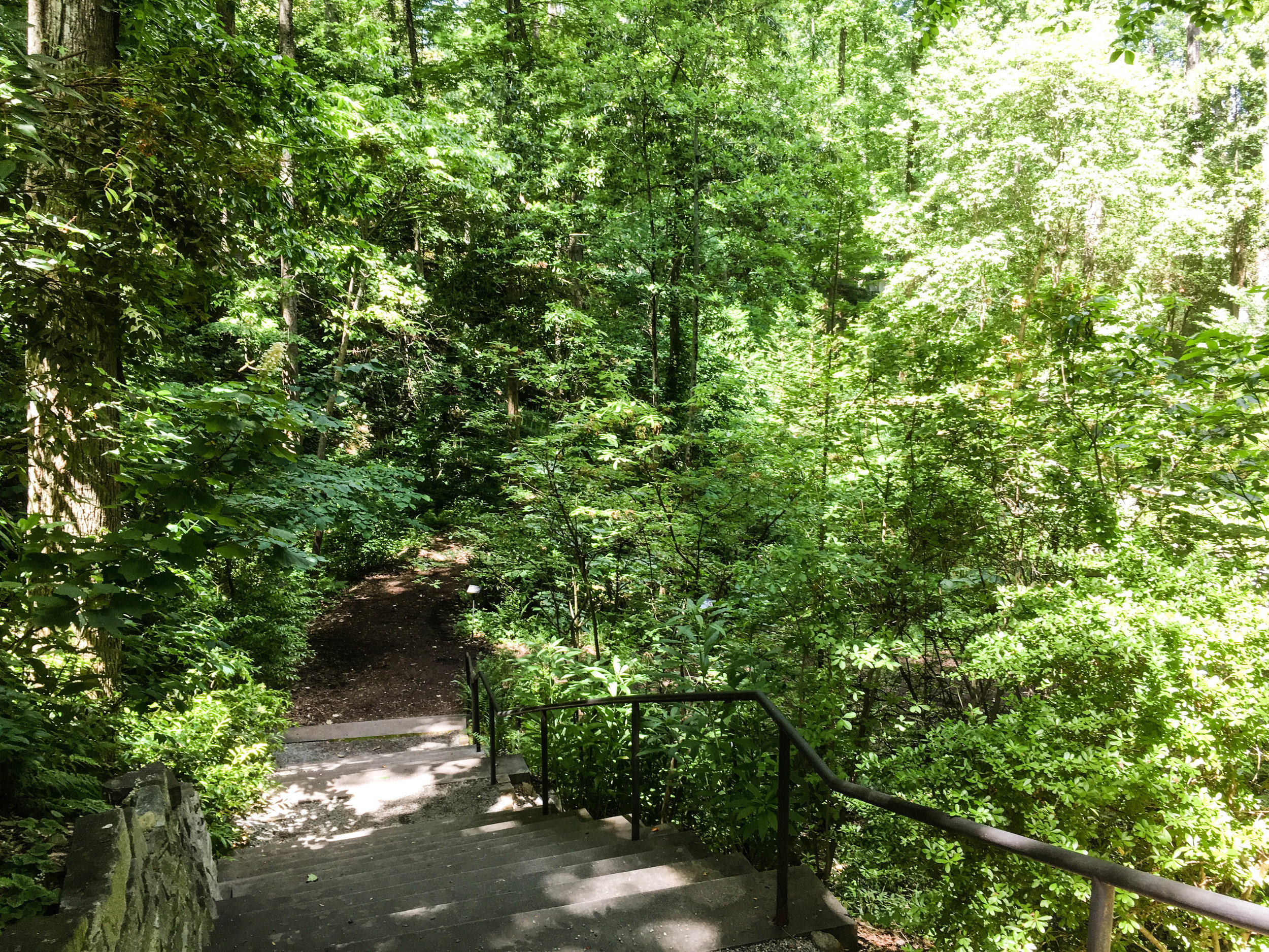
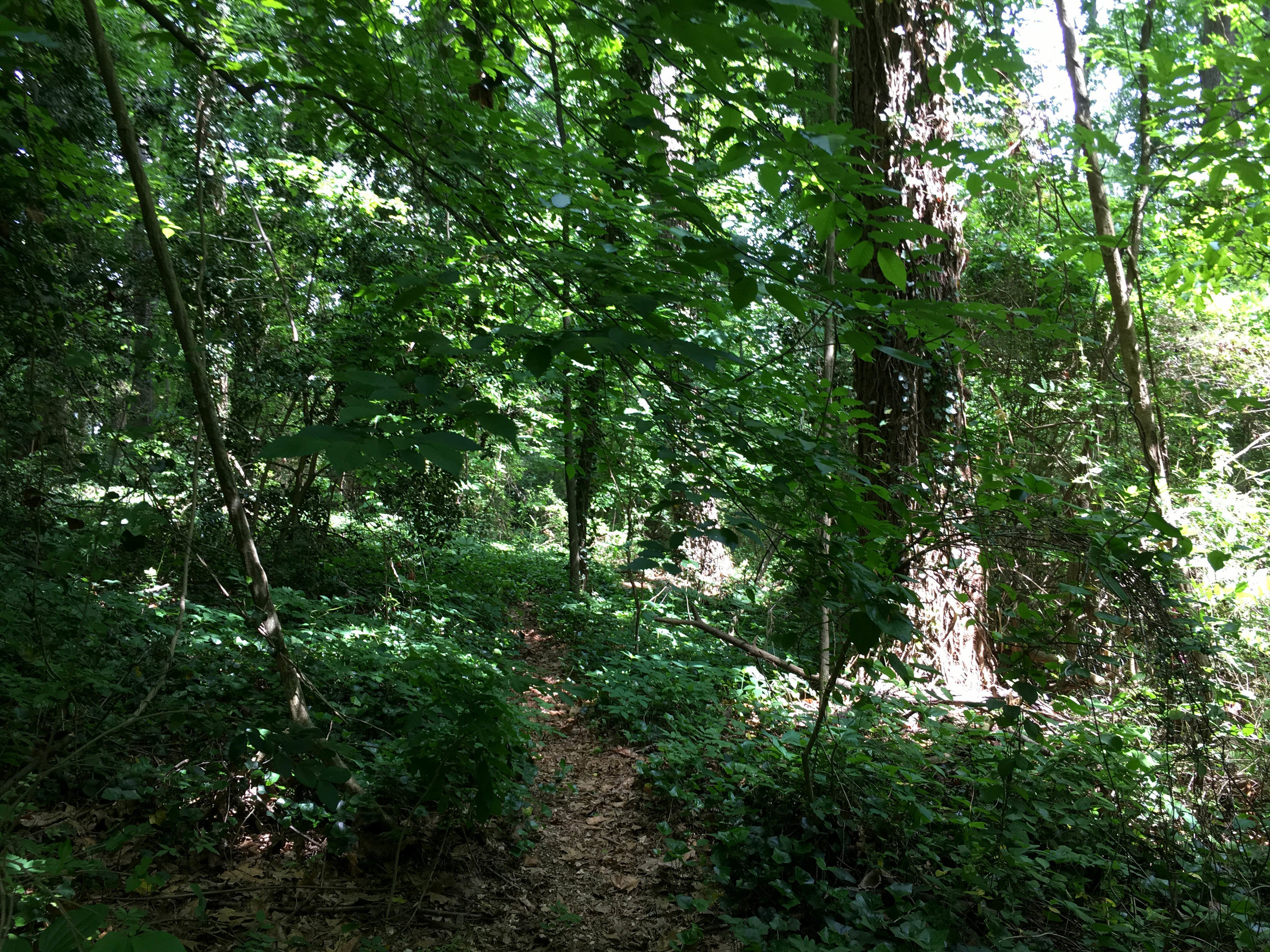
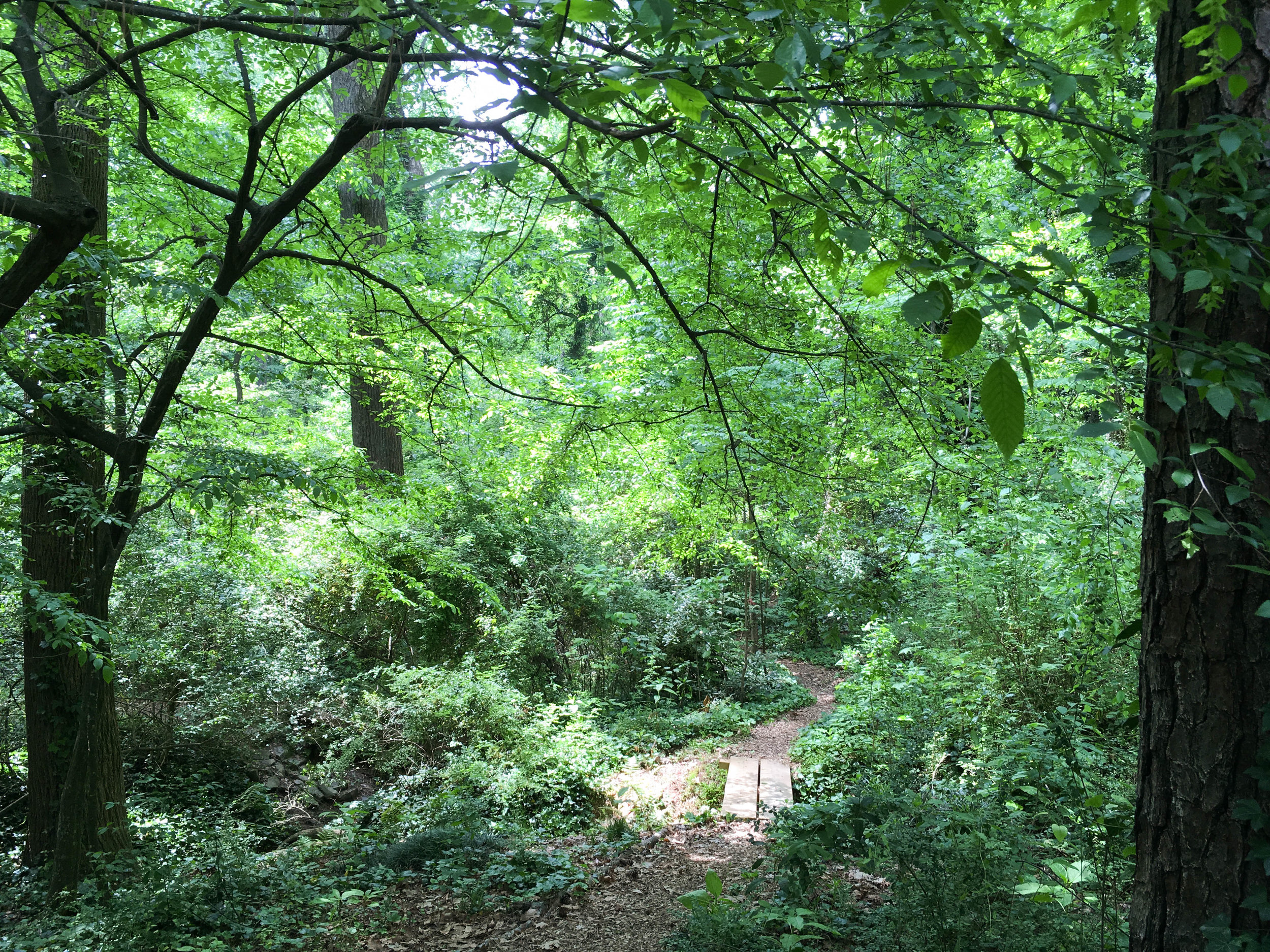
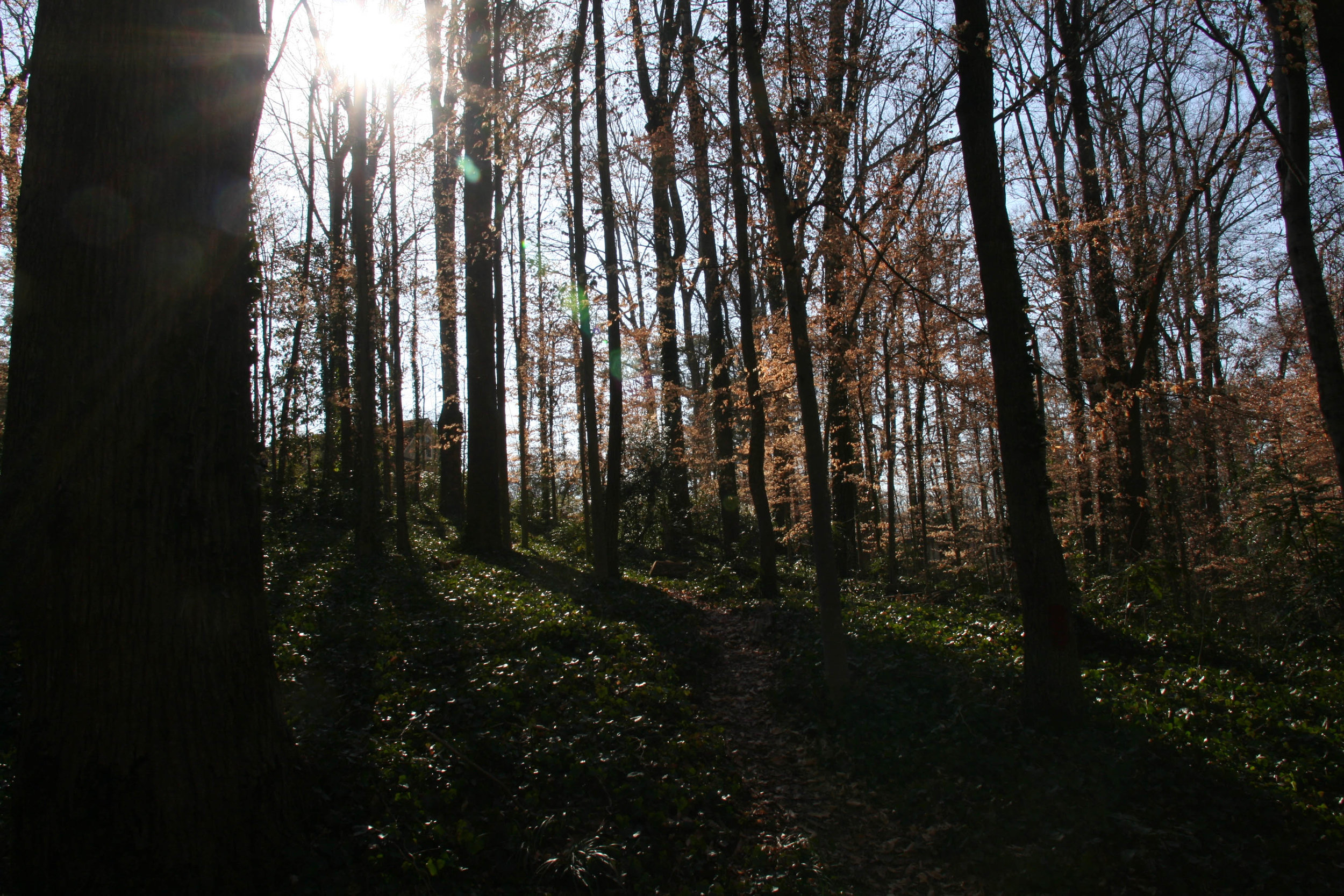
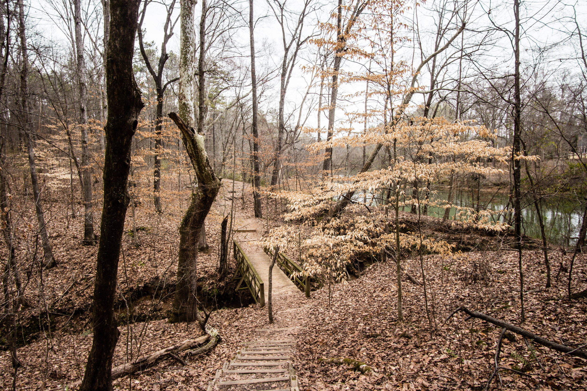
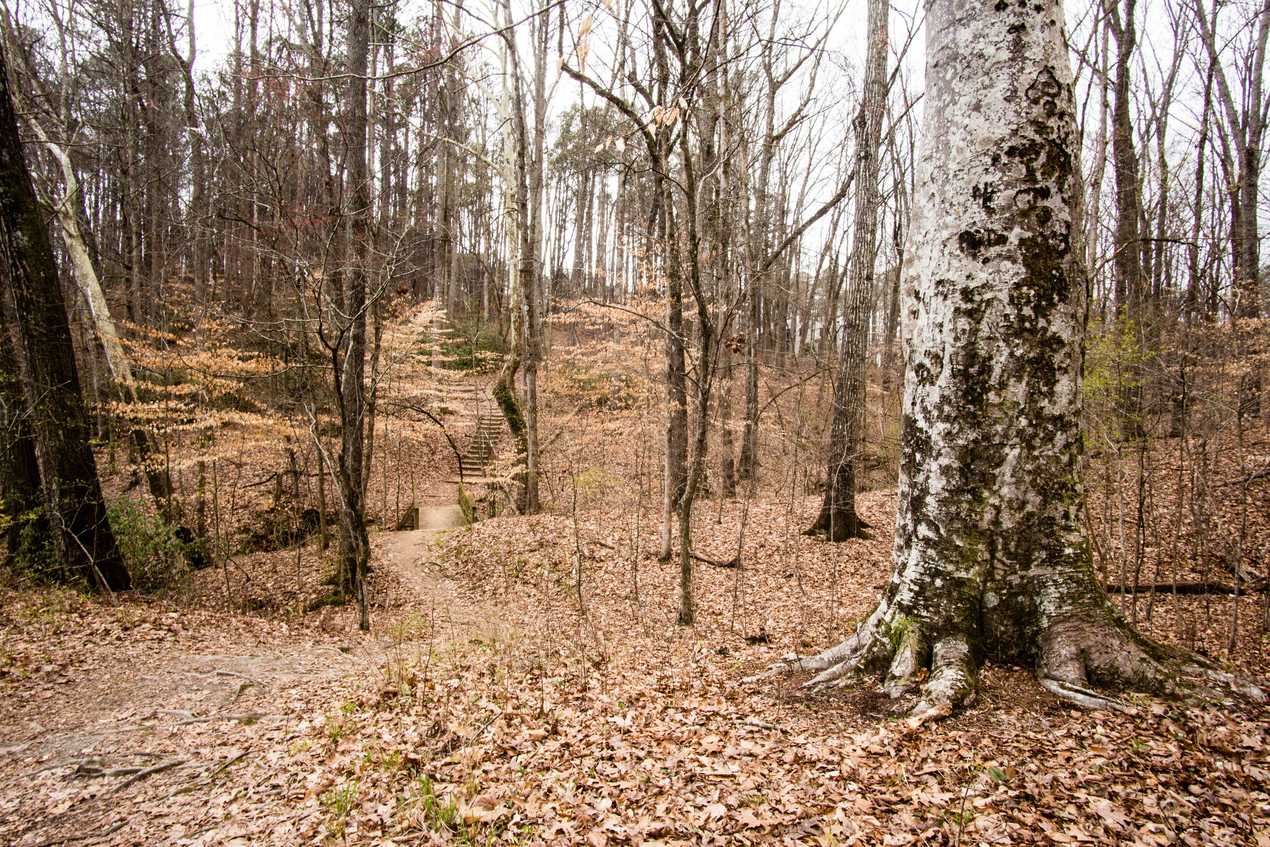
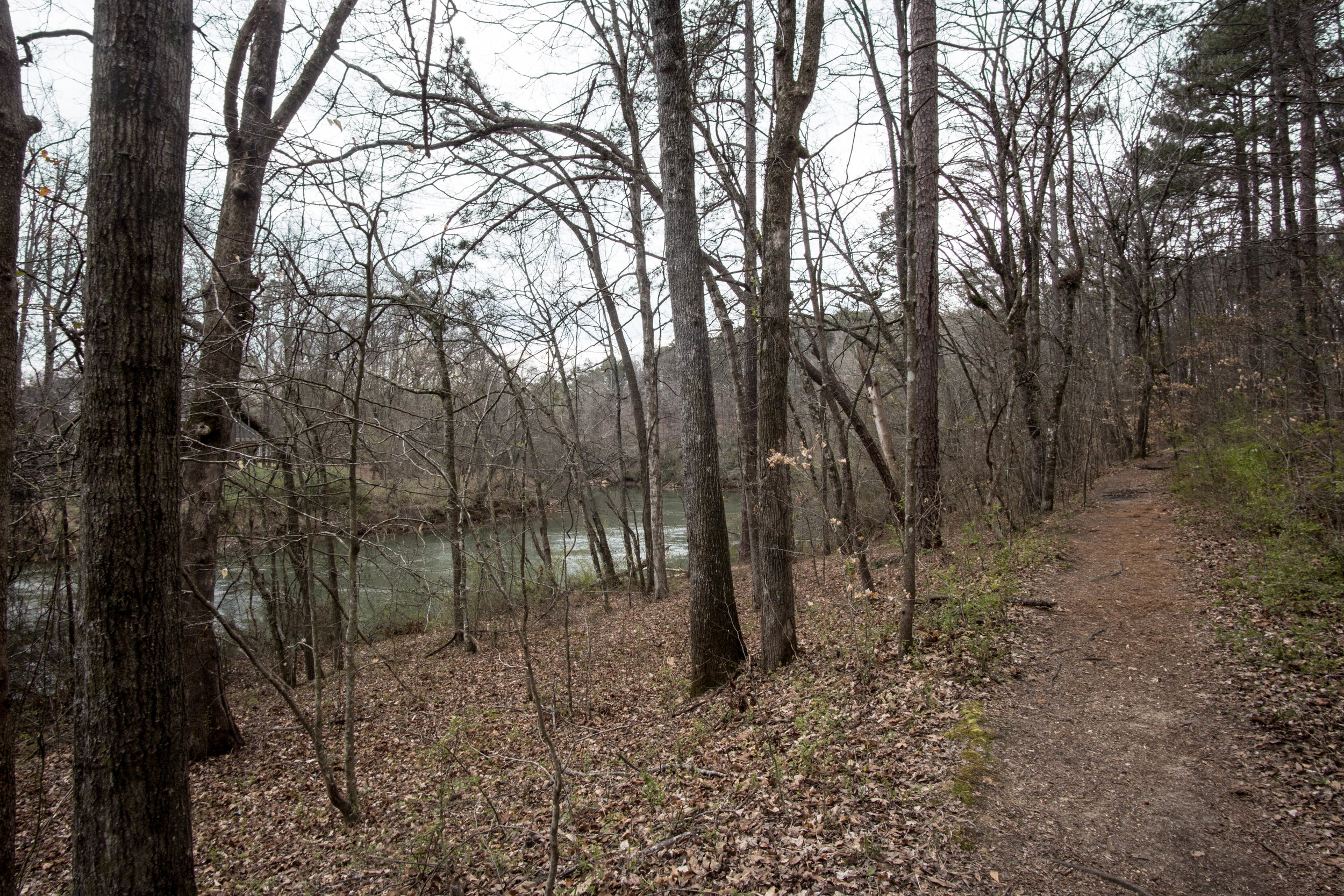
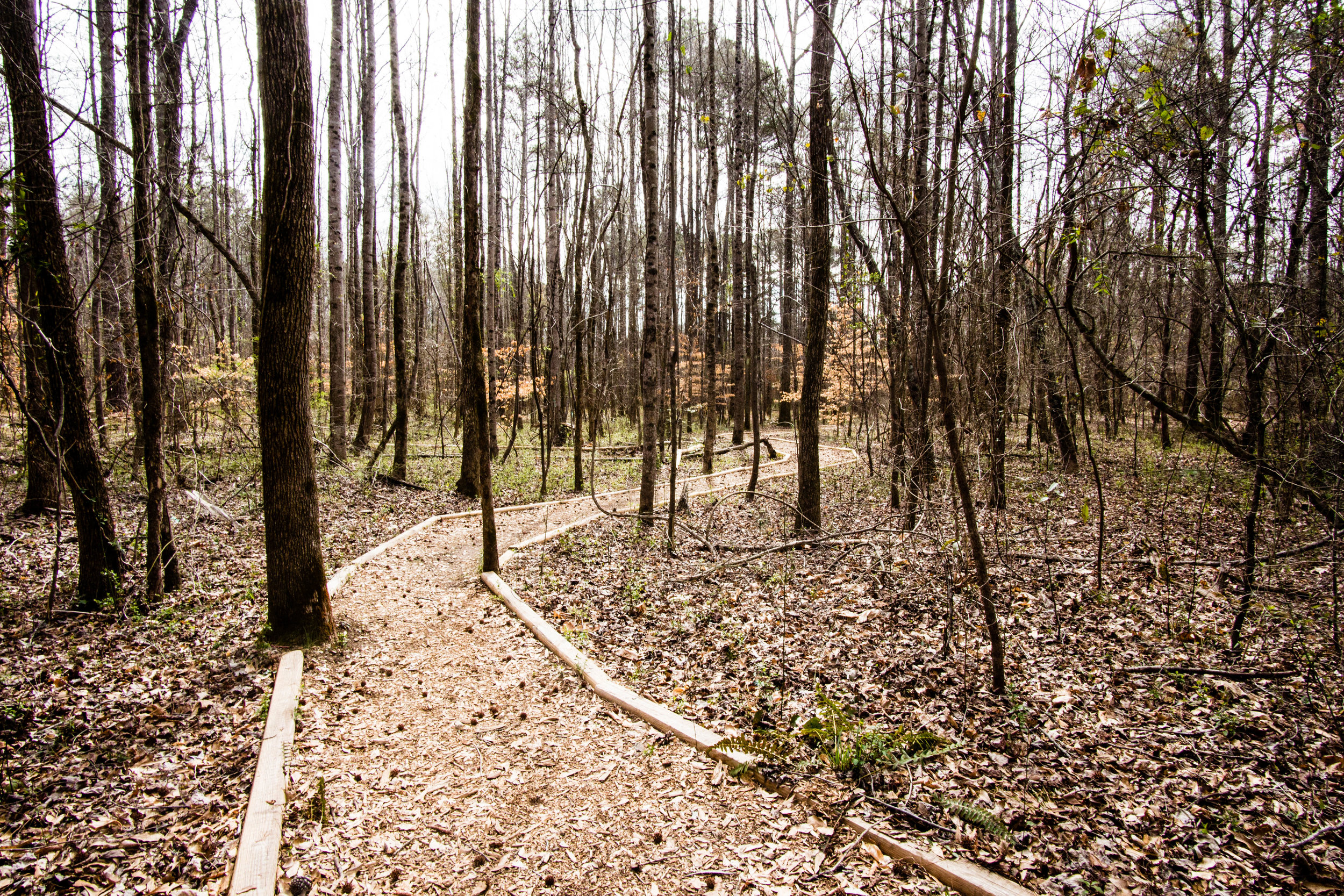
Approximate miles of trails: 1
Hours: Sunrise to sunset
Miles from downtown Atlanta: 10
Transit directions: The MARTA #120 from Avondale Station stops right in front of the wildlife sanctuary
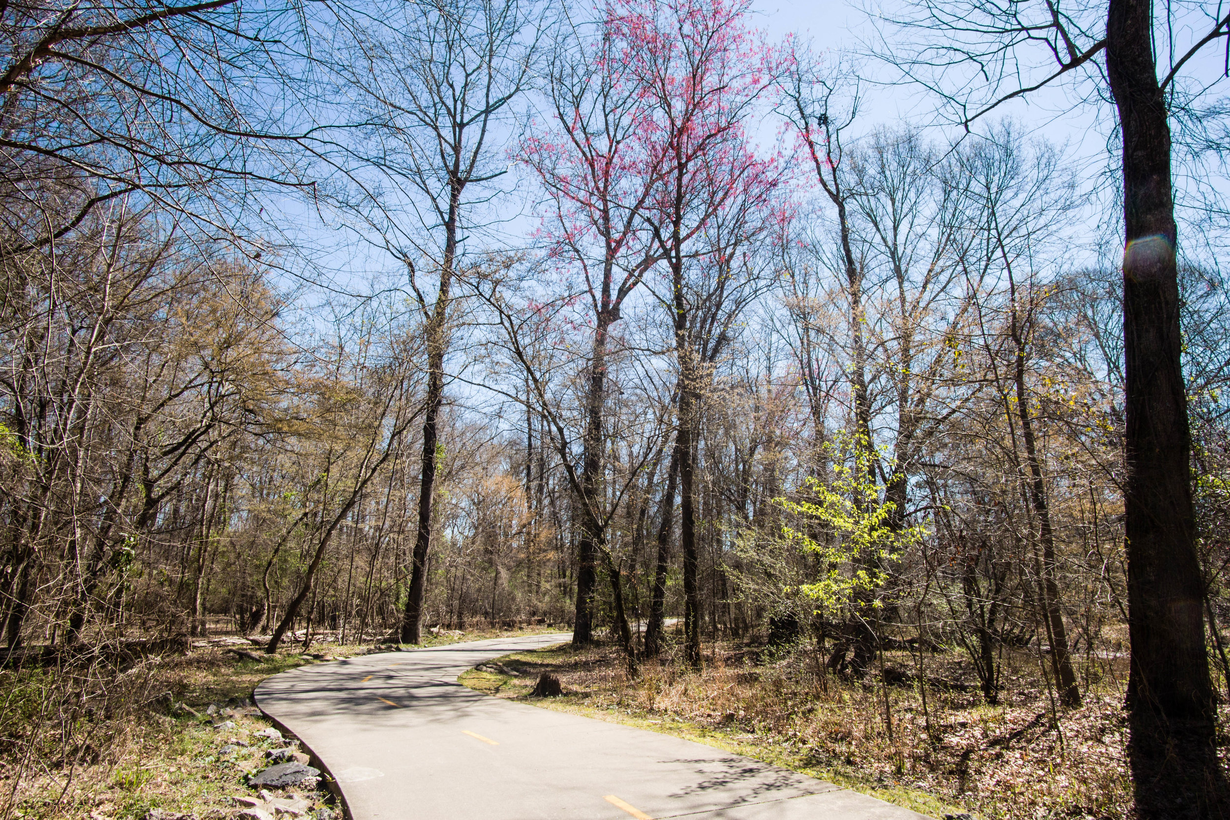
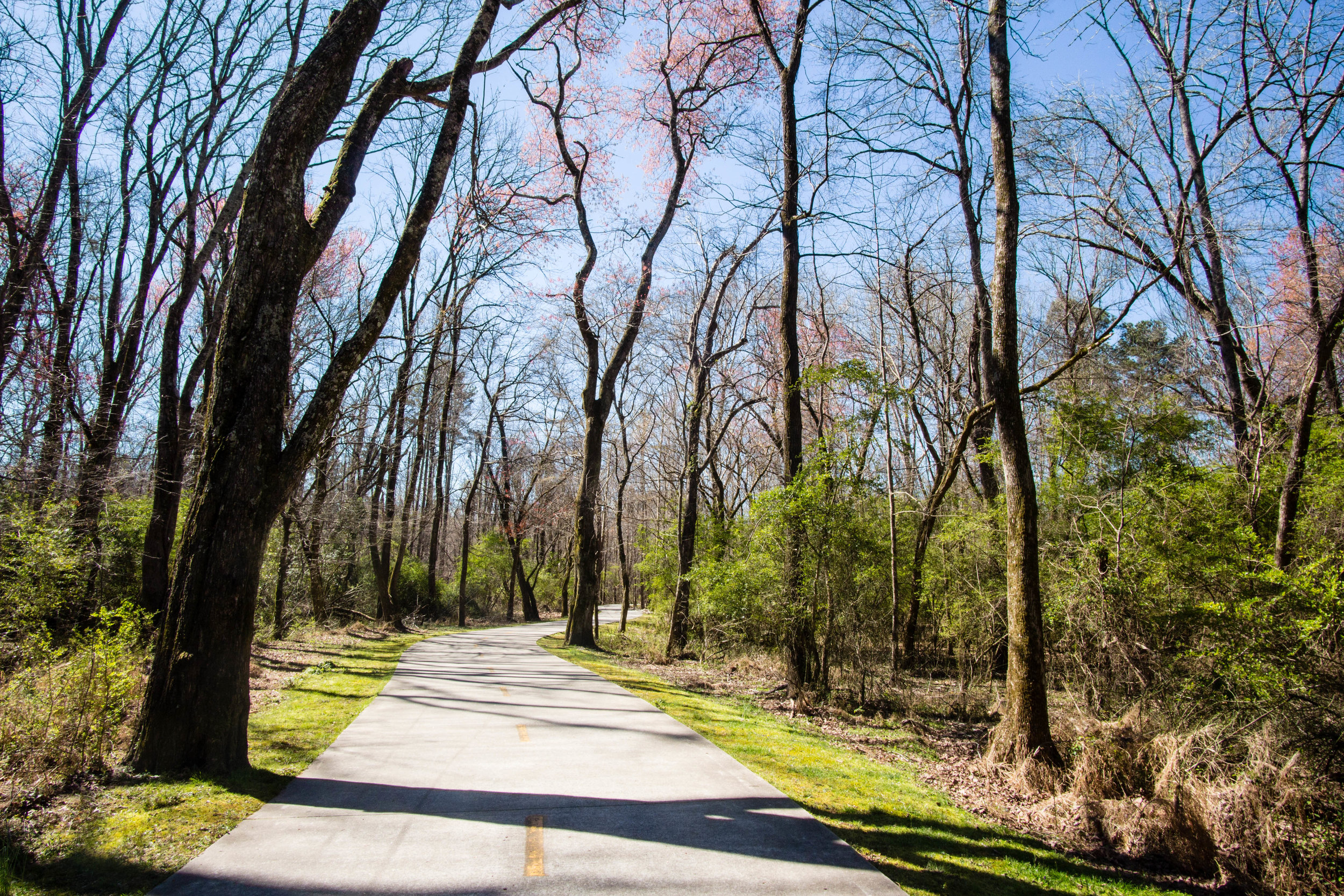
Cycling directions: The Stone Mountain PATH runs directly across the street from the wildlife sanctuary. The PATH goes through downtown Decatur and downtown Atlanta, and connects to the BeltLine.
Parking: There is a parking lot at the Ponce trailhead. There are a couple accessible parking spaces available.
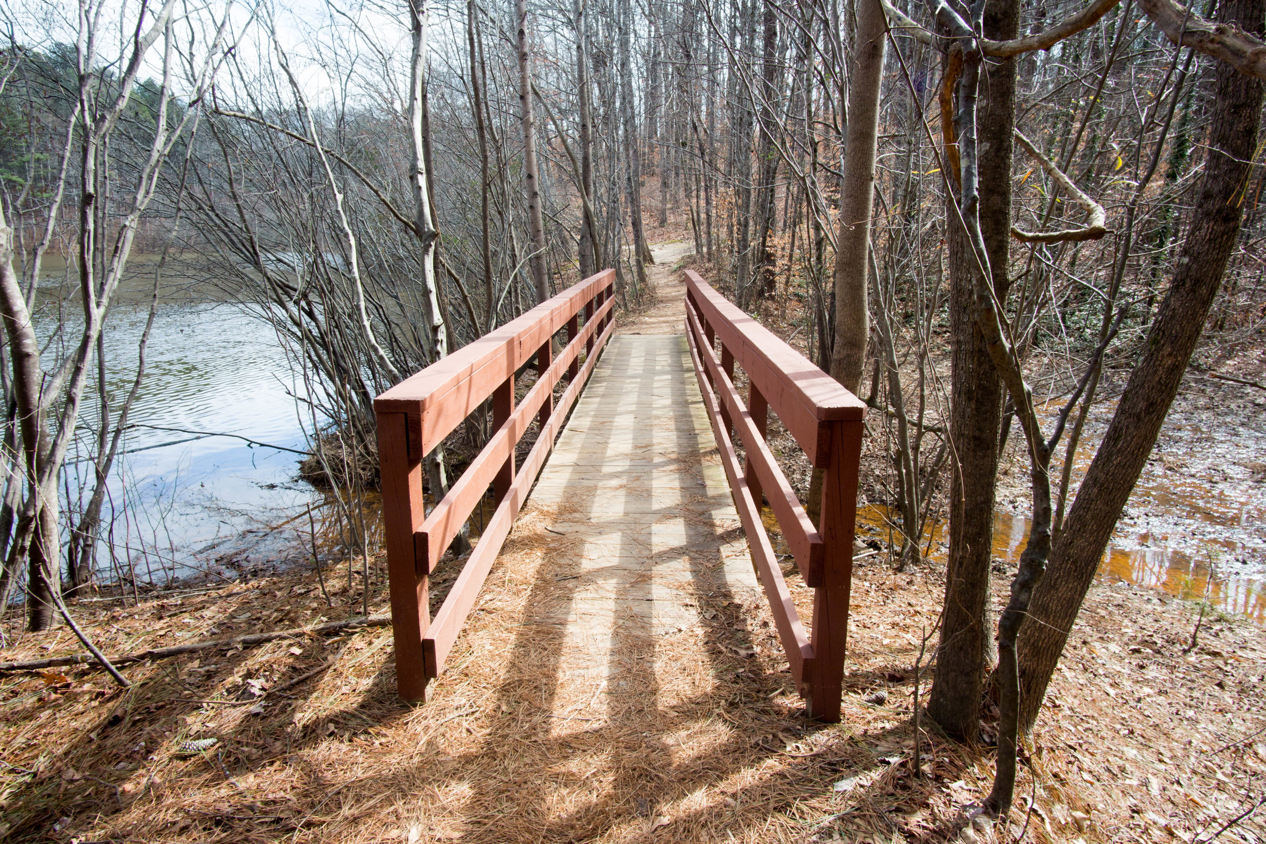
Trailhead(s): The main trailhead is at the parking lot on Ponce. There is also a trailhead at the end of Clark St.
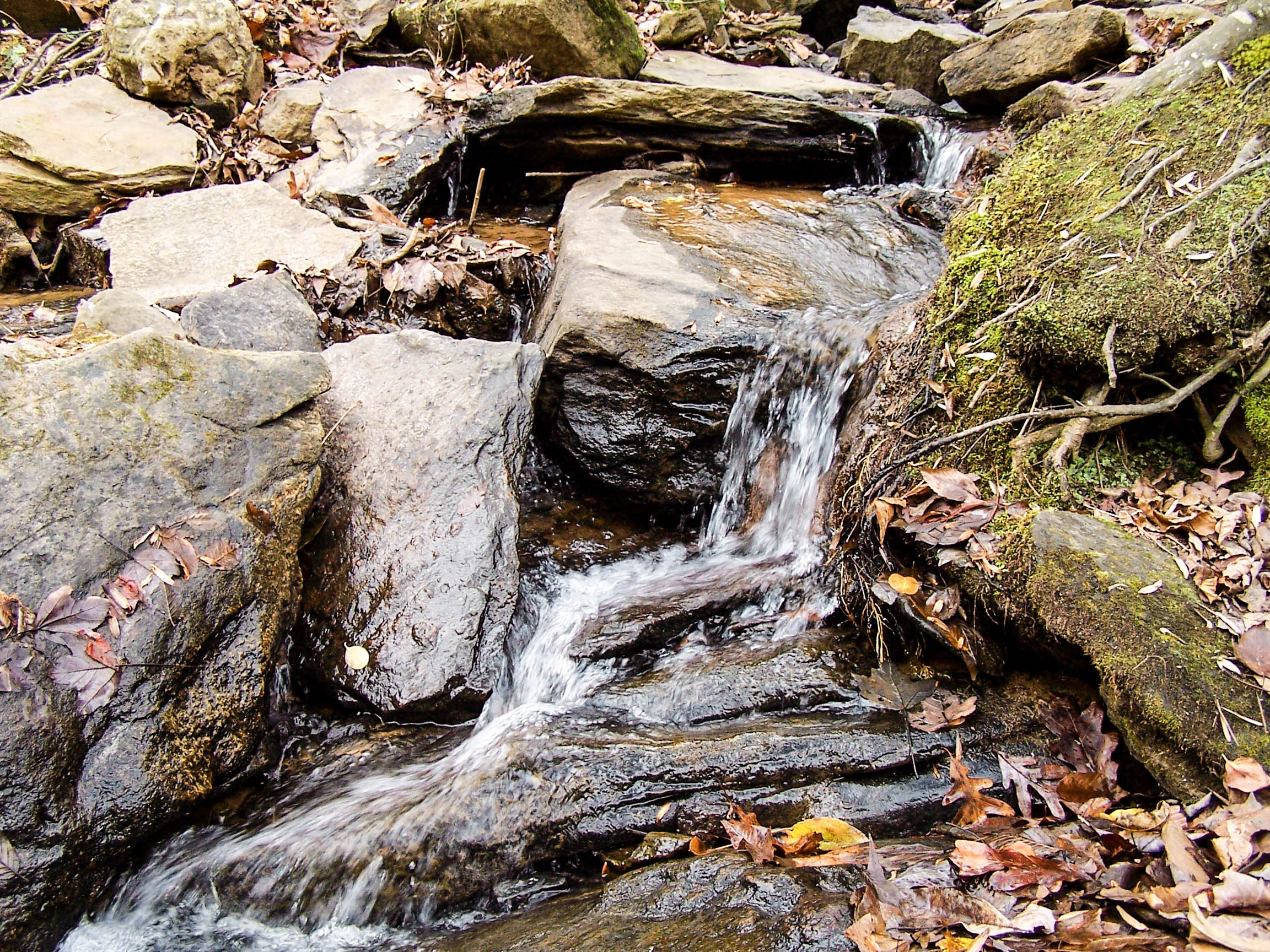
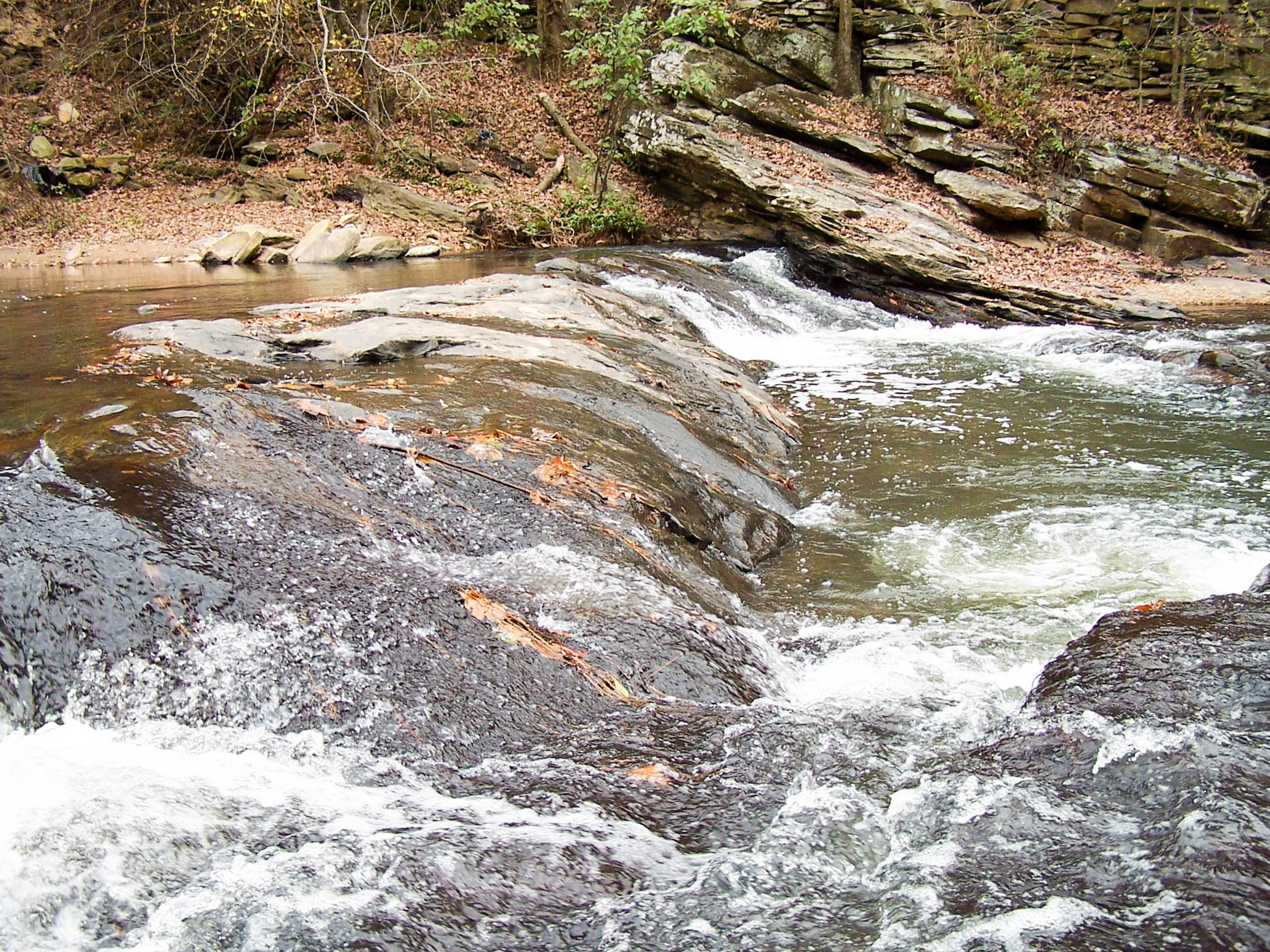
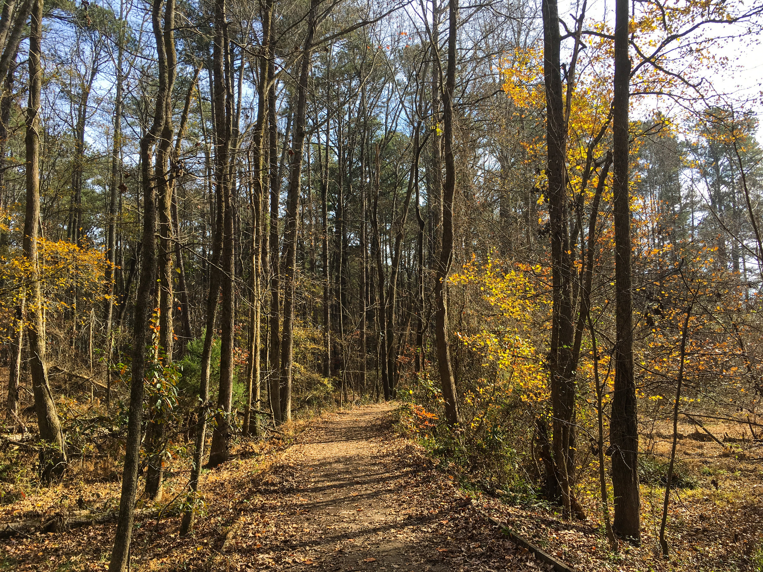
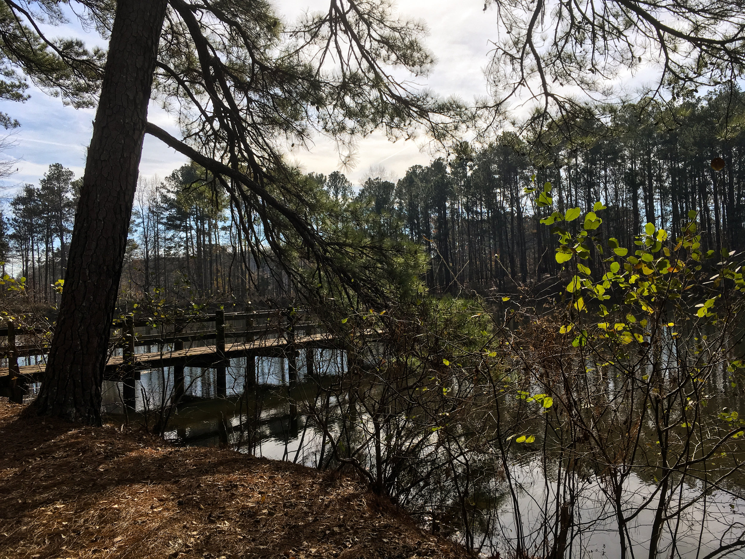
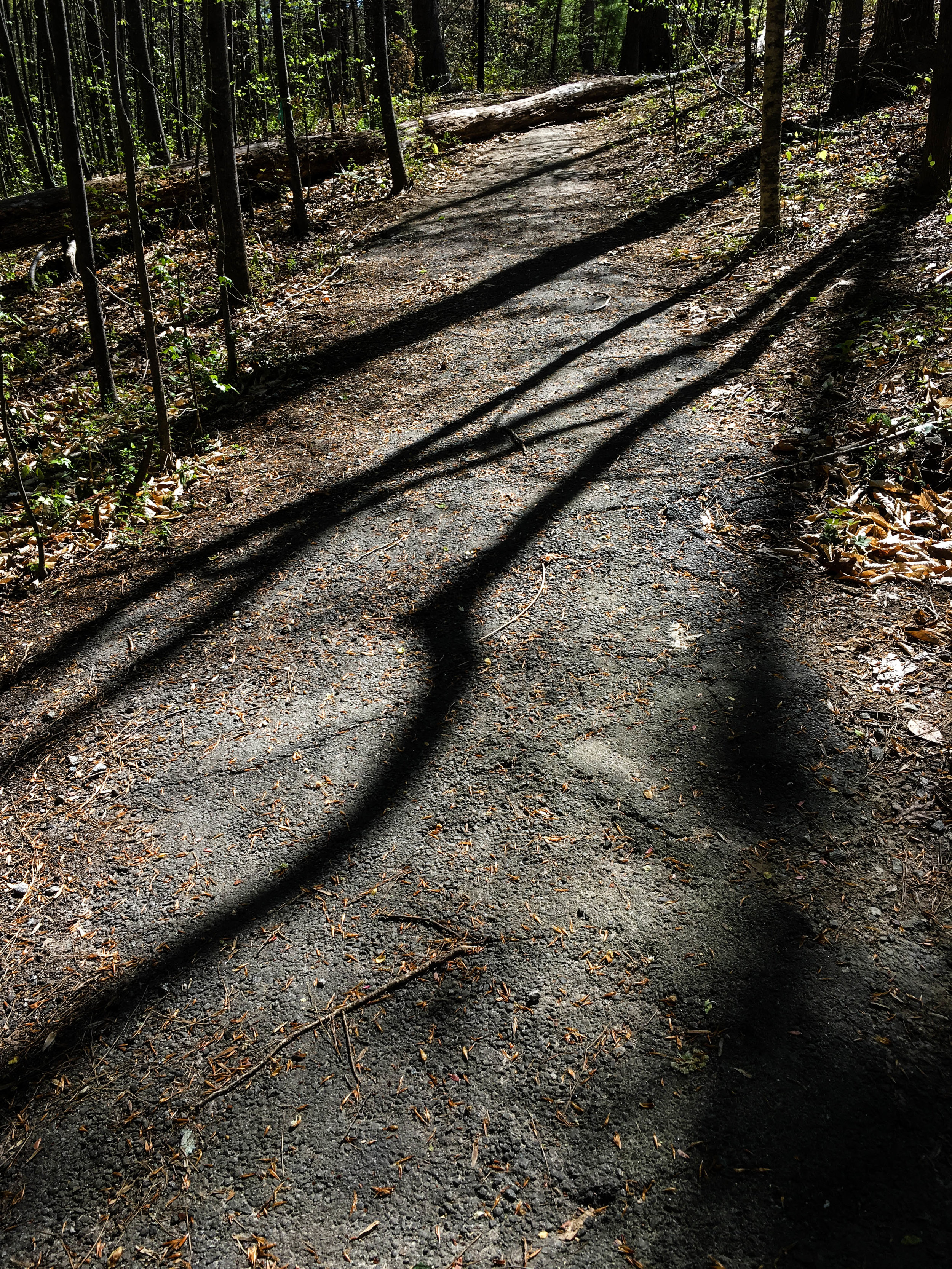
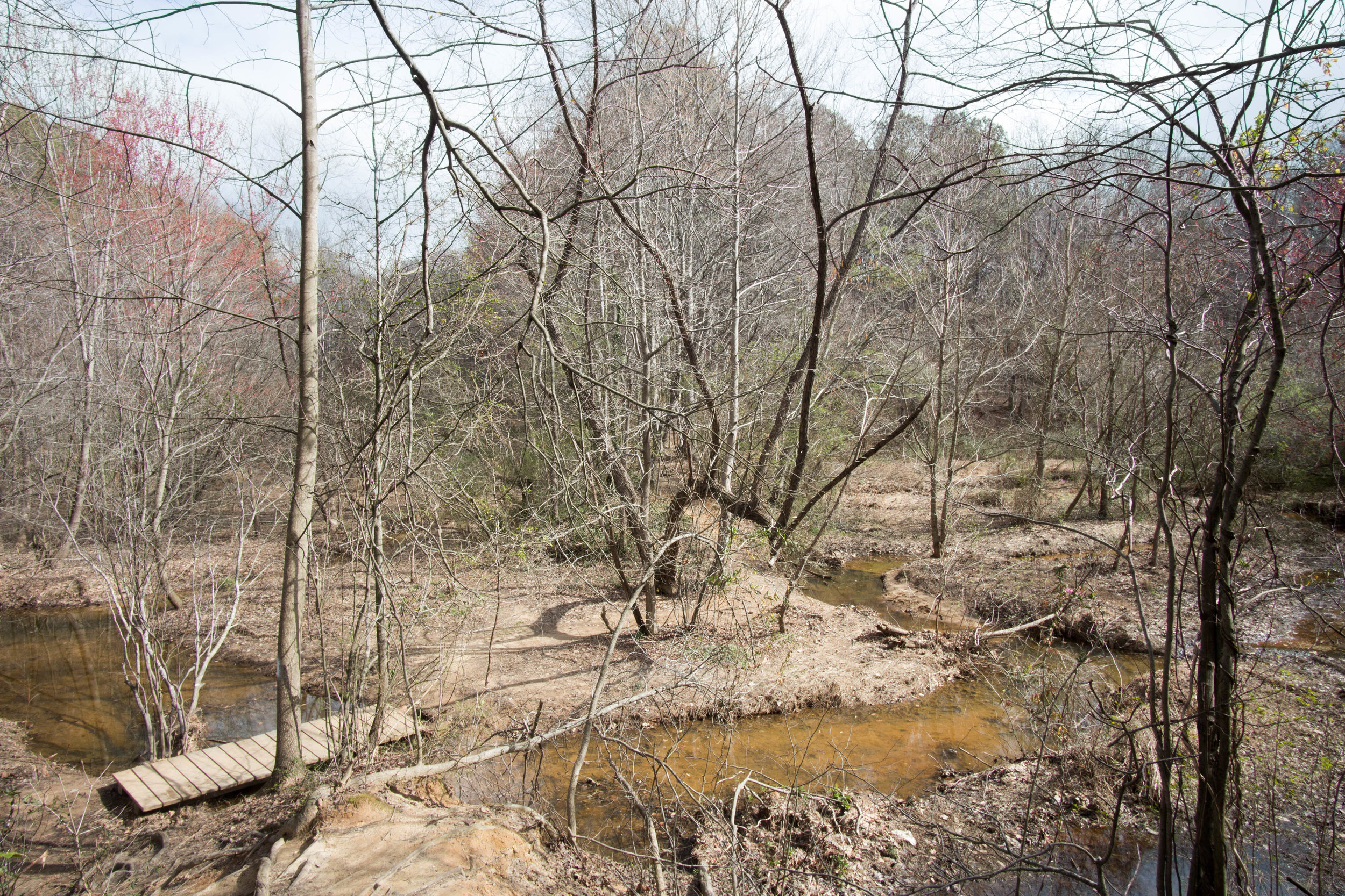
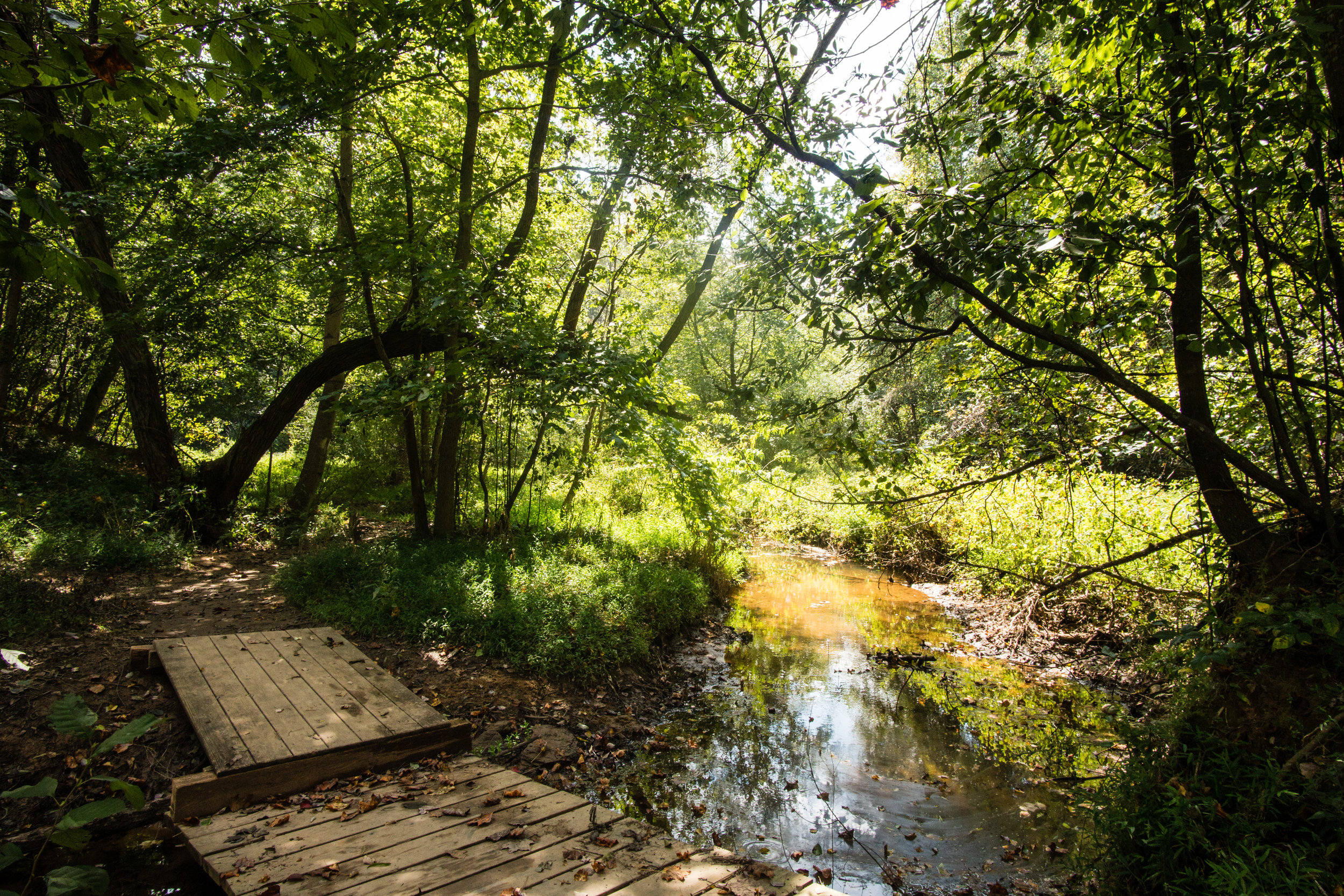
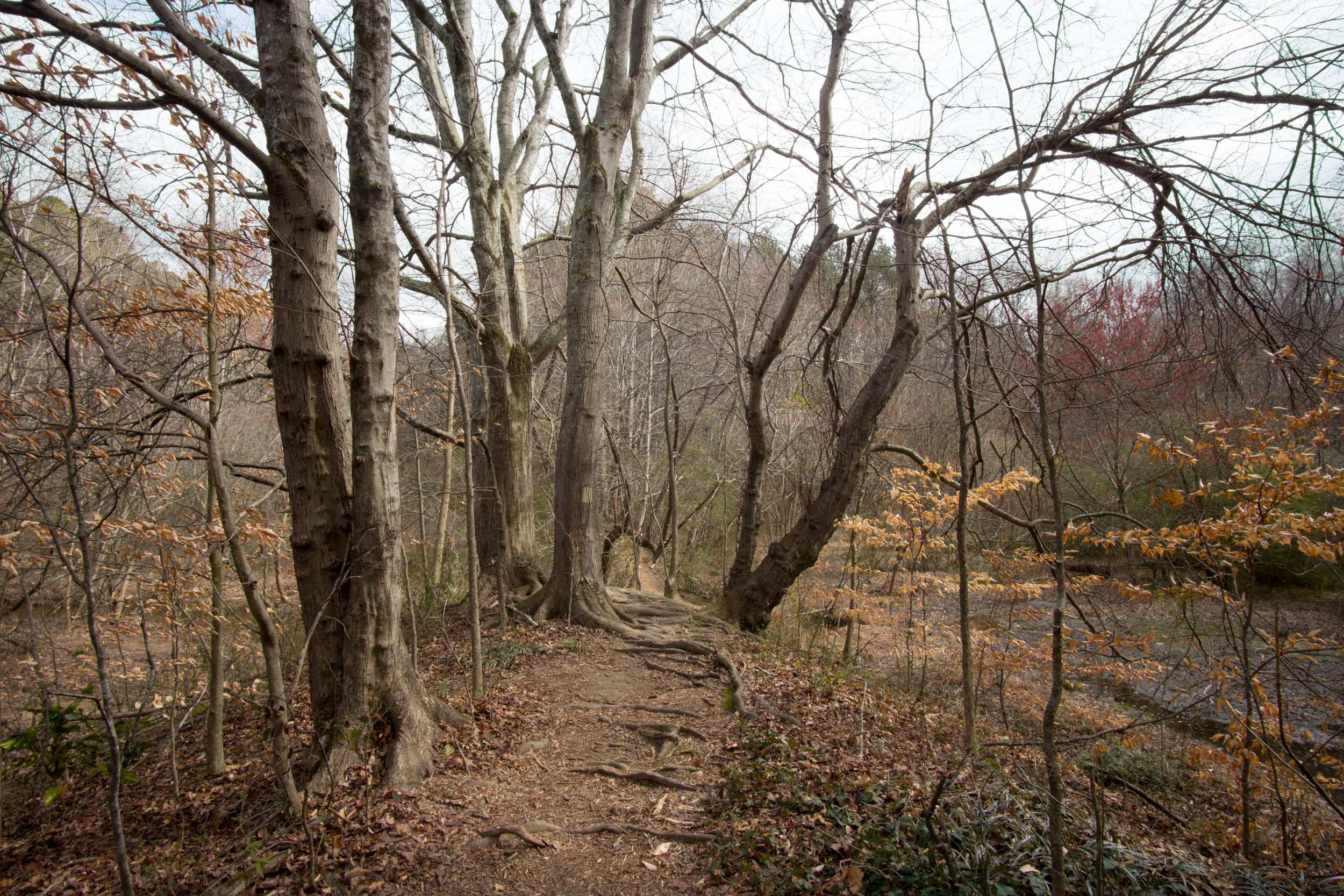
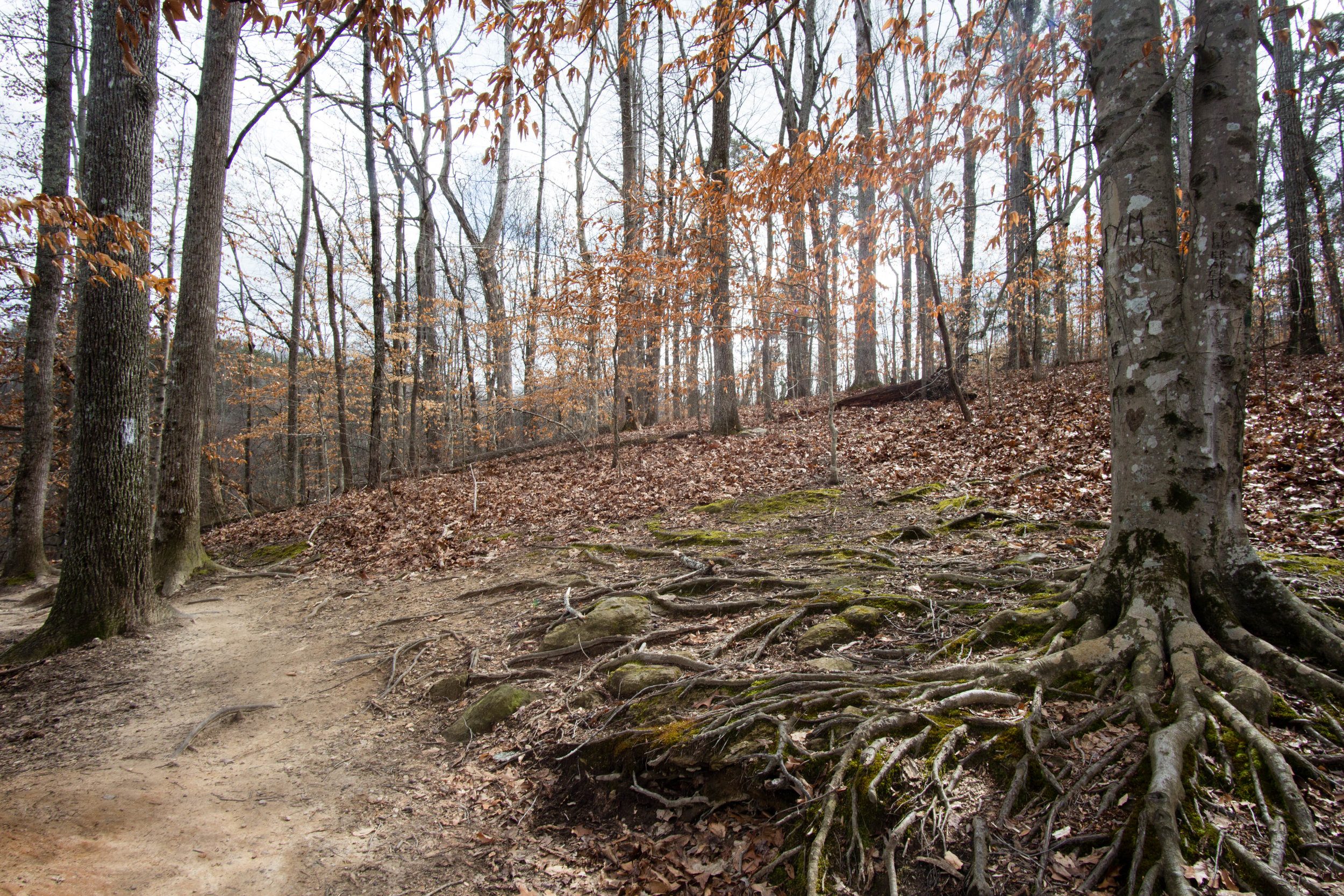
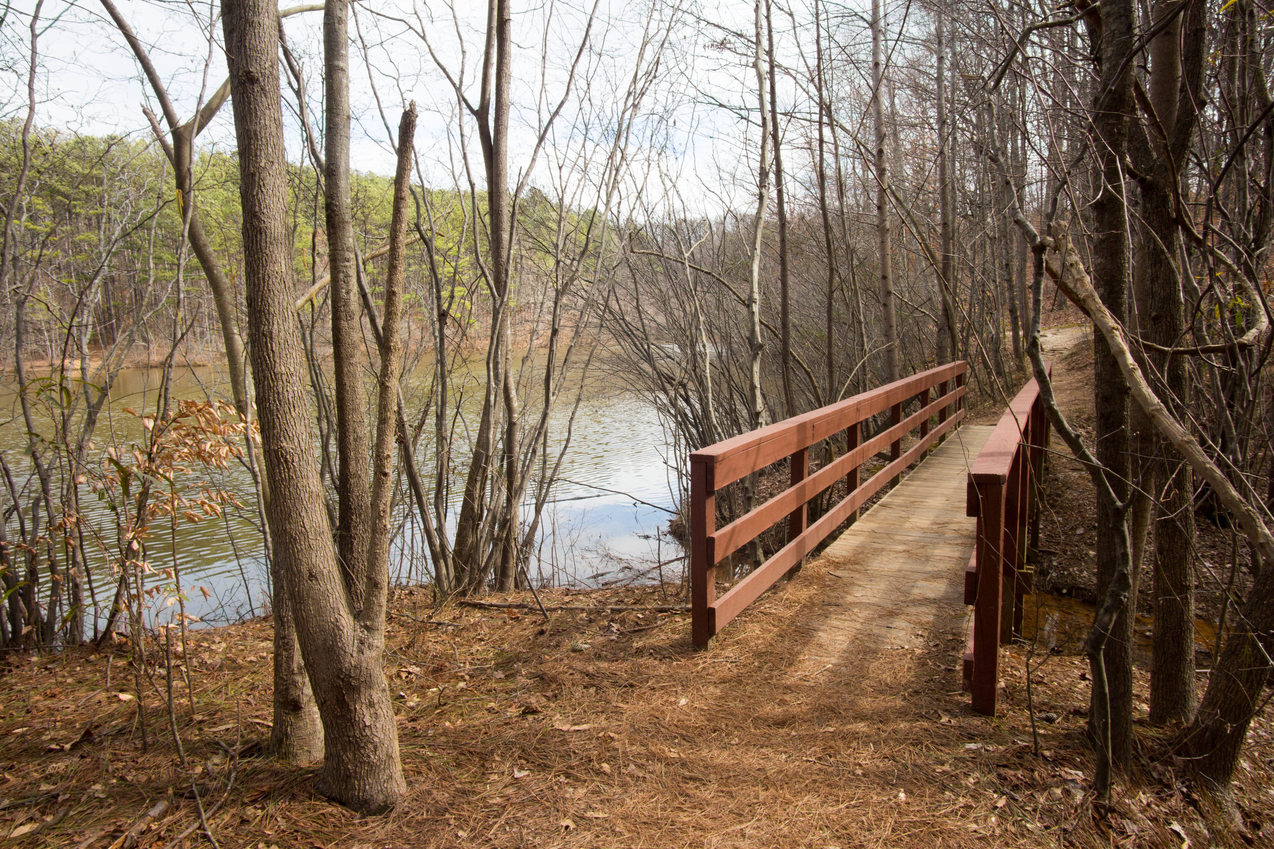
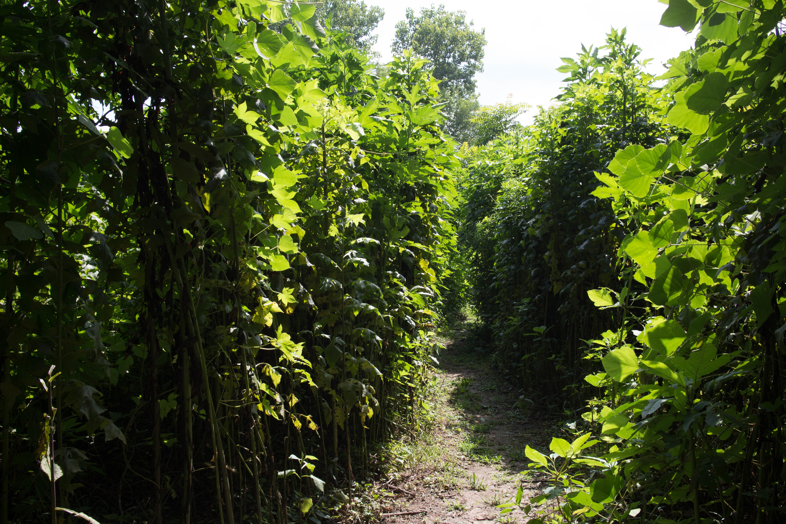
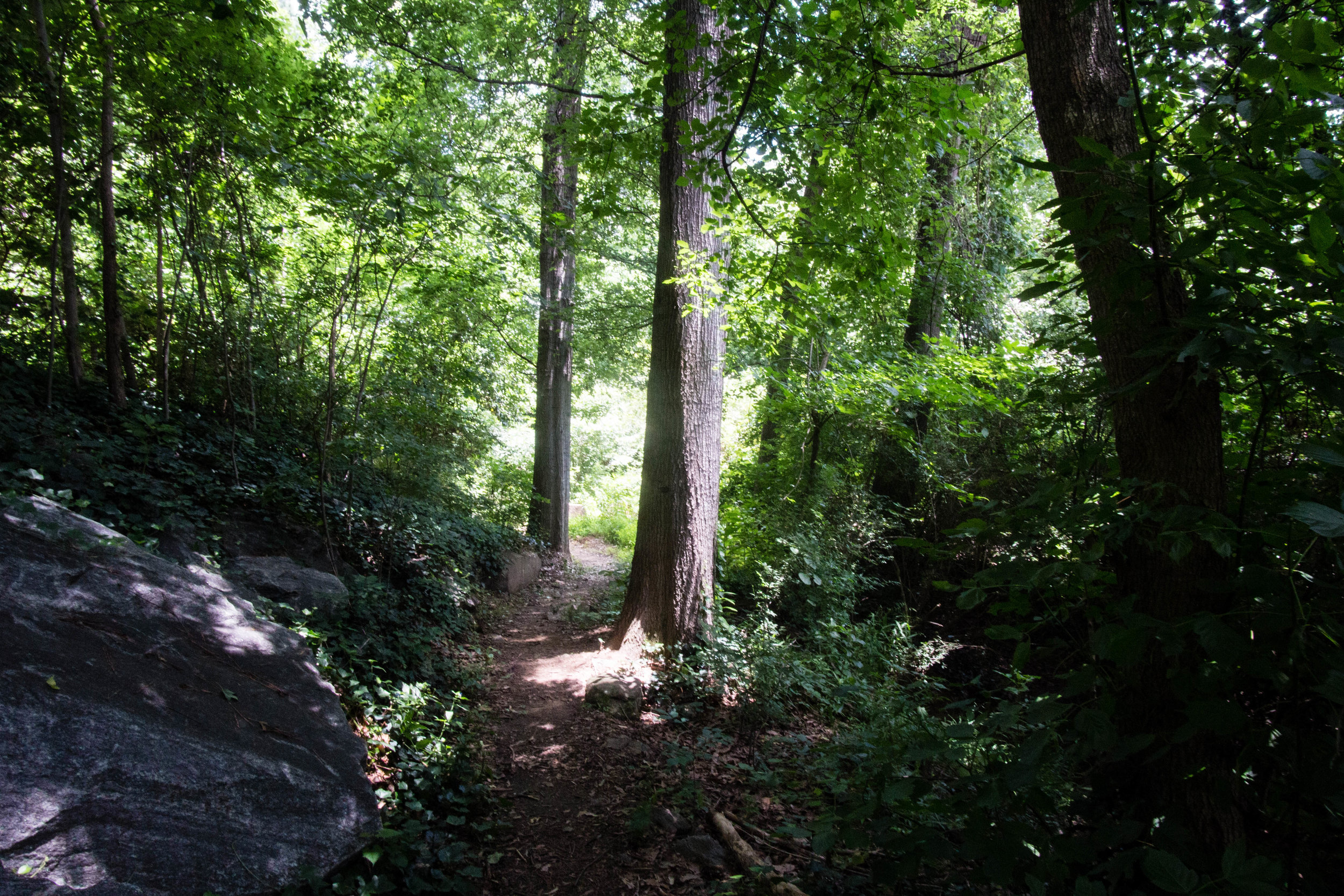
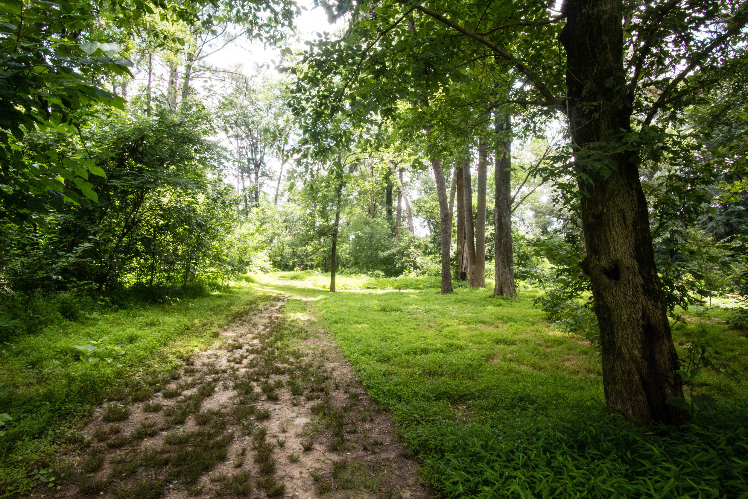
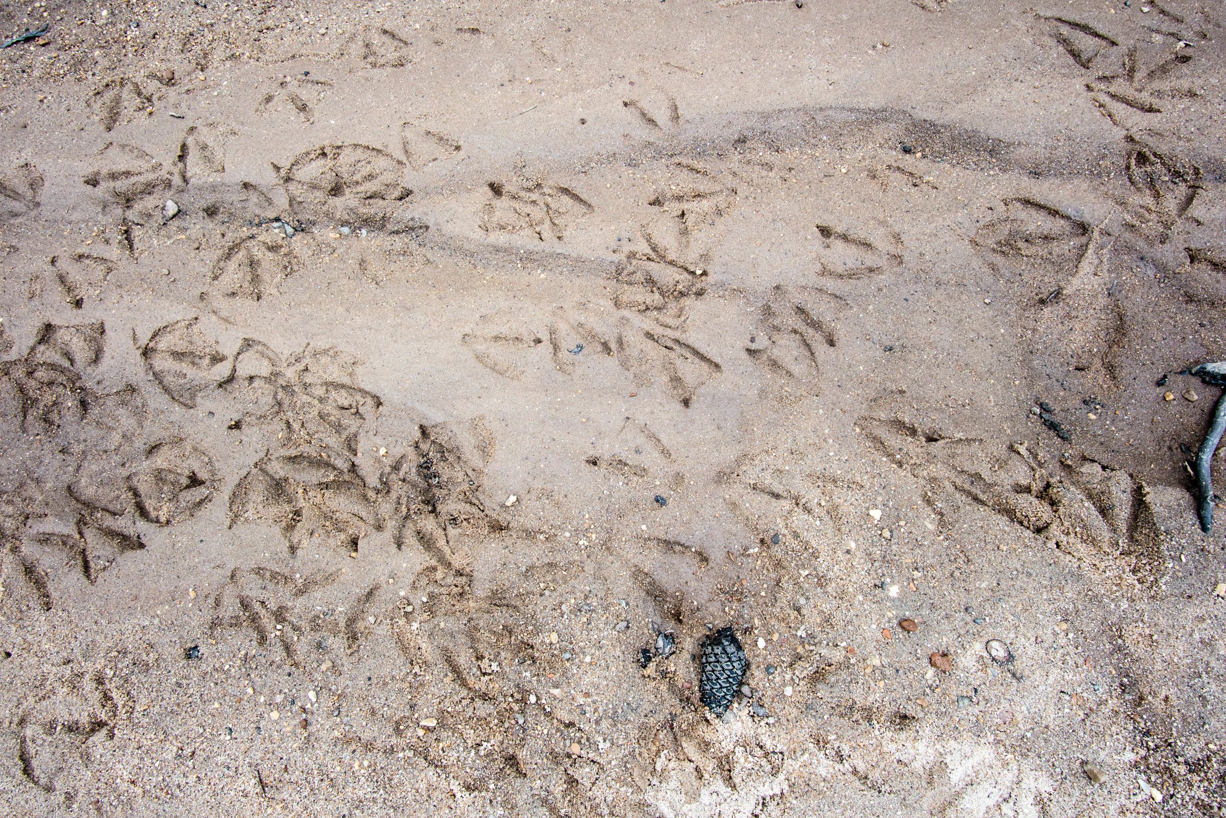
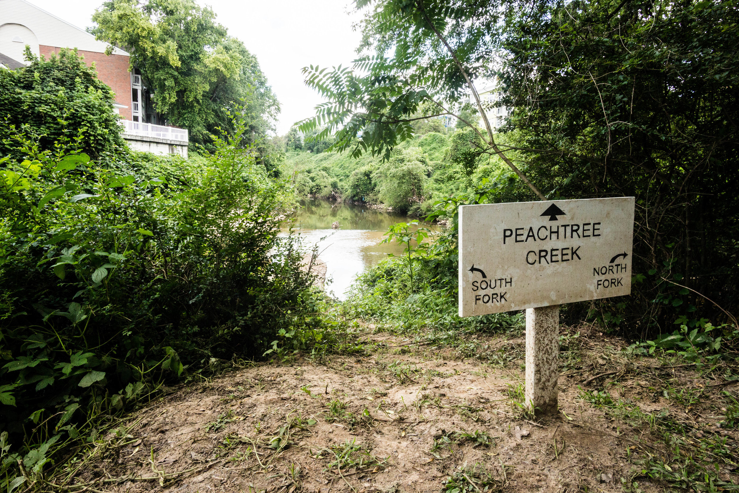
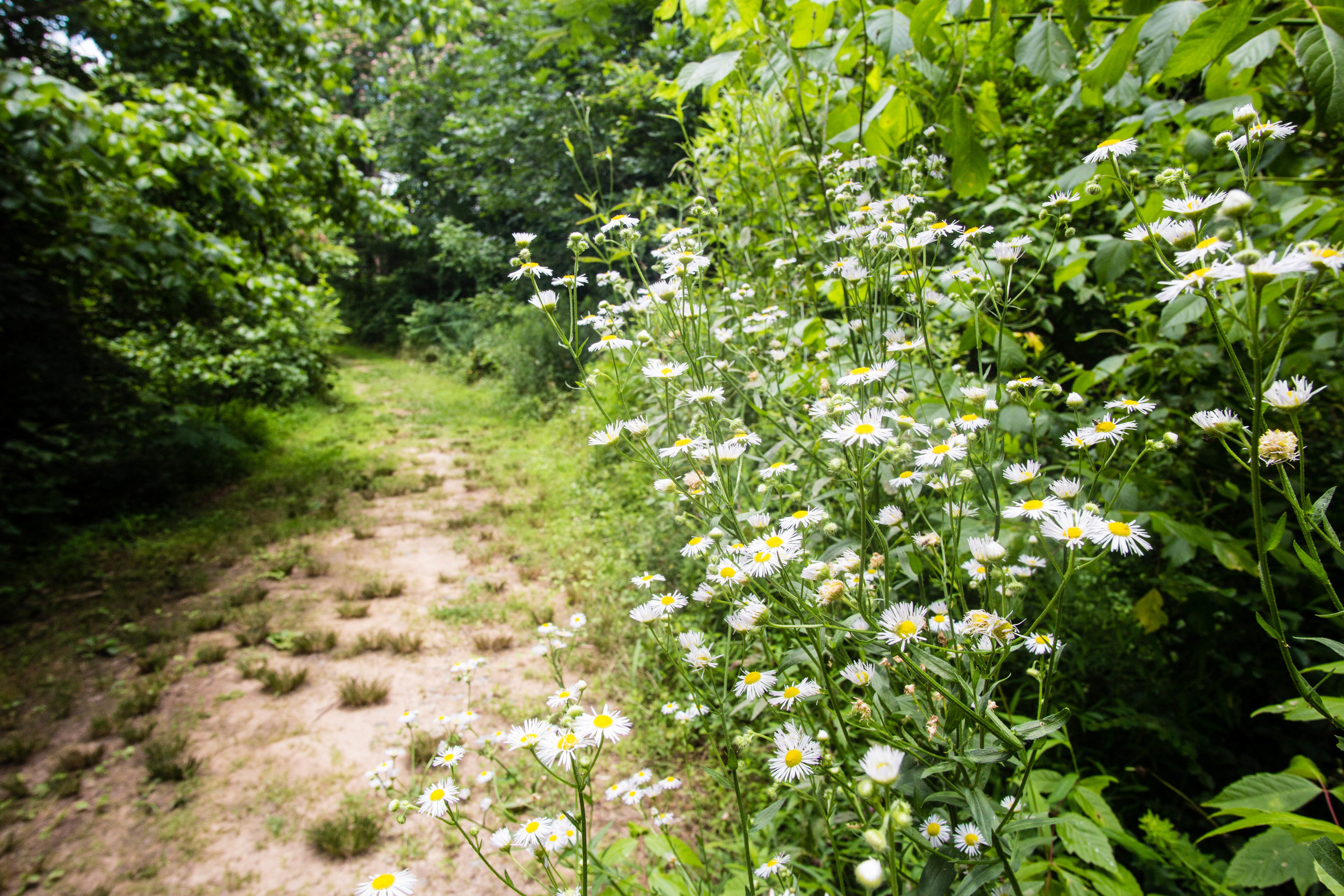
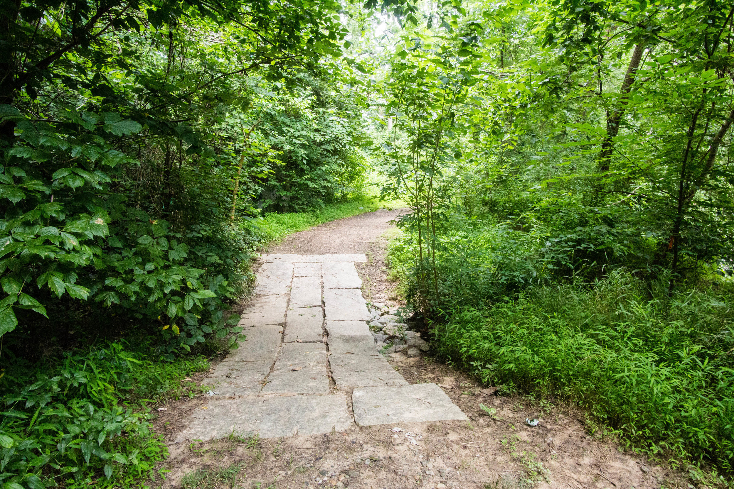
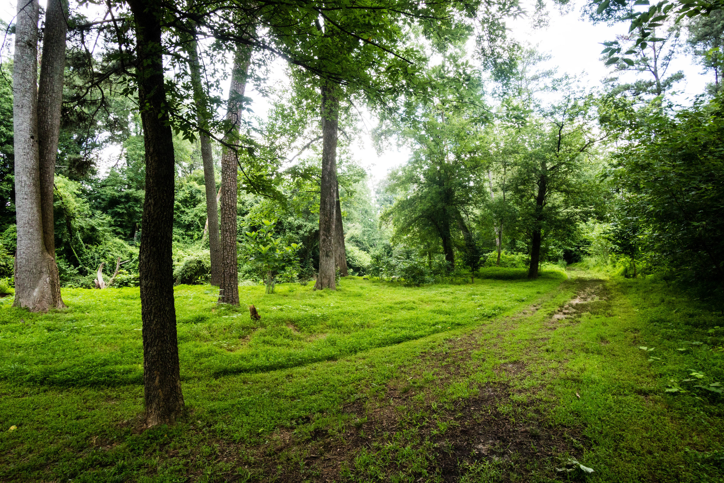
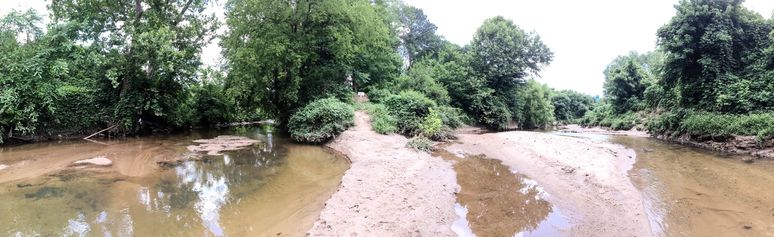
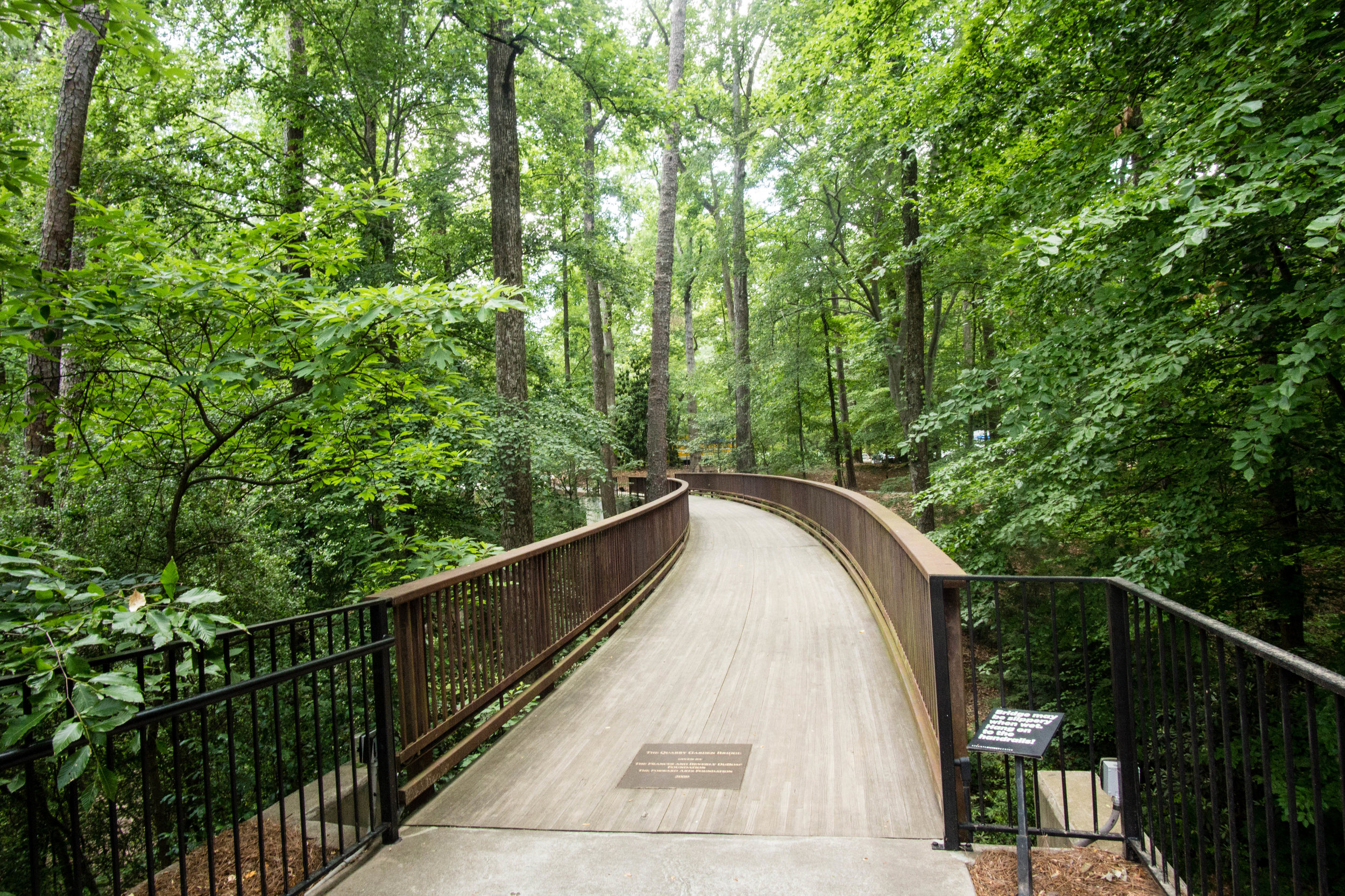
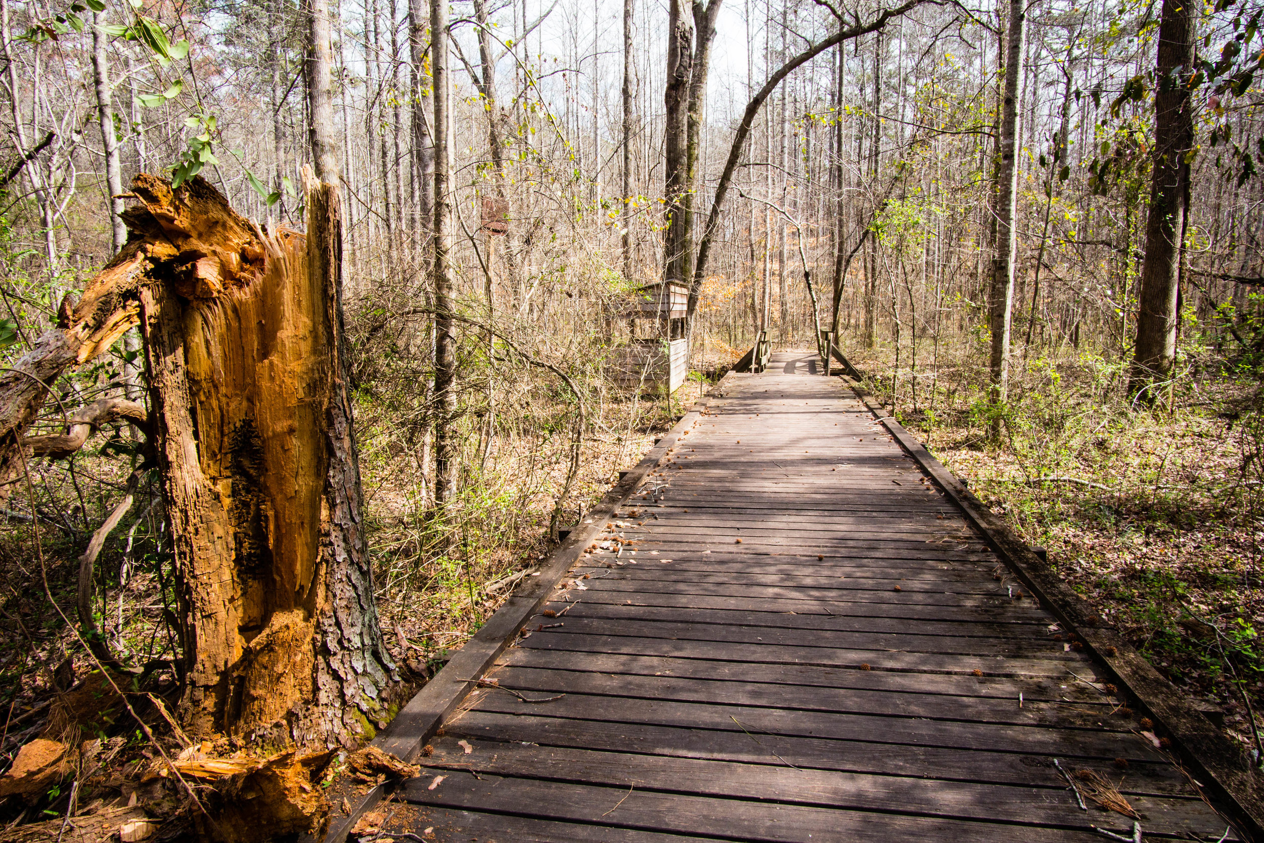
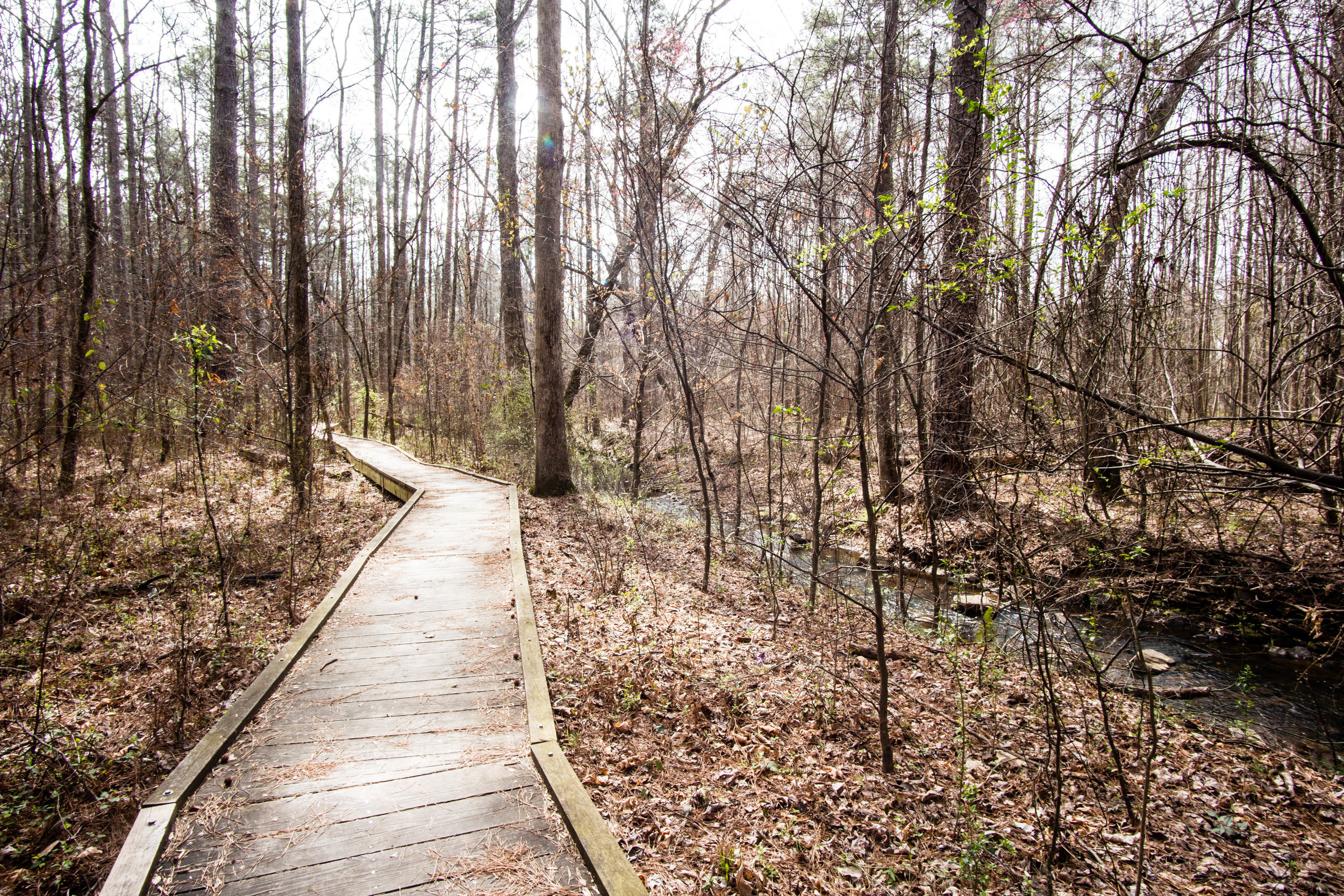
Trail surface: Some paved & boardwalk; some natural
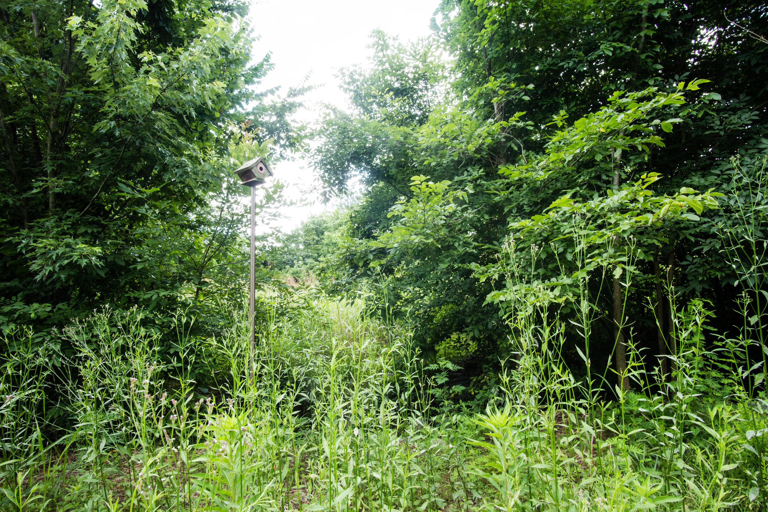
Blazes/markings: Unpaved trails are unmarked
Restrooms: There are restrooms next to the parking lot and also some next to the amphitheater
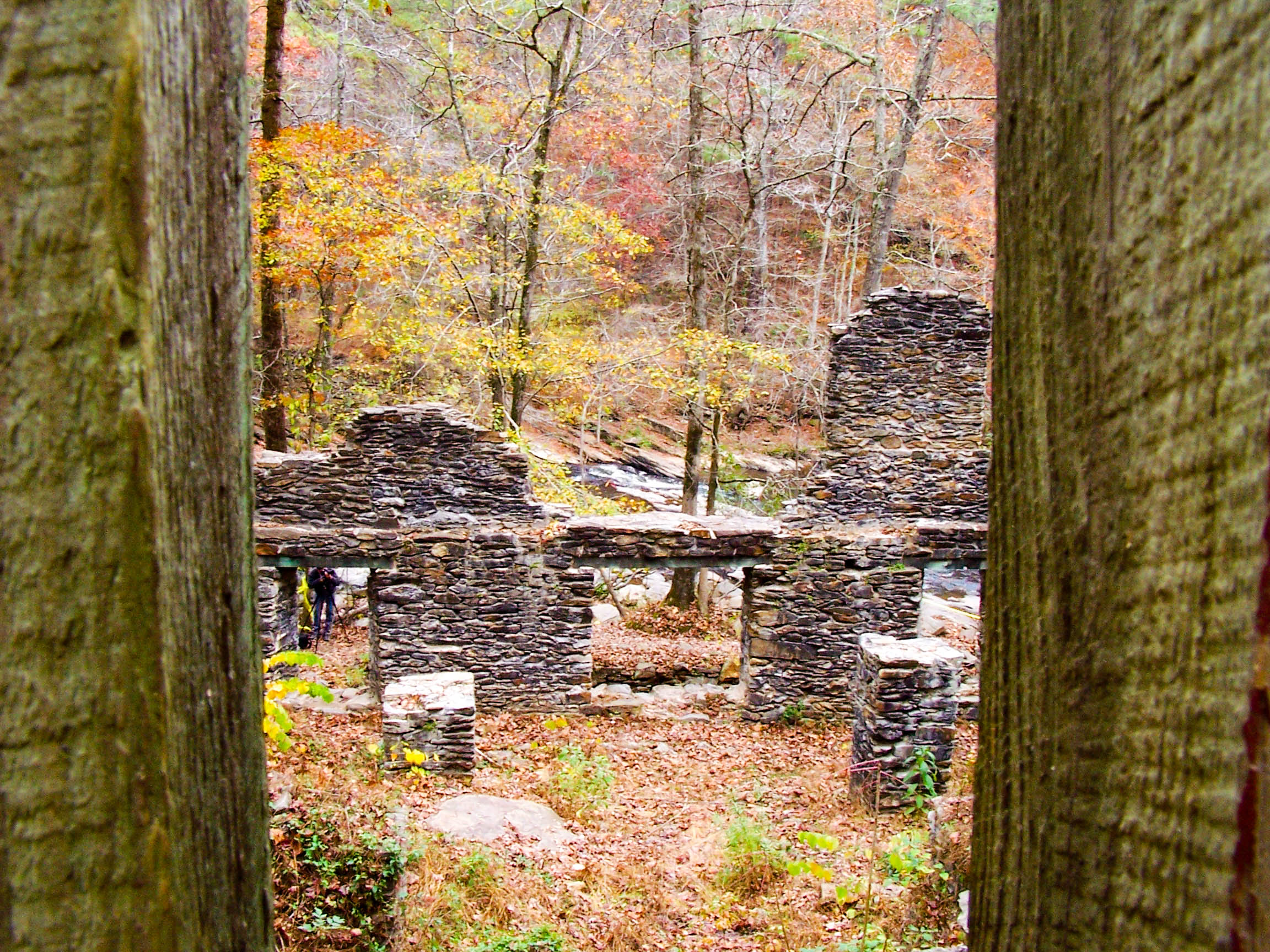
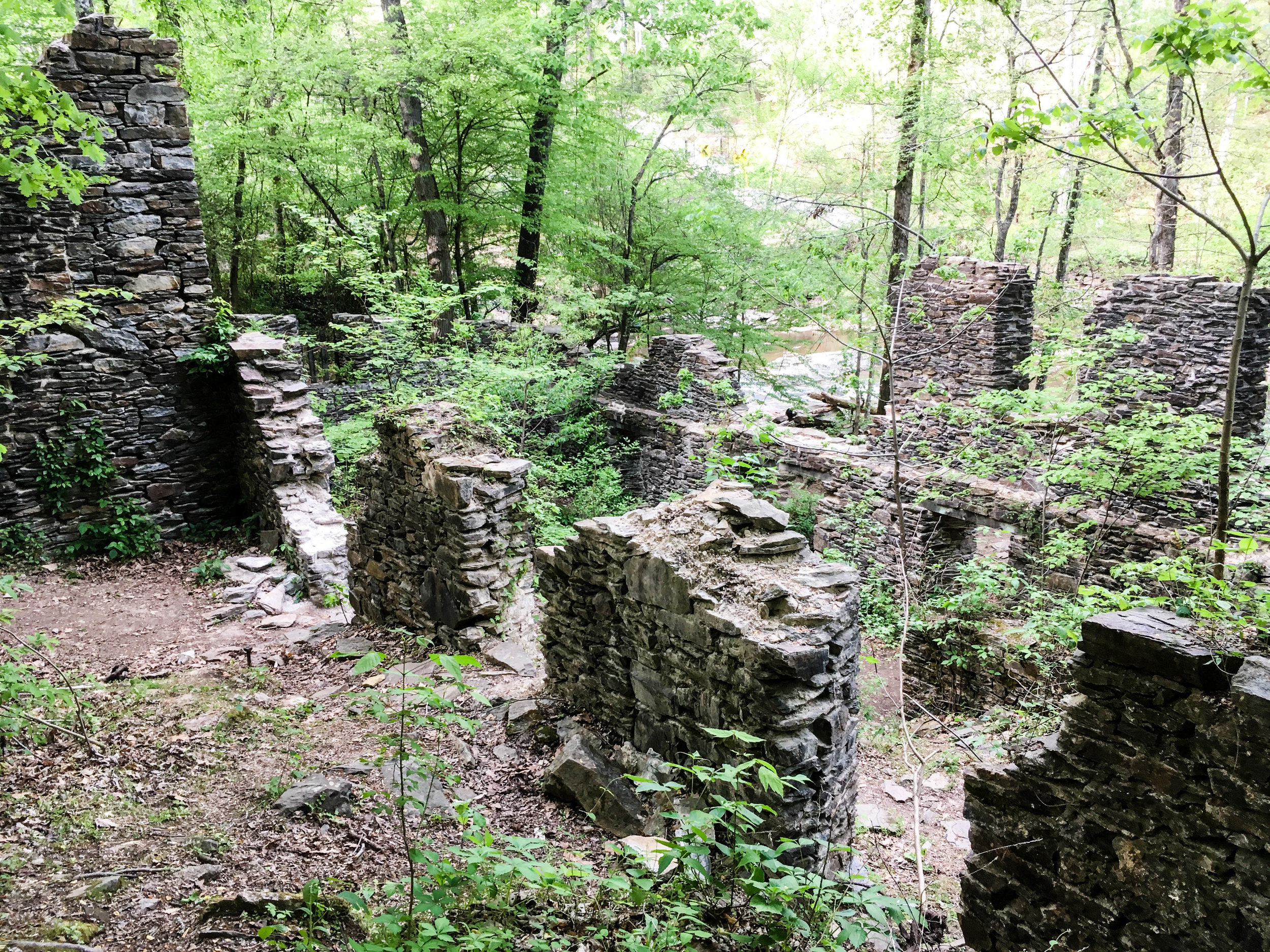
Guidebook mentions: None
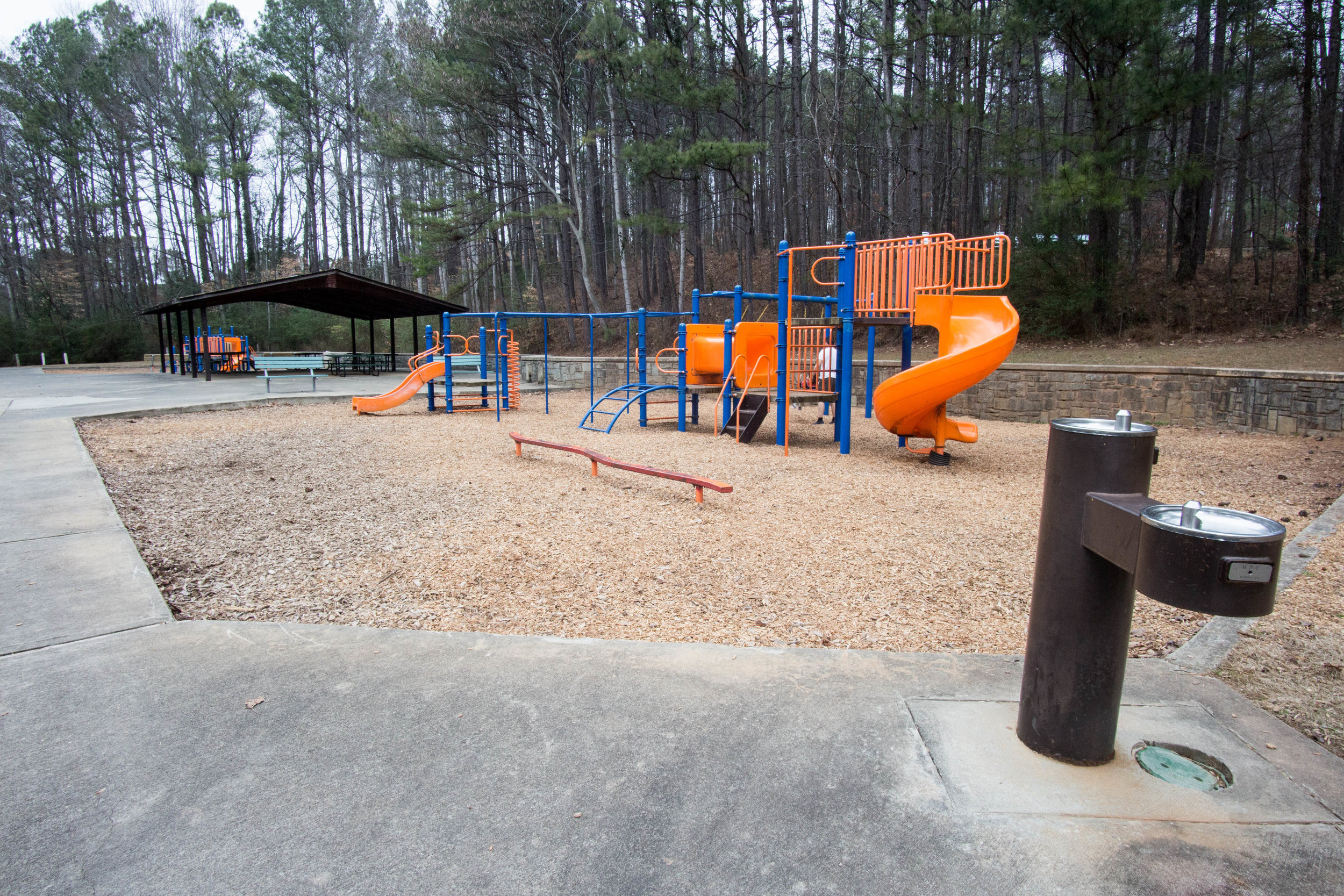
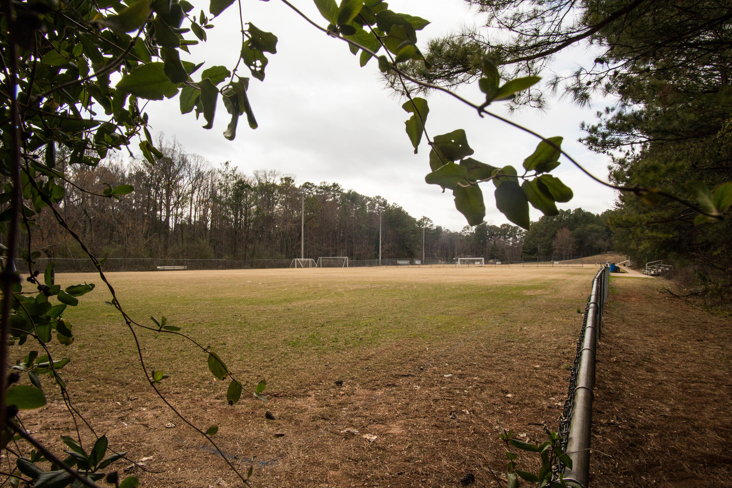
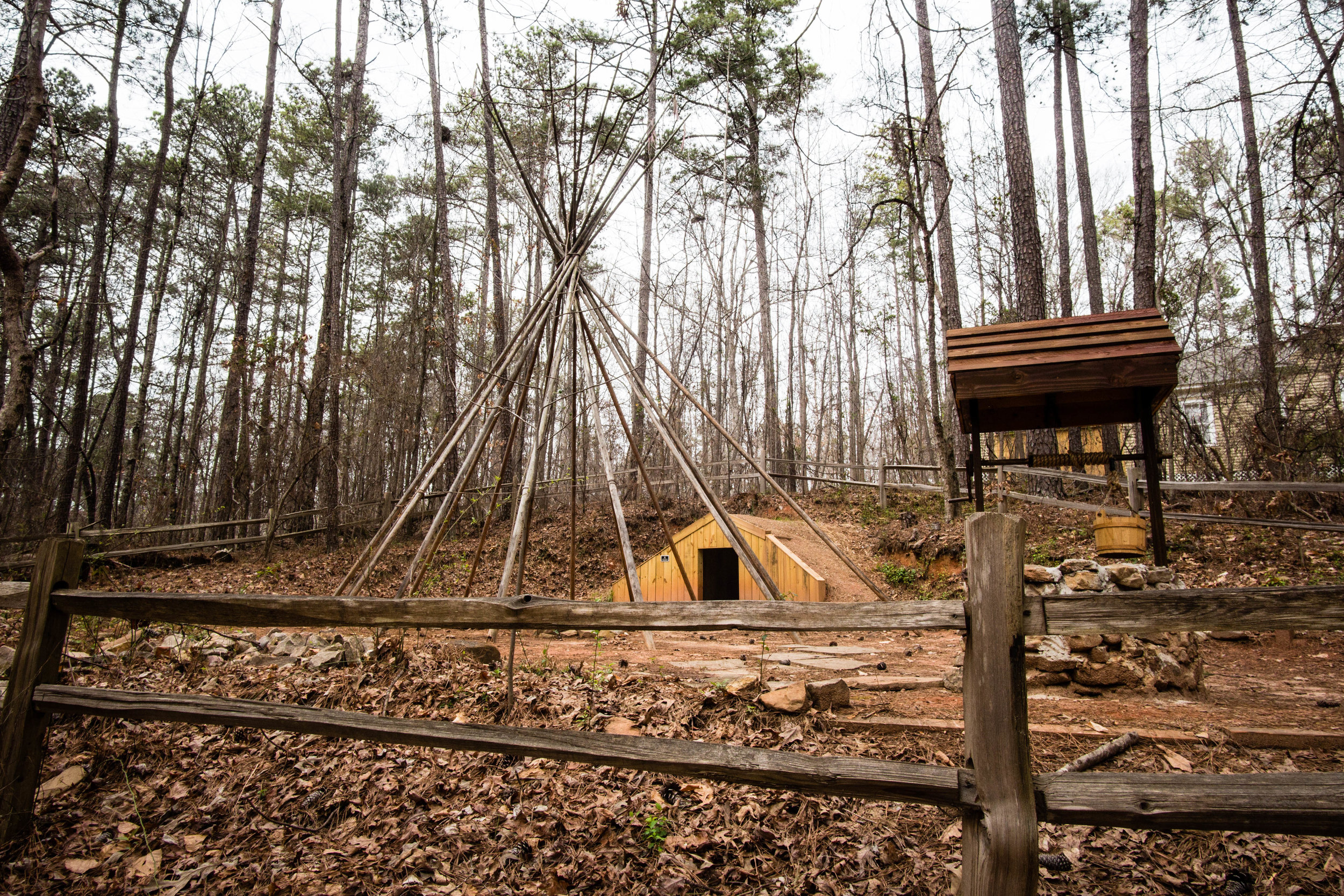
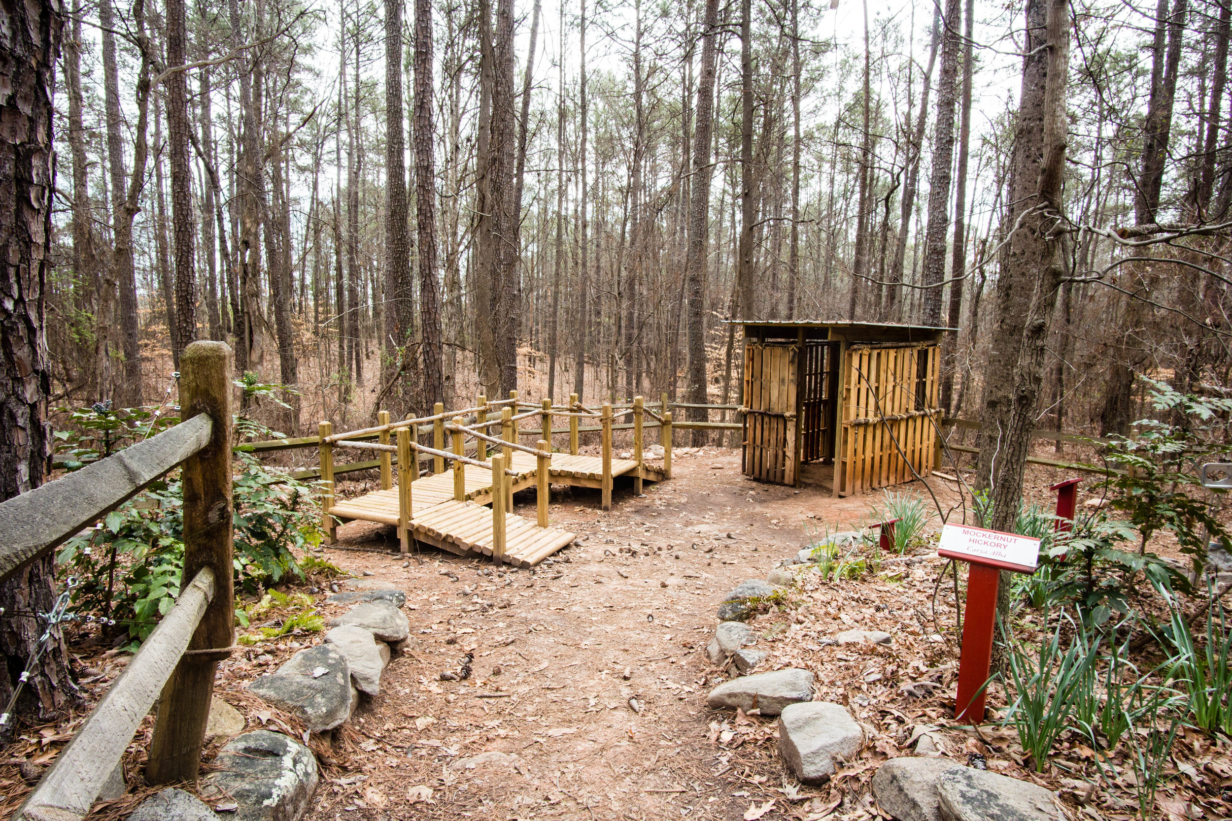
Amenities:
Restrooms
Picnic tables
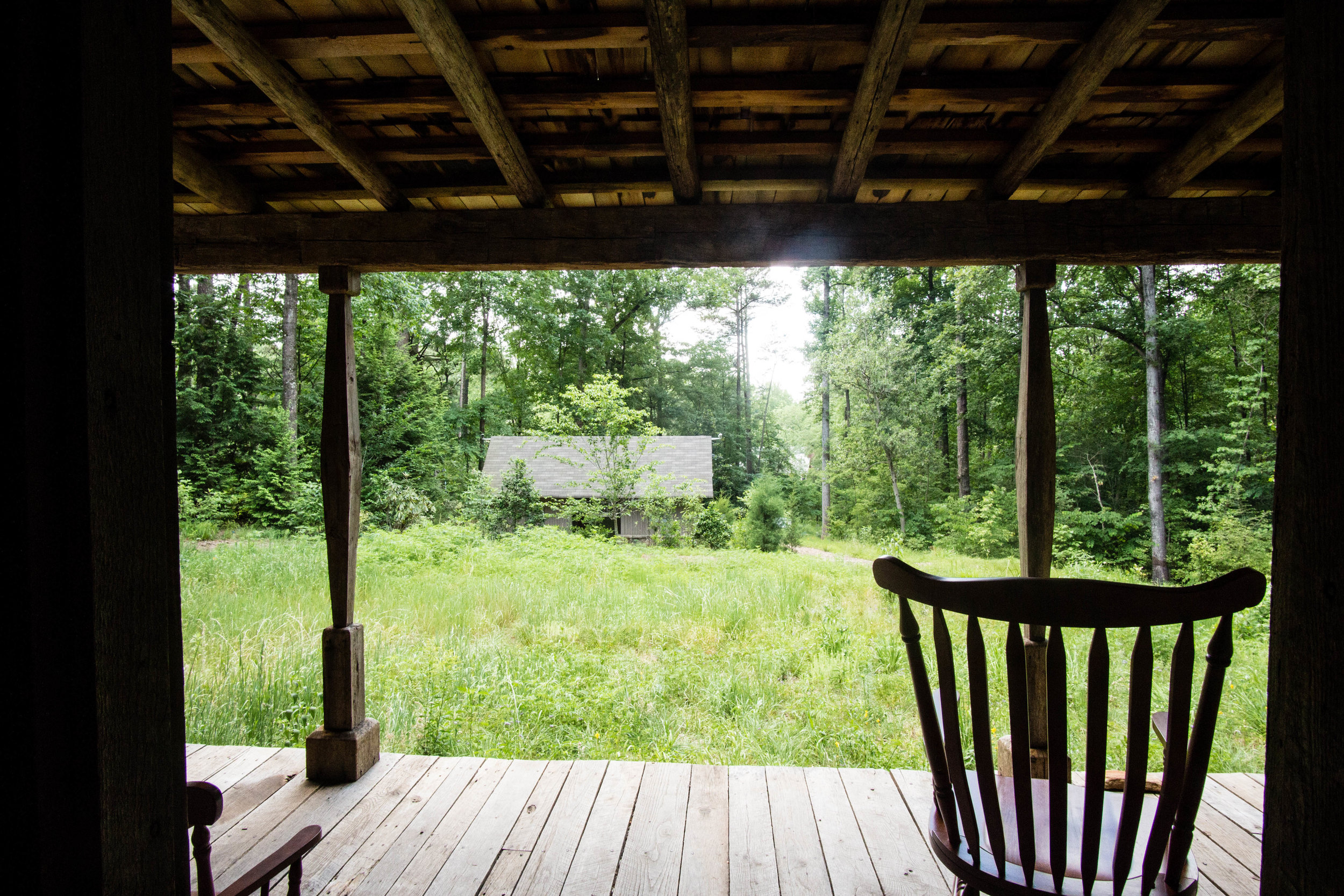
Covered amphitheater/outdoor classroom
Bottle fill stations & water fountains by restrooms
Nearby amenities/conveniences:
Refuge Coffee Co. is 0.5 miles southwest of the wildlife sanctuary
Links:
More photos on Flickr:

From around the web
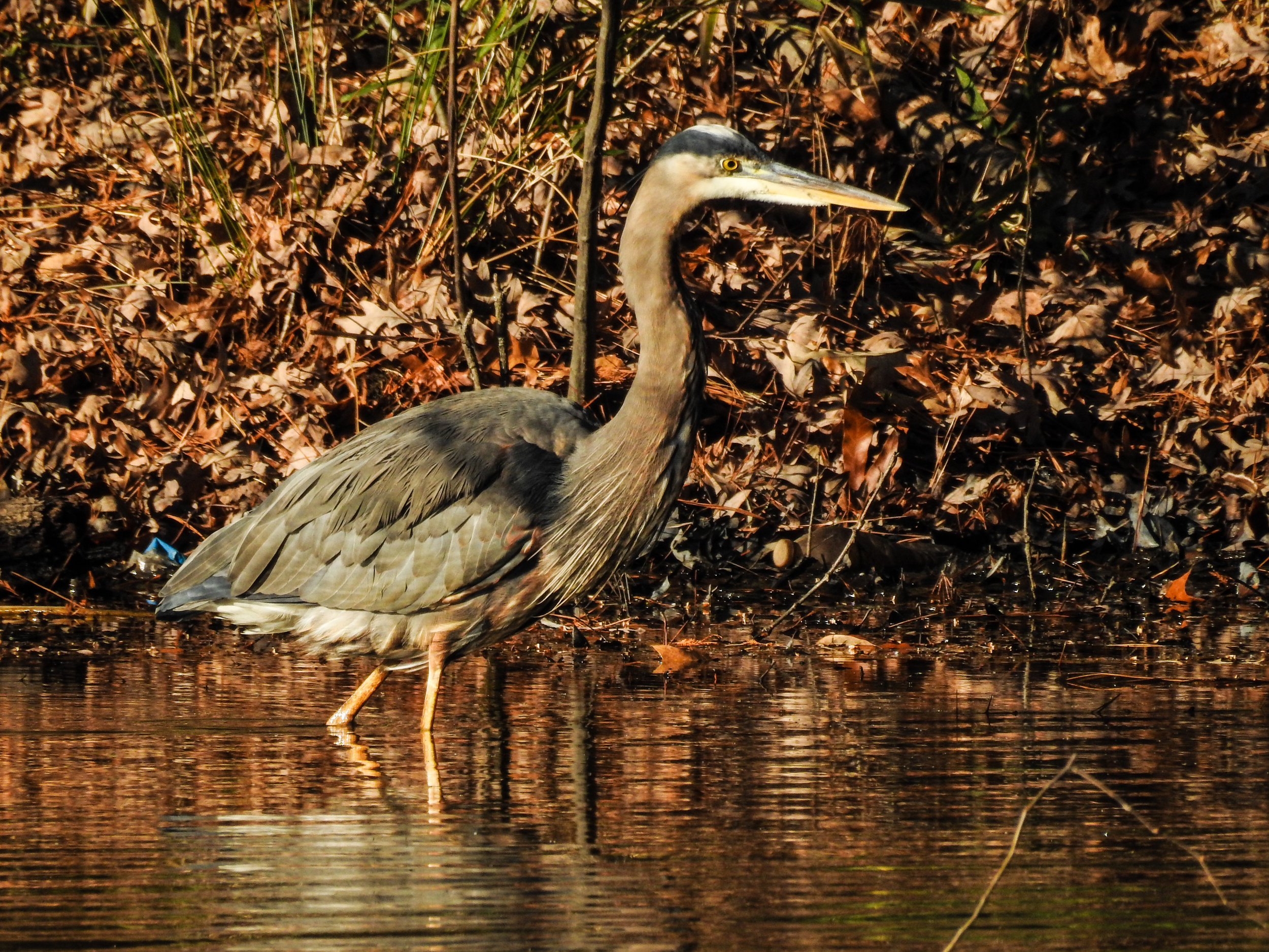
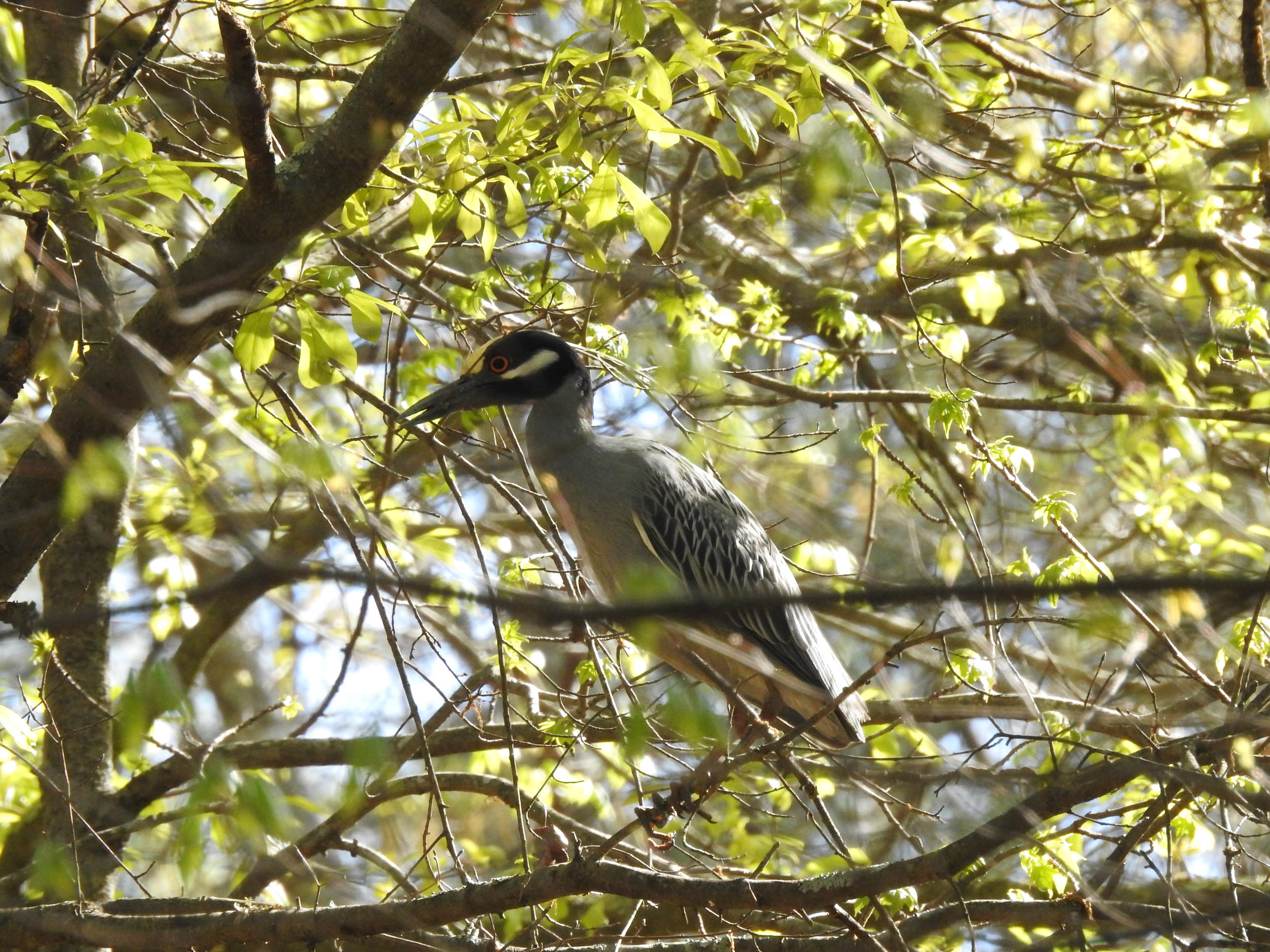
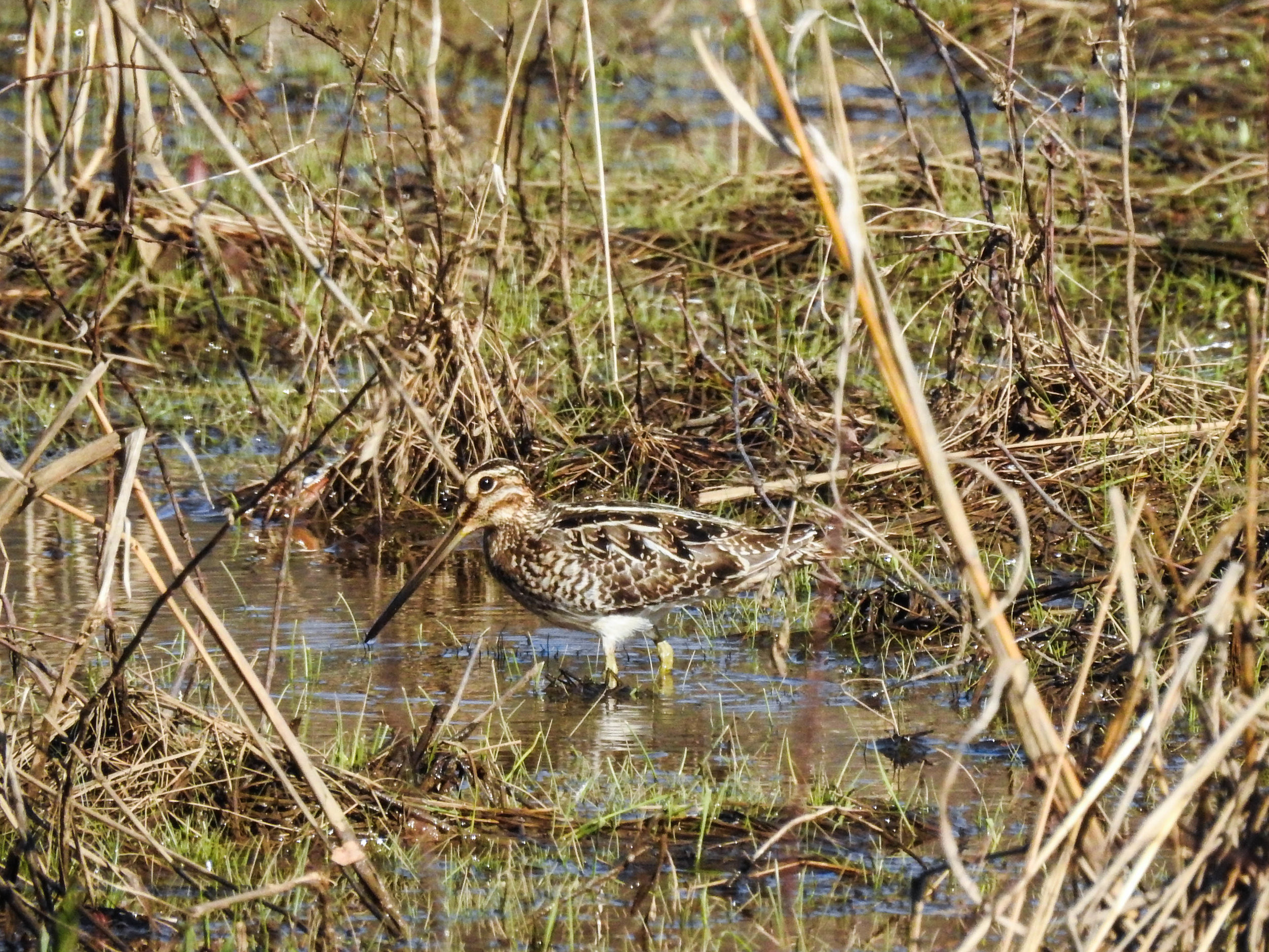
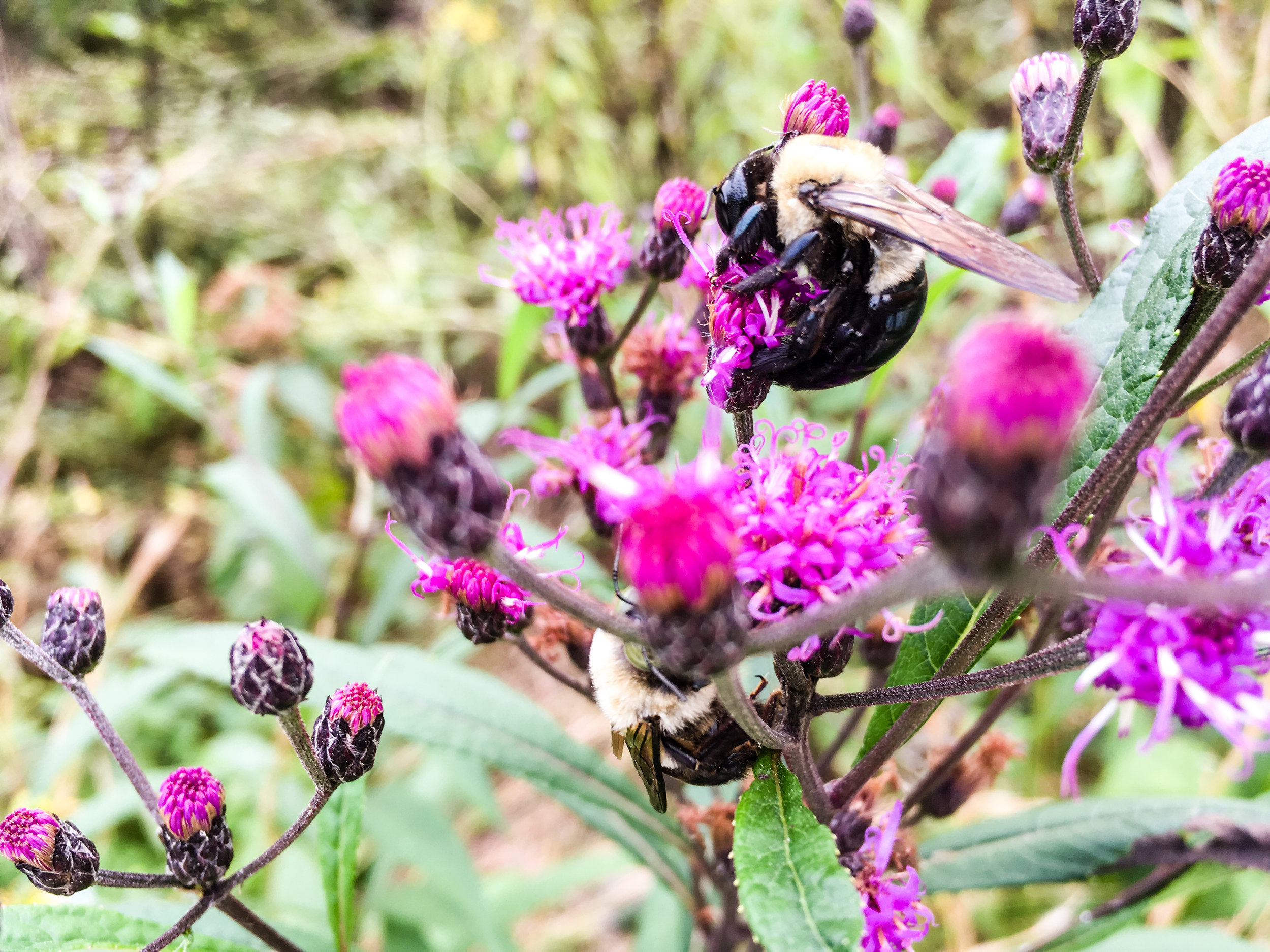
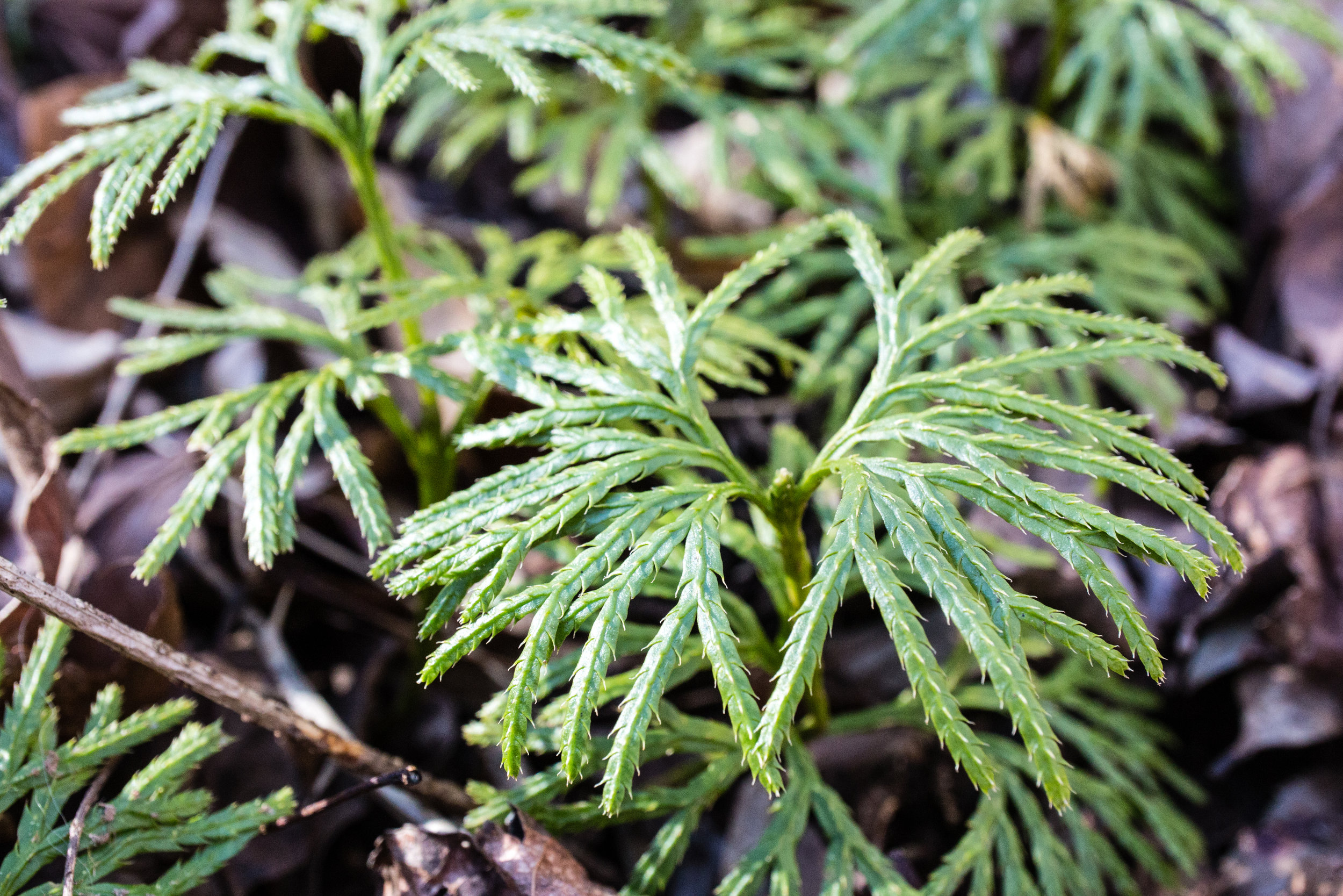
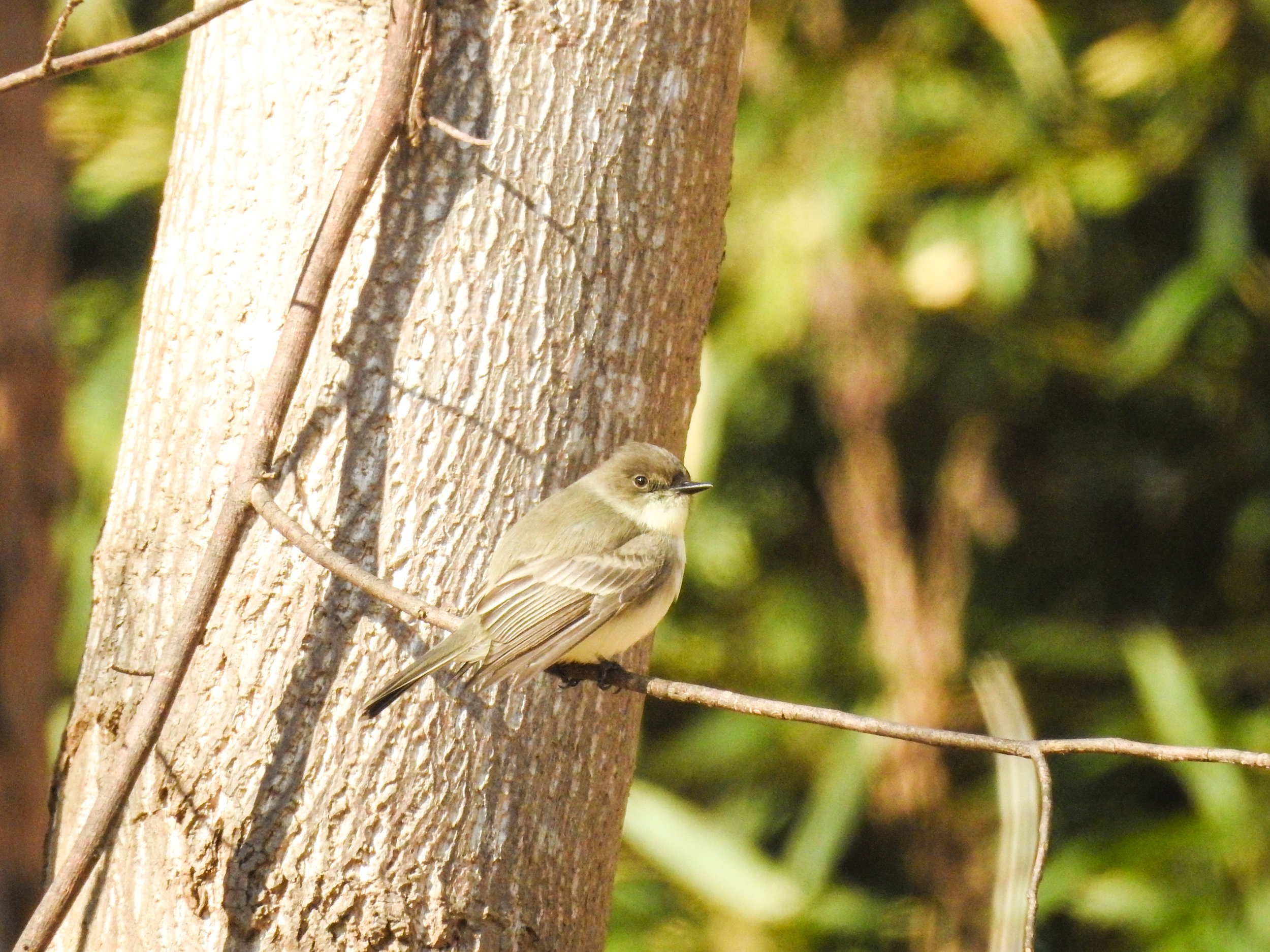
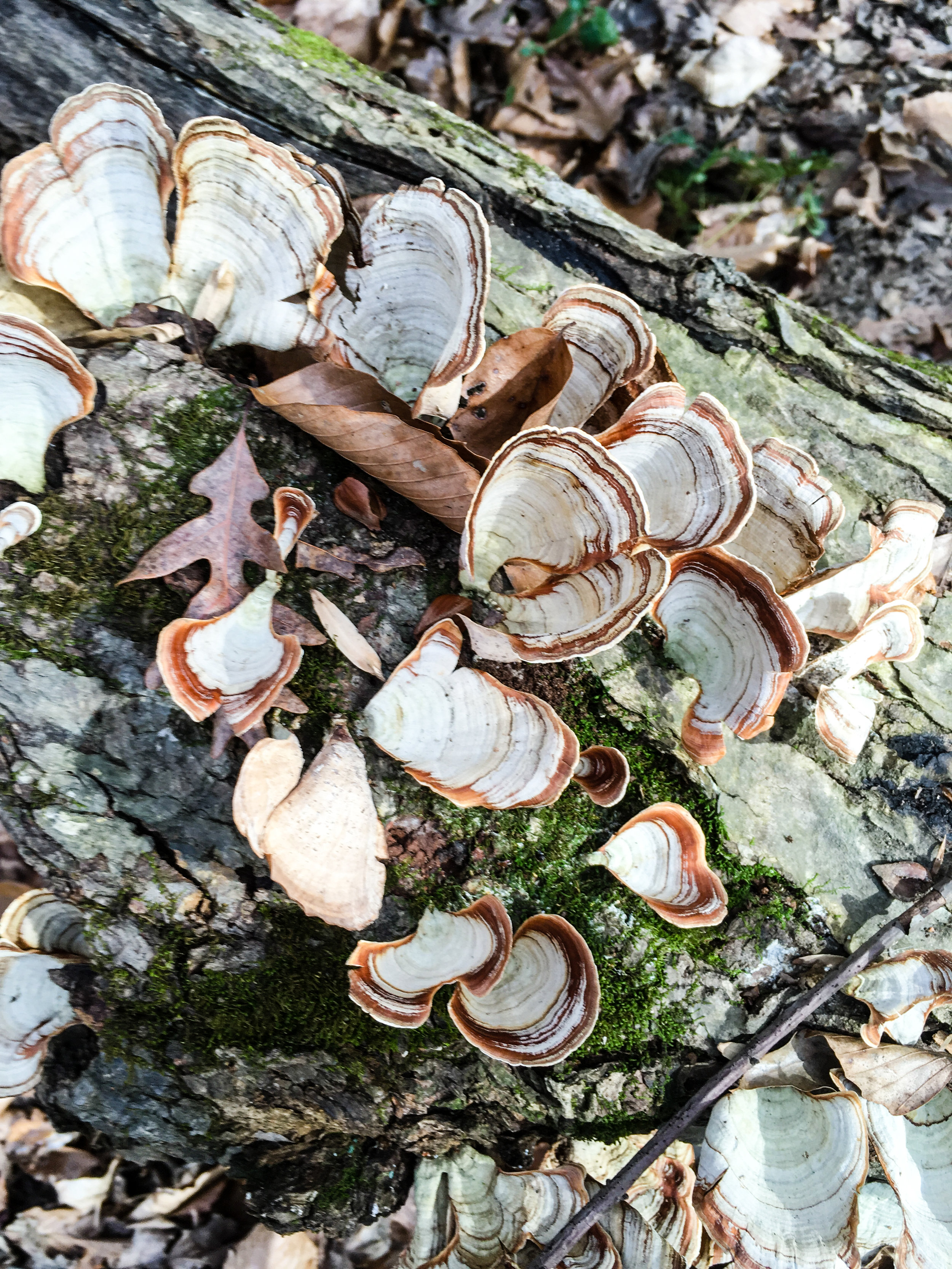
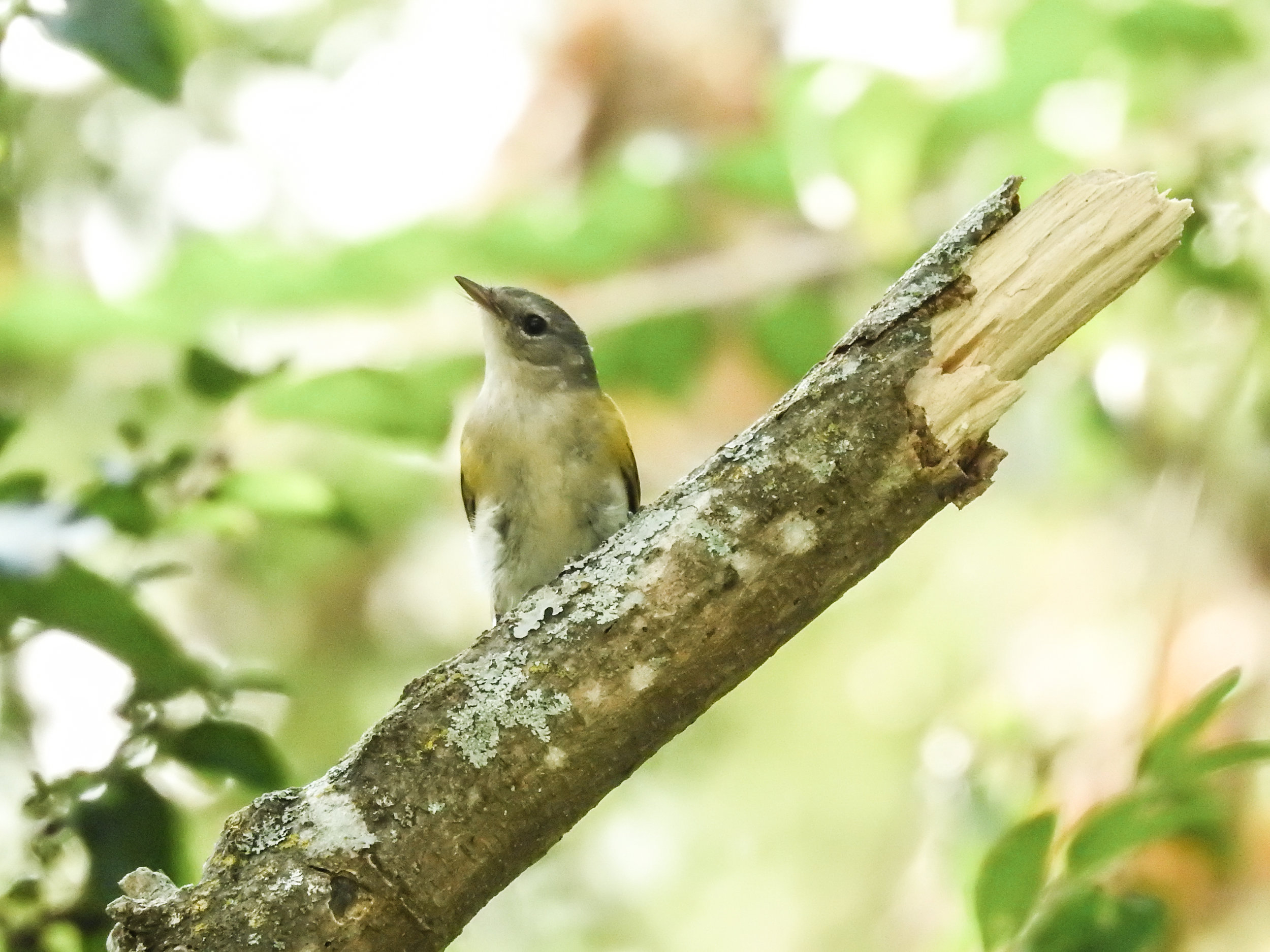
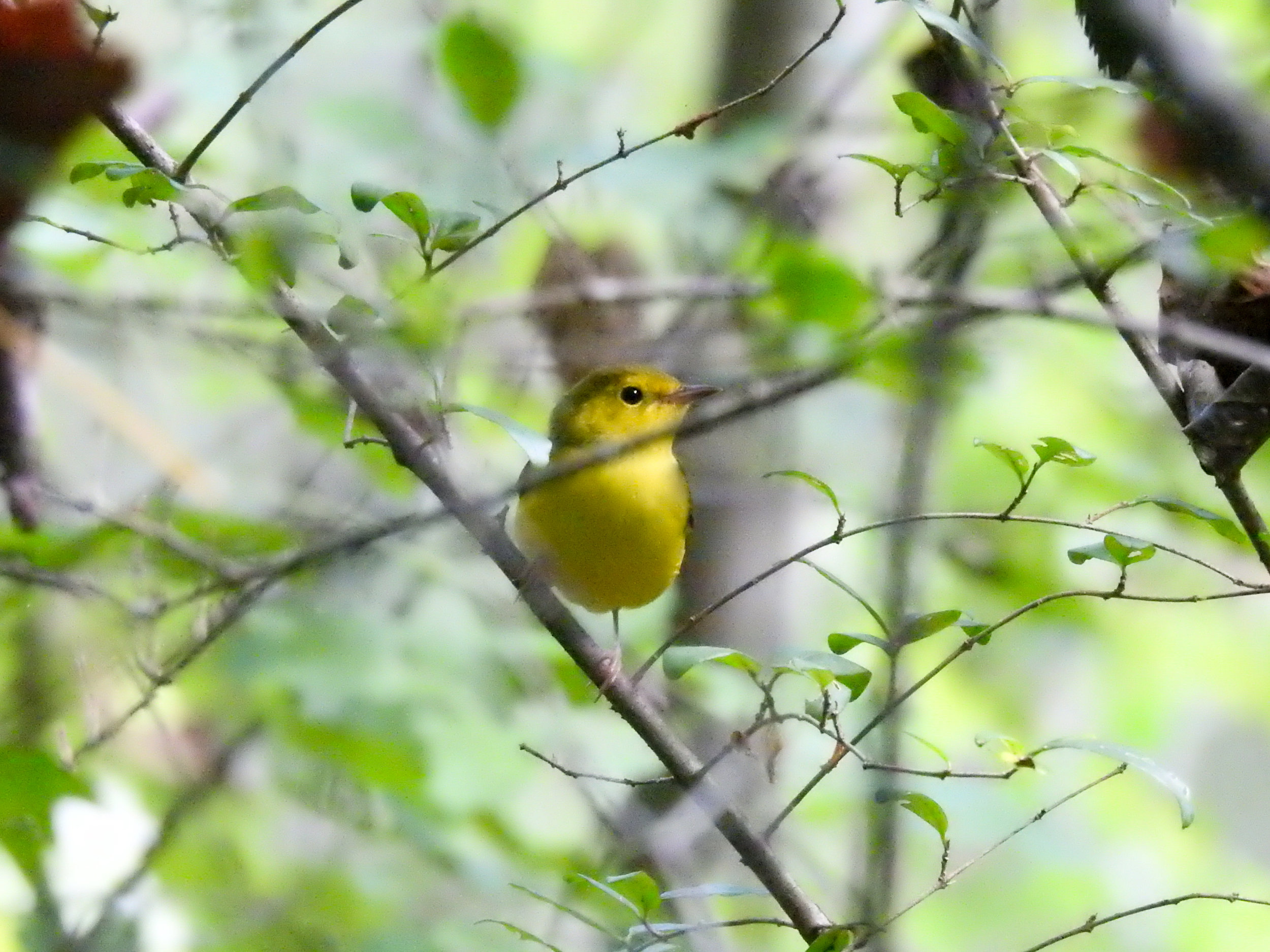
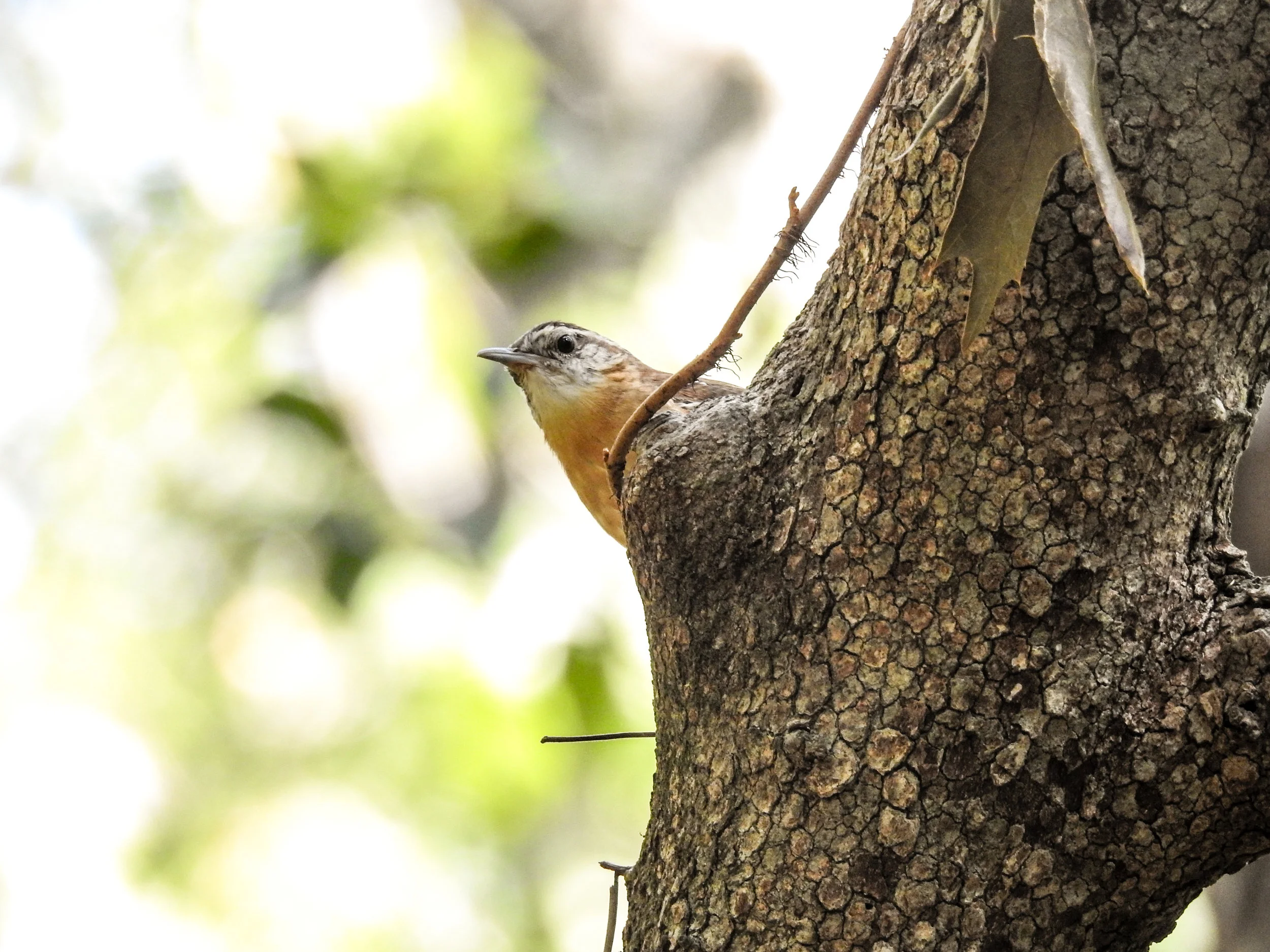
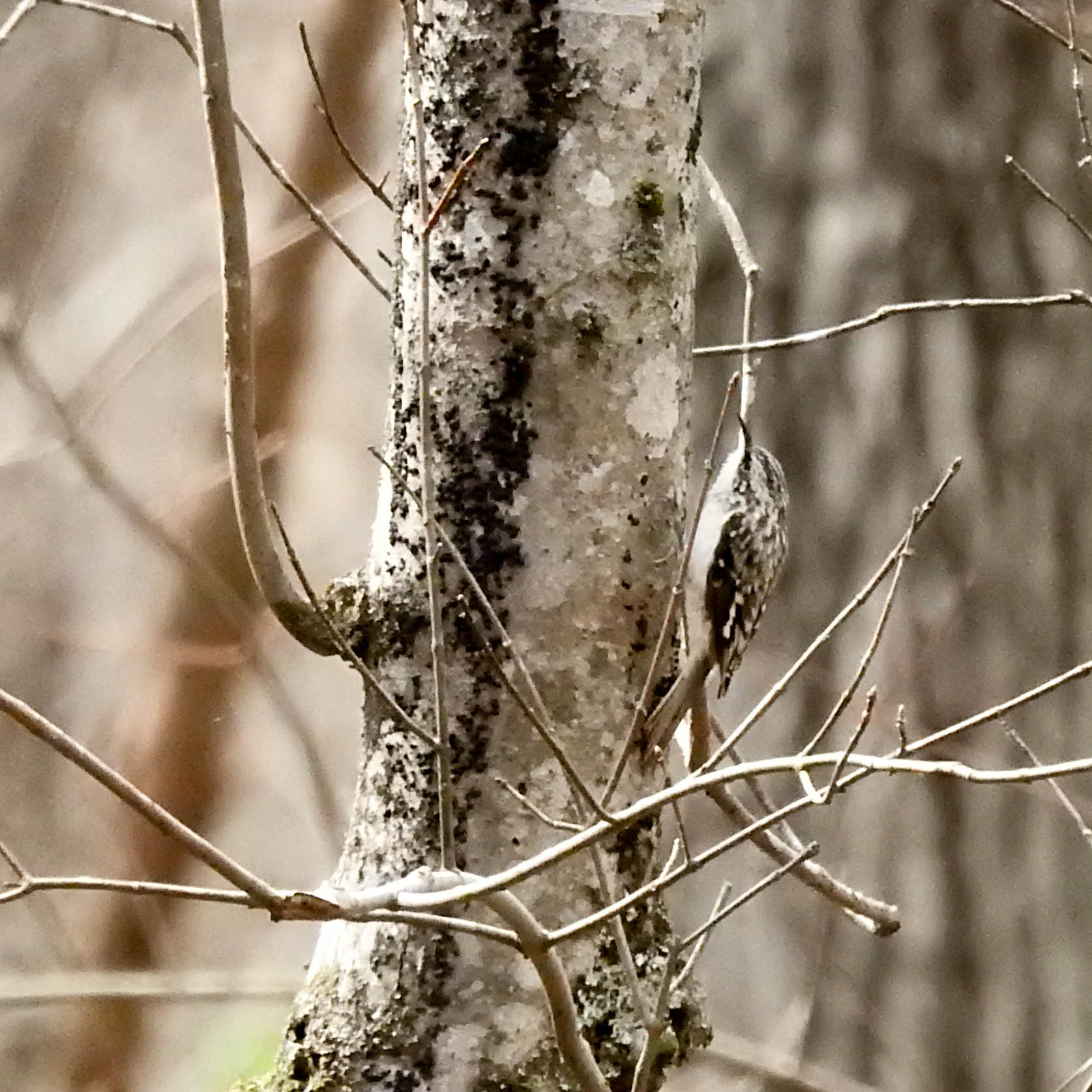
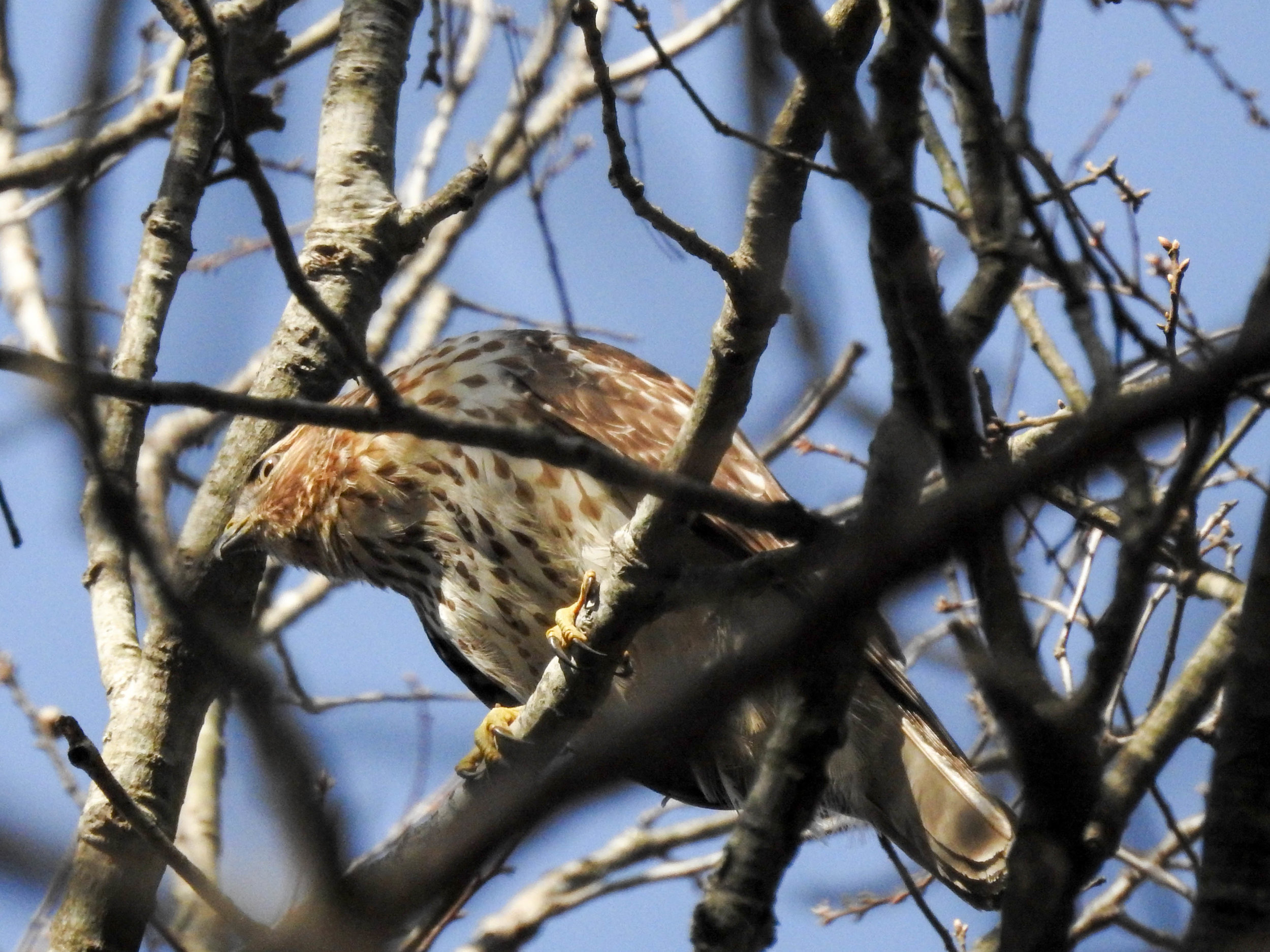
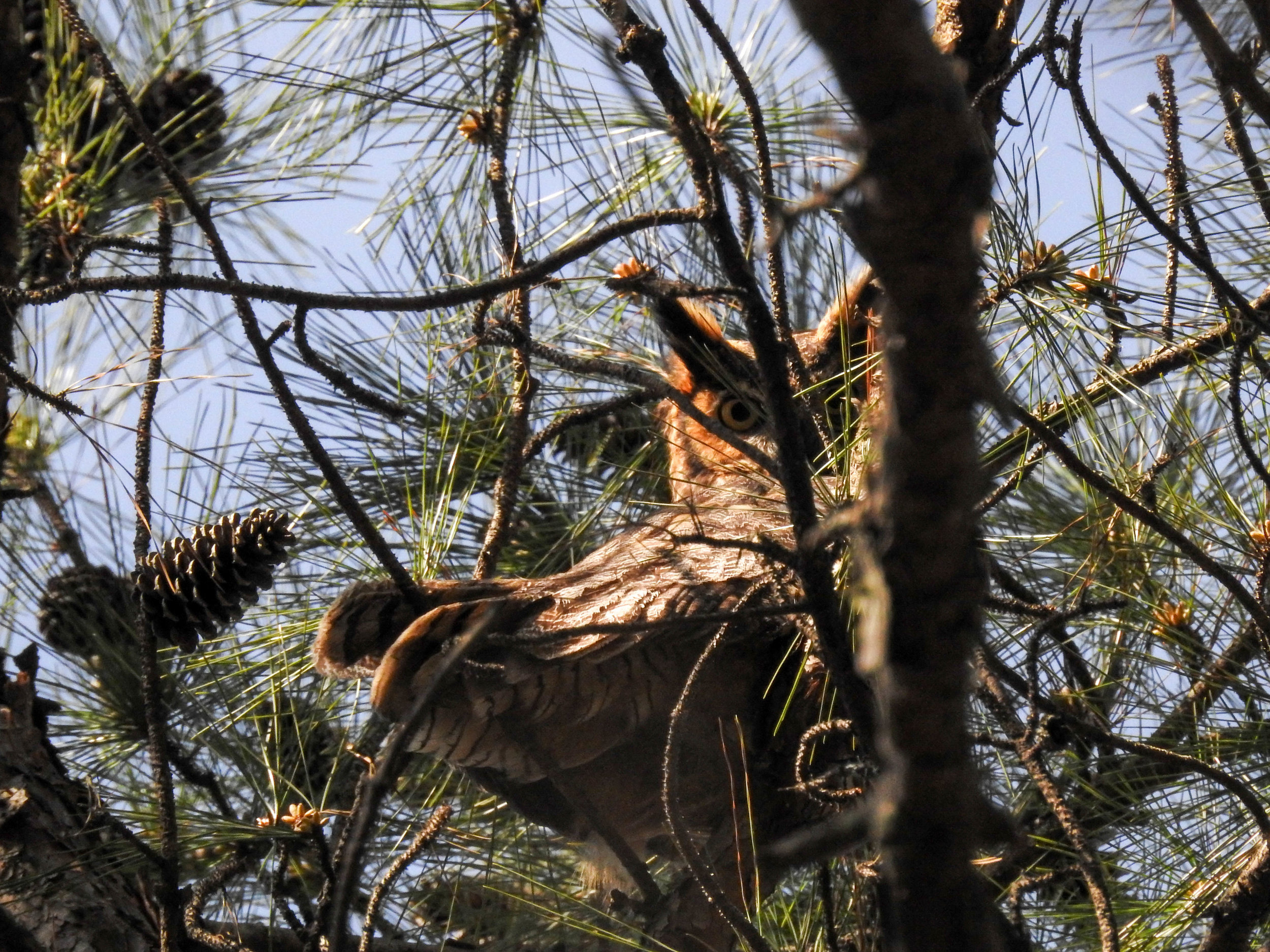
Recent iNaturalist observations
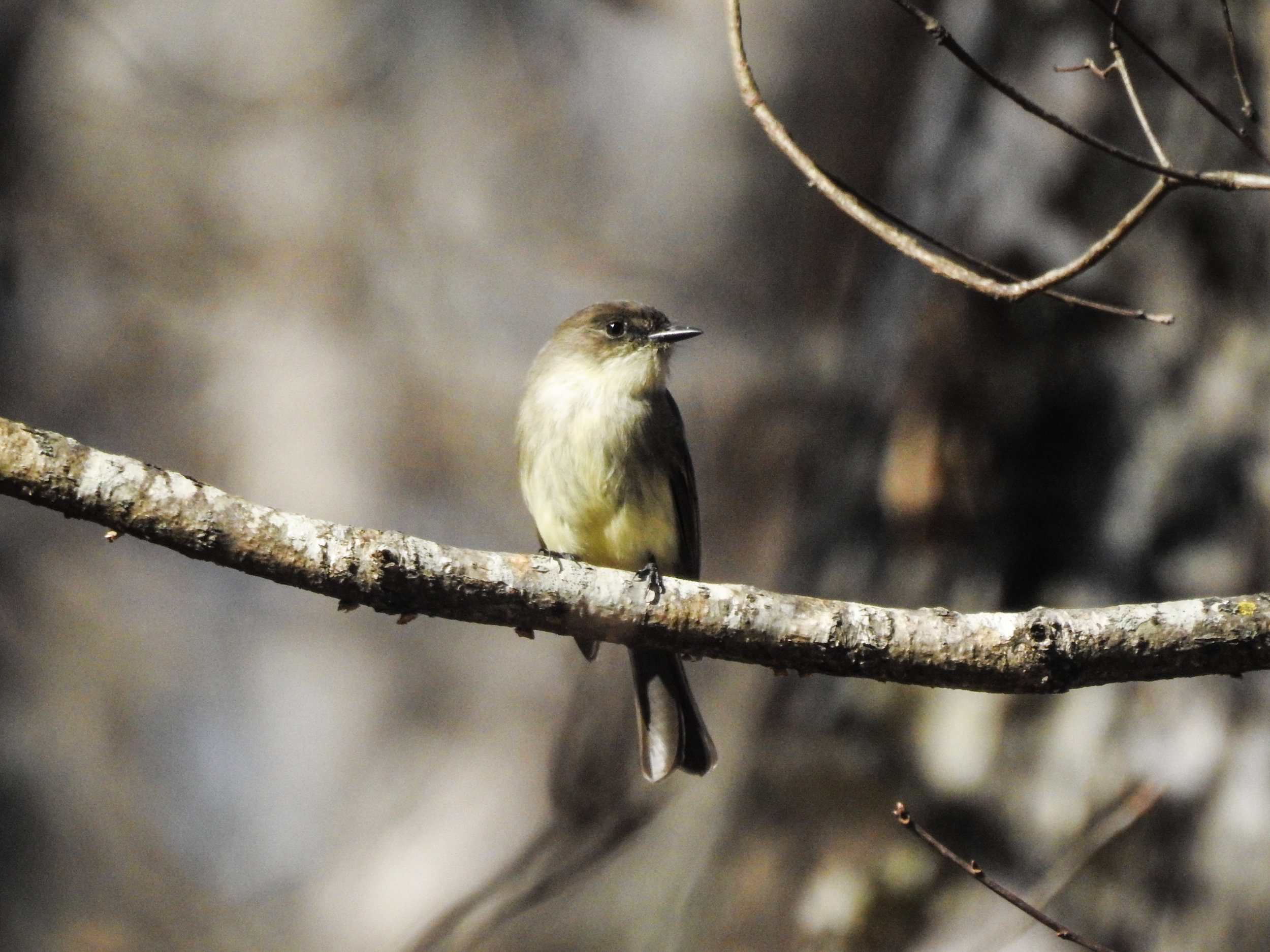
Random eBird sightings from the last 30 days
Good to combine with:


Updated December 21, 2016 and September 26, 2021