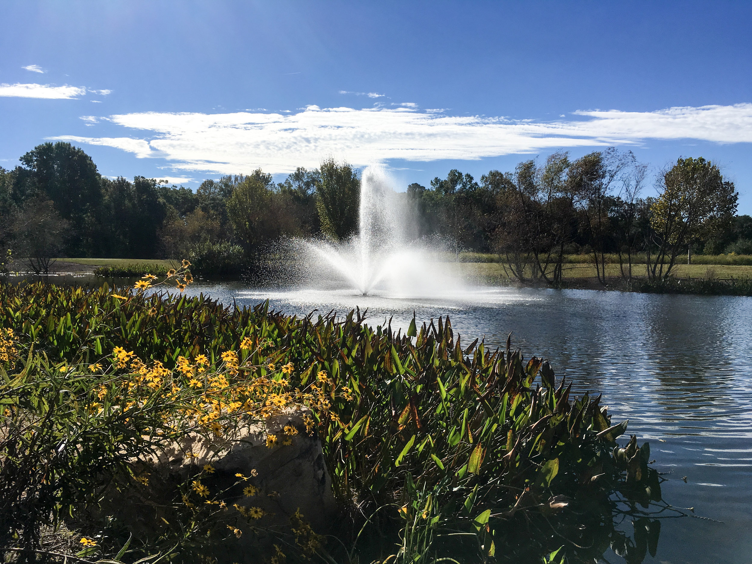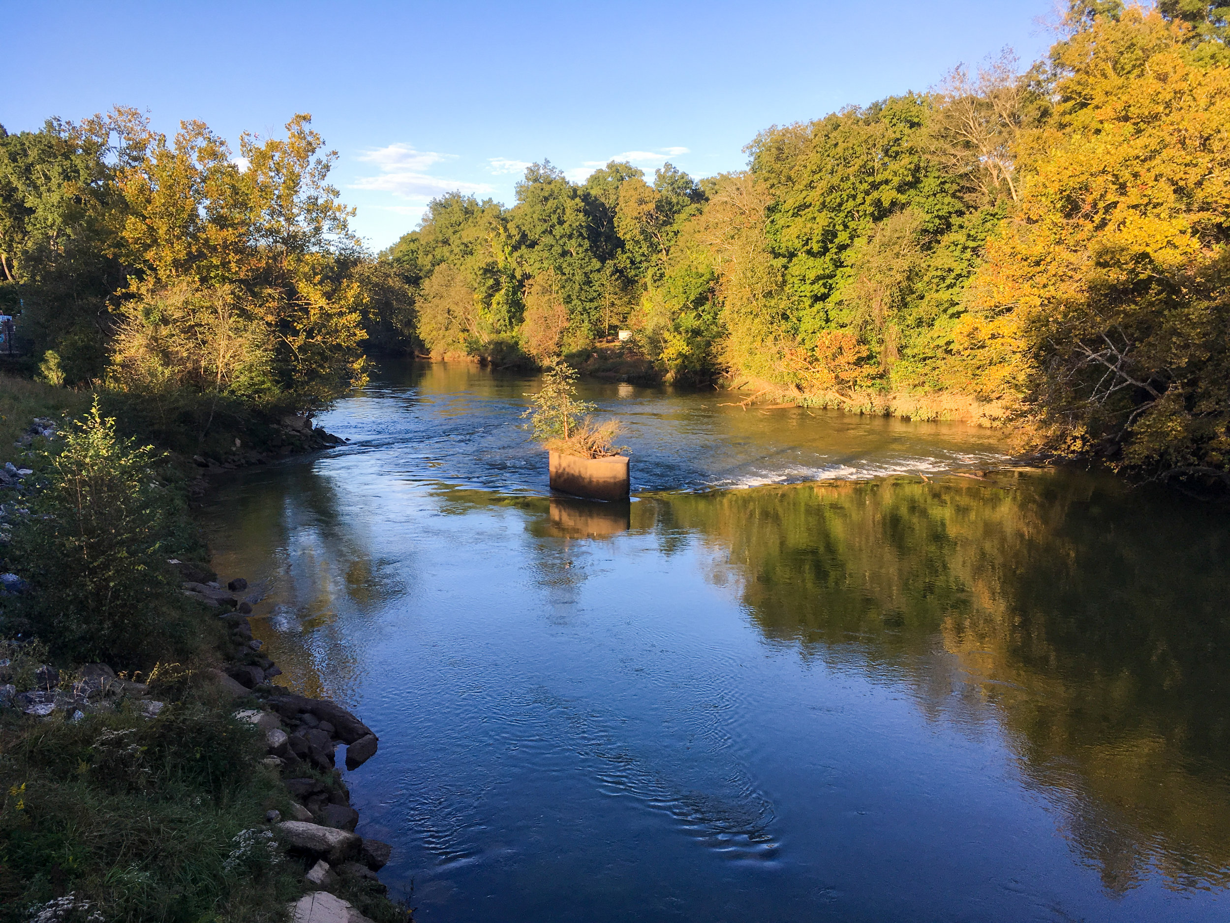
Chattahoochee River National Recreation Area: Jones Bridge
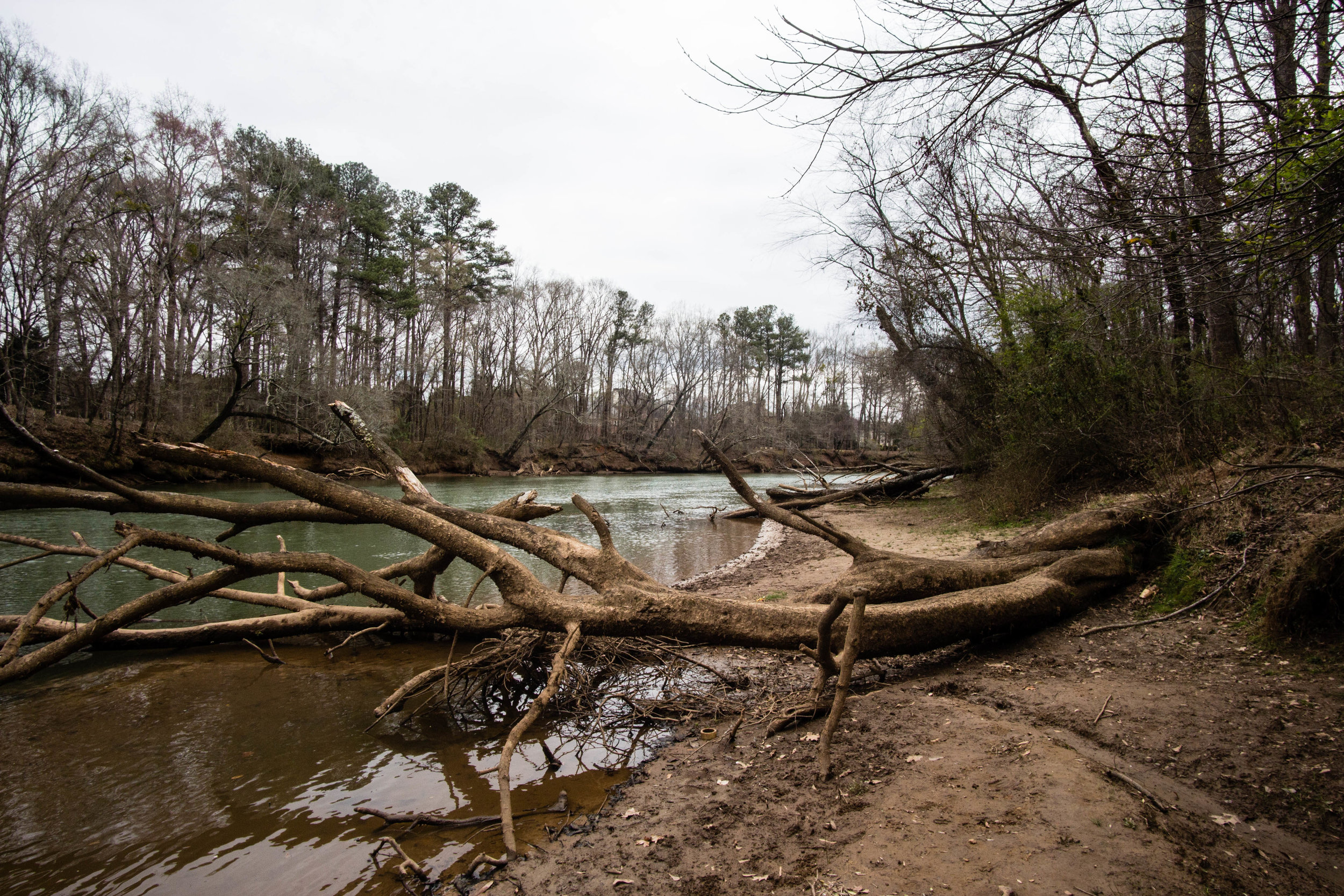
Jones Bridge (formerly Jones Ferry) was constructed in 1904. It fell into disrepair in the 1930s and was partially dismantled sometime between then and 1960. The remains of the bridge were a highlight of both this park and Jones Bridge Park on the other side of the river until the remains of the bridge collapsed and were disassembled in January 2018. Today, nothing remains of the historic bridge.
The Jones Bridge Unit is home to the Chattahoochee River Environmental Education Center (CREEC) at 9101 Barnwell Road, Johns Creek. Parking is available at CREEC, but only when it is open for events.
Also known as: Jones Bridge Unit
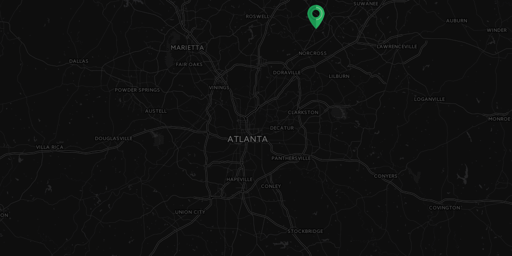
Address: 8615 Barnwell Road, Johns Creek, GA 30022
Cost of admission: Free, $5/day parking fee per car; annual pass available
Governance: NPS
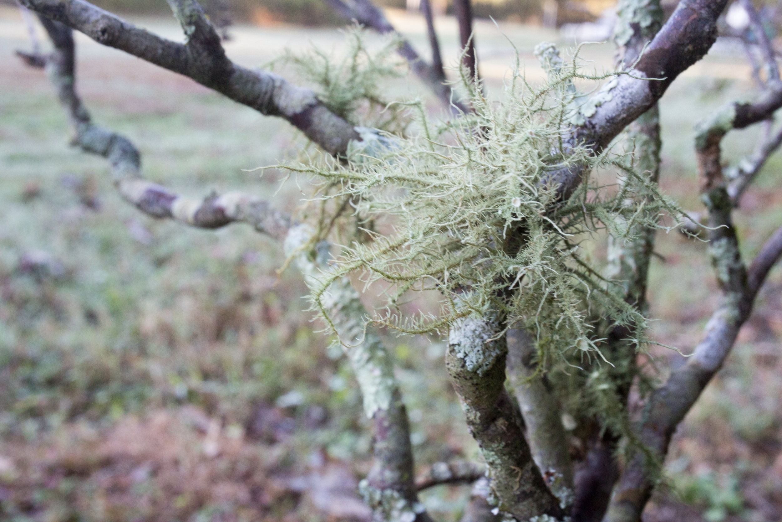
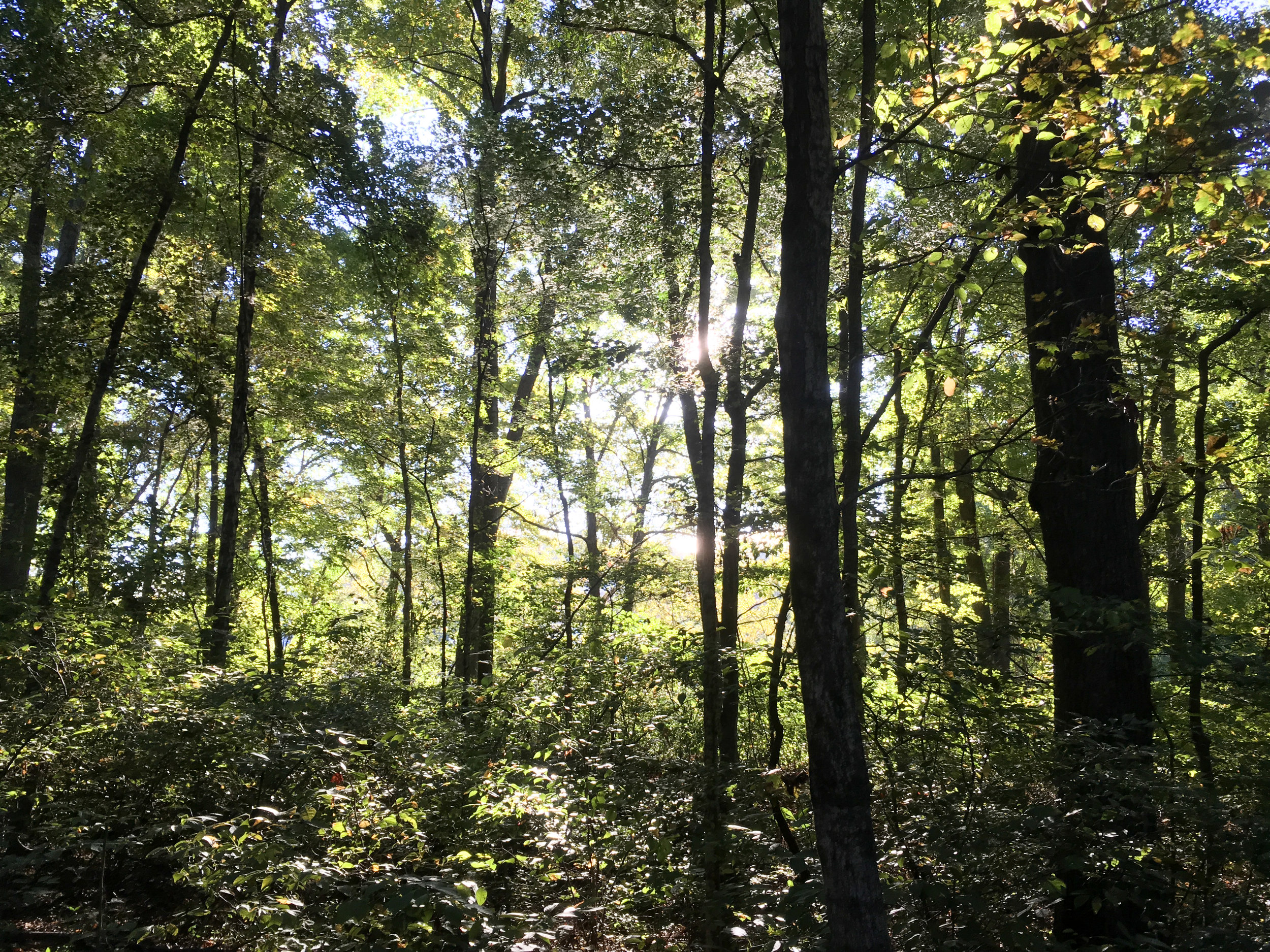
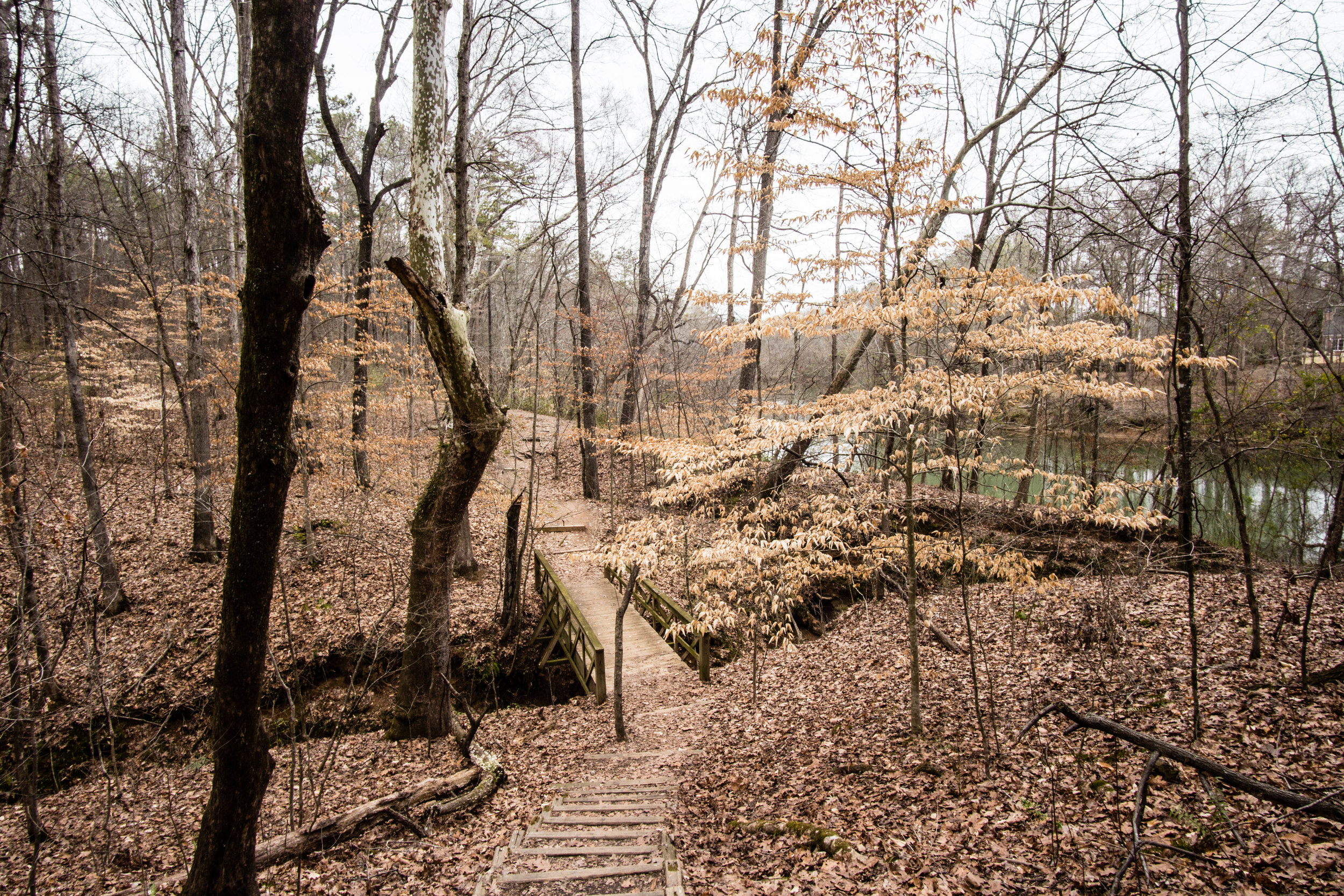
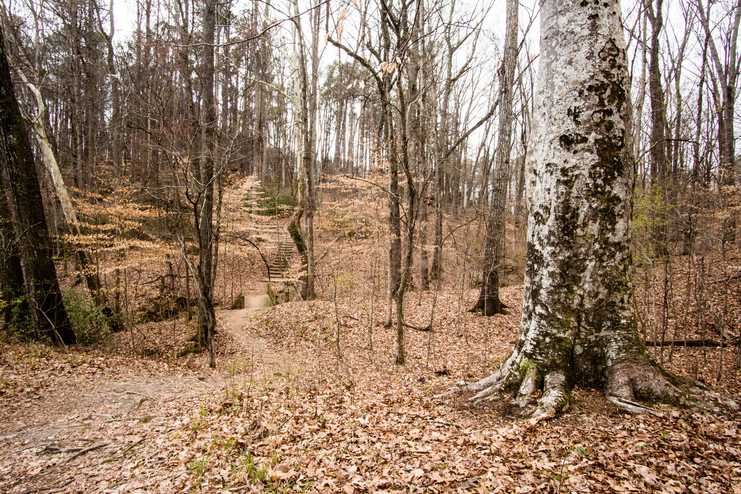
Acres: Approximately 150
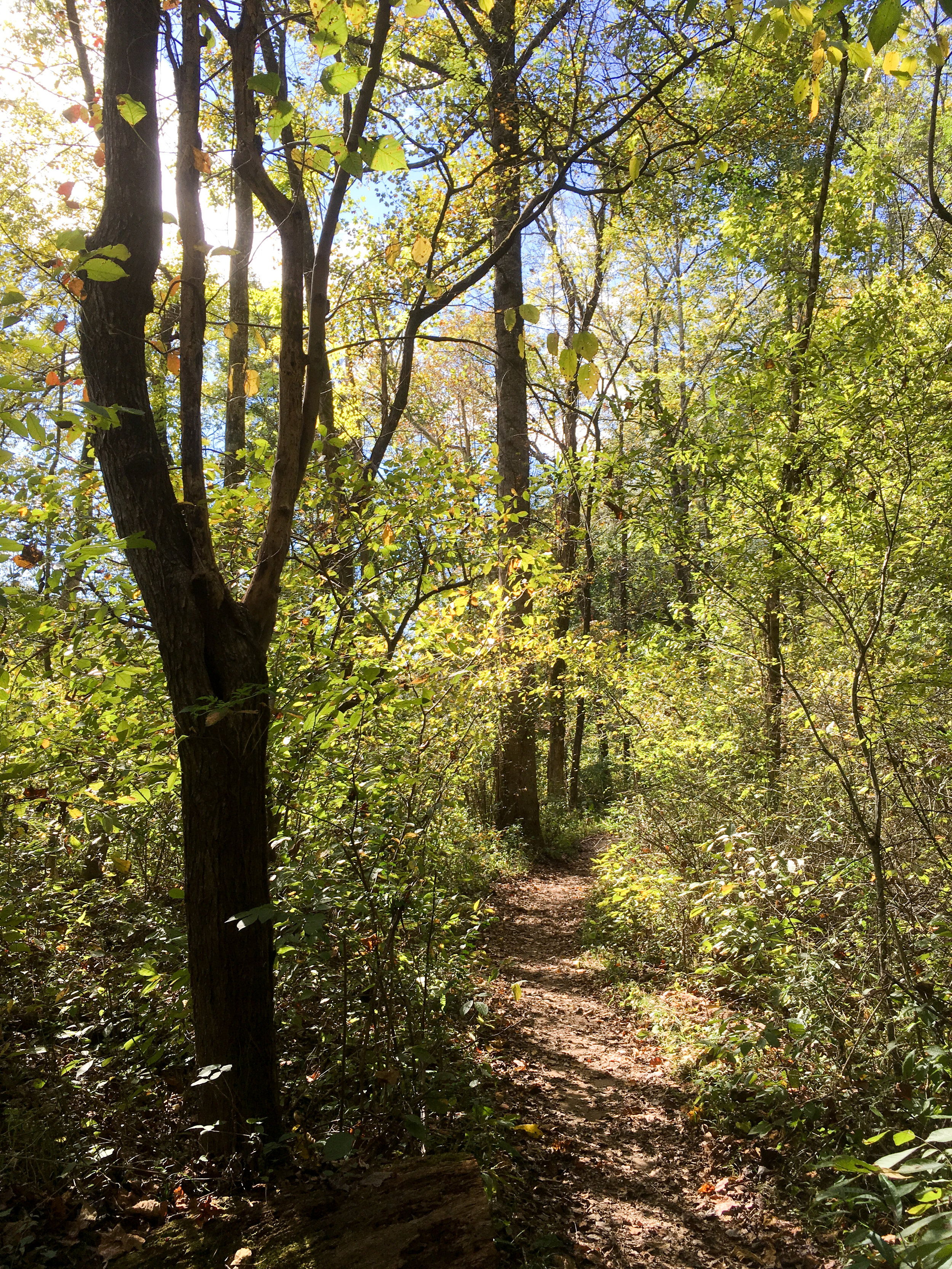
Approximate miles of trails: 4
Hours: Dawn to dusk; exact park hours are posted at the trailheads
Miles from downtown Atlanta: 19
MARTA directions: Take the 140 or 141 from North Springs Station to Mansell Park & Ride (the first stop). From there, walk across the parking lot to the other bus station, near the on-ramp for GA-400. Transfer to the 142 (only runs on weekdays). Take the bus to Holcomb Bridge Rd @ Nesbit Ferry Rd. From there, walk southeast on Holcomb Bridge to Barnwell Road. Turn left on Barnwell Road and continue until you see the National Park Service sign for CREEC on the right. The total walking distance from bus stop to trailhead is 1.0 miles. Note: most of this distance lacks sidewalks, so you’ll have to walk in the grass, including navigating a short bridge with no shoulder.
On the return trip, you can wait for the bus at Barnwell and Holcomb Bridge. In this direction, the walking distance from trailhead to bus stop is 0.8 miles.
Parking: Parking is available at the main trailhead.
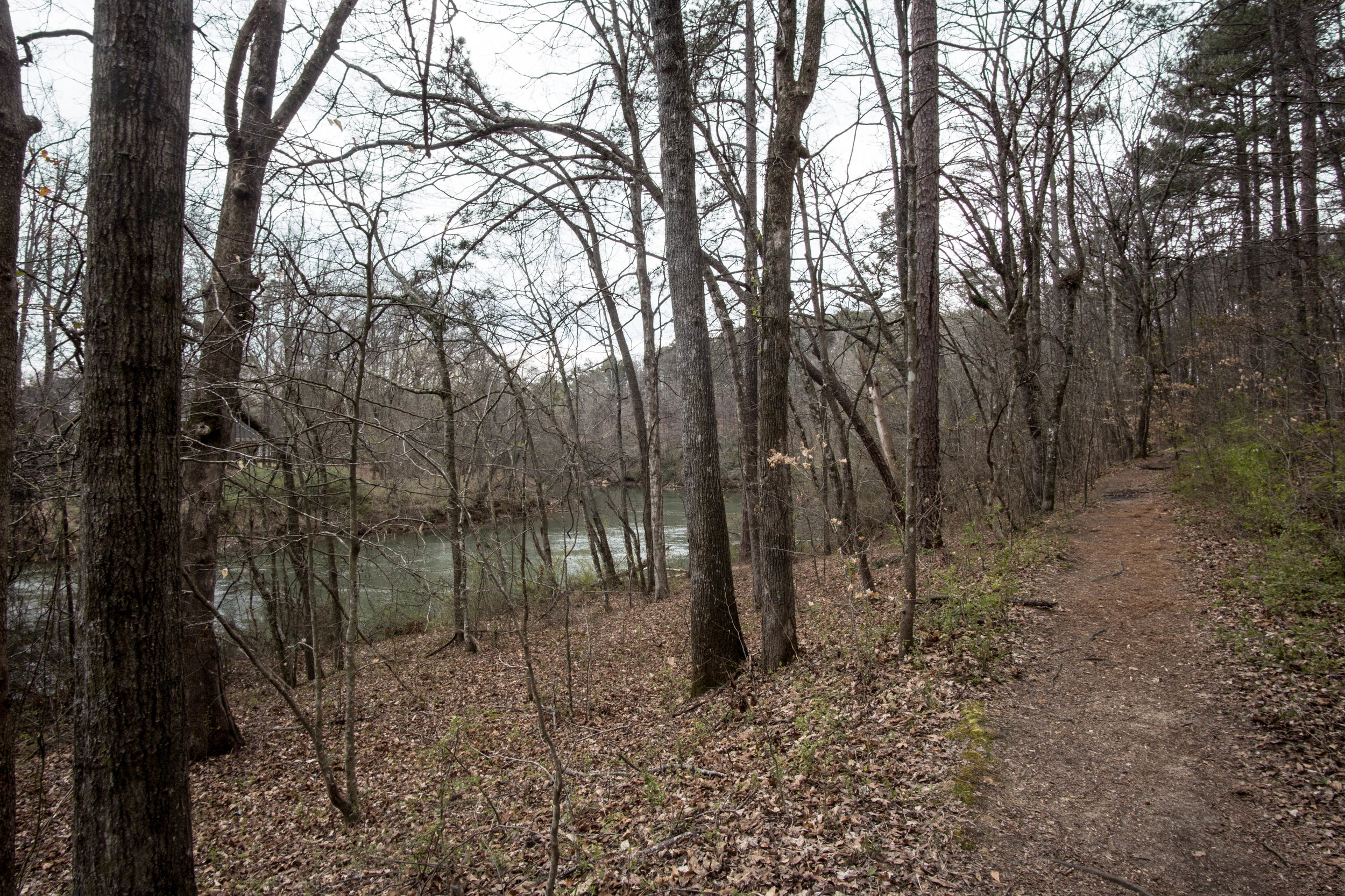
Trail surface: Natural
Blazes/markings: Each intersection is marked with a full park map of the unit
Dogs allowed: Yes
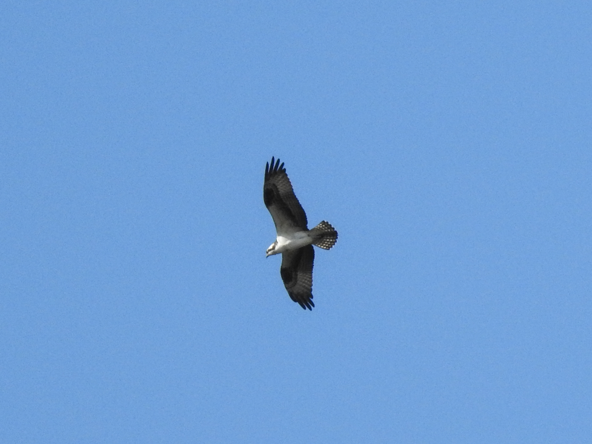
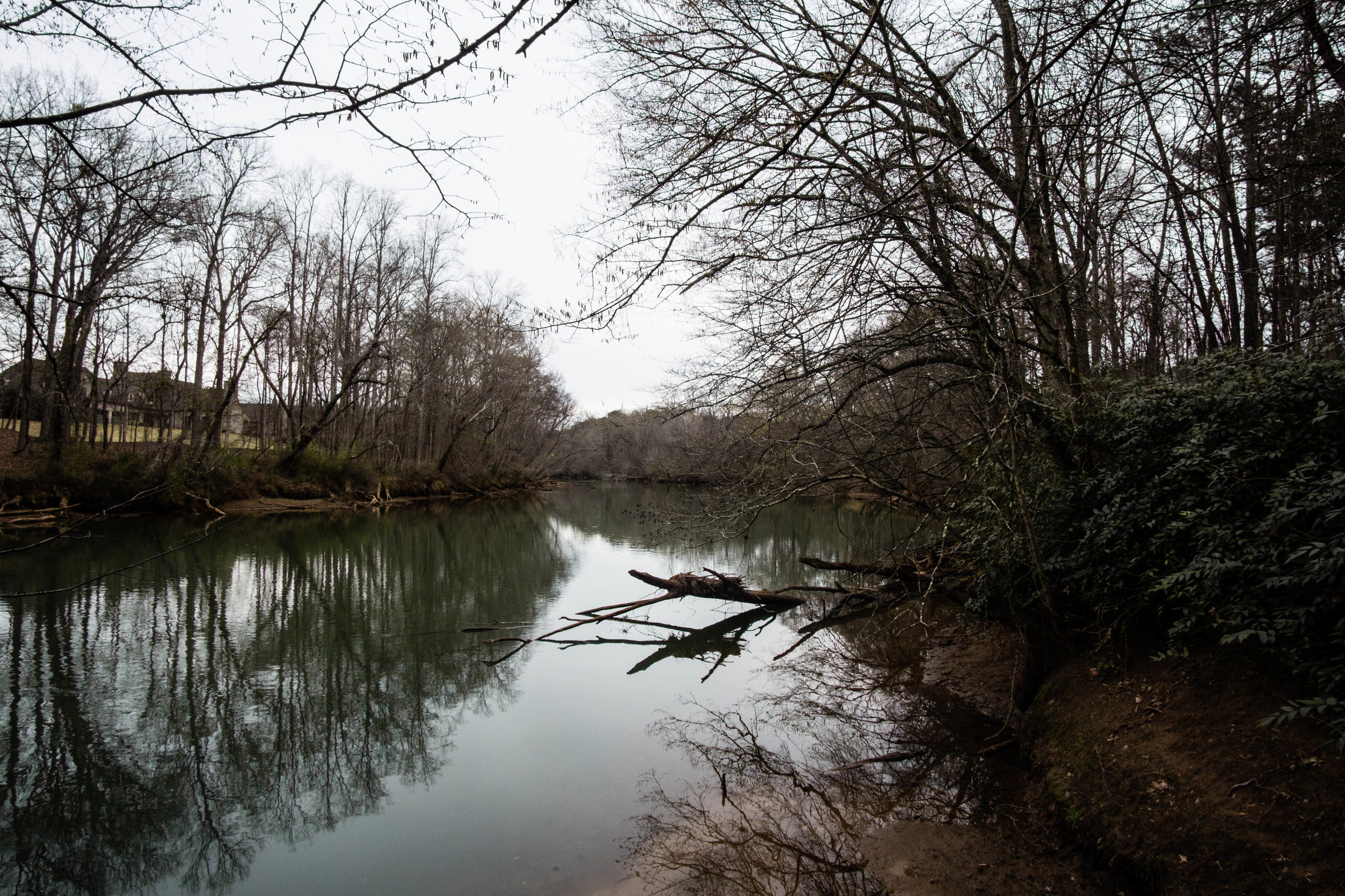
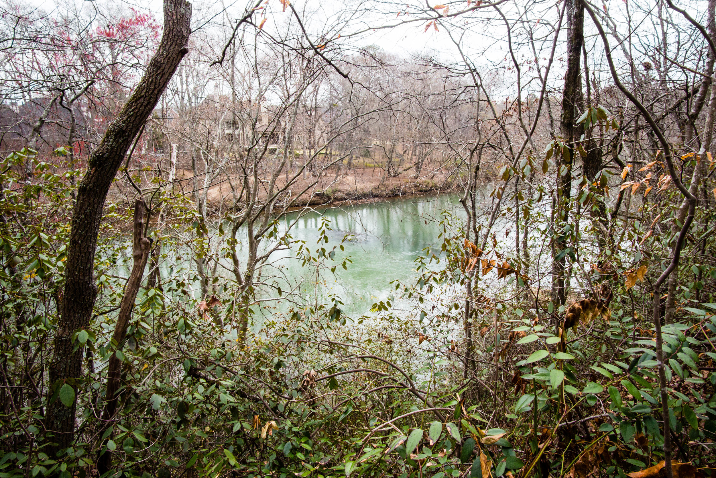
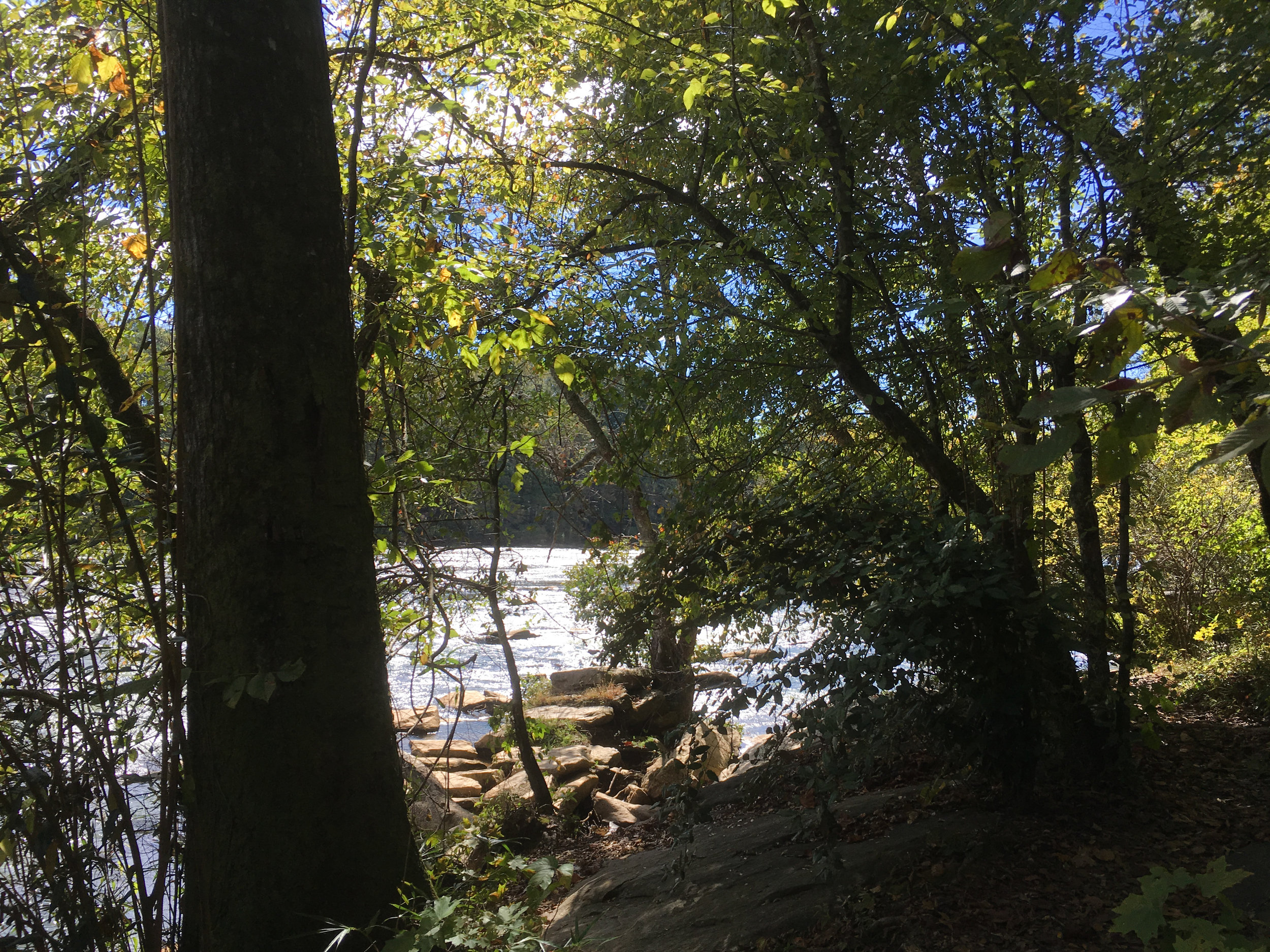
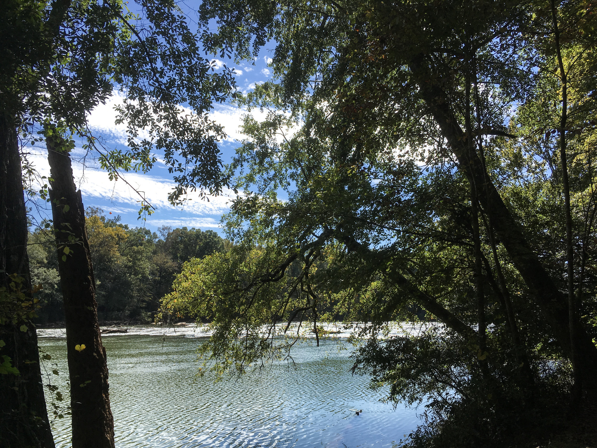
Fishing allowed: Yes
Guidebook mentions: Chapter 60 in Hiking Atlanta's Hidden Forests (1st edition), chapter 40 in 60 Hikes Within 60 Miles (3rd edition), page 36 in Hiking the Hooch (1st edition)
Amenities:
Picnic area
Restrooms
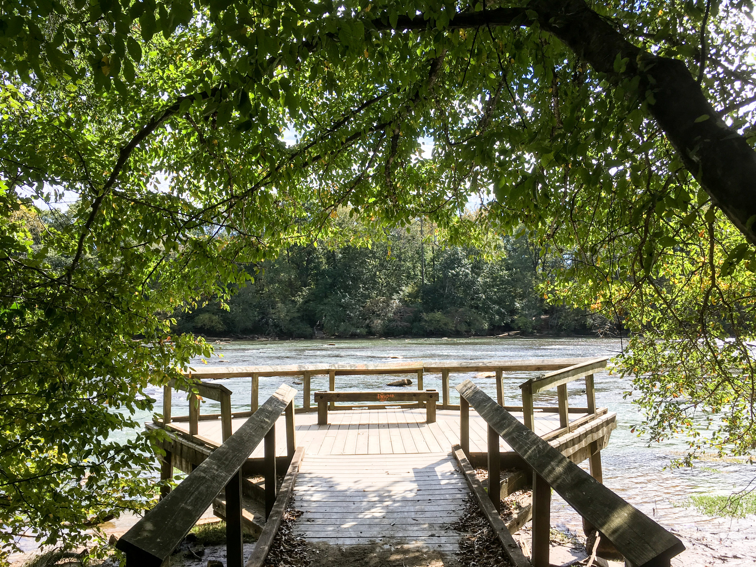
Boat ramp
Nearby amenities/conveniences:
The intersection of Holcomb Bridge and Barnwell has restaurants and a grocery store
Links:

For more photos, see my flickr album.
From around the web
Recent iNaturalist observations
Random eBird sightings from the last 30 days
REI Hiking Project
Good to combine with