ATLnature

ATLnature is your guide to Atlanta's trails and other rad nature stuff in the city. Live in the city but miss hiking on the weekends? Don’t have time (or a car!) for a trip to north Georgia? Did you know there are over 30 nature trails inside the perimeter of 285 alone?

  • Home
  • Parks
  • Species
  • More
morgan-falls.png

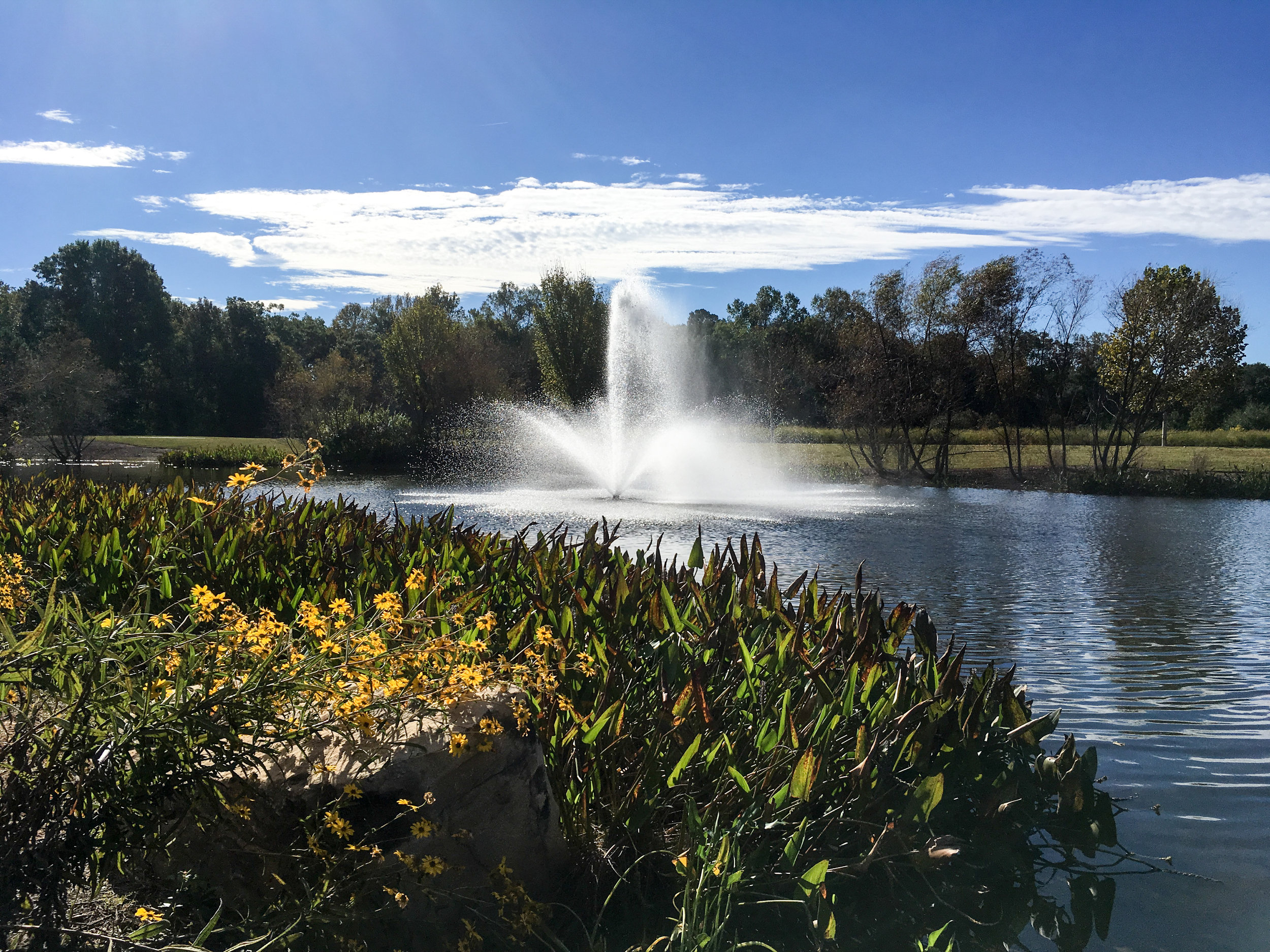
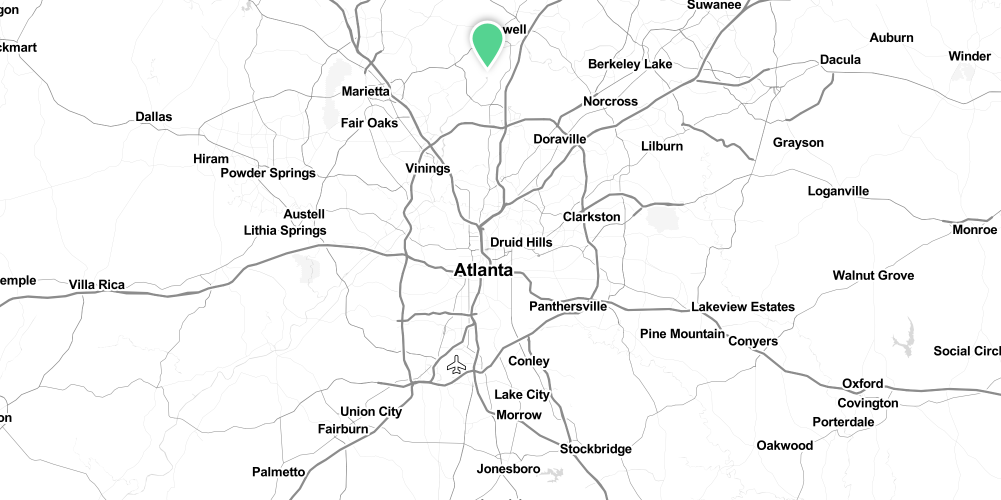
Morgan Falls Overlook Park & Morgan Falls River Park

Morgan Falls Overlook Park
August 28, 2021 by Shawn Taylor in parks

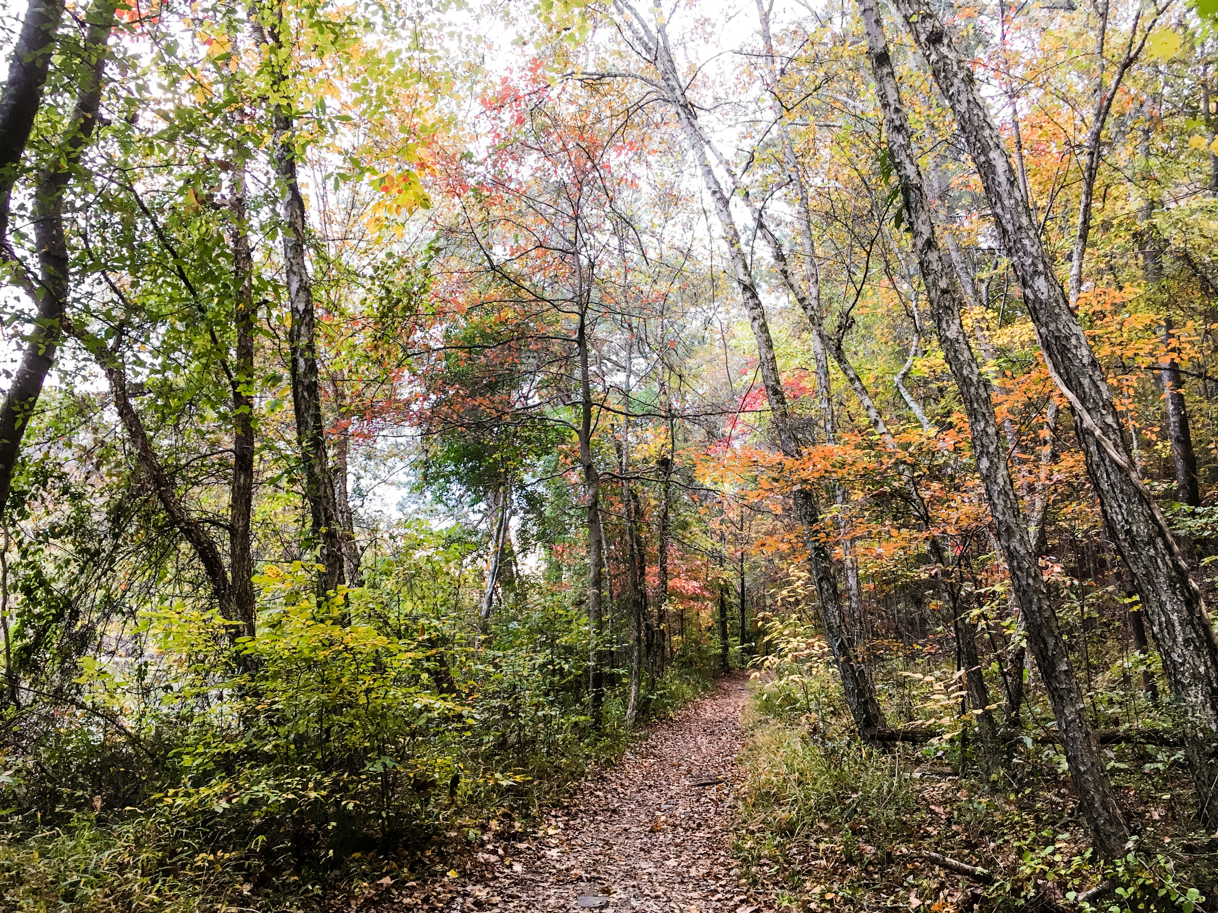
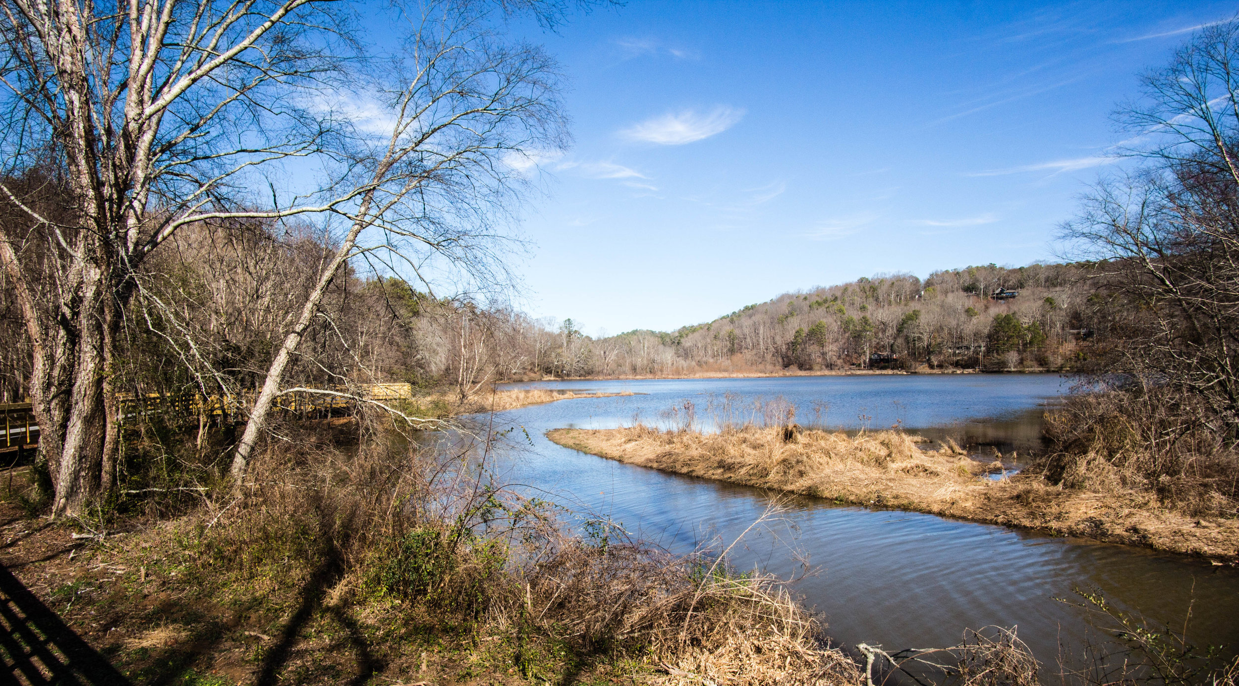
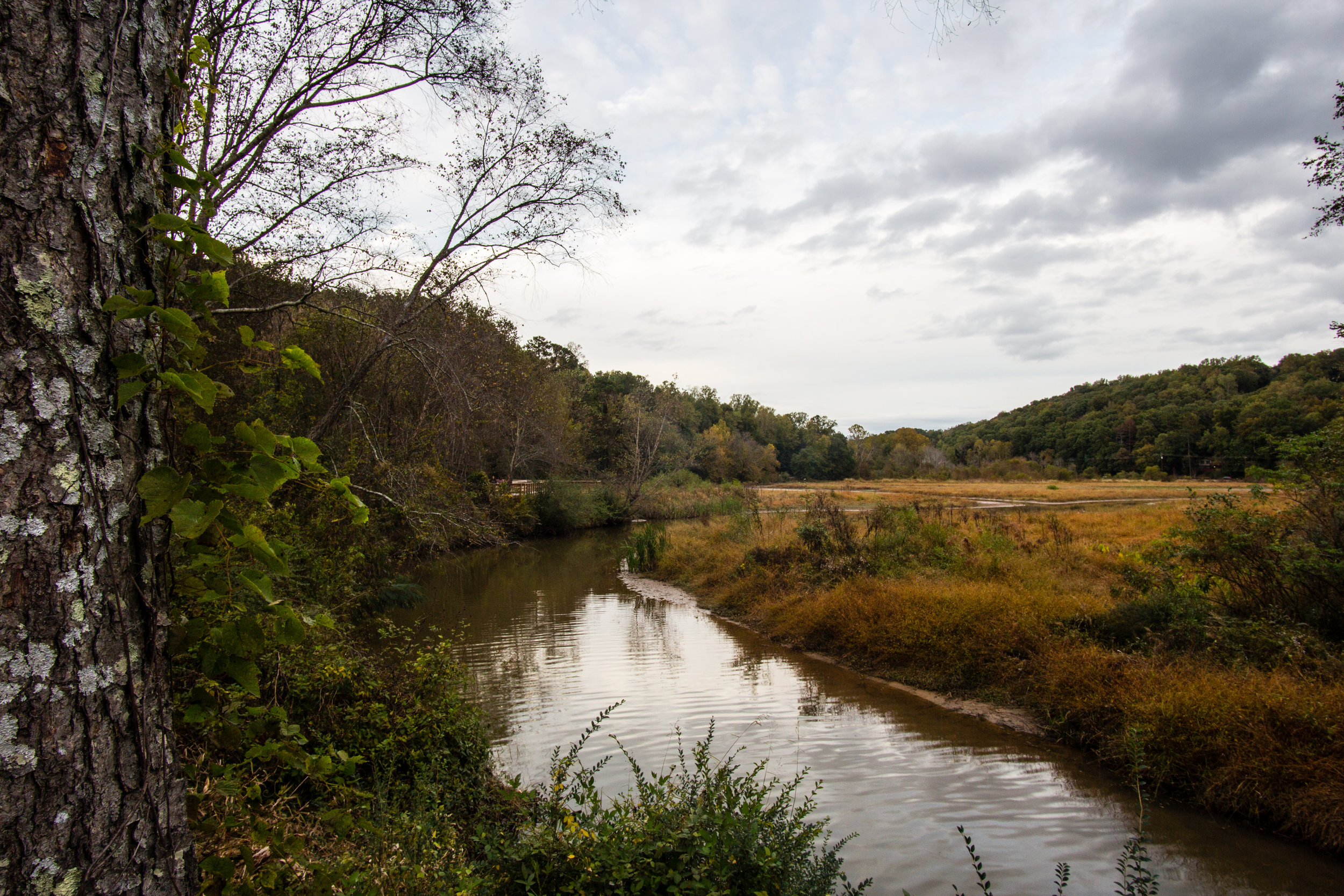
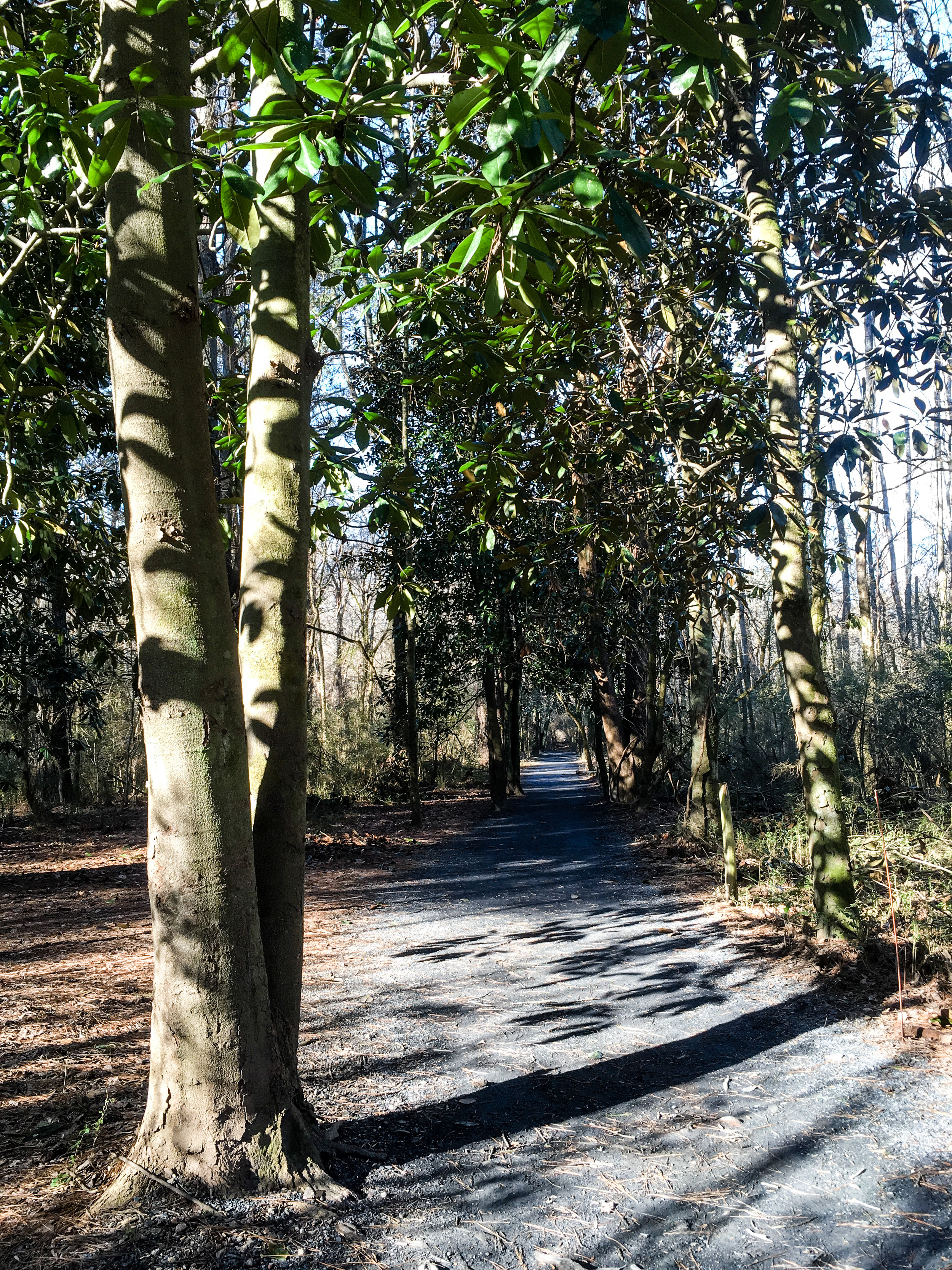
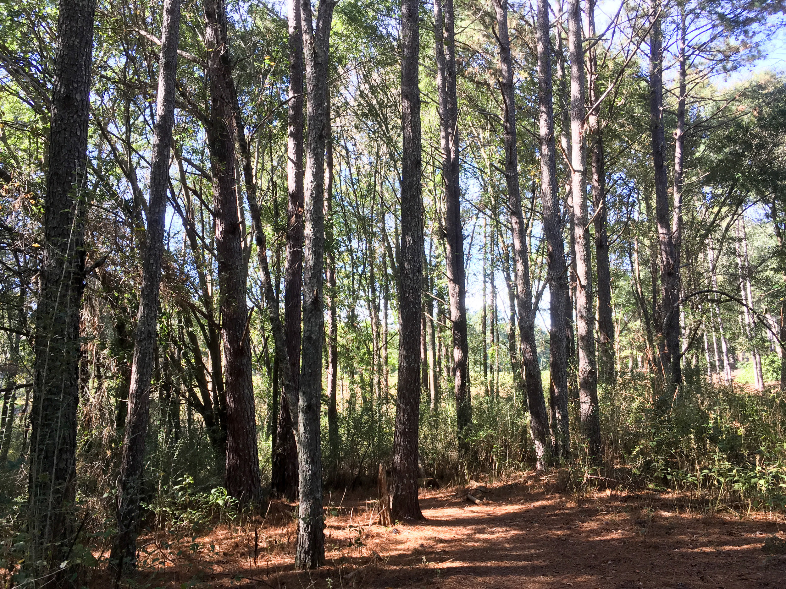
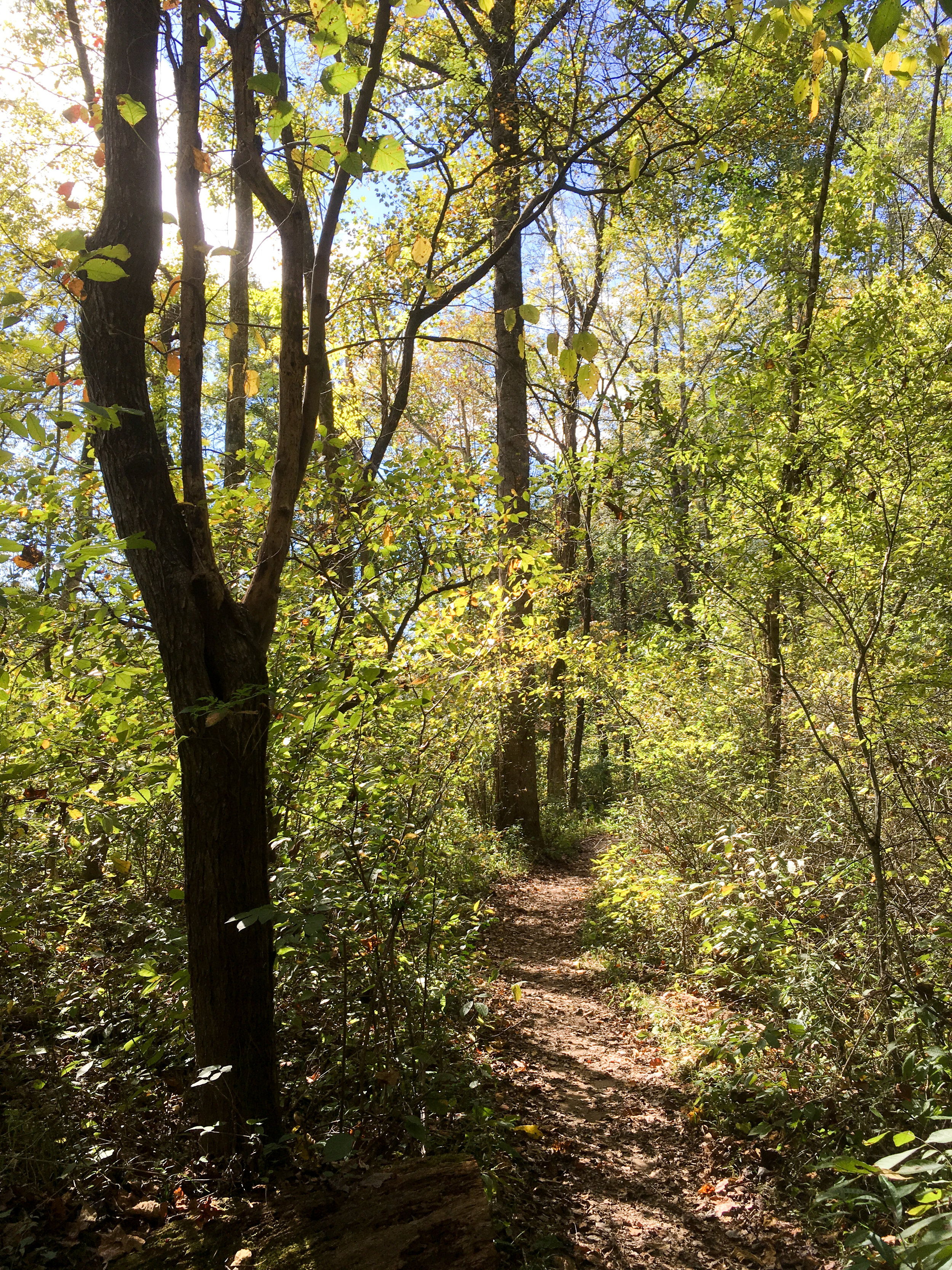
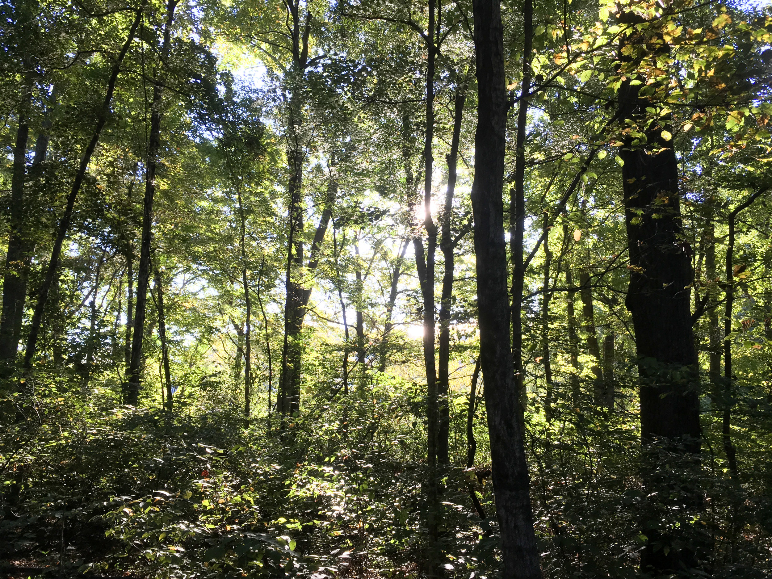
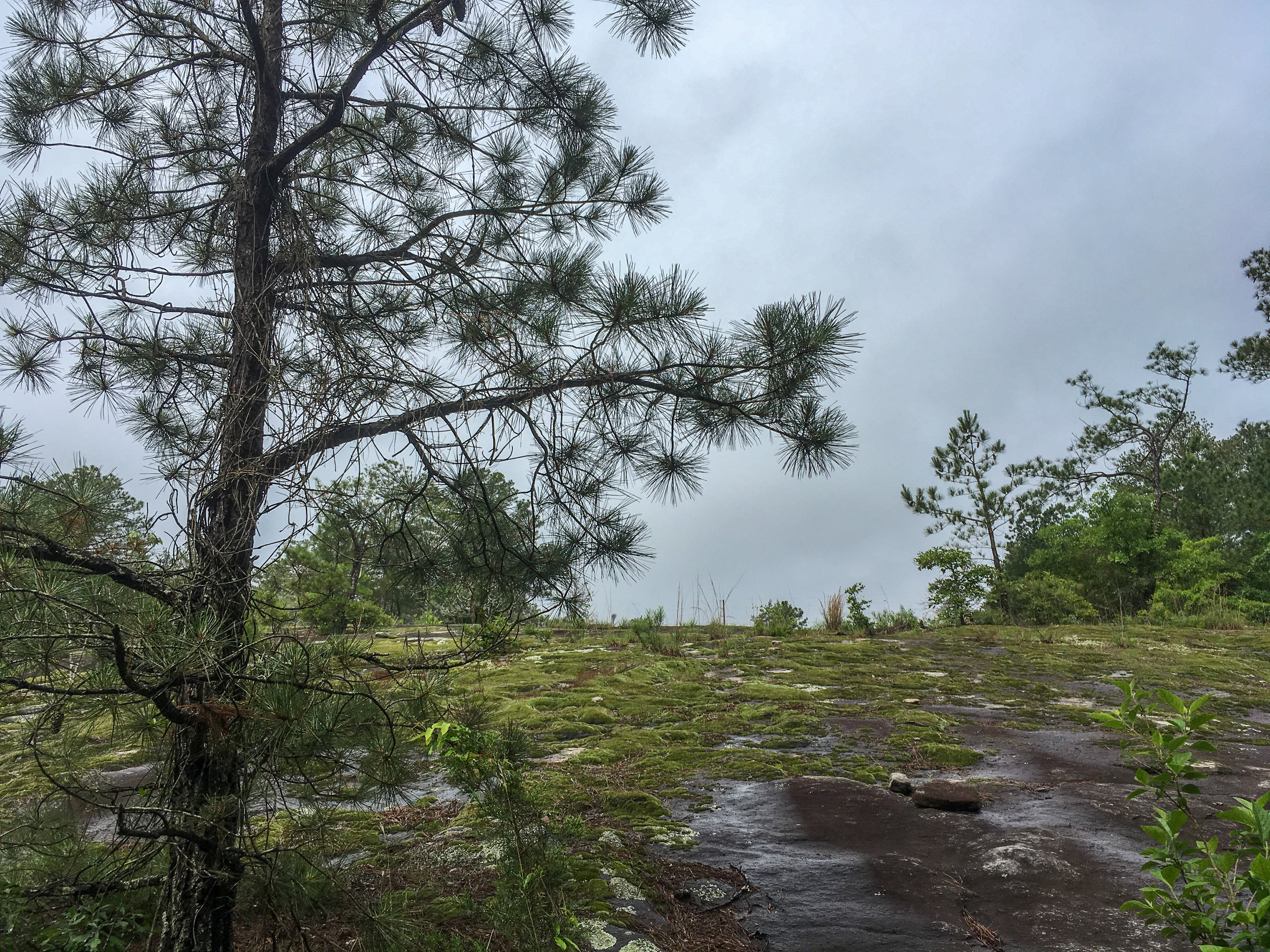
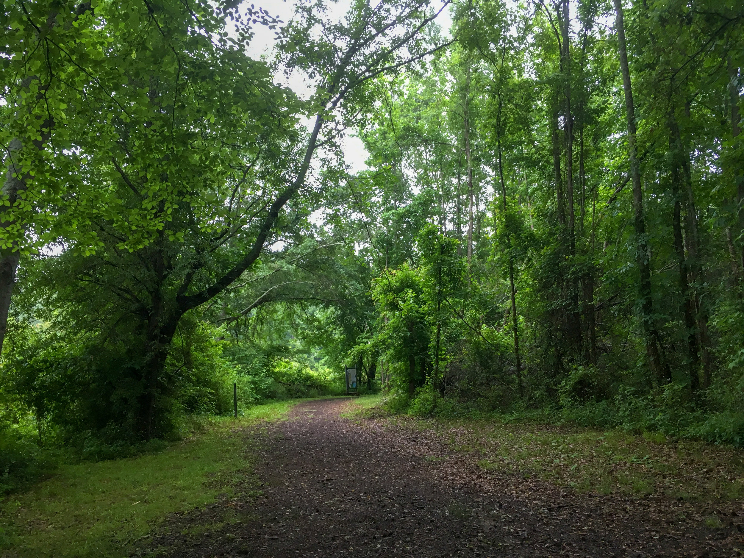
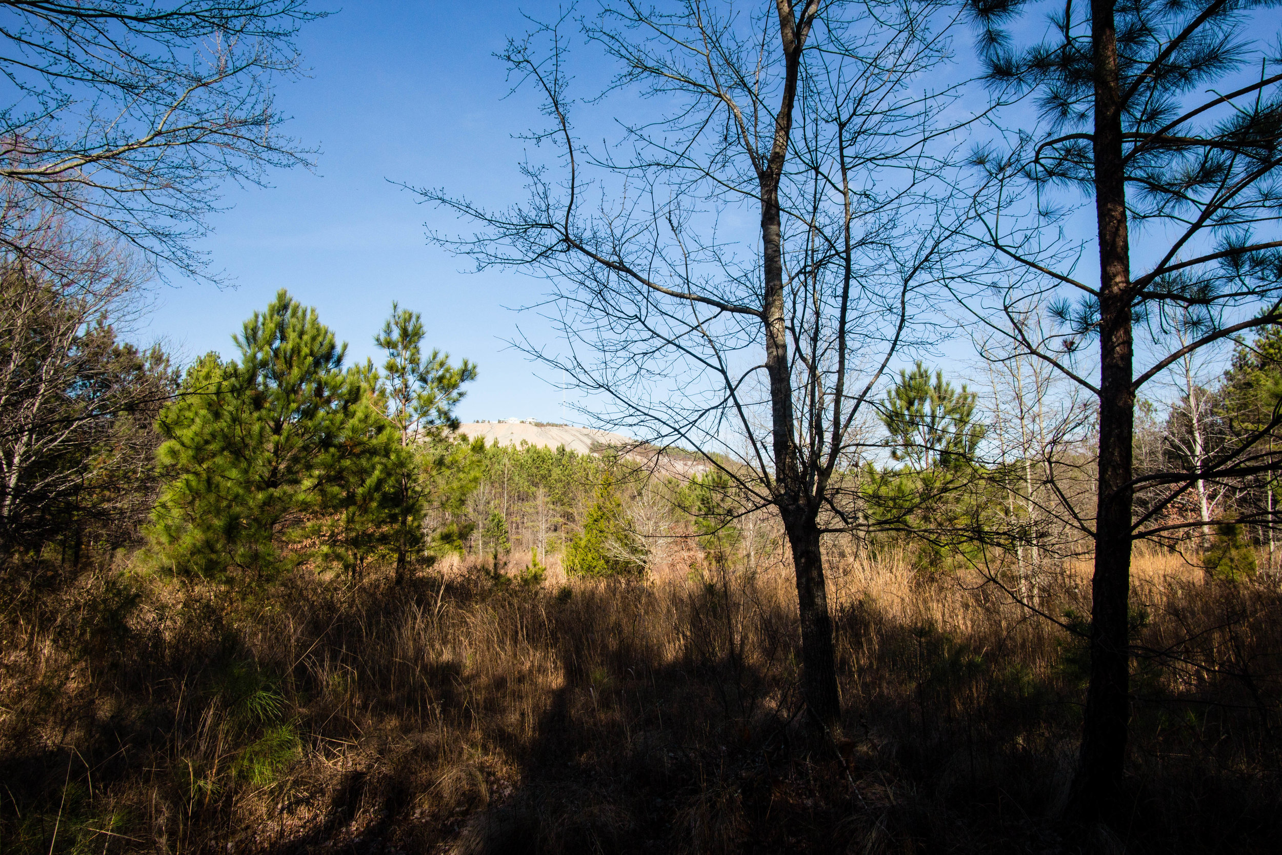
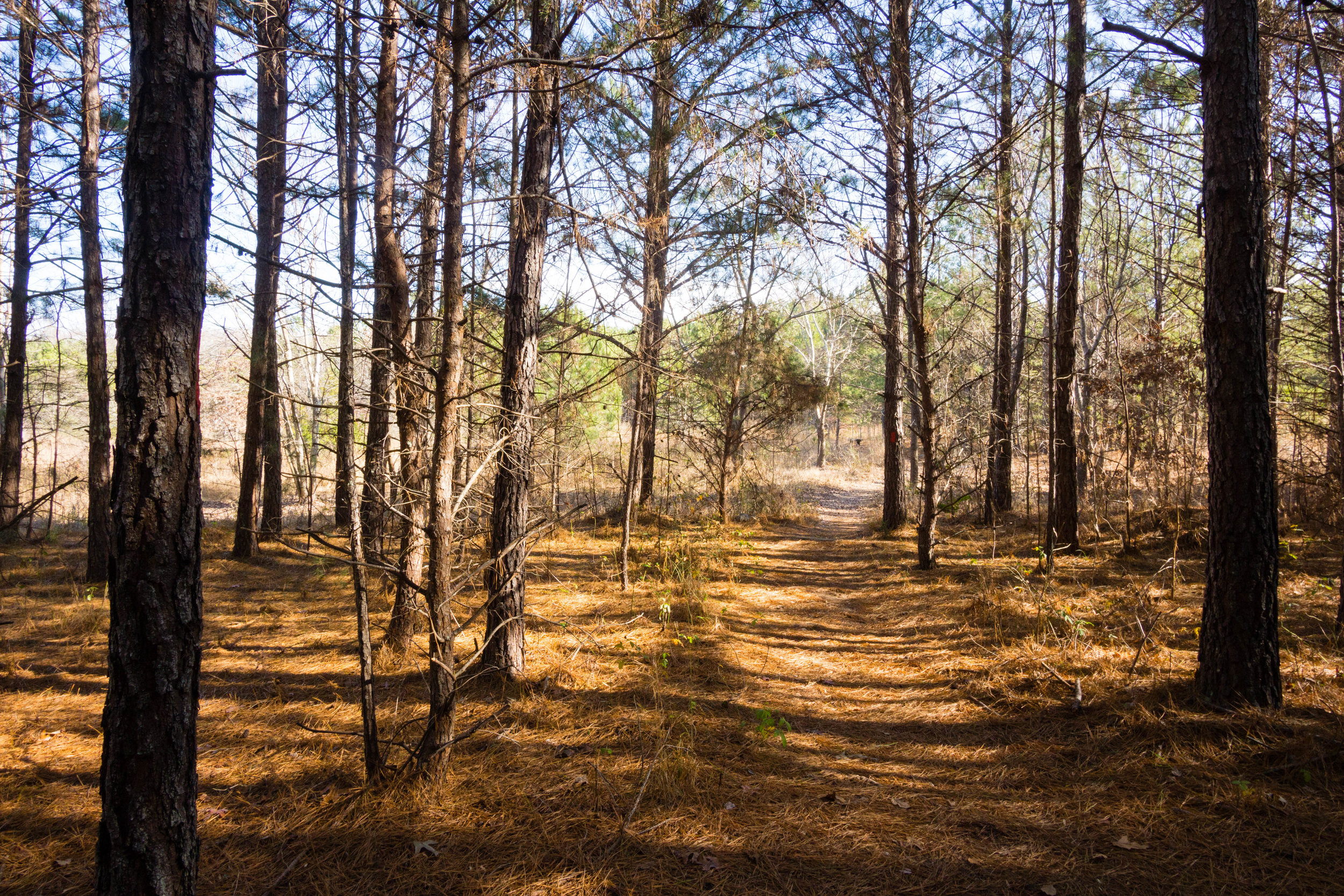
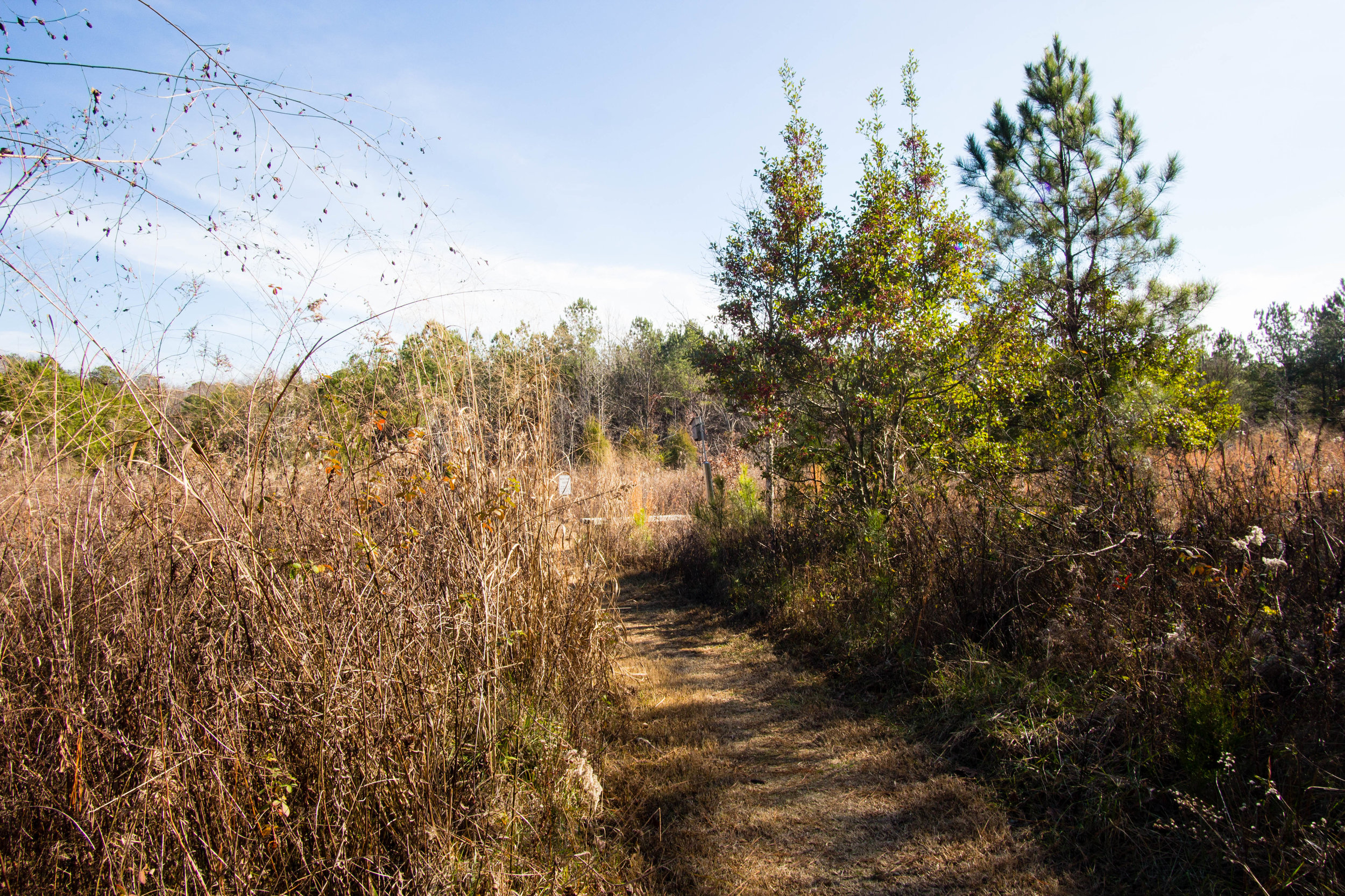
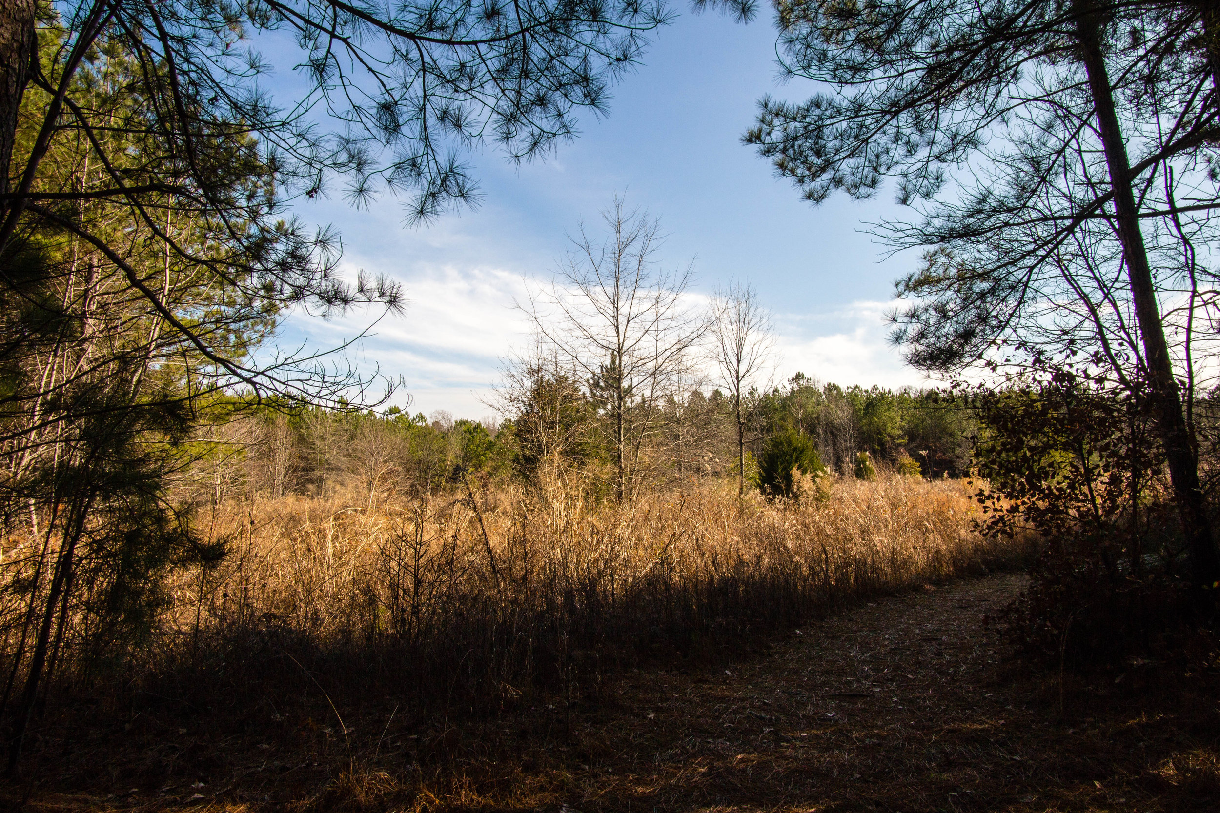
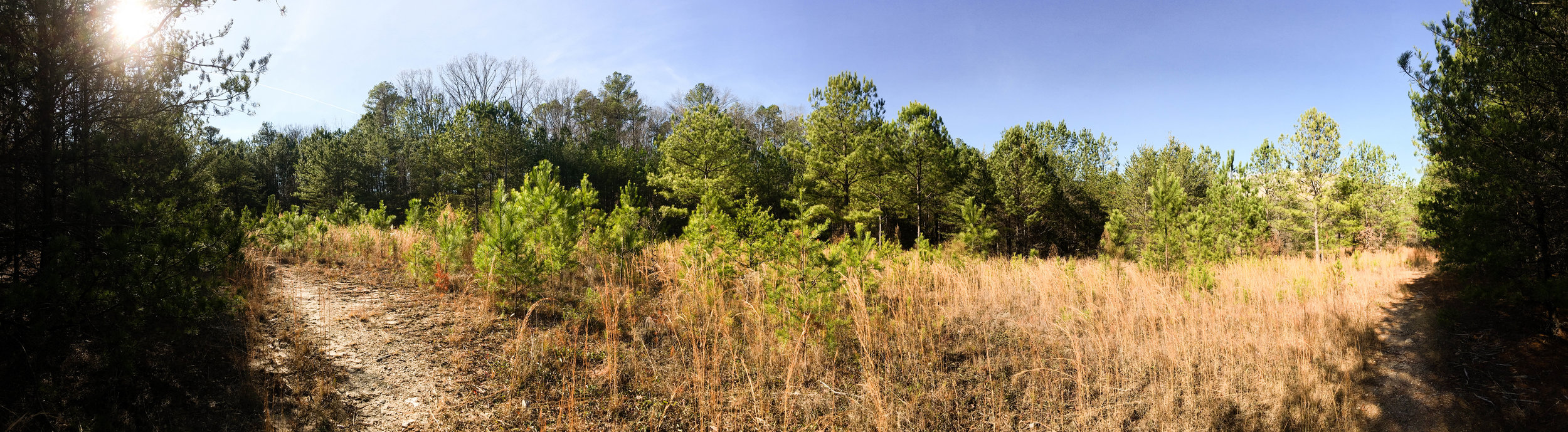
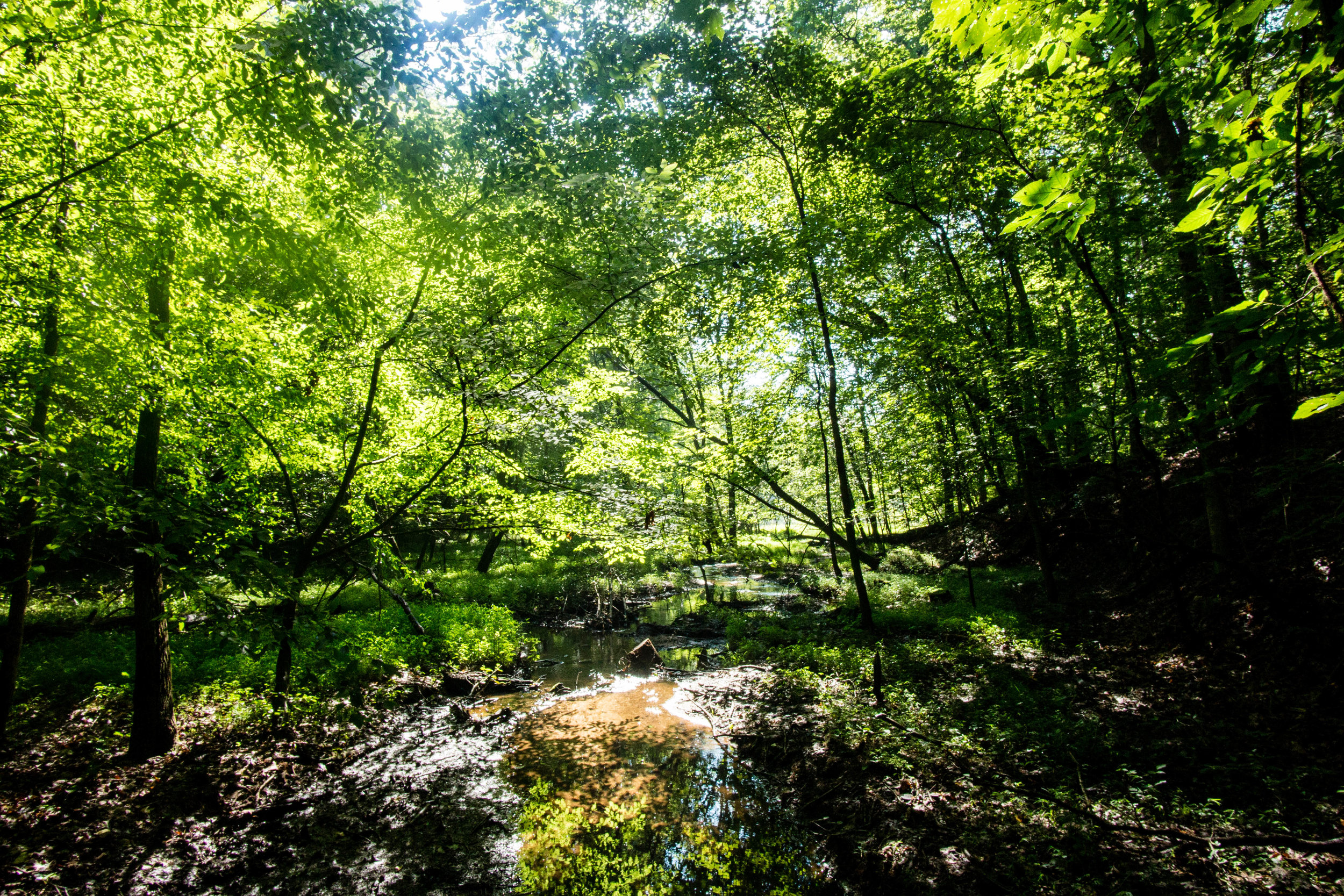
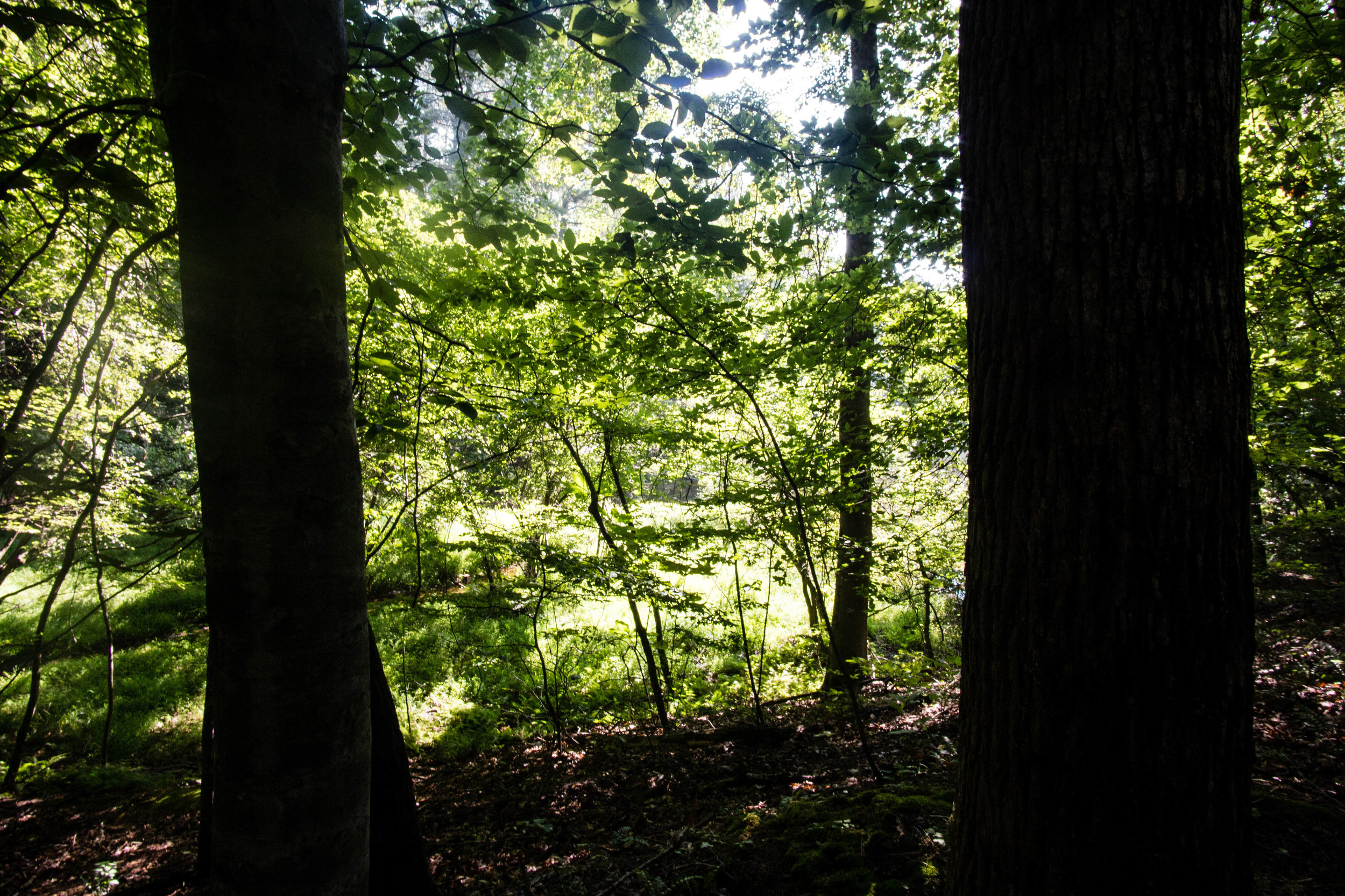
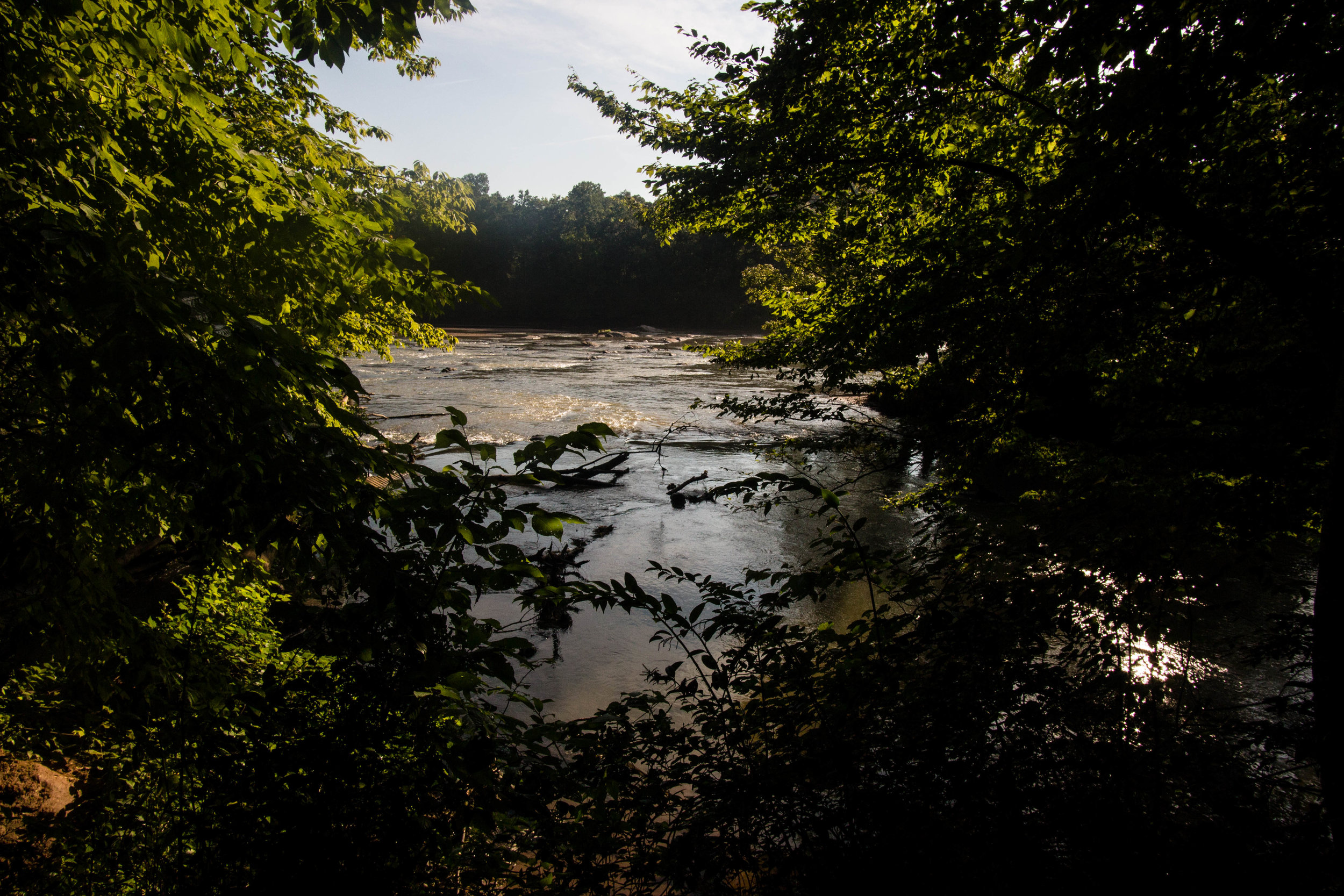
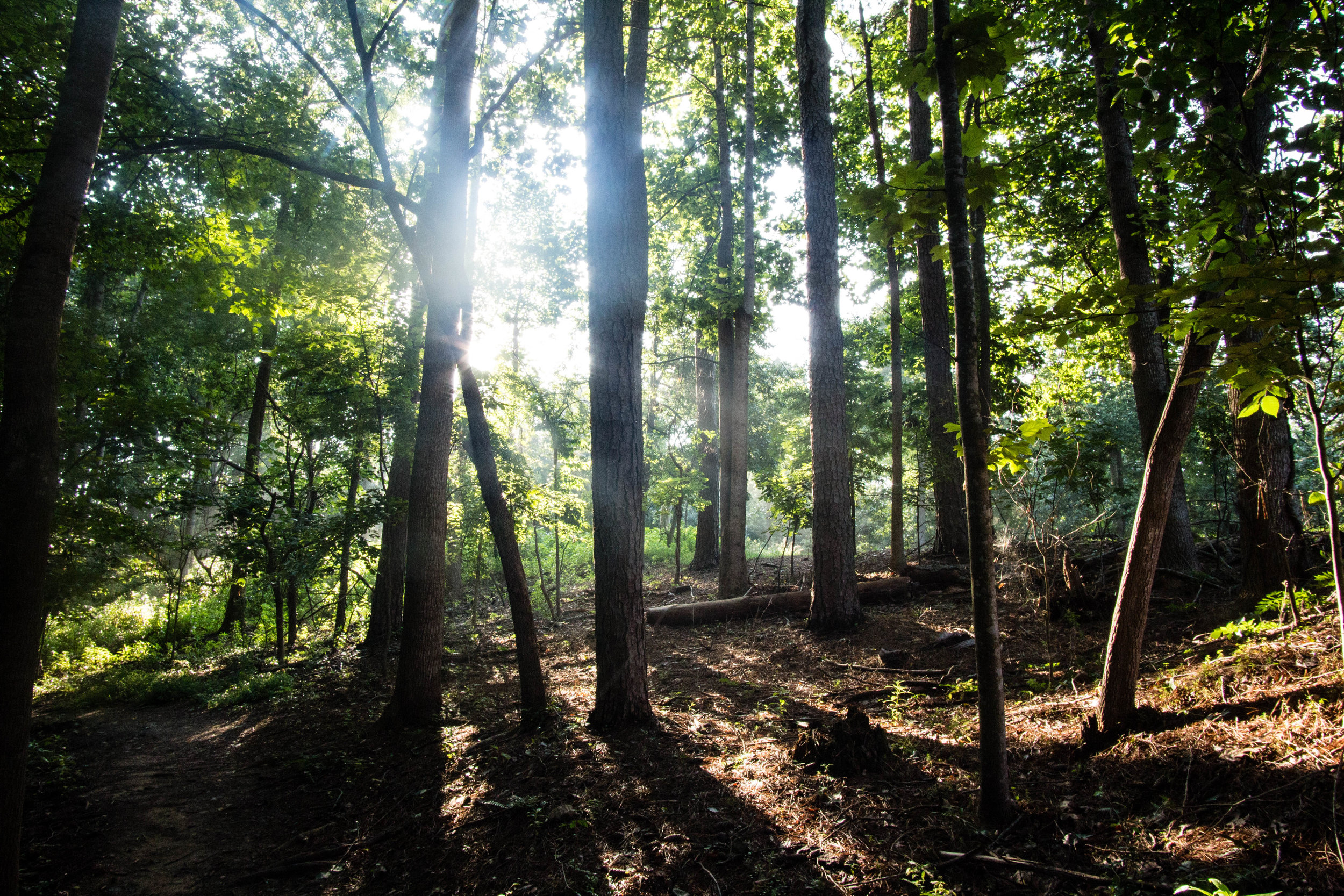
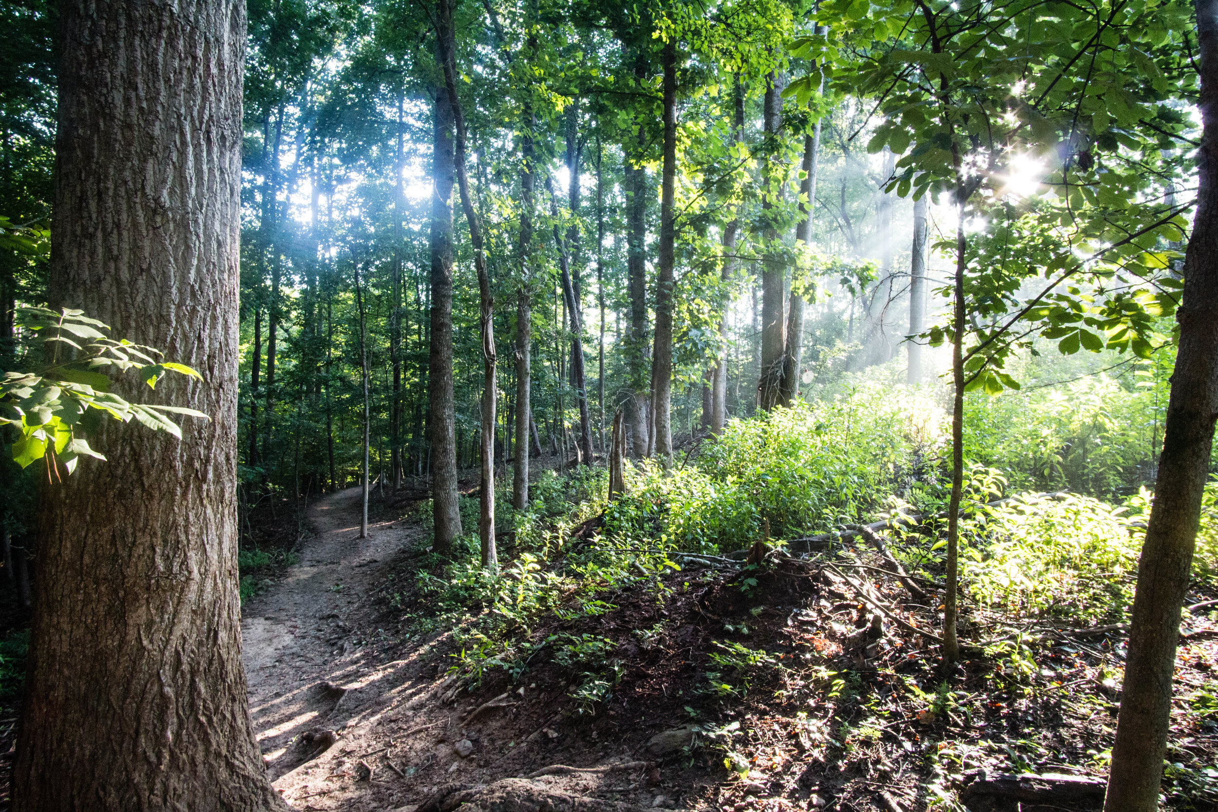
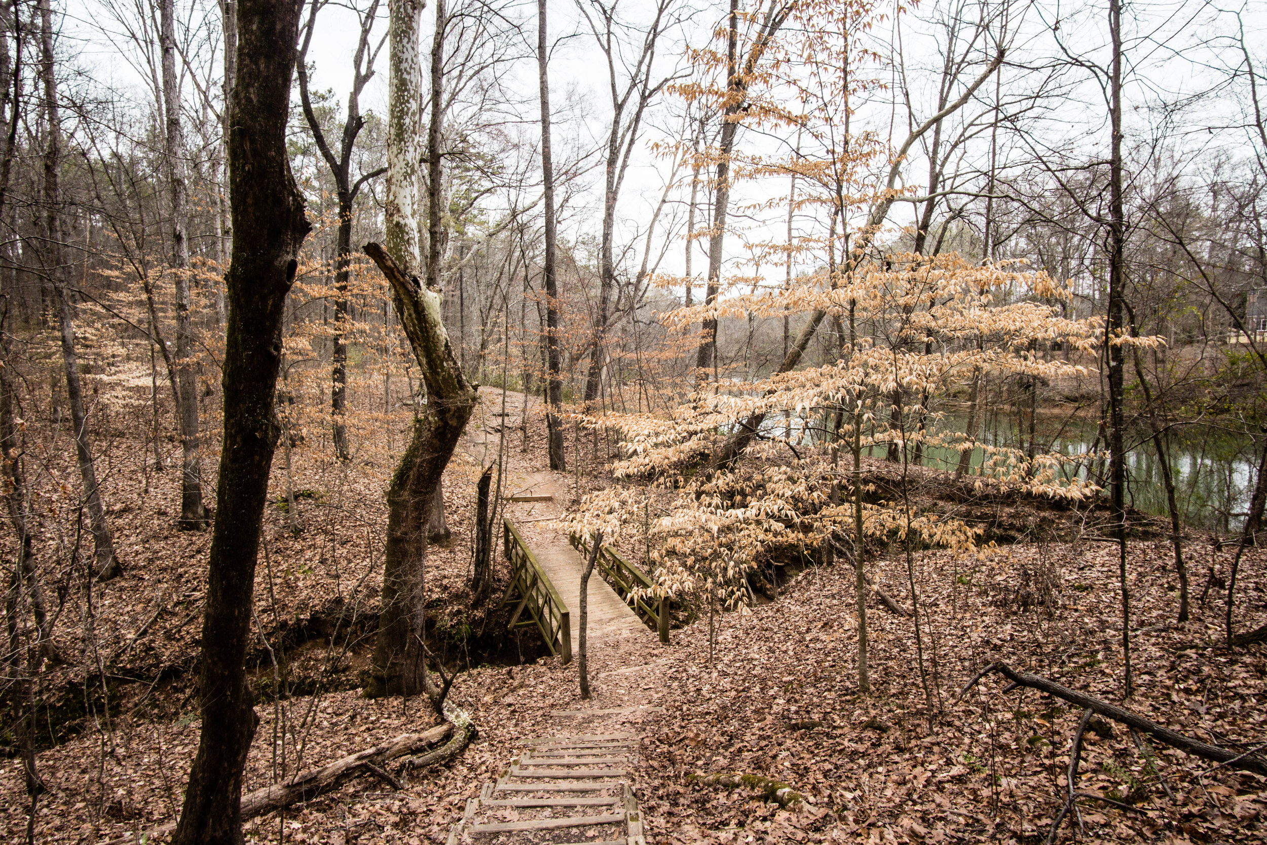
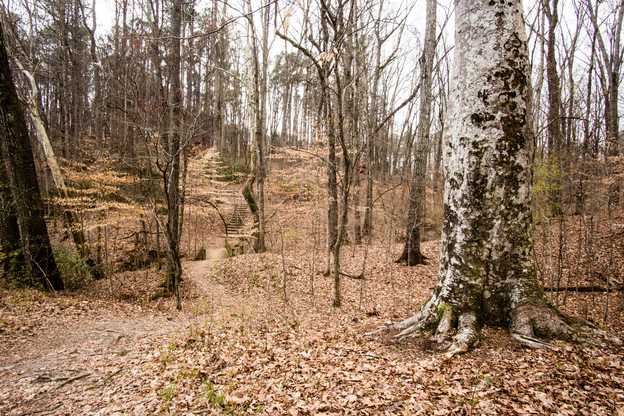
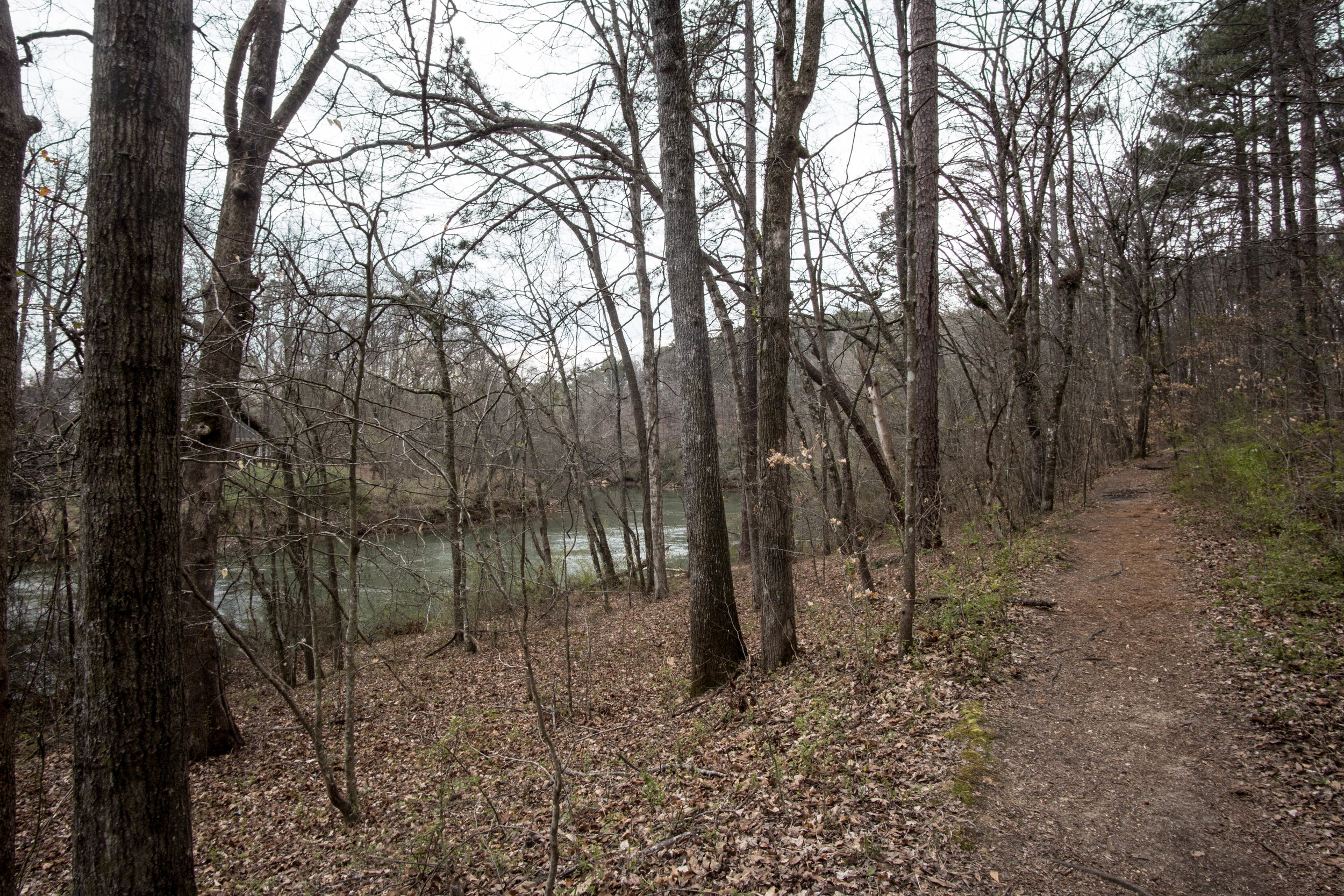
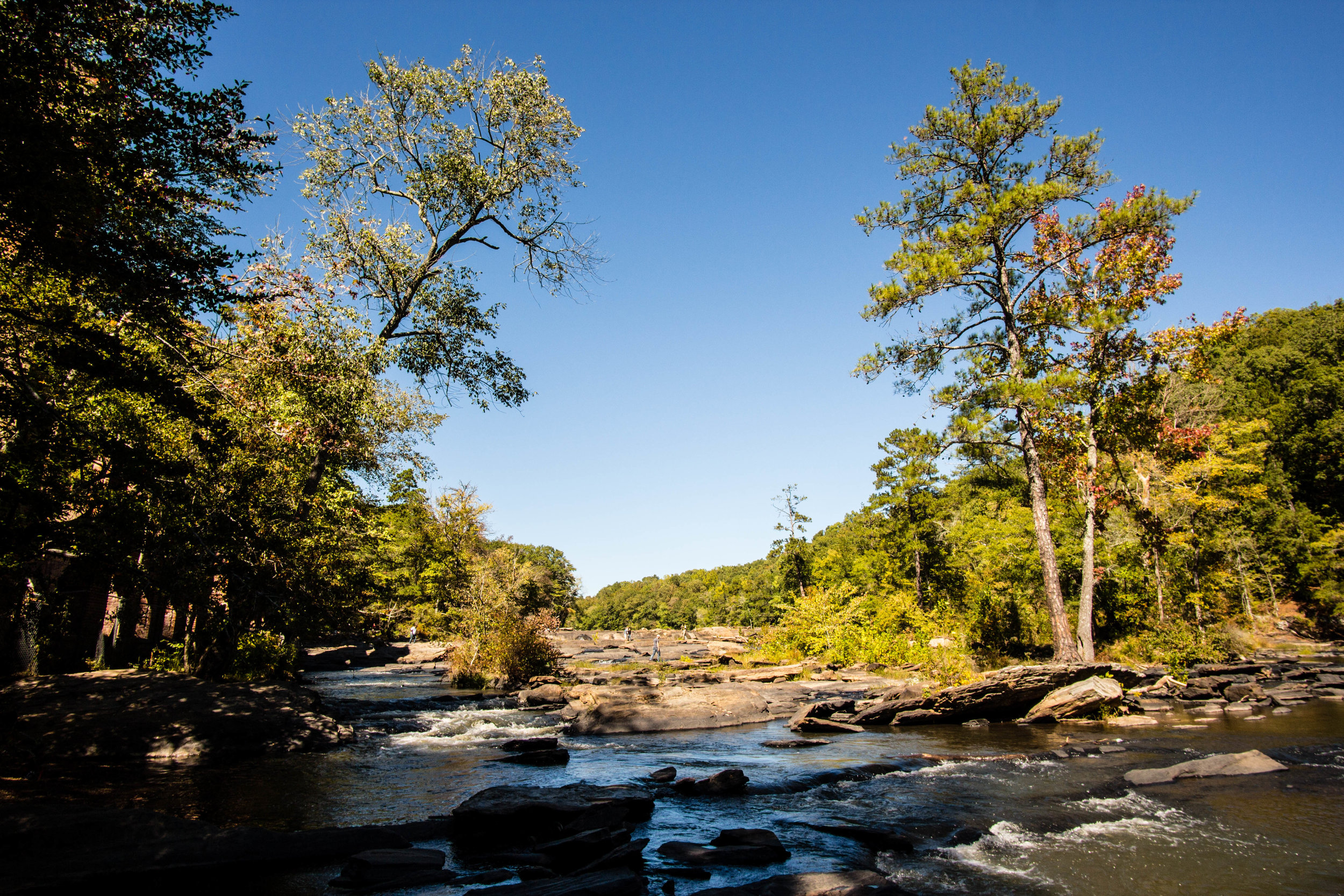
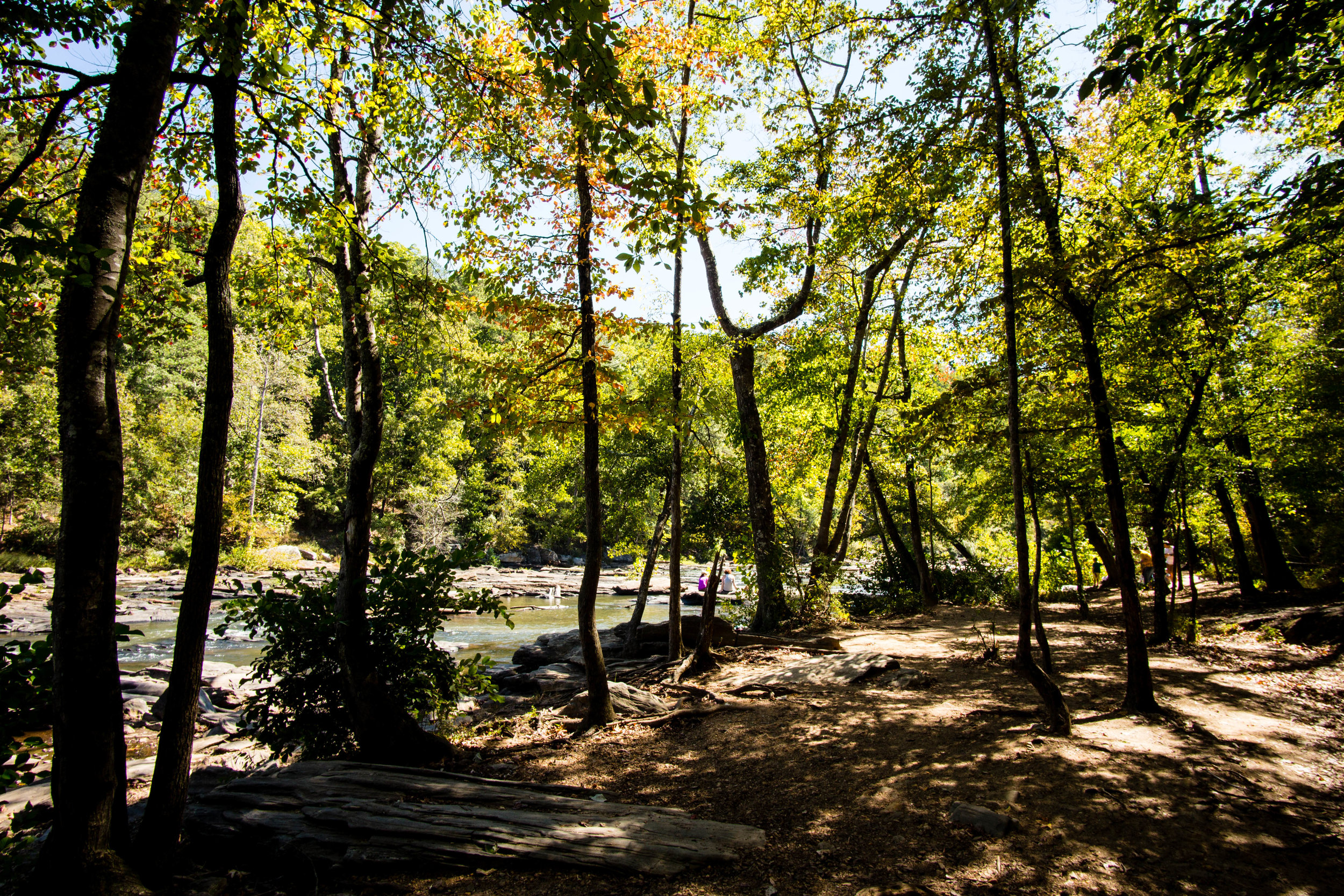
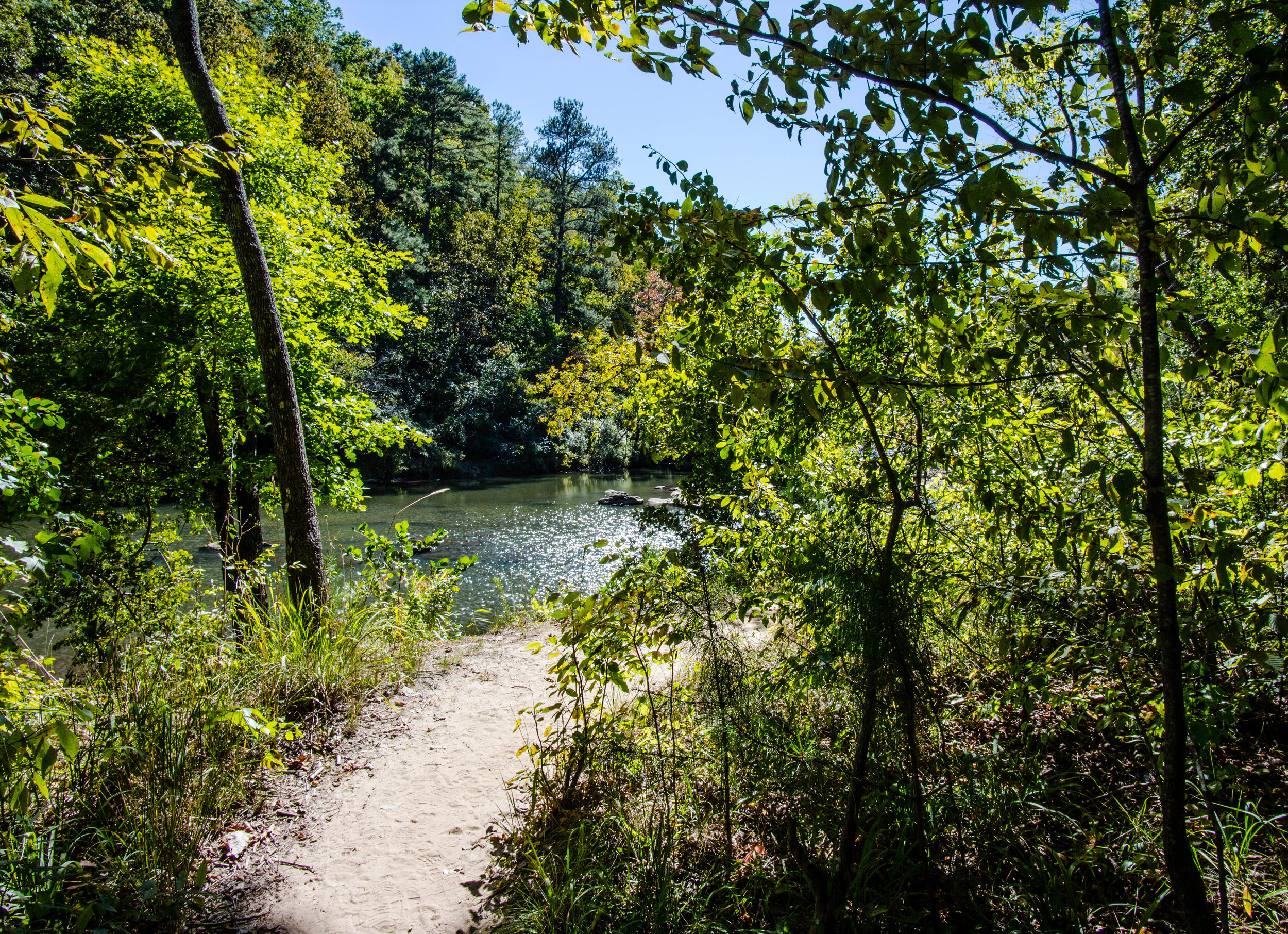
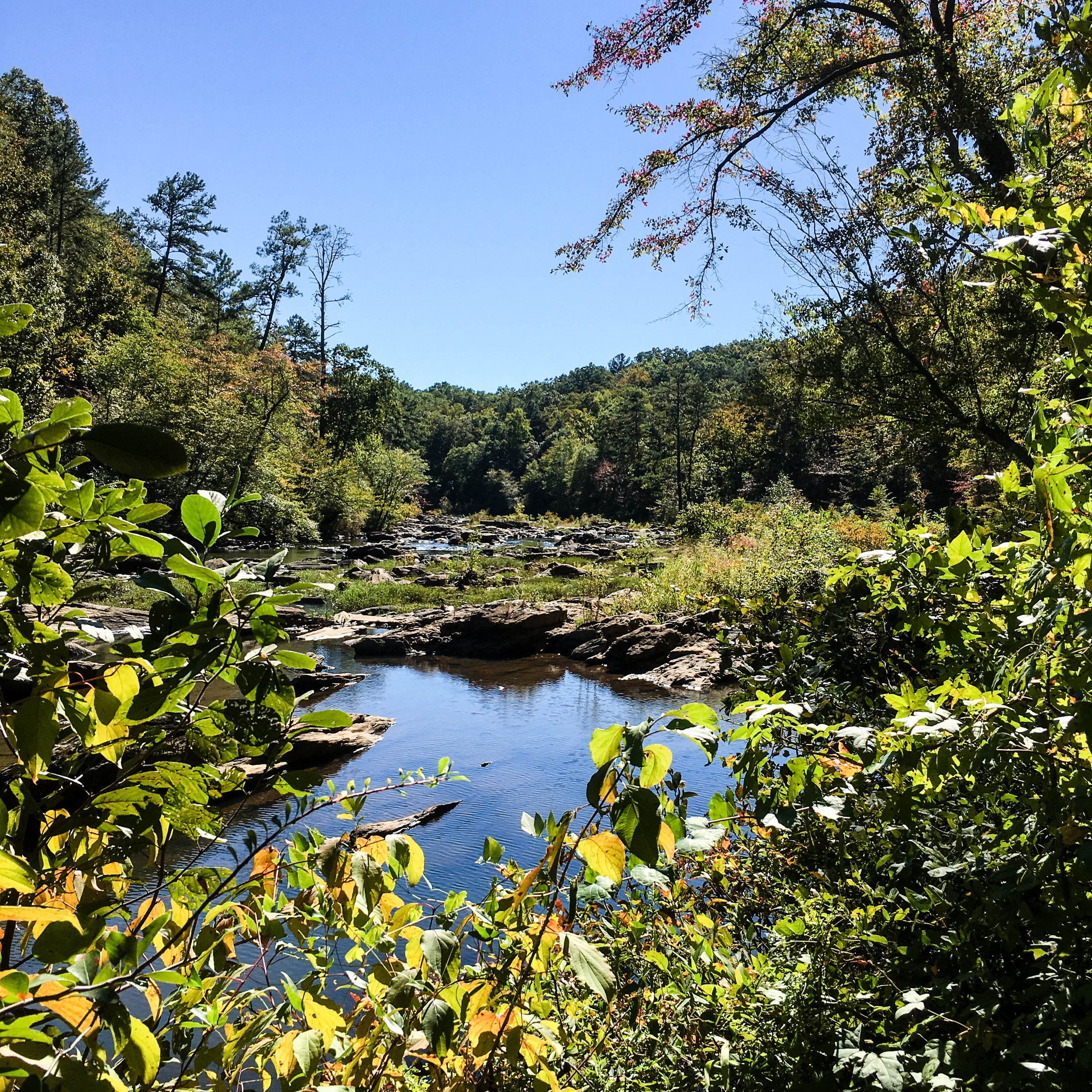
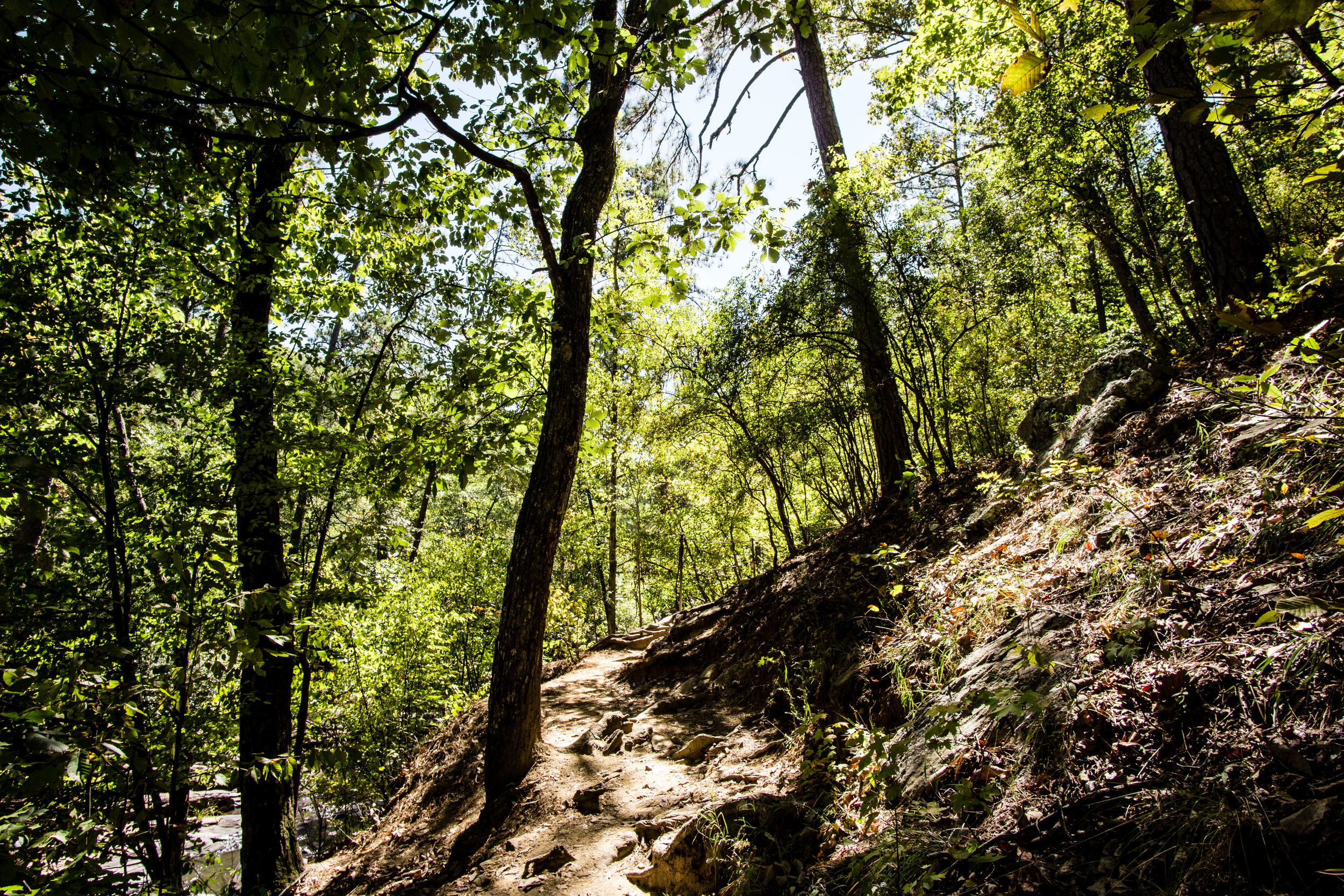
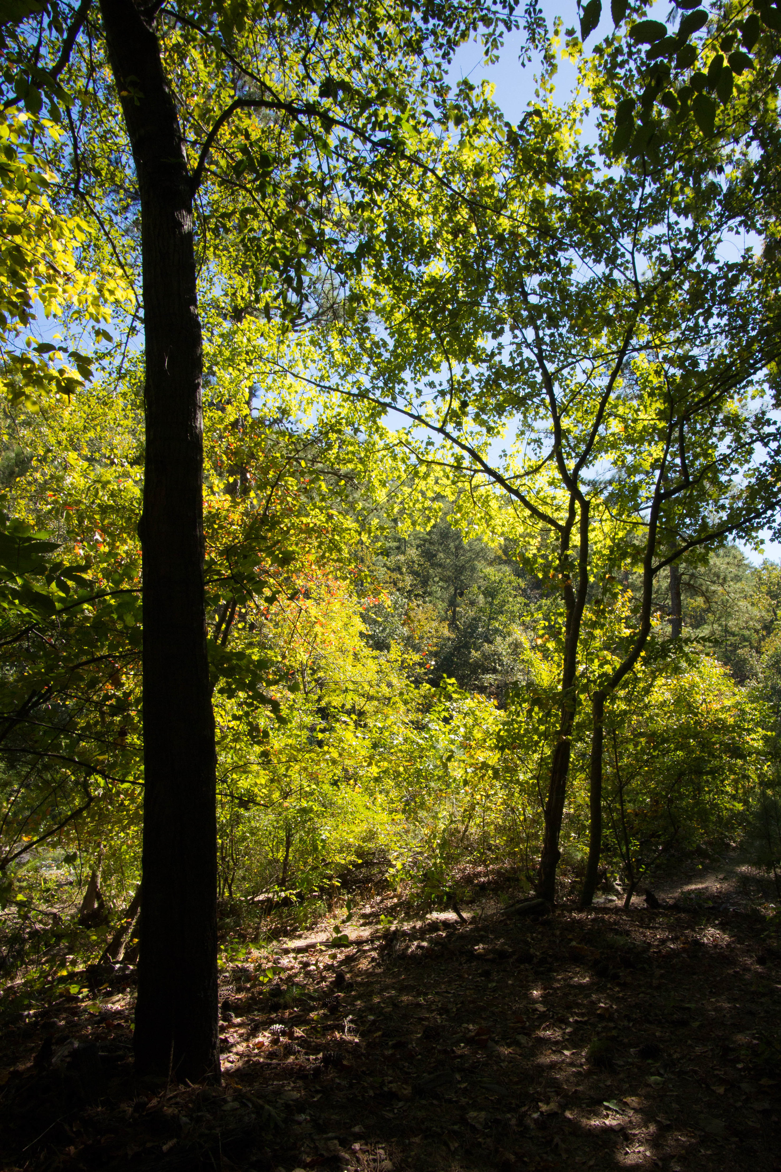
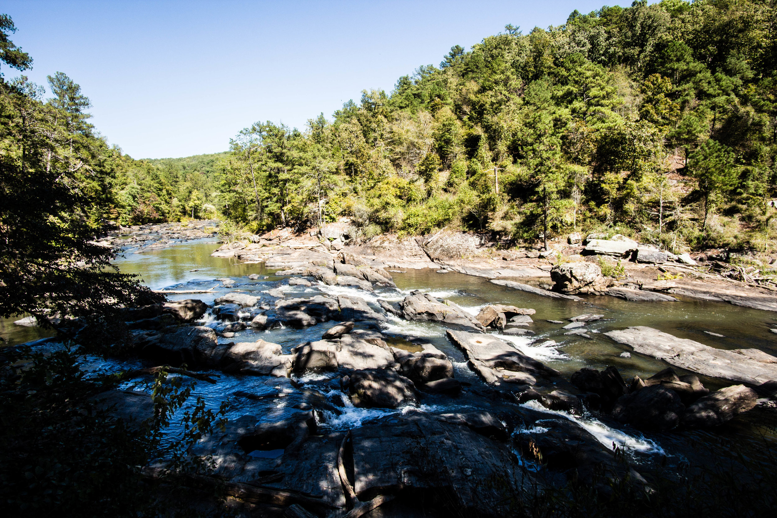
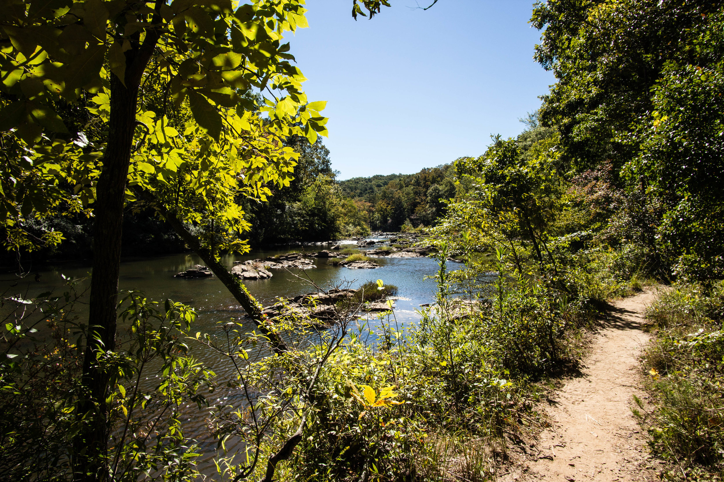
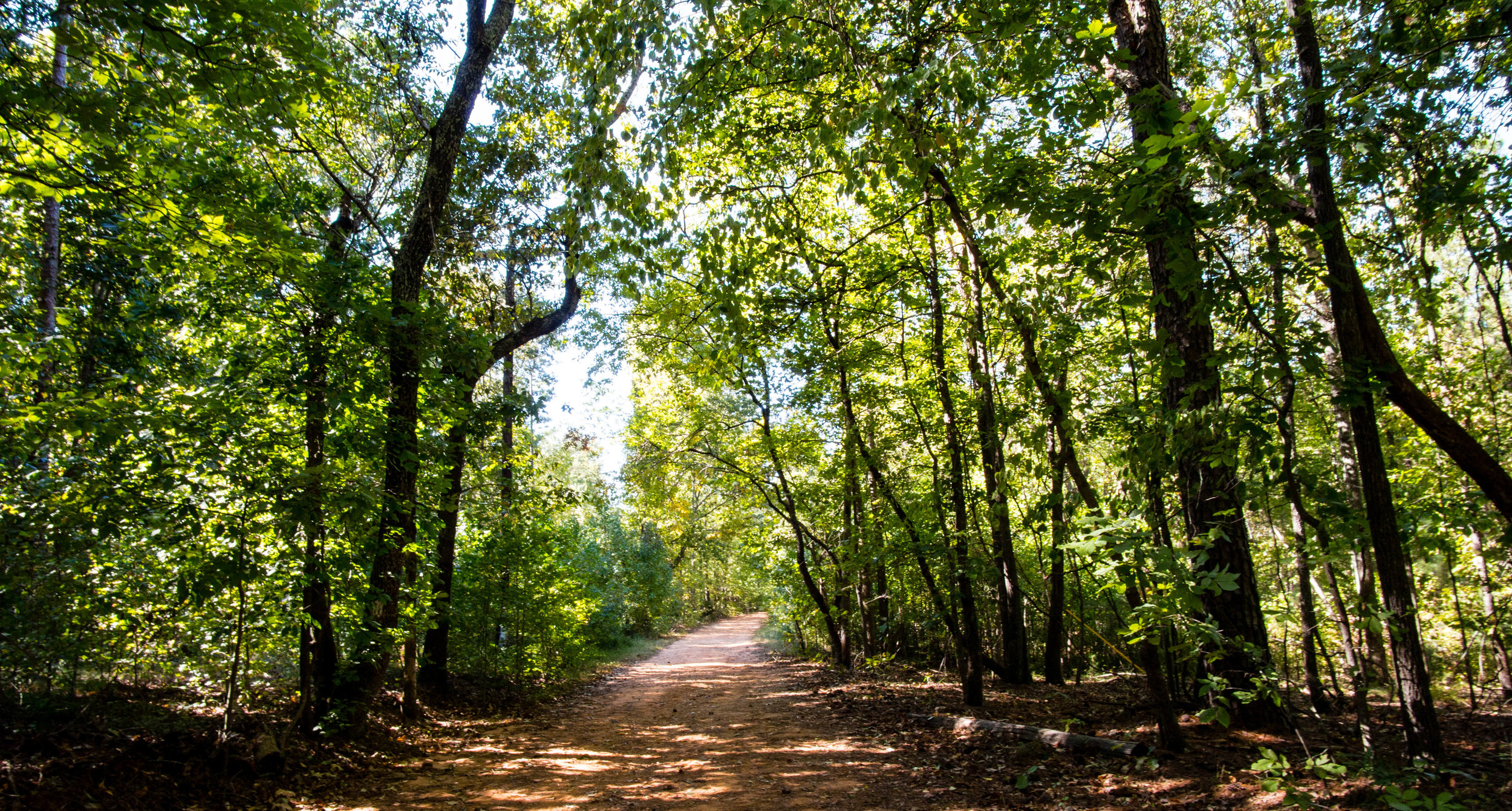
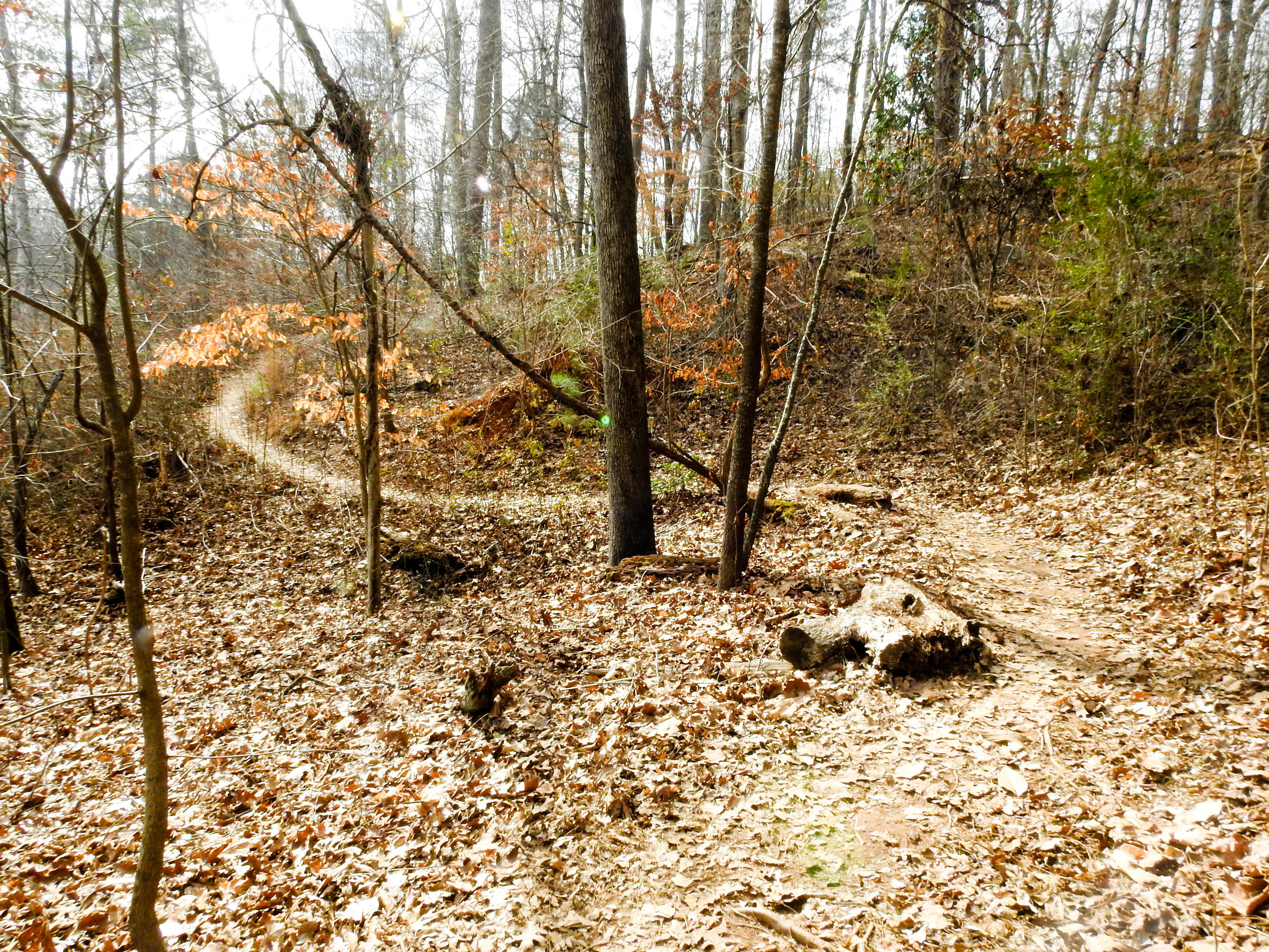
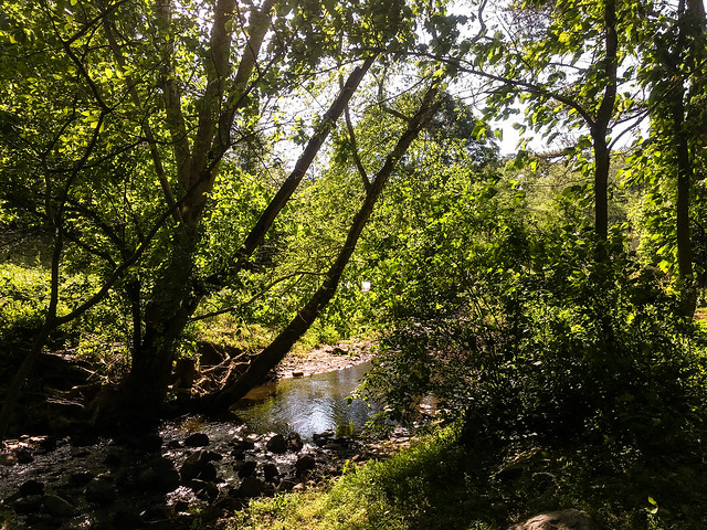
It seems the largest attraction to Morgan Falls Overlook Park is the huge playground. That said, the park has other attractions too, including great views of the river and a short nature trail. The nature trail has two trailheads, one from the west side of the parking lot, and the other at the north end of the pavilion.

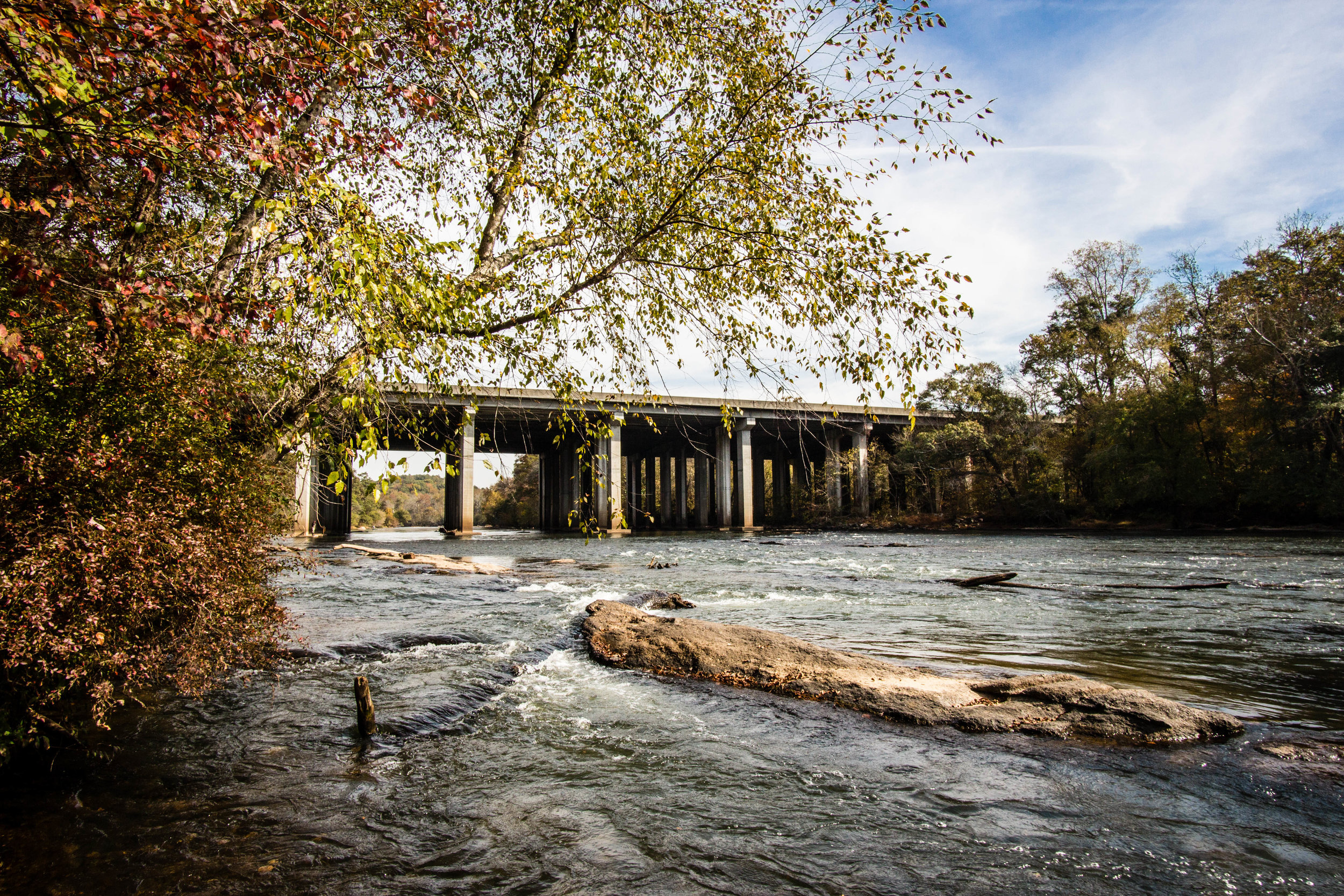
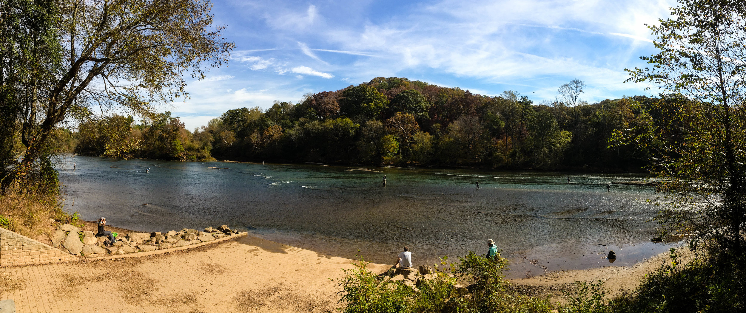
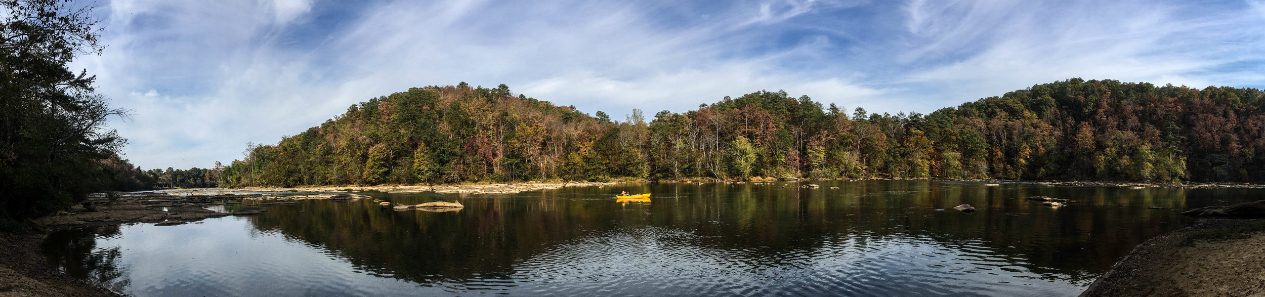
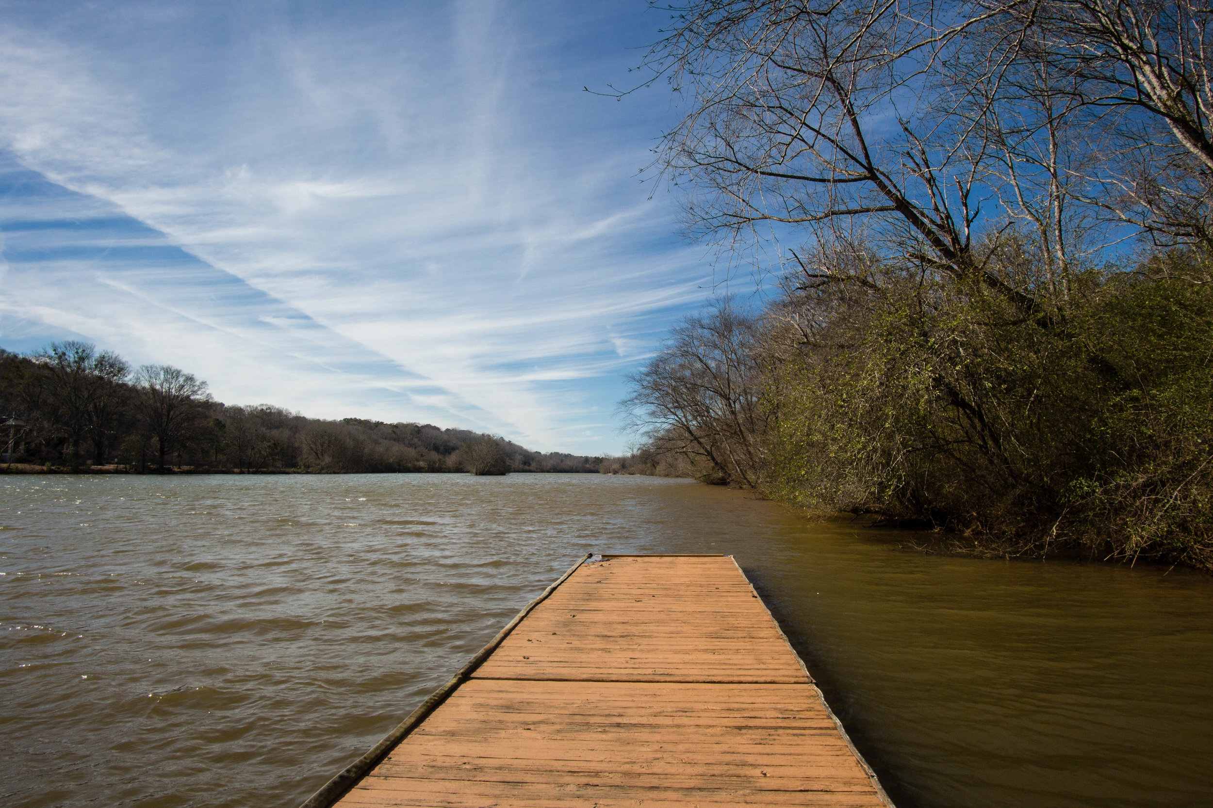
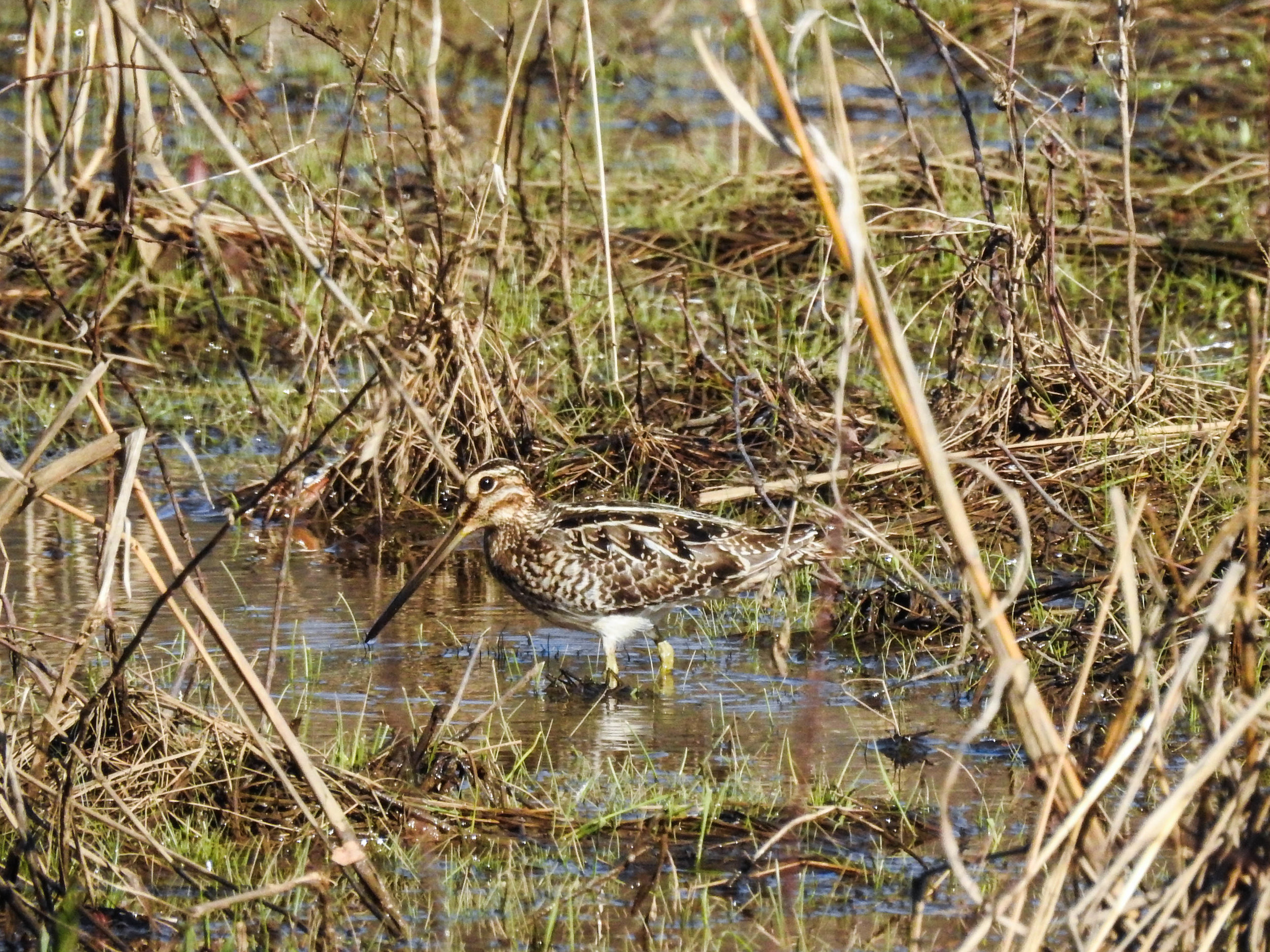
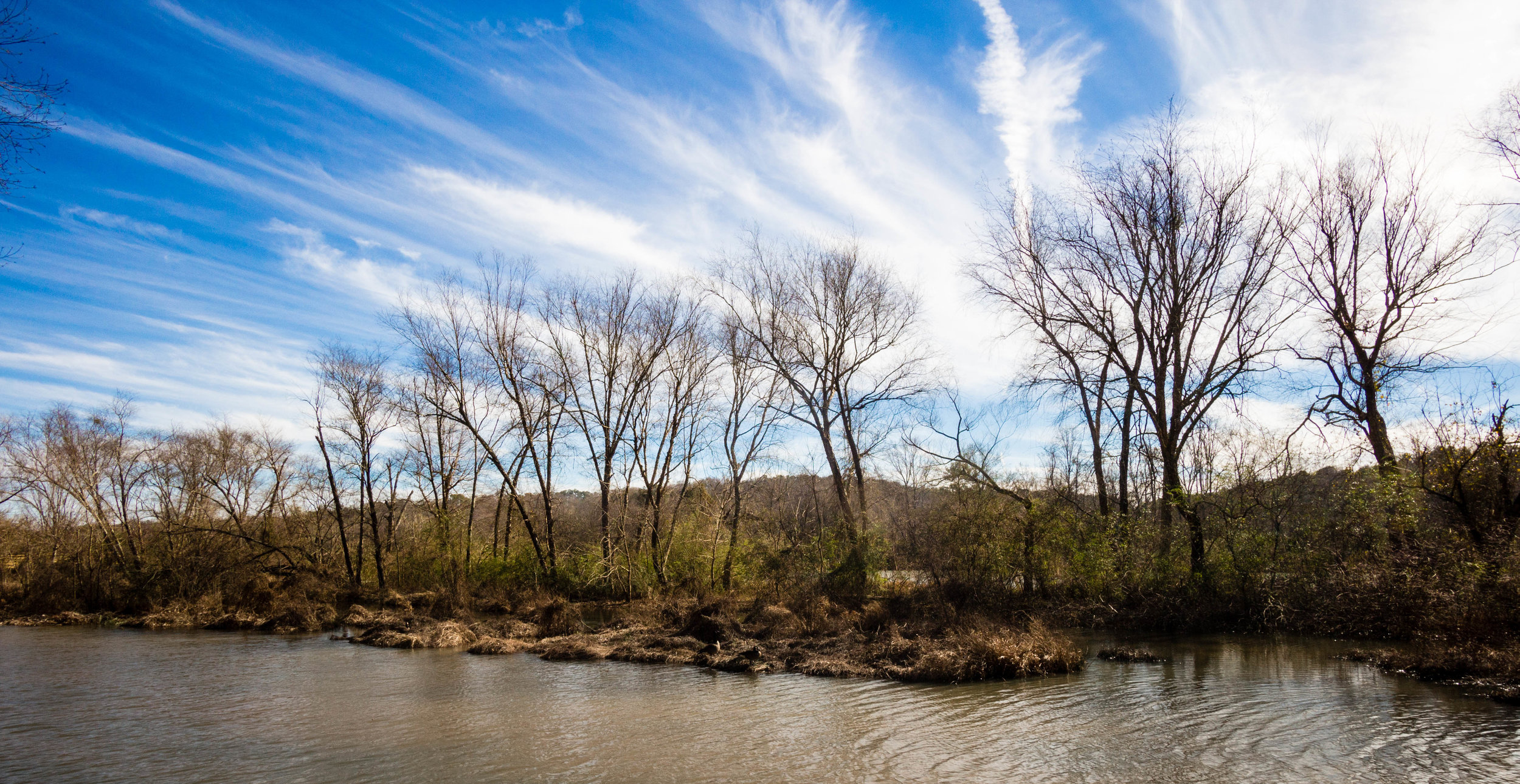
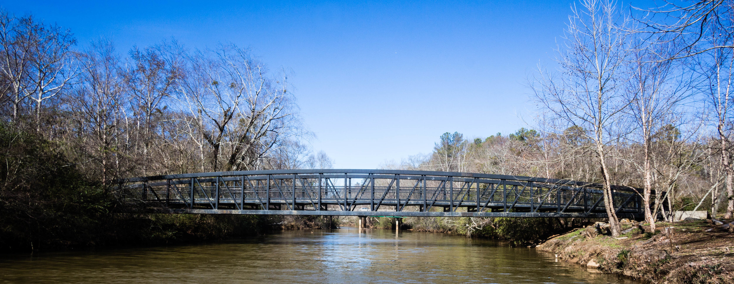
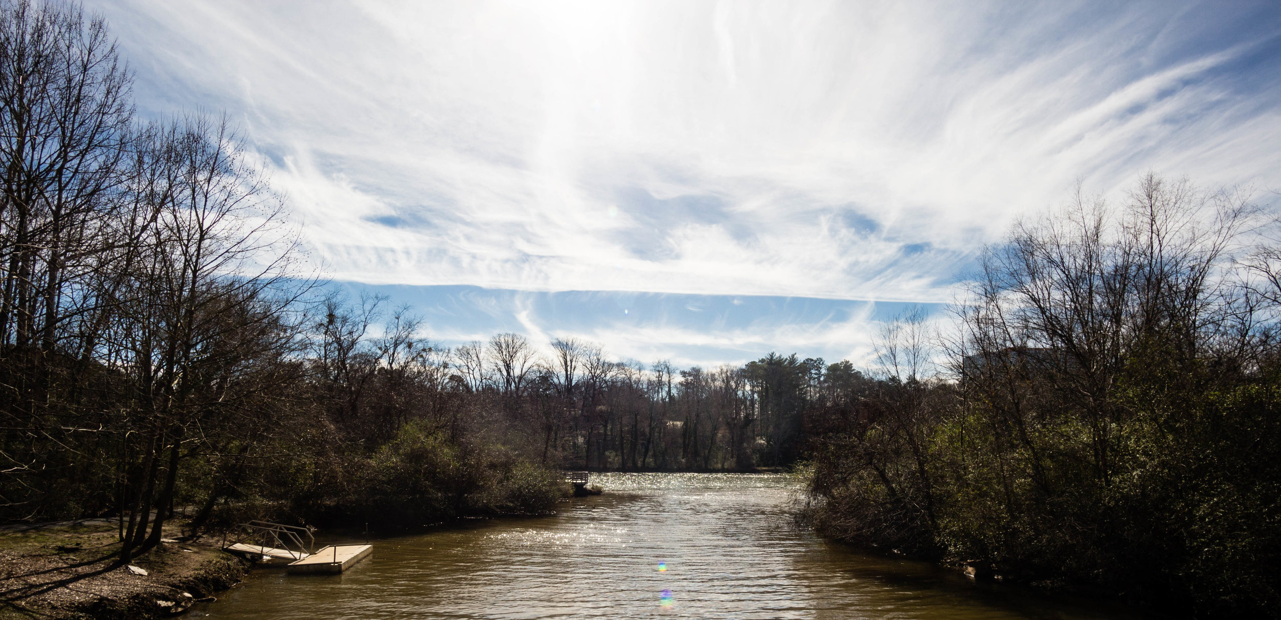
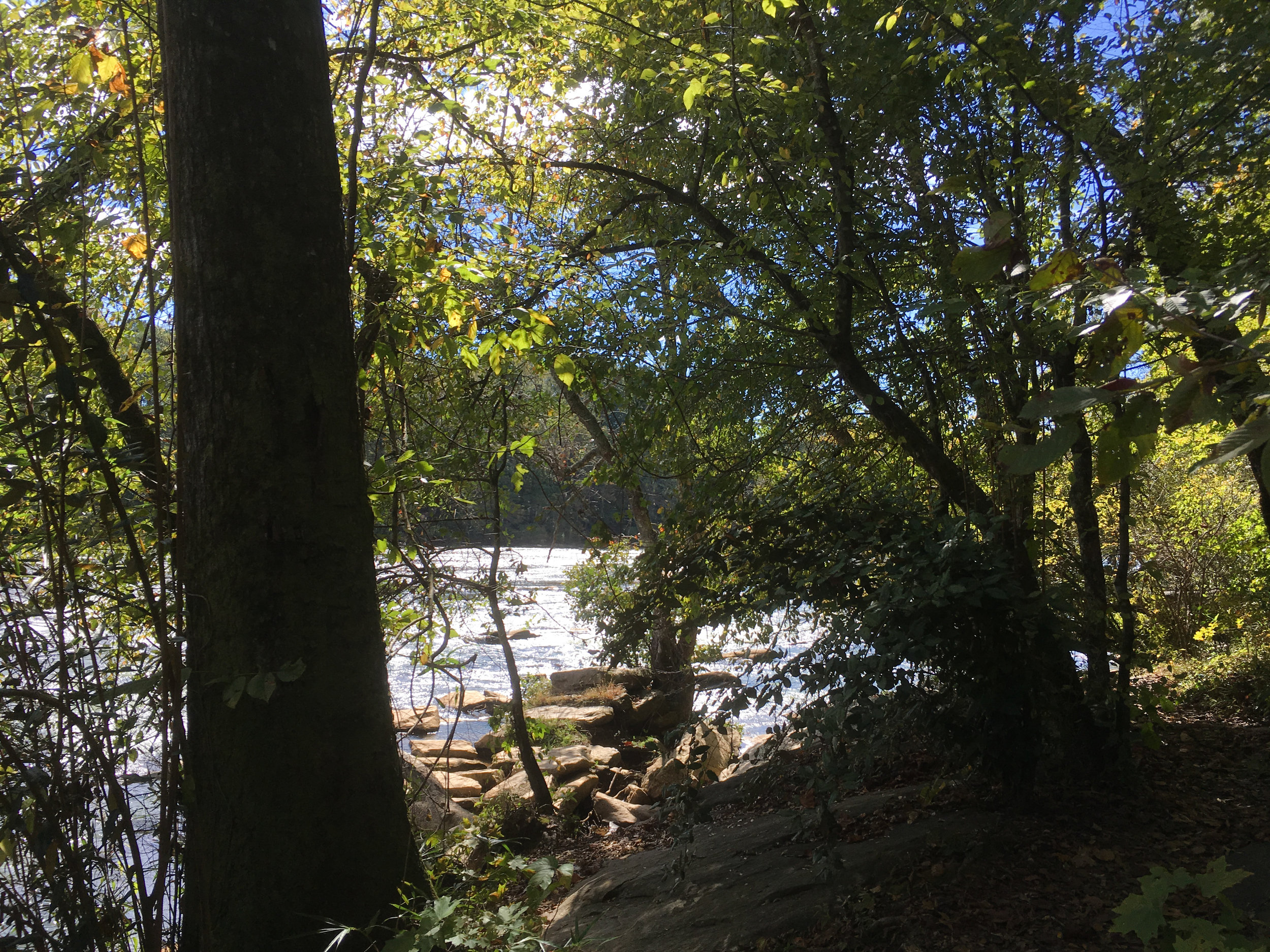
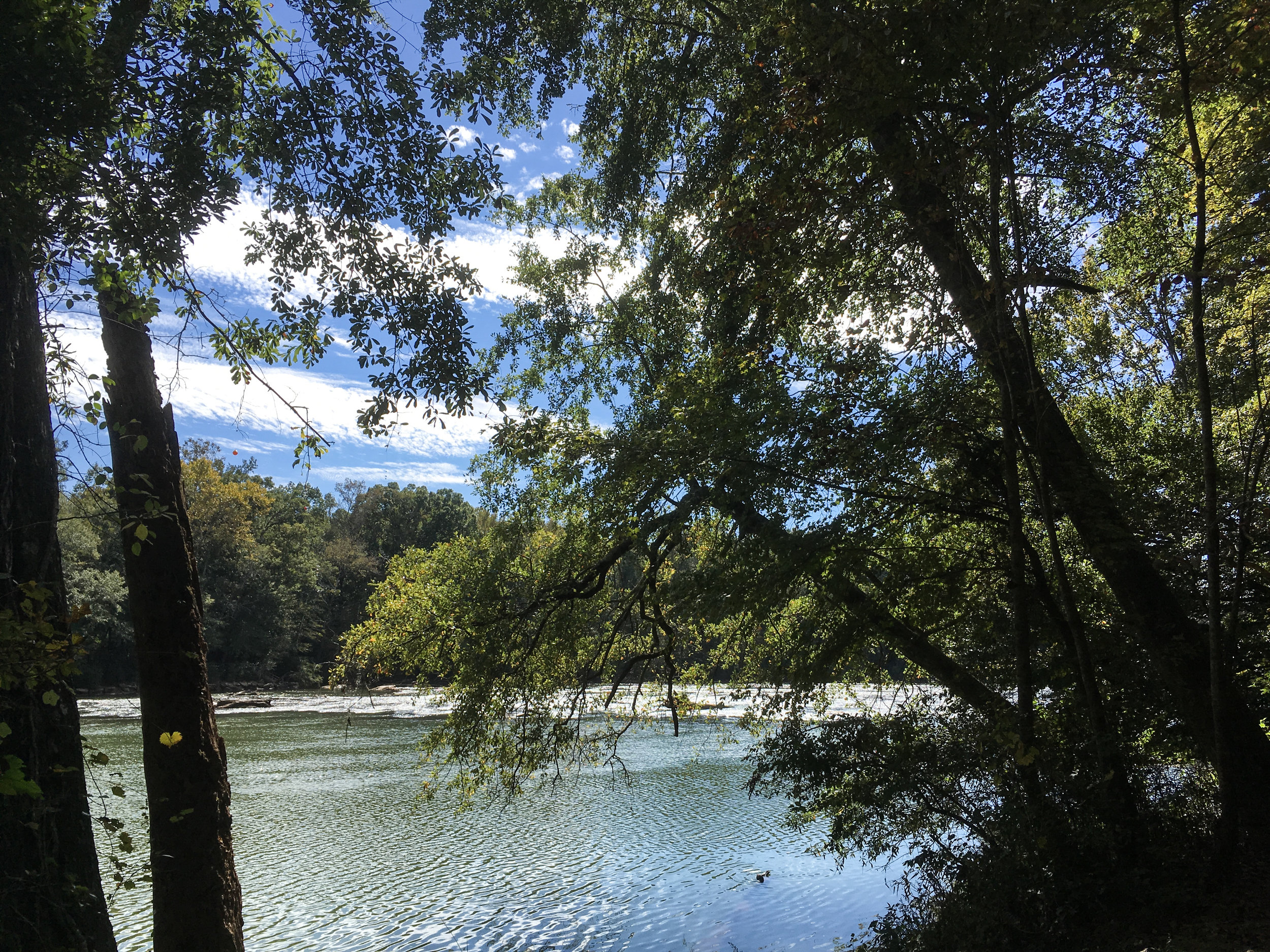
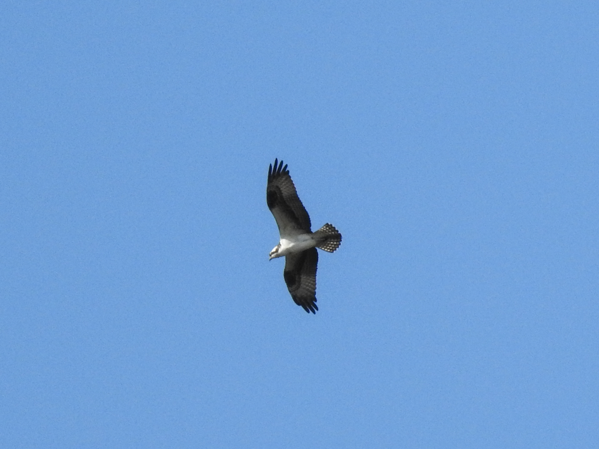
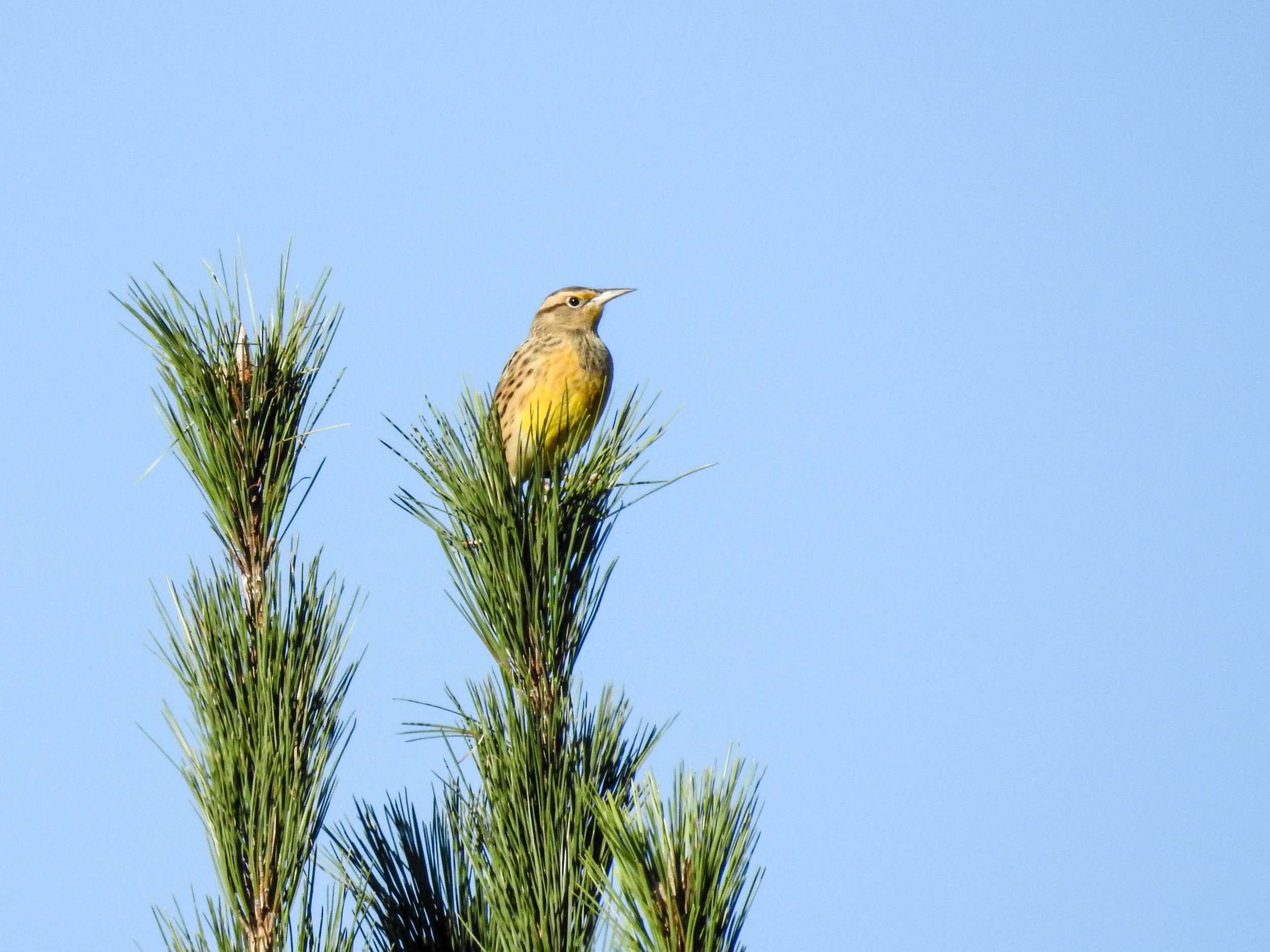
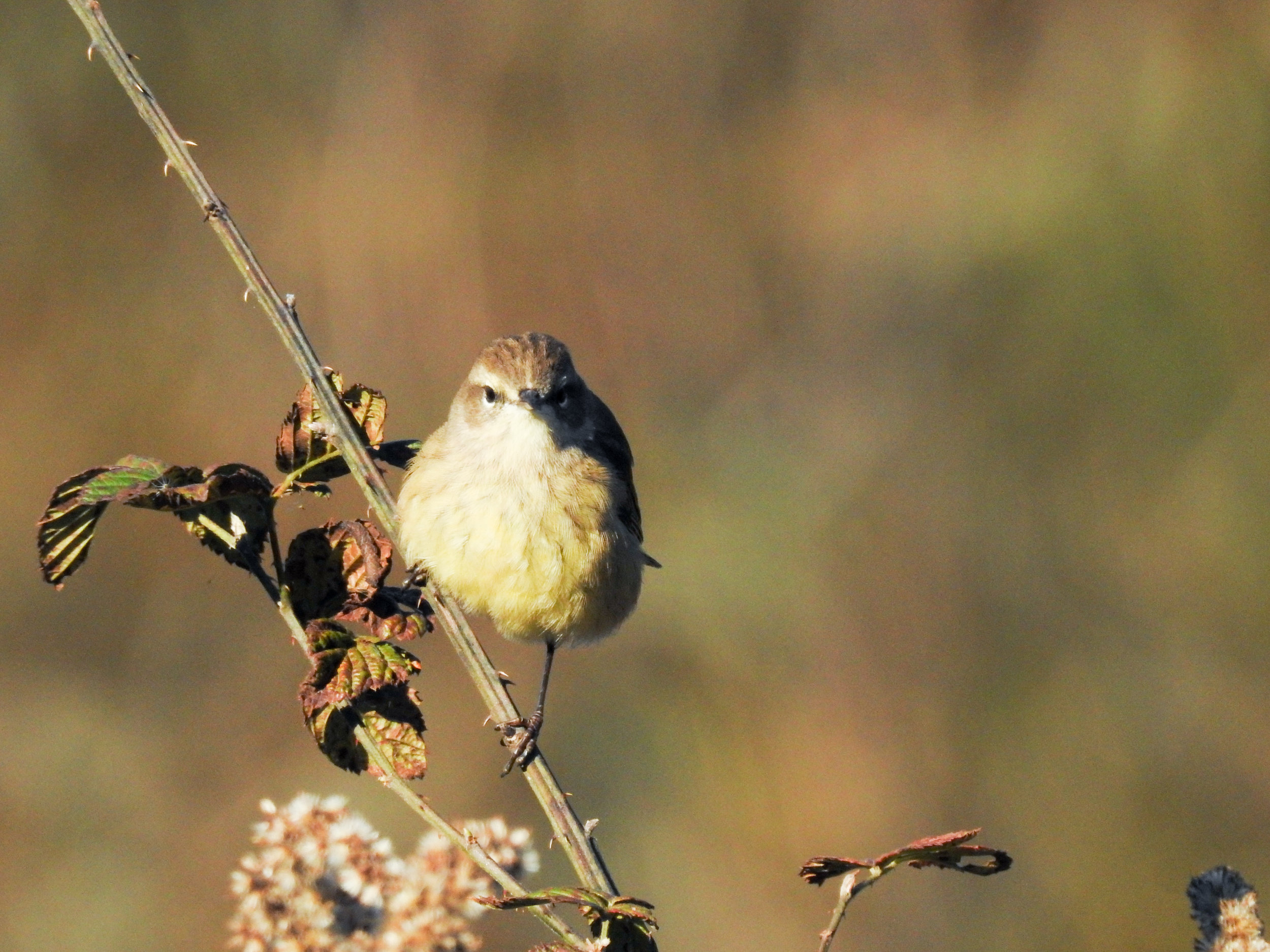
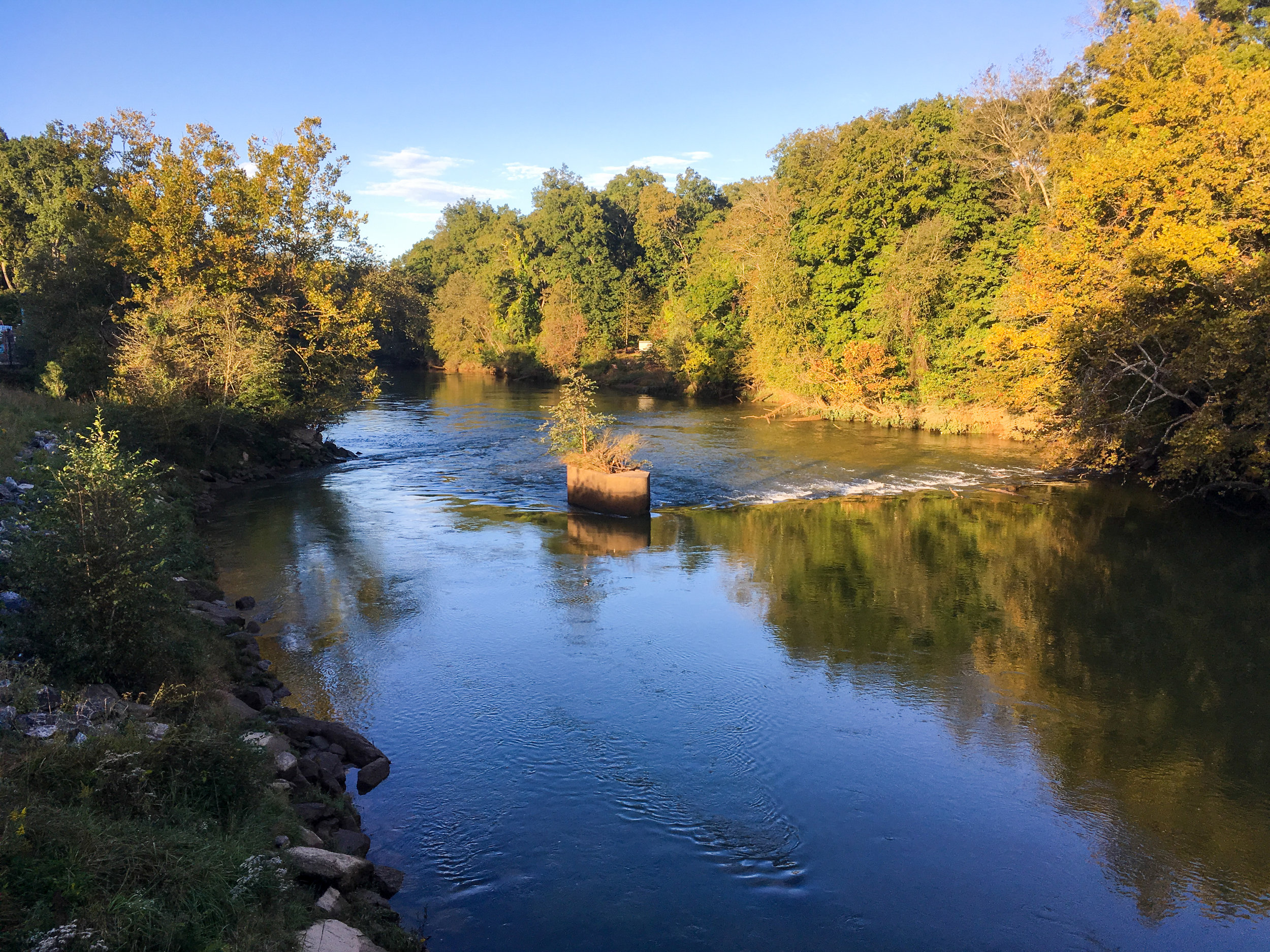
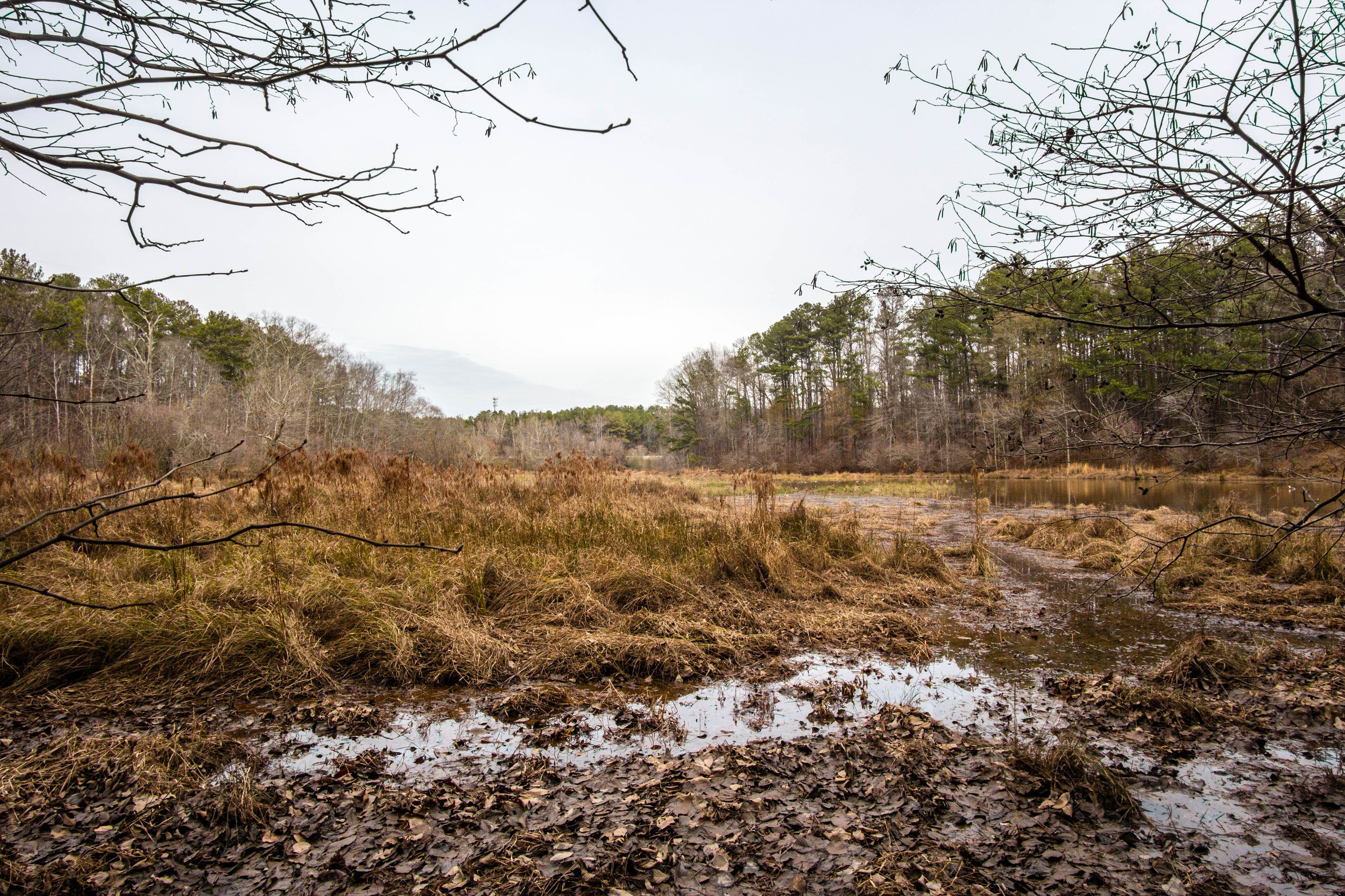
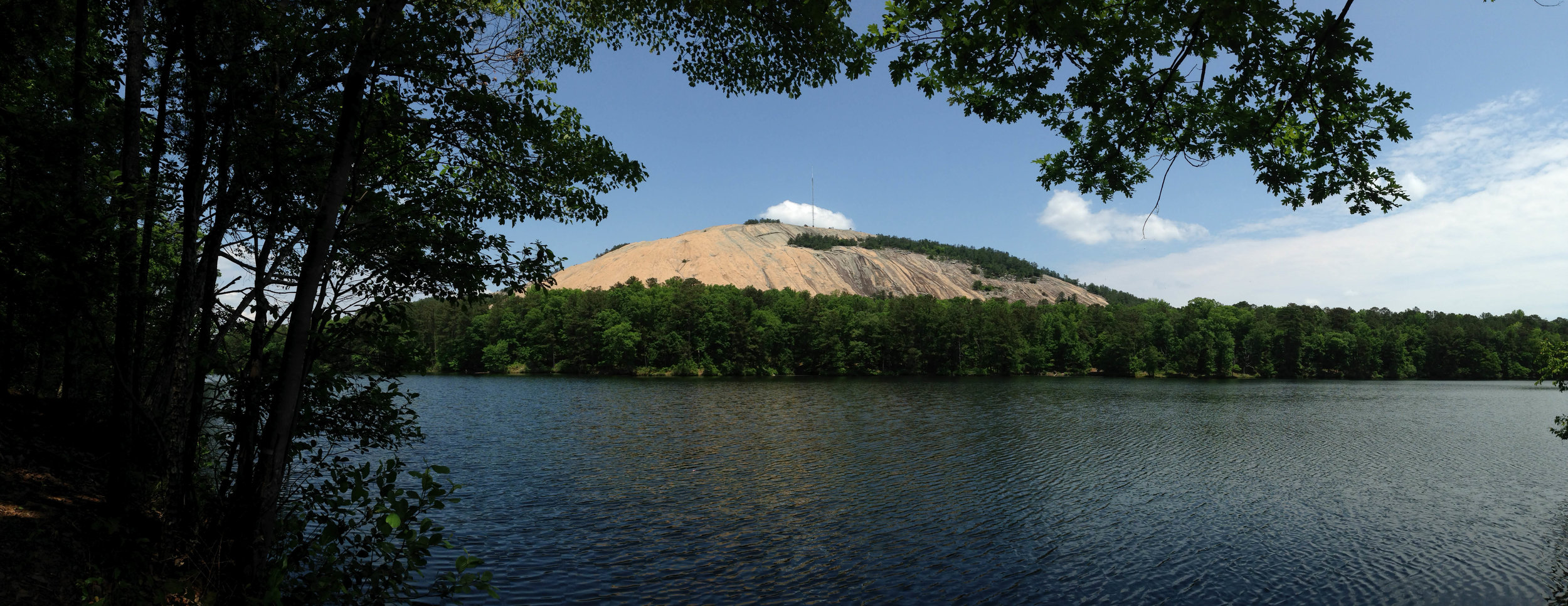
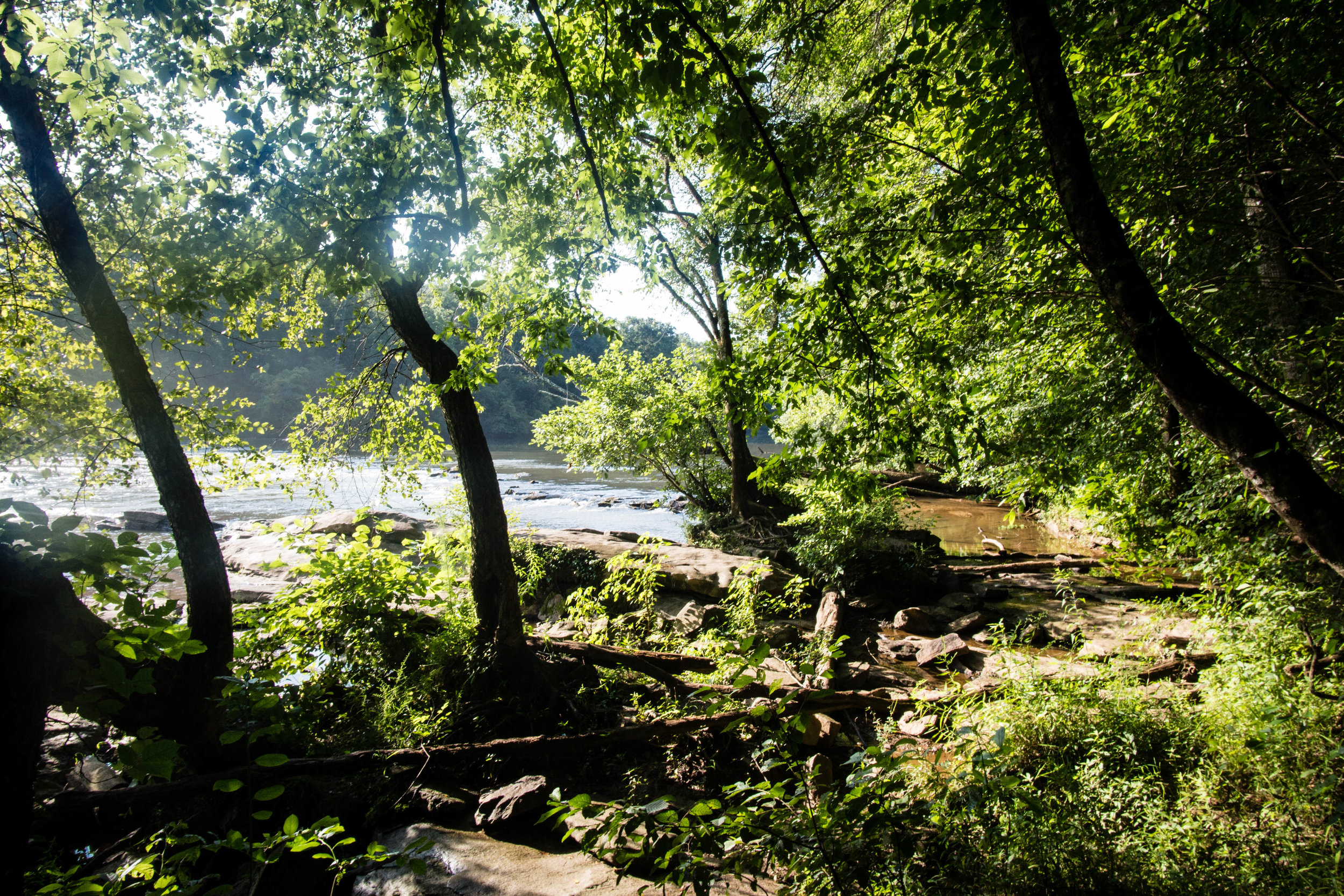
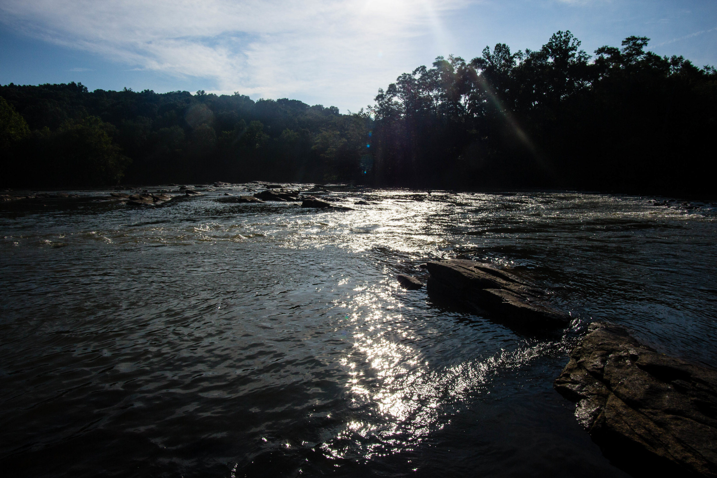
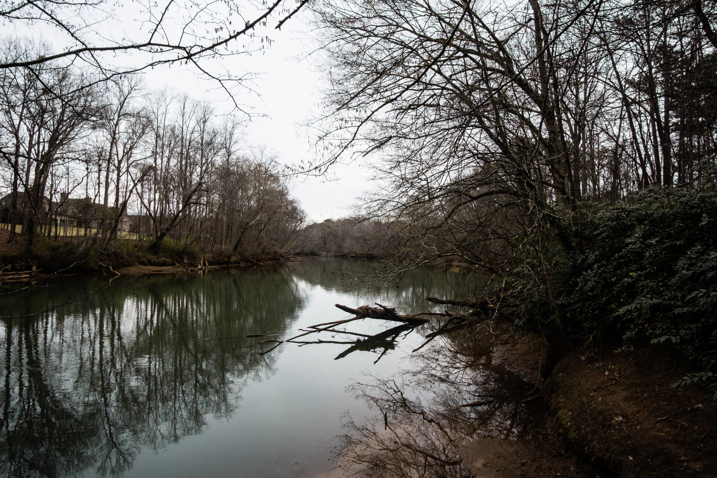
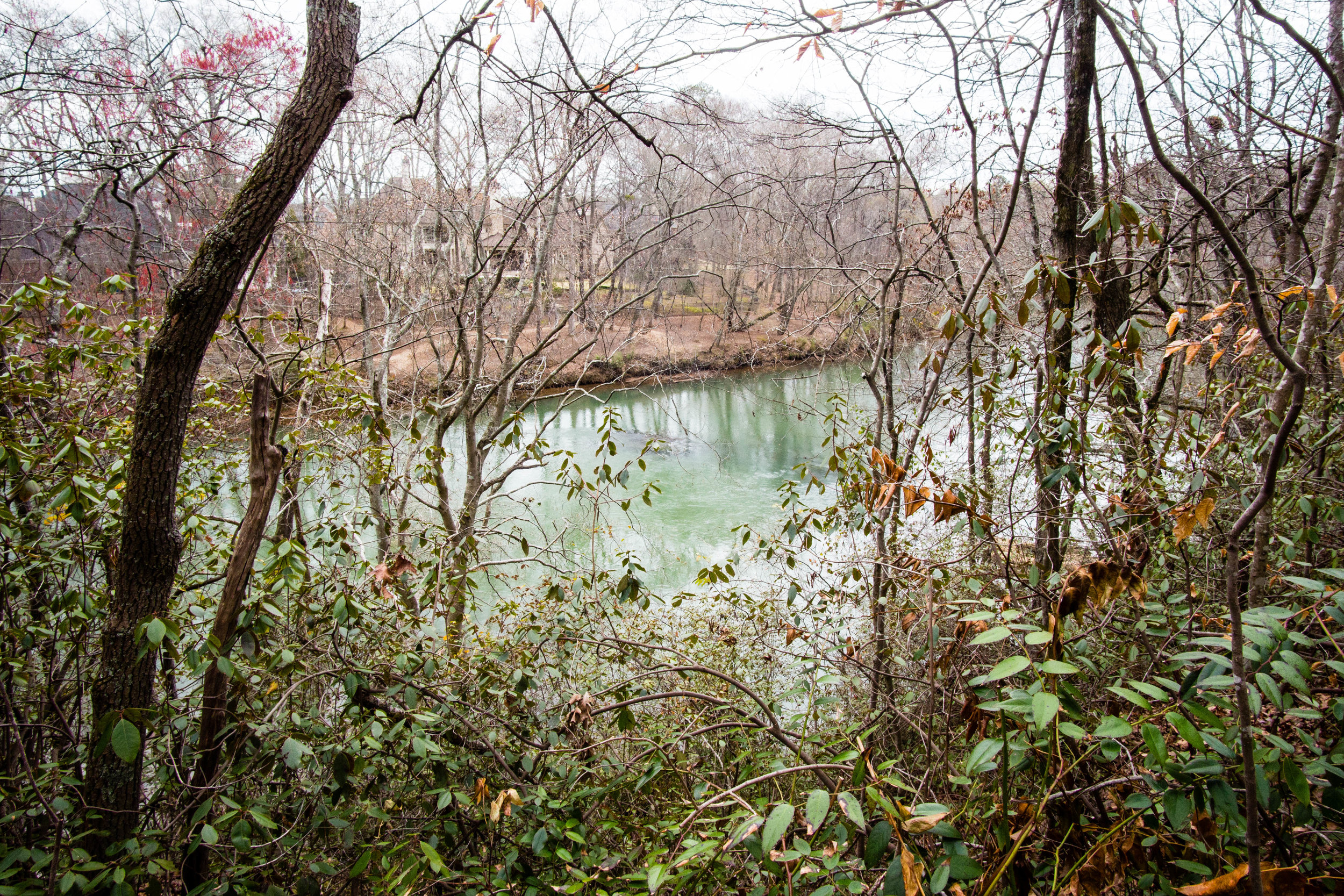
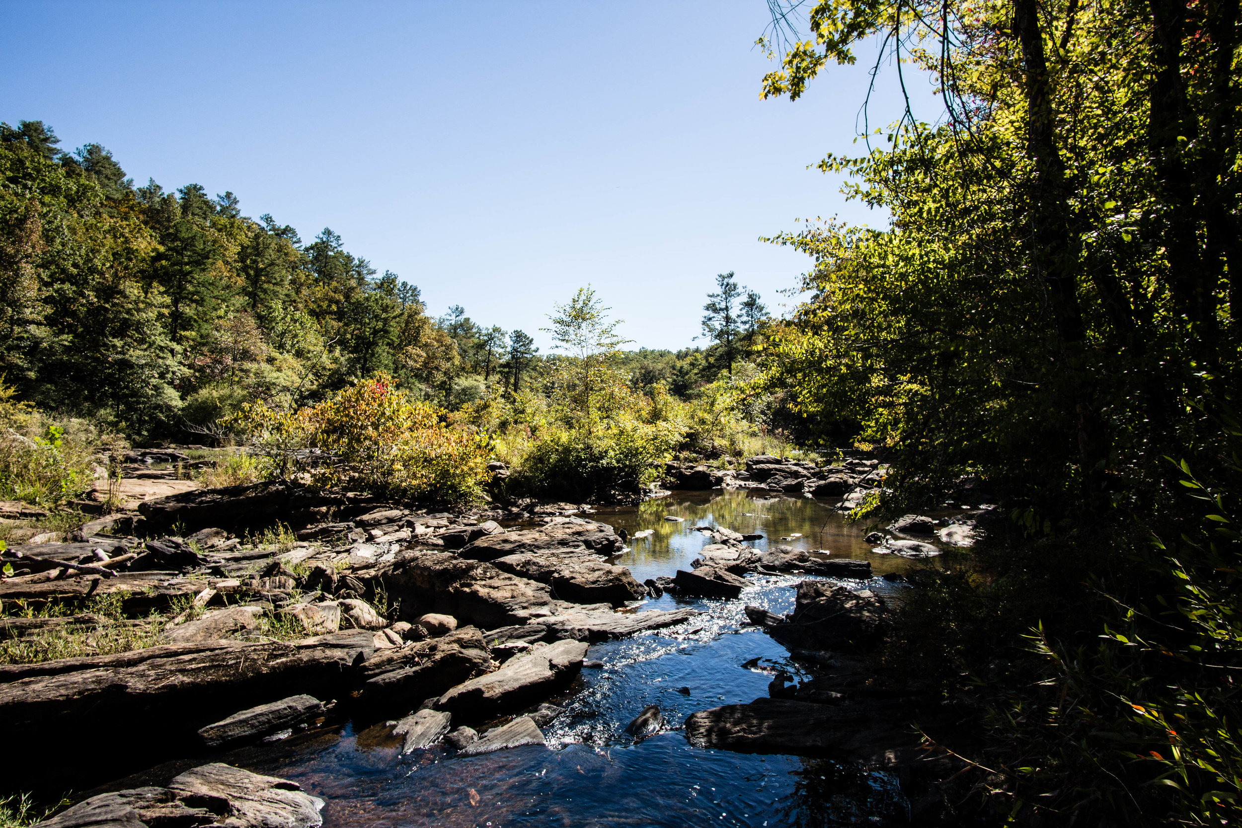
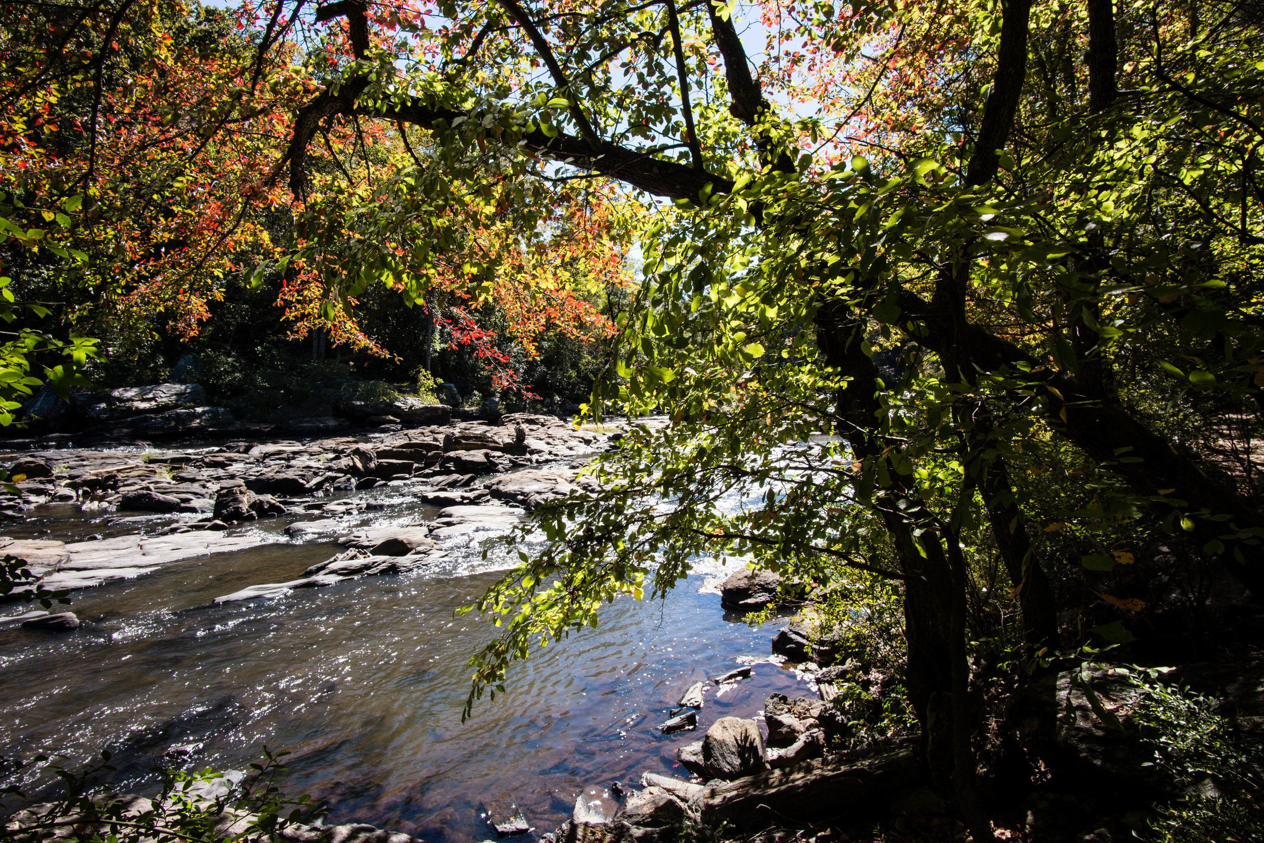
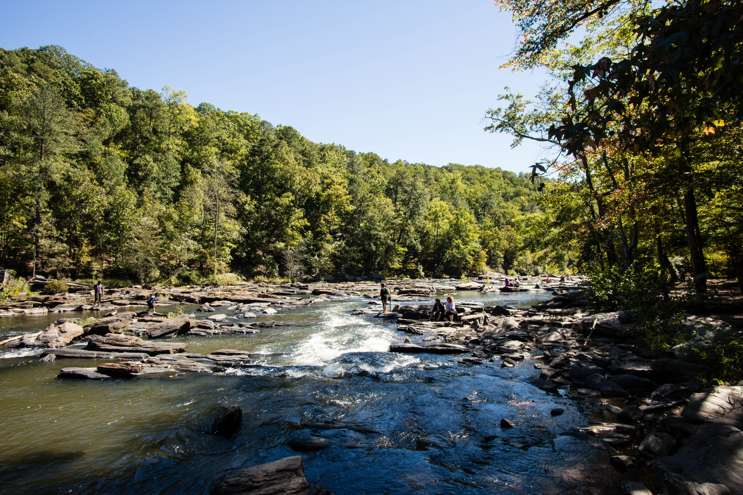
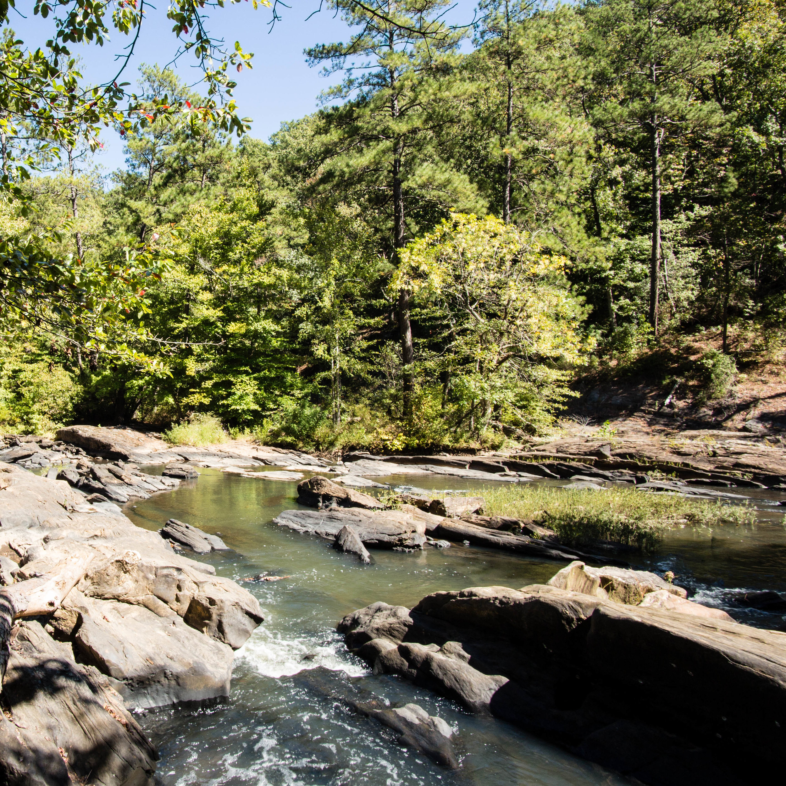
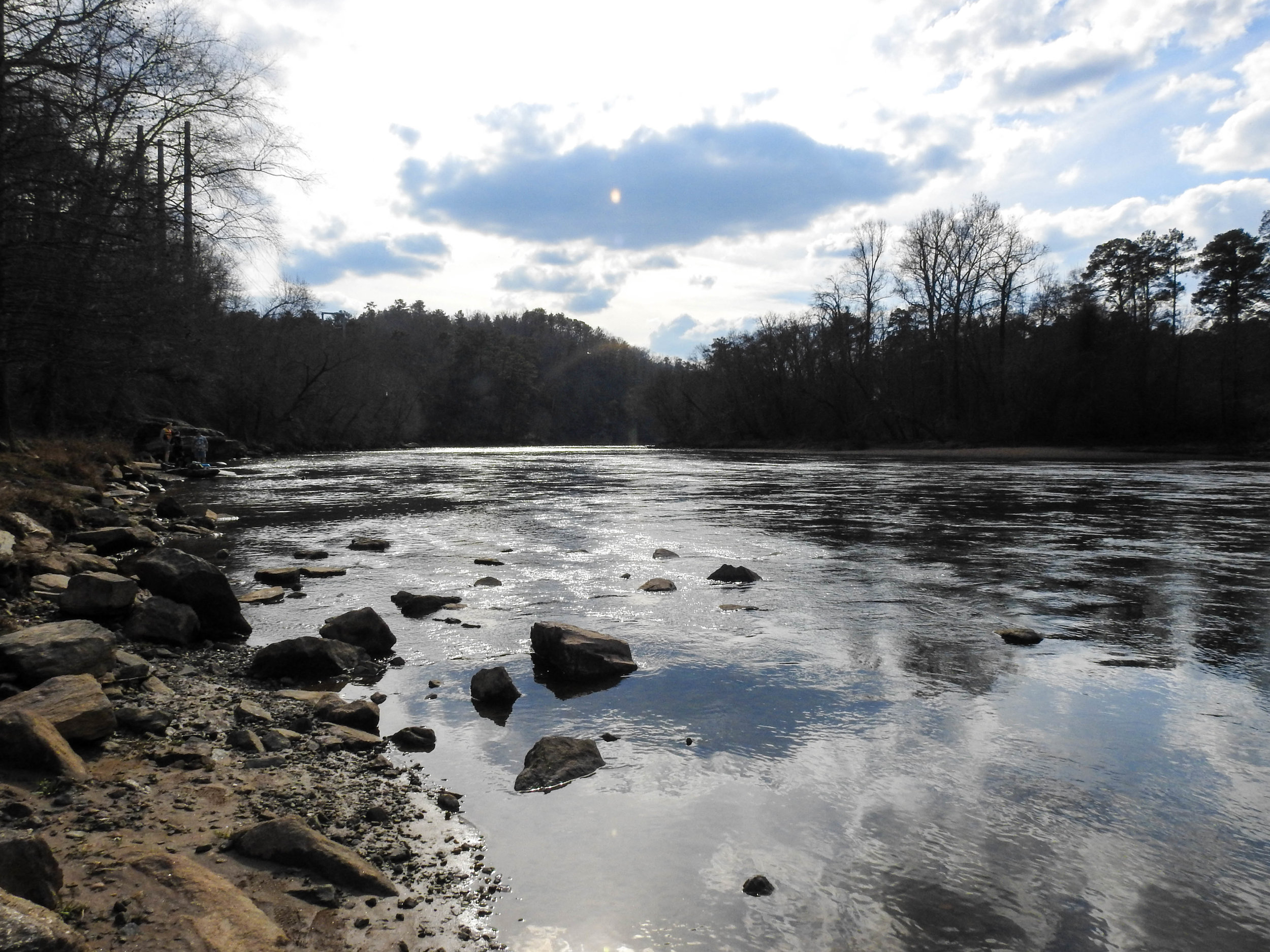
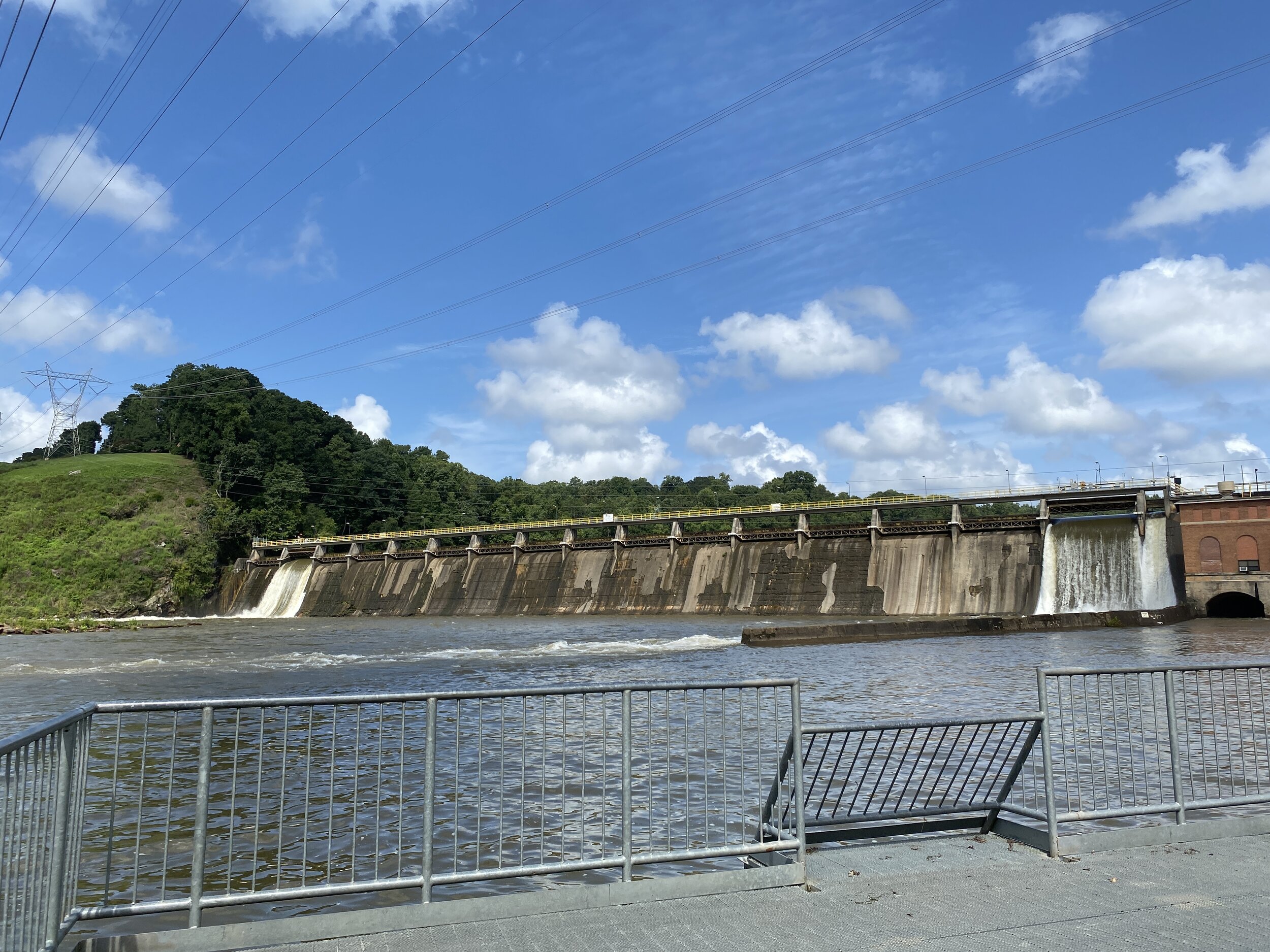
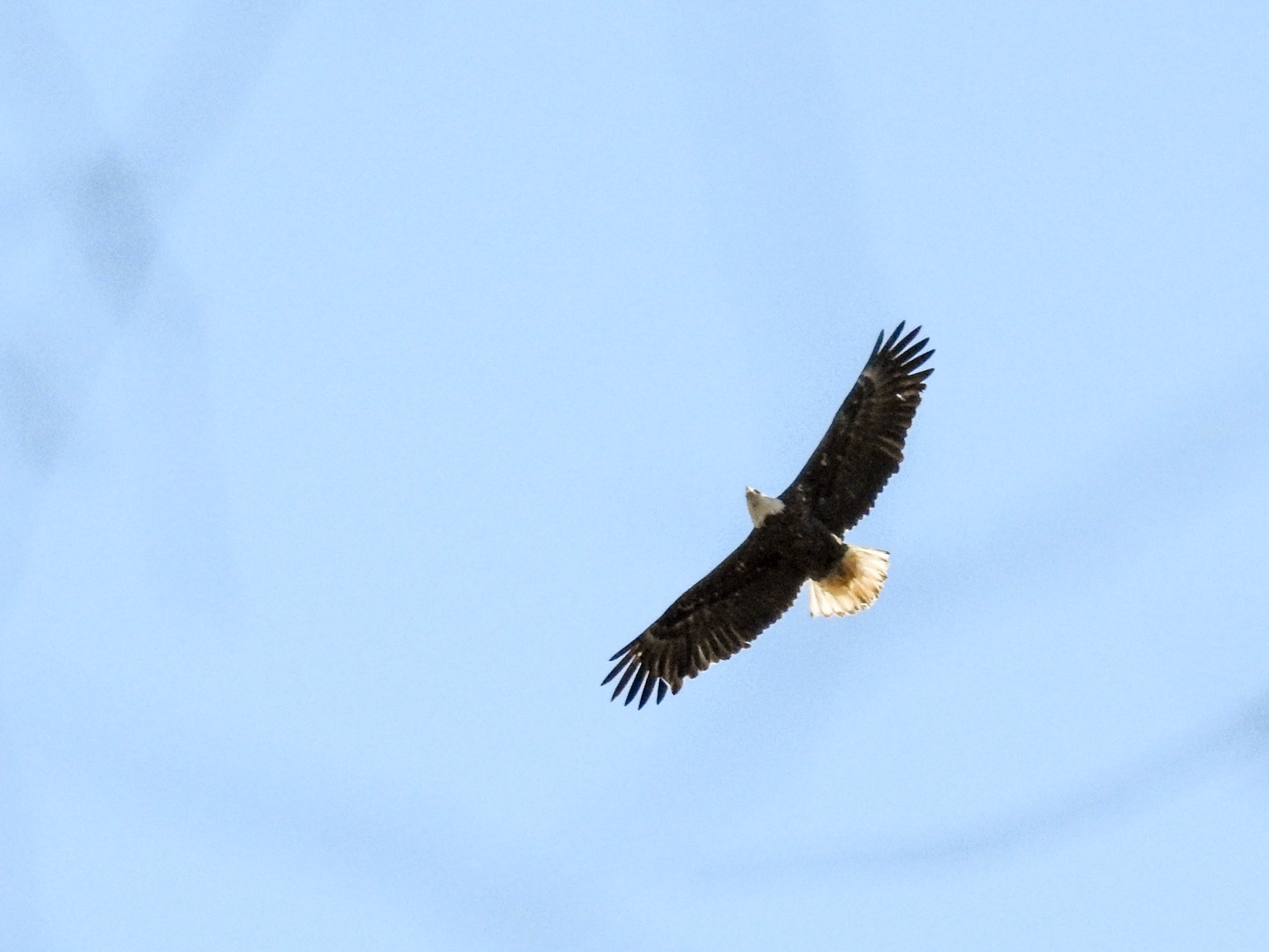
Birders – or those with dogs – will want to walk or drive 1/3 of a mile to Morgan Falls River Park and Dog Park. There are no trails here, but you can walk a bit along the creek and check out the views of the dam and the river.

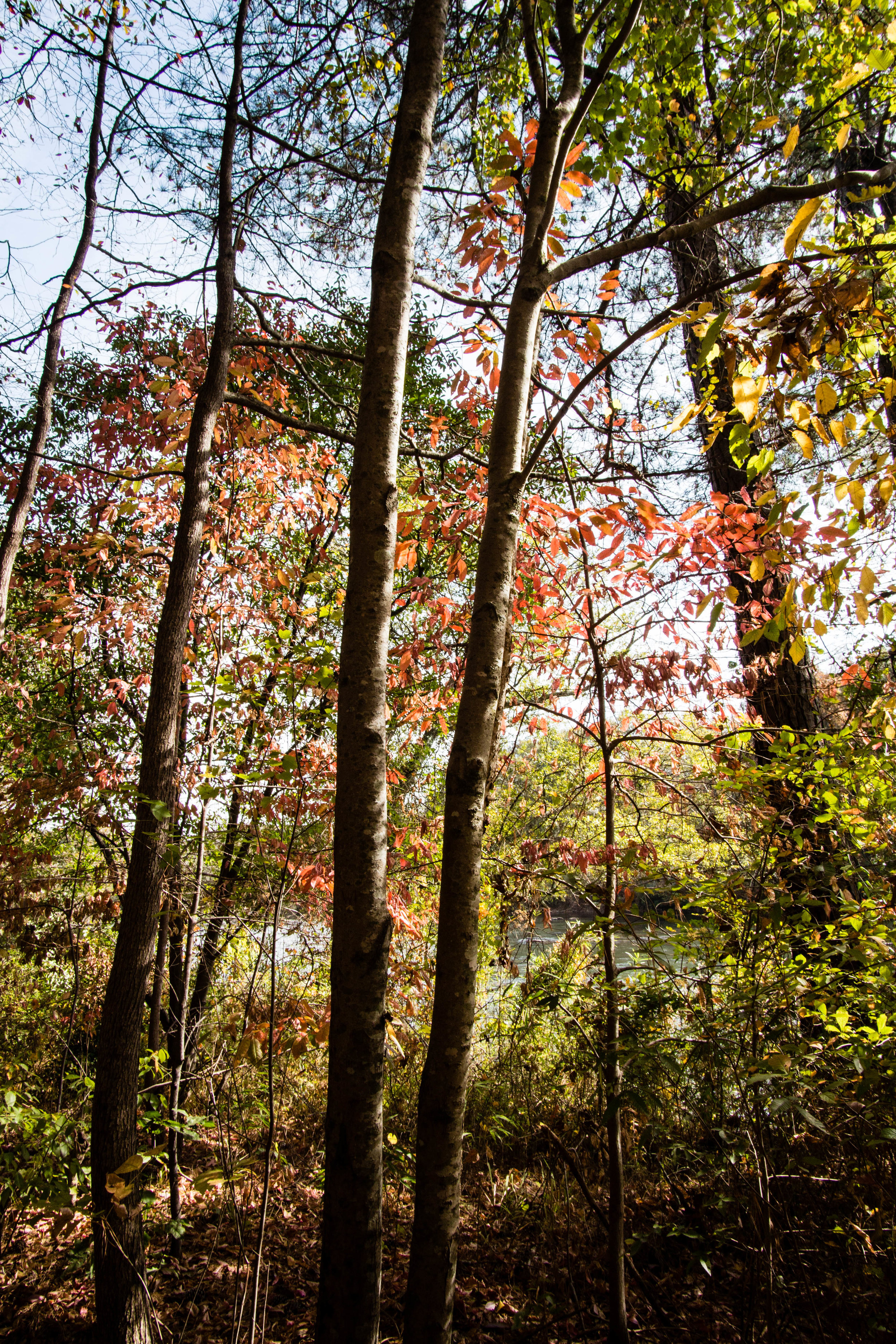
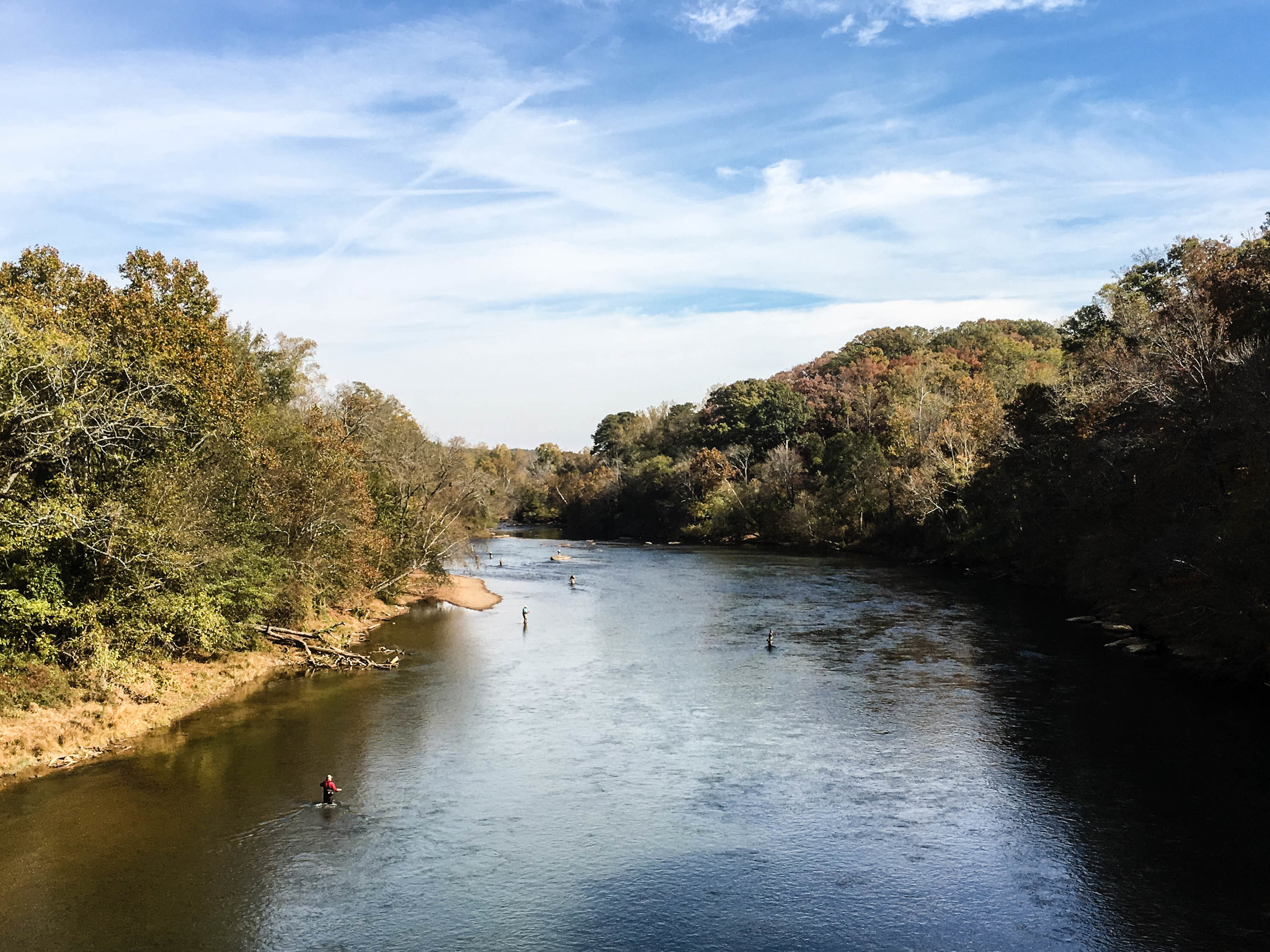
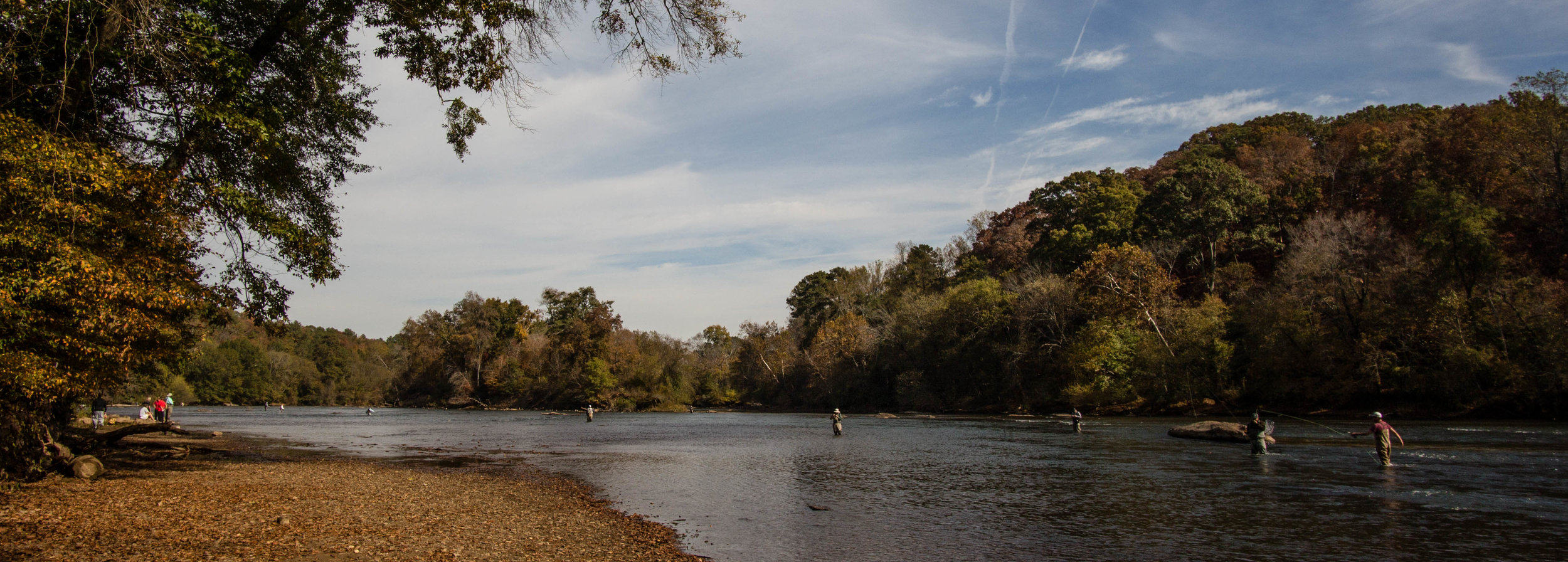
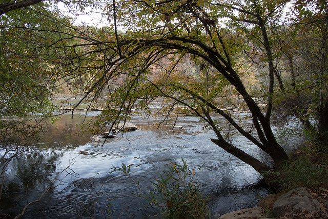
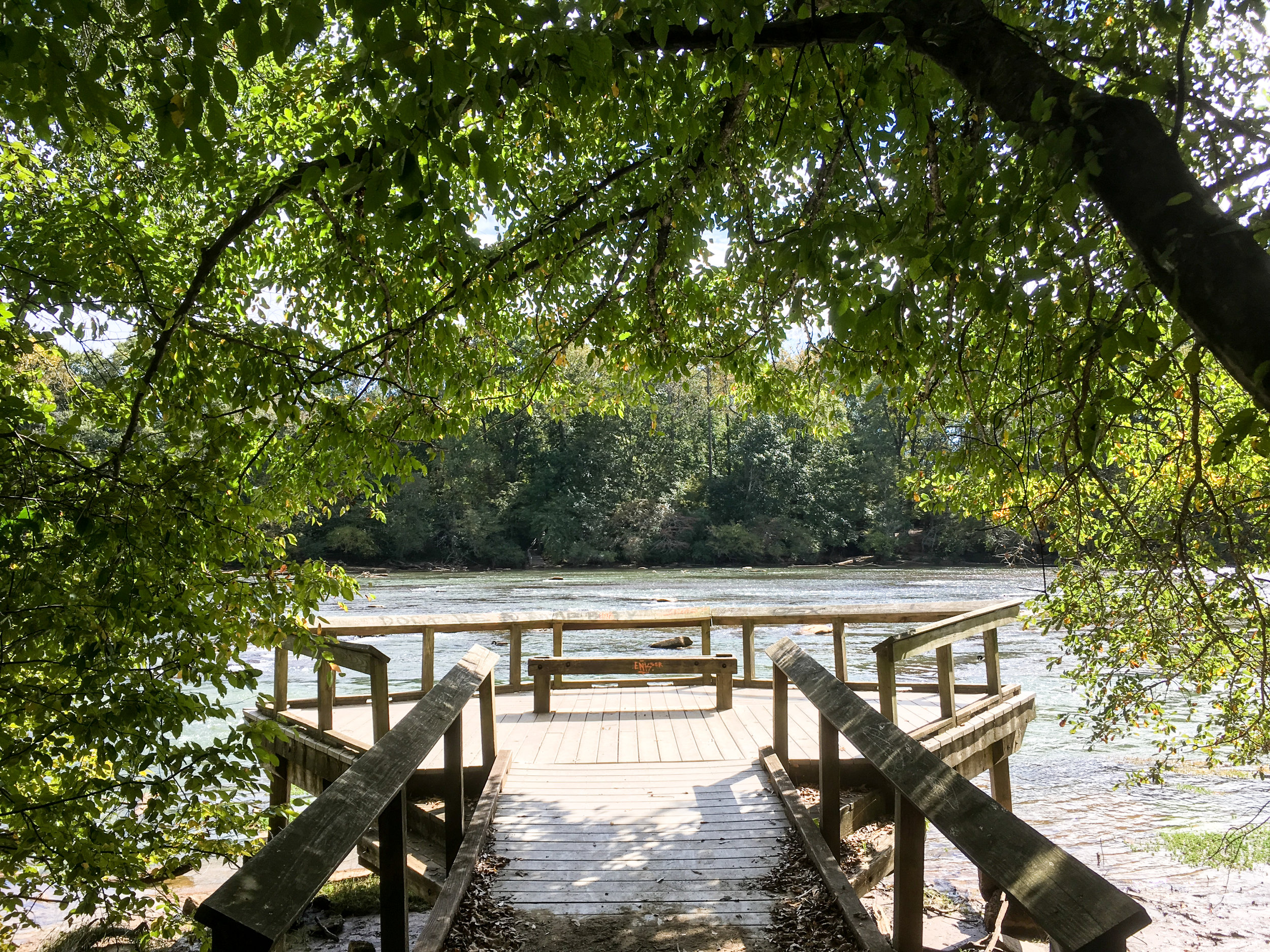
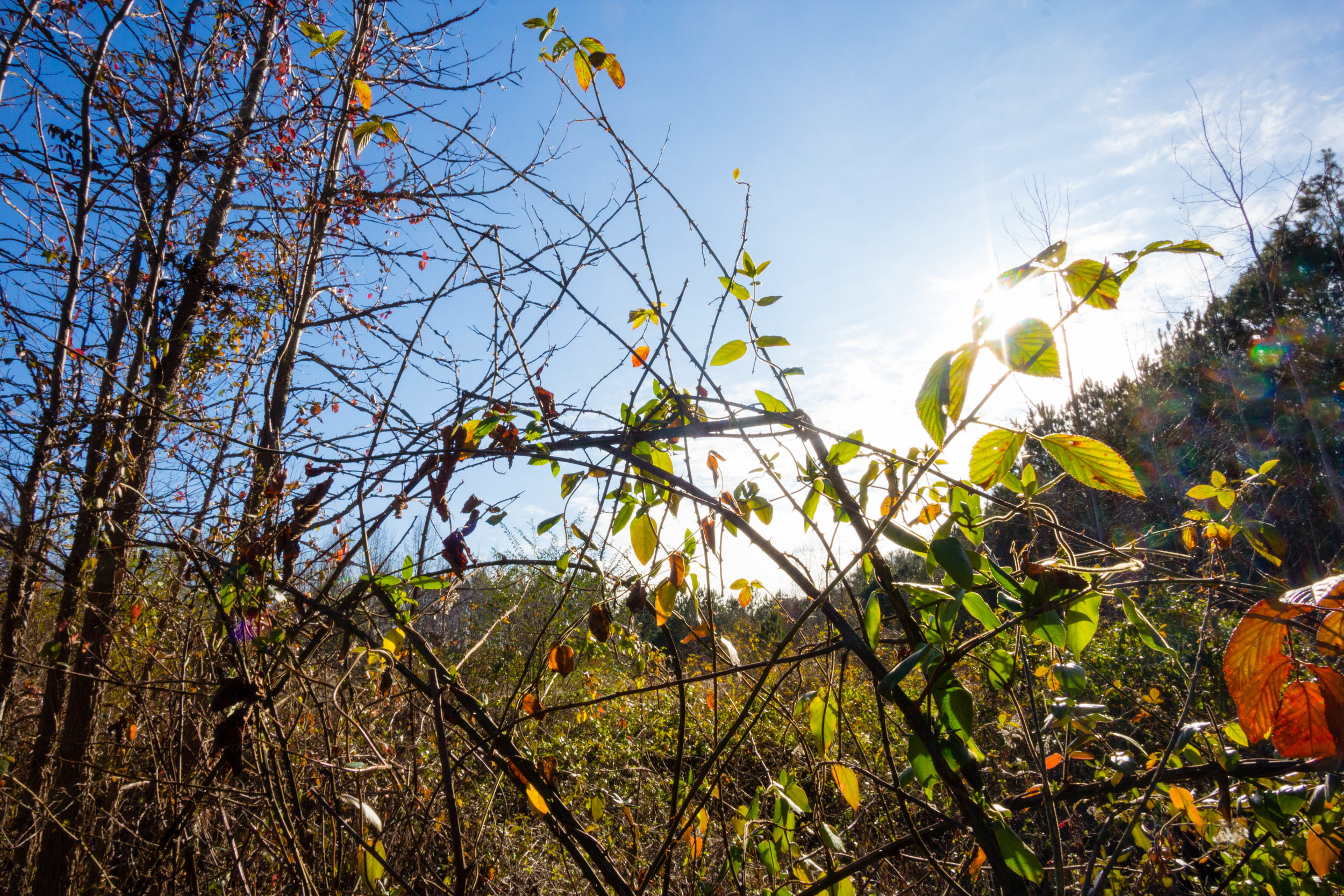
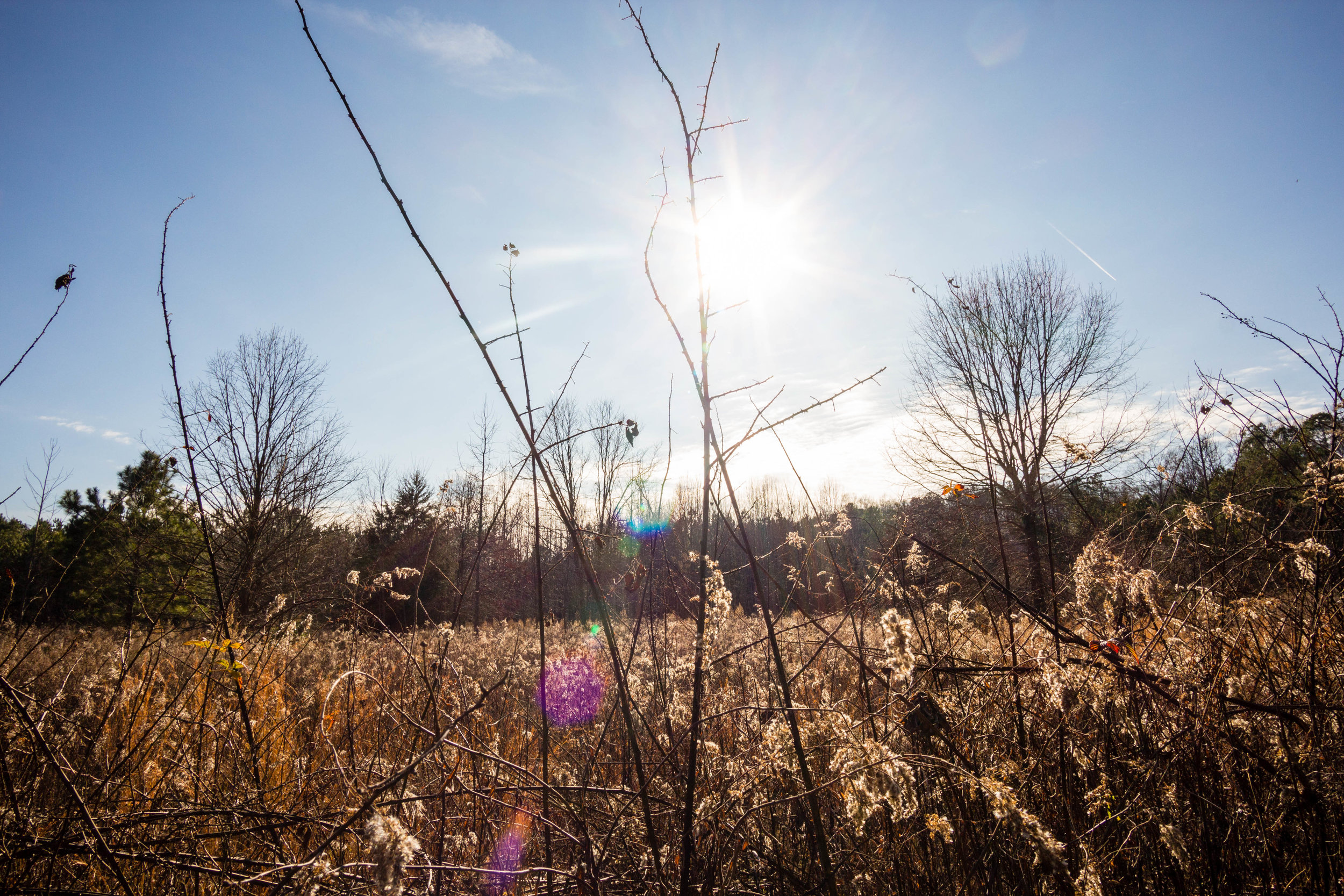
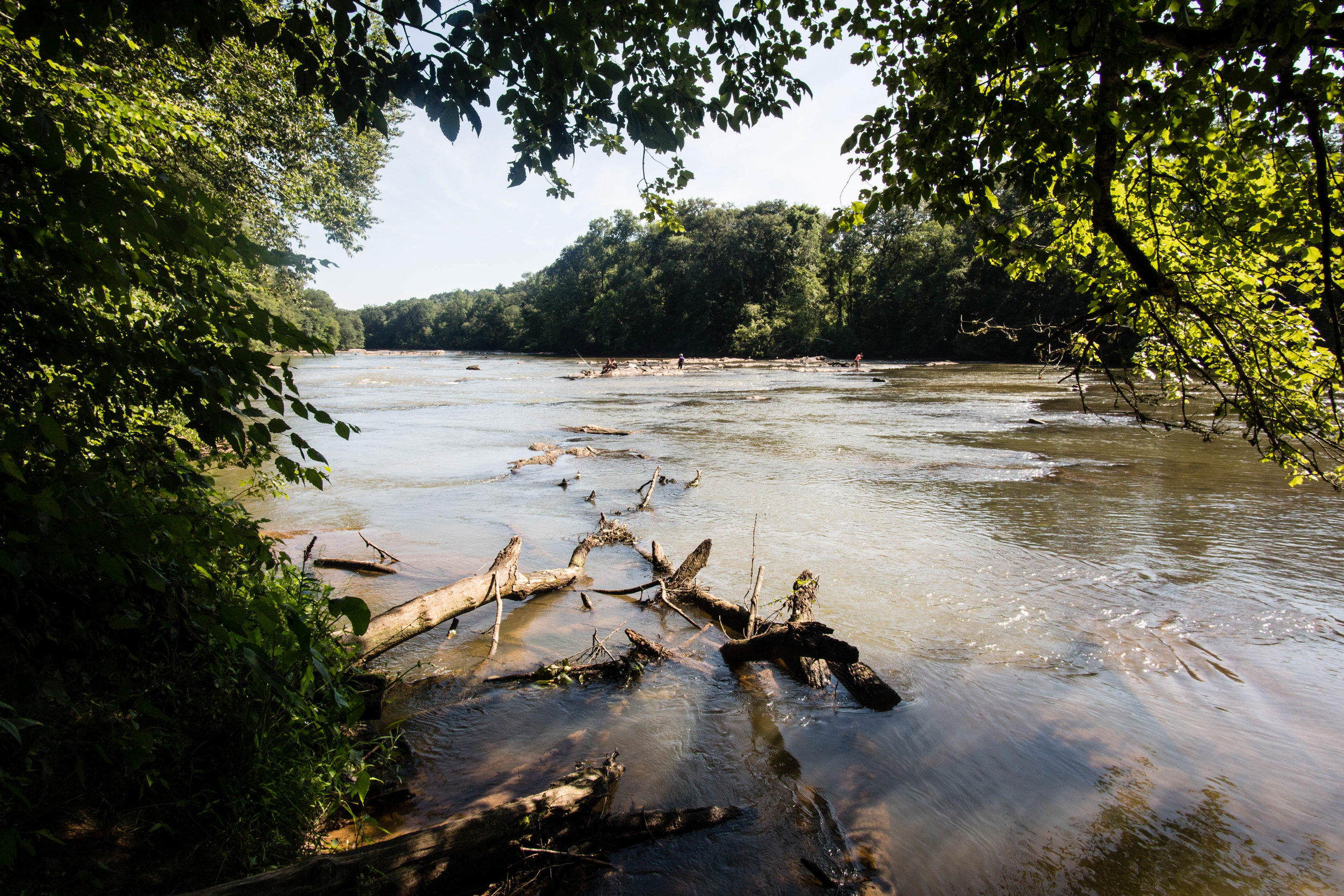
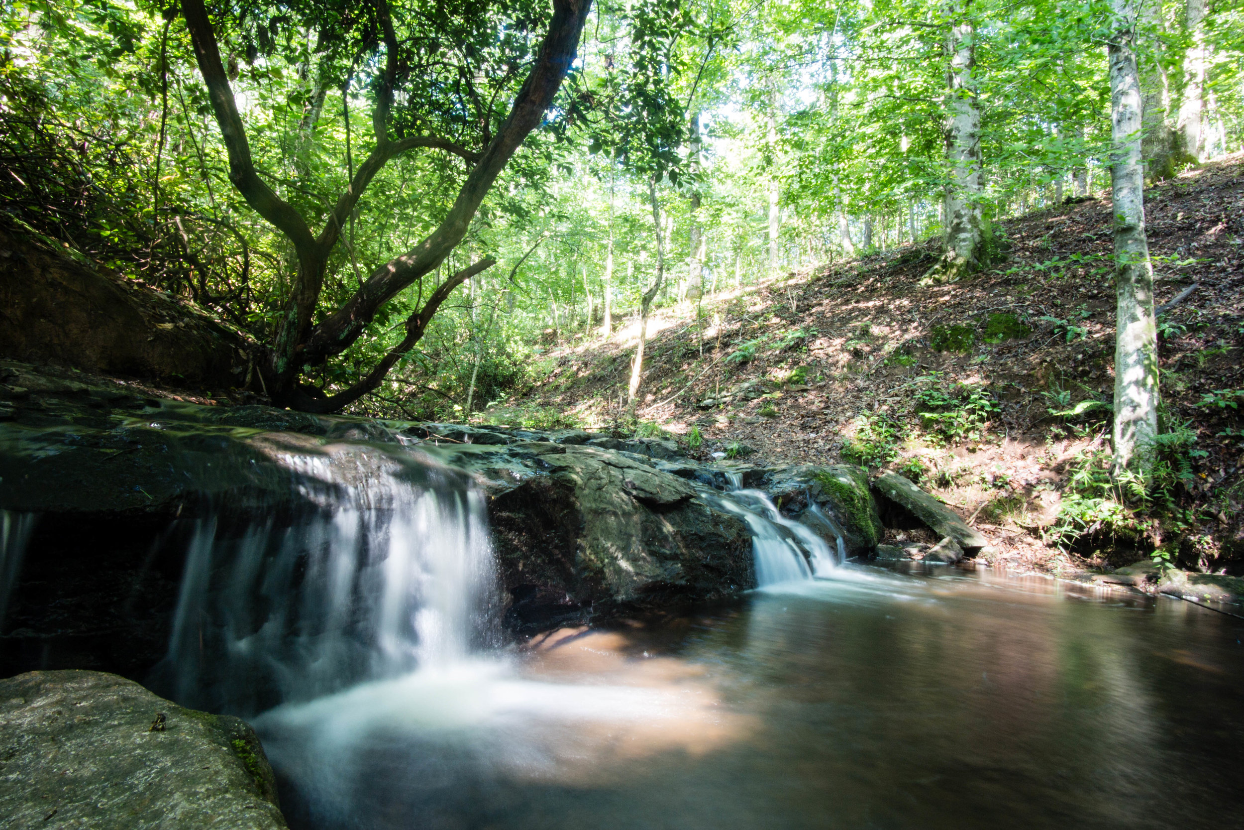
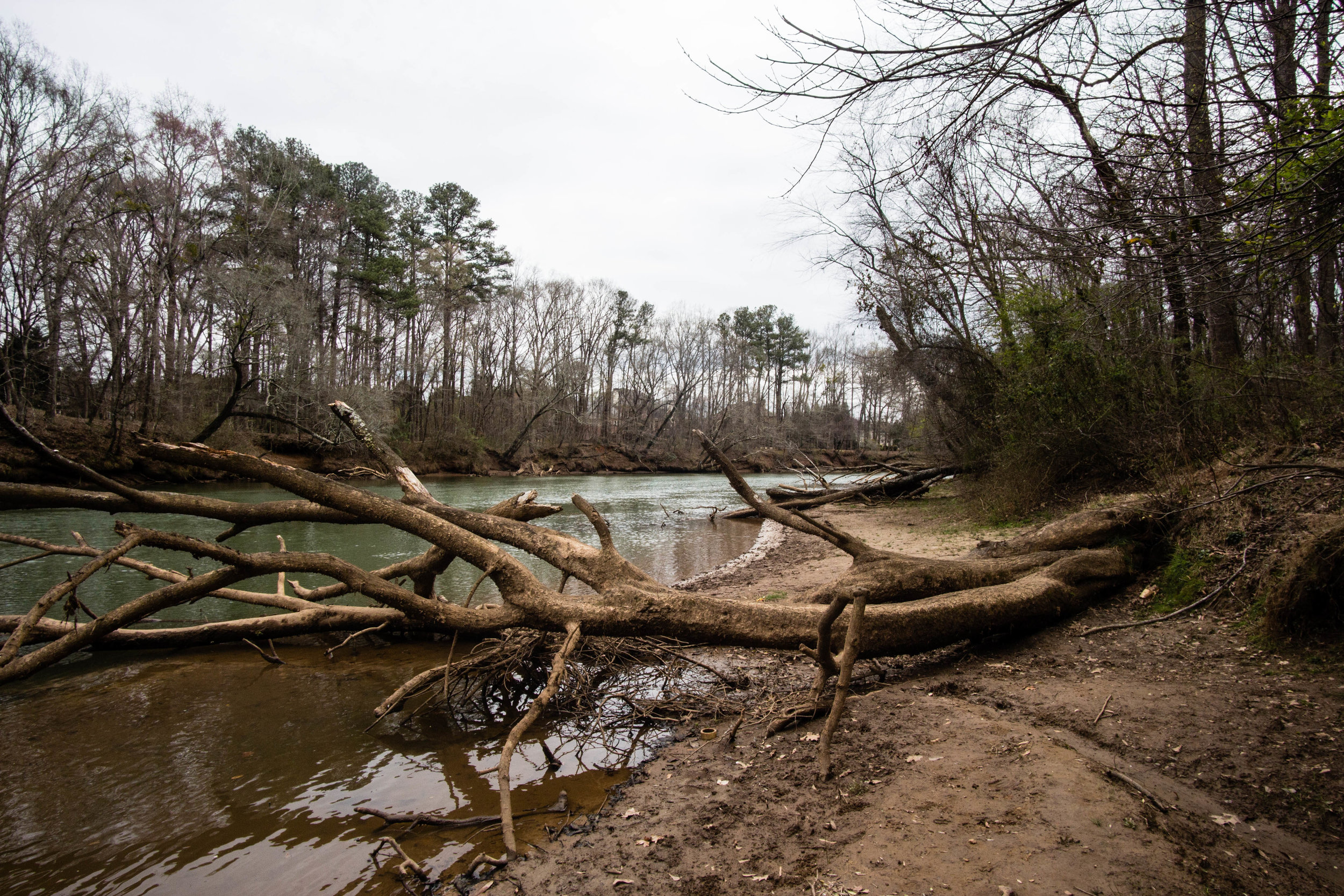
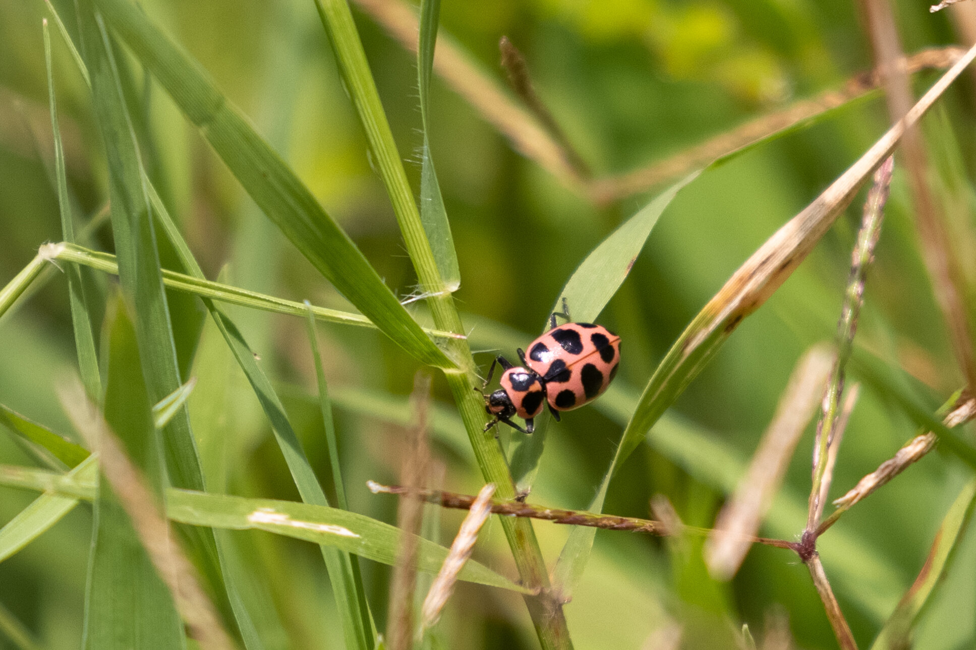
Fishing seems to be popular in both locations. In Morgan Falls Overlook Park, an unmarked, narrow, ungraded trail runs for about a third of a mile, beginning at the left side of the kayak rental building and continuing along the river's edge. I saw several folks fishing along this trail. I also saw folks fishing at Morgan Falls River Park from the metal observation deck and along the river bank.

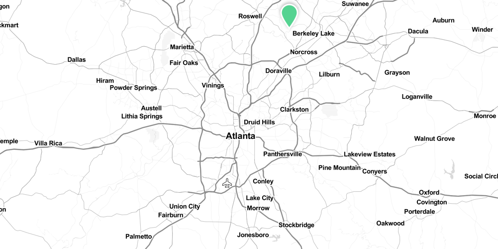
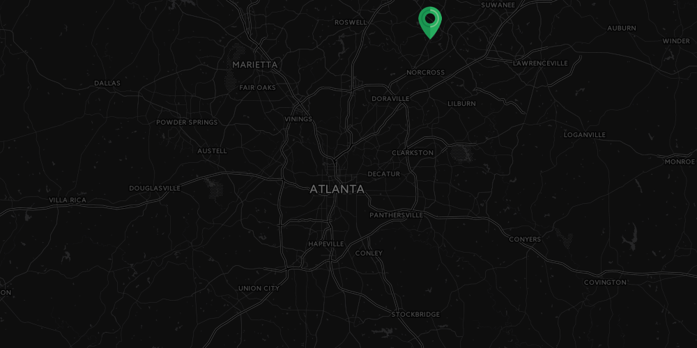
Address: 200 Morgan Falls Rd, Sandy Springs, GA 30350
Cost of admission: Free
Governance: City of Sandy Springs
Acres: 28
Approximate miles of trails: 1
Hours: Sun-up to sun-down
Miles from downtown Atlanta: 17
Transit directions: Take the MARTA 87 bus from Dunwoody Station to Roswell Rd & Morgan Falls Rd, then walk 1.3 miles west on Morgan Falls Rd
Parking: There are free parking lots at both the Overlook Park and the River Park
Trail surface: Natural
Restrooms: Restrooms are available at the Overlook Park
Dogs allowed: Yes, and there is an off-leash dog park at the River Park
Fishing allowed: Yes
Guidebook mentions: Page 74 of Hiking the Hooch (1st edition)

Amenities:

  • Restrooms

  • Bike racks

  • Water fountain (dog & human)

  • Playground

  • Swinging benches

  • Large pavilion

  • Kayak rental (seasonal)

  • Dog park

Links:
Sandy Springs
High Country Paddle Shack

Overlook Park, January 15, 2017

Overlook Park, January 15, 2017

Overlook Park, January 15, 2017

Overlook Park, January 15, 2017

Overlook Park, January 15, 2017

Overlook Park, January 15, 2017

Spotted Pink Ladybeetle, July 11, 2021

Spotted Pink Ladybeetle, July 11, 2021

River Park, January 15, 2017

River Park, January 15, 2017

Powdered Dancer, July 11, 2021

Powdered Dancer, July 11, 2021

Morgan Falls Dam, August 28, 2021

Morgan Falls Dam, August 28, 2021

Overlook Park, January 15, 2017

Overlook Park, January 15, 2017

Bald Eagle, River Park, March 4, 2017

Bald Eagle, River Park, March 4, 2017

Great Blue Heron at Morgan Falls Dam, River Park, March 4, 2017

Great Blue Heron at Morgan Falls Dam, River Park, March 4, 2017

 More photos on Flickr:

Morgan Falls - all

Good to combine with:

Featured
John Ripley Forbes Big Trees Forest Preserve
Lost Corner Preserve

Updated January 15, 2017, July 11, 2021, and August 28, 2021

August 28, 2021 /Shawn Taylor
atlanta page 3, free admission, north metro, boat ramp, birding, allows dogs, wetlands, dog park, near: big trees, near: lost corner, near: big trees forest preserve
parks
Comment
west-palisades.png

Chattahoochee River National Recreation Area: West Palisades

West Palisades
May 22, 2021 by Shawn Taylor in parks

Also known as: Paces Mill Unit
Address: 3444 Cobb Parkway, Atlanta, GA 30339
Cost of admission: Free, $5/day parking fee per car
Governance: NPS
Friends of the Park Group: Chattahoochee National Park Conservancy
Acres: 302
Approximate miles of trails: 6
Hours: Dawn to dusk, exact park hours are posted at the trailheads
Miles from downtown Atlanta: 10
Transit directions: Take the 12 MARTA bus from Midtown Station to the Cobb Pkwy & River Pkwy stop. The park entrance is only about 0.2 miles south of the stop. For access to & from the southbound bus, you can cross under Cobb Parkway from the park parking lot instead of needing to cross the highway at grade.
Cycling directions: A multi-use path (partly outlined here) connects West Palisades to Cochran Shoals. It’s about 3 miles between the two units by bike.
Trailhead(s): There is a second trailhead at 932 Akers Ridge Dr SE, Atlanta, GA 30339
Parking: Paid parking is available at both trailheads
Trail surface: Part paved, part natural
Blazes/markings: Each intersection is marked with a map
Restrooms: There are restrooms at the Cobb Parkway parking lot and near the Akers Ridge parking lot
Dogs allowed: Yes, on leash
Fishing allowed: Yes
Best time to visit: If you arrive in the first weekend in November, like I happened to in 2016, especially if the weather is unseasonably warm, you might find dozens of fly fishers in the river. This is because of the "Delayed Harvest" rule, where fish must be released along this section of the Chattahoochee between November 1 and May 14 of each year. This is a time when the river is stocked with trout from hatcheries, so it's considered to be a good time and place for beginners to fish.

Guidebook mentions: Chapter 9 in 60 Hikes Within 60 Miles (3rd edition), page 104 in Hiking the Hooch (1st edition), trip 78 in Afoot & Afield Atlanta (2nd edition), chapter 61 in Hiking Georgia (4th edition)

Features:

  • Restrooms

  • Boat ramp

Links:
Map (PDF)

November 6, 2016

November 6, 2016

November 6, 2016

November 6, 2016

November 6, 2016

November 6, 2016

November 6, 2016

November 6, 2016

November 6, 2016

November 6, 2016

November 4, 2017

November 4, 2017

November 4, 2017

November 4, 2017

Blue-tipped Dancer, May 22, 2021

Blue-tipped Dancer, May 22, 2021

November 6, 2016

November 6, 2016

November 6, 2016

November 6, 2016

IMG_3062.jpg

More photos on Flickr

West Palisades - all

From around the web

Recent iNaturalist observations

iNaturalist
View more observations near West Palisades Unit, Chattahoochee River National Recreation Area on iNaturalist »

Random eBird sightings from the last 30 days


Good to combine with:

Featured
Chattahoochee River National Recreation Area: Cochran Shoals (Columns Drive & Interstate North)
Chattahoochee River National Recreation Area: East Palisades (Whitewater Creek & Indian Trail)
Chattahoochee River National Recreation Area: Powers Island
Bob Callan/Rottenwood Creek Trail

Updated November 6, 2016, November 4, 2017 & May 22, 2021

May 22, 2021 /Shawn Taylor
atlanta page 1, near bus-10 min, near downtown-10 miles, itp page 2, boat ramp, near: cochran shoals
parks
Comment
riverwalk.png

Roswell Riverwalk

Roswell Riverwalk Trail
December 17, 2018 by Shawn Taylor in parks

Unlike most of the posts on this blog, this one features a multi-use path instead of a nature trail. Most of the trails here are paved or boardwalk, and bicycles are welcome.

The Roswell Riverwalk provides connections to several trails: the Chattahoochee Nature Center, Vickery Creek (which in turn connects to Old Mill Park), and Allenbrook.

In November 2018, the fifth and final phase opened, running along Willeo Road from the Chattahoochee Nature Center to Willeo Park.

Location: Along Riverside Rd, Azalea Dr, and Willeo Rd
Cost of admission: Free
Governance: City of Roswell
Acres: Linear
Approximate miles of trails: 3.5 miles one way
Hours: Unknown
Miles from downtown Atlanta: 17
MARTA directions: Take the 85 bus from North Springs Station to the Riverside Rd stop. Walk west on Azalea Dr. On the south side of Azalea Dr, you can access the Riverwalk.
Parking: Parking is available at several parks along Azalea Dr and Riverside Rd.
Trail surface: Mostly paved and boardwalk, with one gravel section and some dirt side-trails
Geocaching: Yes

Amenities:

  • Parks along the riverwalk have restrooms, water fountains, pavilions, and playgrounds

January 26, 2017

January 26, 2017

January 26, 2017

January 26, 2017

Wilson's Snipe, March 4, 2017

Wilson's Snipe, March 4, 2017

October 22, 2017

October 22, 2017

October 22, 2017

October 22, 2017

January 21, 2018

January 21, 2018

January 21, 2018

January 21, 2018

January 26, 2017

January 26, 2017

Riverwalk bridge over Big Creek, January 26, 2017

Riverwalk bridge over Big Creek, January 26, 2017

Confluence of Big Creek and the Chattahoochee River, January 26, 2017

Confluence of Big Creek and the Chattahoochee River, January 26, 2017

 For more photos, see my flickr album.


From around the web

Random eBird sightings from the last 30 days


Good to combine with:

Featured
Big Creek Greenway
Big Creek Greenway
Chattahoochee River National Recreation Area: Gold Branch
Chattahoochee River National Recreation Area: Vickery Creek
Chattahoochee Nature Center
Chattahoochee River National Recreation Area: Allenbrook
Old Mill Park
Old Mill Park

Updated January 27, 2017, October 23, 2017, January 26, 2018, & December 17, 2018

December 17, 2018 /Shawn Taylor
atlanta page 3, near:big creek park, near bus-5 min, multi-use path, free admission, north metro, boat ramp, birding, 3+ miles of trails, wetlands, near: gold branch, near: big creek greenway
parks
Comment
jones-bridge.png

Chattahoochee River National Recreation Area: Jones Bridge

Jones Bridge Unit
October 20, 2018 by Shawn Taylor in parks

Jones Bridge (formerly Jones Ferry) was constructed in 1904. It fell into disrepair in the 1930s and was partially dismantled sometime between then and 1960. The remains of the bridge were a highlight of both this park and Jones Bridge Park on the other side of the river until the remains of the bridge collapsed and were disassembled in January 2018. Today, nothing remains of the historic bridge.

The Jones Bridge Unit is home to the Chattahoochee River Environmental Education Center (CREEC) at 9101 Barnwell Road, Johns Creek. Parking is available at CREEC, but only when it is open for events.

Also known as: Jones Bridge Unit
Address: 8615 Barnwell Road, Johns Creek, GA 30022
Cost of admission: Free, $5/day parking fee per car; annual pass available
Governance: NPS
Acres: Approximately 150
Approximate miles of trails: 4
Hours: Dawn to dusk; exact park hours are posted at the trailheads
Miles from downtown Atlanta: 19
MARTA directions: Take the 140 or 141 from North Springs Station to Mansell Park & Ride (the first stop). From there, walk across the parking lot to the other bus station, near the on-ramp for GA-400. Transfer to the 142 (only runs on weekdays). Take the bus to Holcomb Bridge Rd @ Nesbit Ferry Rd. From there, walk southeast on Holcomb Bridge to Barnwell Road. Turn left on Barnwell Road and continue until you see the National Park Service sign for CREEC on the right. The total walking distance from bus stop to trailhead is 1.0 miles. Note: most of this distance lacks sidewalks, so you’ll have to walk in the grass, including navigating a short bridge with no shoulder.
On the return trip, you can wait for the bus at Barnwell and Holcomb Bridge. In this direction, the walking distance from trailhead to bus stop is 0.8 miles.
Parking: Parking is available at the main trailhead.
Trail surface: Natural
Blazes/markings: Each intersection is marked with a full park map of the unit
Dogs allowed: Yes
Fishing allowed: Yes
Guidebook mentions: Chapter 60 in Hiking Atlanta's Hidden Forests (1st edition), chapter 40 in 60 Hikes Within 60 Miles (3rd edition), page 36 in Hiking the Hooch (1st edition)

Amenities:

  • Picnic area

  • Restrooms

  • Boat ramp

Nearby amenities/conveniences:

  • The intersection of Holcomb Bridge and Barnwell has restaurants and a grocery store

Links:

  • NPS map

October 18, 2018

October 18, 2018

October 18, 2018

October 18, 2018

October 18, 2018

October 18, 2018

Chattahoochee River, October 18, 2018

Chattahoochee River, October 18, 2018

October 18, 2018

October 18, 2018

Trametes versicolor, October 18, 2018

Trametes versicolor, October 18, 2018

Macrolepiota sp., October 18. 2018

Macrolepiota sp., October 18. 2018

October 18, 2018

October 18, 2018

For more photos, see my flickr album.


From around the web

Recent iNaturalist observations

iNaturalist.org
View more observations near Jones Bridge Unit - Chattahoochee River National Recreation Area on iNaturalist.org »

Random eBird sightings from the last 30 days

REI Hiking Project


Good to combine with

Featured
Simpsonwood Park
Simpsonwood Park
Garrard Landing Park
Big Creek Park
Big Creek Park
Chattahoochee River National Recreation Area: Island Ford
Autrey Mill Nature Preserve
October 20, 2018 /Shawn Taylor
atlanta page 4, north metro, boat ramp, allows dogs, near: island ford, near: garrard landing, near: big creek park, 3+ miles of trails, near: simpsonwood park
parks
Comment
garrard-landing.png

Garrard Landing Park

Garrard Landing Park
October 20, 2018 by Shawn Taylor in parks

Robert McAfee operated a ferry across the river here. In 1834, he received permission to build a toll bridge at the same site. That bridge was burned during the civil war, and rebuilt in 1906. In 1960, the bridge was replaced with the current Holcomb Bridge Road.

T.H. Ellard bought the Garrard Landing Park land along the Chattahoochee River in the early 1920s. The Garrards and Ellards refused to sell their land, and thanks to Larry Garrard it became a park.

The Johns Creek Environmental Campus borders the park. It is a wastewater treatment plant and educational facility that utilizes state-of-the-art technology. The Environmental Campus has a native plant garden adjacent to it.

One section of trail in this park is a remnant of Alabama Road.

Also known as: Johns Creek Environmental Campus
Address: 8000 Holcomb Bridge Road, Roswell, GA 30075
Cost of admission: Free
Governance: City of Roswell
Acres: Approximately 40
Approximate miles of trails: 2
Hours: Unknown
Miles from downtown Atlanta: 17
MARTA directions: Take the 140 or 141 from North Springs Station to Mansell Park & Ride (the first stop). From there, walk across the parking lot to the other bus station, near the on-ramp for GA-400. Transfer to the 142 (only runs on weekdays). Take the bus to Holcomb Bridge Rd @ Spalding Dr. From there, walk northwest on Holcomb Bridge (back the way you came) for 0.6 miles. After you cross the Chattahoochee River, the park is the first entrance on the left. Note: most of the 0.6 miles lacks sidewalks, so you’ll have to walk in the grass.
Parking: Free parking is available at the park
Trail surface: Mostly wide gravel trails, with a few sections along the pond being paved, and a couple of natural-surface spur paths. On the included map, paved trails are wide and grey; gravel trails are less wide and green.
Dogs allowed: Yes, with many poop stations along the trails
Fishing allowed: Unknown
Guidebook mentions: None

Amenities:

  • Picnic pavilion (reservable)

  • Playground

  • Restrooms & water fountains

  • Dog poop stations

  • Canoe & kayak launch

  • Native plant garden (at Johns Creek Environmental Campus)

Nearby amenities/conveniences:

  • The intersection of Holcomb Bridge and Spalding (0.6 miles southeast of the park) has gas stations, restaurants, and a grocery store

  • The intersection of Holcomb Bridge and Barnwell (0.8 miles northwest of the park) has restaurants and a grocery store

Links:

  • City of Roswell

  • Friends of the Roswell Parks

  • Johns Creek Environmental Campus

October 18, 2018

October 18, 2018

Osprey, October 18, 2018

Osprey, October 18, 2018

Eastern Meadowlark, October 18, 2018

Eastern Meadowlark, October 18, 2018

Palm Warbler, October 18, 2018

Palm Warbler, October 18, 2018

Usnea lichen, October 18, 2018

Usnea lichen, October 18, 2018

October 18, 2018

October 18, 2018

Remnant of original Holcomb Bridge, October 18, 2018

Remnant of original Holcomb Bridge, October 18, 2018

For more photos, see my flickr album.


From around the web

Random eBird sightings from the last 30 days

Recent iNaturalist observations

iNaturalist.org
View more observations near Garrard Landing Park on iNaturalist.org »

Good to combine with

Featured
Simpsonwood Park
Simpsonwood Park
Chattahoochee River National Recreation Area: Jones Bridge
Big Creek Park
Big Creek Park
Chattahoochee River National Recreation Area: Island Ford
October 20, 2018 /Shawn Taylor
atlanta page 4, free admission, north metro, boat ramp, allows dogs, garden, near: jones bridge, near: island ford, near: big creek park, near: simpsonwood park
parks
Comment
big-haynes-creek-nc.png

Big Haynes Creek Nature Center

Big Haynes Creek Nature Trail
May 28, 2018 by Shawn Taylor in parks

Not to be confused with Big Haynes Creek Recreation Area, Big Haynes Creek Nature Center is part of the Georgia International Horse Park, home to the equestrian events at the 1996 Olympics. These 173 acres were designated as a nature preserve and opened in 2007. The nature center features hiking, mountain biking, and equestrian trails, as well as a boat launch for canoes and kayaks. Some trails have bikes and horses separated, others are combined. Some of the trails are very wide and flat, while some are very narrow and moderately steep. Note: some of the biking and hiking trails are along granite outcrops and may be very slippery when wet.

Address: 855 Costley Mill Rd NE, Conyers, GA 30013
Cost of admission: None
Governance: Georgia International Horse Park
Acres: 173
Approximate miles of trails: Around 5 miles of trails in the nature center; around 20 miles total trails in the horse park
Hours: Sunrise to sunset
Miles from downtown Atlanta: 27
Parking and trailhead: Signs direct you to the nature center parking lot, which is across Costley Mill Rd from Gate D of the Georgia International Horse Park
Trail surface: Natural
Blazes/markings: Trails are blazed with paint on trees
Dogs allowed: Yes
Fishing allowed: No
Guidebook mentions: None

Amenities:

  • Four tent pads, grills, and a fire pit are available for approved groups

  • Boat ramp for canoes and kayaks

  • Interpretive signage

  • Equestrian and mountain bike trails (hiking appears to be permitted on both)

  • Wetlands overlook with viewfinder and bench

Links:

  • Georgia International Horse Park

  • Map (note: some trails have changed)

  • Paddling.com trip overview

IMG_2013.jpg
IMG_2019.jpg
IMG_2079.jpg
IMG_2039.jpg
IMG_8169.jpg
IMG_8208.jpg
IMG_8235.jpg
IMG_2059.jpg

For more photos, see my flickr album.


From around the web
 

Random eBird sightings from the last 30 days


Good to combine with:

  • Arabia Mountain

  • Panola Mountain

May 28, 2018 /Shawn Taylor
atlanta page 4, free admission, east metro, mountain biking, boat ramp, 5+ miles of trails, nature center, wetlands, allows dogs, near: arabia mountain, near: panola mountain
parks
Comment

Stone Mountain Park

Stone Mountain
December 03, 2017 by Shawn Taylor in parks

Address: 1000 Robert E Lee Blvd, Stone Mountain, GA 30083
Admission: $15 parking fee per car. Free if you don't arrive by car.*
Acres: 3,200
Approximate miles of trails: 15
Hours: Hours vary. You can check the hours here.
Miles from downtown Atlanta: 15
MARTA directions: You can take the 121 bus from Kensington station to downtown Stone Mountain (corner of W Mountain St and Main St). From there, walk South on Main St. In a few blocks, you will see the PATH trail on your left. The trail will take you directly into the park. It's about a 10 minute walk from the bus stop into the park, although the walk might be much farther to your destination within the park.
Cycling directions: The Stone Mountain PATH trail connects Stone Mountain Park to downtown Decatur, downtown Atlanta, and the BeltLine

* There is some free parking available downtown in the town of Stone Mountain, GA. From there, you can bike or walk the Stone Mountain Trail into the park without needing to pay an entrance fee. There is another pedestrian entrance on E Mountain St. Where the road turns left before entering the park, you can walk straight into the park instead of going left. However, this gate is only open from sunrise to sunset.

Links:
Stone Mountain Park
Maps

May 10, 2015

May 10, 2015

May 10, 2015

May 10, 2015

May 10, 2015

May 10, 2015

May 10, 2015

May 10, 2015

May 10, 2015

May 10, 2015

May 10, 2015

May 10, 2015

May 10, 2015

May 10, 2015

May 10, 2015

May 10, 2015

Songbird Habitat Trail, January 5, 2017

Songbird Habitat Trail, January 5, 2017

Songbird Habitat Trail, January 5, 2017

Songbird Habitat Trail, January 5, 2017

Songbird Habitat Trail, January 5, 2017

Songbird Habitat Trail, January 5, 2017

Songbird Habitat Trail, January 5, 2017

Songbird Habitat Trail, January 5, 2017

Songbird Habitat Trail, January 5, 2017

Songbird Habitat Trail, January 5, 2017

Songbird Habitat Trail, January 5, 2017

Songbird Habitat Trail, January 5, 2017

Songbird Habitat Trail, January 5, 2017

Songbird Habitat Trail, January 5, 2017

Songbird Habitat Trail, January 5, 2017

Songbird Habitat Trail, January 5, 2017

Songbird Habitat Trail, January 5, 2017

Songbird Habitat Trail, January 5, 2017

Songbird Habitat Trail, January 5, 2017

Songbird Habitat Trail, January 5, 2017

Songbird Habitat Trail, January 5, 2017

Songbird Habitat Trail, January 5, 2017

Songbird Habitat Trail, January 5, 2017

Songbird Habitat Trail, January 5, 2017

Songbird Habitat Trail, January 5, 2017

Songbird Habitat Trail, January 5, 2017

Songbird Habitat Trail, January 5, 2017

Songbird Habitat Trail, January 5, 2017

December 3, 2017

December 3, 2017

White-breasted Nuthatch, December 3, 2017

White-breasted Nuthatch, December 3, 2017

Walk Up Trail, December 3, 2017

Walk Up Trail, December 3, 2017

Walk Up Trail, December 3, 2017

Walk Up Trail, December 3, 2017

Walk Up Trail, December 3, 2017

Walk Up Trail, December 3, 2017

Songbird Habitat Trail, January 5, 2017

Songbird Habitat Trail, January 5, 2017

May 10, 2015

May 10, 2015

Songbird Habitat Trail, January 5, 2017

Songbird Habitat Trail, January 5, 2017

Good to combine with:

  • Arabia Mountain

  • Panola Mountain

  • Pine Lake


Updated August 4, 2016, January 5, 2017 & December 3, 2017

December 03, 2017 /Shawn Taylor
atlanta page 2, near bus-10 min, multi-use path, east metro, boat ramp, 10+ miles of trails, wetlands, birding, near: arabia mountain, near: panola mountain, near: pine lake
parks
Comment

Chattahoochee River National Recreation Area: Island Ford

Island Ford
July 19, 2017 by Shawn Taylor in parks

Address: 1978 Island Ford Parkway, Sandy Springs, GA 30350
Cost of admission: Free, $5/day parking fee per car
Governance: NPS
Acres: Unknown
Approximate miles of trails: 6
Hours: Dawn to dusk
Miles from downtown Atlanta: 19
MARTA directions: From North Springs station, take the 87 bus to Dunwoody Pl @ Roberts Dr. Walk east on Roberts Dr about 0.6 miles. The park entrance will be on your right, marked with an NPS sign.
Parking: Parking is available at the beginning and the end of Island Ford Pkwy and costs $3/day
Trailhead(s): There are several trailheads that can be seen on the maps
Trail surface: Natural

Amenities:

  • Visitors center

  • Restrooms

  • Drink machine

  • Water fountain

  • Boat ramp

July 9, 2017
July 9, 2017
July 9, 2017
July 9, 2017
July 9, 2017
July 9, 2017
July 9, 2017
July 9, 2017
July 9, 2017
July 9, 2017
July 9, 2017
July 9, 2017
July 9, 2017
July 9, 2017
July 9, 2017
July 9, 2017
July 9, 2017
July 9, 2017
July 9, 2017
July 9, 2017
July 9, 2017
July 9, 2017
July 9, 2017
July 9, 2017
July 9, 2017
July 9, 2017
July 9, 2017 July 9, 2017 July 9, 2017 July 9, 2017 July 9, 2017 July 9, 2017 July 9, 2017 July 9, 2017 July 9, 2017 July 9, 2017 July 9, 2017 July 9, 2017 July 9, 2017

Links:
Map (North)
Map (South)


Good to combine with:

  • Vickery Creek

  • Allenbrook

  • Roswell Mill

July 19, 2017 /Shawn Taylor
atlanta page 3, near:big creek park, north metro, boat ramp, 5+ miles of trails, near: garrard landing, near: jones bridge
parks
Comment

Chattahoochee River National Recreation Area: Medlock Bridge

Medlock Bridge Chattahoochee
March 11, 2017 by Shawn Taylor in parks

Address: 4690 Medlock Bridge Road Duluth, GA 30097
Cost of admission: Free + $5/vehicle for parking
Governance: NPS
Acres: Unknown
Approximate miles of trails: 2
Hours: Sunrise to sunset
Miles from downtown Atlanta: 21
Trail surface: Natural
Amenities:

  • Boat ramp

Links:
NPS
Park map

March 11, 2017
March 11, 2017
March 11, 2017
March 11, 2017
March 11, 2017
March 11, 2017
March 11, 2017
March 11, 2017
March 11, 2017
March 11, 2017
March 11, 2017
March 11, 2017
March 11, 2017 March 11, 2017 March 11, 2017 March 11, 2017 March 11, 2017 March 11, 2017

Good to combine with:

  • Autrey Mill Nature Preserve

  • McDaniel Farm Park

March 11, 2017 /Shawn Taylor
atlanta page 3, north metro, boat ramp, near: autrey mill, near: mcdaniel farm, near: shorty howell, near: rogers bridge, near: simpsonwood park
parks
Comment

Sweetwater Creek State Park

Sweetwater Creek State Park
October 09, 2016 by Shawn Taylor in parks

Address: 1750 Mount Vernon Road, Lithia Springs, GA 30122
Admission: Free, $5 day parking
Acres: 2,549
Approximate miles of trails: 12
Hours: 7:00am to dark
Miles from downtown Atlanta: 17
Trail surface: Mostly natural and quite worn

Features:

  • Mill ruins

  • Reservable picnic shelters, campsites, and yurts

  • Visitor's Center

  • Restrooms

  • Reservoir

  • Kayak and canoe rental (seasonal)

Links:
Georgia Department of Natural Resources
Friends of Sweetwater Creek State Park Web Facebook

October 9, 2016
October 9, 2016
October 9, 2016
October 9, 2016
October 9, 2016
October 9, 2016
October 9, 2016
October 9, 2016
October 9, 2016
October 9, 2016
October 9, 2016
October 9, 2016
October 9, 2016
October 9, 2016
October 9, 2016
October 9, 2016
October 9, 2016
October 9, 2016
October 9, 2016
October 9, 2016
October 9, 2016
October 9, 2016
October 9, 2016
October 9, 2016
October 9, 2016
October 9, 2016
October 9, 2016 October 9, 2016 October 9, 2016 October 9, 2016 October 9, 2016 October 9, 2016 October 9, 2016 October 9, 2016 October 9, 2016 October 9, 2016 October 9, 2016 October 9, 2016 October 9, 2016

October 9, 2016

Good to combine with:

  • Boat Rock Bouldering Area

October 09, 2016 /Shawn Taylor
atlanta page 2, west metro, 10+ miles of trails, boat ramp, state park
parks
Comment