ATLnature

ATLnature is your guide to Atlanta's trails and other rad nature stuff in the city. Live in the city but miss hiking on the weekends? Don’t have time (or a car!) for a trip to north Georgia? Did you know there are over 30 nature trails inside the perimeter of 285 alone?

  • Home
  • Parks
  • Species
  • More
rogers-bridge.png

Rogers Bridge Trail

Rogers Bridge Trail
January 30, 2019 by Shawn Taylor in parks
Note: This location will be closed from March 1, 2021 until construction is completed (estimated late summer 2022).

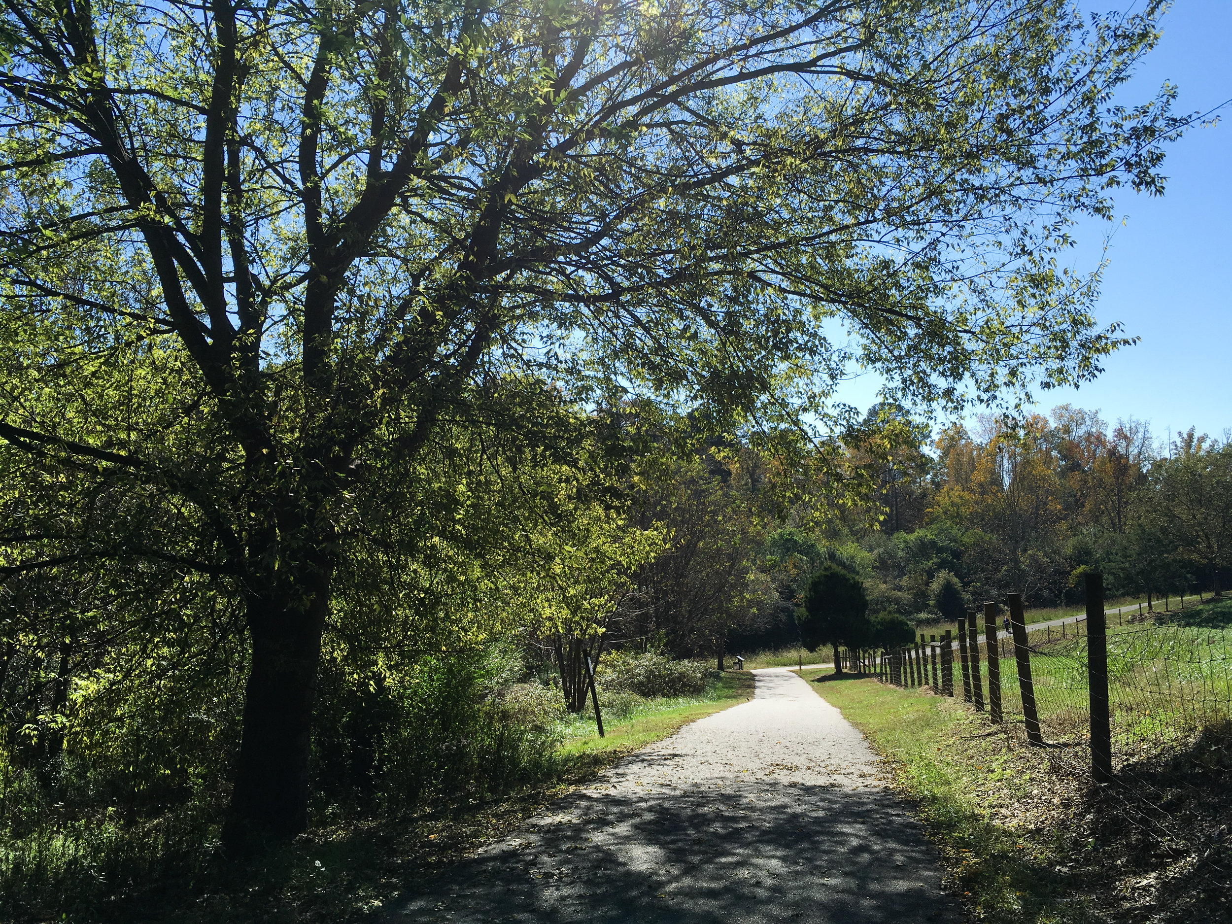
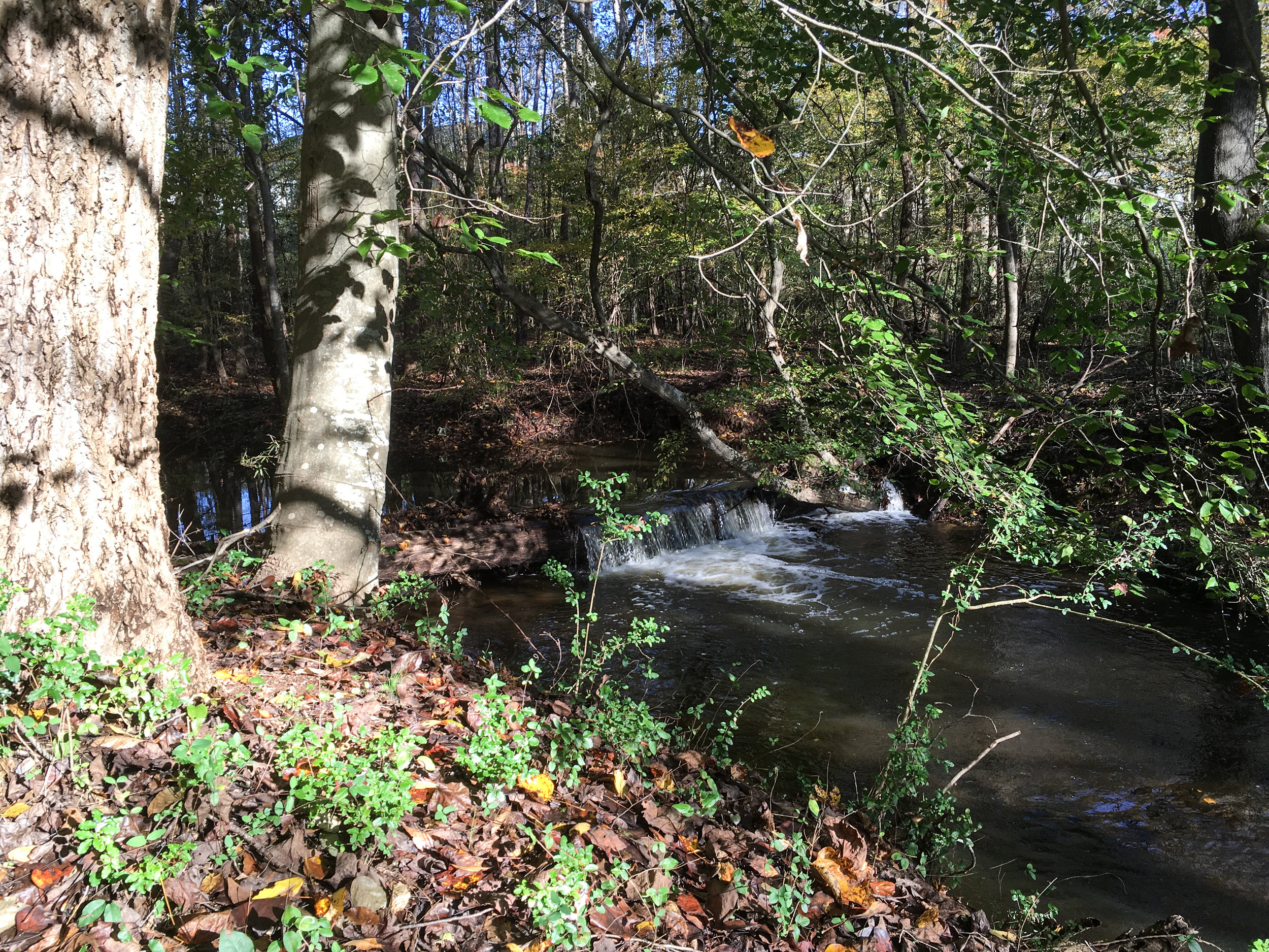
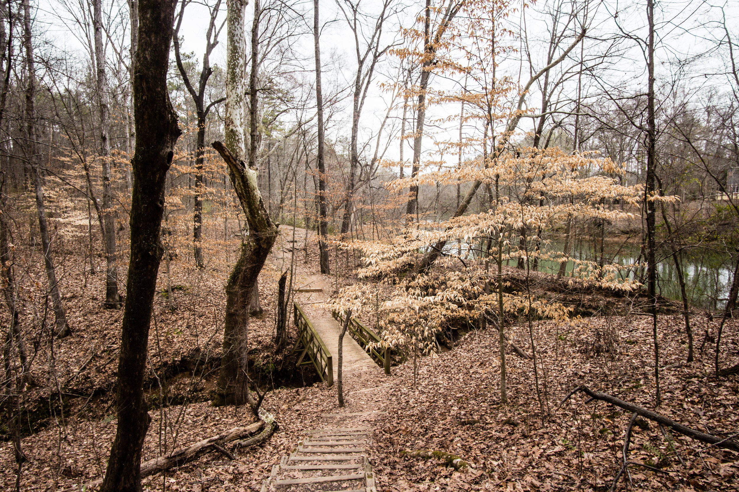
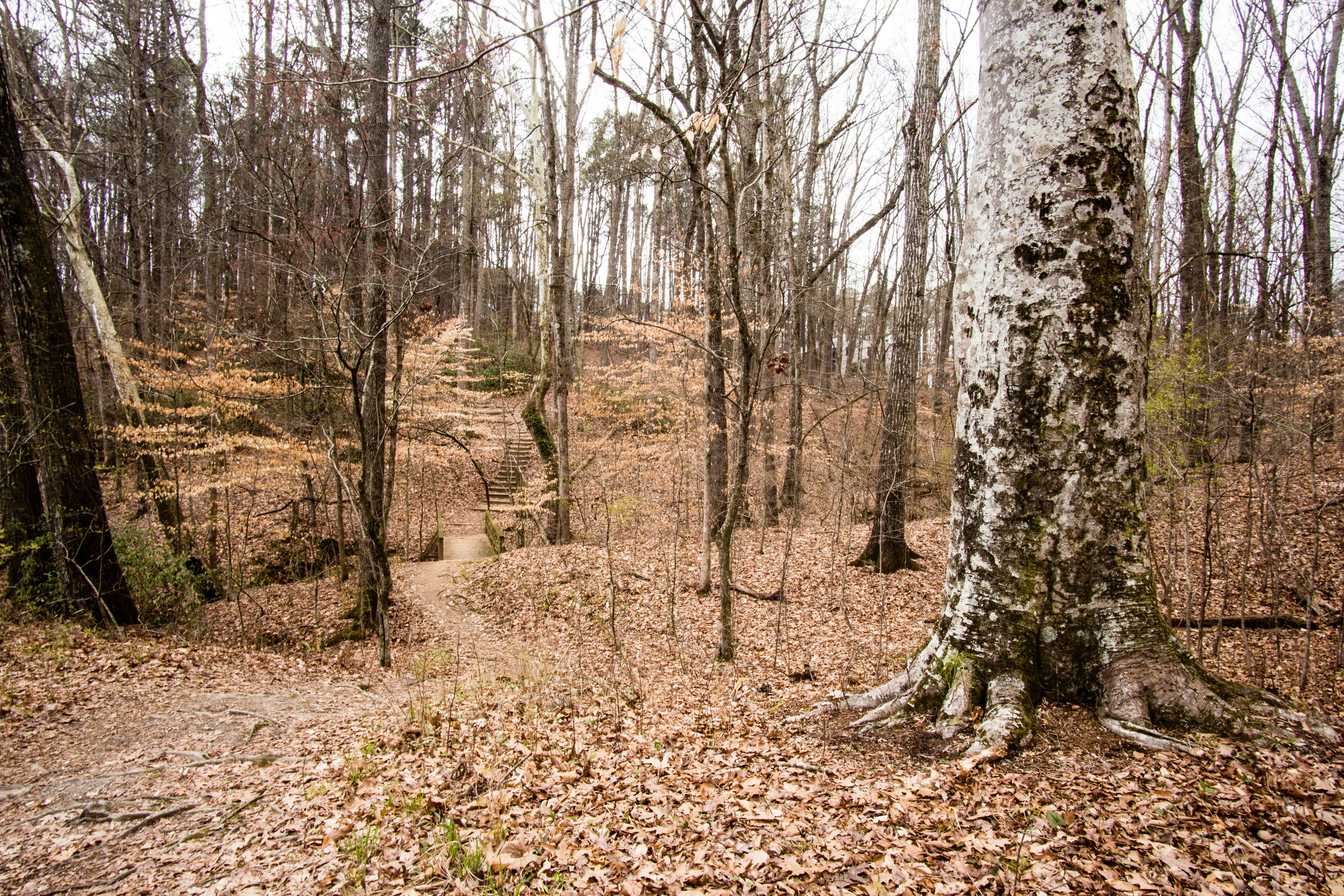
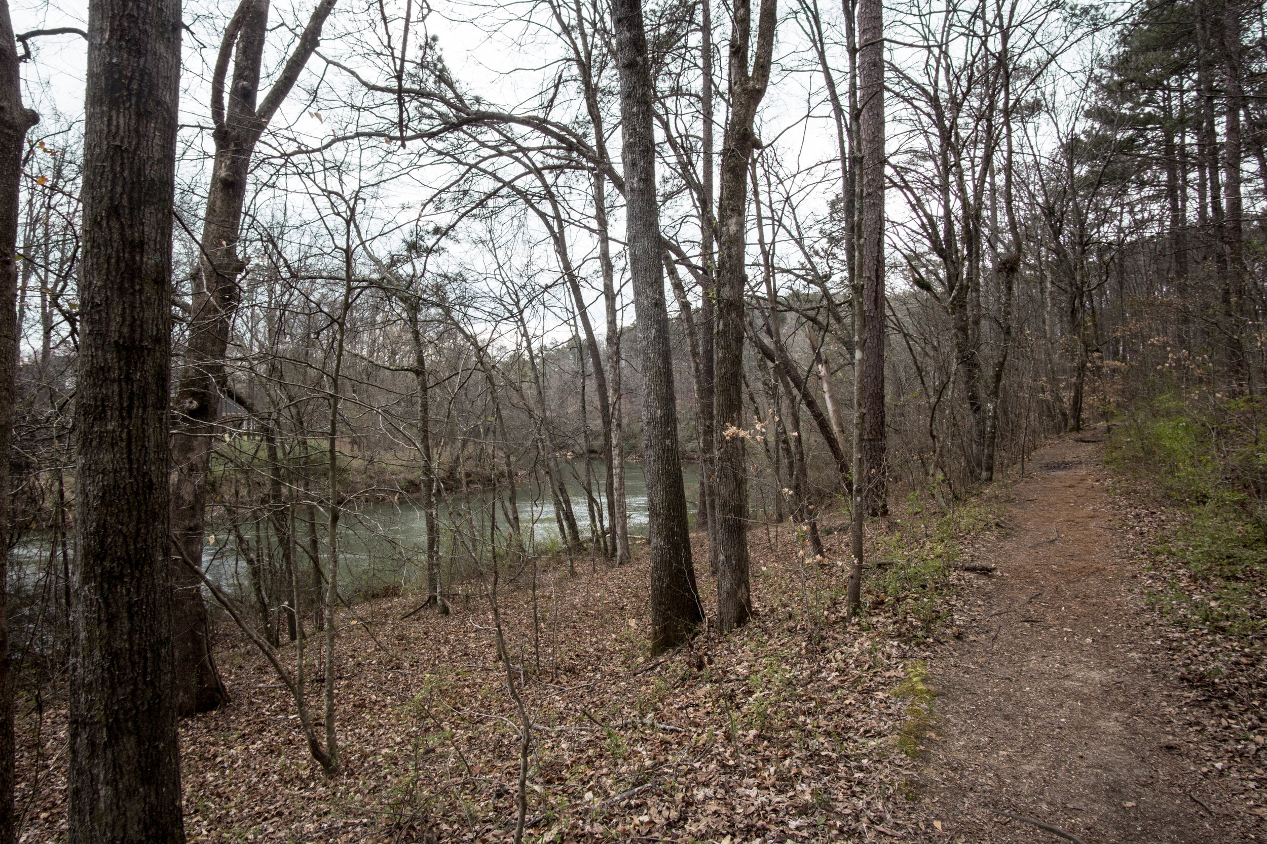
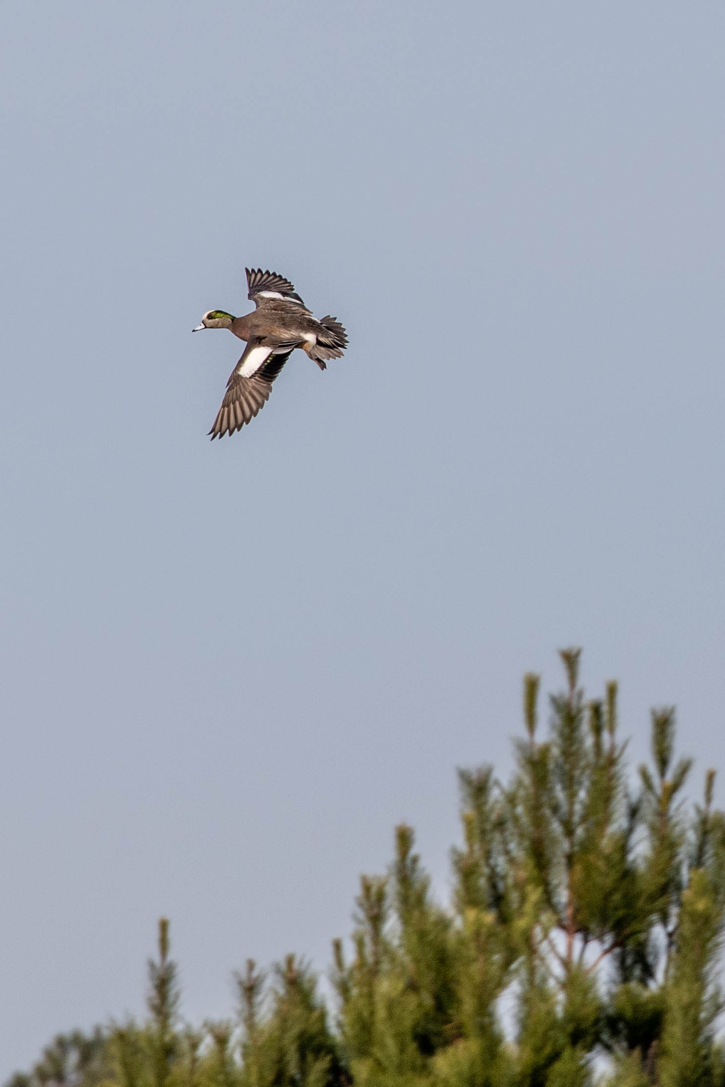
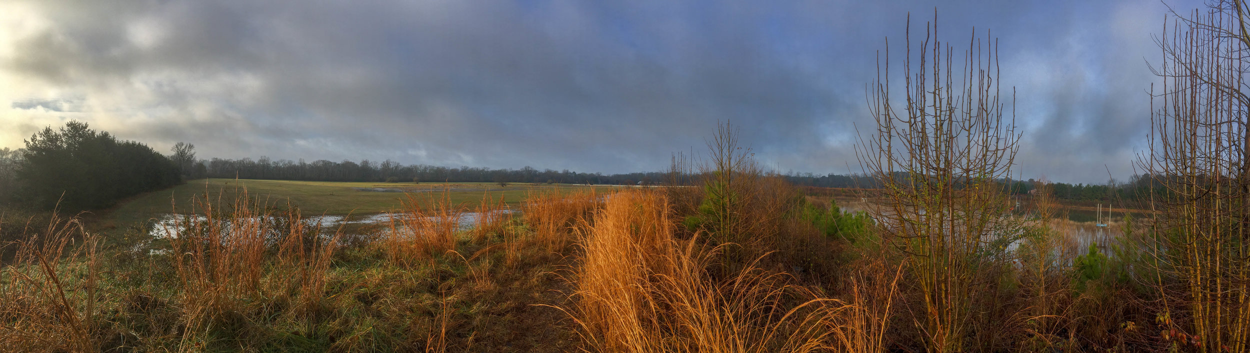
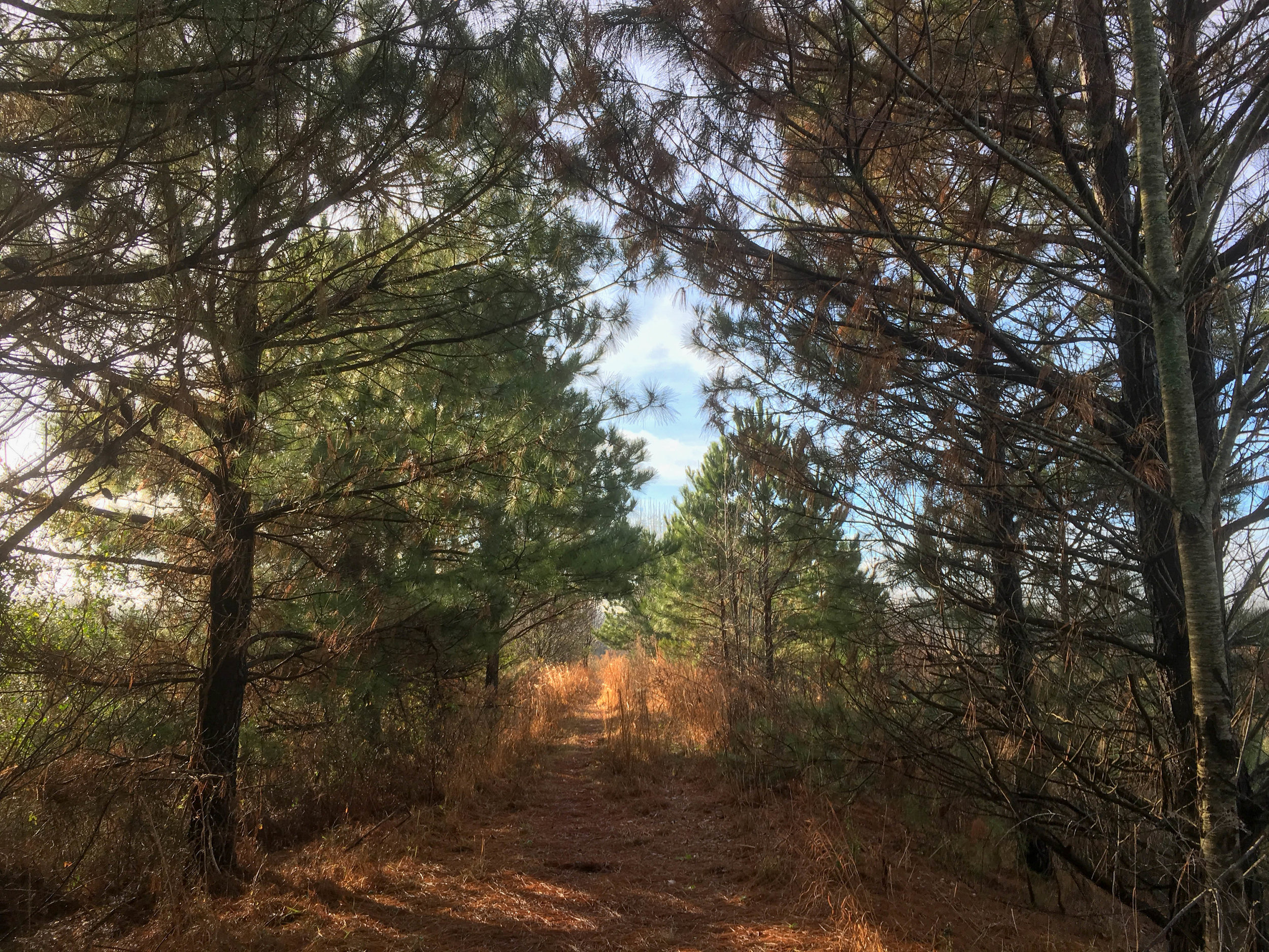
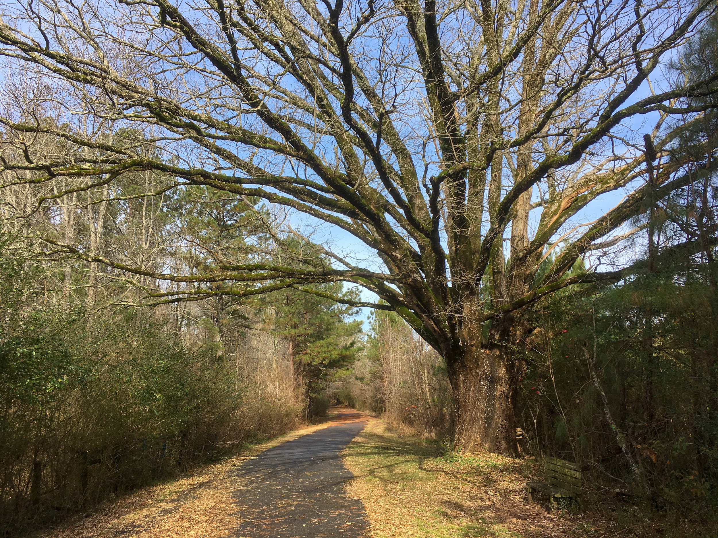
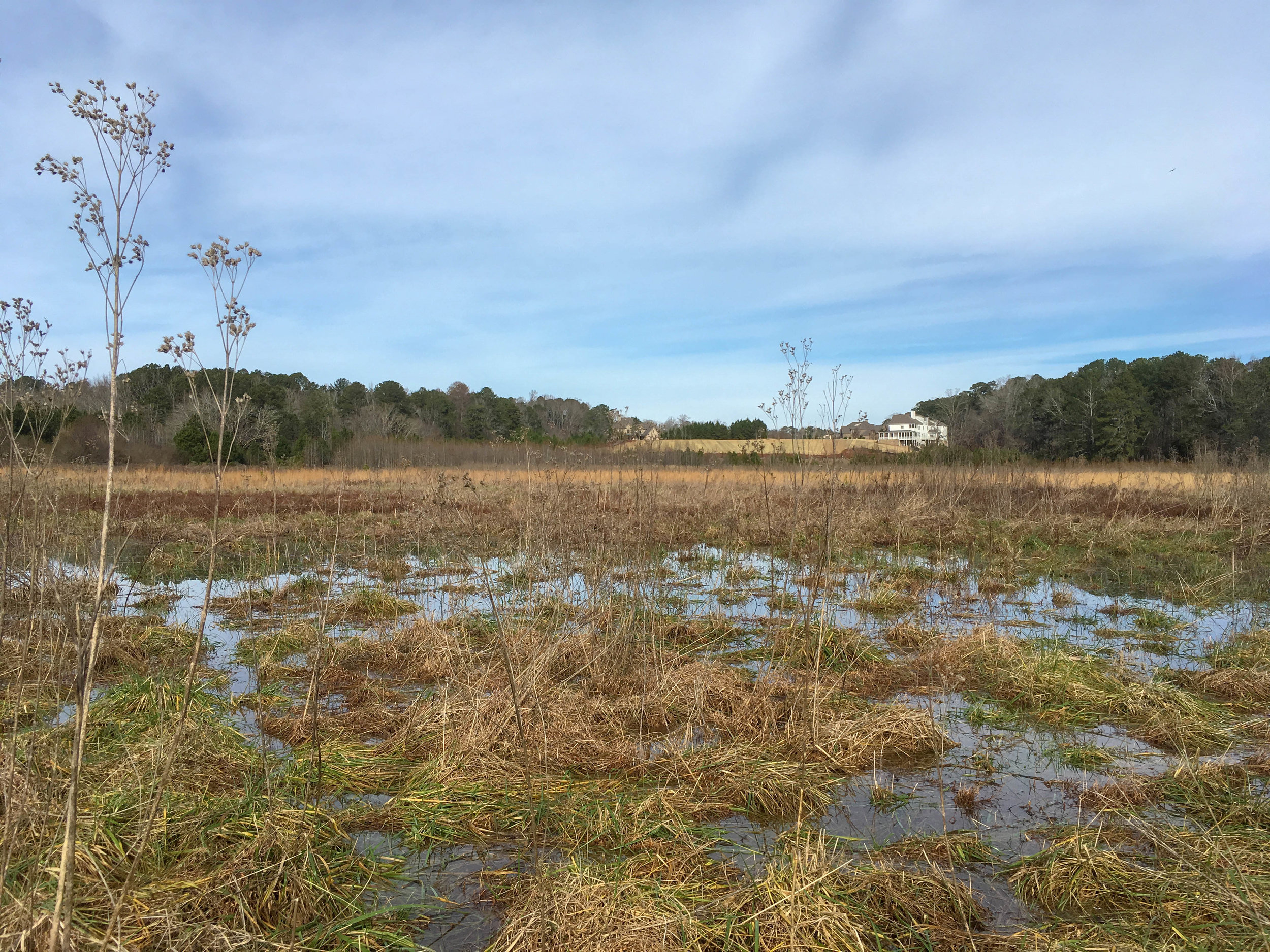
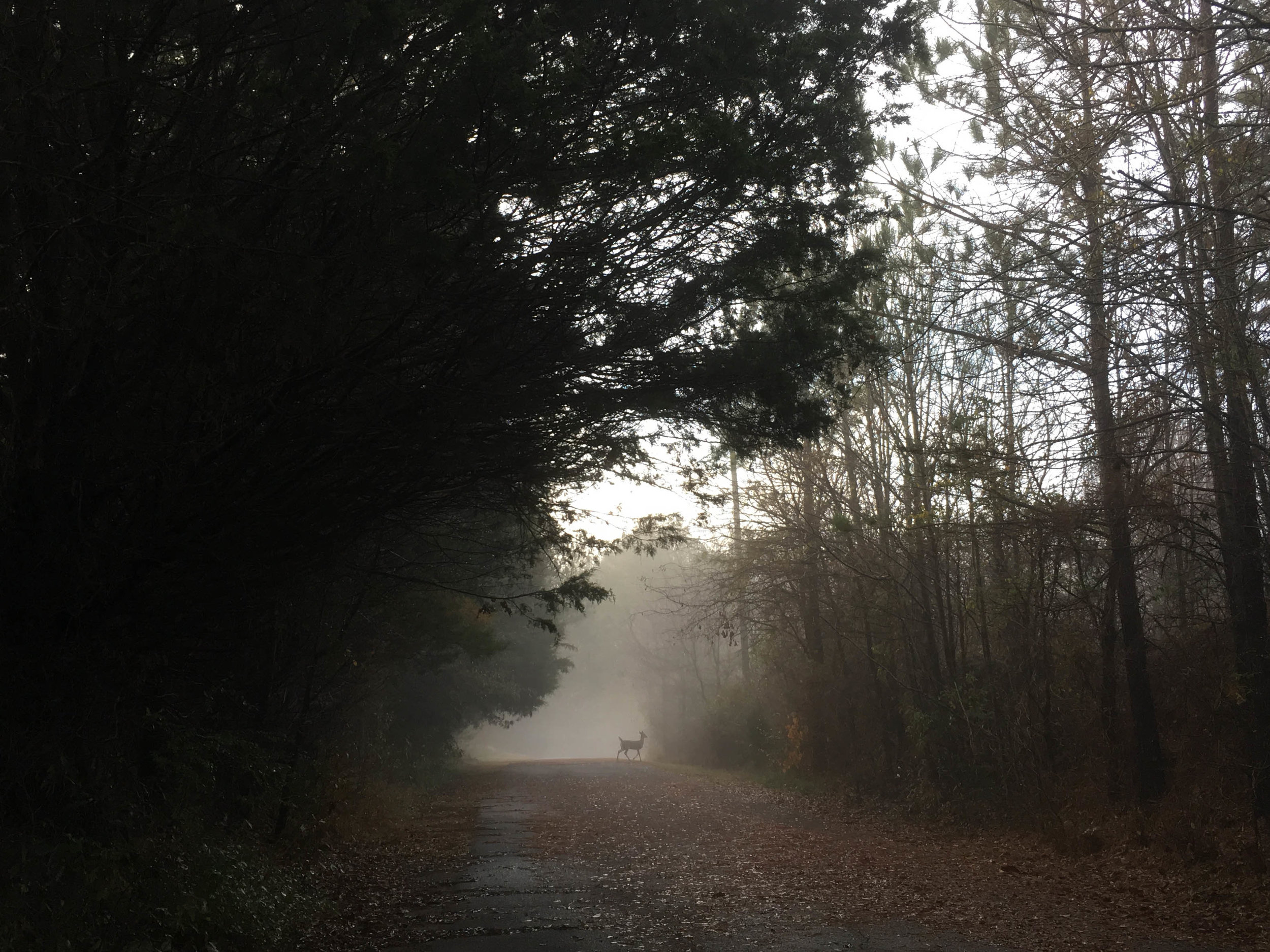
This site consists of a multi-use path (former road) that’s about a mile long, plus an unpaved trail around a retention pond. The fields on either side of the paved trail are open but with no formal paths through them. This is an excellent site for birding.

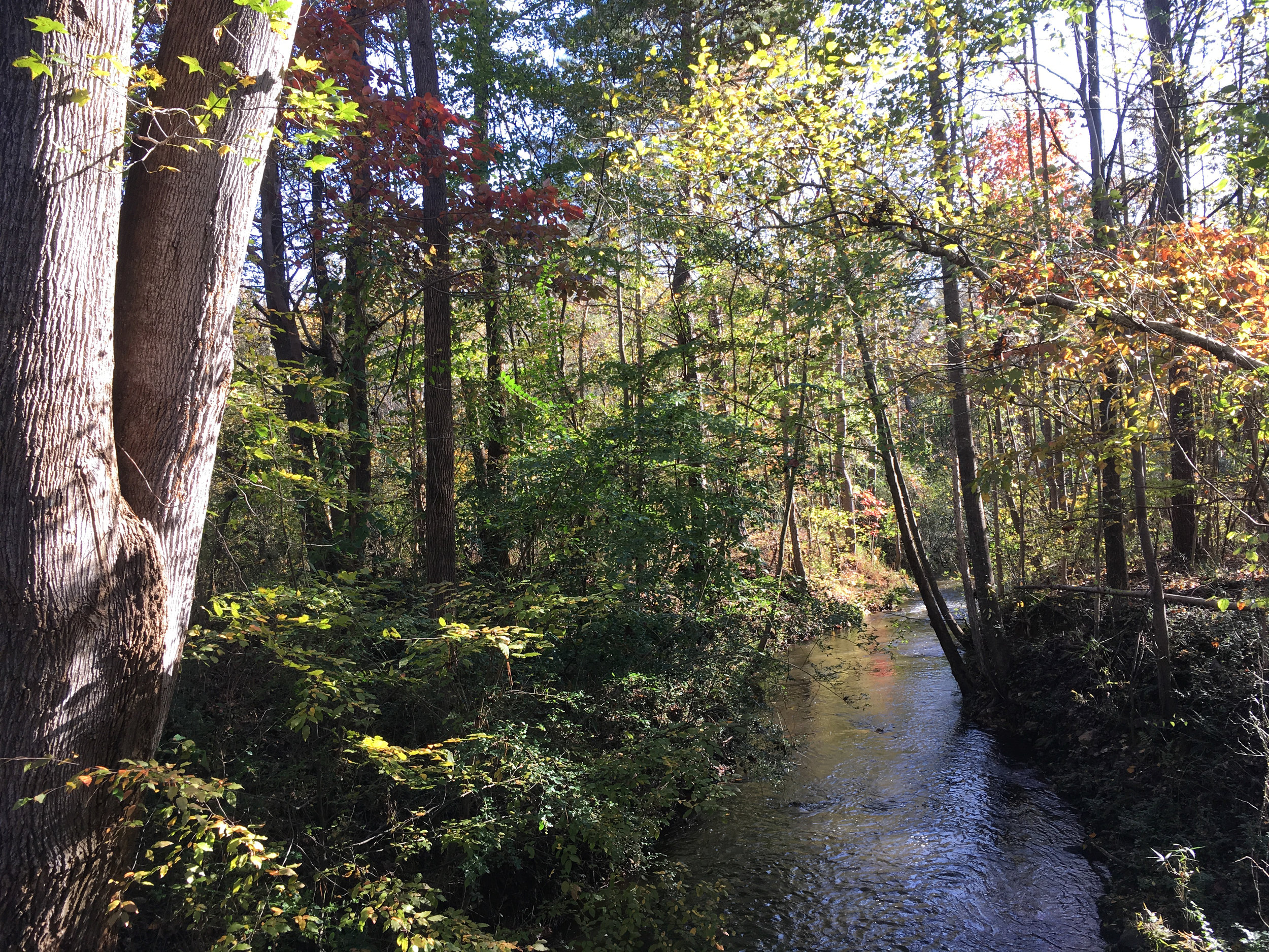
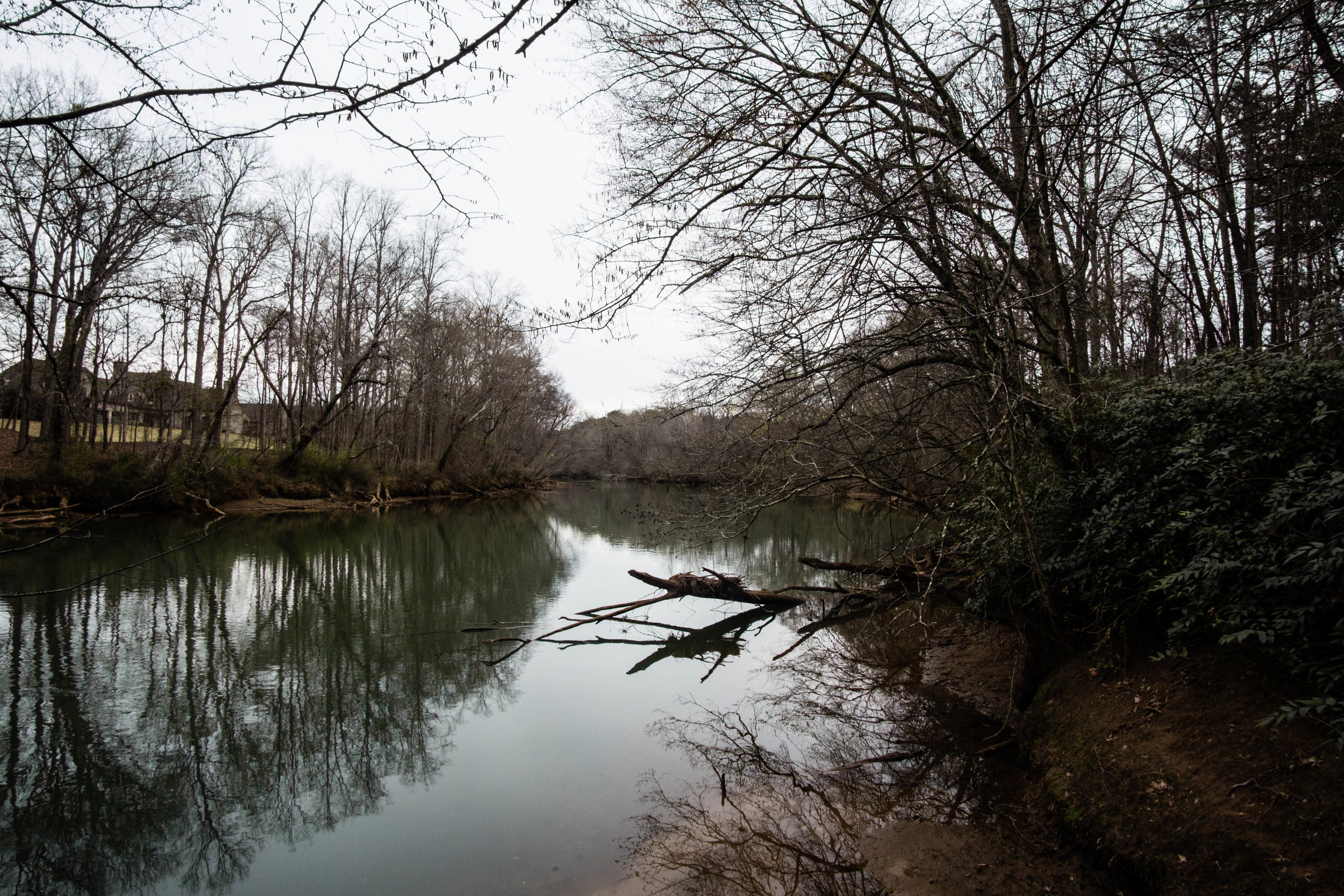
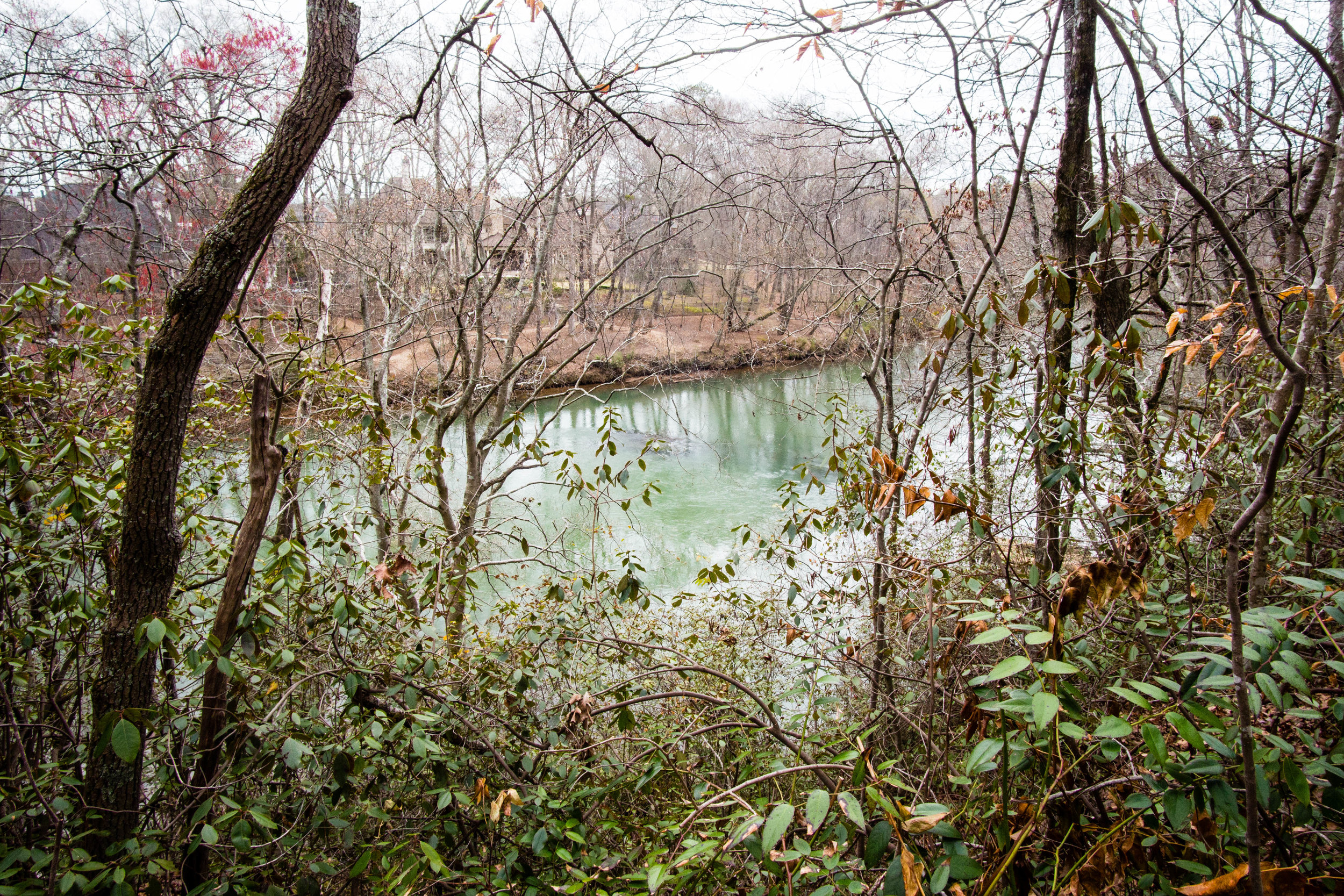
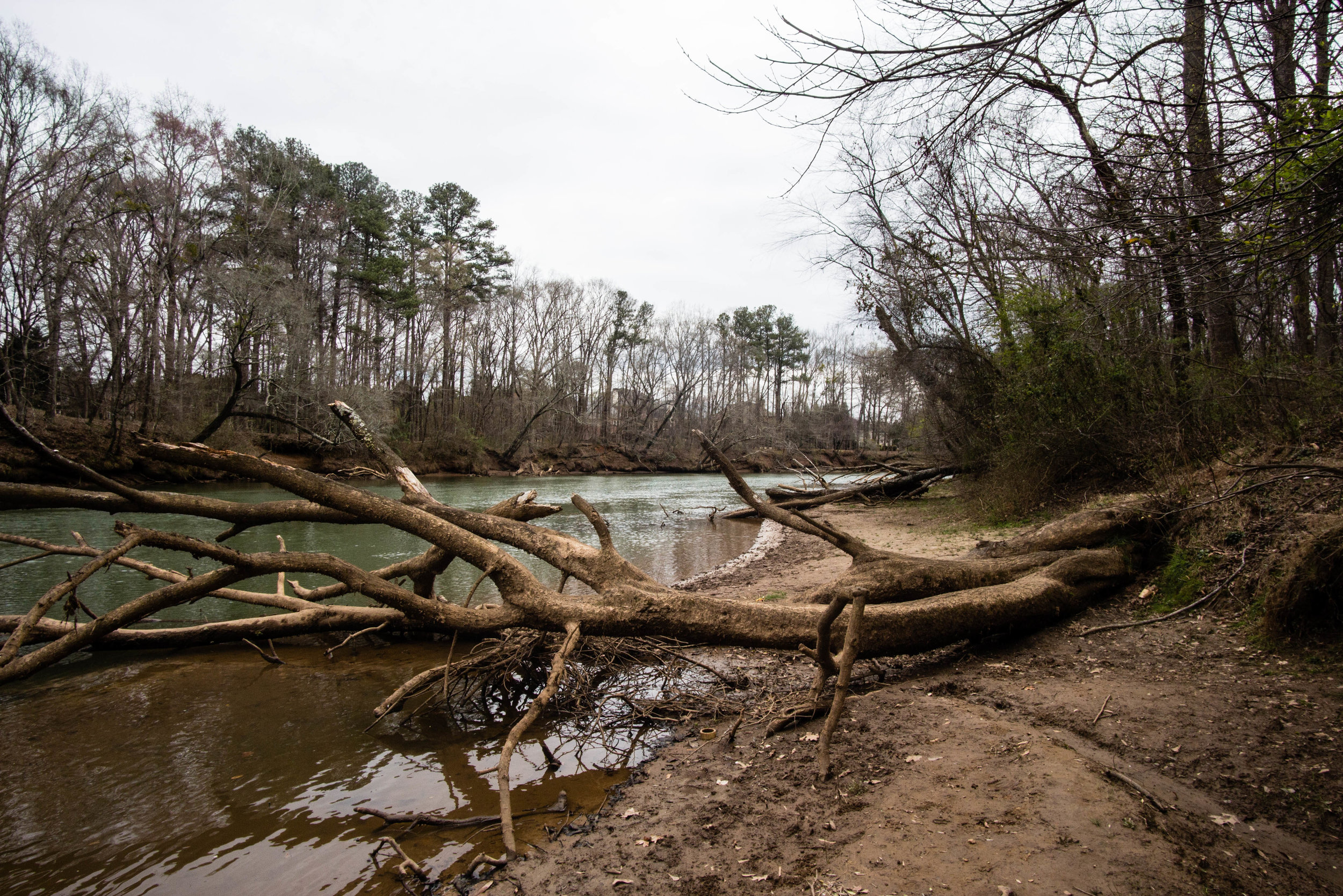
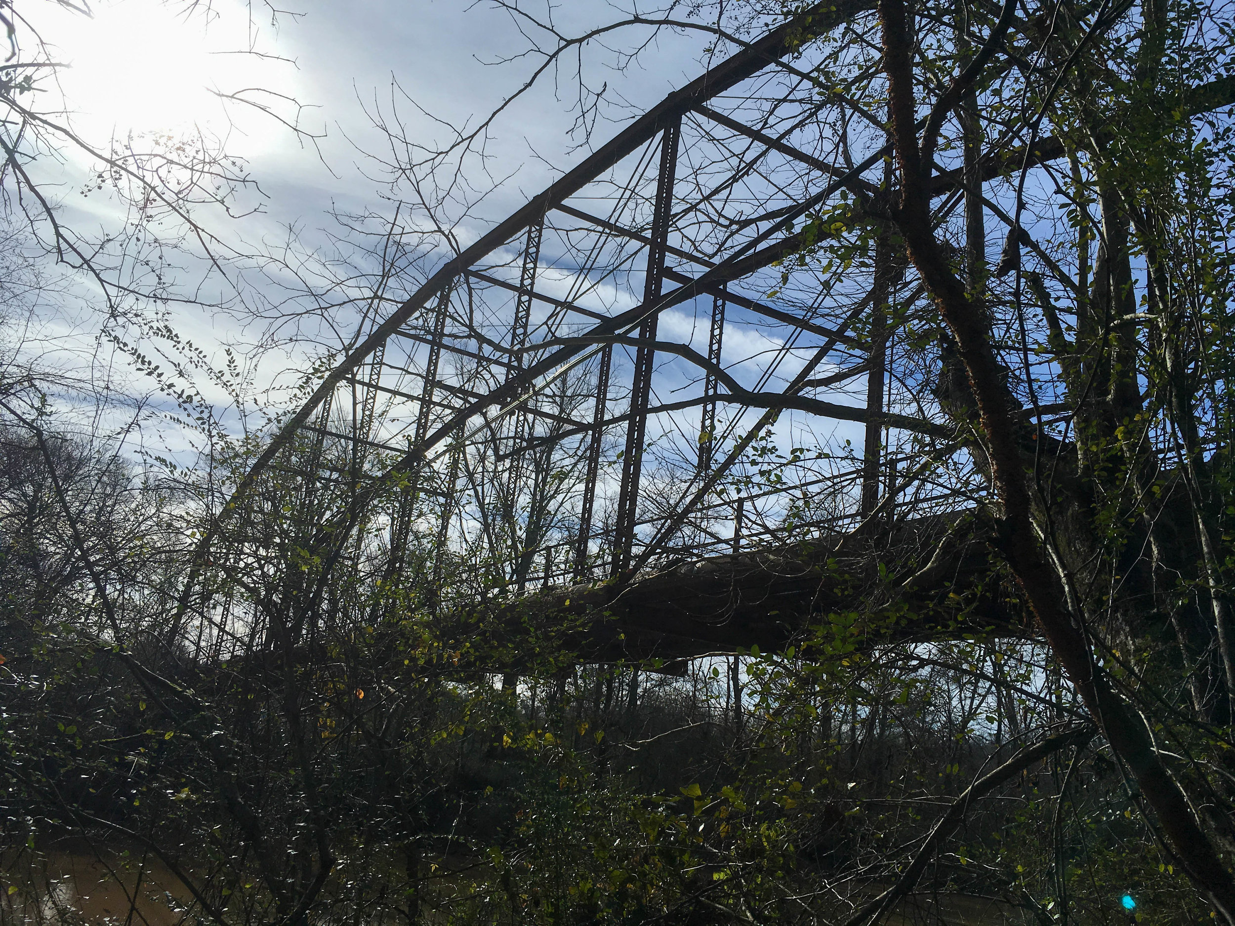
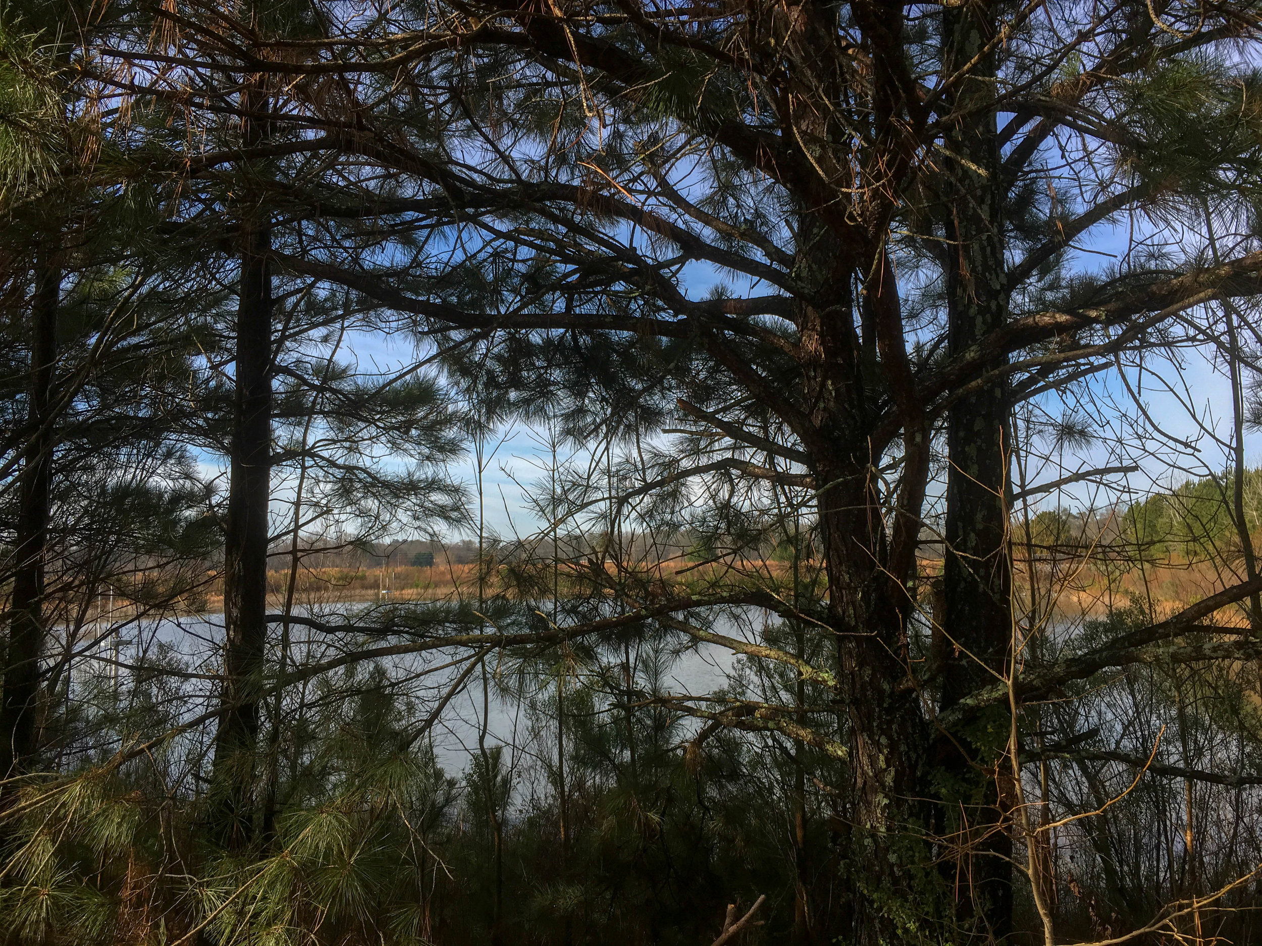
While the park borders the Chattahoochee River, there is barely any river view from the park.

There are plans to create a 195-acre city park – to be called Cauley Creek Park – to be located on this site, with construction beginning early in 2021.

Please note the potential confusion with Rogers Bridge Park in Duluth, across the river from this trail. The bridge is no longer operational, so the sites are quite far apart by road. Part of the construction project beginning in 2021 will be to reconnect the sites via a pedestrian bridge.

Also known as: Cauley Creek Park
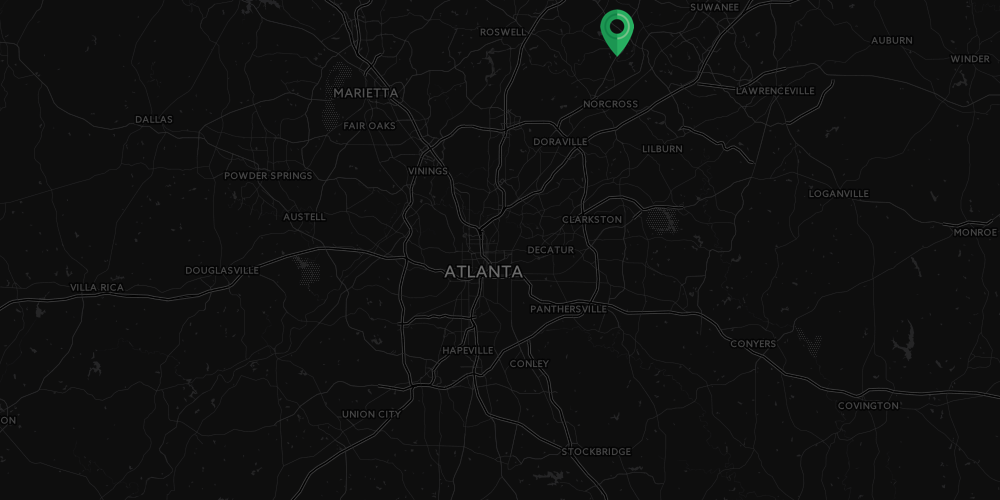
Address: Intersection of Rogers Bridge Rd and Bell Rd, Johns Creek, GA
Cost of admission: None
Governance: City of Johns Creek
Acres: Unknown
Approximate miles of trails: 1.3
Hours: Unknown
Miles from downtown Atlanta: 25
Transit directions: This location is not accessible by transit
Parking: There is a small parking lot at the trailhead
Trail surface: Part paved, part natural
Blazes/markings: None

American Wigeon, December 29, 2018

American Wigeon, December 29, 2018

Field Sparrow, December 29, 2018

Field Sparrow, December 29, 2018

Remnants of Rogers Bridge, December 29, 2018

Remnants of Rogers Bridge, December 29, 2018

December 29, 2018

December 29, 2018

December 29, 2018

December 29, 2018

December 29, 2018

December 29, 2018

December 29, 2018

December 29, 2018

December 29, 2018

December 29, 2018

White-tailed Deer, December 29, 2018

White-tailed Deer, December 29, 2018

For more photos, see my flickr album.


From around the web

Random eBird sightings from the last 30 days


Good to combine with:

Featured
Shorty Howell Park
Shorty Howell Park
Chattahoochee River National Recreation Area: Medlock Bridge
January 30, 2019 /Shawn Taylor
atlanta page 4, free admission, north metro, birding, near: medlock bridge, near: shorty howell
parks
Comment
mcdaniel-farm-park.png

McDaniel Farm Park

McDaniel Farm Park
November 12, 2018 by Shawn Taylor in parks

McDaniel Farm Park was sold in the 1820 land lottery. It was a subsistence farm and was farmed until 1999. The farm buildings represent a typical farm from the 1930s.

This park is a popular spot with photographers for engagement and family photos. Information about commercial photography is available here.

Address: 3251 McDaniel Rd, Duluth, GA 30096
Cost of admission: None
Governance: Gwinnett County
Acres: 134
Approximate miles of trails: 3 miles paved, 1 mile unpaved
Hours: The park is open dawn to dusk daily; the farm area is open 10-4 daily
Miles from downtown Atlanta: 21
Transit directions: From Doraville Station, take the Gwinnett County Transit bus 10A or 10B to the Gwinnett Transit Center. From there, it is a 12-minute walk to the park. From the transit center, head right on Satellite Blvd. Head left on Old Norcross Road. Then take a right on McDaniel Road and continue to the end of the road. There are sidewalks the whole way.
If you have a Breeze card, you can add cash to it for your trips there and back, or use GCT (but not MARTA) “trips” on the card. Fare information is available here. The 10A and 10B are considered “local” rides.
Trailhead(s): There are multiple trailheads at each of the two parking lots. On both ends of the parks, McDaniel Rd dead-ends at the park. The south parking lot is at 3251 McDaniel Rd (coming from Old Norcross Rd), and the north parking lot is at 3020 McDaniel Rd (coming from Duluth Hwy).
Parking is available at both parking lots, including accessible parking and bike racks at both. Bus parking is also available at the south parking lot.
Trail surface: Approximately 3 miles paved, approximately 1 mile natural, and approximately 0.5 miles gravel
Geocaching: Yes
Dogs allowed: Yes
Fishing allowed: Yes
Guidebook mentions: Chapter 49 in Hiking Atlanta's Hidden Forests (1st edition) and chapter 42 in 60 Hikes Within 60 Miles (3rd edition)

Amenities:

  • Two rentable picnic pavilions and assorted other picnic tables

  • Restrooms and water fountains at both the north and south end of the park

  • Small and large dog parks

  • Playground

Nearby amenities/conveniences:

  • Gwinnett Place Mall is nearby

Links:

  • Gwinnett County

November 10, 2018

November 10, 2018

November 10, 2018

November 10, 2018

November 10, 2018

November 10, 2018

November 10, 2018

November 10, 2018

November 10, 2018

November 10, 2018

November 10, 2018

November 10, 2018

For more photos, see my flickr album.


From around the web

Recent iNaturalist observations

iNaturalist.org
View more observations near McDaniel Farm Park on iNaturalist.org »

Random eBird sightings from the last 30 days


Good to combine with:

Featured
Shorty Howell Park
Shorty Howell Park
Chattahoochee River National Recreation Area: Medlock Bridge
Autrey Mill Nature Preserve
November 12, 2018 /Shawn Taylor
atlanta page 4, near: medlock bridge, near: autrey mill, multi-use path, free admission, north metro, allows dogs, dog park, 3+ miles of trails, near: shorty howell
parks
Comment

Chattahoochee River National Recreation Area: Medlock Bridge

Medlock Bridge Chattahoochee
March 11, 2017 by Shawn Taylor in parks

Address: 4690 Medlock Bridge Road Duluth, GA 30097
Cost of admission: Free + $5/vehicle for parking
Governance: NPS
Acres: Unknown
Approximate miles of trails: 2
Hours: Sunrise to sunset
Miles from downtown Atlanta: 21
Trail surface: Natural
Amenities:

  • Boat ramp

Links:
NPS
Park map

March 11, 2017
March 11, 2017
March 11, 2017
March 11, 2017
March 11, 2017
March 11, 2017
March 11, 2017
March 11, 2017
March 11, 2017
March 11, 2017
March 11, 2017
March 11, 2017
March 11, 2017 March 11, 2017 March 11, 2017 March 11, 2017 March 11, 2017 March 11, 2017

Good to combine with:

  • Autrey Mill Nature Preserve

  • McDaniel Farm Park

March 11, 2017 /Shawn Taylor
atlanta page 3, north metro, boat ramp, near: autrey mill, near: mcdaniel farm, near: shorty howell, near: rogers bridge, near: simpsonwood park
parks
Comment