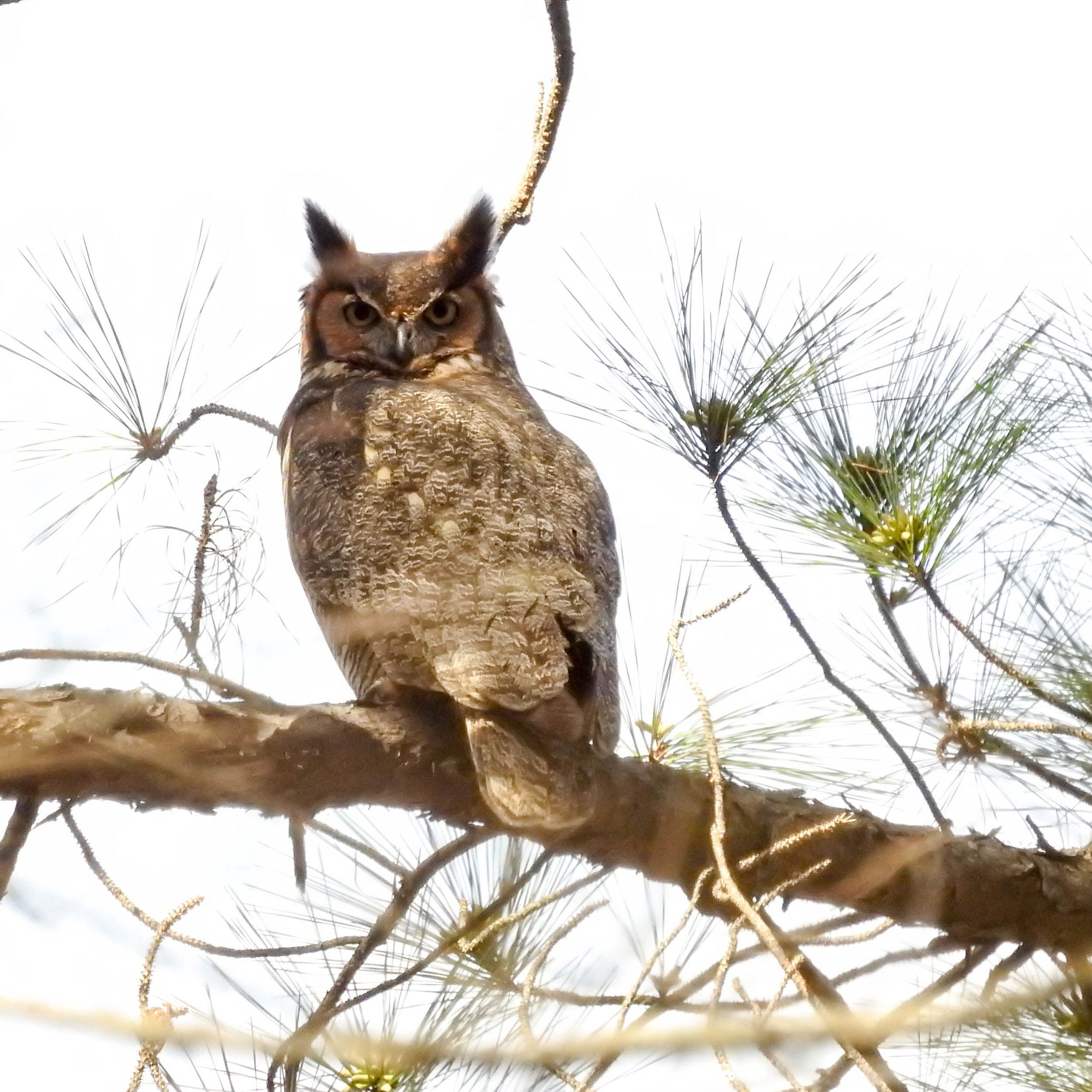

Simpsonwood Park
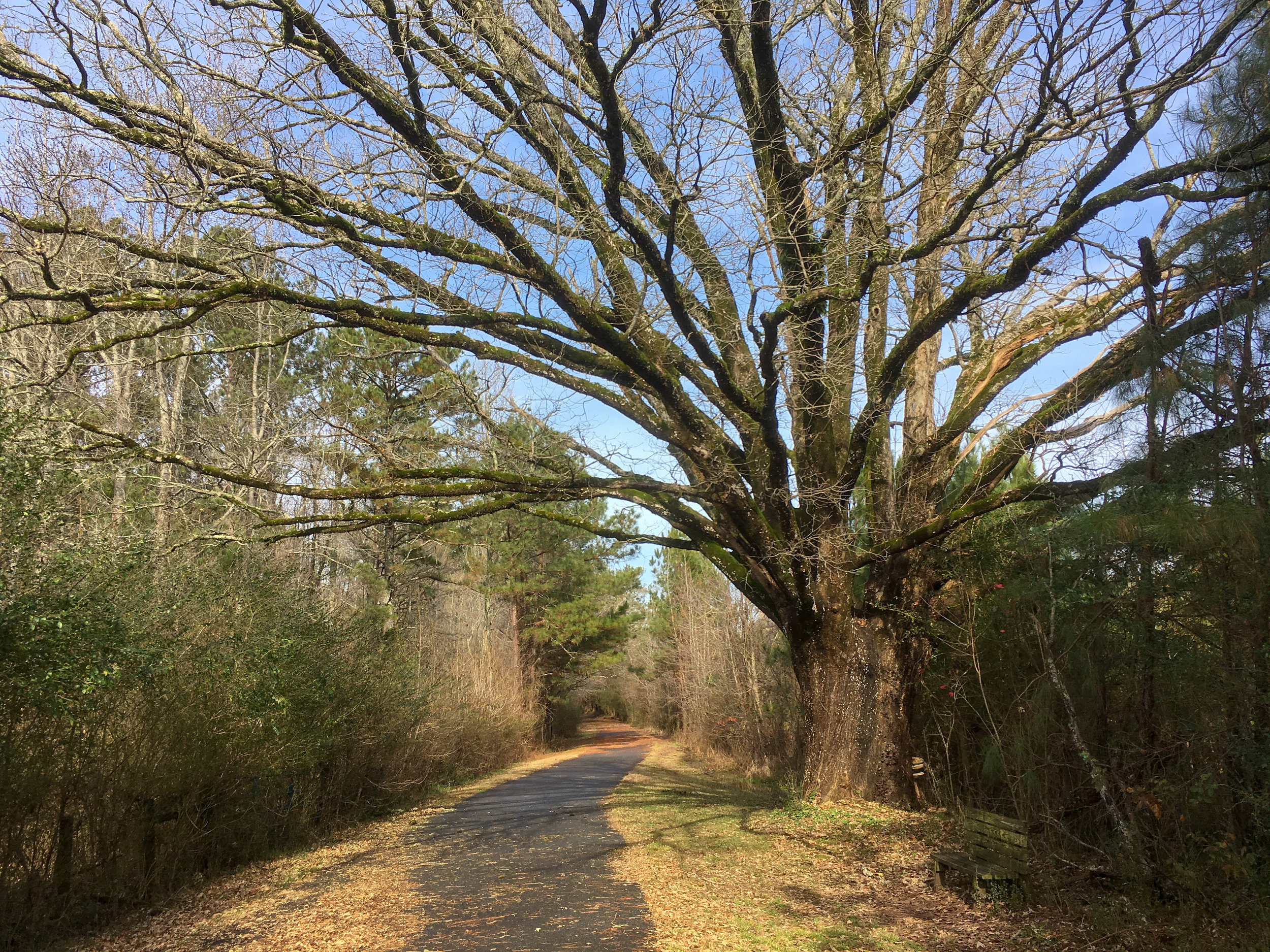
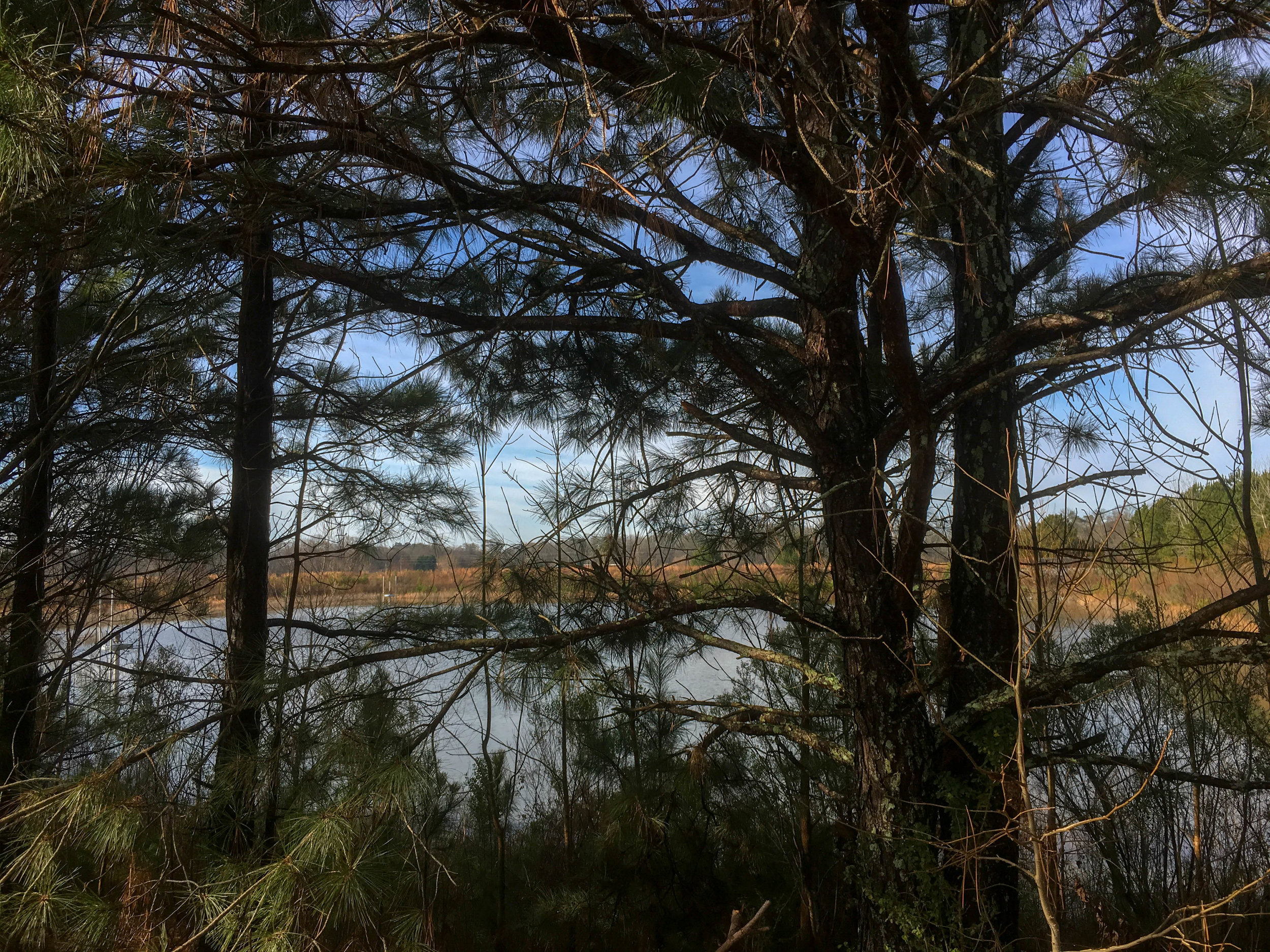
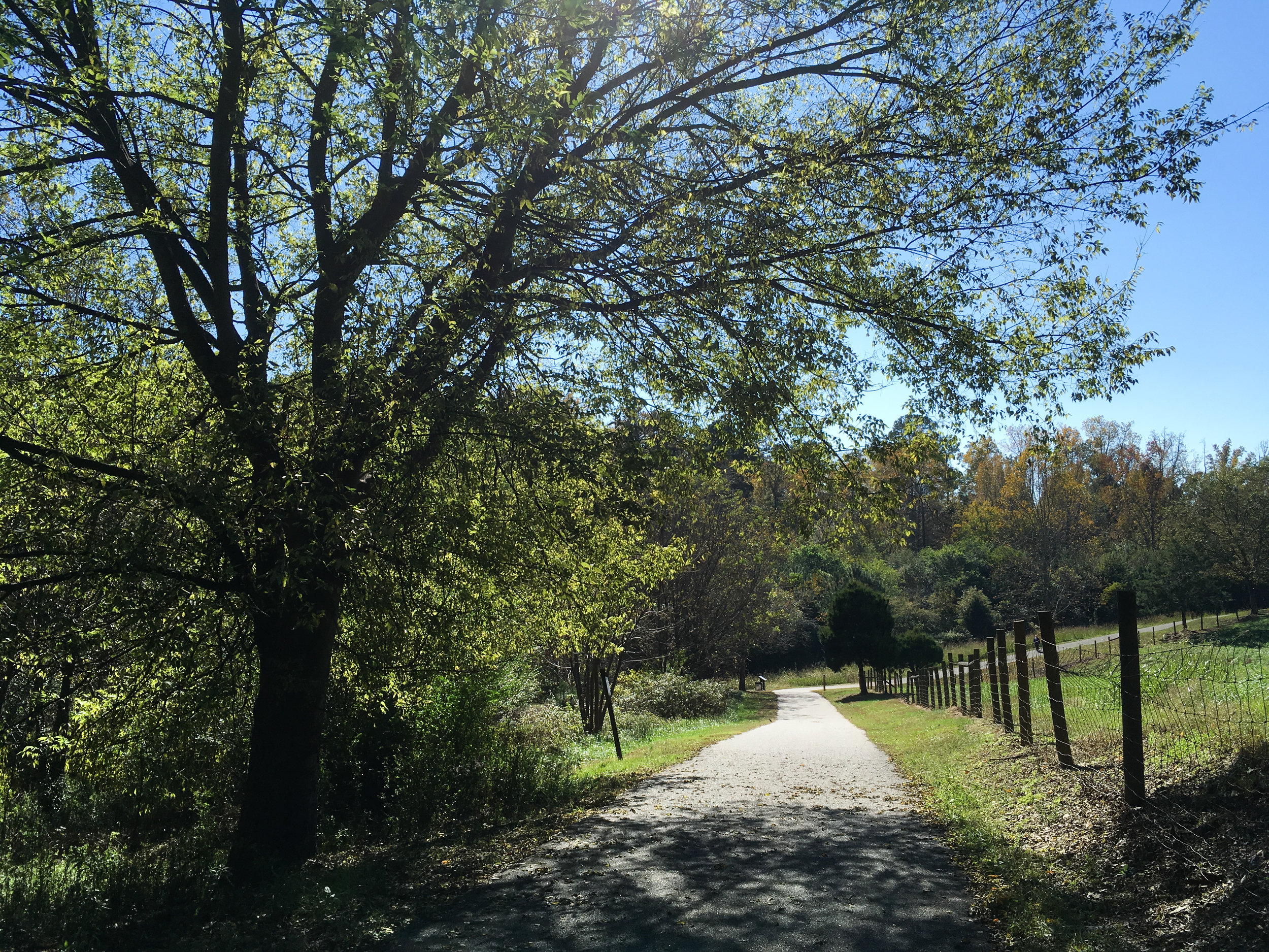
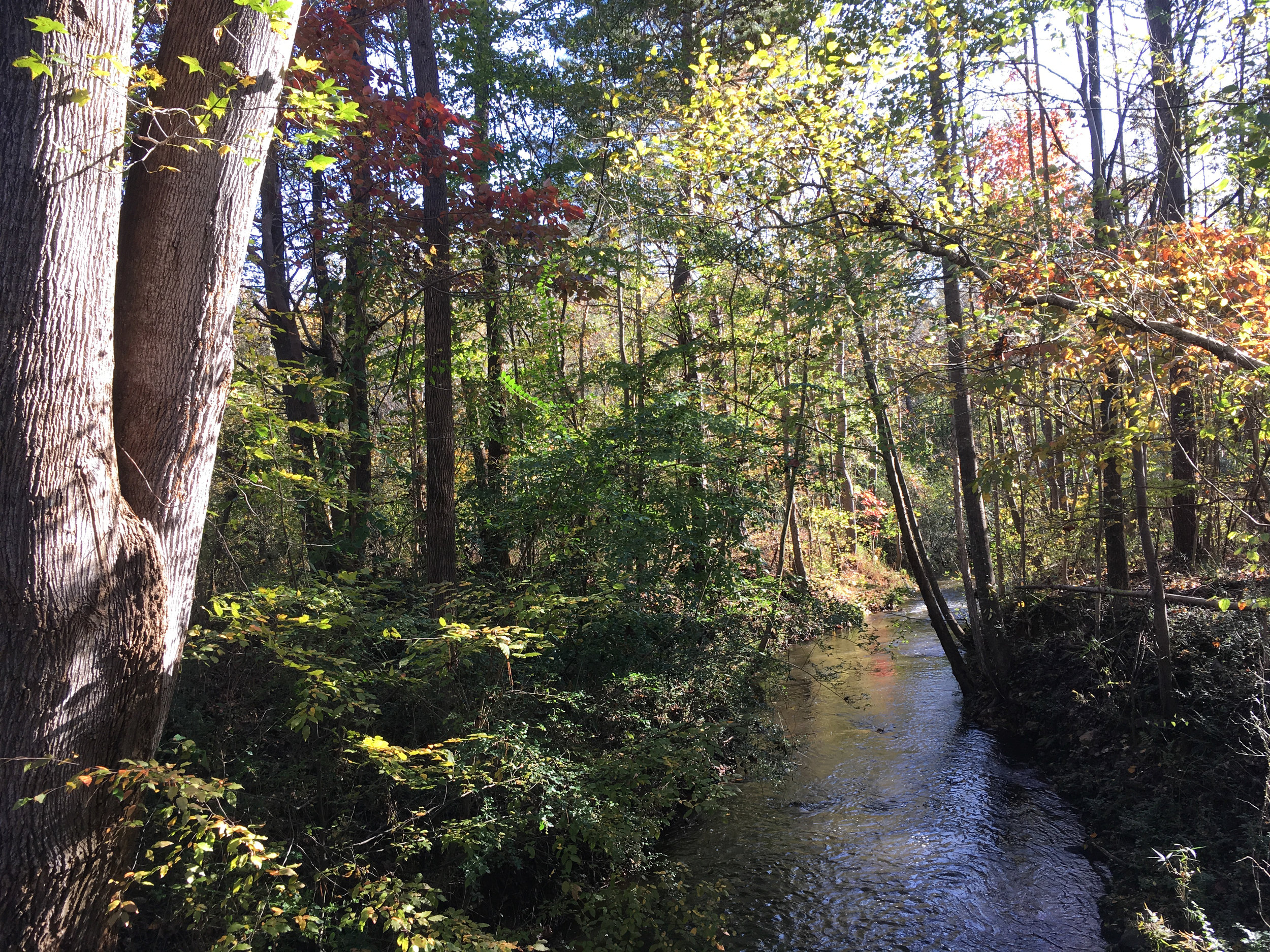
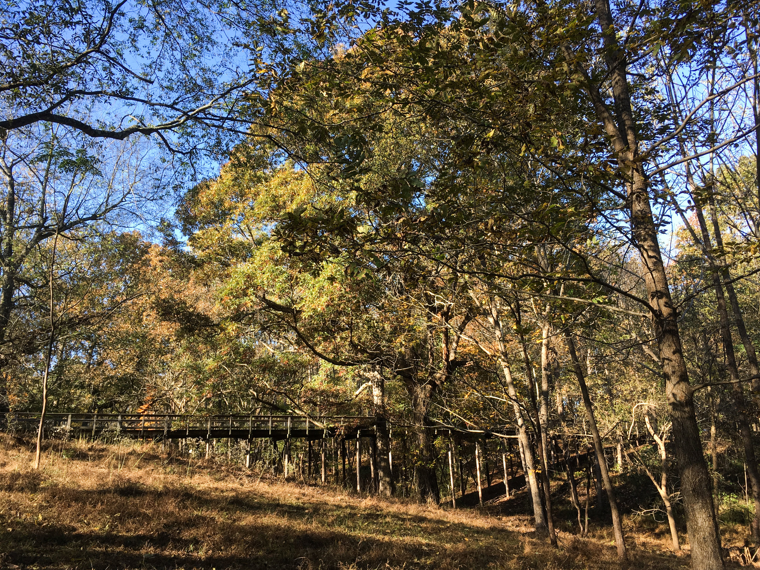
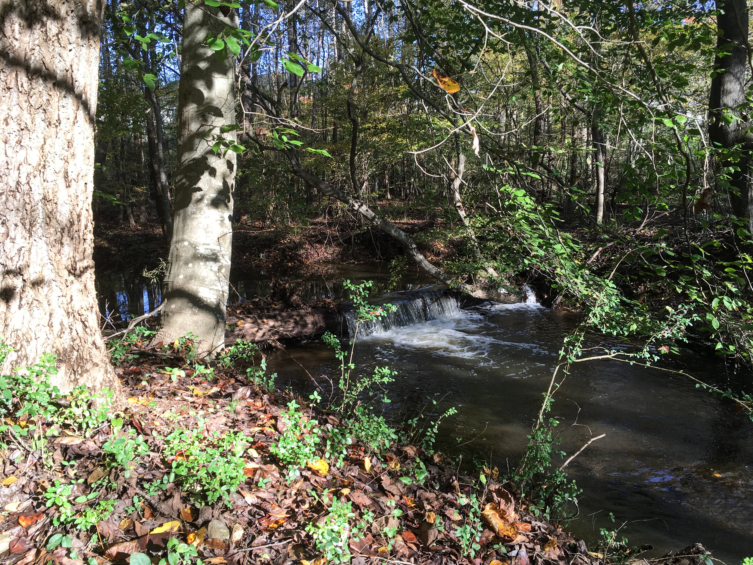
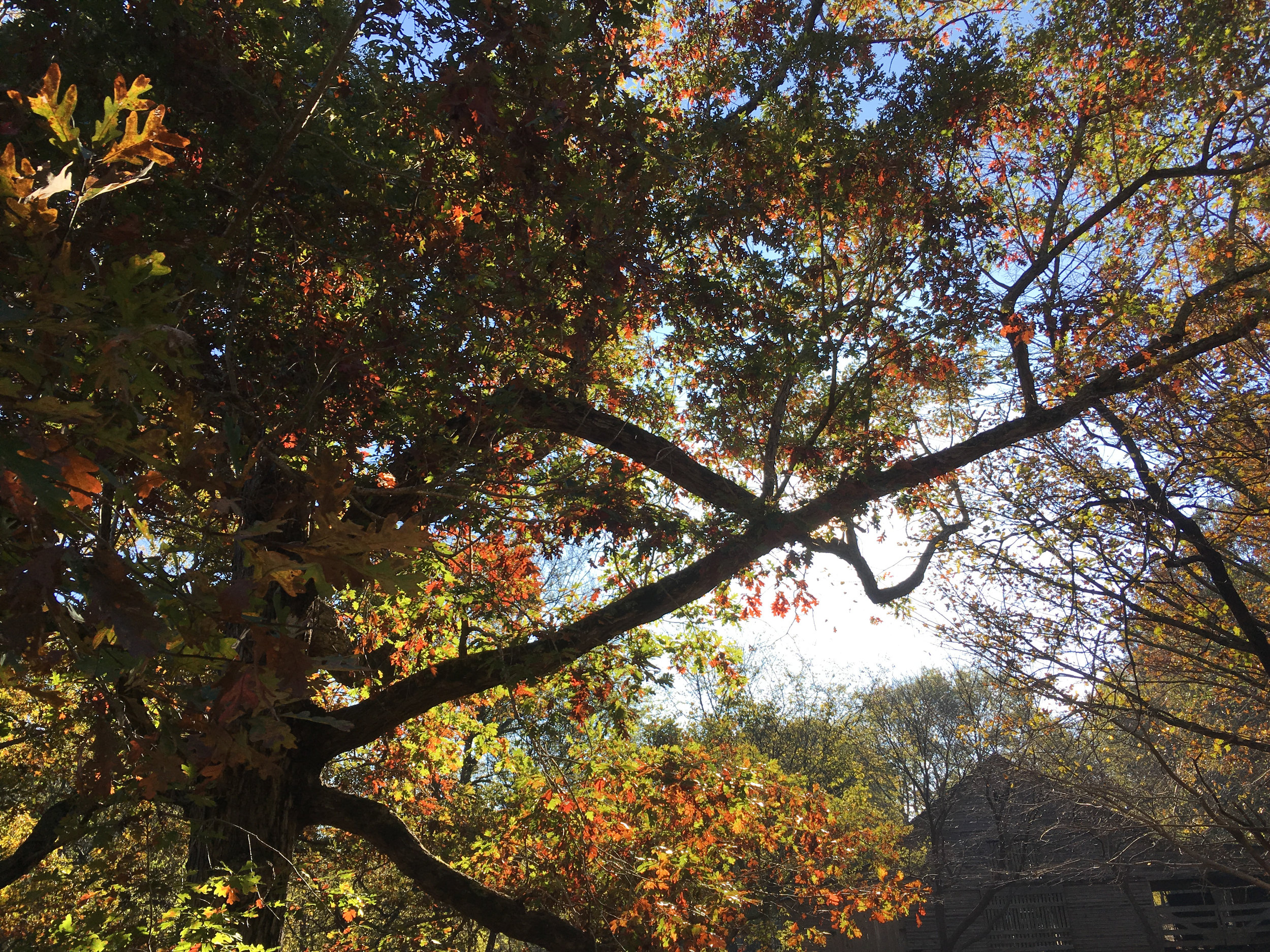
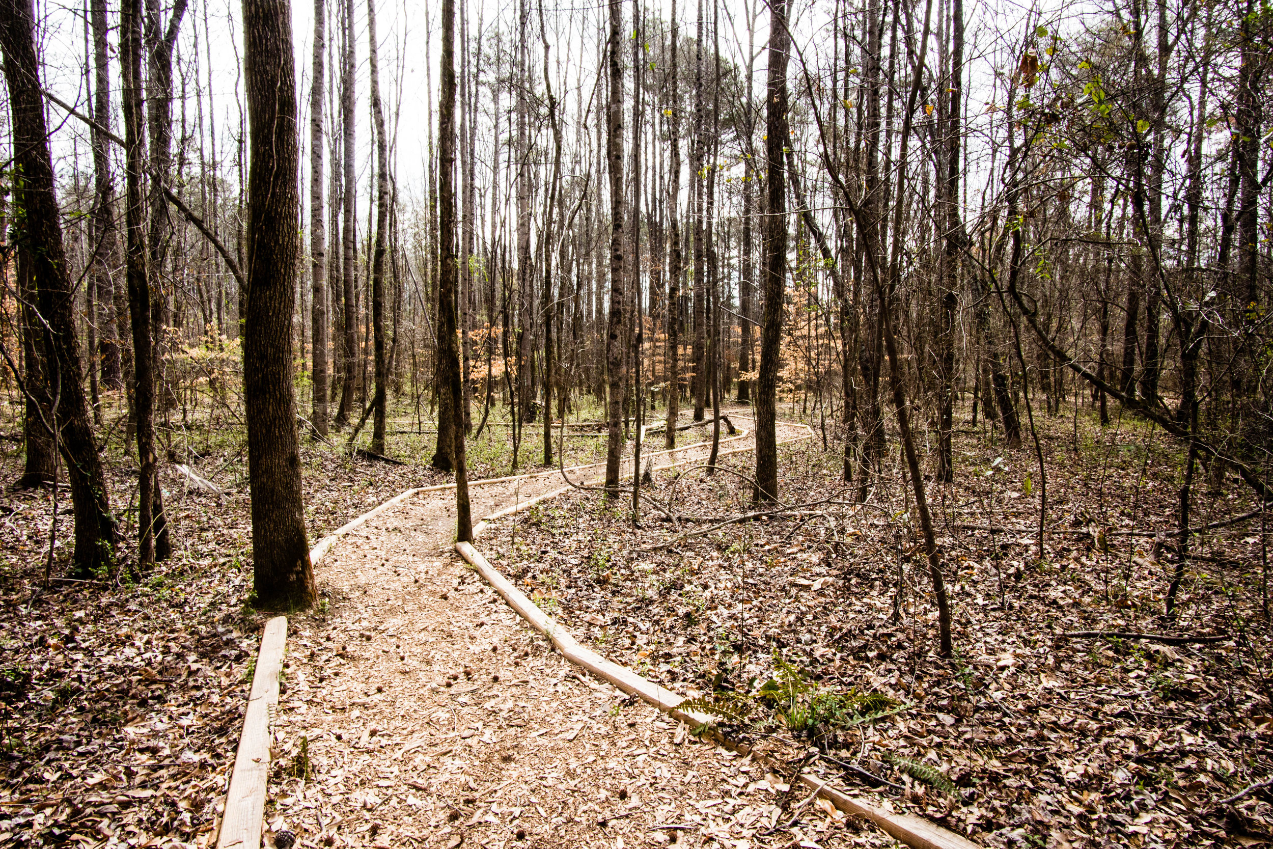
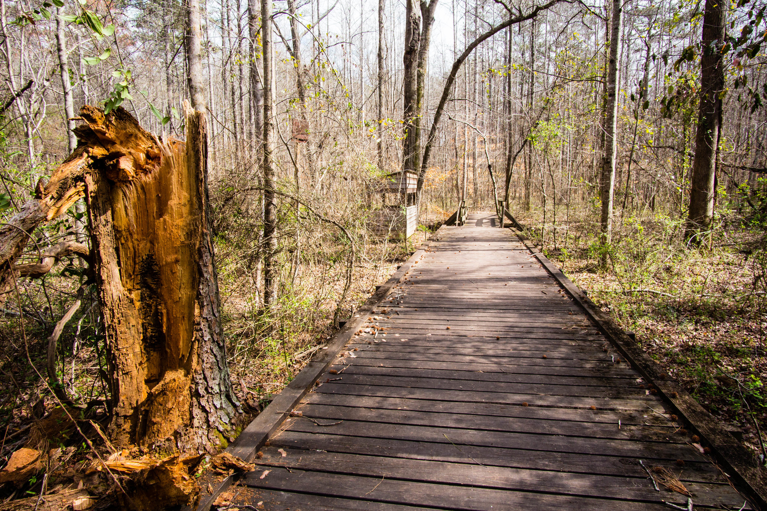
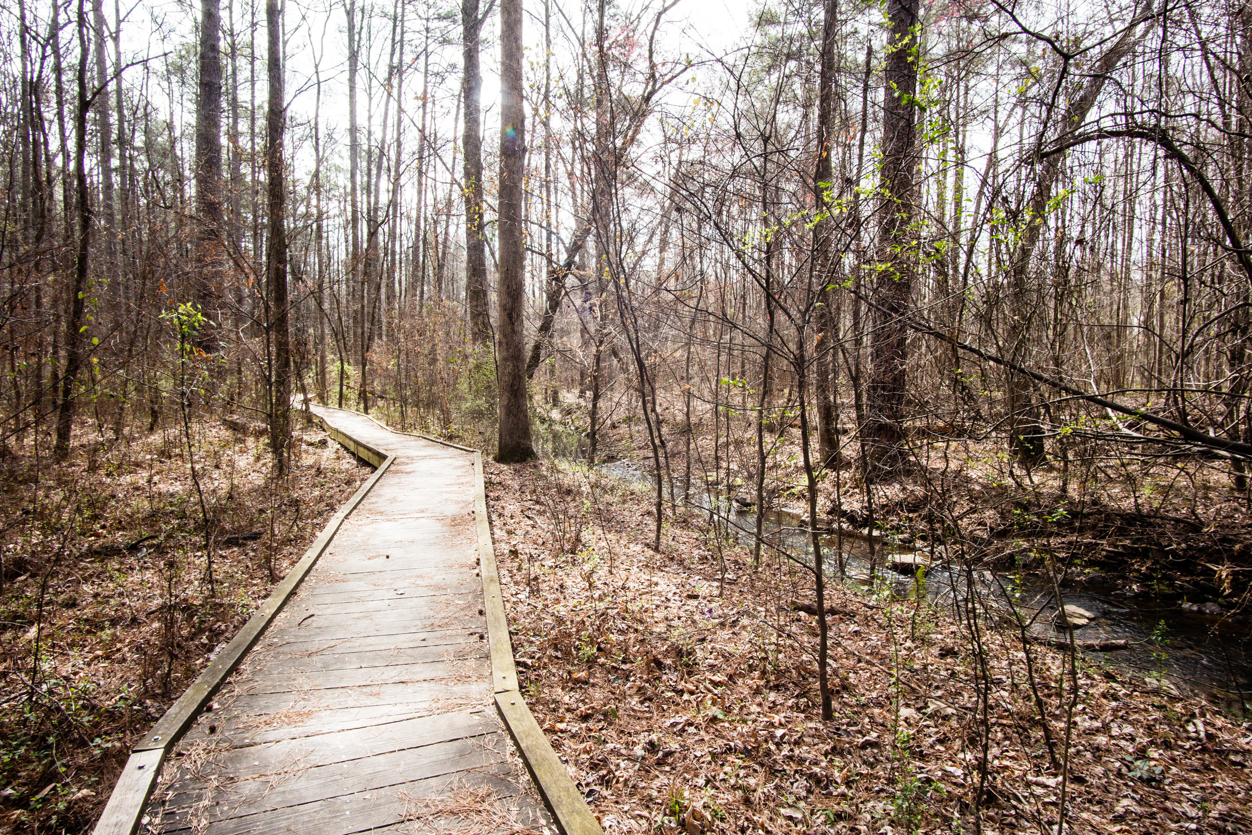
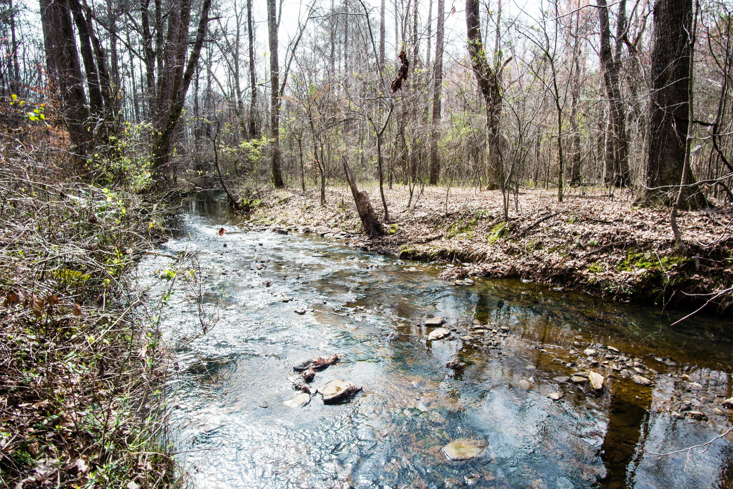
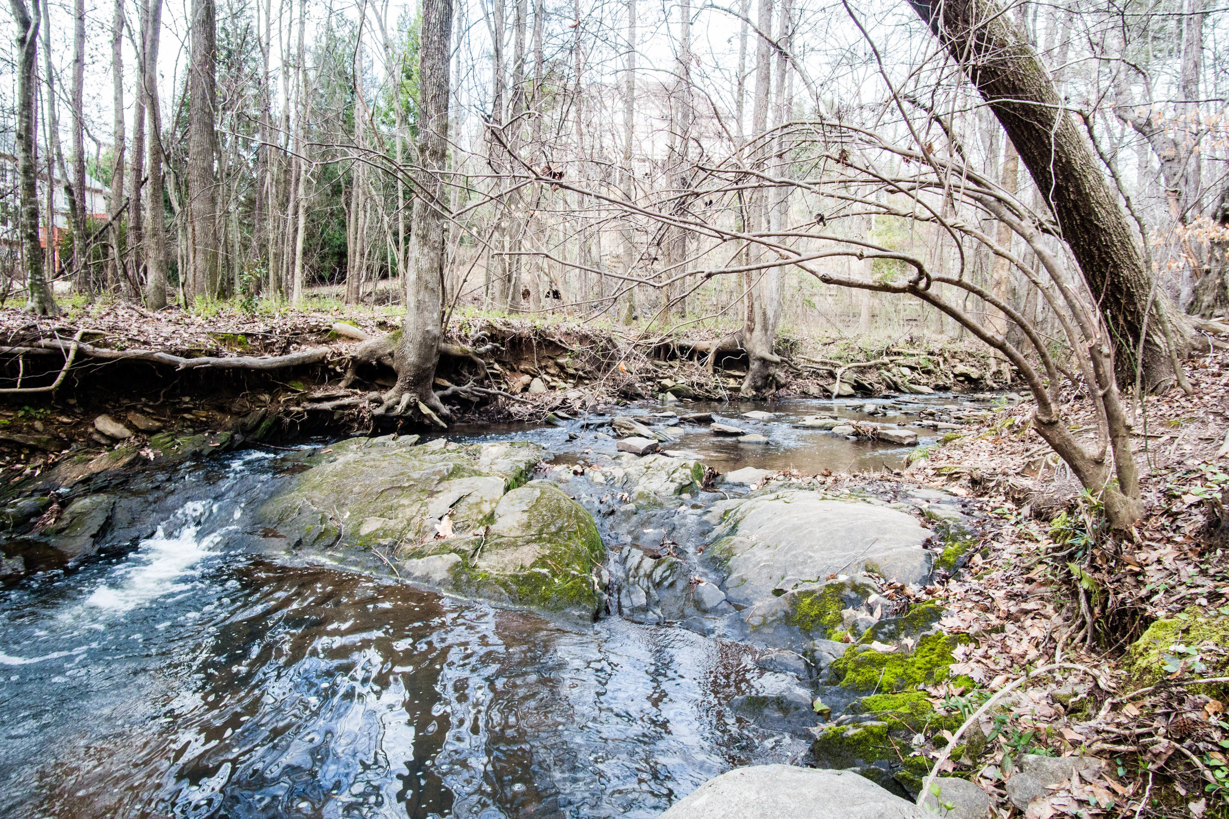
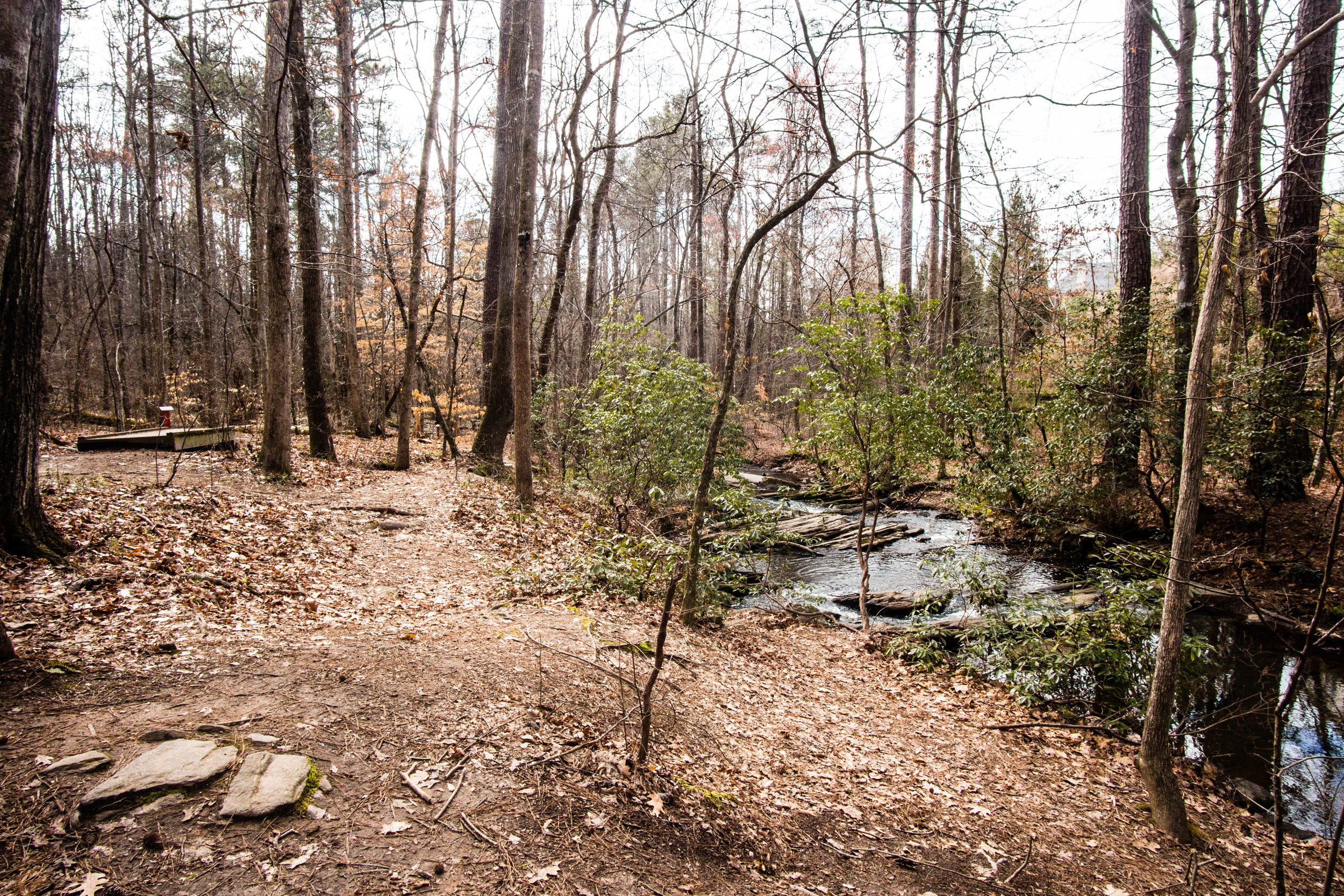
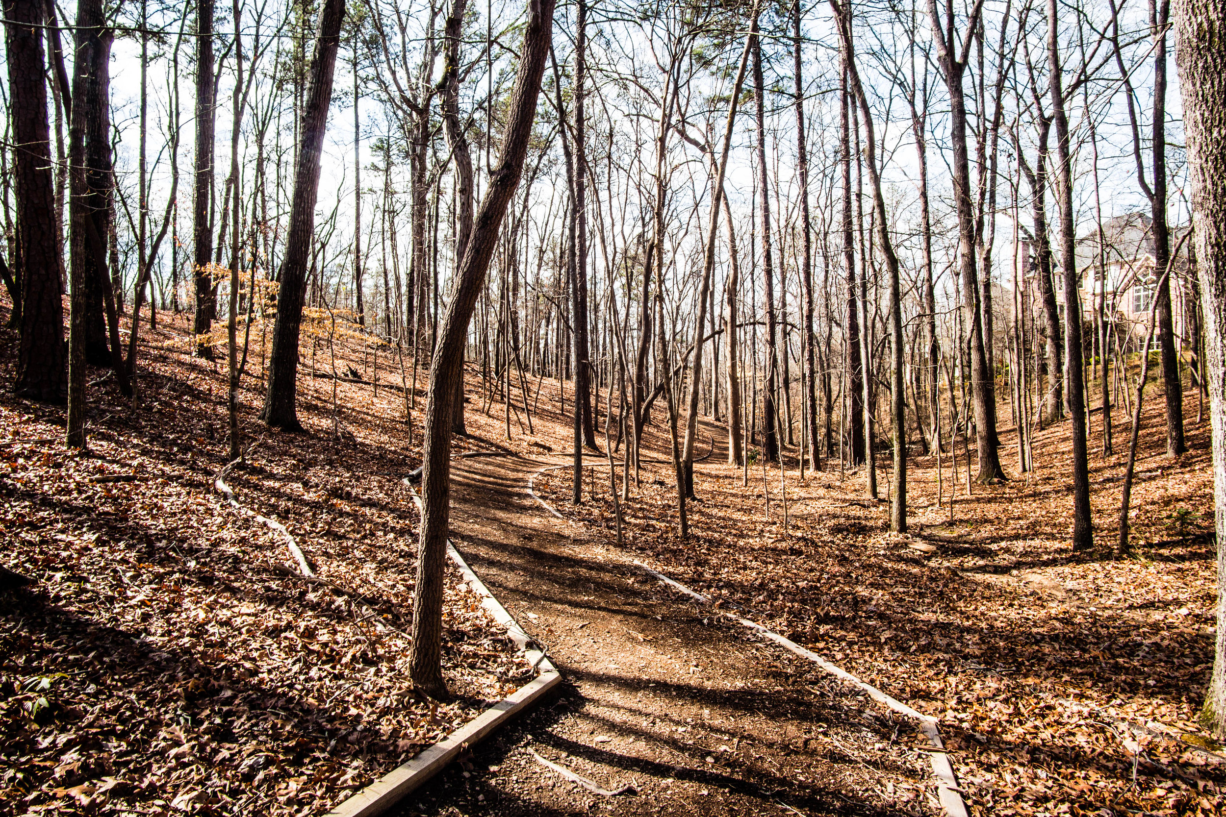
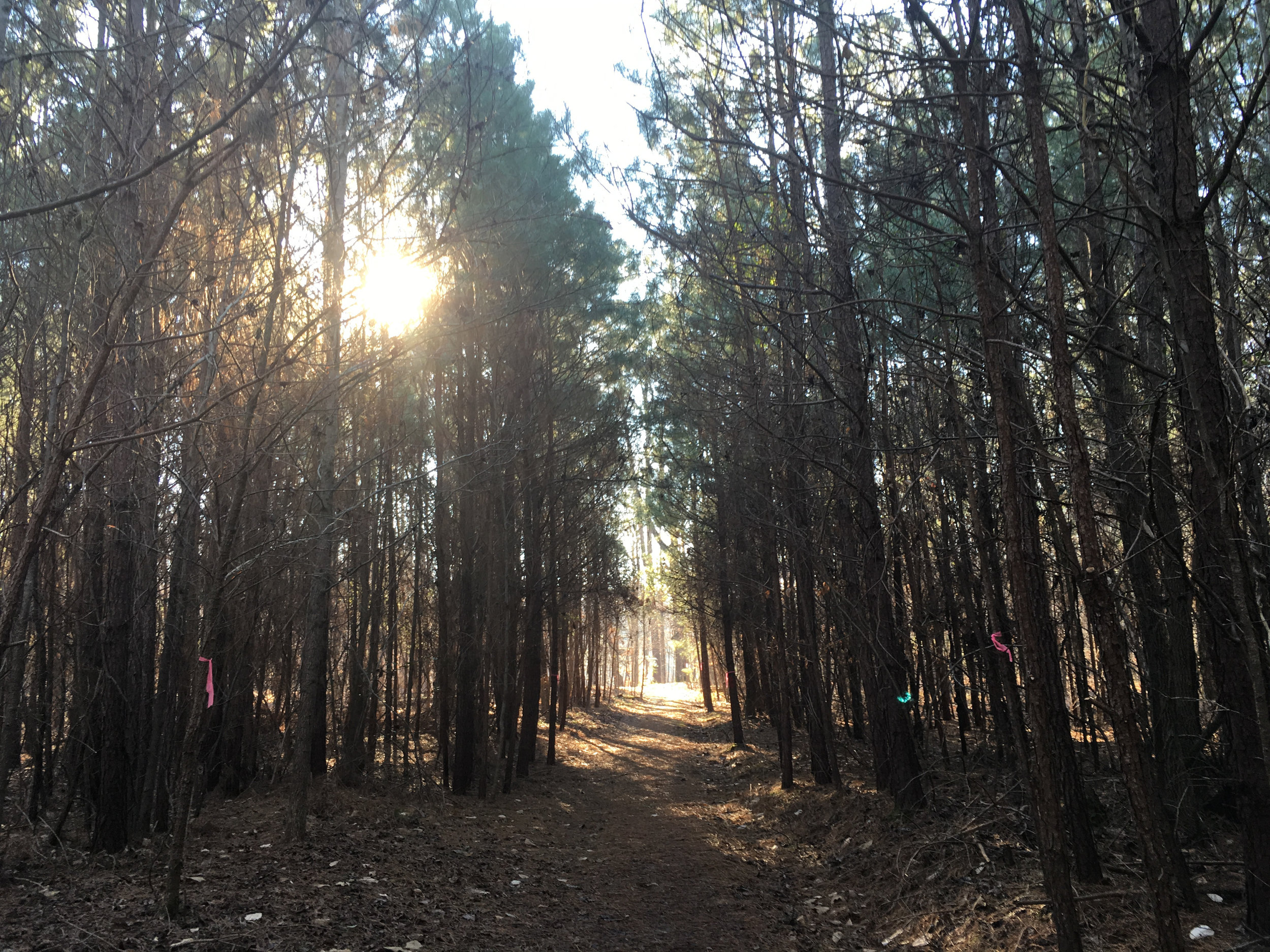
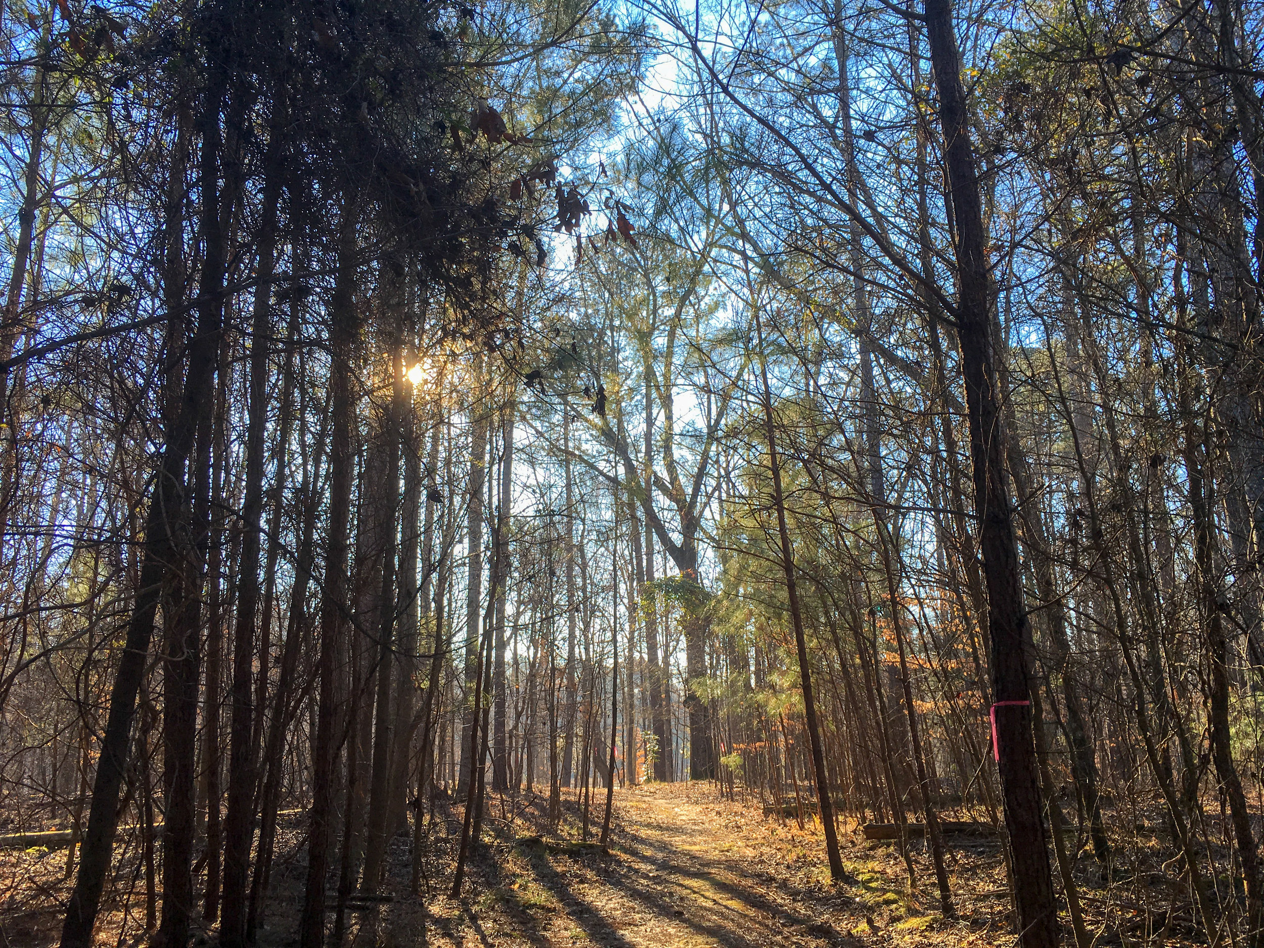
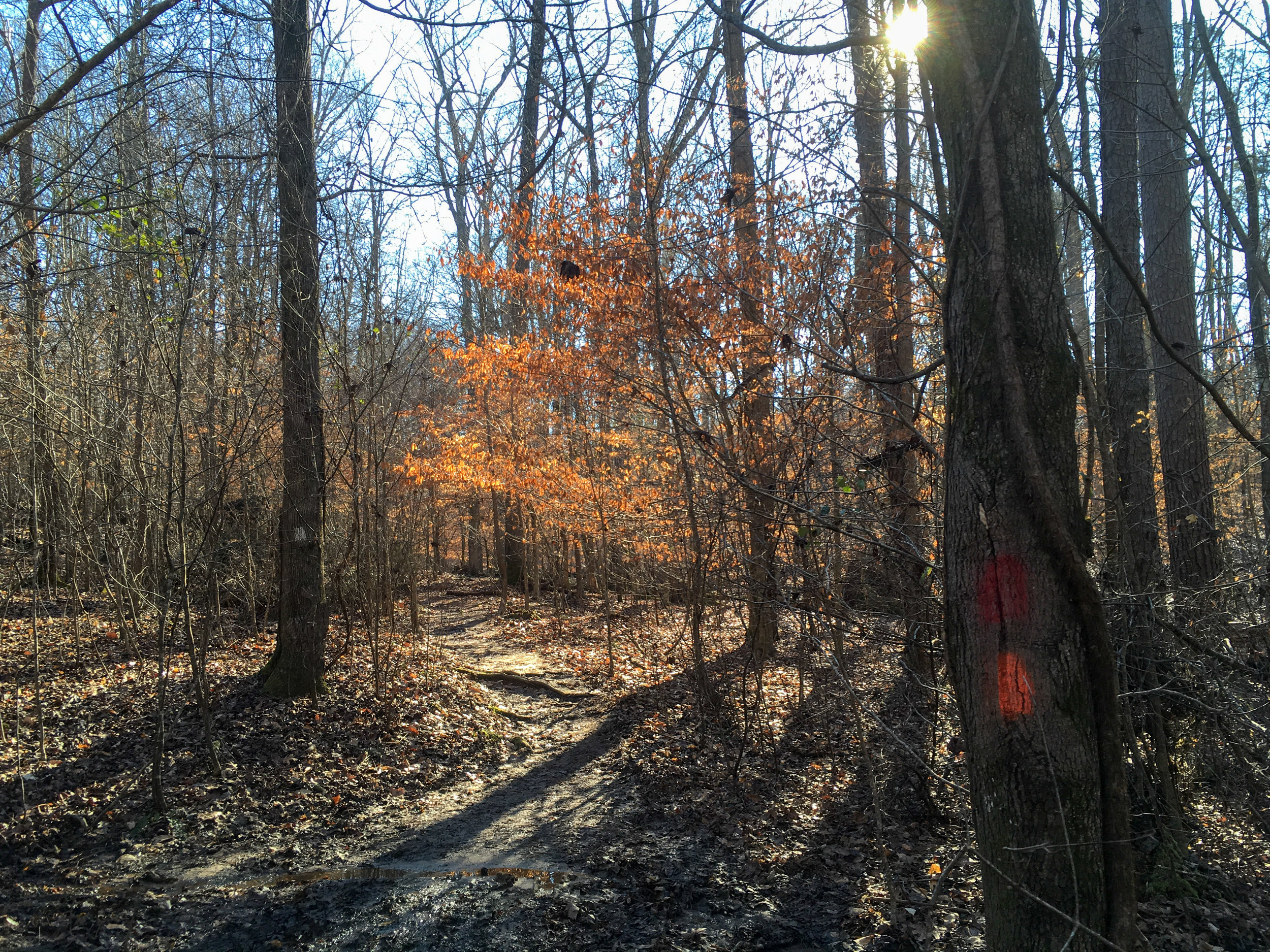
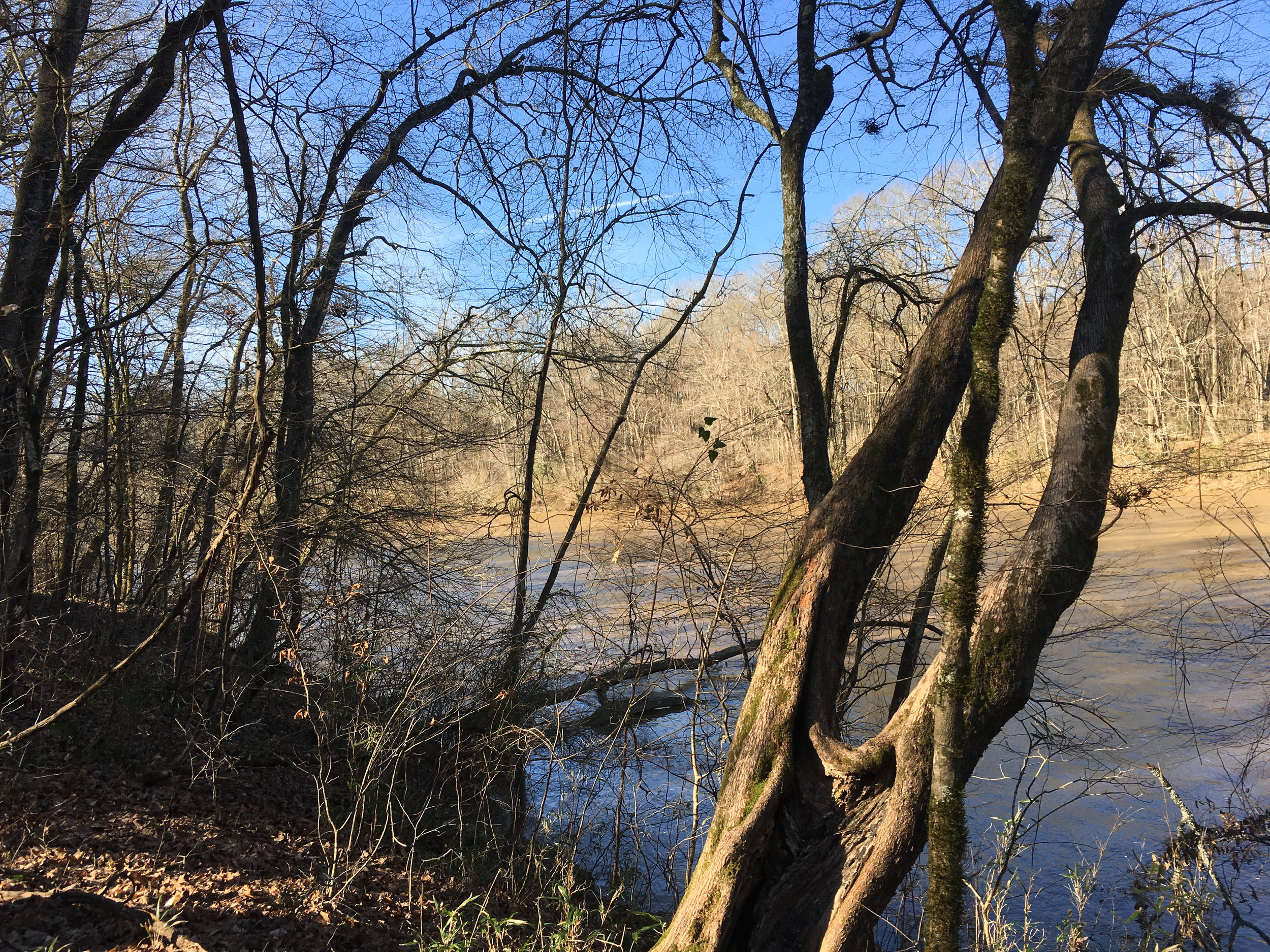
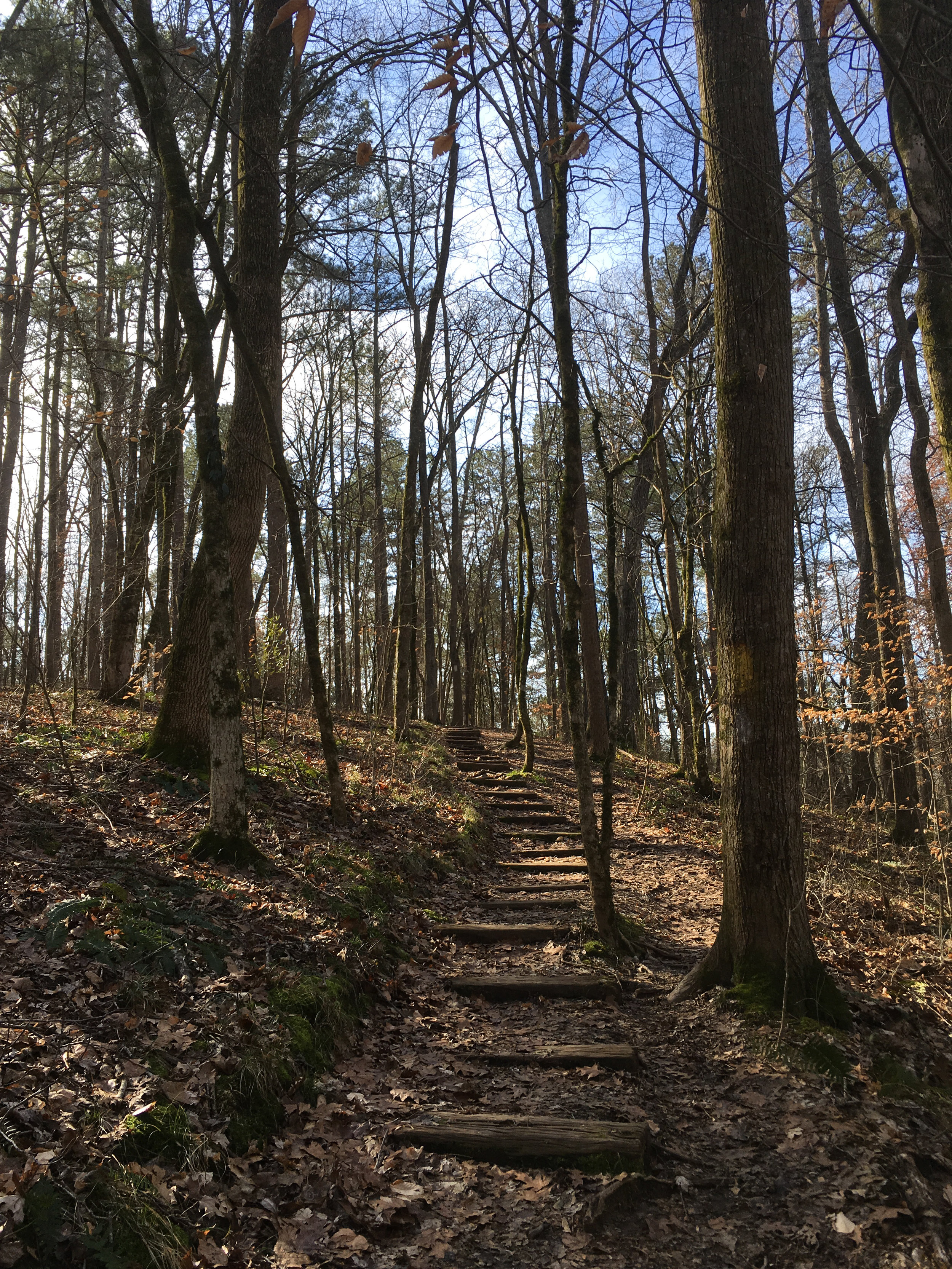
Simpsonwood Park is named after Ludie Simpson who donated the land to the Methodist Church. This Gwinnett County park borders the Chattahoochee River, directly across the river from the Jones Bridge unit of the Chattahoochee River National Recreation Area. It has about 5 miles of unpaved trails, including an approximately 3-mile-long loop trail. Although the park land no longer belongs to the Methodist Church, its chapel remains and can be rented for events.
Also known as: Simpsonwood Conference & Retreat Center
Address: 4511 Jones Bridge Circle, Peachtree Corners 30092
Cost of admission: None
Governance: Gwinnett County
Acres: 223
Approximate miles of trails: 5.3
Hours: Sunrise to sunset
Miles from downtown Atlanta: 18
MARTA directions: Not very transit accessible. The park is about two miles from the nearest Xpress bus stop (route 408) or nearest Gwinnett County Transit bus stop (route 35)
Parking: There are two parking lots available at the park
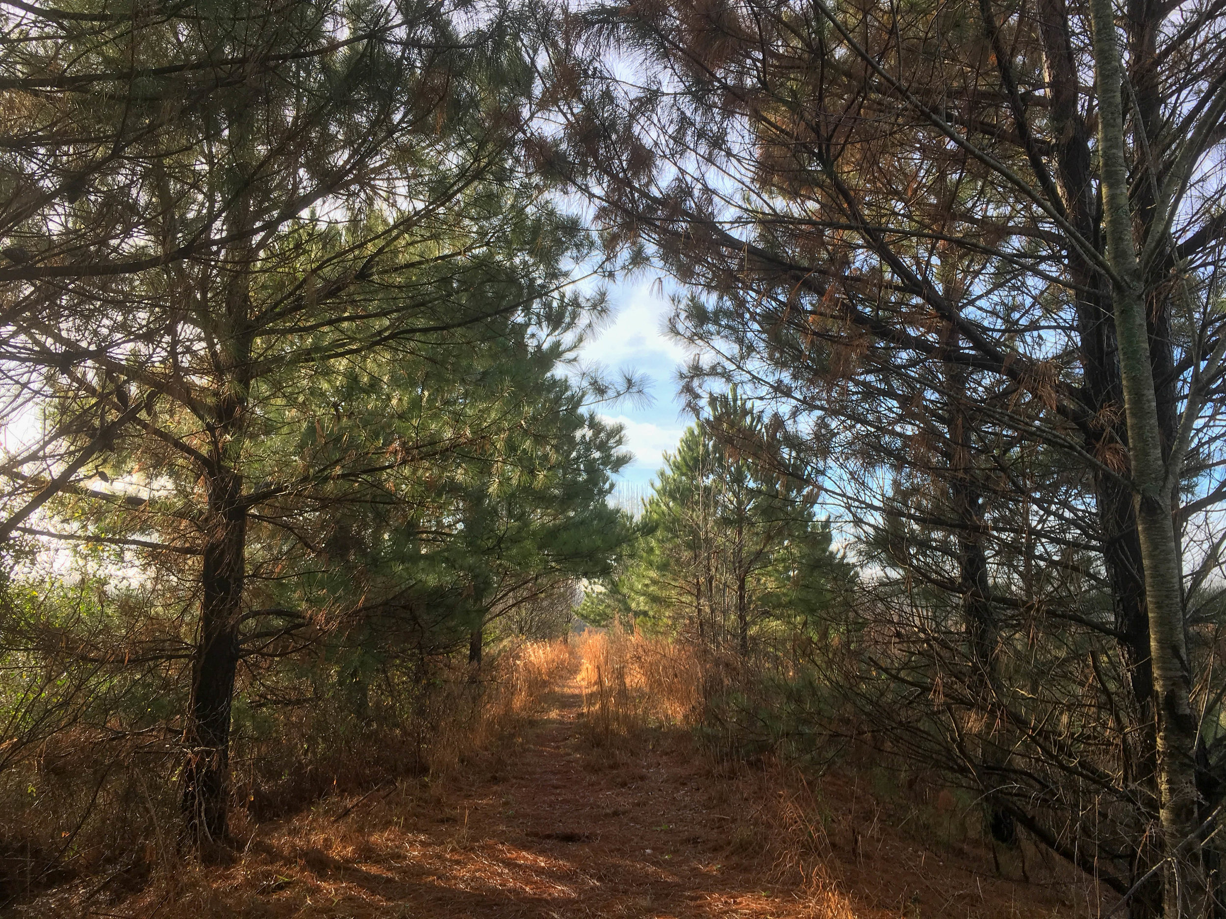
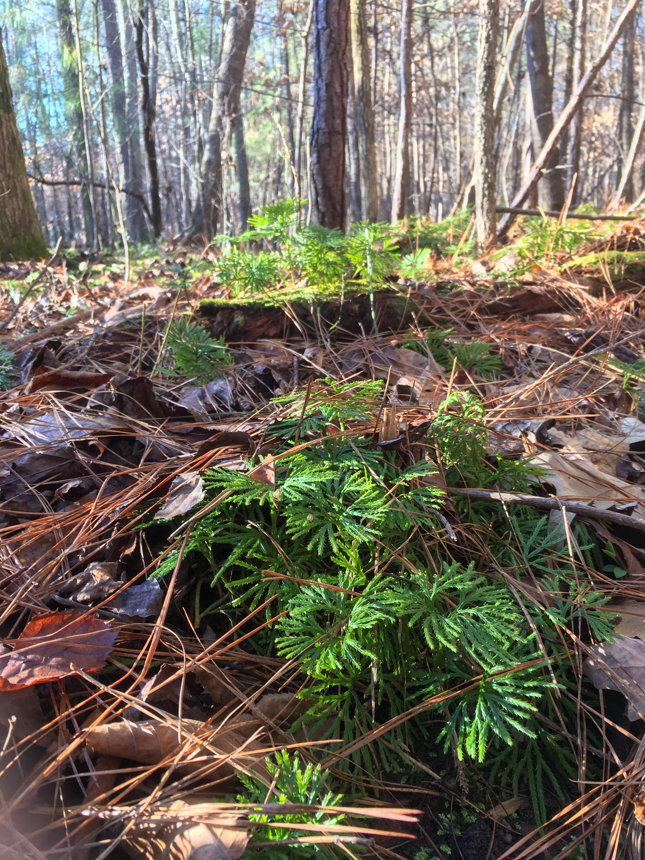
Trail surface: Natural
Blazes/markings: Most trails are blazed
Geocaching: Yes
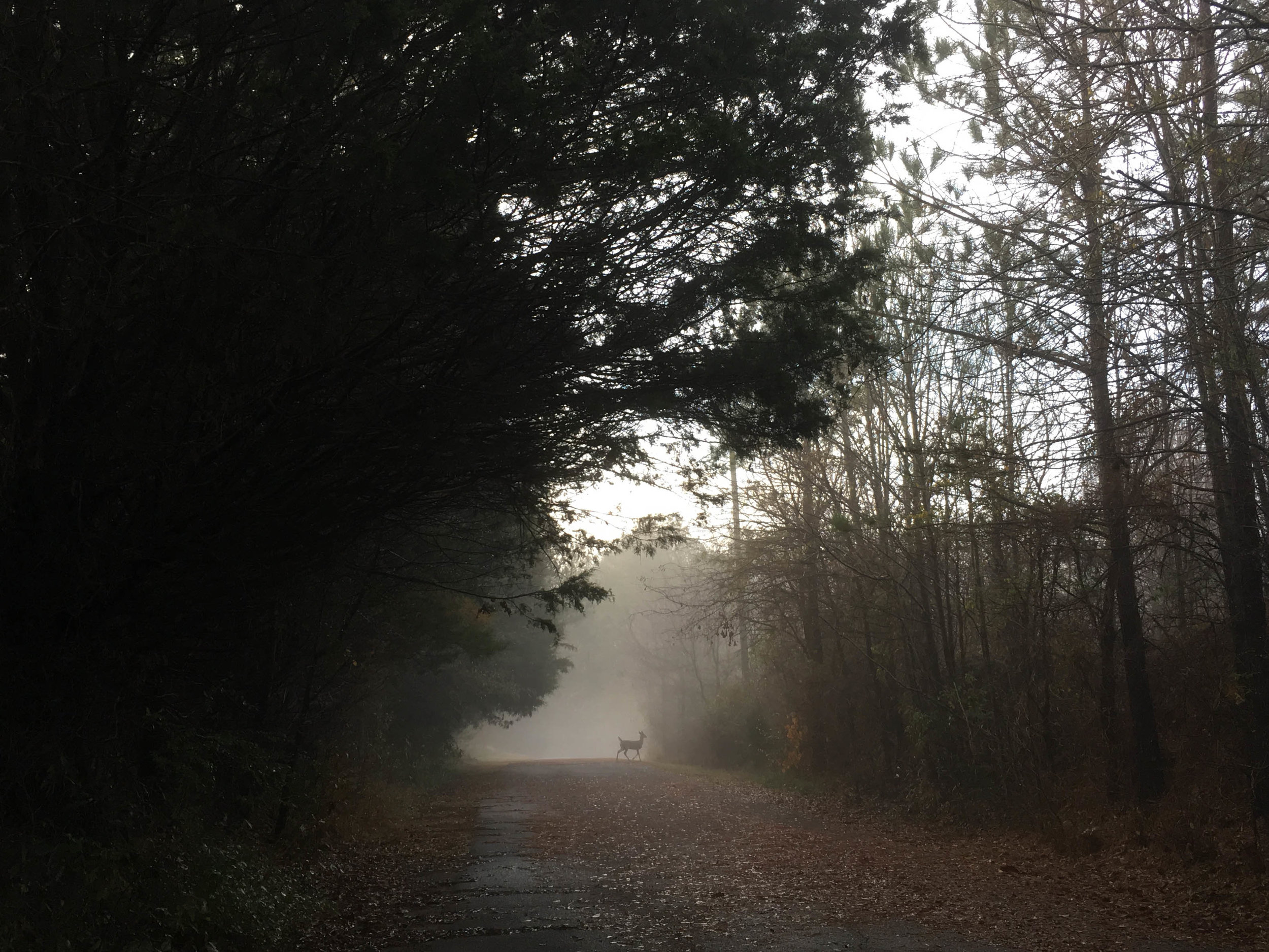
Dogs allowed: Yes
Photography policy: Gwinnett County Parks photography & film rules
Guidebook mentions: Chapter 48 in Hiking Atlanta's Hidden Forests (1st edition)
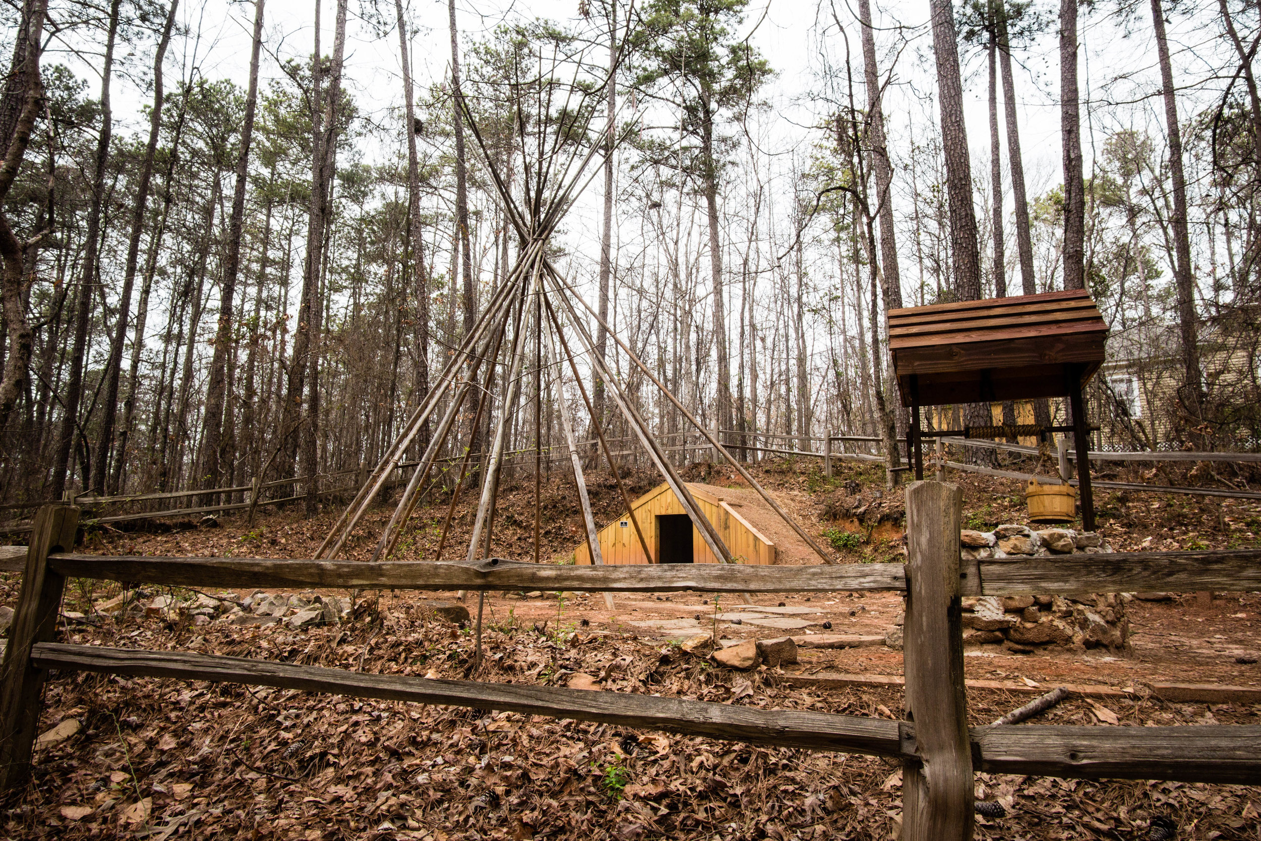
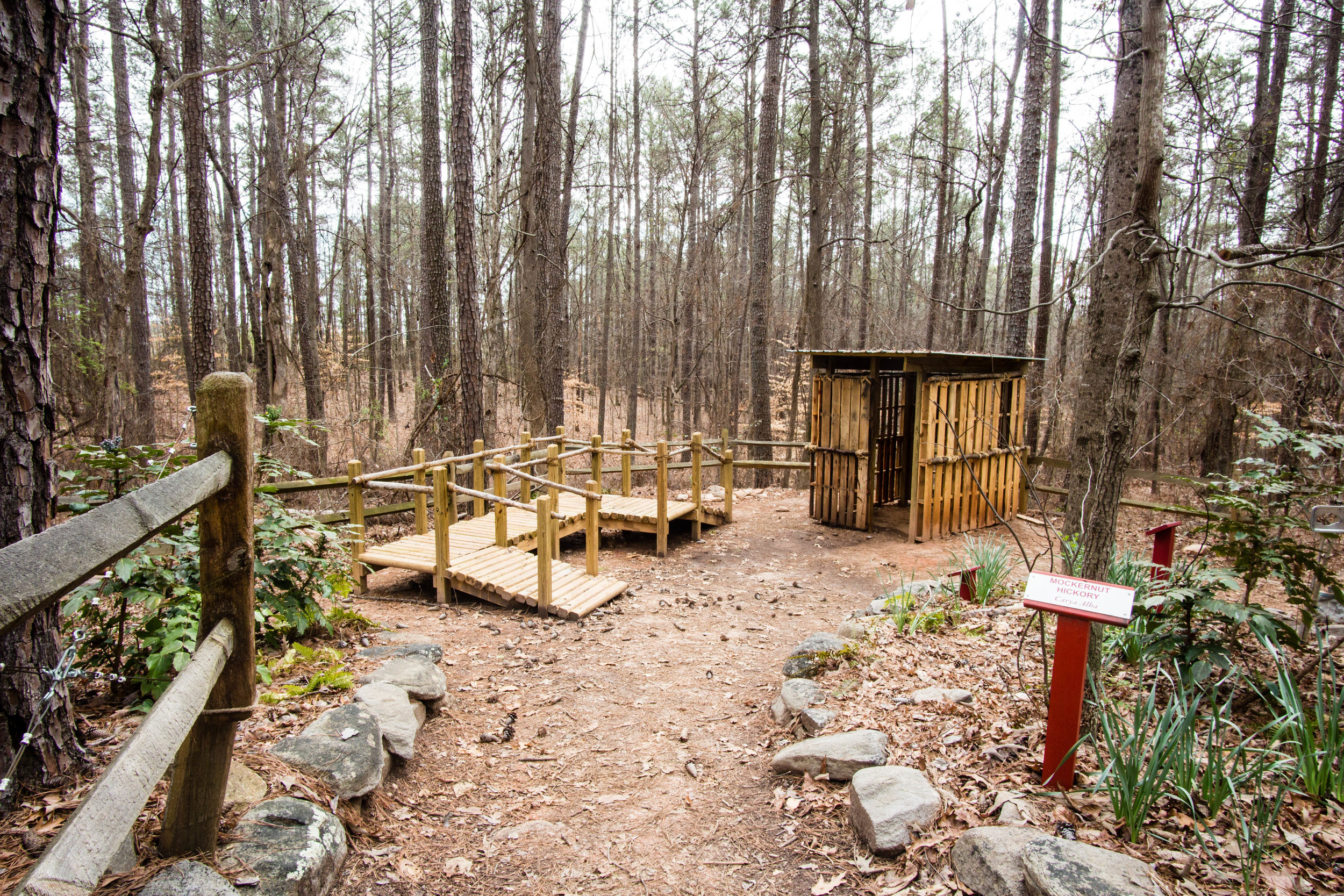
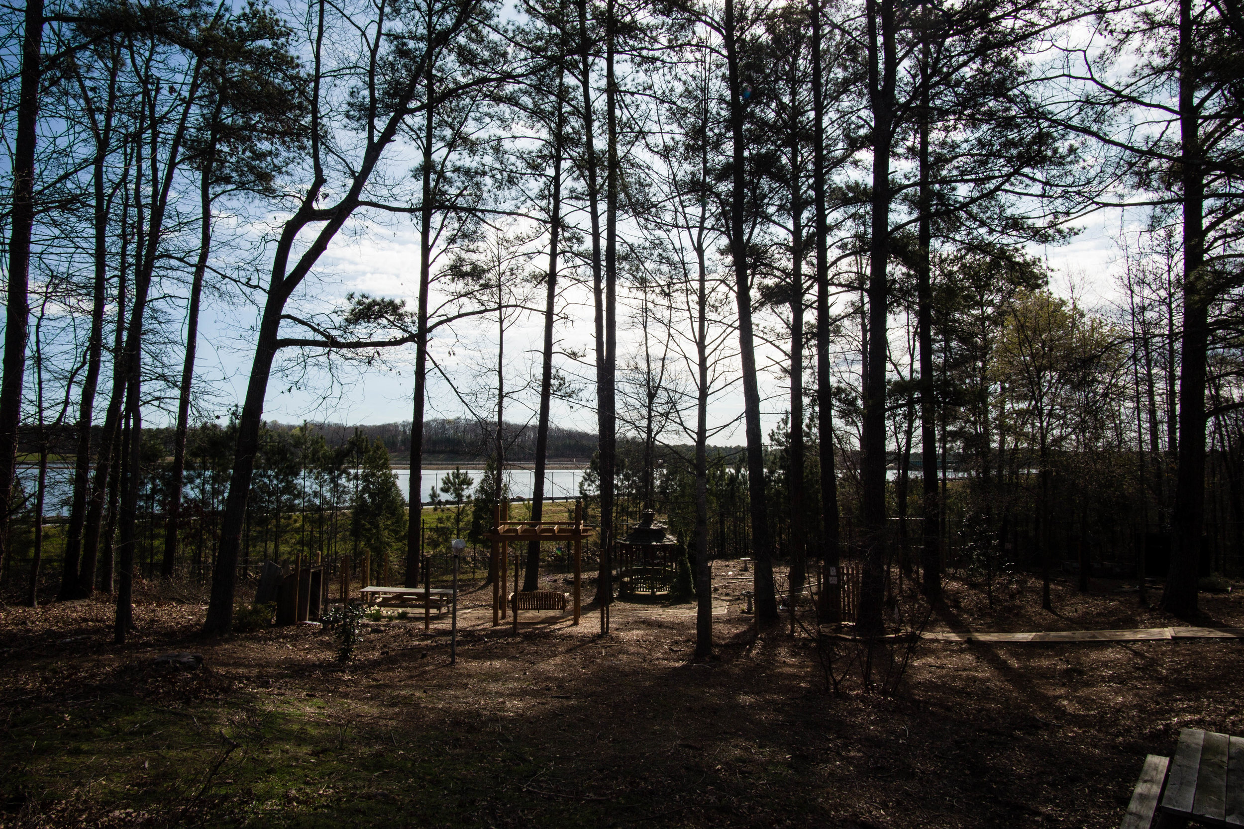
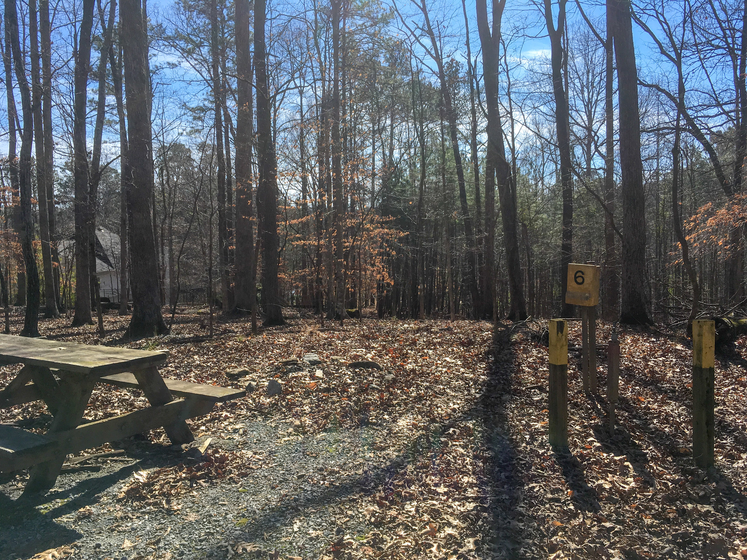
Amenities:
Restrooms
Group camping (by reservation)
Picnic areas
Rentable picnic pavilion
Rentable chapel
Links:
Note: The creeks on Google Maps and Openstreetmap seem to be slightly off. In the map below, I’ve attempted to include more accurate placements of the creeks. I think there may be some trail segments south of the creek, but all the trail segments shown on this map are north of the creek.


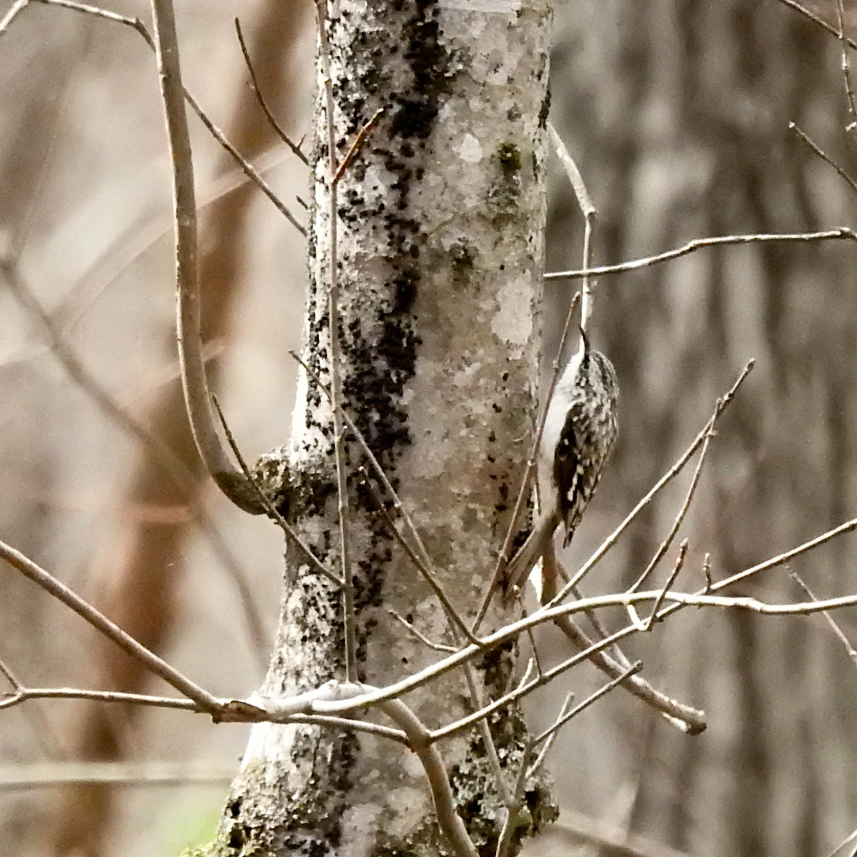
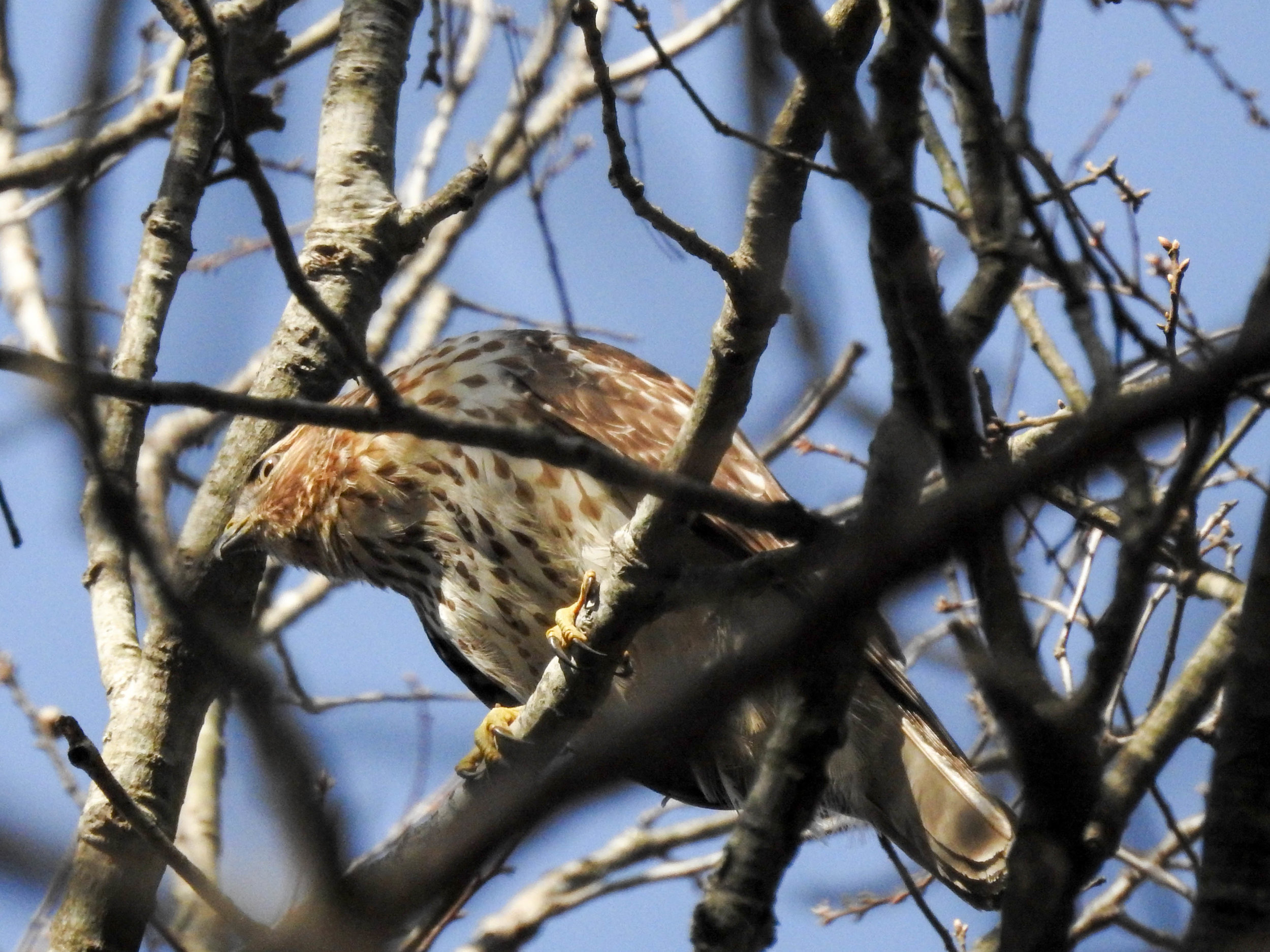
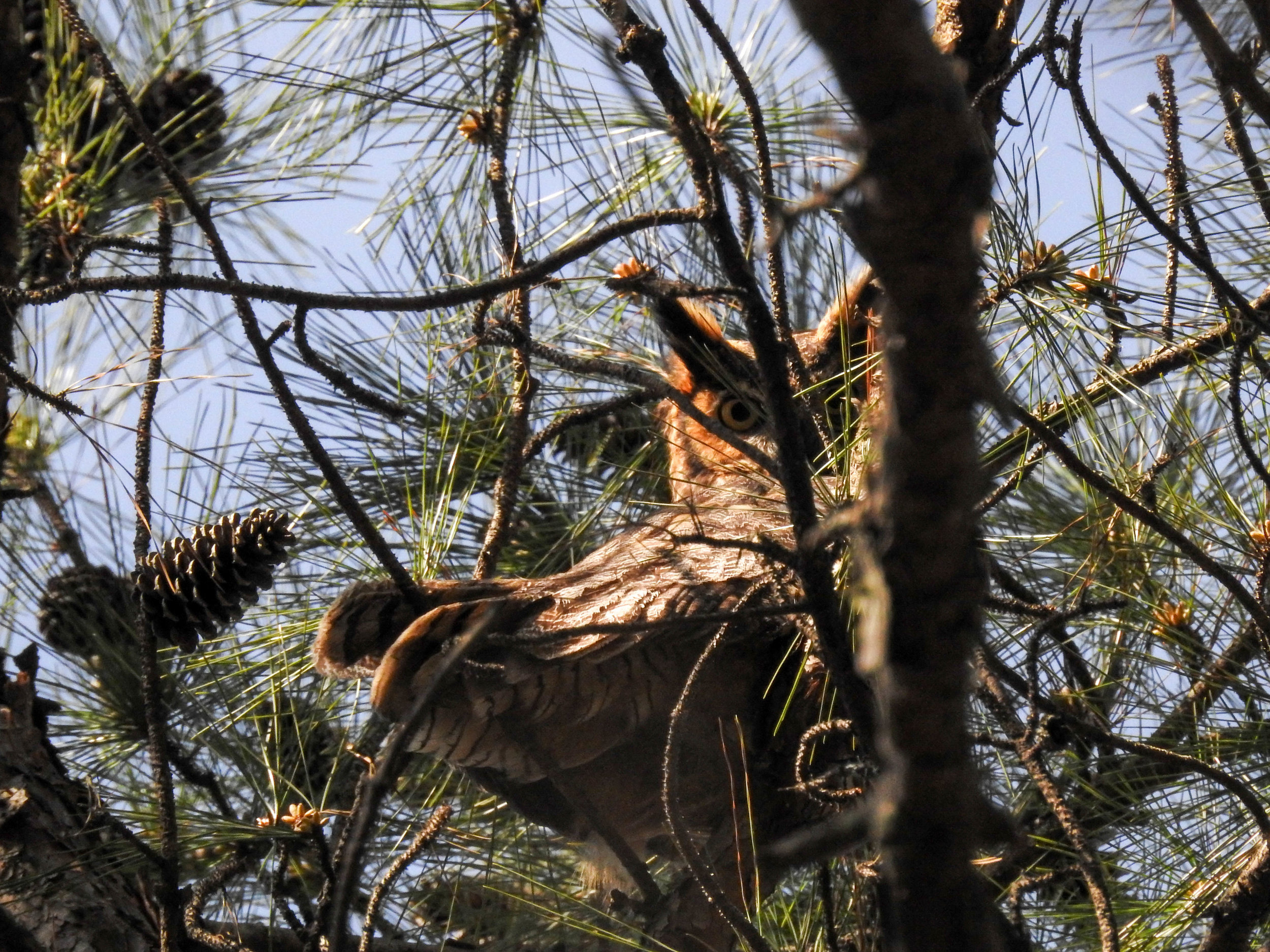
For more photos, see my flickr album.
Good to combine with: