ATLnature

ATLnature is your guide to Atlanta's trails and other rad nature stuff in the city. Live in the city but miss hiking on the weekends? Don’t have time (or a car!) for a trip to north Georgia? Did you know there are over 30 nature trails inside the perimeter of 285 alone?

  • Home
  • Parks
  • Species
  • More
morgan-falls.png

Morgan Falls Overlook Park & Morgan Falls River Park

Morgan Falls Overlook Park
August 28, 2021 by Shawn Taylor in parks

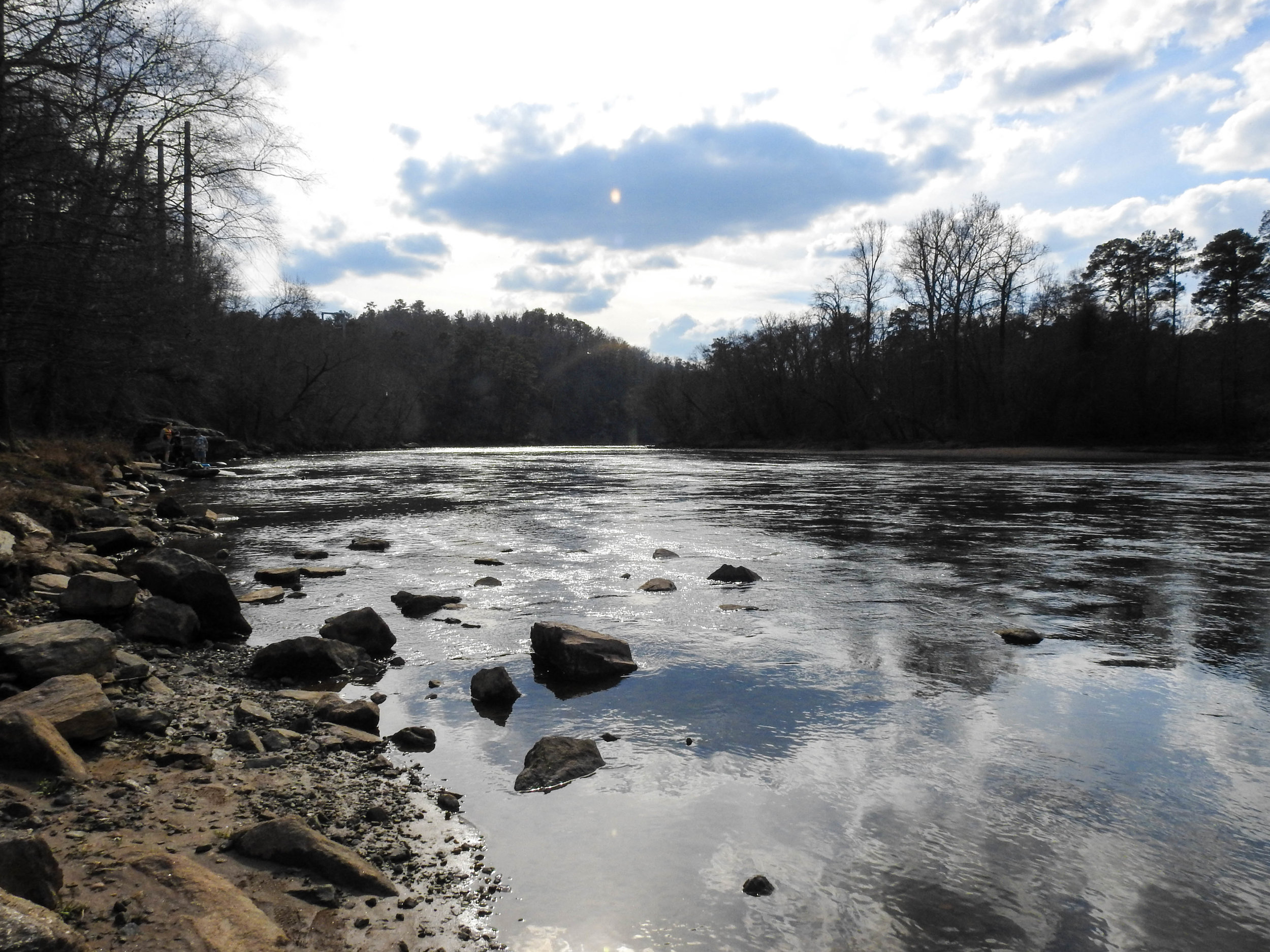
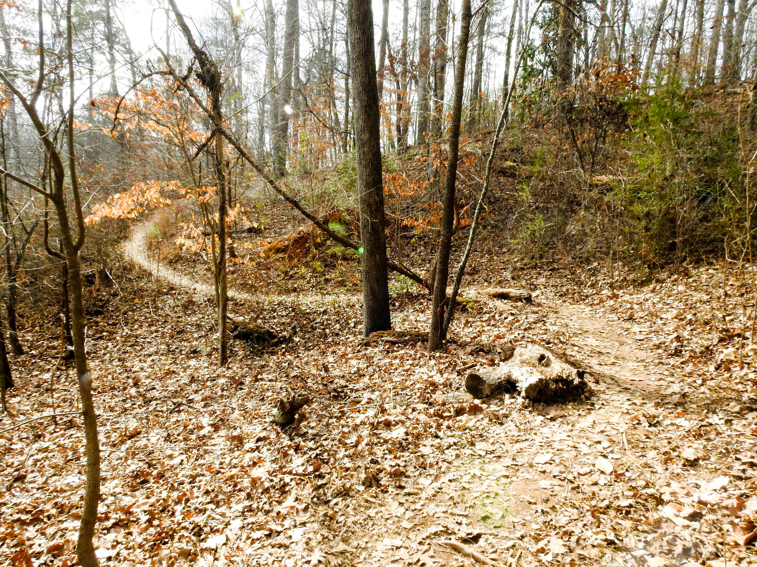
It seems the largest attraction to Morgan Falls Overlook Park is the huge playground. That said, the park has other attractions too, including great views of the river and a short nature trail. The nature trail has two trailheads, one from the west side of the parking lot, and the other at the north end of the pavilion.

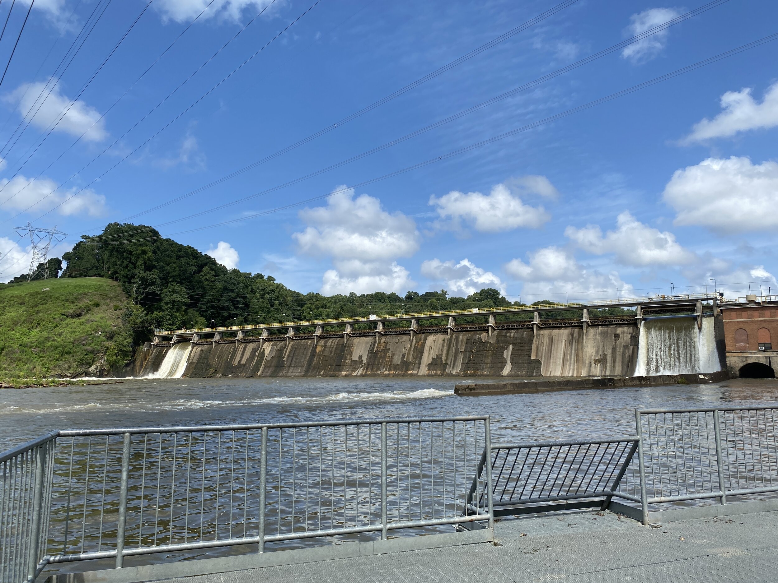
Birders – or those with dogs – will want to walk or drive 1/3 of a mile to Morgan Falls River Park and Dog Park. There are no trails here, but you can walk a bit along the creek and check out the views of the dam and the river.

Fishing seems to be popular in both locations. In Morgan Falls Overlook Park, an unmarked, narrow, ungraded trail runs for about a third of a mile, beginning at the left side of the kayak rental building and continuing along the river's edge. I saw several folks fishing along this trail. I also saw folks fishing at Morgan Falls River Park from the metal observation deck and along the river bank.

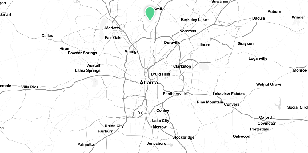
Address: 200 Morgan Falls Rd, Sandy Springs, GA 30350
Cost of admission: Free
Governance: City of Sandy Springs
Acres: 28
Approximate miles of trails: 1
Hours: Sun-up to sun-down
Miles from downtown Atlanta: 17
Transit directions: Take the MARTA 87 bus from Dunwoody Station to Roswell Rd & Morgan Falls Rd, then walk 1.3 miles west on Morgan Falls Rd
Parking: There are free parking lots at both the Overlook Park and the River Park
Trail surface: Natural
Restrooms: Restrooms are available at the Overlook Park
Dogs allowed: Yes, and there is an off-leash dog park at the River Park
Fishing allowed: Yes
Guidebook mentions: Page 74 of Hiking the Hooch (1st edition)

Amenities:

  • Restrooms

  • Bike racks

  • Water fountain (dog & human)

  • Playground

  • Swinging benches

  • Large pavilion

  • Kayak rental (seasonal)

  • Dog park

Links:
Sandy Springs
High Country Paddle Shack

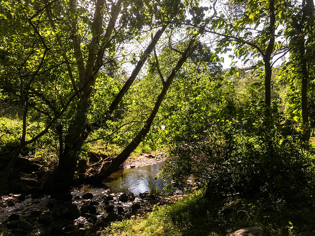
Overlook Park, January 15, 2017

Overlook Park, January 15, 2017

Overlook Park, January 15, 2017

Overlook Park, January 15, 2017

Overlook Park, January 15, 2017

Overlook Park, January 15, 2017

Spotted Pink Ladybeetle, July 11, 2021

Spotted Pink Ladybeetle, July 11, 2021

River Park, January 15, 2017

River Park, January 15, 2017

Powdered Dancer, July 11, 2021

Powdered Dancer, July 11, 2021

Morgan Falls Dam, August 28, 2021

Morgan Falls Dam, August 28, 2021

Overlook Park, January 15, 2017

Overlook Park, January 15, 2017

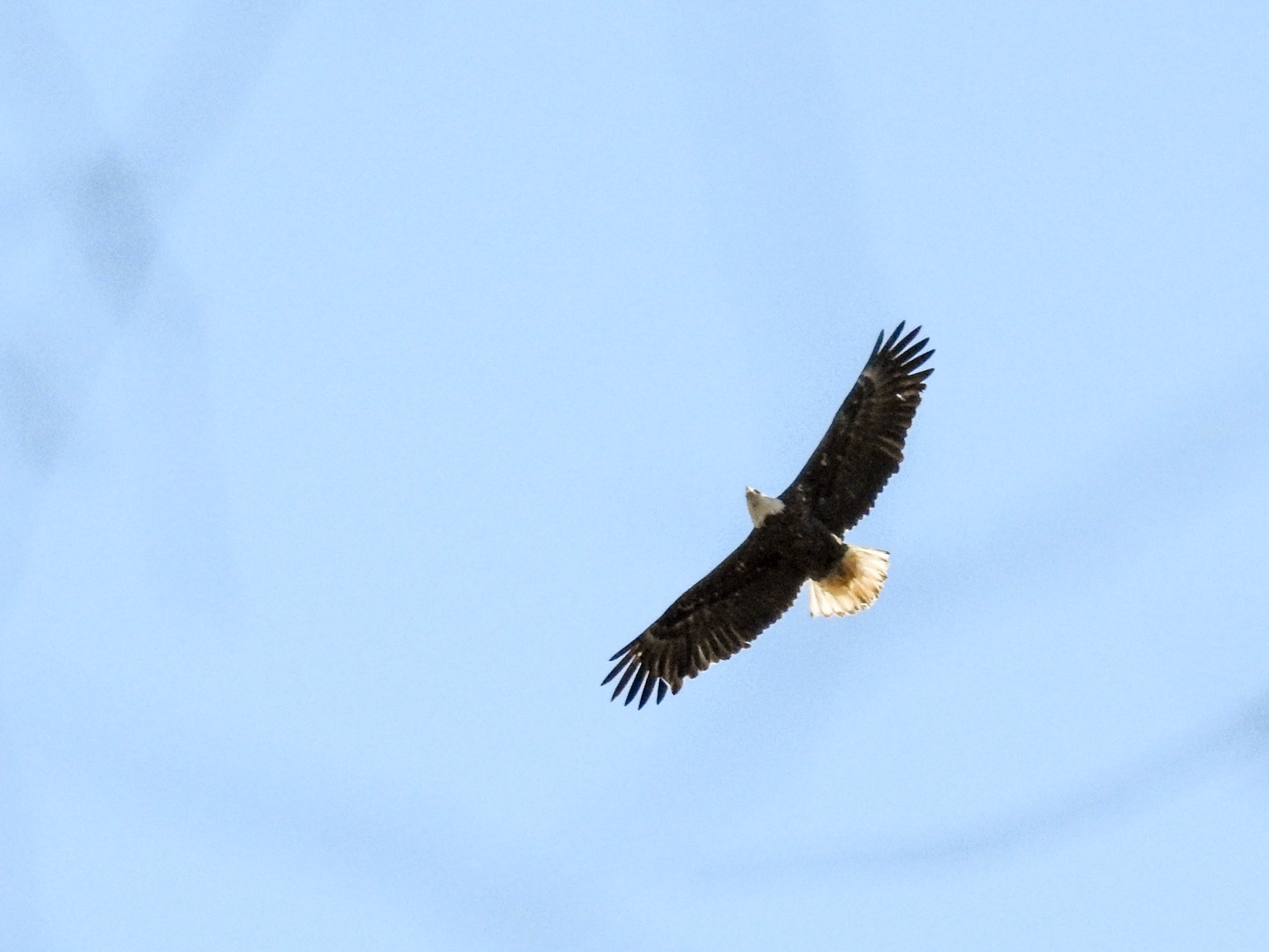
Bald Eagle, River Park, March 4, 2017

Bald Eagle, River Park, March 4, 2017

Great Blue Heron at Morgan Falls Dam, River Park, March 4, 2017

Great Blue Heron at Morgan Falls Dam, River Park, March 4, 2017

 More photos on Flickr:

Morgan Falls - all

Good to combine with:

Featured
John Ripley Forbes Big Trees Forest Preserve
Lost Corner Preserve

Updated January 15, 2017, July 11, 2021, and August 28, 2021

August 28, 2021 /Shawn Taylor
atlanta page 3, free admission, north metro, boat ramp, birding, allows dogs, wetlands, dog park, near: big trees, near: lost corner, near: big trees forest preserve
parks
Comment

Mason Mill/Melton/Medlock Parks

Mason Mill Park
November 02, 2019 by Shawn Taylor in parks

These parks are all linked together by both a paved multi-use trail and by unpaved hiking trails. This is a very popular park, especially on weekends.

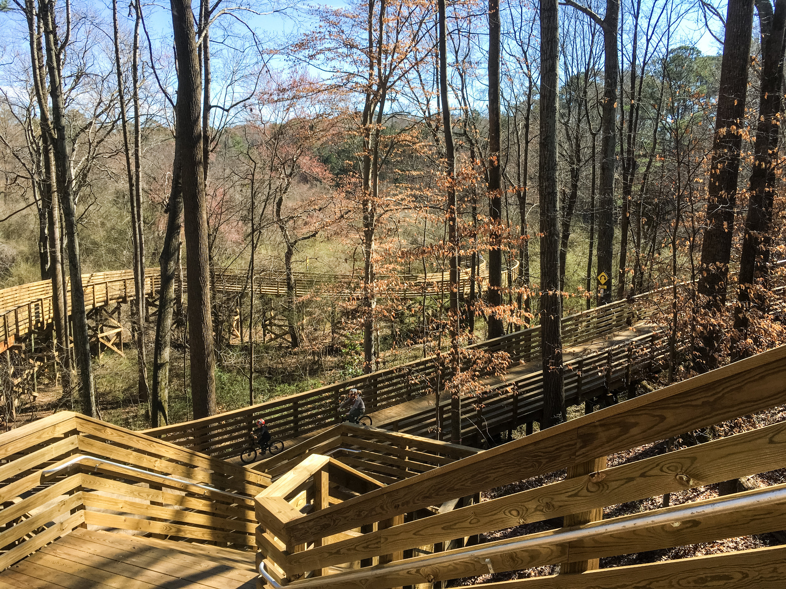
The PATH trail connects Mason Mill Park to Medlock Park. The PATH trail is partly paved and partly boardwalk. It is intended for high volumes of pedestrians and cyclists. A map is available online.
The hills along the PATH route are minimal. The PATH trail has several nice views of South Fork Peachtree Creek from an elevated boardwalk.

On the other hand, the off-road trails have many very steep hills with some tricky footing, often with exposed roots. There are some blazes on the off-road trails: red, blue, and white rectangles painted on trees.

[Edit, November 2019:] The PATH has recently been extended from Mason Mill Park north all the way to N Druid Hills Rd and also west from Melton Park all the way to Emory University. It’s now quite convenient to combine a trip to these parks with Lullwater Preserve.

Finding the primary trailhead: Make a right from N Druid Hills Rd onto Clairmont Rd. Take the second left onto McConnell Dr. A large, free parking lot is available at Mason Mill Park.

Address (approximate): 1340 McConnell Dr., Decatur, GA 30033
Cost of admission: None
Governance: DeKalb County
Acres: 140+
Approximate miles of trails: 4
Hours: PATH: dawn to dusk; parks: 7:00am to sunset
Miles from downtown Atlanta: 5
MARTA directions: Take the 19 bus from Chamblee or Decatur station to Clairmont Rd@McConnell Dr. From there, walk East on McConnell Dr. The PATH trails begin at the end of McConnell Dr., heading north and east.
Cycling directions: My preferred route is to take MARTA or the PATH to Decatur Station. From there, go east on Sycamore St. then left on Sycamore Pl. Take the first right on E Ponce and then the first left on Glendale. Take a slight left to stay on Glendale. At the end of Glendale, take a left on Forkner. Cross Church St. and continue straight(ish) on Medlock. Take Medlock all the way to the end, then turn left on Gaylemont Cir. Once you see Medlock Park, turn left into it.
Parking: Parking is available at Medlock and Mason Mill Parks.
Trail surface: The PATH trail is paved and boardwalk. Other trails are natural surface.
Geocaching: Yes
Guidebook mentions: Chapter 4 in Hiking Atlanta's Hidden Forests

Features:

  • Mason Mill Park

    • Bike racks

    • Playground

    • Multi-use field

    • Recreation center

    • Tennis courts

    • Picnic area

    • Garden

    • Bathroom

    • Dog park (separate from the main park)

  • Medlock Park

    • Baseball and softball fields

    • Playground

    • Swimming pool

    • Picnic area

Links:

  • DeKalb County (includes information about programming available at the parks)

  • PATH Foundation

  • DeKalb County master plan

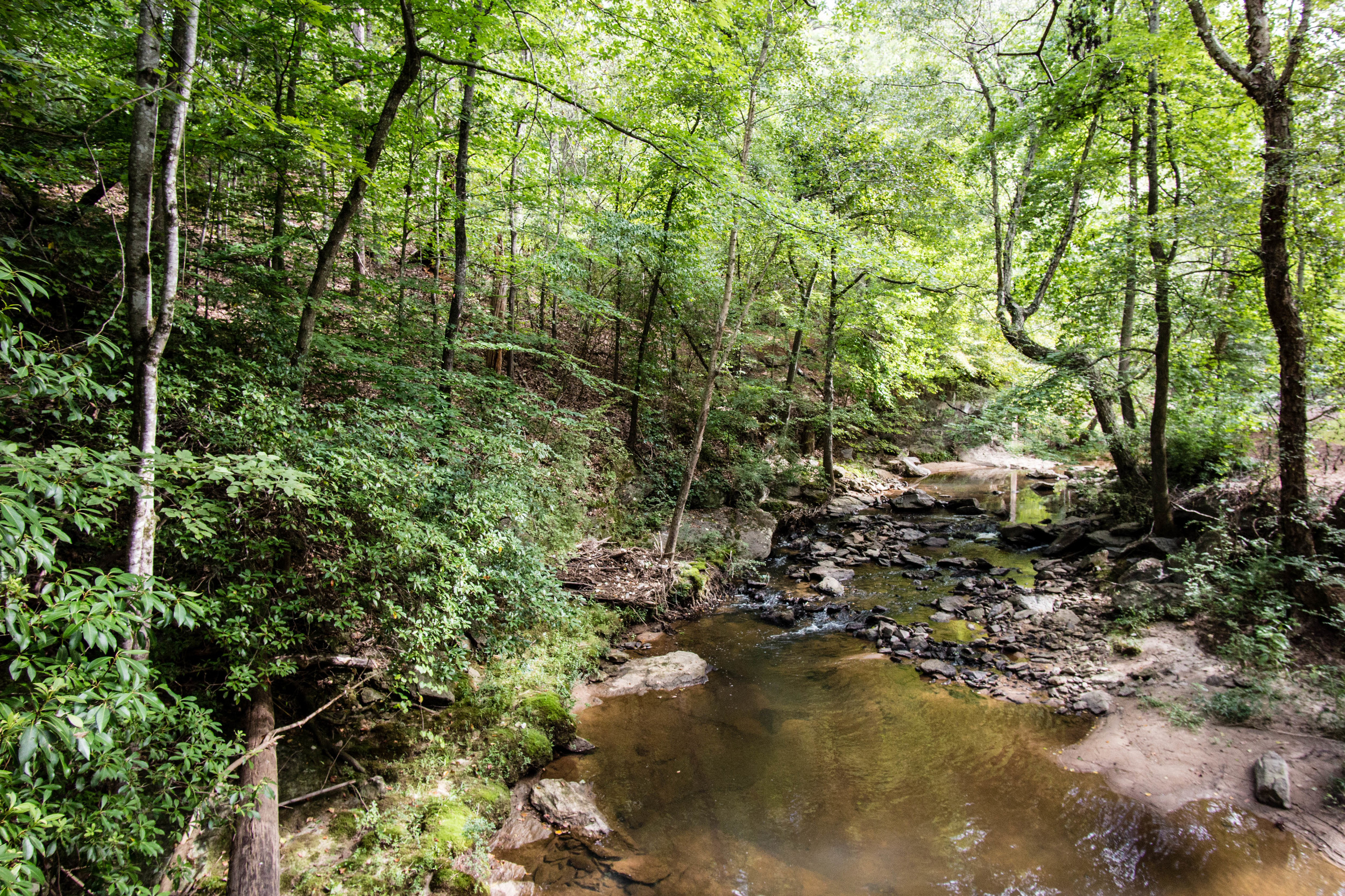
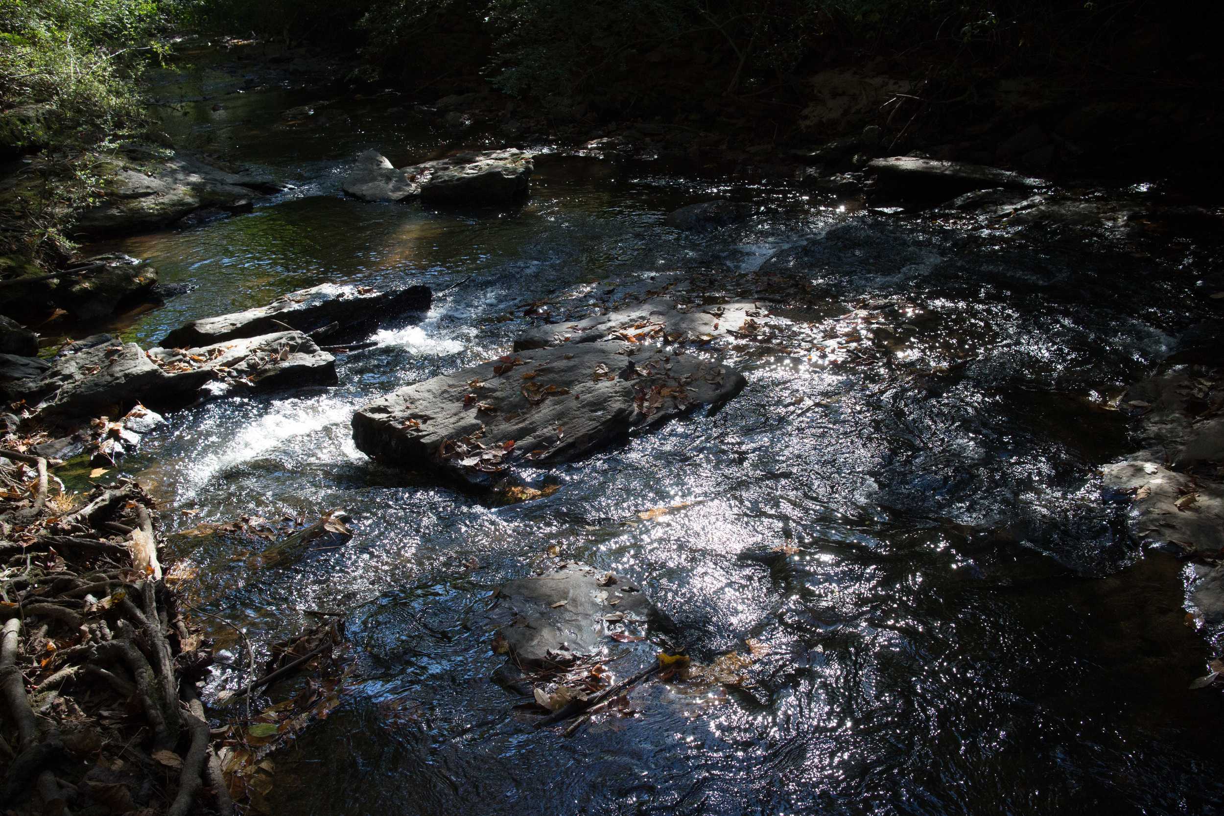
August 13, 2016

August 13, 2016

October 26, 2014

October 26, 2014

October 26, 2014

October 26, 2014

August 13, 2016

August 13, 2016

August 13, 2016

August 13, 2016

August 13, 2016

August 13, 2016

January 17, 2017

January 17, 2017

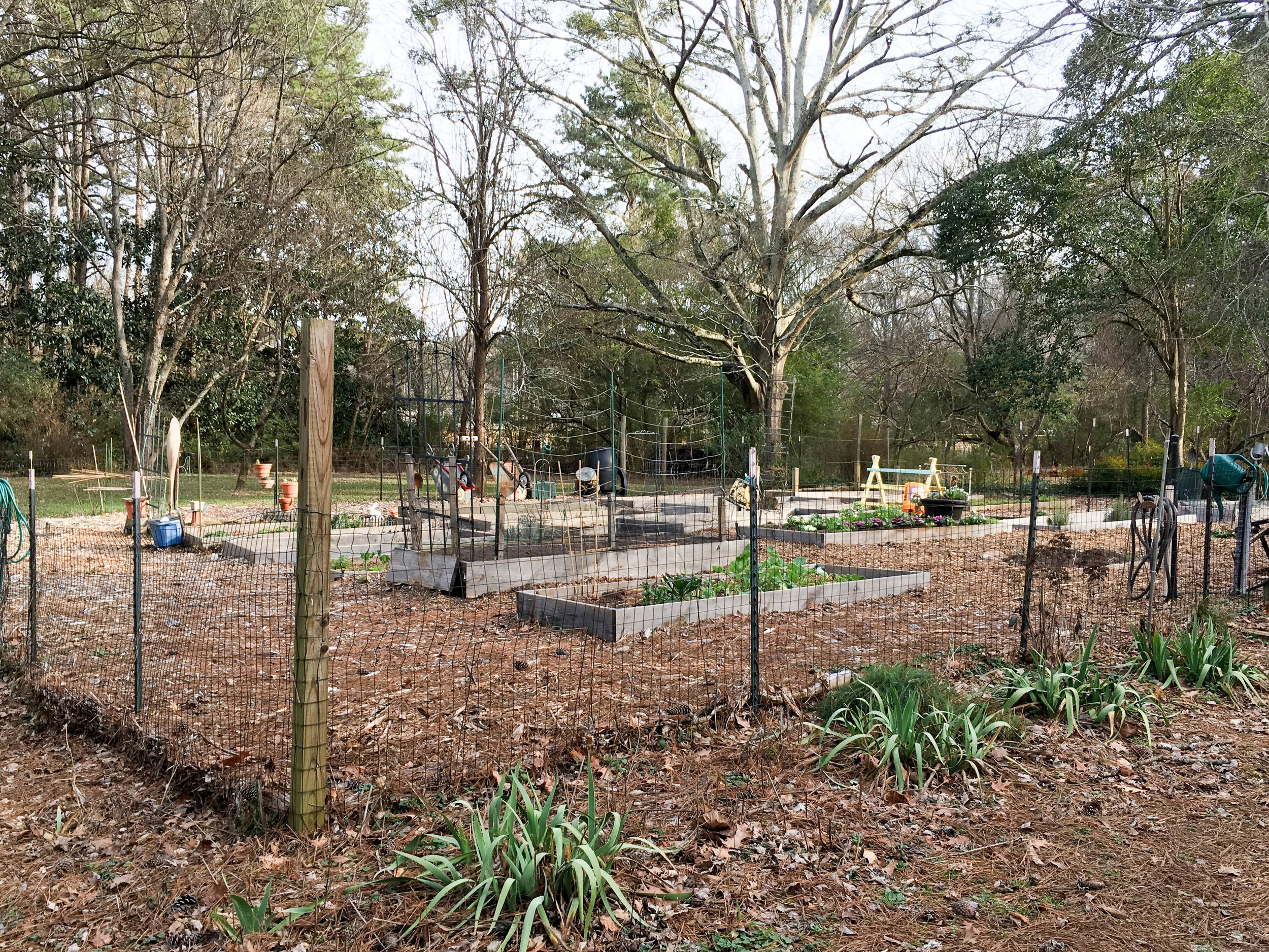
Medlock Park Community Garden, January 17, 2017

Medlock Park Community Garden, January 17, 2017

April 29, 2017

April 29, 2017

February 18, 2018

February 18, 2018

November 2, 2019

November 2, 2019


Good to combine with:

Featured
Lullwater Preserve and Hahn Woods
Kittredge Park
Kittredge Park
W.D. Thomson Park
W.D. Thomson Park
Clyde Shepherd Nature Preserve

Updated August 2, 2016, January 17, 2017, April 29, 2017, February 18, 2018, & November 2, 2019

November 02, 2019 /Shawn Taylor
atlanta page 2, multi-use path, free admission, itp, near downtown-5 miles, 3+ miles of trails, near bus-5 min page 2, near: kittredge park, near: lullwater preserve, dog park
parks
Comment
mcdaniel-farm-park.png

McDaniel Farm Park

McDaniel Farm Park
November 12, 2018 by Shawn Taylor in parks

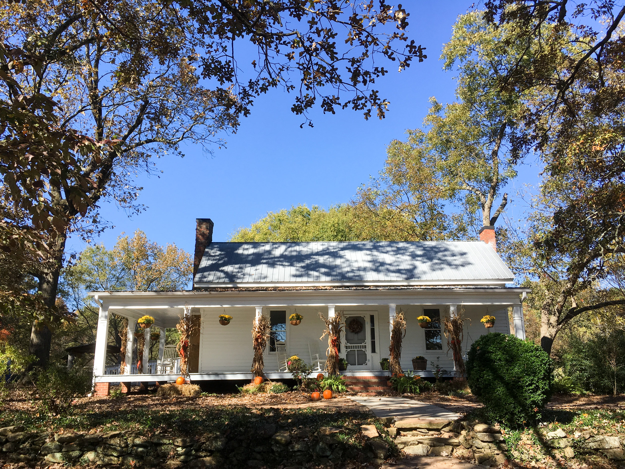
McDaniel Farm Park was sold in the 1820 land lottery. It was a subsistence farm and was farmed until 1999. The farm buildings represent a typical farm from the 1930s.

This park is a popular spot with photographers for engagement and family photos. Information about commercial photography is available here.

Address: 3251 McDaniel Rd, Duluth, GA 30096
Cost of admission: None
Governance: Gwinnett County
Acres: 134
Approximate miles of trails: 3 miles paved, 1 mile unpaved
Hours: The park is open dawn to dusk daily; the farm area is open 10-4 daily
Miles from downtown Atlanta: 21
Transit directions: From Doraville Station, take the Gwinnett County Transit bus 10A or 10B to the Gwinnett Transit Center. From there, it is a 12-minute walk to the park. From the transit center, head right on Satellite Blvd. Head left on Old Norcross Road. Then take a right on McDaniel Road and continue to the end of the road. There are sidewalks the whole way.
If you have a Breeze card, you can add cash to it for your trips there and back, or use GCT (but not MARTA) “trips” on the card. Fare information is available here. The 10A and 10B are considered “local” rides.
Trailhead(s): There are multiple trailheads at each of the two parking lots. On both ends of the parks, McDaniel Rd dead-ends at the park. The south parking lot is at 3251 McDaniel Rd (coming from Old Norcross Rd), and the north parking lot is at 3020 McDaniel Rd (coming from Duluth Hwy).
Parking is available at both parking lots, including accessible parking and bike racks at both. Bus parking is also available at the south parking lot.
Trail surface: Approximately 3 miles paved, approximately 1 mile natural, and approximately 0.5 miles gravel
Geocaching: Yes
Dogs allowed: Yes
Fishing allowed: Yes
Guidebook mentions: Chapter 49 in Hiking Atlanta's Hidden Forests (1st edition) and chapter 42 in 60 Hikes Within 60 Miles (3rd edition)

Amenities:

  • Two rentable picnic pavilions and assorted other picnic tables

  • Restrooms and water fountains at both the north and south end of the park

  • Small and large dog parks

  • Playground

Nearby amenities/conveniences:

  • Gwinnett Place Mall is nearby

Links:

  • Gwinnett County

November 10, 2018

November 10, 2018

November 10, 2018

November 10, 2018

November 10, 2018

November 10, 2018

November 10, 2018

November 10, 2018

November 10, 2018

November 10, 2018

November 10, 2018

November 10, 2018

For more photos, see my flickr album.


From around the web

Recent iNaturalist observations

iNaturalist.org
View more observations near McDaniel Farm Park on iNaturalist.org »

Random eBird sightings from the last 30 days


Good to combine with:

Featured
Shorty Howell Park
Shorty Howell Park
Chattahoochee River National Recreation Area: Medlock Bridge
Autrey Mill Nature Preserve
November 12, 2018 /Shawn Taylor
atlanta page 4, near: medlock bridge, near: autrey mill, multi-use path, free admission, north metro, allows dogs, dog park, 3+ miles of trails, near: shorty howell
parks
Comment
brook-run.png

Brook Run

Brook Run Park
January 07, 2018 by Shawn Taylor in parks

Address: 4770 North Peachtree Road, Dunwoody, GA 30338
Cost of admission: Free
Governance: Dunwoody
Acres: 102
Approximate miles of trails: 2 miles multi-use path, 2 miles nature trails
Hours: Sunrise to sunset
Miles from downtown Atlanta: 15
MARTA directions: Take a gold line train to Chamblee. From there, take the 103 bus to Peeler Rd@Cherring Ln or take the 132 bus to N Peachtree Rd @ Barclay Dr
Parking: Plenty of parking is available at the park
Trail surface: Some concrete multi-use path, some paved nature trail, some natural surface

Amenities:

  • Dog park

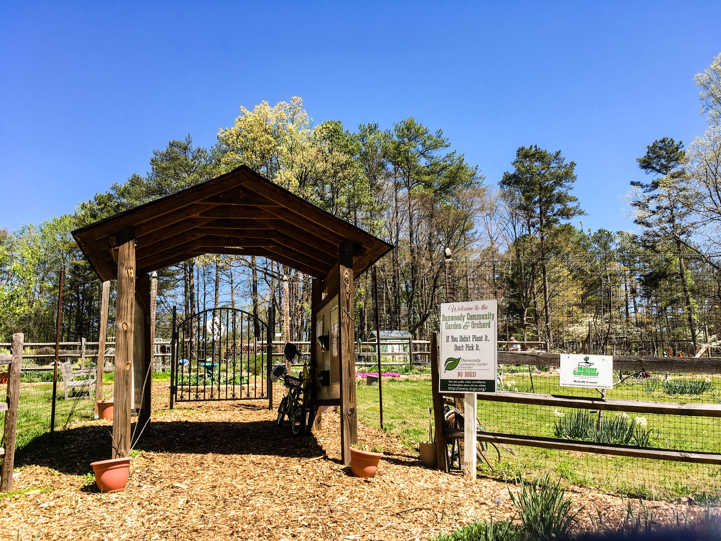
  • Community garden

  • Skate park

  • Zip line "Treetop Quest"

  • Playground

  • Veterans Memorial

  • Bike rack & fix-it station

  • Restrooms & water fountains

Links:
Brook Run Park
Brook Run Dog Park


History

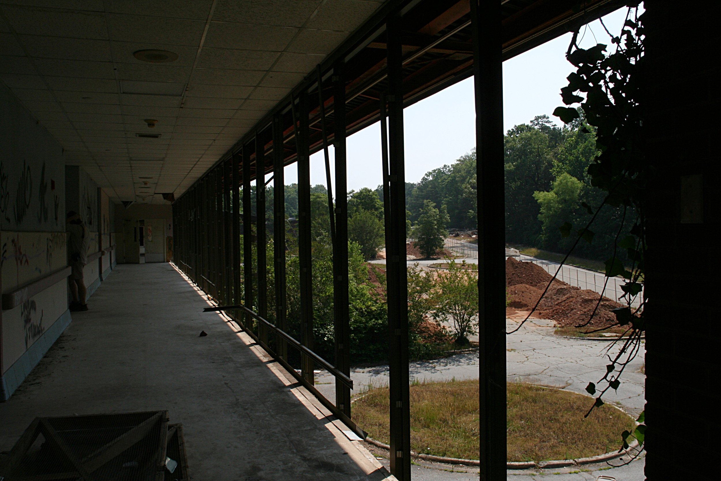
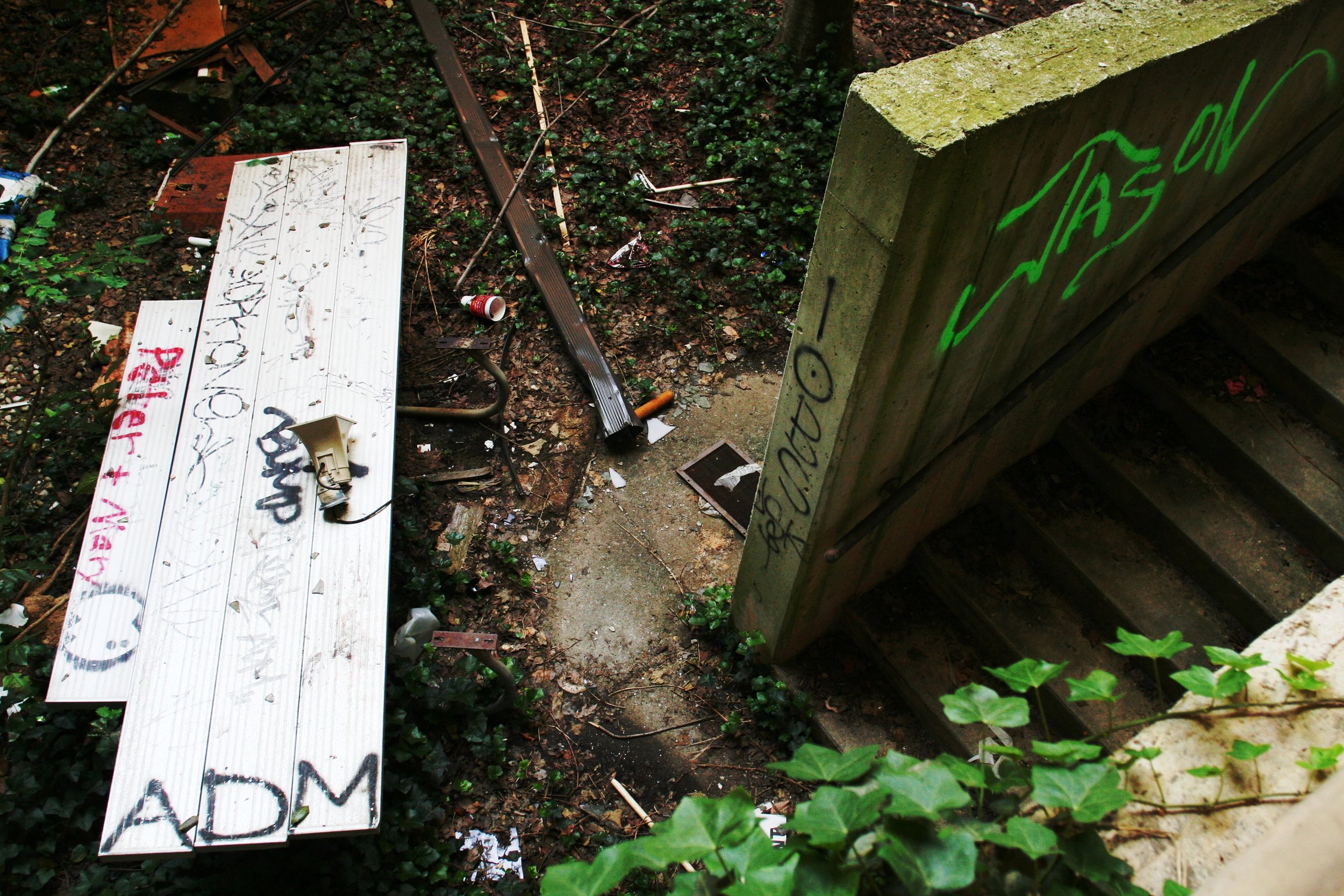
Before Brook Run became a park, this land was home to the Georgia Retardation Center for 30 years. A description of the facility's history can be found on Burnaway. The main buildings have been torn down.

Here are some photos I took in 2007 when the site was vacant, but before the buildings were torn down.

June 10, 2007
June 10, 2007
June 10, 2007
June 10, 2007
June 10, 2007
June 10, 2007
June 10, 2007
June 10, 2007
June 10, 2007
June 10, 2007
June 10, 2007
June 10, 2007
brook-run_543311576_o.jpg
June 10, 2007
June 10, 2007
June 10, 2007
June 10, 2007
June 10, 2007
June 10, 2007
June 10, 2007
June 10, 2007
June 10, 2007
June 10, 2007
June 10, 2007
June 10, 2007
June 10, 2007
June 10, 2007
June 10, 2007
June 10, 2007
June 10, 2007 June 10, 2007 June 10, 2007 June 10, 2007 June 10, 2007 June 10, 2007 brook-run_543311576_o.jpg June 10, 2007 June 10, 2007 June 10, 2007 June 10, 2007 June 10, 2007 June 10, 2007 June 10, 2007 June 10, 2007

Today

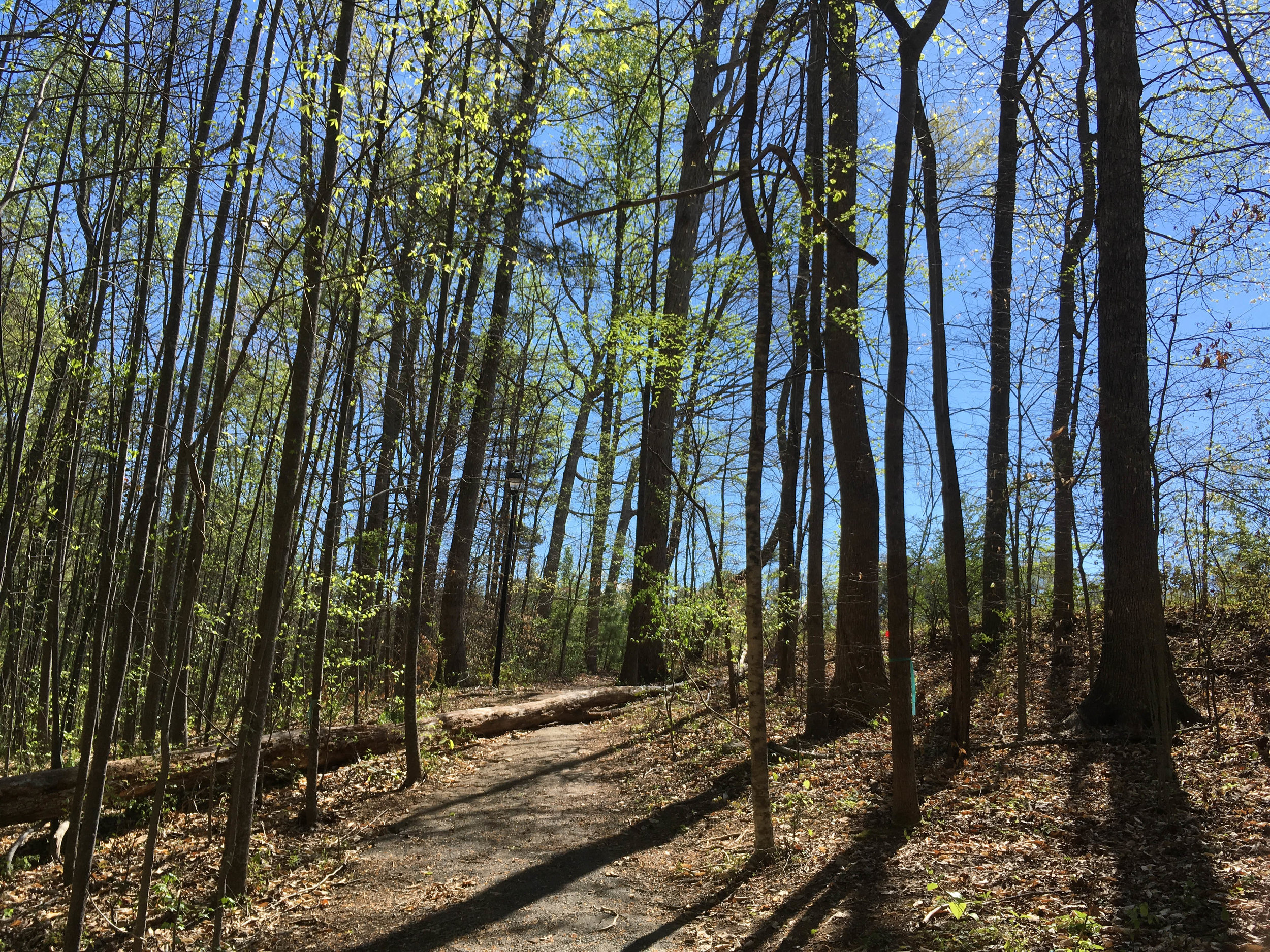
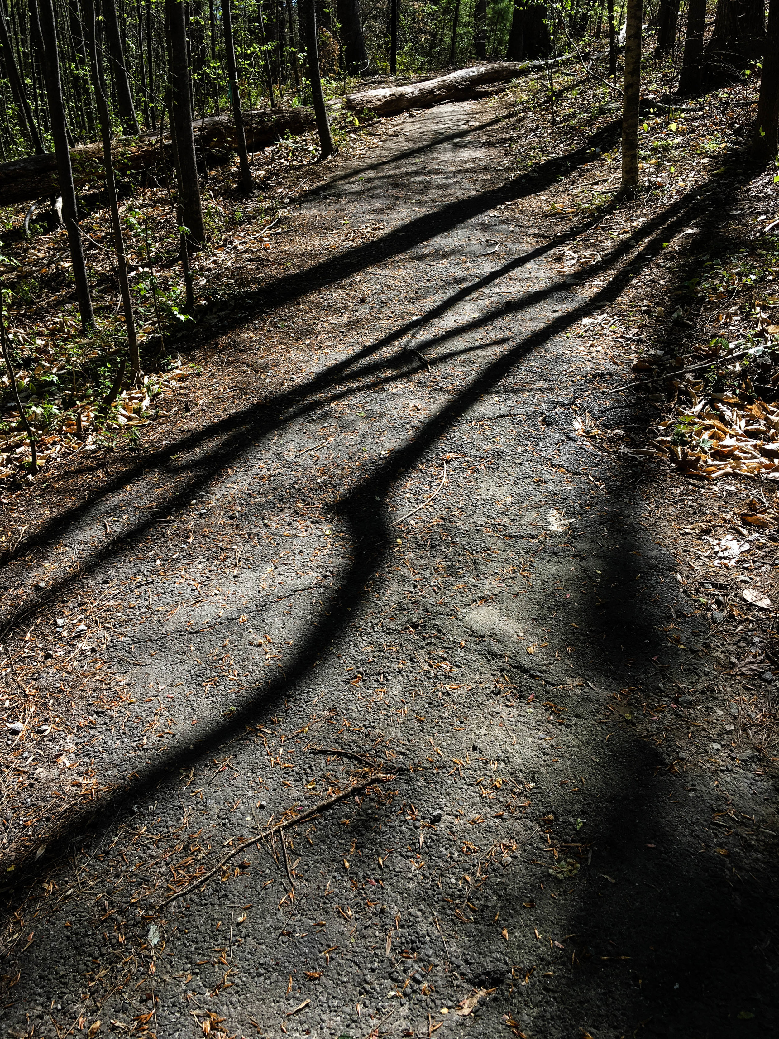
April 2, 2017
April 2, 2017
April 2, 2017
April 2, 2017
April 2, 2017
April 2, 2017
April 2, 2017
April 2, 2017
April 2, 2017
April 2, 2017
April 2, 2017
April 2, 2017
April 2, 2017
April 2, 2017
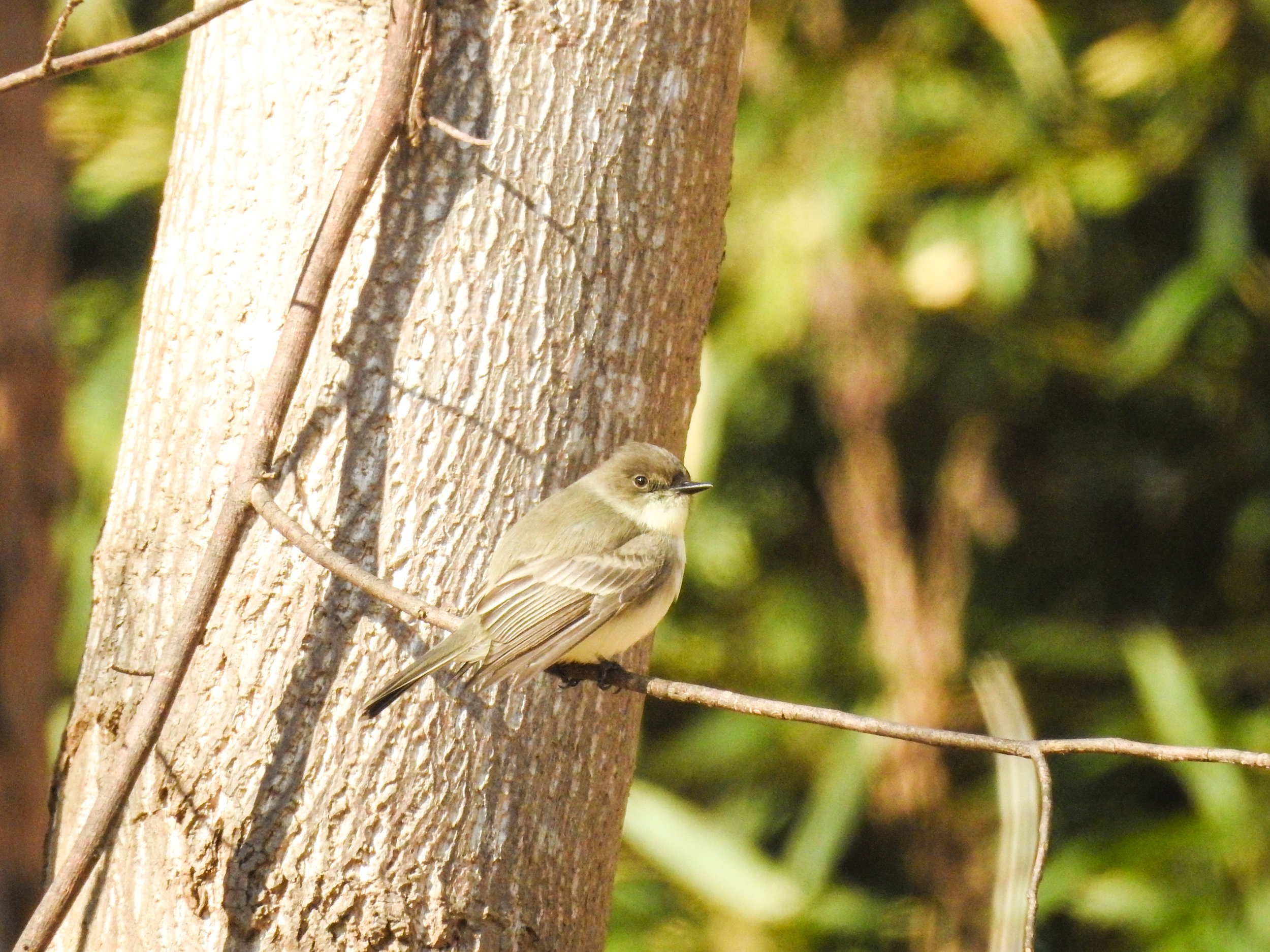
Eastern Phoebe, January 7, 2018
January 7, 2018
January 7, 2018
Frozen creek, January 7, 2018
January 7, 2018
January 7, 2018
April 2, 2017 April 2, 2017 April 2, 2017 April 2, 2017 April 2, 2017 April 2, 2017 April 2, 2017 Eastern Phoebe, January 7, 2018 January 7, 2018 Frozen creek, January 7, 2018 January 7, 2018

Good to combine with:

  • Murphey-Candler Park

  • Dunwoody Nature Center


Updated April 9, 2017 & January 7, 2018

January 07, 2018 /Shawn Taylor
atlanta page 3, near bus-5 min, multi-use path, free admission, north metro, dog park, near: murphey candler
parks
1 Comment

Piedmont Park

Piedmont Park
October 21, 2017 by Shawn Taylor in parks

Piedmont Park is a large, heavily-used neighborhood park in Midtown Atlanta. Piedmont Park was home to the Piedmont Exposition in 1887 and the Cotton States and International Exposition in 1895. In the early 20th century, the park was redesigned by the sons of Frederick Law Olmsted.

As well as the many paved trails and greenspace areas, there are also some wooded, natural (or boardwalk)-surface trails in the park. Those trails can be found in the areas of this map marked "The Northwoods" and "Six Springs Wetlands". Also, part of the path around Lake Clara Meer is not paved.

Another place to check out is the demonstration orchard and apiary. Those can be found just south of the dog parks.

Address (approximate): 1084 Piedmont Ave NE, Atlanta, GA 30309
Admission: Free. Paid parking is available at the Botanical Garden located within the park.
Acres: 185
Approximate miles of trails: 1 mile of natural-surface or boardwalk trails + 3 miles of paved trails
Hours: Park hours: 6:00am to 11:00pm // Northwoods and Six Springs Wetlands hours: 6:00am to sunset
Miles from downtown Atlanta: 2

Features:

  • Restrooms

  • Water fountains

  • Apiary

  • Demonstration orchard

Links:
Piedmont Park Conservancy
Park map

October 1, 2016

October 1, 2016

December 1, 2016

December 1, 2016

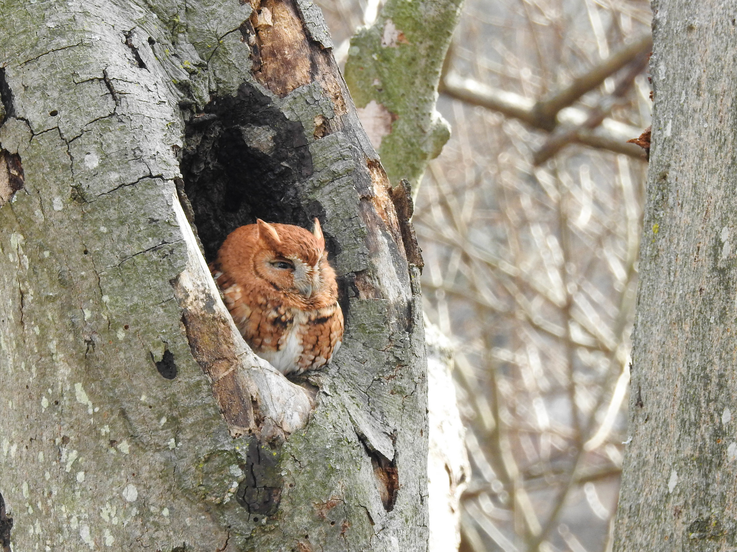
Eastern Screech-Owl, January 14, 2017

Eastern Screech-Owl, January 14, 2017

October 1, 2016

October 1, 2016

October 1, 2016

October 1, 2016

October 1, 2016

October 1, 2016

January 7, 2017

January 7, 2017

January 7, 2017

January 7, 2017

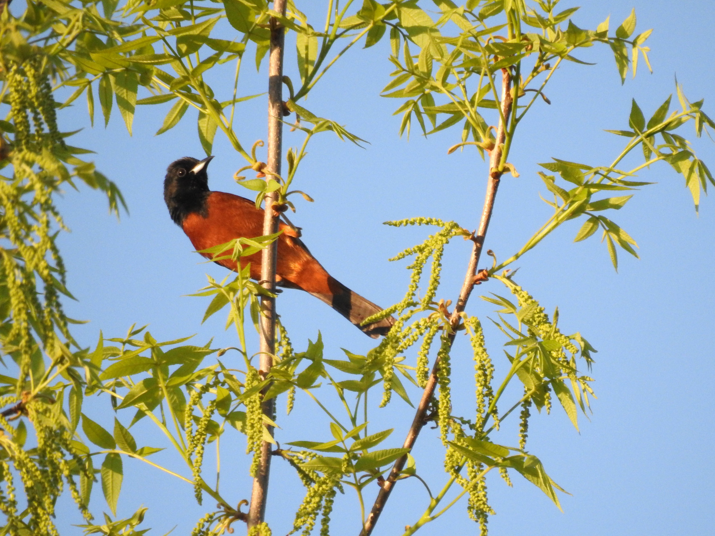
Orchard Oriole, April 22, 2017

Orchard Oriole, April 22, 2017

October 19, 2017

October 19, 2017

For more photos, see my flickr album.

Good to combine with:

  • Morningside Nature Preserve

  • Tanyard Creek Park

  • BeltLine Interim Hiking Trail: Eastside Trail Northern Extension


Featured
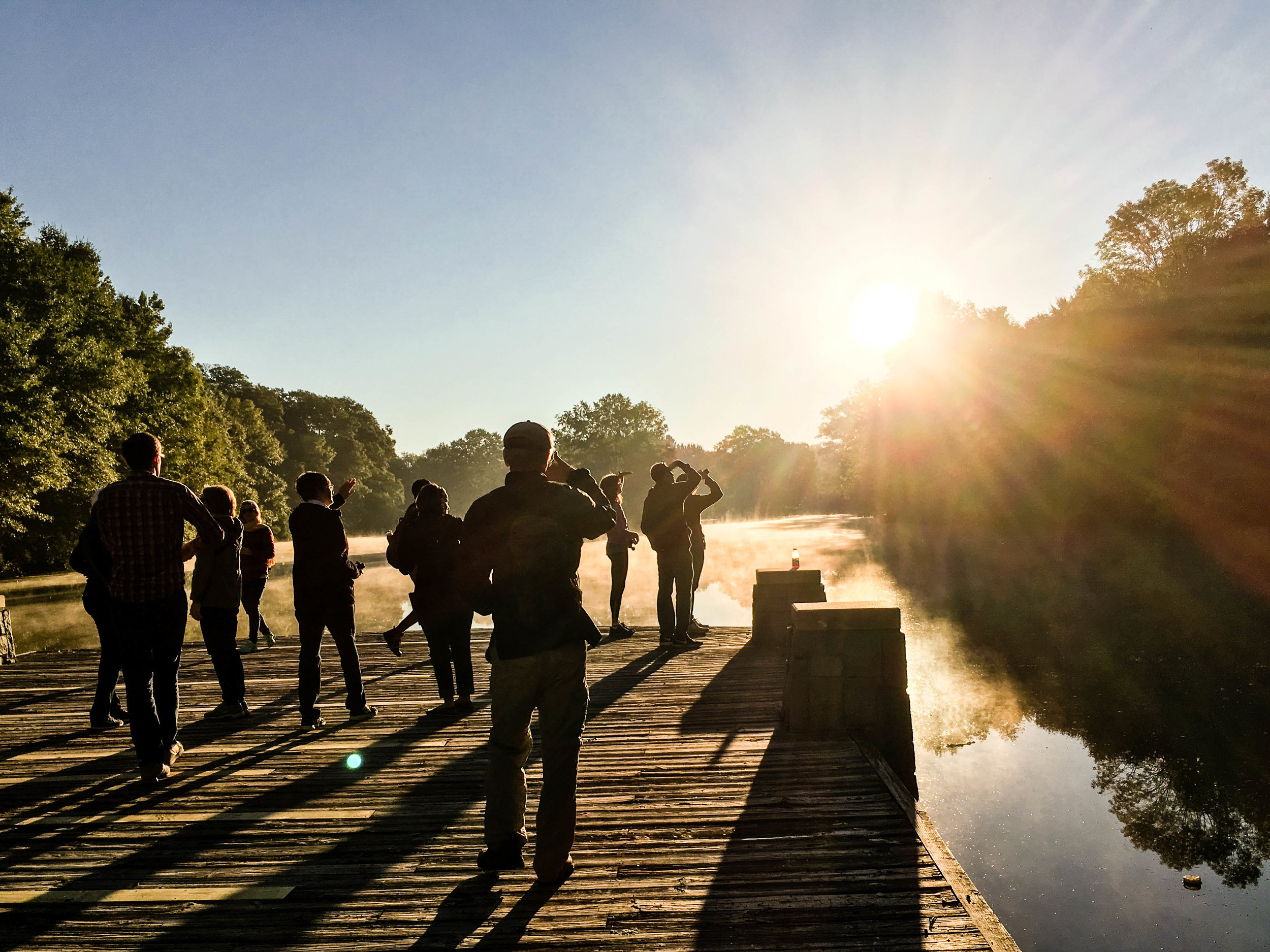
Bike-N-Bird: Piedmont Park, October 1, 2016
Oct 3, 2016
Bike-N-Bird: Piedmont Park, October 1, 2016
Oct 3, 2016
Oct 3, 2016

Updated August 4, October 3, December 1, and December 30, 2016; January 7, January 28, April 22, May 1, October 19, & October 21, 2017

October 21, 2017 /Shawn Taylor
atlanta page 2, near bus-5 min, multi-use path, free admission, itp, near downtown-5 miles, allows dogs, dog park, 3+ miles of trails, birding
parks
Comment