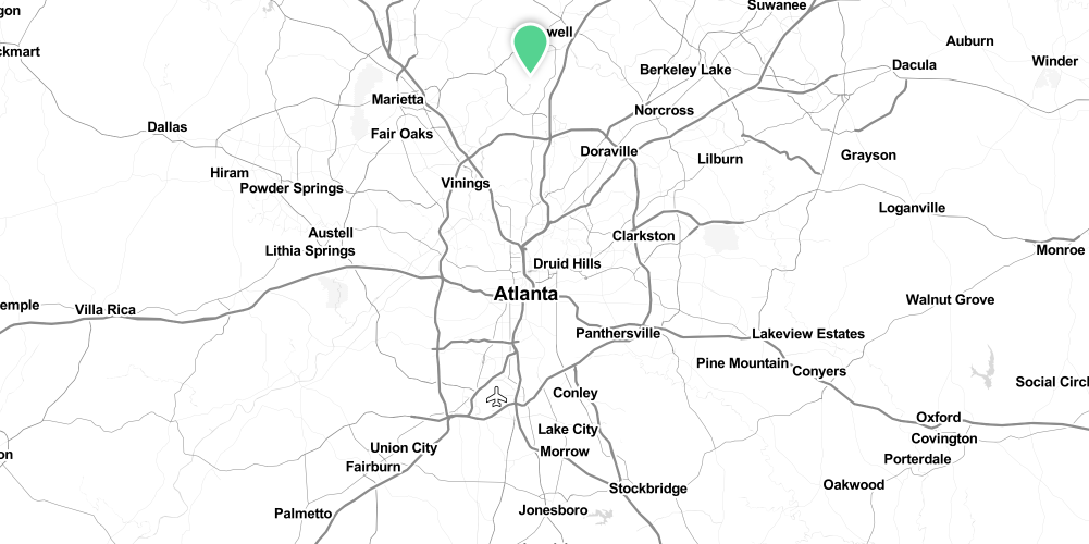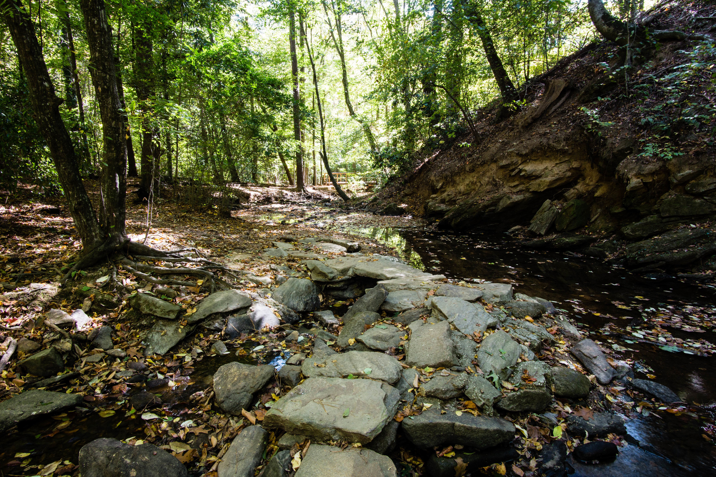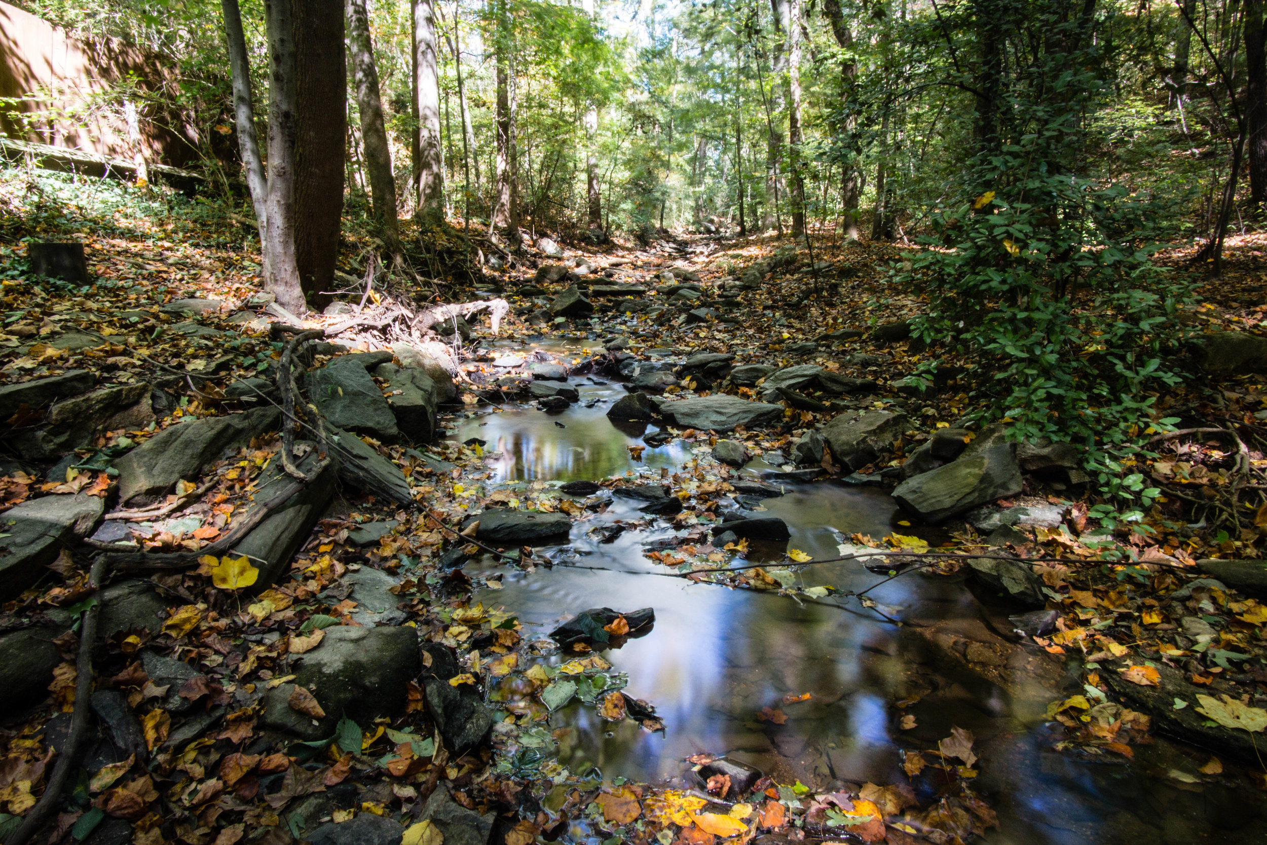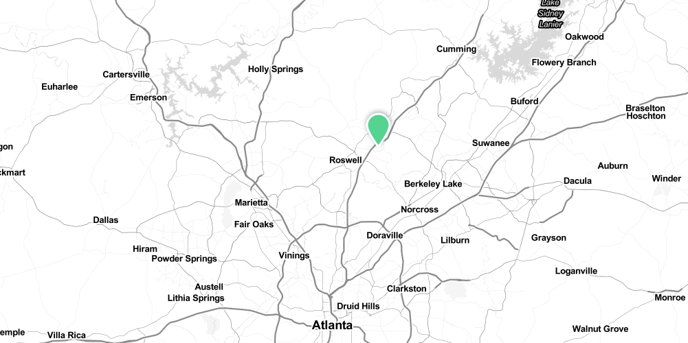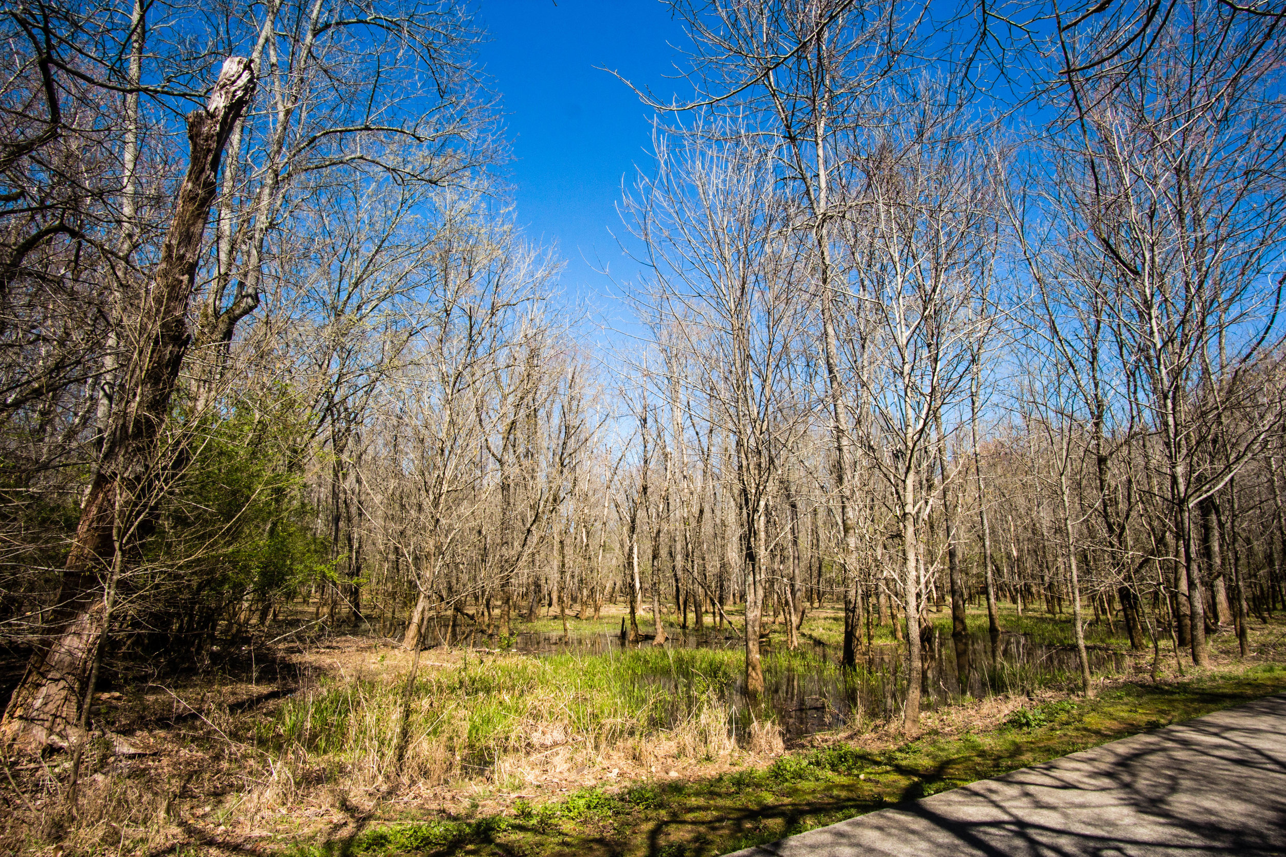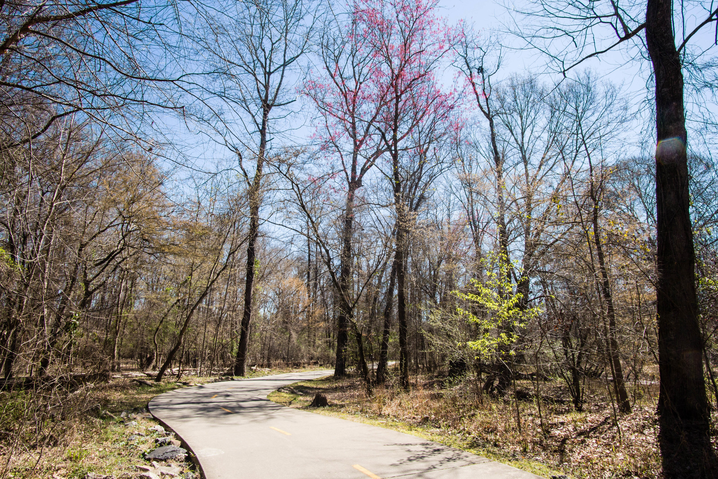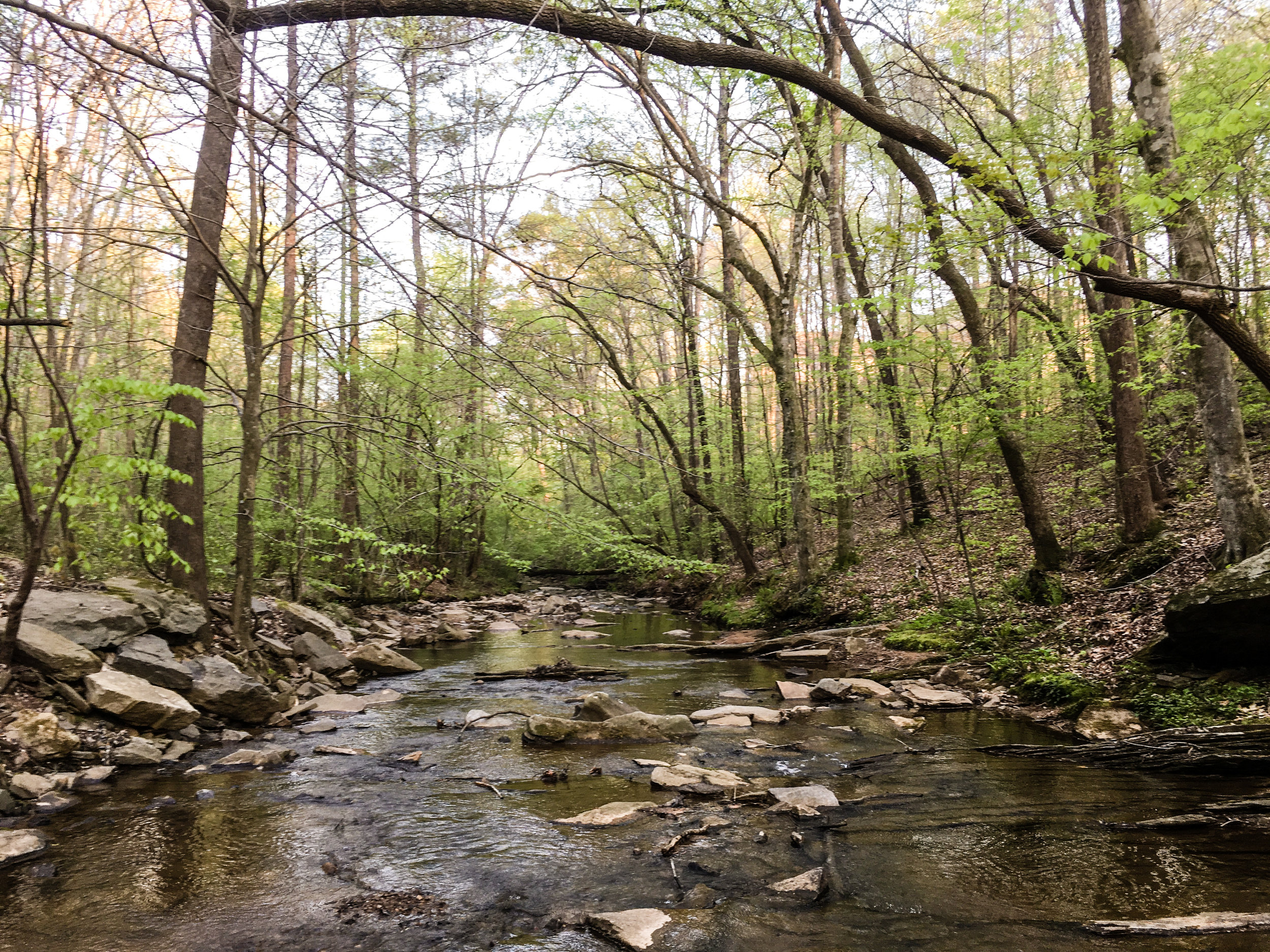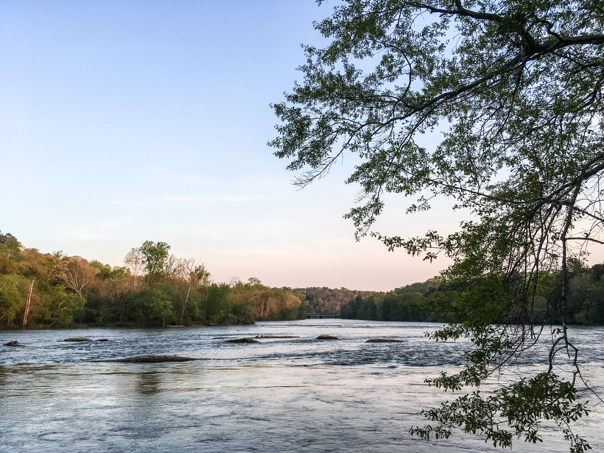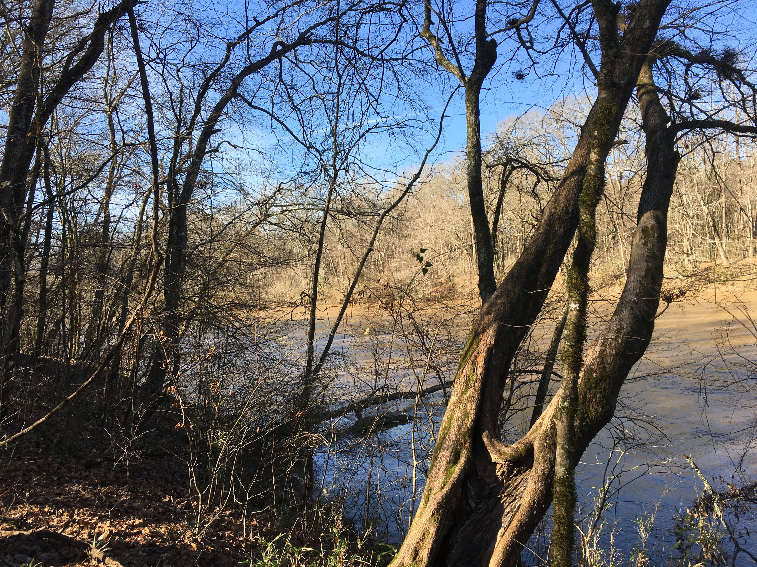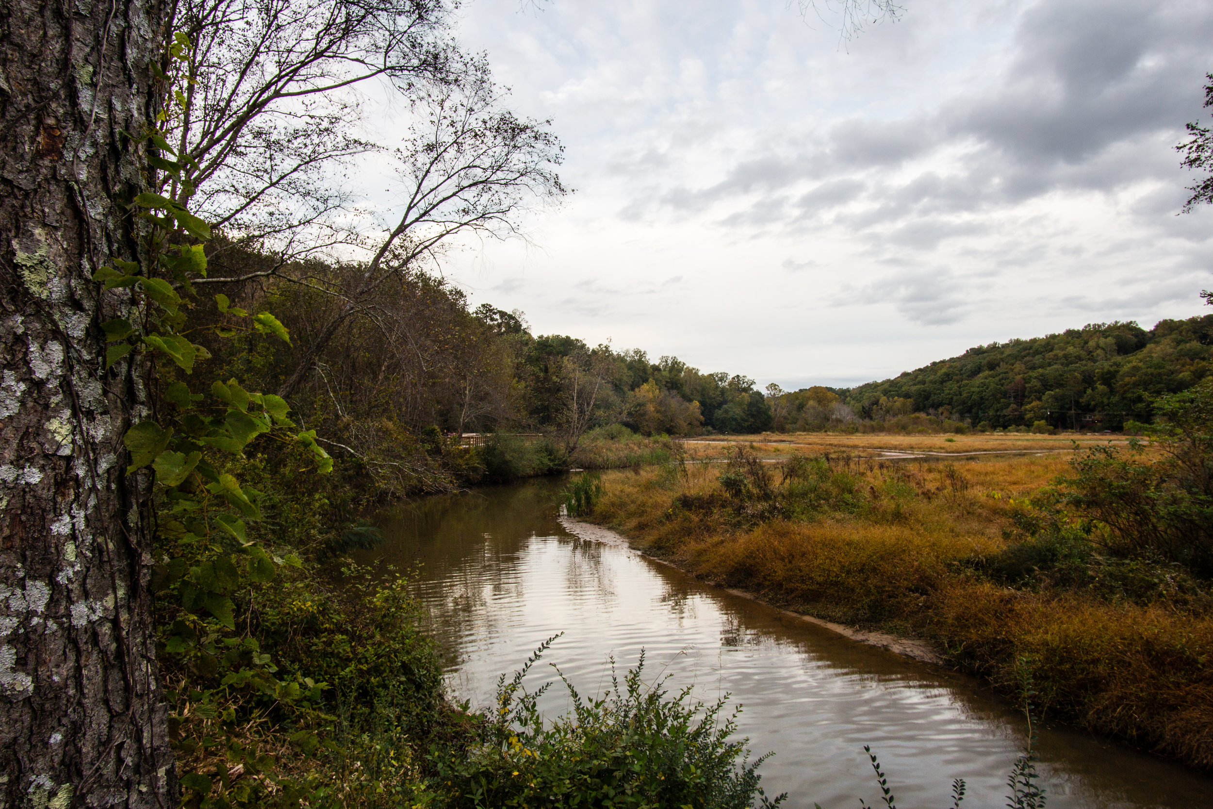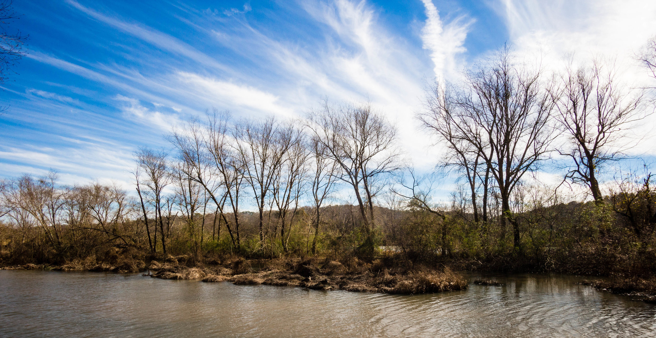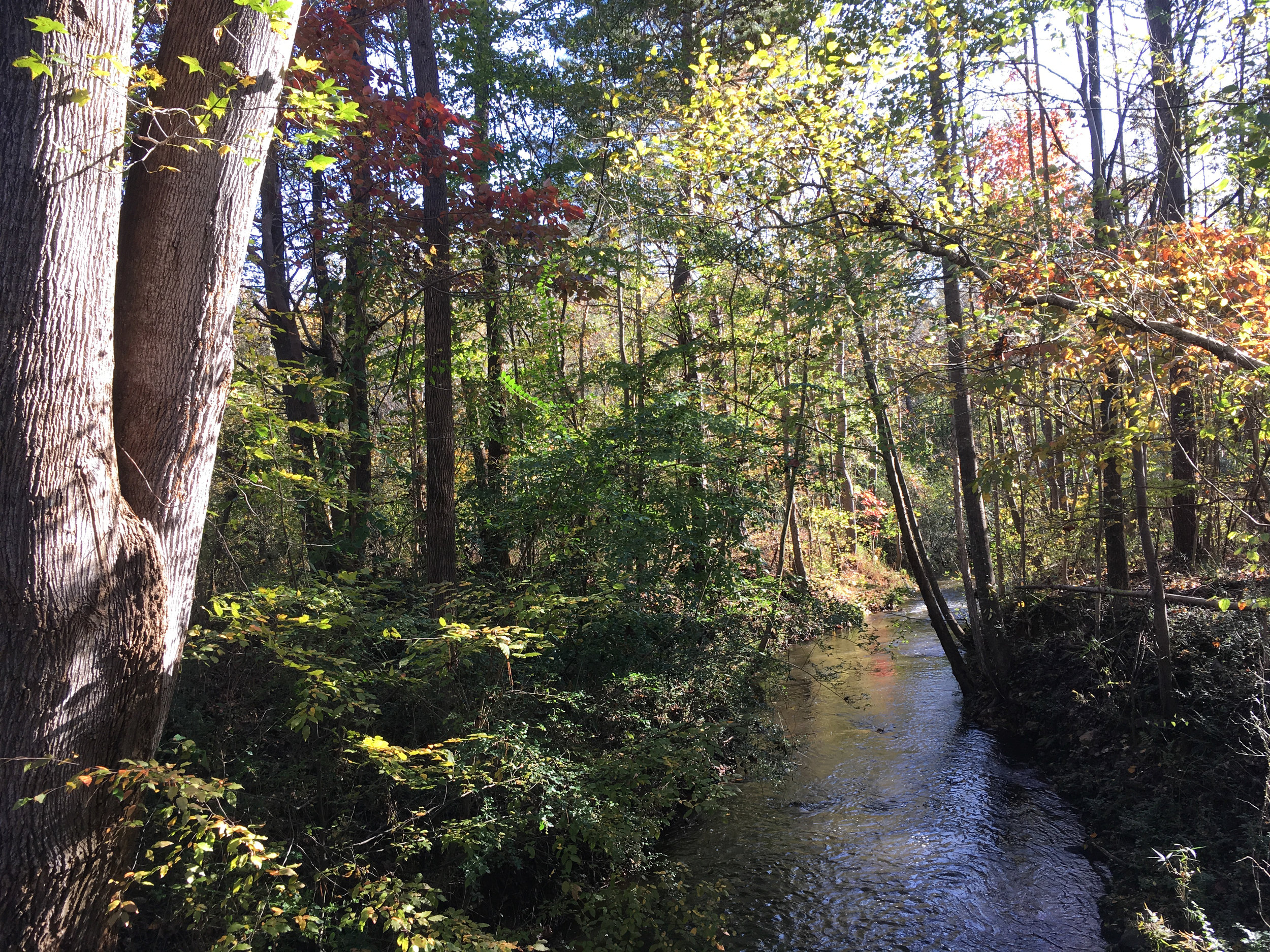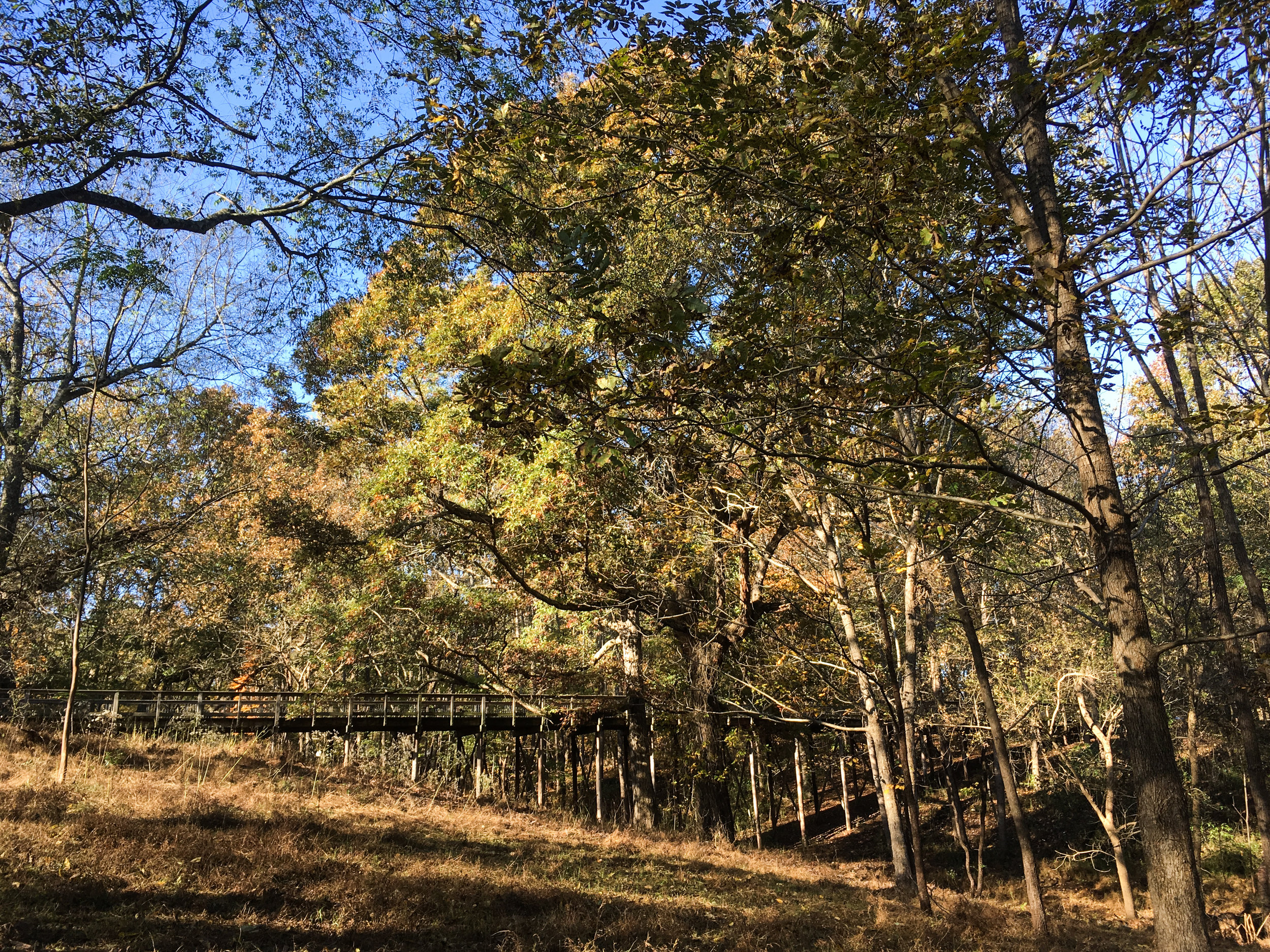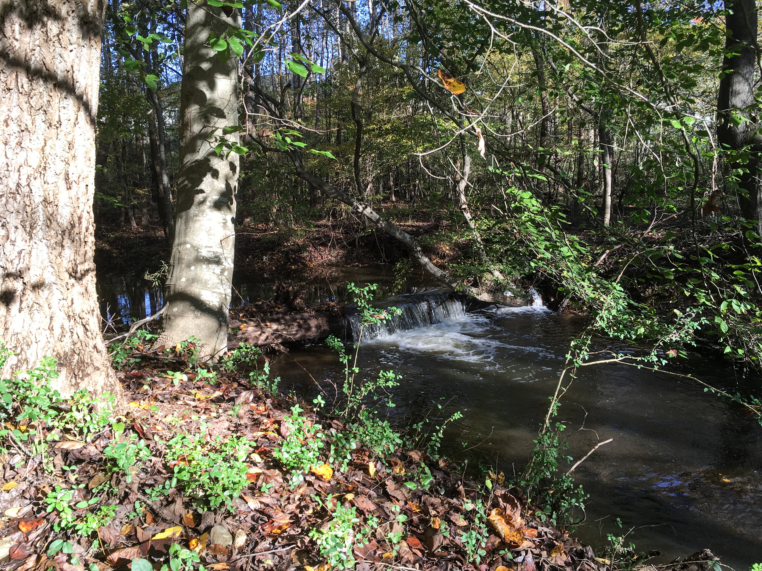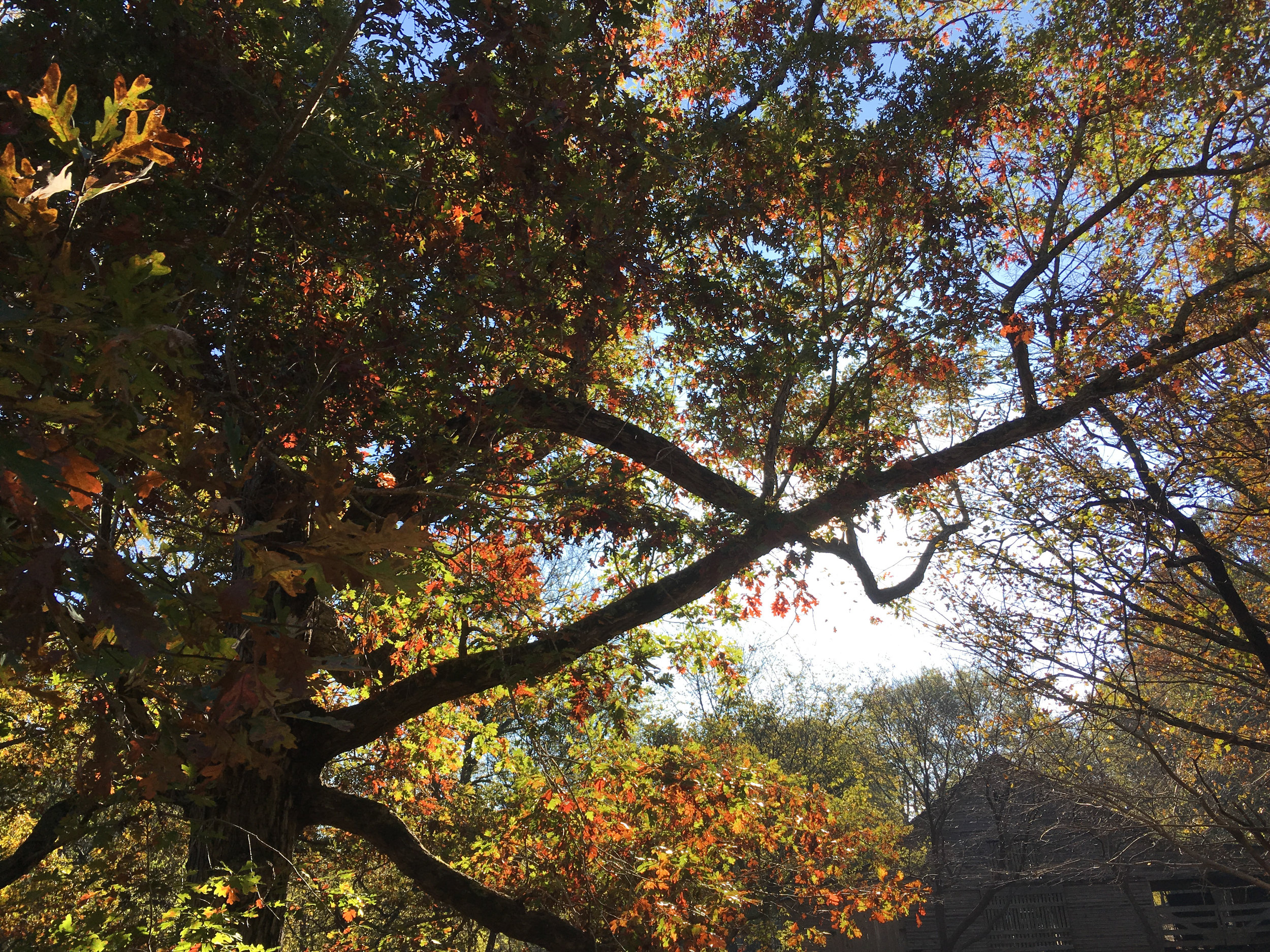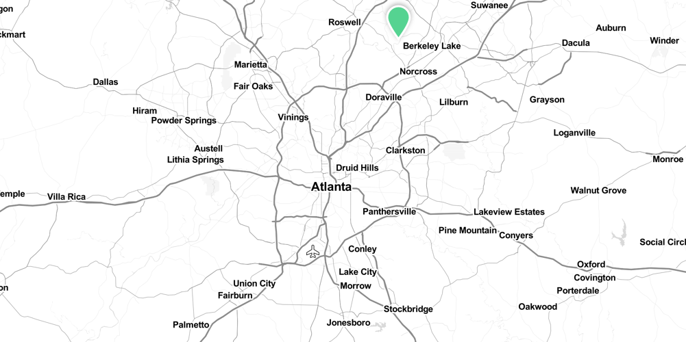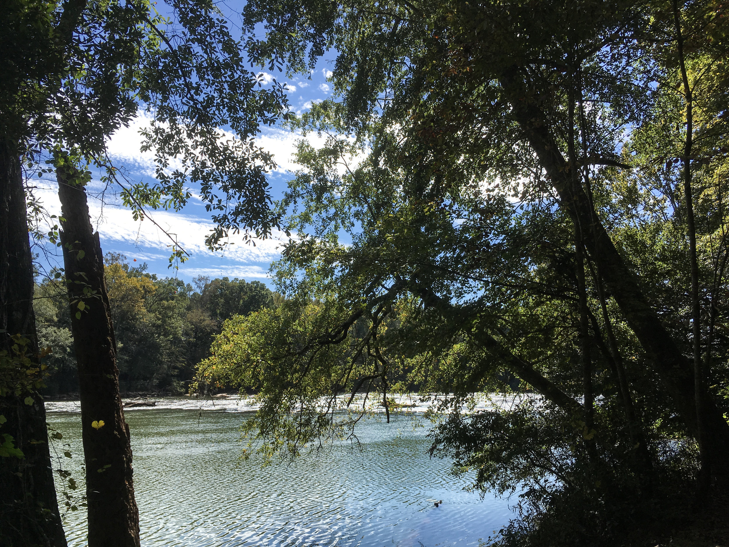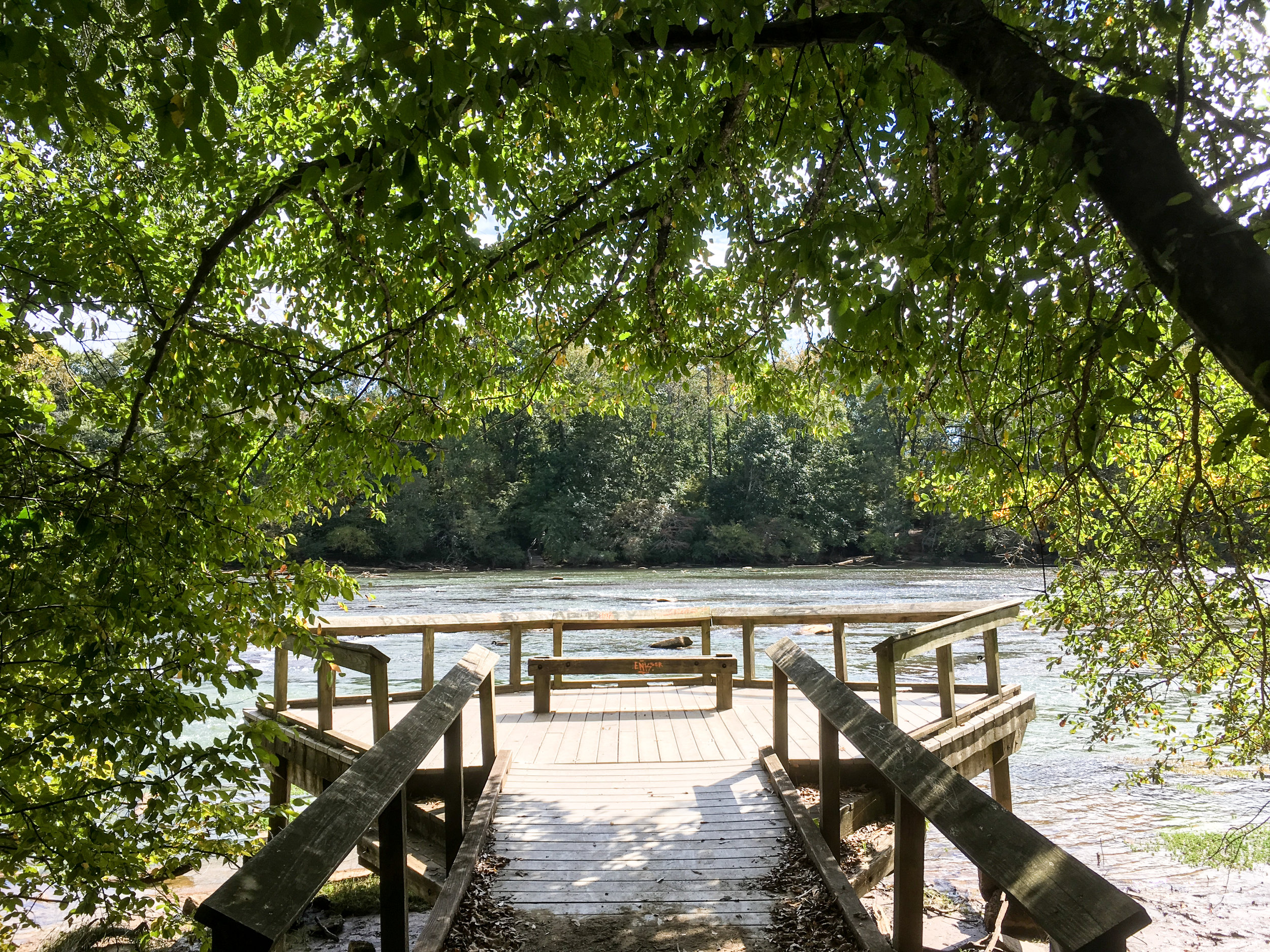

Chattahoochee River National Recreation Area: Sope Creek
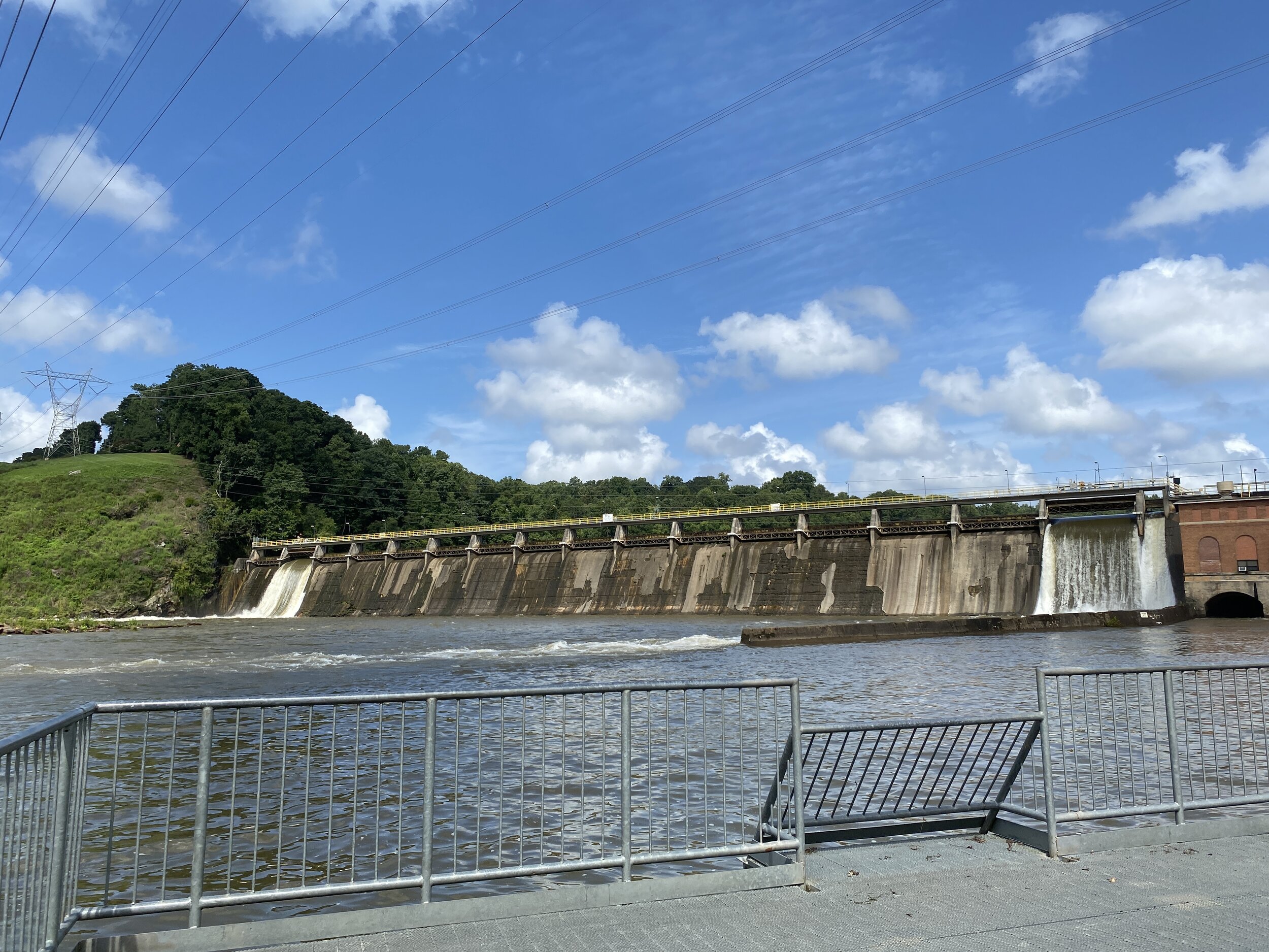
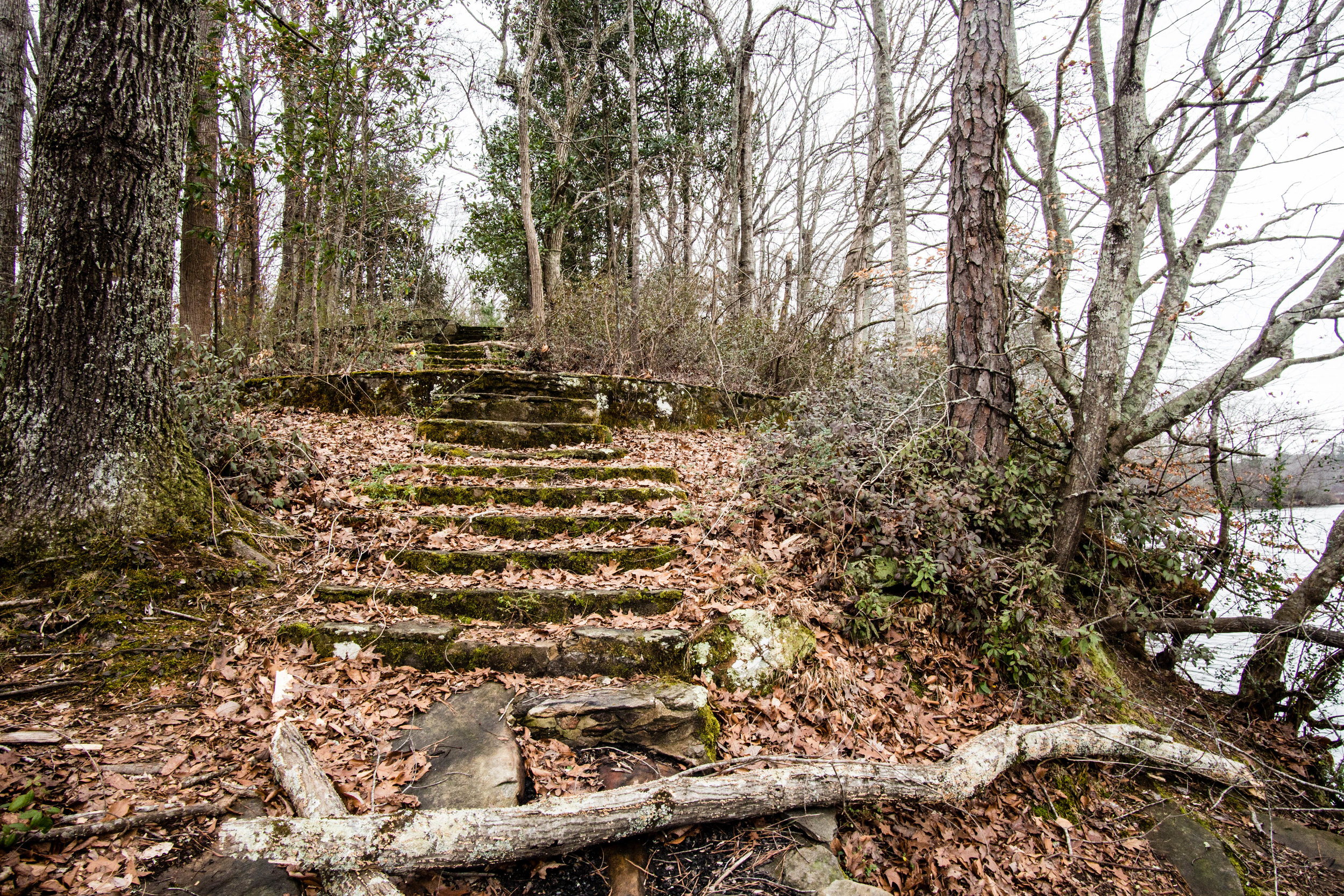
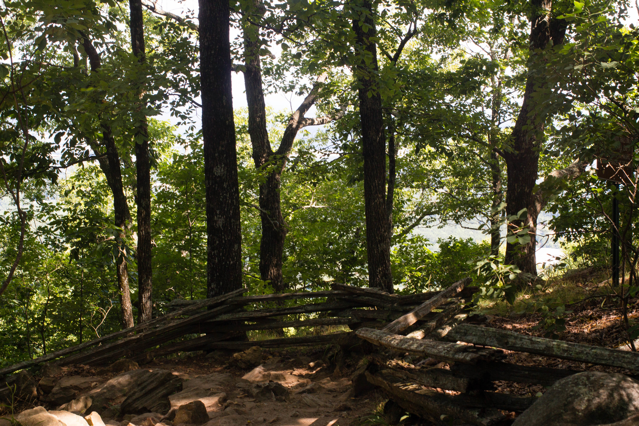
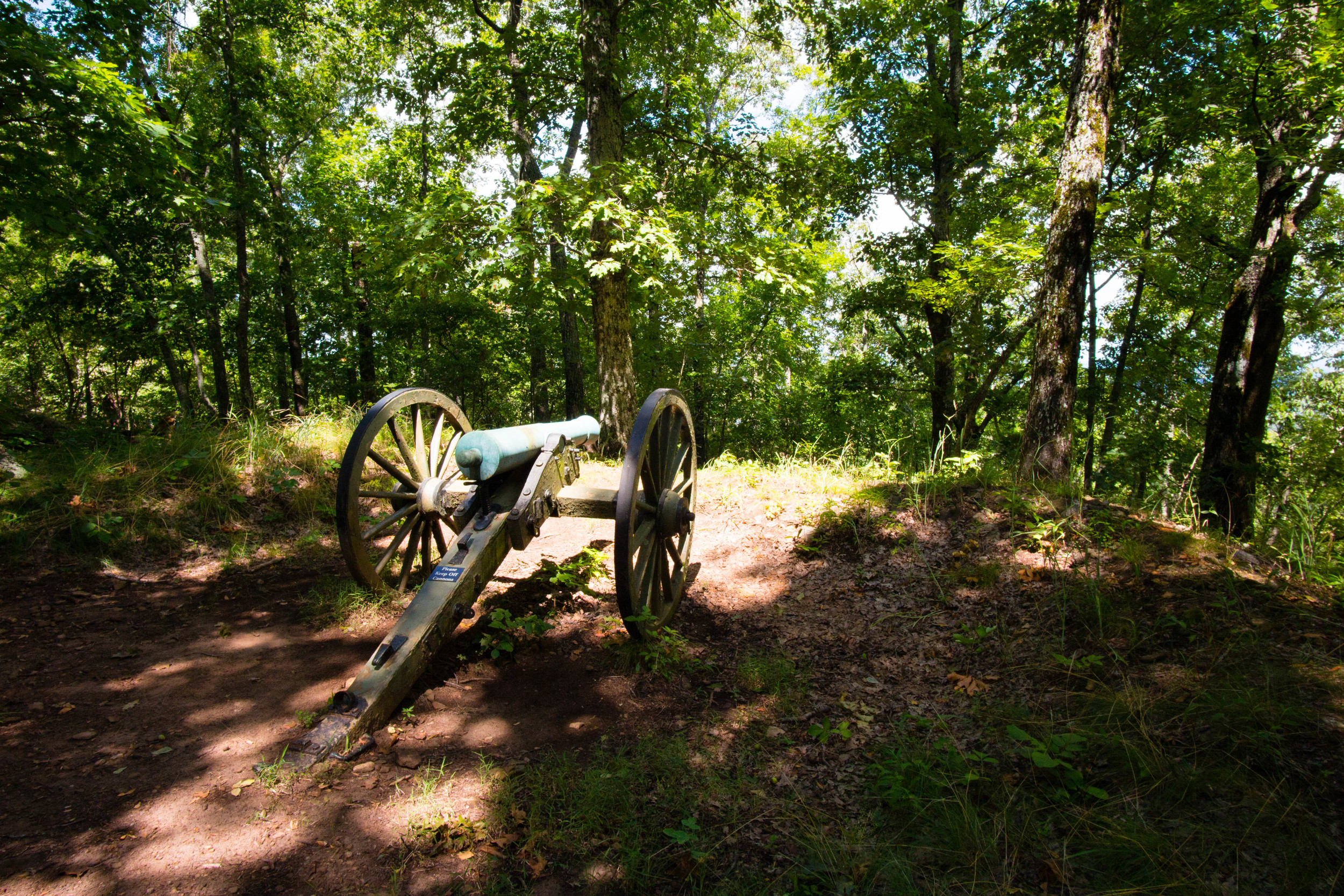
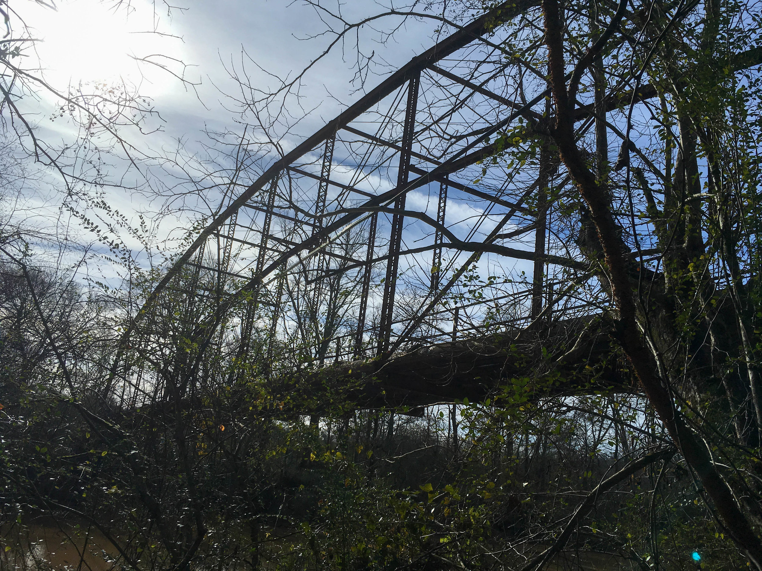
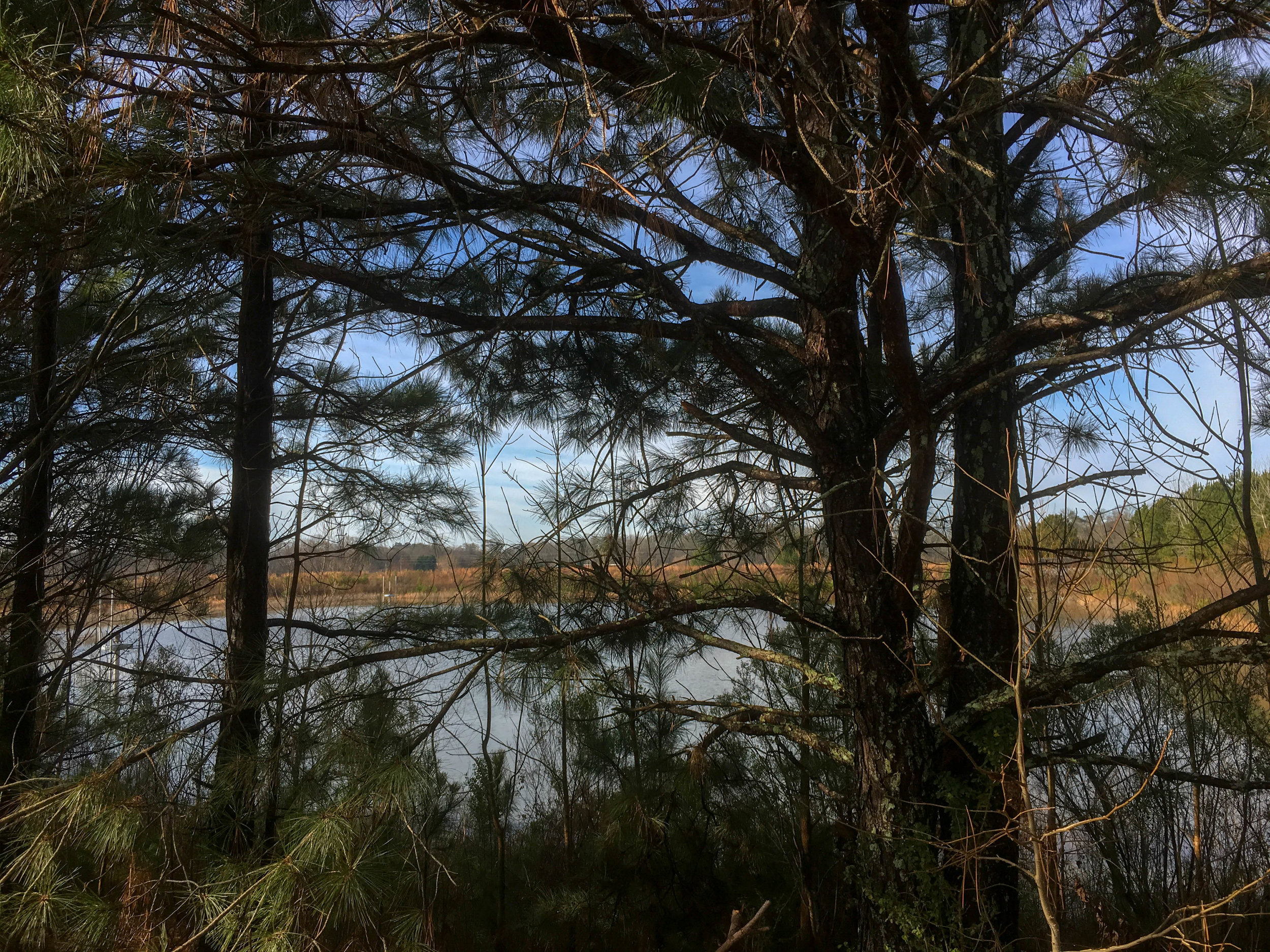
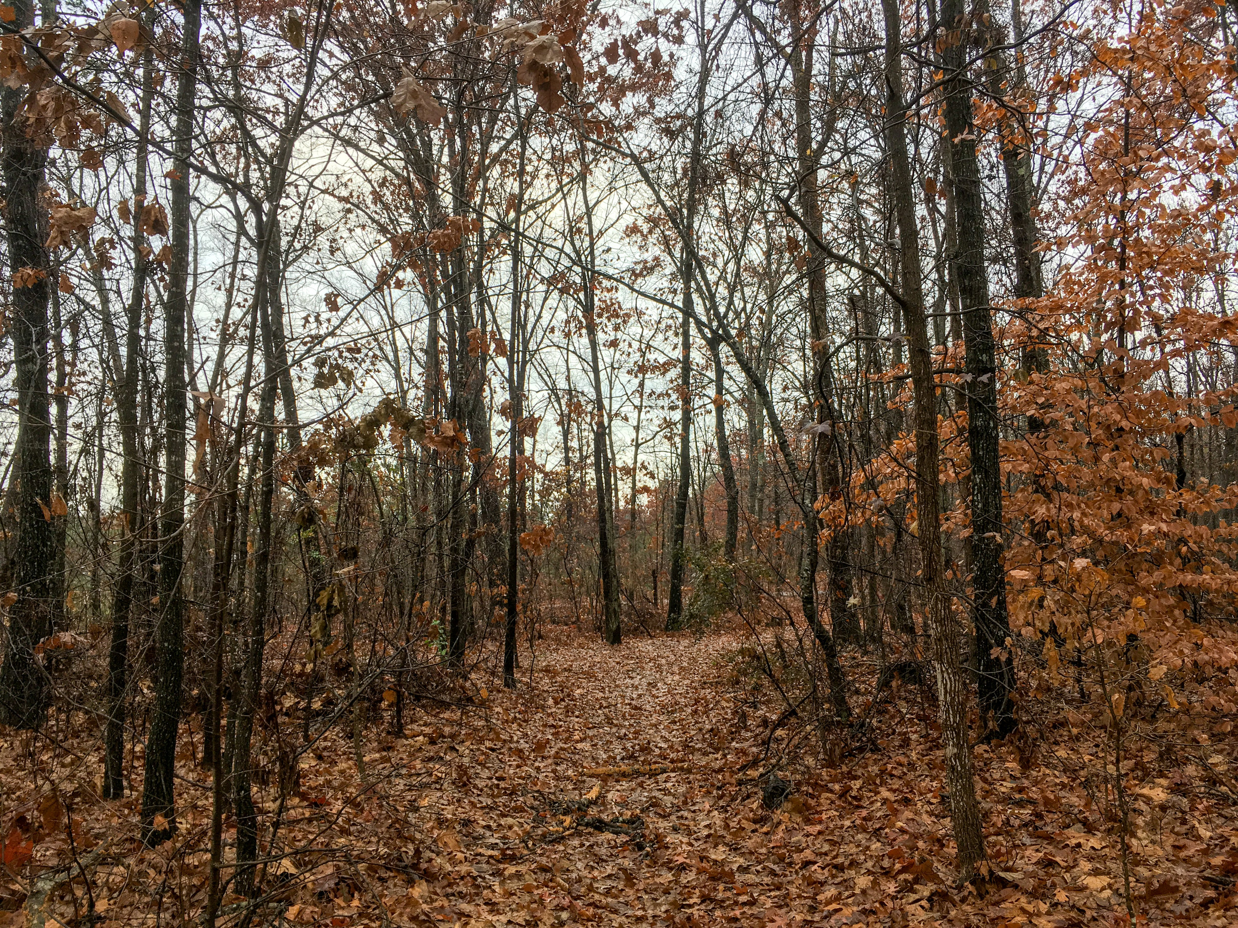
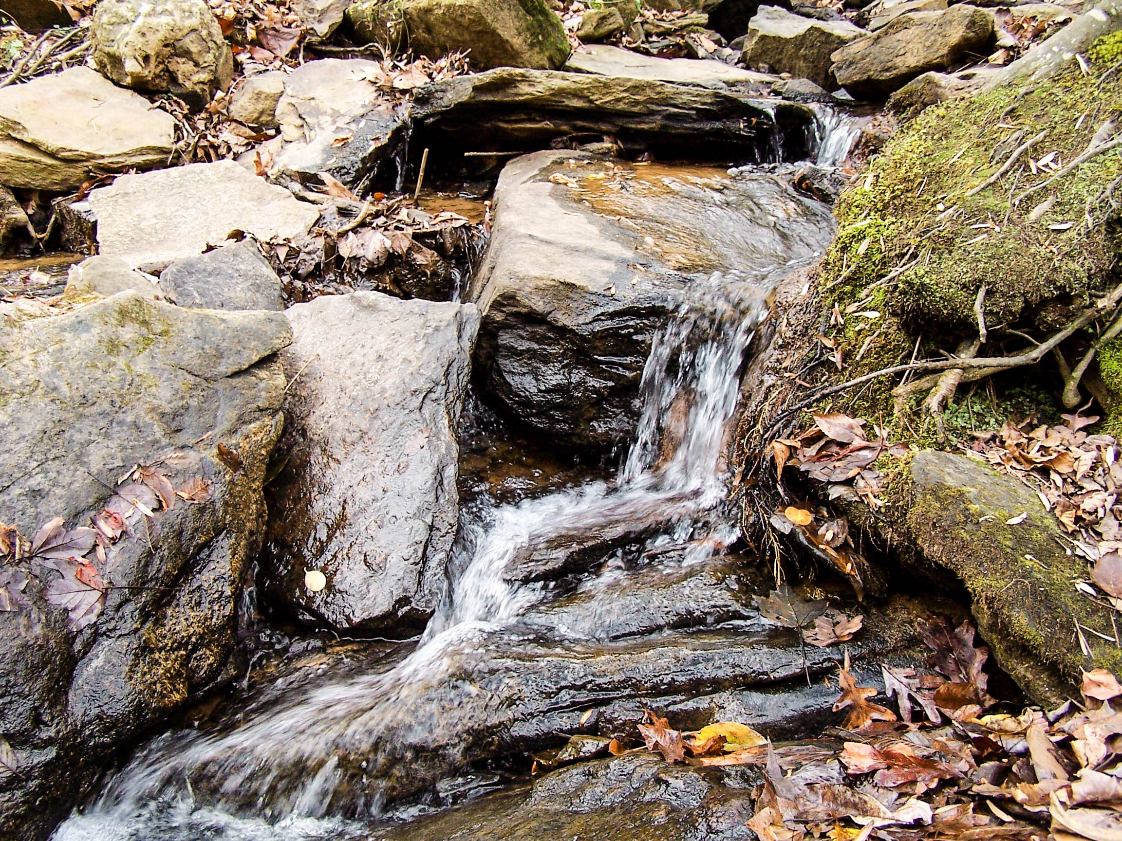
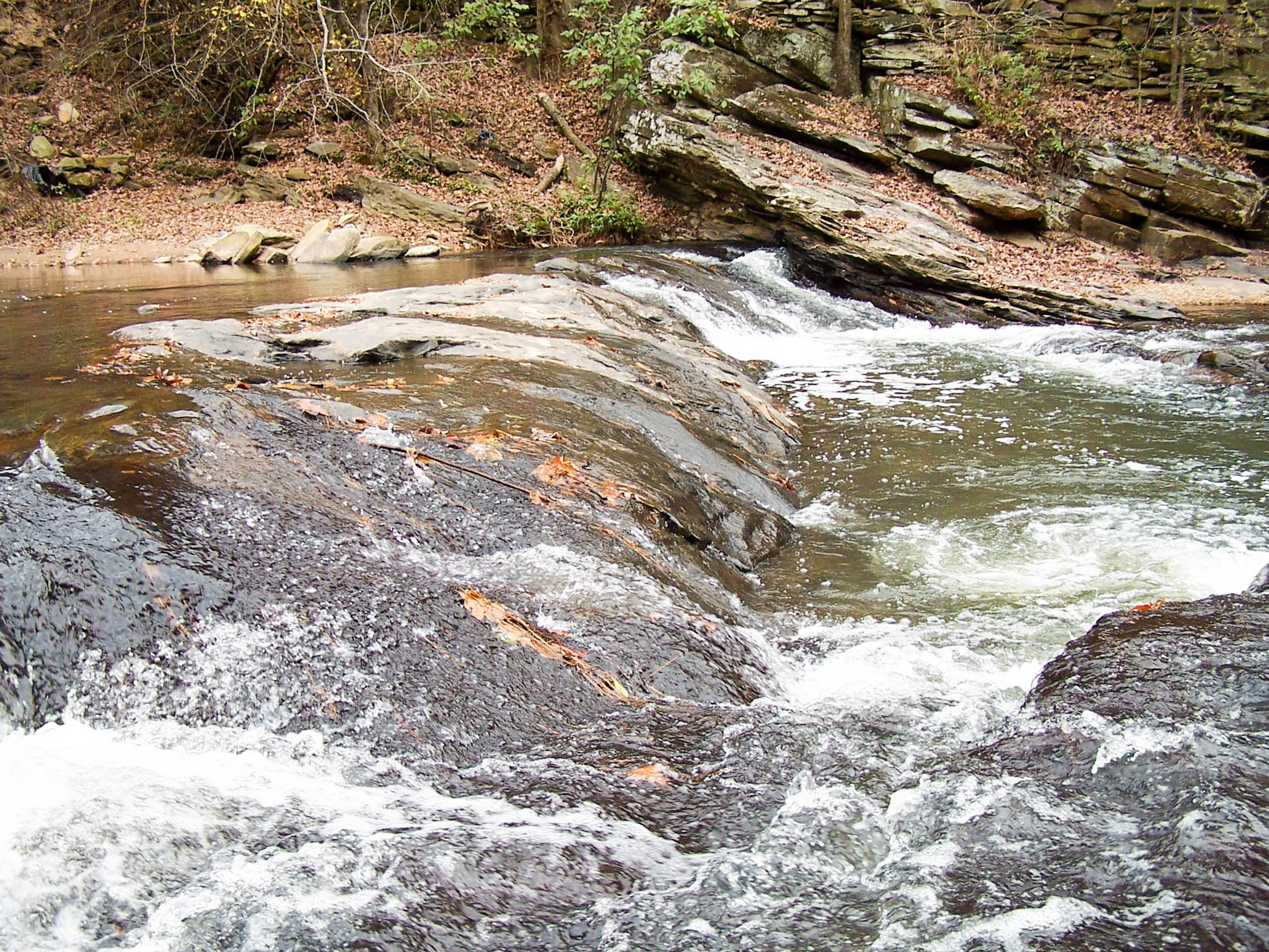
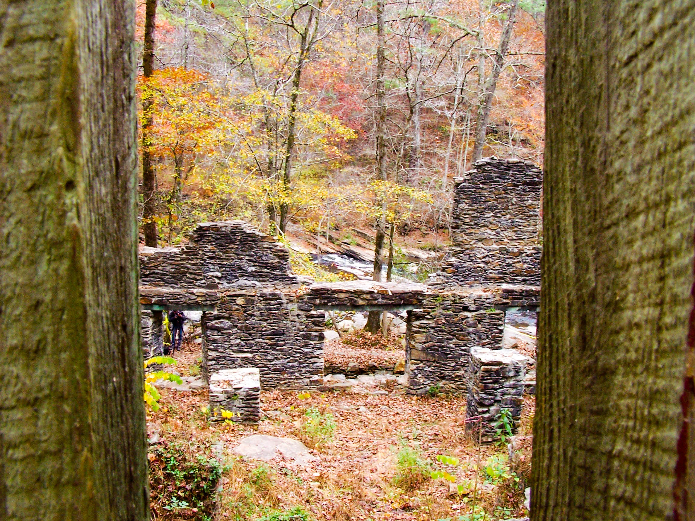
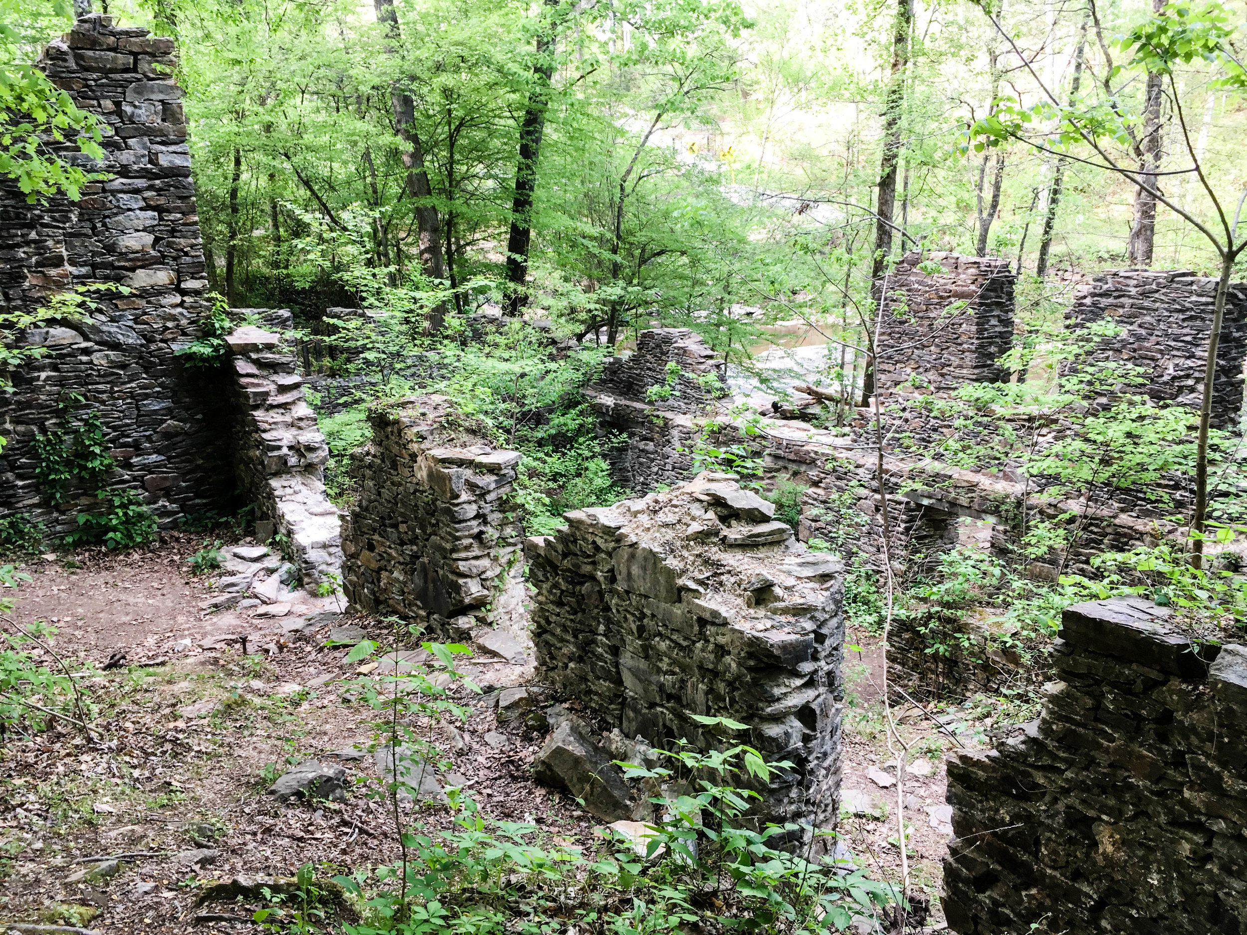
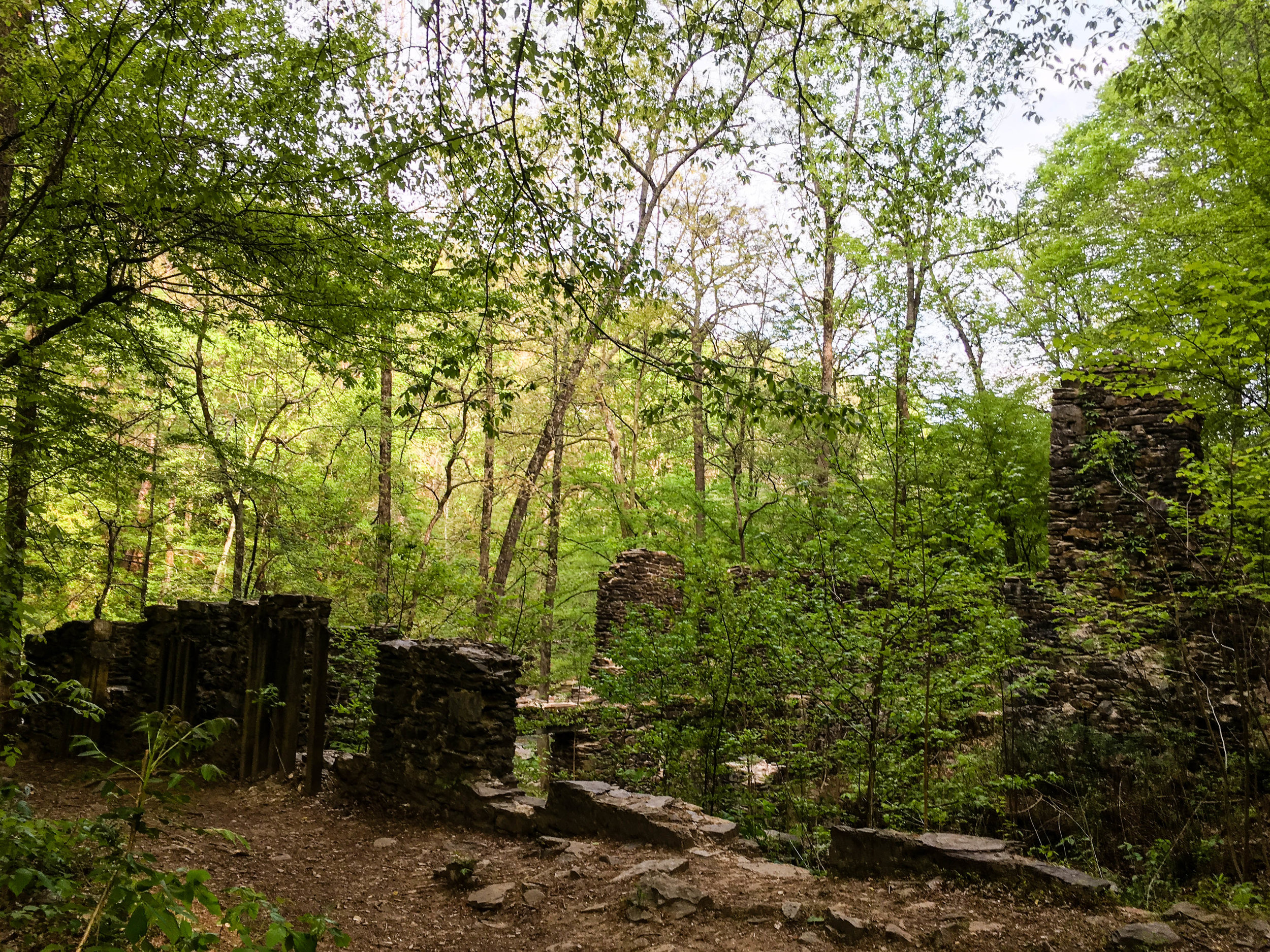
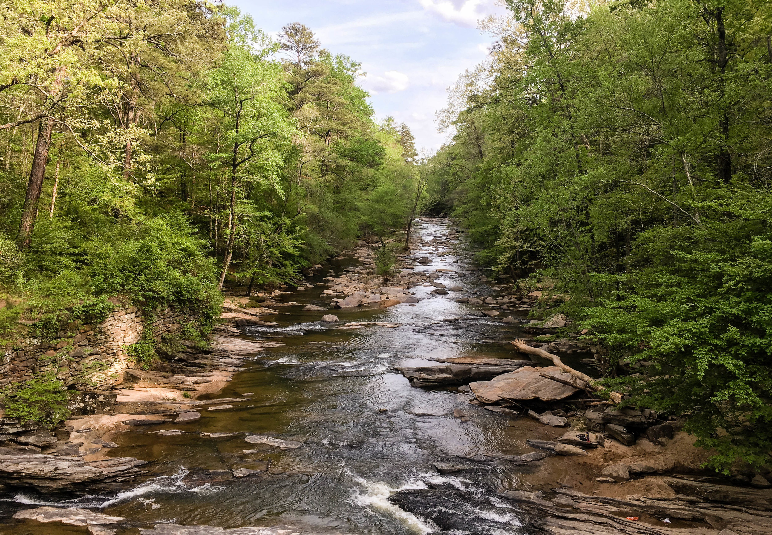
The paper mill ruins are what this park segment is most known for. The ruins are located near marker SC27 on the map. This segment connects to Cochran Shoals via trails. Mountain bikes are allowed on some segments of both Sope Creek and Cochran Shoals. Note: some of the mountain bike trails are one-way only. They change direction based on the day. Hikers hike in the opposite direction of bikes.
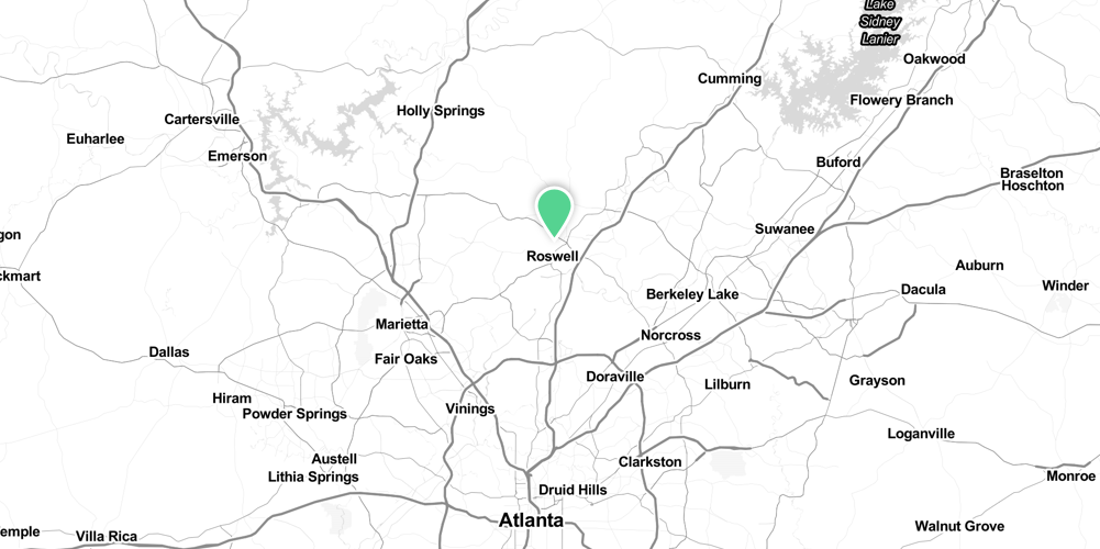
Address: 3726 Paper Mill Rd SE, Marietta, GA 30067
Cost of admission: $5/day per car
Governance: NPS
Friends of the Park Group: Chattahoochee National Park Conservancy
Acres: 303
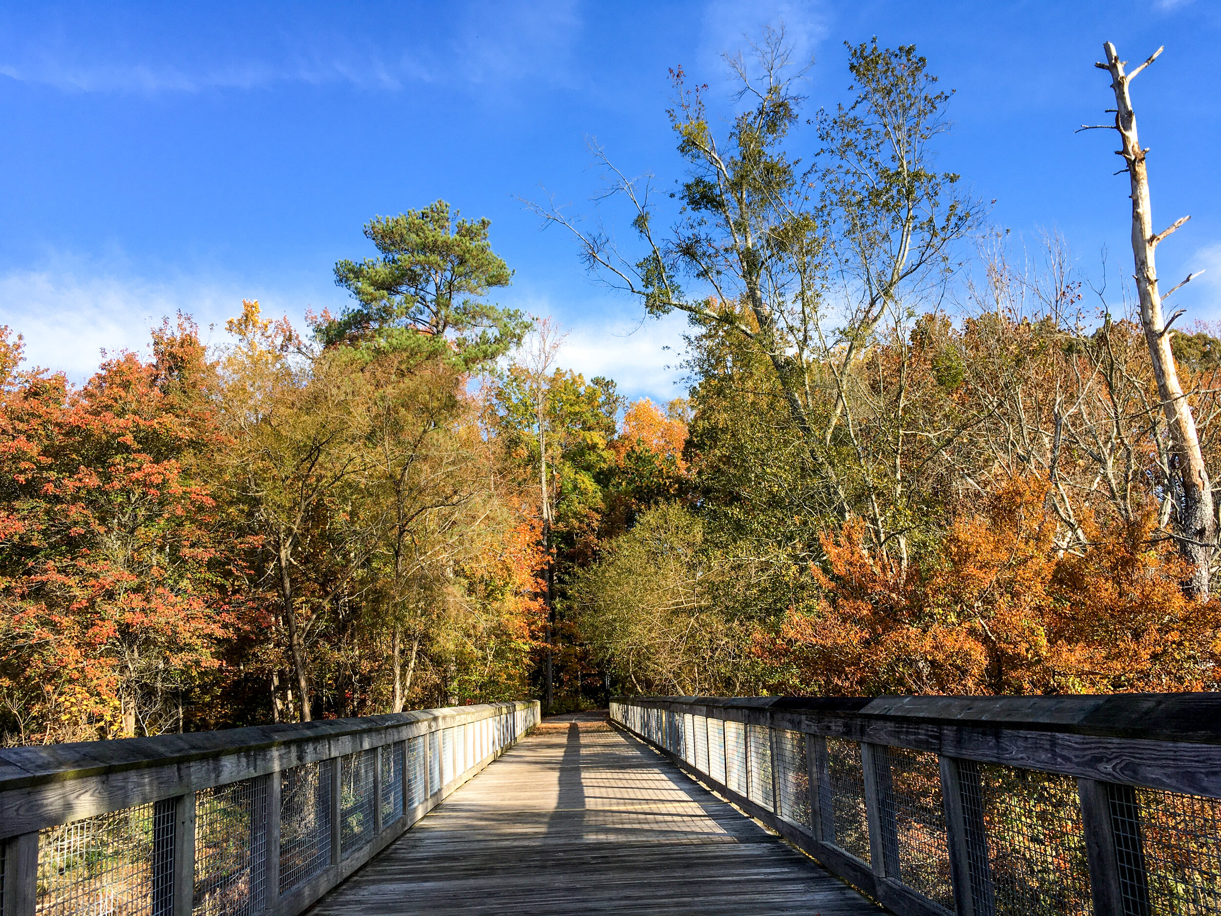
Approximate miles of trails: 5.5
Hours: Dawn to dusk, exact park hours are posted at the trailheads
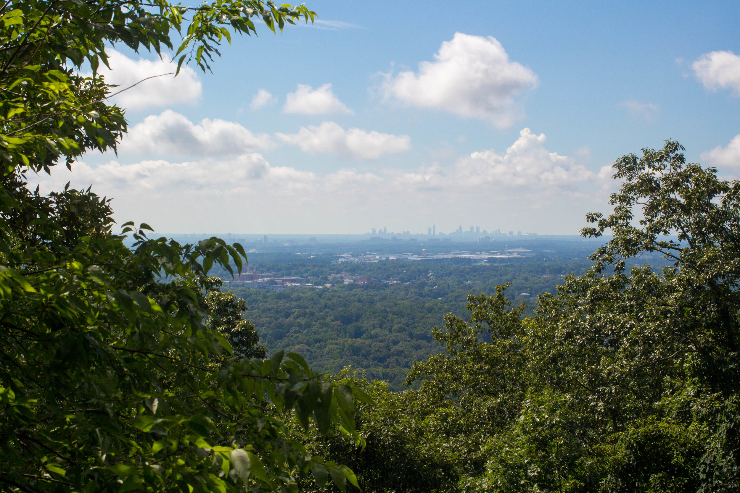
Miles from downtown Atlanta: 13
Transit directions: The Cochran Shoals is fairly transit-accessible, and this unit connects to that one. Sope Creek itself is not very transit accessible.
Parking: Parking is available at the trailhead
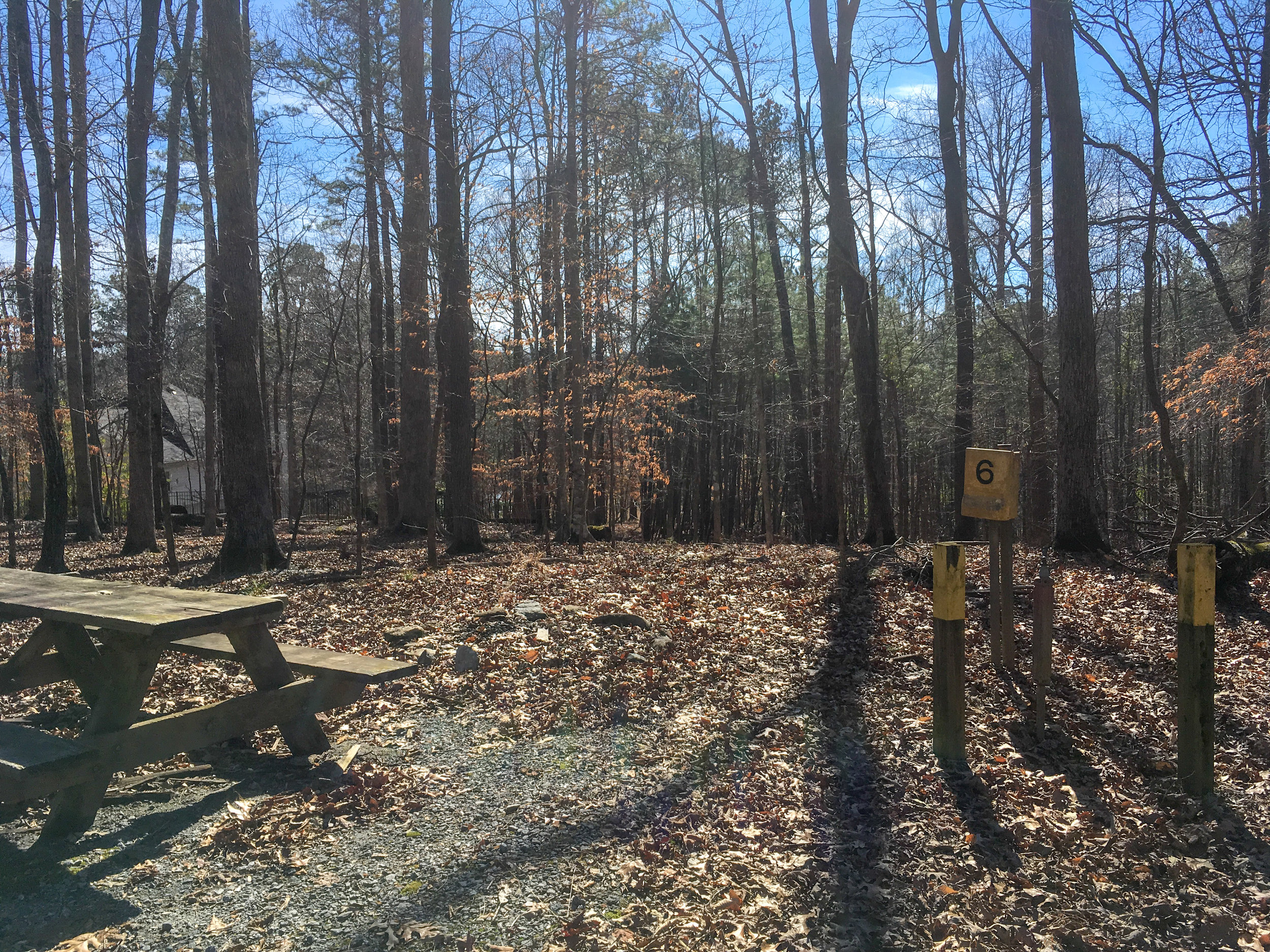
Trailhead(s): There are two trailheads at the parking lot on Paper Mill Rd
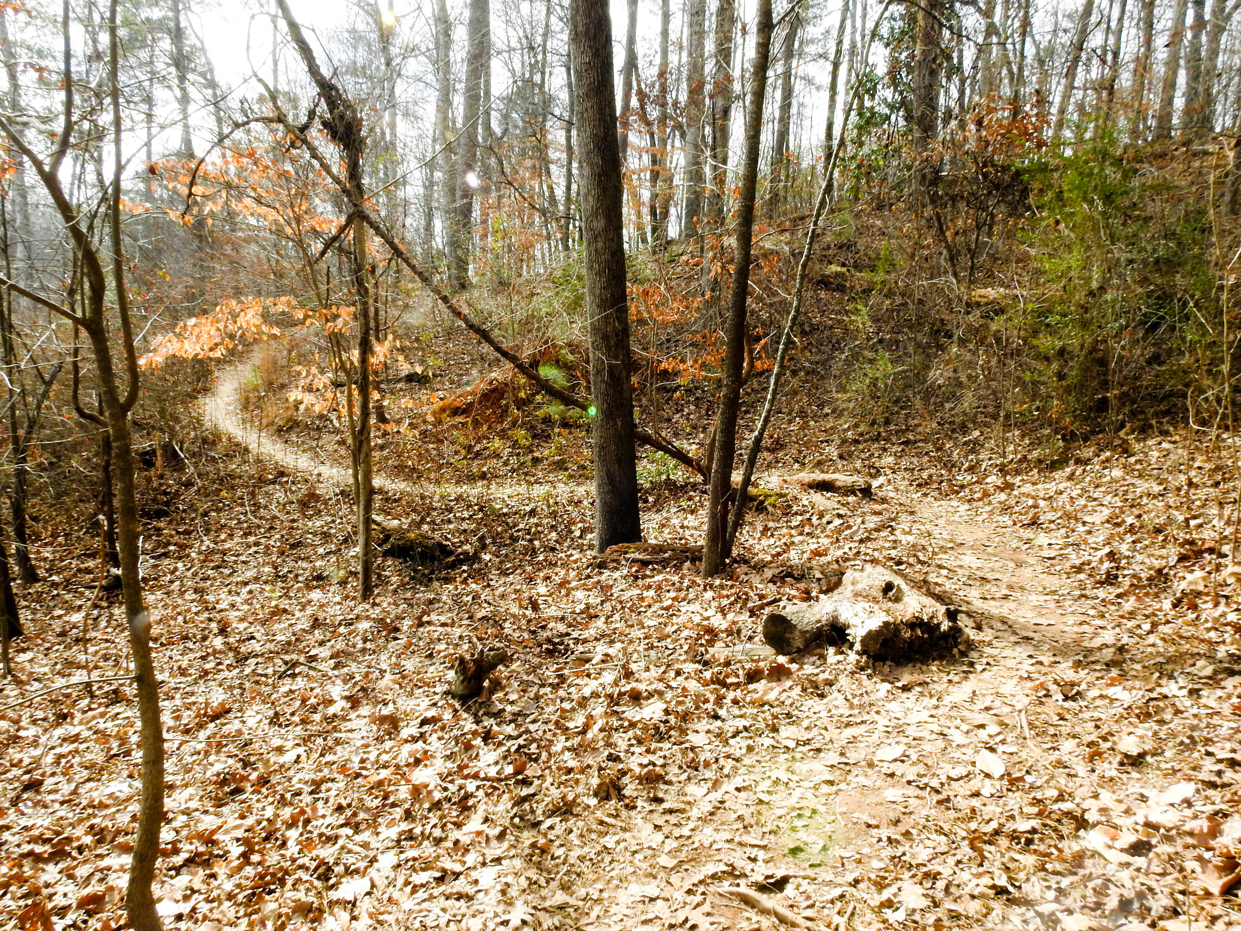
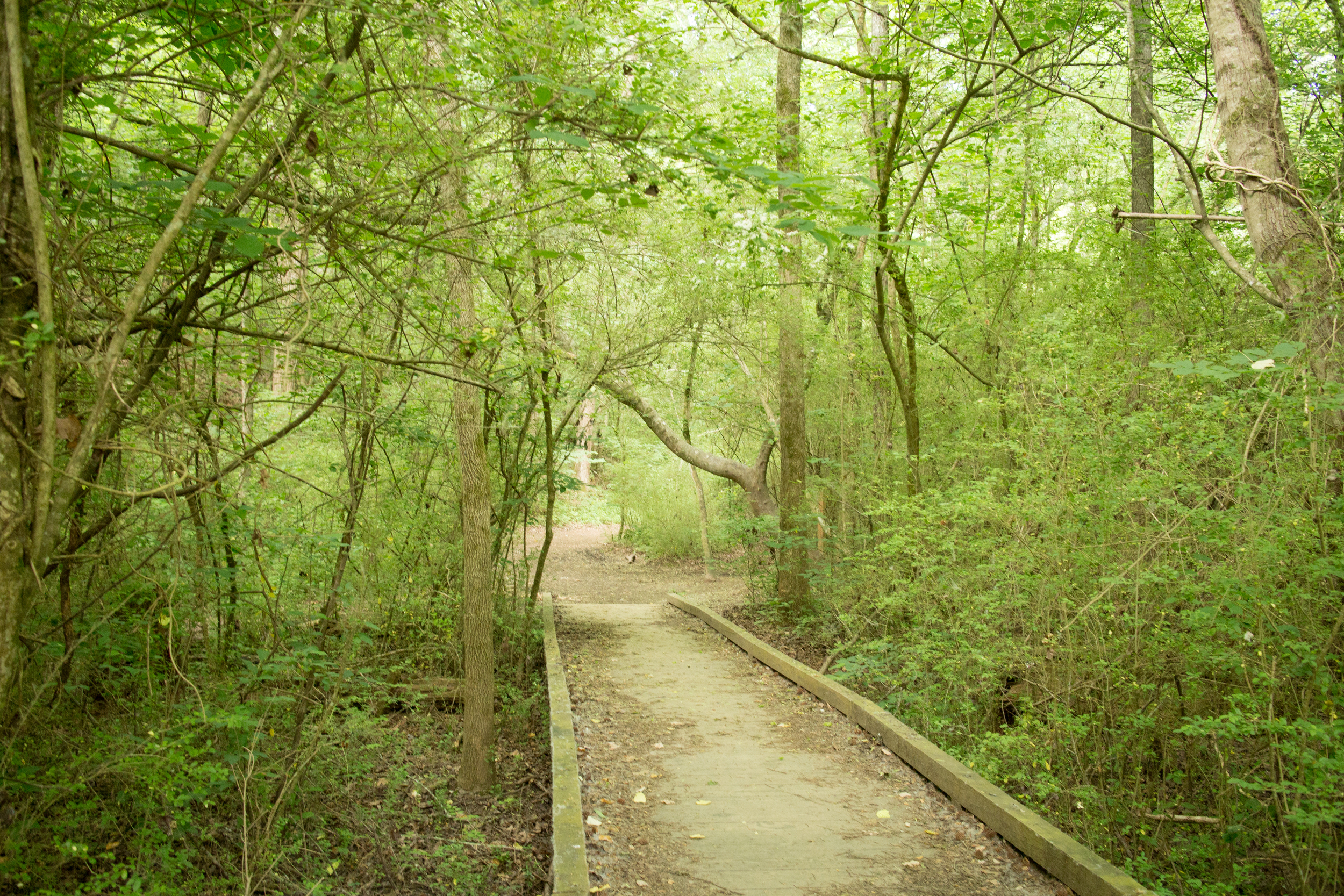
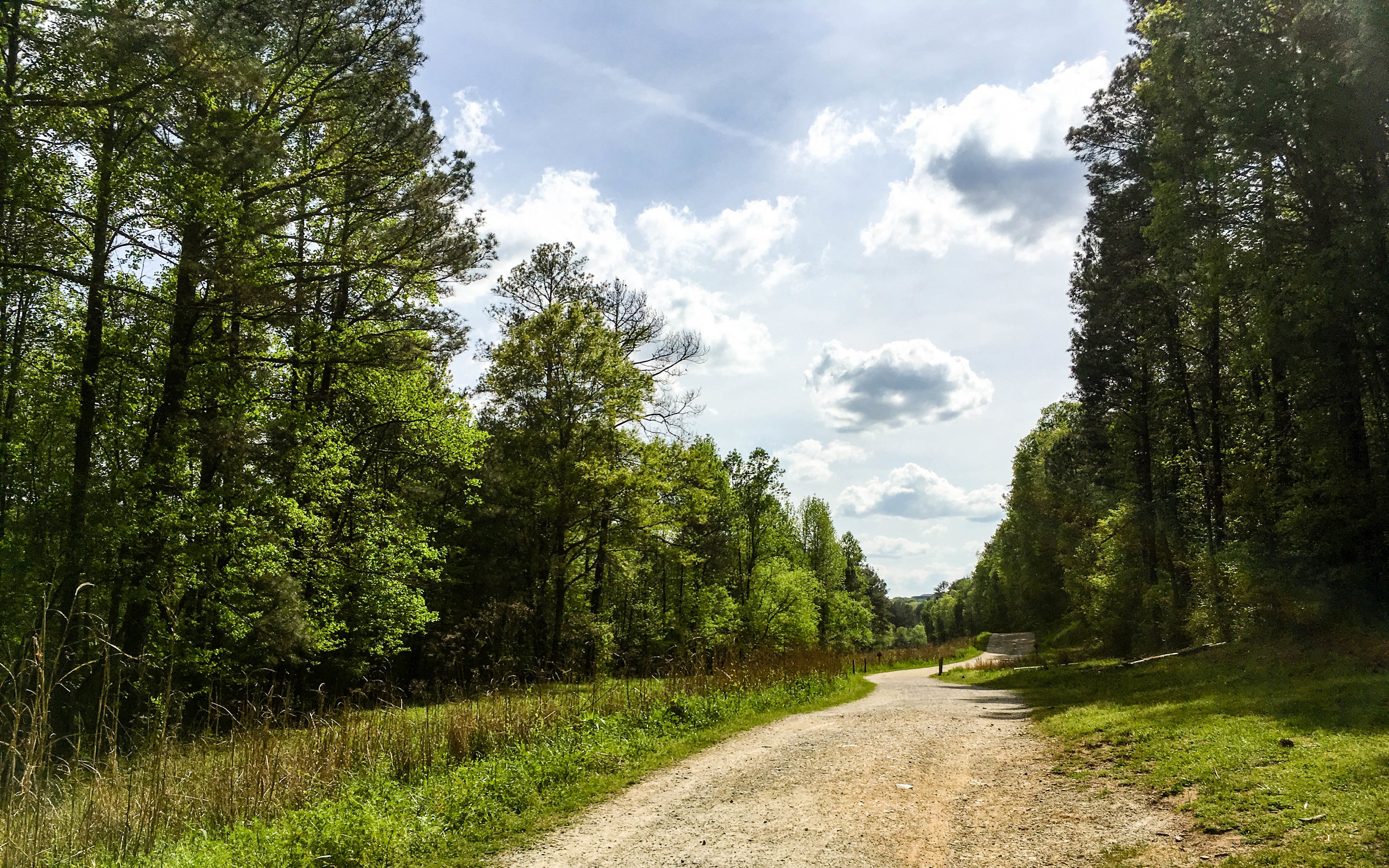
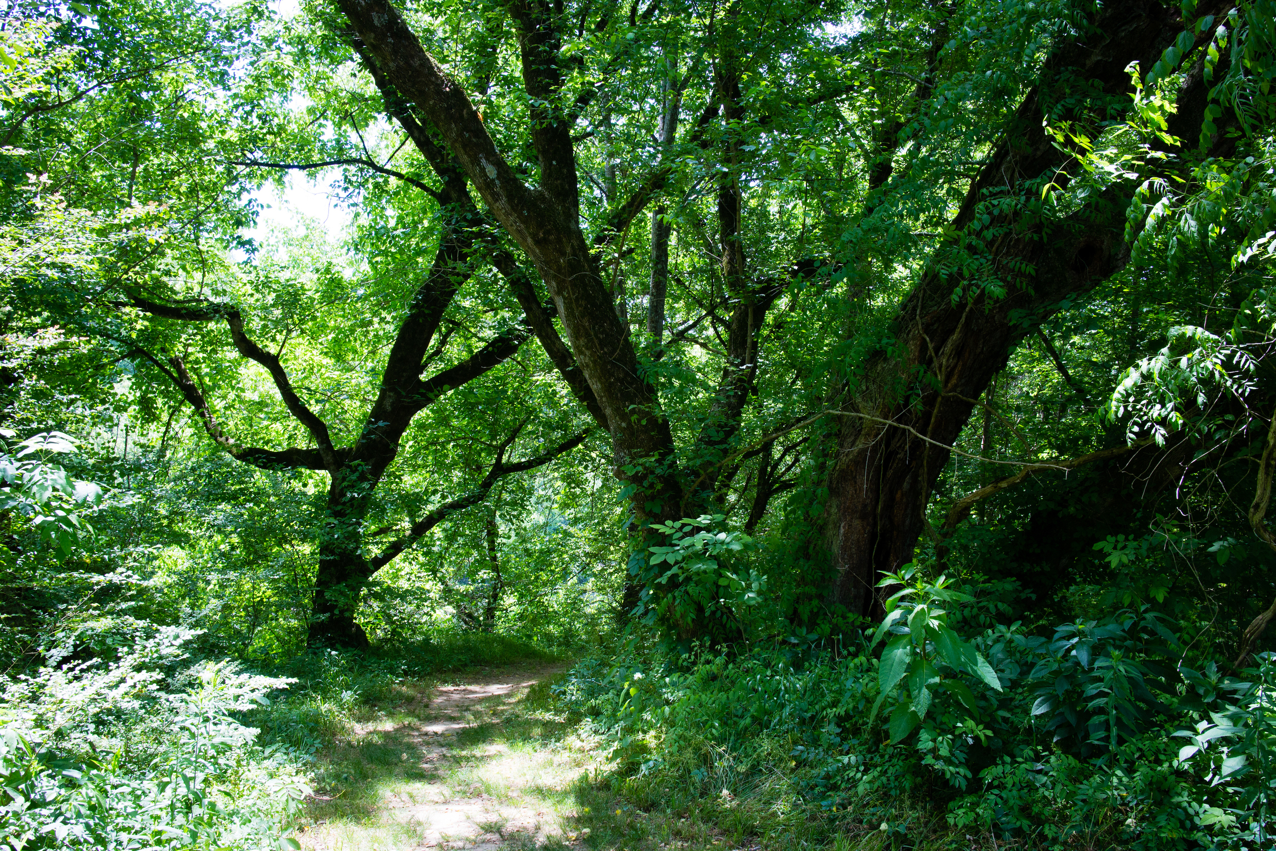
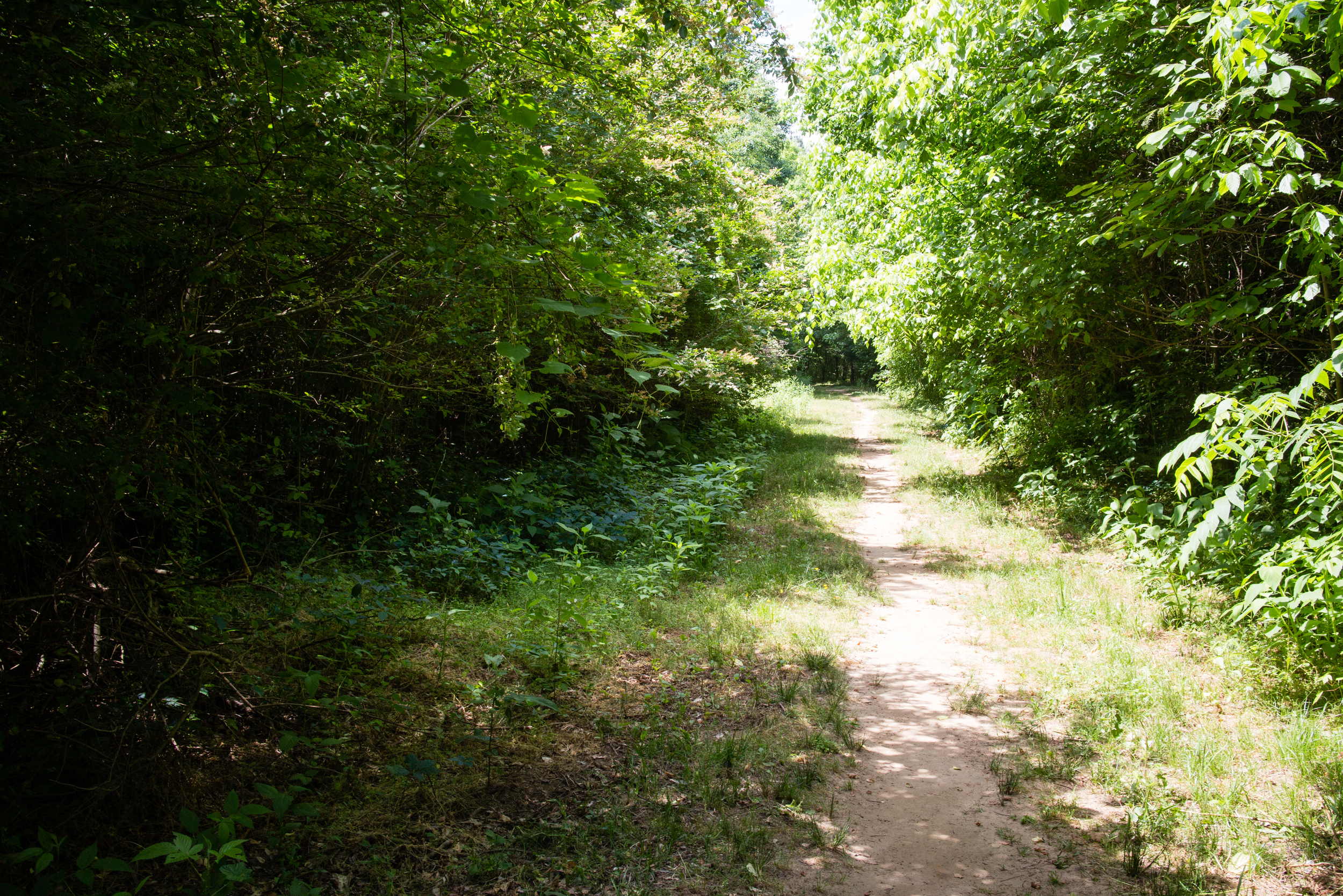
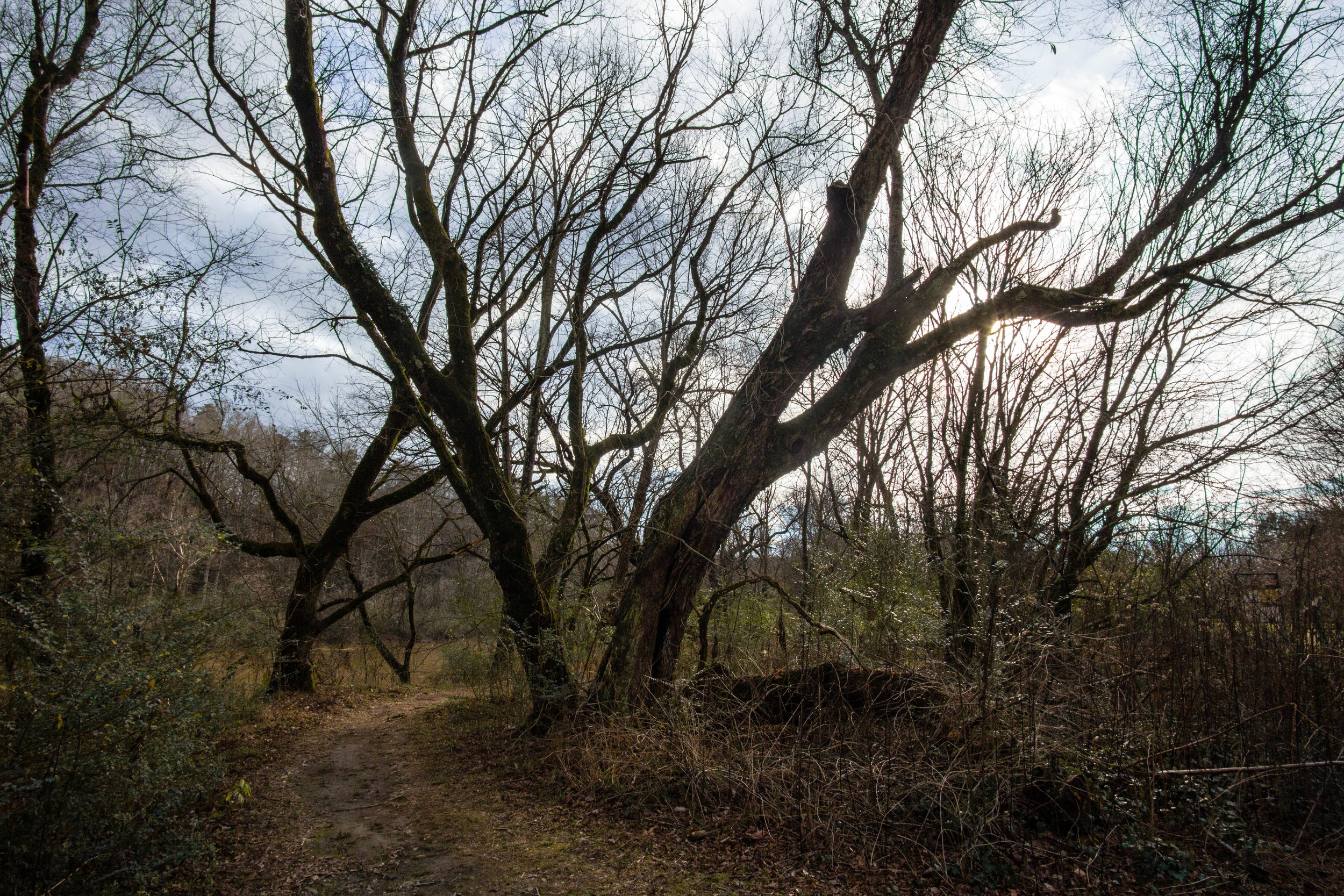
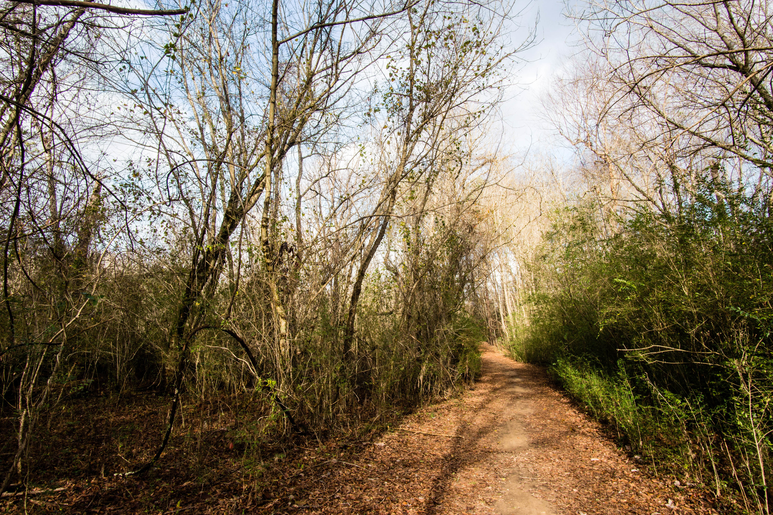
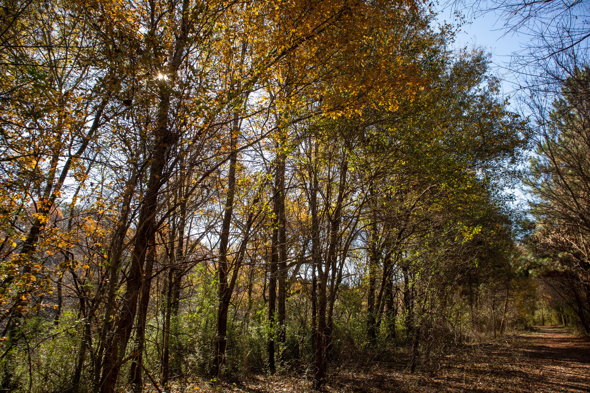
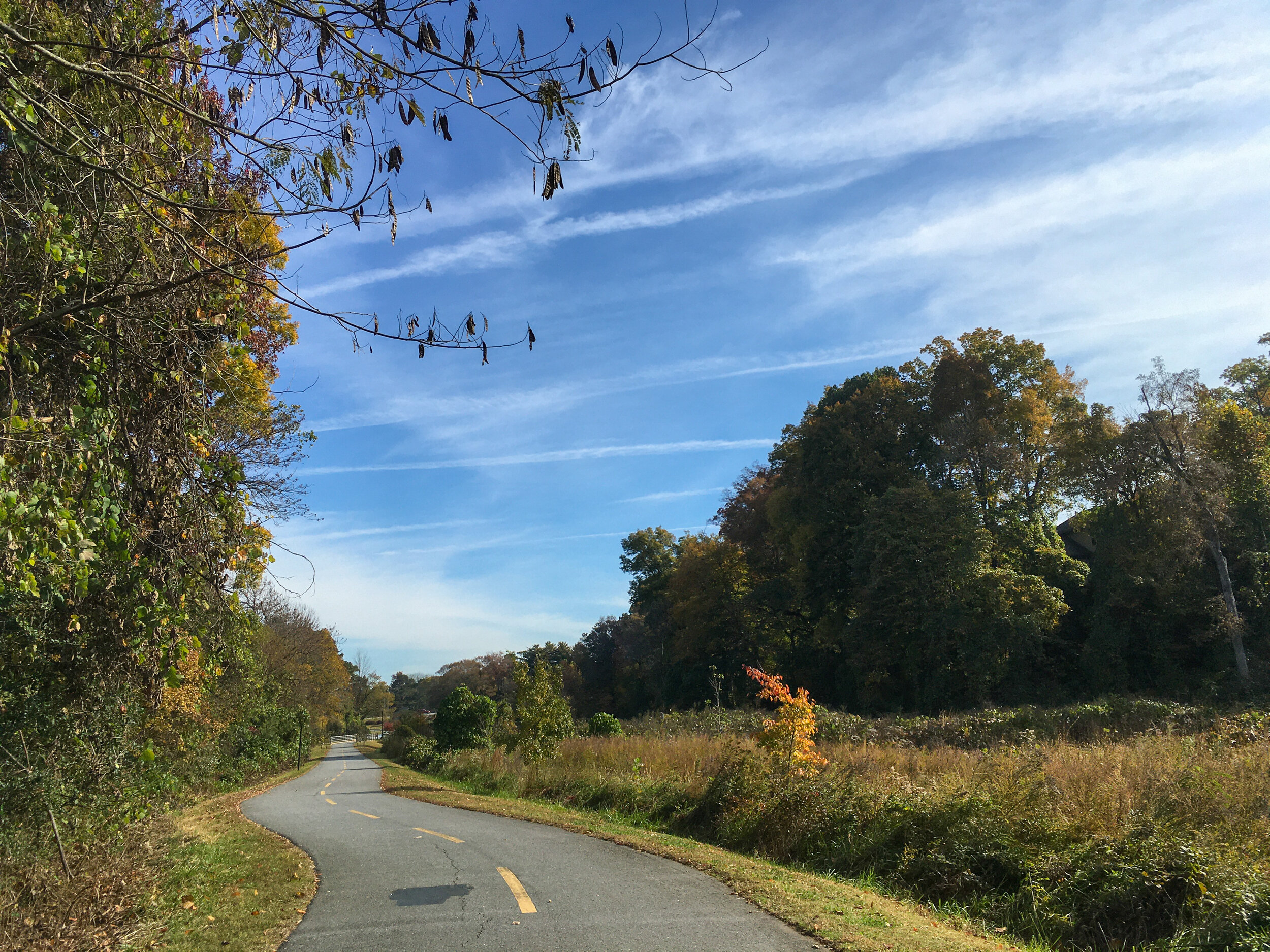
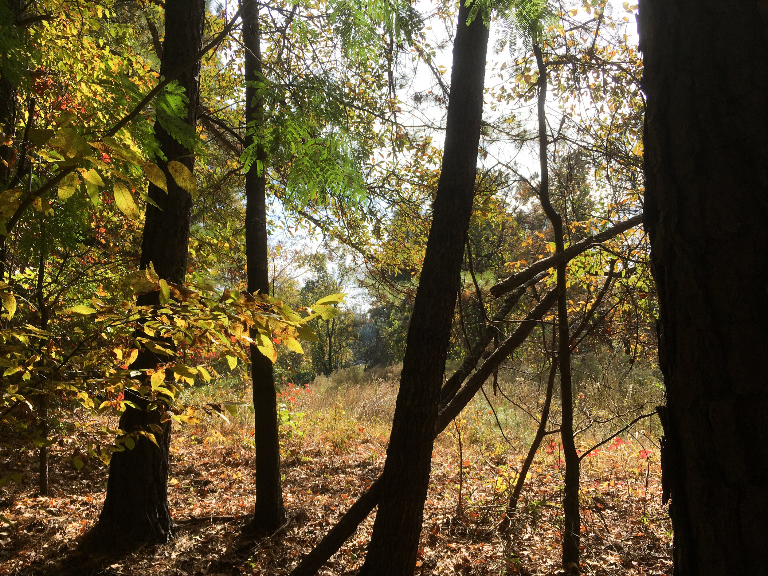
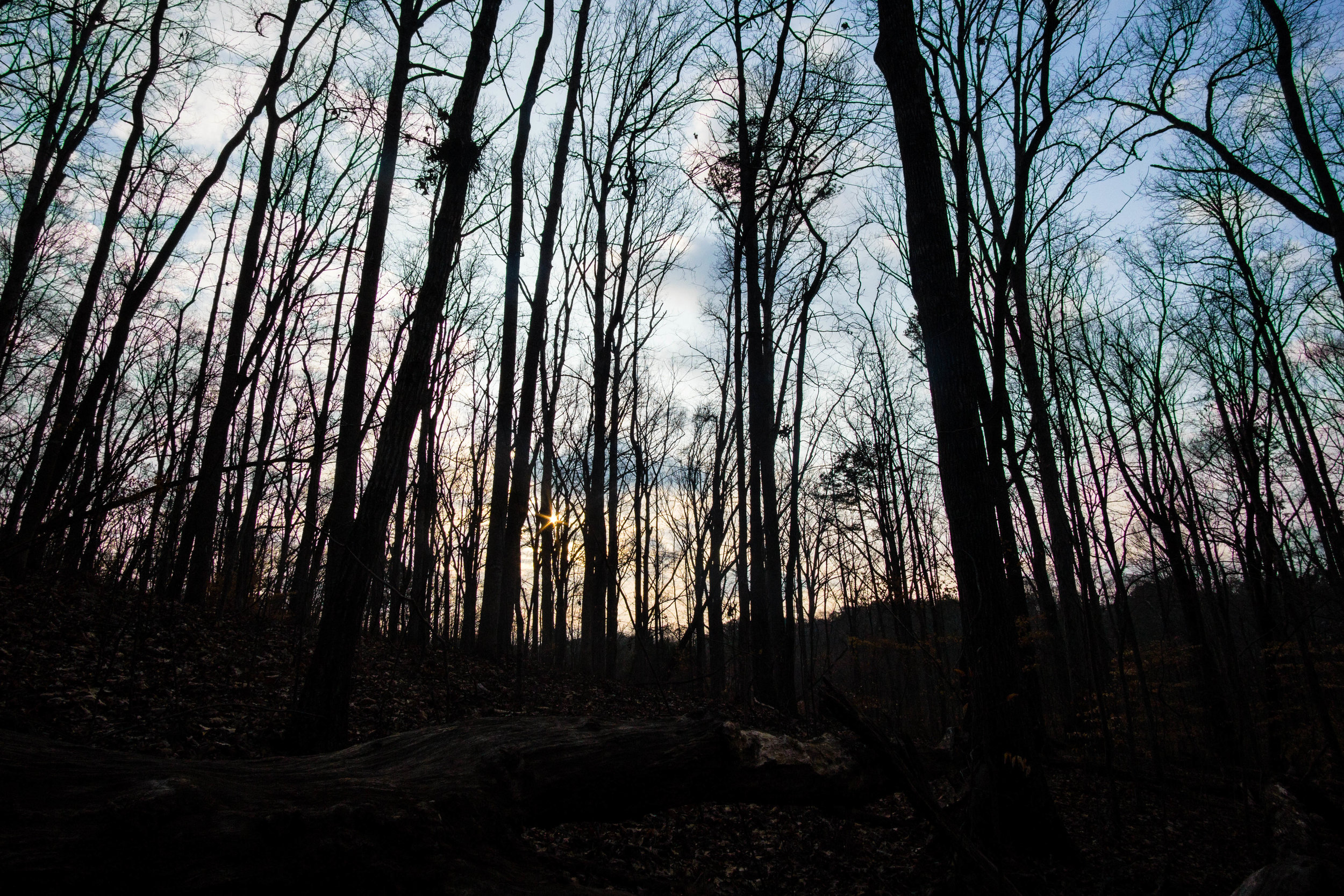
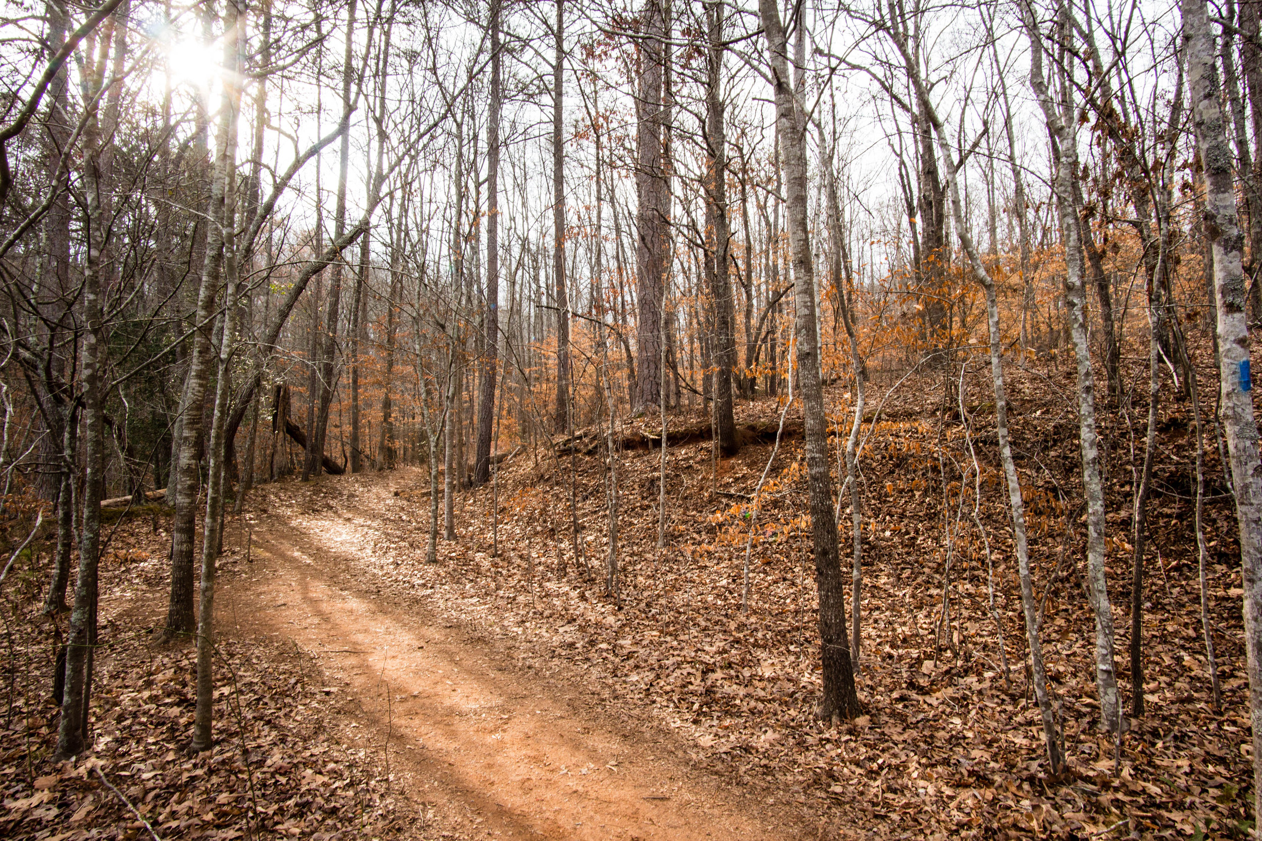
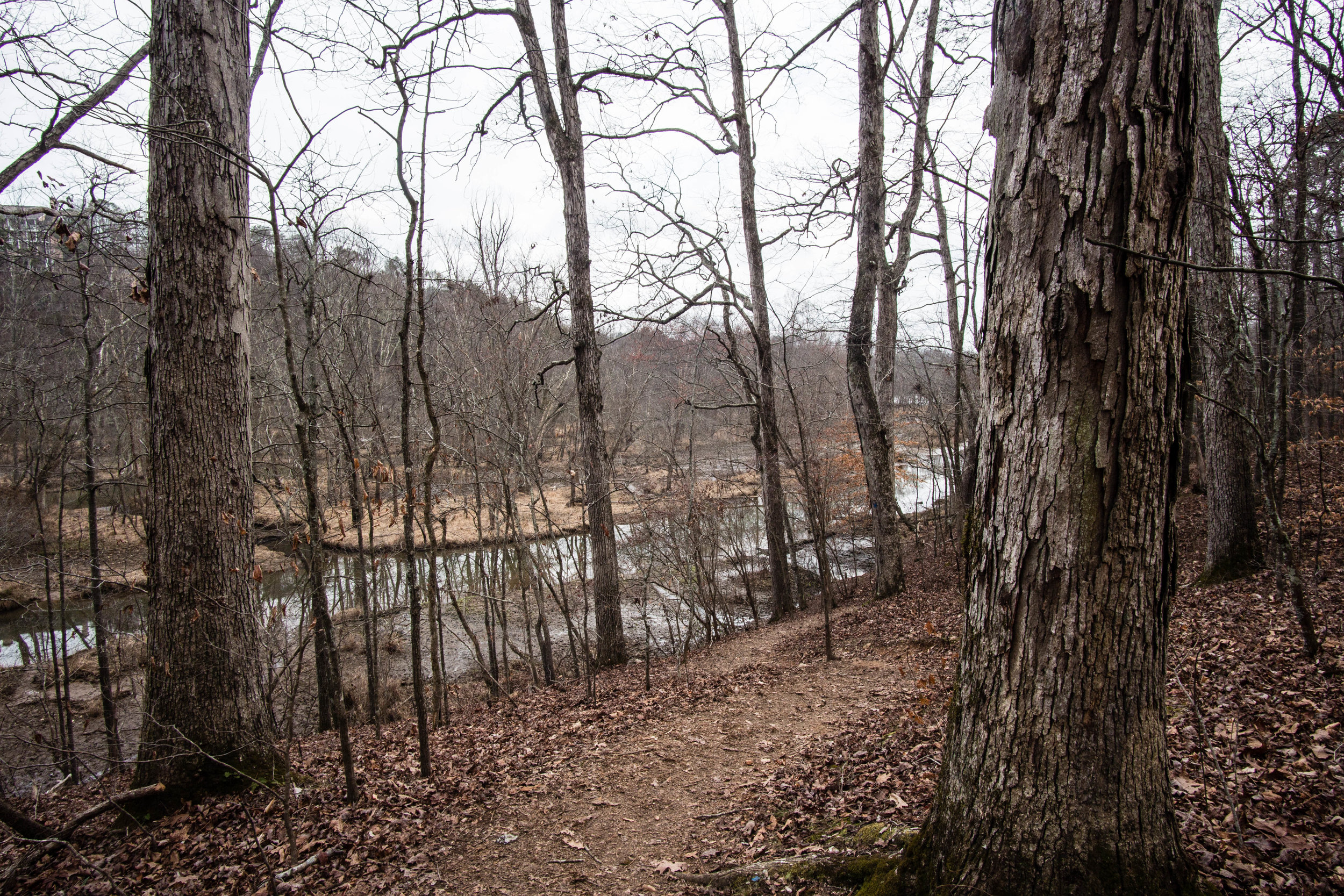
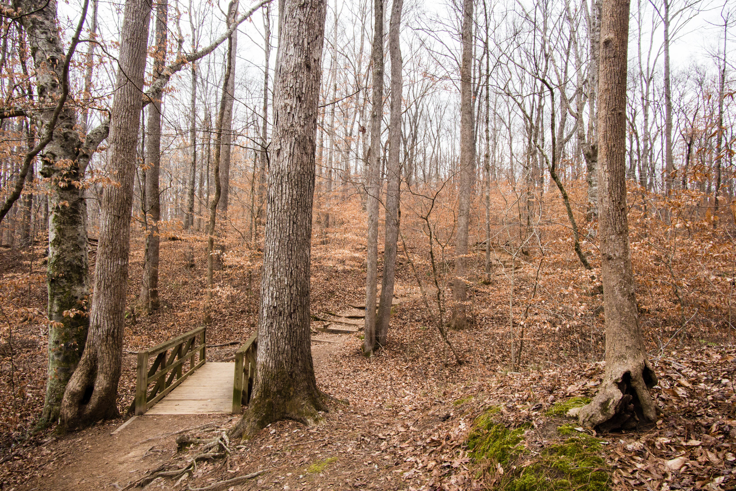
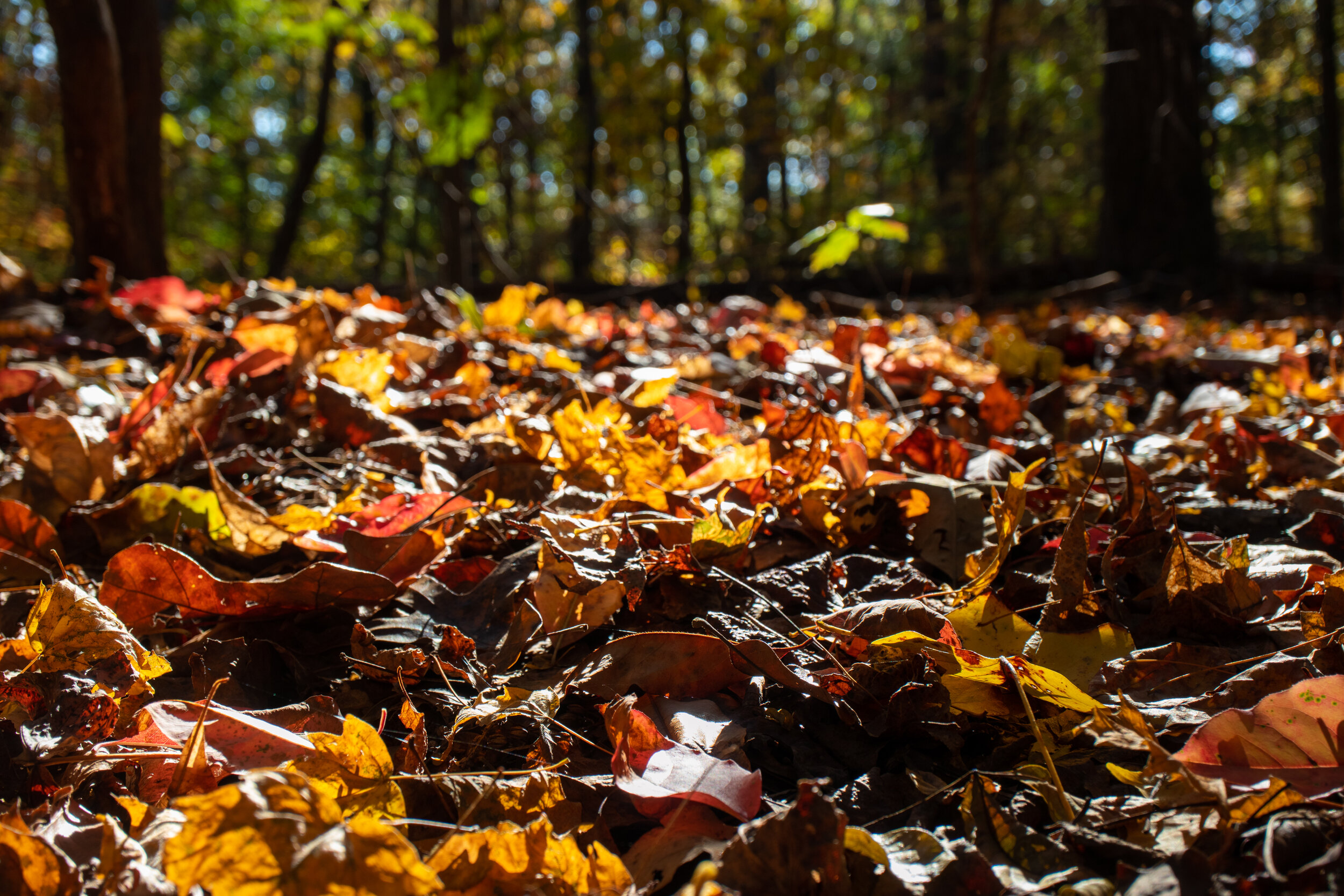
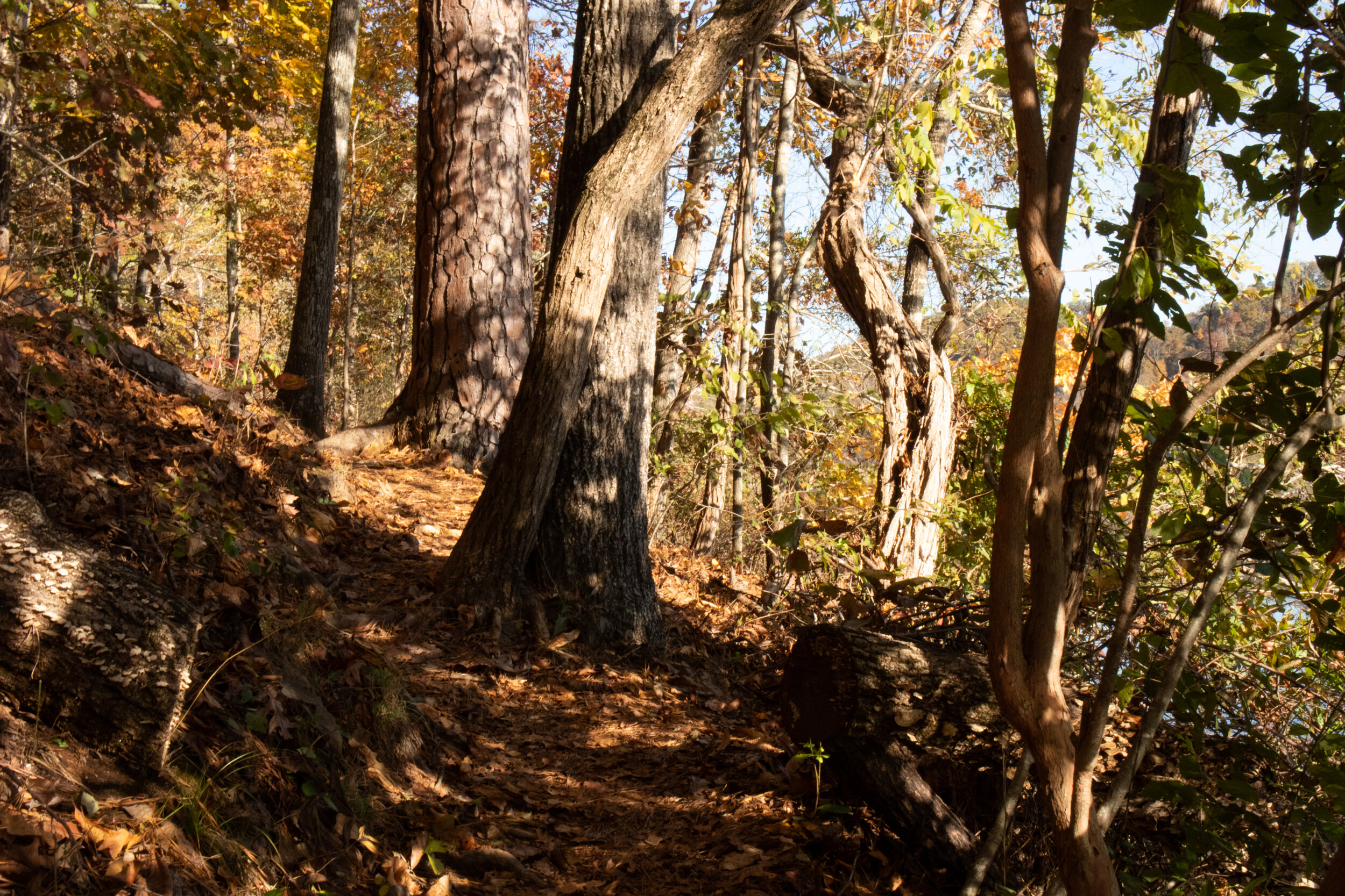
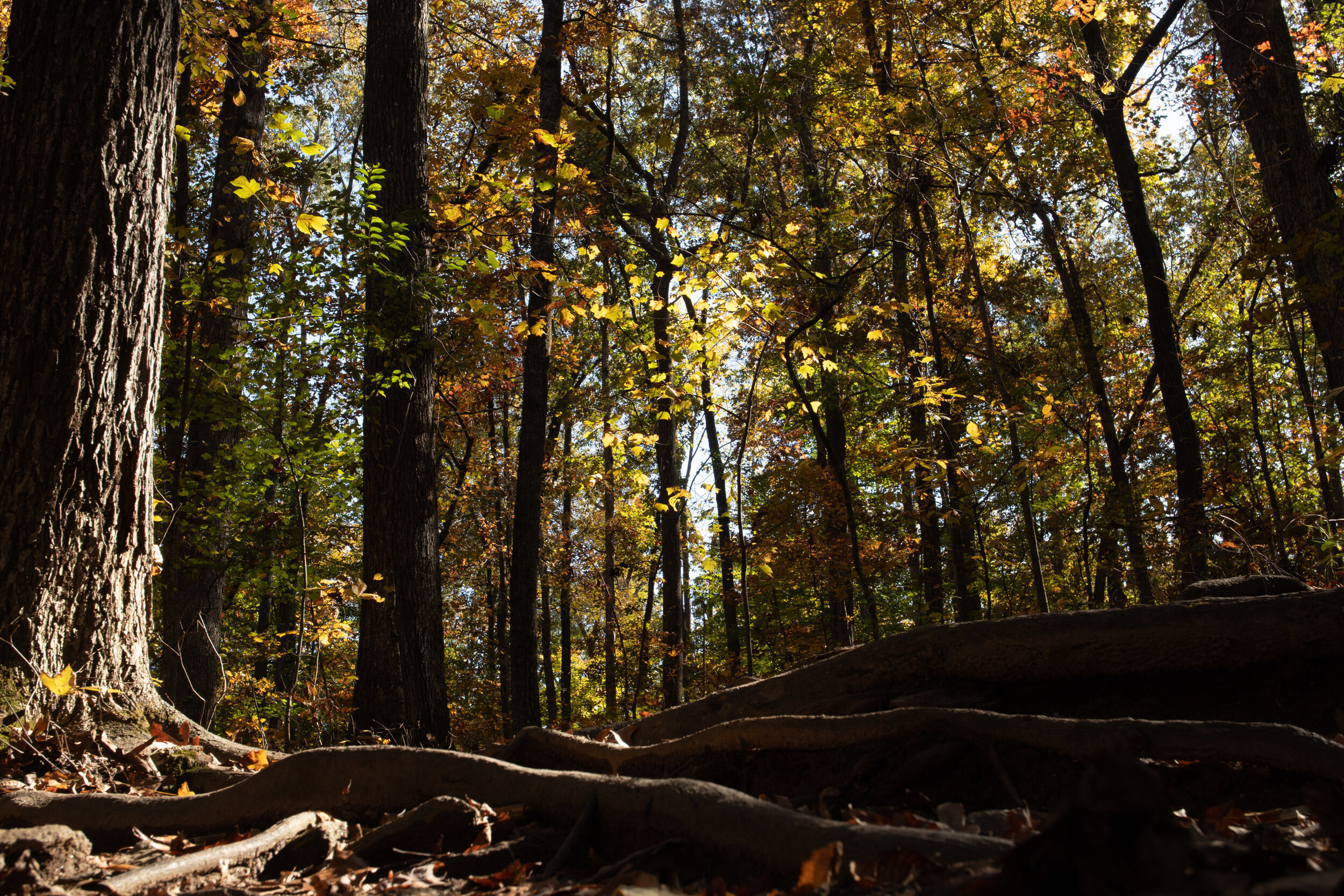
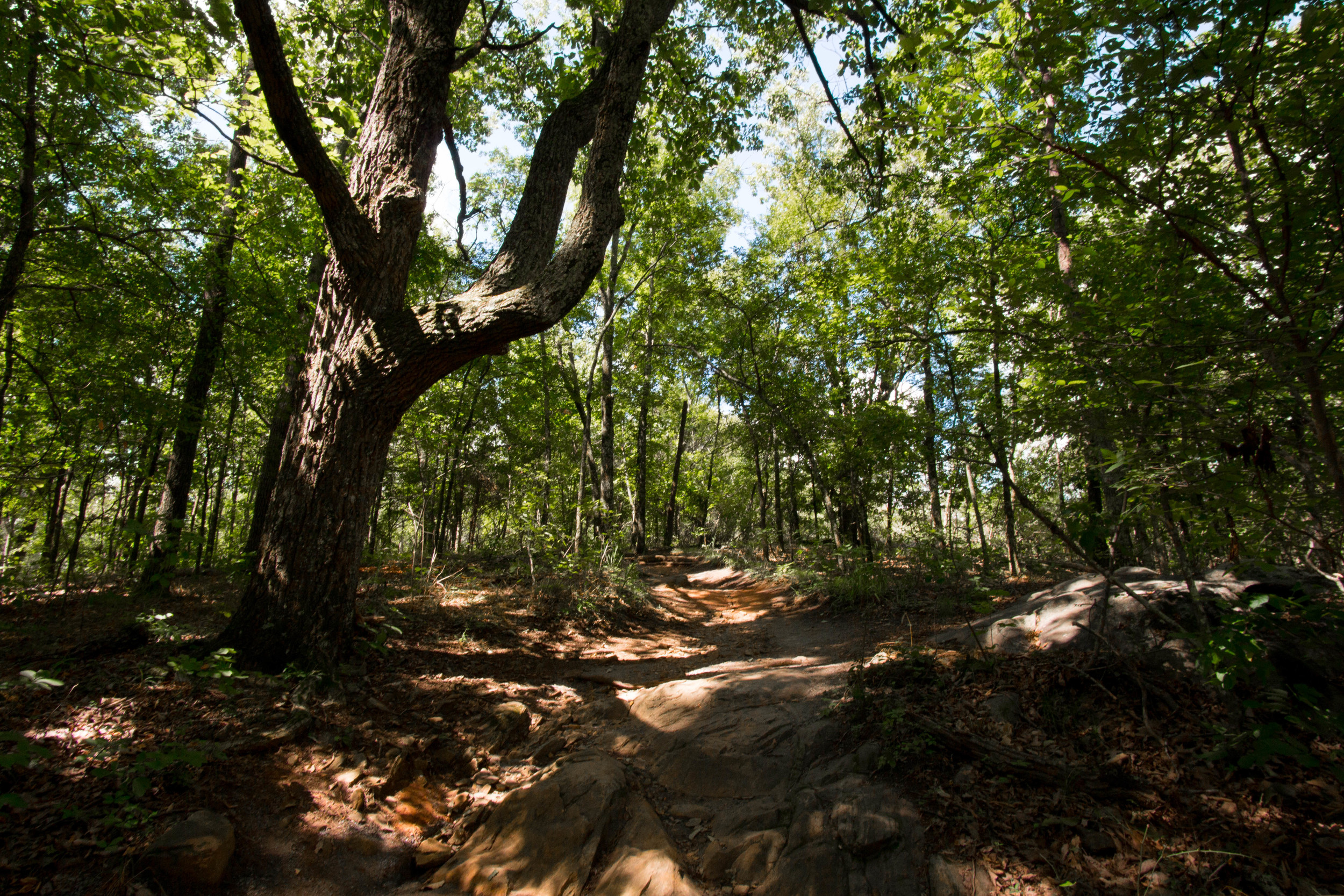
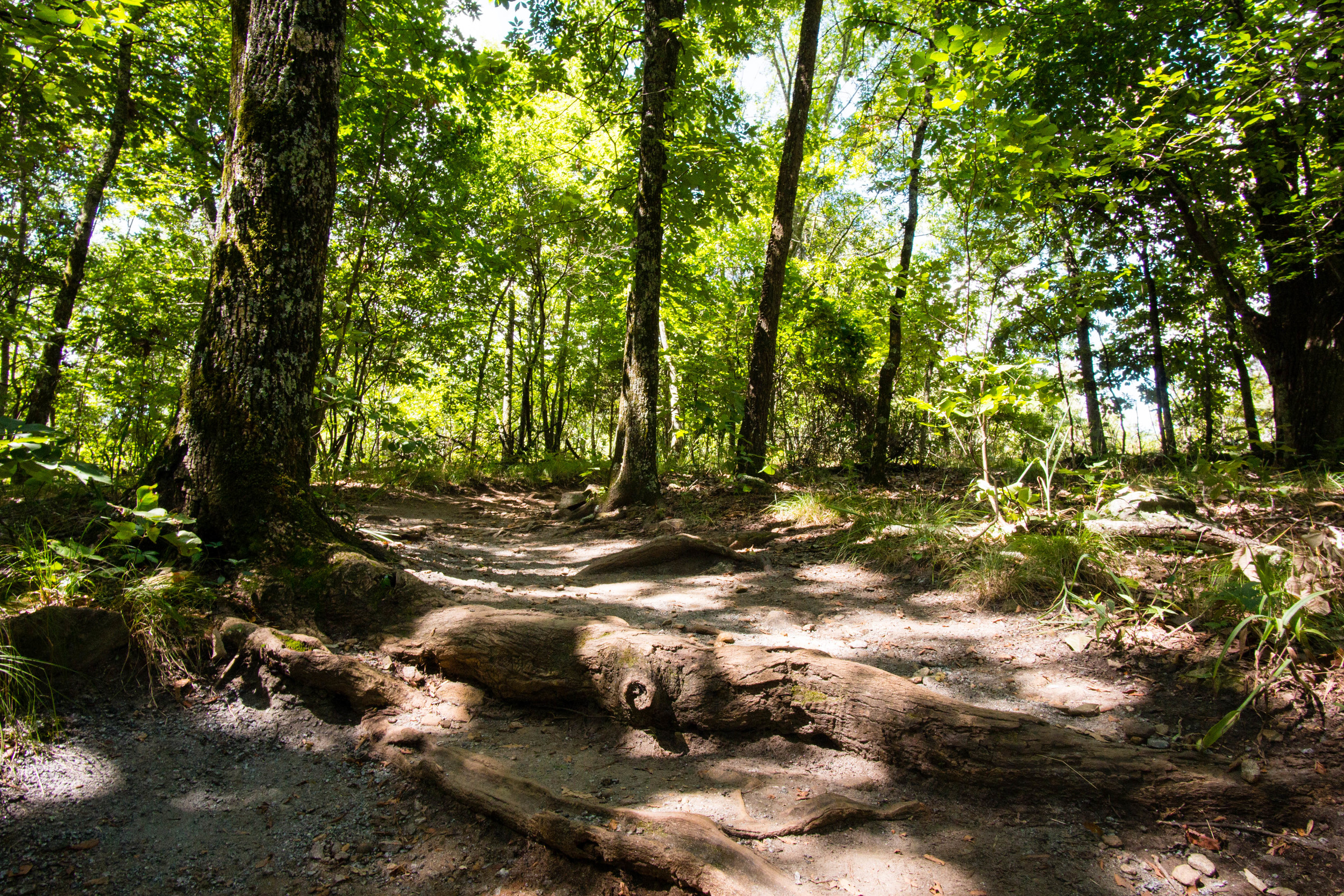
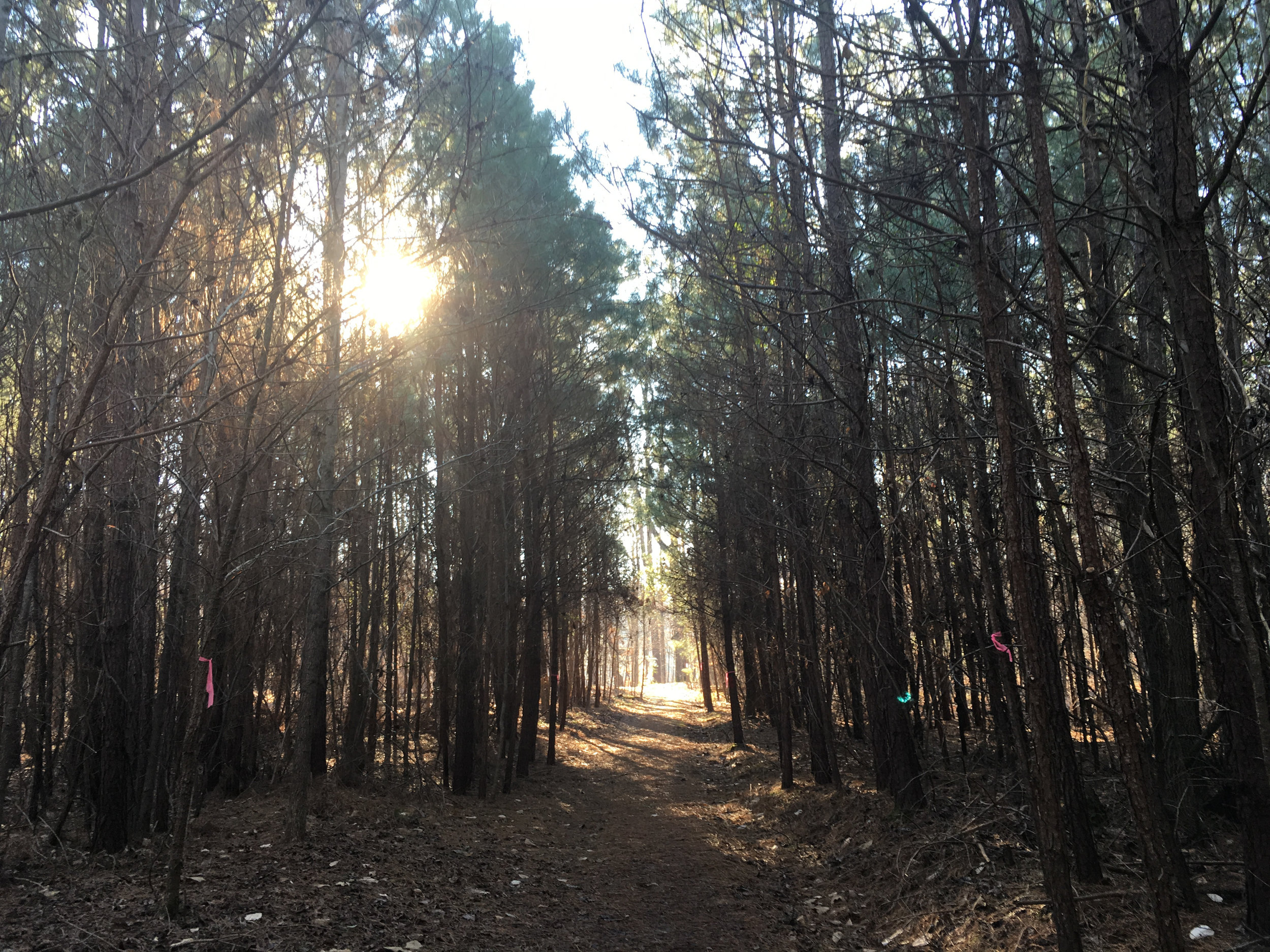
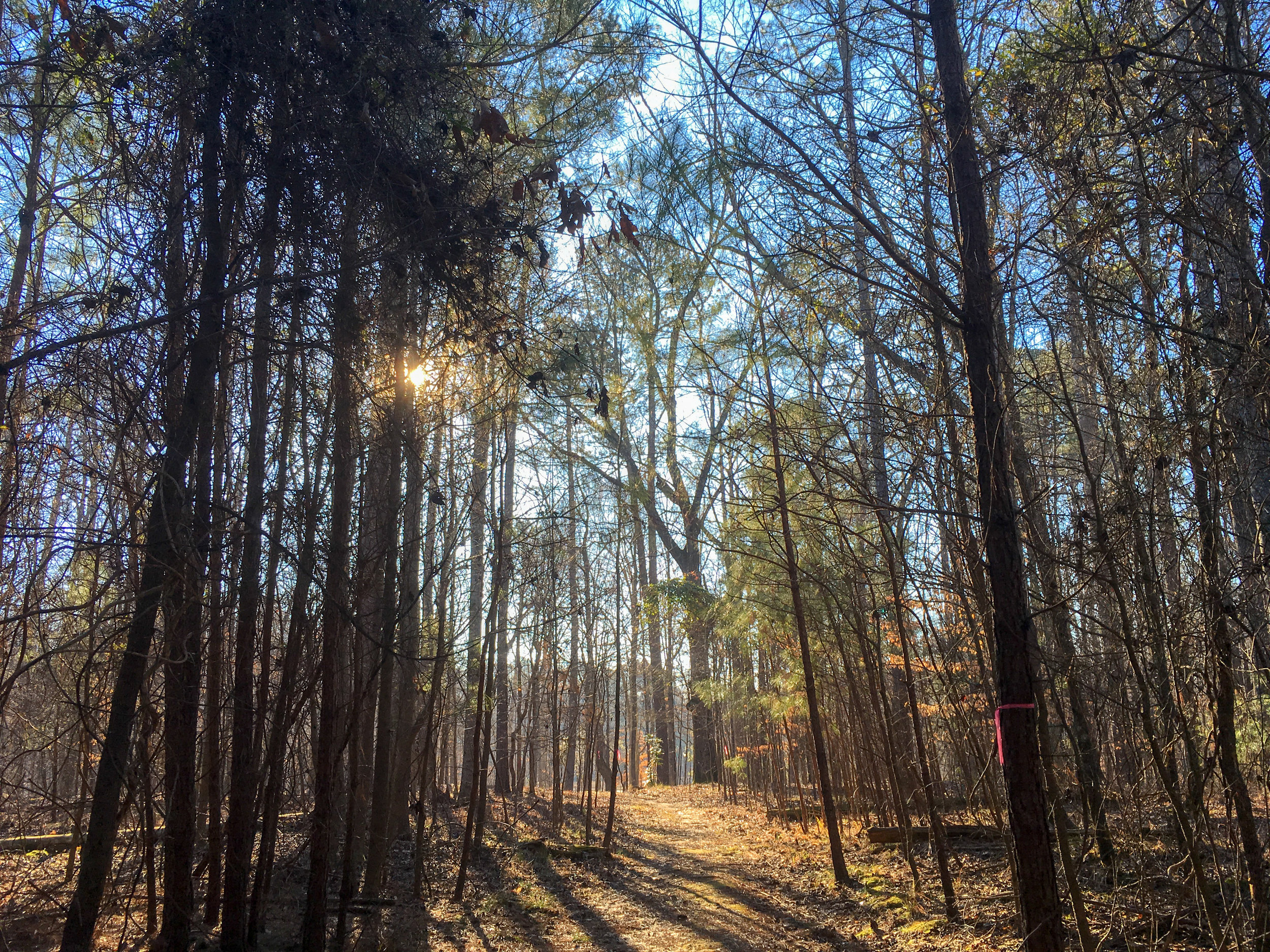
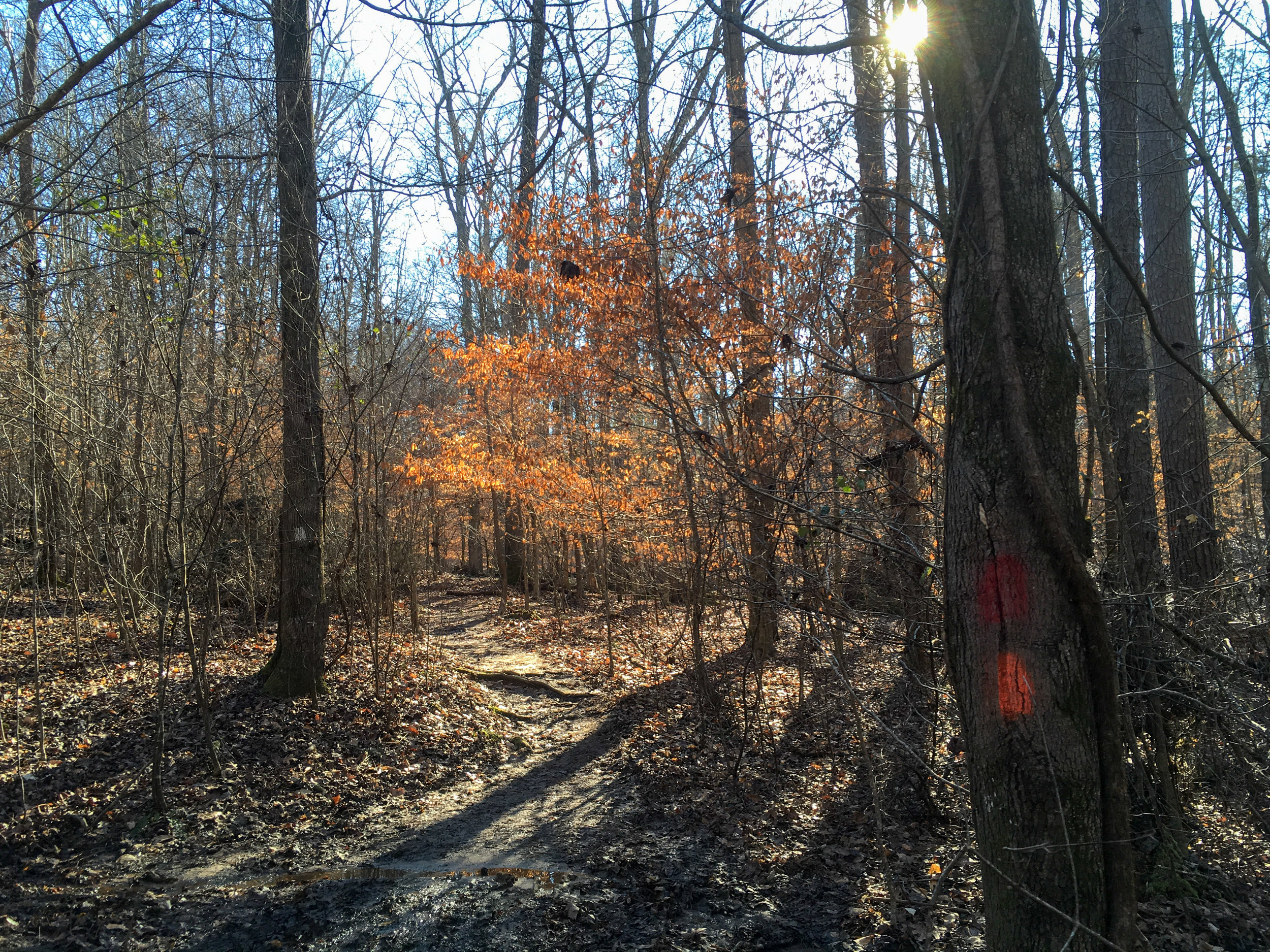
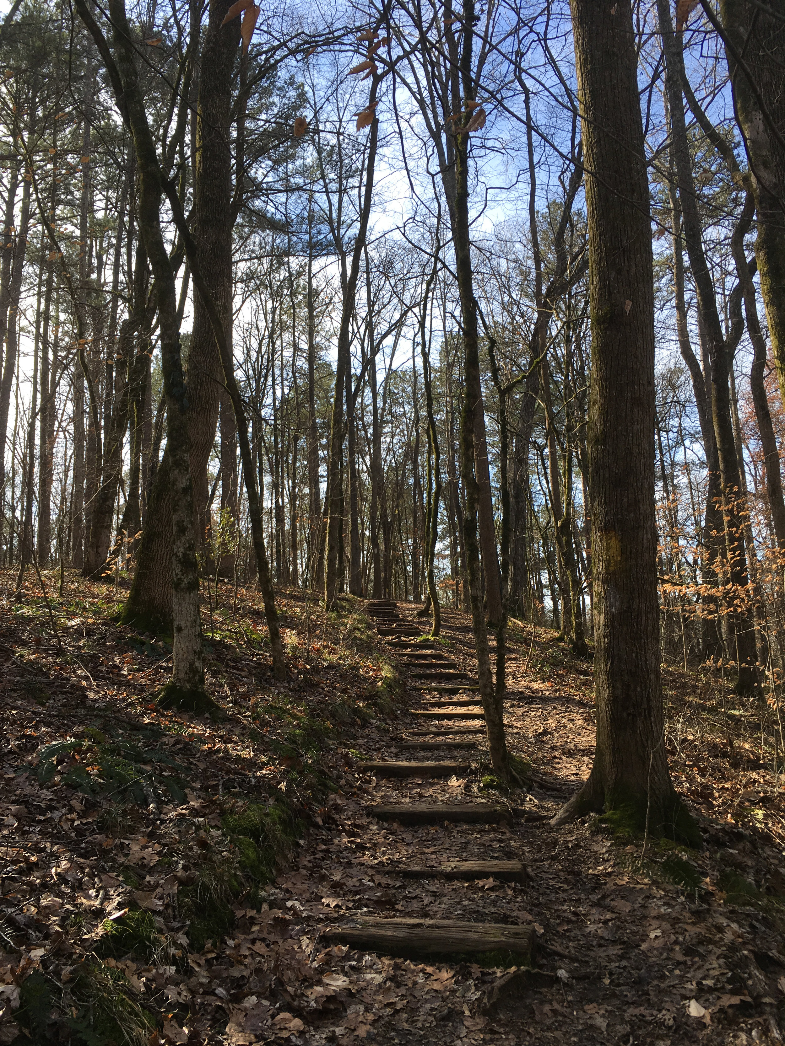
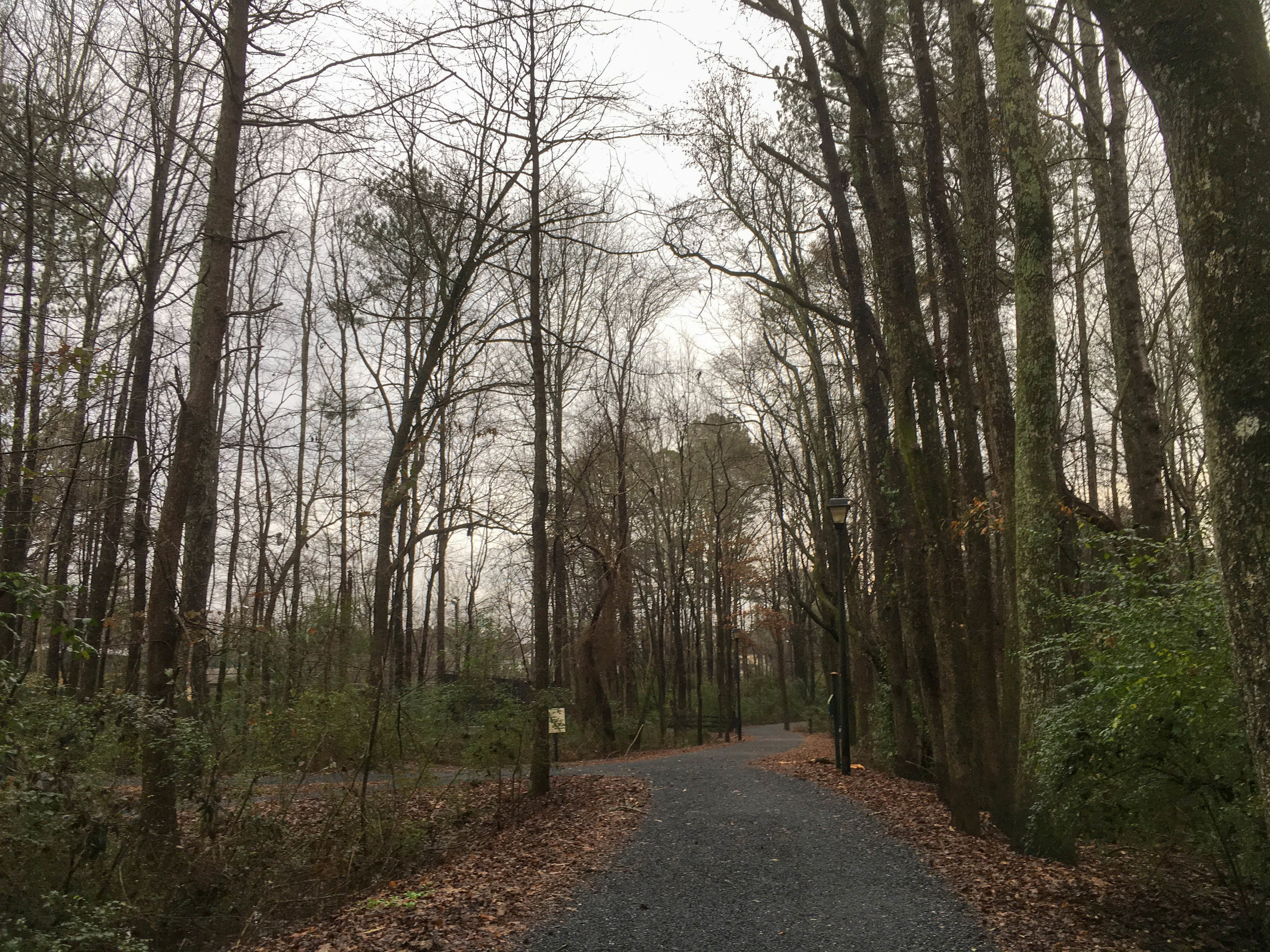
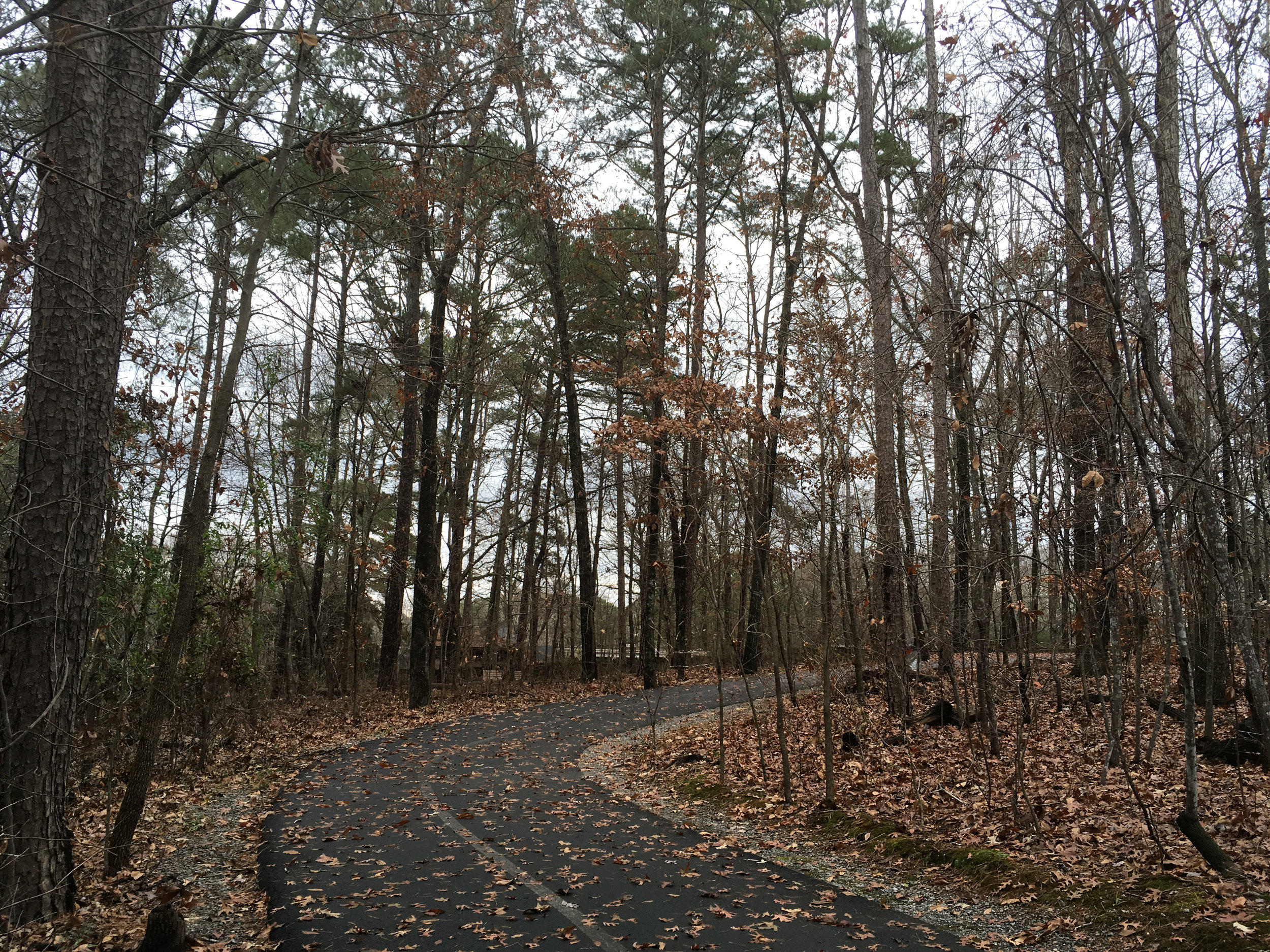
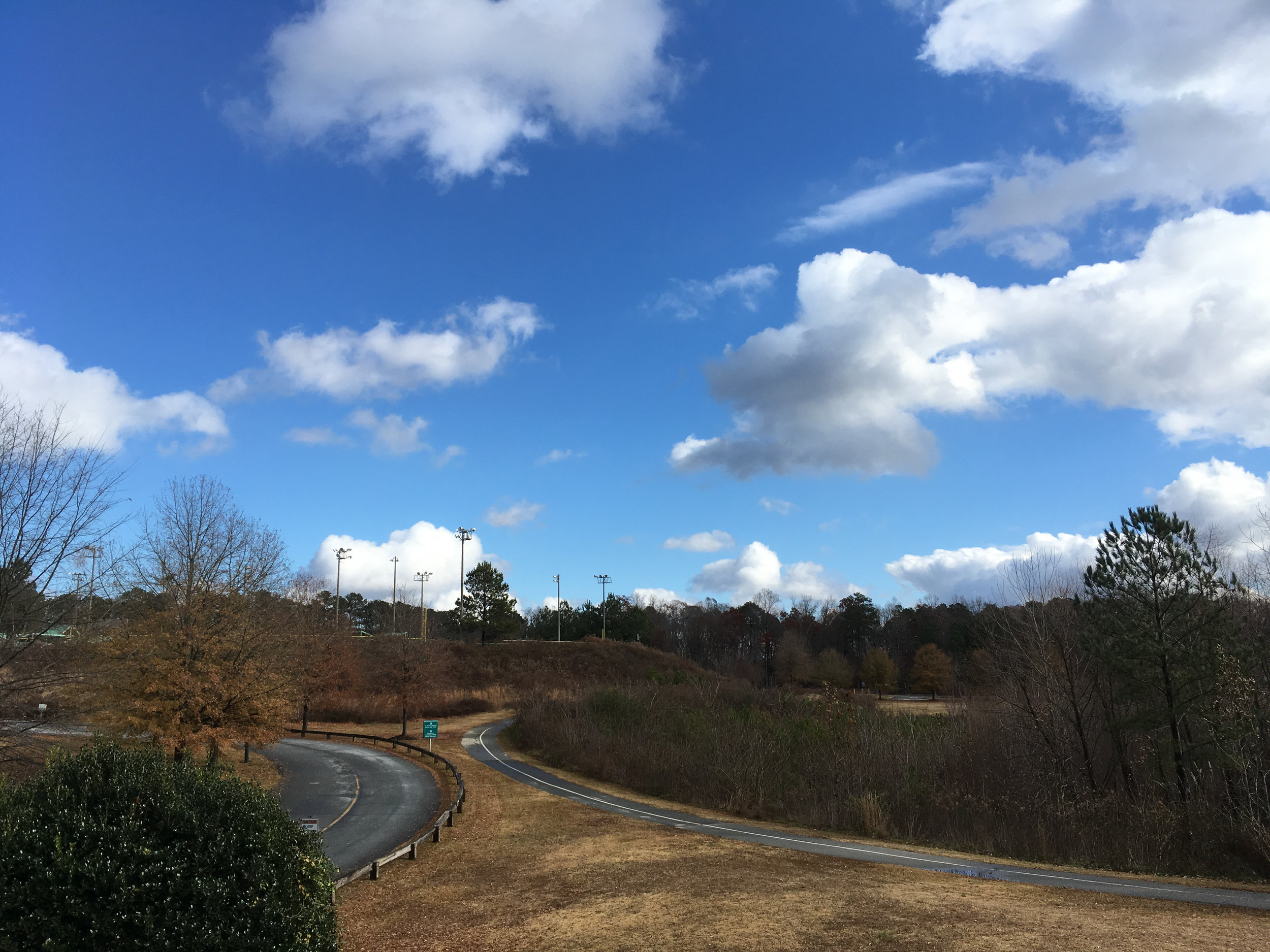
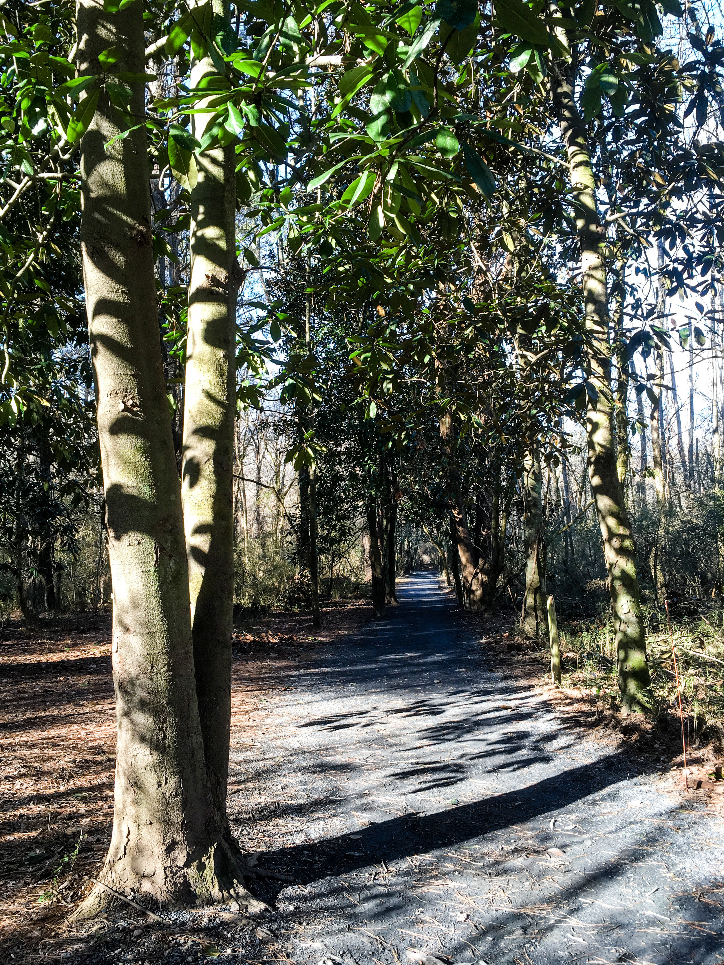
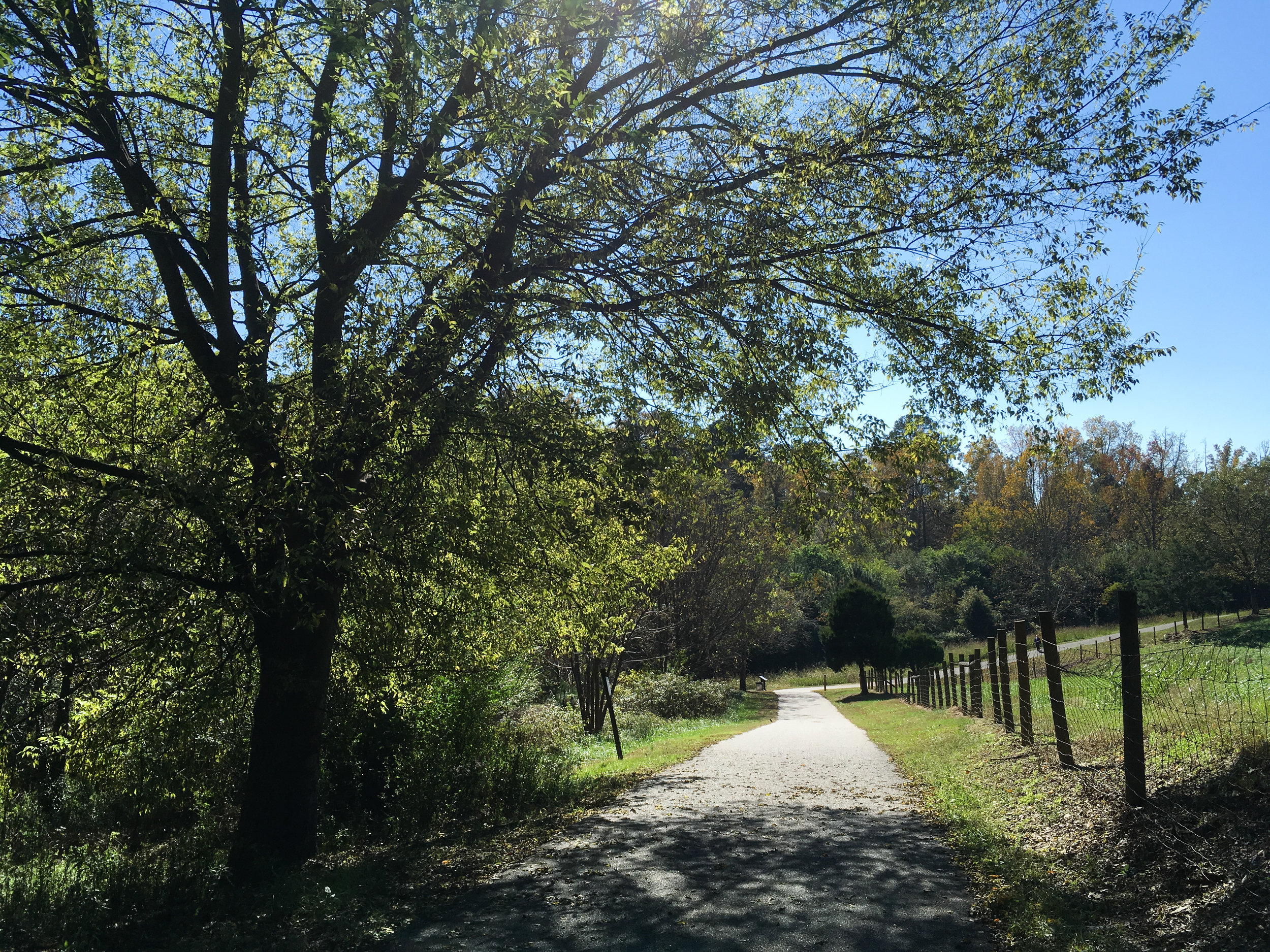
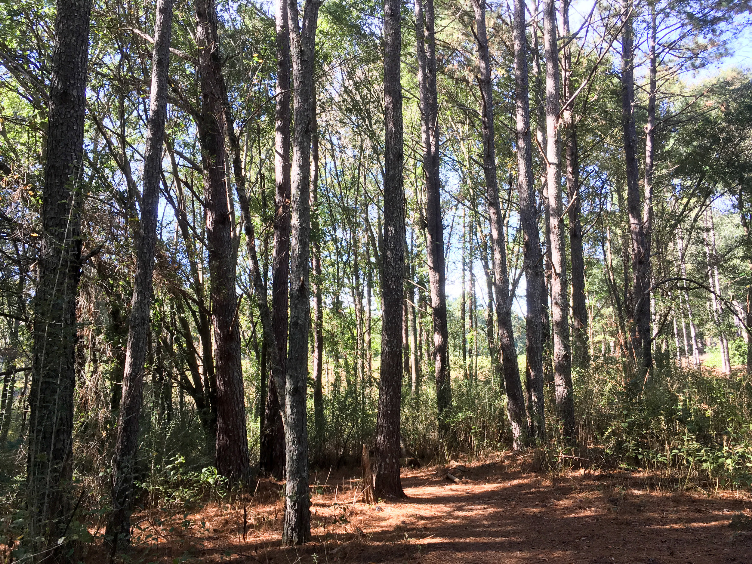
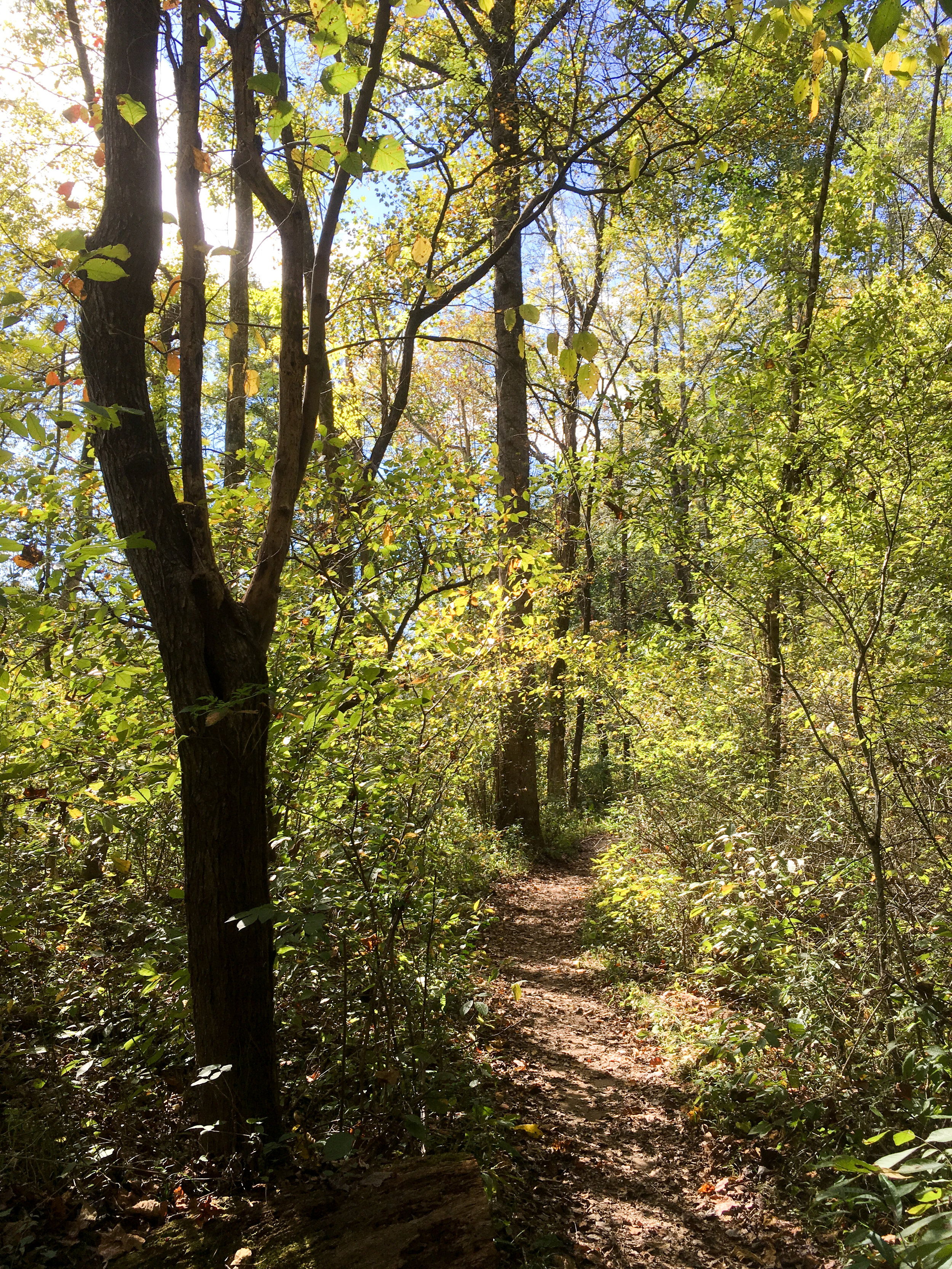
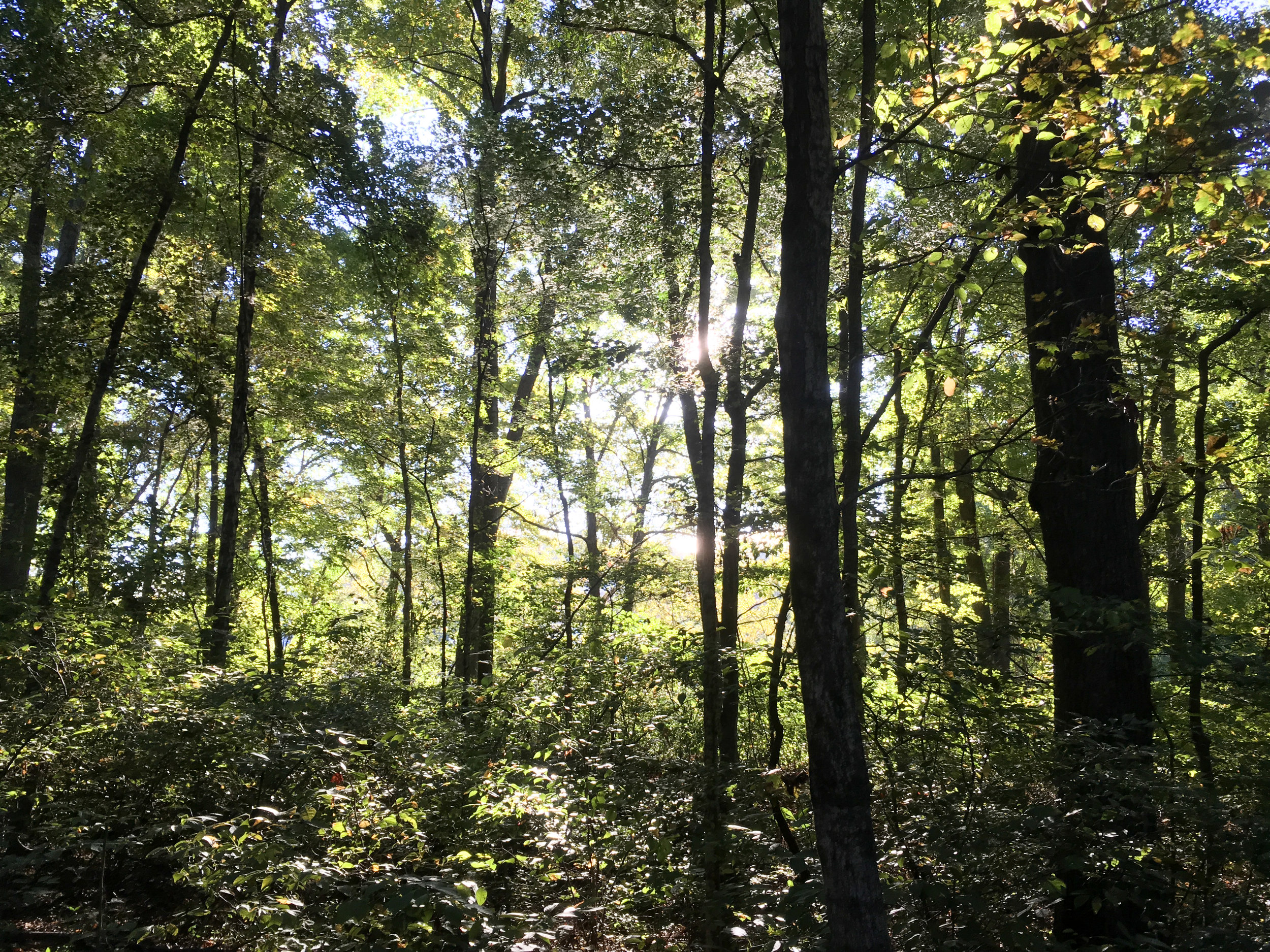
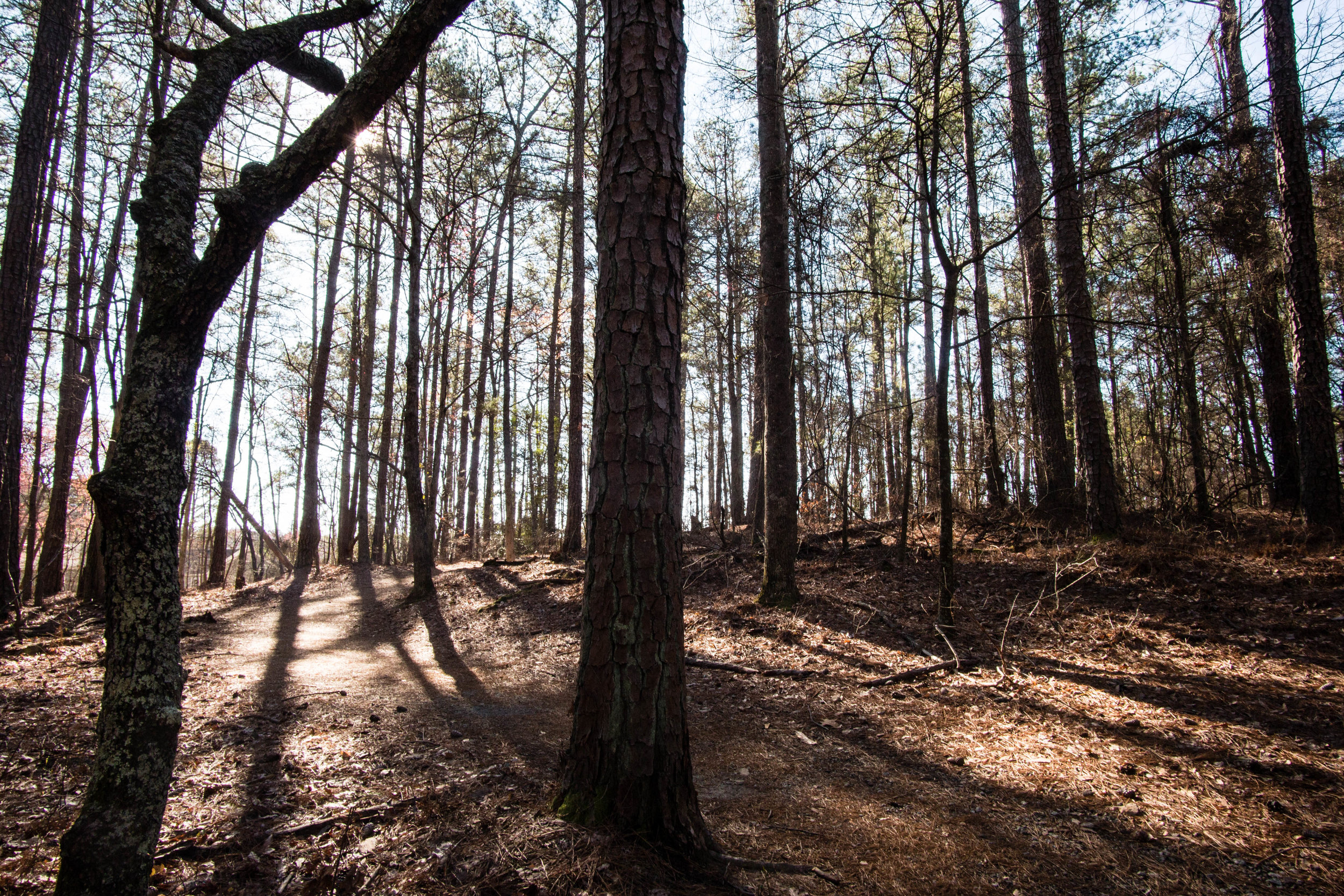
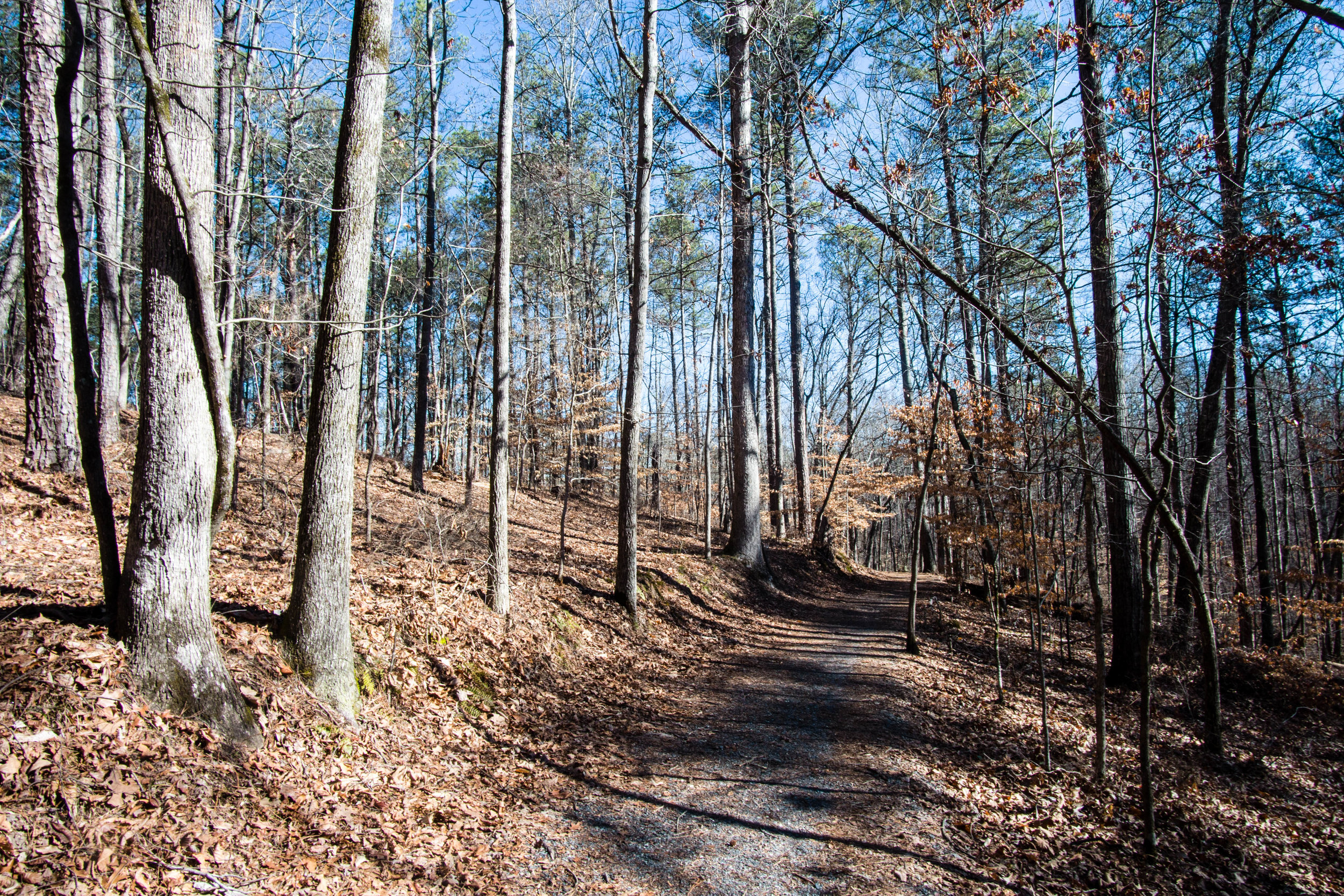
Trail surface: Natural
Blazes/markings: Each trailhead is marked with a map of the unit
Restrooms: There are no restrooms in the Sope Creek unit, but there are restrooms at the Columns Drive and Interstate North trailheads of the Cochran Shoals unit, which connects to Sope Creek
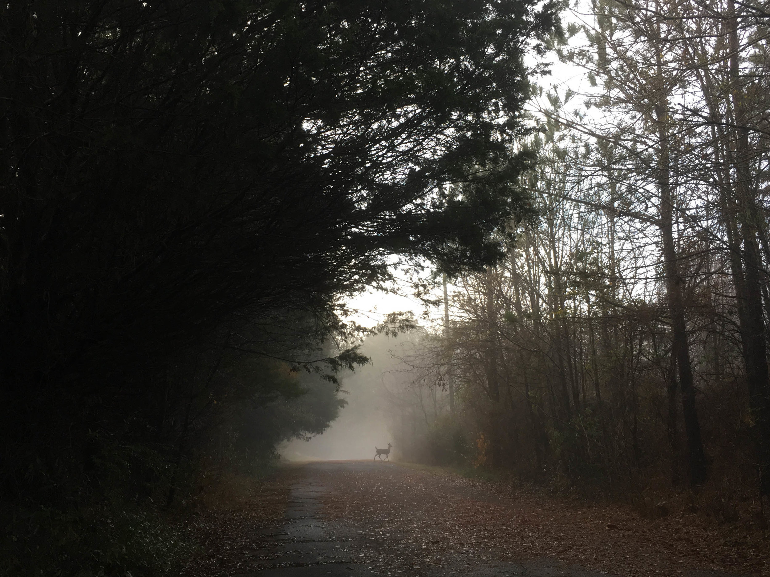
Dogs allowed: Yes, on leash
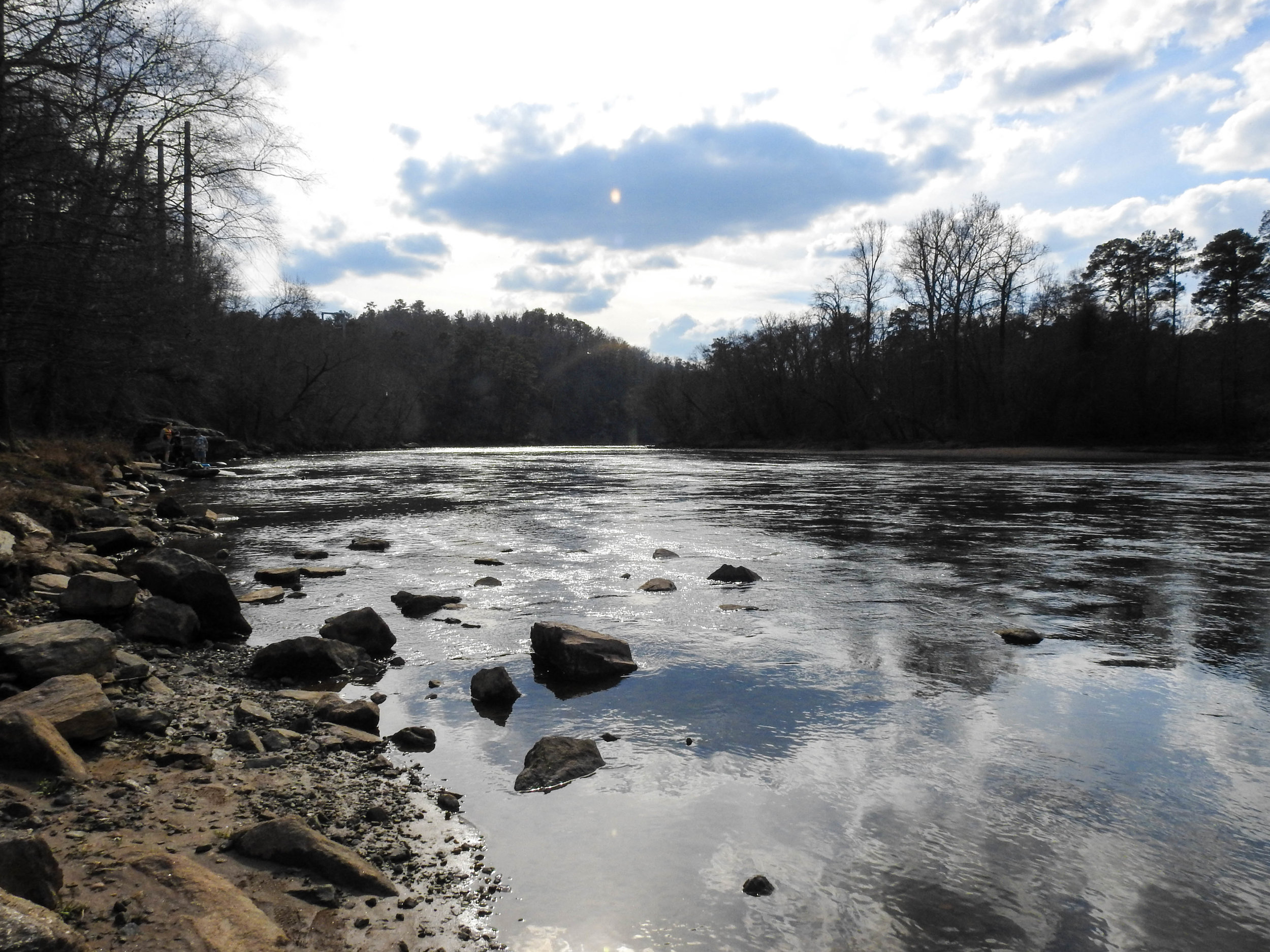
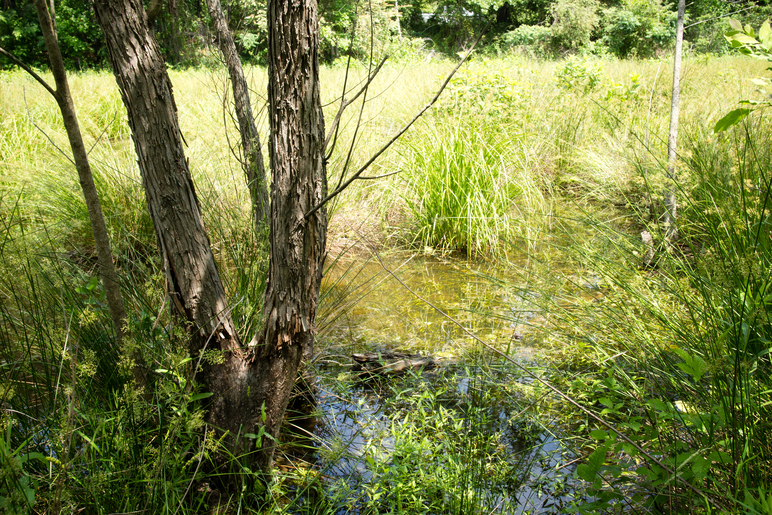
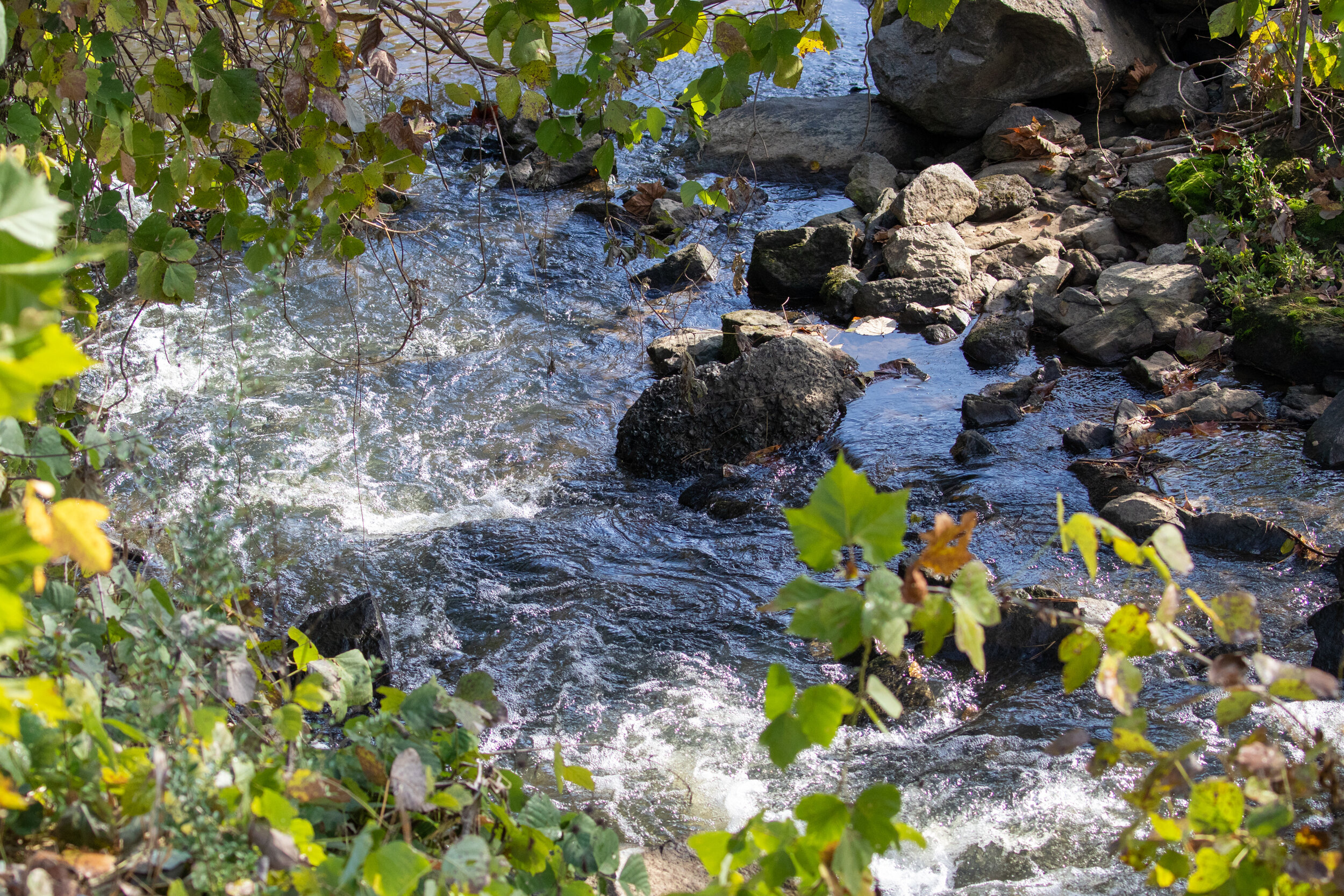
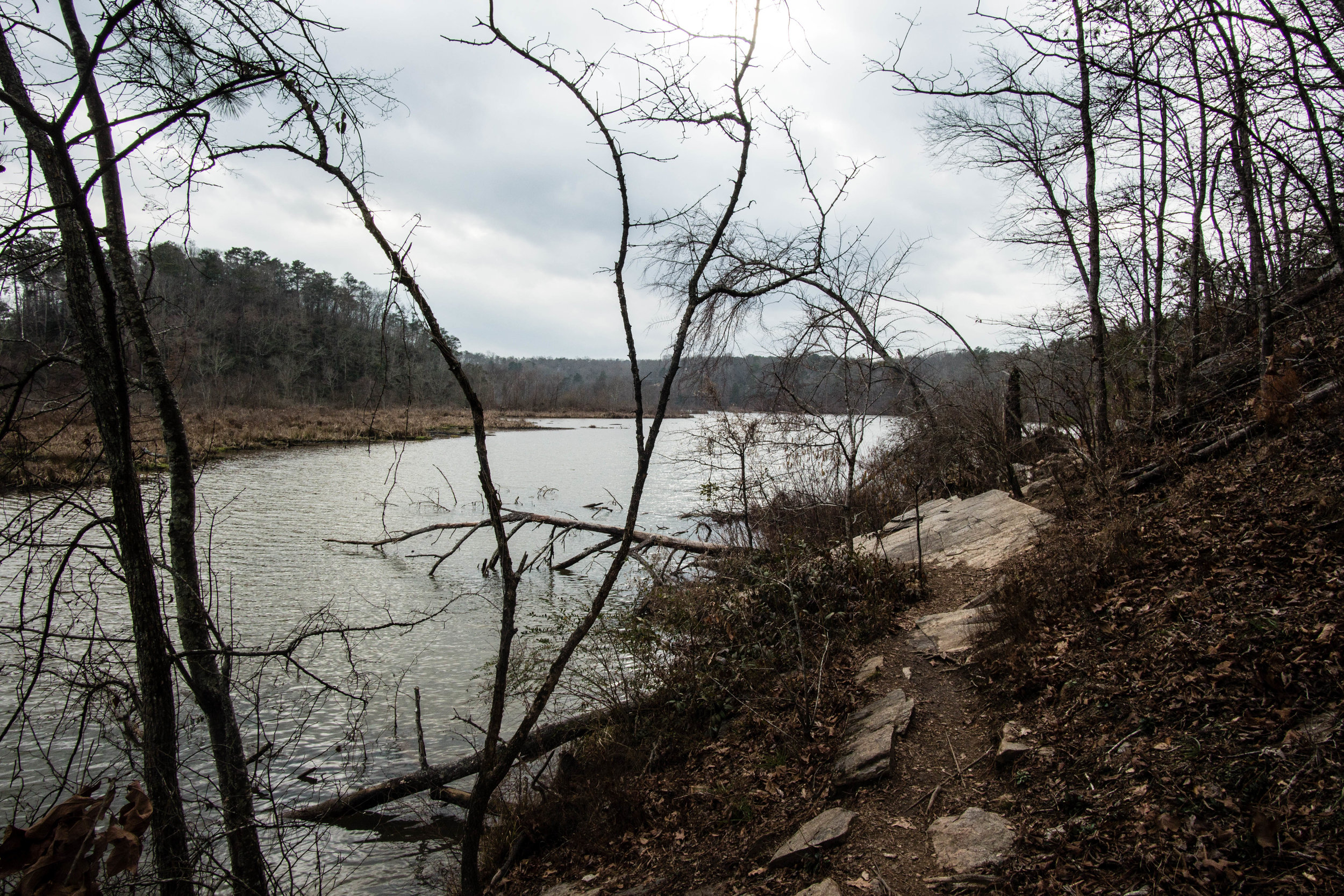
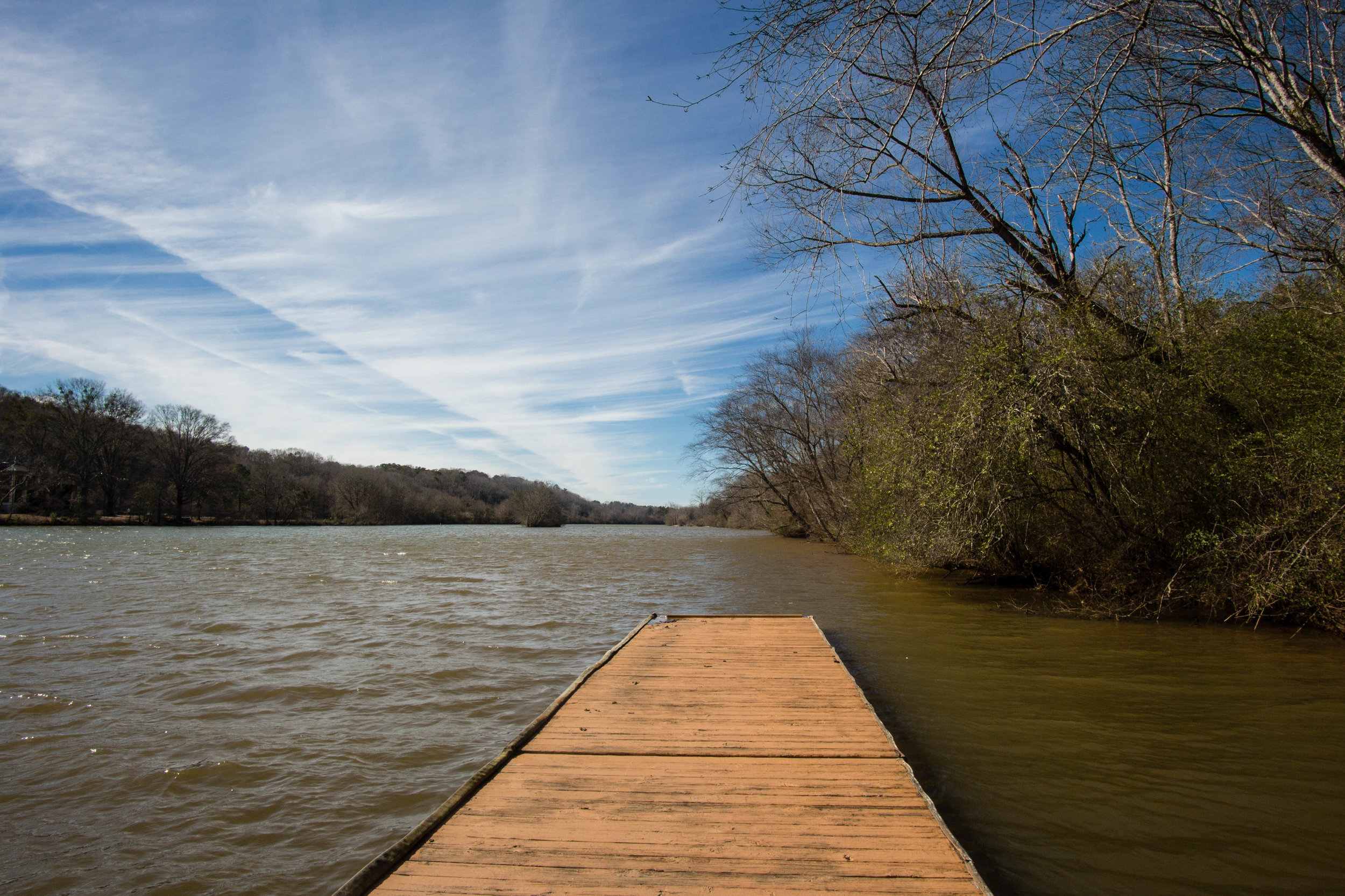
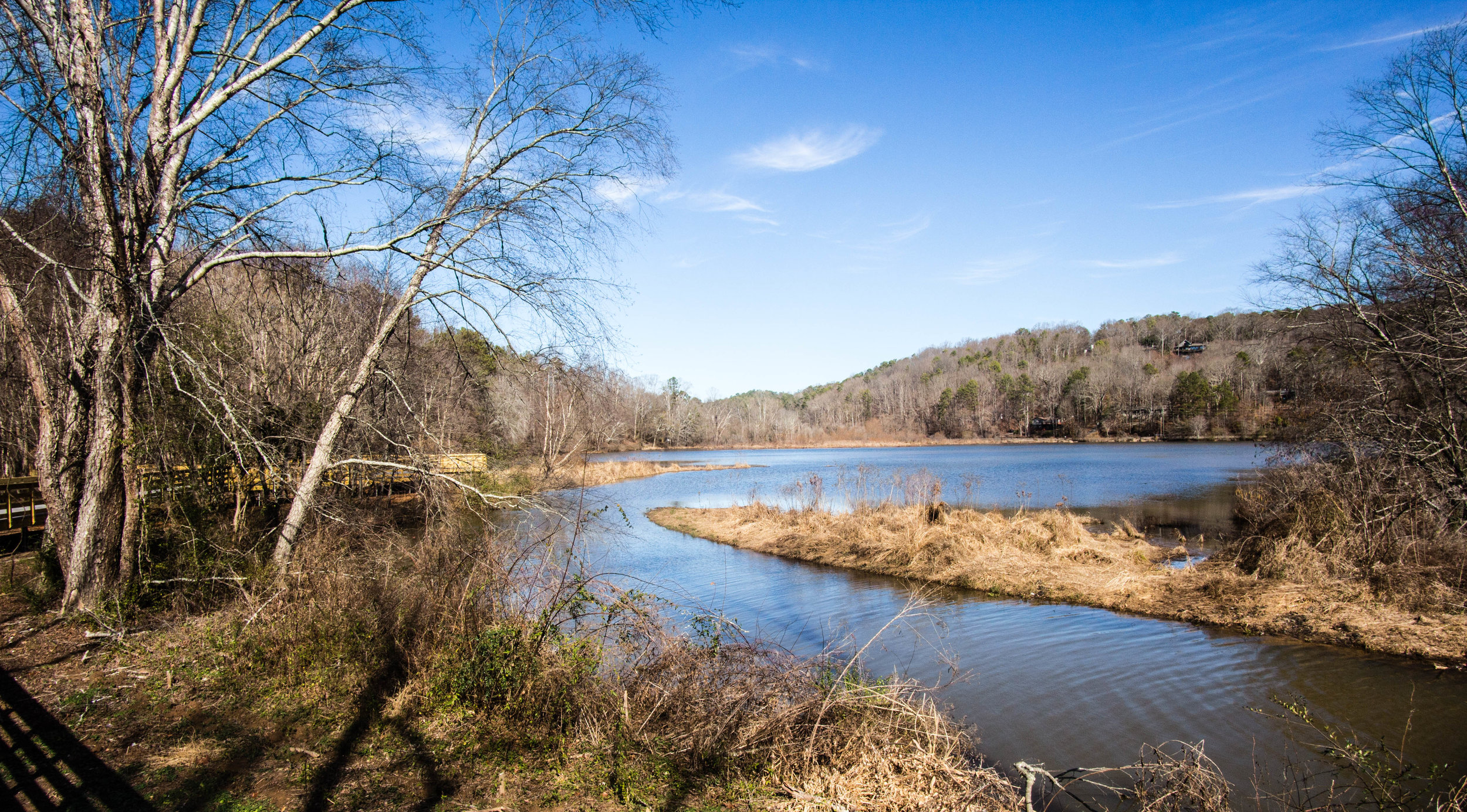
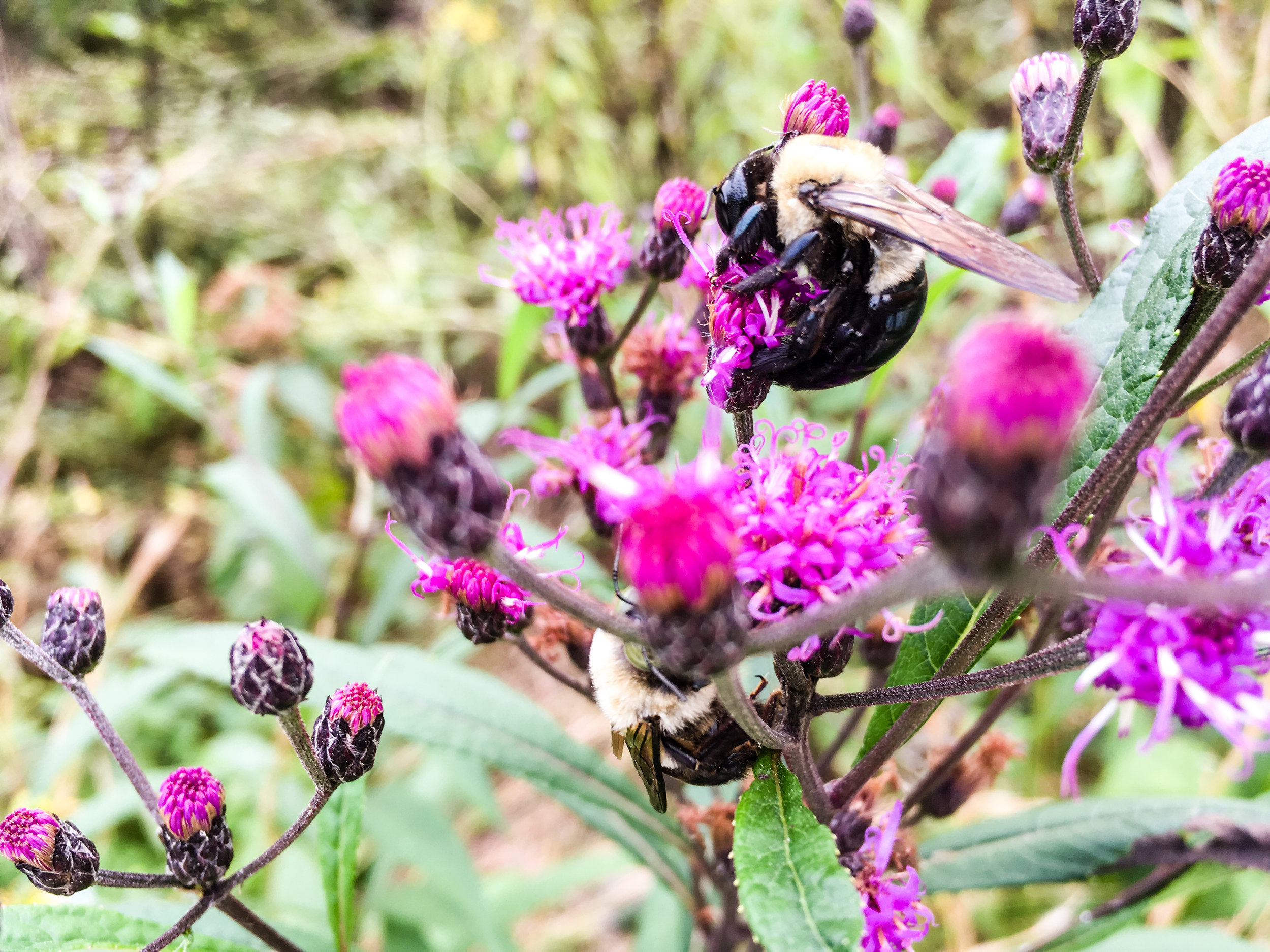
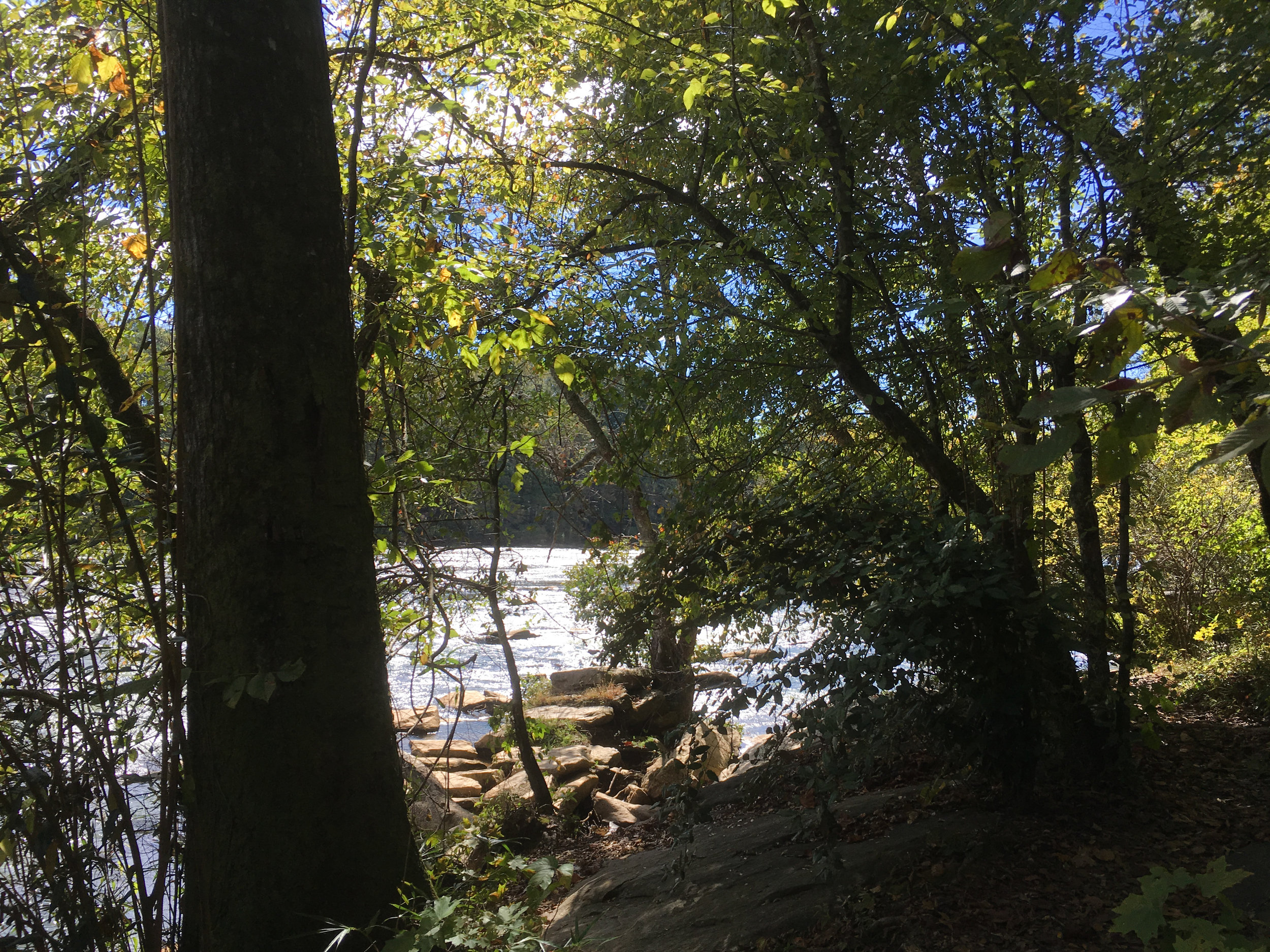
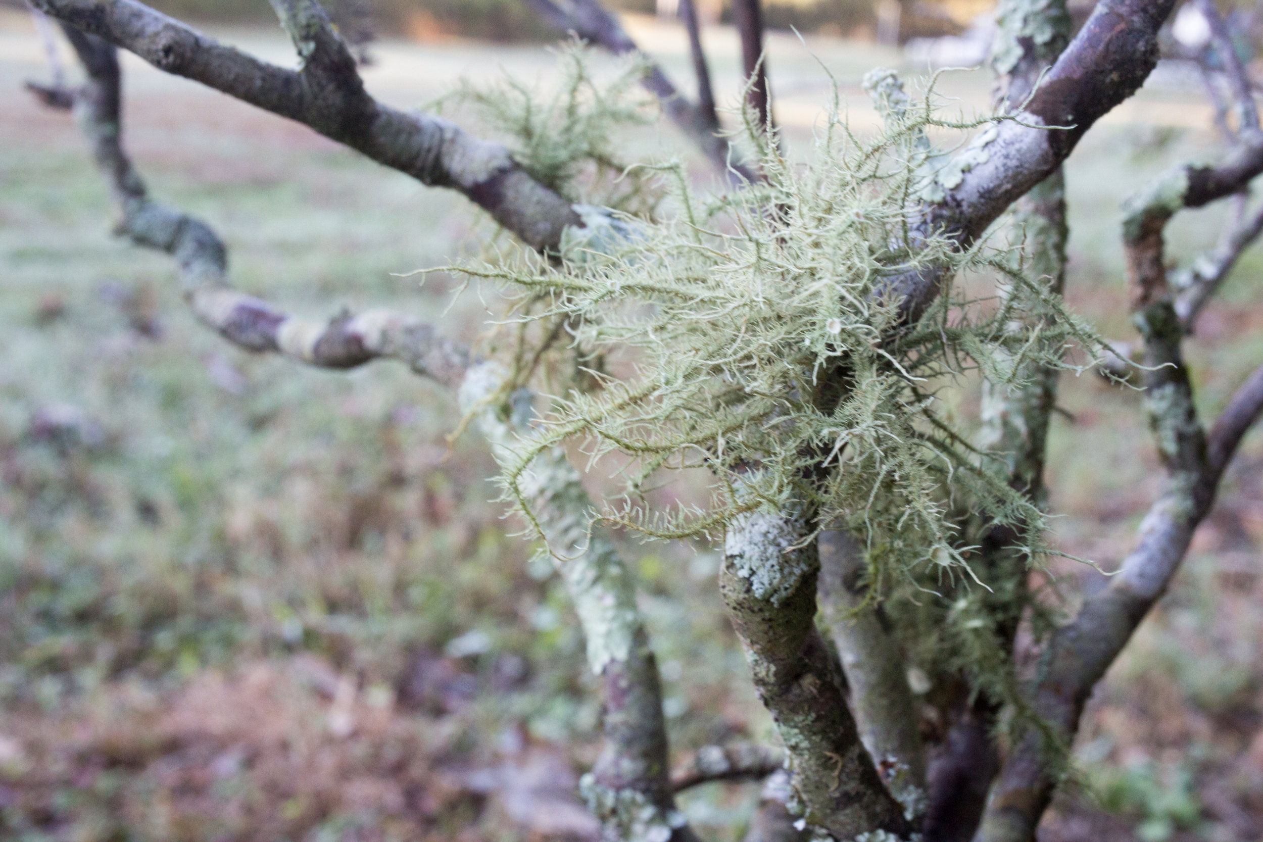
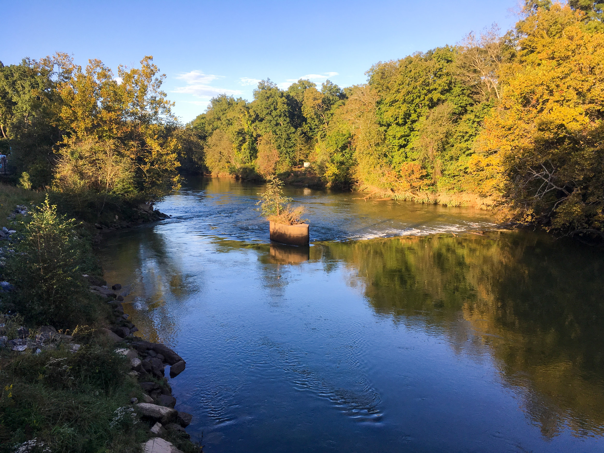
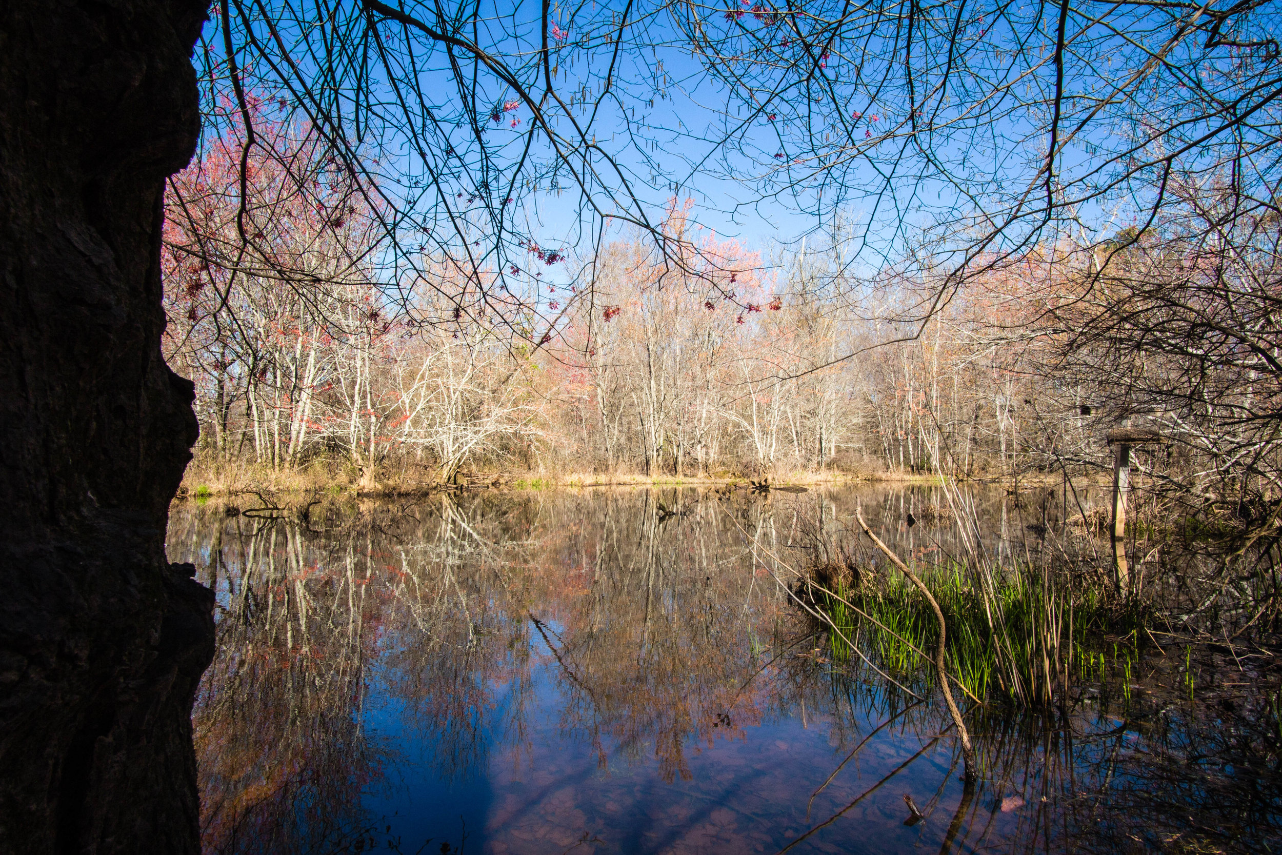
Fishing allowed: Yes
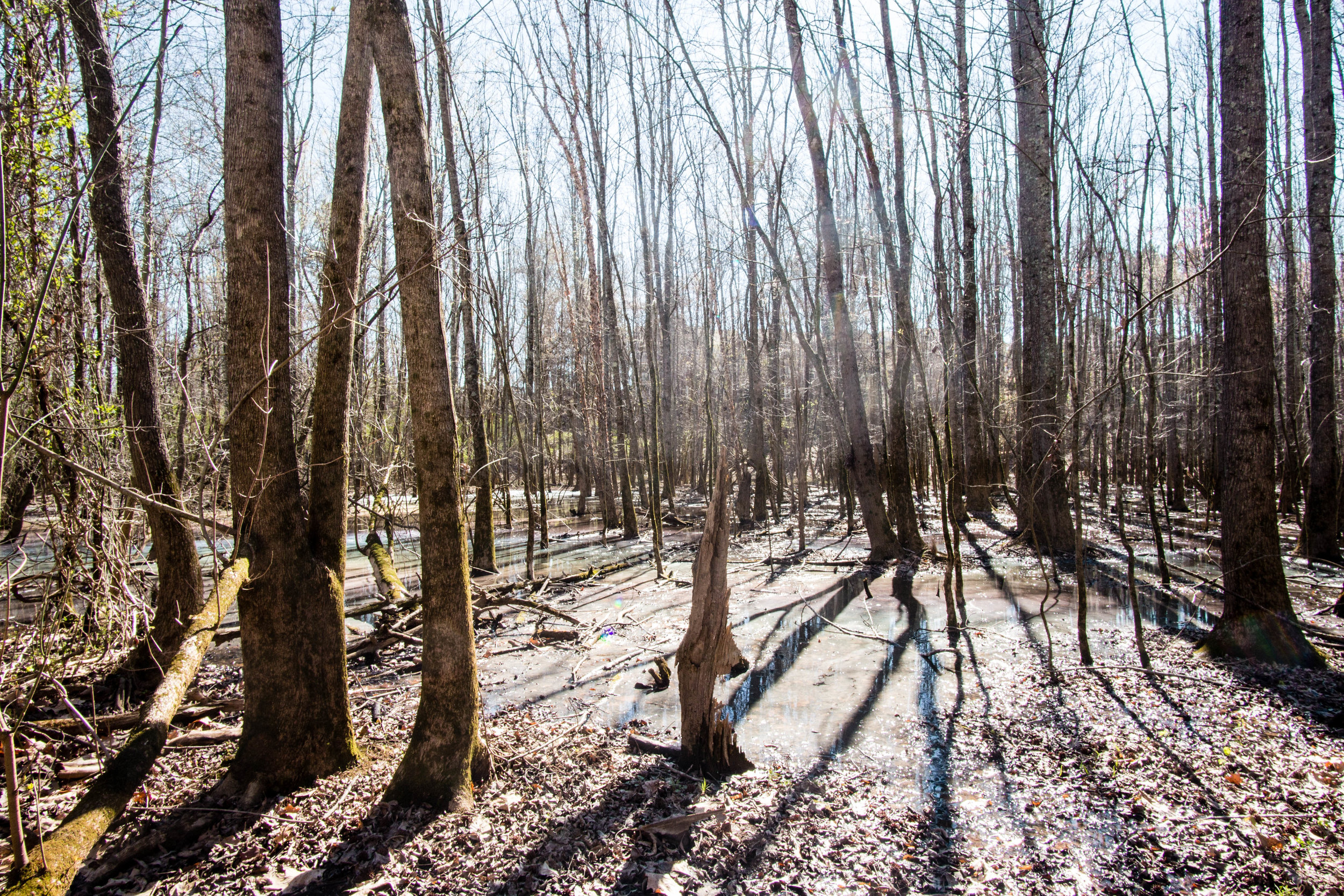
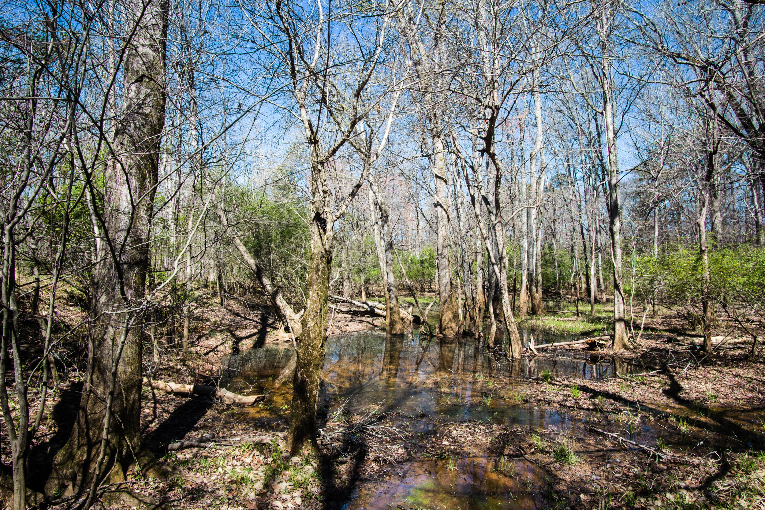
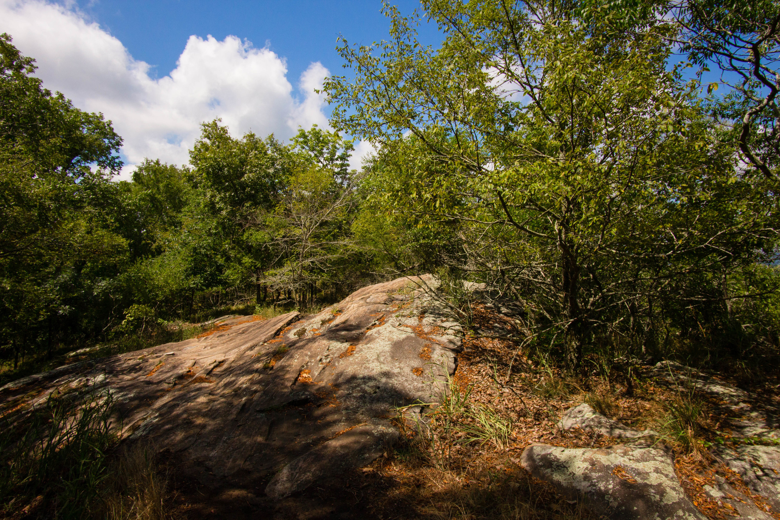
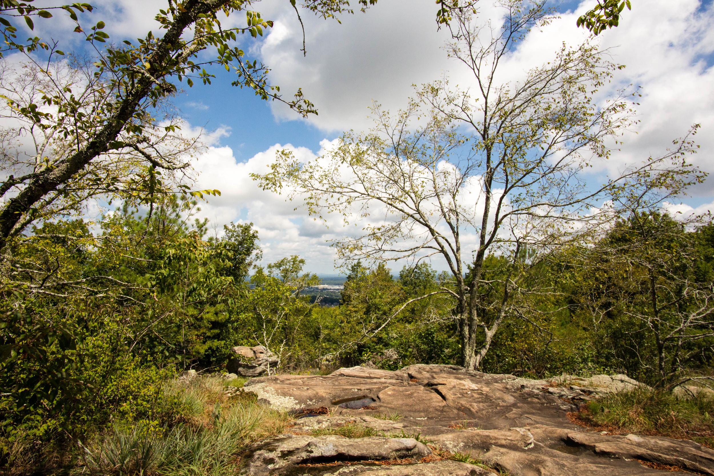
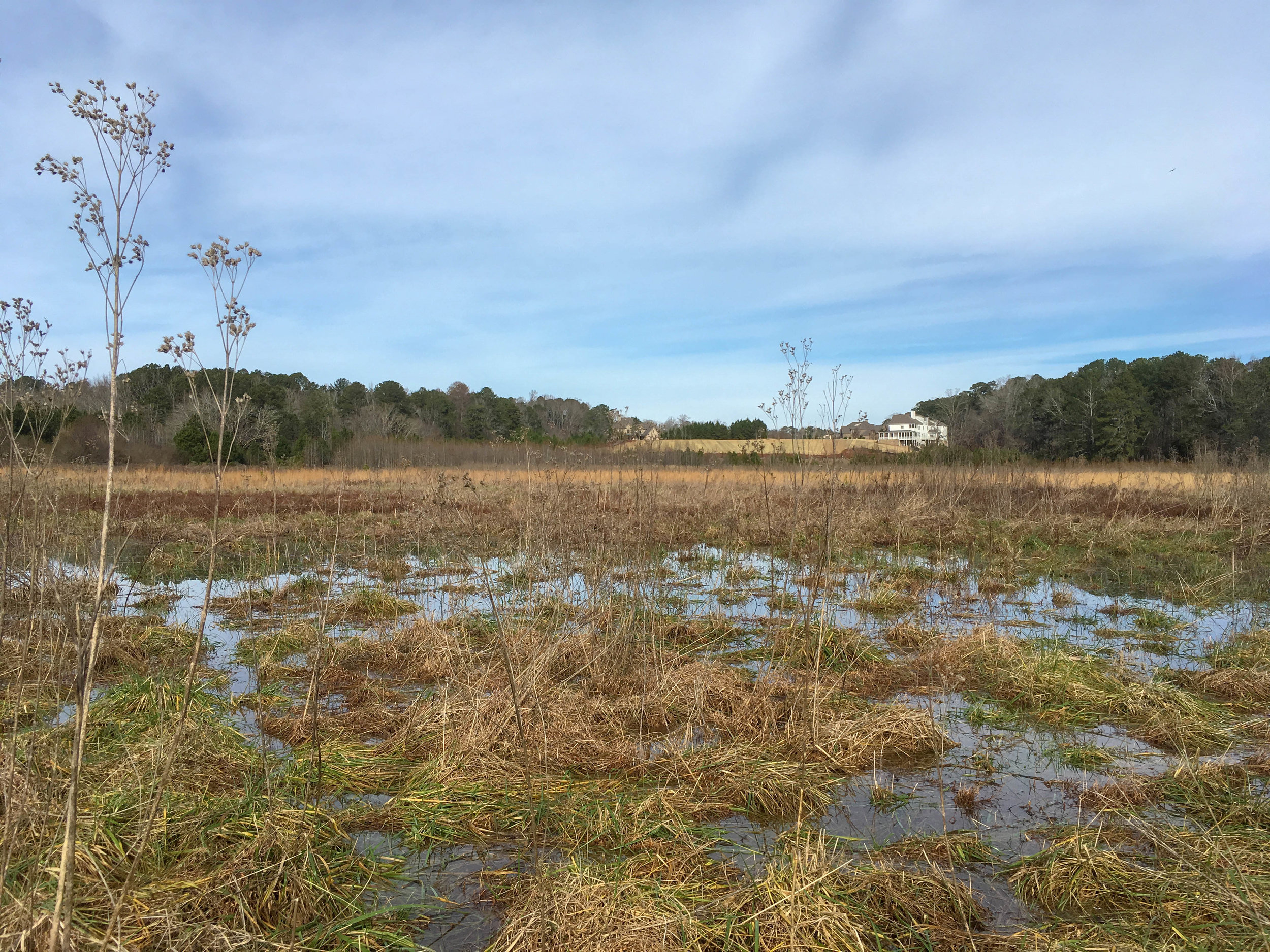
Accessibility notes: Lots of rocks in the trail and uneven surfaces. There are also some fairly steep sections. Some muddy sections as well, depending on recent weather.
Guidebook mentions: Chapter 54 in Hiking Atlanta's Hidden Forests (1st edition), page 84 in Hiking the Hooch (1st edition), trip 81 in Afoot & Afield Atlanta (2nd edition)
Links:
Map notes:
The yellow trail is one-way. The direction alternates by day. As of September 2021, hikers go clockwise on Tuesday, Thursday, and Saturday, and counter-clockwise on Sunday, Monday, Wednesday, and Friday. Mountain bikers ride in the opposite direction.
As of September 2021, some of the trails shown on OpenStreetMap (and therefore on this map’s basemap) are not present. To my knowledge, only the trails I’ve marked on the overlay are usable.

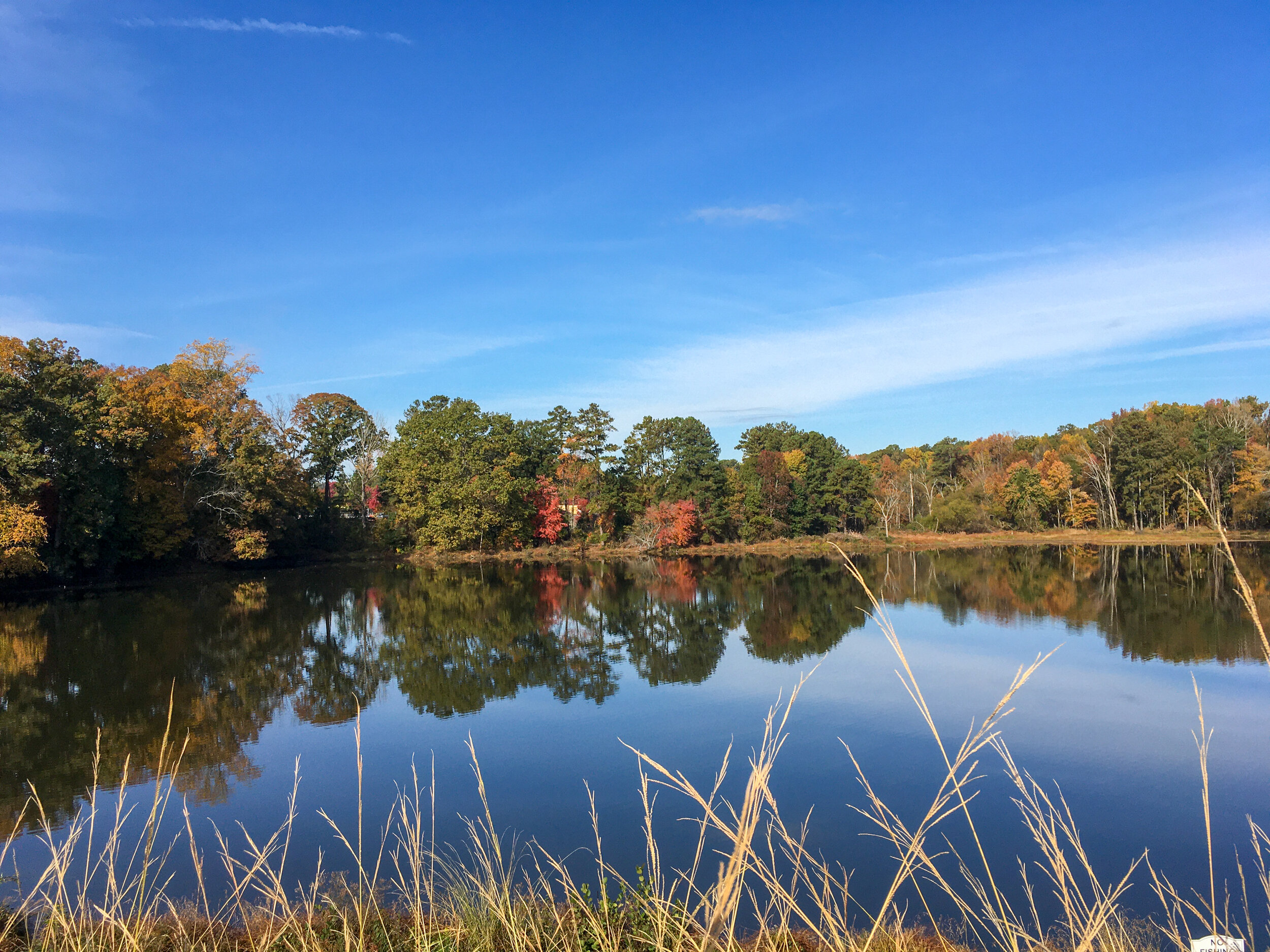
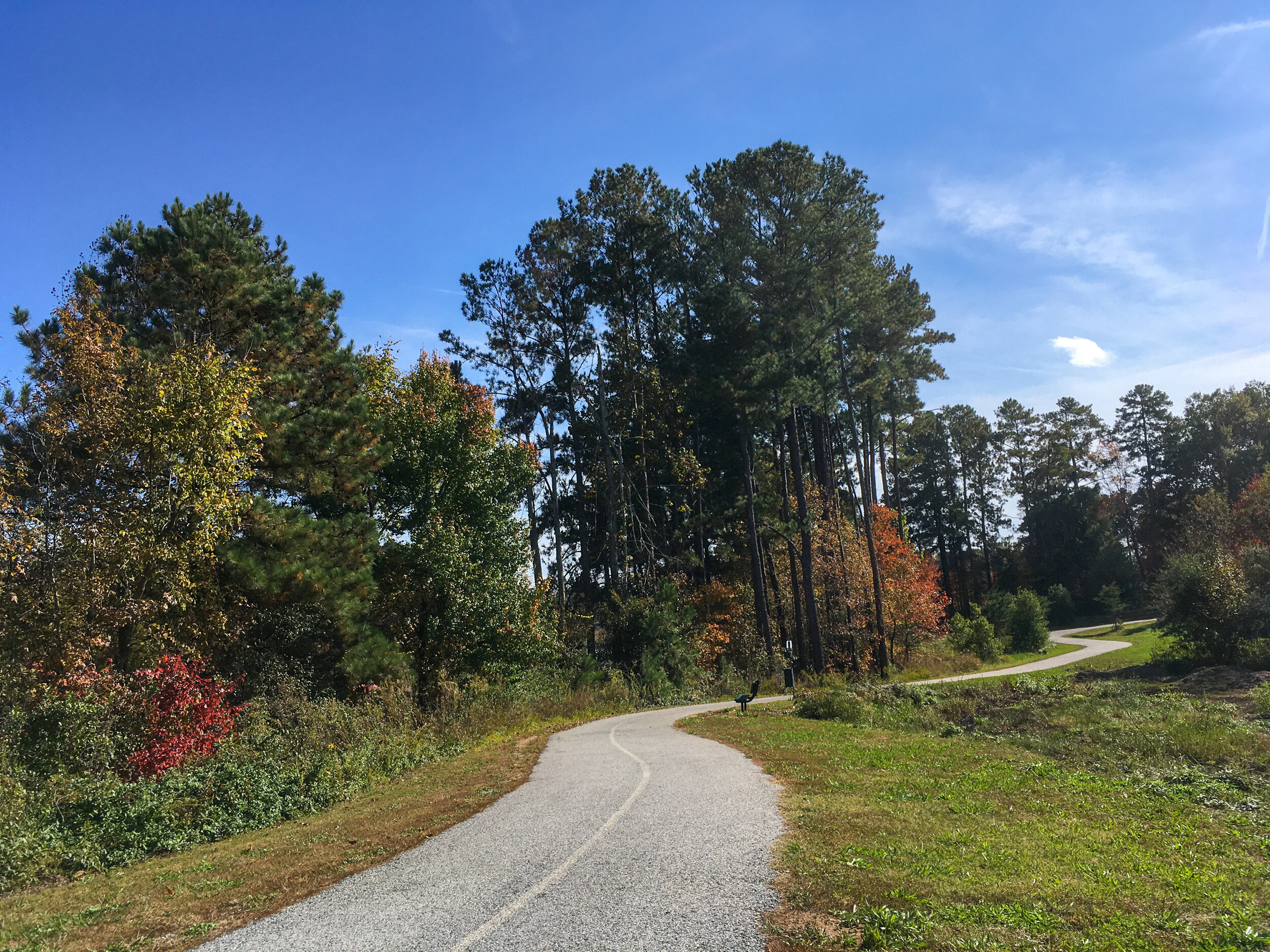
More photos on Flickr

From around the web
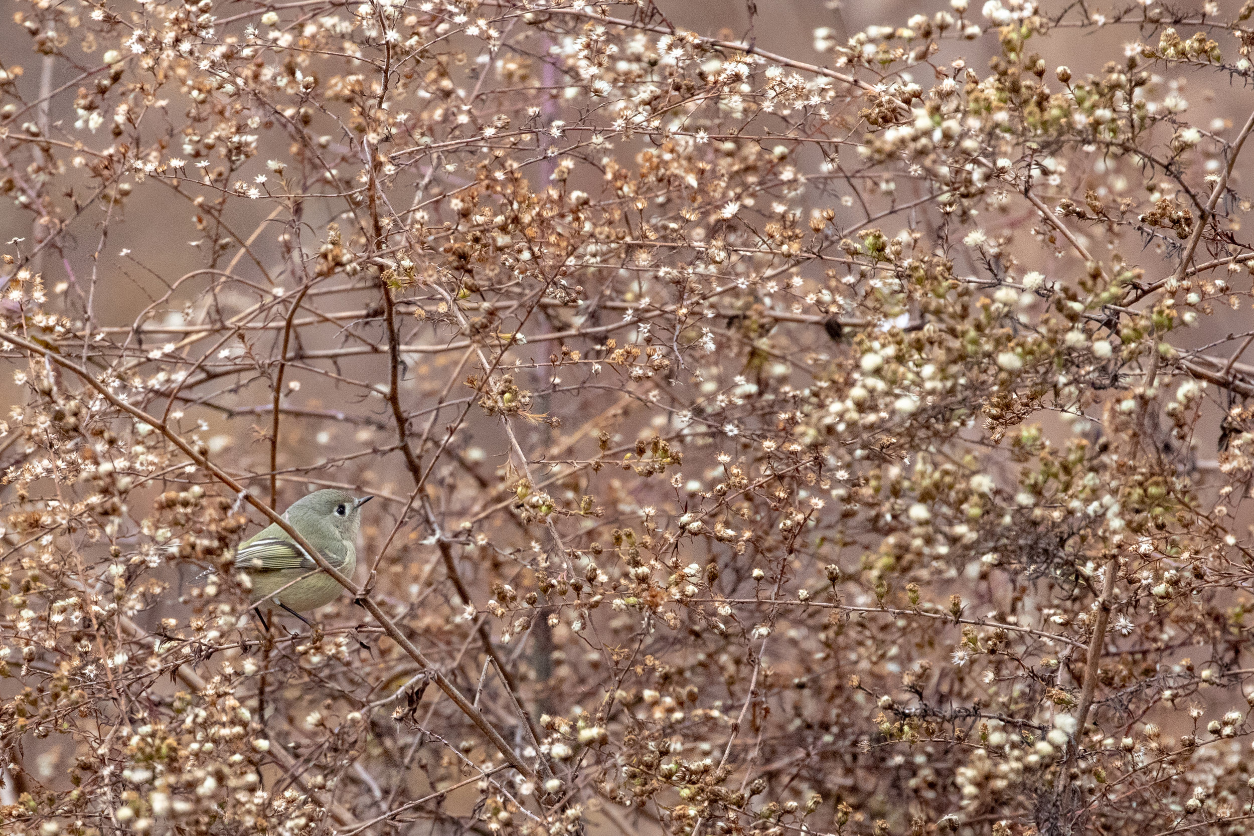
Recent iNaturalist observations
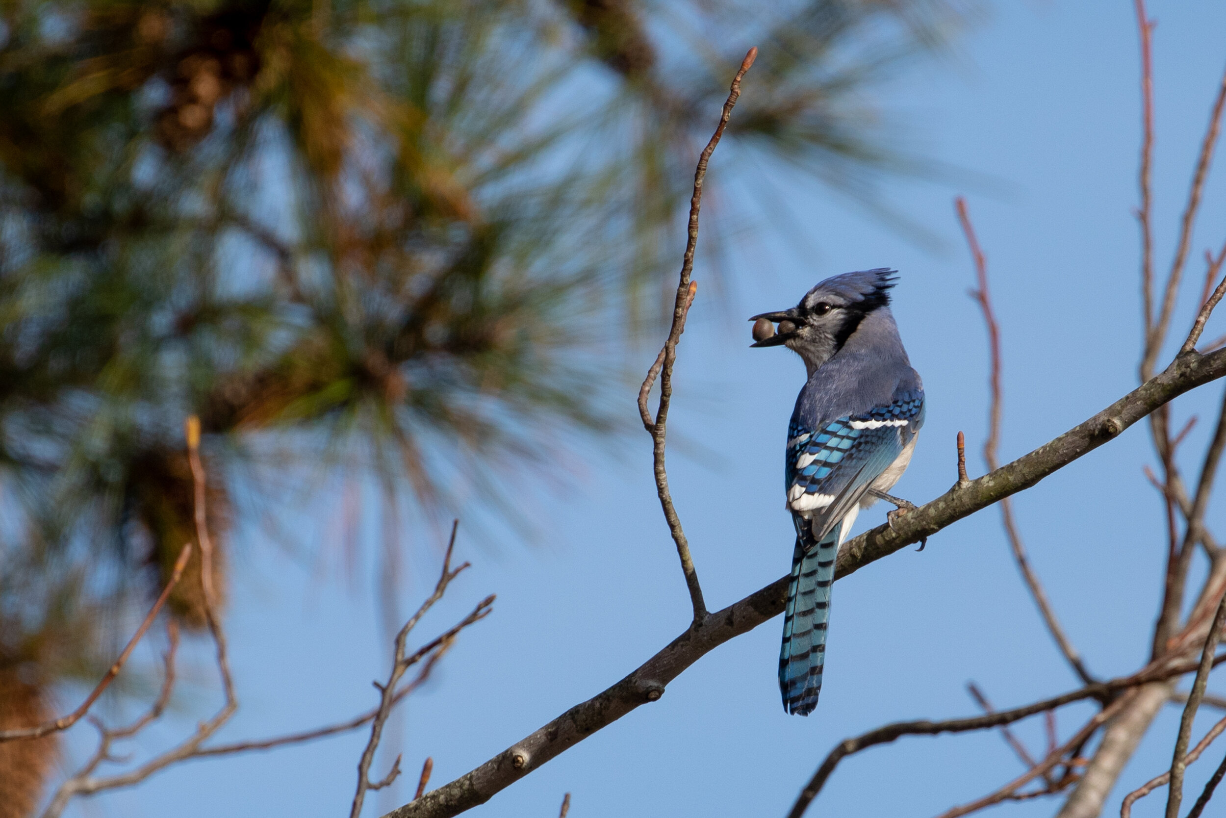
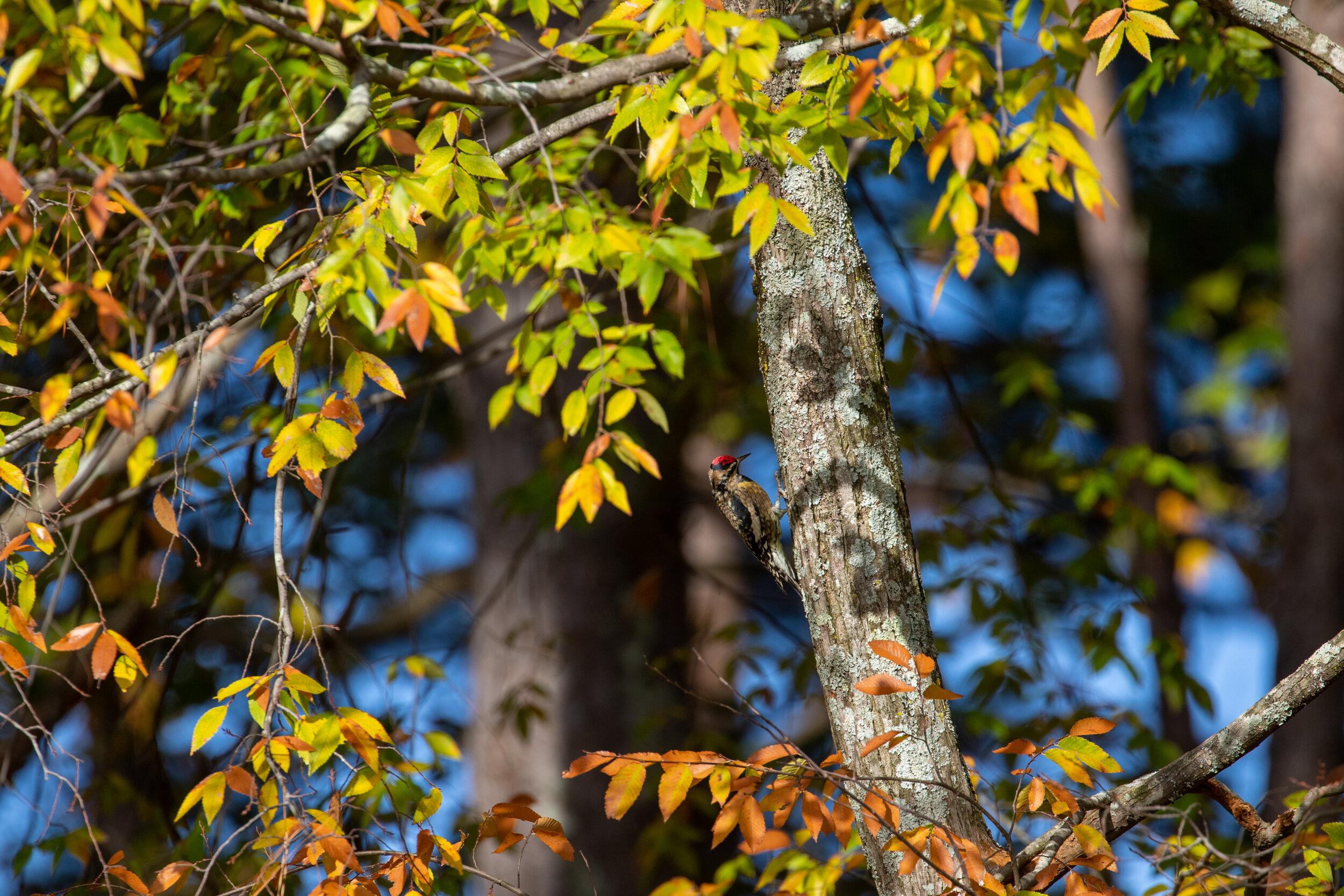
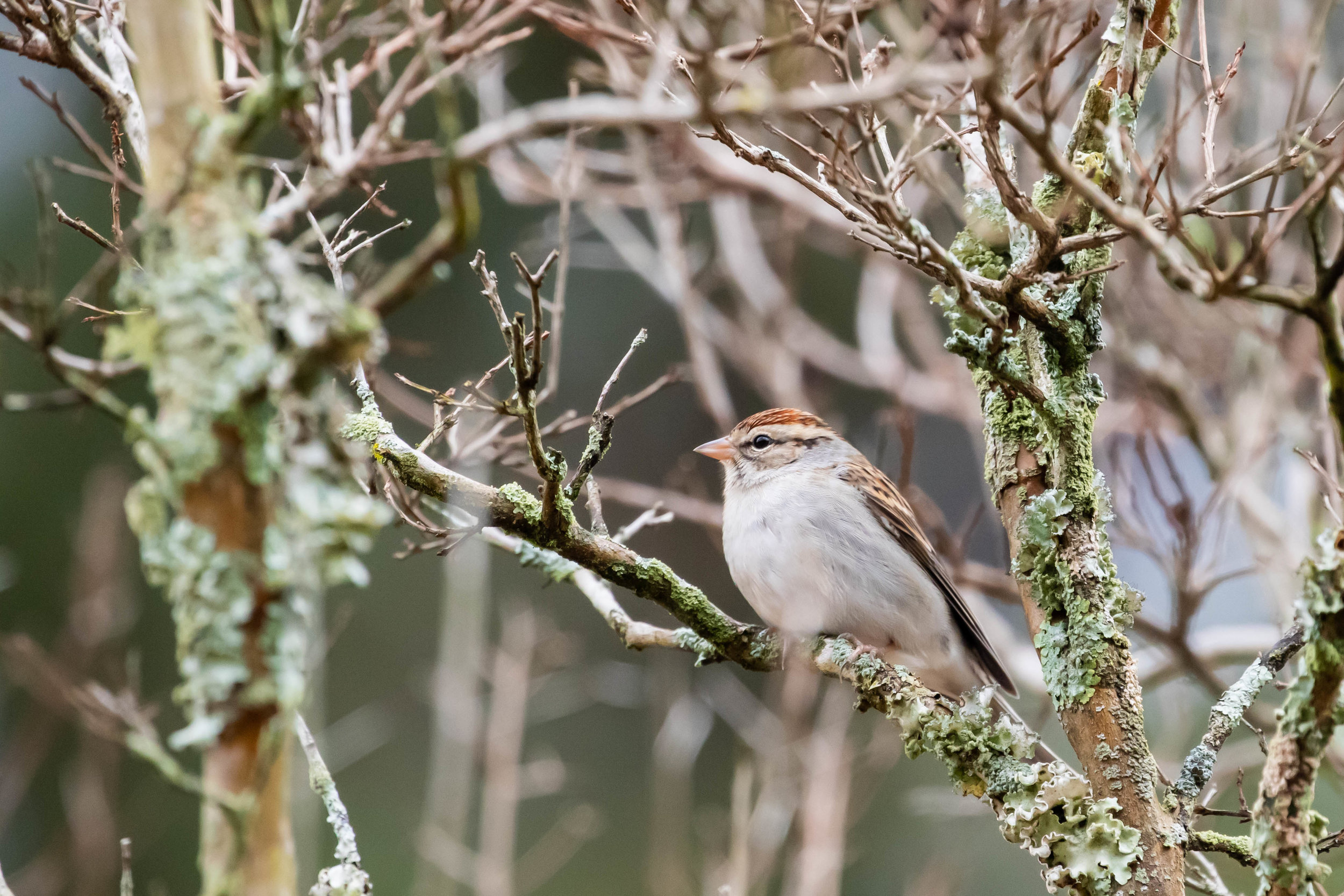
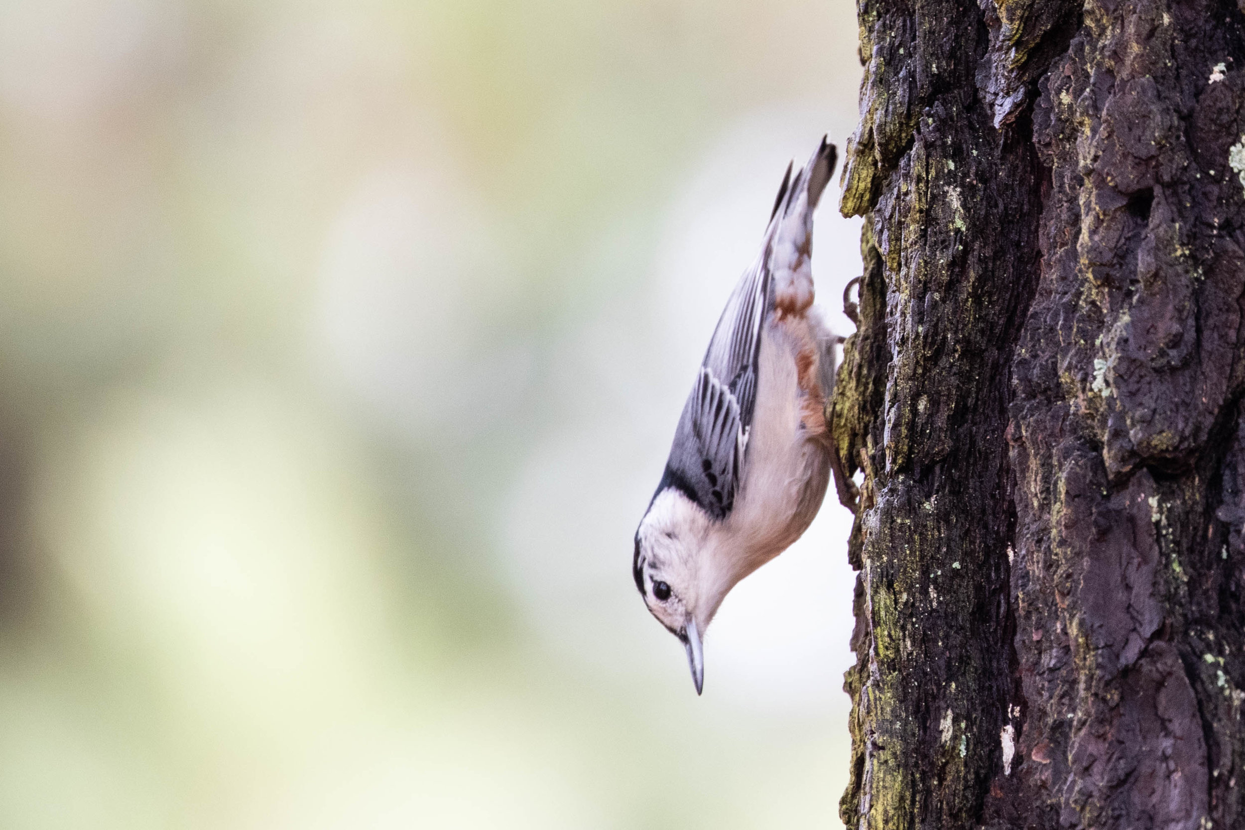
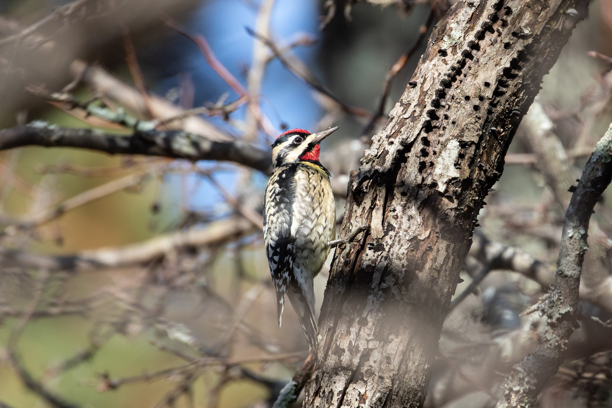
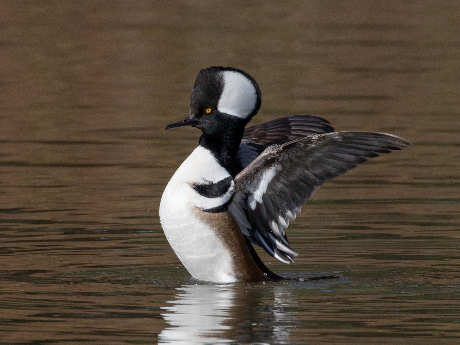
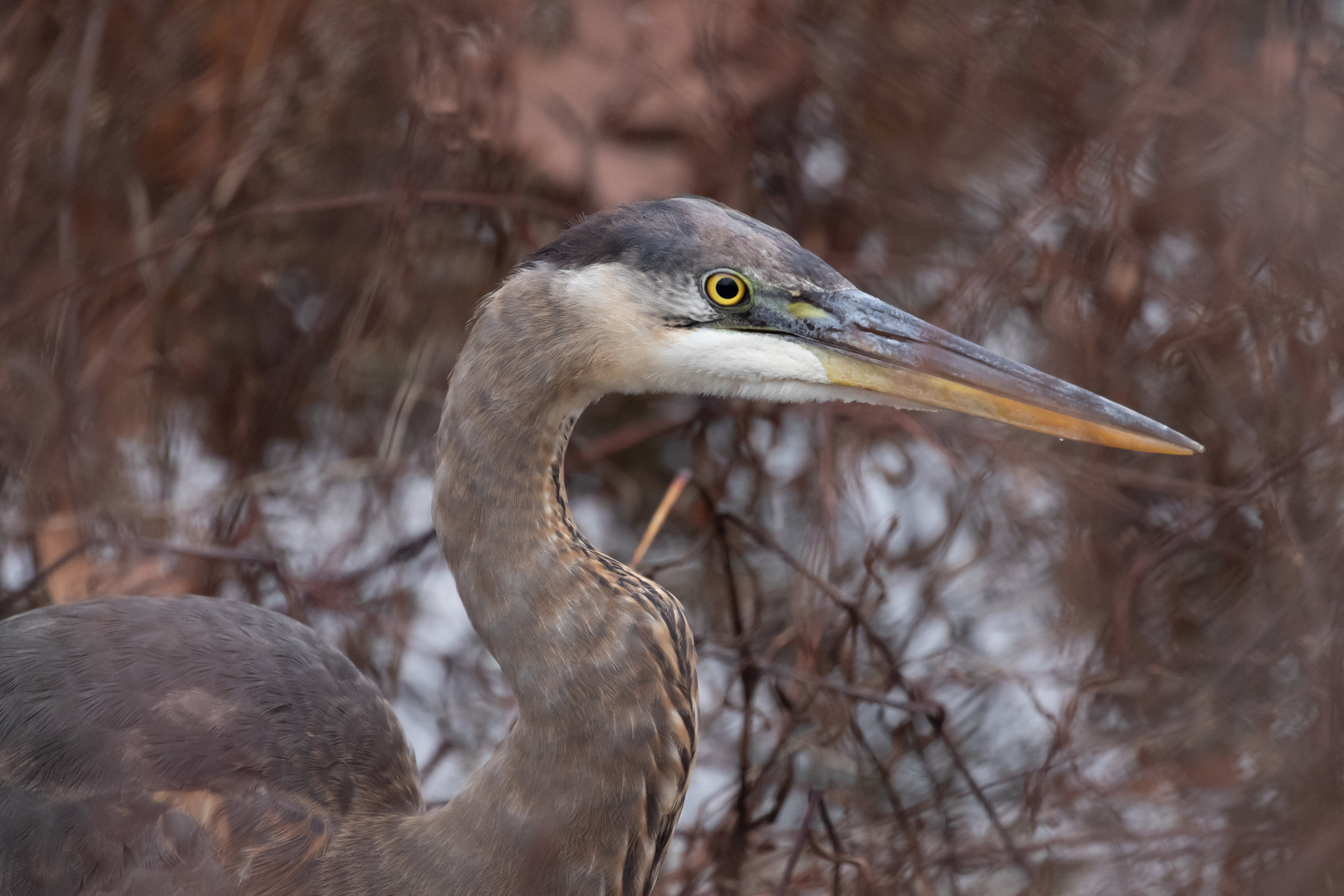
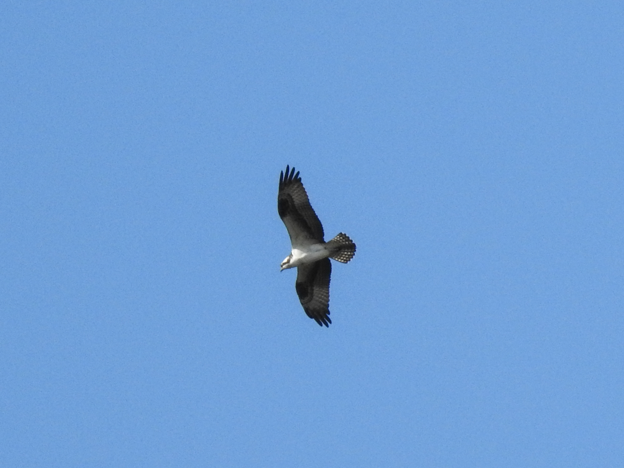
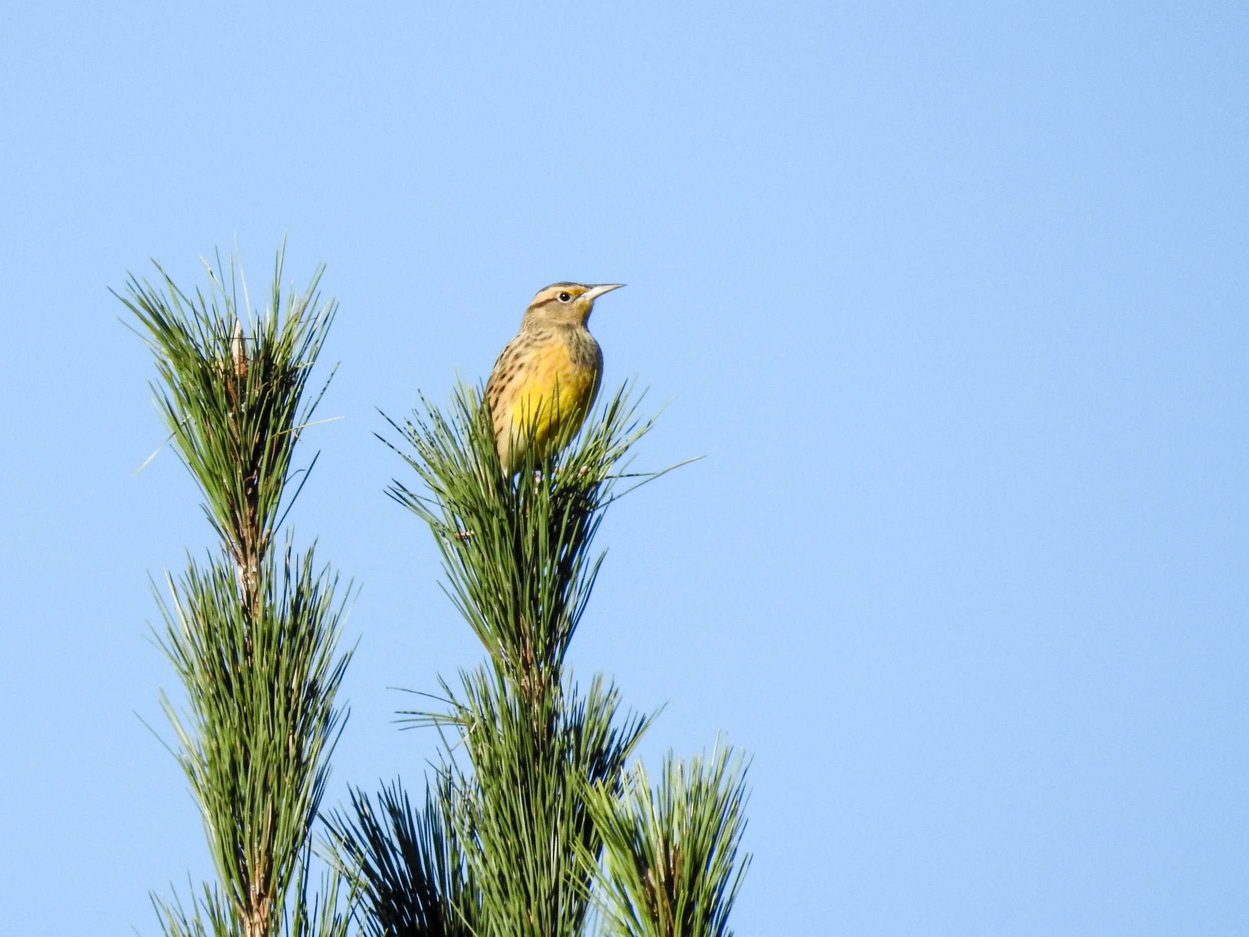
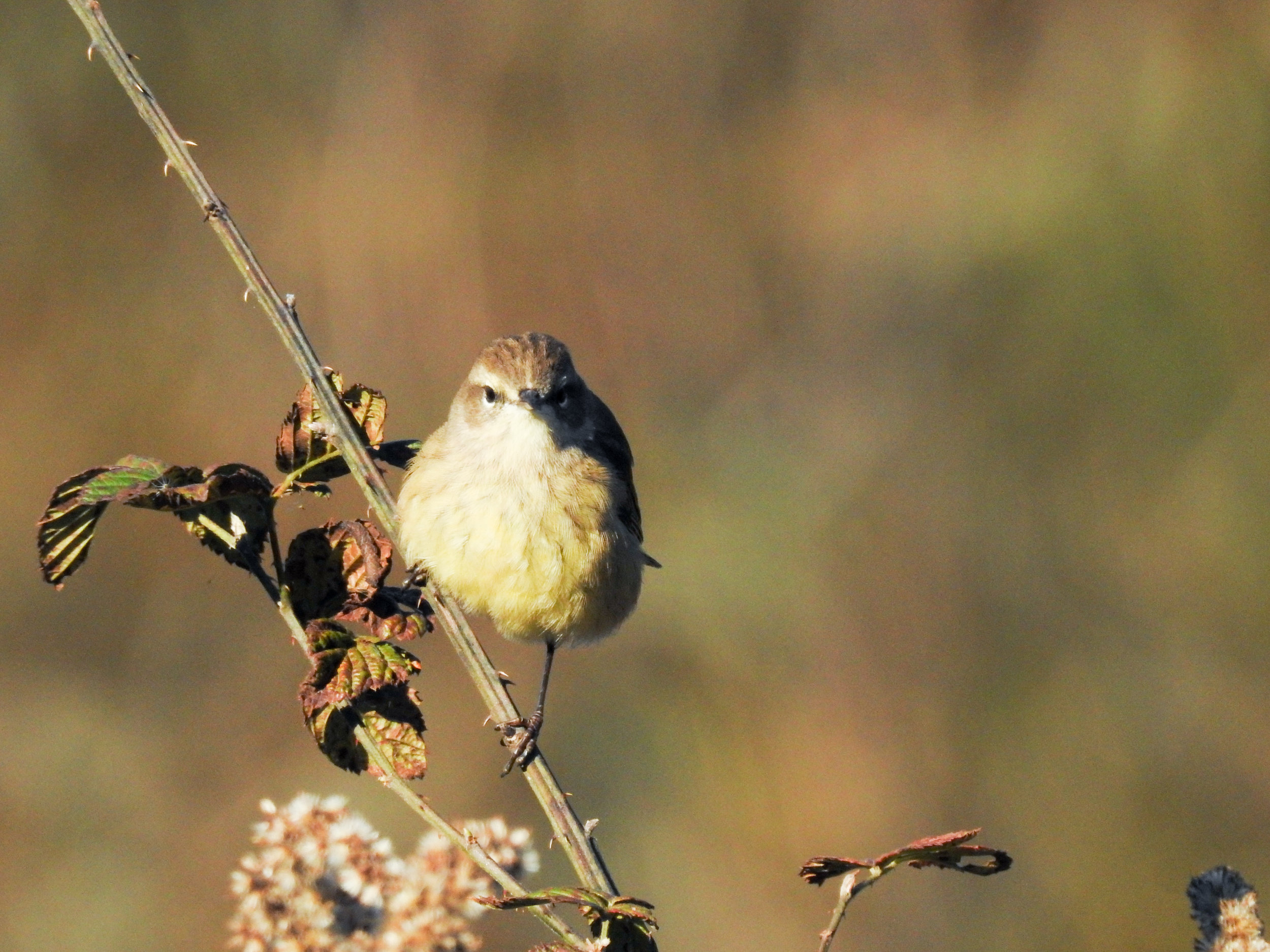
Random eBird sightings from the last 30 days
Good to combine with:


Updated January 6, 2017, April 15, 2017, and September 2, 2021