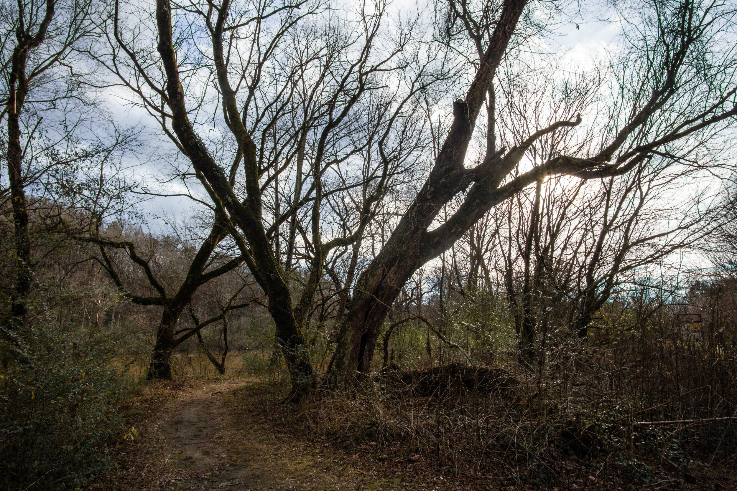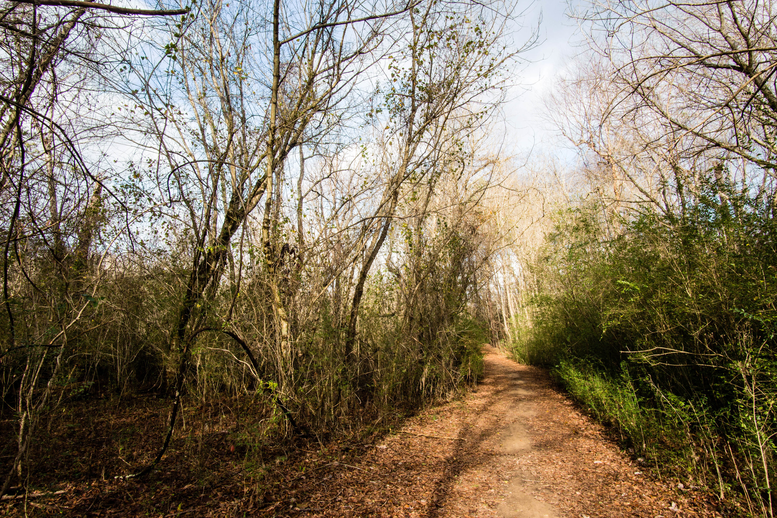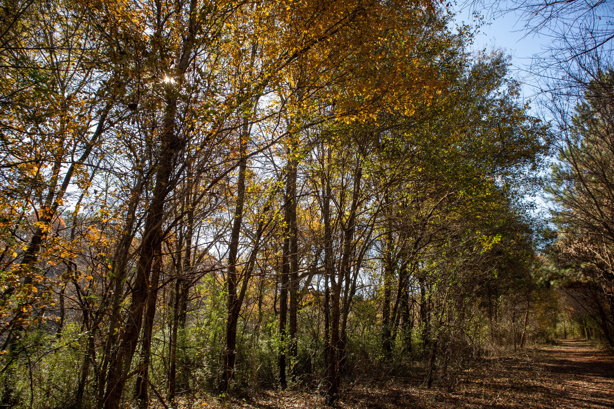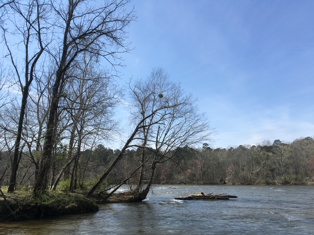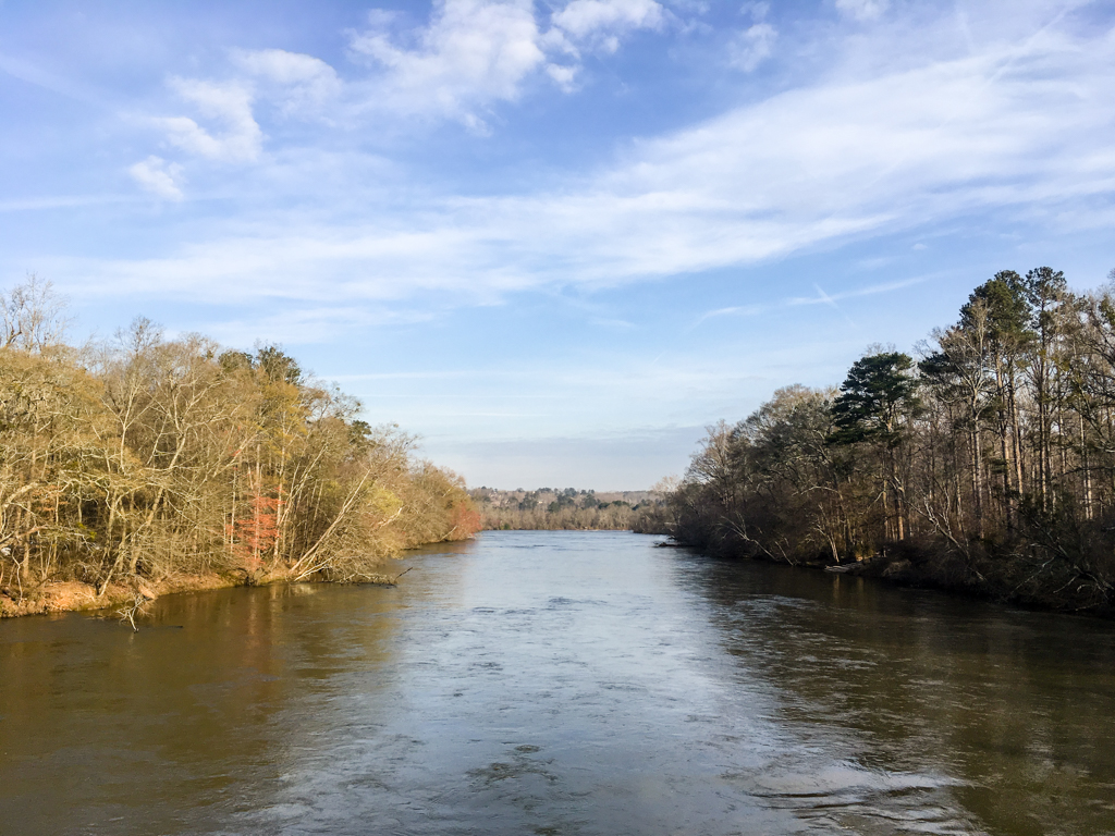
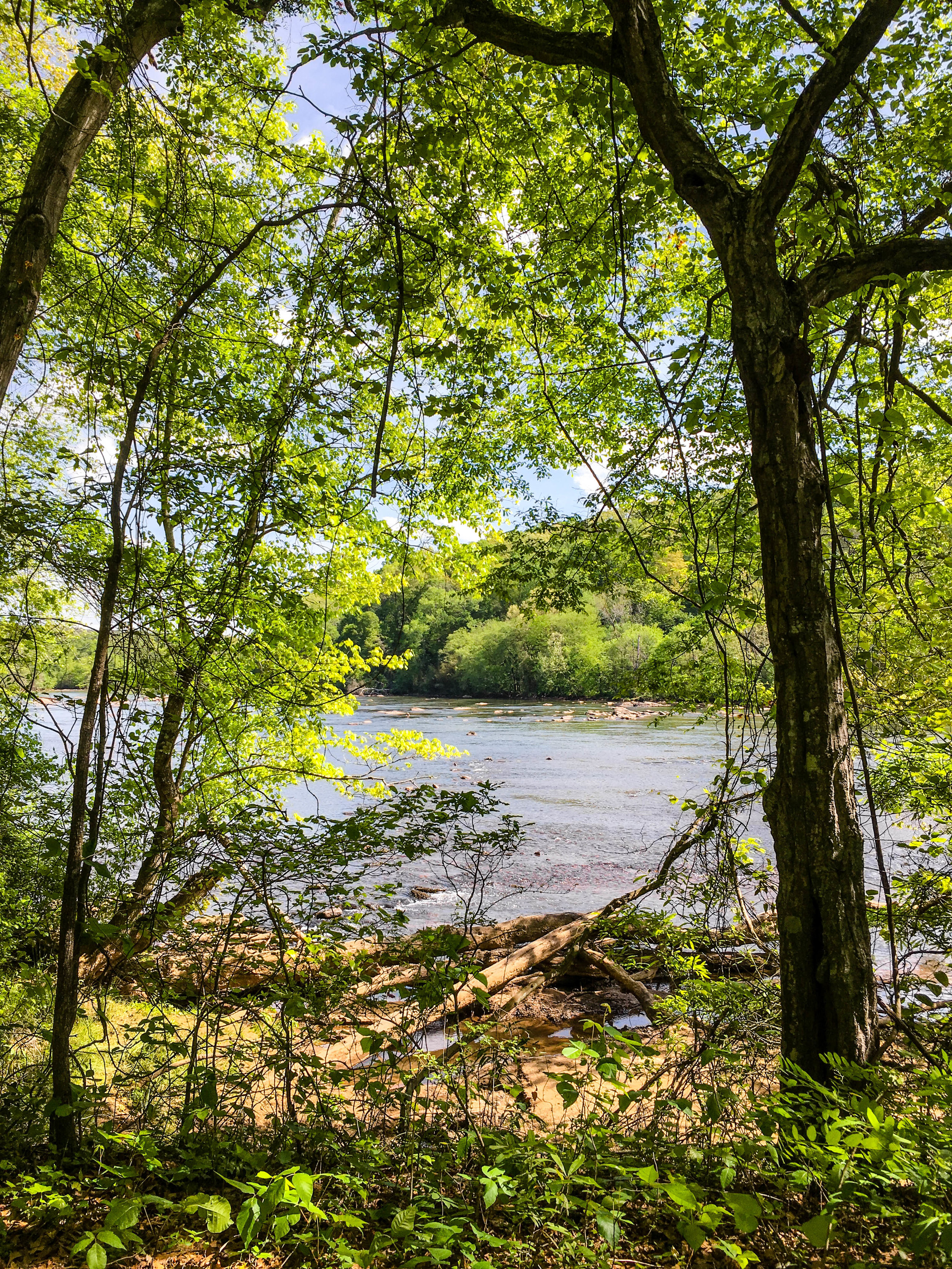
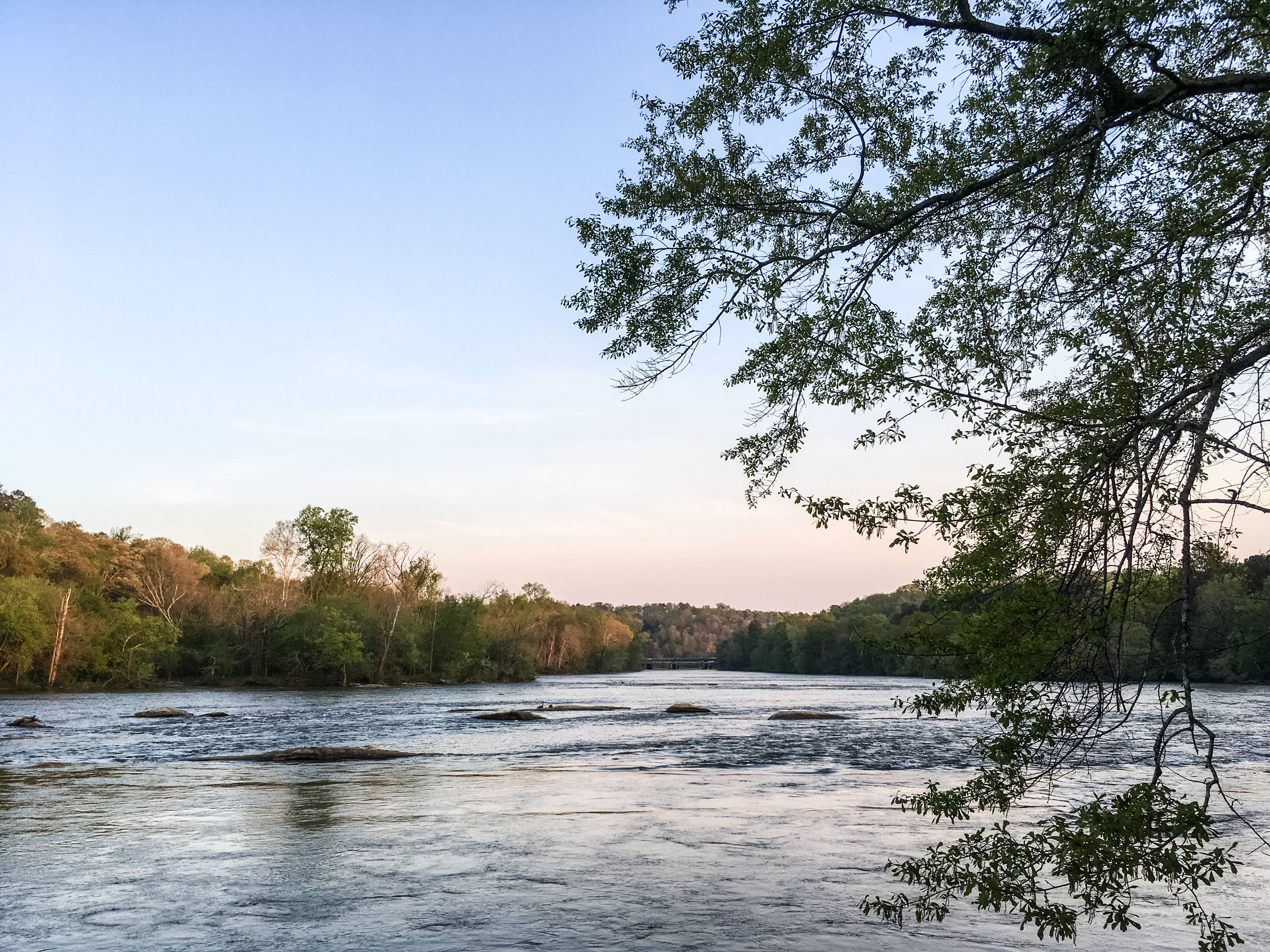
Chattahoochee River National Recreation Area: Cochran Shoals (Columns Drive & Interstate North)
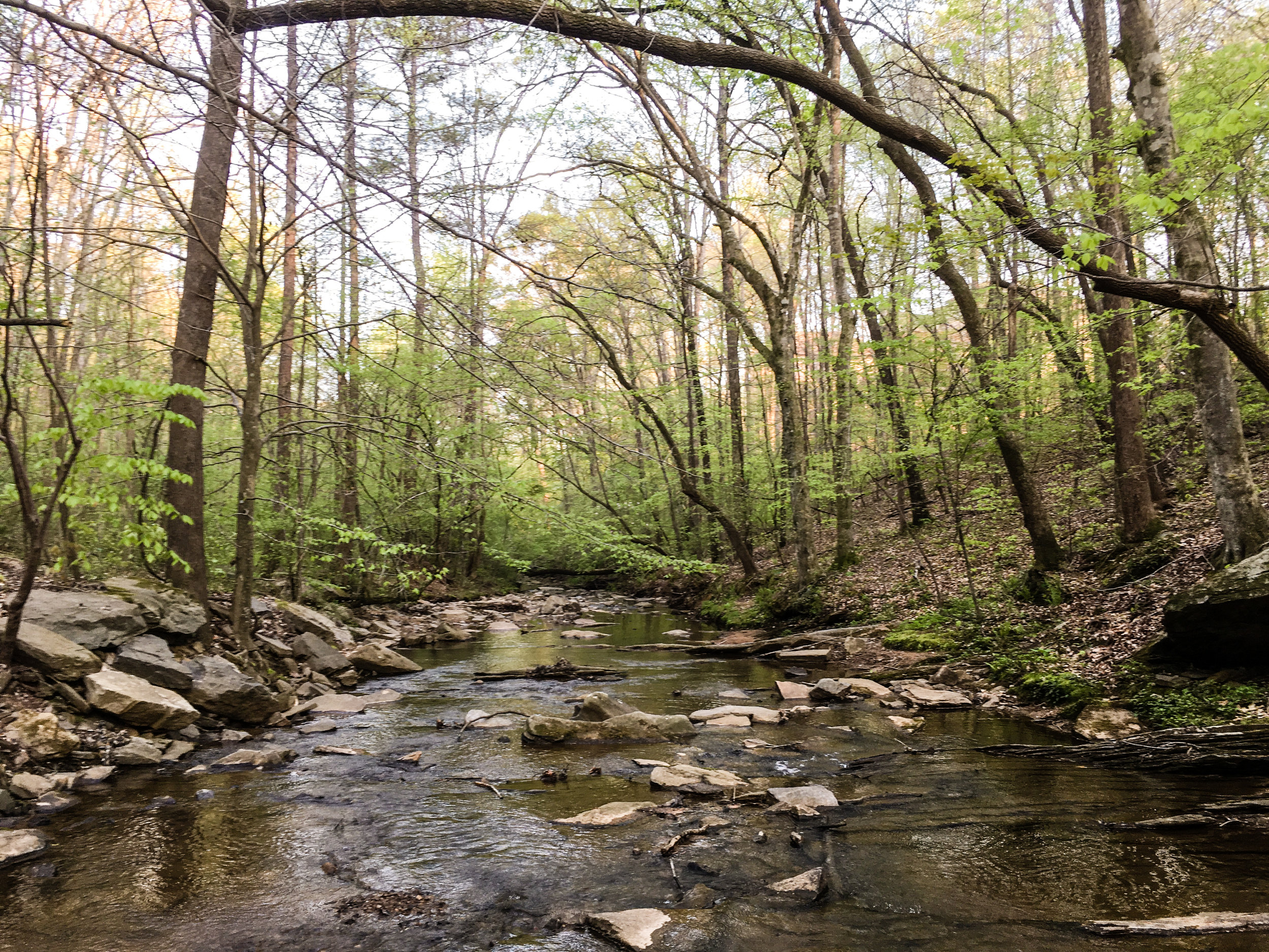
This unit connects to Sope Creek via trails. Mountain bikes are allowed on some segments of both Sope Creek and Cochran Shoals. Note: some of the mountain bike trails are one-way only. They change direction based on the day. Hikers hike in the opposite direction of bikes.
Address: 150 Columns Dr SE, Marietta, GA 30067
Cost of admission: $5/day parking fee per car
Governance: NPS
Acres: 968, including Sope Creek, Interstate North, and Powers Island sections
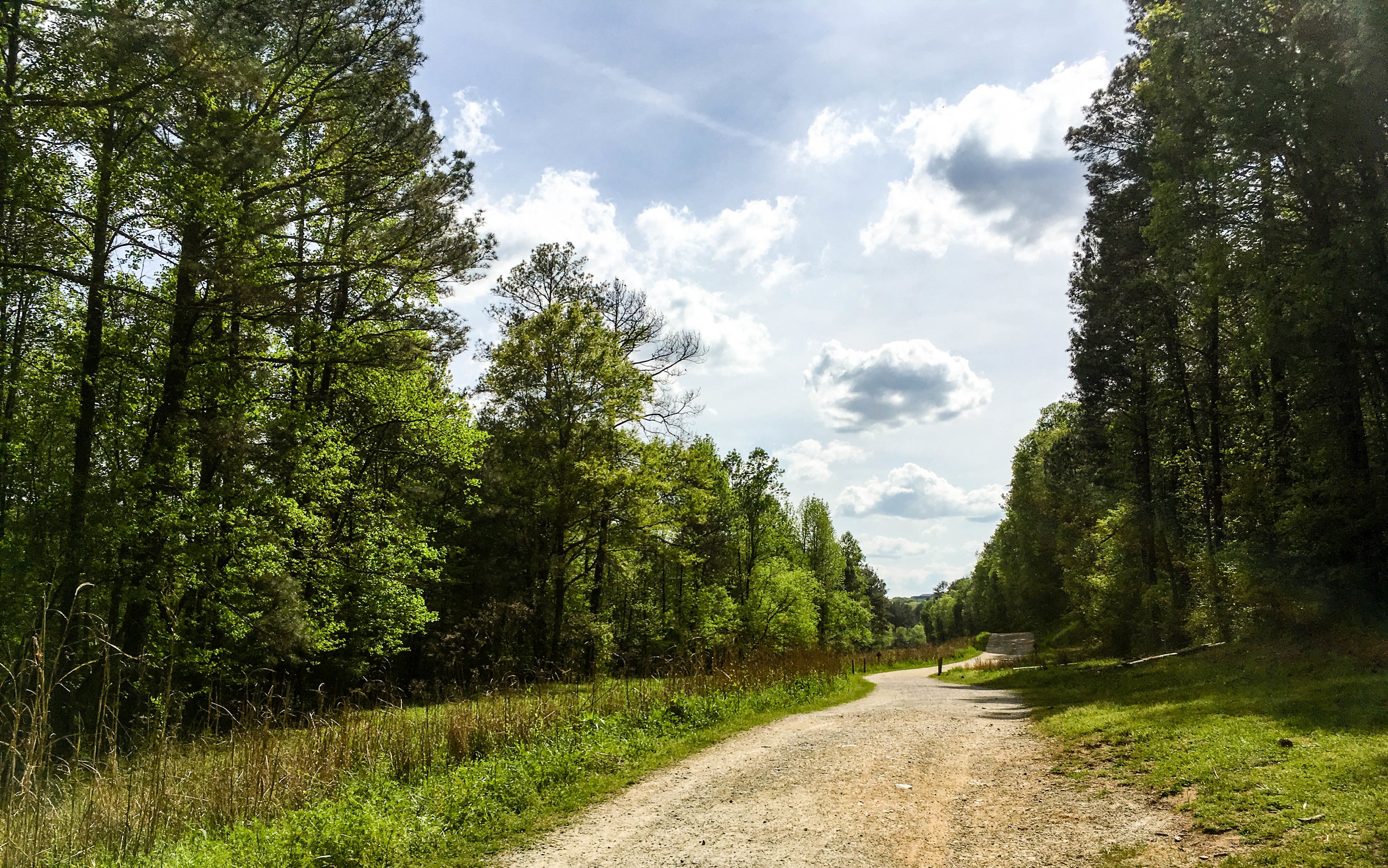
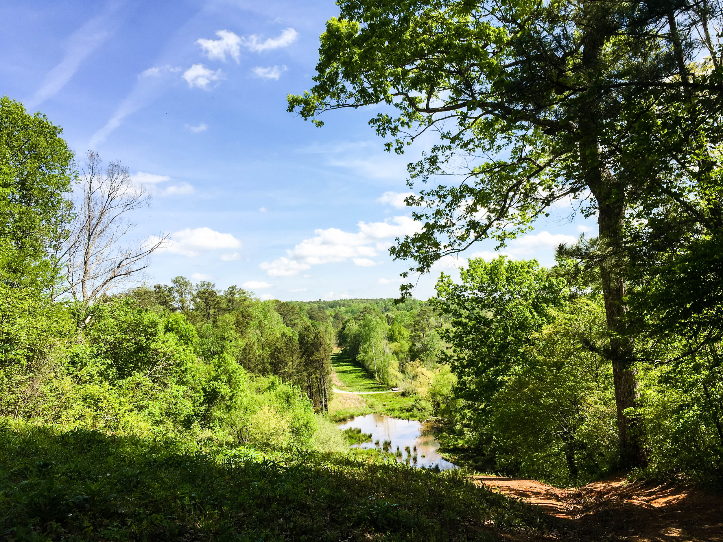
Approximate miles of trails: 4 (more if combined with Sope Creek)
Hours: Dawn to dusk, exact park hours are posted at the trailheads
Miles from downtown Atlanta: 12
Transit directions: Take the CobbLinc 10 bus from Arts Center Station to the Cumberland Transfer Center. At the Cumberland Transfer Center, transfer to the CobbLinc 50 to Powers Ferry Rd + Rivers Apartments. Walk southeast on Powers Ferry. Take a left on the multi-use path along Interstate N Pkwy. The multi-use pathway ends at the entrance to Cochran Shoals.
Transfers between CobbLinc (formerly Cobb Community Transit — CCT) and MARTA are free, so taking the train to and from Arts Center will not cost extra. But be aware you will need a Cobb pass or cash to board a Cobb bus when not making a transfer. Cobb trips can be added to your Breeze Card at any Breeze station.
Cycling directions: Cochran Shoals is adjacent to the Akers Mill trail, which is a multi-use path
Parking: Parking is available at both trailheads for $5/day. Annual passes are available.
Trailhead(s): There are two Cochran Shoals trailheads. One is "Interstate North" on Eugene Gunby Rd, just off of Interstate N Pkwy. The other is at the end of Columns Drive. Sope Creek is connected to Cochran Shoals and has its own trailhead.
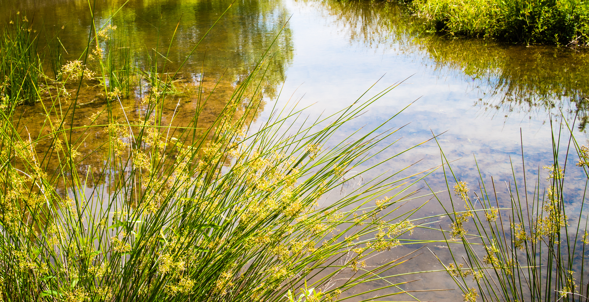
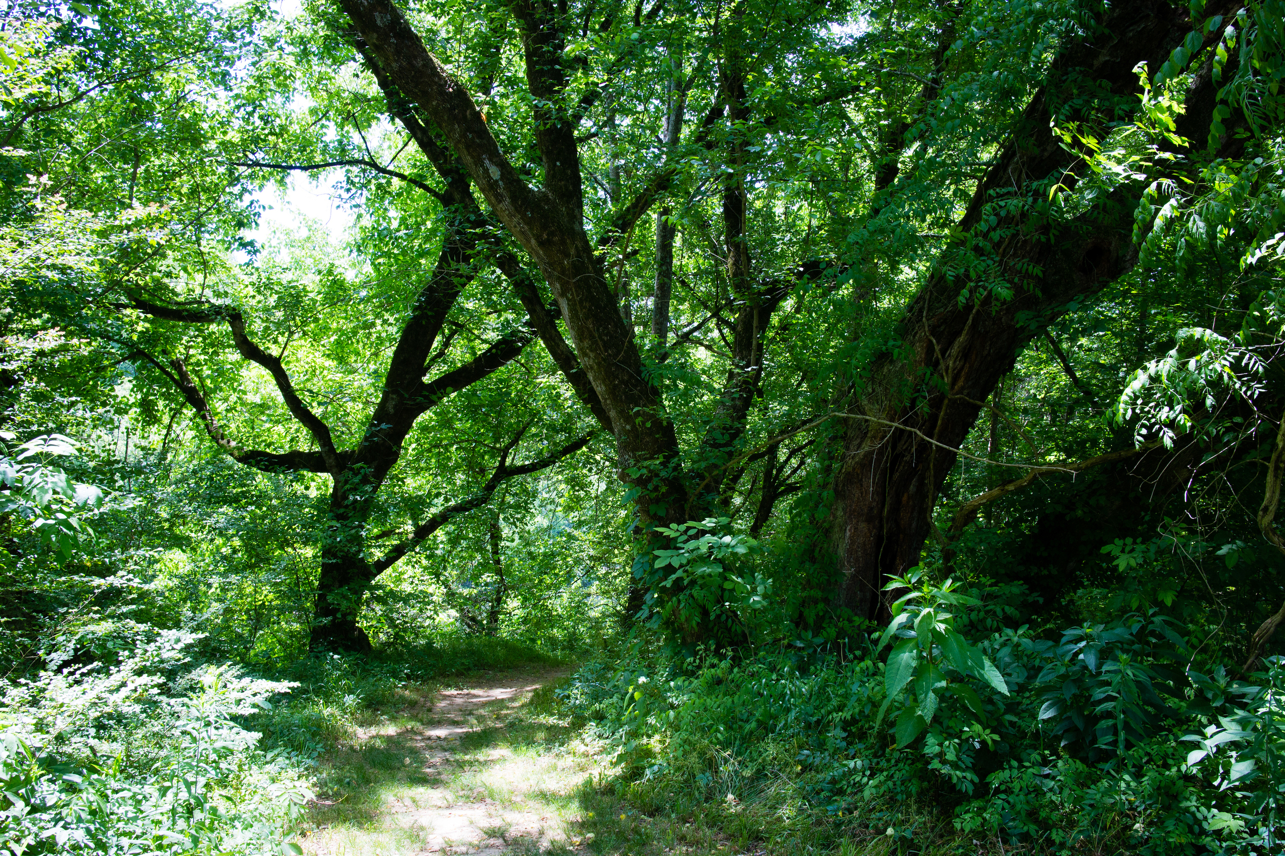
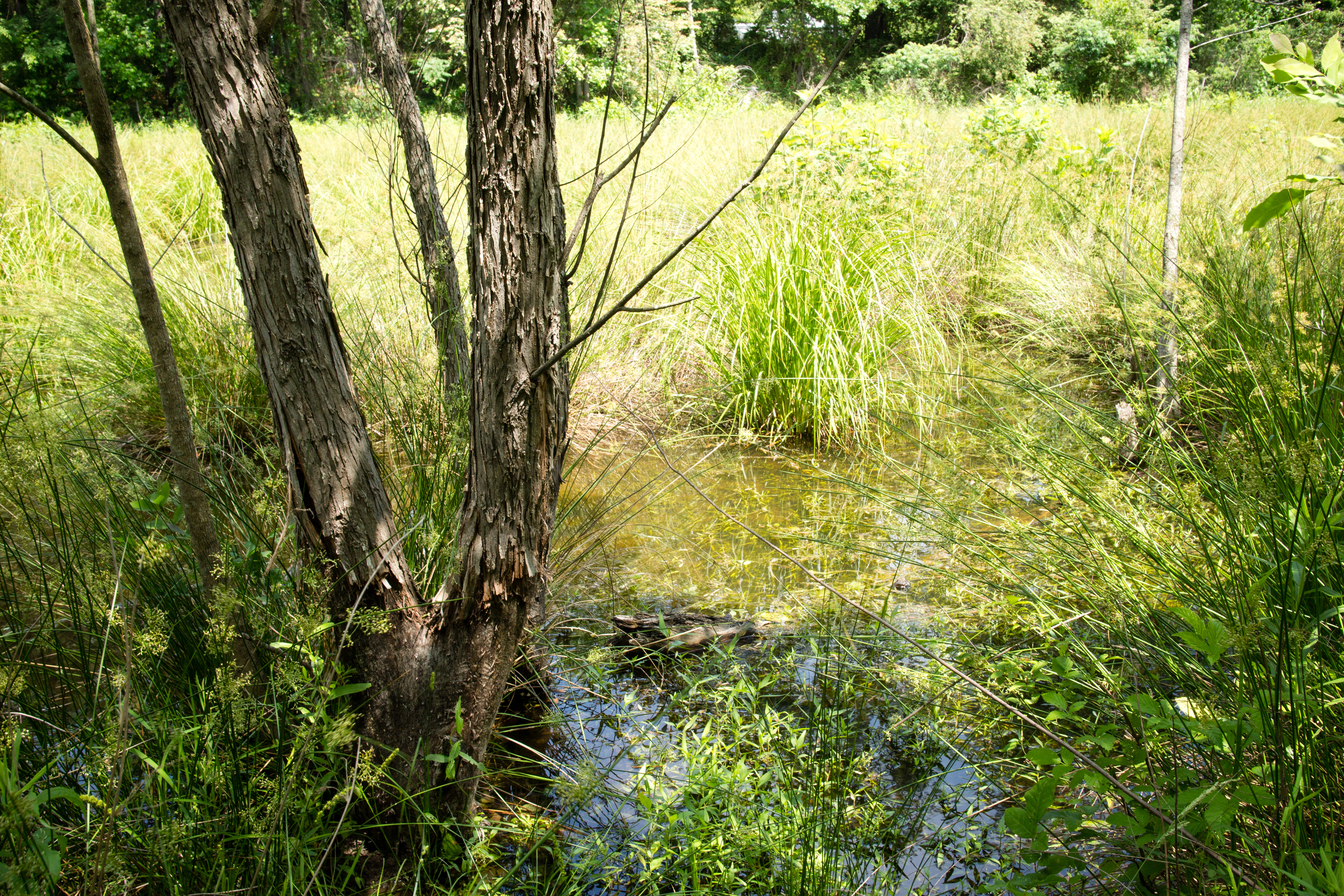
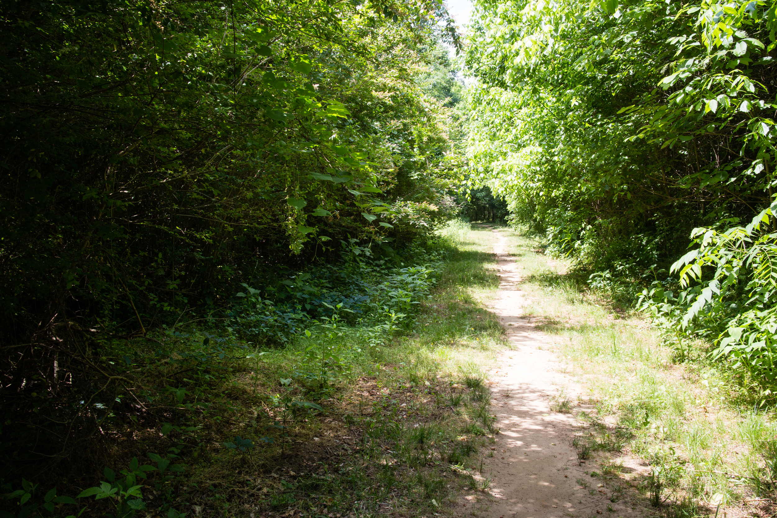
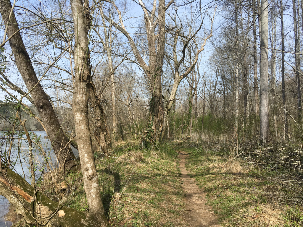
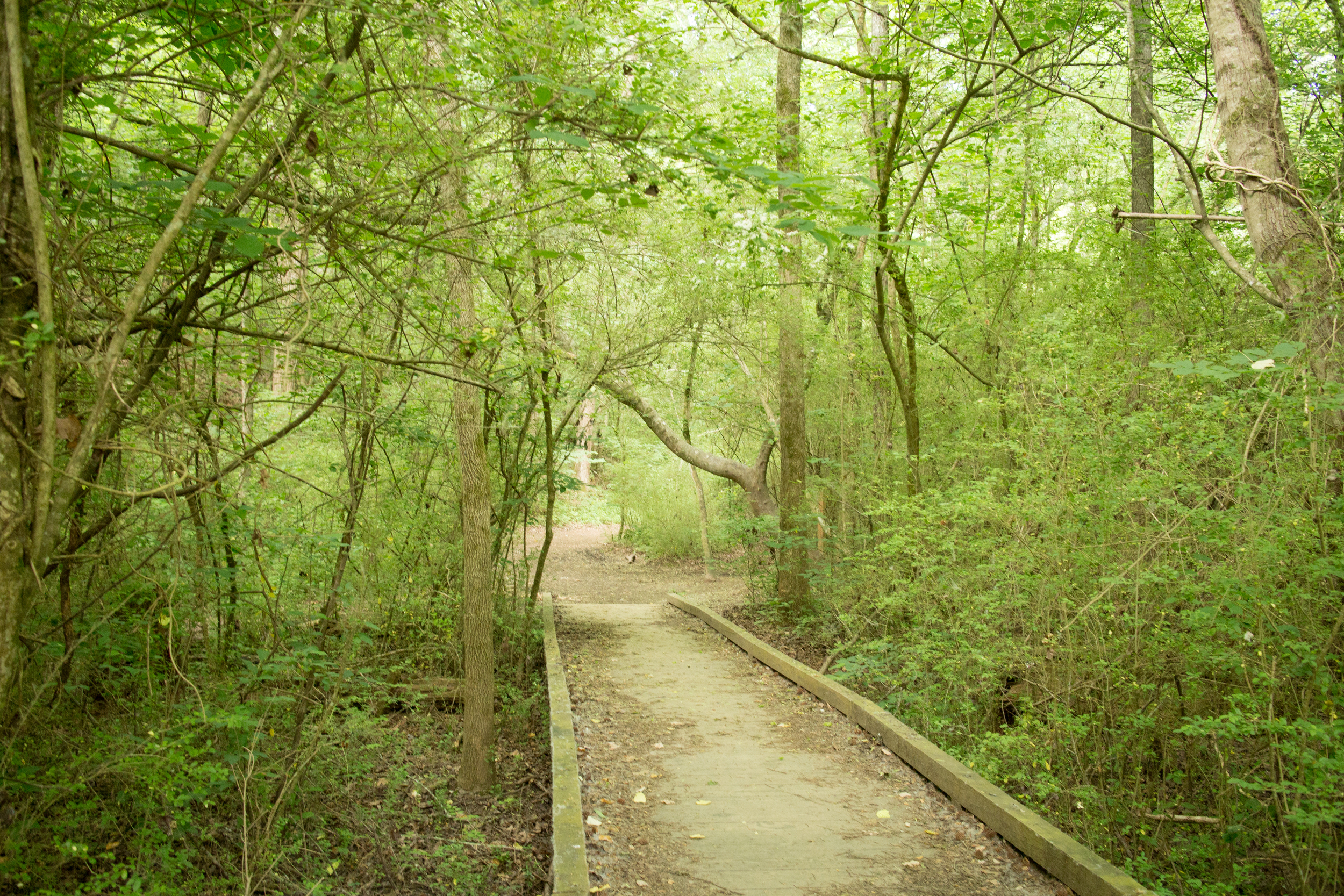
Trail surface: Mostly natural, some gravel and boardwalk
Blazes/markings: Each trail intersection has signage
Restrooms: There are restrooms at each of the trailheads
Geocaching: No
Guidebook mentions: Chapter 53 of Hiking Atlanta's Hidden Forests (1st edition), page 90 in Hiking the Hooch (1st edition), trip 80 in Afoot & Afield Atlanta (2nd edition), chapter J (page 317) in Hiking Georgia (4th edition)
Nearby amenities/conveniences:
Gas and food are available along Powers Ferry about 0.4 mi from Interstate North trailhead
Links:
SORBA (mountain bike trails)


More photos on Flickr:

From around the web
Recent iNaturalist observations
Random eBird sightings from the last 30 days
Good to combine with:


Updated November 7, 2016, April 15, 2017, April 12, 2018, & June 26, 2021