ATLnature

ATLnature is your guide to Atlanta's trails and other rad nature stuff in the city. Live in the city but miss hiking on the weekends? Don’t have time (or a car!) for a trip to north Georgia? Did you know there are over 30 nature trails inside the perimeter of 285 alone?

  • Home
  • Parks
  • Species
  • More
sope-creek.png

Chattahoochee River National Recreation Area: Sope Creek

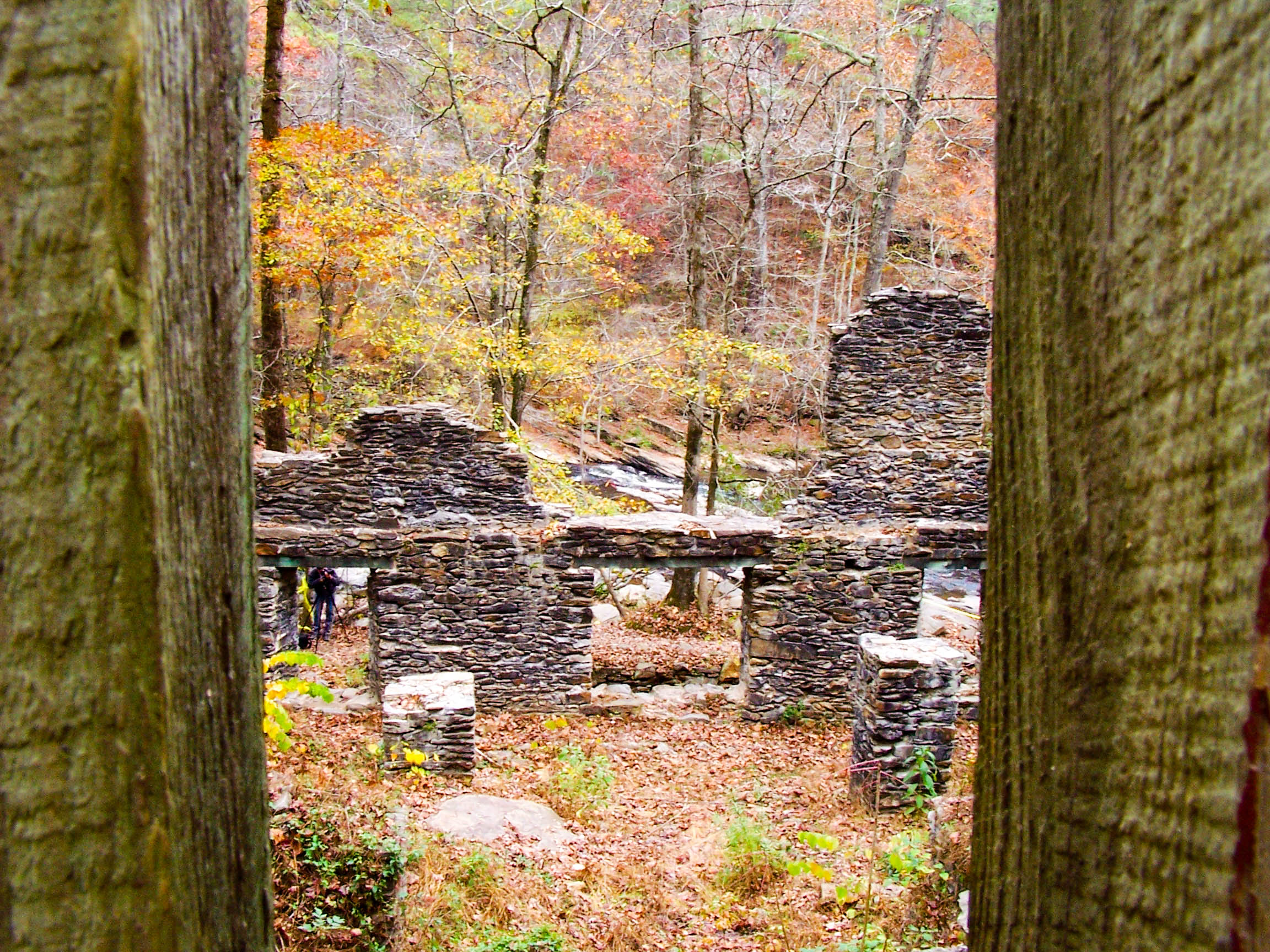
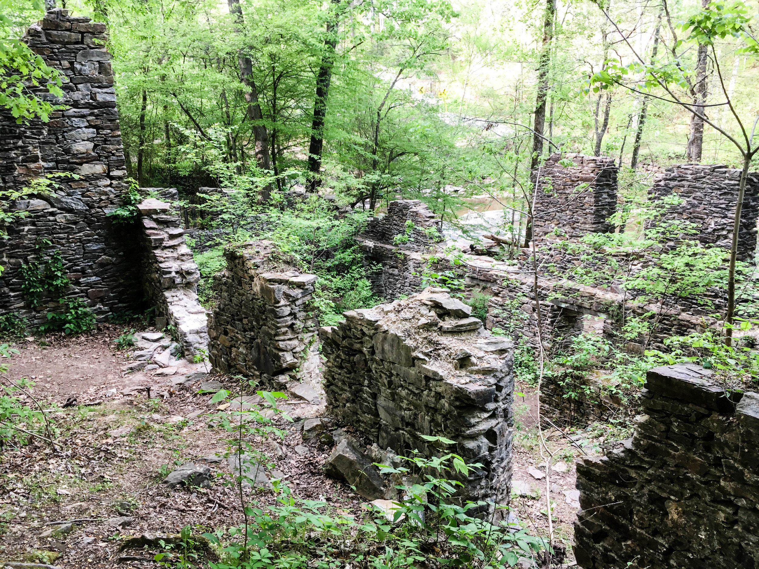
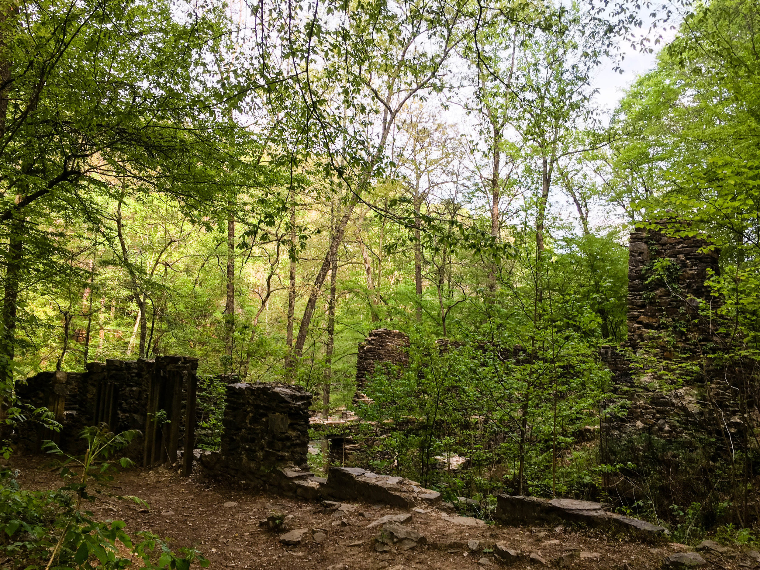
Sope Creek Paper Mill Ruins
September 02, 2021 by Shawn Taylor in parks

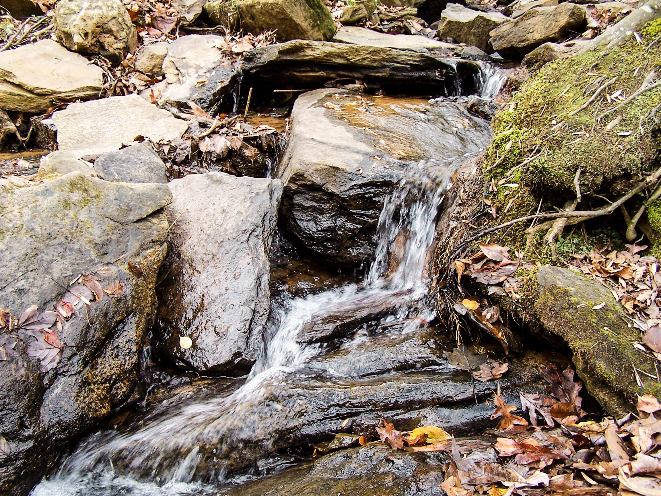
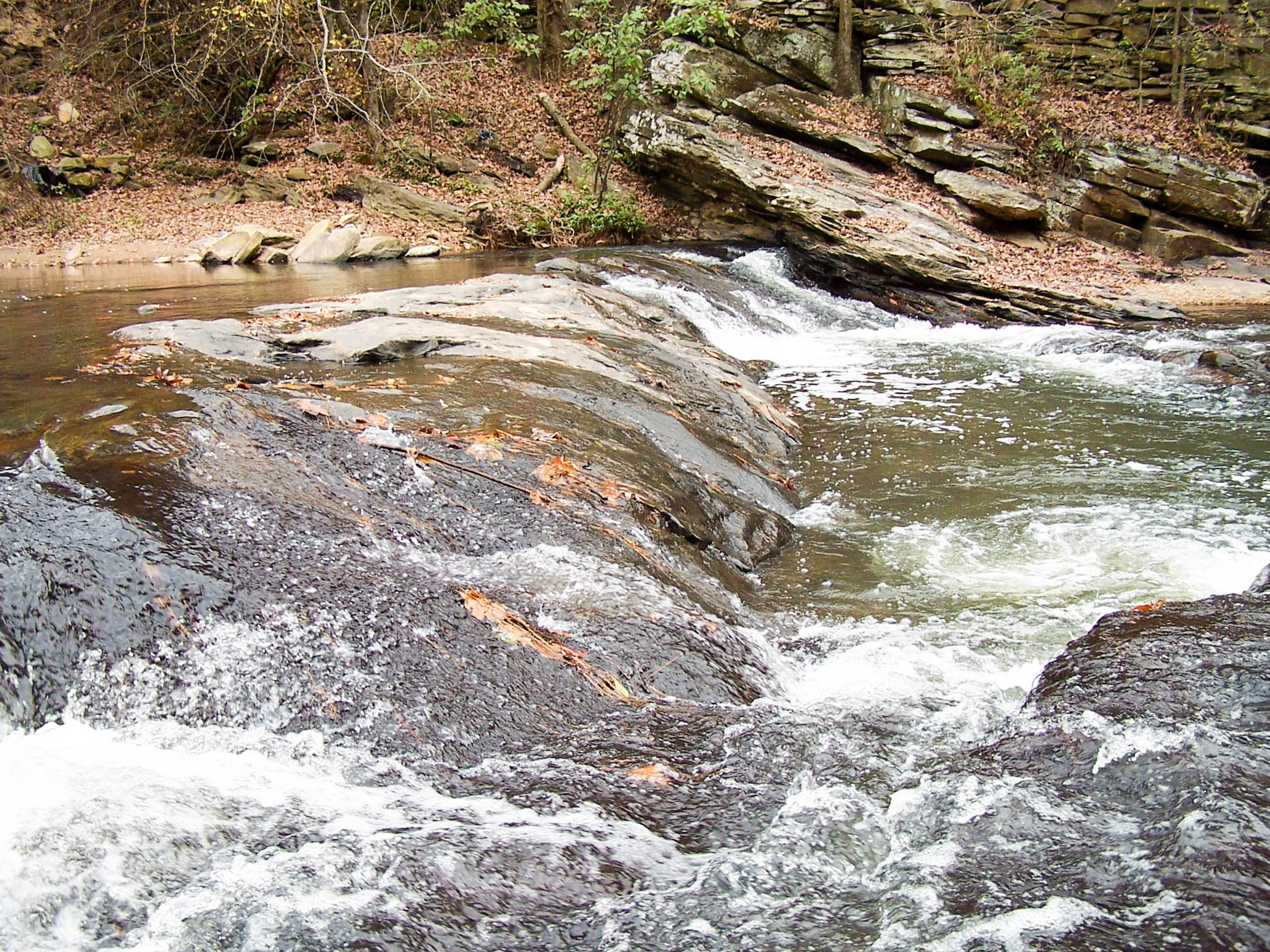
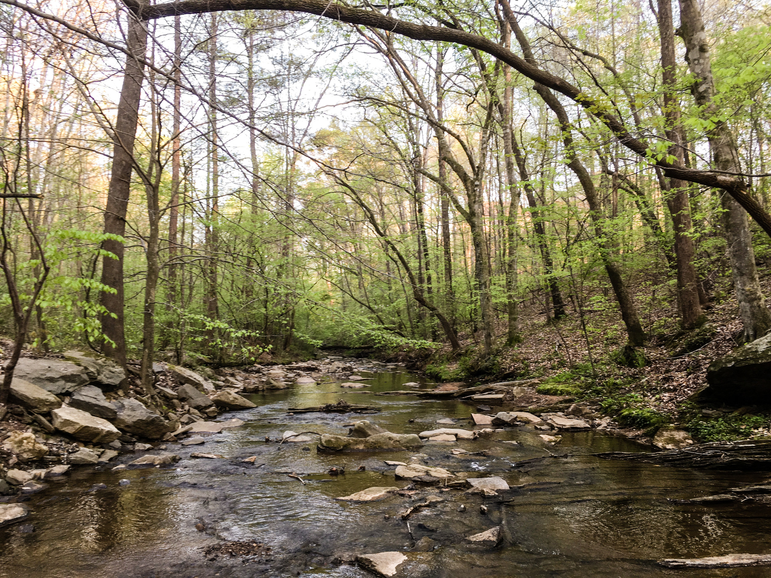
The paper mill ruins are what this park segment is most known for. The ruins are located near marker SC27 on the map. This segment connects to Cochran Shoals via trails. Mountain bikes are allowed on some segments of both Sope Creek and Cochran Shoals. Note: some of the mountain bike trails are one-way only. They change direction based on the day. Hikers hike in the opposite direction of bikes.

Address: 3726 Paper Mill Rd SE, Marietta, GA 30067
Cost of admission: $5/day per car
Governance: NPS
Friends of the Park Group: Chattahoochee National Park Conservancy
Acres: 303
Approximate miles of trails: 5.5
Hours: Dawn to dusk, exact park hours are posted at the trailheads
Miles from downtown Atlanta: 13
Transit directions: The Cochran Shoals is fairly transit-accessible, and this unit connects to that one. Sope Creek itself is not very transit accessible.
Parking: Parking is available at the trailhead
Trailhead(s):
There are two trailheads at the parking lot on Paper Mill Rd
Trail surface: Natural
Blazes/markings: Each trailhead is marked with a map of the unit
Restrooms: There are no restrooms in the Sope Creek unit, but there are restrooms at the Columns Drive and Interstate North trailheads of the Cochran Shoals unit, which connects to Sope Creek
Dogs allowed: Yes, on leash
Fishing allowed: Yes
Accessibility notes: Lots of rocks in the trail and uneven surfaces. There are also some fairly steep sections. Some muddy sections as well, depending on recent weather.
Guidebook mentions: Chapter 54 in Hiking Atlanta's Hidden Forests (1st edition), page 84 in Hiking the Hooch (1st edition), trip 81 in Afoot & Afield Atlanta (2nd edition)

Links:

  • NPS (PDF)

  • SORBA (mountain bike trails)

Map notes:

  • The yellow trail is one-way. The direction alternates by day. As of September 2021, hikers go clockwise on Tuesday, Thursday, and Saturday, and counter-clockwise on Sunday, Monday, Wednesday, and Friday. Mountain bikers ride in the opposite direction.

  • As of September 2021, some of the trails shown on OpenStreetMap (and therefore on this map’s basemap) are not present. To my knowledge, only the trails I’ve marked on the overlay are usable.

November 20, 2005

November 20, 2005

November 20, 2005

November 20, 2005

November 20, 2005

November 20, 2005

November 20, 2005

November 20, 2005

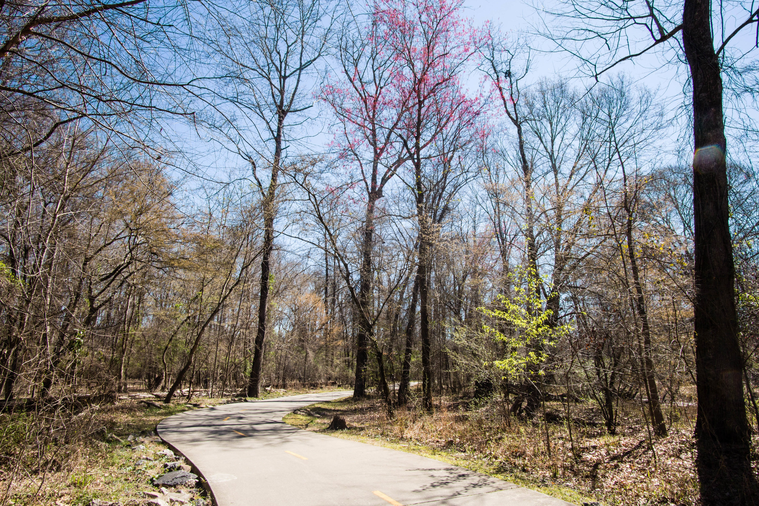
April 15, 2017

April 15, 2017

April 15, 2017

April 15, 2017

April 15, 2017

April 15, 2017

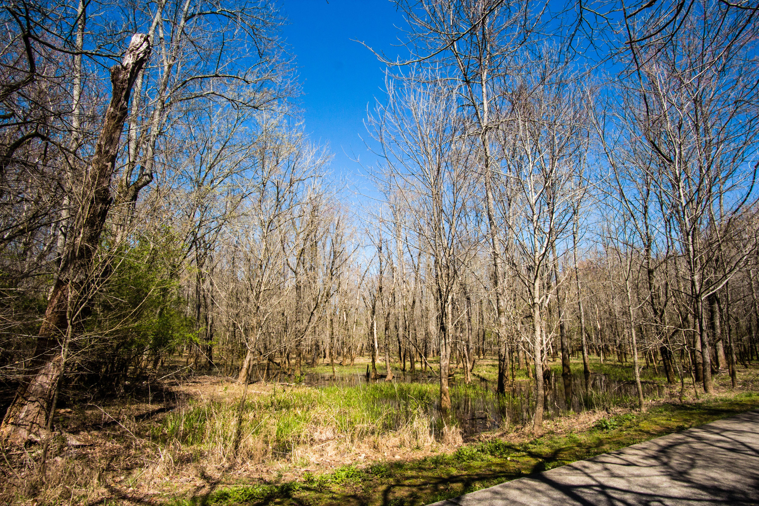
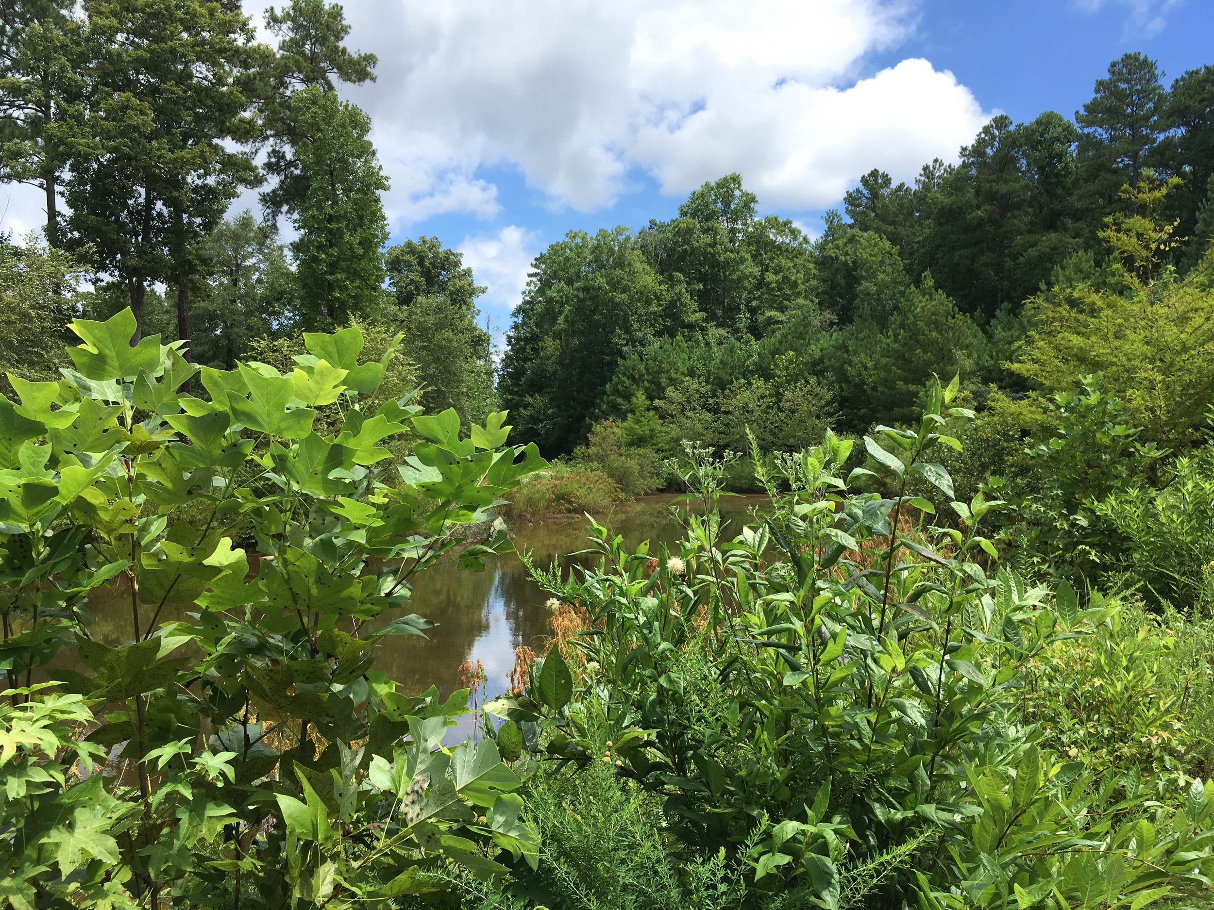
Sibley Pond, September 2, 2021

Sibley Pond, September 2, 2021

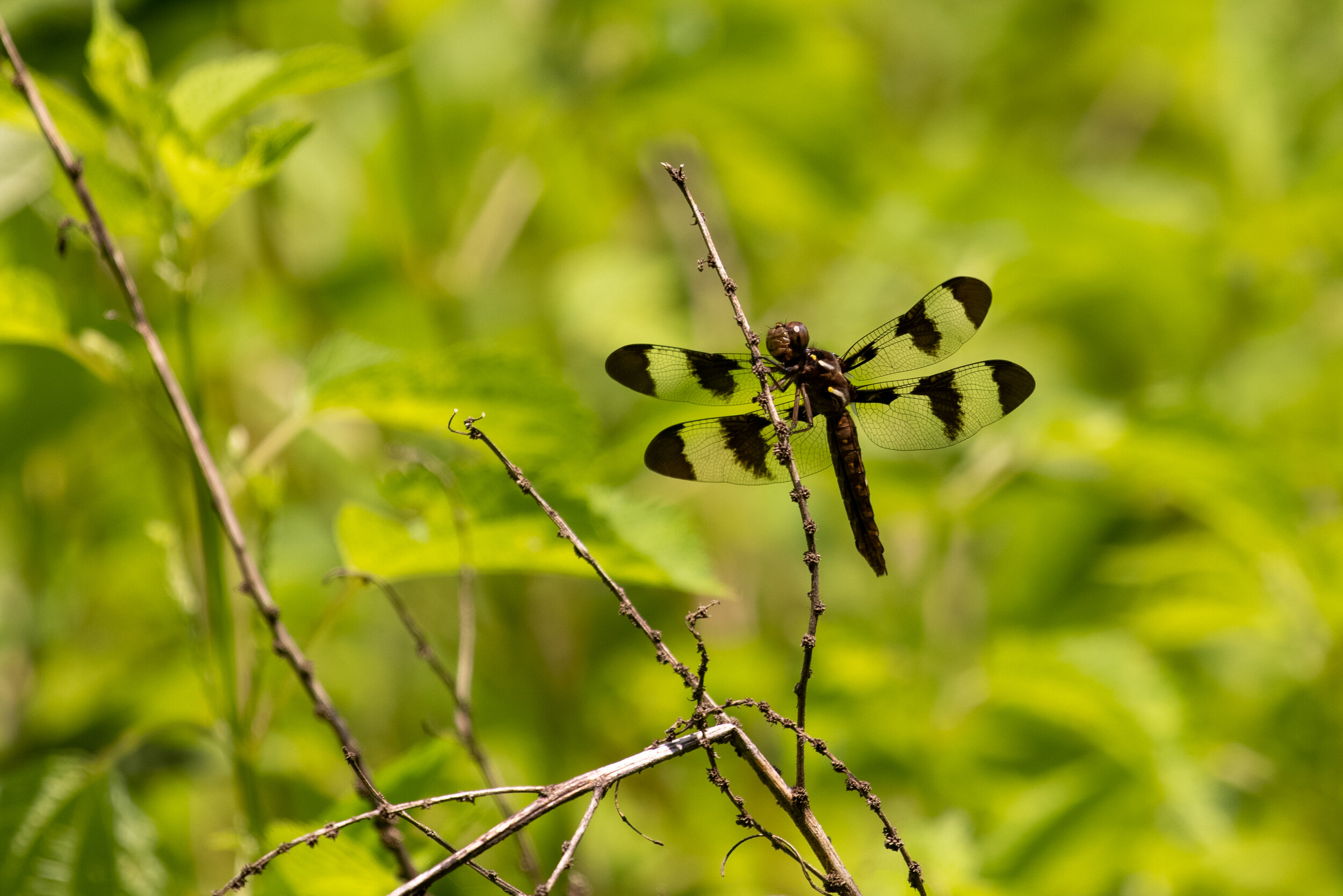
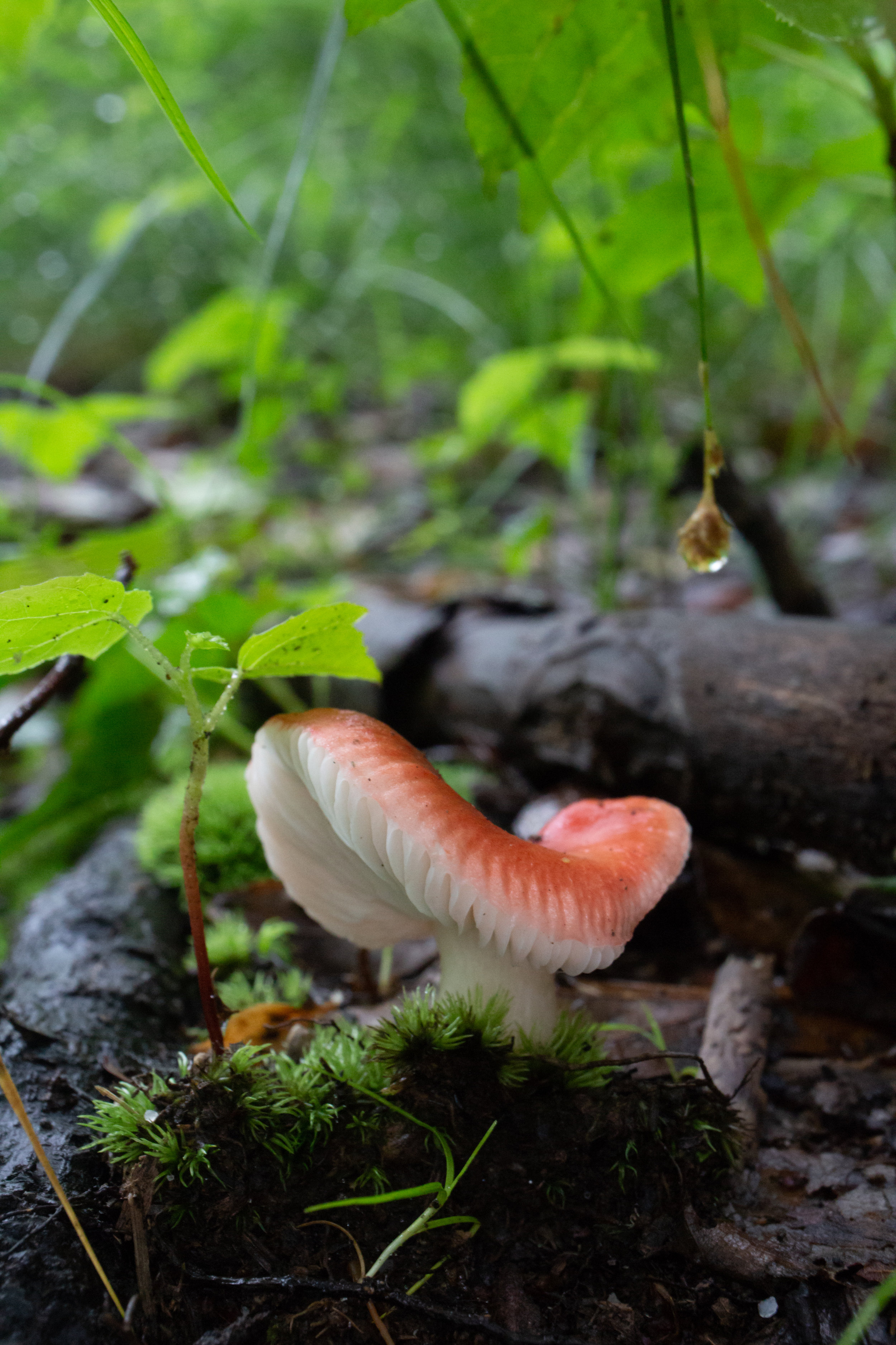
Halloween Pennant, September 2, 2021

Halloween Pennant, September 2, 2021

More photos on Flickr

Sope Creek - all

From around the web

Recent iNaturalist observations

iNaturalist
View more observations near Sope Creek Unit - Chattahoochee River National Recreation Area on iNaturalist »

Random eBird sightings from the last 30 days

Good to combine with:

Featured
Chattahoochee River National Recreation Area: Cochran Shoals (Columns Drive & Interstate North)
Chattahoochee River National Recreation Area: Johnson Ferry South
Chattahoochee River National Recreation Area: Powers Island

Updated January 6, 2017, April 15, 2017, and September 2, 2021

September 02, 2021 /Shawn Taylor
atlanta page 3, north metro, 3+ miles of trails, near: johnson ferry south, mountain biking, near: cochran shoals, near: powers island
parks
Comment
big-creek-greenway.png

Big Creek Greenway

Big Creek Greenway
July 24, 2021 by Shawn Taylor in parks

Address: There are many access points for the trail. The southernmost one is at Big Creek Park, at the intersection of Old Alabama and Belcourt Pkwy
Cost of admission: Free
Governance: City of Roswell, City of Alpharetta, and Forsyth County
Acres: N/A
Approximate miles of trails: About 24 miles of greenway, plus several adjacent hiking and mountain biking trails. The Alpharetta/Roswell section has 8 miles and the Forsyth County section has 16 miles
Hours: March thru October – 6:00 am to 9:30 pm, November thru February – 6:00 am to 7:00 pm
Miles from downtown Atlanta: 21 (southern end), 38 (northern end)
Transit directions: There are a few convenient access points. All buses depart from North Springs Station.

  1. You can take the 140 or 141 to North Point Pkwy @Mansell Rd and walk east until you reach the greenway.

  2. You can take the 140 or 141 to North Point Pkwy @ North Point Ct and walk south on Haynes Bridge Road to the Haynes Bridge trail spur.

  3. You can take the 140 to North Point Pkwy @ Old Milton Pkwy or take the 185 to Old Milton Pkwy @ North Point pkwy (same intersection) and go southeast on Old Milton Pkwy. On the north side of the road, you'll see stairs leading down to the trail.

Trail surface: Mostly paved with some boardwalk, also with some natural-surface alternate routes or spurs

Amenities:

  • Restrooms

  • Water fountains

  • Bike rentals

Links:
Big Creek Greenway
Maps
Forsyth County map

March 19, 2017

March 19, 2017

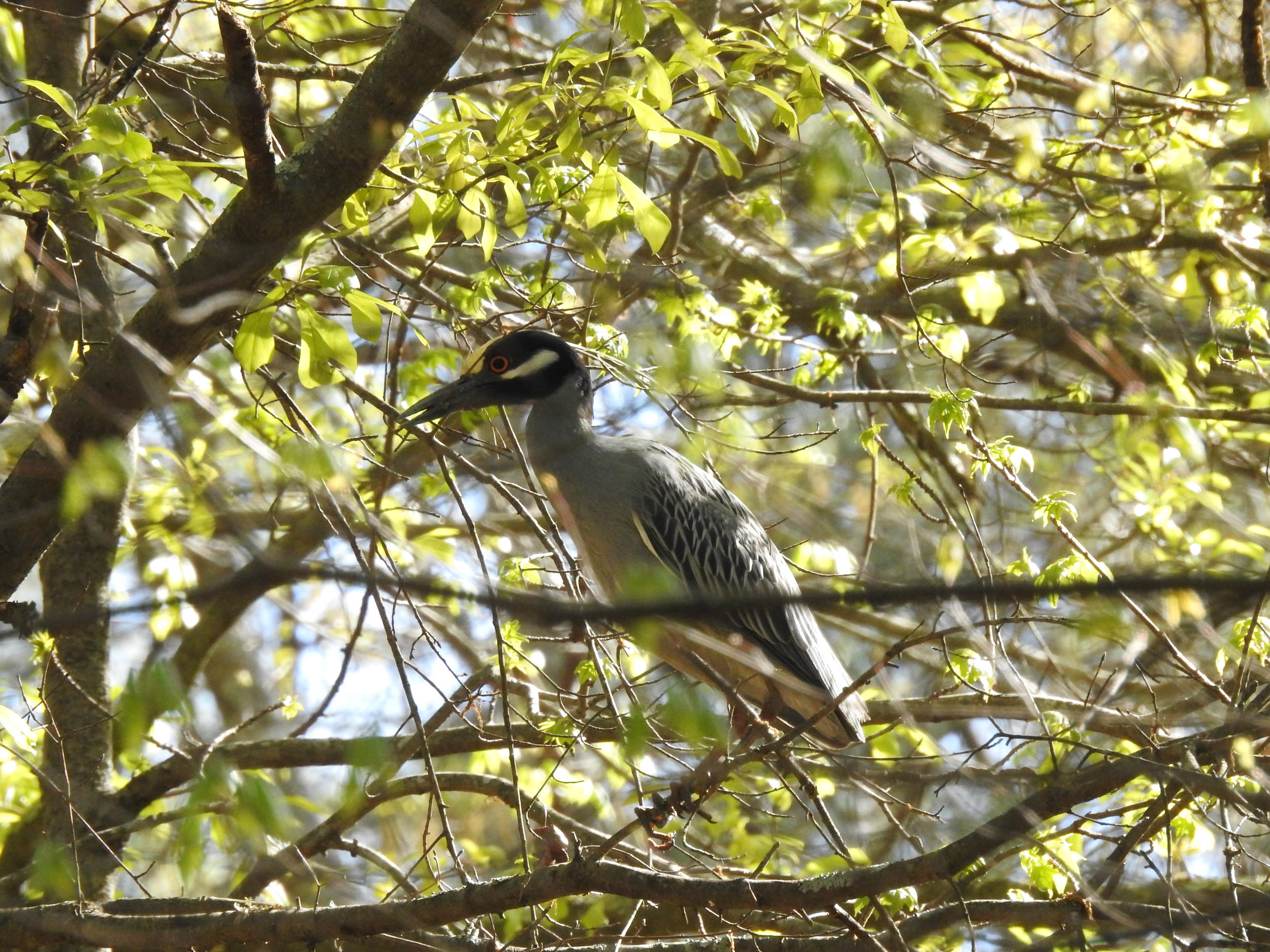
Yellow-crowned Night-Herons, April 8, 2017

Yellow-crowned Night-Herons, April 8, 2017

March 19, 2017

March 19, 2017

March 19, 2017

March 19, 2017

March 19, 2017

March 19, 2017

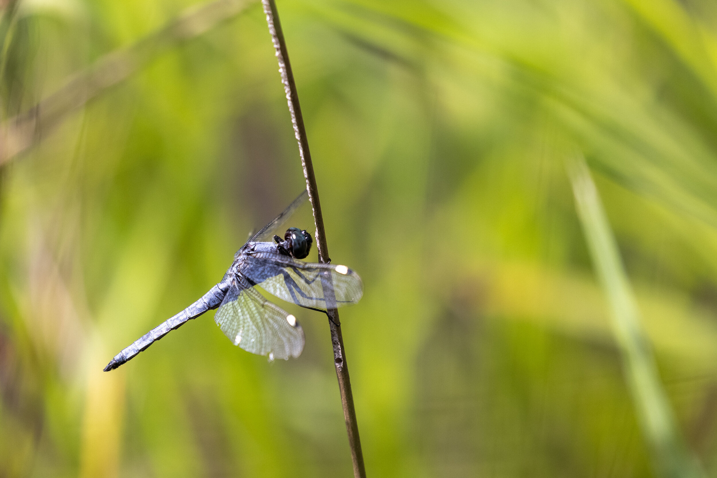
Common Whitetail, July 24, 2021

Common Whitetail, July 24, 2021
Sweetheart moth, July 24, 2021
Sweetheart moth, July 24, 2021

Good to combine with:

Featured
Roswell Riverwalk
Roswell Riverwalk
Big Creek Park
Big Creek Park
Chattahoochee River National Recreation Area: Vickery Creek

Updated April 30, 2017 and July 24, 2021

July 24, 2021 /Shawn Taylor
atlanta page 3, near:big creek park, near bus-5 min, multi-use path, free admission, north metro, mountain biking, 5+ miles of trails, near: vickery creek, near: roswell riverwalk
parks
Comment

Chattahoochee River National Recreation Area: Cochran Shoals (Columns Drive & Interstate North)

Cochran Shoals
June 26, 2021 by Shawn Taylor in parks

This unit connects to Sope Creek via trails. Mountain bikes are allowed on some segments of both Sope Creek and Cochran Shoals. Note: some of the mountain bike trails are one-way only. They change direction based on the day. Hikers hike in the opposite direction of bikes.

Address: 150 Columns Dr SE, Marietta, GA 30067
Cost of admission: $5/day parking fee per car
Governance: NPS
Acres: 968, including Sope Creek, Interstate North, and Powers Island sections
Approximate miles of trails: 4 (more if combined with Sope Creek)
Hours: Dawn to dusk, exact park hours are posted at the trailheads
Miles from downtown Atlanta: 12
Transit directions: Take the CobbLinc 10 bus from Arts Center Station to the Cumberland Transfer Center. At the Cumberland Transfer Center, transfer to the CobbLinc 50 to Powers Ferry Rd + Rivers Apartments. Walk southeast on Powers Ferry. Take a left on the multi-use path along Interstate N Pkwy. The multi-use pathway ends at the entrance to Cochran Shoals.
Transfers between CobbLinc (formerly Cobb Community Transit — CCT) and MARTA are free, so taking the train to and from Arts Center will not cost extra. But be aware you will need a Cobb pass or cash to board a Cobb bus when not making a transfer. Cobb trips can be added to your Breeze Card at any Breeze station.
Cycling directions: Cochran Shoals is adjacent to the Akers Mill trail, which is a multi-use path
Parking: Parking is available at both trailheads for $5/day. Annual passes are available.
Trailhead(s): There are two Cochran Shoals trailheads. One is "Interstate North" on Eugene Gunby Rd, just off of Interstate N Pkwy. The other is at the end of Columns Drive. Sope Creek is connected to Cochran Shoals and has its own trailhead.
Trail surface: Mostly natural, some gravel and boardwalk
Blazes/markings: Each trail intersection has signage
Restrooms: There are restrooms at each of the trailheads
Geocaching: No
Guidebook mentions: Chapter 53 of Hiking Atlanta's Hidden Forests (1st edition), page 90 in Hiking the Hooch (1st edition), trip 80 in Afoot & Afield Atlanta (2nd edition), chapter J (page 317) in Hiking Georgia (4th edition)

Nearby amenities/conveniences:

  • Gas and food are available along Powers Ferry about 0.4 mi from Interstate North trailhead

Links:

  • NPS trail map (PDF)

  • SORBA (mountain bike trails)

May 16, 2015

May 16, 2015

Cottonwood fluff, May 16, 2015

Cottonwood fluff, May 16, 2015

April 15, 2017

April 15, 2017

April 15, 2017

April 15, 2017

April 15, 2017

April 15, 2017

Gunby Creek, April 12, 2018

Gunby Creek, April 12, 2018

April 12, 2018

April 12, 2018

April 12, 2018

April 12, 2018

Chattahoochee River, April 12, 2018

Chattahoochee River, April 12, 2018

Spangled Skimmer, June 26, 2021

Spangled Skimmer, June 26, 2021

More photos on Flickr:

Cochran Shoals - all

From around the web

Recent iNaturalist observations

iNaturalist
View more observations near Chattahoochee River - Cochran Shoals Unit on iNaturalist »

Random eBird sightings from the last 30 days


Good to combine with:

Featured
Chattahoochee River National Recreation Area: Sope Creek
Chattahoochee River National Recreation Area: West Palisades
Chattahoochee River National Recreation Area: Johnson Ferry South
Chattahoochee River National Recreation Area: Powers Island
Chattahoochee River National Recreation Area: Johnson Ferry North

Updated November 7, 2016, April 15, 2017, April 12, 2018, & June 26, 2021

June 26, 2021 /Shawn Taylor
atlanta page 2, near bus-10 min, north metro, 3+ miles of trails, mountain biking, near: west palisades, near: sope creek, near: powers island, near: johnson ferry south
parks
Comment
big-creek-greenway.png

Big Creek Park

Big Creek Park
August 11, 2018 by Shawn Taylor in parks

Address: 1600 Old Alabama Rd, Roswell, GA 30076
Cost of admission: None
Governance: City of Roswell
Acres: 160
Approximate miles of trails: 1.4 miles of unpaved hiking trails + 7 miles of mountain bike trails; connects to 7 miles of Big Creek Greenway
Hours: Dawn to dusk
Miles from downtown Atlanta: 22
MARTA directions: From North Springs Station, take the 140 or 141 to North Point Pkwy @ Mansell Rd (the first stop after the Mansell Rd Park & Ride). From there, walk East on Mansell Rd. The path will be on the right. Once on the path, take the first left. Take the first right to walk over the creek and then take another right. Continue straight to enter the park. The walking distance from the bus stop to the Big Creek Greenway paved path is about a block, but the walking distance from the bus stop to the unpaved portion is about 1.5 miles.
Parking: From the Old Alabama Road entrance, there are two parking lots 
Trailhead(s): This map shows the trailheads from the greenway and parking lots
Trail surface: Park trails are natural surface; greenway trails are paved and boardwalk

Amenities:

  • Bike rentals (at North parking lot)

  • Trash cans

  • Restroom

  • Mountain bike trails

  • Pump tracks

Links:
City of Roswell
RAMBO

March 19, 2017

March 19, 2017

March 19, 2017

March 19, 2017

March 19, 2017

March 19, 2017

March 19, 2017

March 19, 2017

March 19, 2017

March 19, 2017

March 19, 2017

March 19, 2017

August 11, 2018

August 11, 2018

August 11, 2018

August 11, 2018

August 11, 2018

August 11, 2018

For more photos, see my flickr album.


From around the web

Recent iNaturalist observations

iNaturalist.org
View more observations near Big Creek Park on iNaturalist.org »

Random eBird sightings from the last 30 days


Good to combine with:

Featured
Big Creek Greenway
Jul 24, 2021
Big Creek Greenway
Jul 24, 2021
Jul 24, 2021
Roswell Riverwalk
Dec 17, 2018
Roswell Riverwalk
Dec 17, 2018
Dec 17, 2018
Chattahoochee River National Recreation Area: Island Ford
Jul 19, 2017
Chattahoochee River National Recreation Area: Island Ford
Jul 19, 2017
Jul 19, 2017
Old Mill Park
Jan 27, 2017
Old Mill Park
Jan 27, 2017
Jan 27, 2017

Updated May 21, 2017 & August 11, 2018

August 11, 2018 /Shawn Taylor
atlanta page 3, near bus-5 min, multi-use path, free admission, north metro, wetlands, 5+ miles of trails, mountain biking, near: garrard landing, near: jones bridge, near: big creek greenway
parks
Comment
sykes park.png

Sykes Park

Sykes Park
July 04, 2018 by Shawn Taylor in parks

In June 2018, two mountain bike trails opened at Sykes Park. The beginner trail was formerly a nature trail, and the intermediate trail is brand new. Hiking is allowed on both trails, but remember to hike in the opposite direction of the posted signs, since the signs are intended for bikers. The trails at Sykes Park are part of a planned network of more trails (including Southside Park) called "Ride & Fly" due to the trails' proximity to the Atlanta Airport.

Address: Earl Godfrey Cir, East Point, GA 30344
Cost of admission: None
Governance: City of East Point
Acres: 44
Approximate miles of trails: 1 now, 4 total planned
Hours: Sunrise to sunset
Miles from downtown Atlanta: 8
Parking: The park has dedicated, free parking
Trailhead(s): The trail is accessible from a few points along Earl Godfrey Cir. Trailheads are marked with signs that say which direction to bike on which day (hikers should head the opposite direction)
Trail surface: Natural
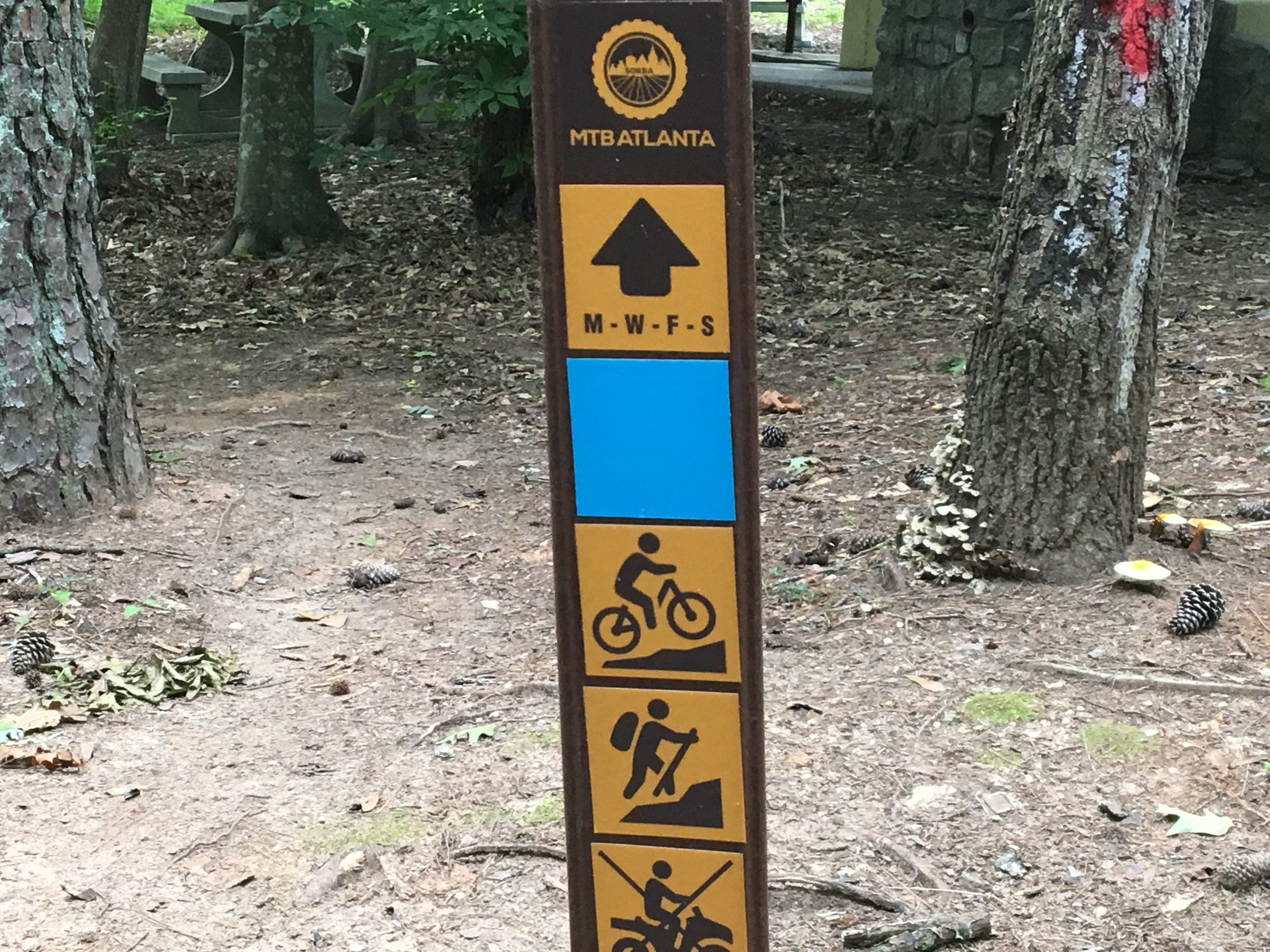
Blazes/markings: Each trail intersection is marked. Easy mountain biking trails are marked with a green circle, more difficult trails are marked with a blue square.
Guidebook mentions: None

Amenities:

  • Picnic pavilion

  • Exercise equipment

  • Restrooms

  • Basketball and tennis courts

  • Mountain biking

Links:

  • East Point

  • MTB Atlanta

July 4, 2018

July 4, 2018

Photo by Marc Turnley, July 4, 2018

Photo by Marc Turnley, July 4, 2018

Photo by Marc Turnley, July 4, 2018

Photo by Marc Turnley, July 4, 2018

Photo by Marc Turnley, July 4, 2018

Photo by Marc Turnley, July 4, 2018

Good to combine with:

  • Southside Park

  • Connally Nature Park

  • Cascade Springs Nature Preserve

  • Perkerson Park

July 04, 2018 /Shawn Taylor
atlanta page 4, near: connally nature park, near bus-5 min, free admission, near downtown-10 miles, mountain biking, itp page 2
parks
Comment
big-haynes-creek-nc.png

Big Haynes Creek Nature Center

Big Haynes Creek Nature Trail
May 28, 2018 by Shawn Taylor in parks

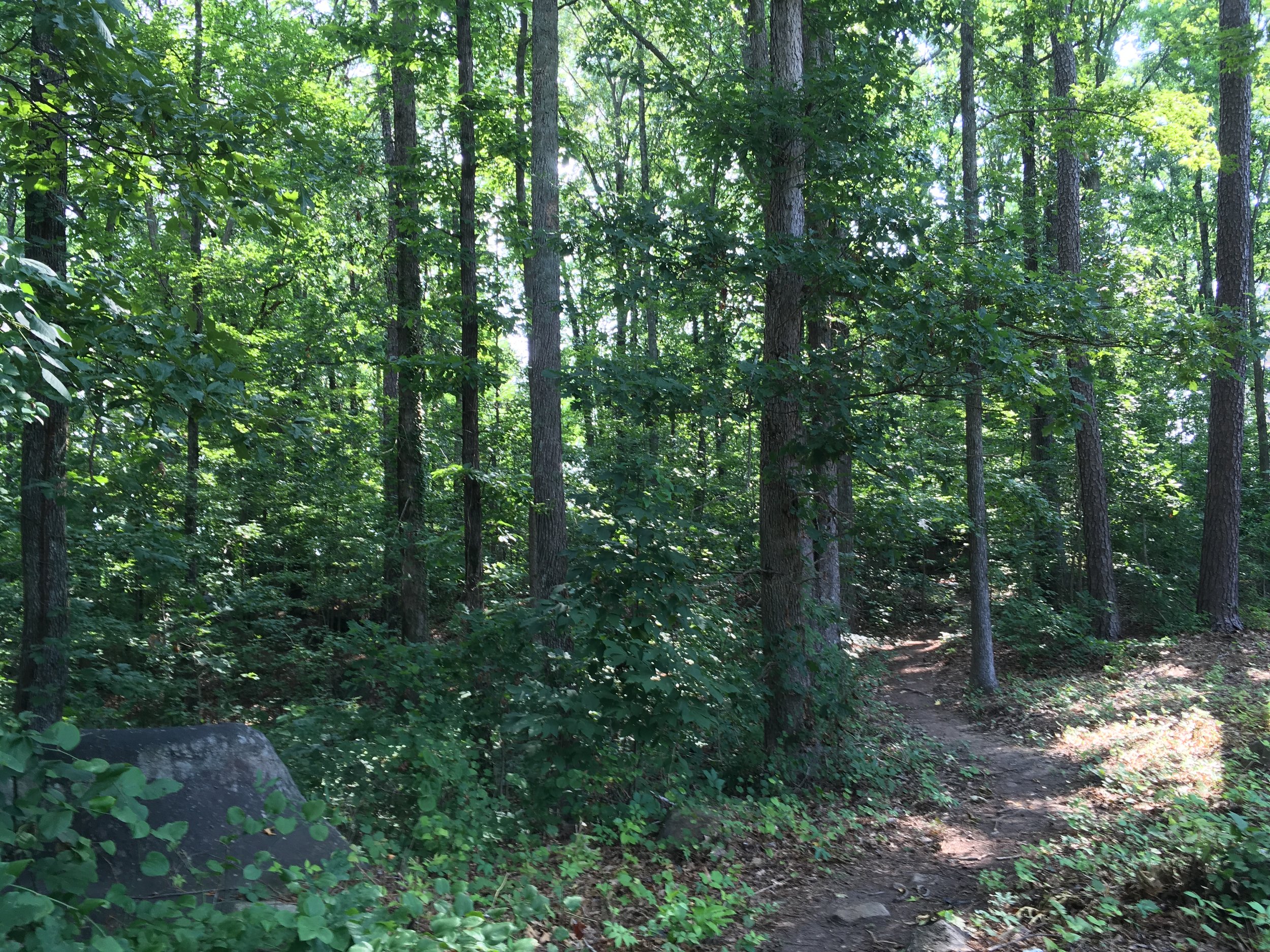
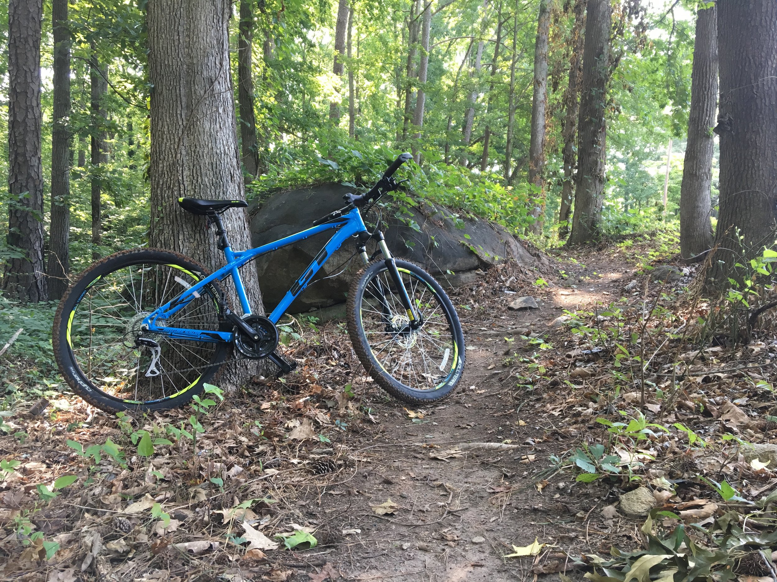
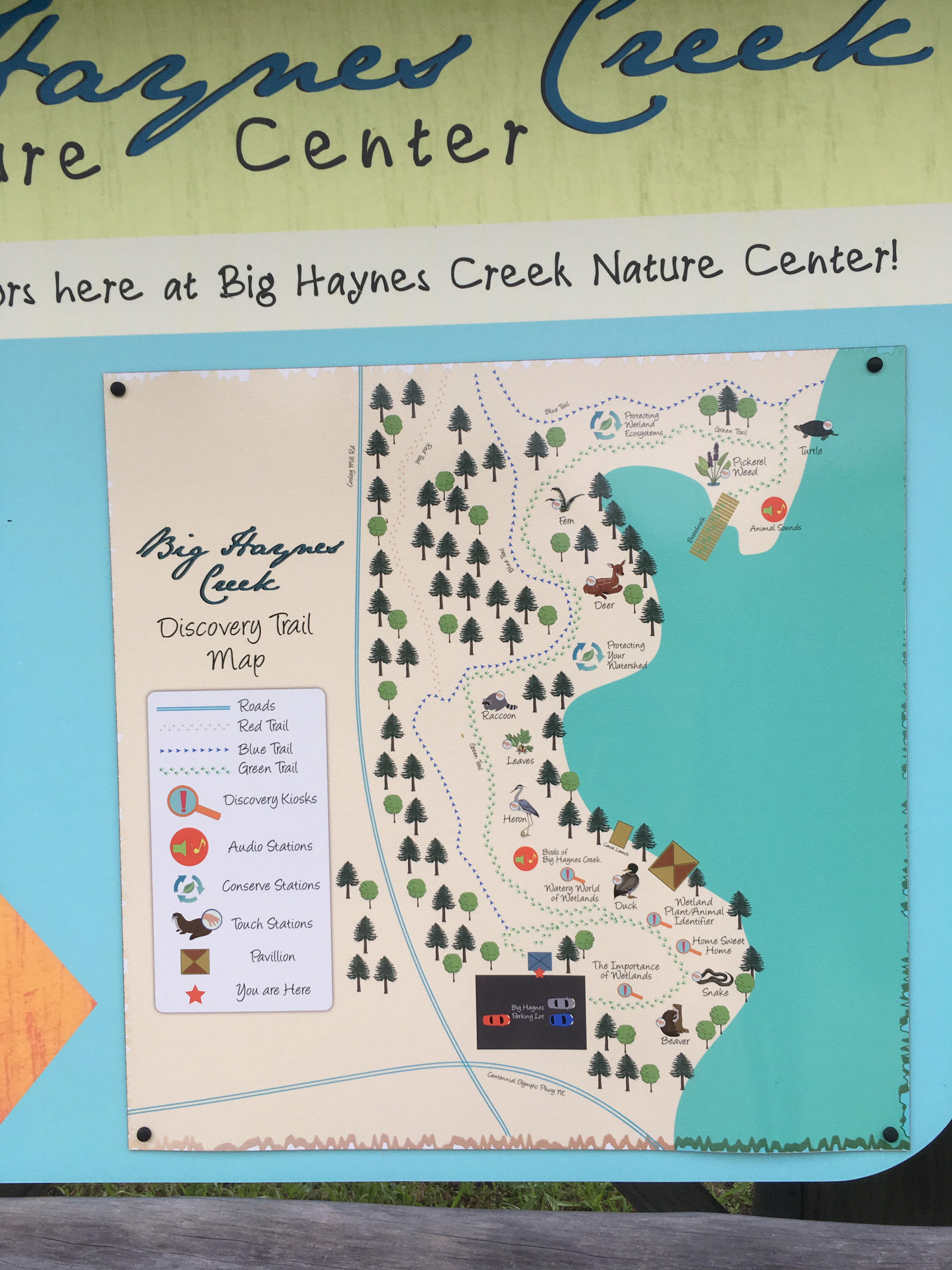
Not to be confused with Big Haynes Creek Recreation Area, Big Haynes Creek Nature Center is part of the Georgia International Horse Park, home to the equestrian events at the 1996 Olympics. These 173 acres were designated as a nature preserve and opened in 2007. The nature center features hiking, mountain biking, and equestrian trails, as well as a boat launch for canoes and kayaks. Some trails have bikes and horses separated, others are combined. Some of the trails are very wide and flat, while some are very narrow and moderately steep. Note: some of the biking and hiking trails are along granite outcrops and may be very slippery when wet.

Address: 855 Costley Mill Rd NE, Conyers, GA 30013
Cost of admission: None
Governance: Georgia International Horse Park
Acres: 173
Approximate miles of trails: Around 5 miles of trails in the nature center; around 20 miles total trails in the horse park
Hours: Sunrise to sunset
Miles from downtown Atlanta: 27
Parking and trailhead: Signs direct you to the nature center parking lot, which is across Costley Mill Rd from Gate D of the Georgia International Horse Park
Trail surface: Natural
Blazes/markings: Trails are blazed with paint on trees
Dogs allowed: Yes
Fishing allowed: No
Guidebook mentions: None

Amenities:

  • Four tent pads, grills, and a fire pit are available for approved groups

  • Boat ramp for canoes and kayaks

  • Interpretive signage

  • Equestrian and mountain bike trails (hiking appears to be permitted on both)

  • Wetlands overlook with viewfinder and bench

Links:

  • Georgia International Horse Park

  • Map (note: some trails have changed)

  • Paddling.com trip overview

IMG_2013.jpg
IMG_2019.jpg
IMG_2079.jpg
IMG_2039.jpg
IMG_8169.jpg
IMG_8208.jpg
IMG_8235.jpg
IMG_2059.jpg

For more photos, see my flickr album.


From around the web
 

Random eBird sightings from the last 30 days


Good to combine with:

  • Arabia Mountain

  • Panola Mountain

May 28, 2018 /Shawn Taylor
atlanta page 4, free admission, east metro, mountain biking, boat ramp, 5+ miles of trails, nature center, wetlands, allows dogs, near: arabia mountain, near: panola mountain
parks
Comment
southside-park.png

Southside Park

Southside Sports Complex
April 16, 2018 by Shawn Taylor in parks

Thanks to a partnership of IMBA, REI, and the City of Atlanta, mountain bike trails are being built in this under-utilized park. Southside Park is currently Atlanta's largest park (until the westside reservoir park opens) at 211 acres. There will eventually be three trail loops: beginner, intermediate, and expert, but currently only the beginner trail is open (as of April 2018). It is known as the Evergreen Trail. It is about 1.25 miles long. All the trails combined will be about 7 miles long.

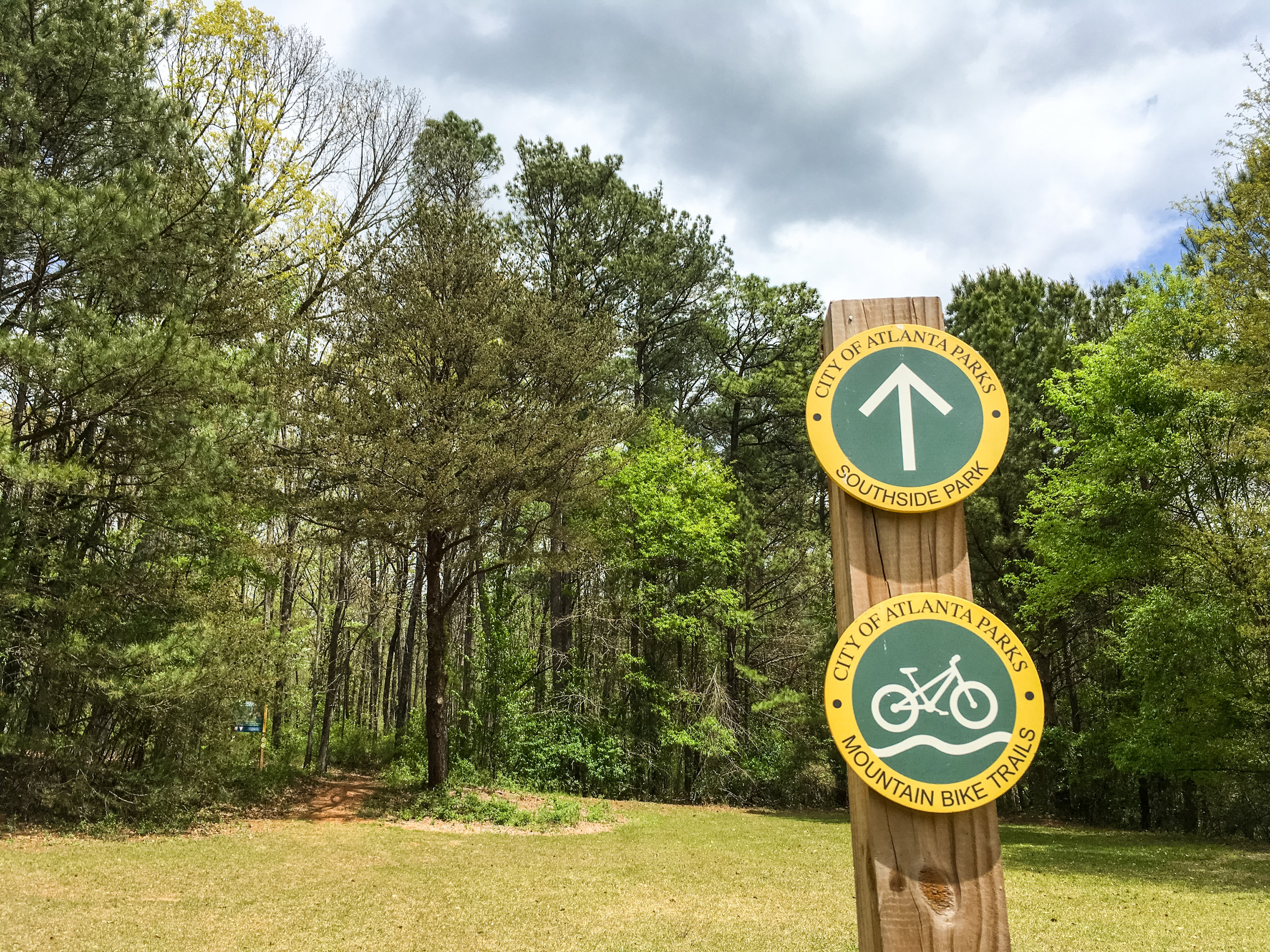
The trails are all open to hikers and runners. The trailhead signage shows which direction mountain bikers should travel based on the day of the week, and all other trail users should proceed in the opposite direction.

Check out MTB Atlanta's website for more info and a map of the planned trails.

Address: 3460 Jonesboro Rd SE, Atlanta, GA 30354
Cost of admission: None
Governance: City of Atlanta
Acres: 211
Approximate miles of trails: 1
Hours: 6:00am to 11:00pm
Miles from downtown Atlanta: 7
Parking: Parking is available at the trailhead
Trailhead(s): The trailhead is clearly marked at the north end of the parking lot
Trail surface: Natural
Blazes/markings: None
Geocaching: None

Amenities:

  • Bike racks at trailhead

  • Ball fields

  • Mountain bike trail

Links:

  • MTB Atlanta

April 14, 2018

April 14, 2018

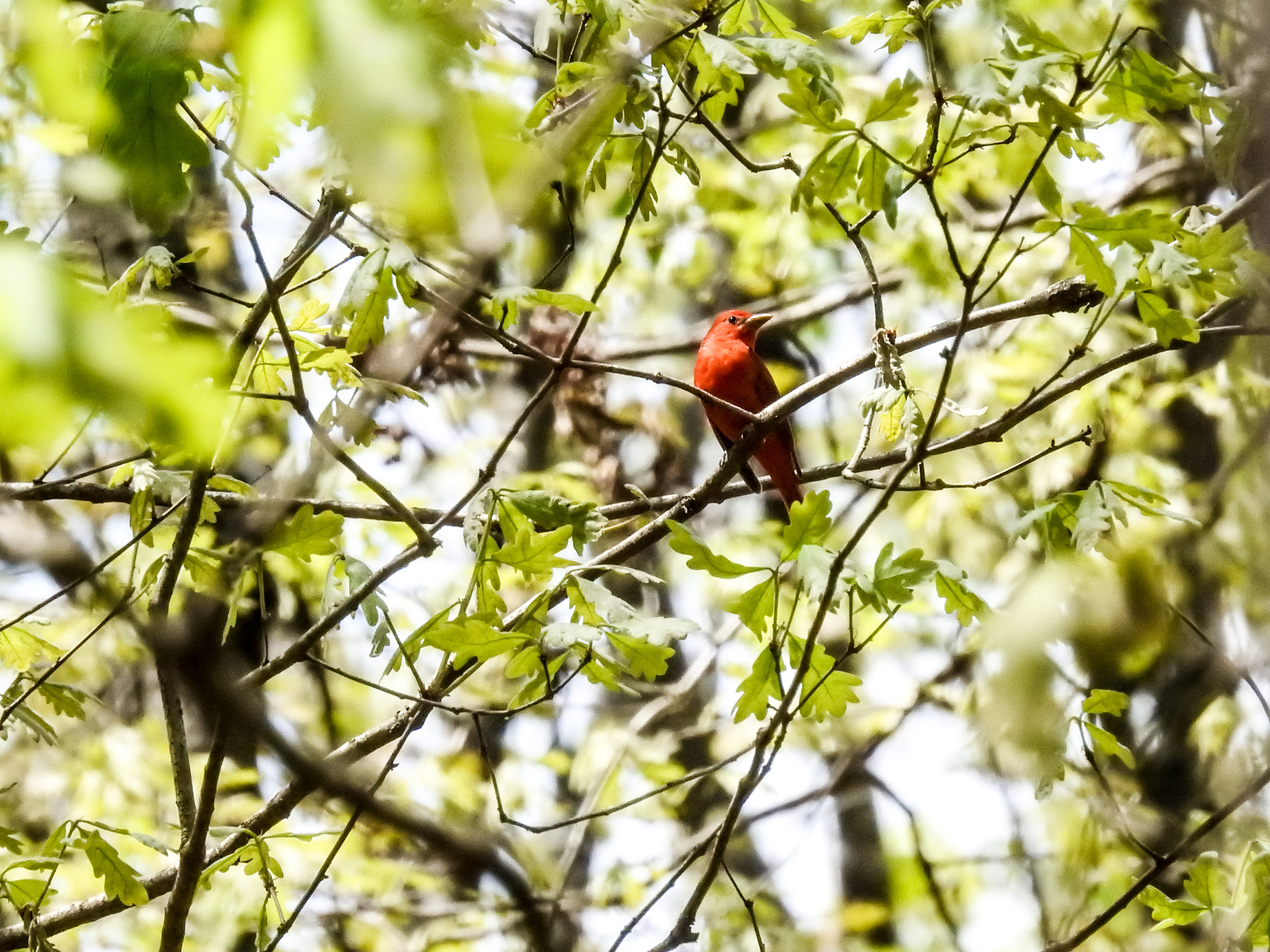
Summer Tanager, April 14, 2018

Summer Tanager, April 14, 2018

April 14, 2018

April 14, 2018

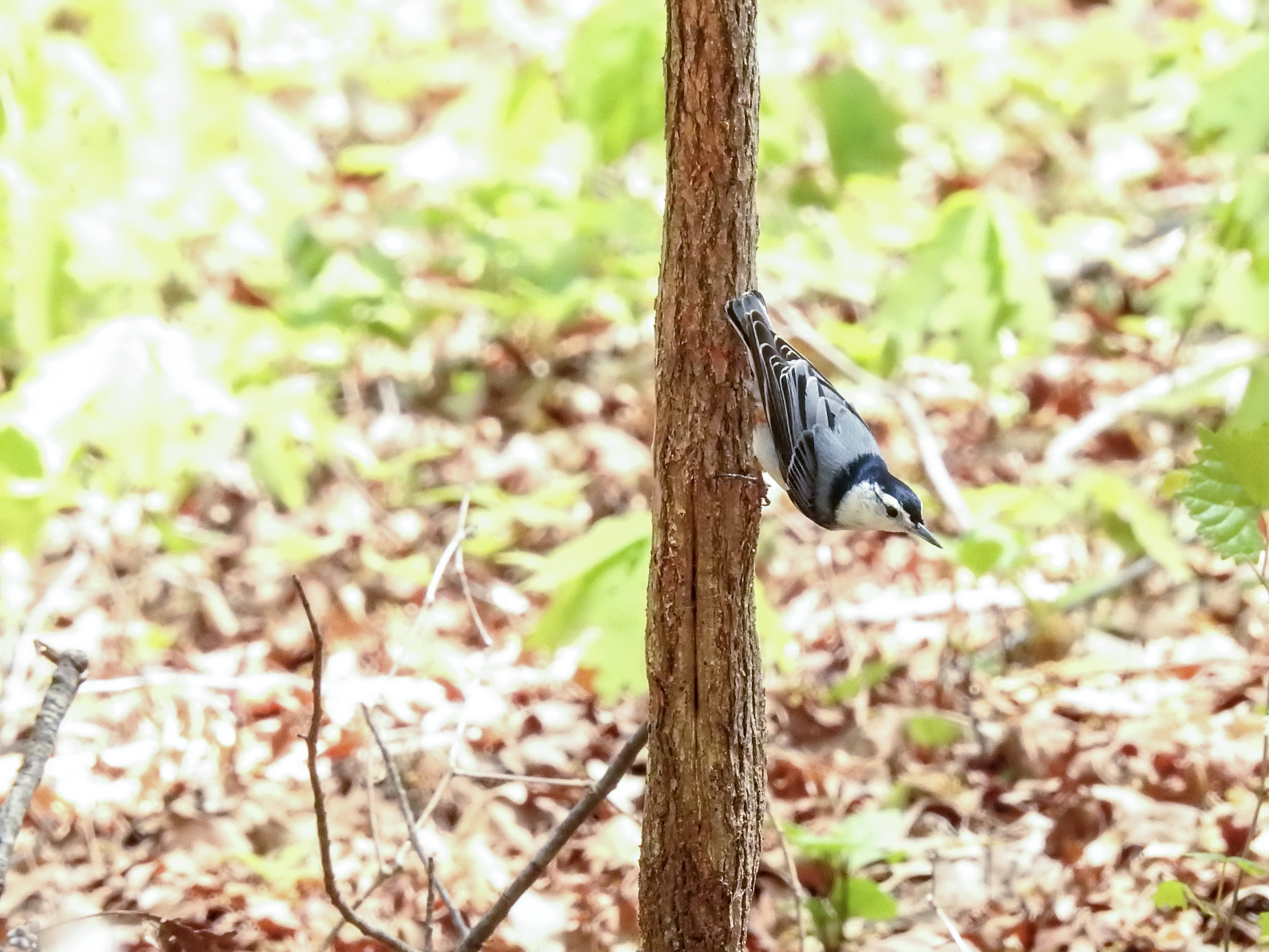
White-Breasted Nuthatch, April 14, 2018

White-Breasted Nuthatch, April 14, 2018

April 14, 2018

April 14, 2018

April 14, 2018

April 14, 2018

April 14, 2018

April 14, 2018

April 14, 2018

April 14, 2018

For more photos, see my flickr album.


From around the web

REI Hiking Project

Recent iNaturalist observations

iNaturalist.org
View more observations near Southside Park on iNaturalist.org »

Good to combine with:

  • Southtowne Trail

  • South Bend Park

  • Constitution Lakes

  • Sykes Park

April 16, 2018 /Shawn Taylor
atlanta page 4, free admission, near downtown-10 miles, mountain biking, itp page 2, near: intrenchment creek, near: reynolds nature preserve
parks
1 Comment