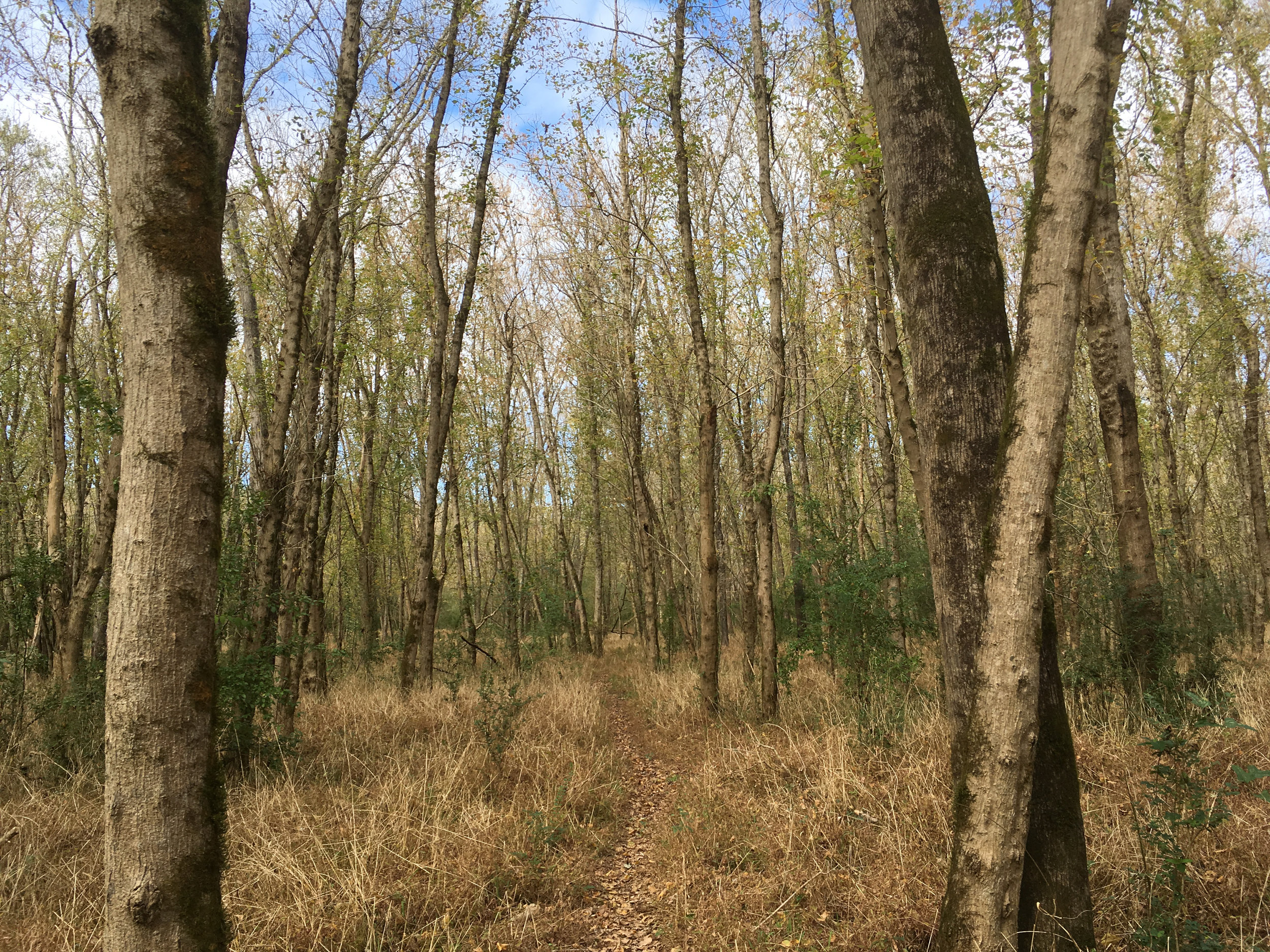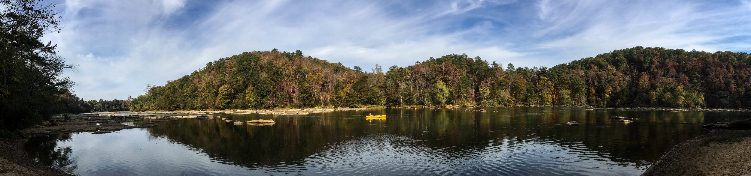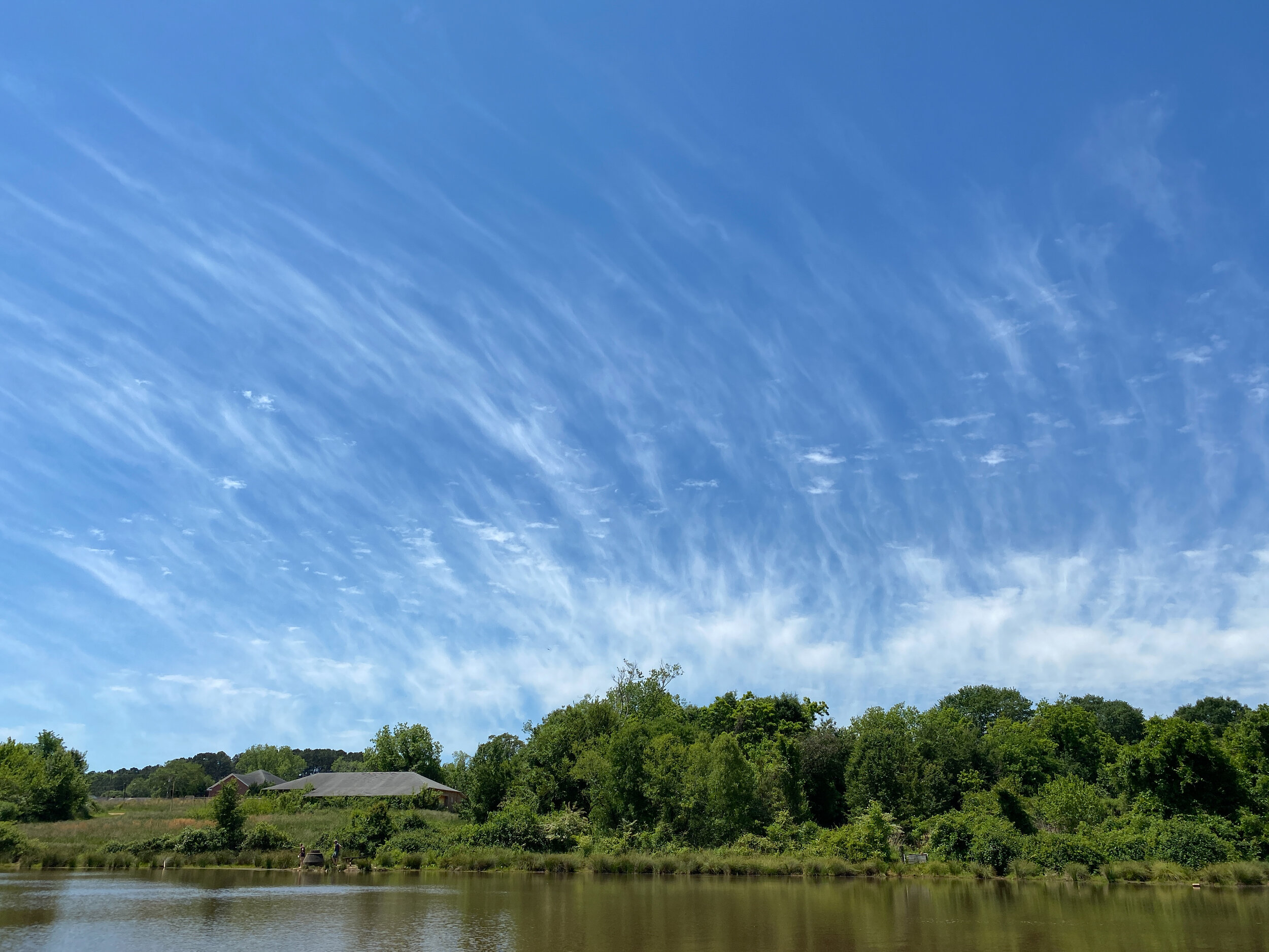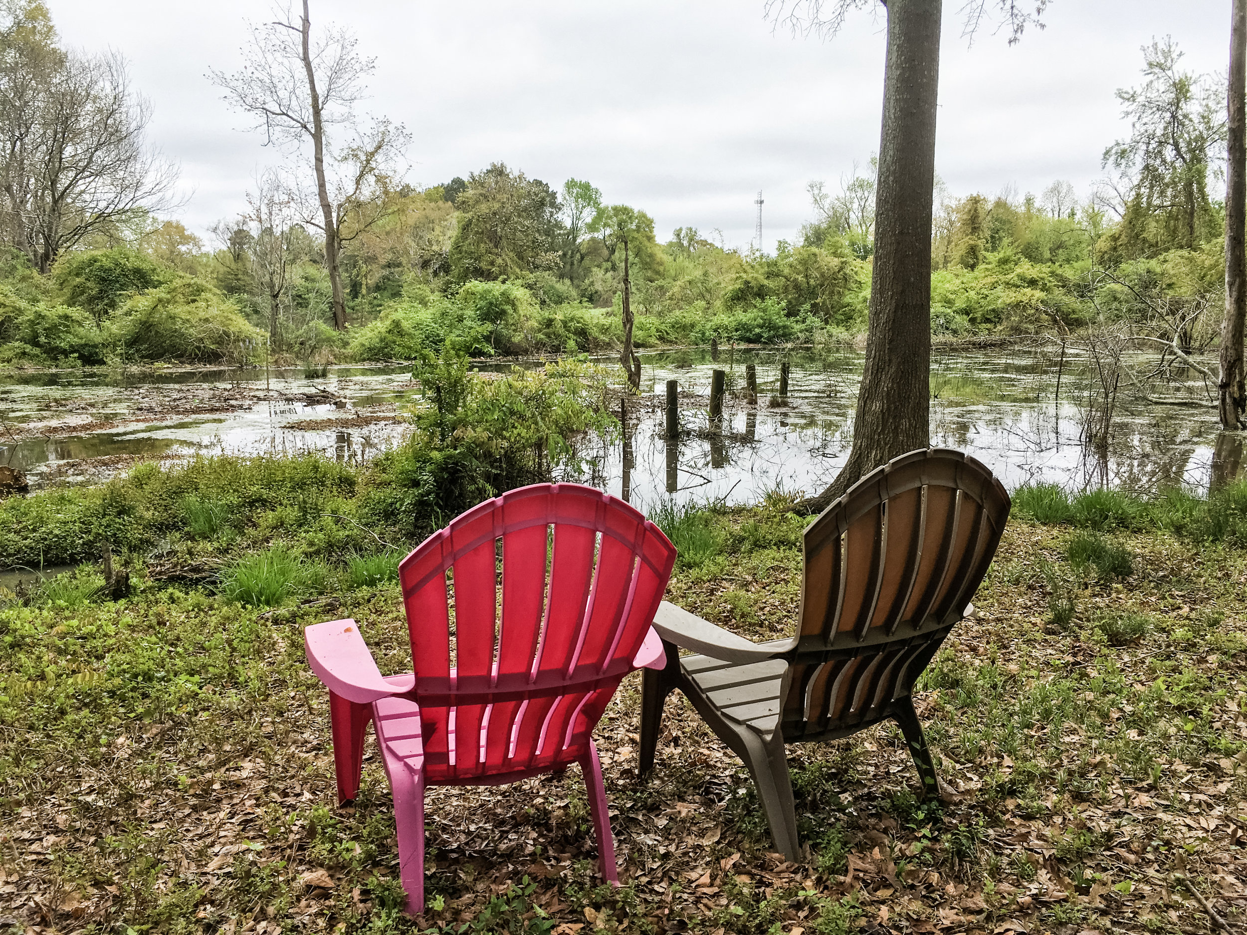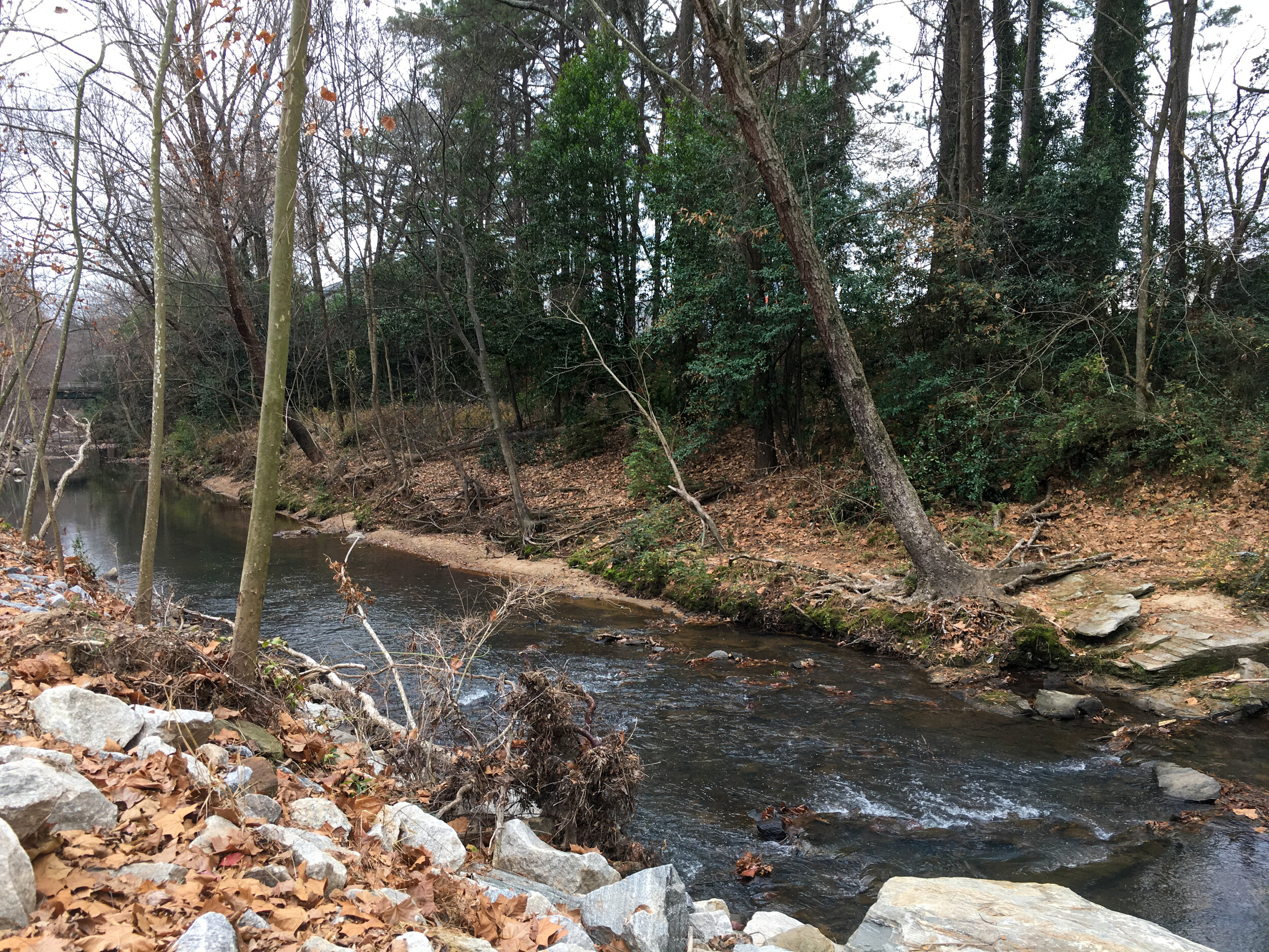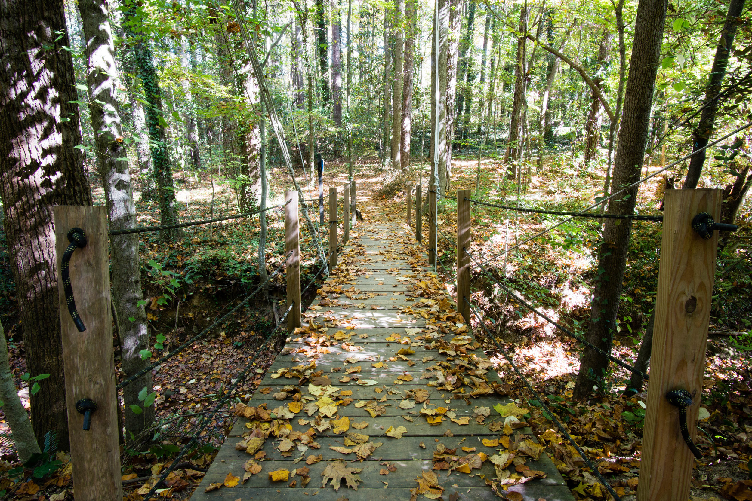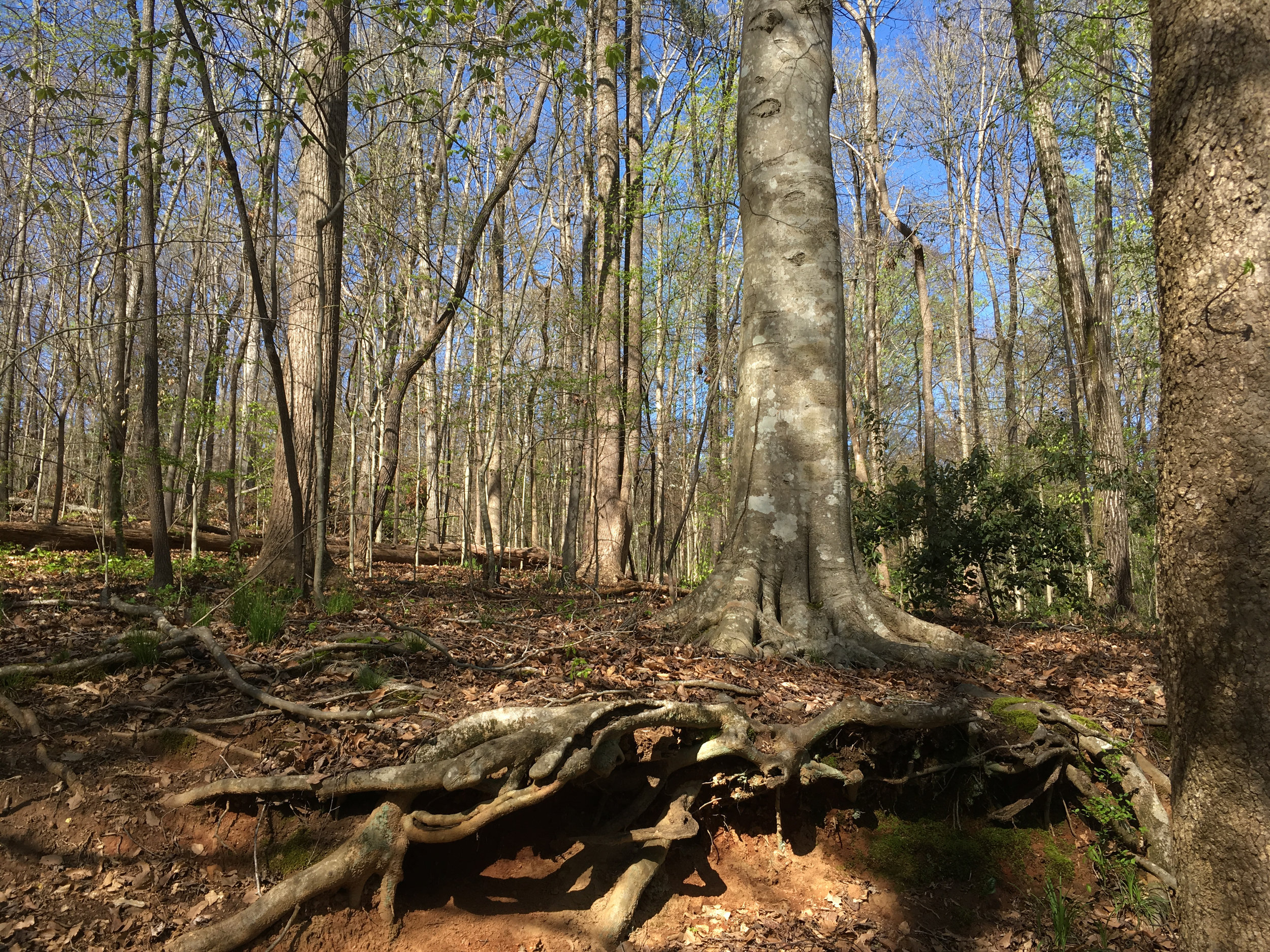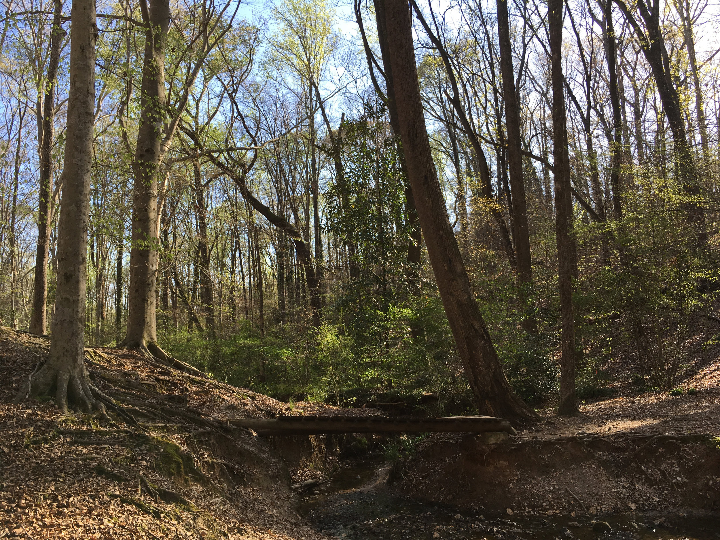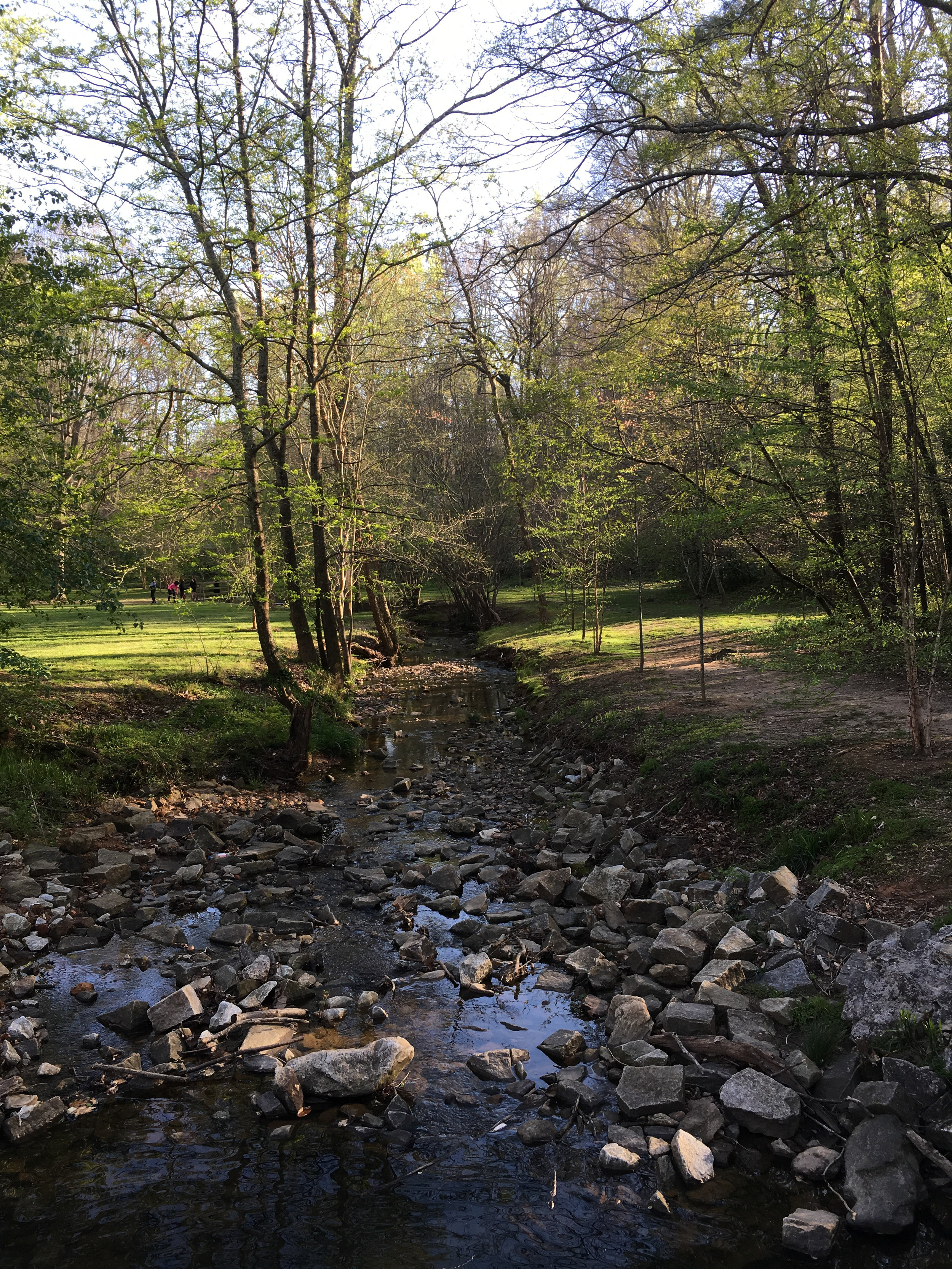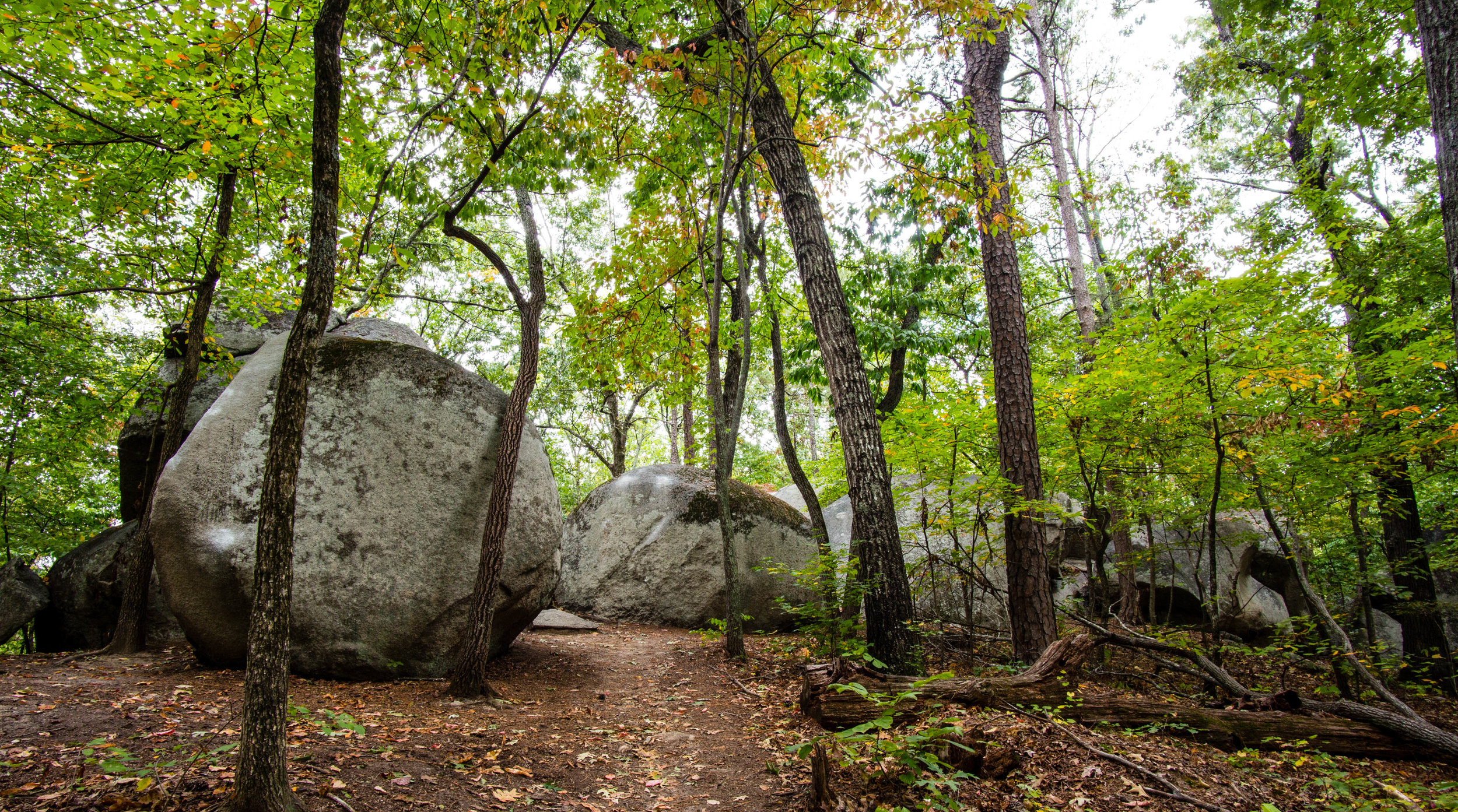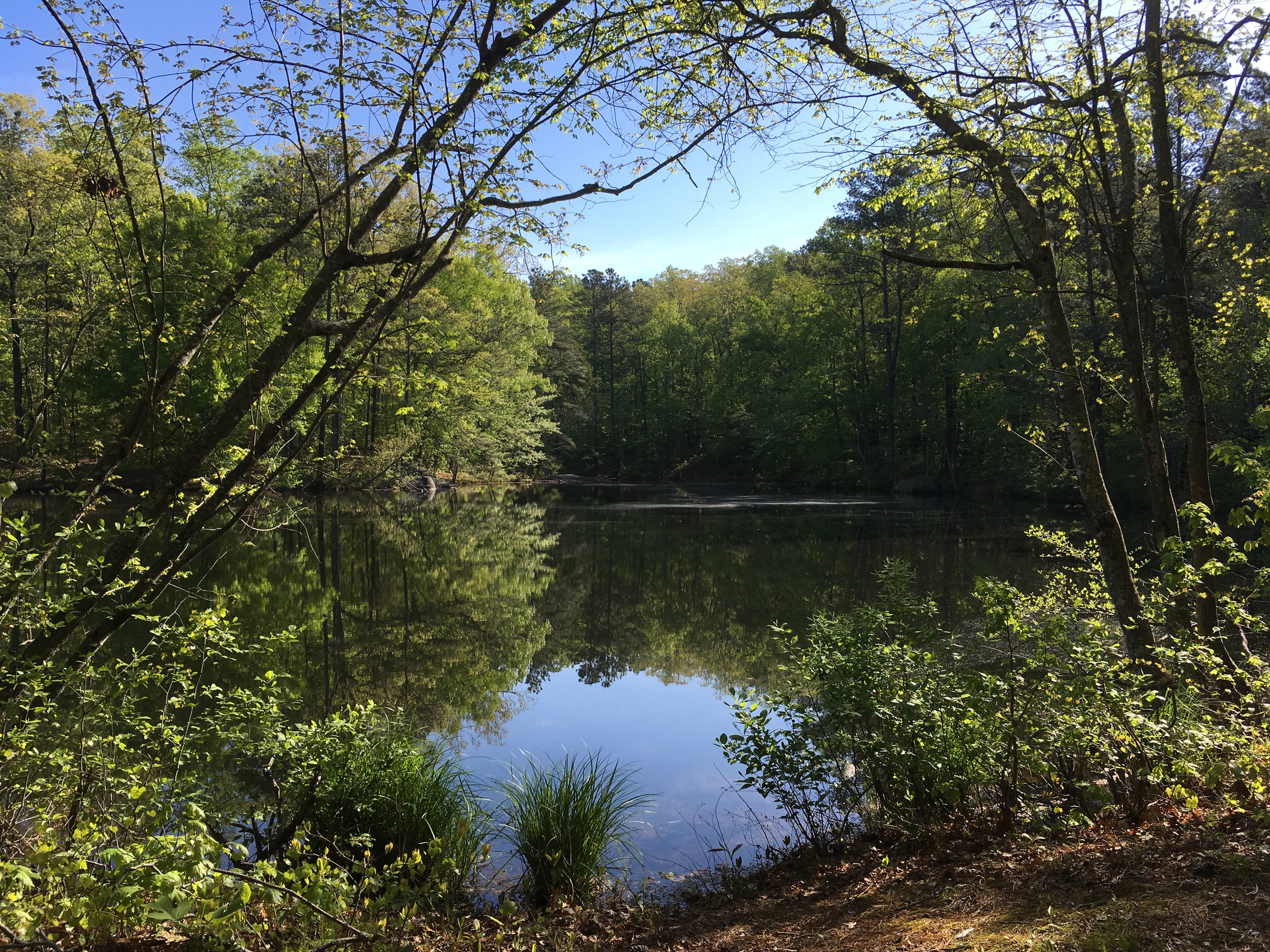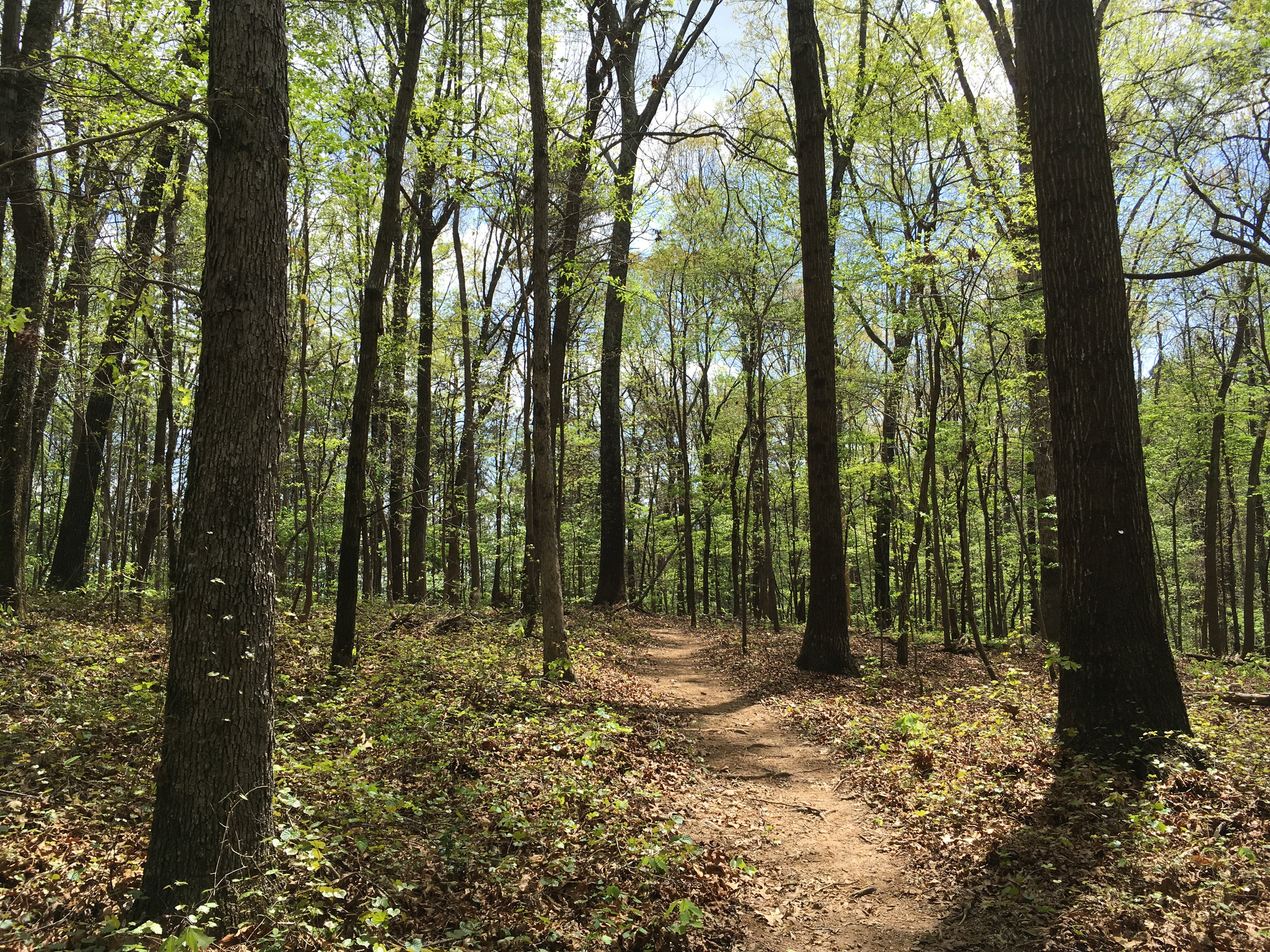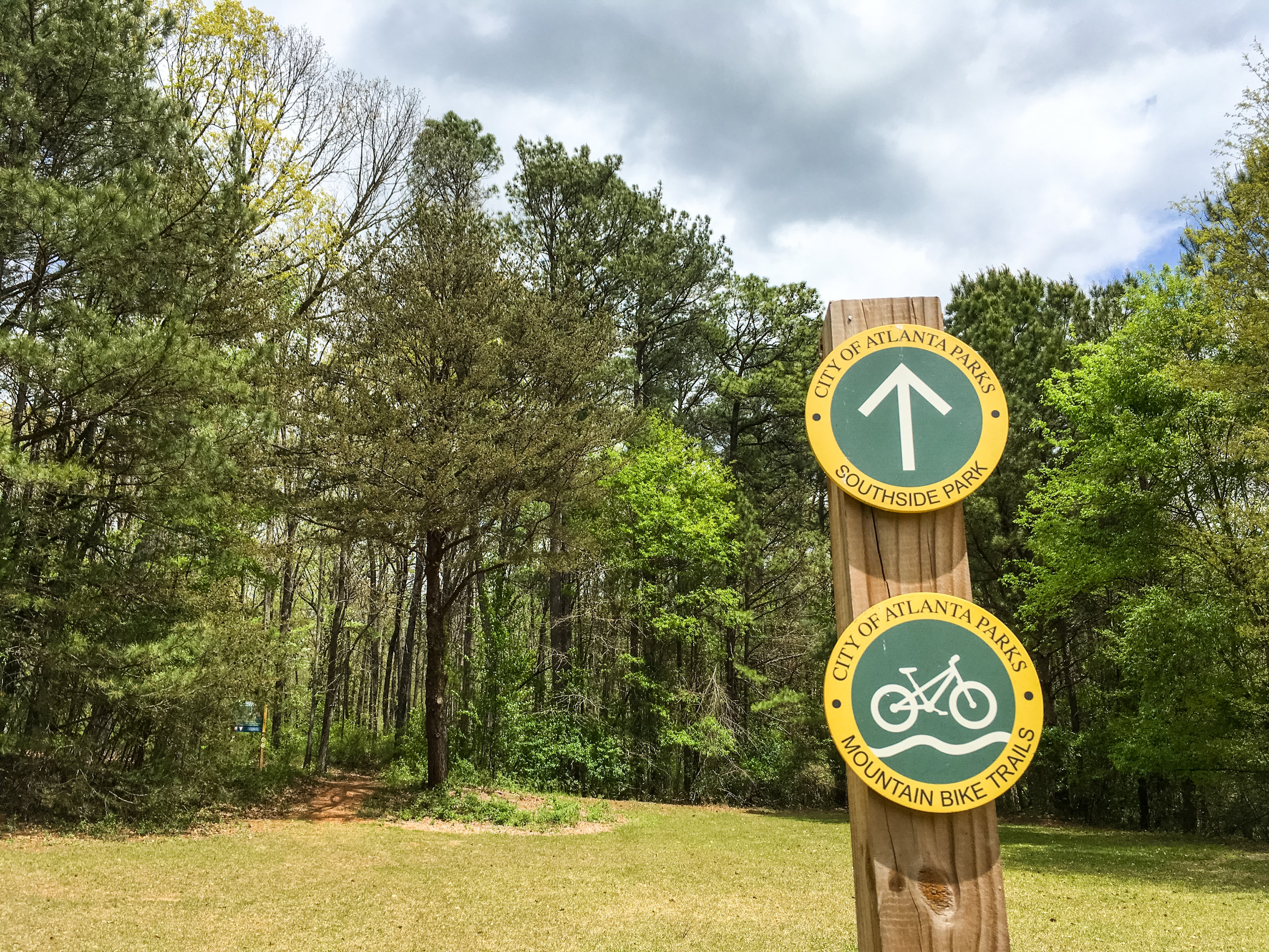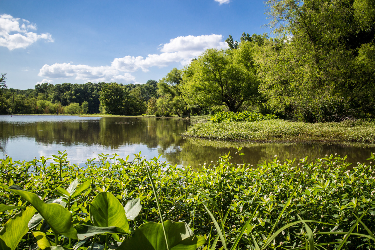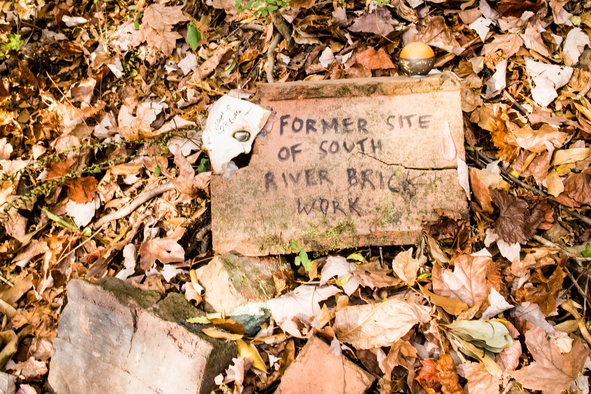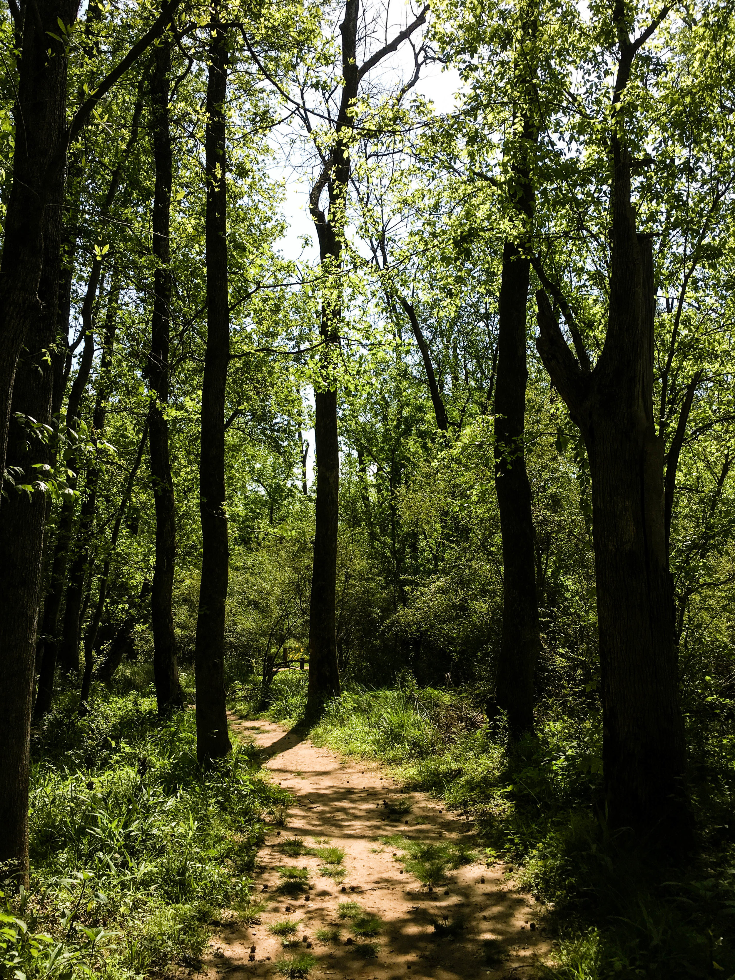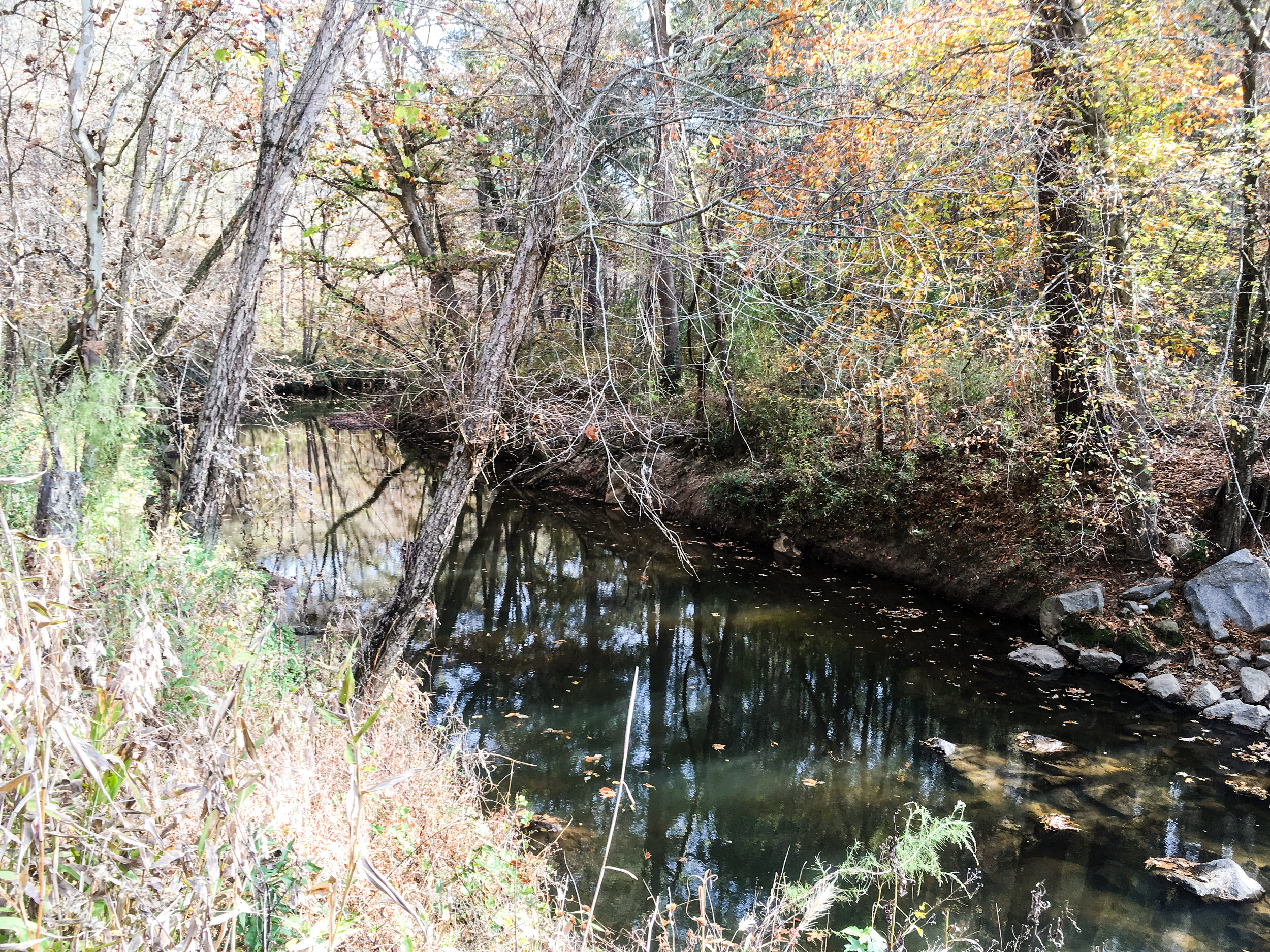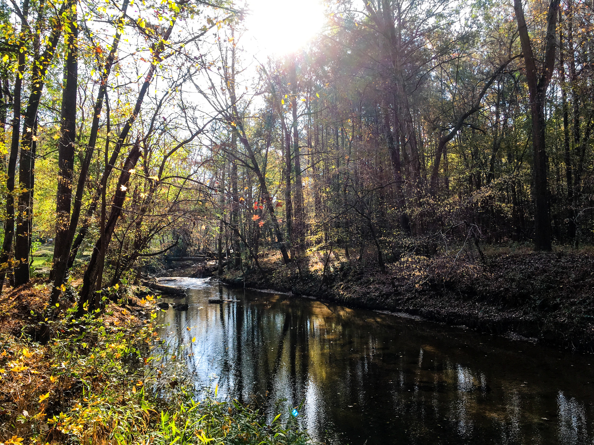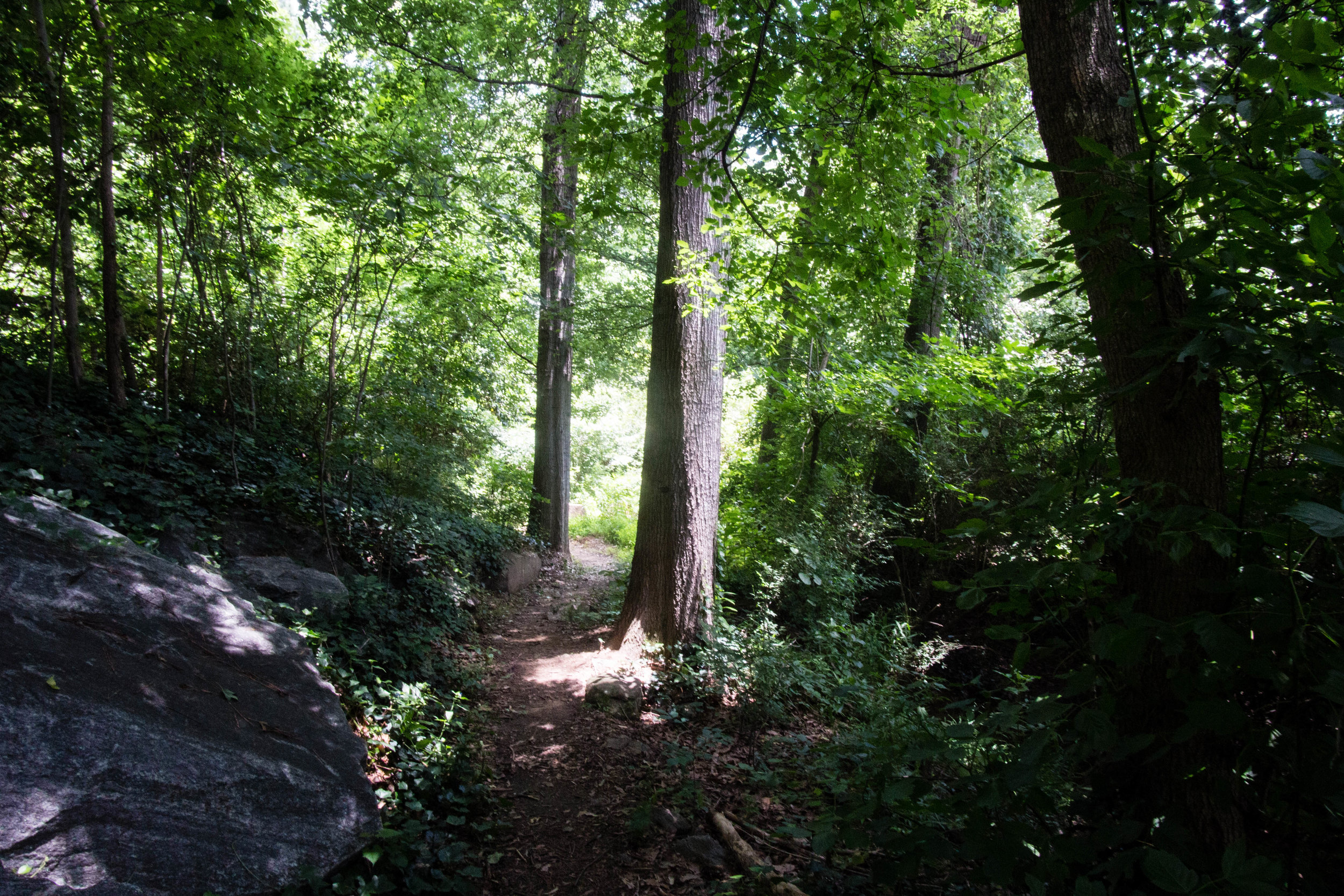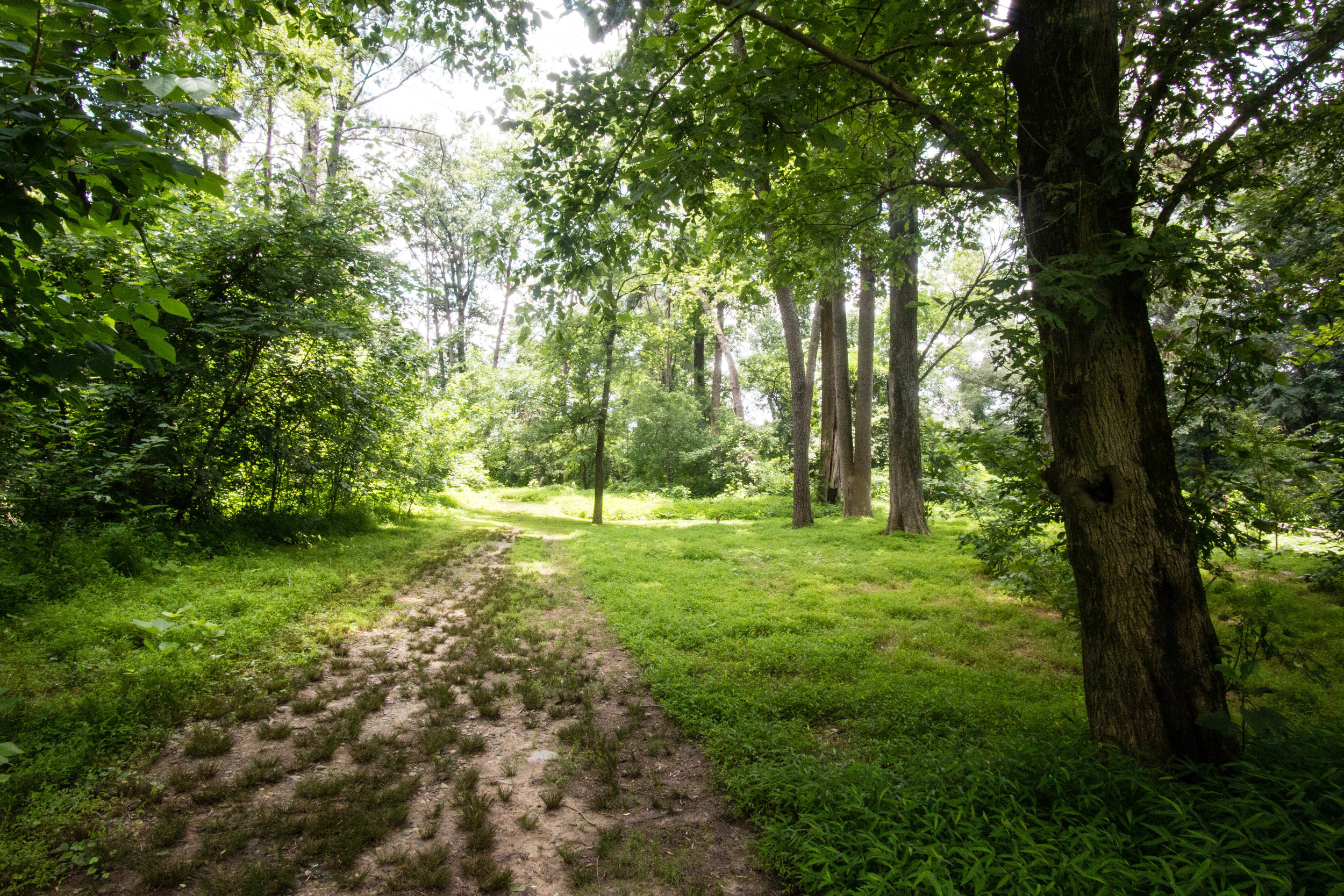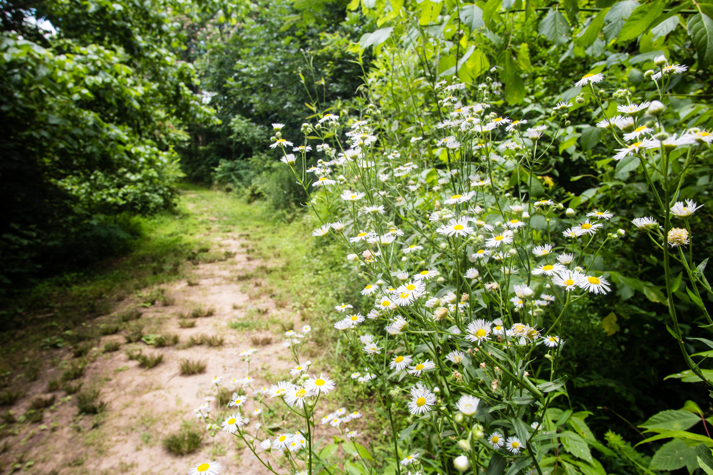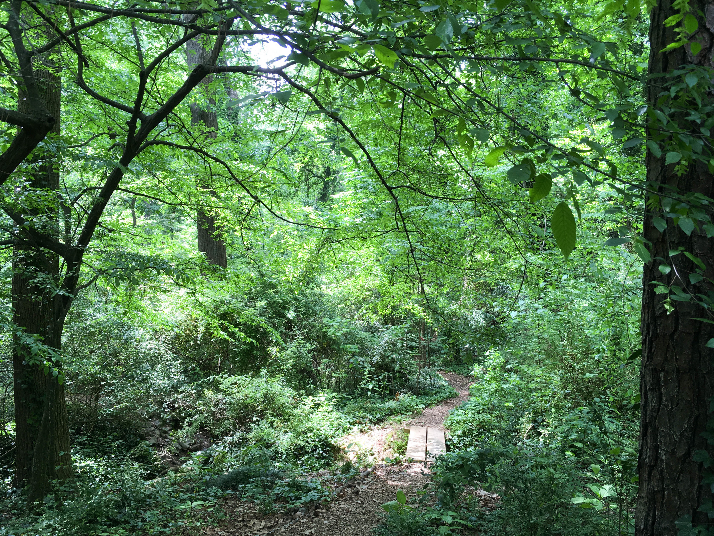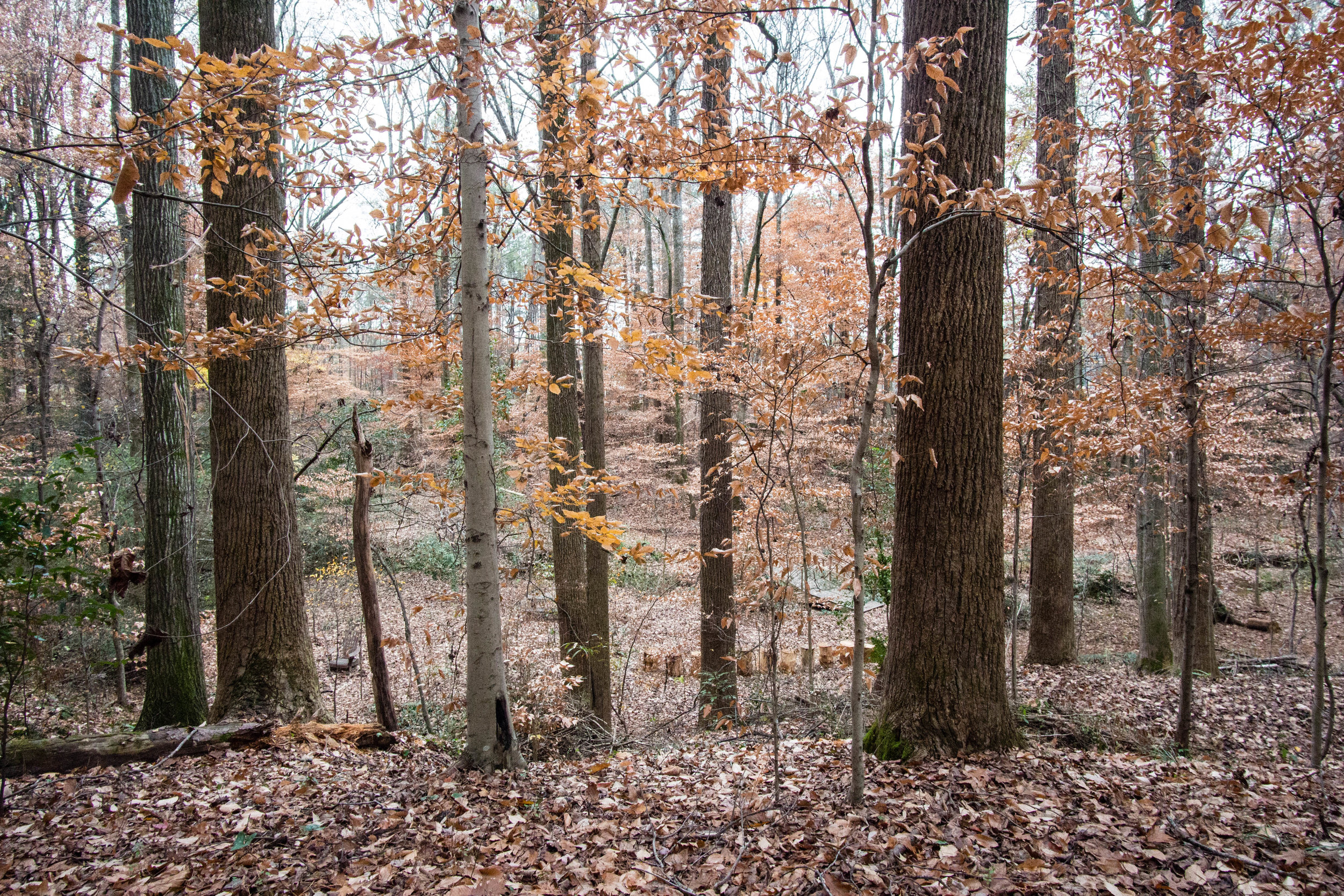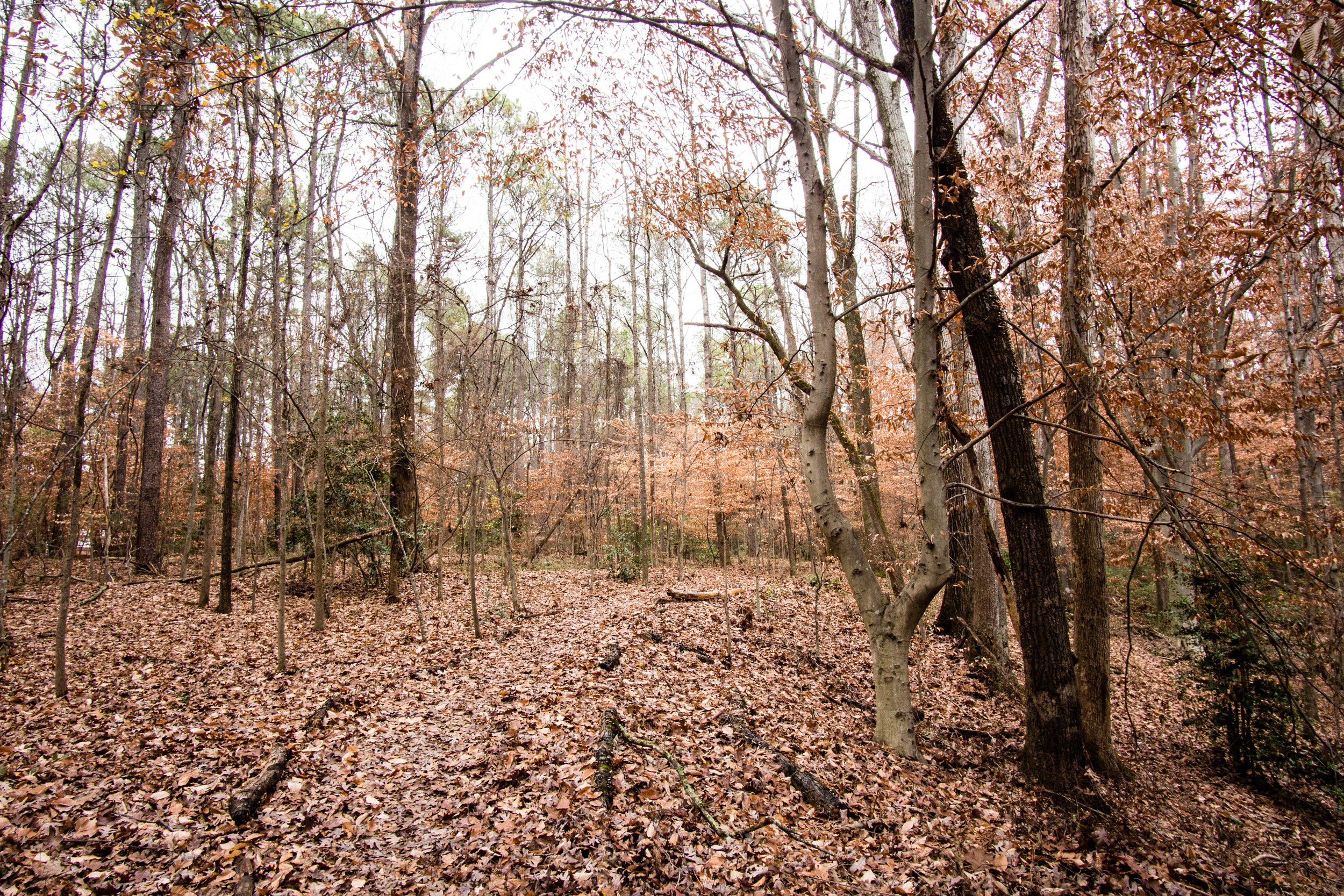
Intrenchment Creek Park
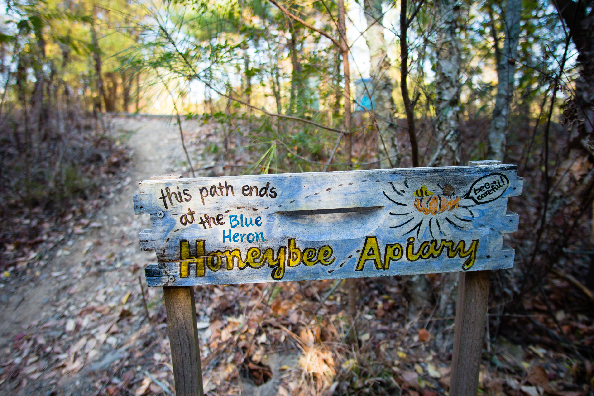
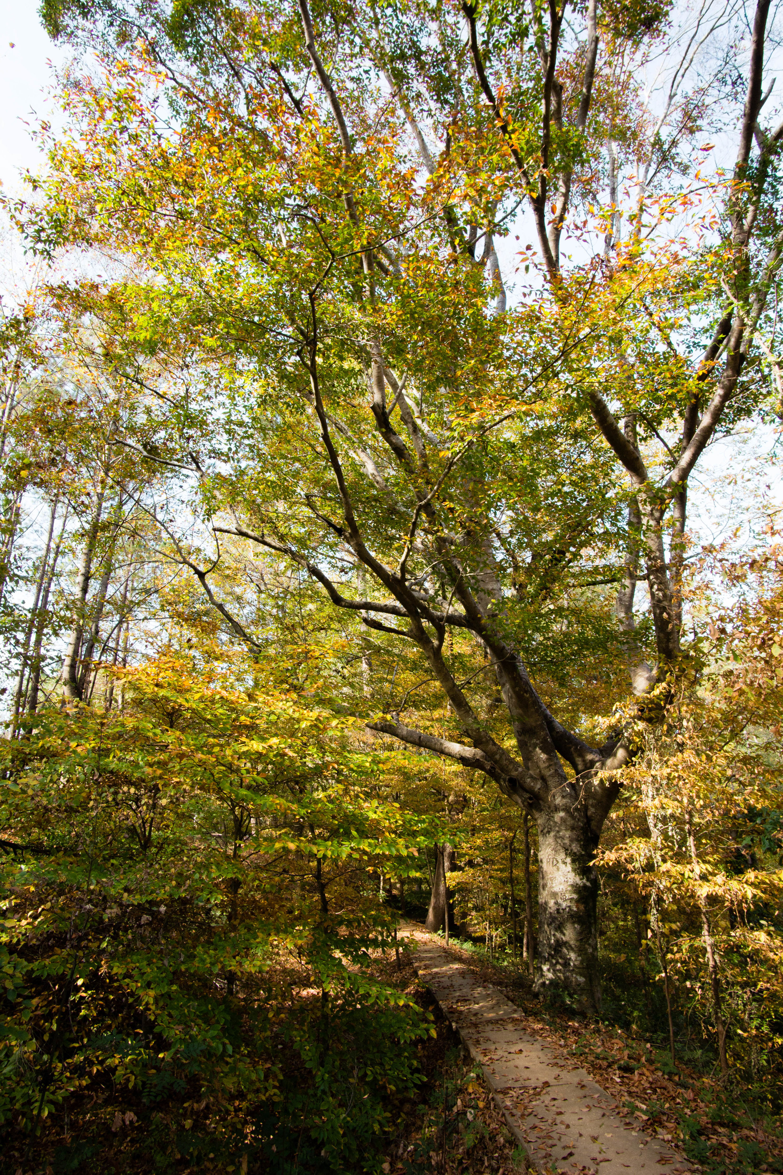
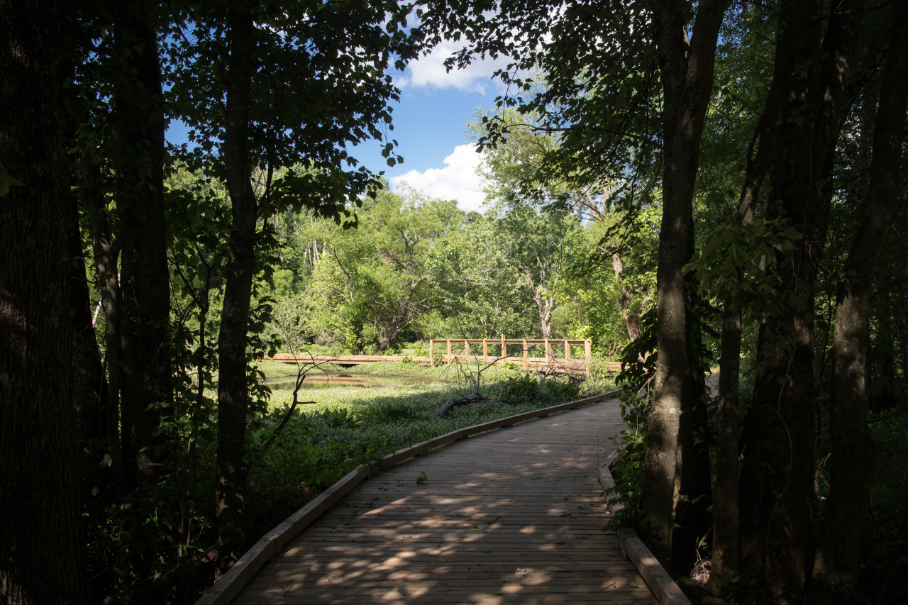
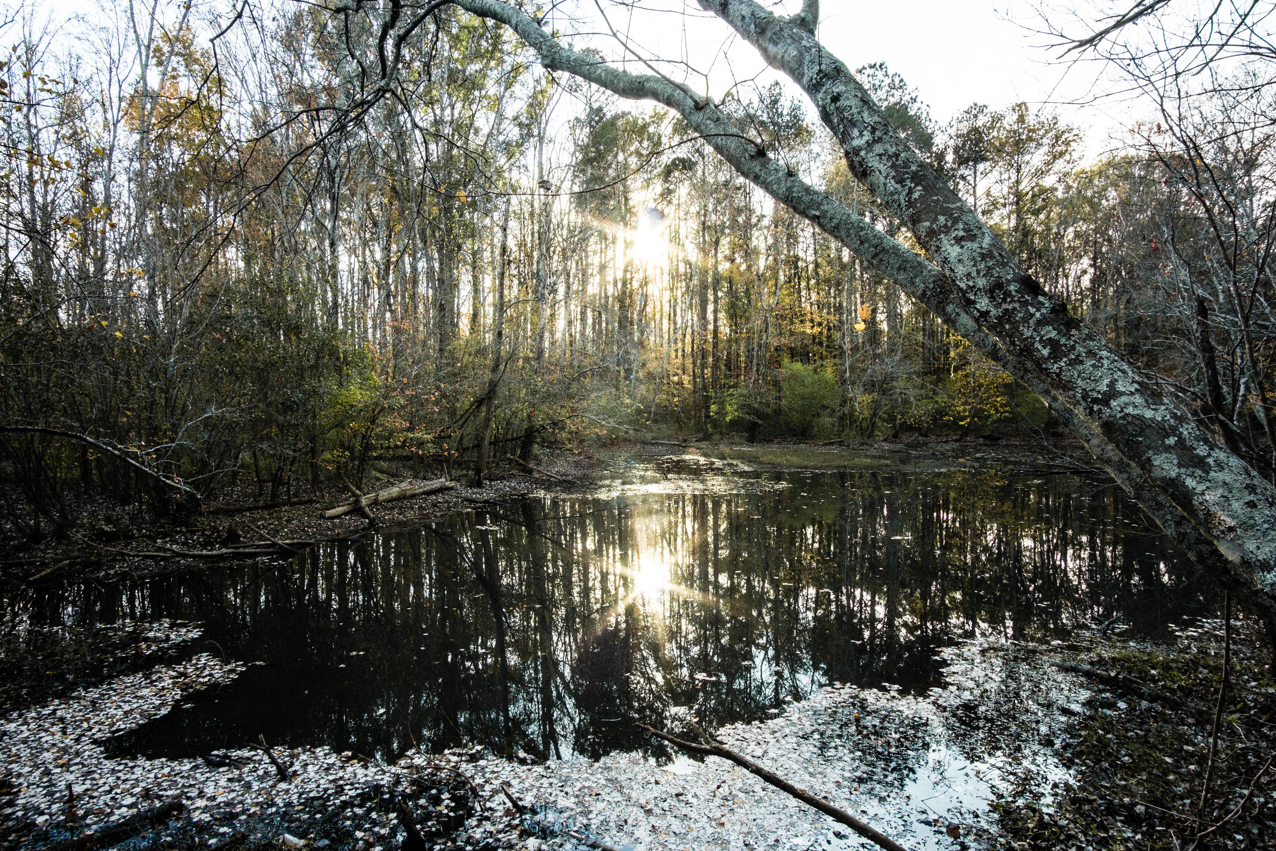
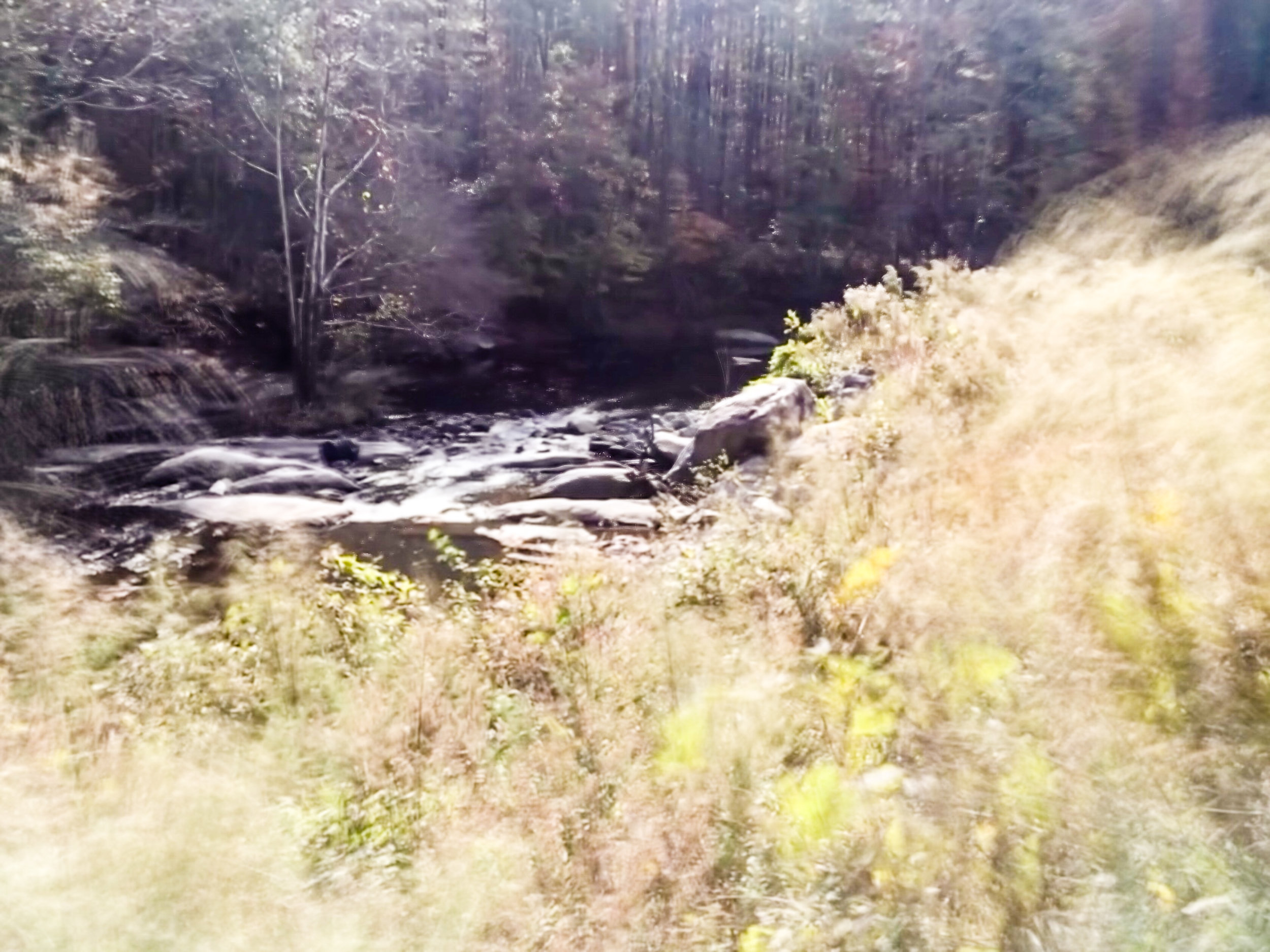
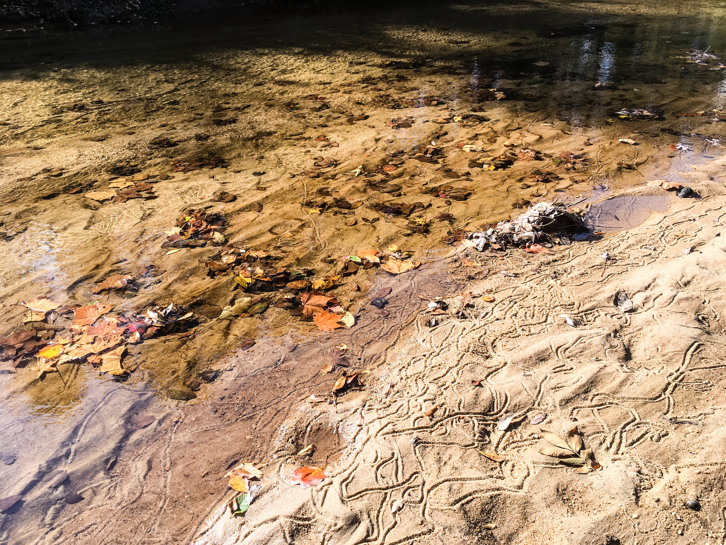
Intrenchment Creek Park is the western end of the South River PATH trail. It is also home to an RC Airfield.
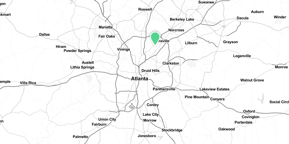
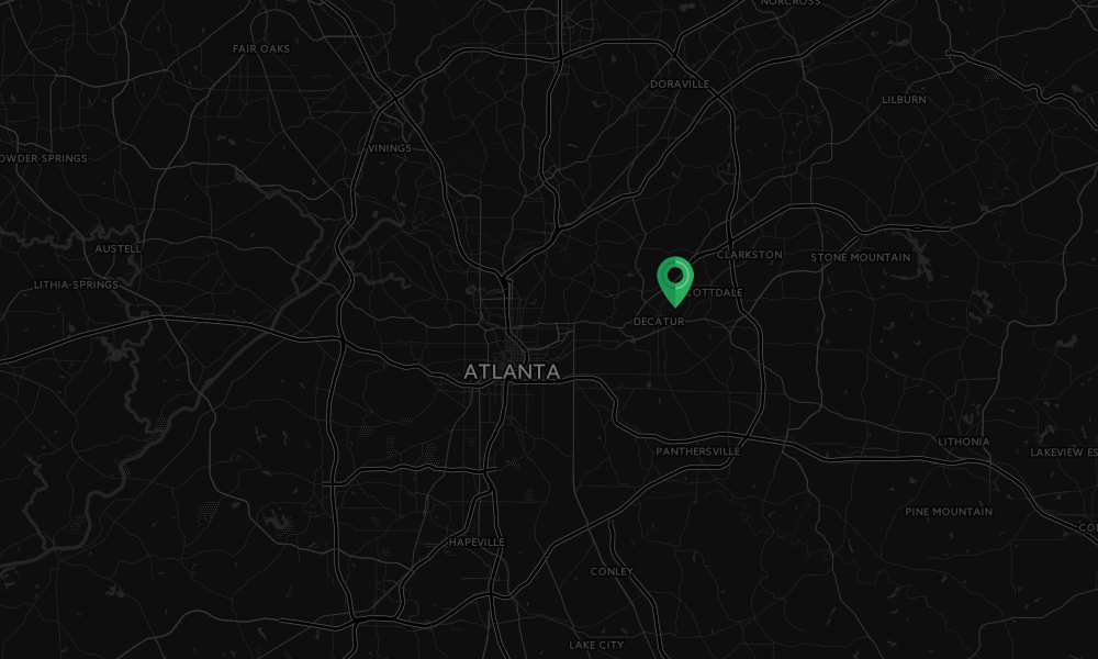
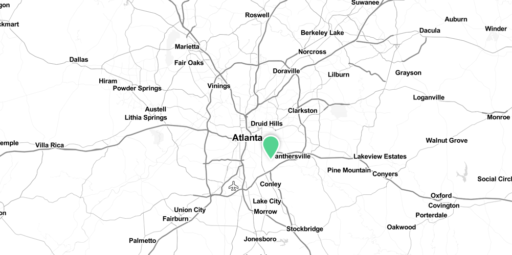
Address: West Side Pl, Atlanta, GA 30316
Cost of admission: None
Governance: DeKalb County
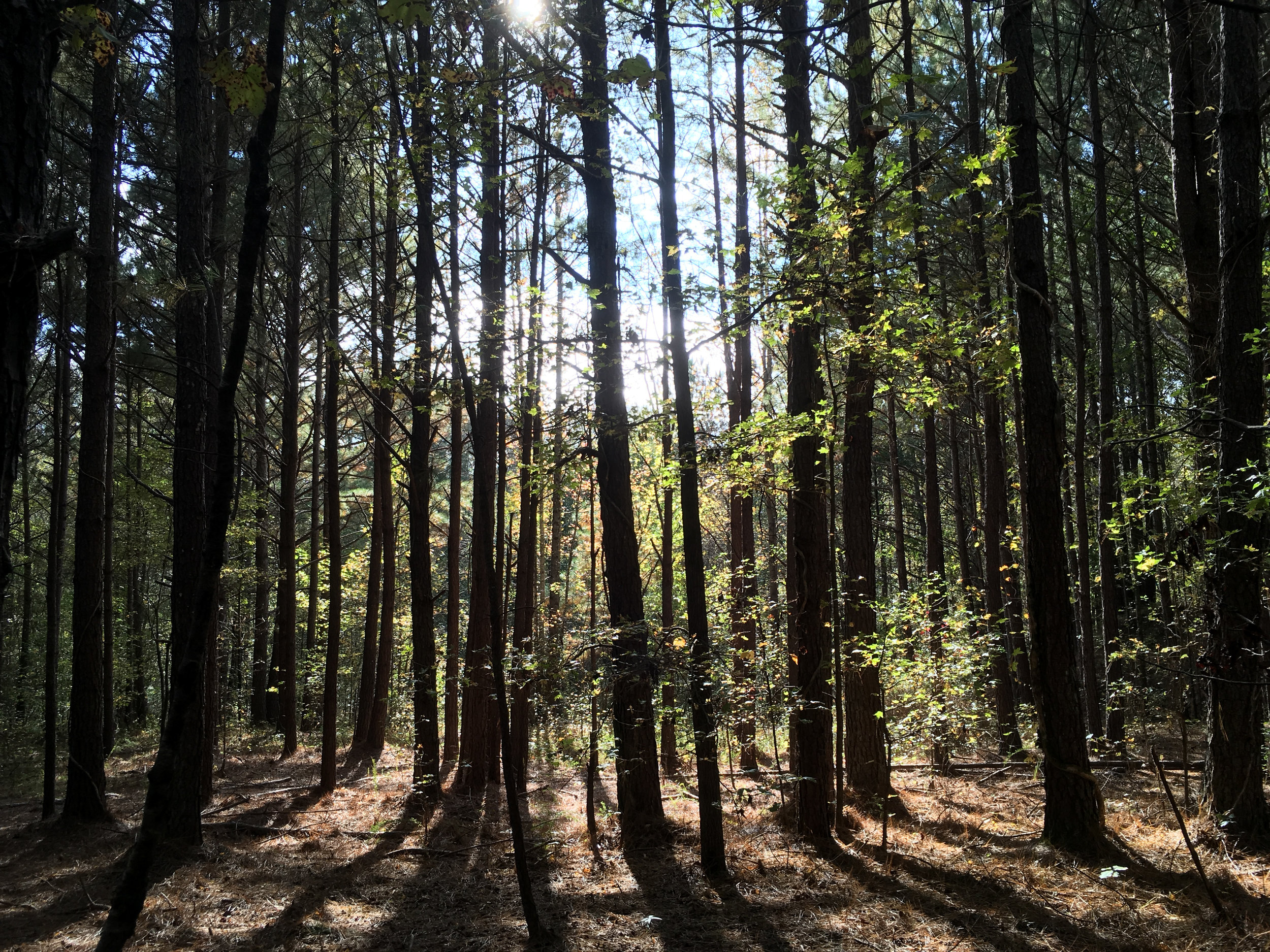
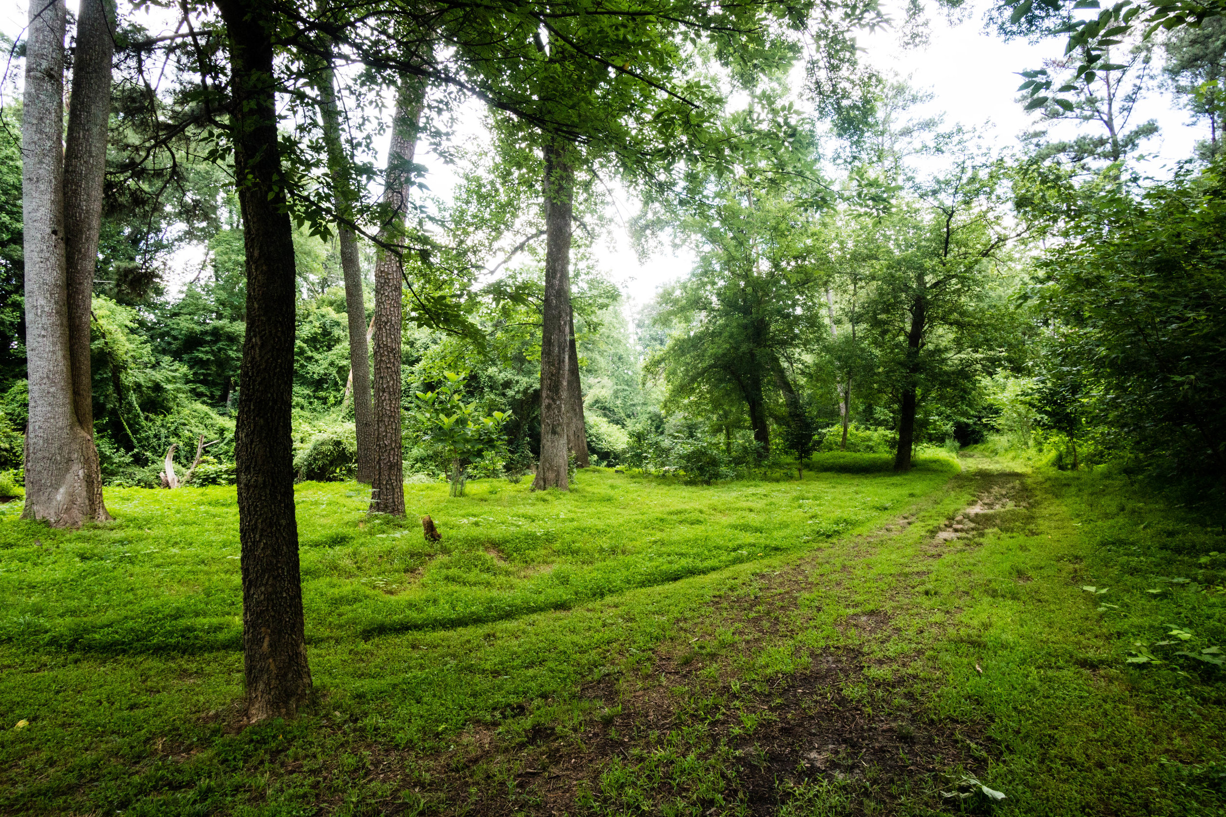
Acres: 125
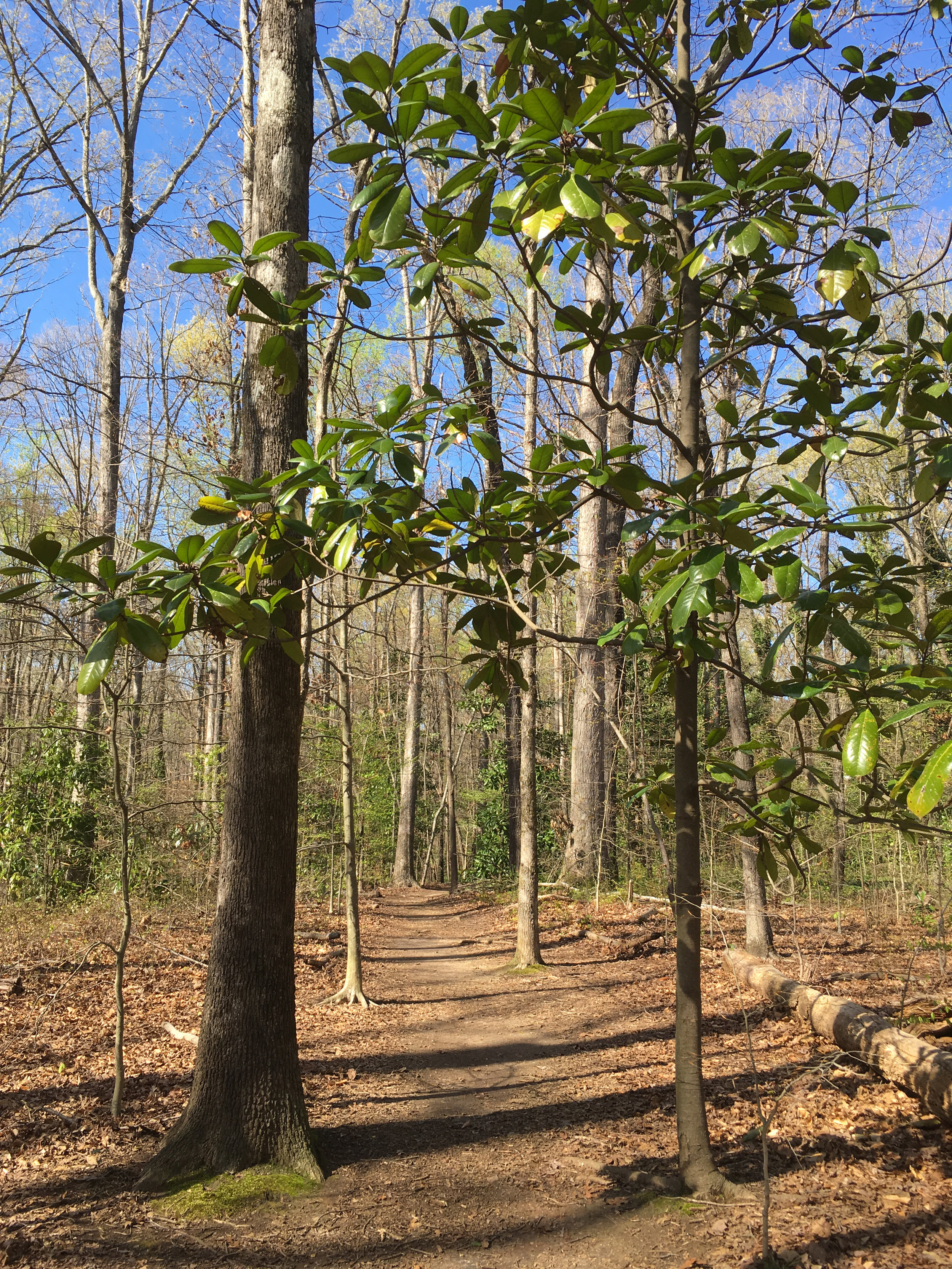
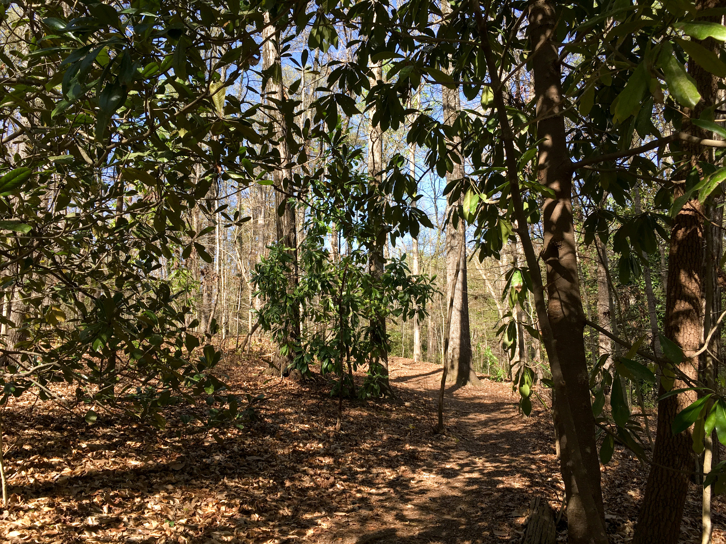
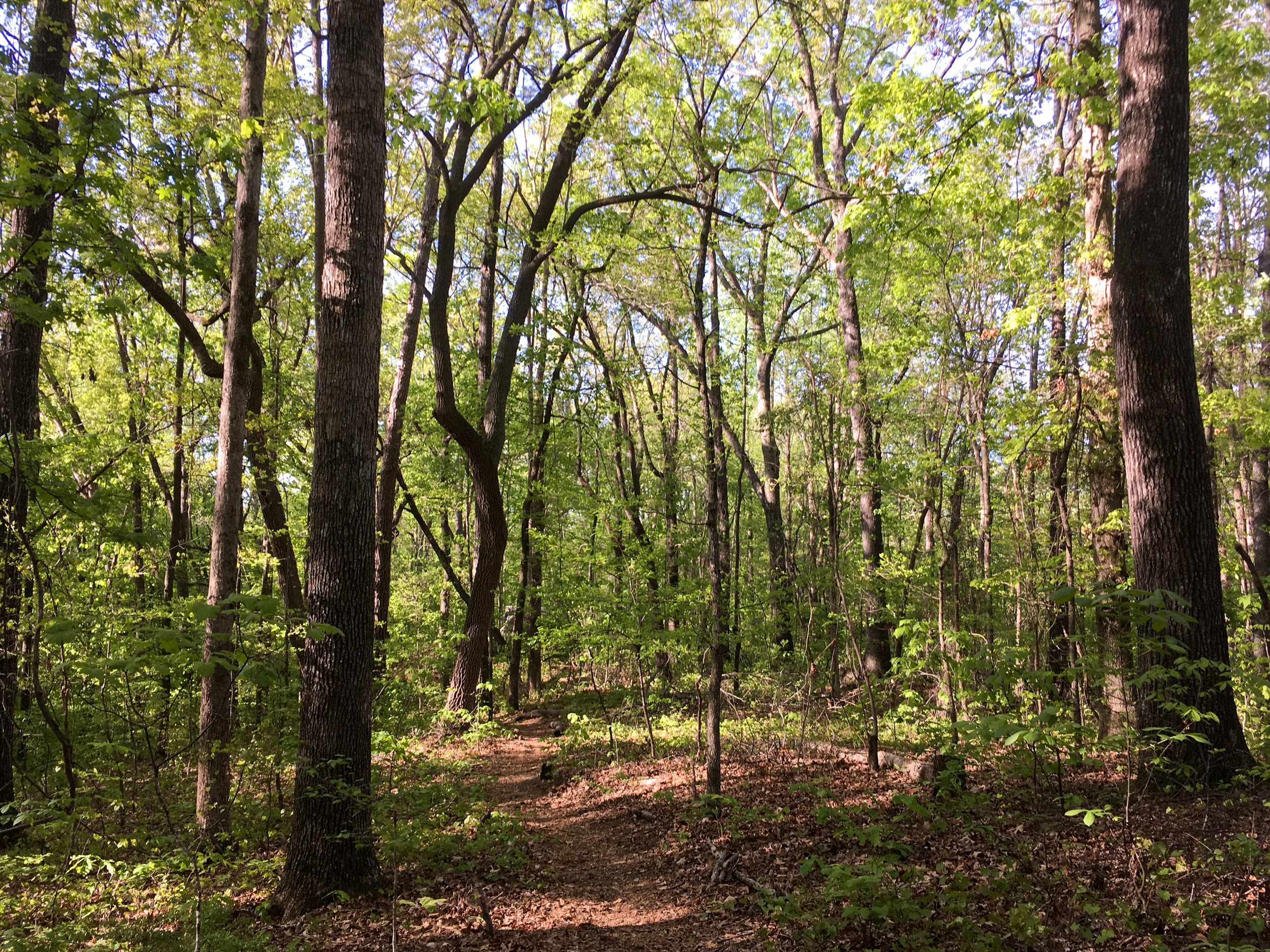
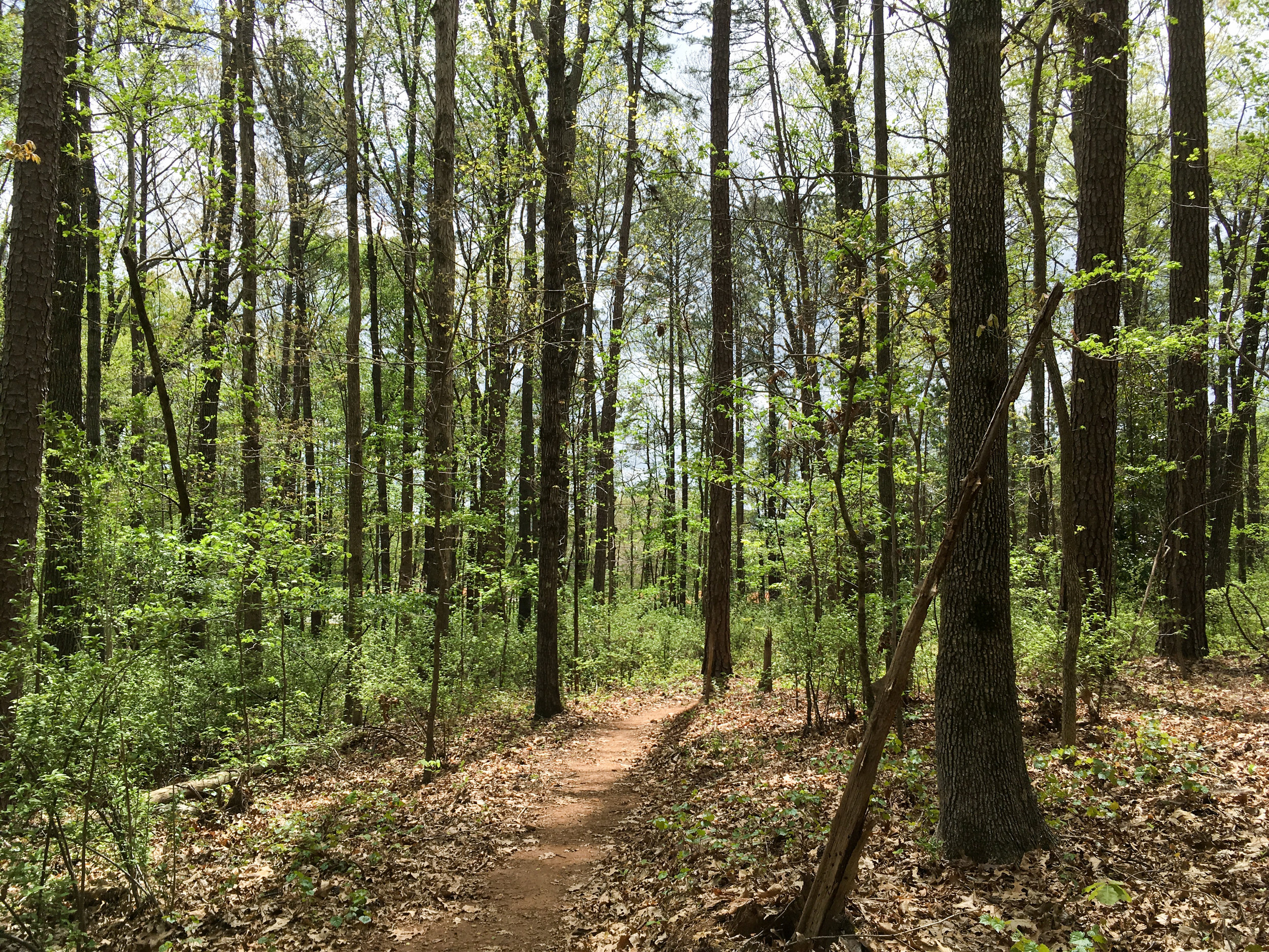
Approximate miles of trails: 2
Hours: Dawn to dusk
Miles from downtown Atlanta: 6
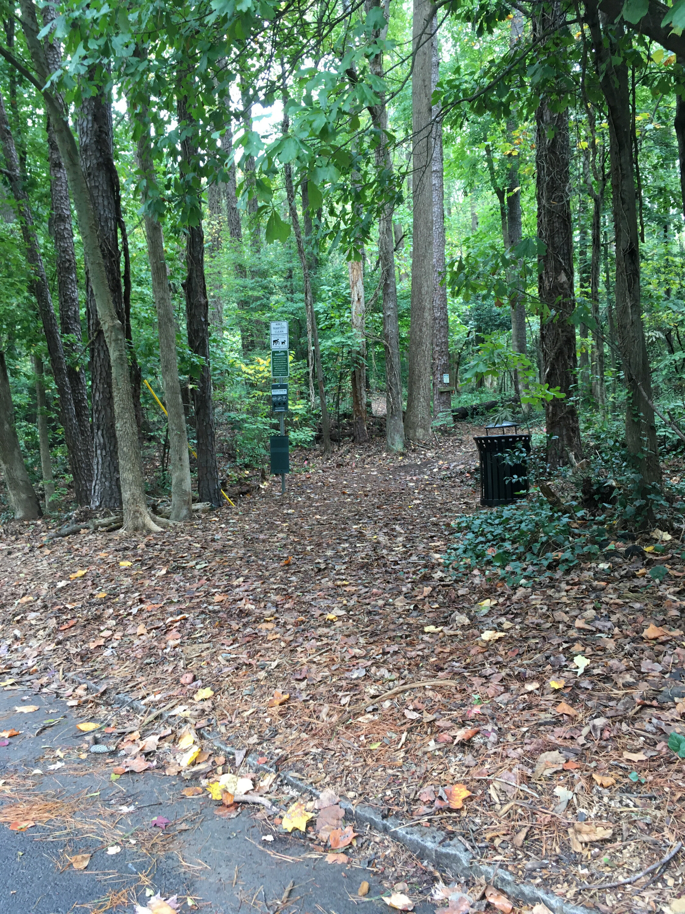
MARTA directions: From Inman Park-Reynoldstown Station, take the 32 to Bouldercrest Rd SE@Westside Pl. From there, walk northwest along Bouldercrest. Turn left on West Side Place. The entrance to the trail is clearly marked on the right. Walking distance from bus stop to trailhead approximately 0.2 miles.
Parking: Parking is available at the trailhead on West Side Place. Two handicap accessible spaces are available.
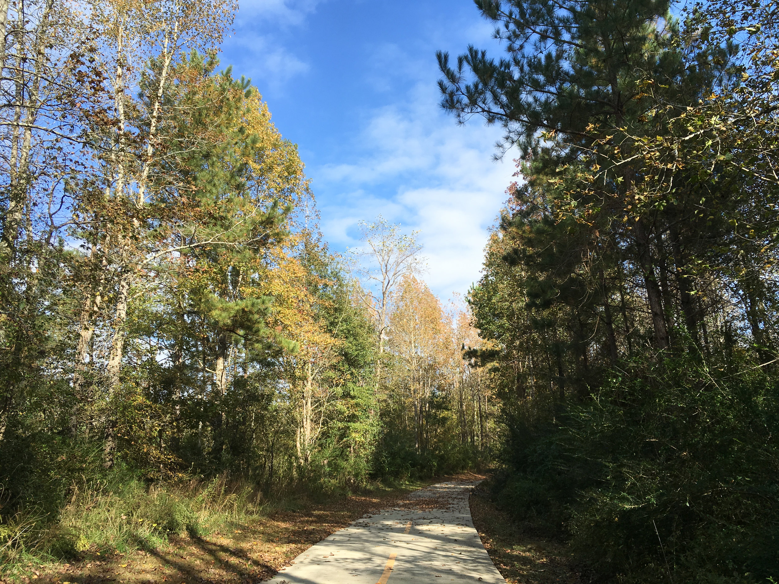
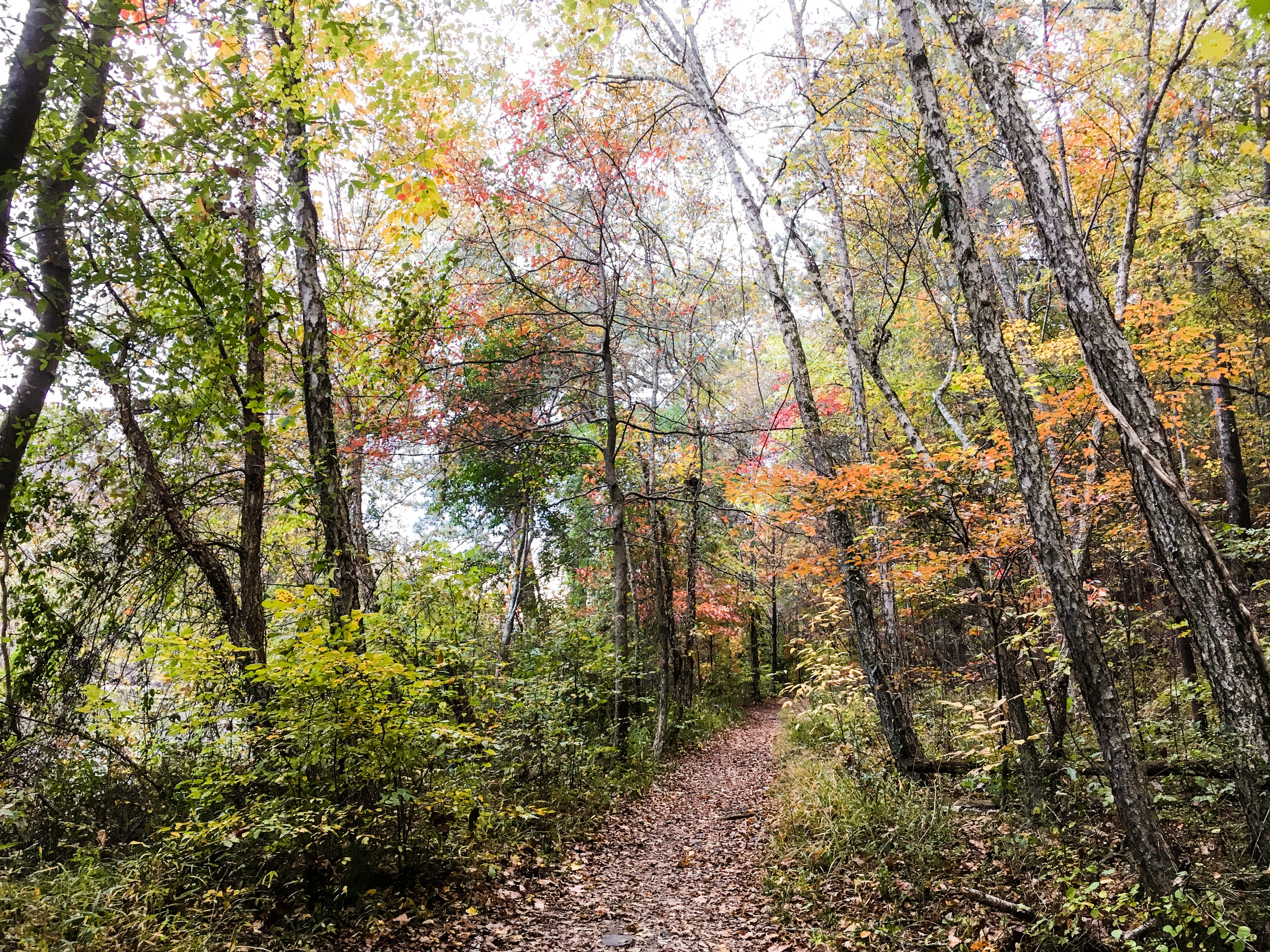
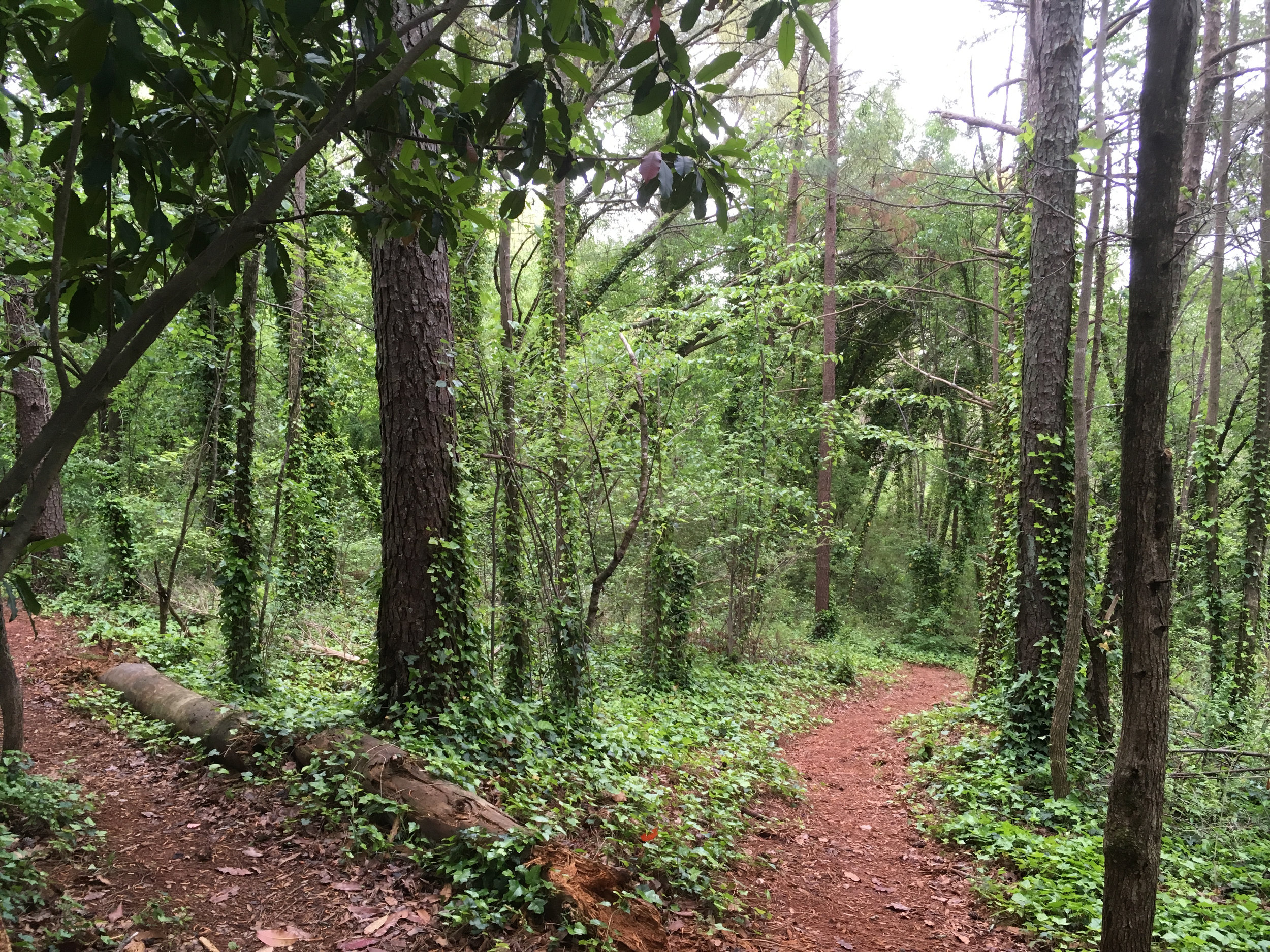
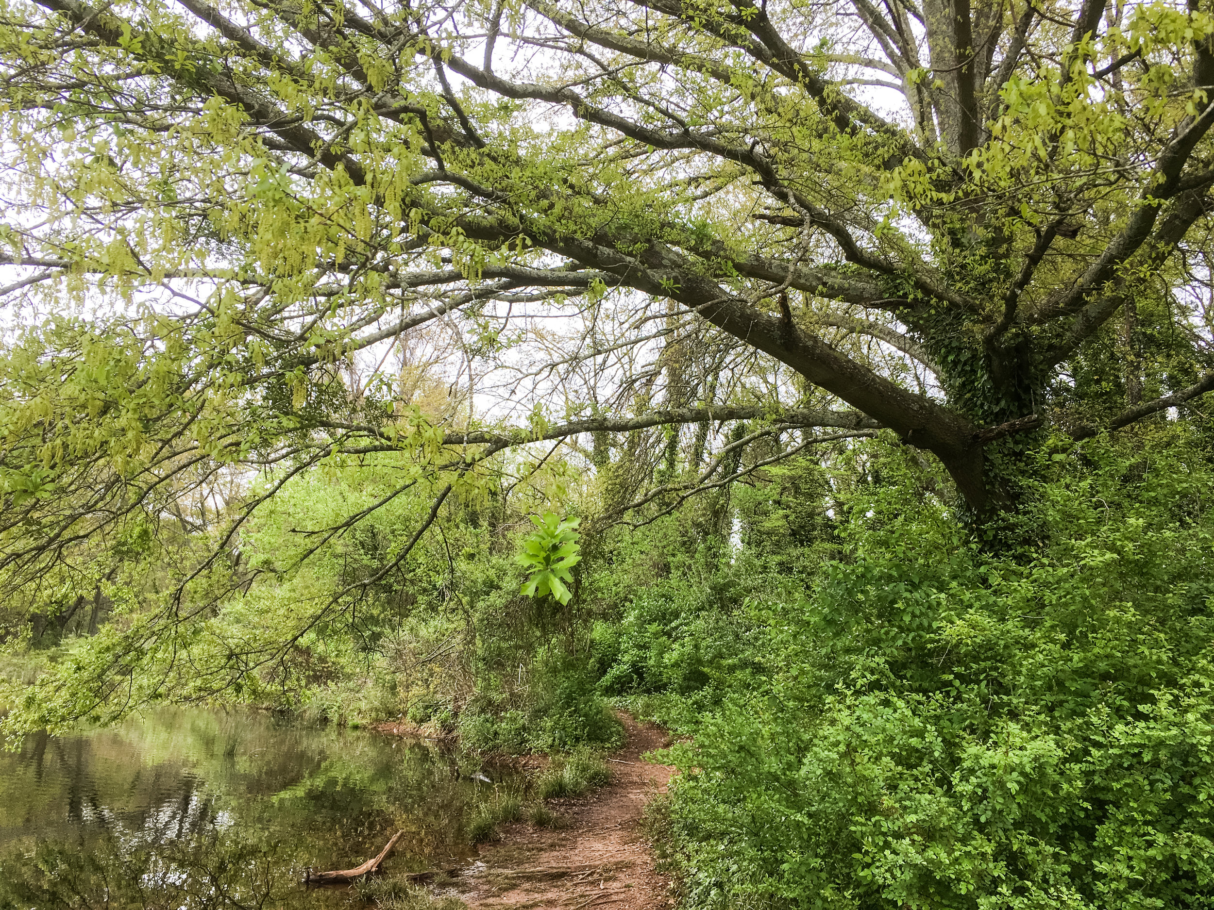
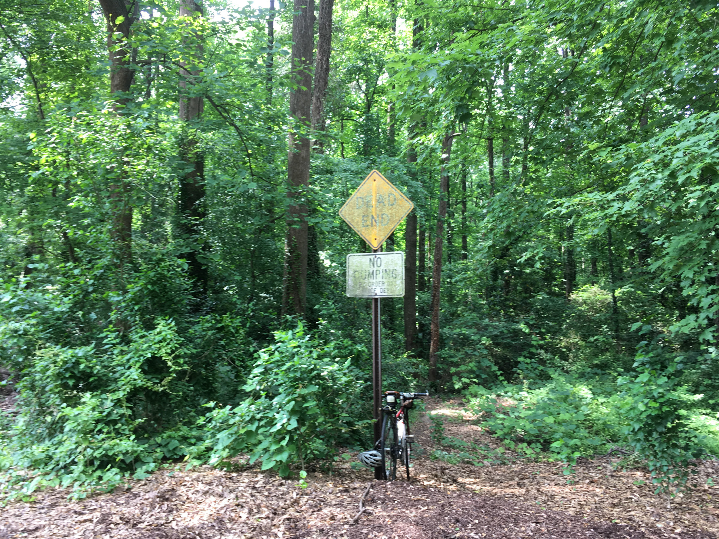
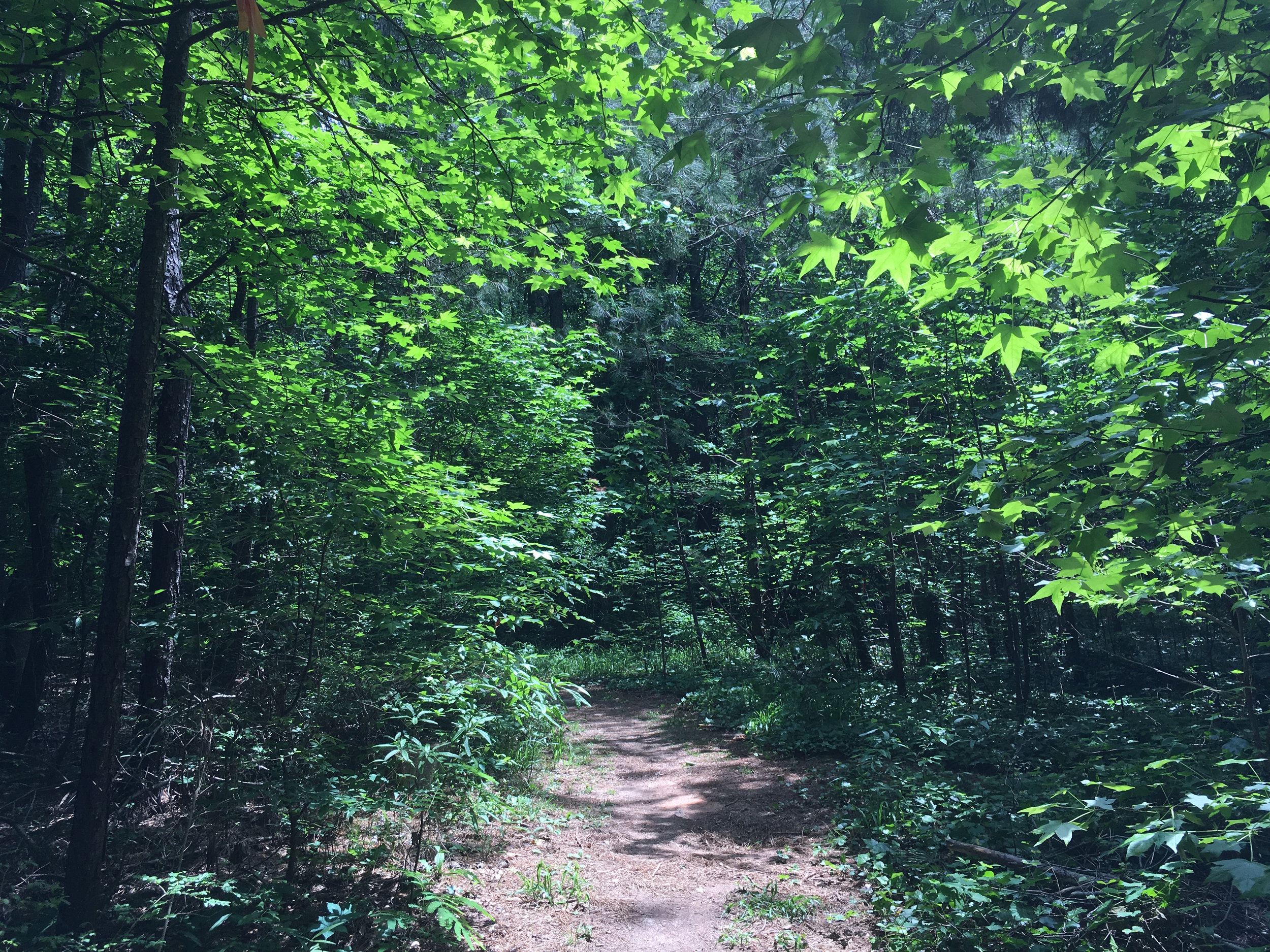
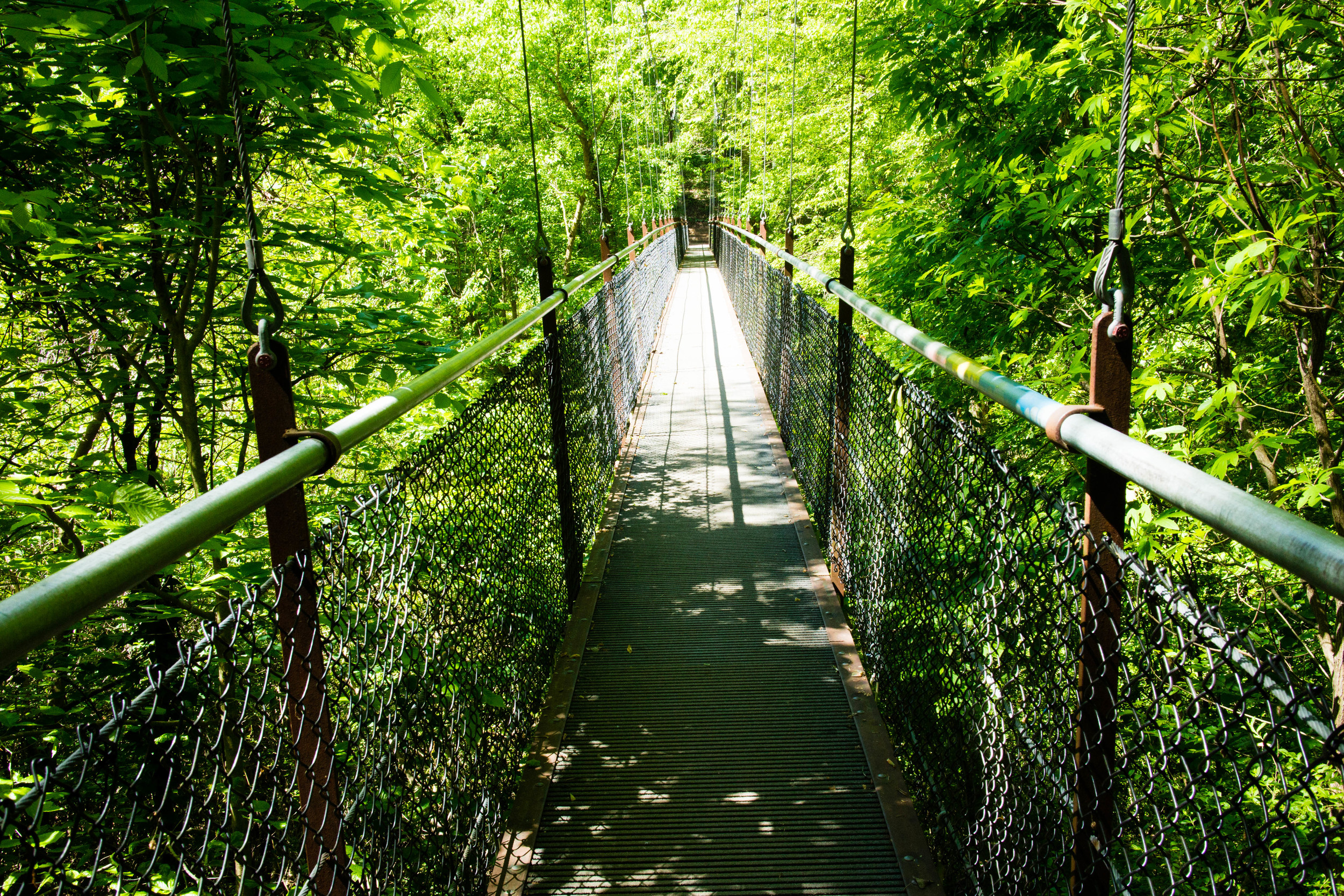
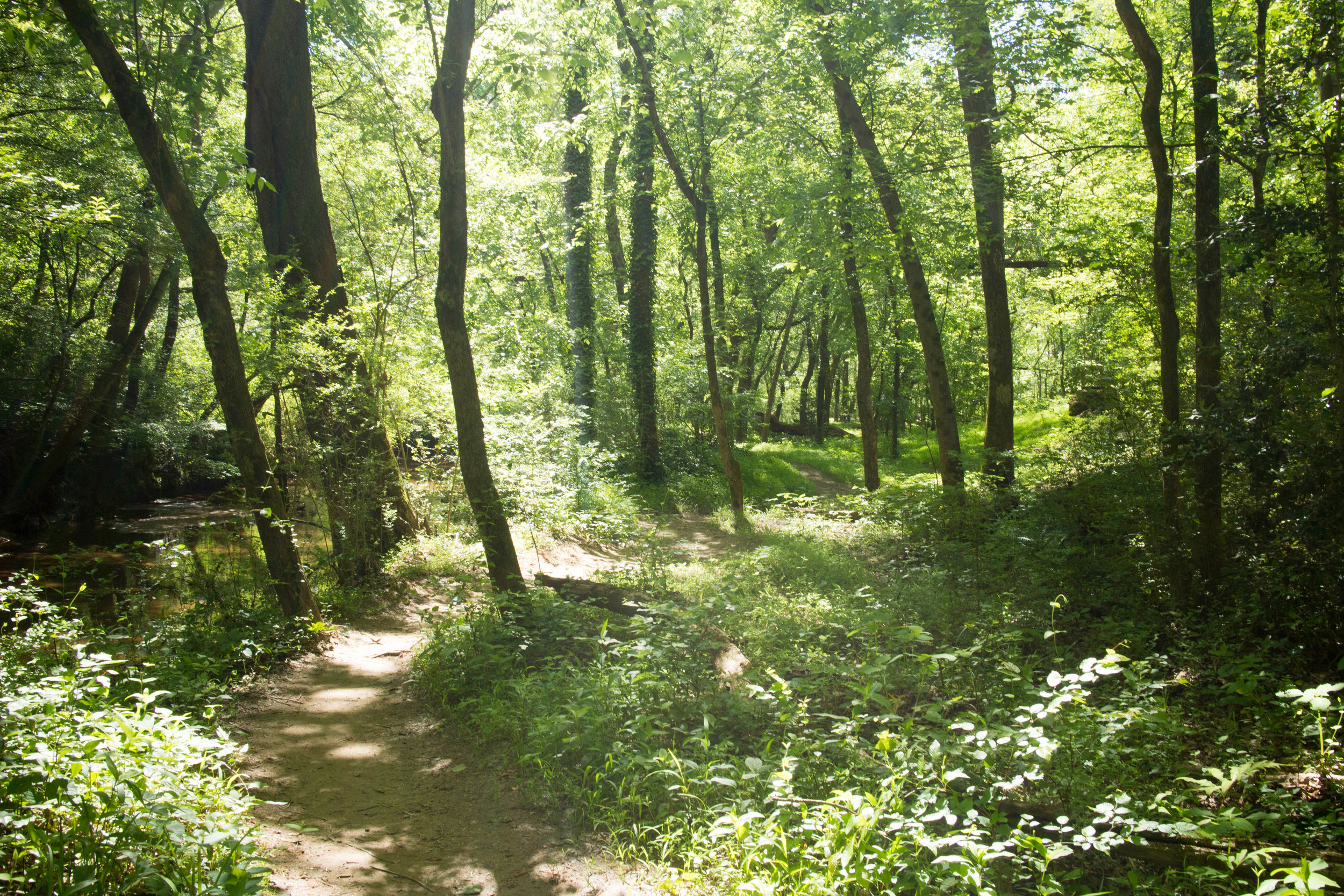
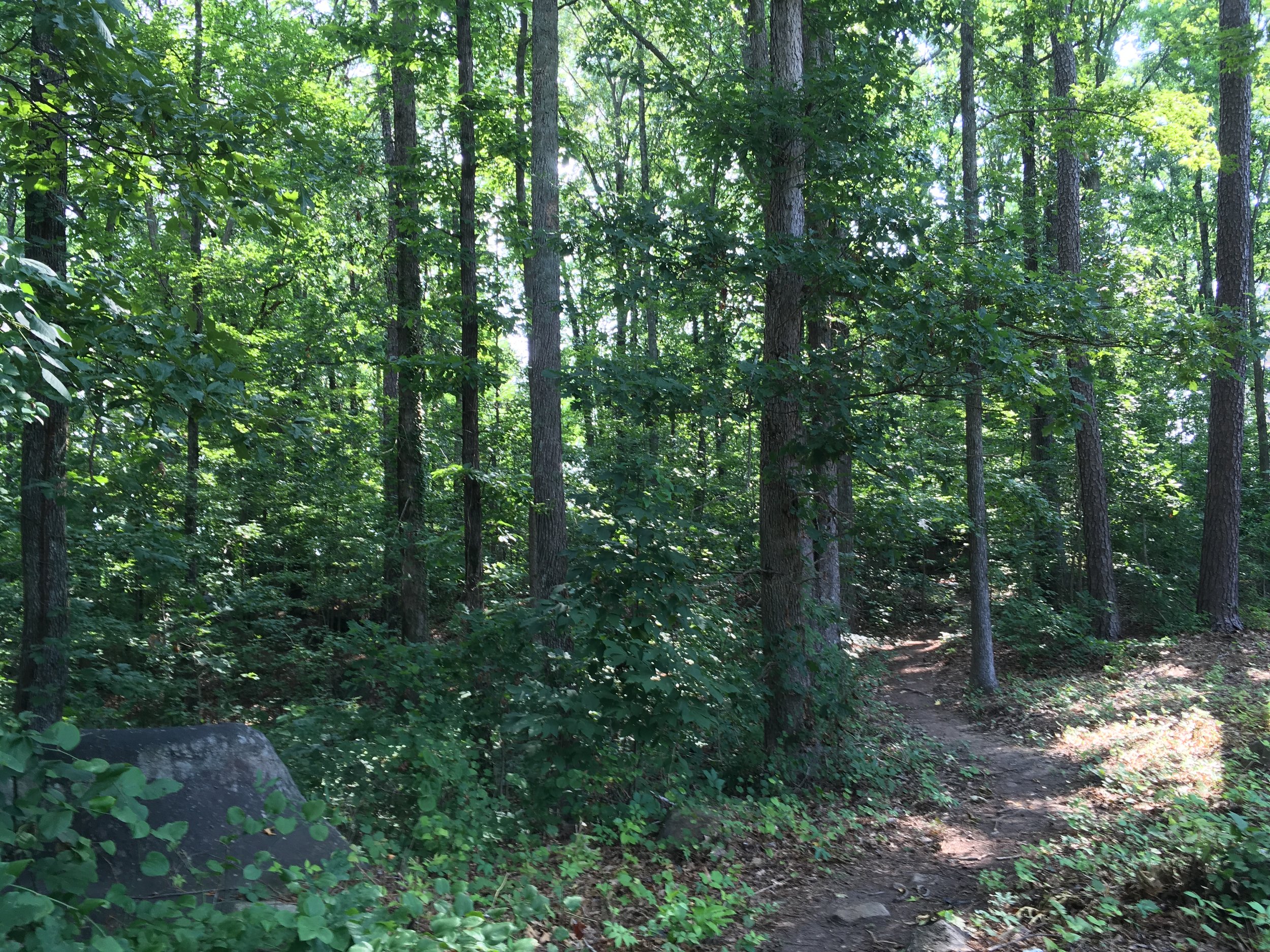
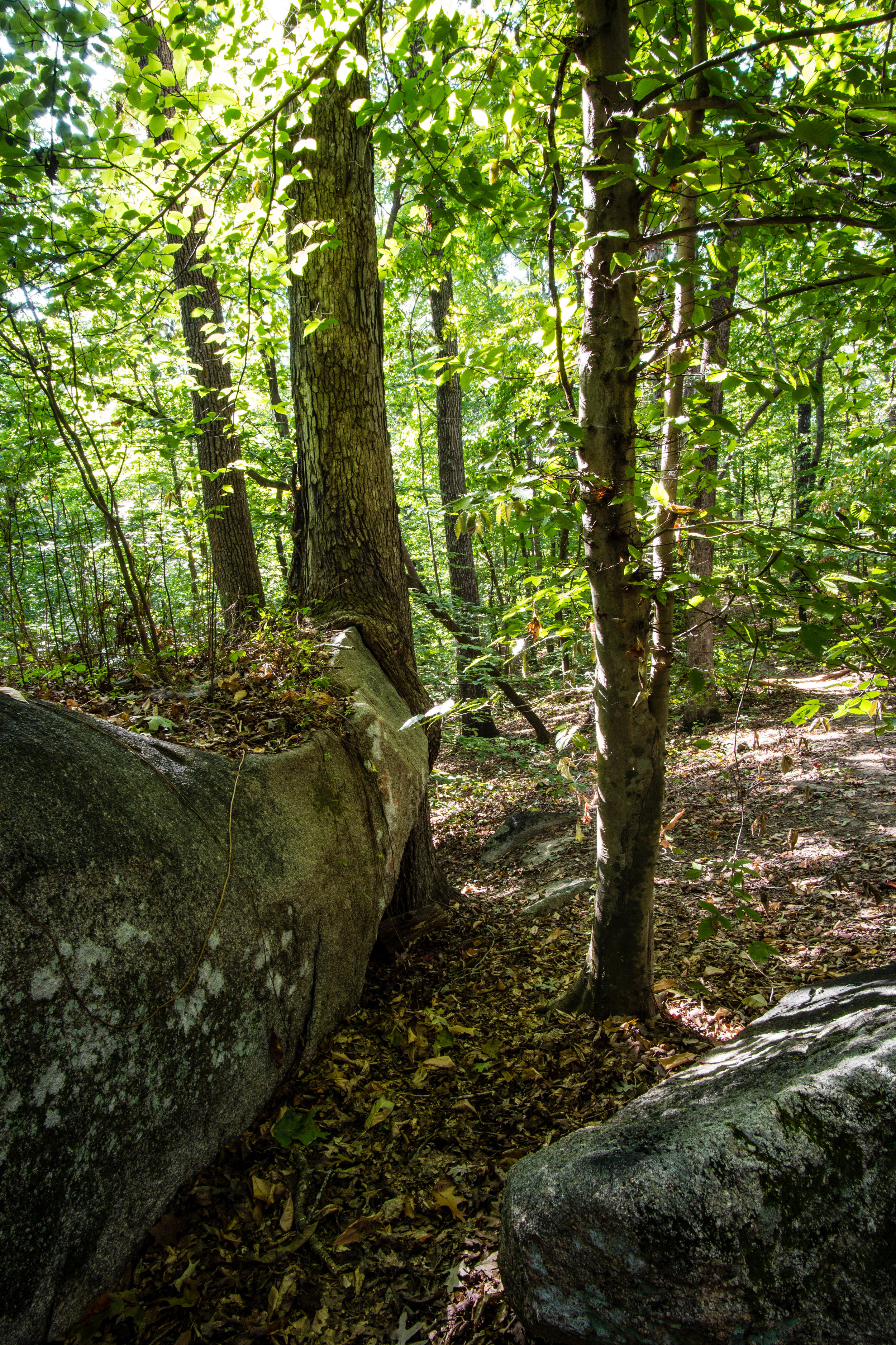
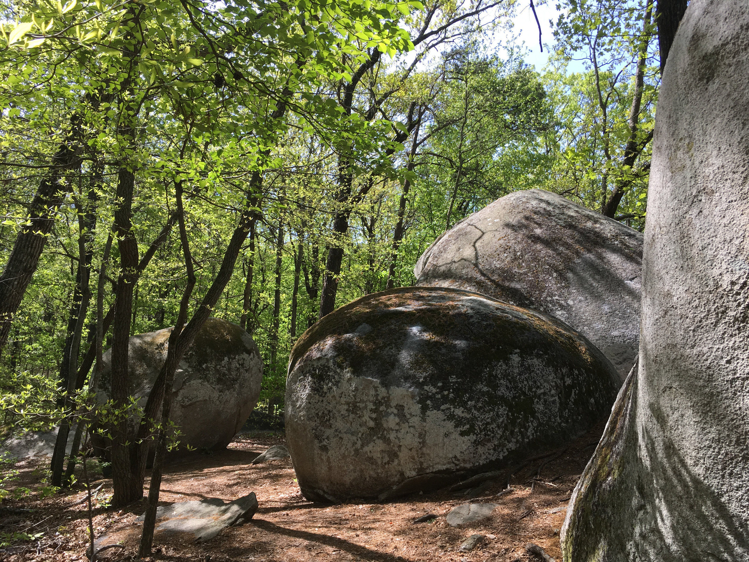
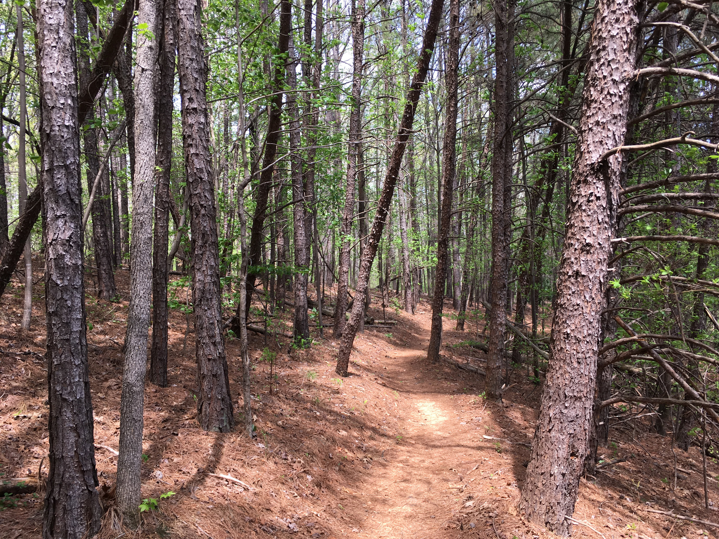
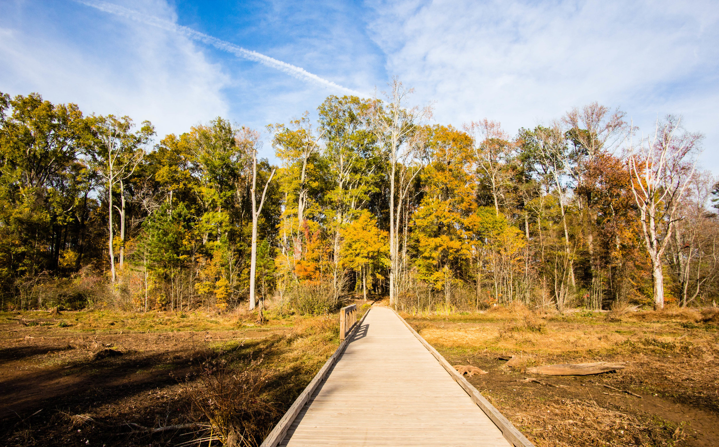
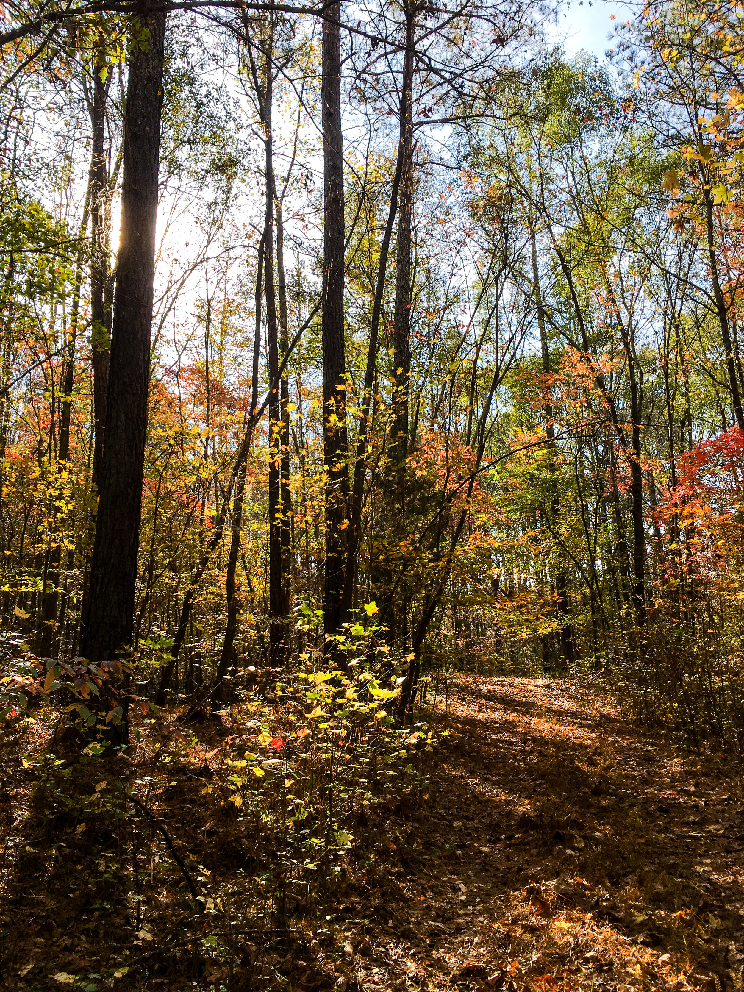
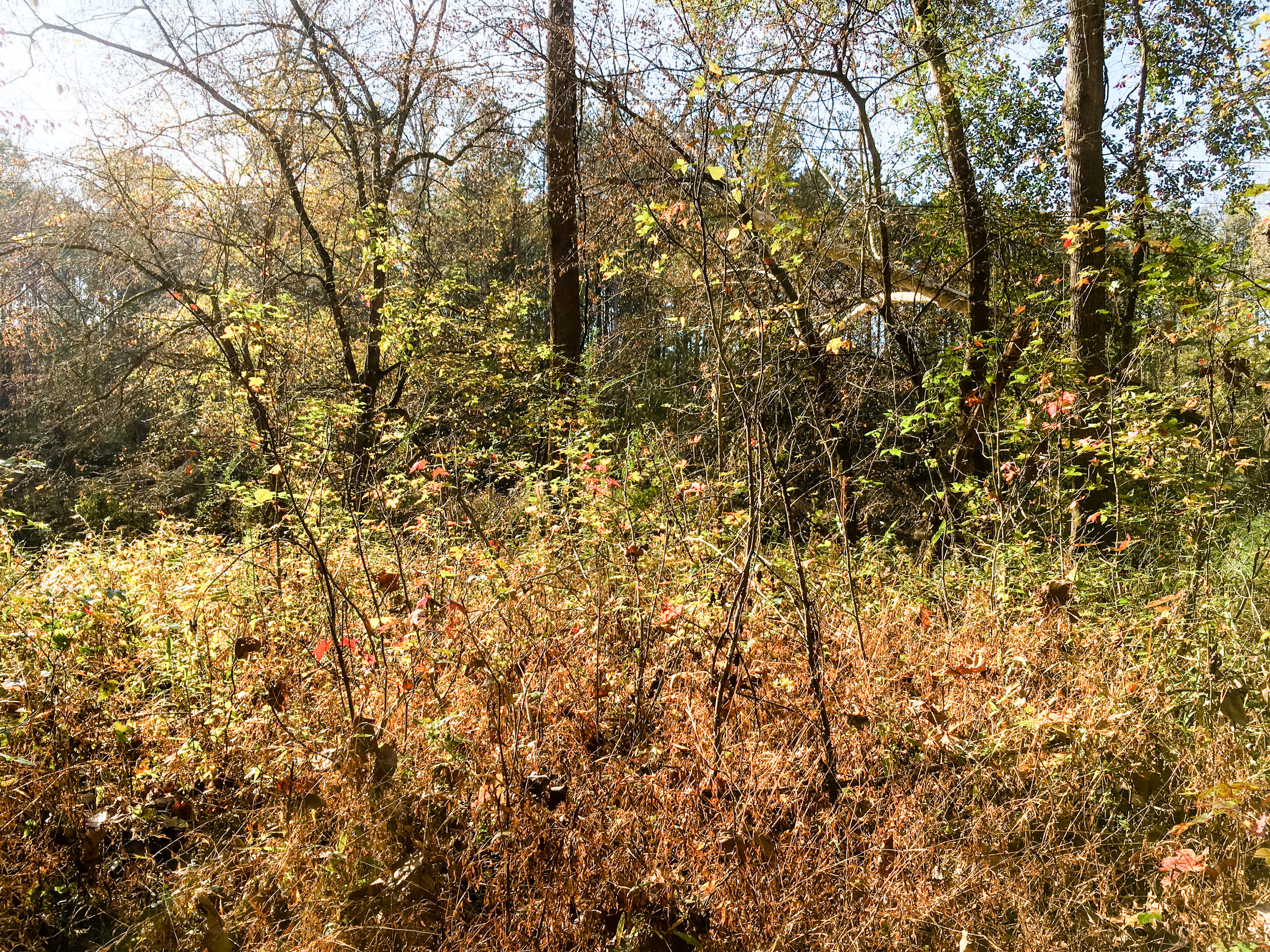
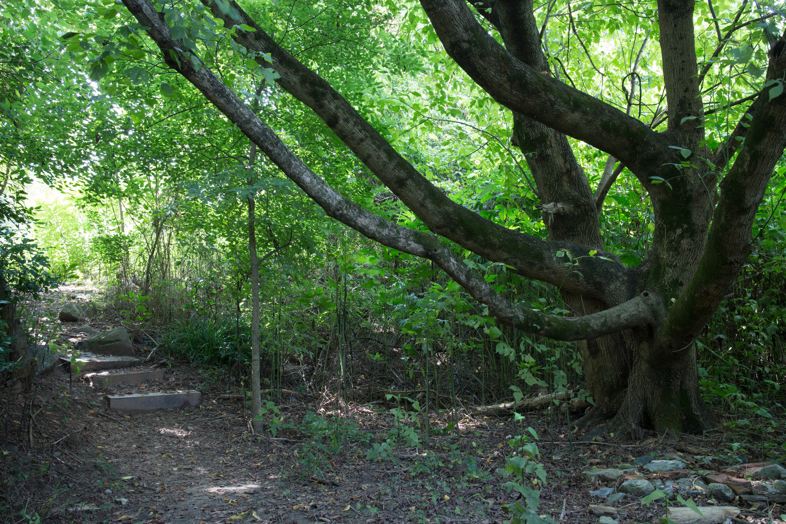
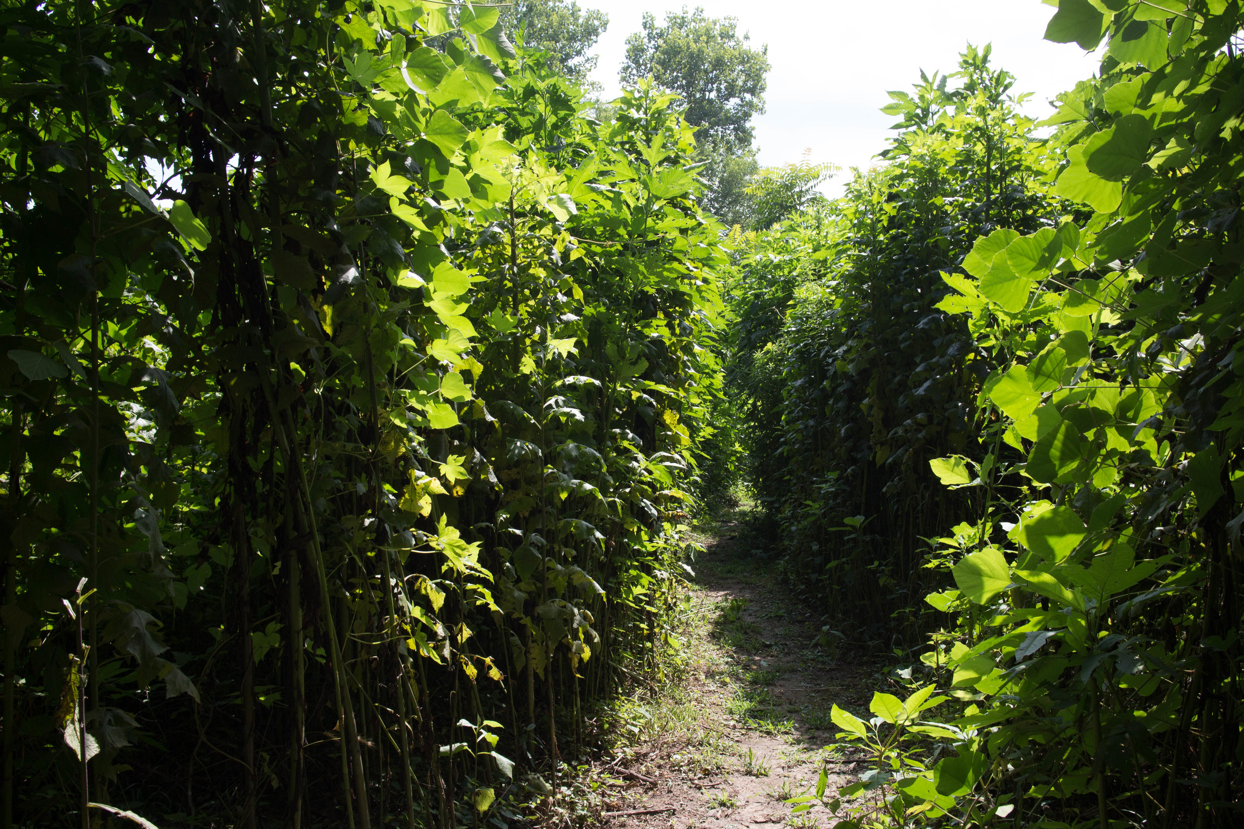
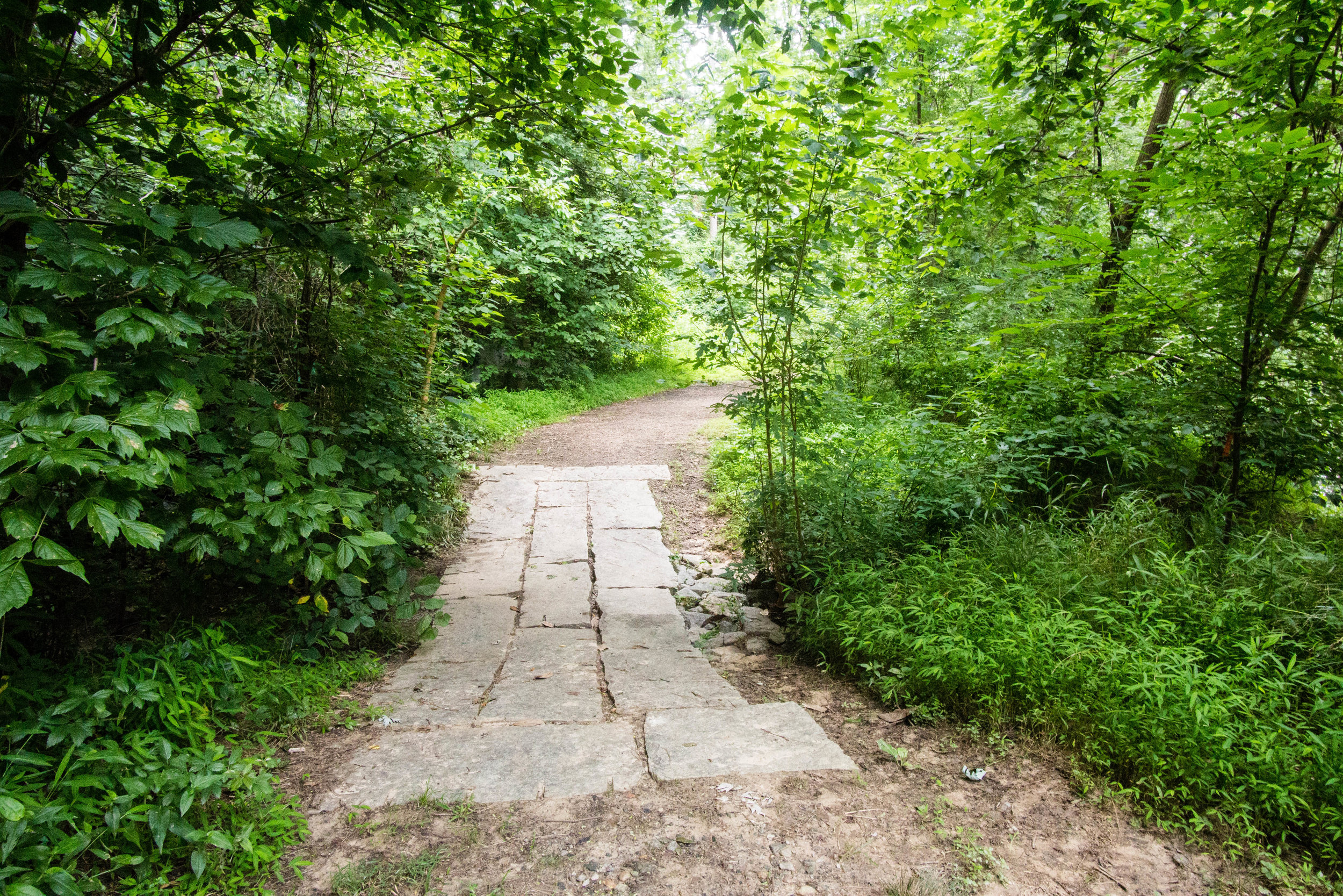
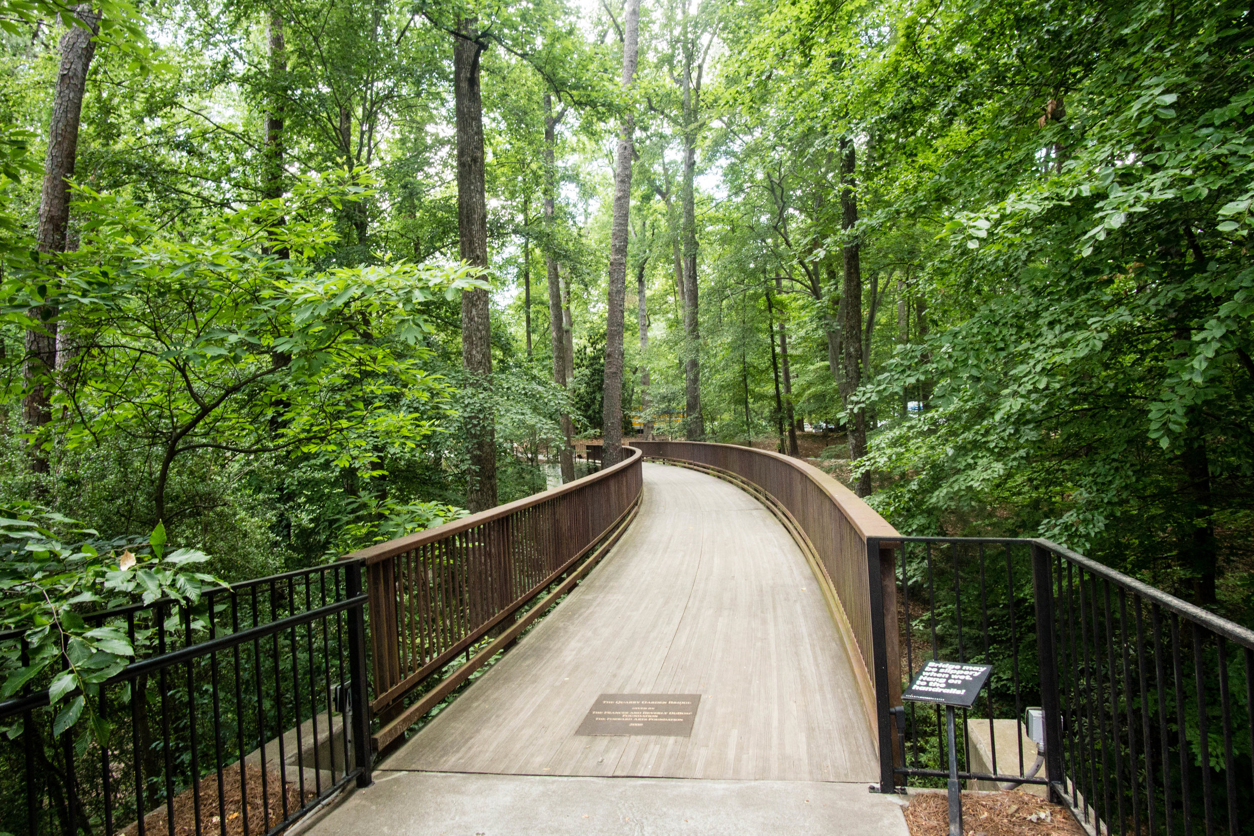
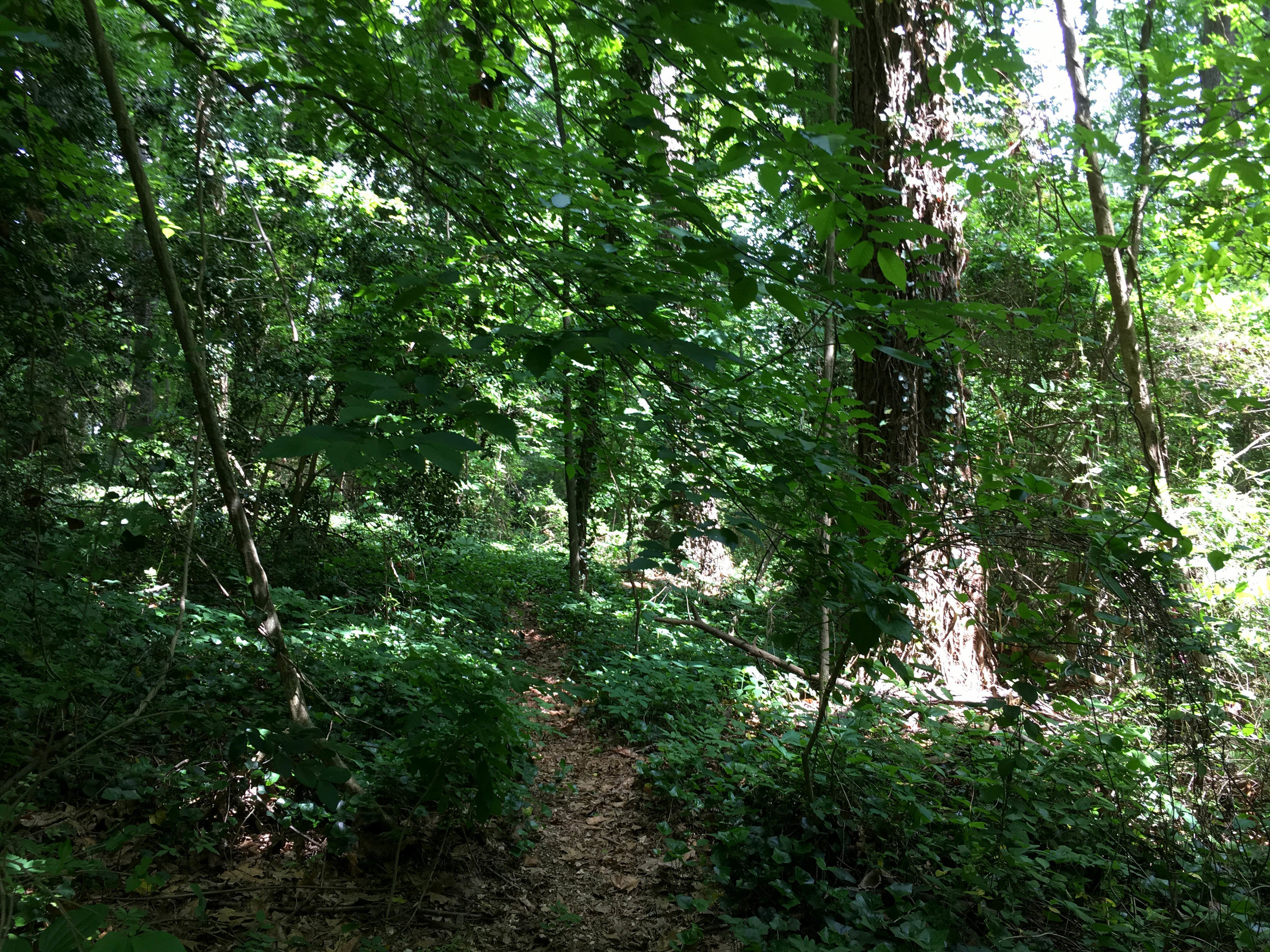
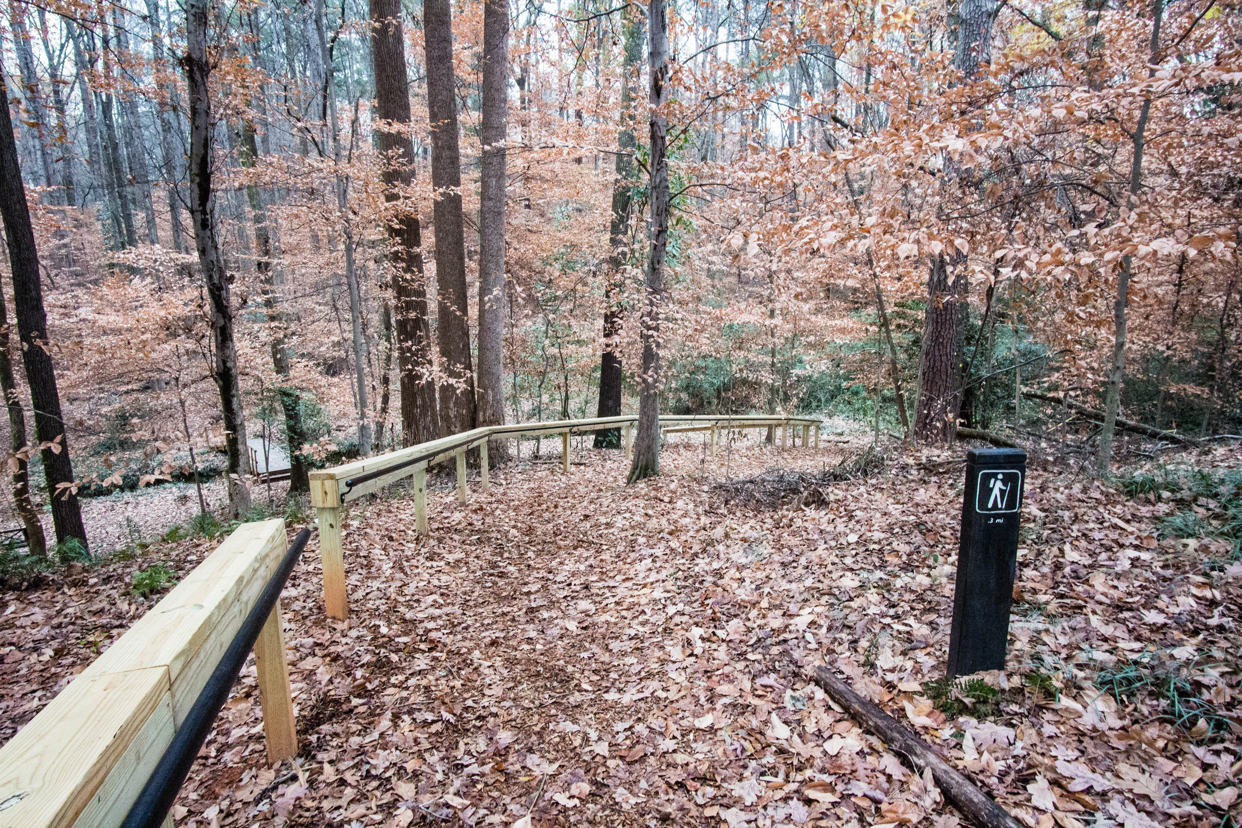
Trail surface: Approximately 0.5 miles of PATH trail (continues beyond the park for about 5 miles) and approximately 1.5 miles of unpaved trails
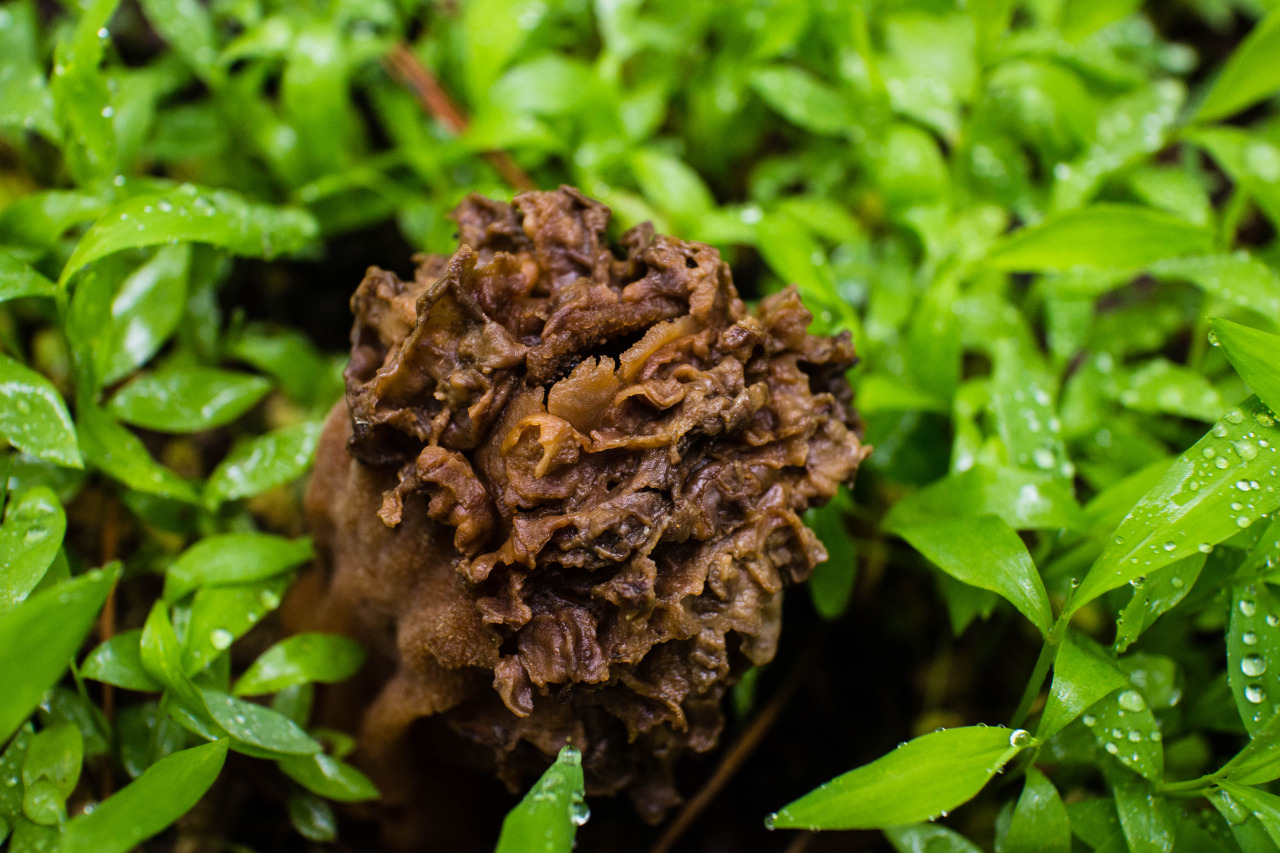
Geocaching: Yes
Dogs allowed: Yes
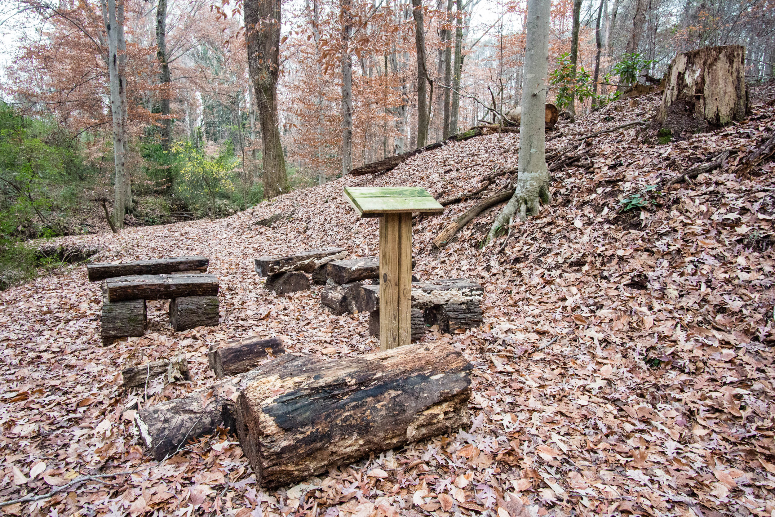
Amenities:
Picnic pavilion
Links:
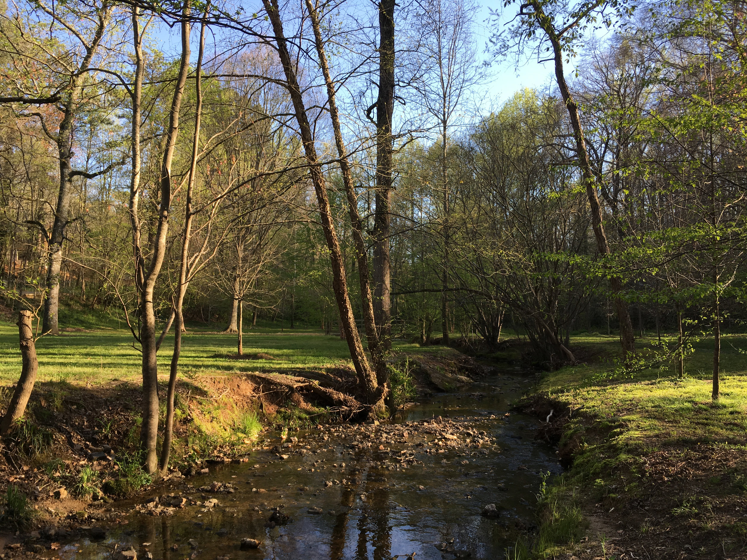
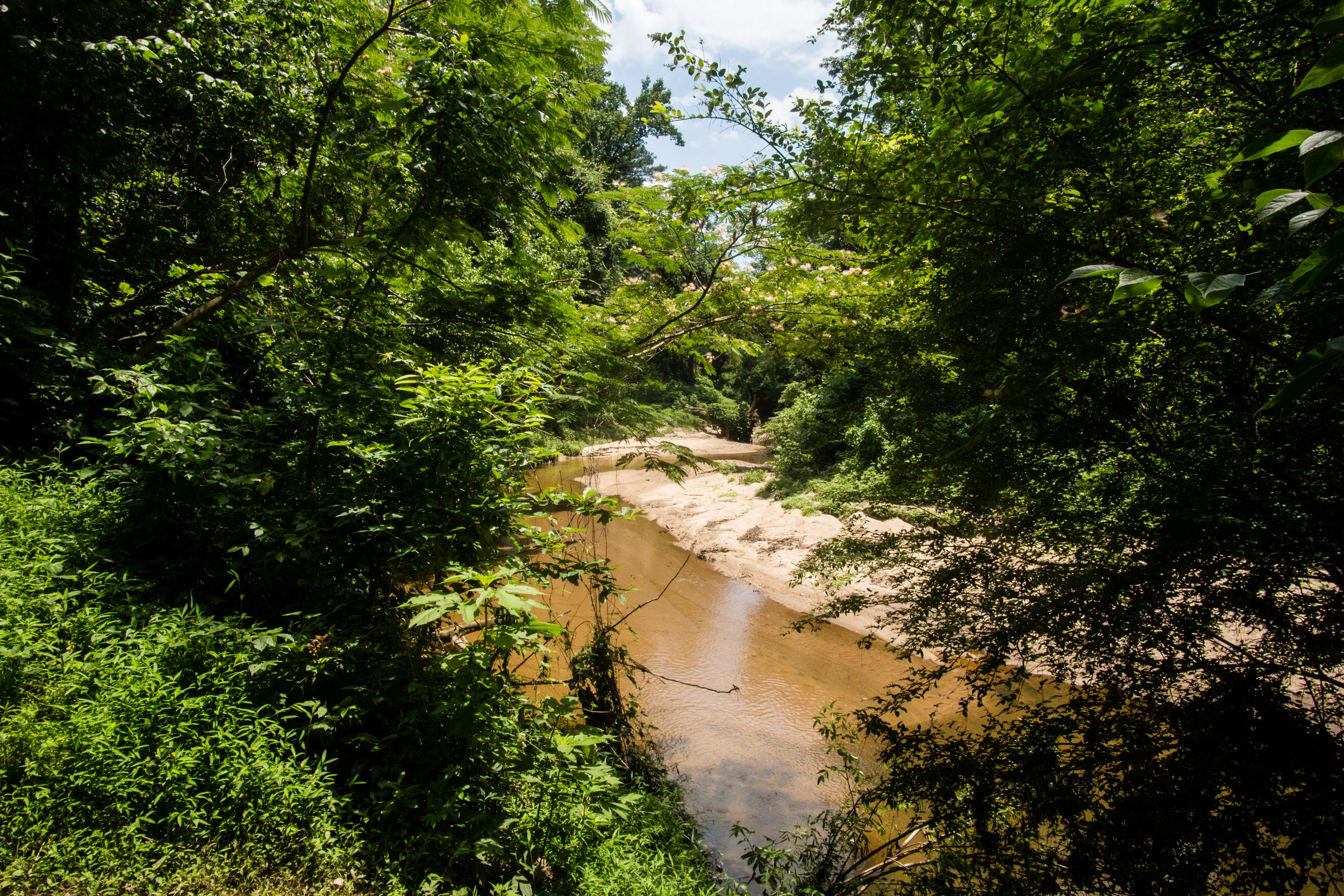
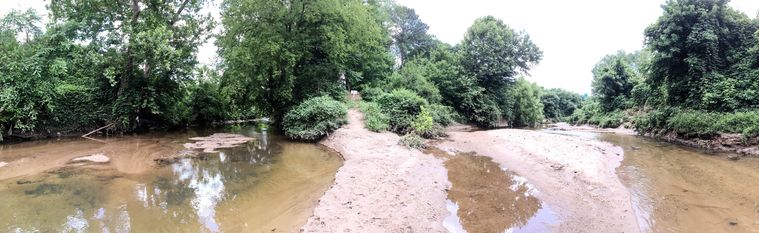
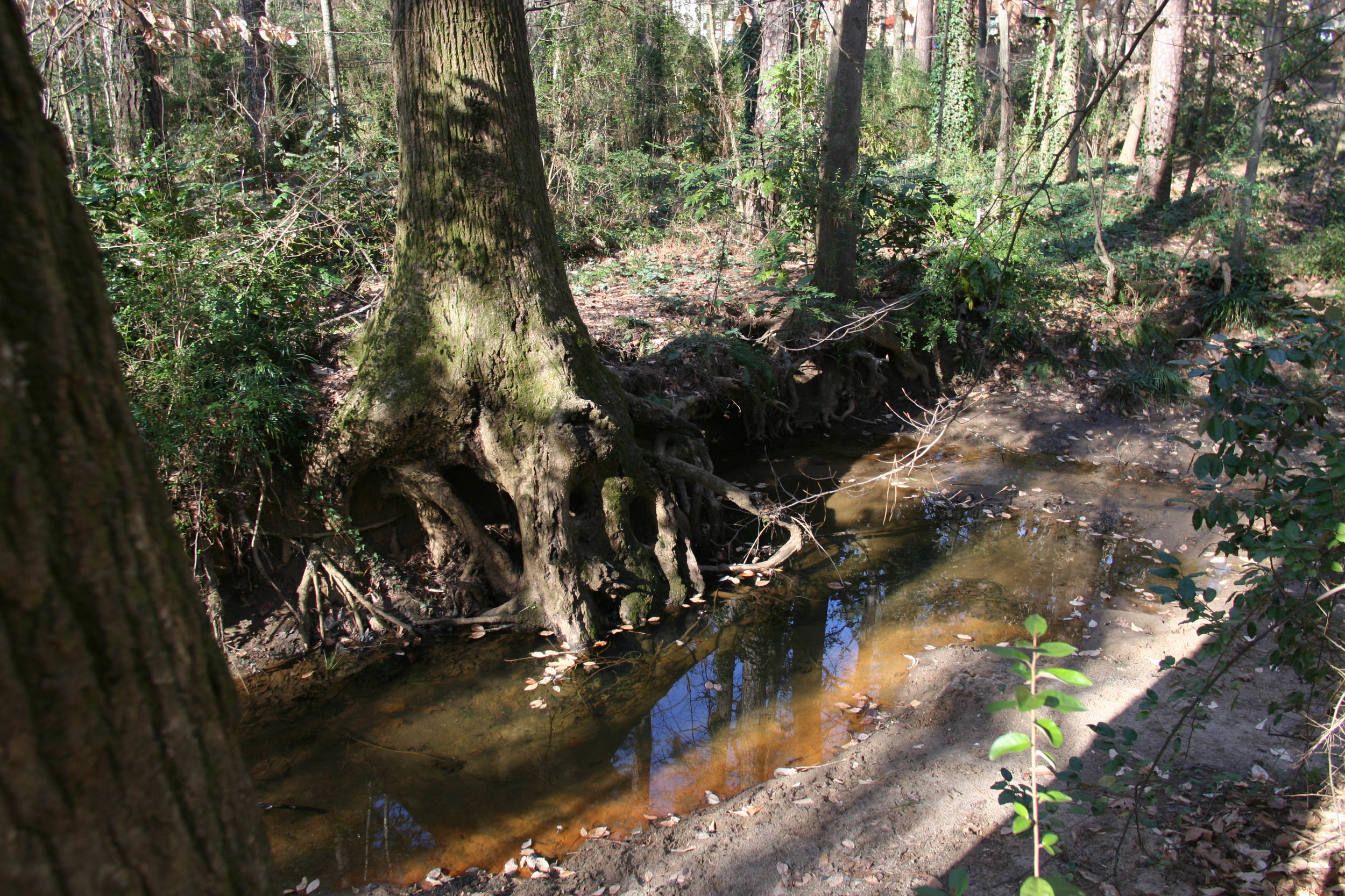
Note: The area of land highlighted in this blog post is all east of Intrenchment Creek. West of the creek is the land associated with the Old Atlanta Prison Farm. No trespassing is allowed in the prison farm buildings, and the area is frequently patrolled by the police. You may see that OpenStreetMap has marked land west of the creek as “City of Atlanta greenspace – keep out”. I haven’t heard of anyone getting in trouble for being on the trails west of the creek as long as they stay away from the buildings, but it might be best to stay east of the creek. There is no bridge across the creek between the two properties.